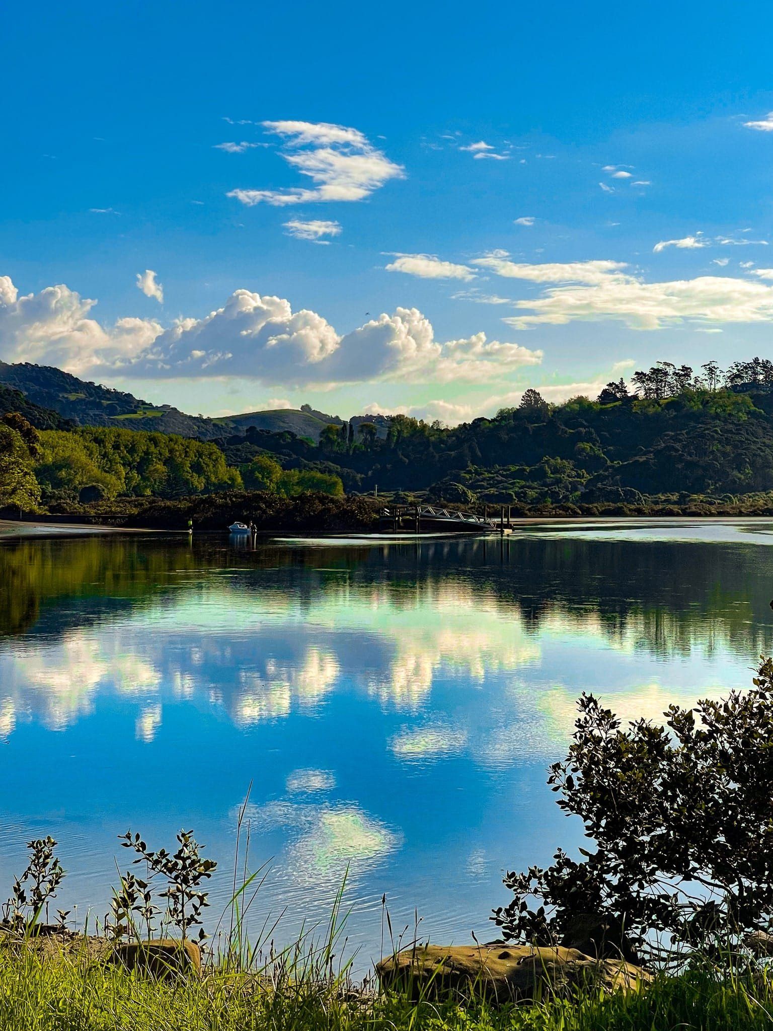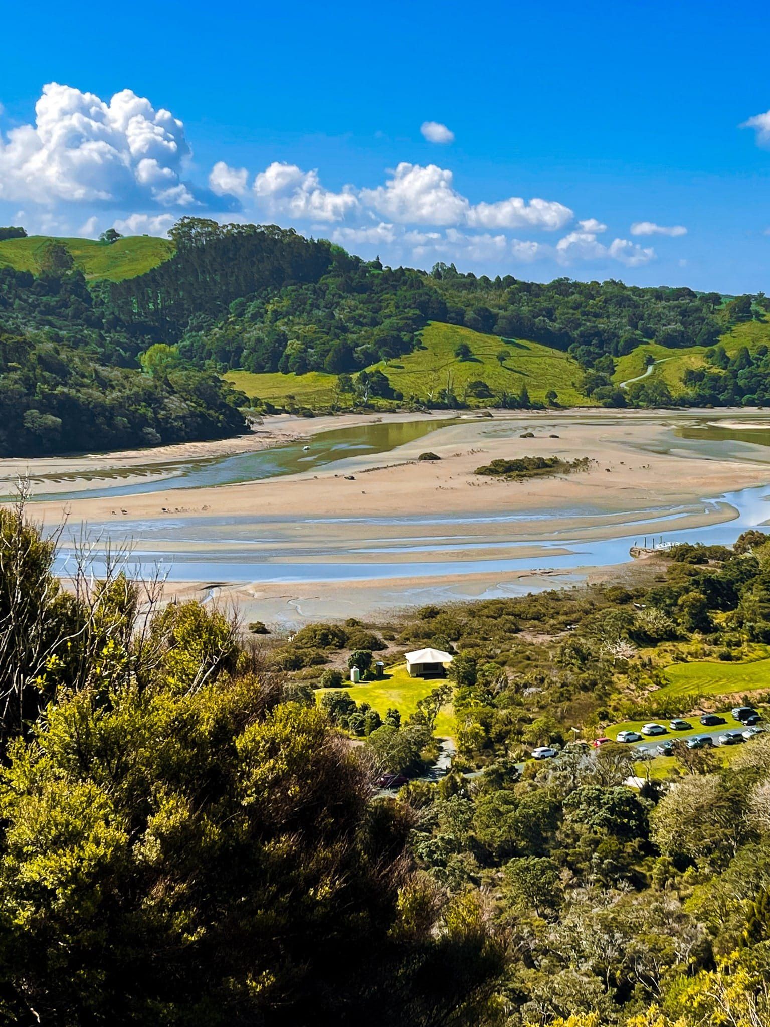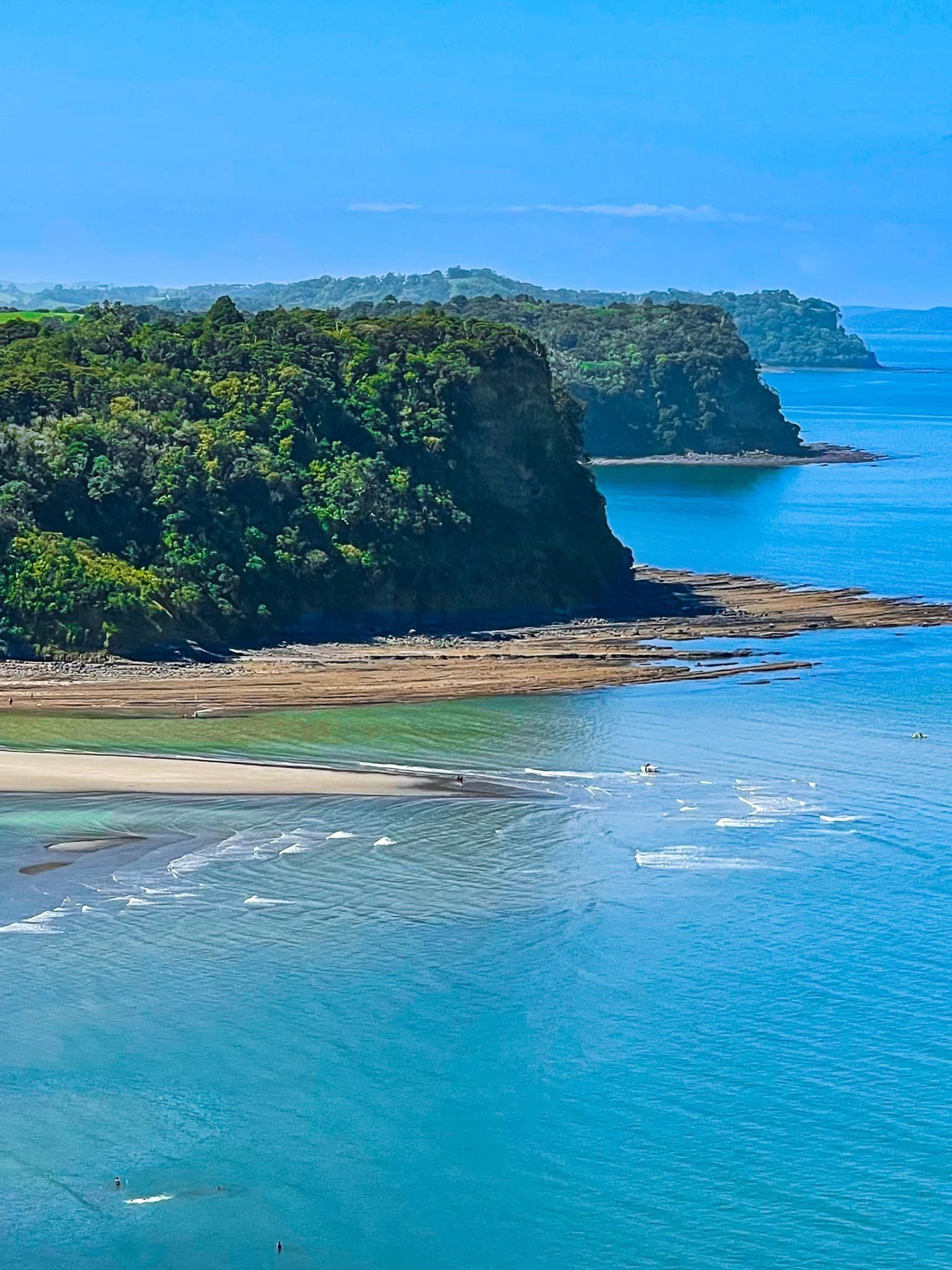
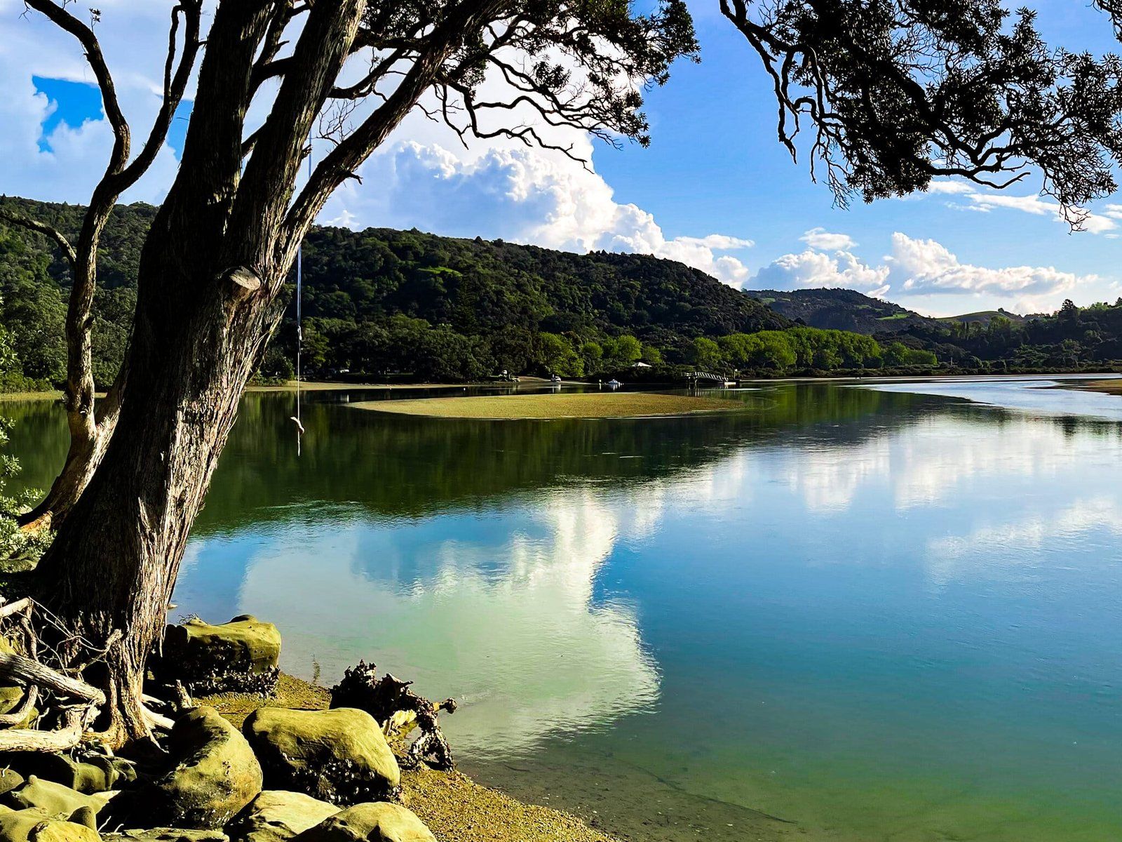
Wenderholm Regional Park in the north of Auckland was the first of the 28 Auckland City regional parks. It sits between the Puhoi River and the Waiwera River. The park is mainly made up of a high hill, Maungatauhoro, with a prominent sea-facing cliff, and Te Akeake spit north of the hill.
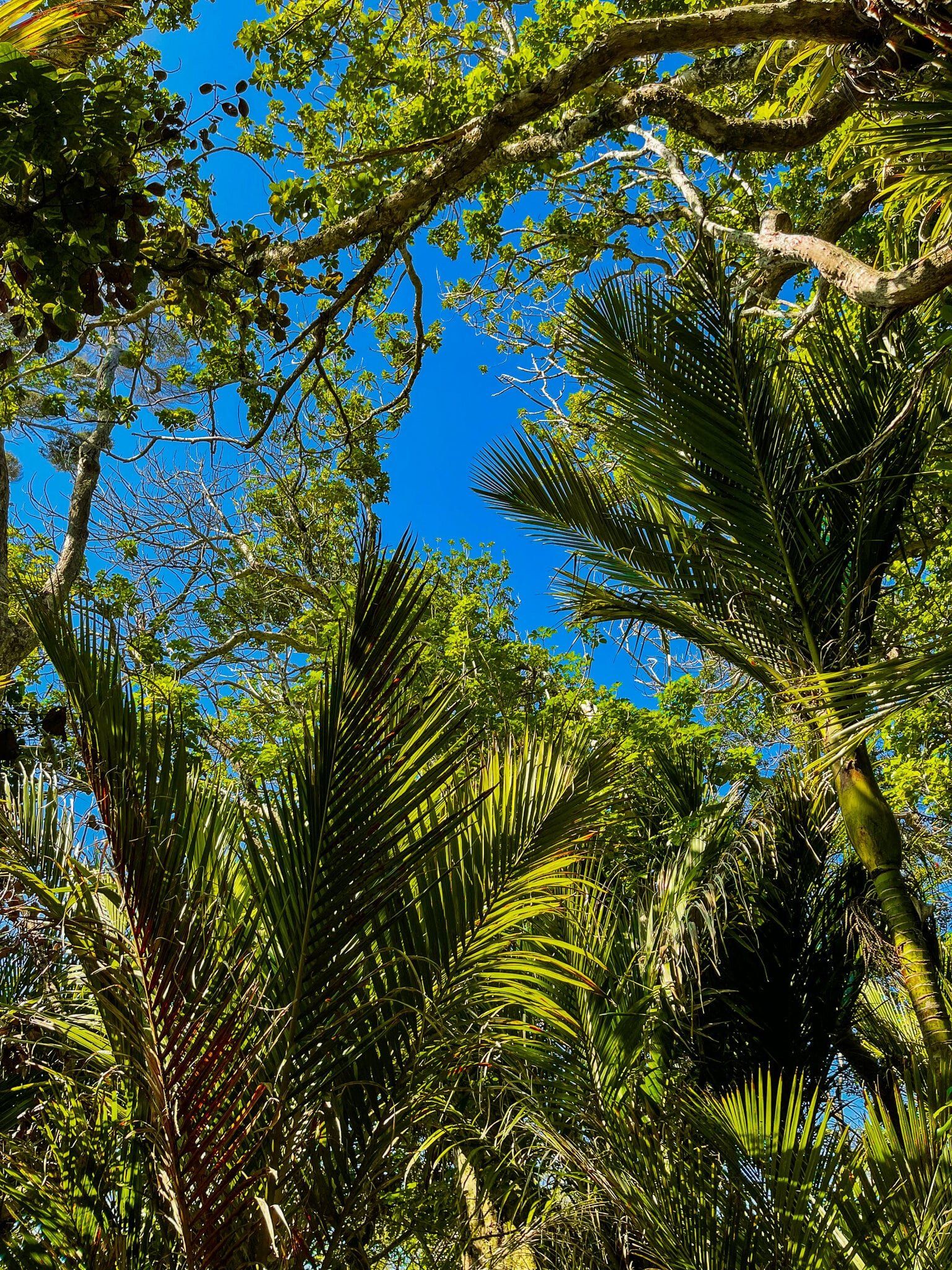
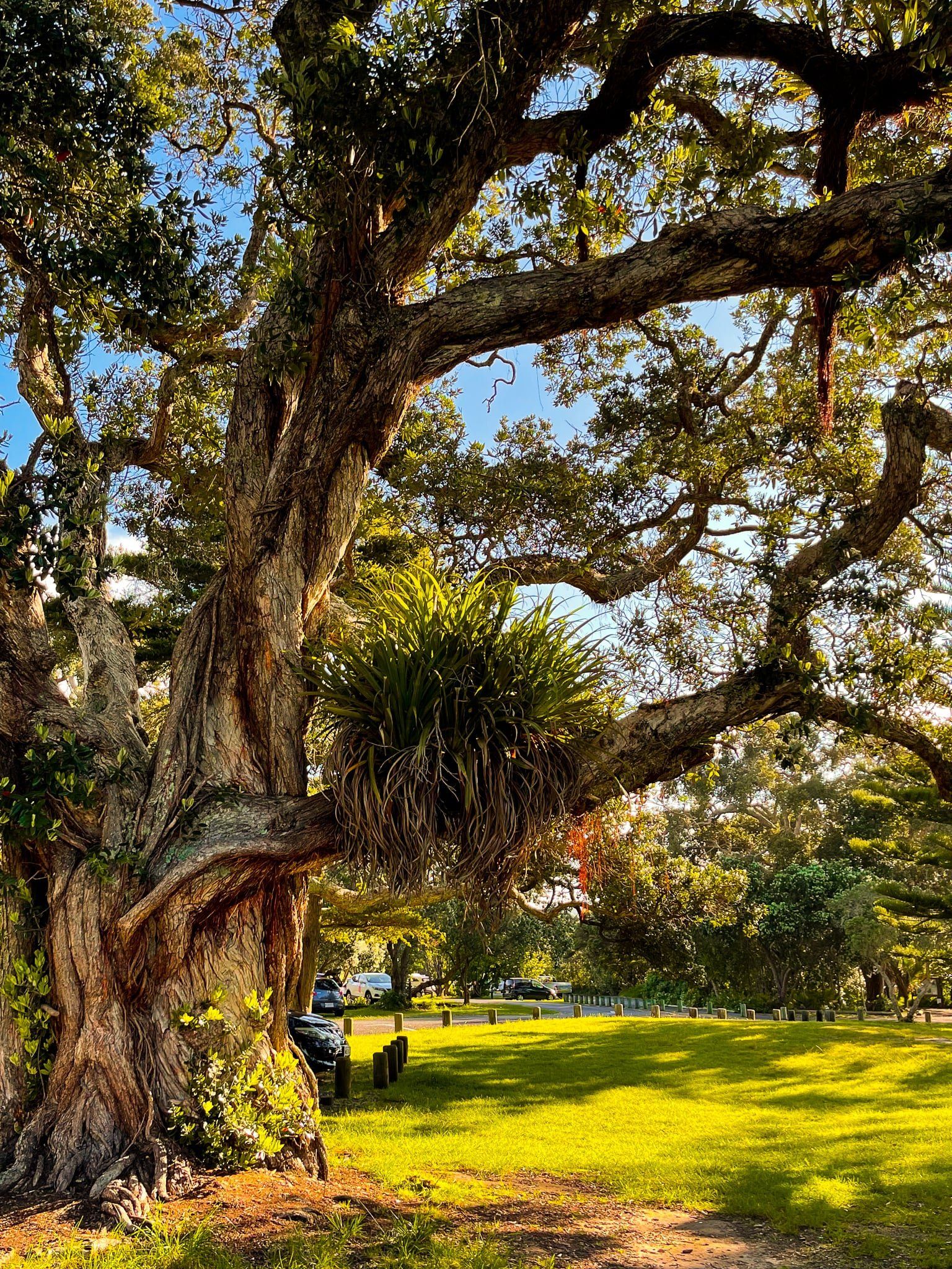
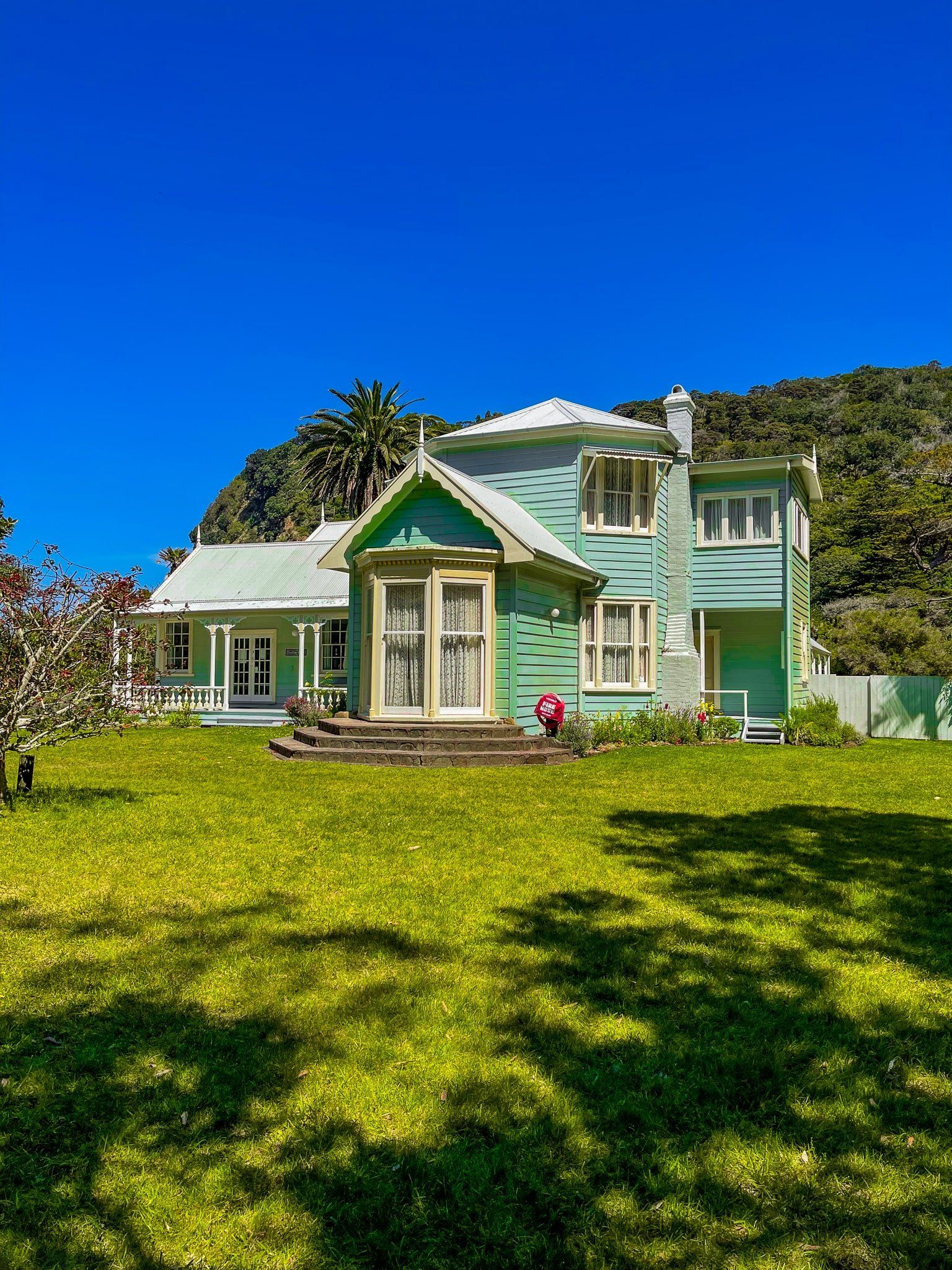
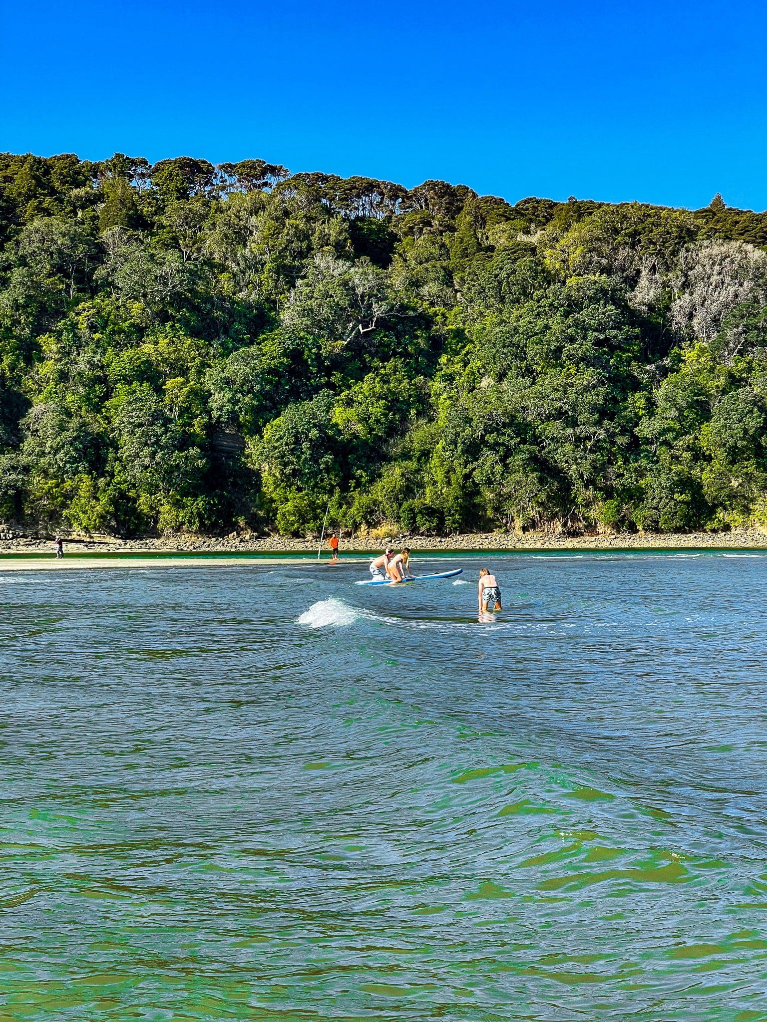
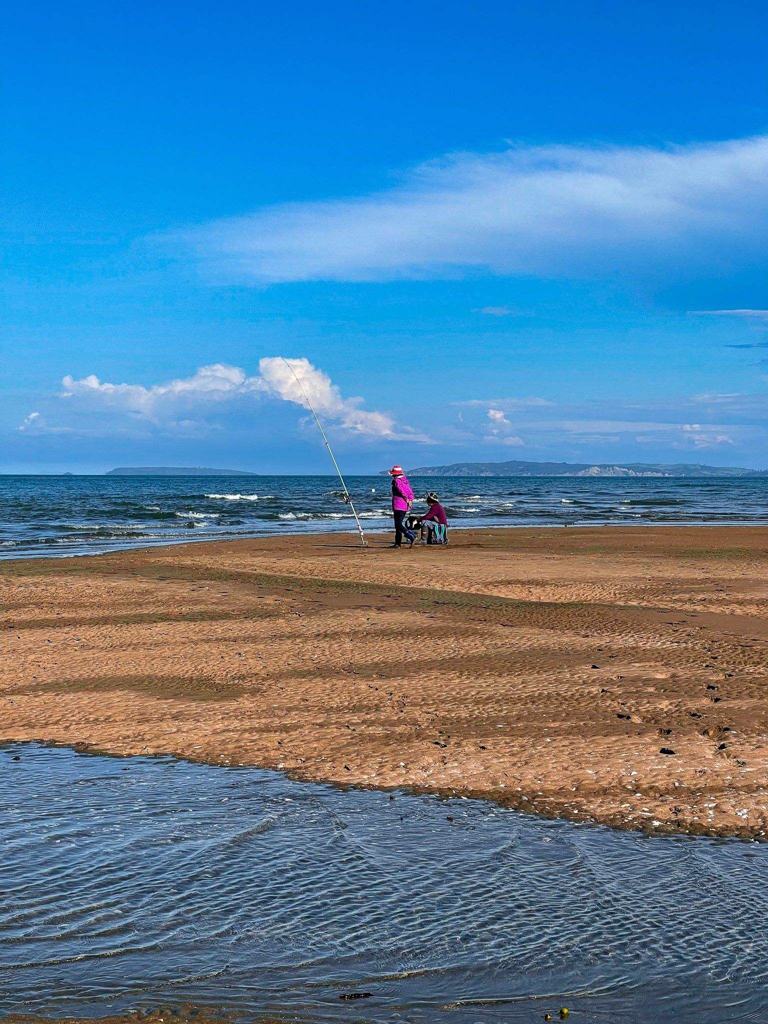
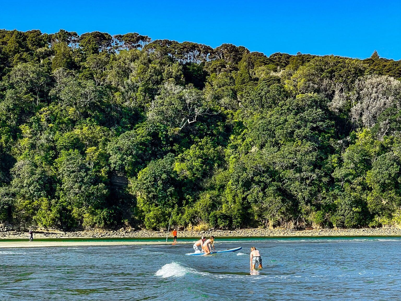
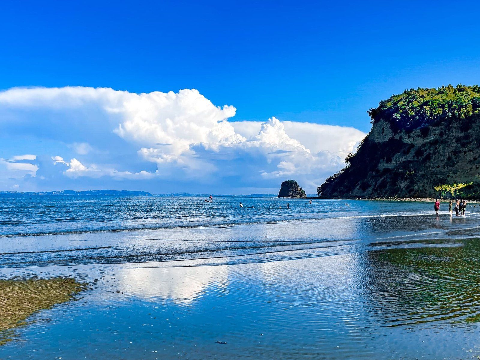
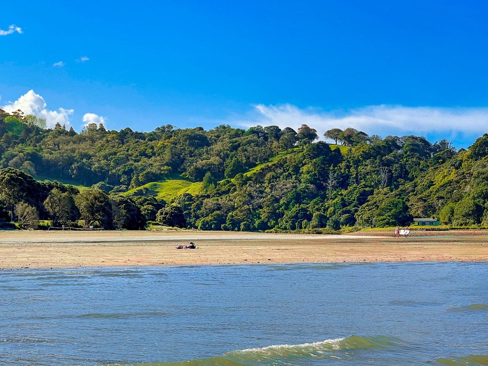
Maungatauhoro is mostly covered in established and regrowth native forest. The spit is mainly grass-covered with pōhutukawa trees and is perfect for picnics and barbecues. There is a beach on the east side of the spit and it’s especially safe for swimming, except around the Puhoi River mouth. The historic Couldrey House at the south end of the spit. The house is surrounded by gardens, with a number of well-established exotic trees, alongside the pōhutukawa and other natives. Check opening times if you would like to go inside.
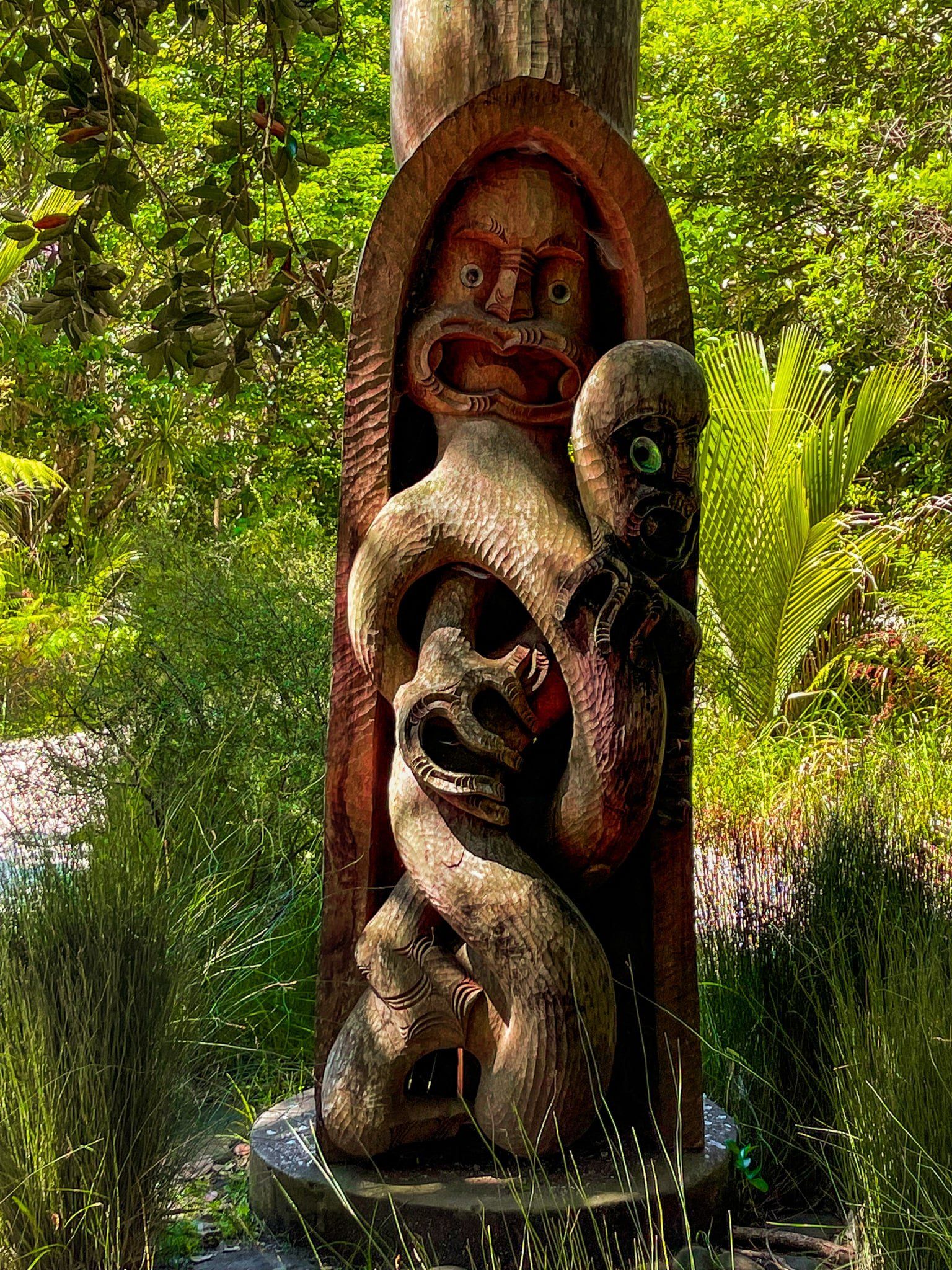
Māori occupied the area from around the 1300s, and there was a defensive pā on the top of Maungatauhoro. In the 1840s, the Māori owners sold the land to Robert Graham, a prominent early Auckland settler and businessman. He named the area Wenderholm (‘winter home’ in Swedish). Subsequent owners modified and expanded the original house. The Couldrey family were the final private owners before selling the property to Auckland City in 1965.
There are several walking options at Wenderholm. Tracks run over and around Maungatauhoro, with fabulous views to the north. Te Akeake Walk goes along the spit beside the Puhoi River to the River mouth, then loops back via Wenderholm Beach. The longer track over Maungatauhoro is also a section of Te Araroa.
Wenderholm can be reached from the Auckland northern motorway, State Highway 1, from the Puhoi exit, heading south on Twin Coast Discovery Highway, or north from Orewa on Twin Coast.