
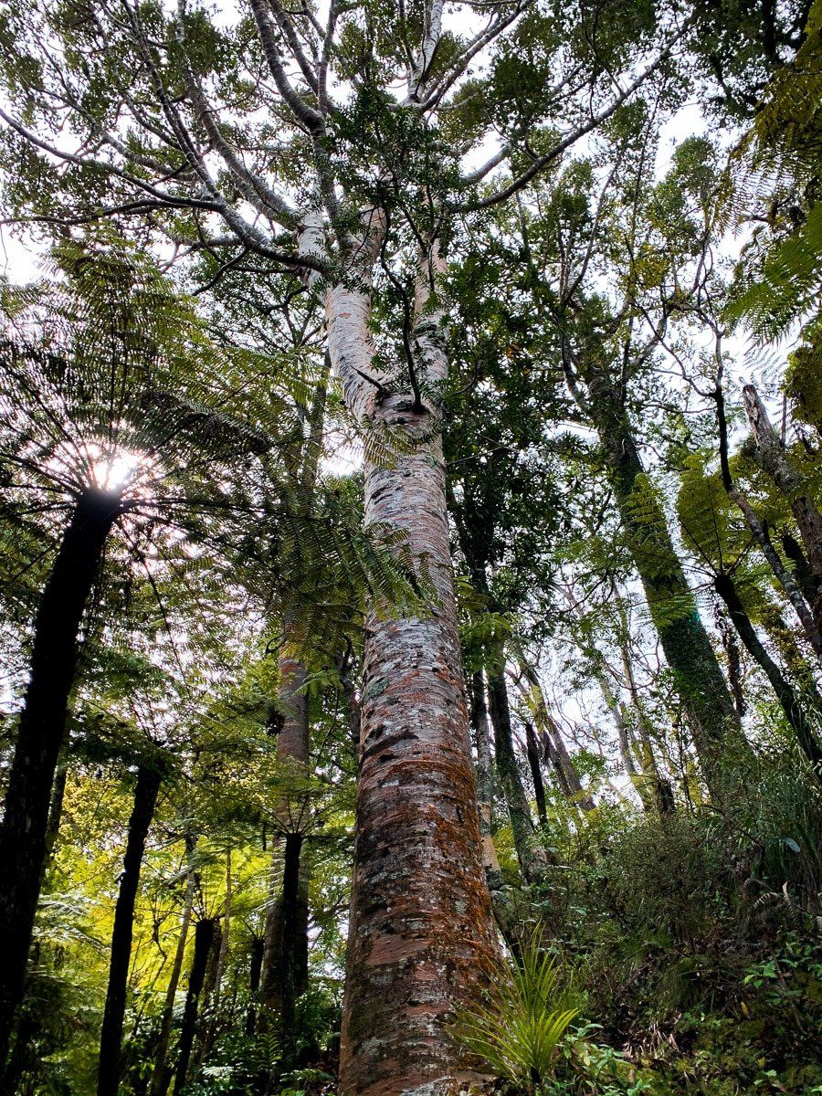
The Waitakere Ranges has always been known to Aucklanders for its hiking trails. Sadly, most trails are presently closed and are likely to be so for some time, due to Kauri dieback disease, a fungus that can be spread by hiking. However, it’s still possible to enjoy various walks that either avoid kauri altogether, or that have kauri protective pathways within regenerating forest.
We’ll post several blogs on Waitakere Ranges walking tracks over the next couple of months, but this first batch is on the southern end of the Waitakere, from Titirangi to Whatipu.
The Zig Zag Track
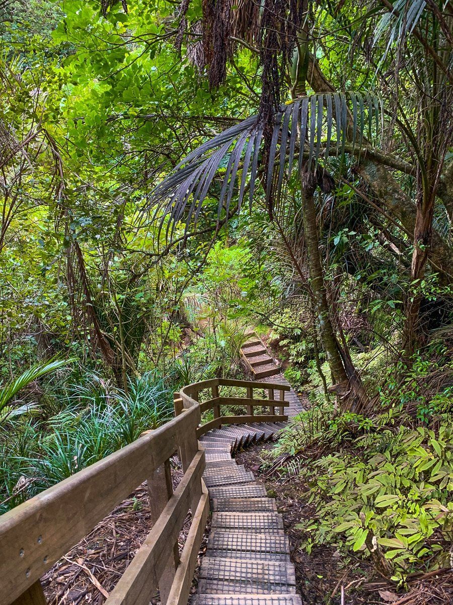
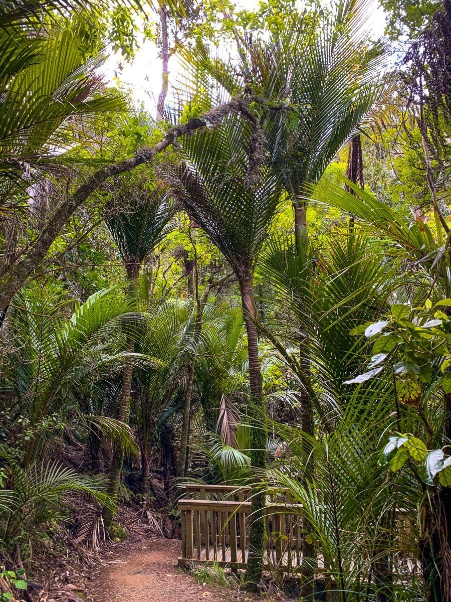
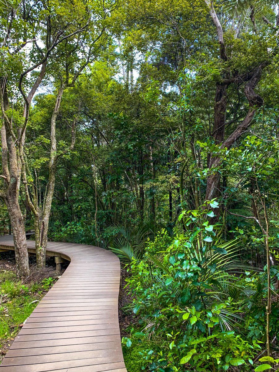
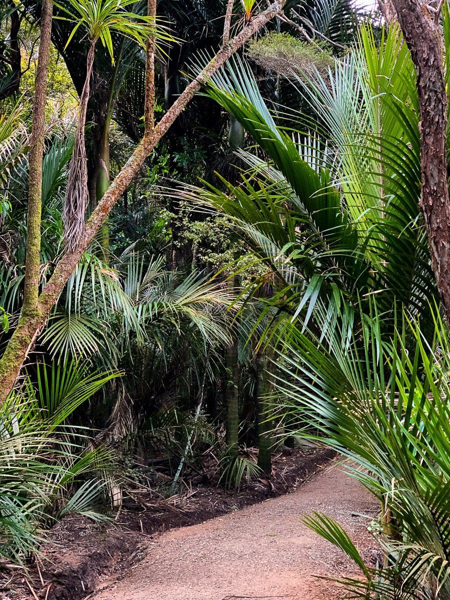
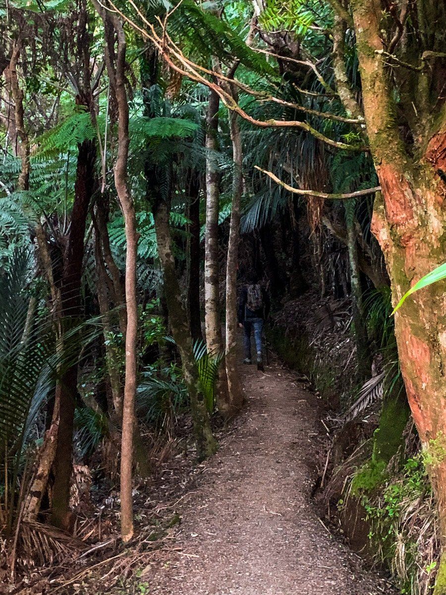
The Zig Zag Track is an exceptionally pretty walk that starts on Park Road, just south of Titirangi Village, and leads down the valley to Titirangi Beach. The one-way track takes thirty to forty minutes, and with boardwalks and steps is a reasonably easy walk.
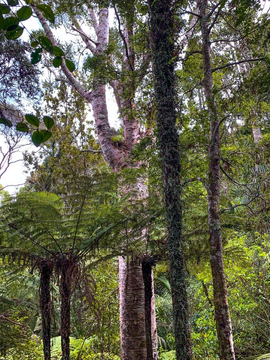
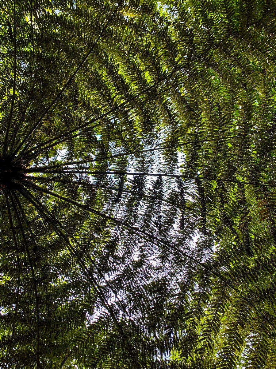
The track drops quite steeply alongside a deep gully through native bush, rich in nikau palms and kauri. At the end of the track you get to Titirangi Beach Road, and a further short walk brings you to Titirangi Beach.
As an aside, suburban Park Road has an astonishing number of maturing kauri trees, even for Titirangi – just walking or driving along the road is worth it.
Laingholm Point coastal walk
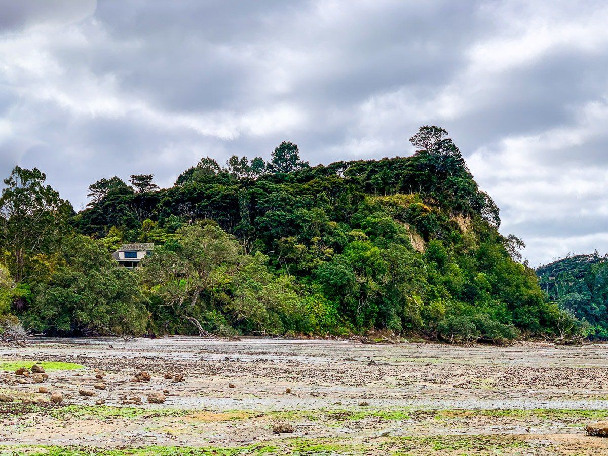
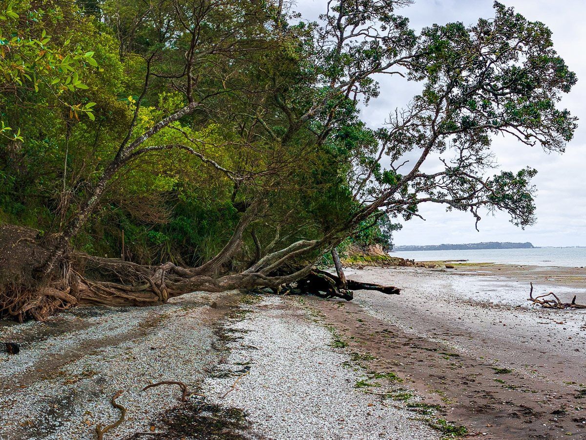
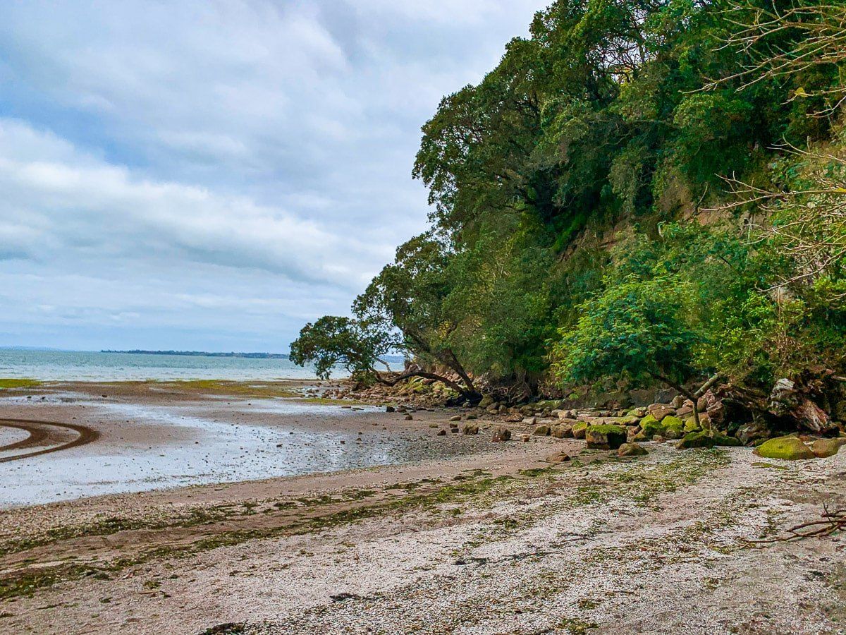
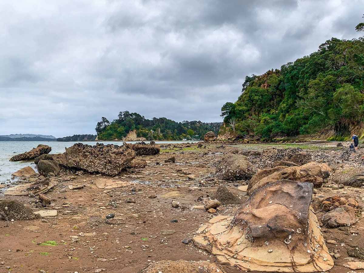
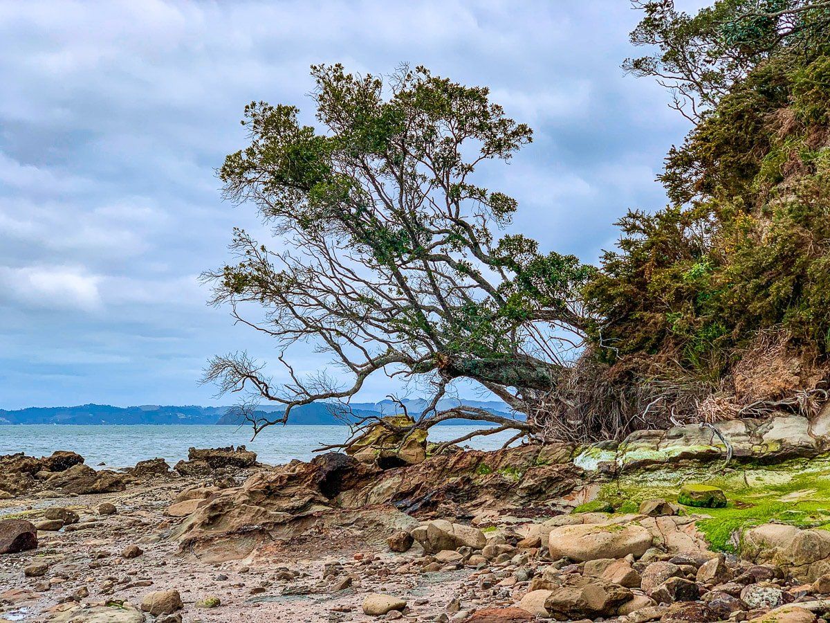
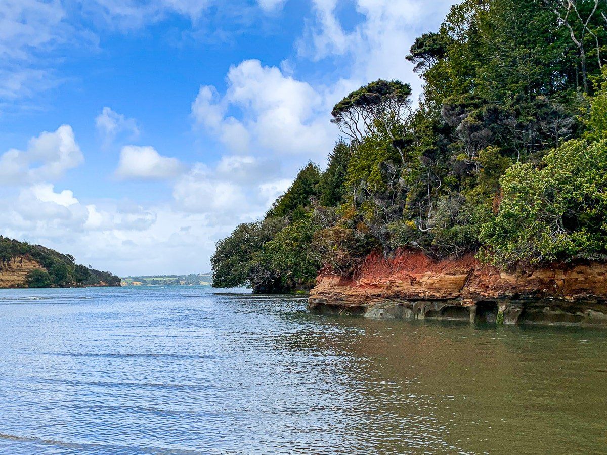
As the tide goes out, you can walk between a few different beaches around the Manukau Harbour coast. One of these is Laingholm Point, which you can access by walking from Jenkins Bay (which begins at the end of South Titirangi Road).
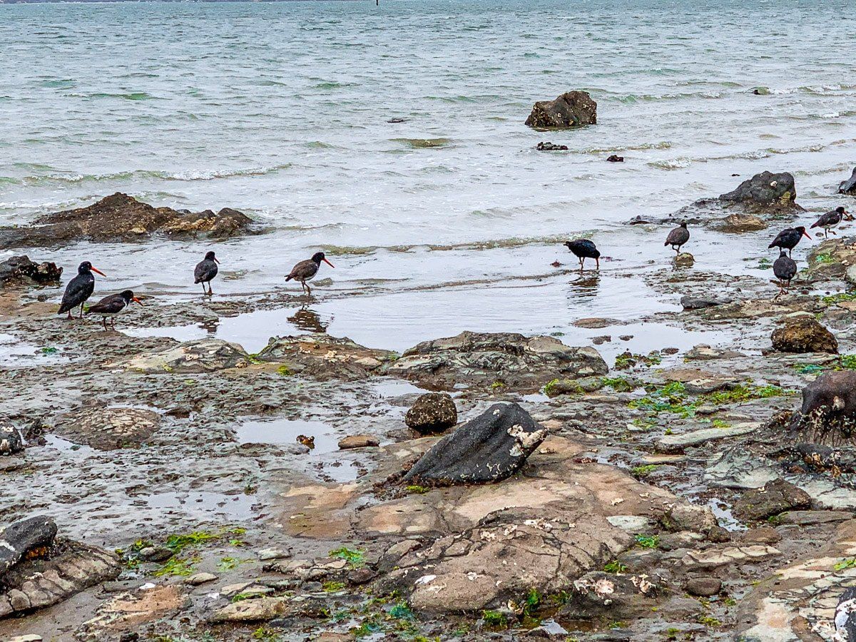
Once you reach Laingholm you can walk around the point itself, or head north along the rocky foreshore toward Titirangi Beach. There’s also no reason to stop there – you can cross much of the Manukau Harbour coast at low tide, stopping at other small Waitakere beaches. The coast is also rich in birdlife, especially oyster catchers, which are less common in most other parts of New Zealand.
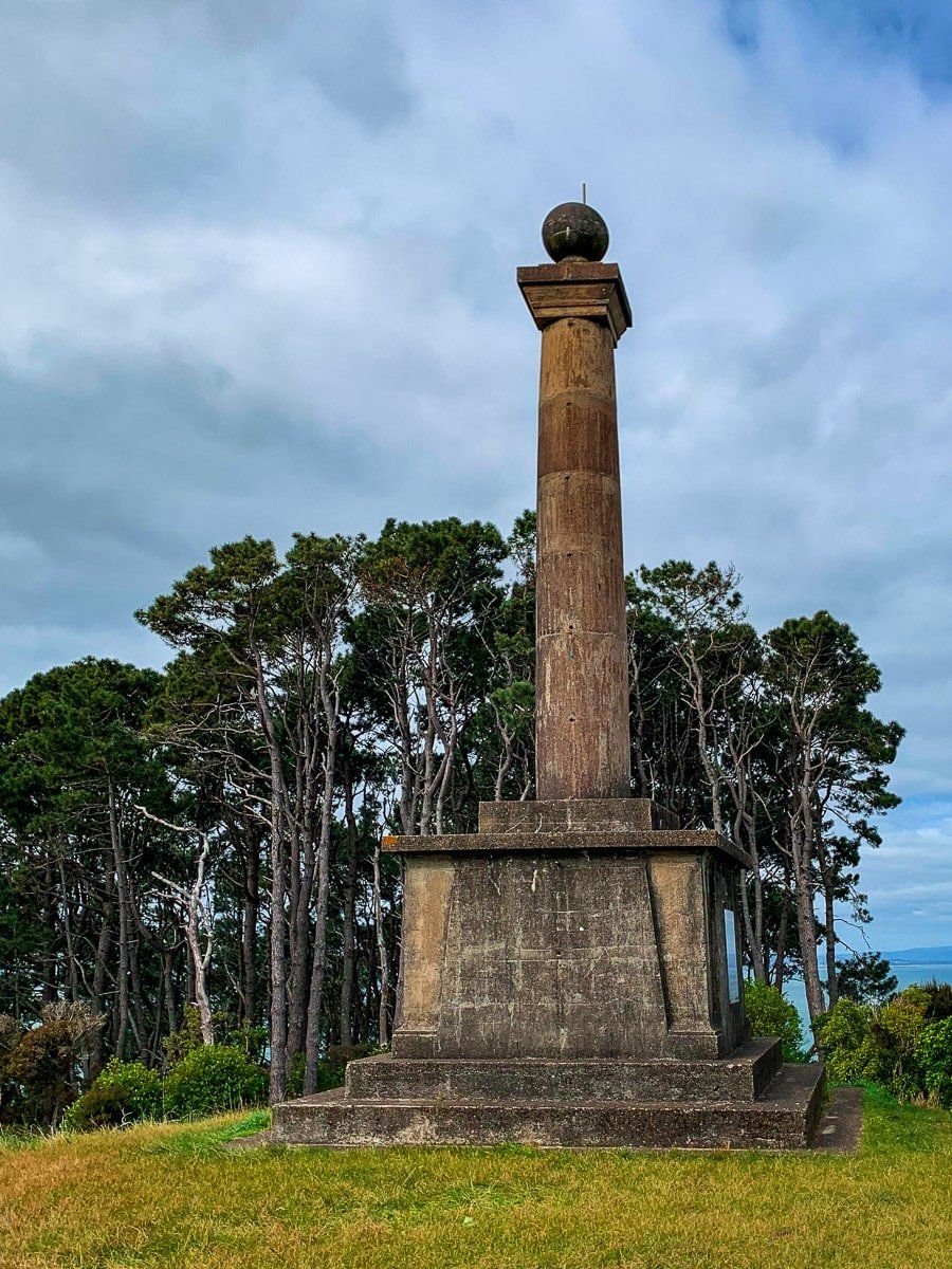
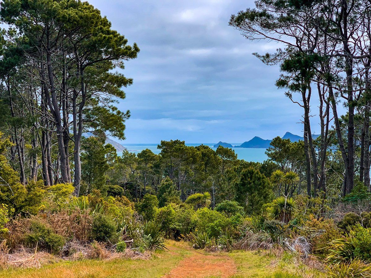
Puponga Point
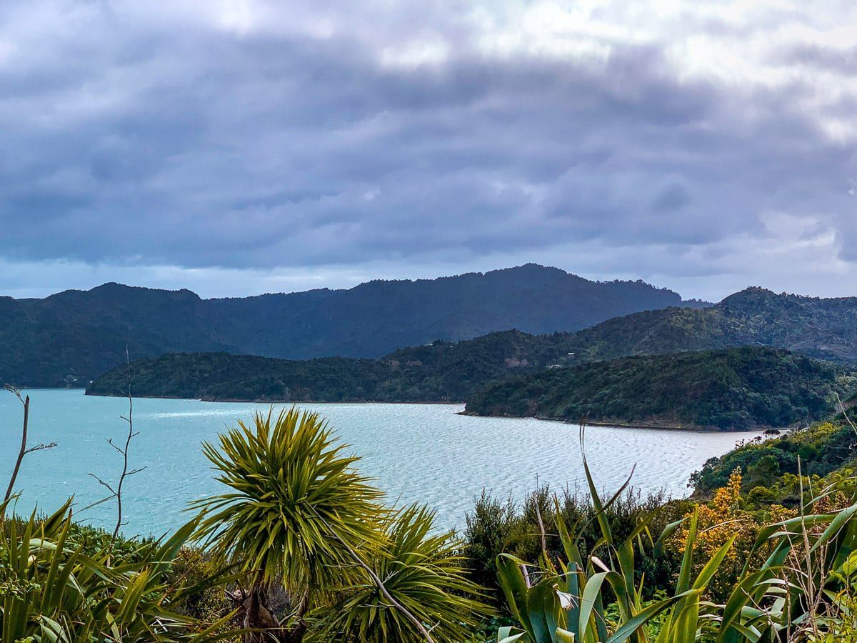
At the end of the Karangahape Peninsula there’s an easy uphill walk to the top of the Puponga Point. When you reach the peak you’ll find superb views and the McLachlan Memorial, which commemorates early European attempts (and dismal failures) at local settlement in 1841, and the eventual gift of the surrounding land to Auckland City by John McLachlan in 1927. That land is now a significant portion of the Waitakere Ranges Regional Park.
To get to the trailhead, drive to the very end of Cornwallis Road from Huia Road. From the car park you’ll access the trail to Puponga Point, and you’ll also spot a rough trail down to Daniel Bay, which looks toward Little Huia. Even a short walk down this trail provides great views of the Manukau Heads. If you have more time, there are also some nice bush and beach walks between the restored Cornwallis wharf and Cornwallis Beach.
Kakamatua Trail
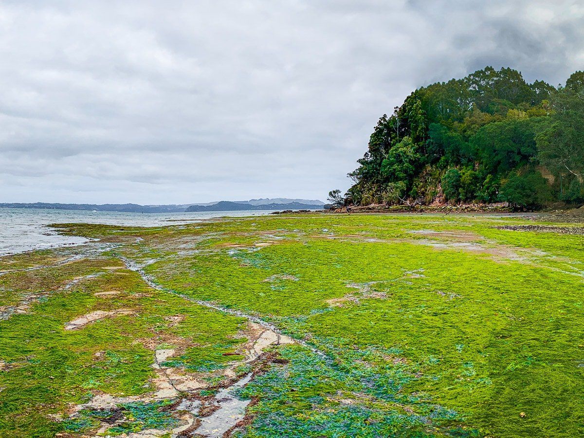
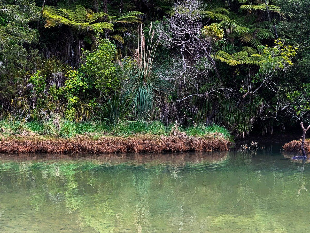
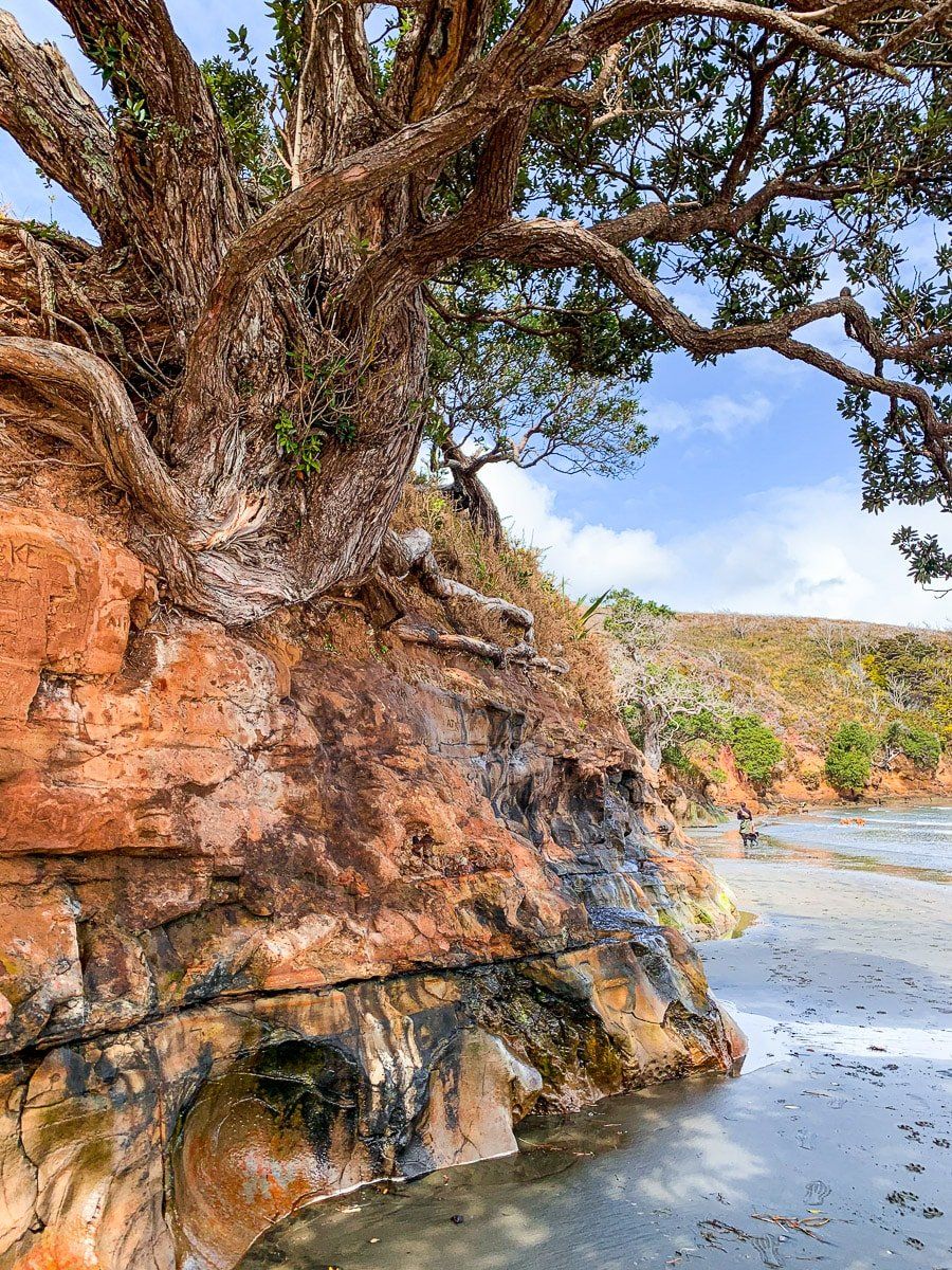
The Kakamatua trail is by the Kakamatua Inlet off Huia Road, shortly after the turnoff to Cornwallis. It’s easy to miss, so keep an eye out!
From the car park, the trail follows a stream through native bush and kauri, ending at a beach at the head of the inlet. At low tide you can walk to the east side of the inlet and move around the interesting rocks below the cliff. Plus, it’s dog-friendly, so a good track for a more interesting dog walk.
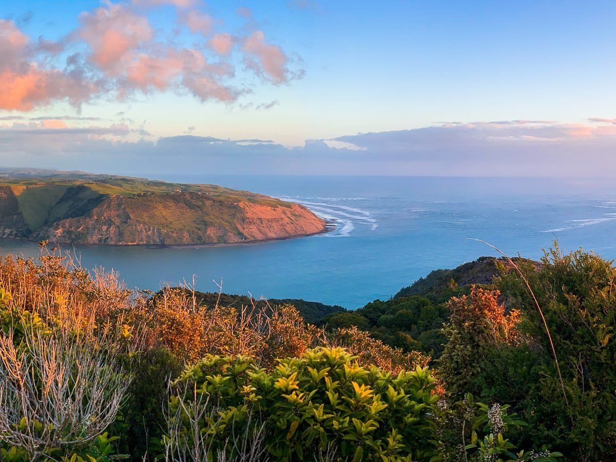
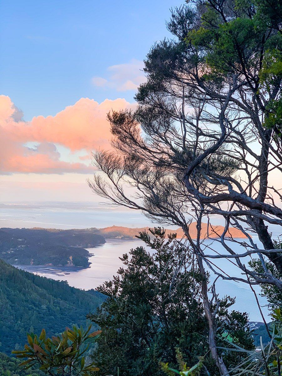
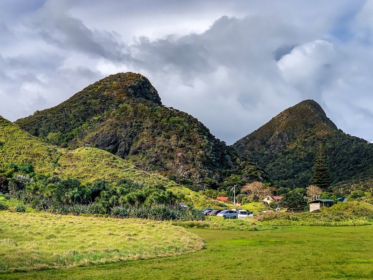
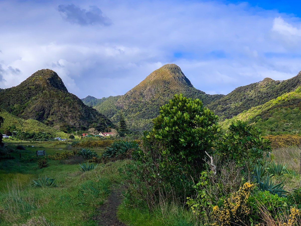
Don McLean Track
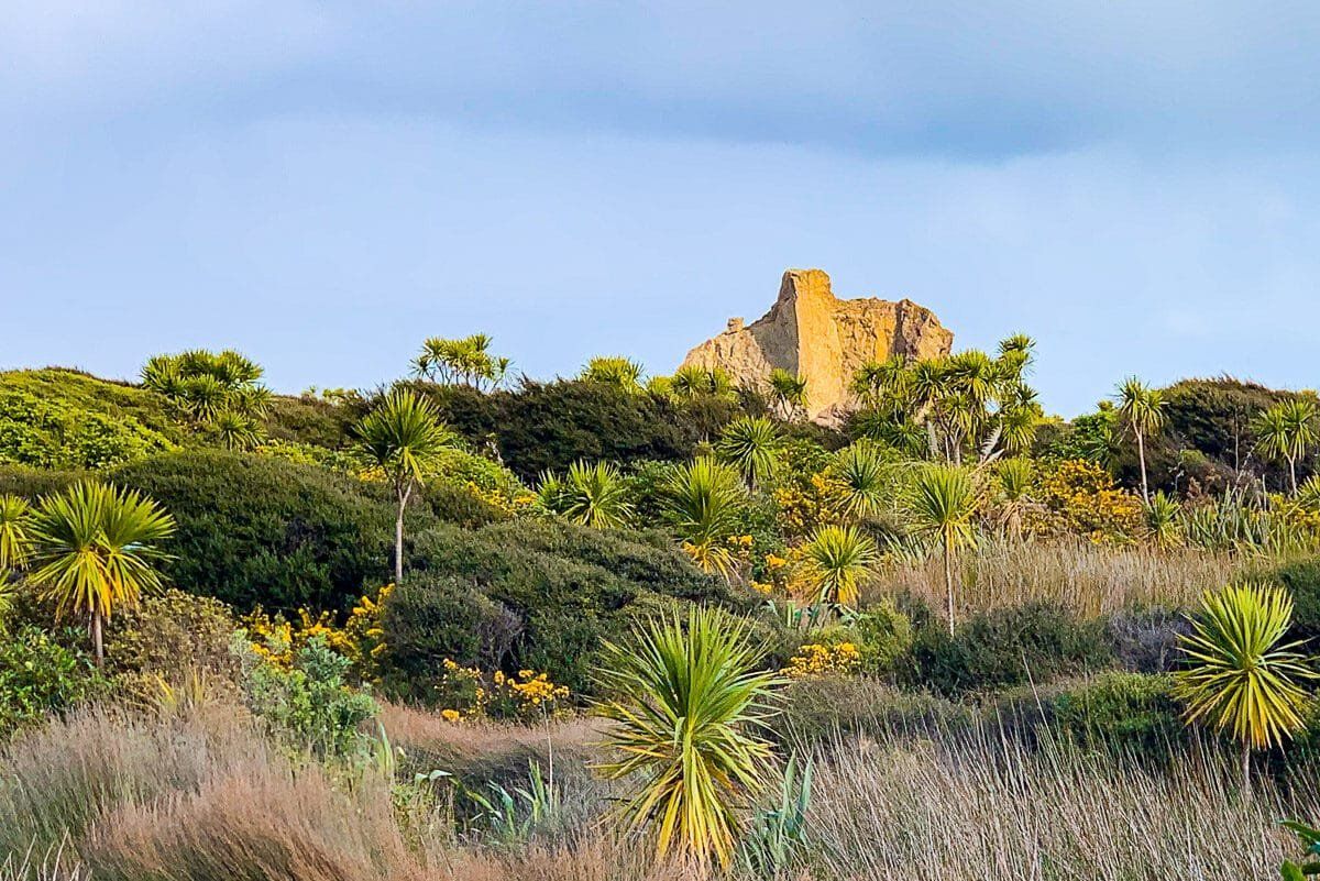
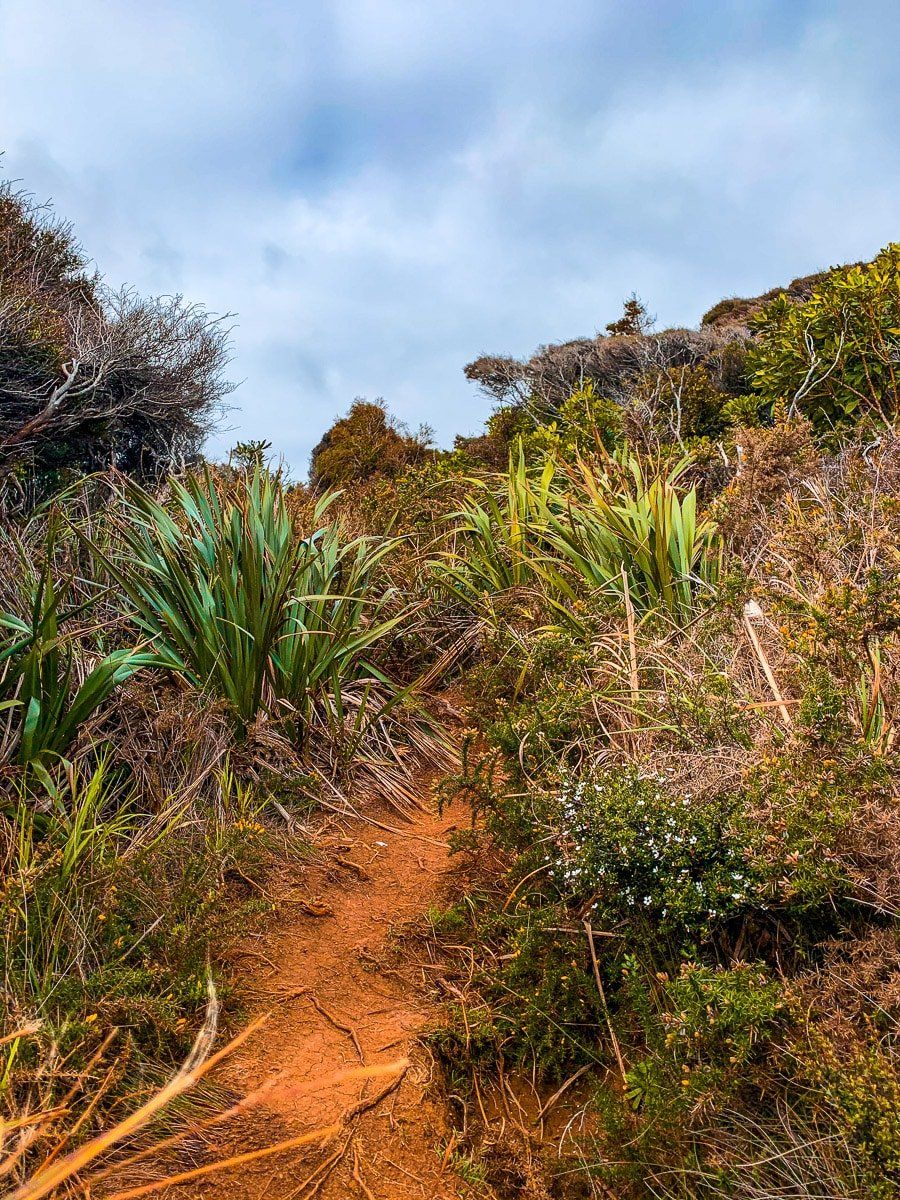
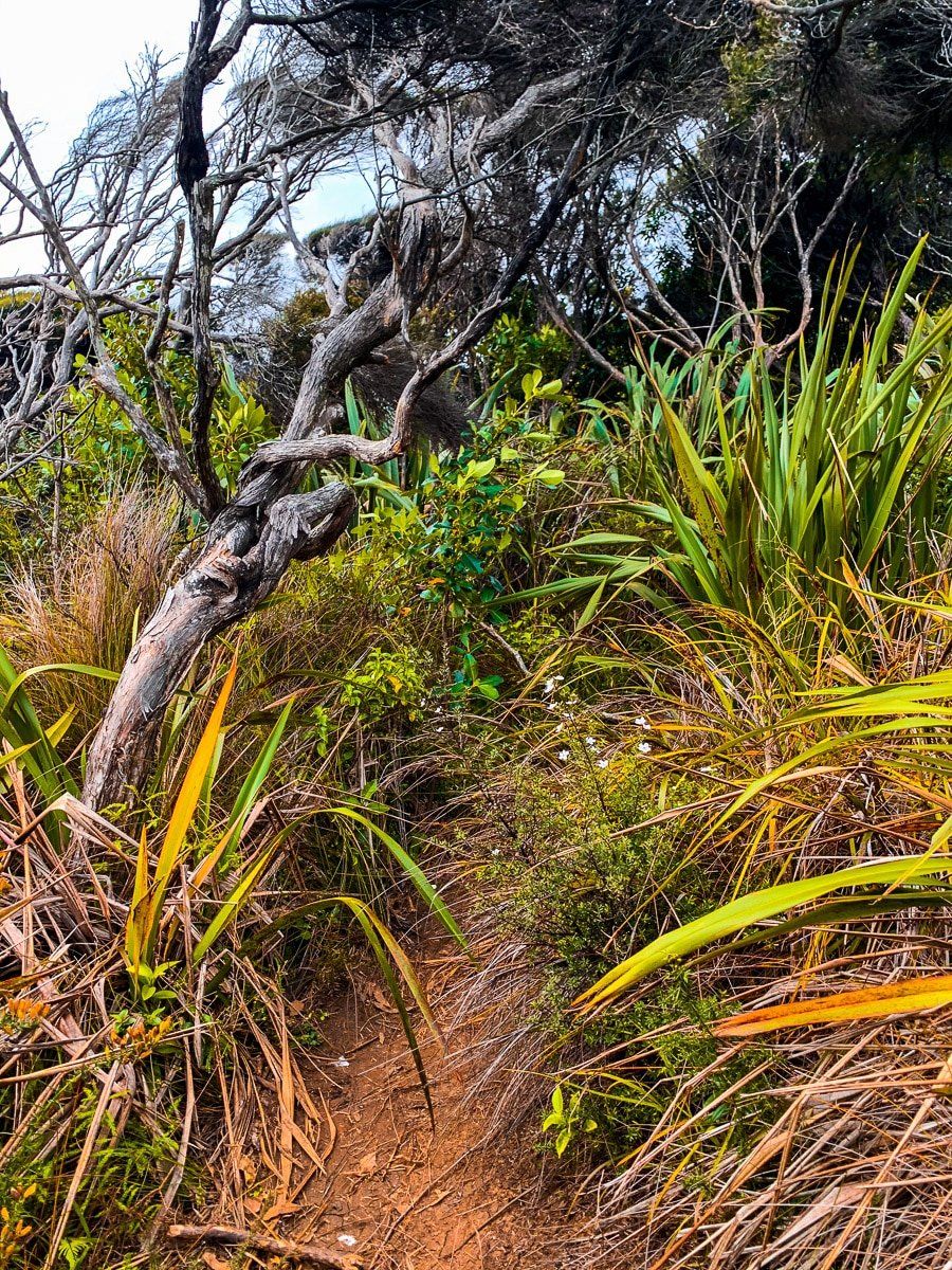
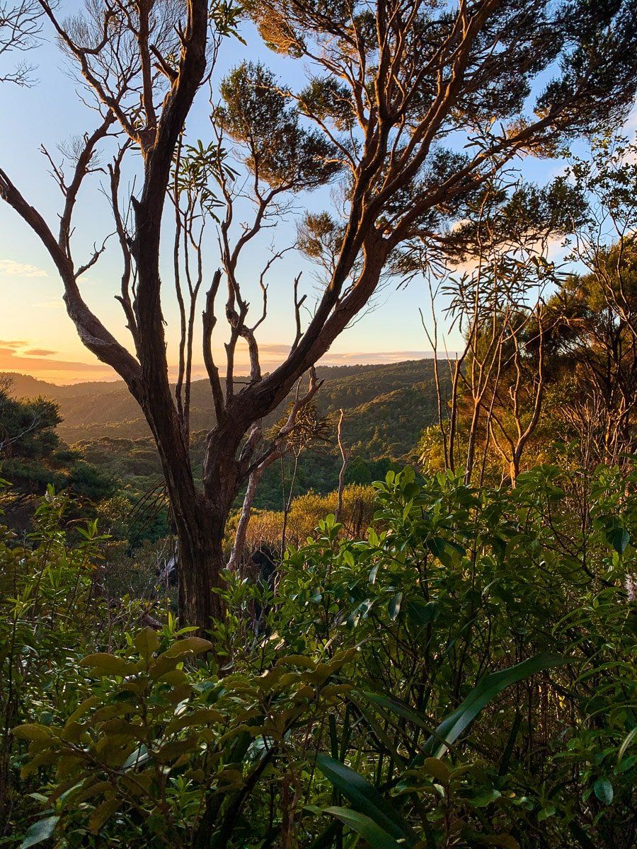
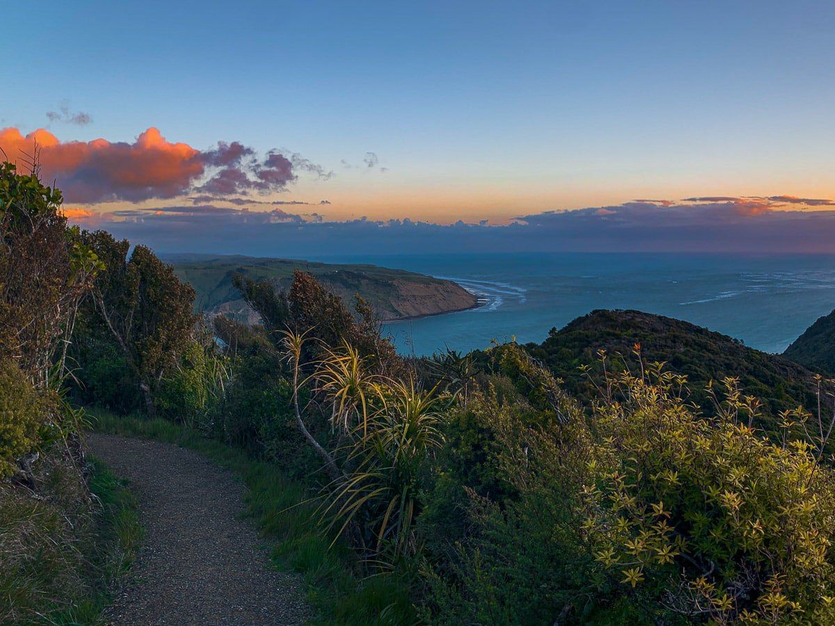
The Don McLean Track is a steep, short walk to the top of Te Rau O Te Huia (Mt Donald McLean). You can access the track from a side road that branches off Whatipu Road, shortly after the road turns from sealed to metal.
From the car park, the track takes you up through Waitakere forest to the top of one of the ancient volcanic peak remnants, 390 metres above sea level. There are a series of similarly sharp peaks in this part of the Waitakere Ranges, but this is the only way you can get to the top. It hardly needs to be said, but the views are exceptional, especially at sunset.
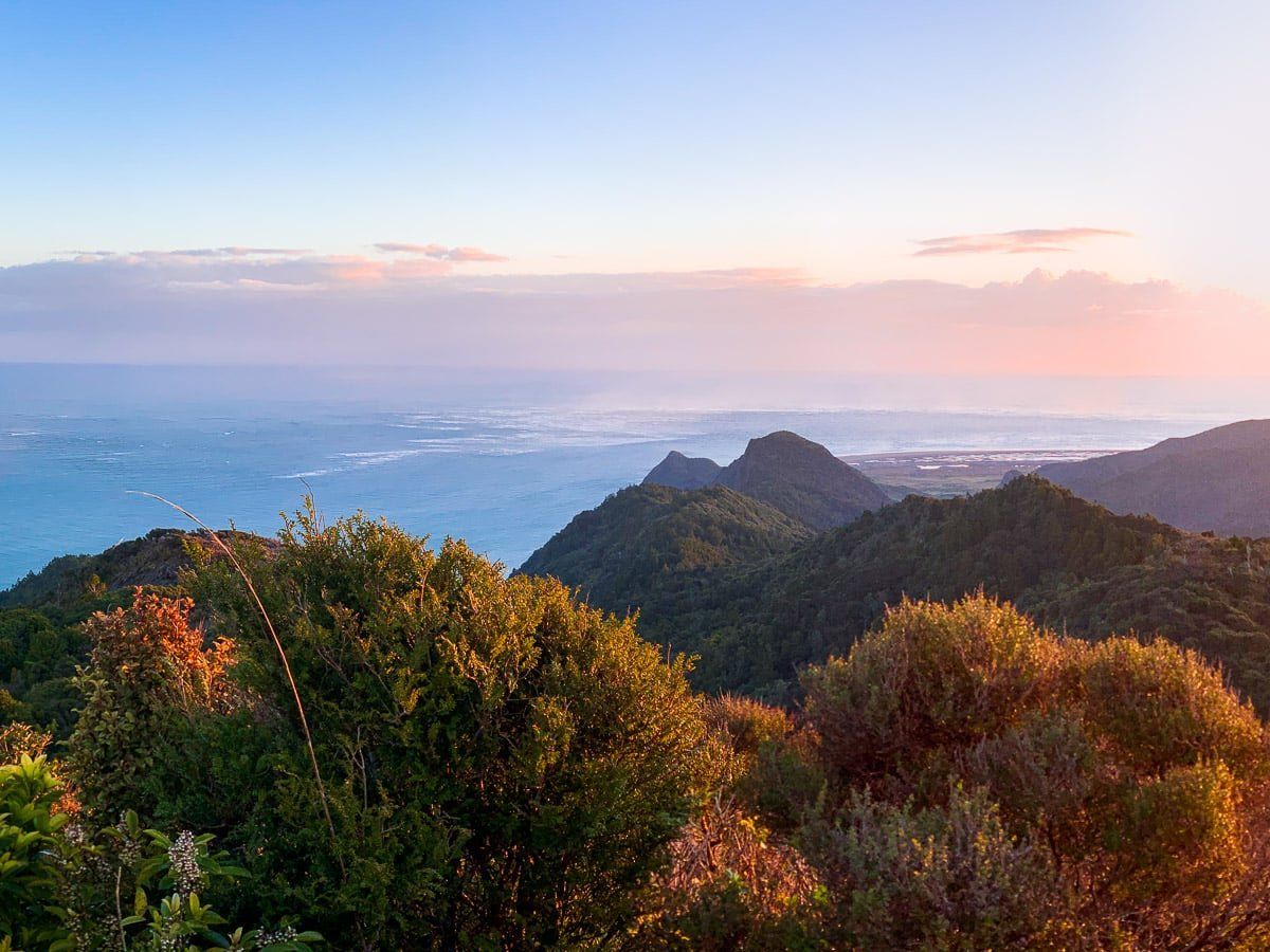
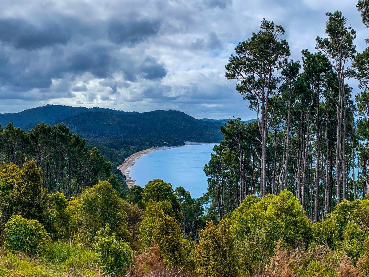
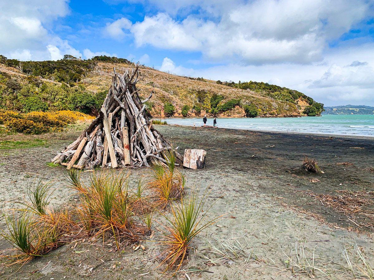
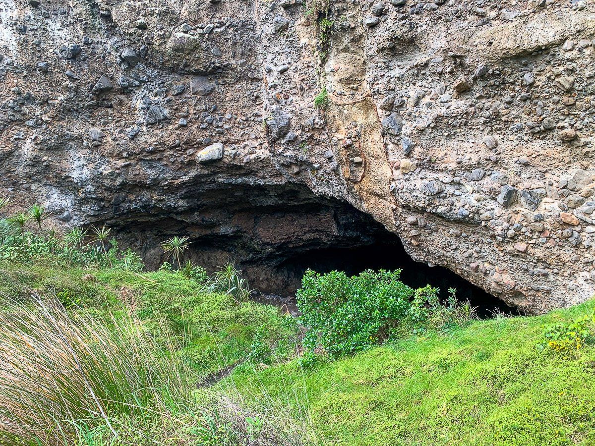
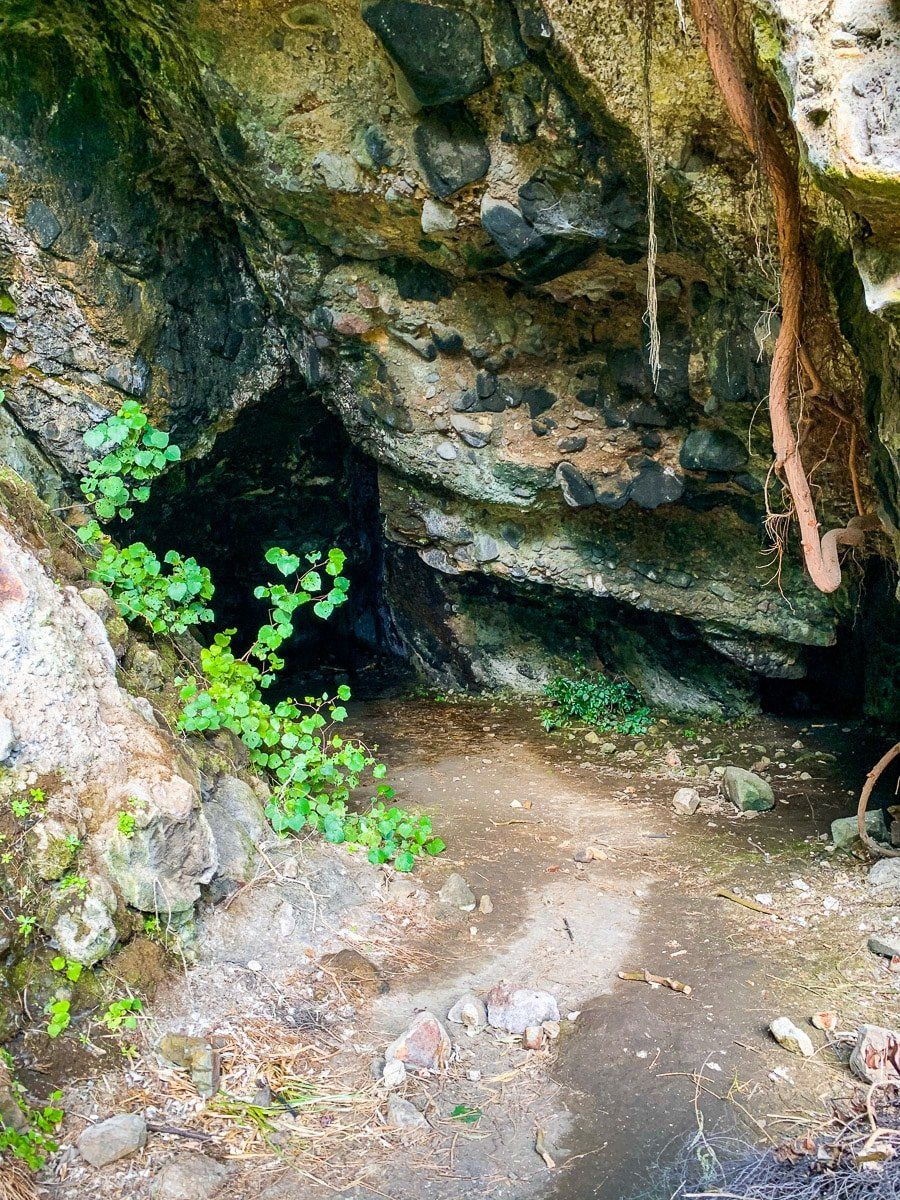
Whatipu Beach and Caves Walk
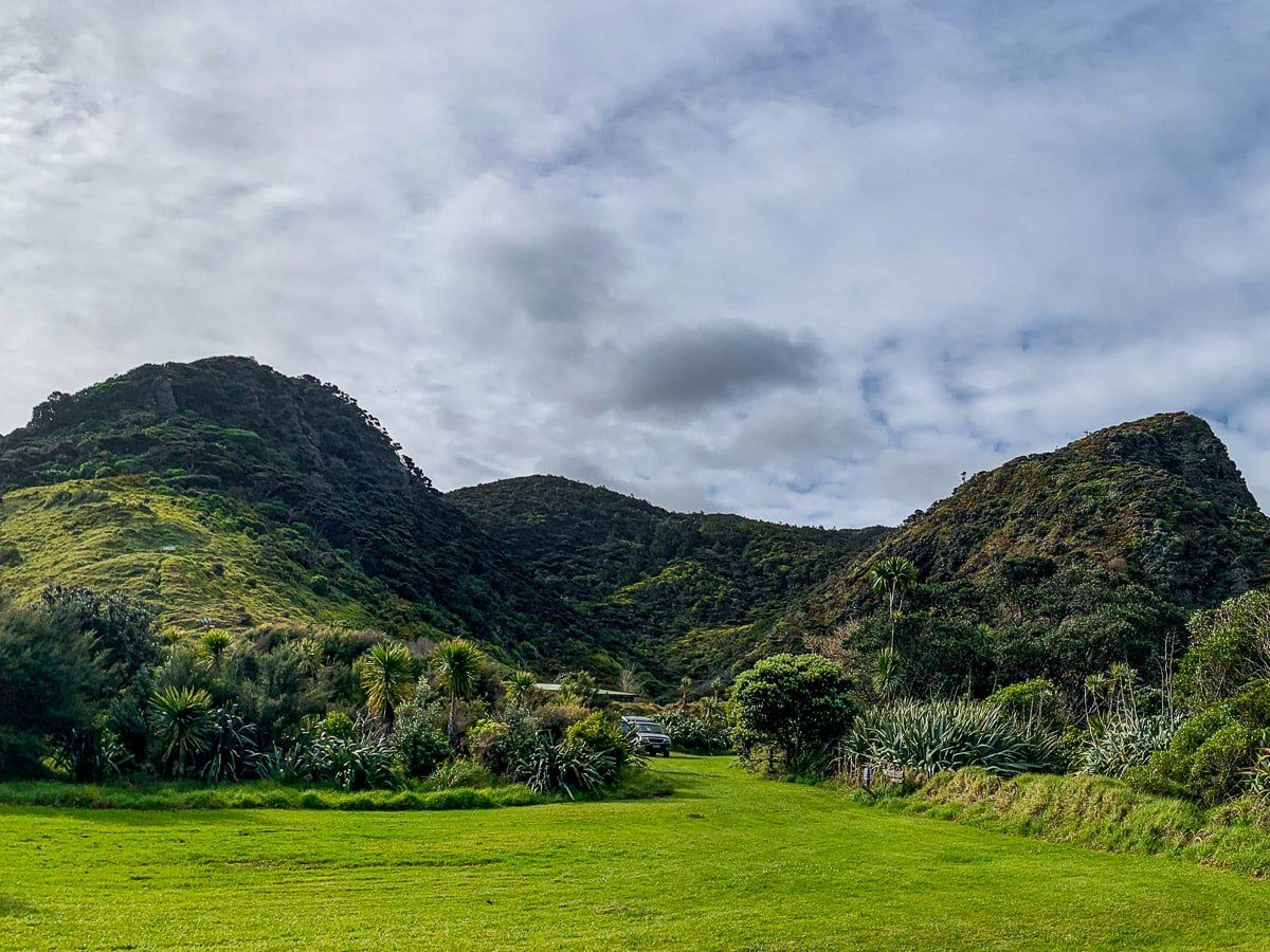
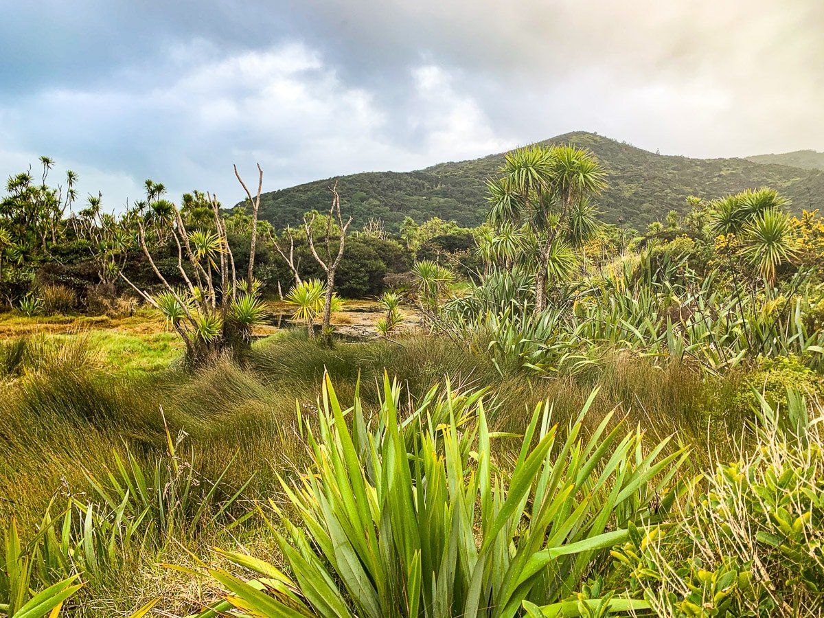
Whatipu is very different to all the other beaches in the region. In the car park you’ll realise that you’re in a large amphitheatre, framed on three sides by ancient volcanic peaks and hills, creating a spectacular panorama.
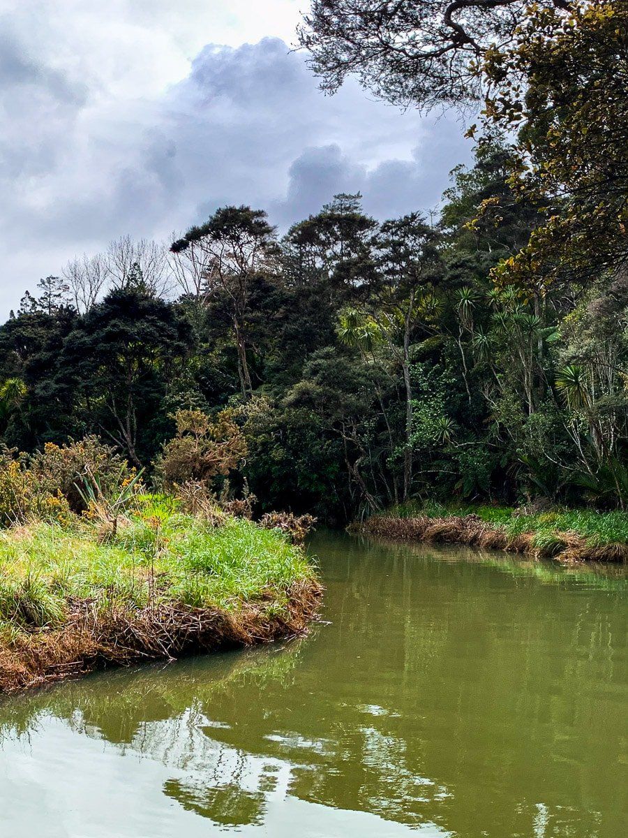
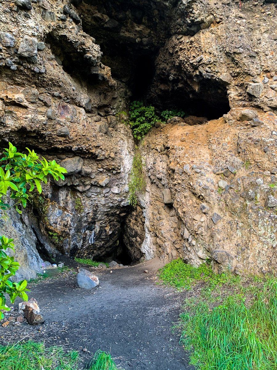
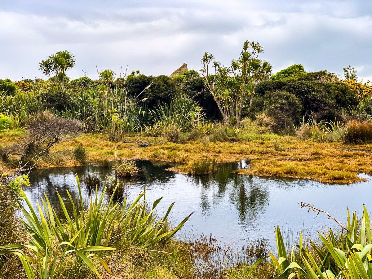
If you walk west from the car park, you’ll find a track near the campground. Follow the track around the edge of the cliffs, and after twenty to thirty minutes you’ll come to the Whatipu Caves. The first few caves are quite small, but there is a larger cavern a bit further on which was apparently once used for formal dances. Keep going and you will find a smaller campsite at the end of the trail. On the south west side of the trail there are extensive lagoons and swamp, an unusual sight in New Zealand. The big lone rock sticking up is Cutter Rock, part of which collapsed some years ago.
Alternatively, head to the beach to the south of the car park. It takes about twenty minutes to reach the beach, and the walk is scenic in its own right, as it passes through regenerating bush and a stream crossing.
Want more Auckland advantures?
Check out our Waitakere Ranges beach blog!