Waitākere Ranges
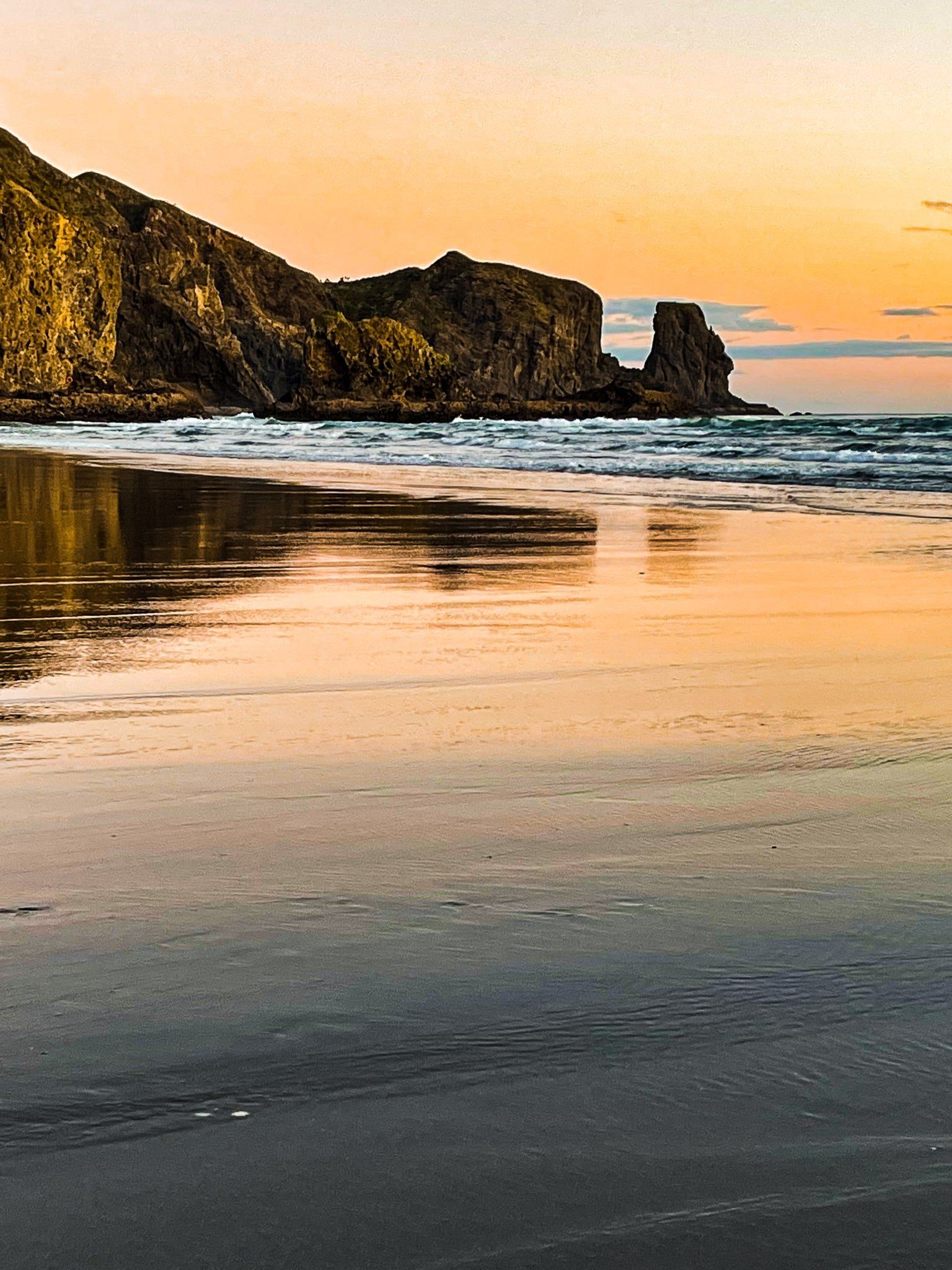
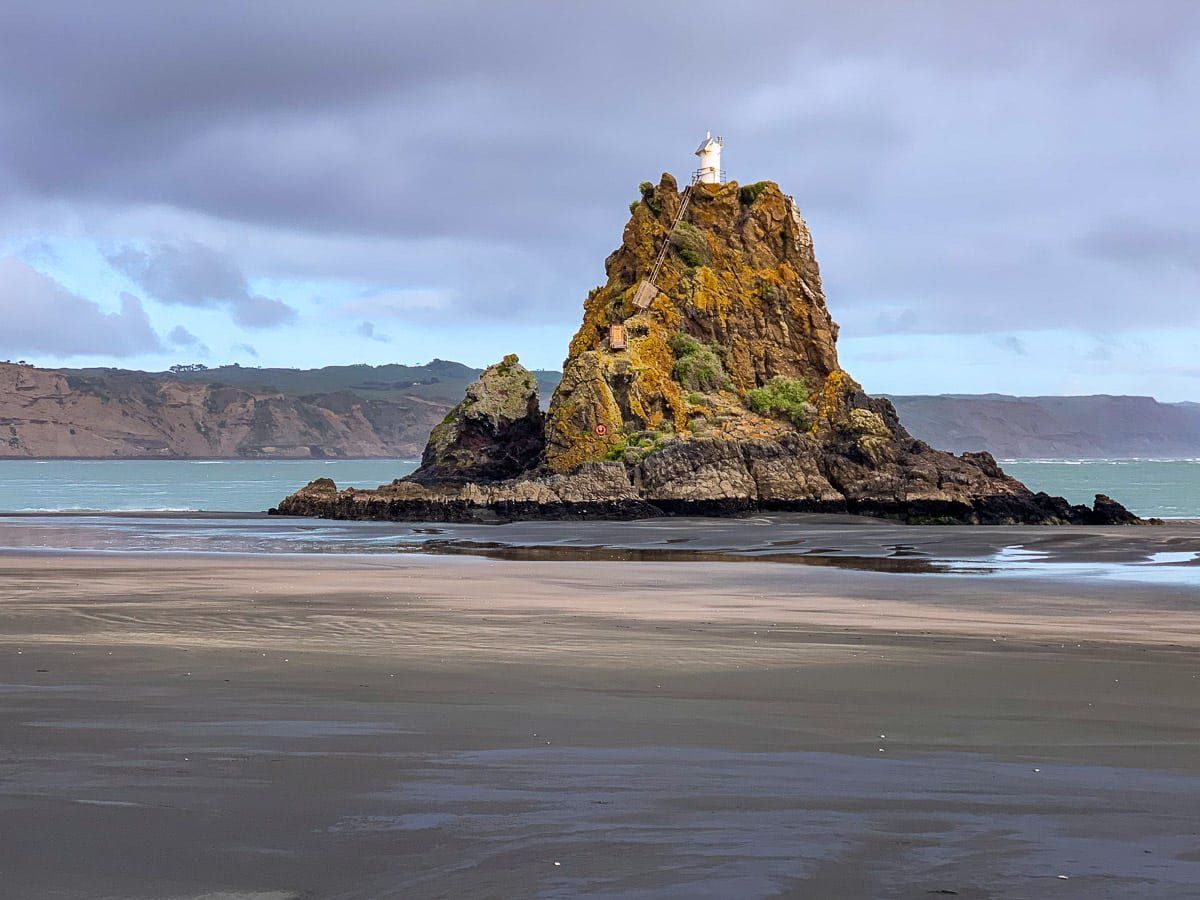
The Waitākere Ranges are a dominant feature of Auckland, located on the northwest side of the city. The Ranges are very rugged, consisting of 20 million year old eroded volcanoes. The coast and valleys were settled by Māori and the surrounding rugged hills were covered in ancient kauri forest. There is evidence of over 50 pā around the Ranges. The most well-known site today is Lion Rock at Piha, the location of Whakaari Pā.
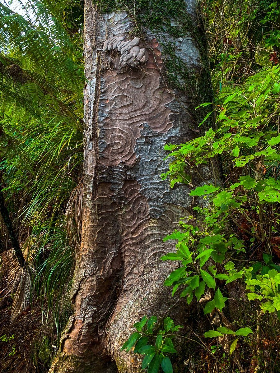
When Europeans arrived en masse in the 1840s/50s, they set about harvesting the ancient kauri forest to build and furnish houses in Auckland. Fortunately, the logged land generally proved too rugged for agriculture, or building. This, and an increasingly intense conservation viewpoint from the early 1900s, led to most of the Ranges being placed in parklands. Eventually these were amalgamated into the Waitākere Ranges Regional Park. The park is the gem amongst Auckland City’s 28 regional parks and the forest is well on the way to recovery.
The ranges run north from Manukau Heads to Muriwai on the west coast (Tasman Sea), a distance of about 35 km. The east side of the Ranges is a rough line from Titirangi to Waitākere township. The high point is Te Toiokawharu at 474 metres in the south. The north end is lower at 200 metres or so. The total area is over 30,000 hectares.
The city describes a smaller area as the “Waitakere Ranges Heritage Area”. This stops south of Muriwai in Waitākere Valley, and is 27,720 hectares. Most of it is within the park and forested, but there are some small coastal communities and the odd farm.
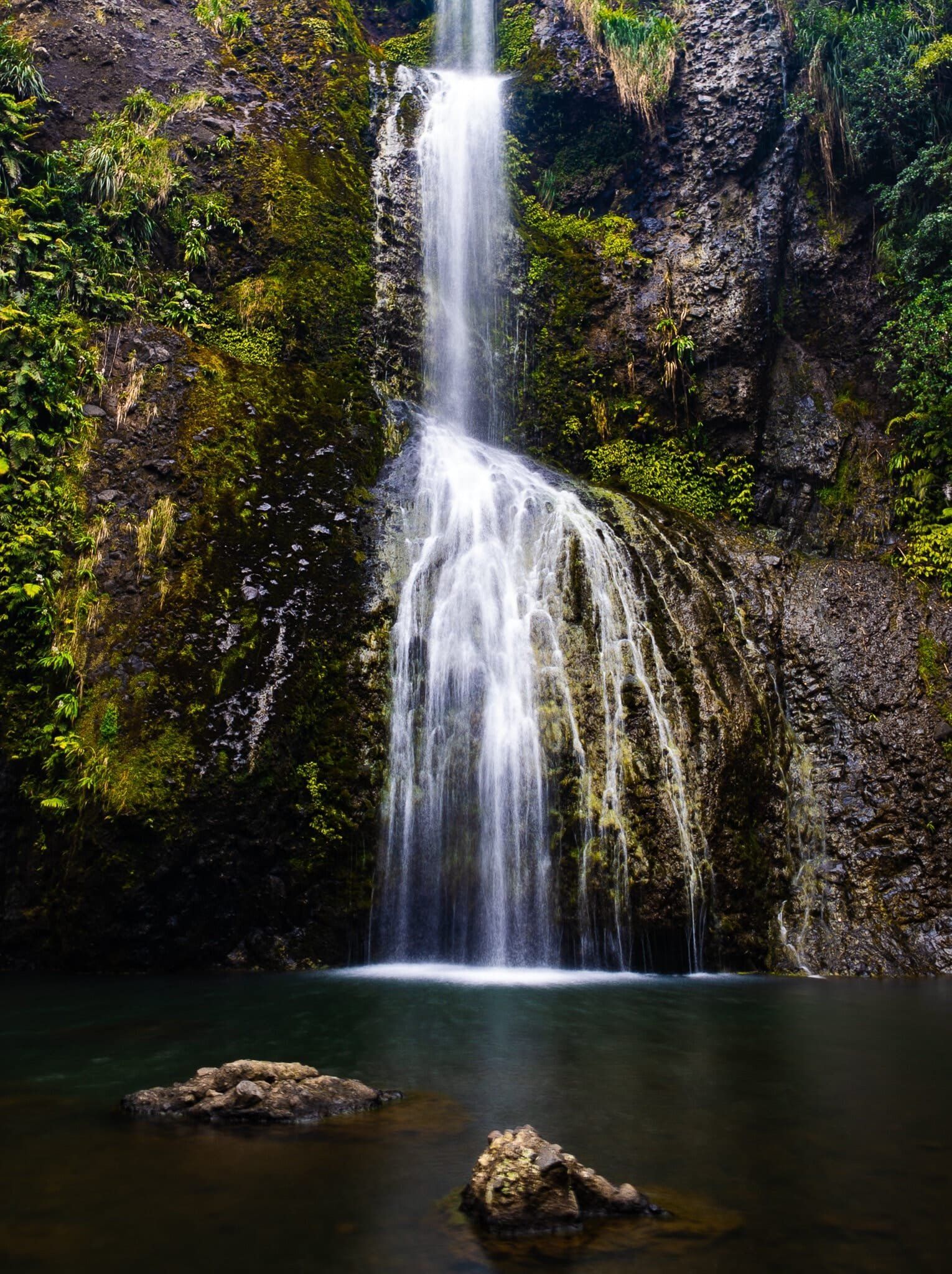
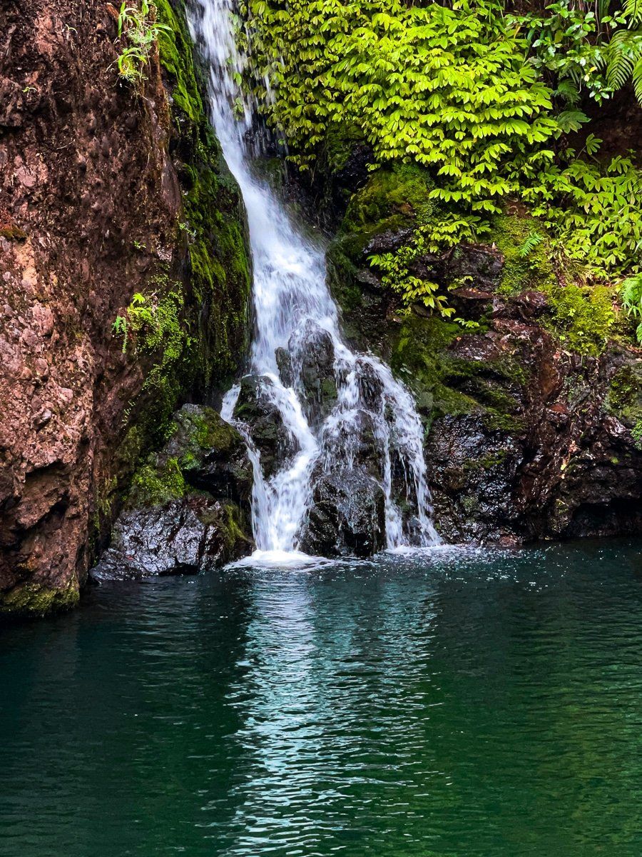
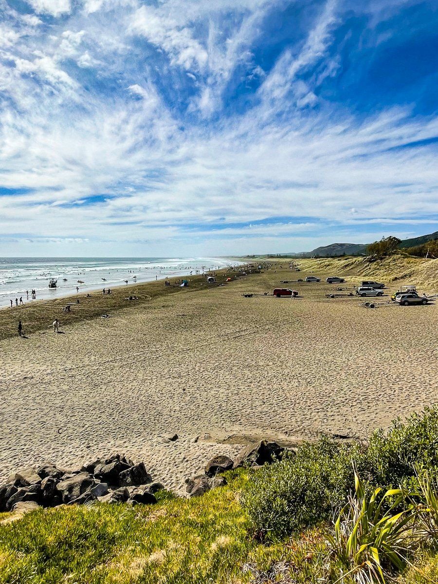
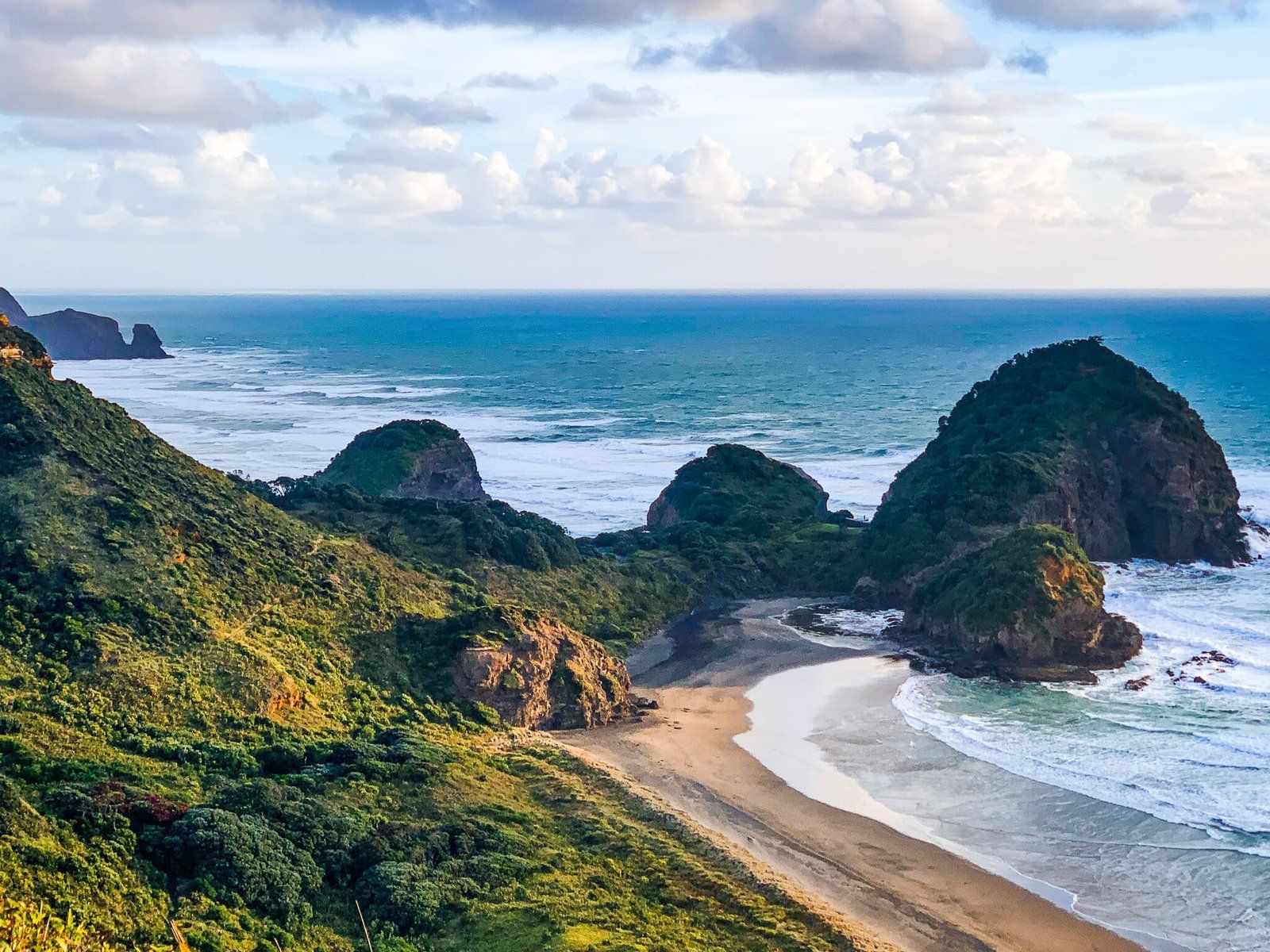
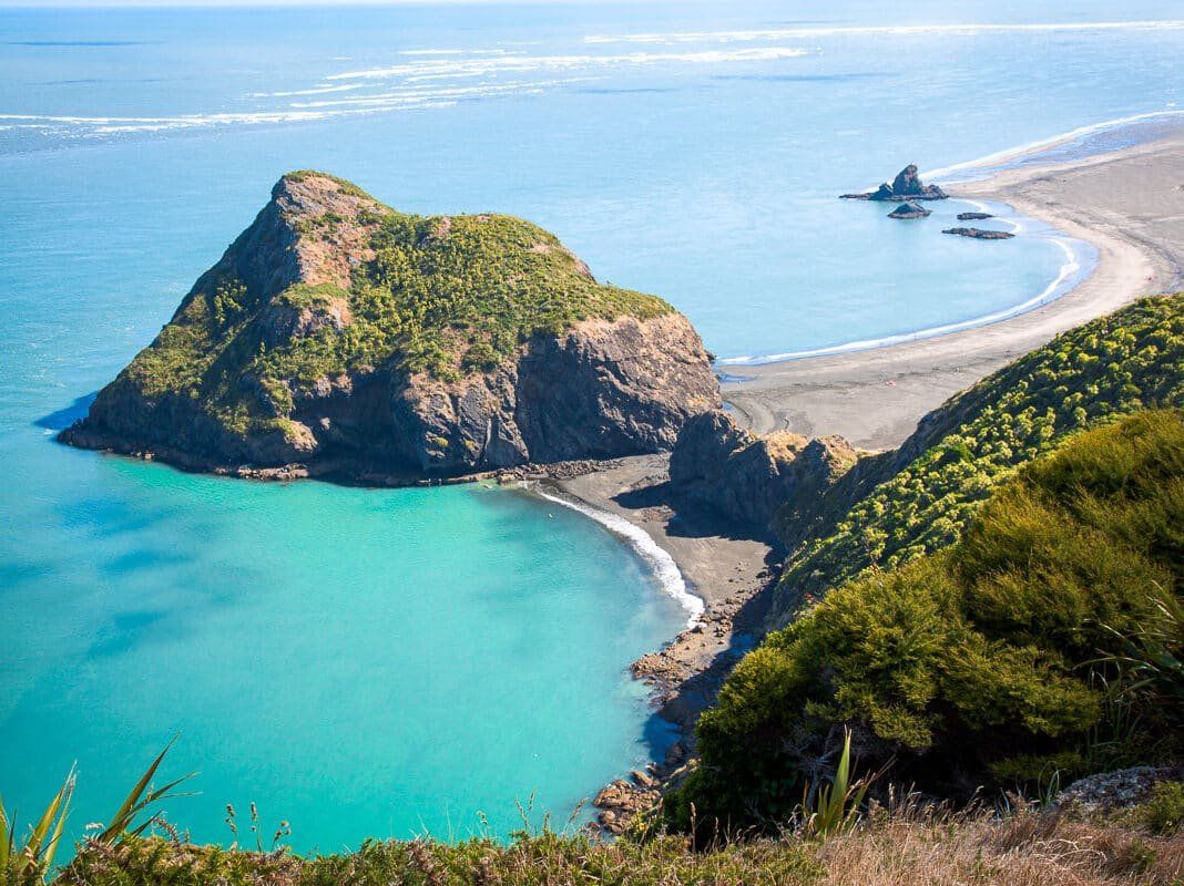
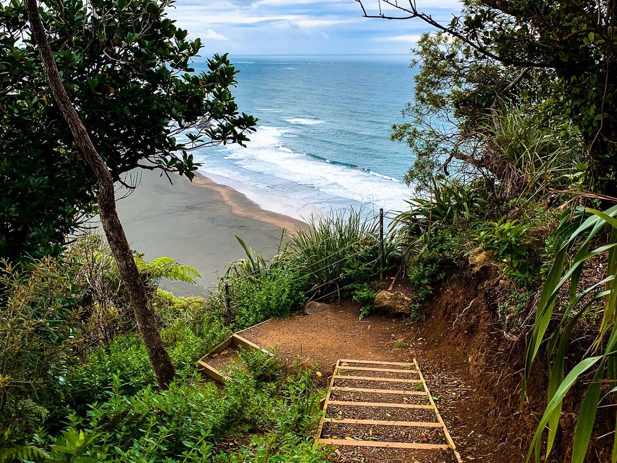
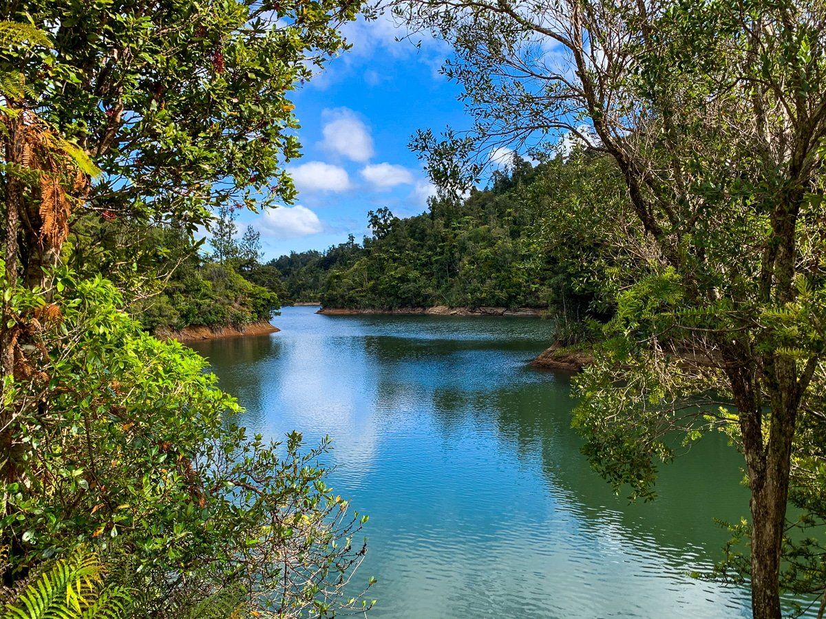
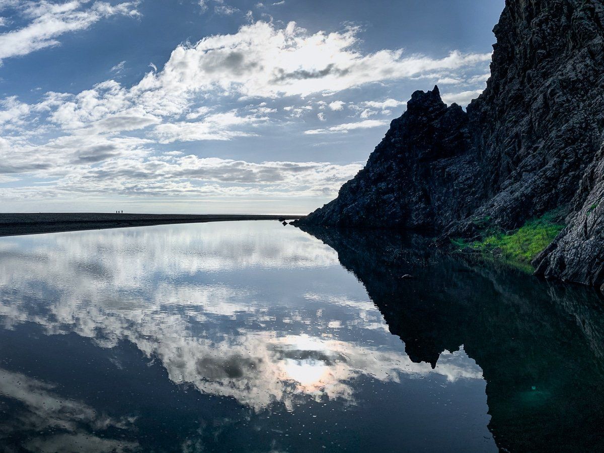
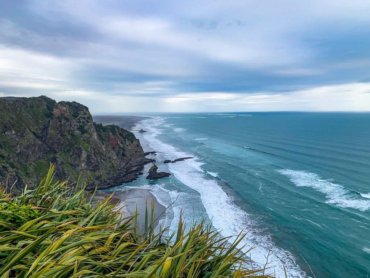
The main features of the Ranges are the black sand west coast surf beaches, recovering forests, streams and waterfalls, and superb walking trails. The Ranges also have several accessible reservoirs that form part of the city water supply.
The main road through the ranges is the Scenic Drive. It starts in Titirangi and heads northwest to Waitākere township, following the eastern ridge of the ranges. Scenic Drive can also be accessed from Forest Hill Road, West Coast Road from Oratia and Mountain Road from Henderson Valley.
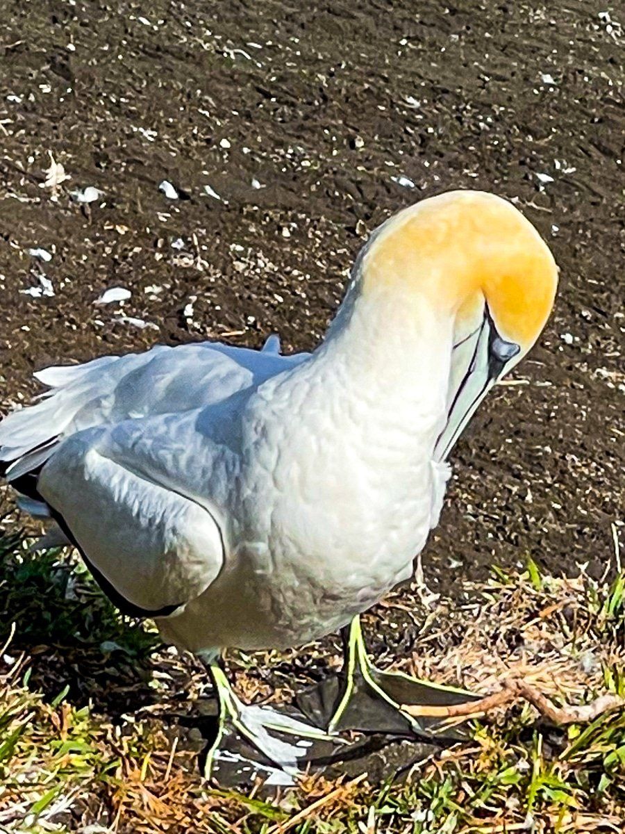
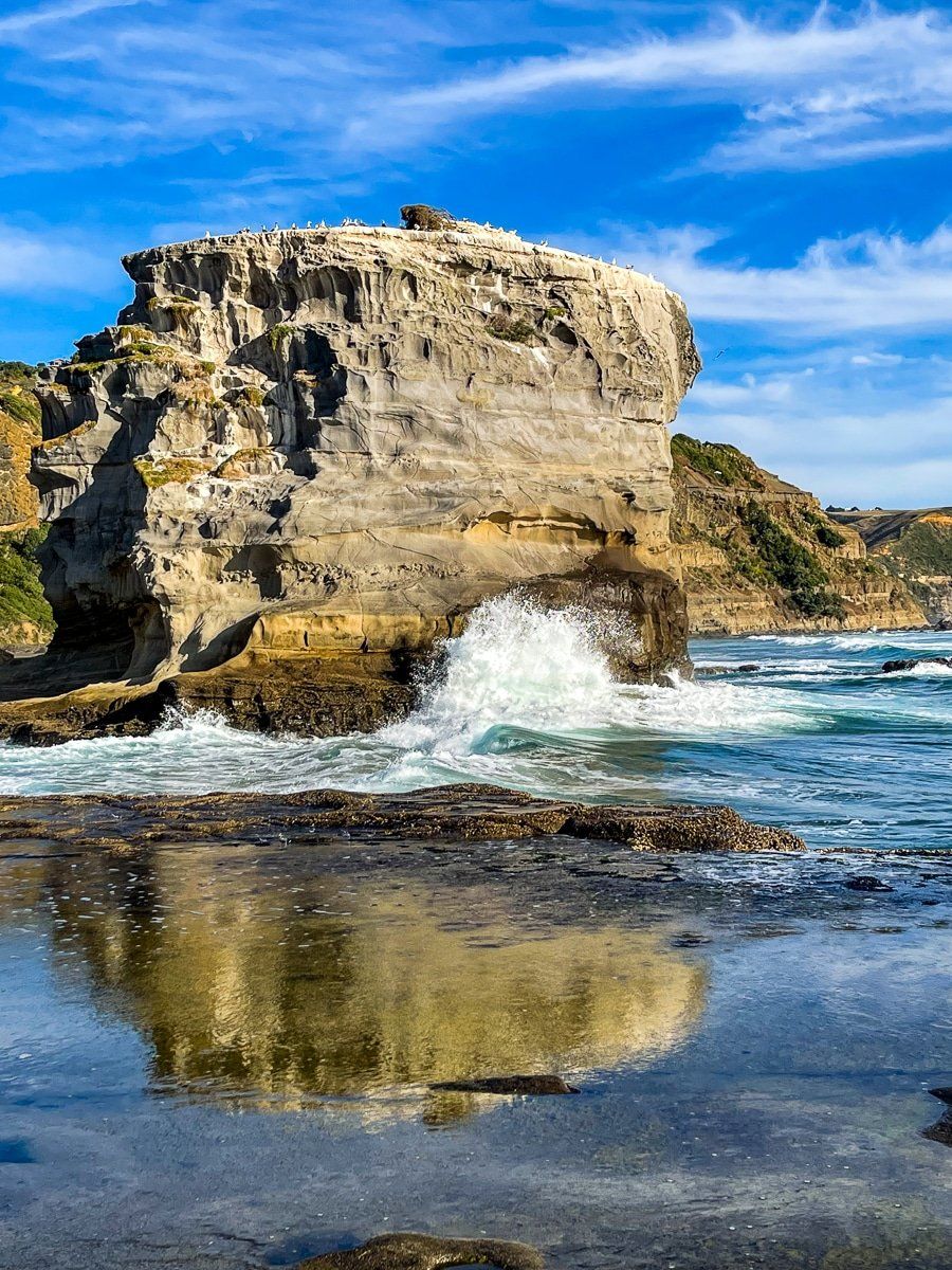
There are four main west coast surf beaches with road access through the regional park. From south to north, these are Whatipū, accessible from Titirangi on Huia Road then Whatipū Road, and Karekare, Piha and Te Henga Bethells Beach, accessed from Scenic Drive. At the north end of the ranges is Muriwai with its unique gannet colony, accessed via Kumeu. There are several other west coast beaches that can be reached by foot from the main beaches or by walking track. More sedate beaches can also be found off Huia Road on the north edge of the Manukau Harbour.
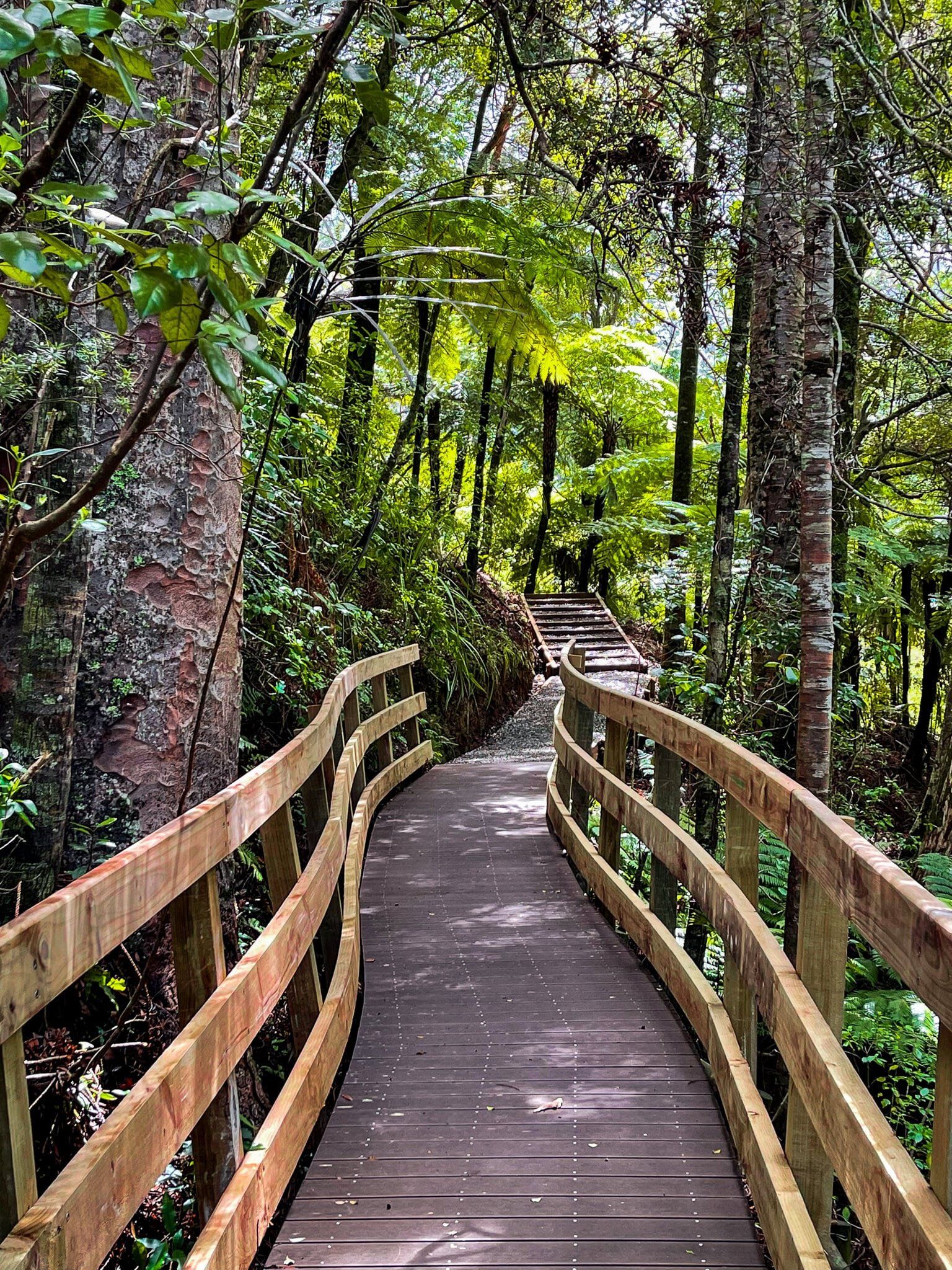
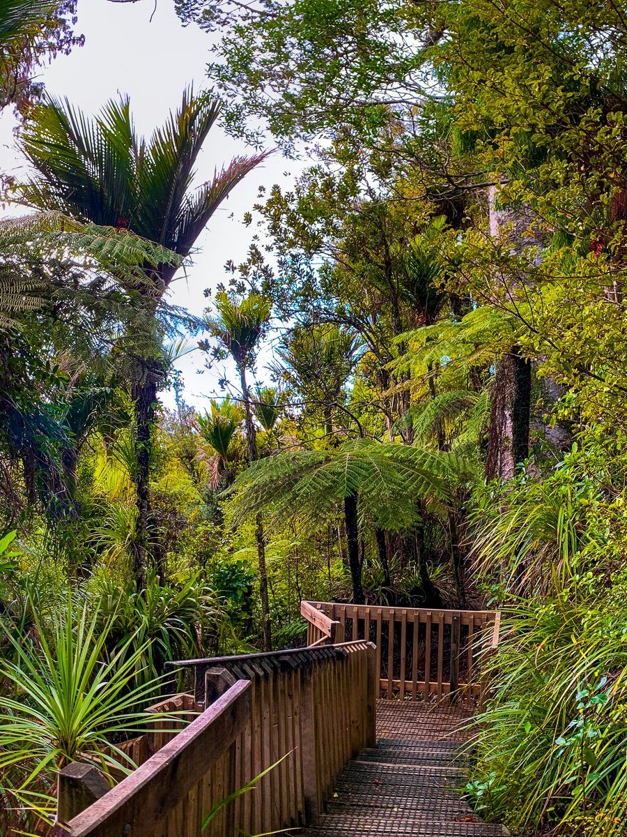
The track network is fabulous and the one long-term benefit of the intensive kauri logging. Almost all the tracks were closed in the 2010s due to kauri dieback disease but many of the best have been upgraded to protect kauri trees and reopened. Our top recommendations include Omanawanui, Karamatura, Mercer Bay Loop and Comans Track, and Te Henga Walkway (south end) on the coast. Karamatura and Kitekite Falls are best for forests and waterfalls.
Best reservoir walks are Waitākere Reservoir from the north end of Scenic Drive and Upper Nihotupu from Piha Road. The best walk to see more mature kauri are the easy Nature Trails from Arataki Visitor Centre on Scenic Drive.
The more time you spend in the area, the more you will discover! Check out the links throughout this page for many more Waitākere options.