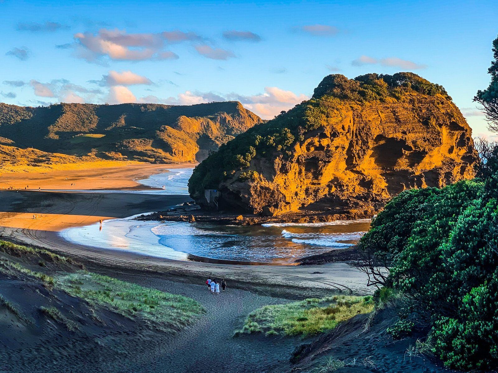
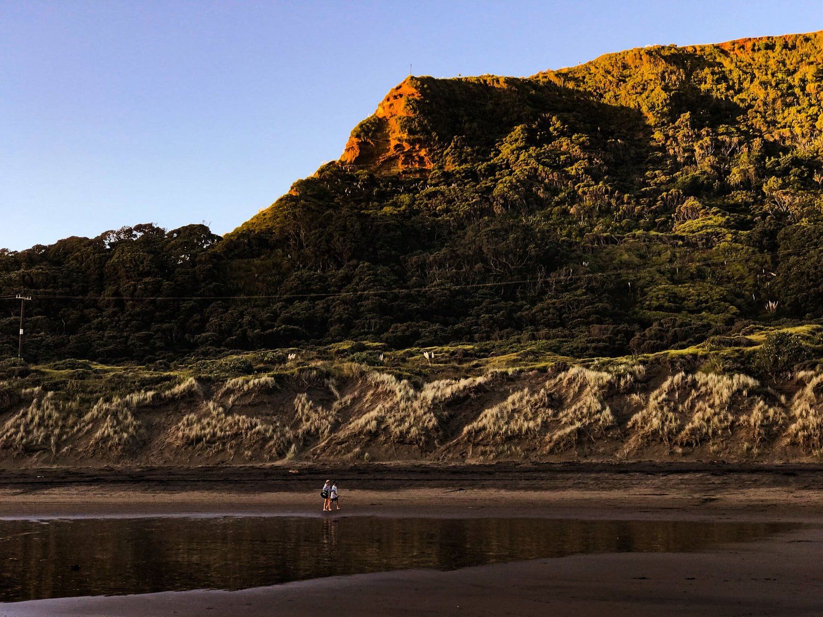
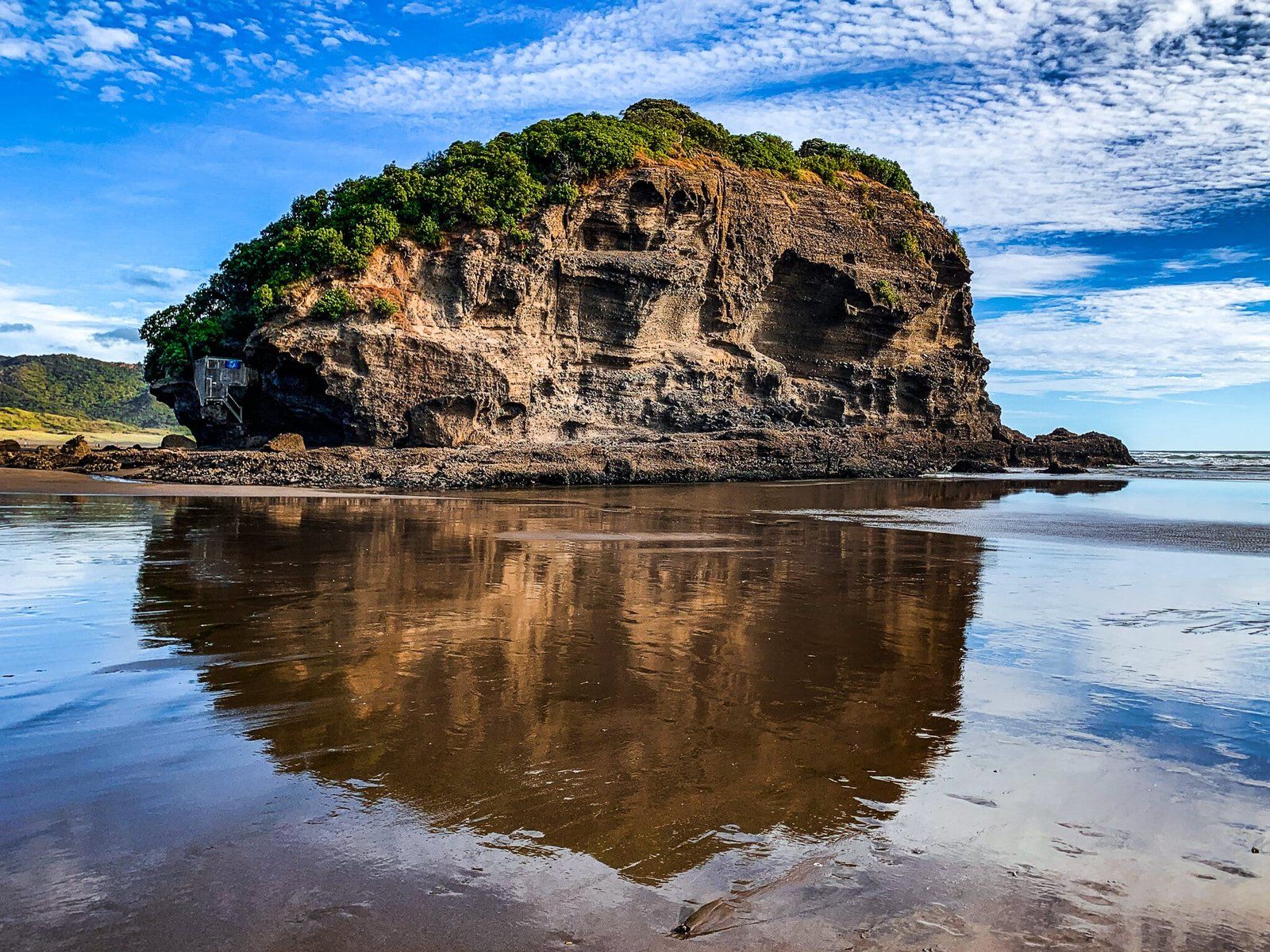
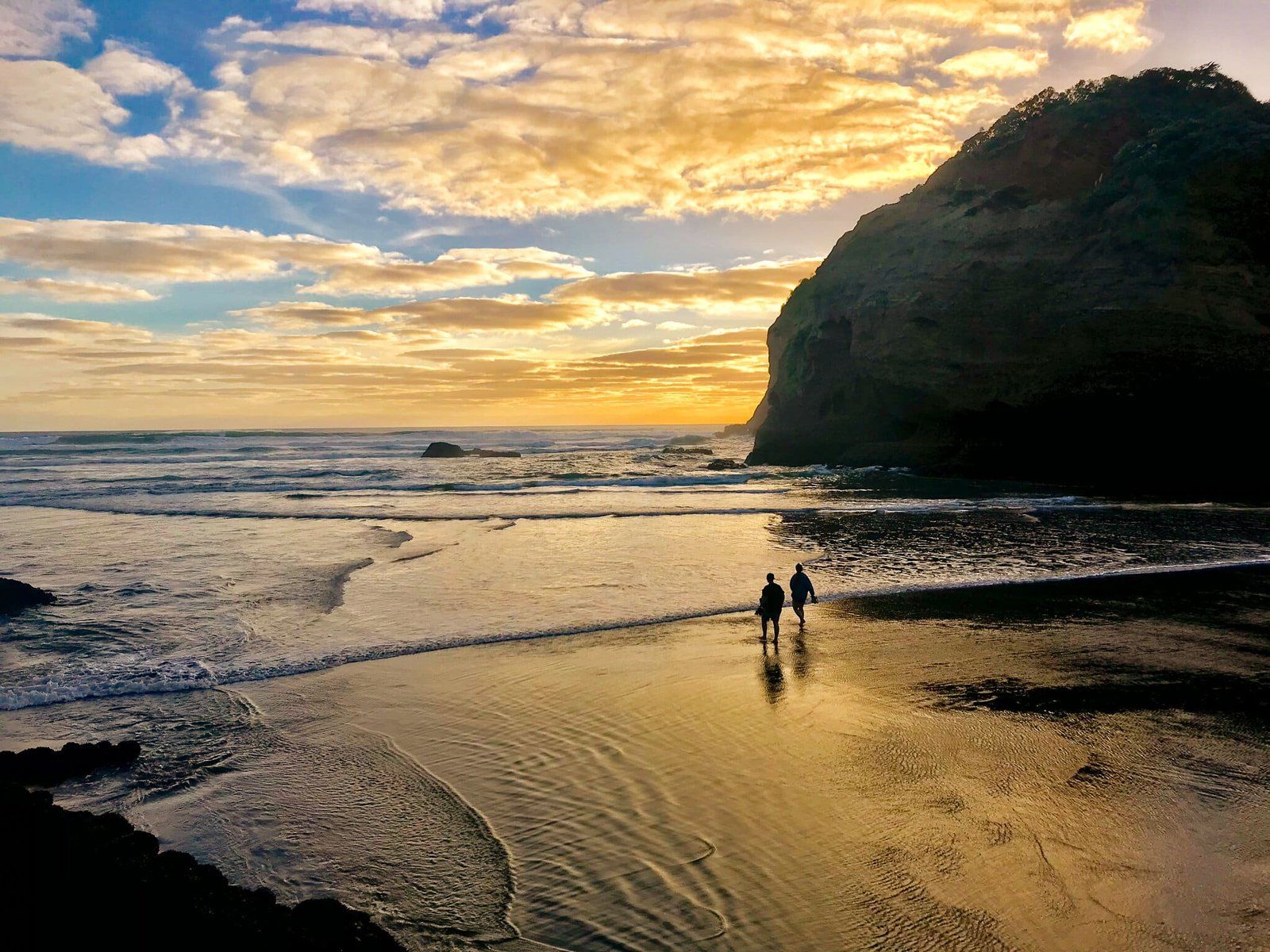
Heading north over the Waitākere River from Bethells Te Henga takes you between conical Ihumoana Island (which is actually connected to the beach at low tide) and Taumaiti (the cliff to the east) into small Waitākere Bay.
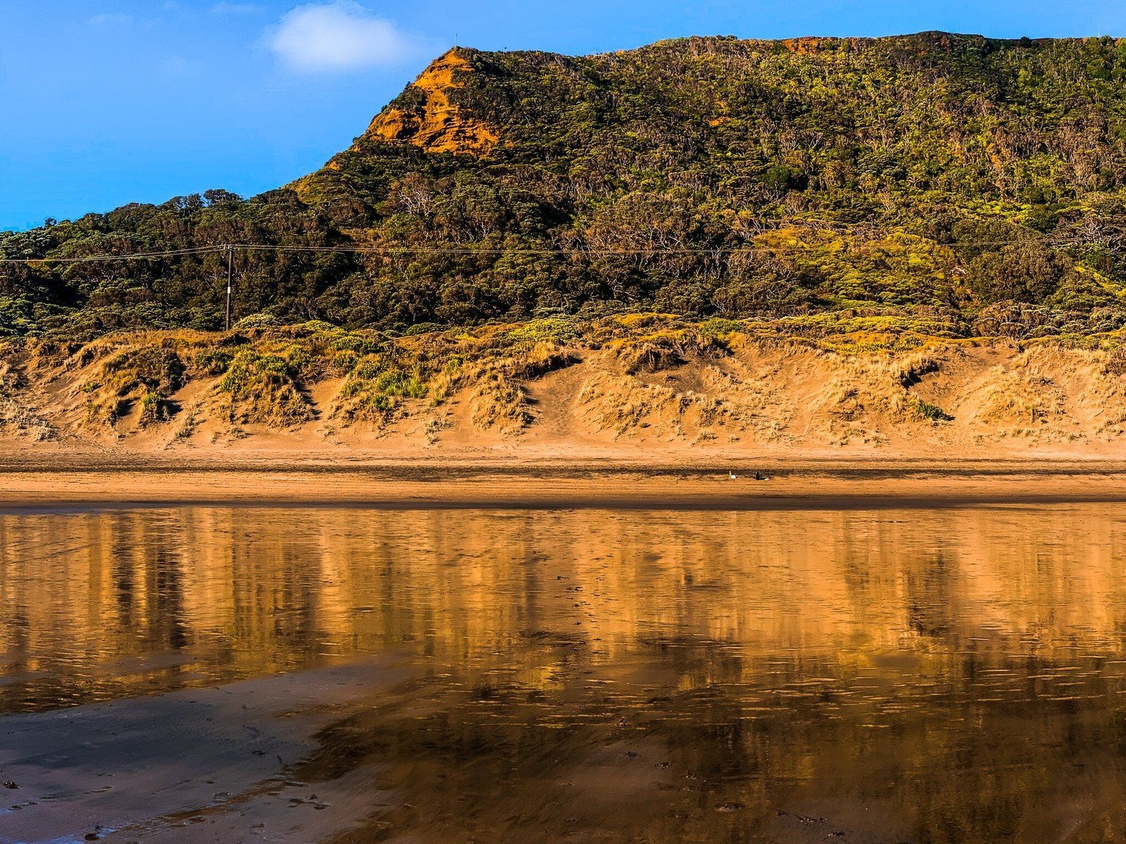
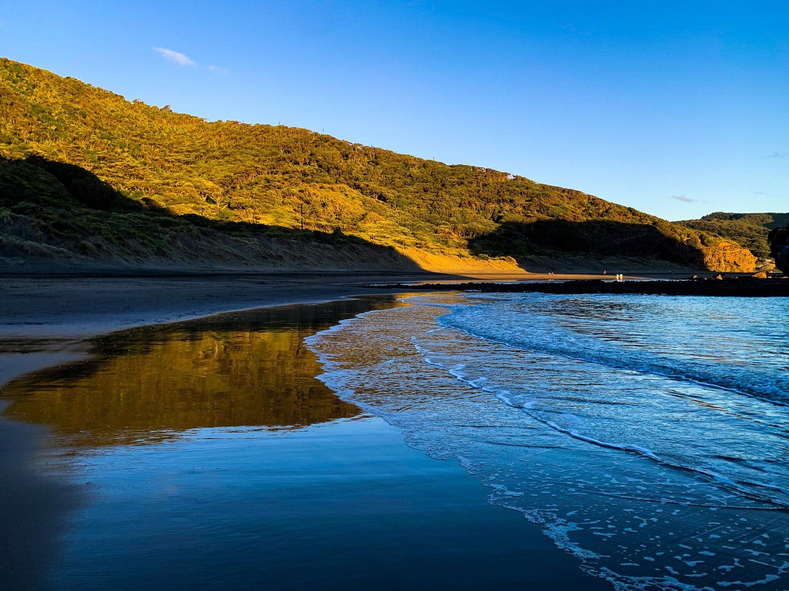
Kotau Point marks the north end of the bay. Erangi Point is bigger than Kotau and sits just behind Kotau Point, both of which also have conical shapes. The two points are linked to the mainland by a high sand dune, and crossing this takes you to O’Neill Bay.
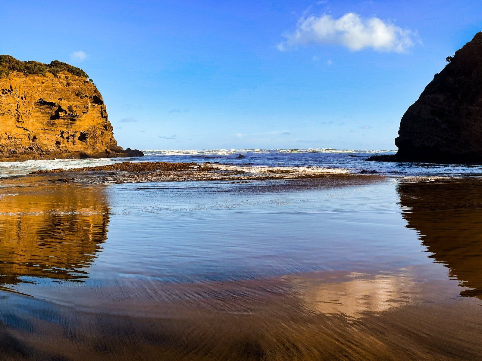
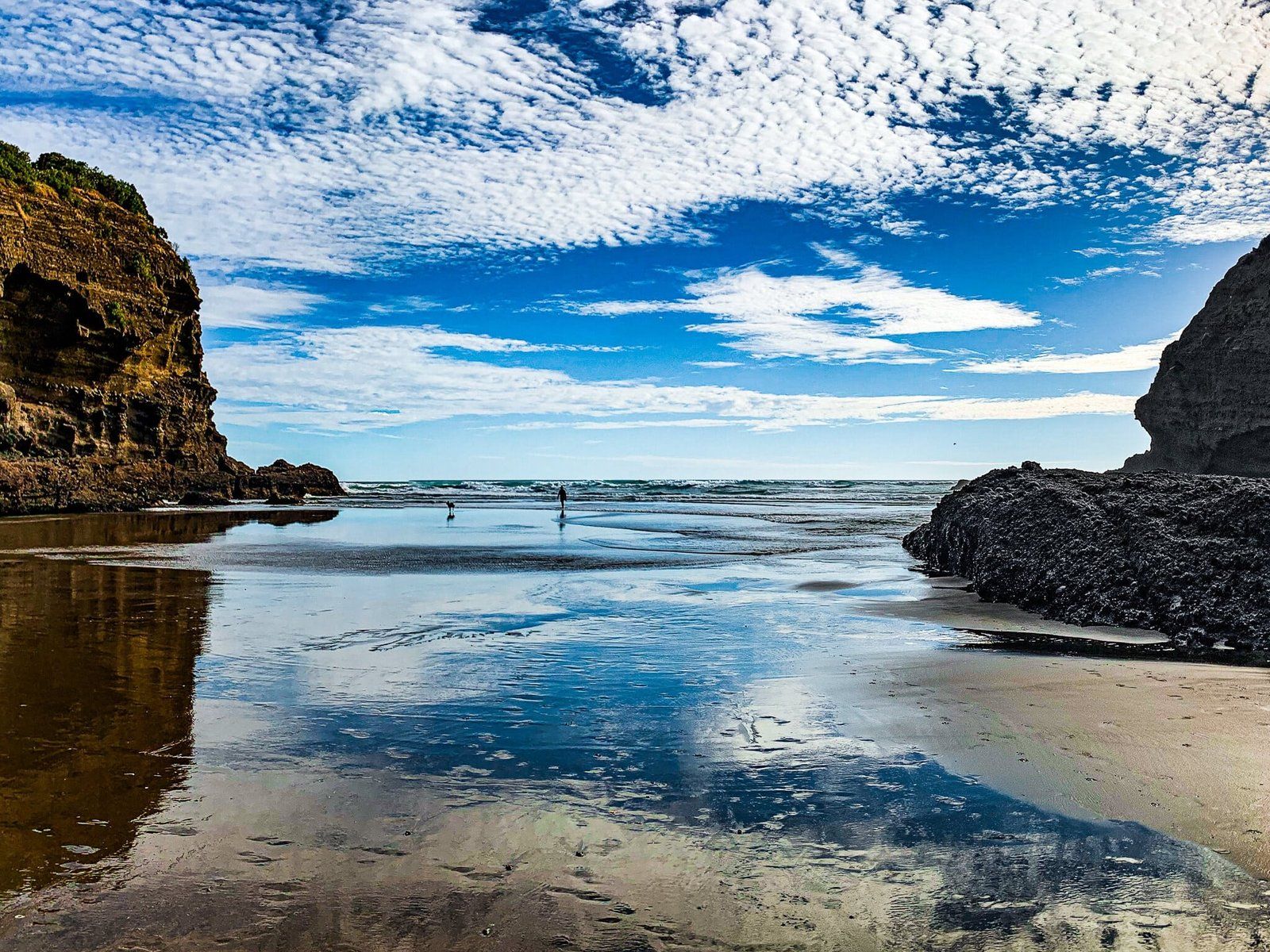
The island is a bird sanctuary, and there is no access. But you can scramble onto the top of Kotau Point from the dune that rises behind it. Access to Erangi Point is restricted by private property. However, the most interesting features of the bay are the natural tunnels under Kotau, which are accessible from the northmost end of the bay at low tide.