If you have driven along the Taieri Plain on State Highway 1, you may have noticed the high hills to the west. The high point, Maungatua (at 895 metres), is roughly in the middle. Behind this ridgeline lies the largely empty and mostly dry highlands of Central Otago.
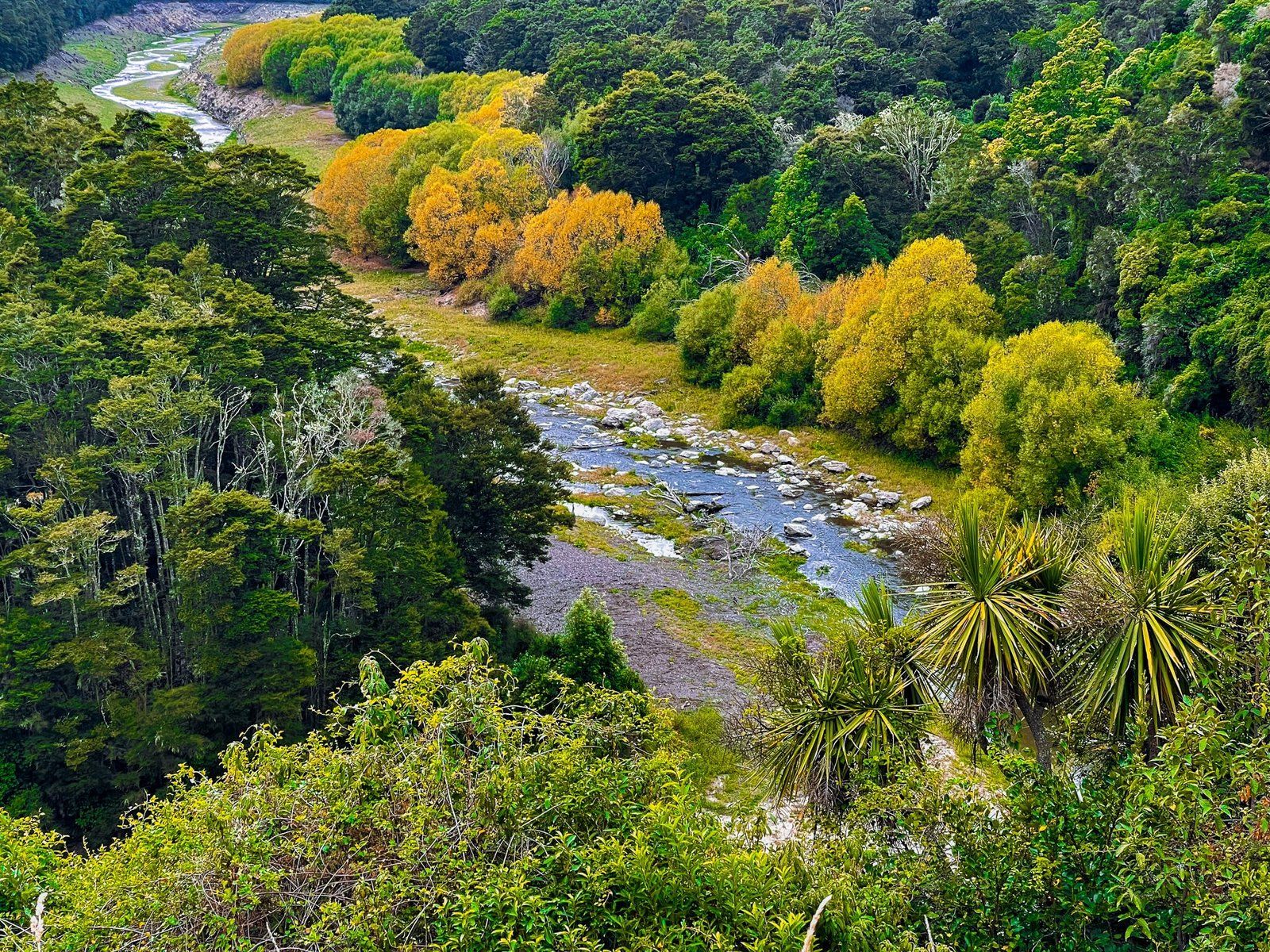
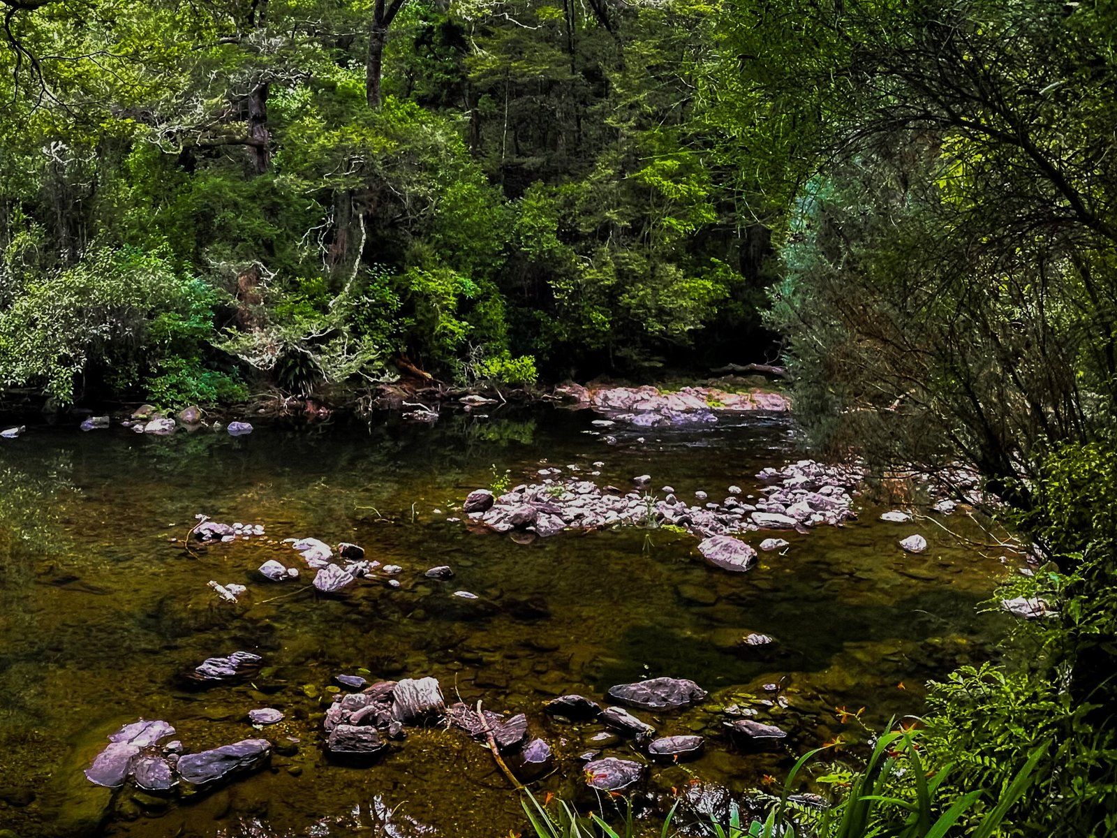
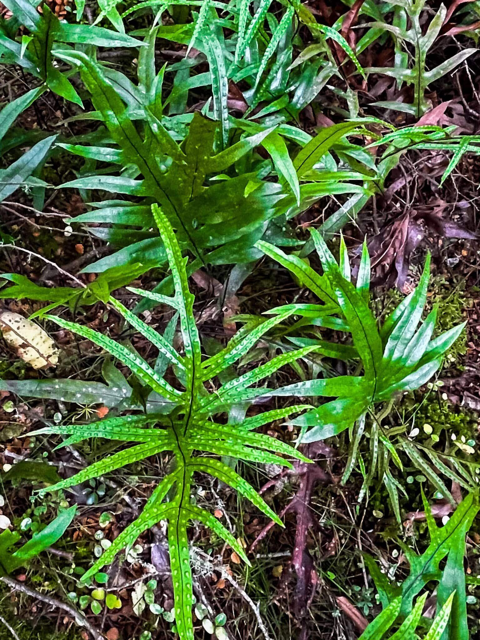
You can drive into the region from Berwick along Waipori Falls Road. This scenic but windy and often narrow metal road follows the Waipori River to the hamlet of Waipori Falls. It is also a relatively undisturbed section of native beech forest and not so common in this part of NZ.
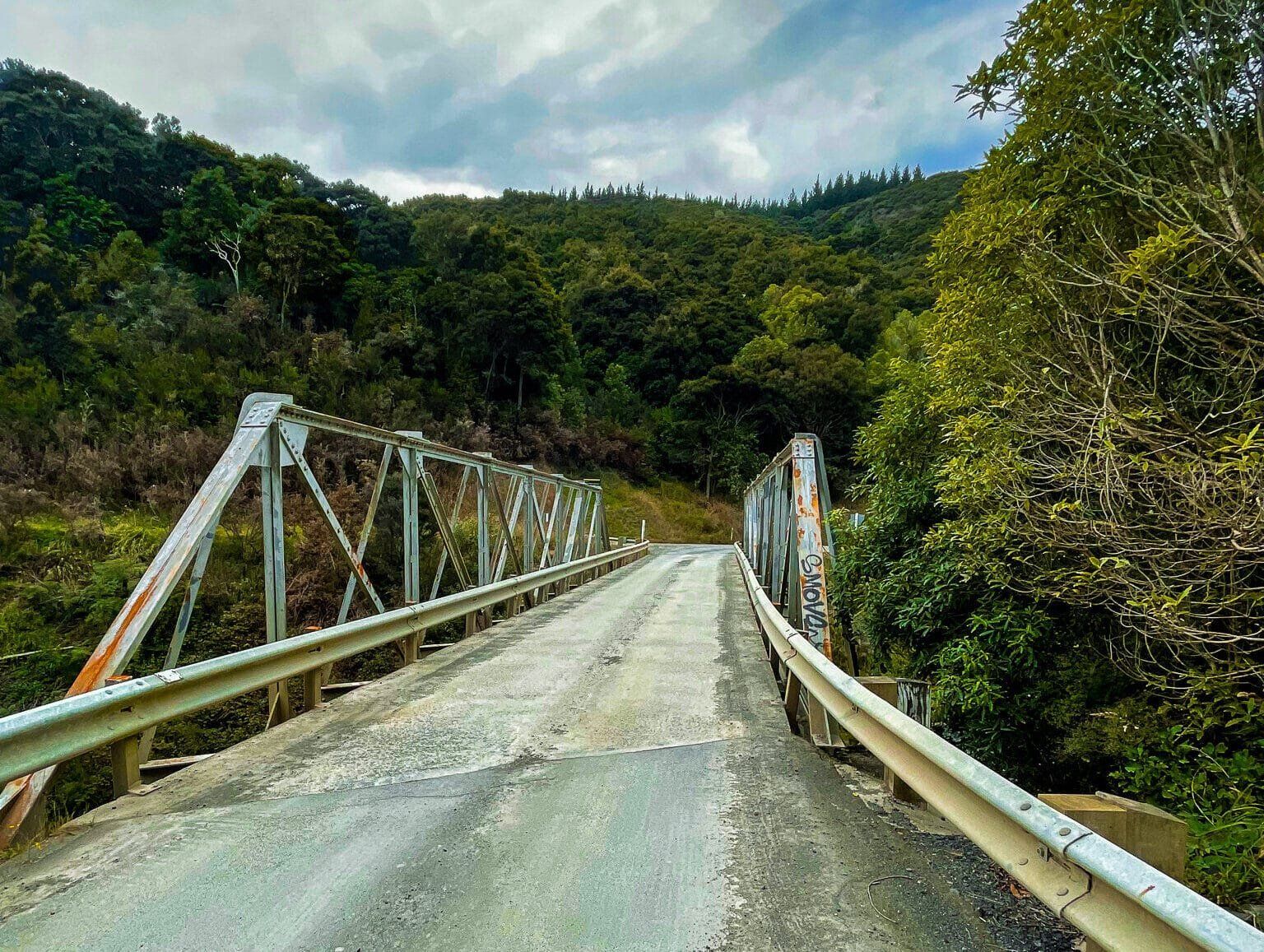
There are several unmarked stopping points with access to the river, so keep an eye out. At times, the road rises high above the river gorge with good viewpoints. The river supports a power generation scheme, with access points to power stations, including at Waipori Falls.
Beyond Waipori Falls, the road continues to Lake Mahinerangi. This hydro lake was created in the early 1900s to support the Waipori River power scheme. This section of the road is less interesting. It passes through a large area of commercial plantation forest until it opens out into more attractive high-rolling hills above the lake.
From Lake Mahinerangi, you can head northeast to State Highway 87 and Middlemarch or southwest to Lawrence and State Highway 8.