The Waikato River is the dominant feature of the Waikato region in the North Island and is the longest river in Aotearoa New Zealand. It runs for 425 km from Lake Taupō in the centre of the North Island to Port Waikato on the northwest coast of the region.
Waikato is Māori for flowing water. The River has spiritual meaning for various Māori iwi, including Tainui, who were the main victims of the government invasion of the Waikato in the 1860s. The first stage of the invasion focussed on dominating the strategic river with several points of conflict between Taupiri and Ngāruawāhia. In their 2008 settlement, the government agreed to joint management of the River between Tainui and the Waikato Regional Council.
Over millennia, the River has wandered over the Waikato region. At times, it has crossed the Hauraki Plain and exited the region in the Firth of Thames on the northeast side. State Highway 29 passes through the Hinerua Gap, with cliffs on either side of a wide valley, marking an ancient route to the plains. The present route was formed about 17,000 years ago when a natural dam formed by earlier volcanic eruptions at the north end of Lake Taupō collapsed.
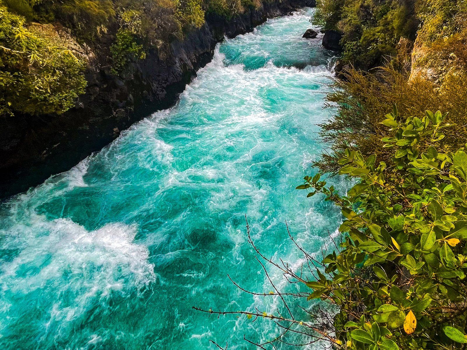
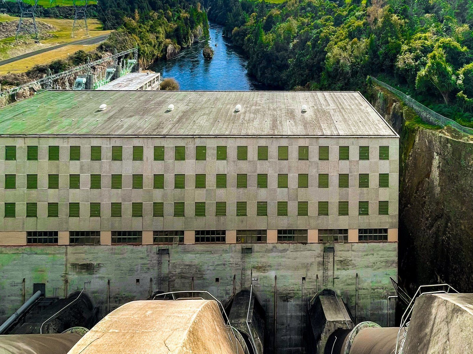
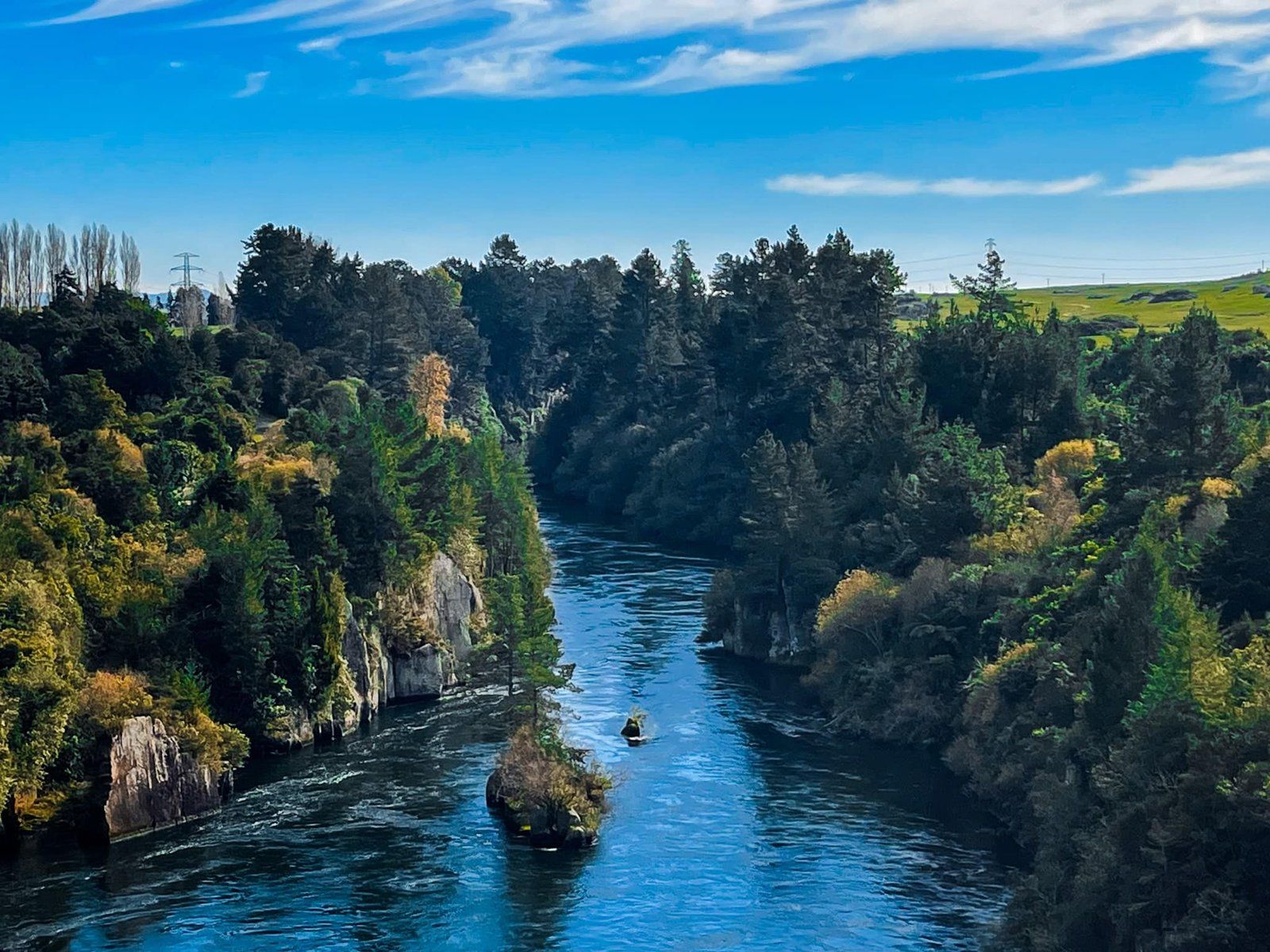
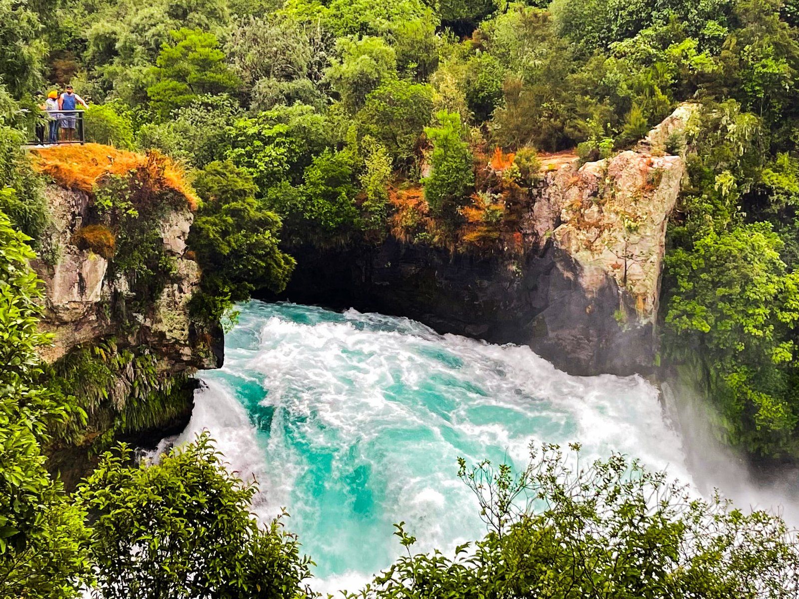
After the River leaves Taupō from Tapuaeharuru Bay, it flows past the geothermal complex at Wairakei and then over the spectacular Huka Falls. From there, it enters the first of eight man-made hydro lakes at Aratiatia. This dam removed the flow over the stunning Aratiatia Rapids. But several times a day water is released over the rapids so you can see what it once looked like. Further east is the Ngaawapurua Rapids, which can be viewed from Nga Awa Purua Road on the south side of the River, accessed from Aratiatia. Heading north, the next attraction on the river is the Orakei Korako thermal area. After this, there is a series of seven dams and hydro lakes from Lake Ohakuri to Lake Karapiro.
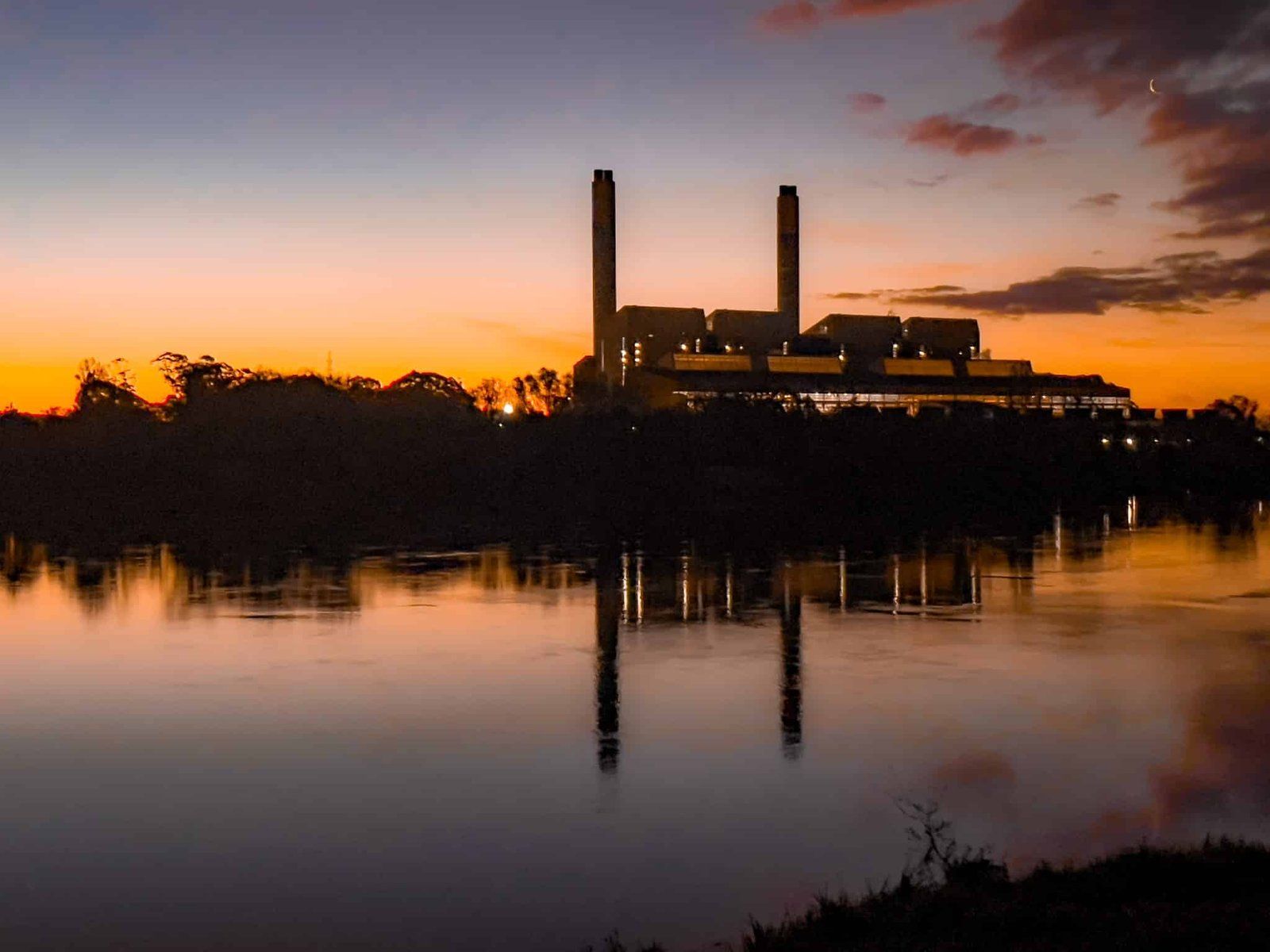
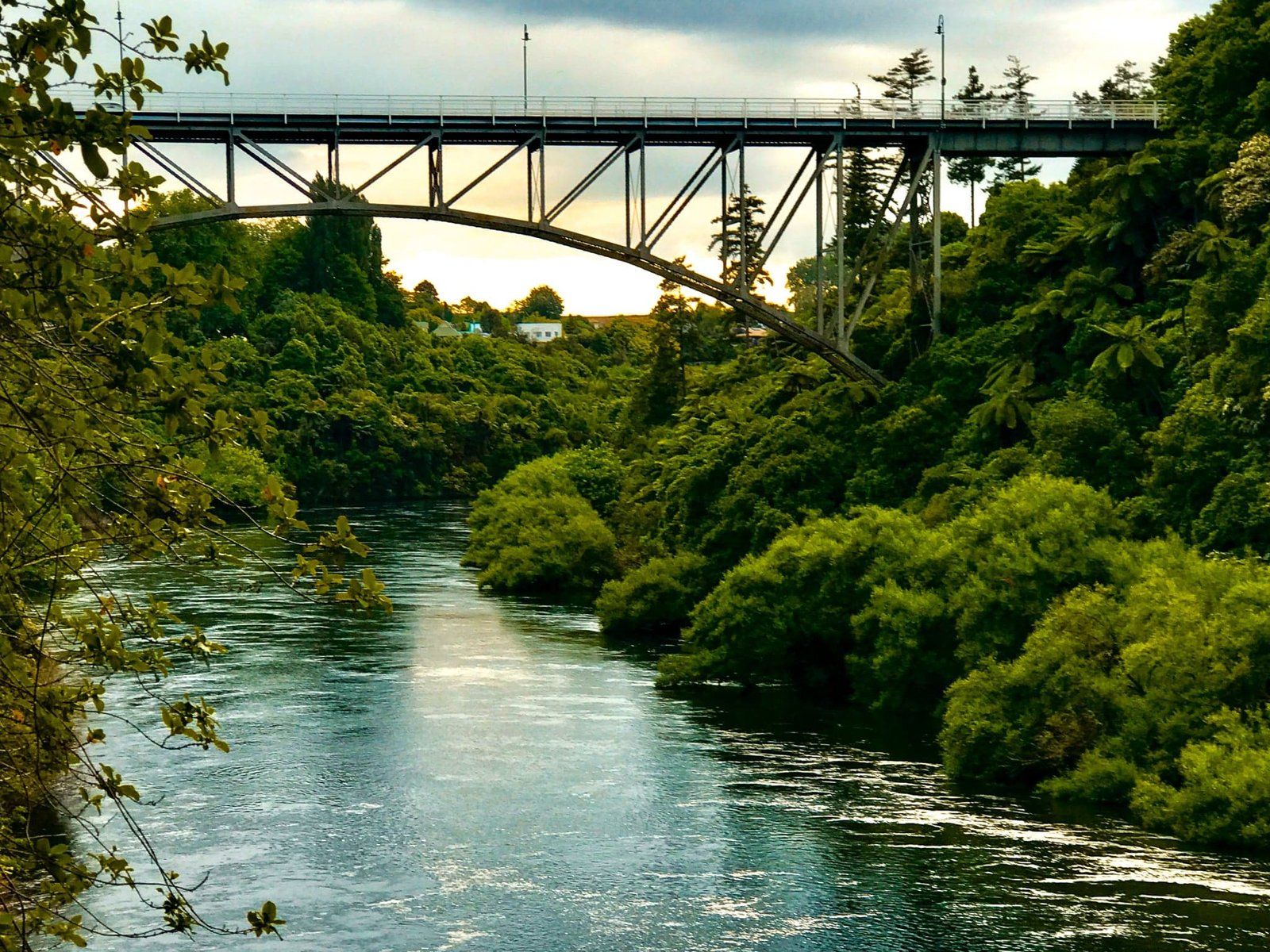
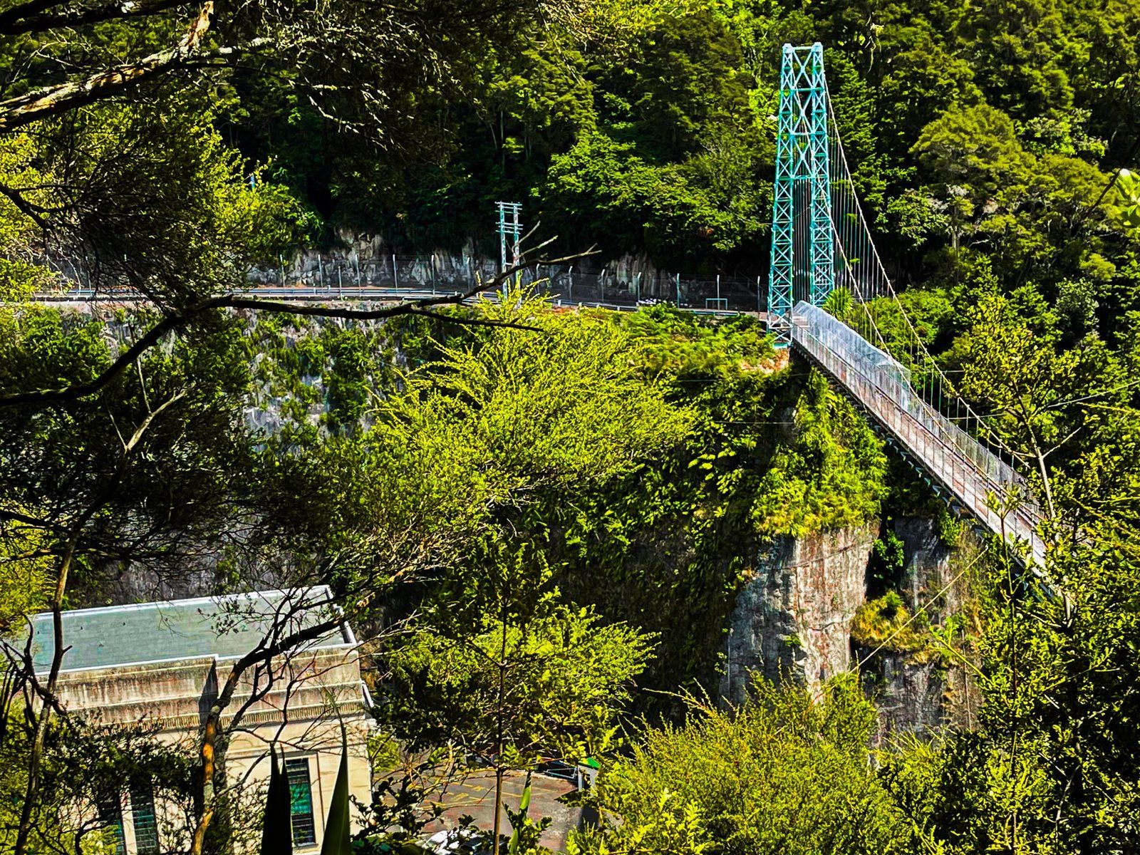
The hydropower system from Aratiatia to Lake Karapiro was developed between 1929 and 1971 and supports nine power stations. These lakes prevent continuous river trips until after Karapiro but support various recreational activities. There are campsites and boat access, while Lake Karapiro near Cambridge is the home of NZ Rowing. At Arapuni, there is one of the most spectacular swing bridges in the country.
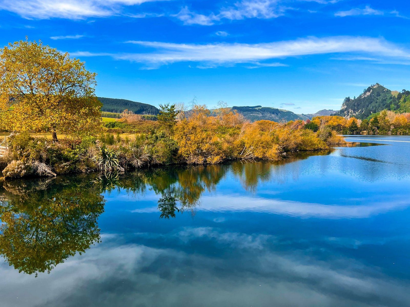
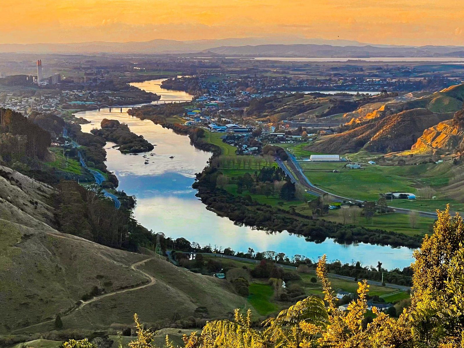
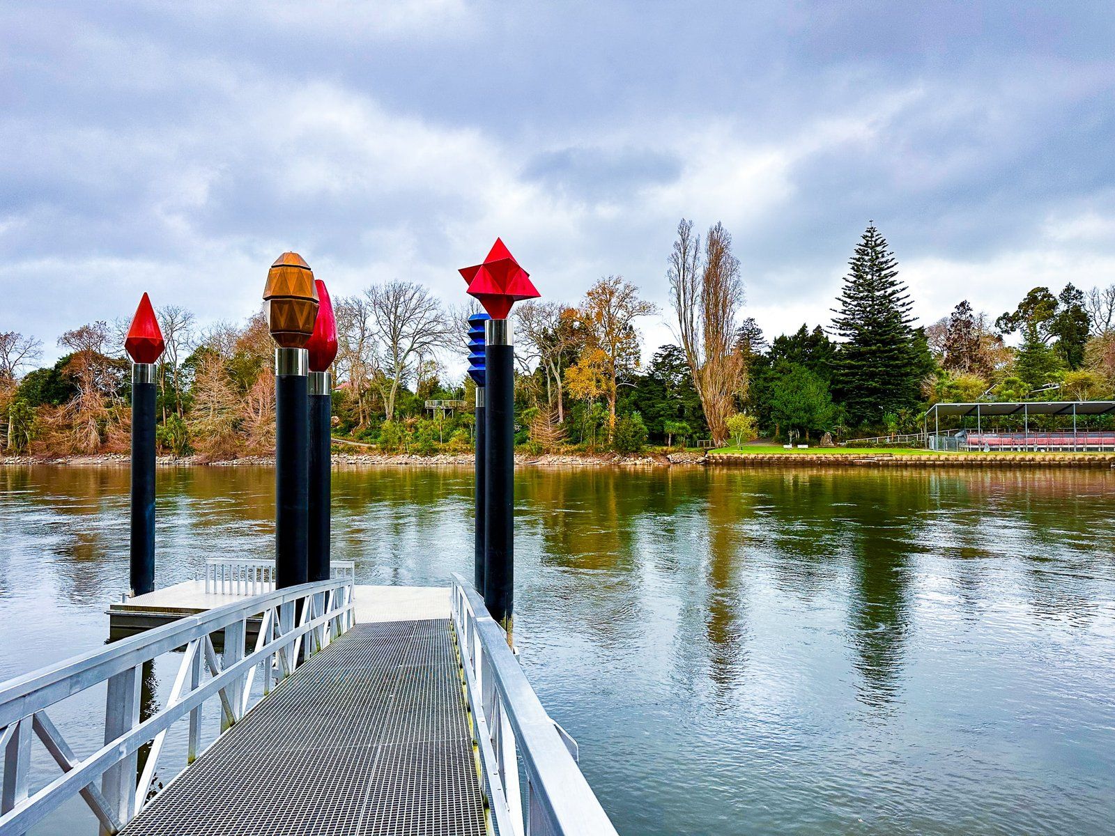
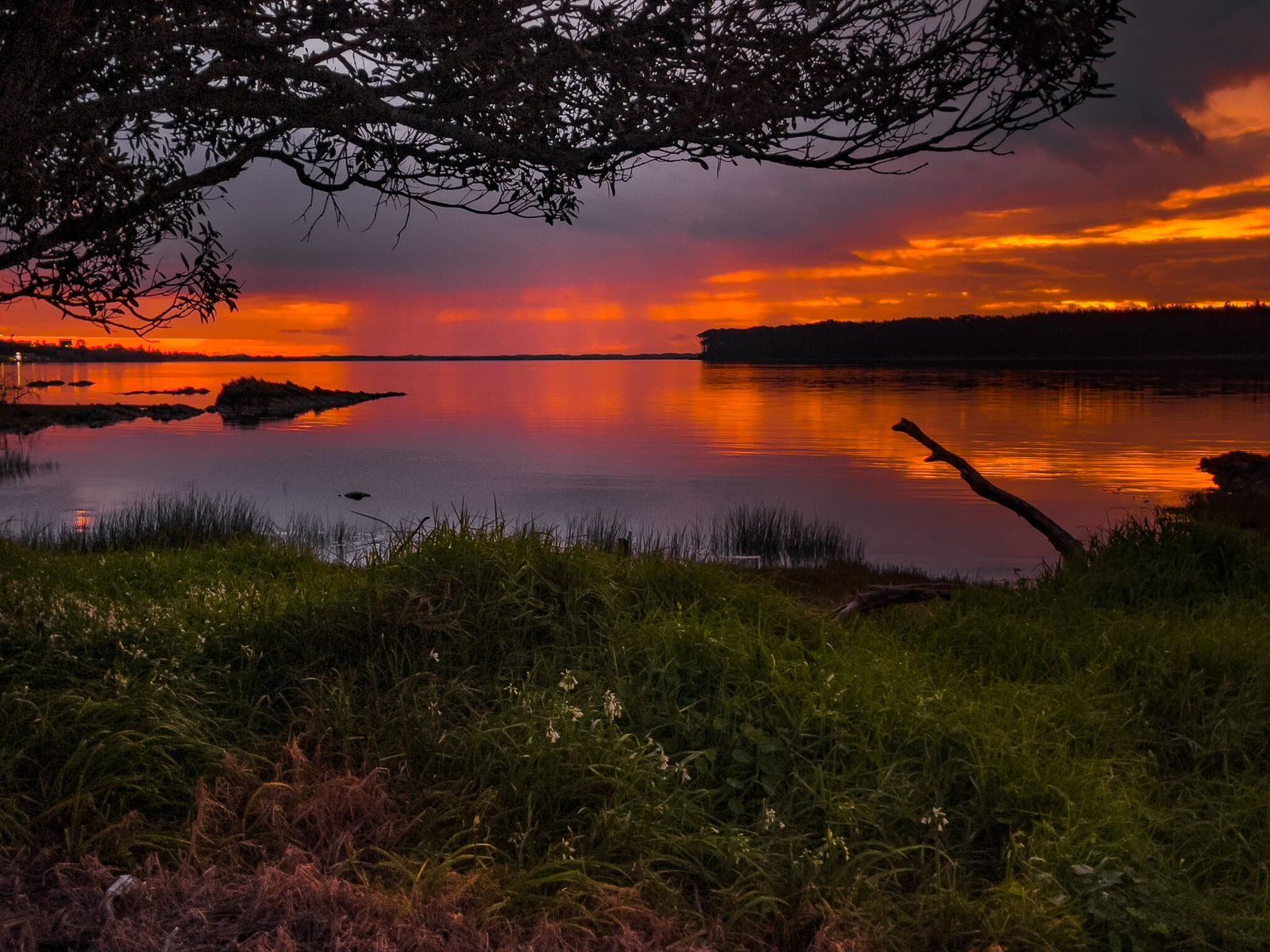
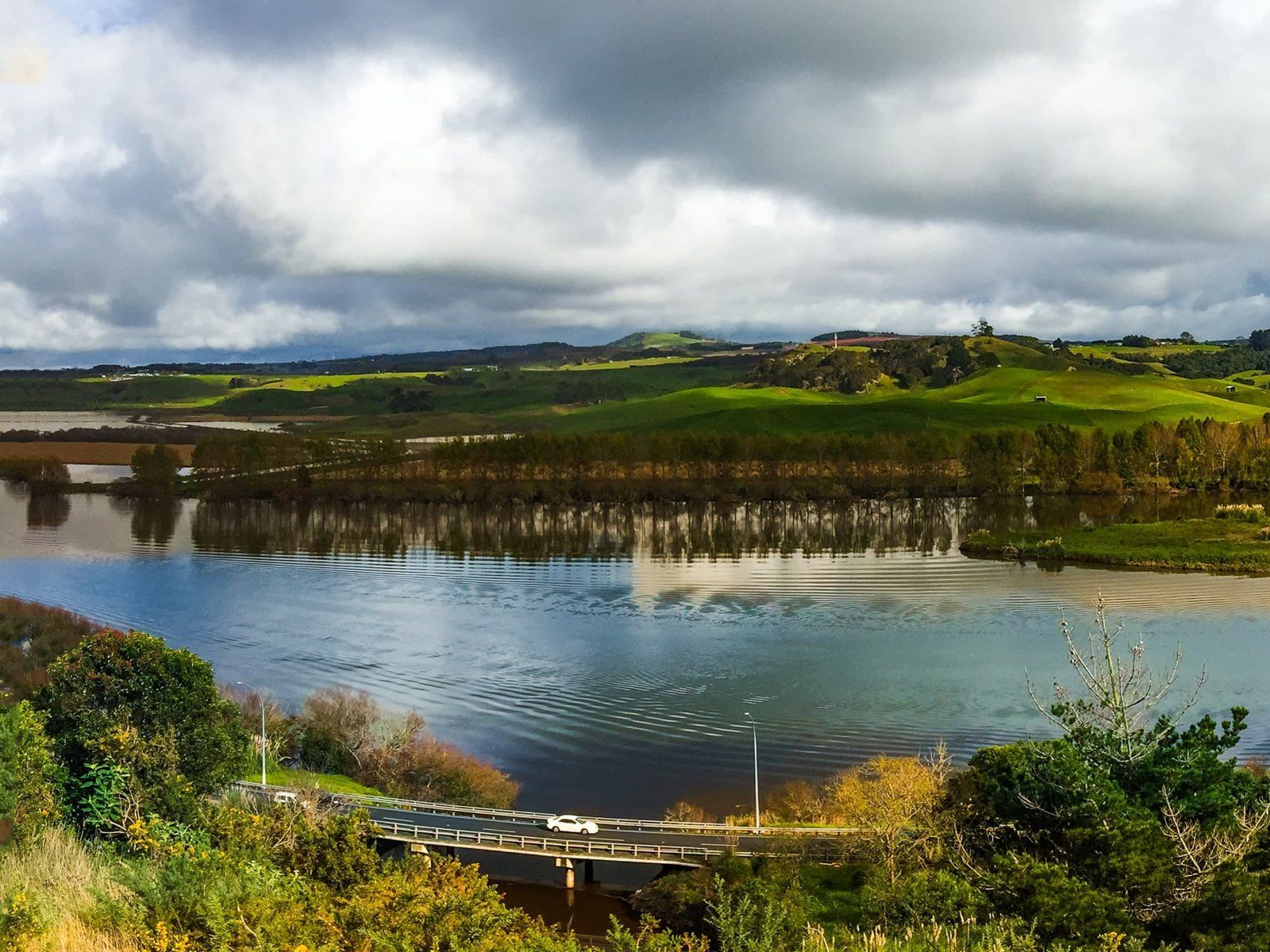
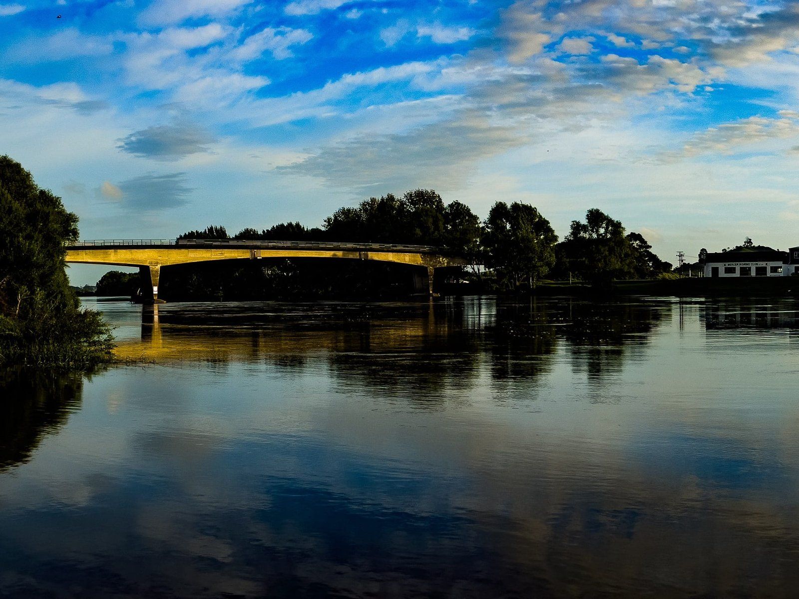
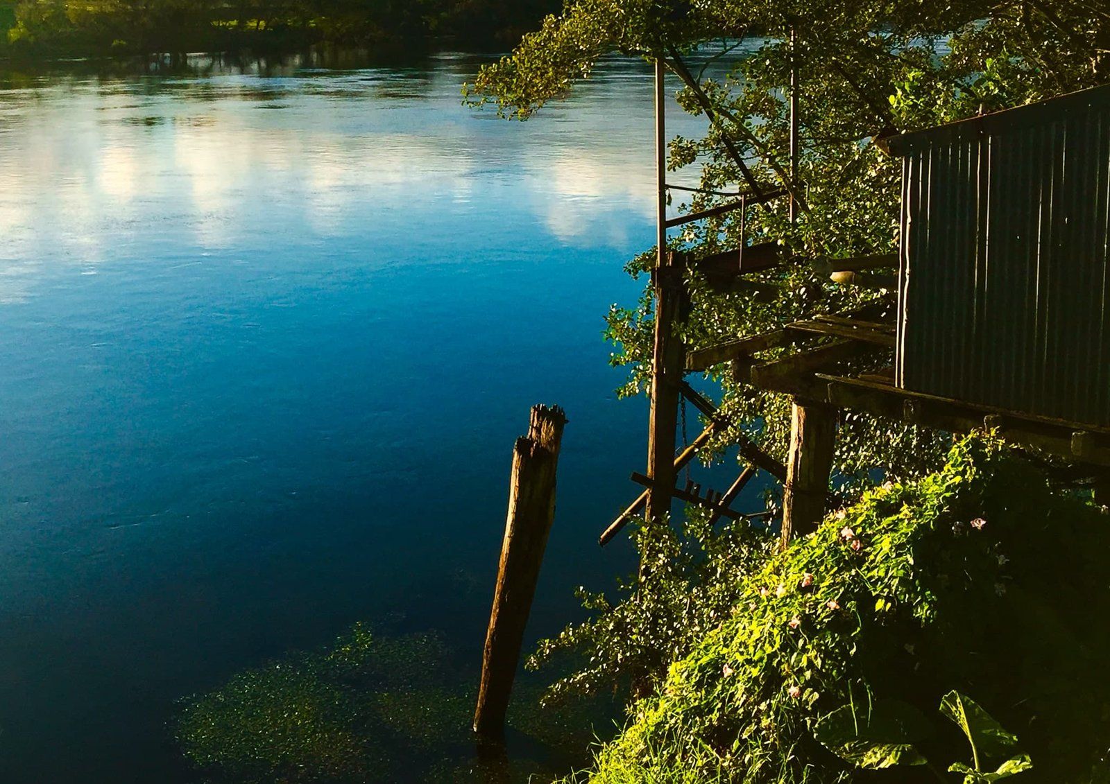
The River is unencumbered from Karapiro as it heads through Cambridge, Hamilton, Huntly, Meremere and Mercer. At Mercer, it veers west to the coast. After Lake Karapiro, the best locations to visit the river include Cambridge, central Hamilton and Hamilton Gardens, Ngāruawāhia, Taupiri, Huntly, Rangiriri, Meremere, Mercer, Les Batkin Reserve and Port Waikato. The best views are from the Victoria Bridge in Cambridge, at the top of Hakarimata and Whangamarino Redoubt. There are excellent views from the road from State Highway 1 heading north from Meremere to Mercer, on Riverview Road south of Huntly and along Lake Whakamaru on State Highway 30.
Much of the river can also be accessed on foot and by bike. The Waikato River Trails runs from Lake Karapiro south to Atamuri. Te Awa River Ride runs from Ngāruawāhia through Hamilton to Cambridge. Te Araroa also follows the River for 80 km between Mercer and Hamilton.