The Southern Scenic Route is a tourist highway between Queenstown and Dunedin described as “one of the world’s great undiscovered drives”. There are numerous easy-to-overlook side attractions on the Route between Tuatapere and Te Anau, several of which are within or on the edge of Fiordland National Park. These include several short forest walks, incredible even by NZ standards, access to Lake Hauroko, Lake Monowai, Lake Manapouri and to the Waiau River that connects Te Anau and Lake Manapouri.
It is a 100 km drive from Tuatapere to Te Anau and some of these opportunities are a bit remote. The obvious upside is that you will have them largely to yourself most of the time. However, you will need to allow a couple of days or more if you want to do some of the longer walks into Fiordland National Park. Make sure you are prepared for changeable weather; we had plenty of it on this trip!
Lake Hauroko
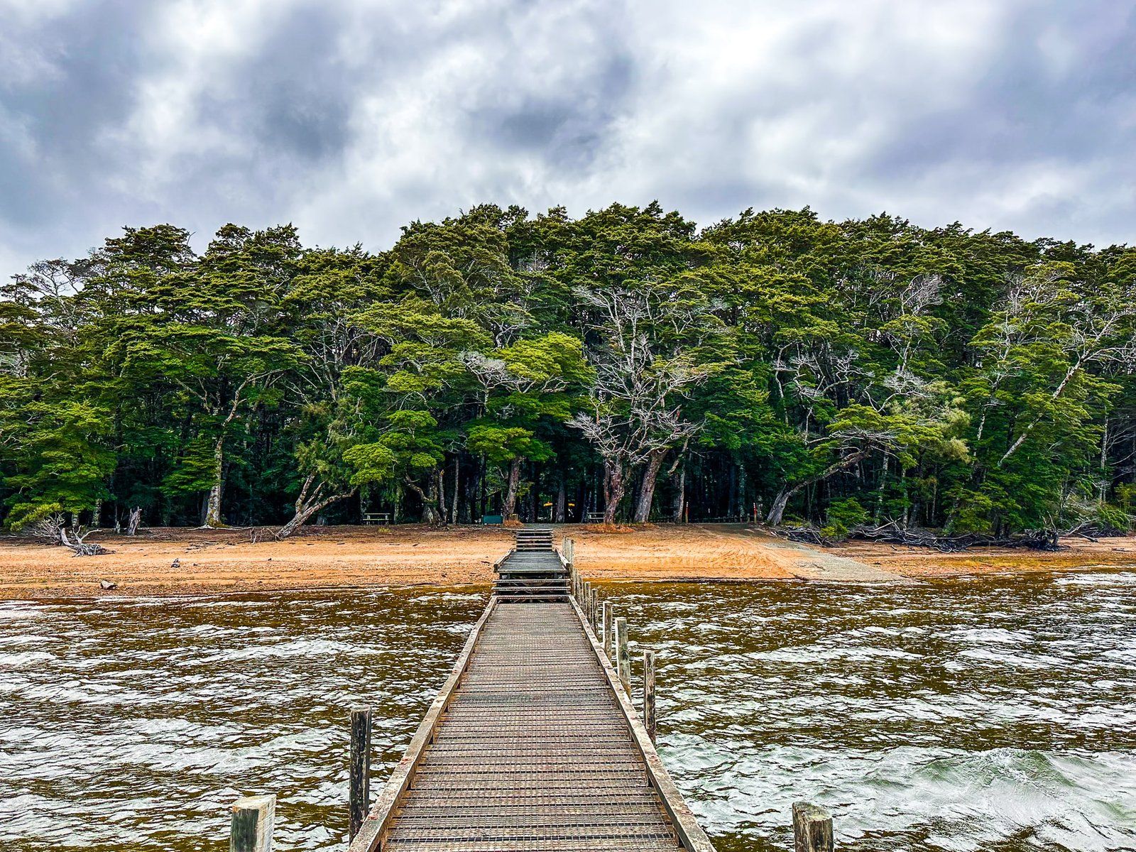
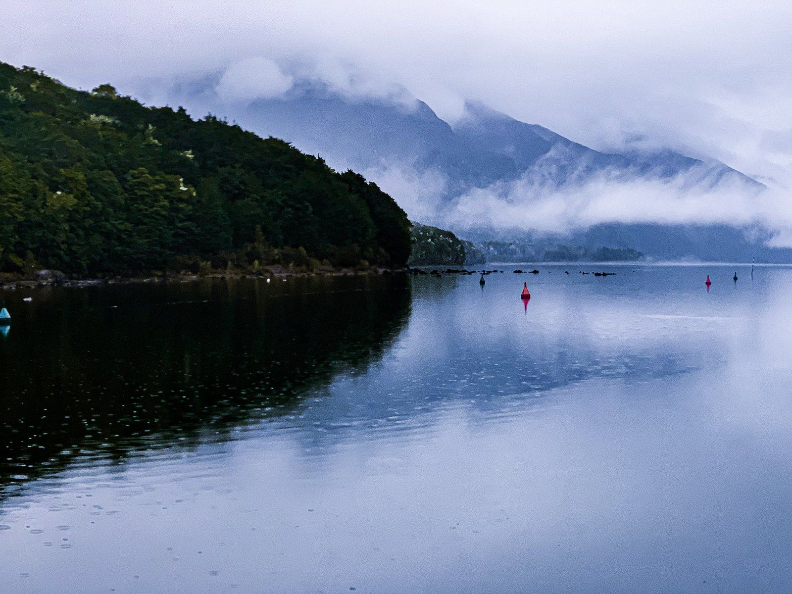
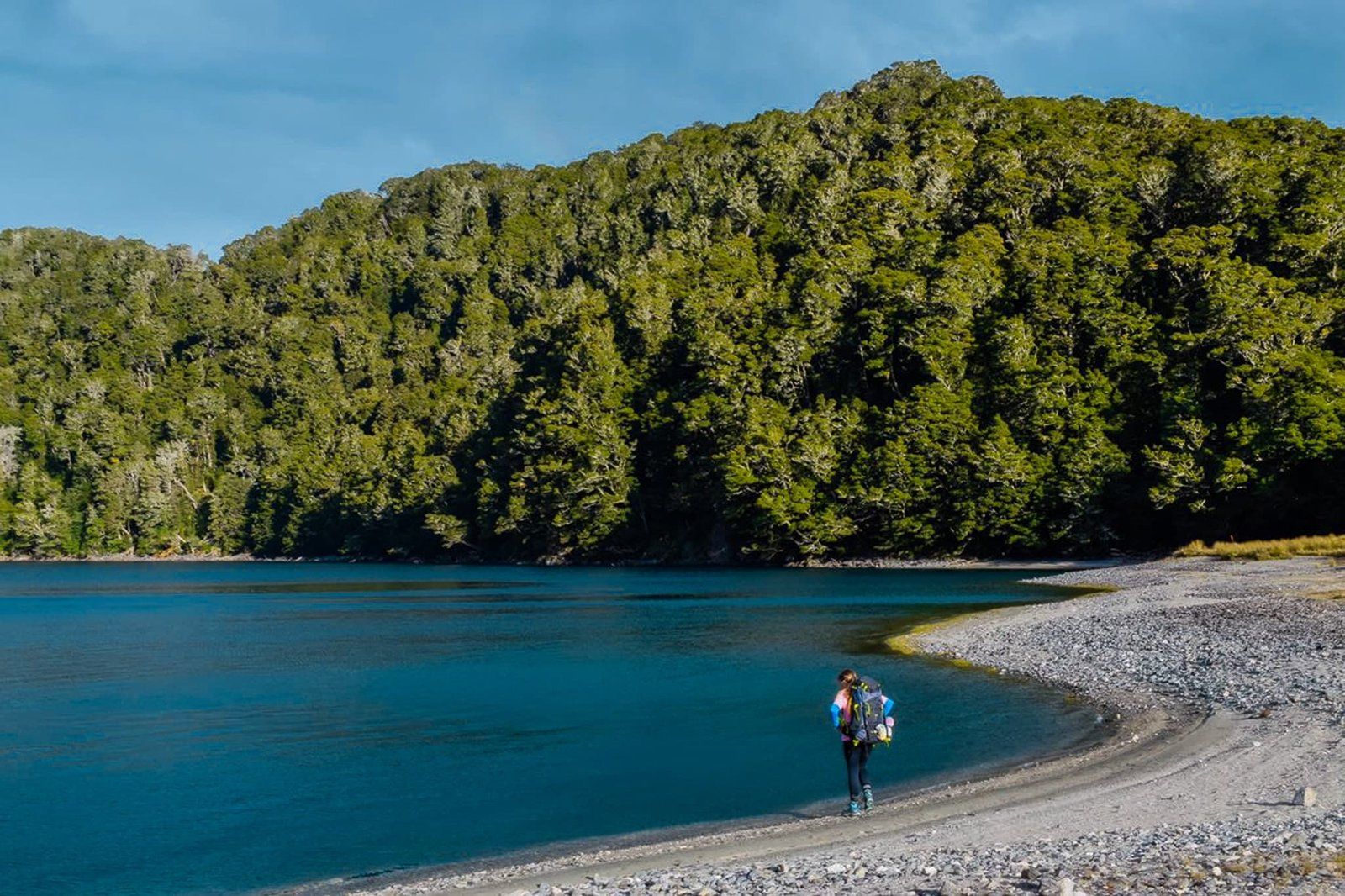
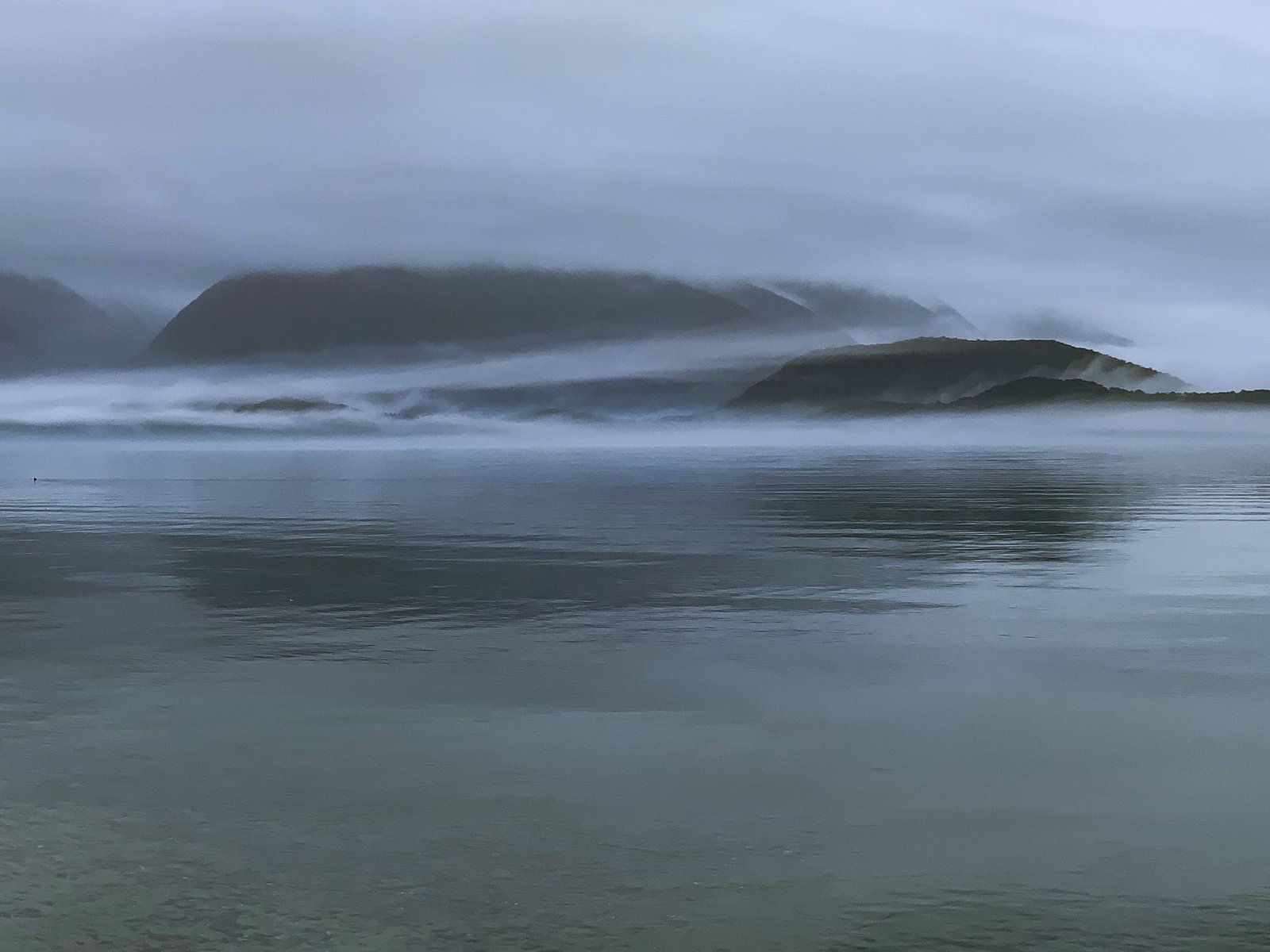
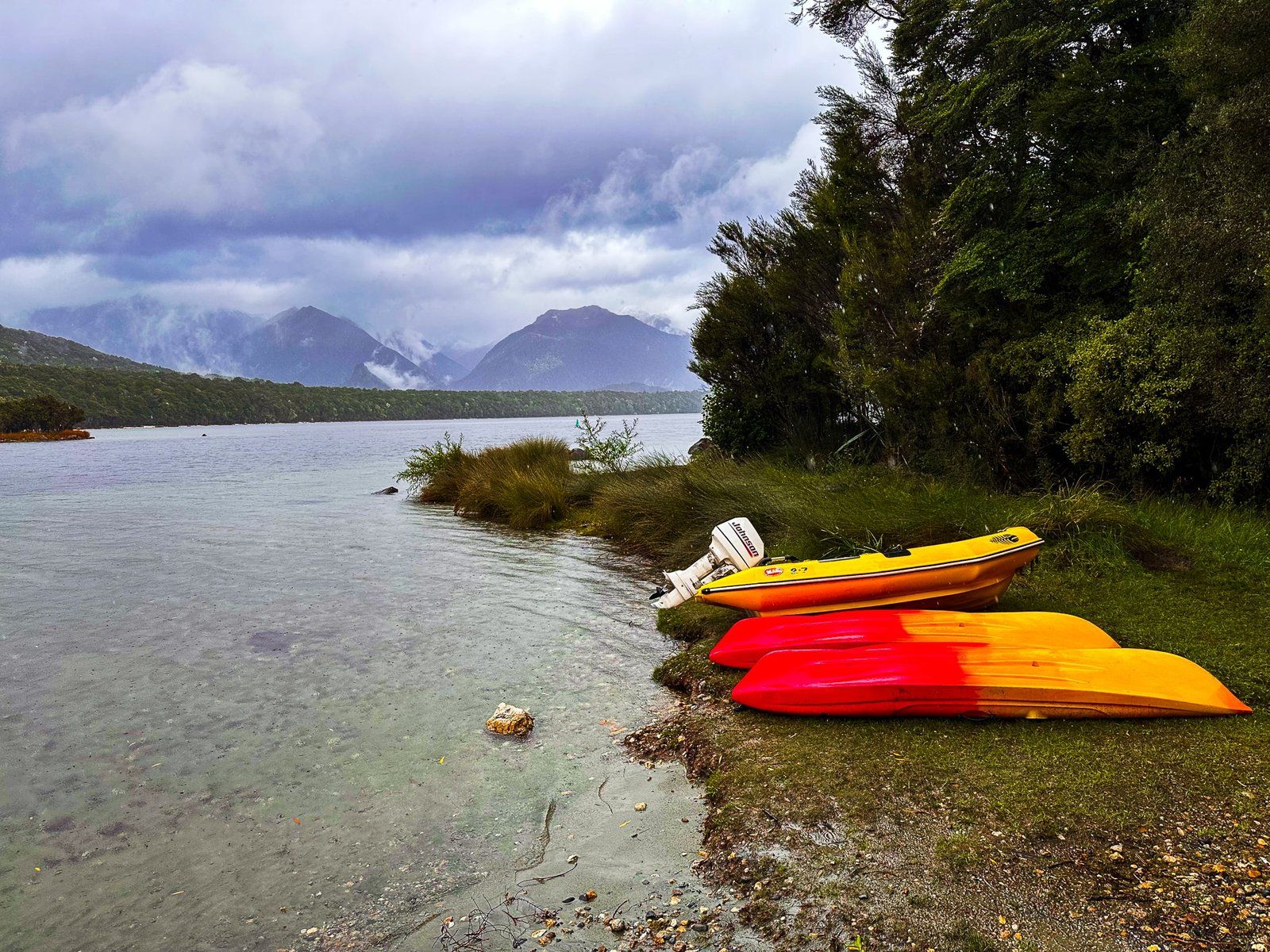
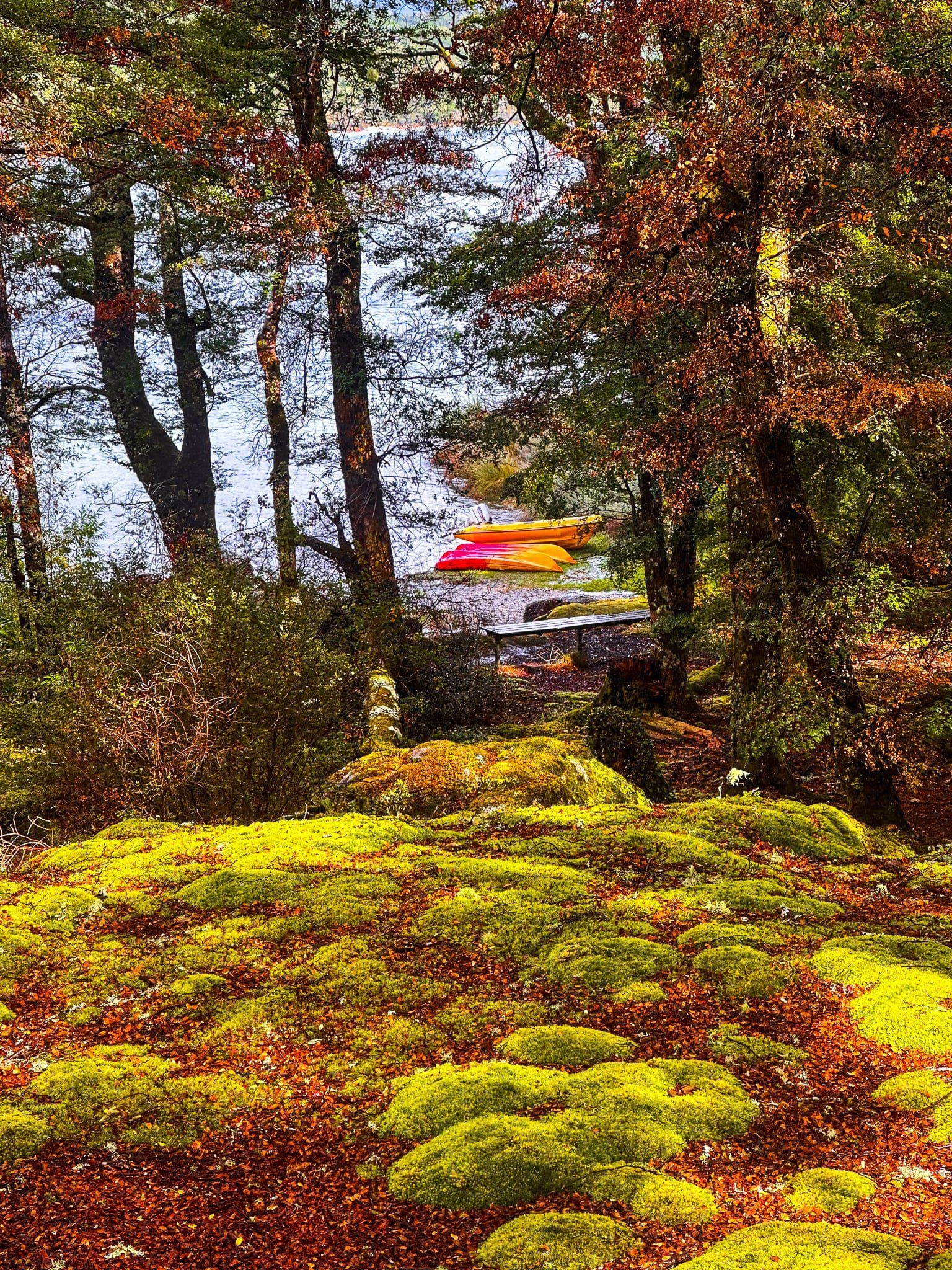
Lake Hauroko is the most remote road-accessible glacial lake in the Fiordland region, about 35 kms along Lillburn Valley Road from the main highway. The turnoff is signposted just to the south of Clifden and about 12 km north of Tuatapere. The side road is sealed for about 15 km and runs through farmland, then turns into a metal road all the way to the lake. The last few km beyond the DOC Thicket Burn campground wind through beech forest in Fiordland National Park.
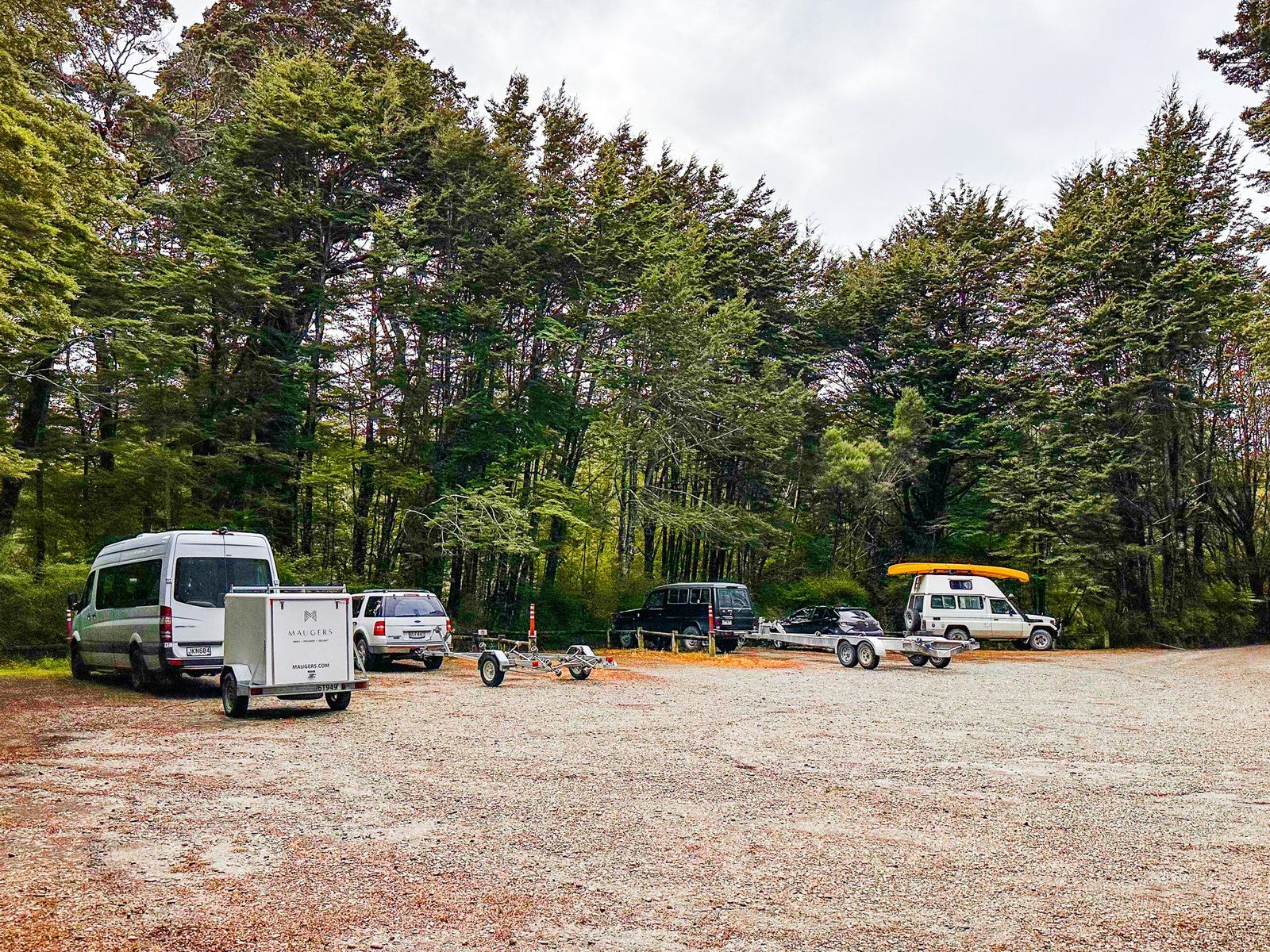
Oddly, there are an unusually large number of road warning signs – the upcoming metal road, stray animals, windy and narrow and so on. But in practice, the road is in good condition with few blind spots. There is a reasonably large car park in the forest at the lake, allowing plenty of room for those towing boats. The boat ramp and a jetty are immediately in front of the car park.
Walk out onto the jetty for the best view of the lake and surroundings. It does not look like it from there, but it is the deepest lake in NZ (462 metres) and one of the deepest in the world.
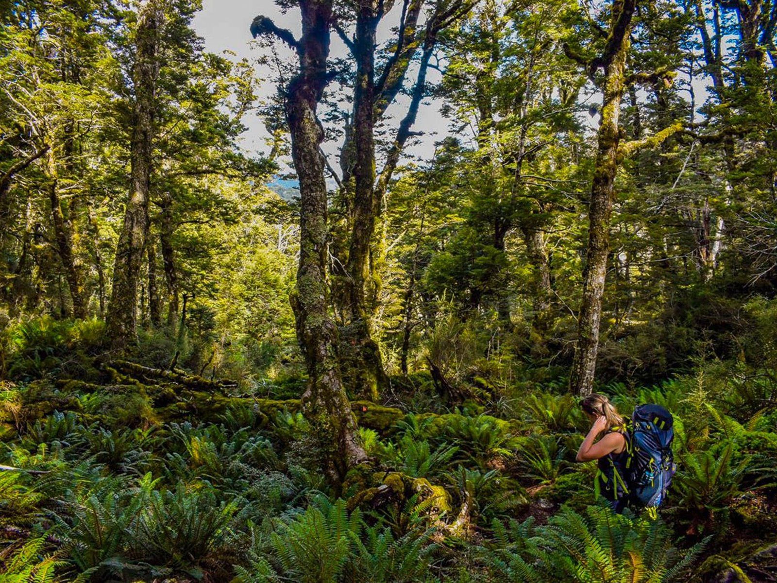
From the jetty, follow the beach to the west to find the entrance to the Lake Hauroko Lookout Track. This runs through a flat and very pretty section of lakeside bush, with access to sandier sections of the beach in several places. After 15 minutes, it climbs steeply as a rough tramping track, up 400 metres to the viewpoint at 556 metres. You need to allow three to four hours to get up and back and it’s best done in good weather.
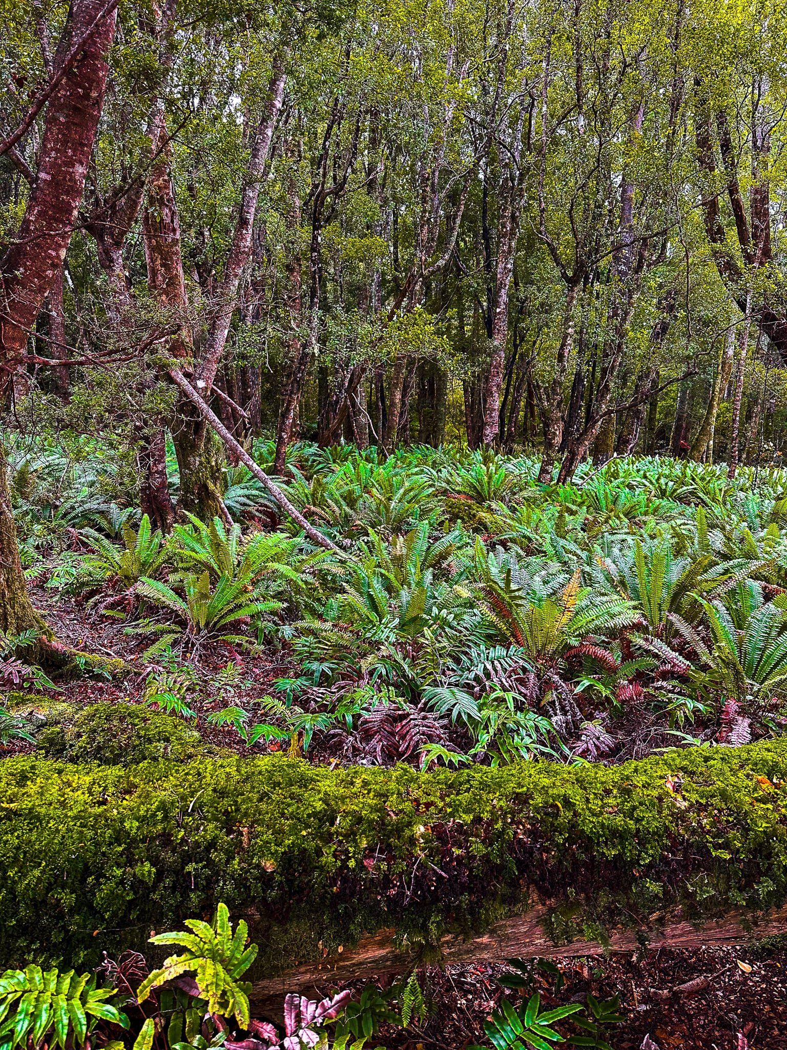
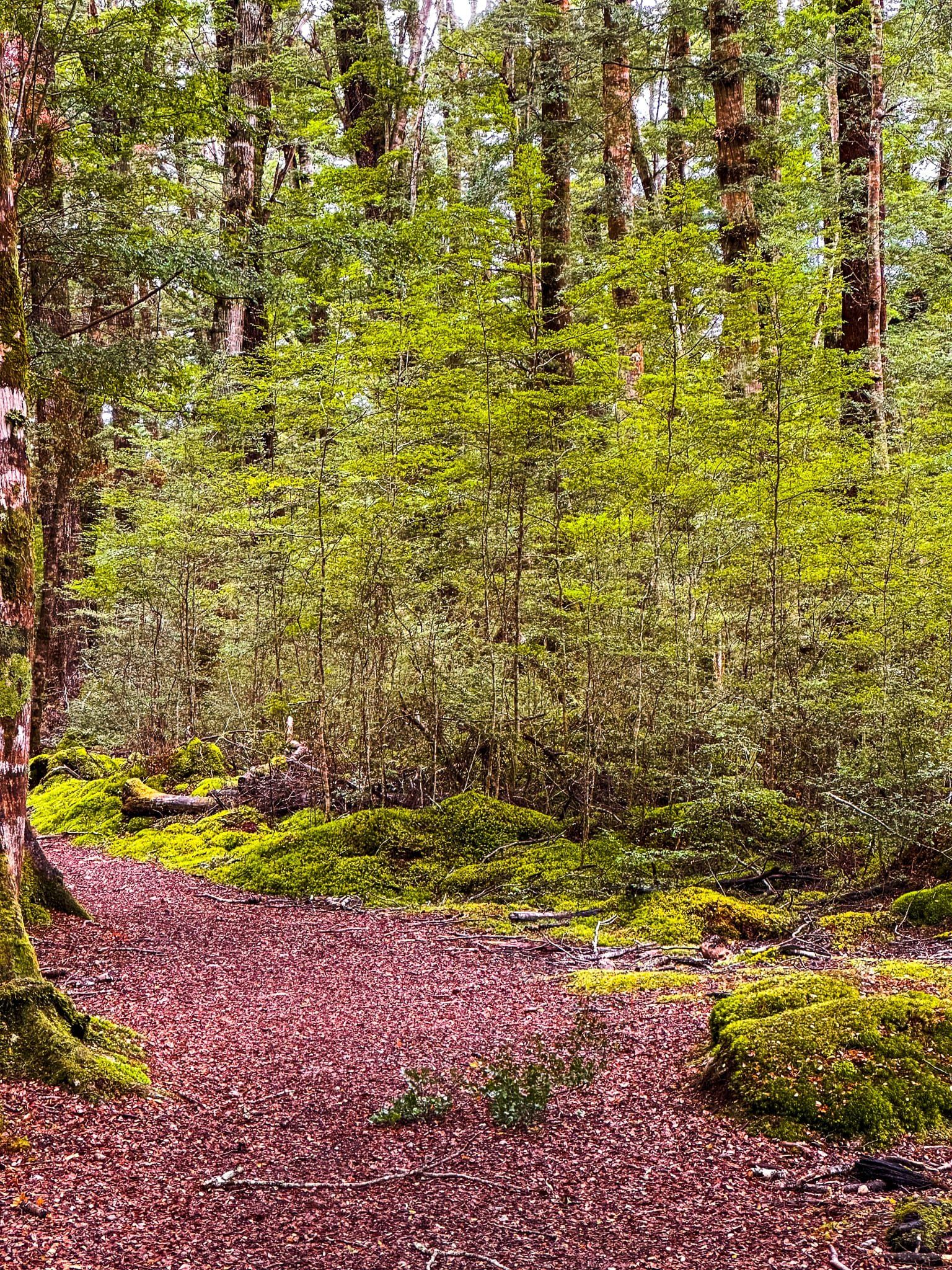
Lake Hauroko Loop
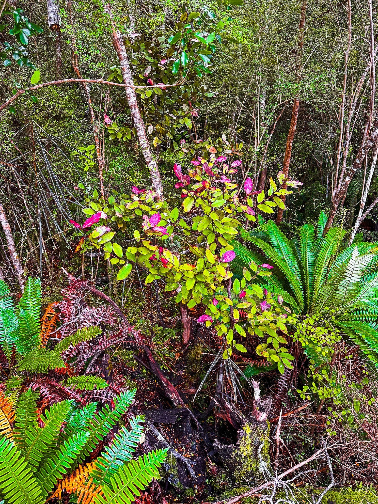
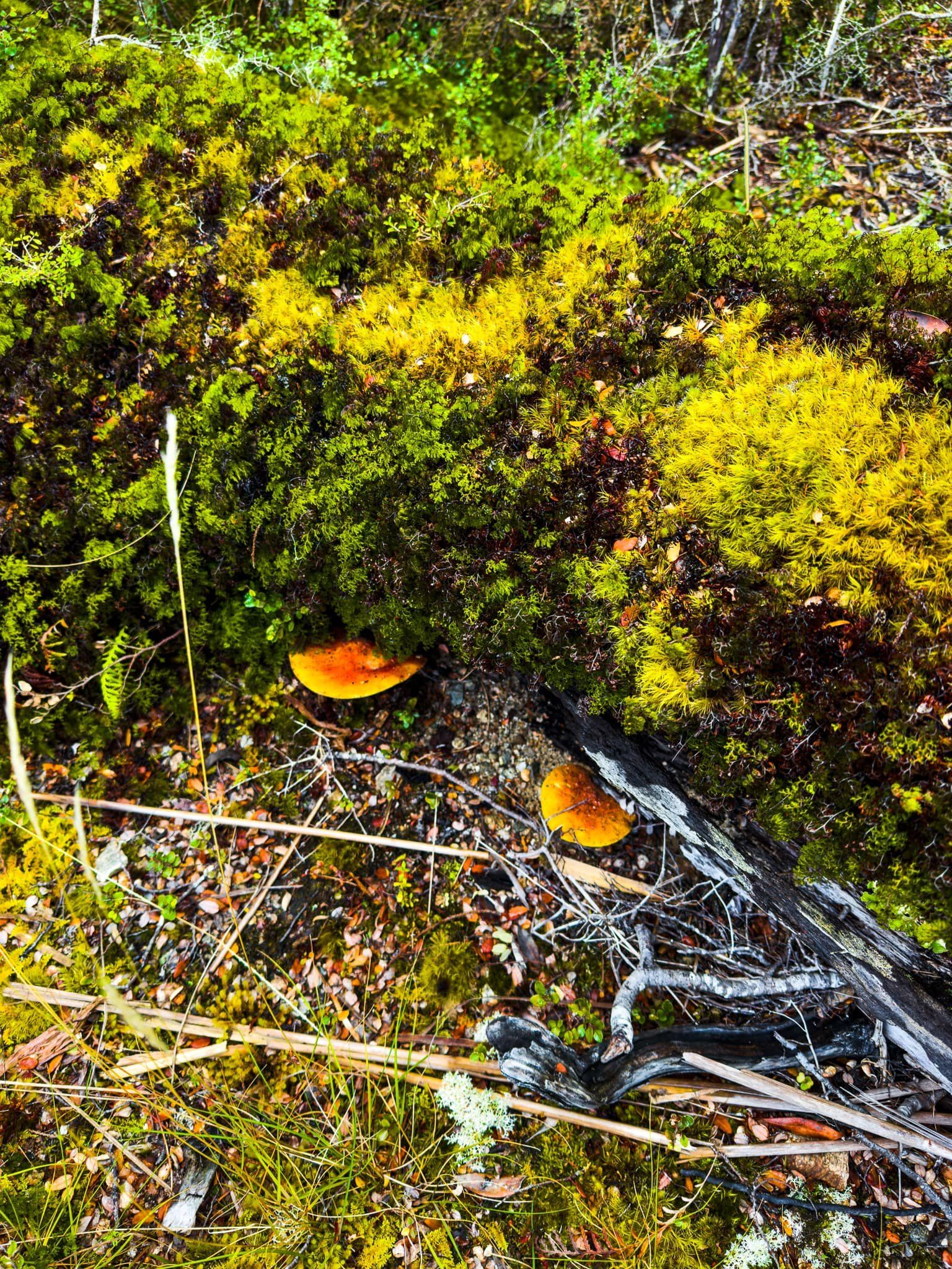
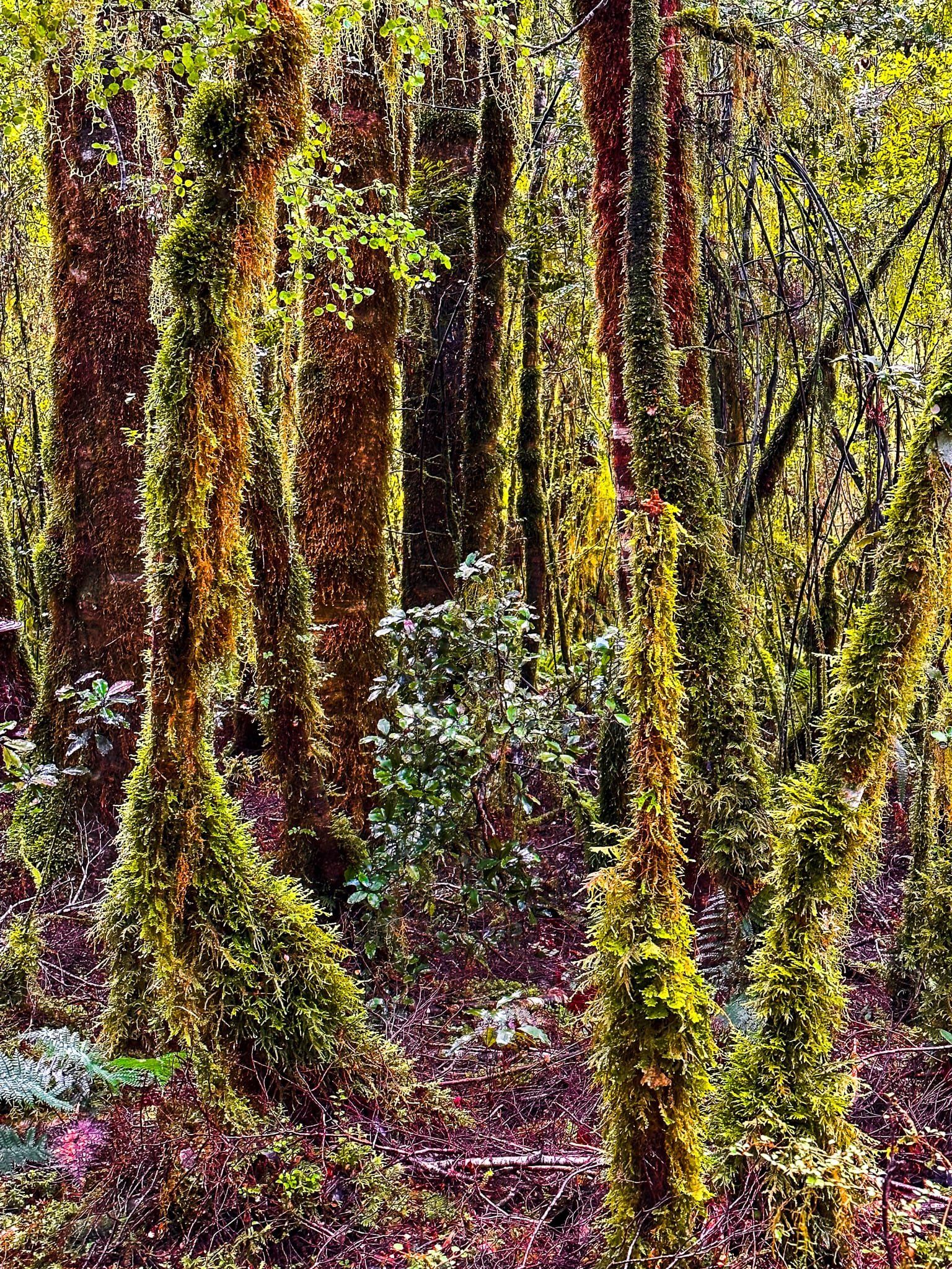
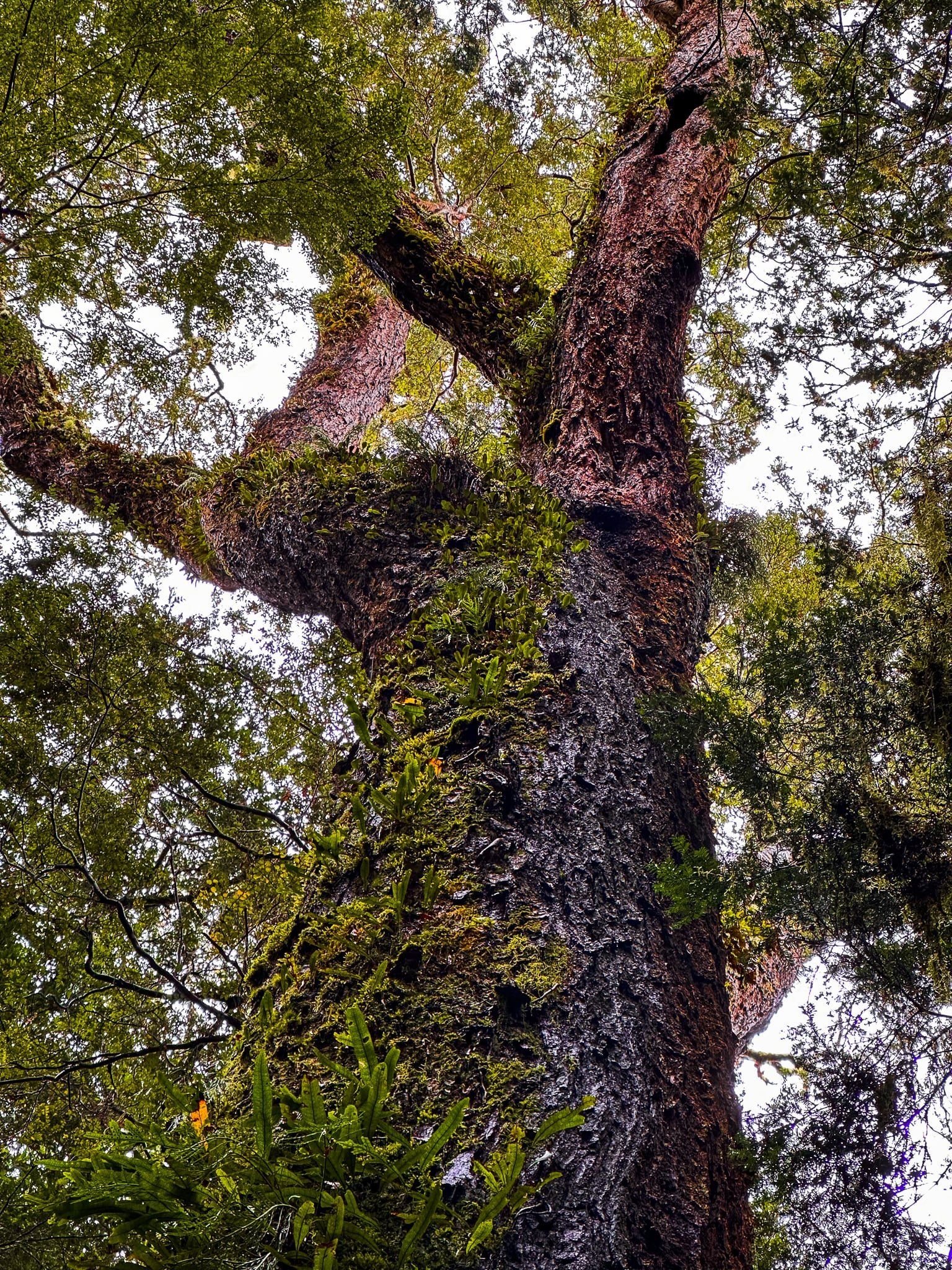
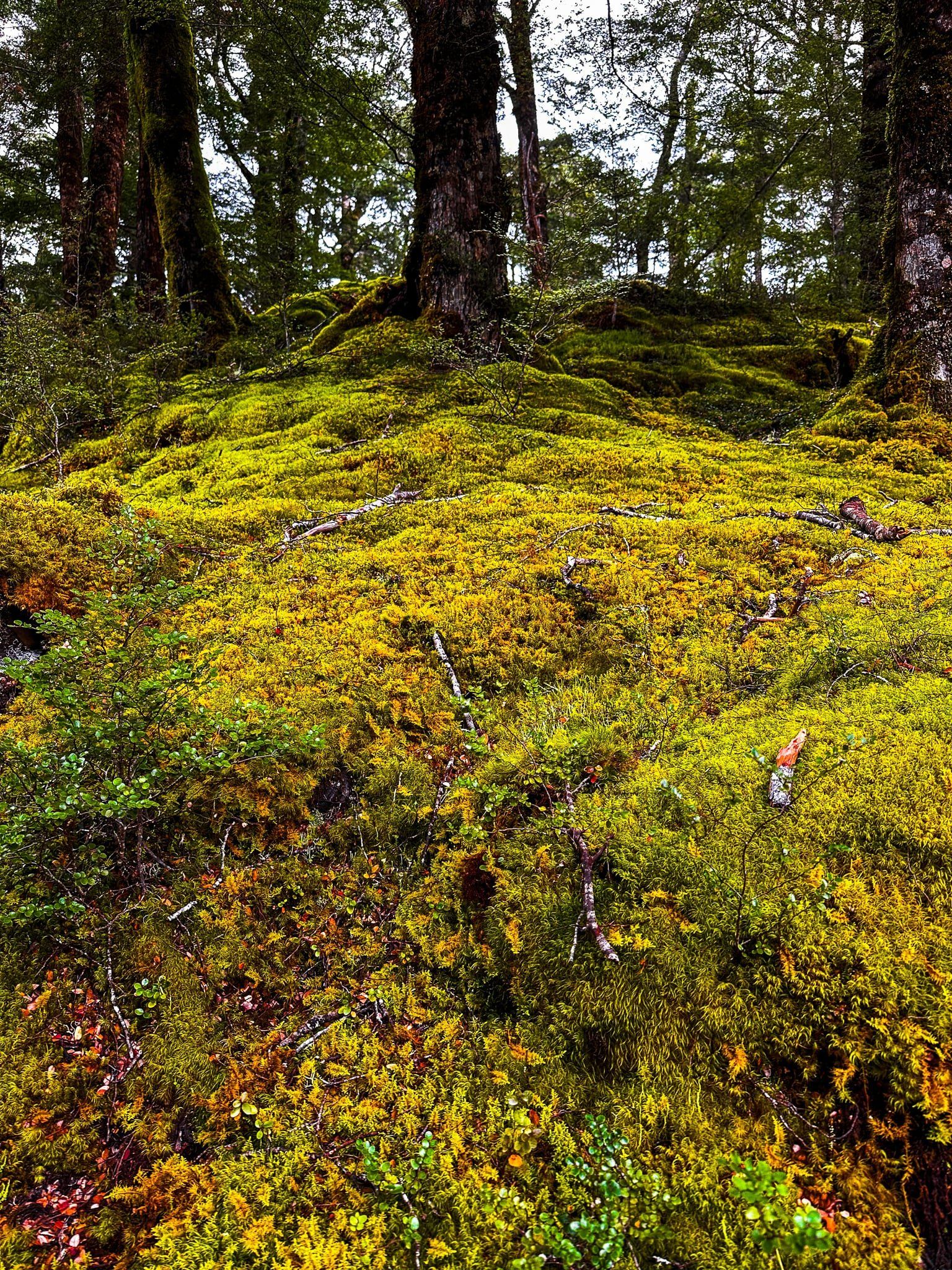
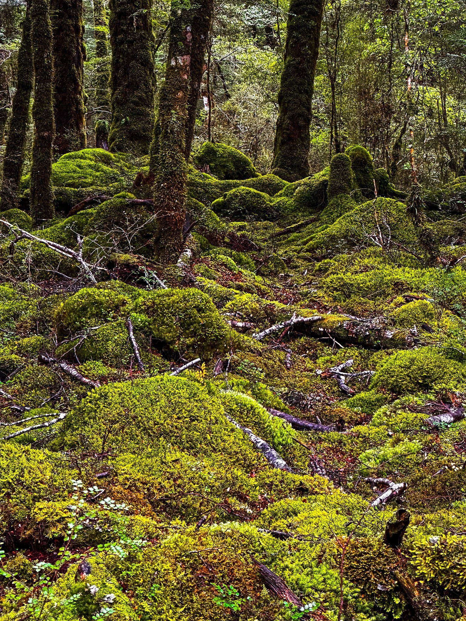
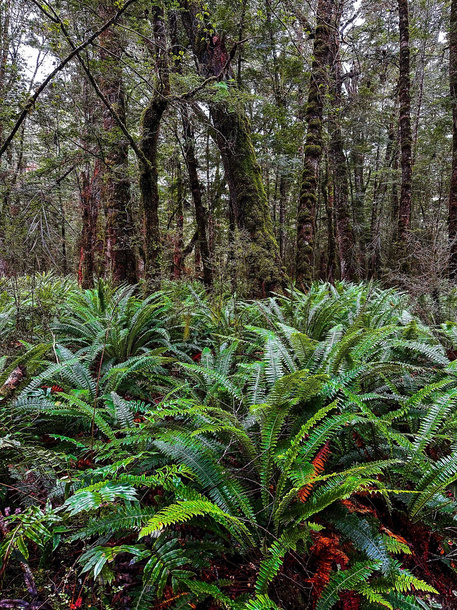
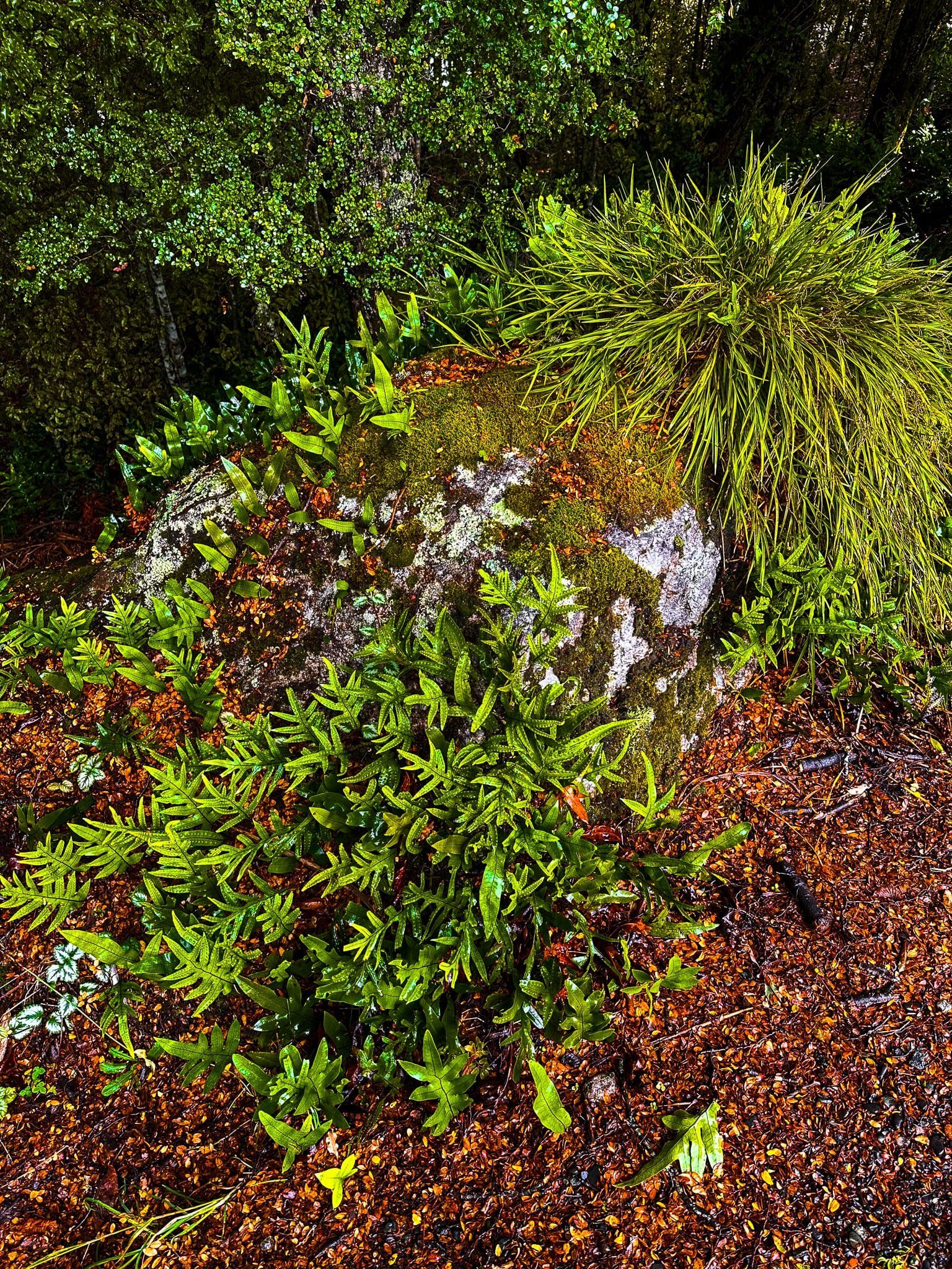
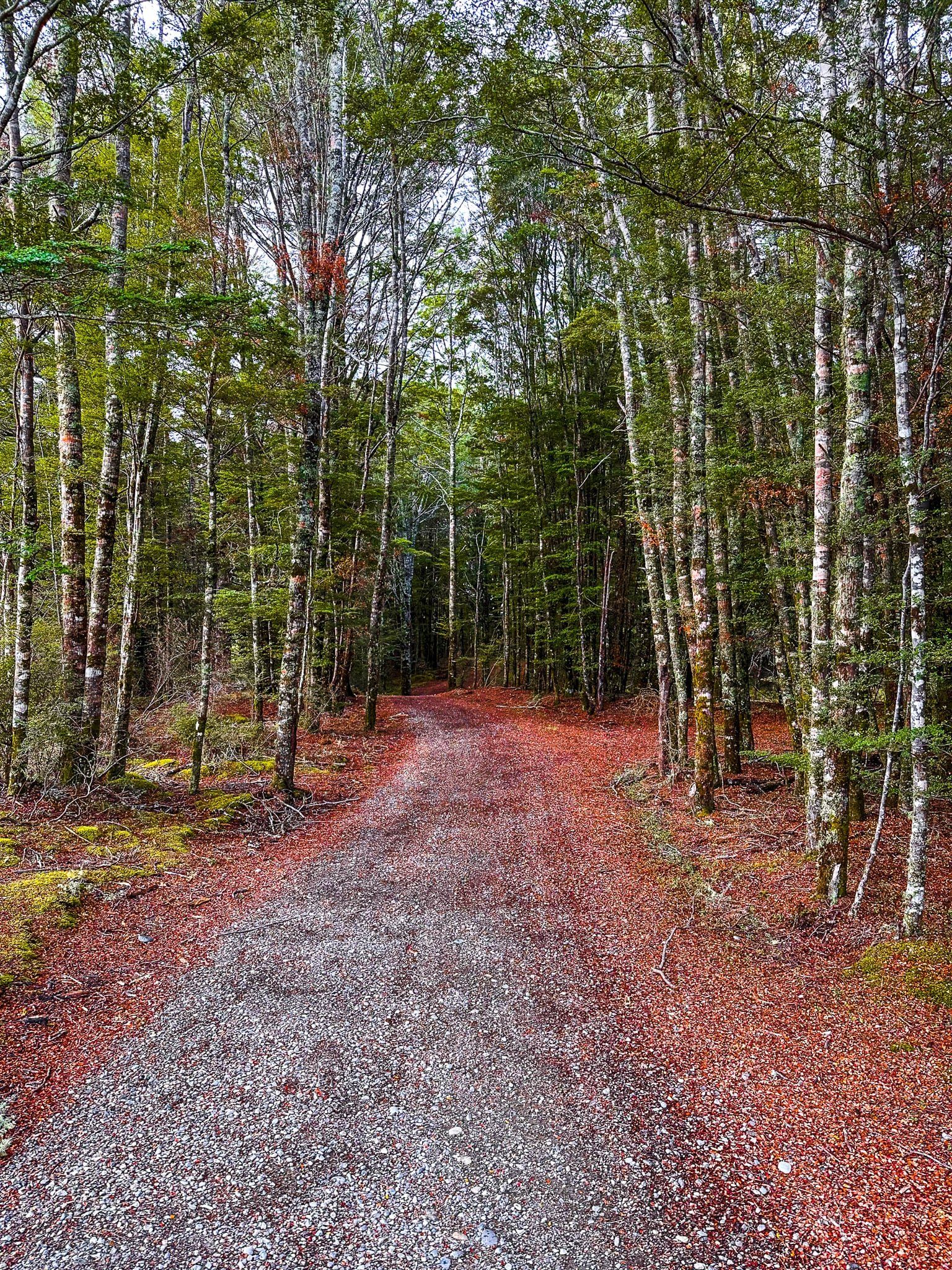
The Lake Hauroko Loop is a flat and easy 40 minute track that starts on the east side of the car park. Heading anti-clockwise, it runs through a section of mature beech forest, then skirts the edge of the lake before cutting back into the forest.
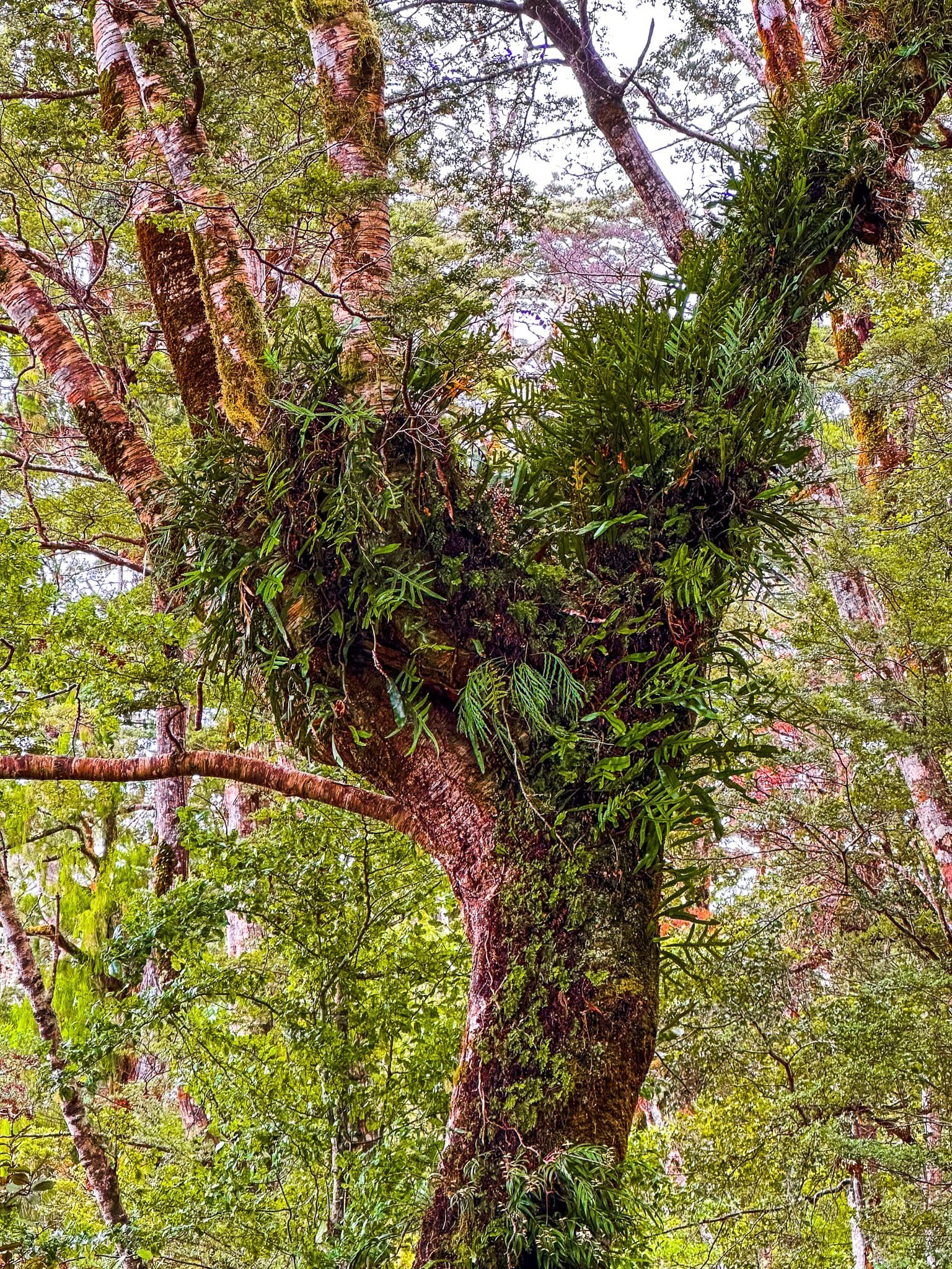
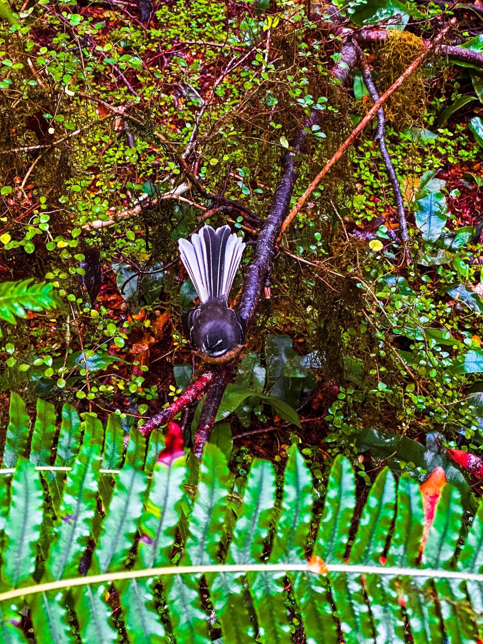
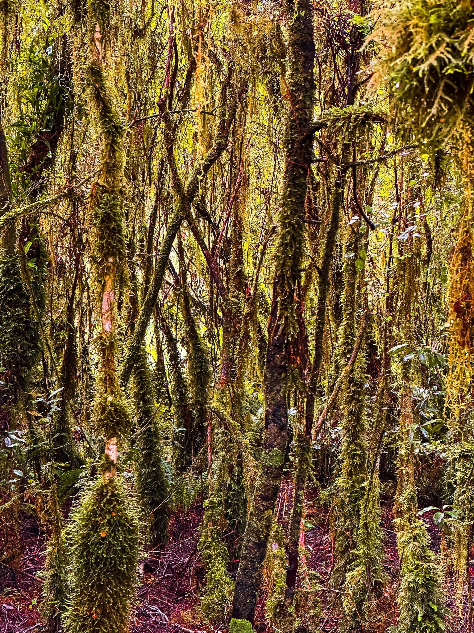
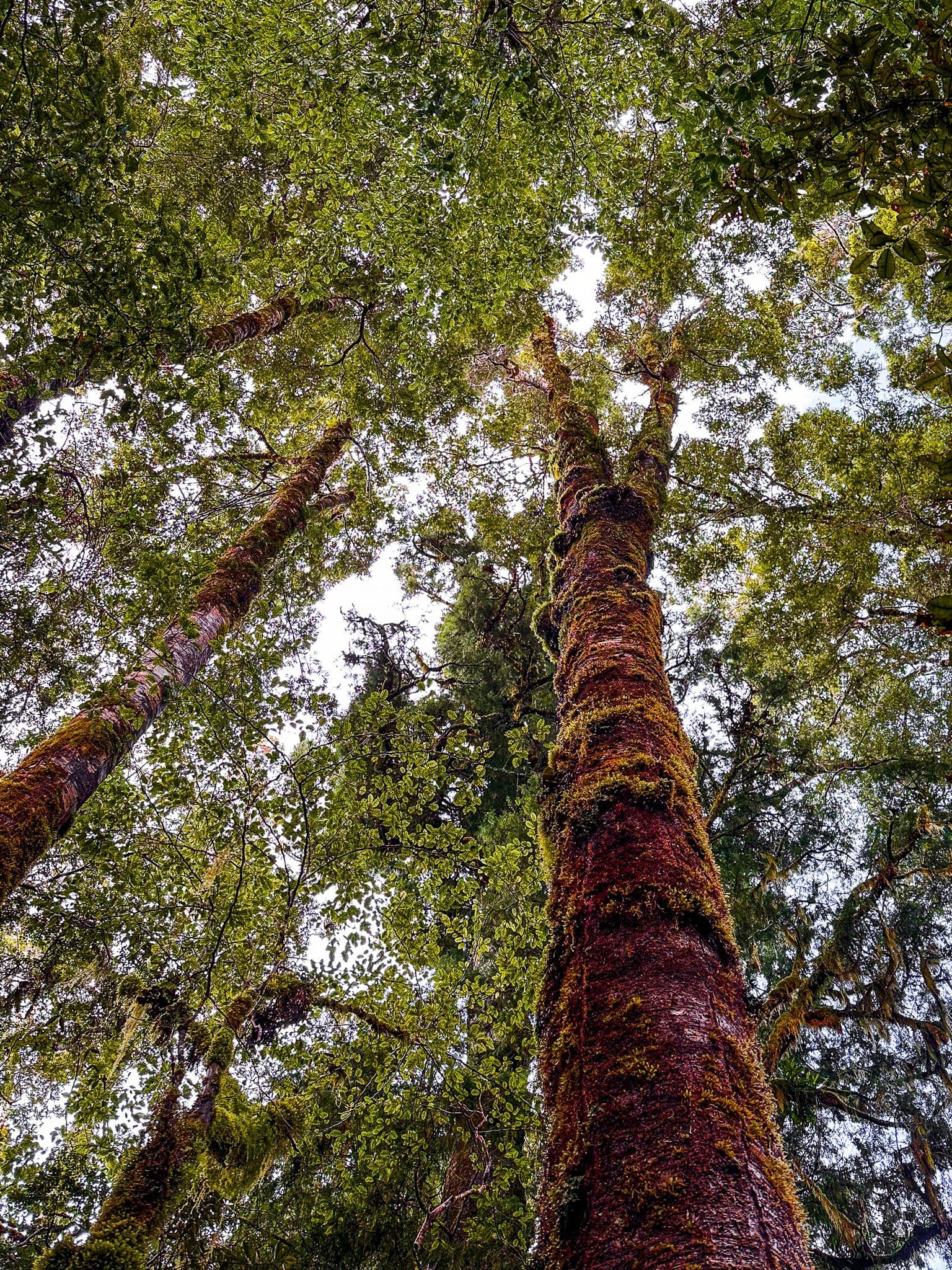
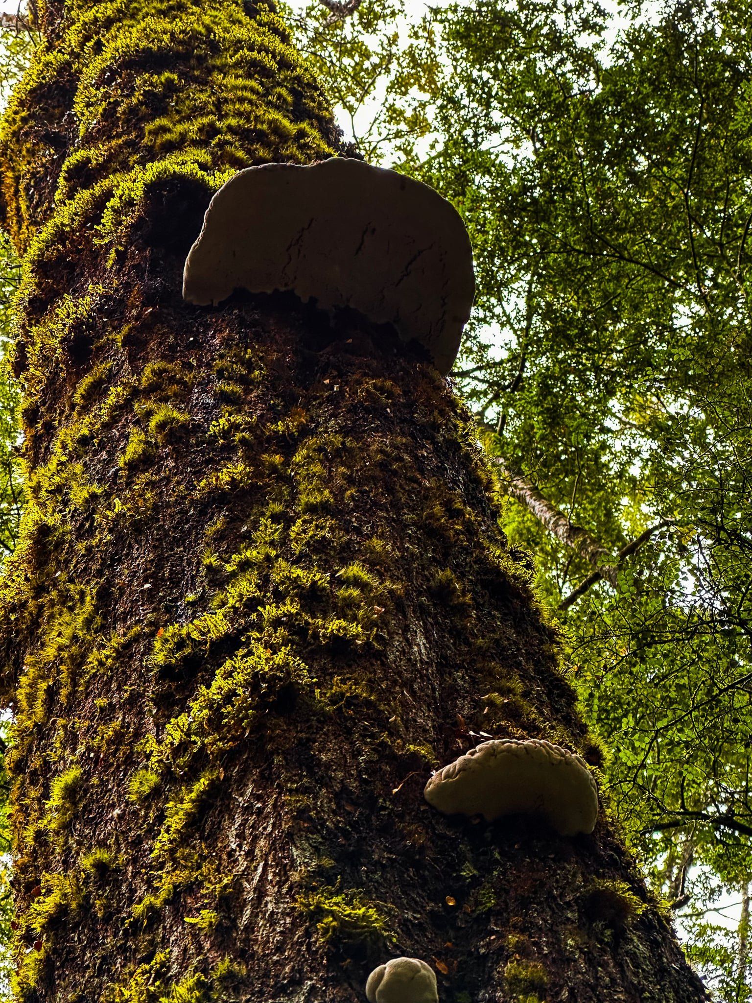
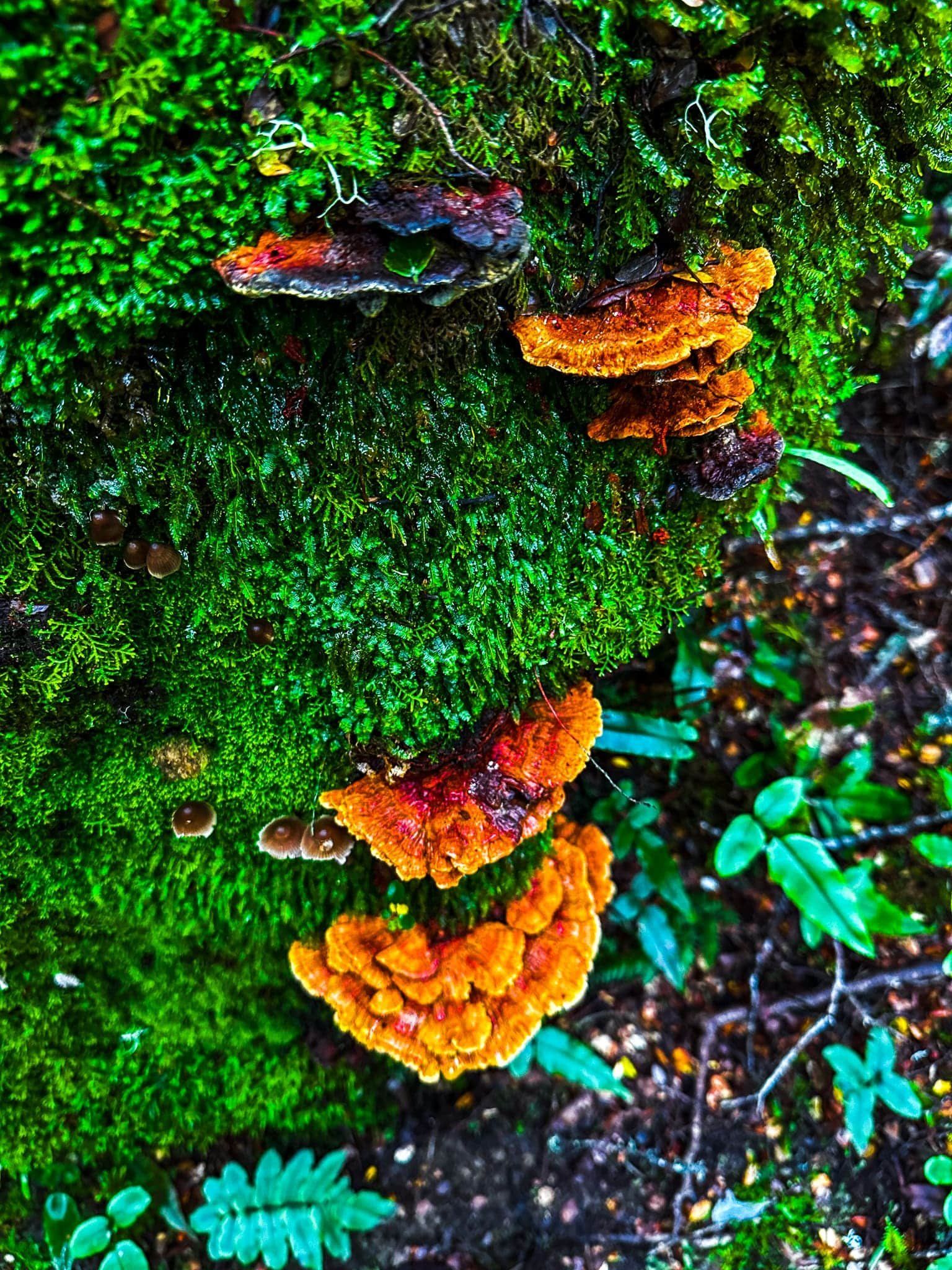
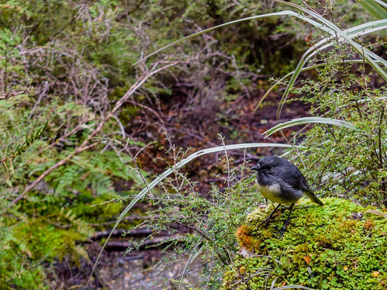
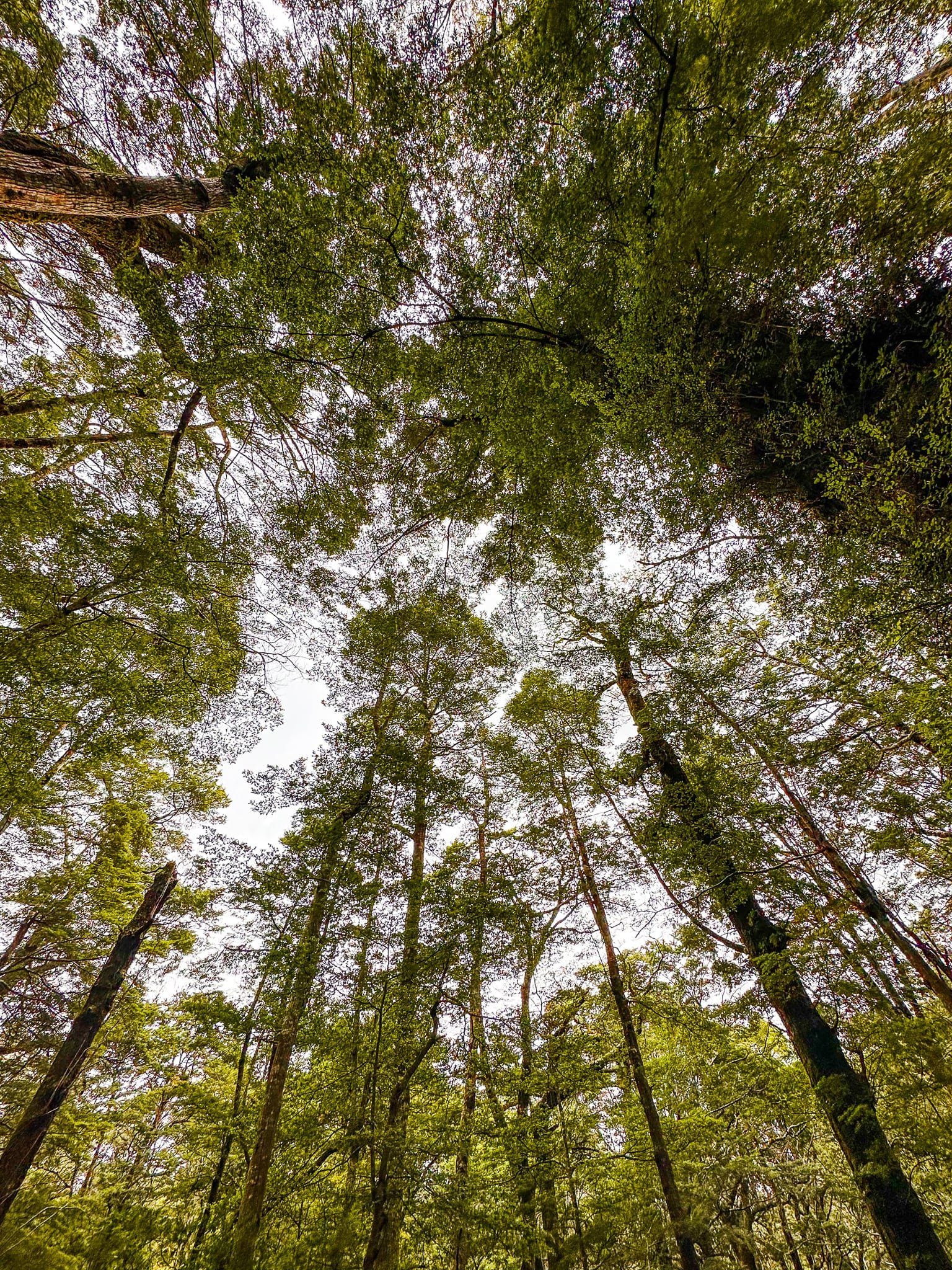
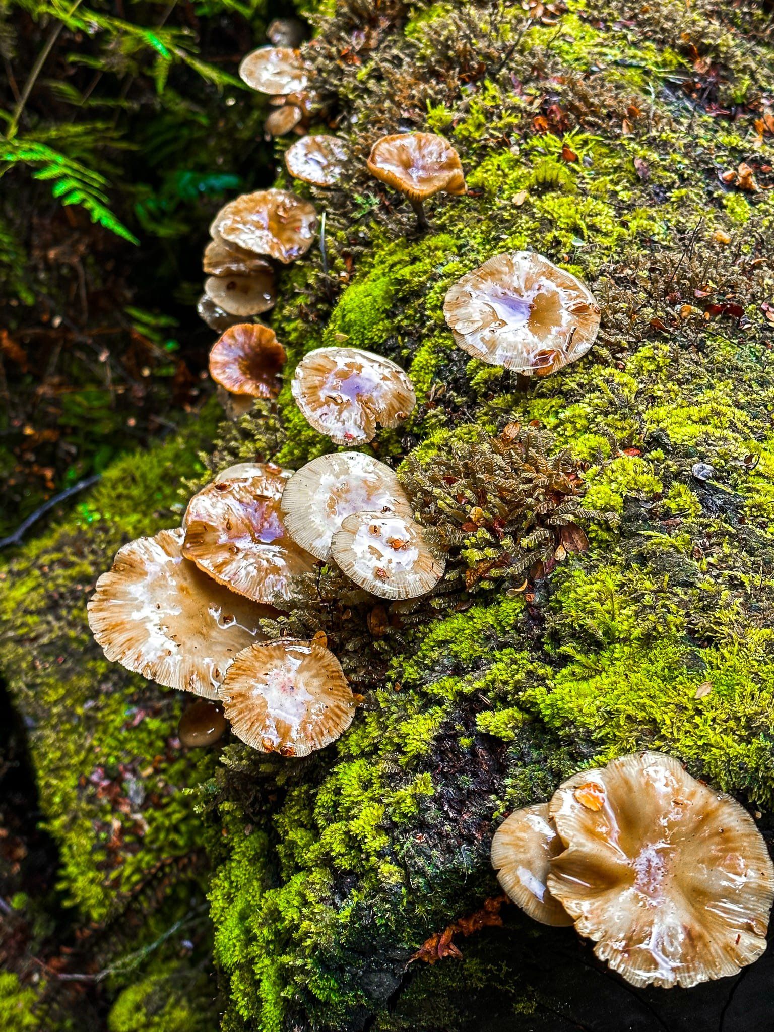
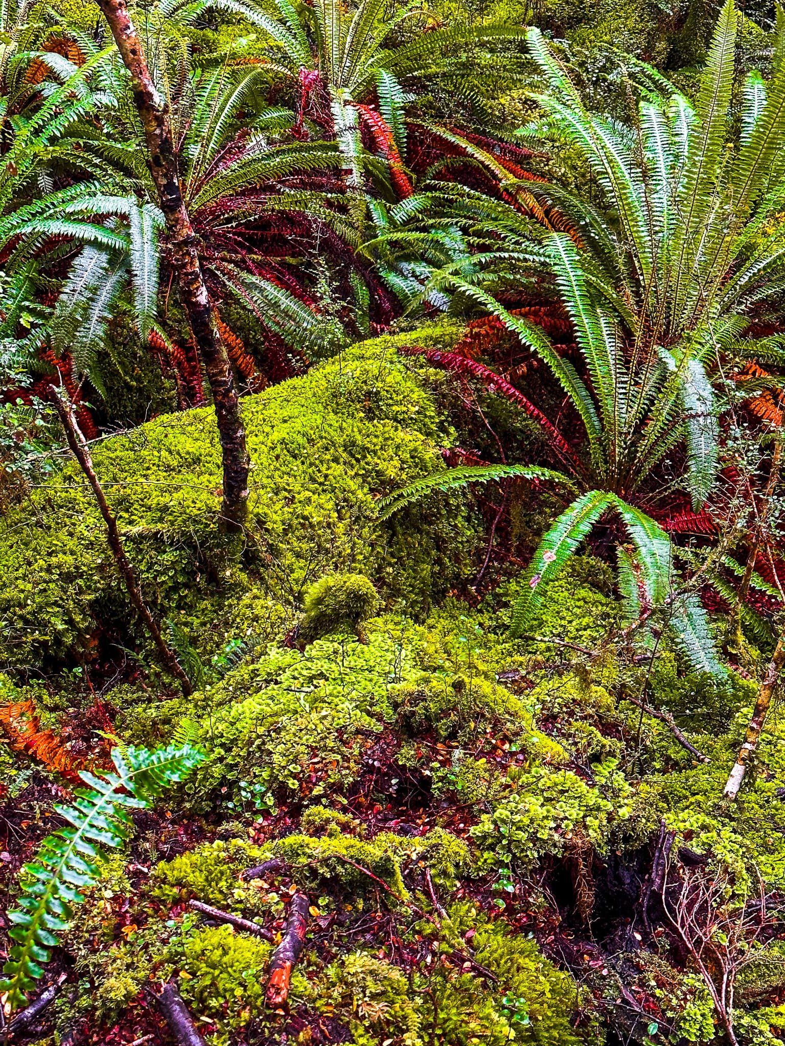
This intensely green section is the most interesting; it looks much wetter, with dense hanging lichen, moss and epiphytes all clamouring for position amongst the beech trees. There is good bird life along the track and the pīwakawaka (fantails) were especially curious.
As you complete the loop, you will also see the start of the 18 km Teal Bay Hut Track. This is a tough tramping track that goes to the southern end of the lake, where it connects with another 17 km track over the north end of the Hump Ridge to Te Waewae Bay.
During summer, you can arrange a water taxi across the Lake to the start of the Dusky Track, a very tough multi-day tramp through Fiordland to Lake Manapouri.
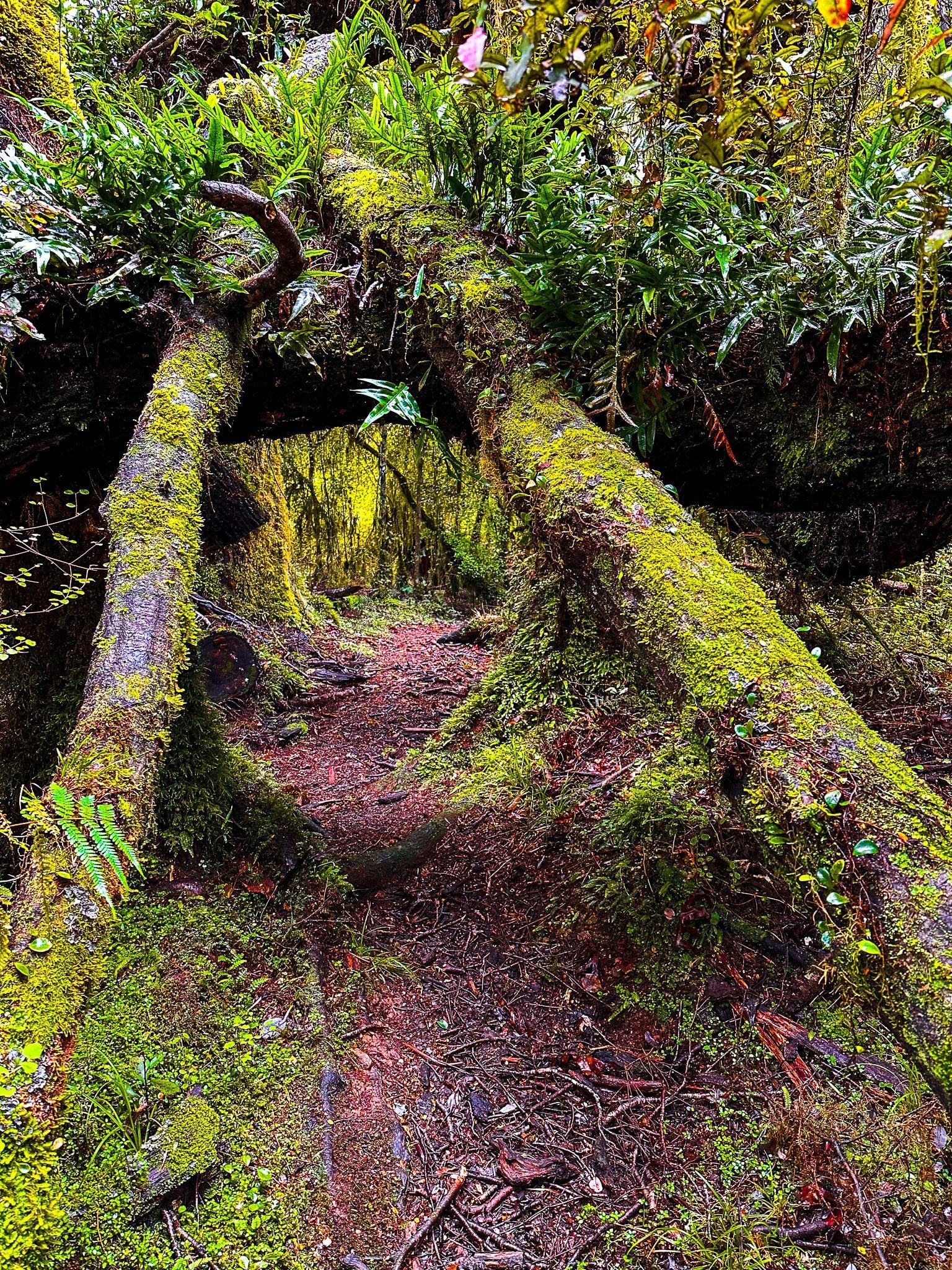
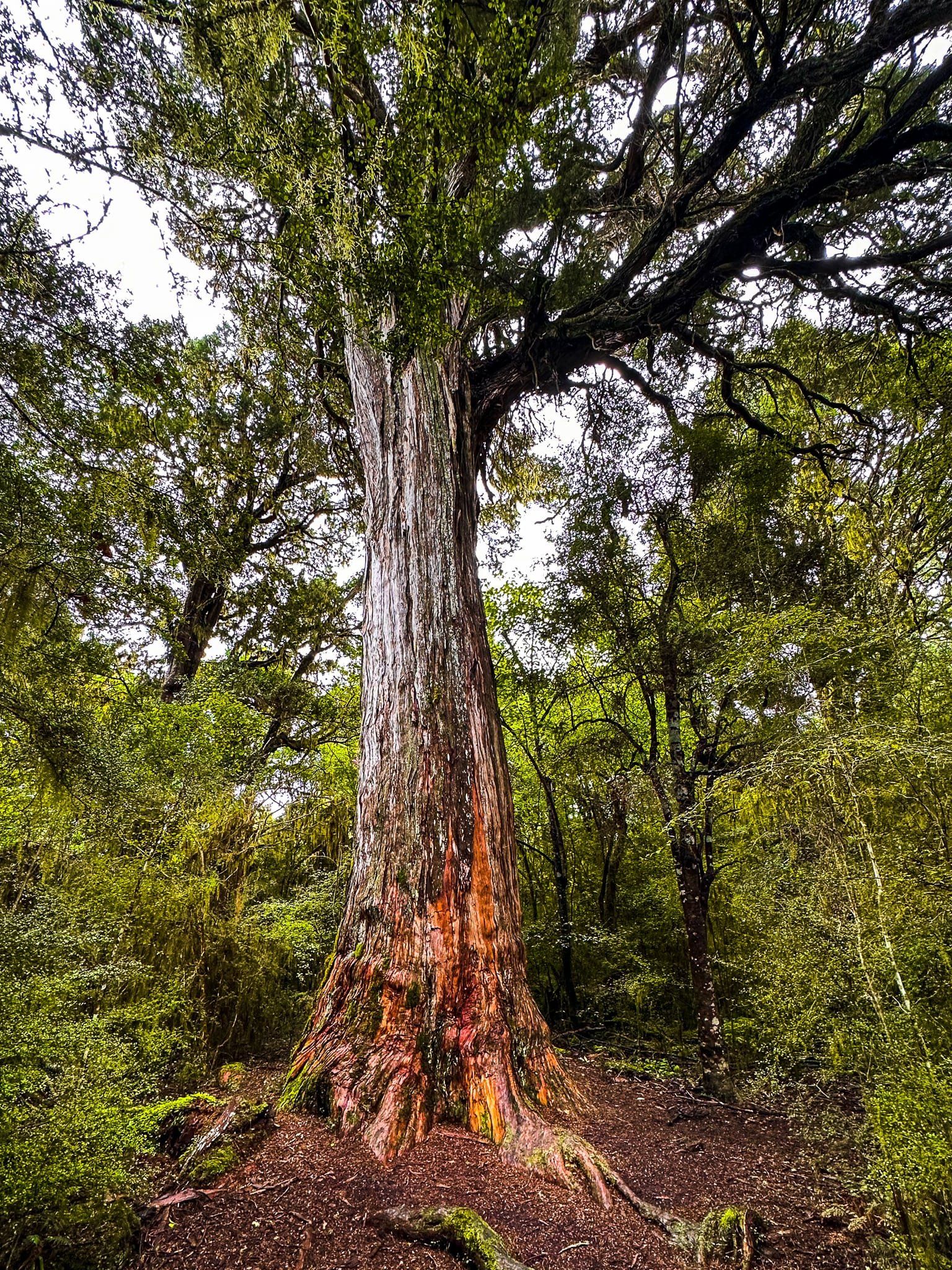
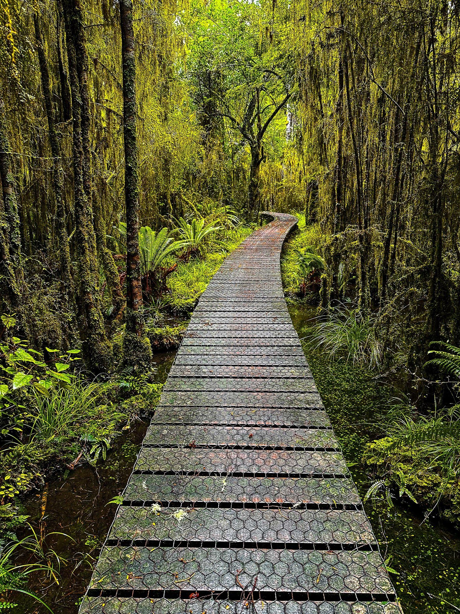
Big Totara Walk
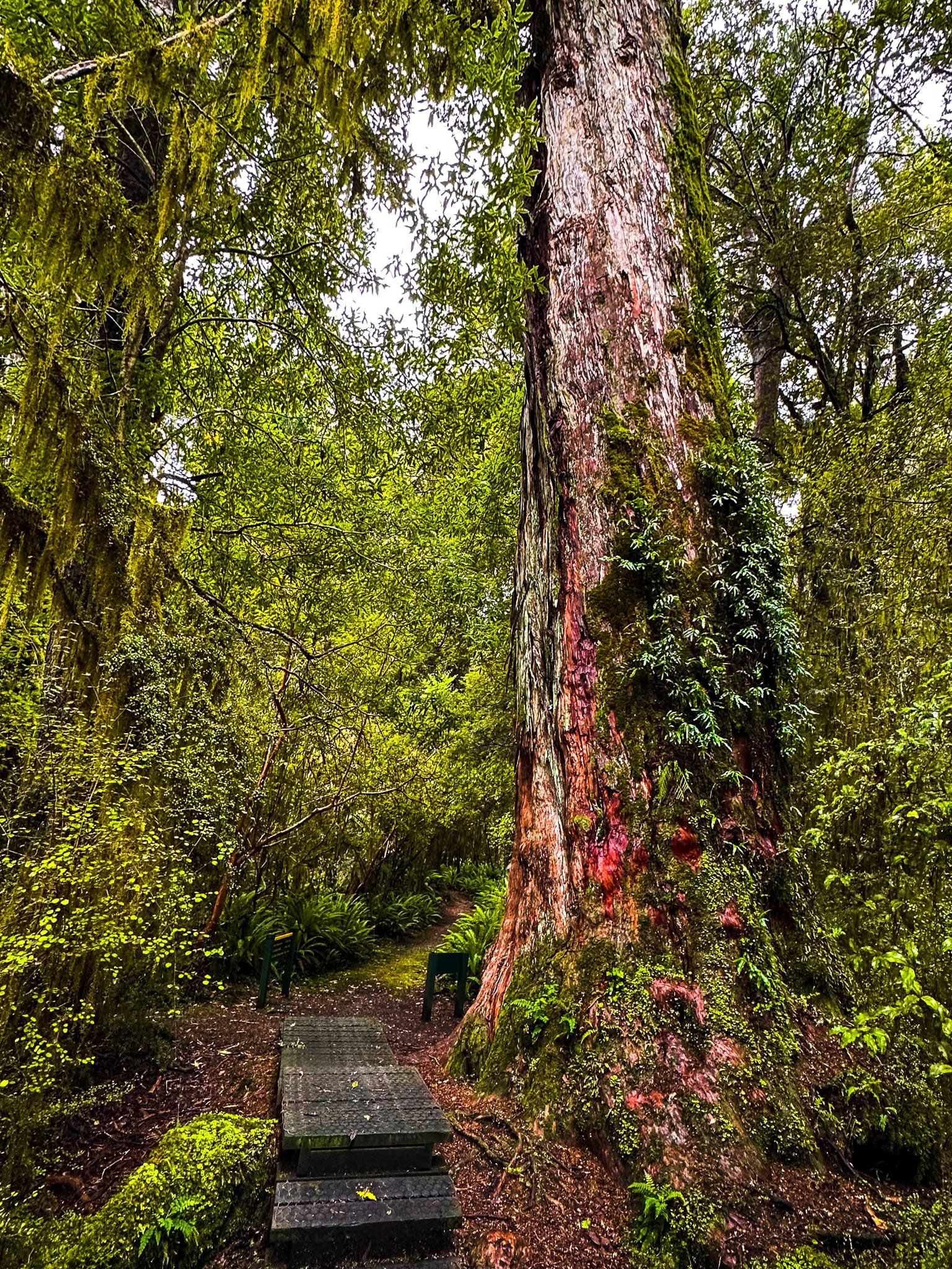
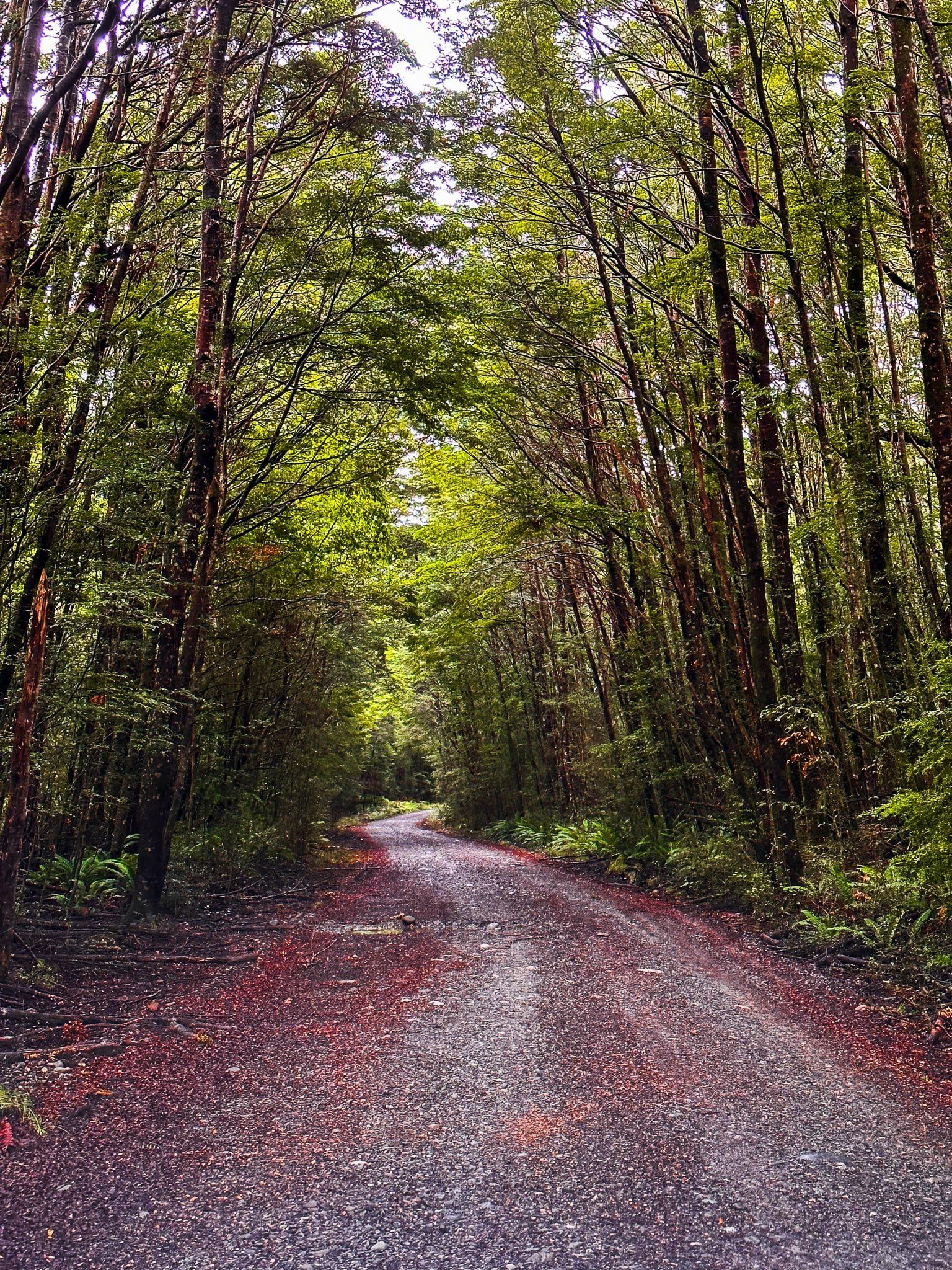
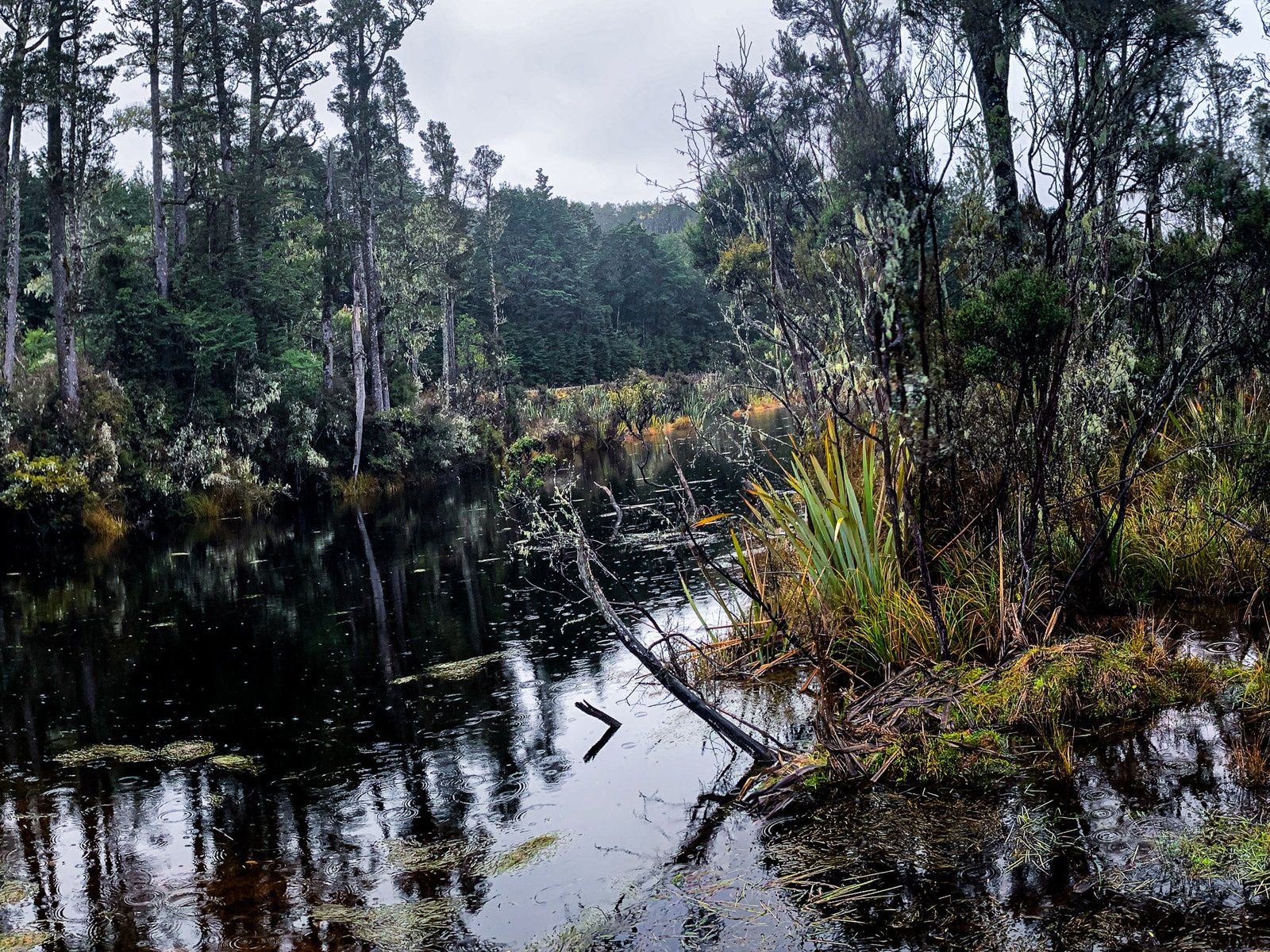
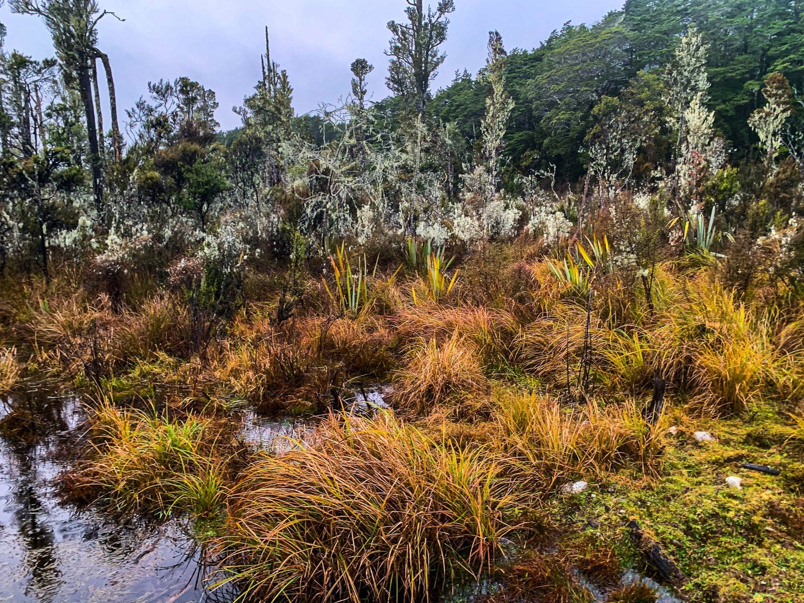
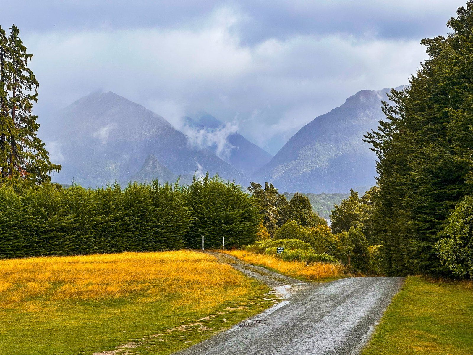
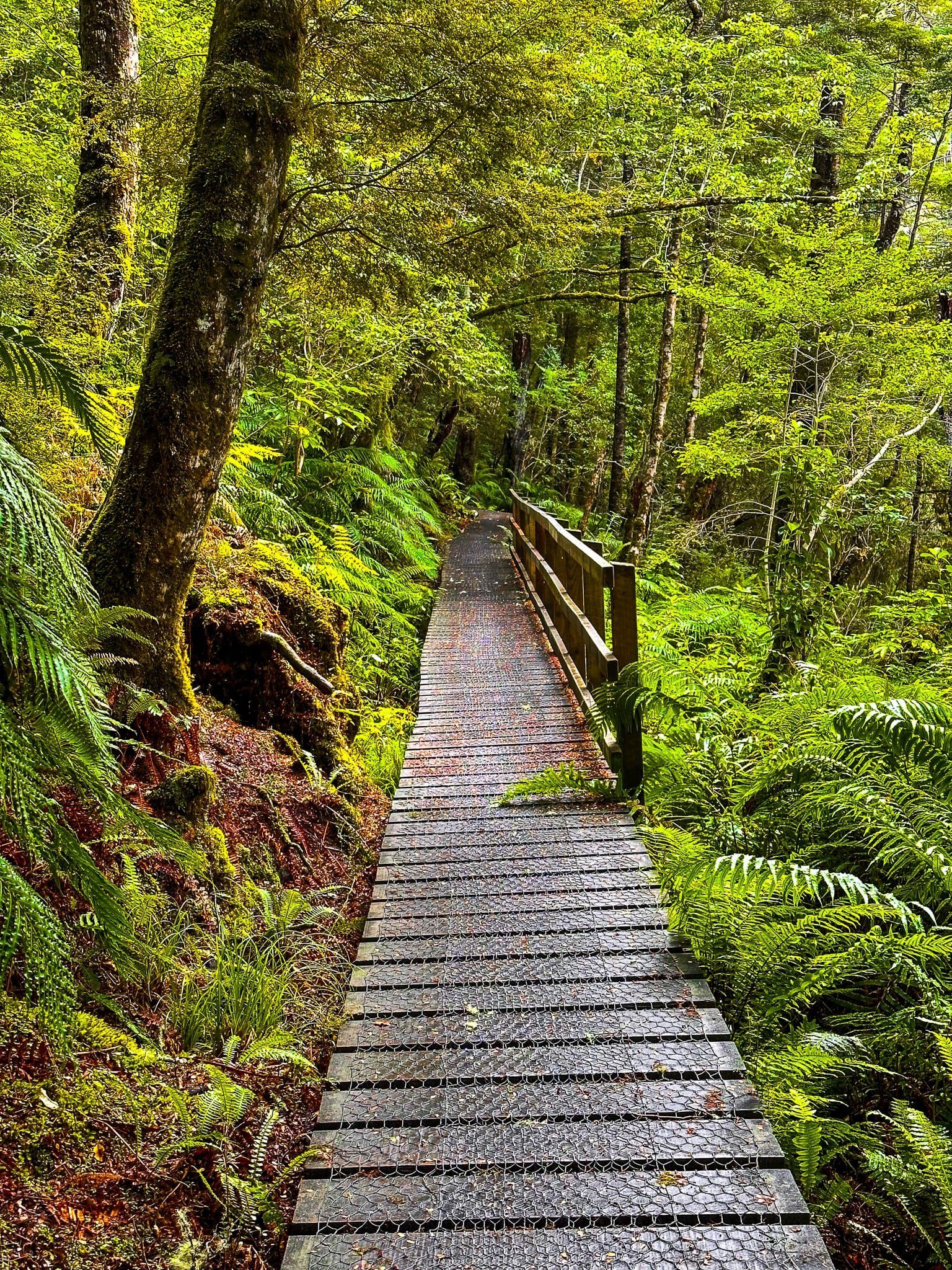
We try to avoid superlatives like “must-do”, “best walk”, “top 5” etc but the dully named Big Totara Walk is a truly exceptional short walk. It is easy to add it to a visit to Lake Hauroko as the access is along Lillburn Monowai Road, off Lillburn Valley Road about 6 km from the intersection with the Southern Scenic Route. The only downside is the distance – 17 km to the start of the track, albeit the metal section of the road is mostly flat and straight.
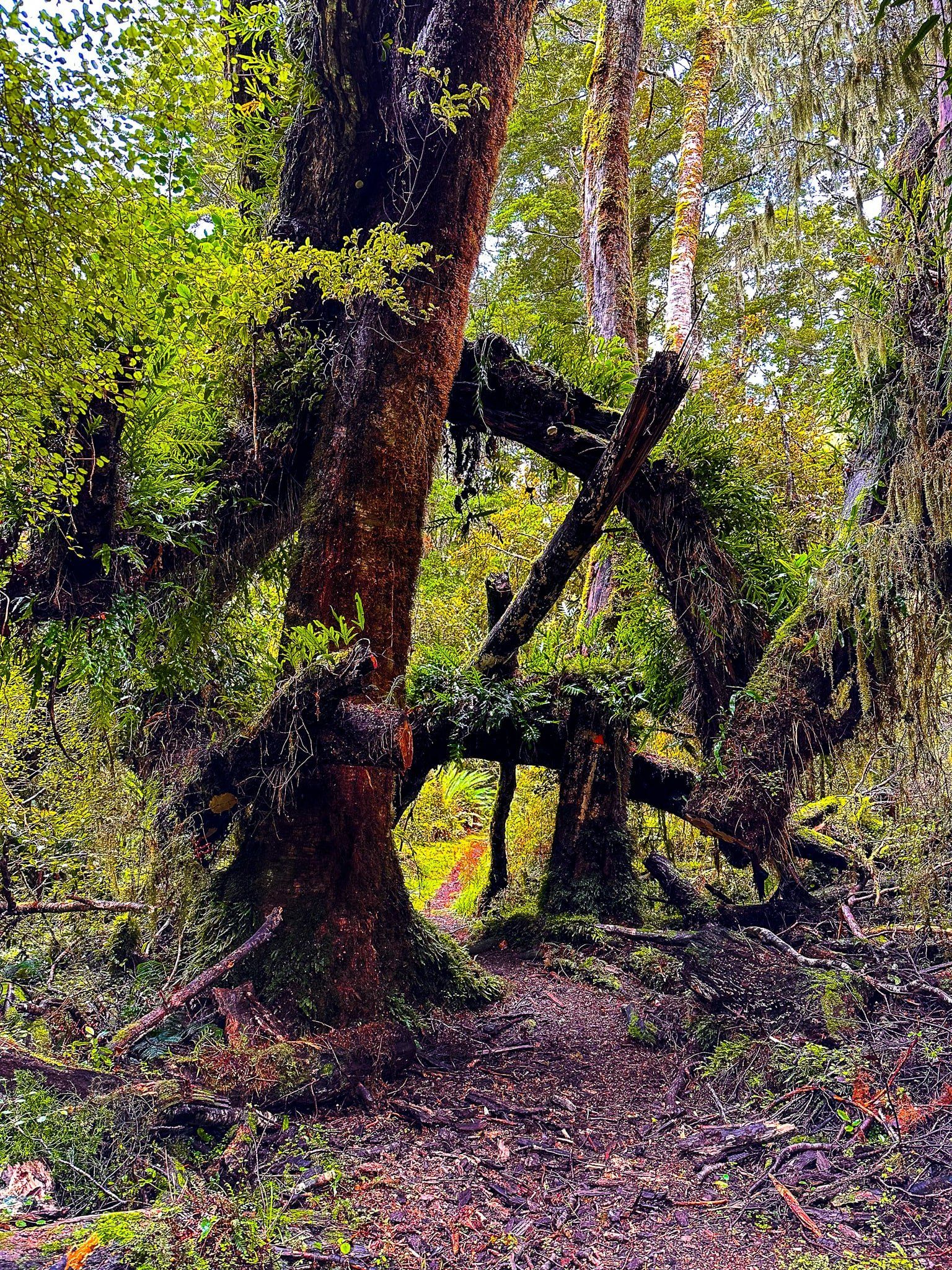
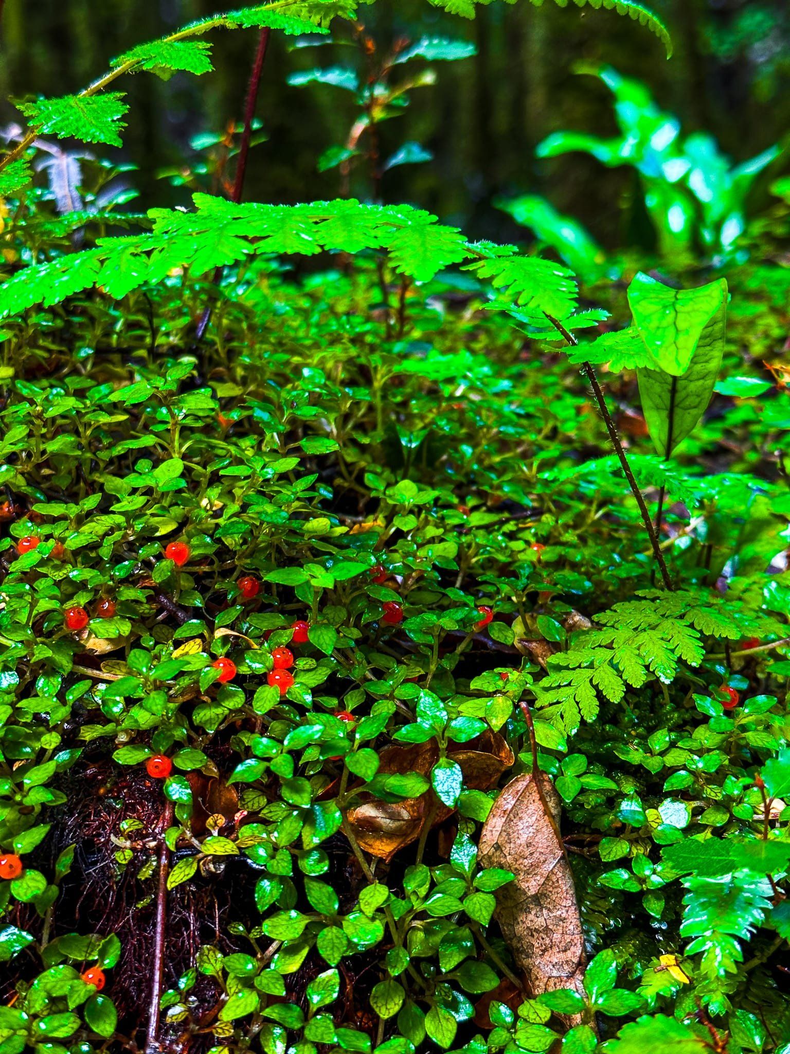
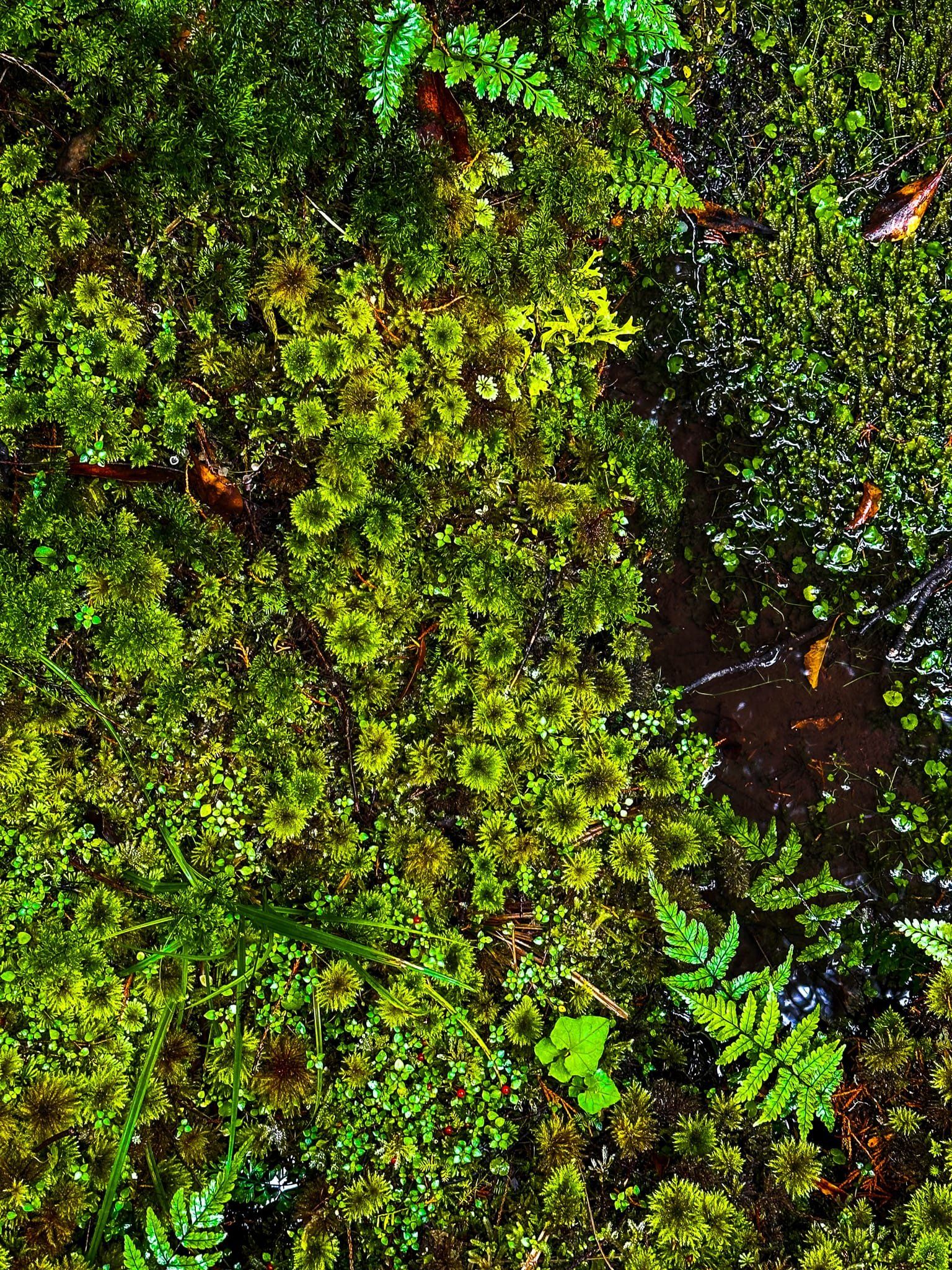
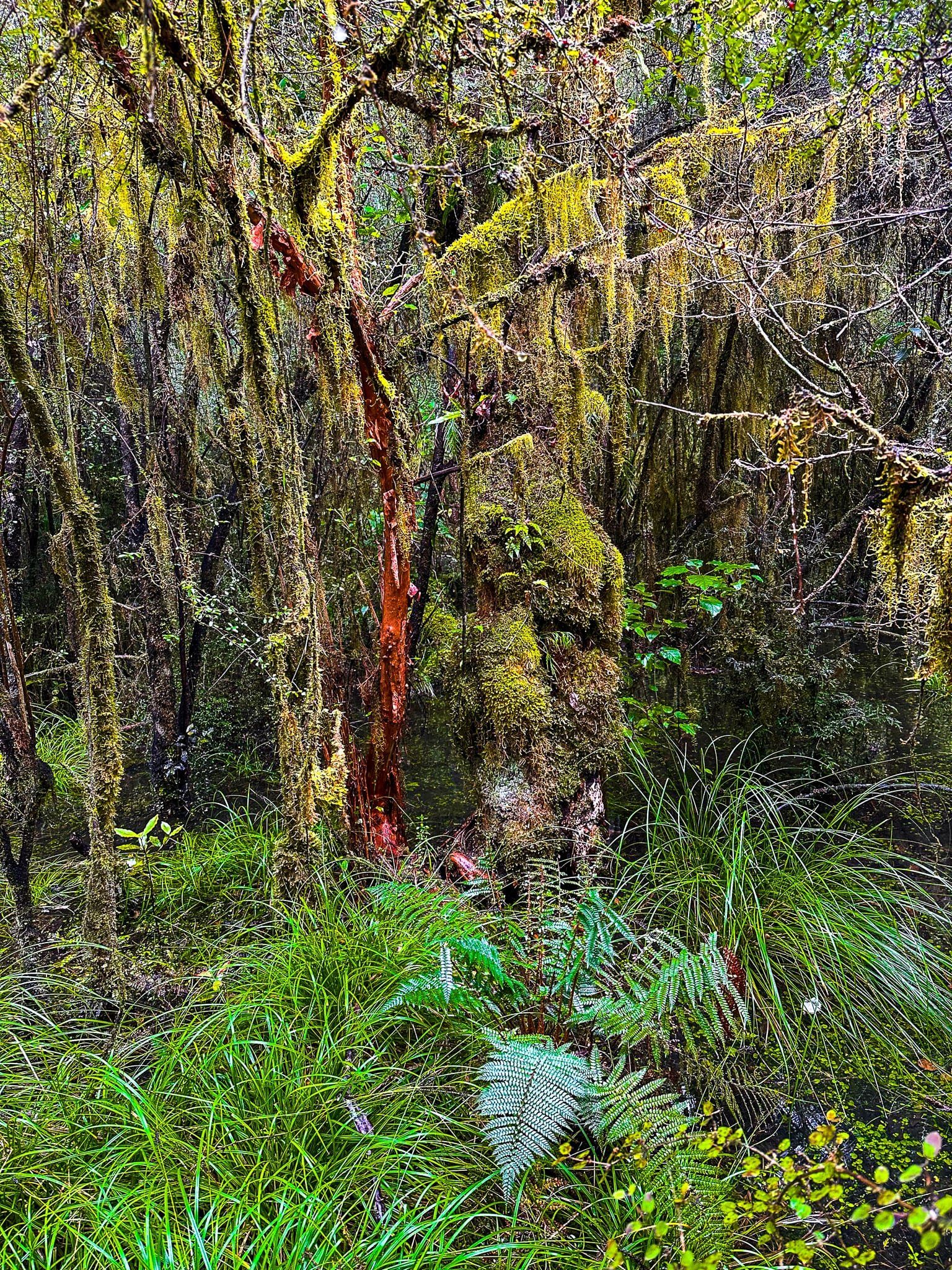
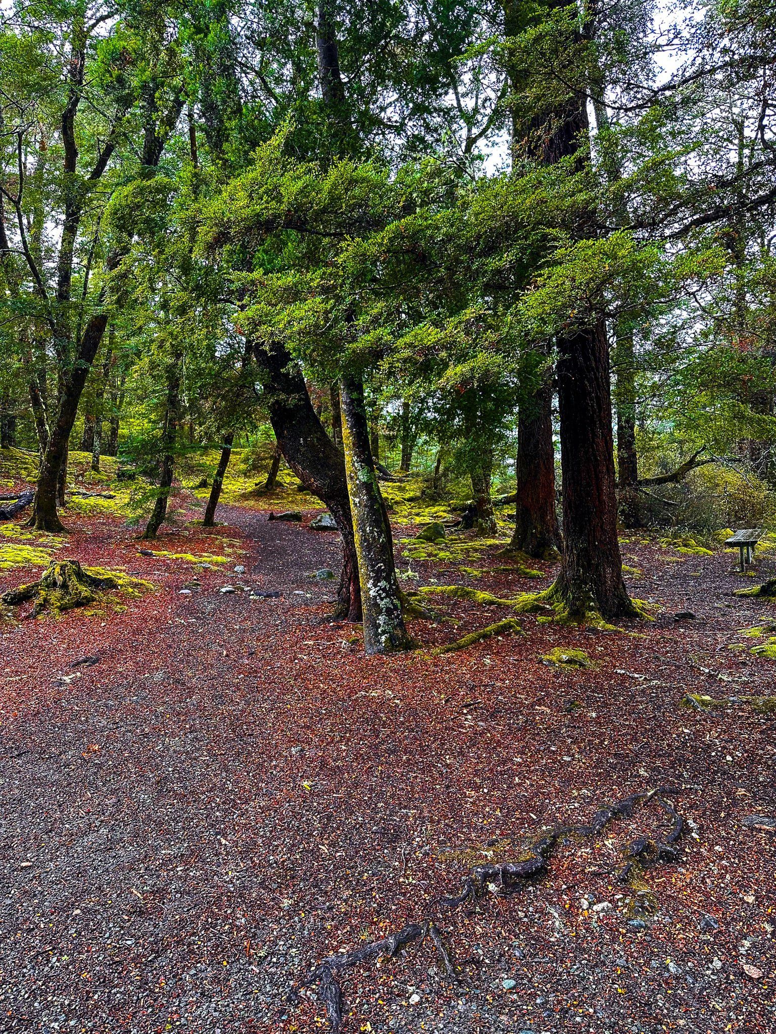
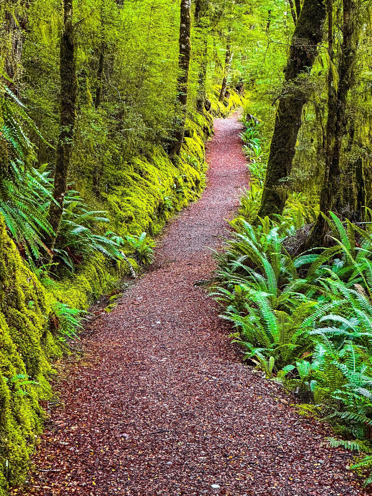
As you approach the walk, the farmland disappears and you enter into a section of beech forest that overarches the narrow road, creating a magical and surreal effect. From the carpark, it is a short walk to the track which forms a double loop around a section of swampy rainforest with boardwalks and several enormous 1,000 year old totara trees. These trees, which grow to 30 metres and have a reddish wood, used to be common in Southland; this is a small surviving pocket that was never logged. Even without the trees, the walk through the swamp and rainforest is superb and the few minutes the walk takes will easily stretch out.
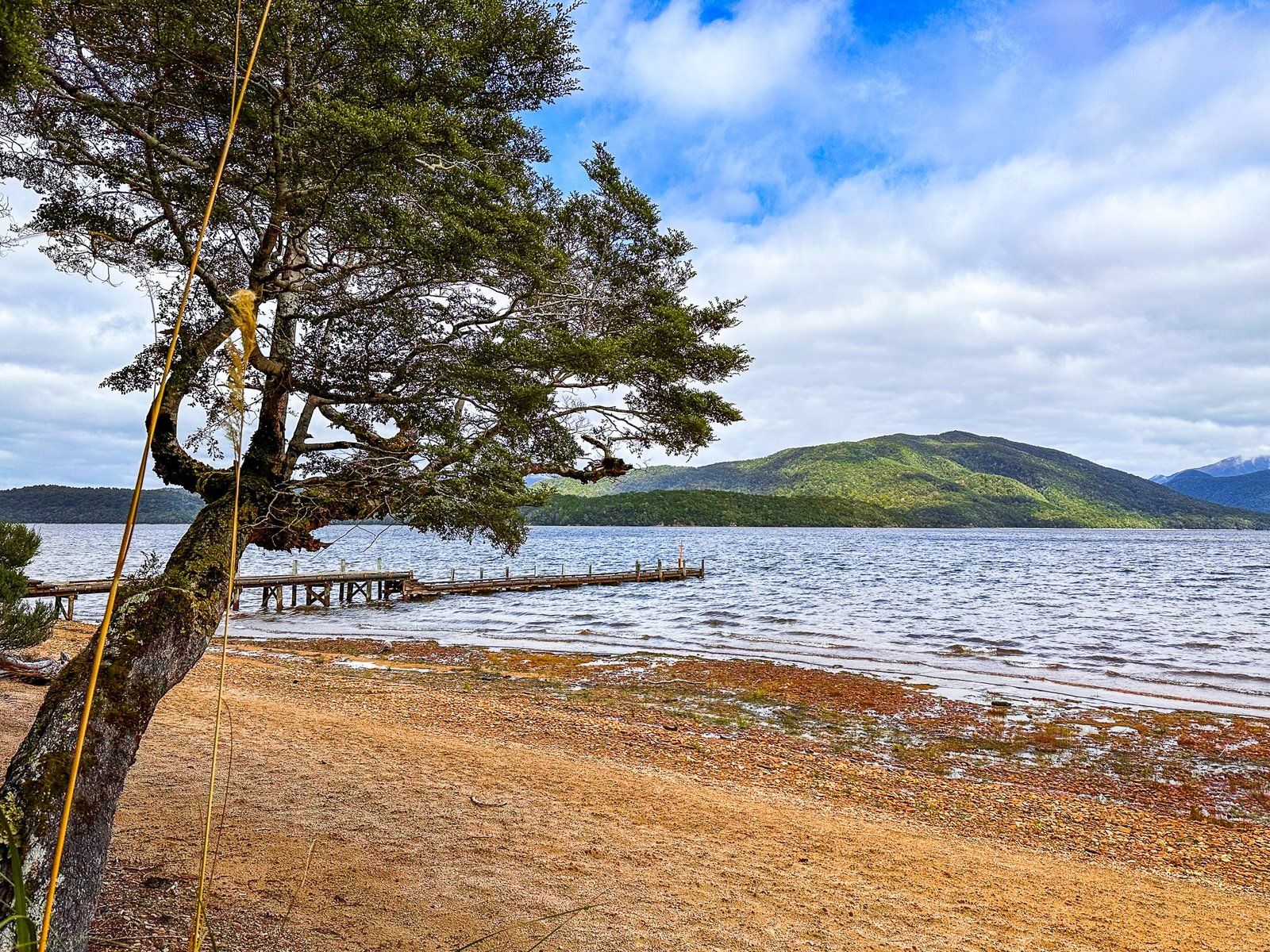
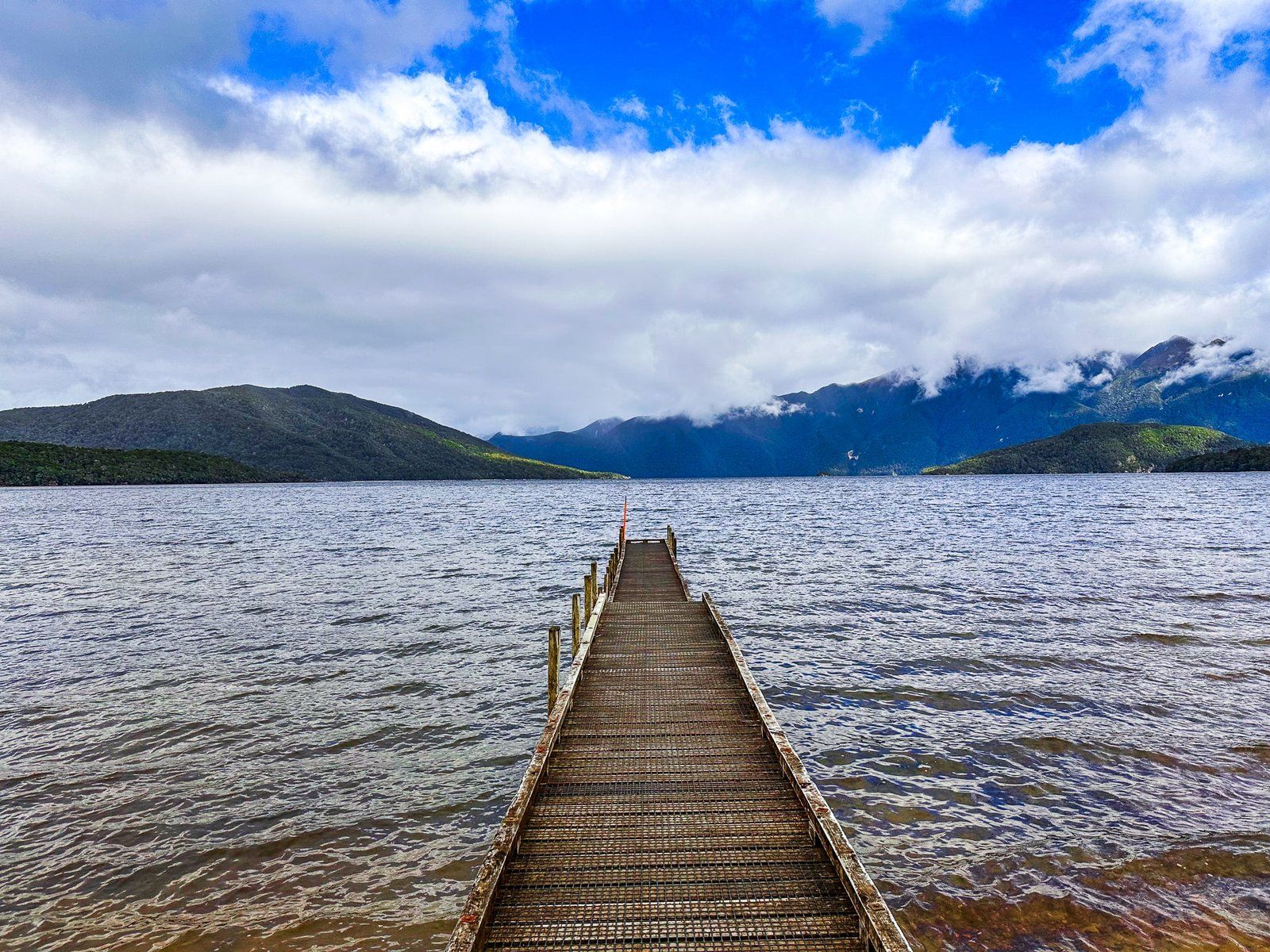
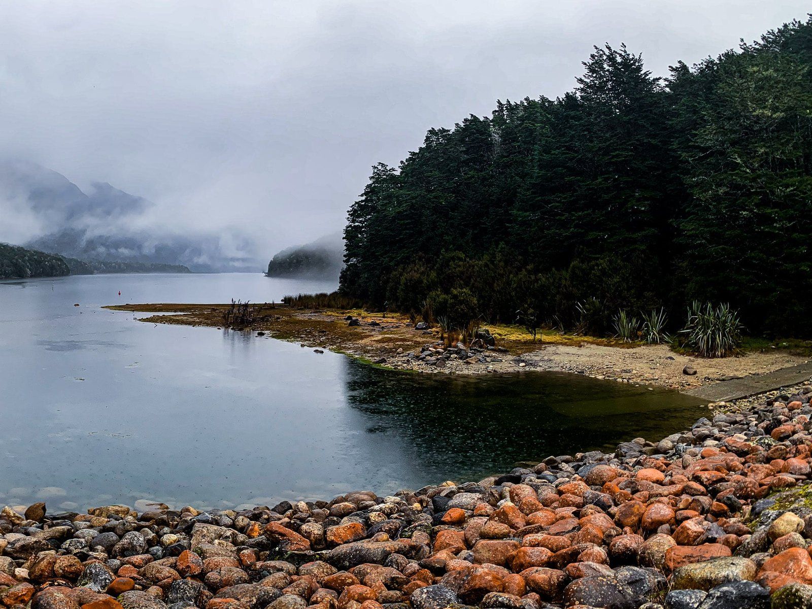
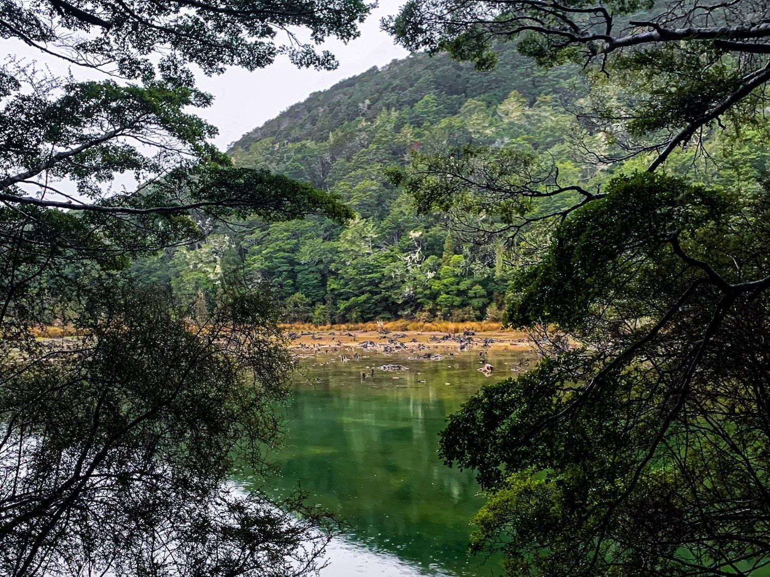
Lake Monowai
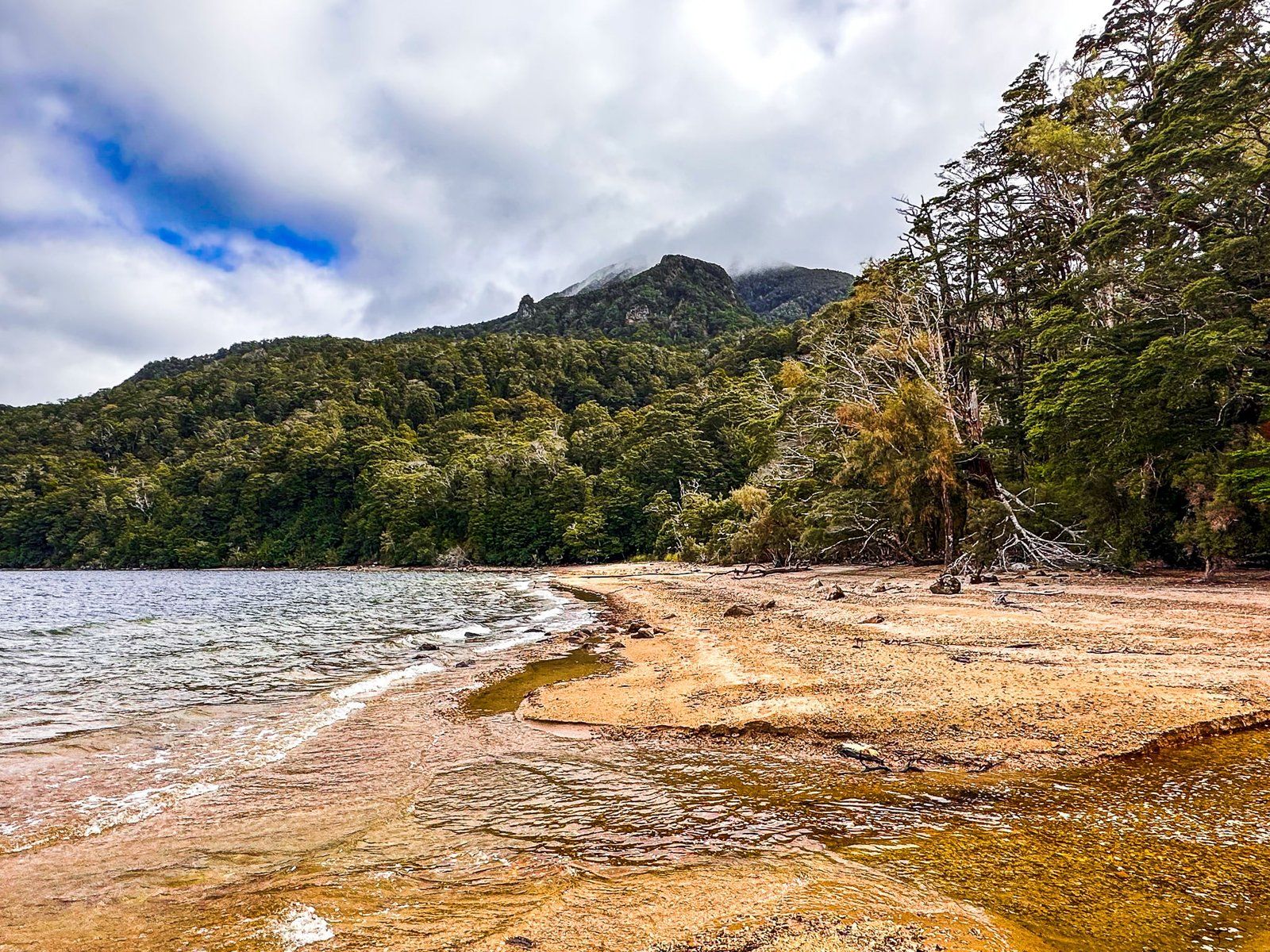
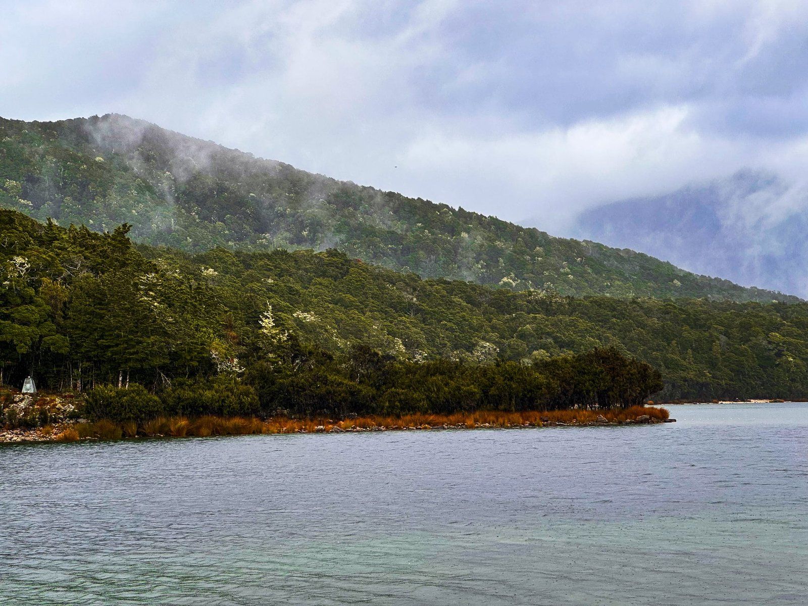
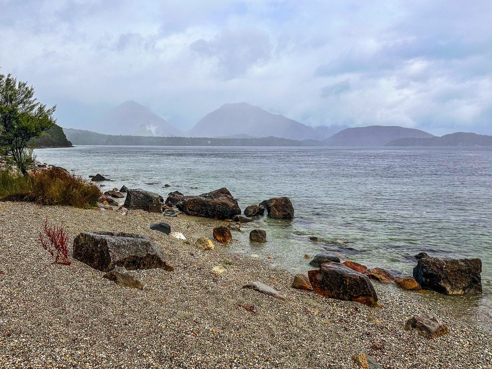
Lake Monowai is one of the more accessible entry points into Fiordland, offering hikes and a DOC campground. Lake Monowai Road is signposted about 35 km north of Clifden on the Southern Scenic Route. From there it is about 14 km to the lake, the last half of which is a well-maintained metal section.
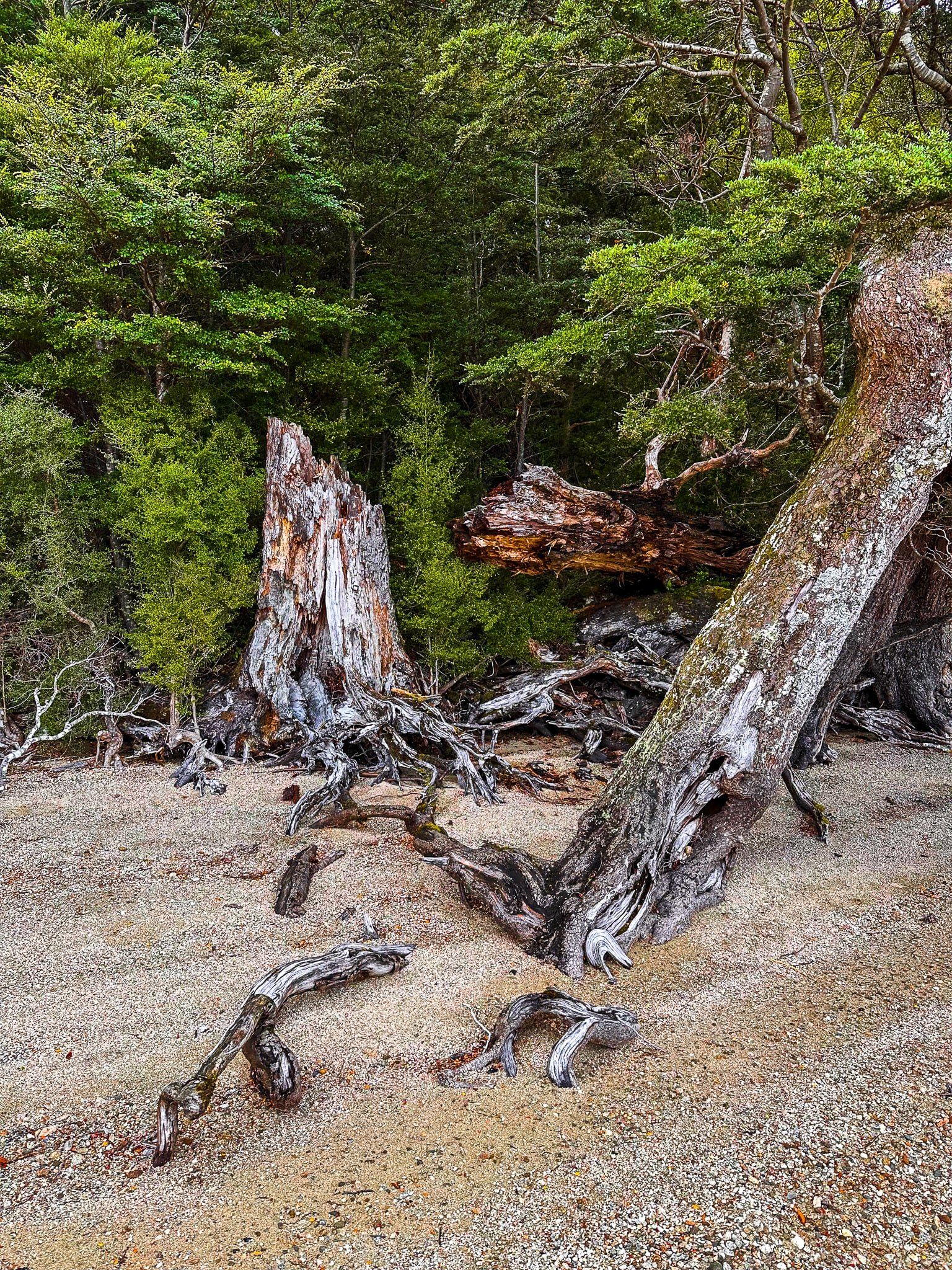
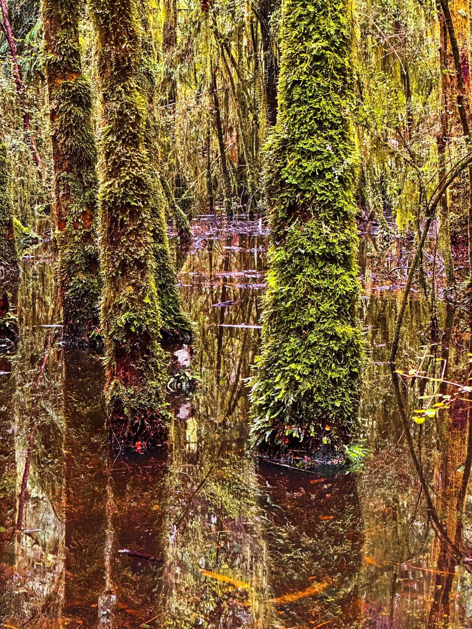
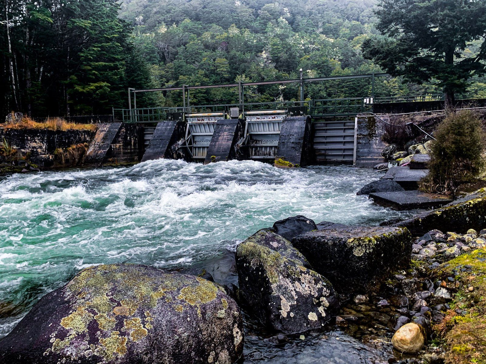
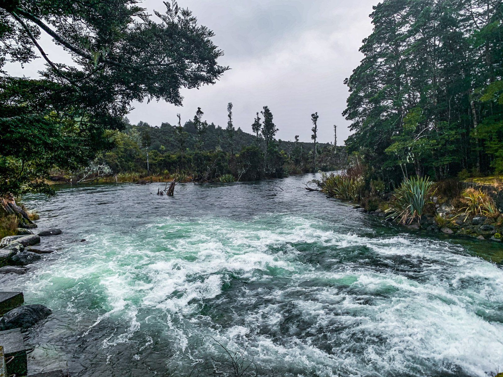
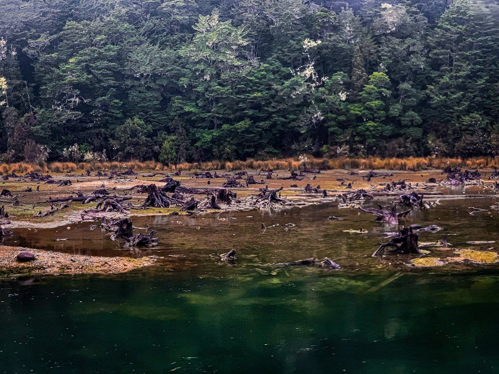
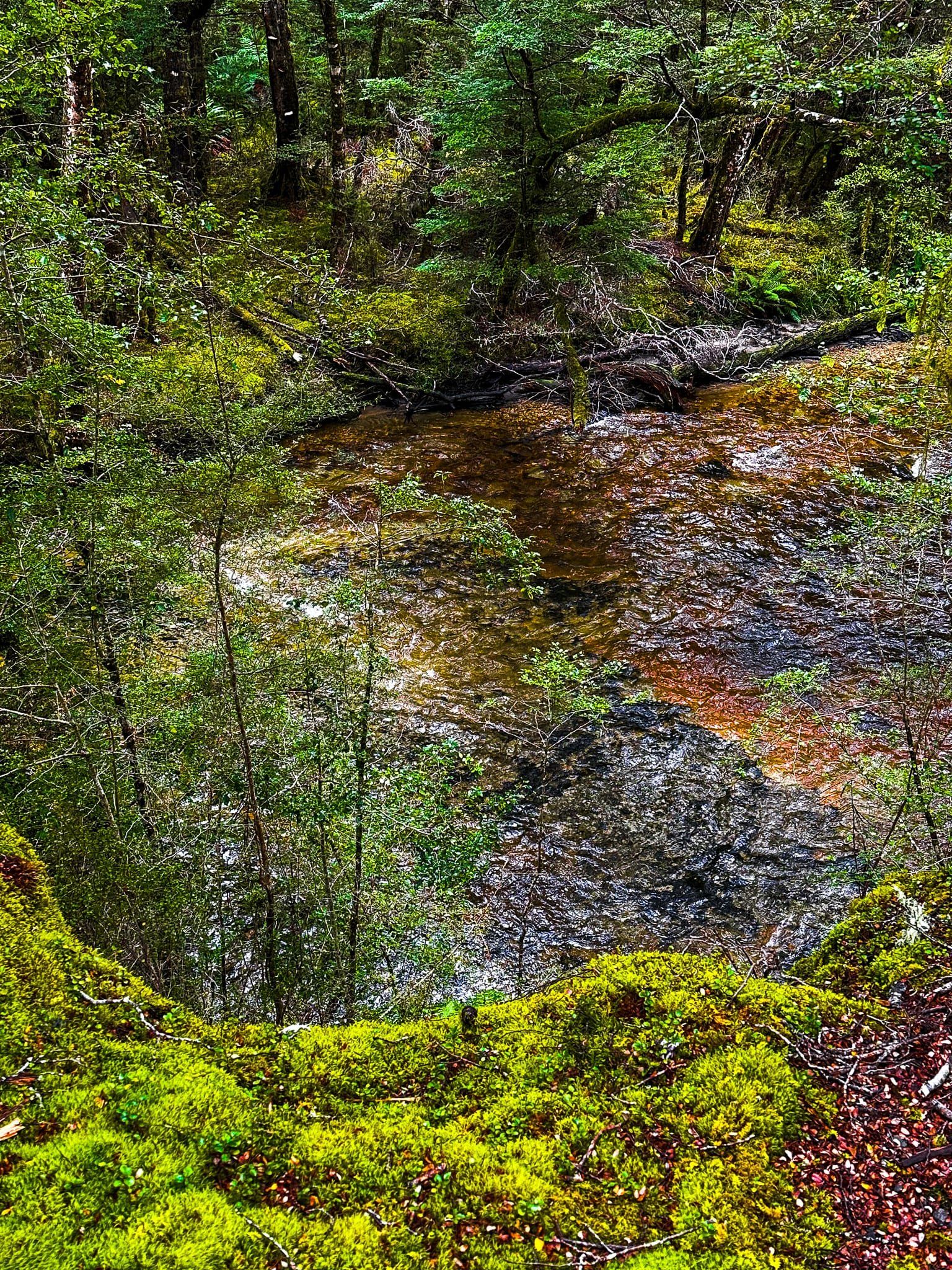
On a misty overcast day, the lake and river below the hydro control outlet has an almost prehistoric quality. A small area of forest was drowned by the raising of the lake for power generation and the stumps are still apparent. Below the lake is a quintessential “black lagoon”. The lake’s name is also a point of interest, being a corruption of the Māori “Manokiwai” by an early English explorer with inadequate language skills, who rationalised it as an amalgam of mono (one in Greek) and wai (water) to mean “one water”.
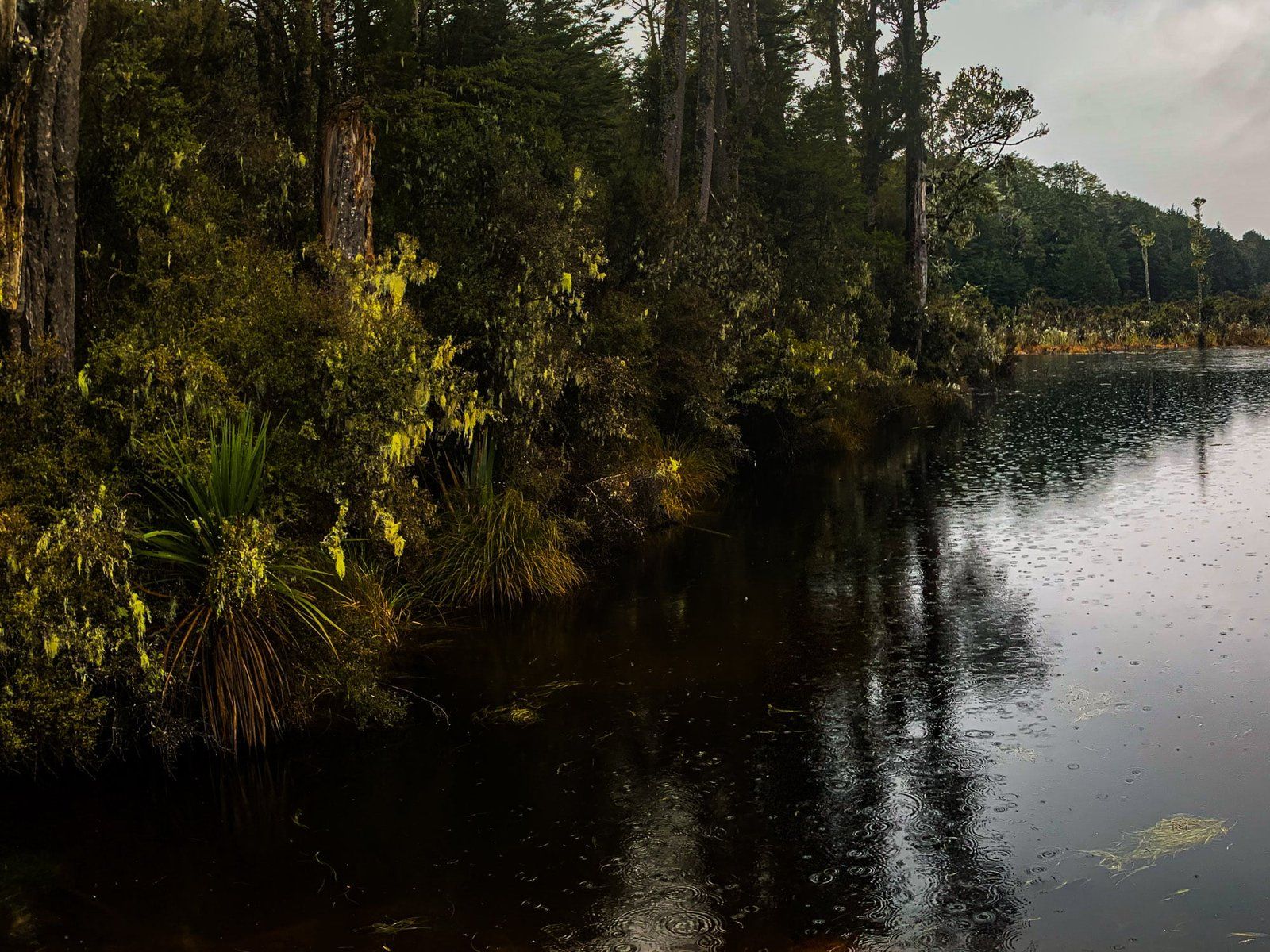
From the carpark it is an easy walk around the outlet to Monowai River. Alternatively, you can take the 1.2 km flat Monowai Lookout Track through beech forest for a better view of the lake. The Burnt Ridge Track is a longer but still easy option that takes you from the Lake to Borland Lodge on Borland Road (3 hours return). Tougher and longer tramping options include the 17 km Green Lake Track which connects Lake Monowai to Borland Road, via the Green Lake hut. Allow a full day for this walk. Another option is the 10 km Rodger Inlet Track to the Rodger Inlet hut on the west side of the lake, with another 3.5 km and 800 metre climb for views over the region.
In addition to the campground at Monowai, there is basic lodge accommodation at the Borland Lodge on Borland Road. More options can be found at the small hamlet of Monowai, established next to the power generation plant fed by the Monowai River.
Borland Nature Walk
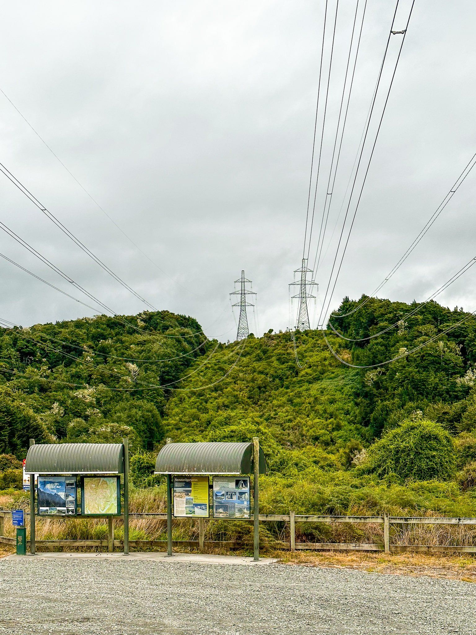
Borland Road branches off Lake Monowai Road about 7 km from the intersection with the Southern Scenic Highway. The road initially supported the high voltage power line pylons that connect the underground Manapouri power station to the Comalco aluminium smelter at Bluff. Today, it also provides access to Fiordland National Park, Lake Manapouri, and several tracks, including a remote 4WD-only road to a campsite at South Arm.
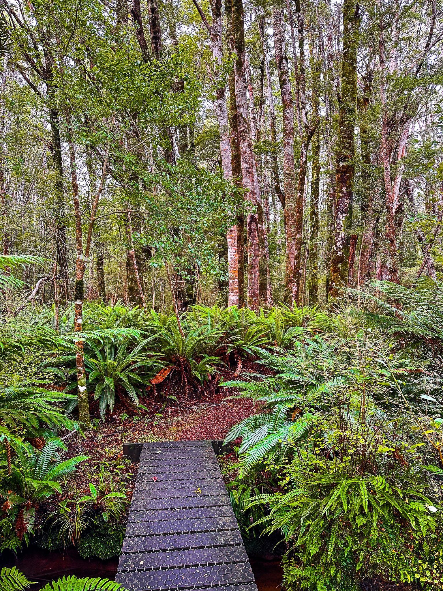
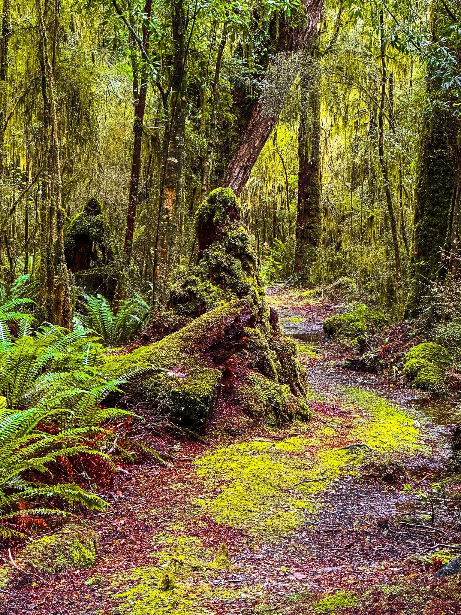
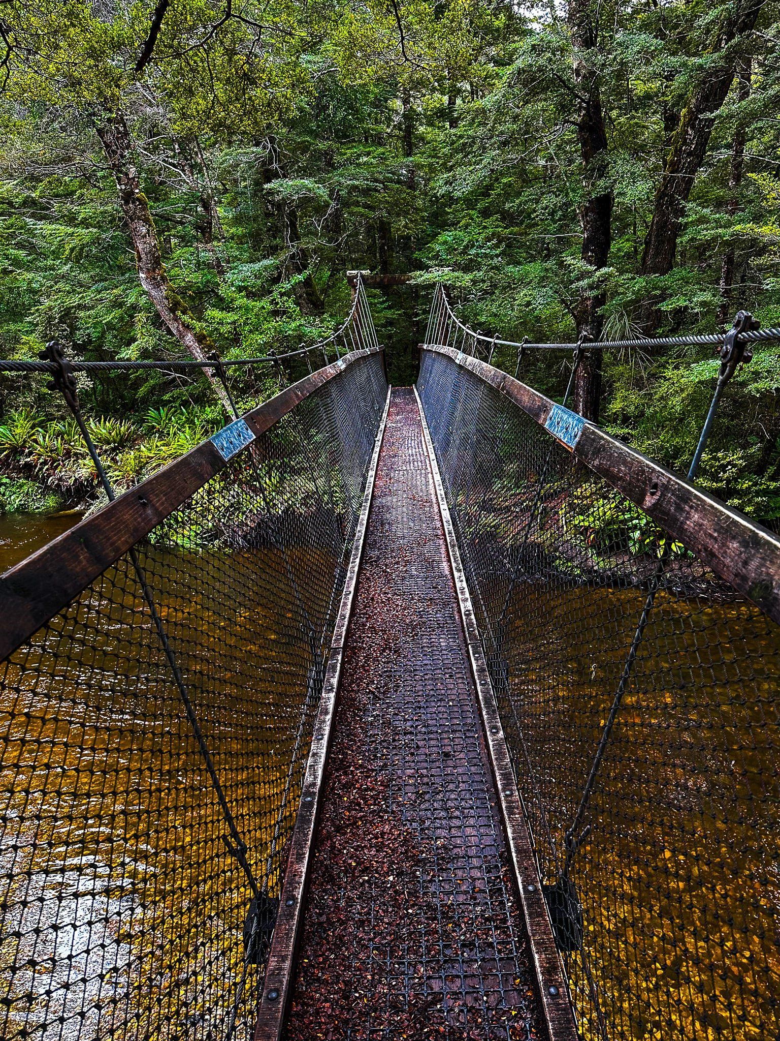
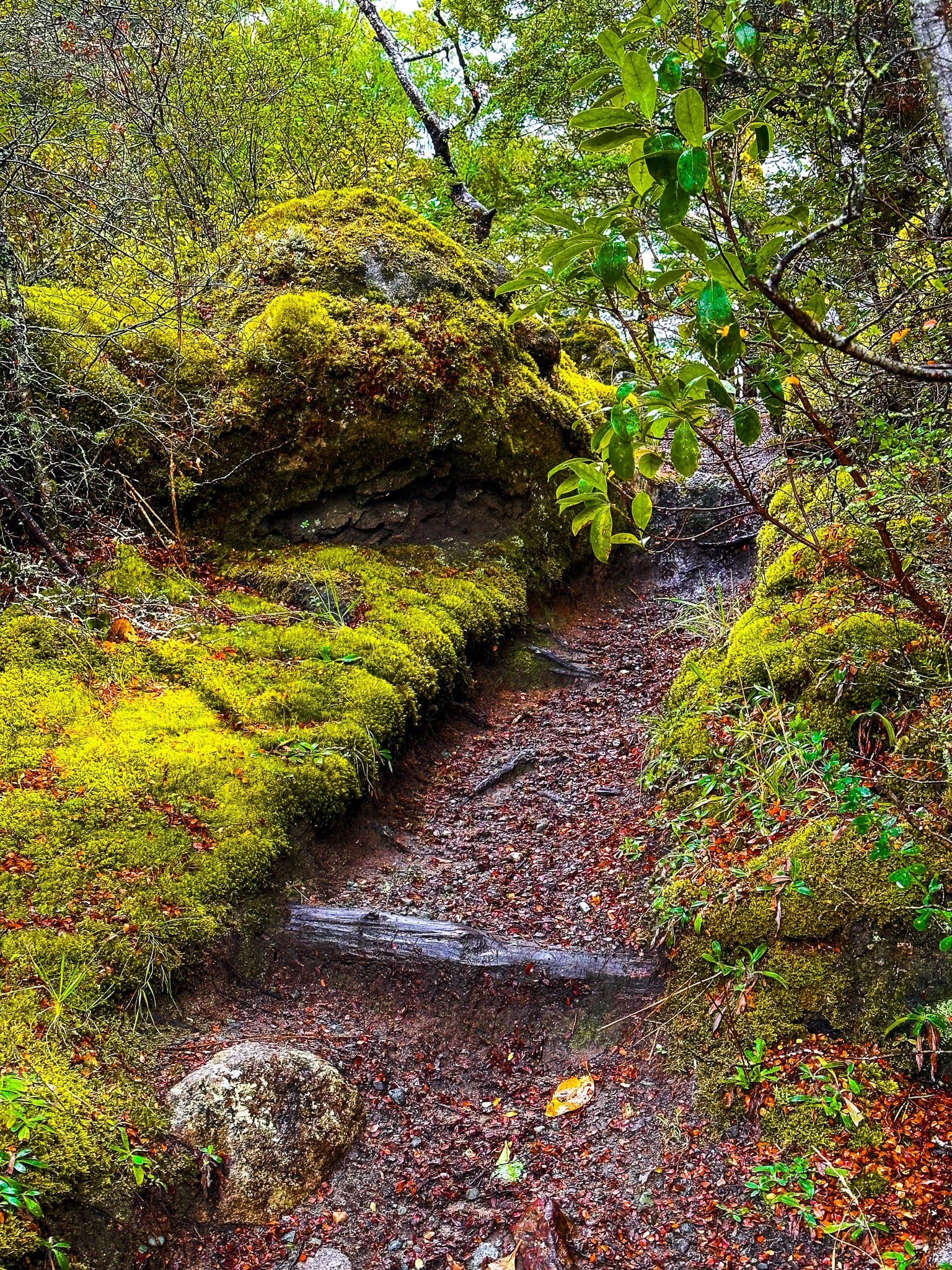
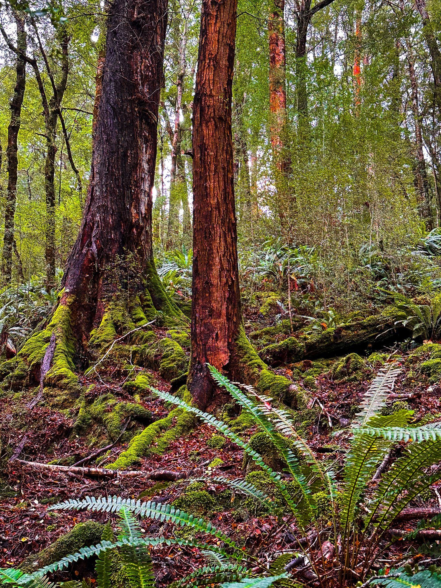
From the intersection with Lake Monowai Road, it is a short drive to Borland Lodge, which offers a range of basic accommodation below the power pylons. The Burnt Ridge Track to Lake Monowai starts by the Lodge. Alternatively, continue past the Lodge to the Borland Nature Walk, consisting of a short walk down to a swing bridge over the Borland Burn and a loop through beech forest.
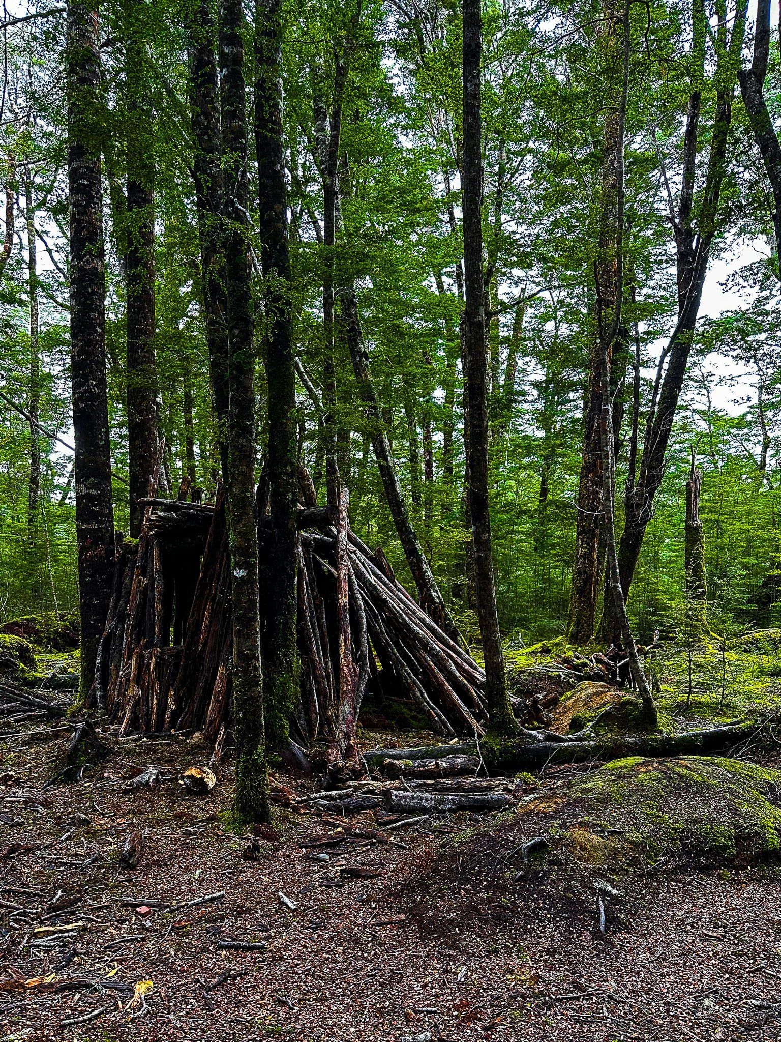
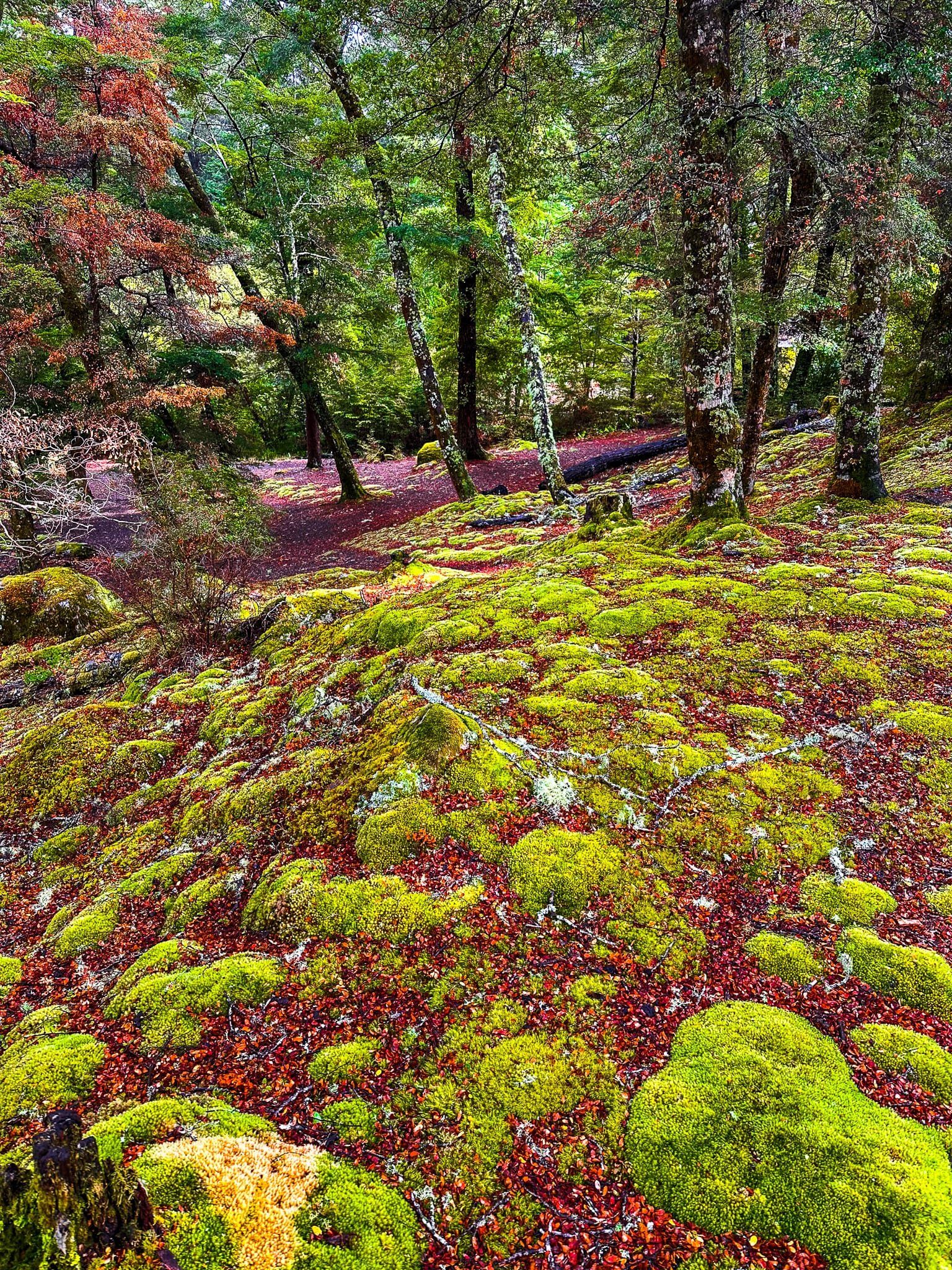
At the start of the track, you will see the influence of children, with a number of lean-to huts made from fallen branches amongst the trees. After that, it is an easy stroll through mature beech forest, sometimes alongside the burn. The ground is covered by intensely green moss and colourful beech tree leaf litter, and information panels describe the flora and fauna present.
The walk also connects with the South Borland Track which follows the Burn for several km, then climbs back up to Borland Road. Or you can continue on a tramping track to the North Borland Hut, a total of 12 km and 6 to 8 hours.
Green Lake Track
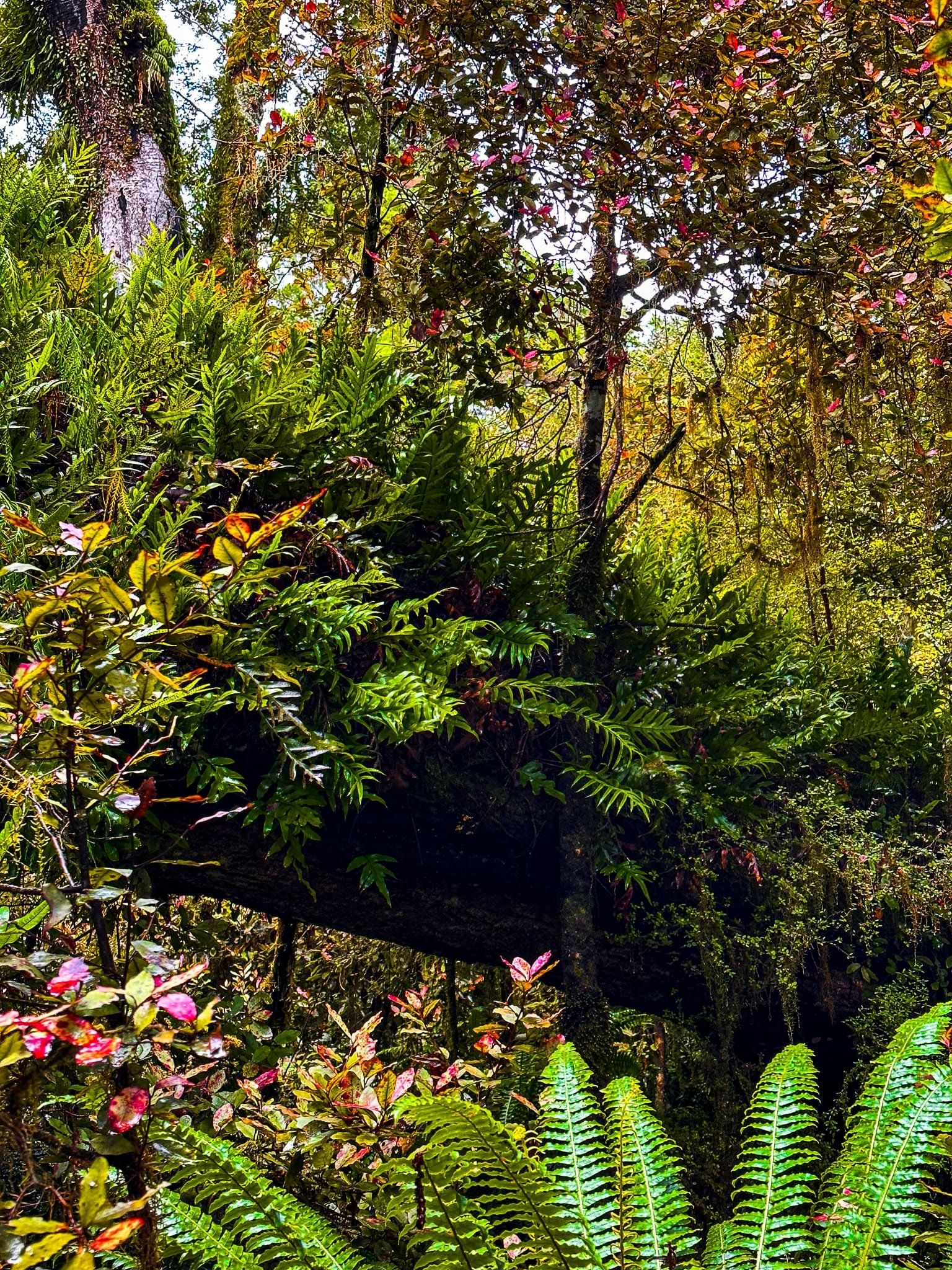
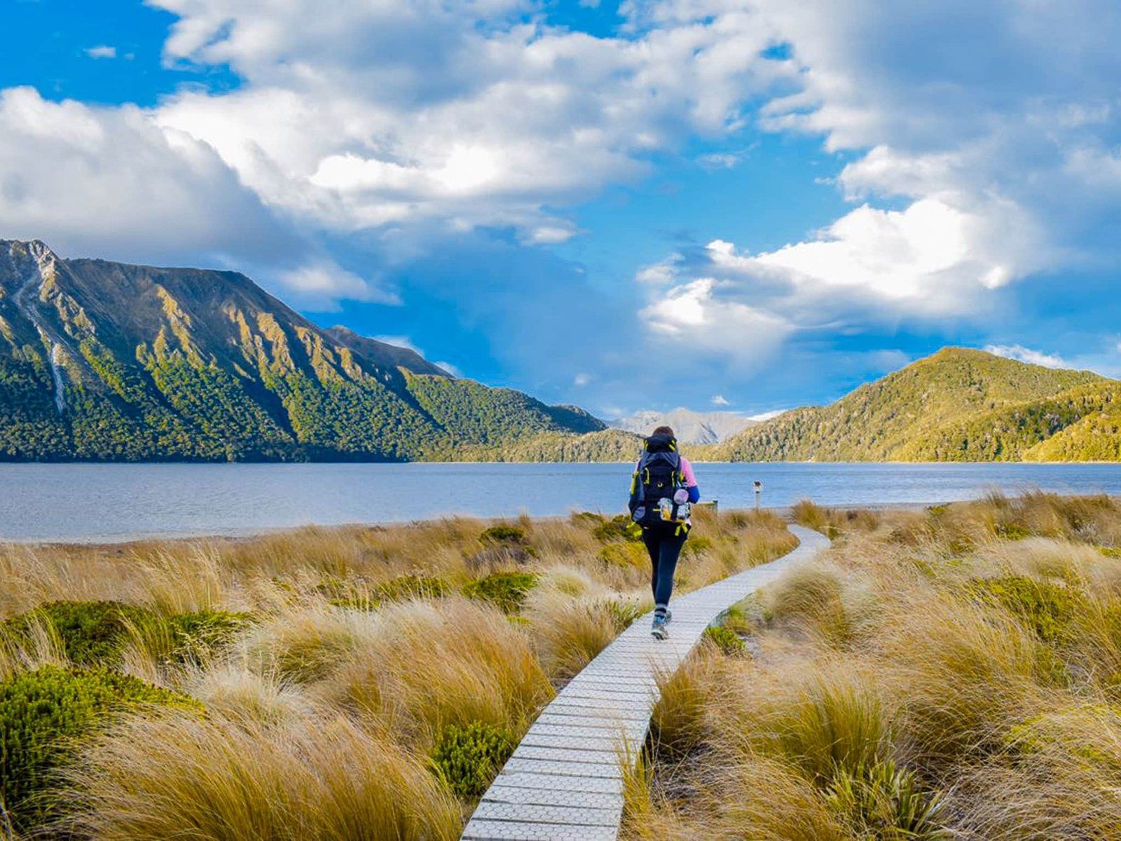
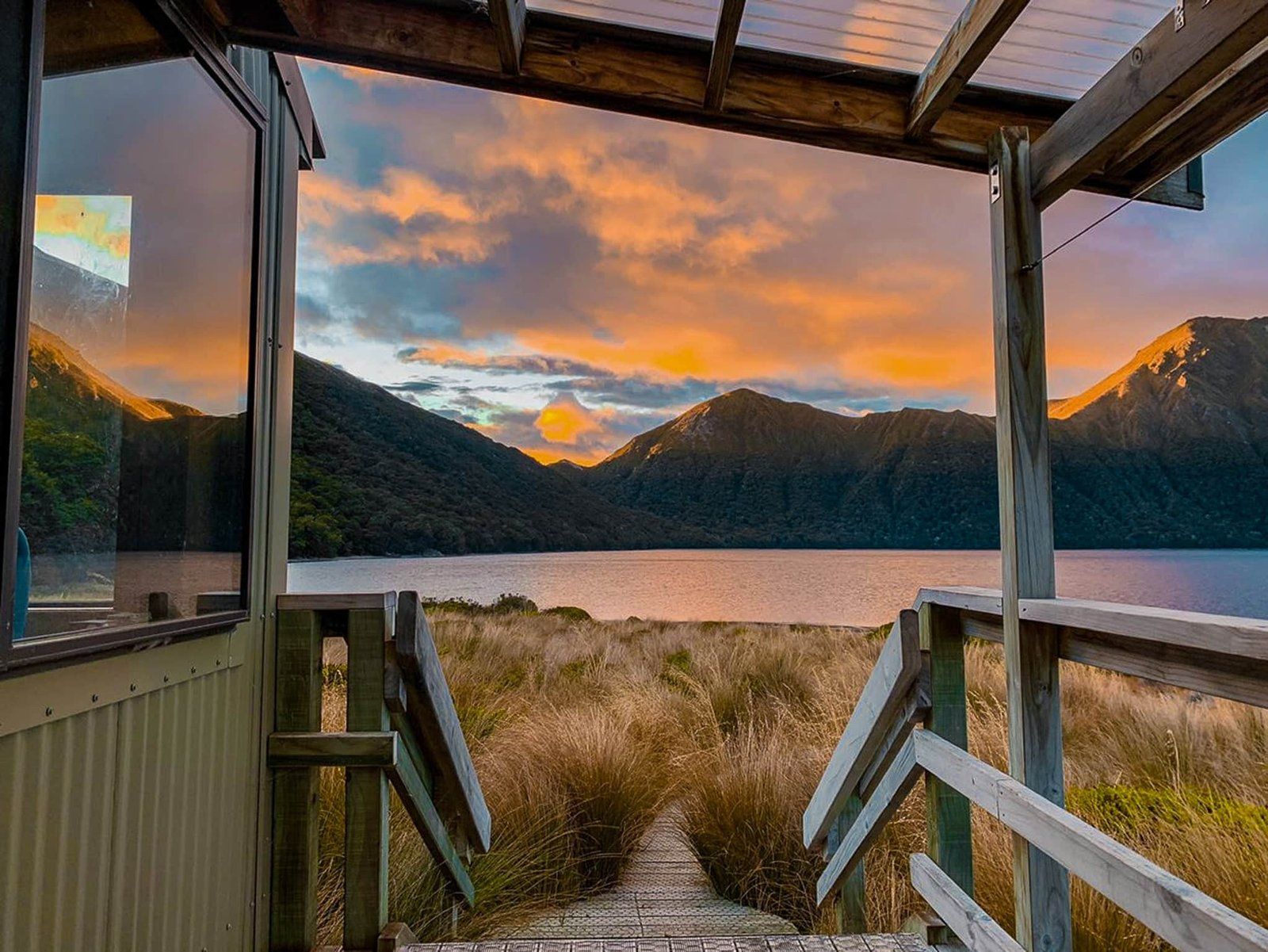
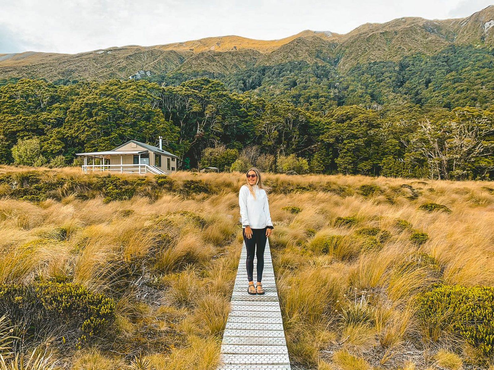
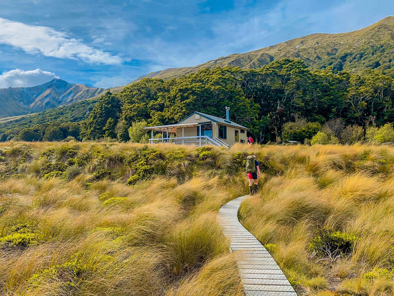
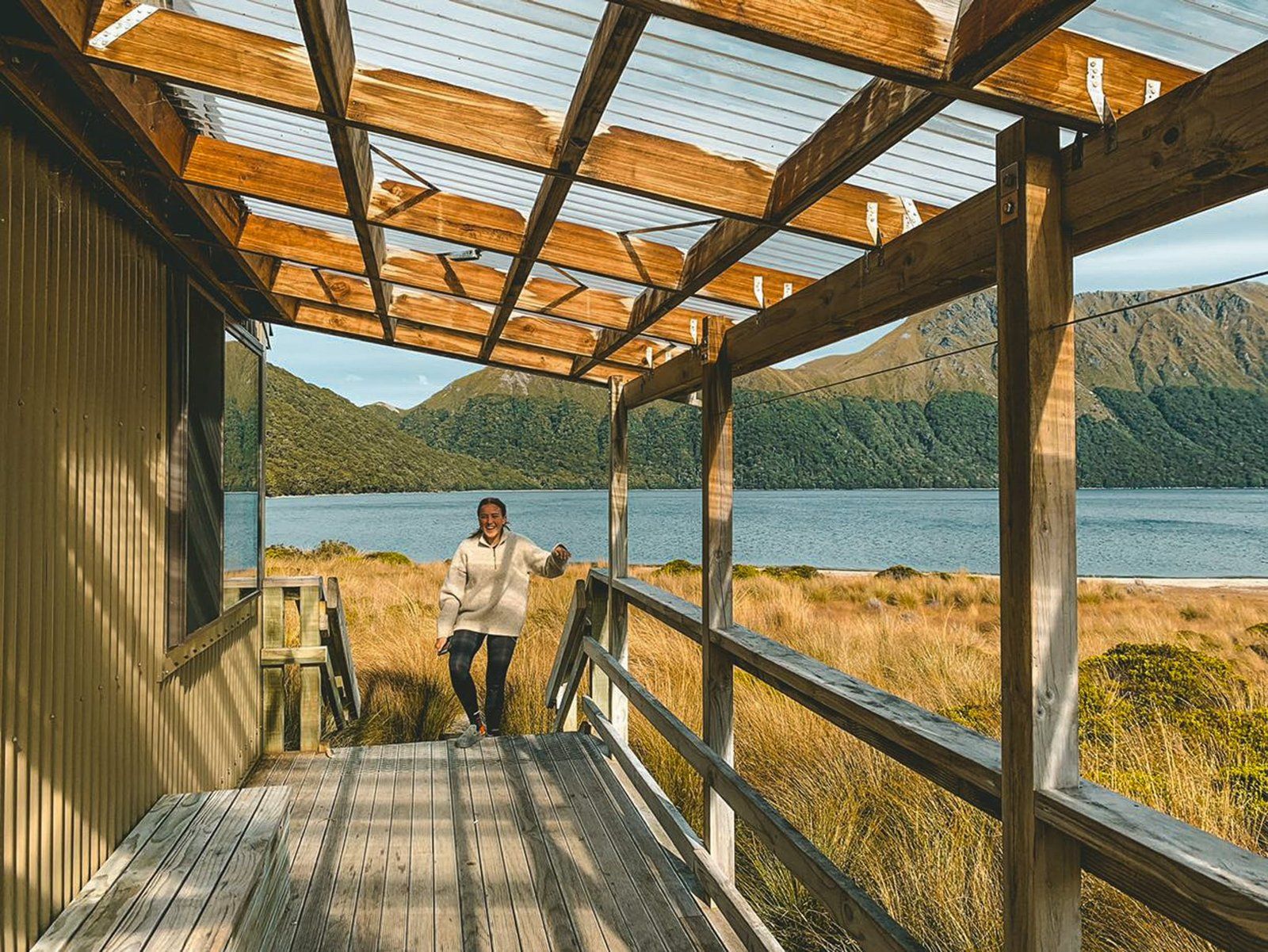
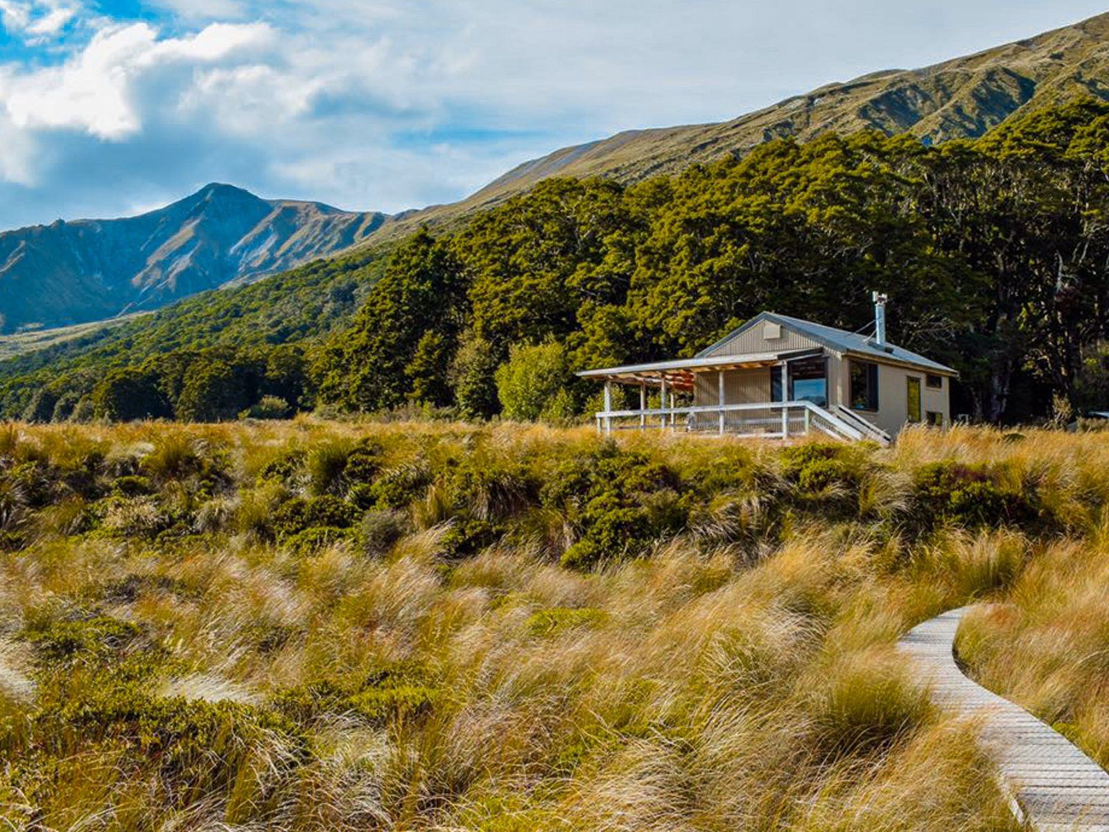
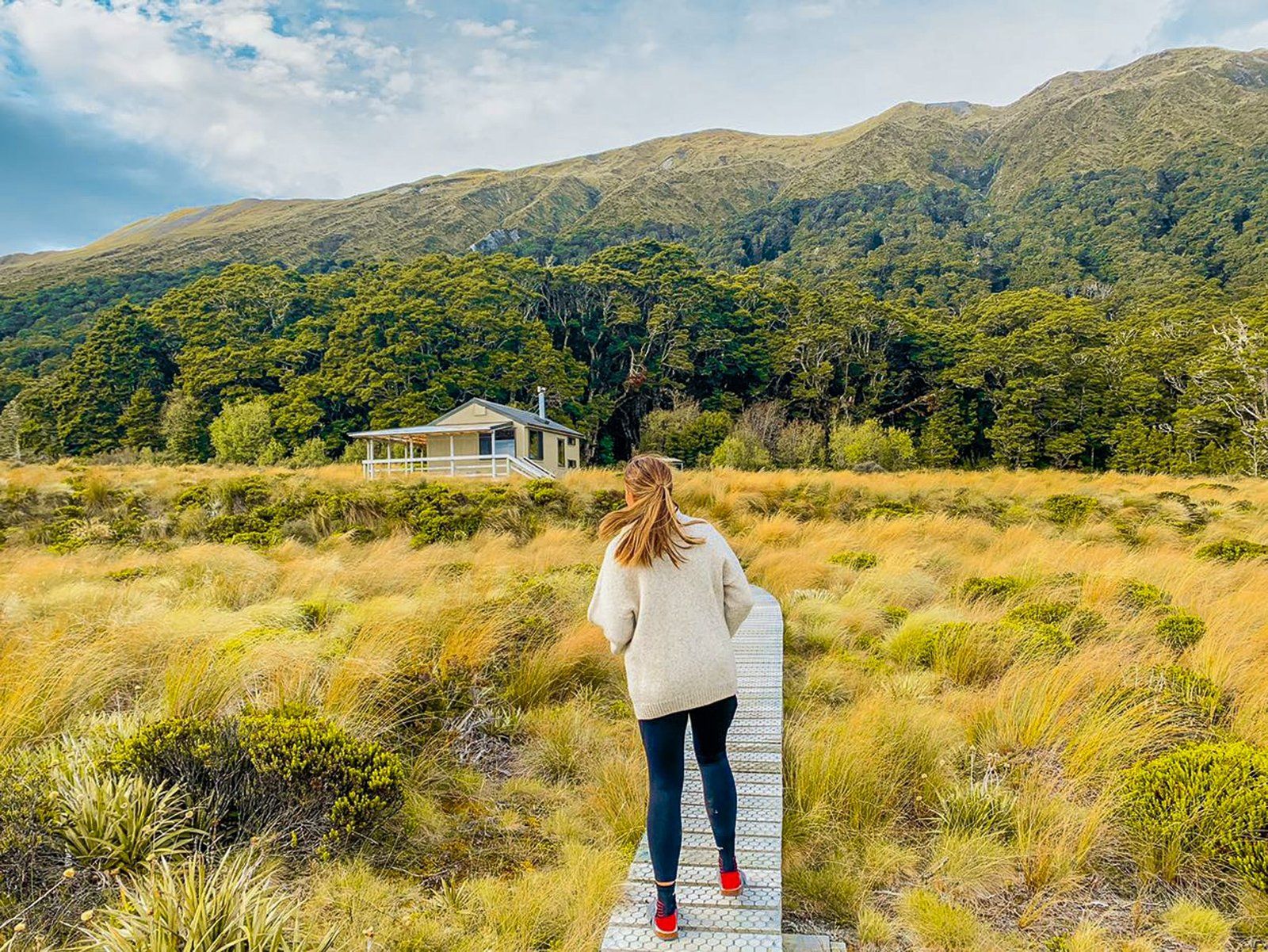
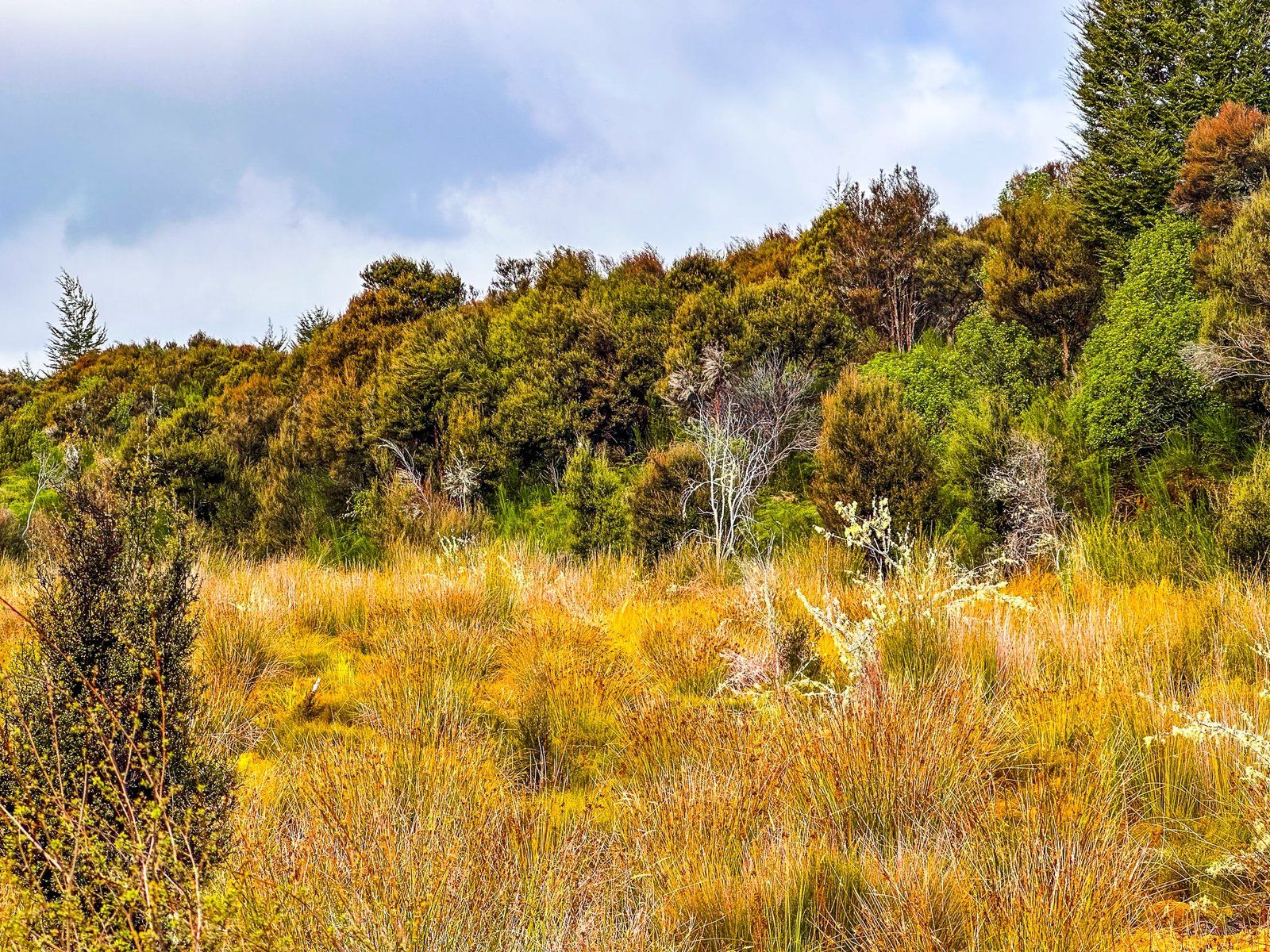
The Green Lake Track in Fiordland is a 17 km tramp from Lake Monowai to Borland Road. It takes in the Green Lake and the Green Lake Hut (DOC) at over 800 metres. The lake is flanked by peaks of up to 1,400 metres, resulting in a truly mountainous experience. You can do it as a day walk to the lake and back, or arrange transport at the other end with or without an overnight stay at the hut.
Starting from Borland Road at 780 metres above sea level, the track passes Borland Bivvy and then mostly flat areas of high country tussock and small lakes. This is followed by beech forest on a saddle before more tussock. The track is mostly easy, but as you get closer to the lake, there is a reasonably sharp 250 metre climb through beech forest. The climb terminates at a 929 m highpoint before dropping back down to the lake at 800 metres. Total distance is about 5 km to the lake and 6.8 km (3 hours) to the hut.
There is also a 600 metre side option to Island Lake, about two thirds of the way to Green Lake from Borland Road.
The walk from Borland Road compares with 9 km to Green Lake from the track access near Lake Monowai and 10.2 kms to the hut. It is also a bigger climb, from 200 metres at Lake Monowai to a highpoint of 900 metres shortly before the lake.
Georgia (@the_cornishpixie) walked the Green Lake Track and kindly provided these photos from her trip.
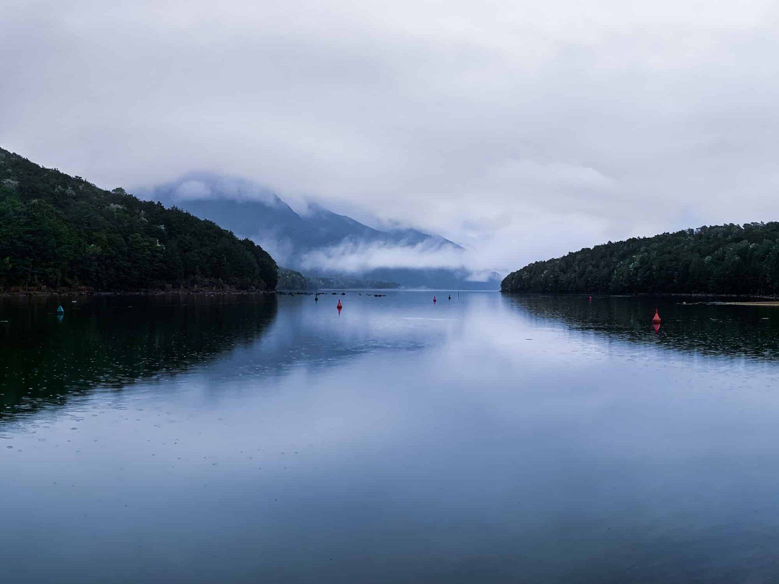
Manapouri
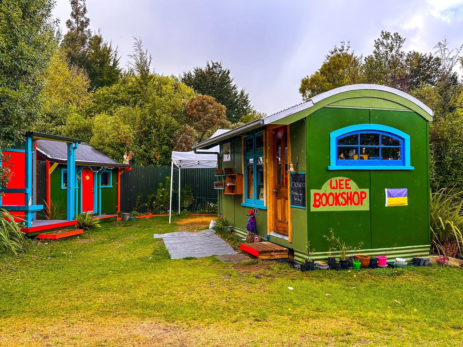
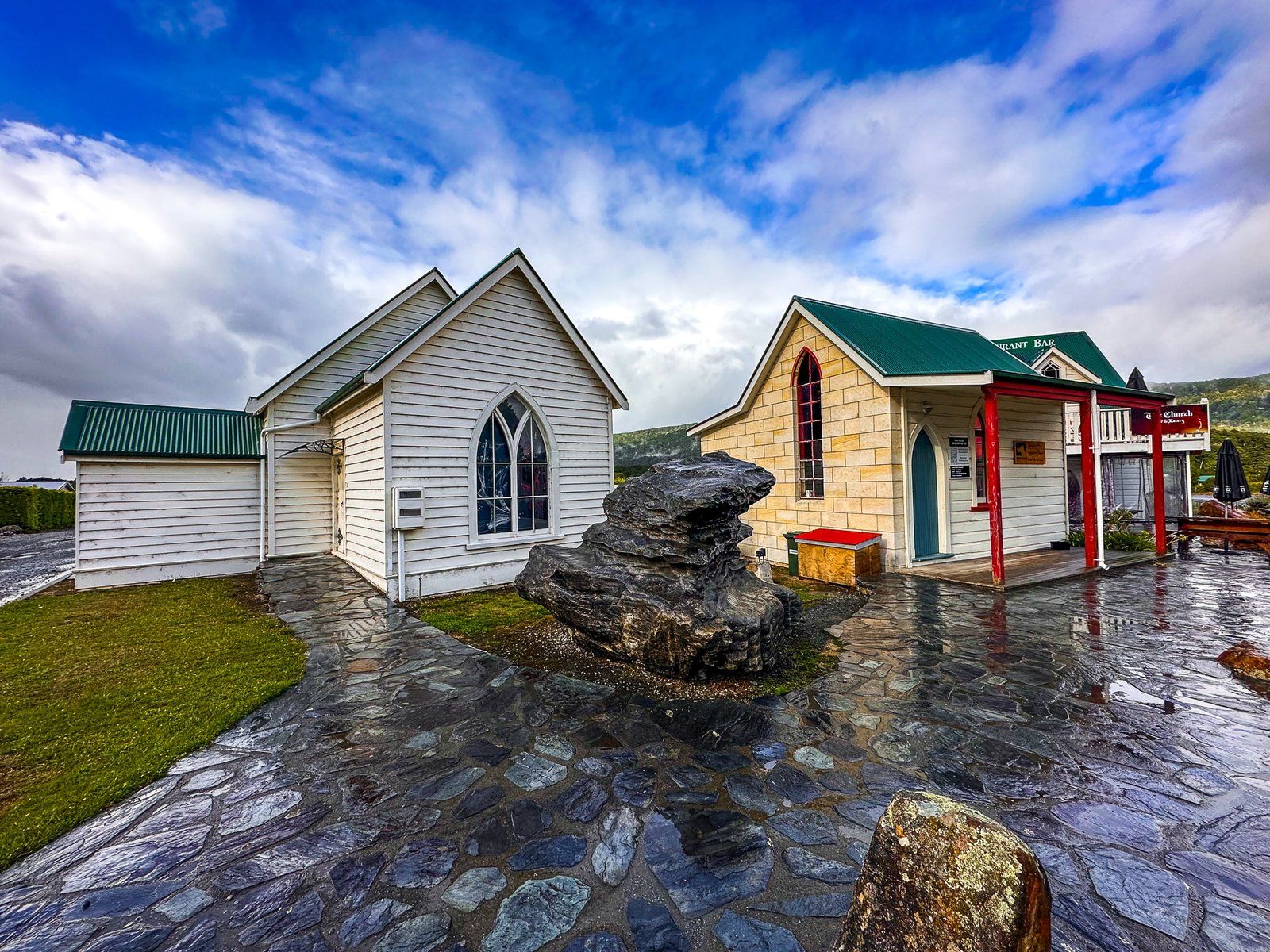
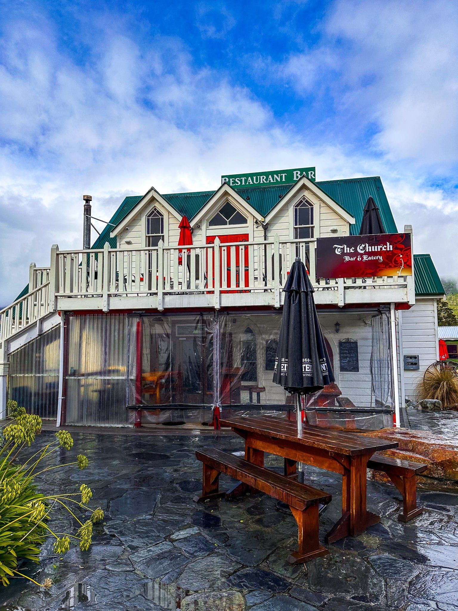
Manapouri is the small town on the edge of Fiordland National Park as you travel north on the Southern Scenic Route from Monowai. There are several accommodation options and a gas station and store, while a pretty street-front church has long been a restaurant and bar. There are also the unique Two Wee Bookshops near the corner of Home Street and Hillside-Manapouri Road, a one-minute walk from the Church.
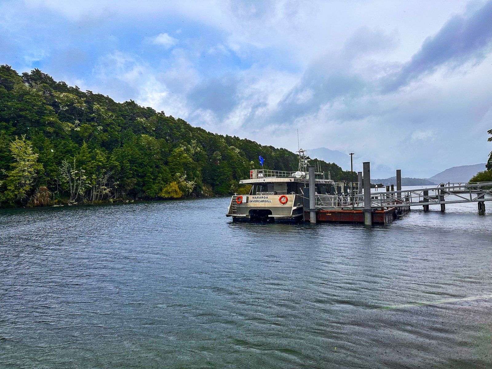
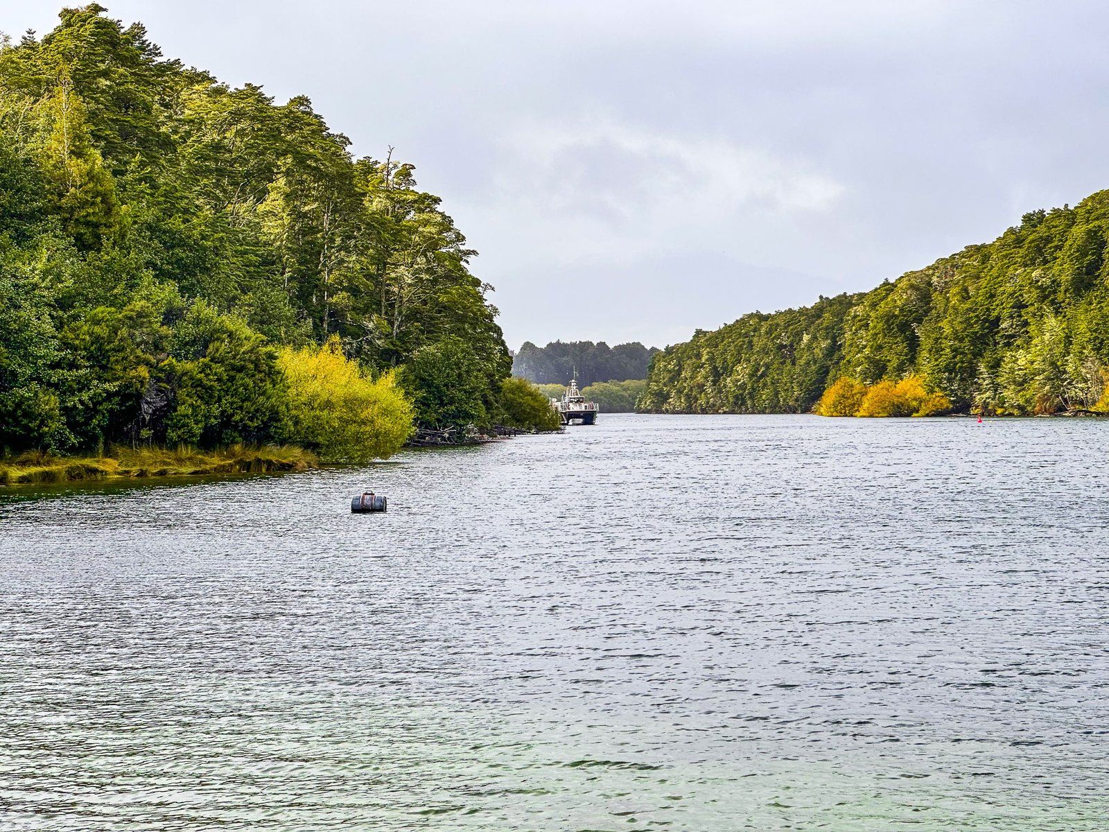
Despite its small size, Manapoui has an active tourist scene, with boat trips around and across Lake Manapouri from nearby Pearl Harbour. For a more remote trip to Milford Sound, Manapouri offers boat access to West Arm. From there, you take a bus over Wilmot Pass and then a boat trip on Doubtful Sound / Patea.
There are also various tracks around the southeast end of the lake that can be accessed by crossing Pearl Harbour on a boat. But the easiest option is to take the short but pretty track down Pearl Harbour to Frasers Beach, then back to the small town centre.
Frasers Beach Walk
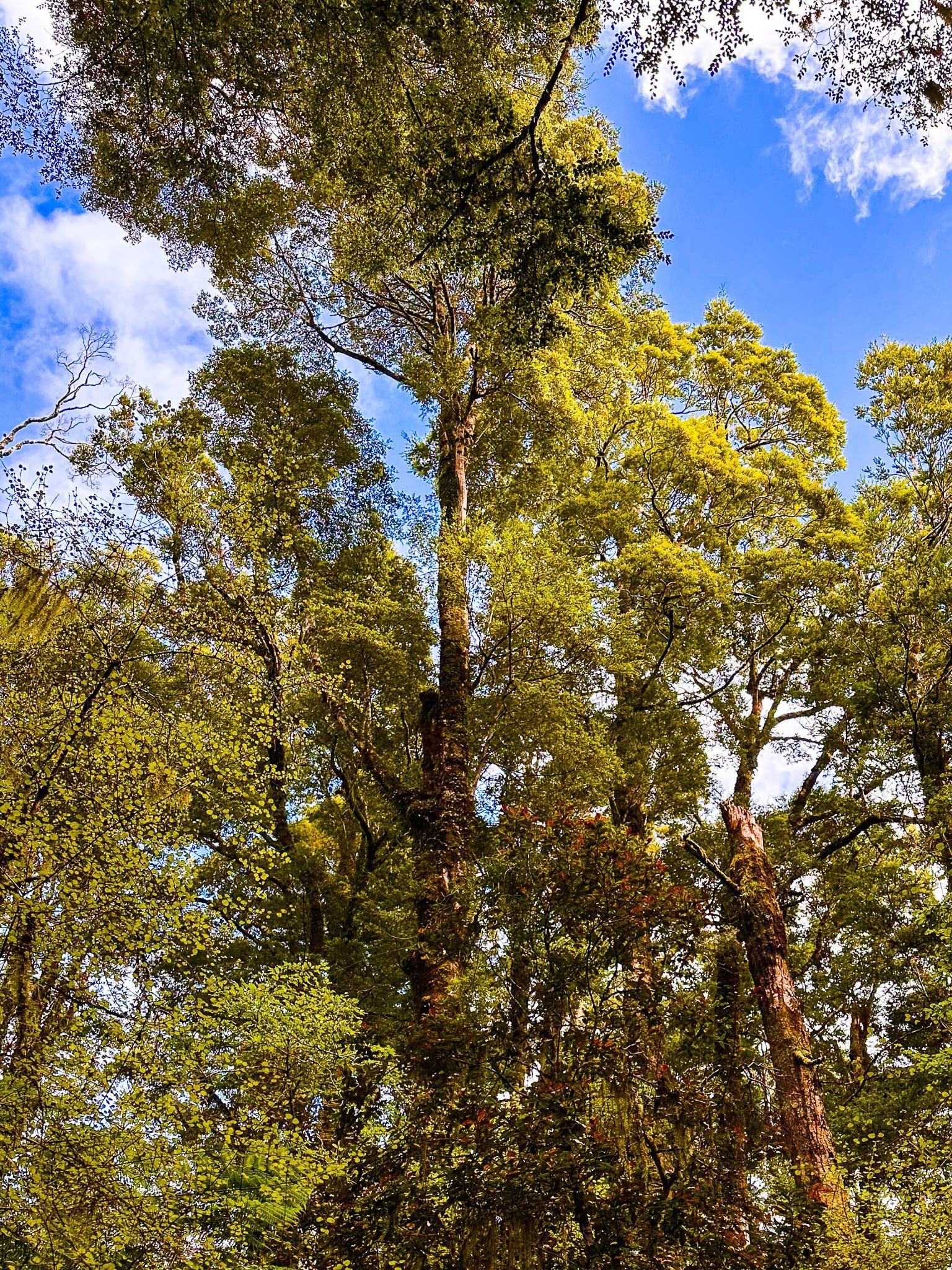
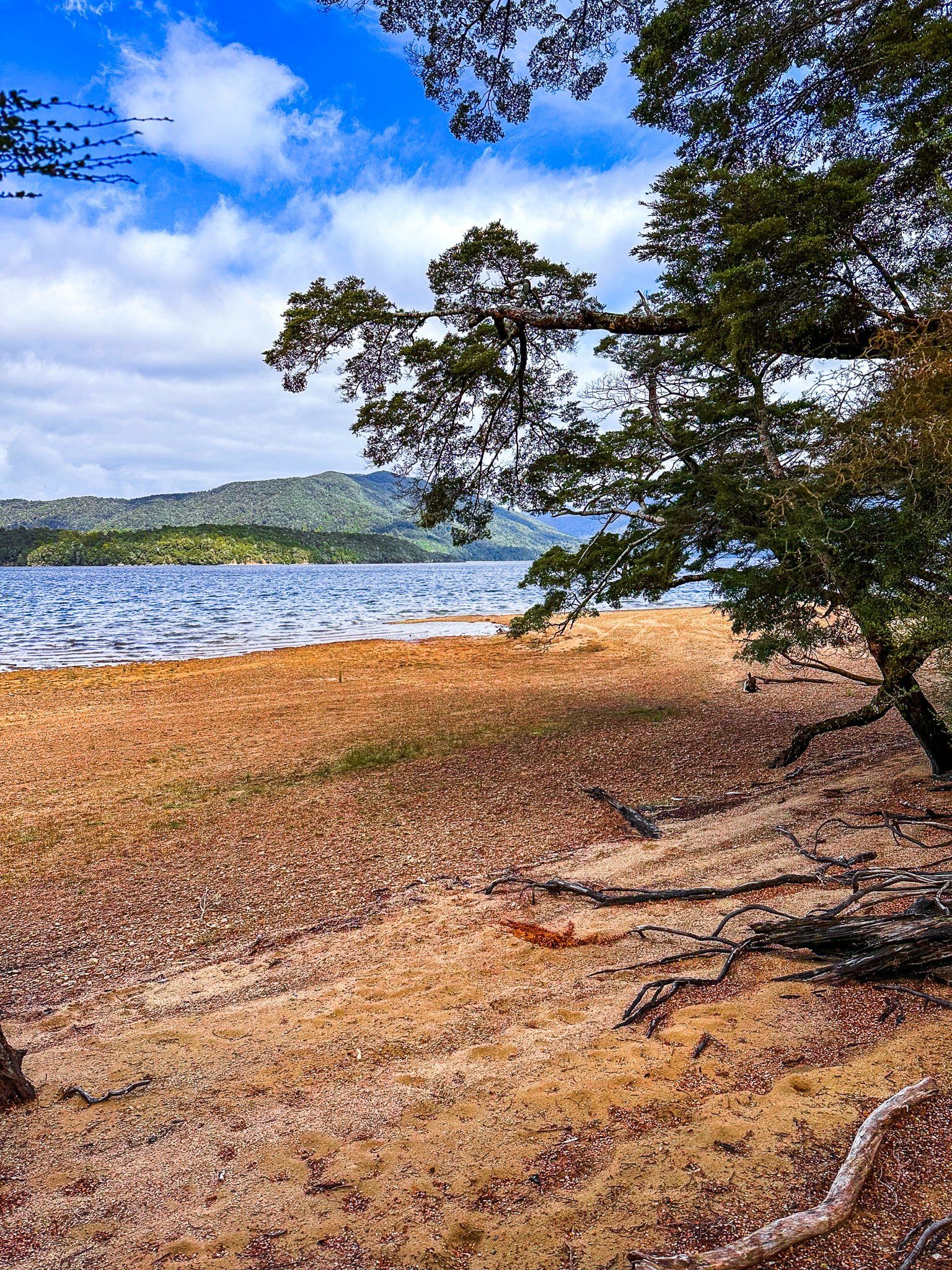
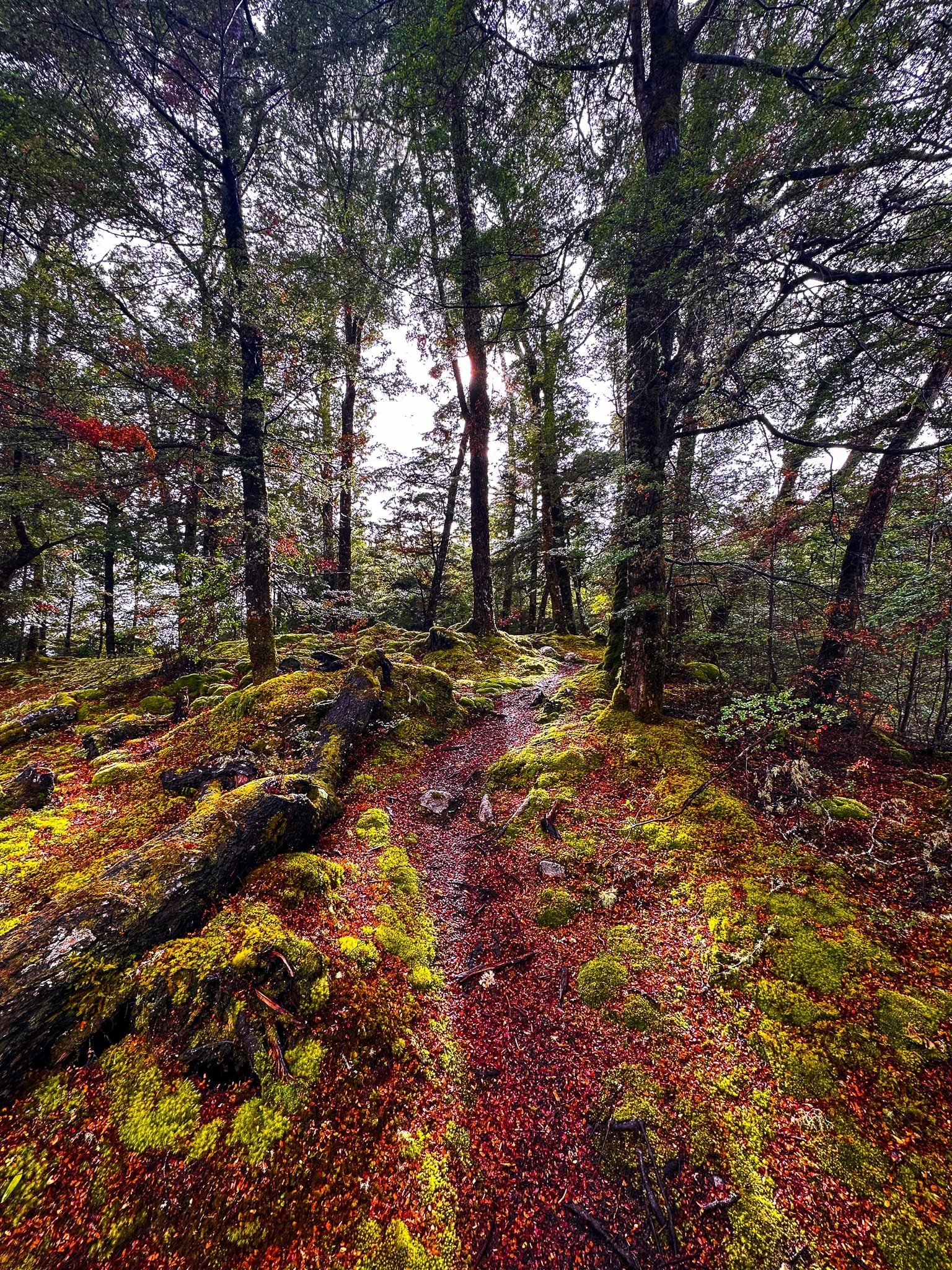
Frasers Beach is the 3 km-long beach on the east side of Lake Manapouri, below the town. You can park on the main road near the Church then walk down to Pearl Harbour in a few minutes. The track starts at the western end of the Pearl Harbour boat facilities. It goes through an attractive section of beech trees, with emerald green paths of moss and red/brown/gold carpets of fallen beech leaves. You will barely notice the few houses that are at the edge of the trees.
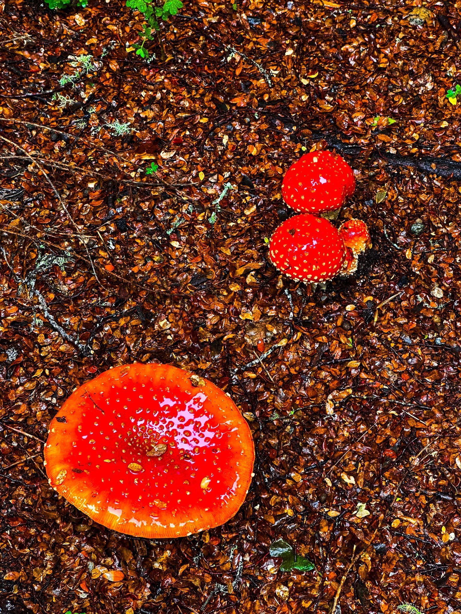
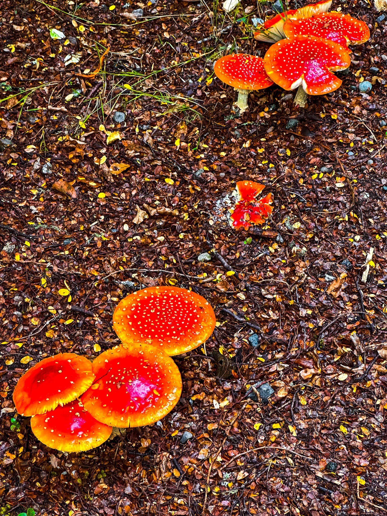
It was also fungi season, so there were a large number of red-capped, white-flecked fly agarics (Amanita muscaria). Stunning, but they contain hallucinatory compounds and potentially fatal toxins.
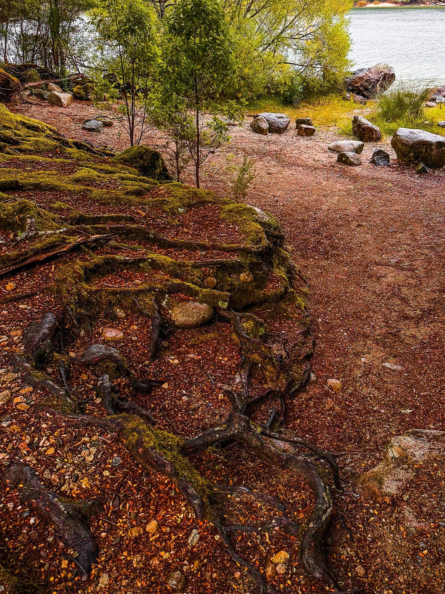
Once you reach the end of Pearl Harbour, the track turns right past a “Frasers Beach” sign and peters out near a small car park. However, you can keep going along a short section of access road to the track re-entrance. It then heads through a mix of trees, shrubs and grassed reserve to an easy beach access point.
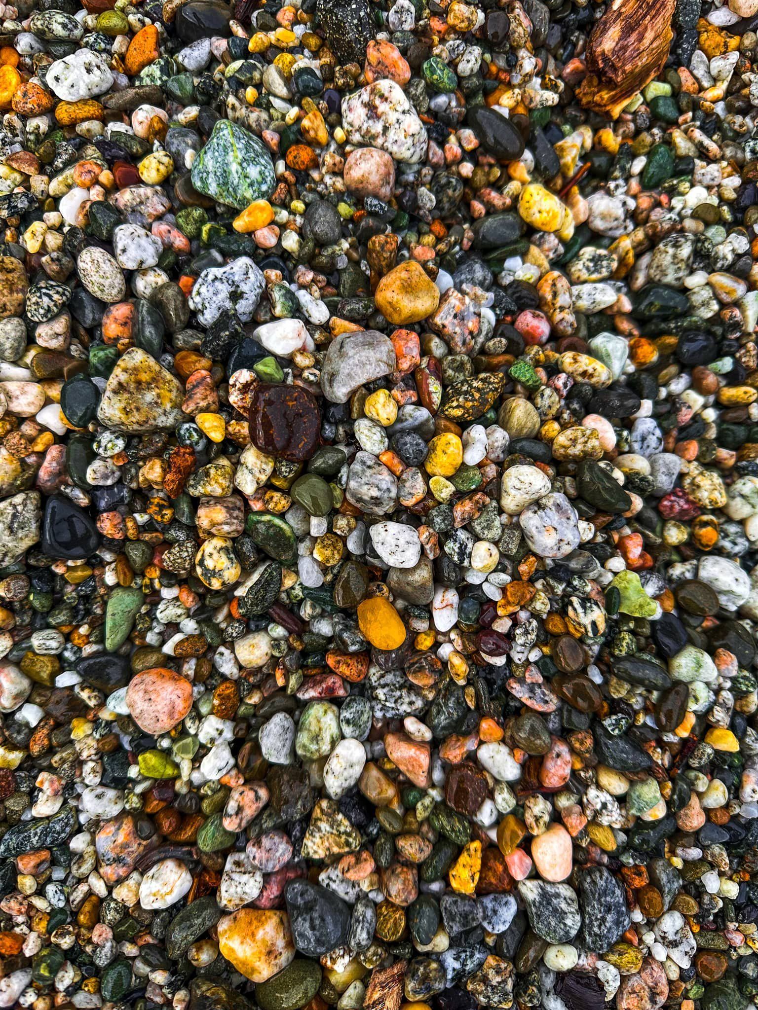
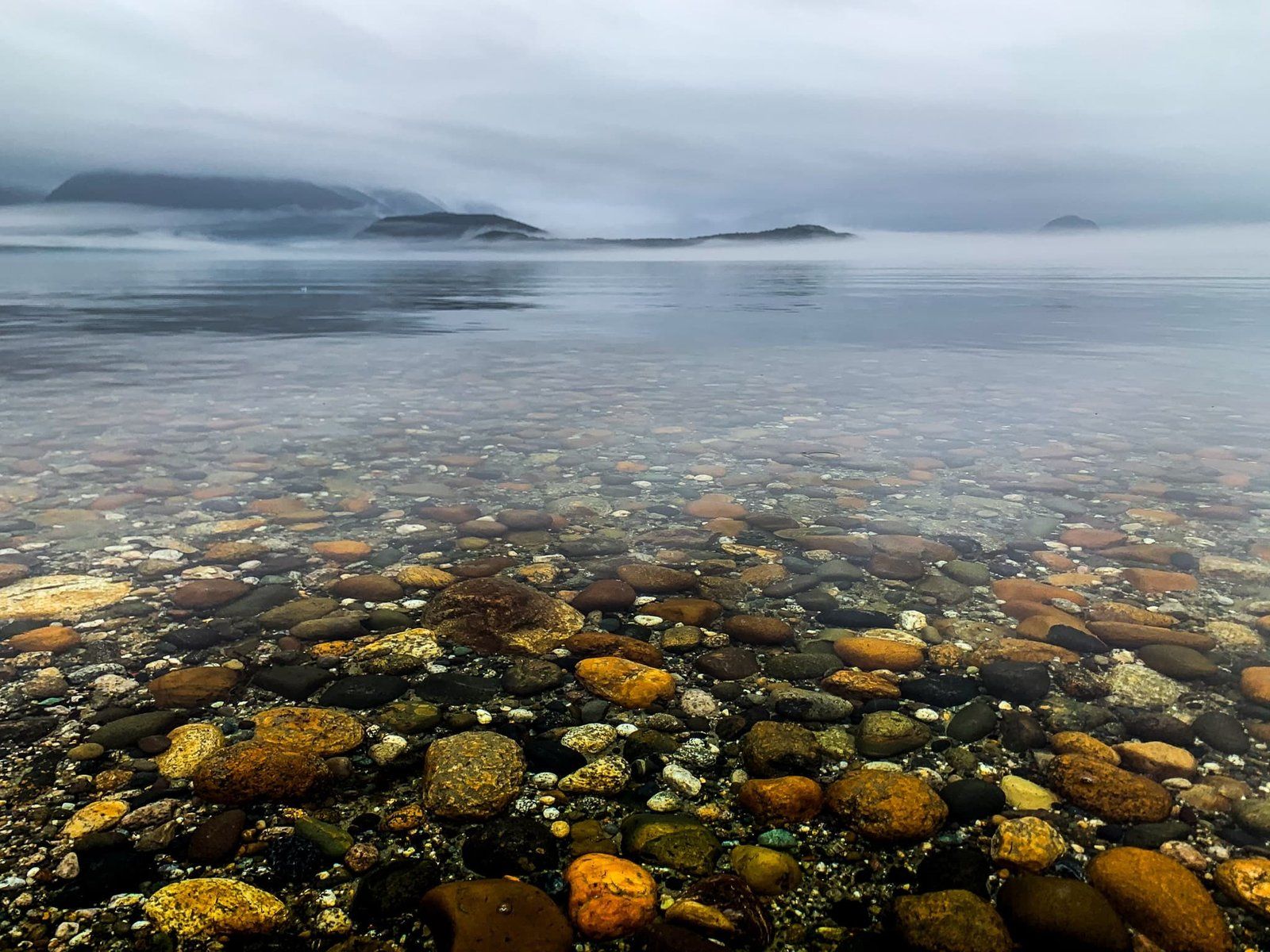
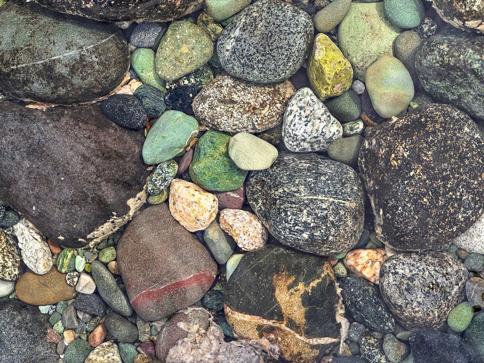
The beach itself is a mix of incredibly colourful stones and sand. Although this walk is worth doing even in poor weather, we are hoping to return on a still, cloudless day eventually!
Boulder Reach
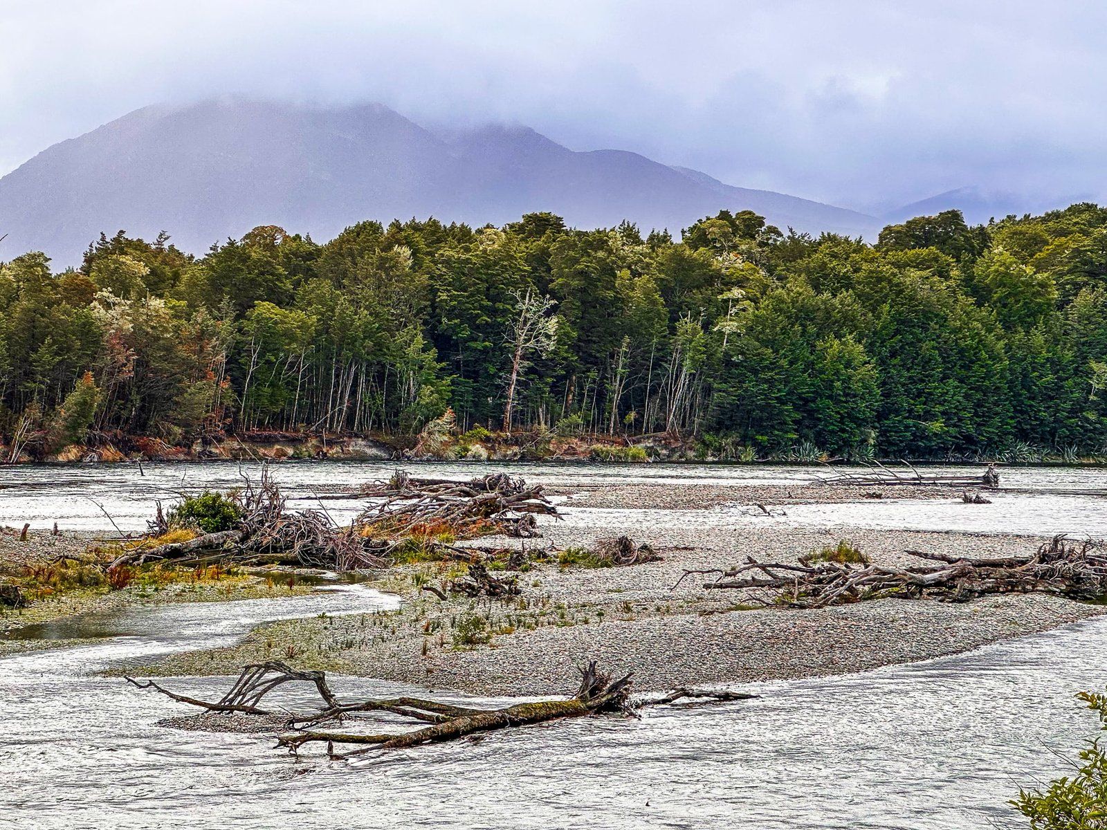
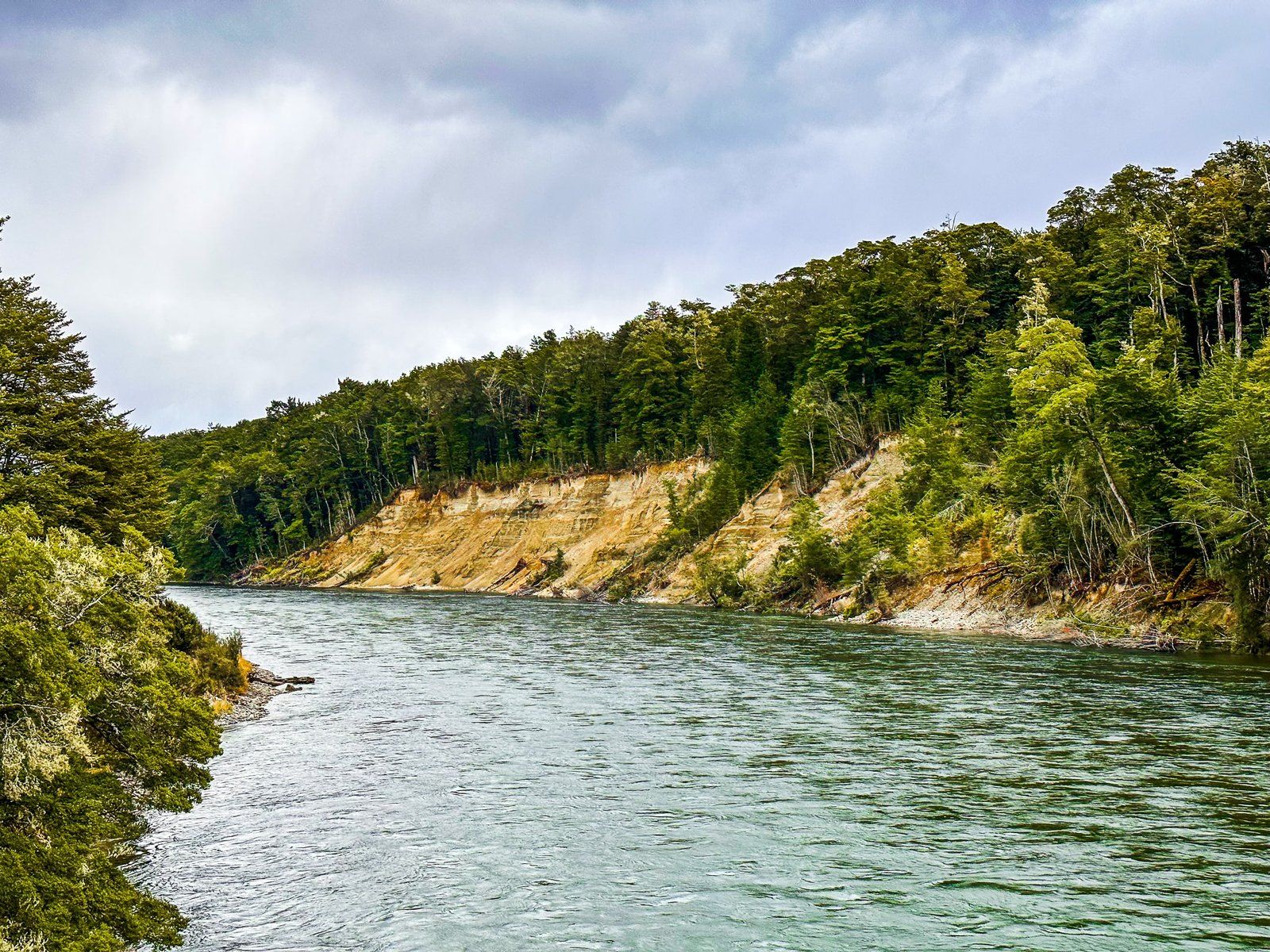
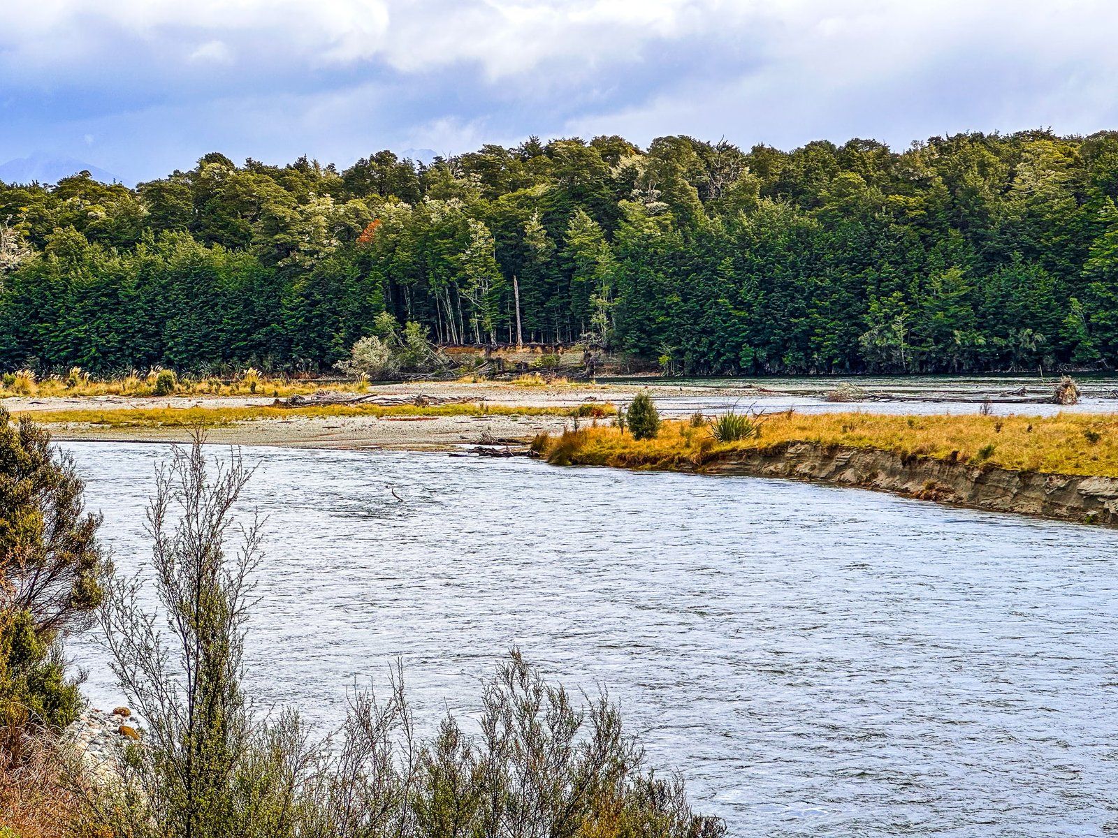
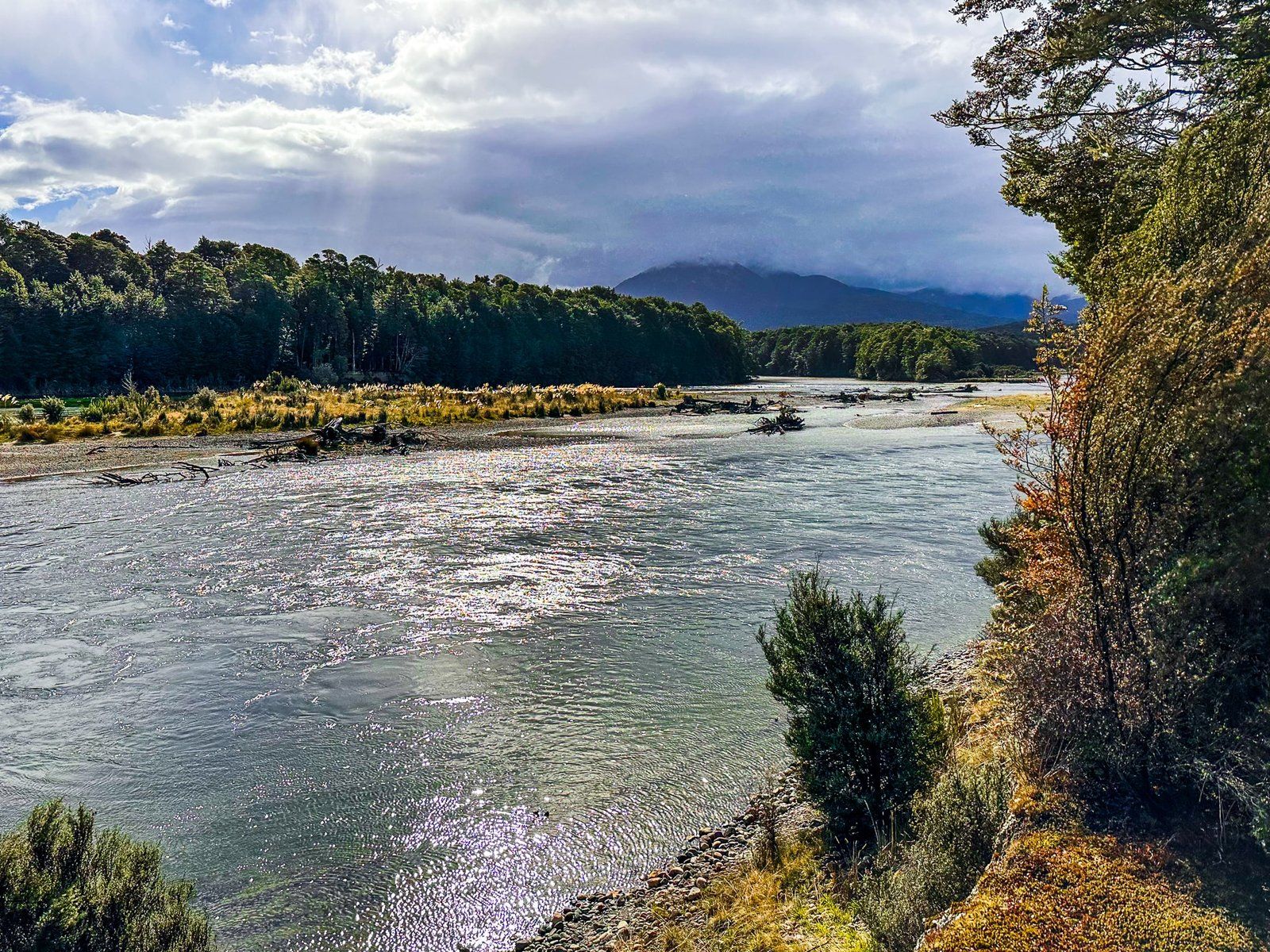
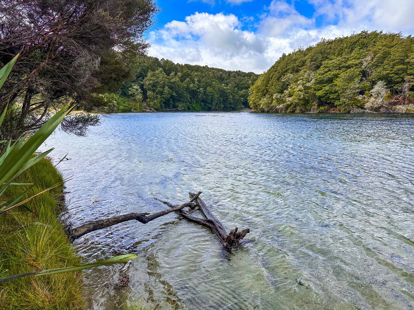
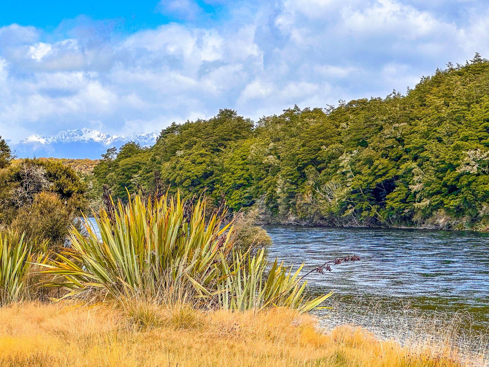
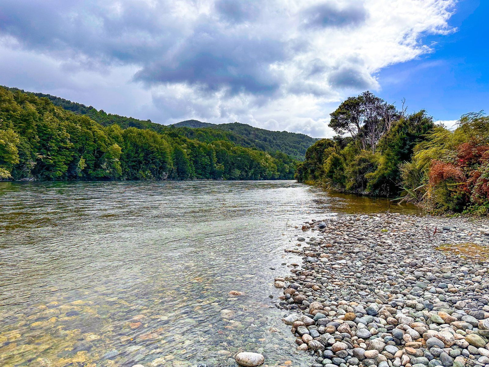
Continue north on the Southern Scenic Route from Manapouri towards Te Anau. On your left is a mix of scrub and farmland, with the Waiau River connecting Manapouri to Te Anau, forming the edge of Fiordland National Park. There is a cycle/walking track that runs through this area (the Lake2Lake Trail) and you can also access the River by car in three locations.
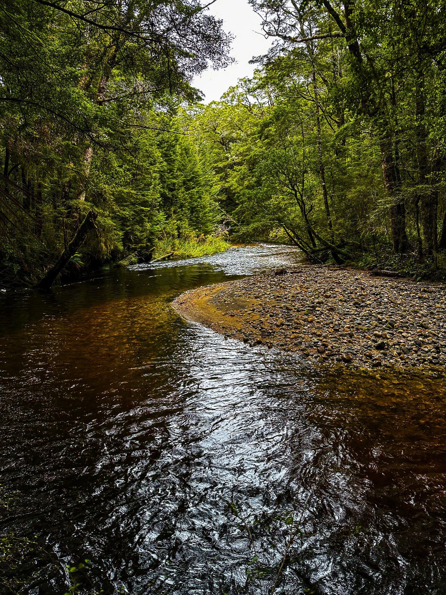
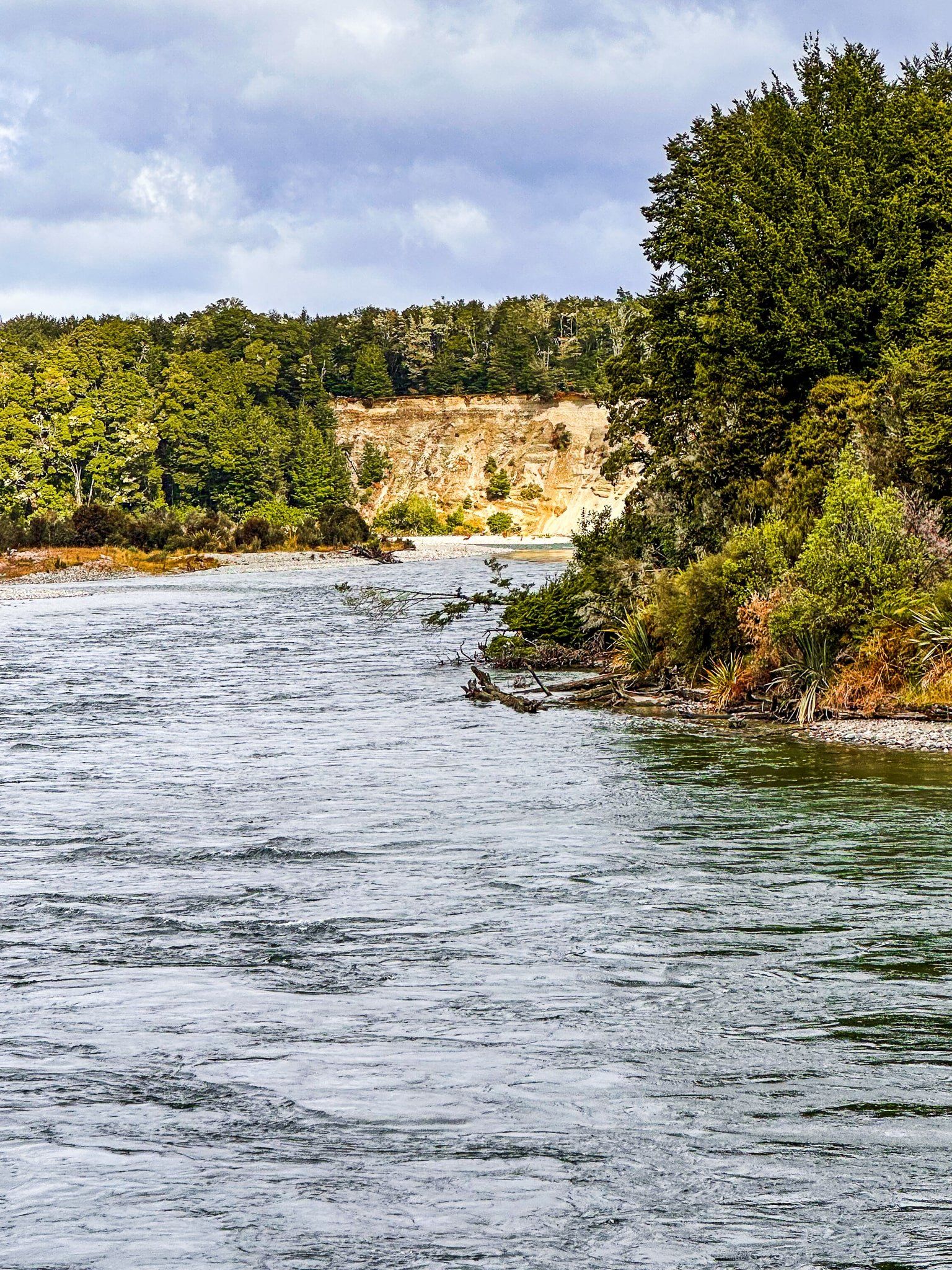
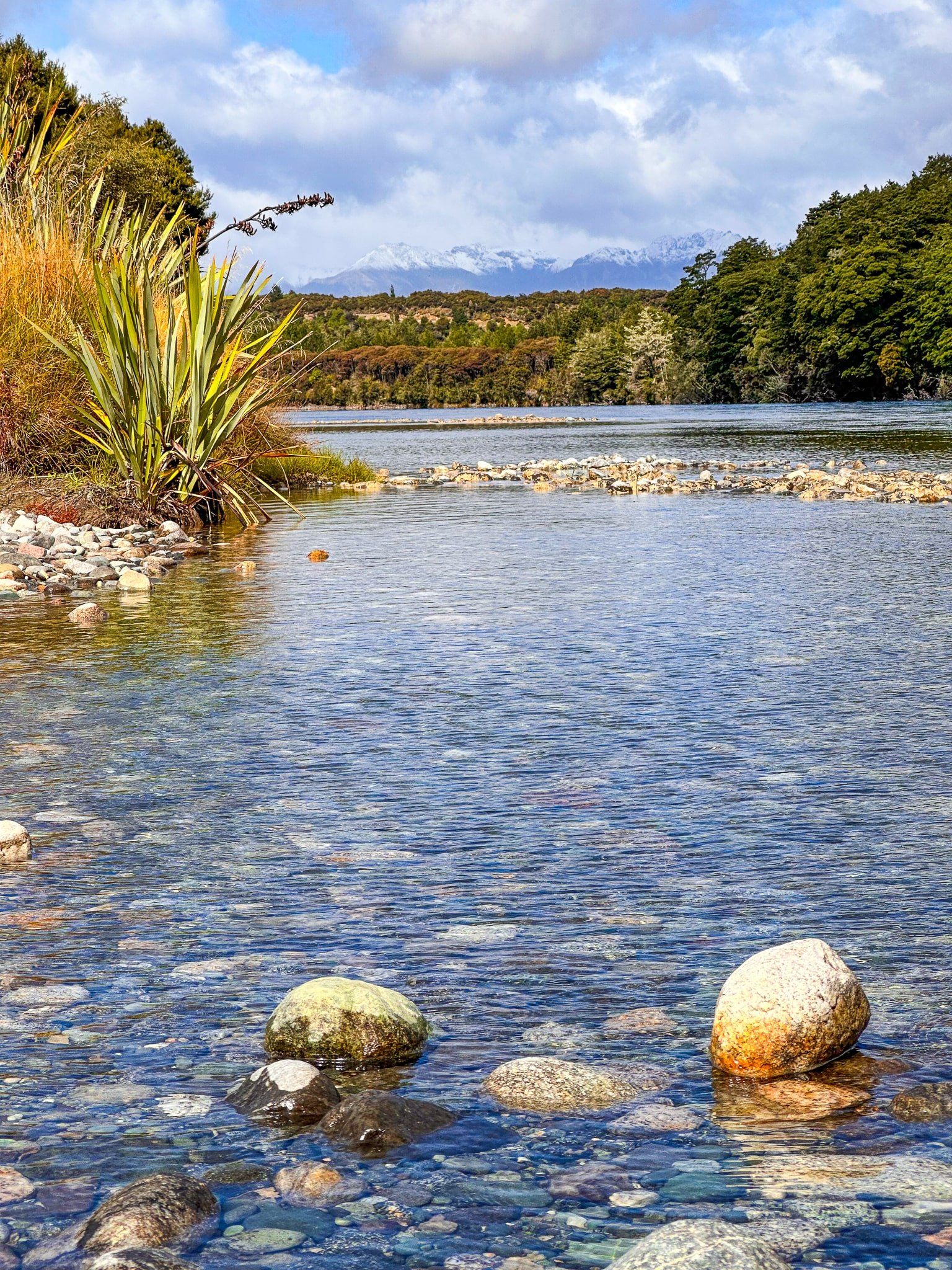
The first of these heading north is Boulder Reach. Turn off at the signpost from the Southern Scenic Highway and follow the narrow metal road to the River. For views of a section of the River called the Balloon Loop (it looks like a balloon from above), stop near the edge of the cliff. This section of the River apparently featured in LOTR, although there is nothing to signify this outside of an icon on Google Maps. From there you can walk along the shared track northeast to the next road access at Rainbow Reach.
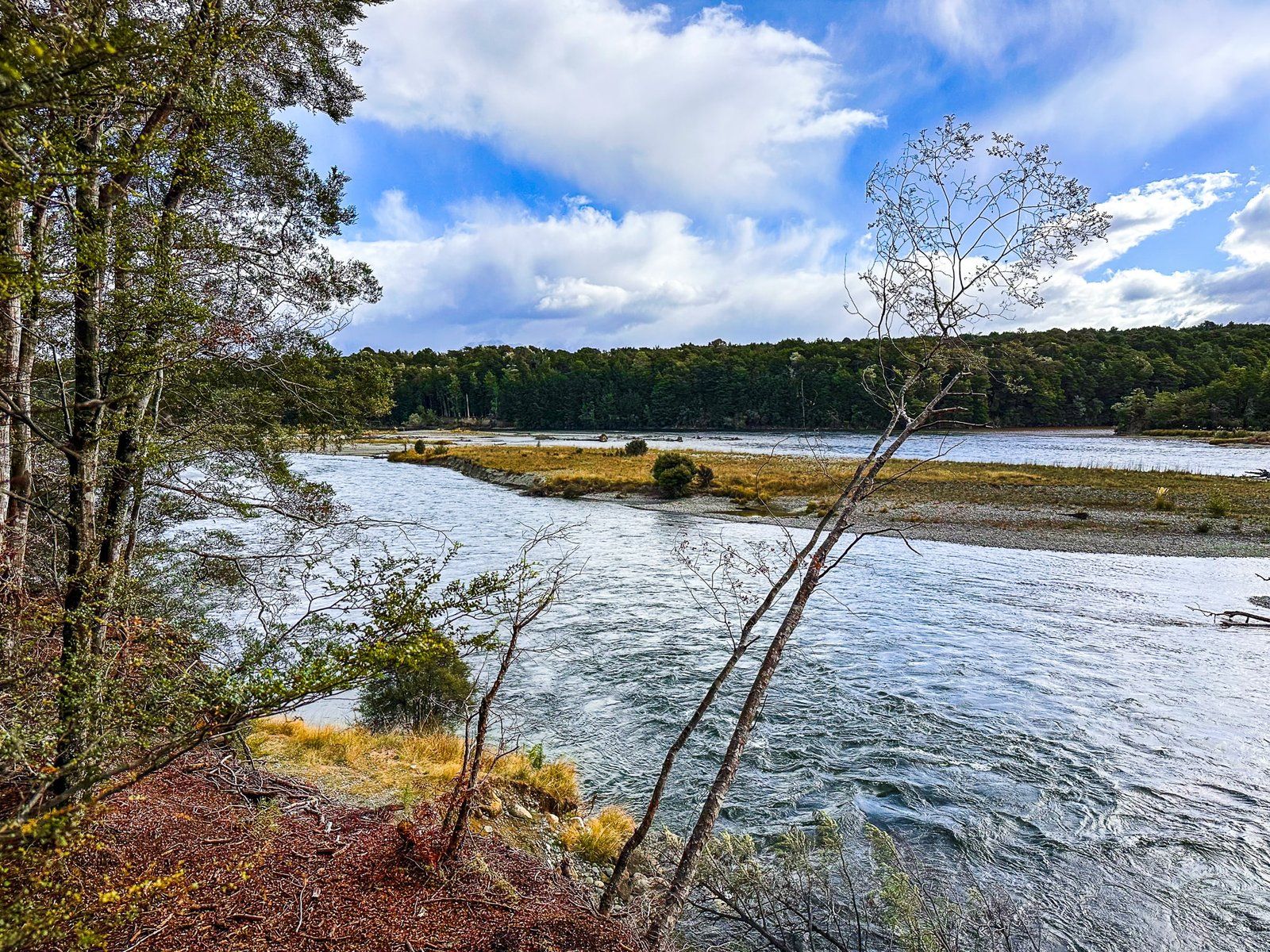
Rainbow Reach
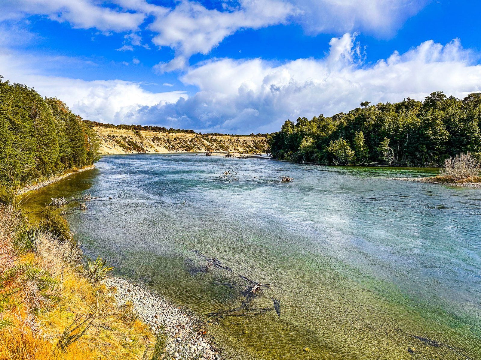
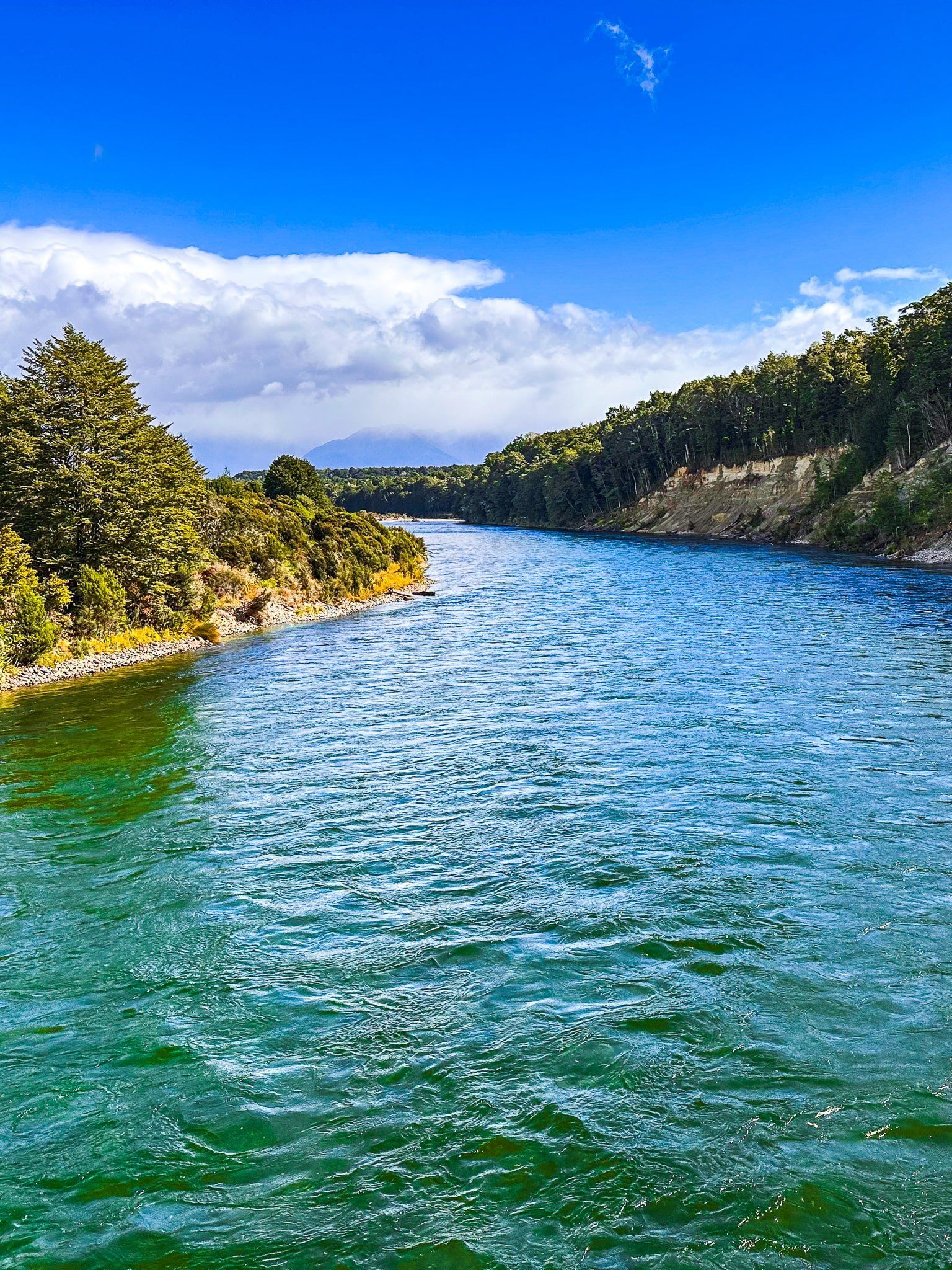
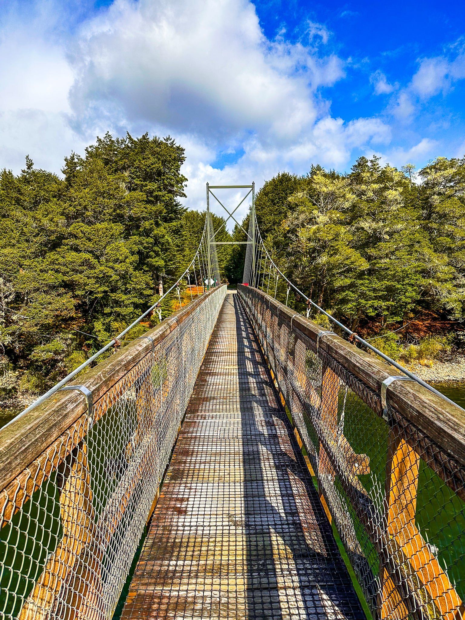
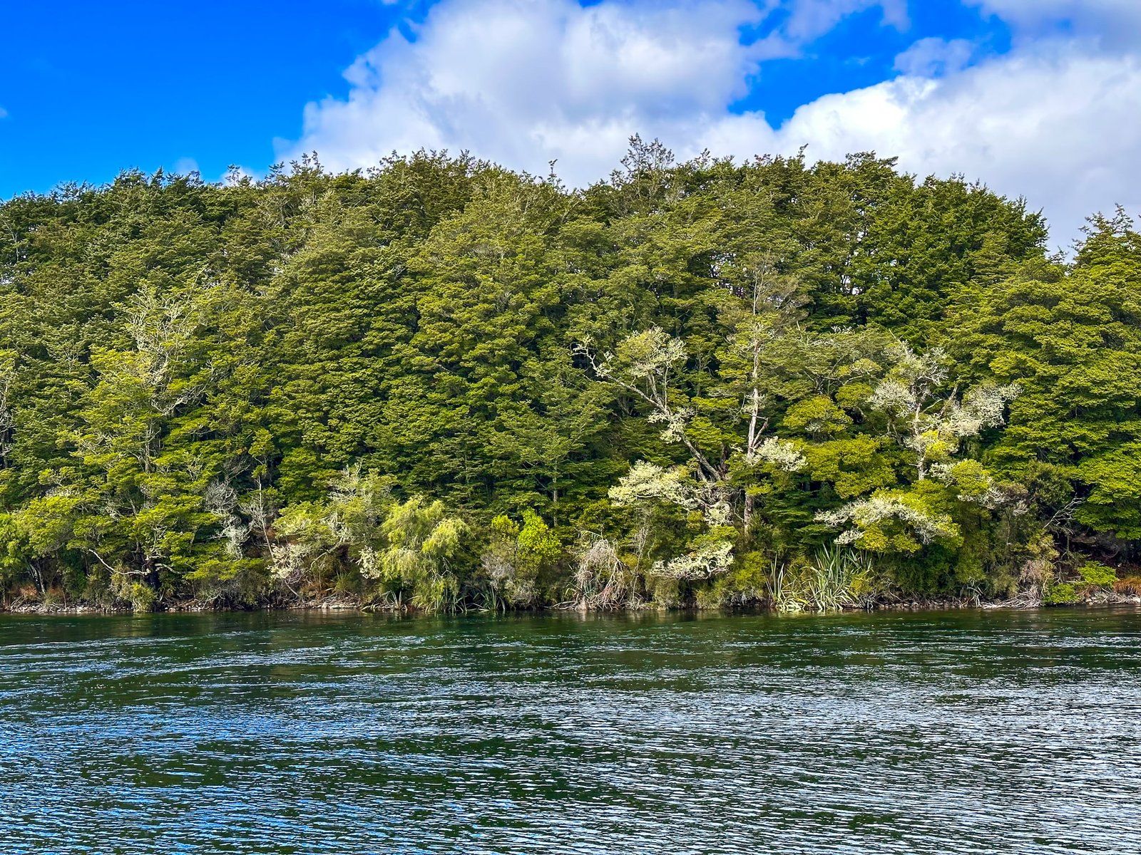
Rainbow Reach has a better road and a major car park on the edge of Fiordland National Park, providing access to the Lake2Lake Track and Kepler Track, one of NZ’s Great Walks. There is a long but stable swing bridge over the Waiau River to the Kepler Track, accessed directly from the north end of the car park.
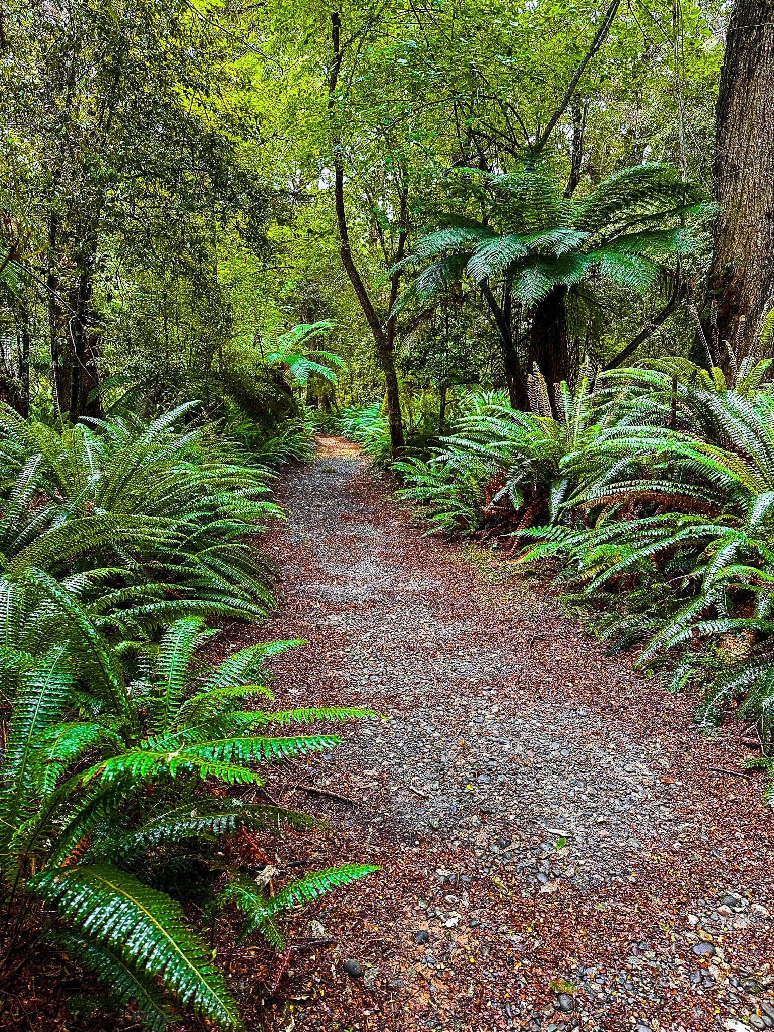
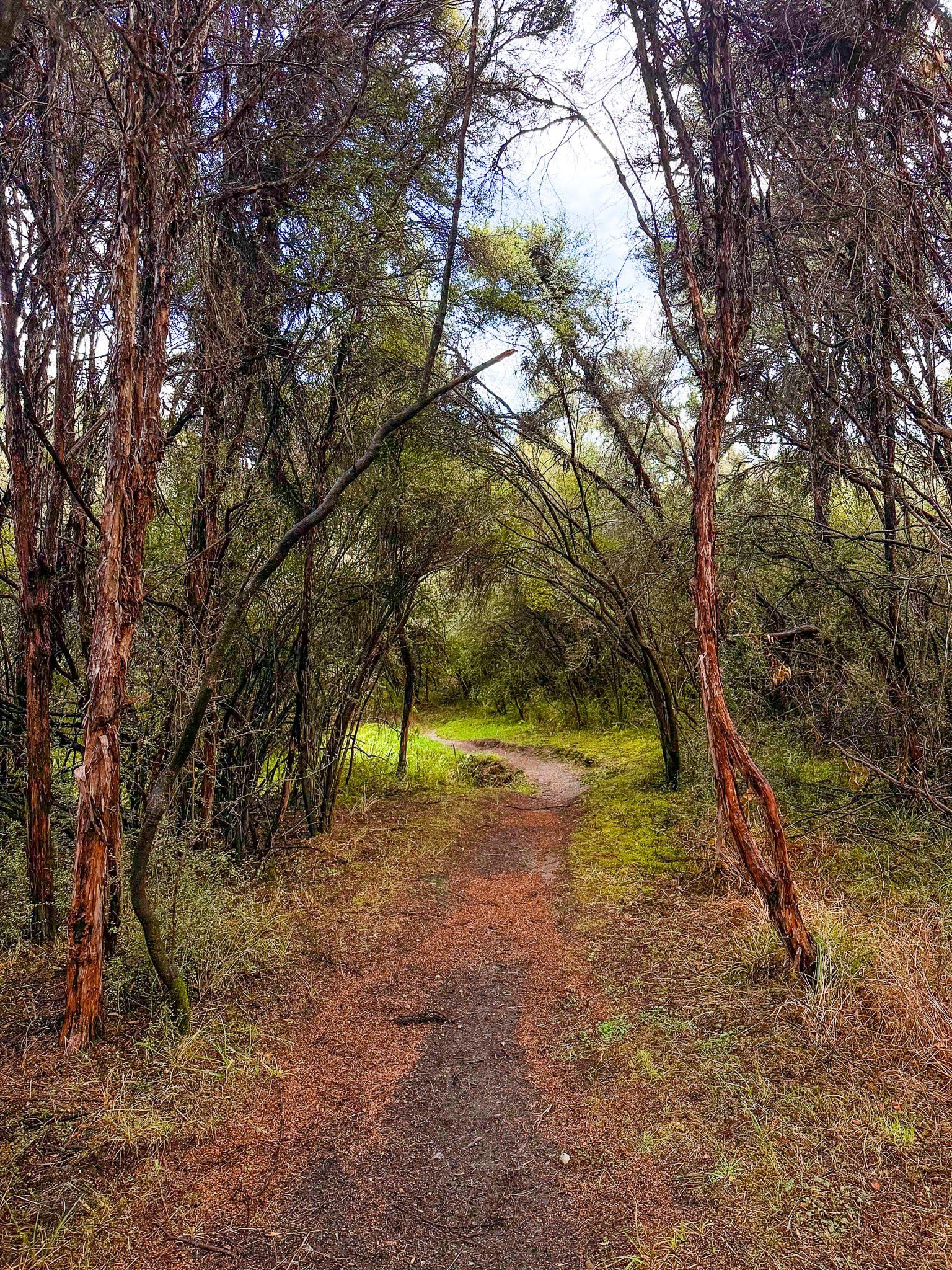
This section of the Kepler is relatively flat and easy, trailing through mature beech forest. From the bridge, you can walk in either direction – left towards the Balloon Loop, then Shallow Bay on Lake Manapouri, or right towards the end of the track at Lake Te Anau. Either way, it is a beautiful forest walk with regular views over the river and a fabulous introduction to one of NZ’s premier walks.
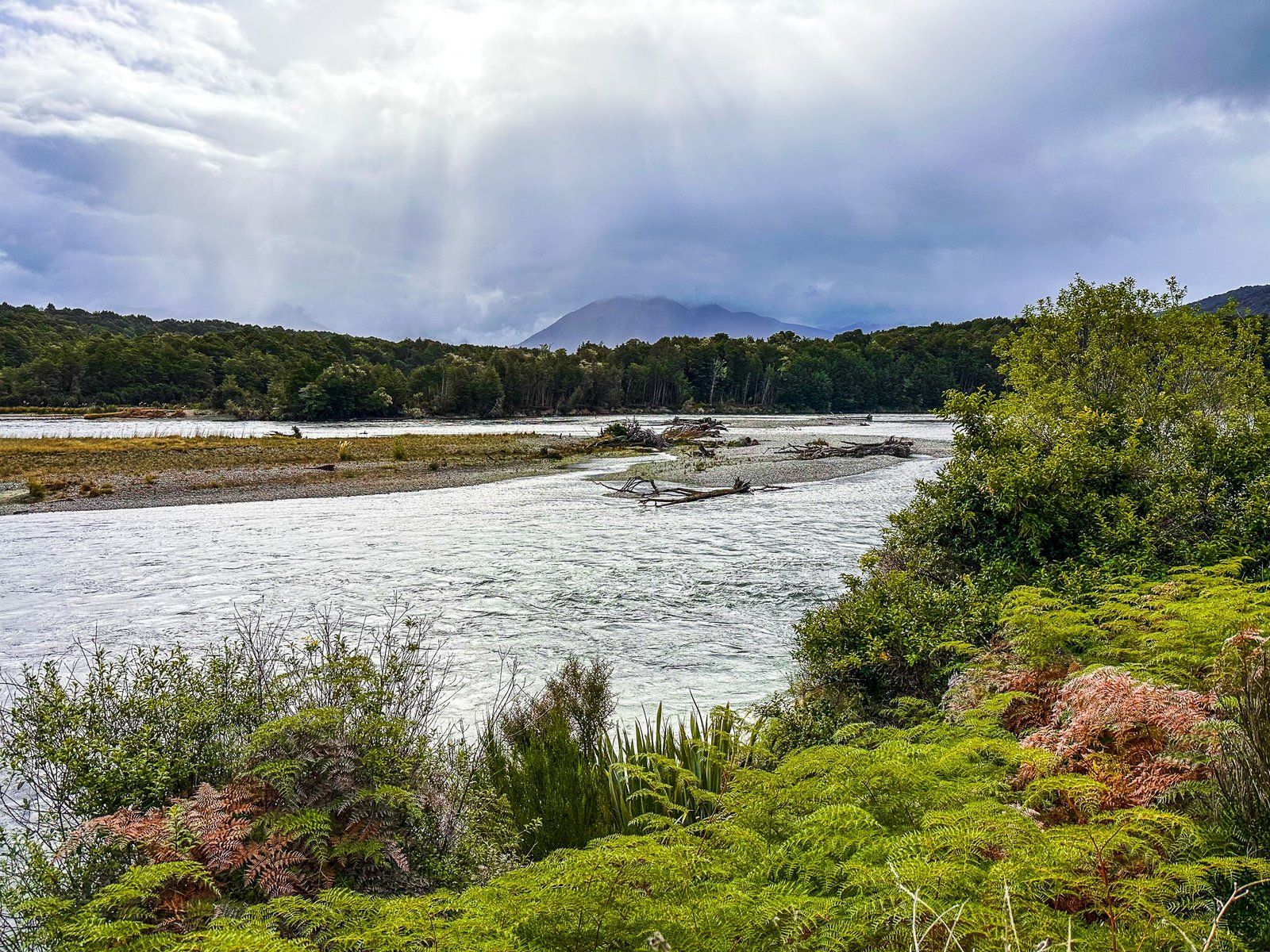
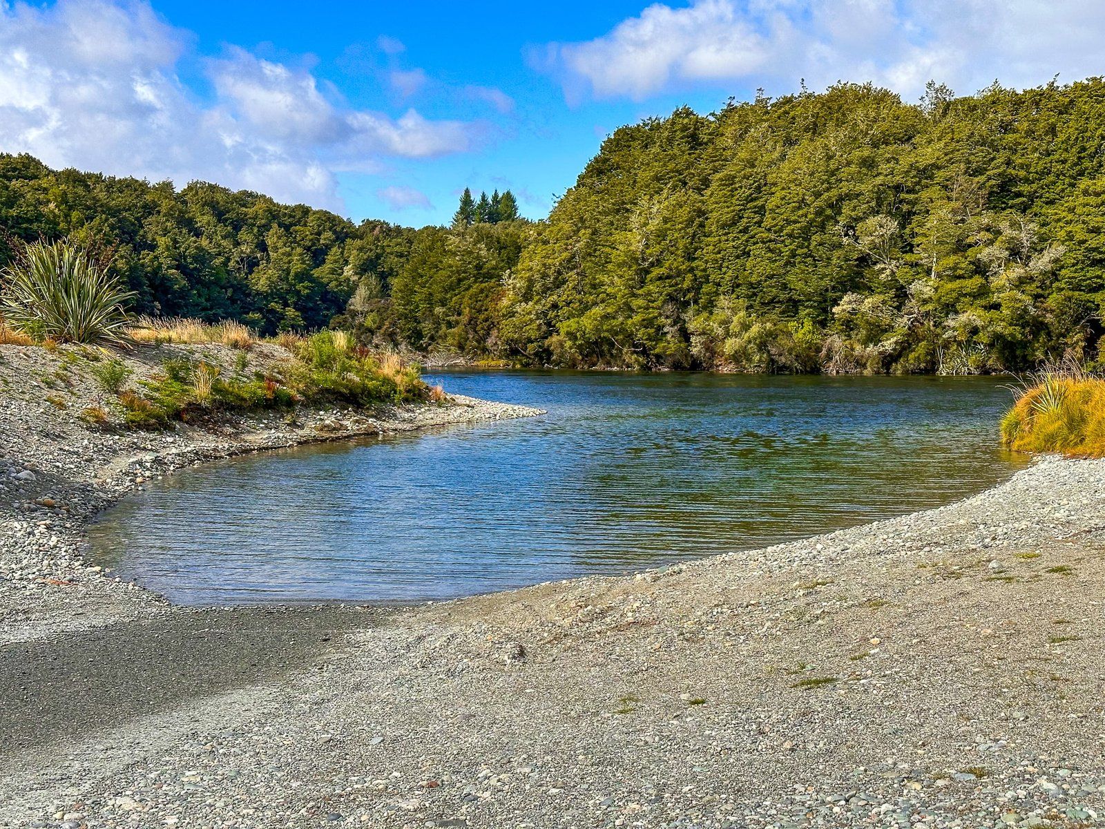
Queens Reach
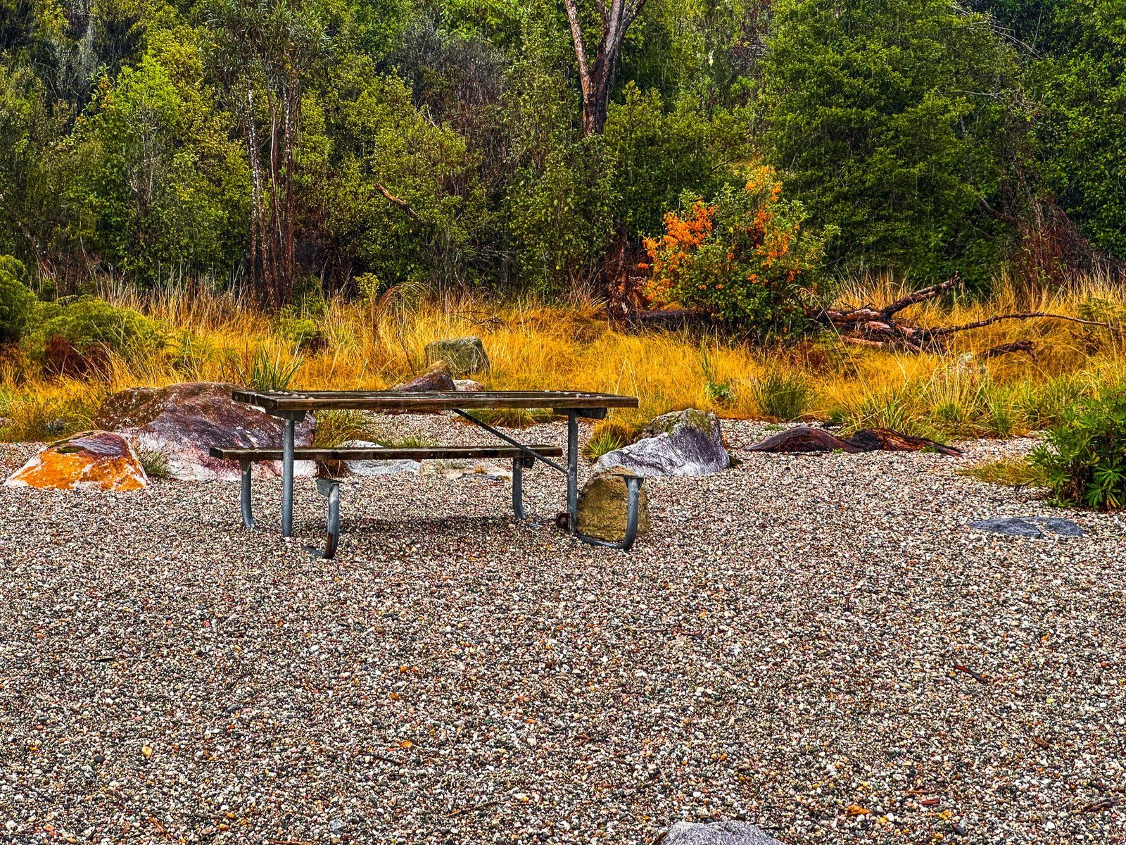
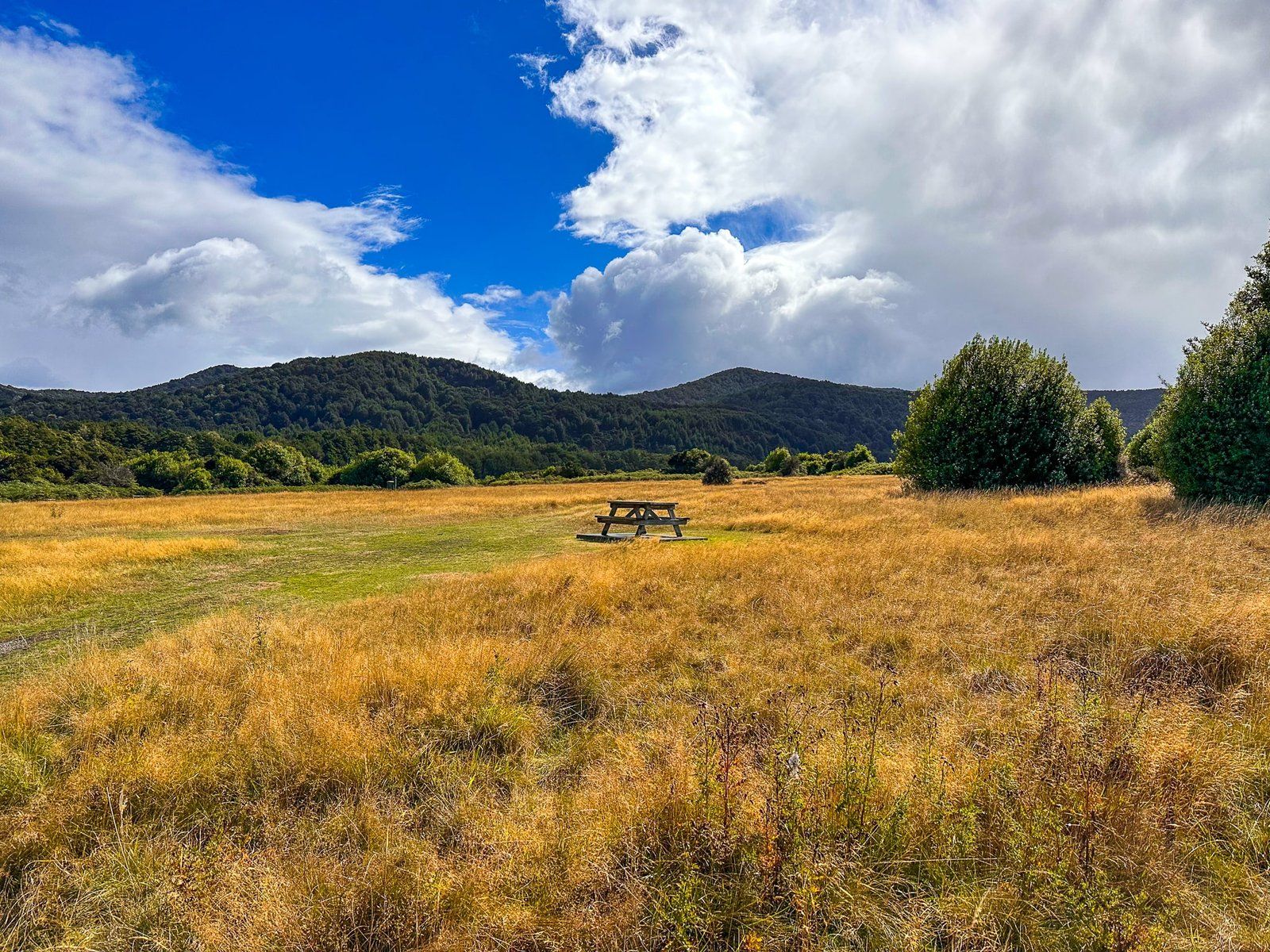
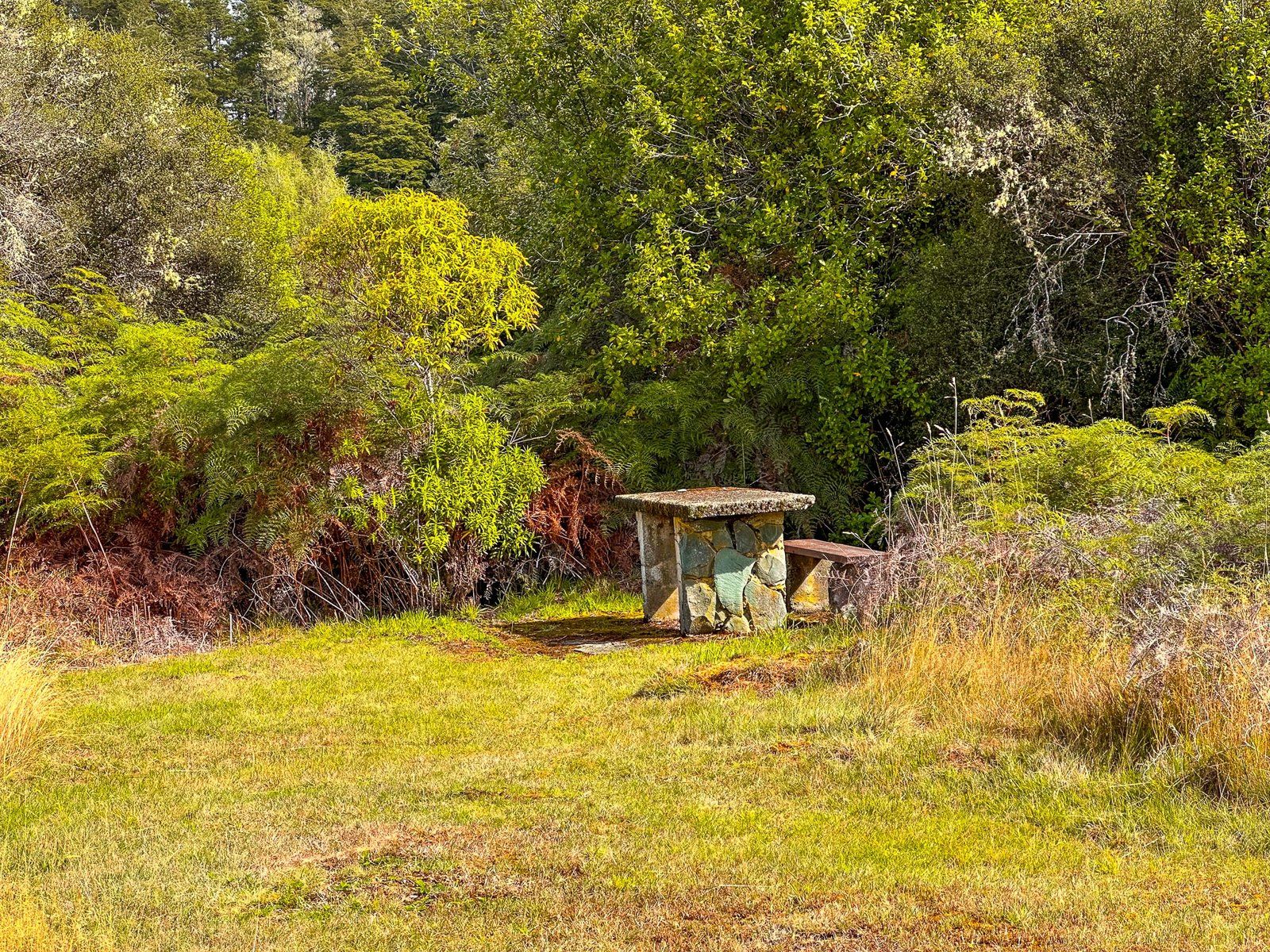
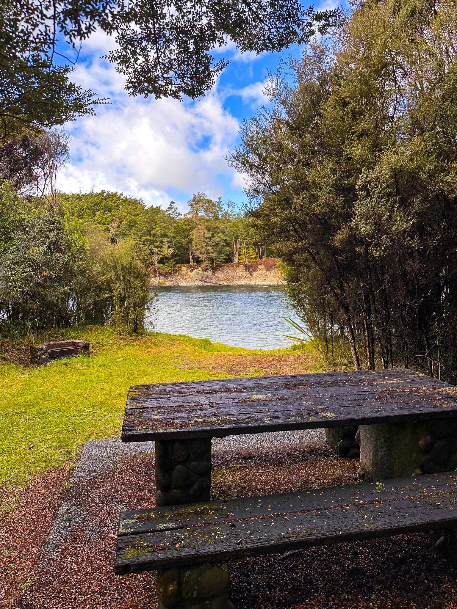
From Rainbow Reach, you can walk to Queens Reach on the Lake2Lake, or drive back to the Southern Scenic Route and head south 5 km to the entrance road. It is a short drive to a boat ramp for access to the Waiau River. From the boat ramp, you can follow the road around the River to a large grassed area, surrounded by bush, with several picnic tables and an easy River access point. After that the road narrows and is best left to the cyclists.
You can continue on the Lake2Lake to the control gates at the Lake Te Anau Waiau River Outlet, or take a car along Golf Course Road from Queens Reach, or go back to the main road, for the final few km to Te Anau.
Want more South Island Trip Ideas?
Check out our Return to the Rugged West Coast series; Lake Moeraki to Bruce Bay, Unique Ship Creek, and South Westland.