
The drive from through Southland from Te Anau to Queenstown on the Southern Scenic Route – State Highways 94 to 97 and then 6 – is an underrated short touring drive. At 170 km, it takes just over two hours and it’s easy to drive through without a pause. There are obvious deviations with Kingston at the south end of Lake Wakatipu and the superb Mavora Lakes and campground, which we have covered in an earlier blog.
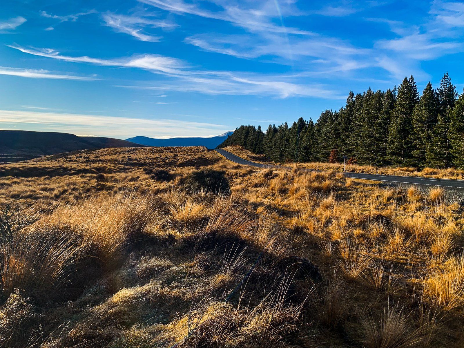
Here, we suggest a more leisurely approach to the trip. There are unique viewpoints between the Key and Centre Hill on SH 94 – the Scientific Wilderness Reserve and a red tussock reserve. You can then continue around Fairlight, south of Kingston, and the Devil’s Staircase along the south arm of Lake Wakatipu. Include a coffee break in Garston (or Mossburn) and a short deviation up the Nevis Road to the Roaring Lion Trail to round out the day.
These stops provide you with some insights into how people have impacted the landscape over time. Southland was amongst the earliest farmed regions in NZ, with two huge stations by the 1860s, subsequently subdivided into many smaller farms as the railway was pushed through to Kingston from Invercargill.
Forest and tussock was largely cleared, and the reserves on SH 94 provide insight into what the river plains and hills were once like. Meanwhile, the small town of Garston shows off its early pioneer history. Further on, the name of Devil’s Staircase on Lake Wakatipu is a historical giveaway, but now it is a safe place to stop for the views high above the Lake.
Scientific Wilderness Reserve
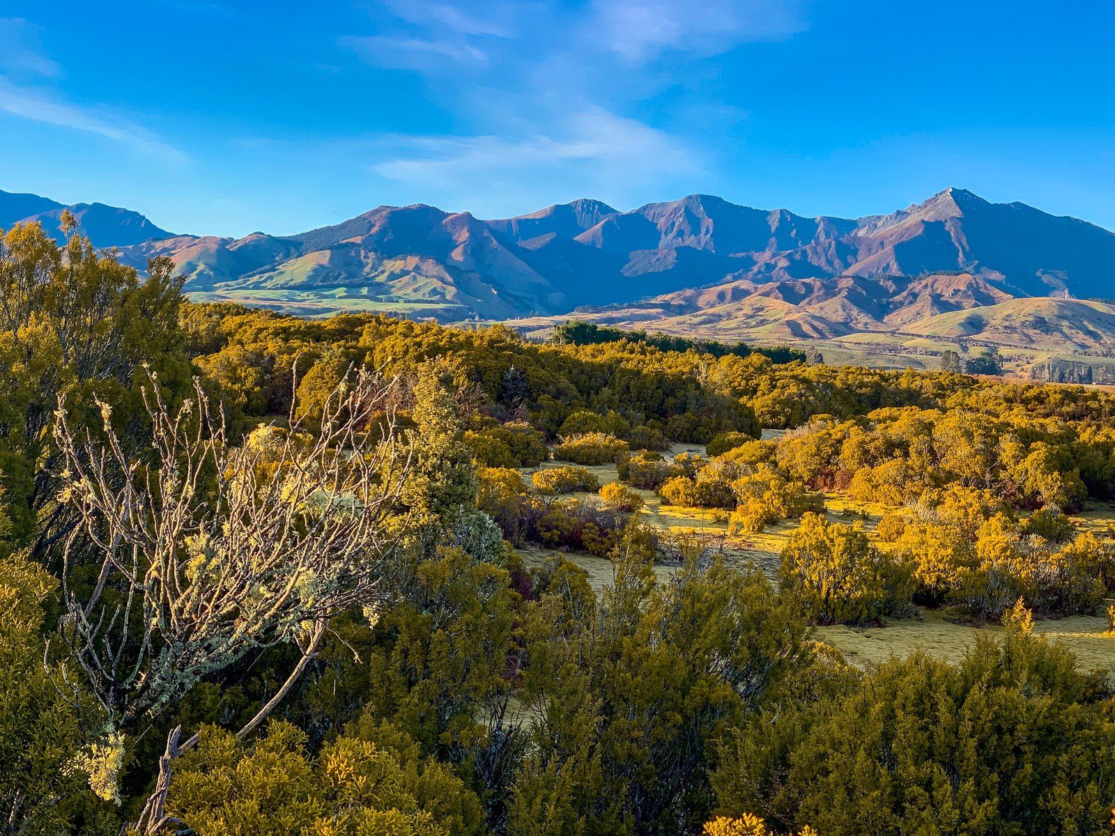
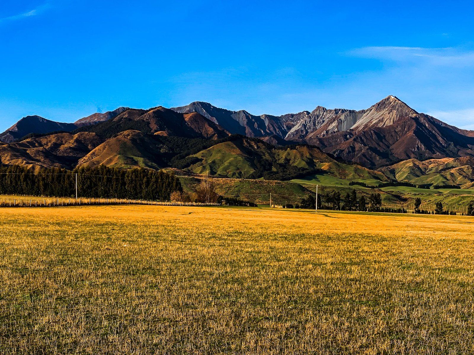
The Scientific Wilderness Reserve is about 21 km southeast of Te Anau on SH 94. It may not have the most enticing name, but it is interesting as a look back at the first vegetation to appear after the glaciers retreated from Southland 10,000 years ago. The dominant species in the reserve is NZ native bog pine (also mountain pine) that take hundreds of years to get to waist-high and generally grow to about 3 to 4 metres.
These shrub-like trees like rough growing conditions such as stony moraines and river beds, hence their prominence as the glaciers retreated. They are also very tough and their thick bark is fire resistant. In addition, they are able to resprout quickly after a fire event, a useful trait on the dryer eastern side of the southern alps where forests were vulnerable.
The car park is immediately off the road. Take the short track through the bog pines to a viewpoint, looking over an area of bog pine wilderness and across the Mararoa River valley to the lovely 1400 – 1600 metre high Takitimu Mountains. Maybe imagine the dominance of these small hardy trees in the valley, little more than 200 years ago.
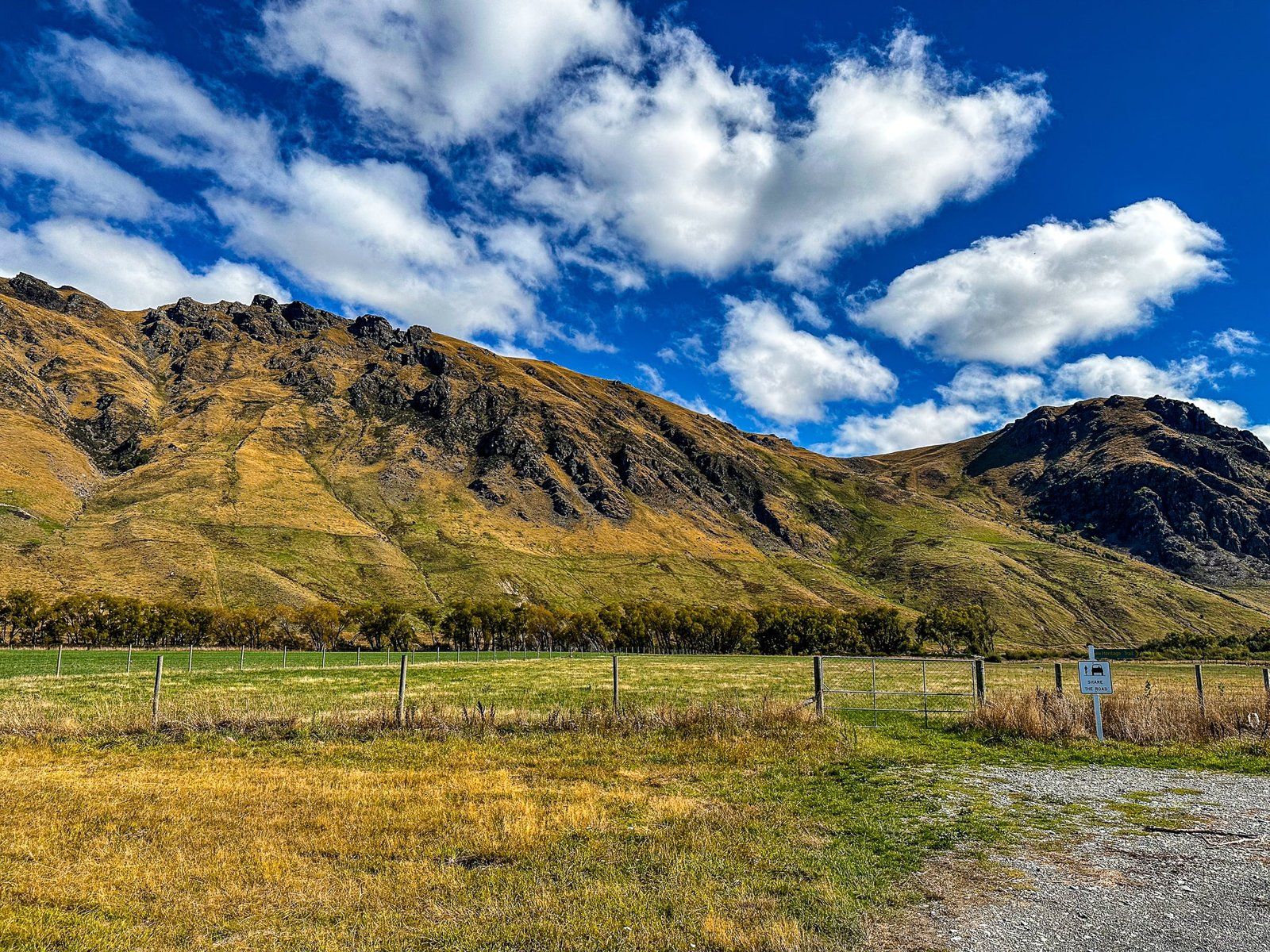
Red Tussock Conservation Area
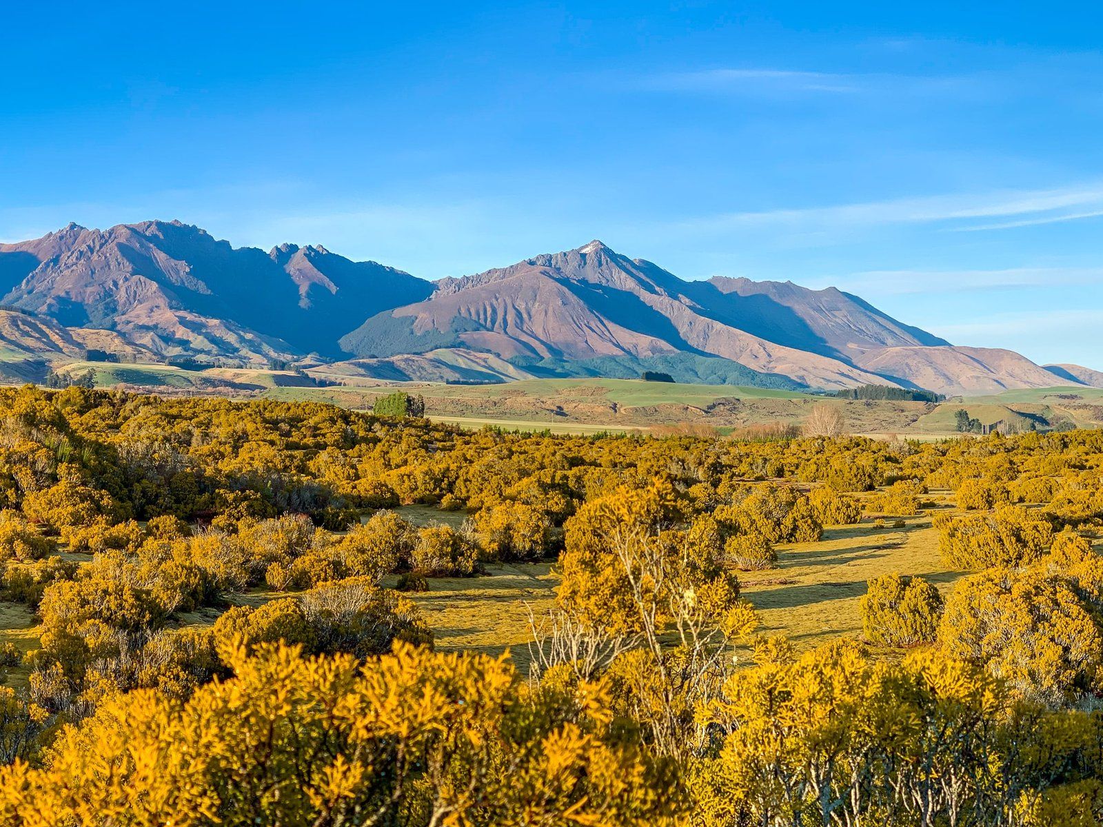
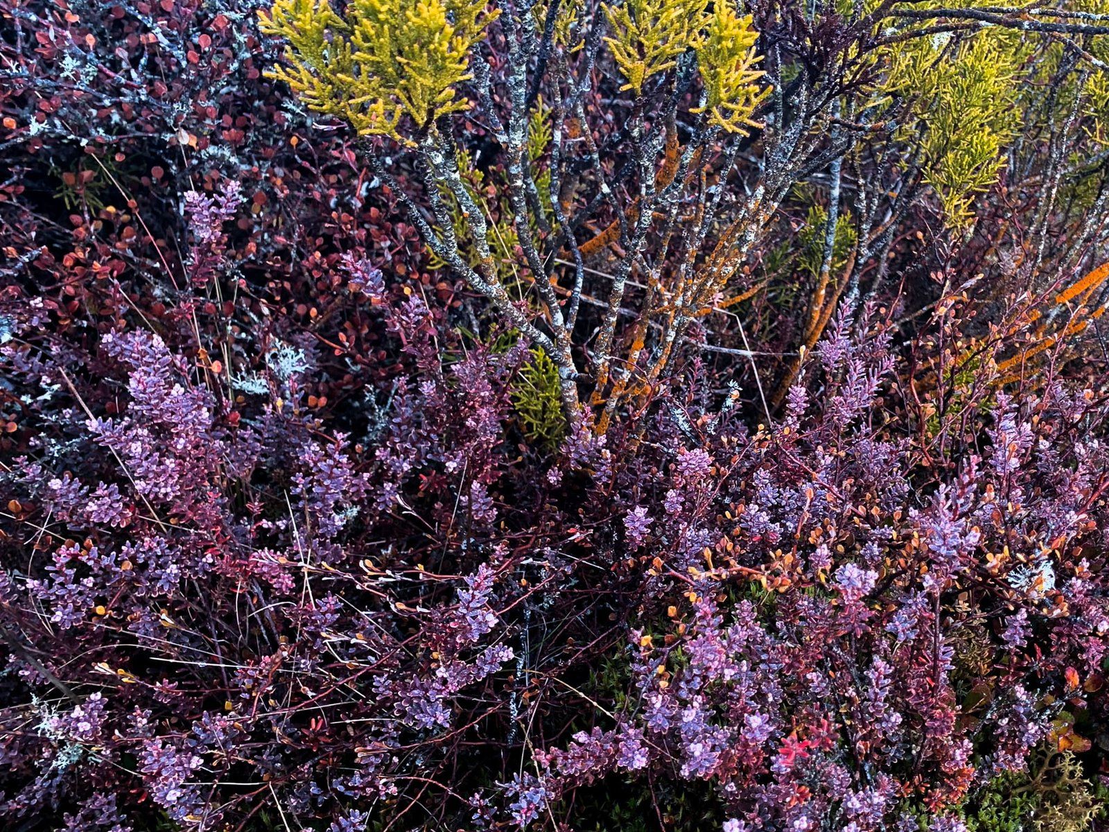
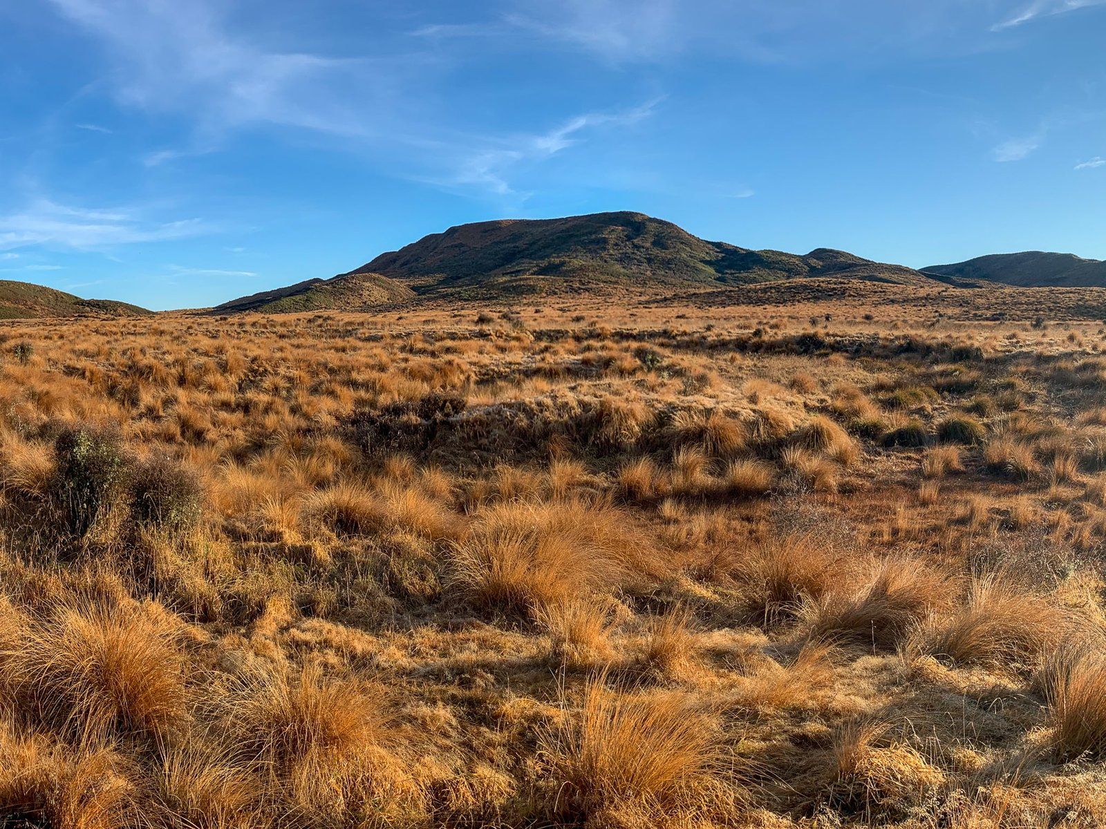
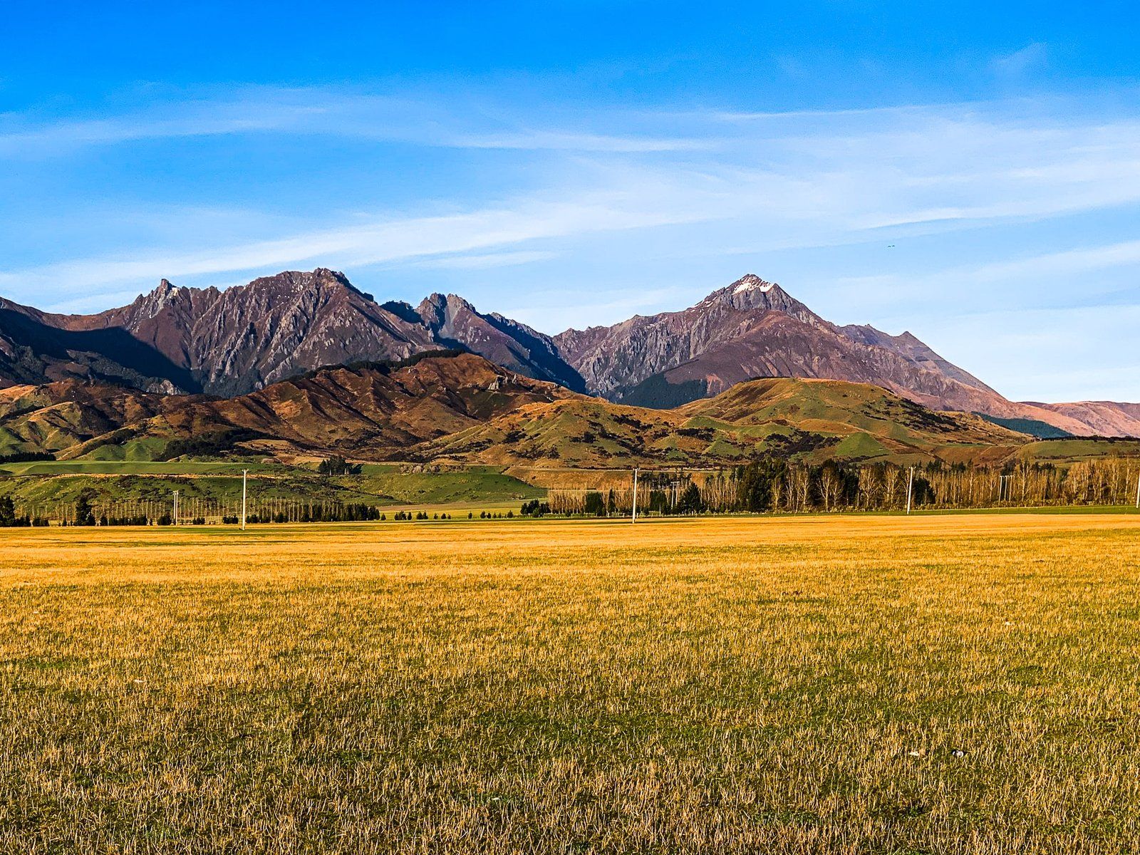
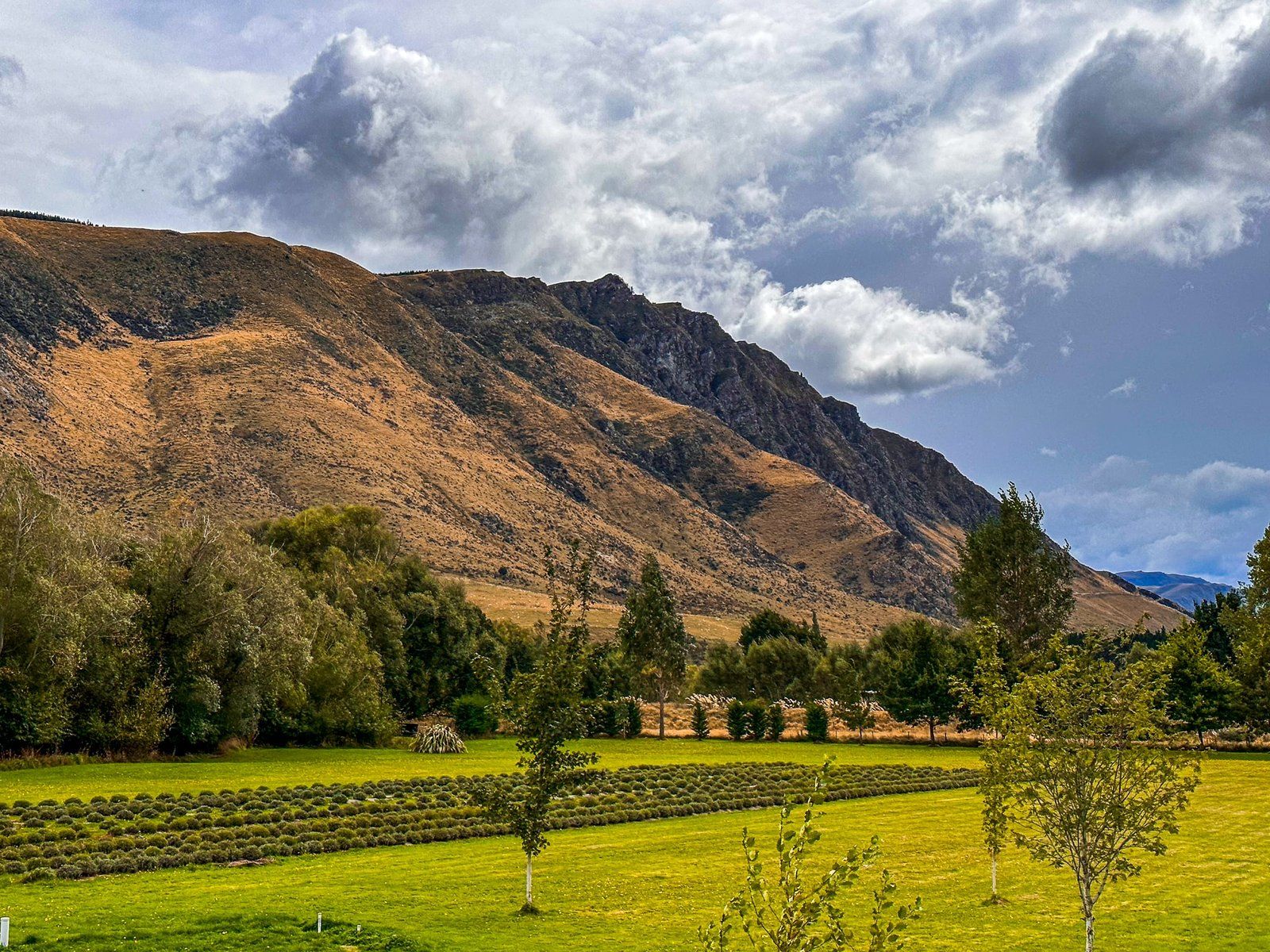
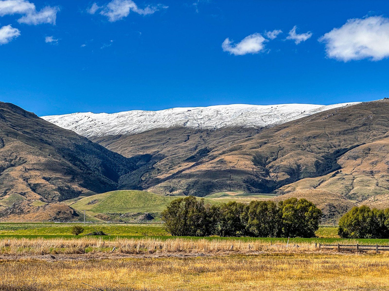
The Red Tussock Conservation Area is between the Key and Centre Hill, about 38 kms southeast of Te Anau. It is signposted with roadside stops in a couple of places, but easy to miss if you’re driving and not sure what to look for. In short, the farmed grasslands are replaced by a reasonably large area of protected native red tussock grasses. This red tinged tussock flows up the hill on the north side of the road with vibrant colour in the right light. It is also a contrast with the silver and golden tussocks you typically see in the mountains.
In the 1840s these tussocks were extensive in drier parts of the central and eastern regions of the North Island and the inland plains and lower mountain slopes east of the Southern Alps. But farming largely wiped out tussocks in the lower elevations.
Prior to European farming, these tussocks were valuable in themselves. They were known to Māori as wī or pātītī and were used for thatching roofs, lining the outside of dwelling walls and for bedding. The tussock’s ability to shed water led to the development of a waterproof rain cape, known as a pōkeka pātītī, or whītau.
There is also a nearby stop with superb views across farmland to the Takitimu Mountains.

Garston
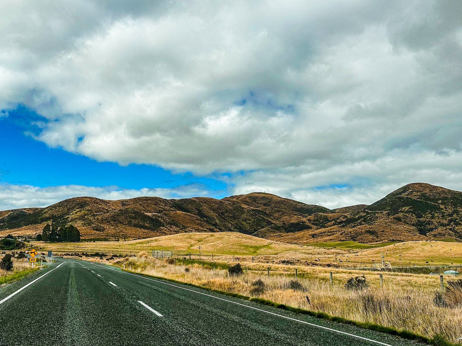
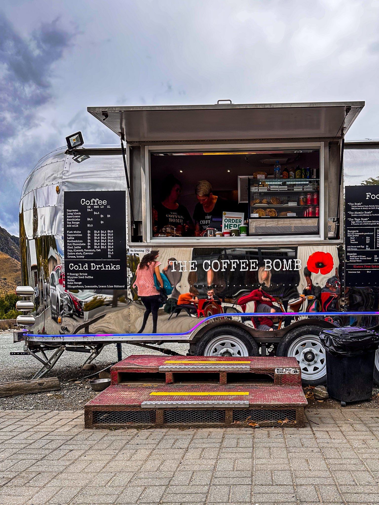
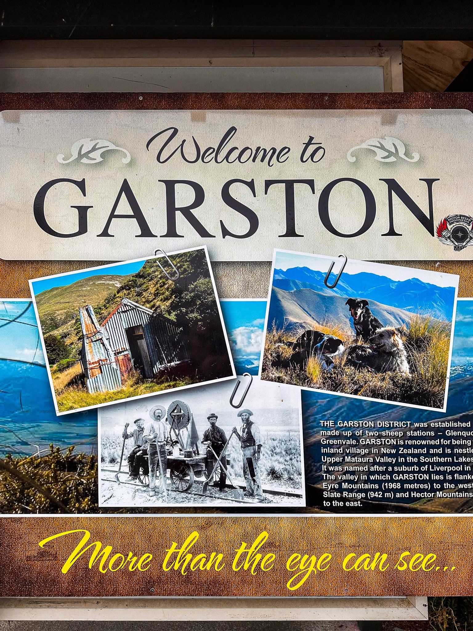
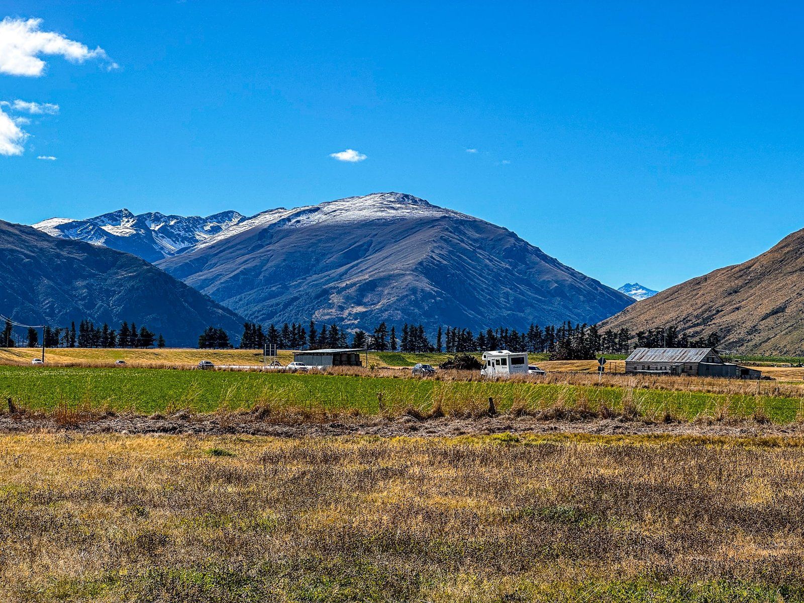
Garston is in the Mataura River valley, between the Eyre Mountains to the west and Garvie Mountains to the east. From Centre Hill, the Southern Scenic Route changes from SH94 to a brief shortcut on SH97 to connect with SH6, which takes you into the Mataura River valley, then on to Queenstown. There are various places you can stop for a coffee once past Centre Hill – Mossburn, Athol and Garston – but Garston is probably the most eye-catching.
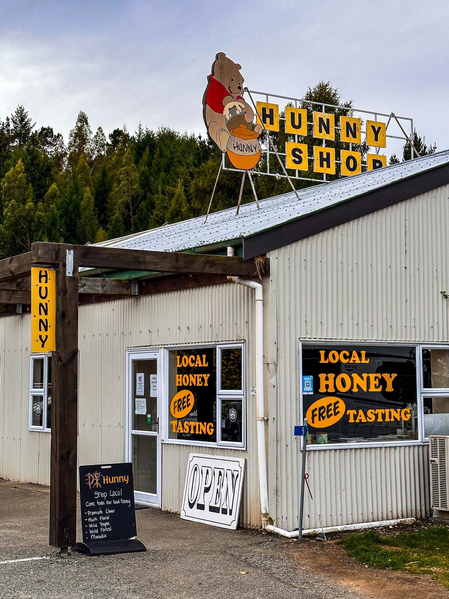
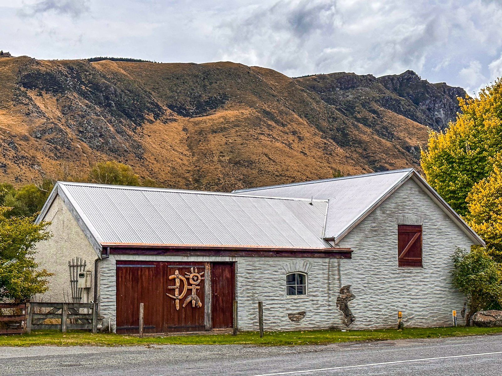
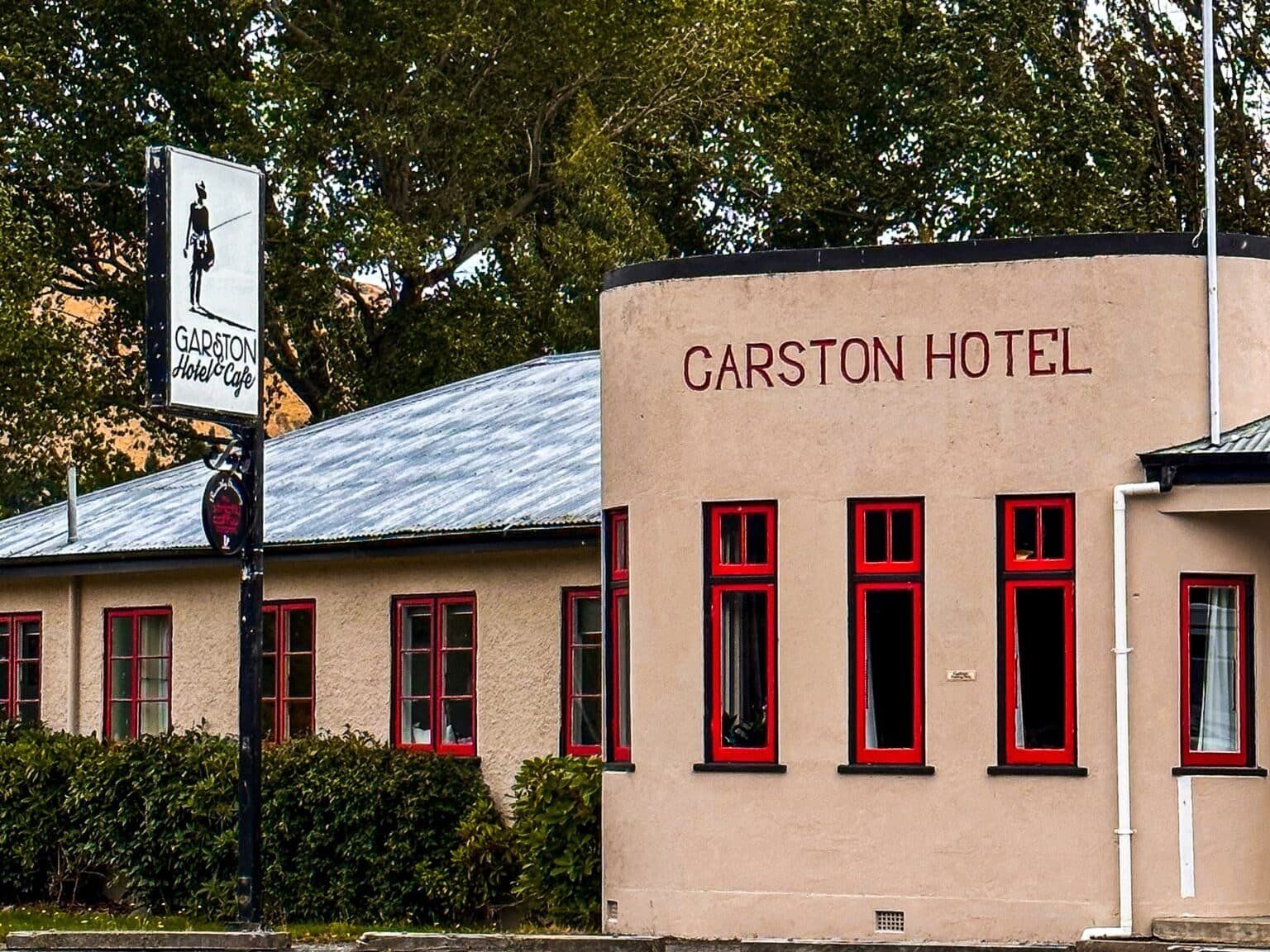
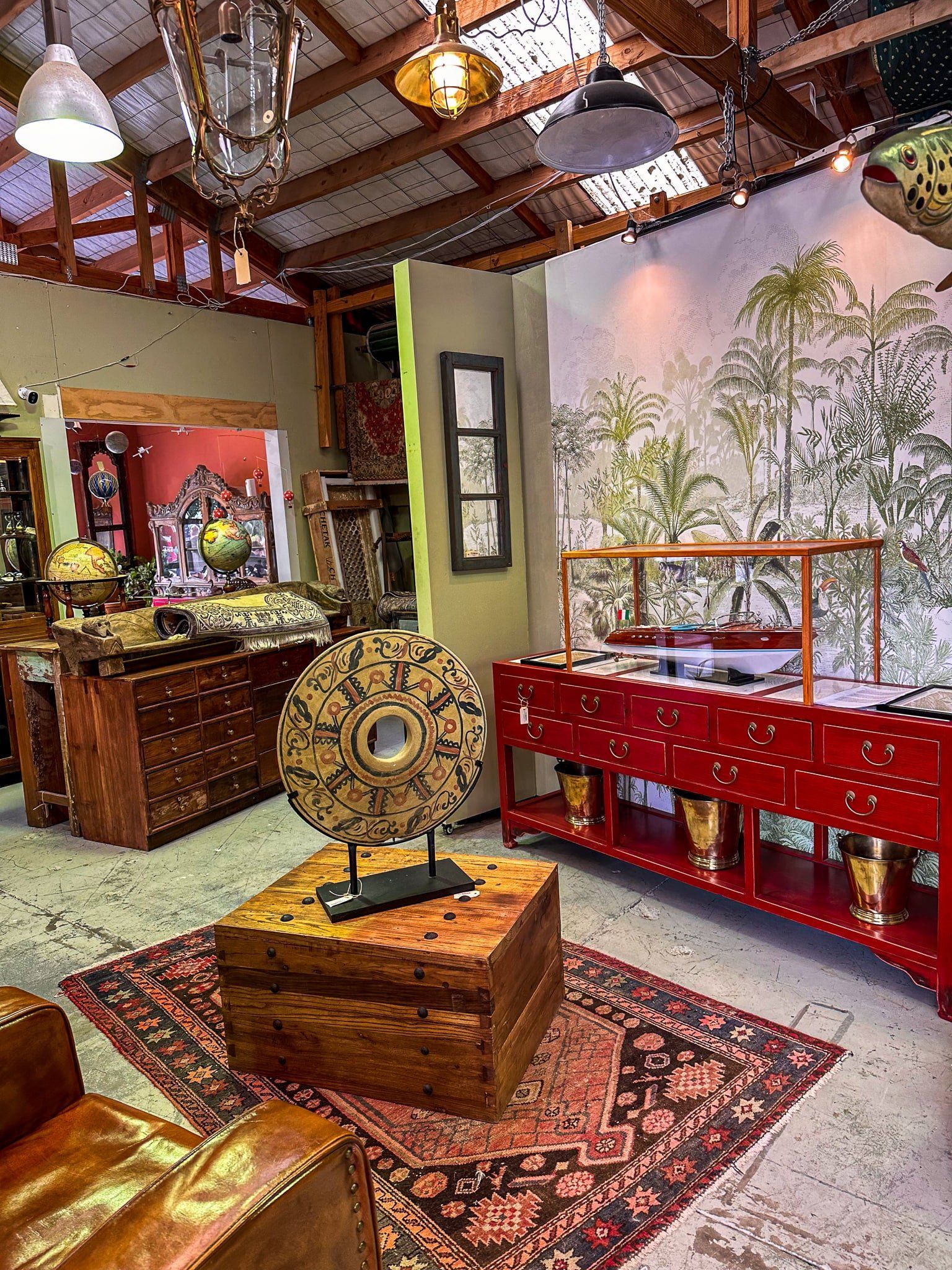
The town is tiny with about 100 residents, but it has a historic pub, a cool caravan cafe and a superb antiques store and art gallery. Throw in a honey shop and focus on local history and you’ve got a perfect NZ small town. It also has an oddball claim to fame as the most inland settlement in the country. Trout fishing on the Mataura is also considered to be memorable.
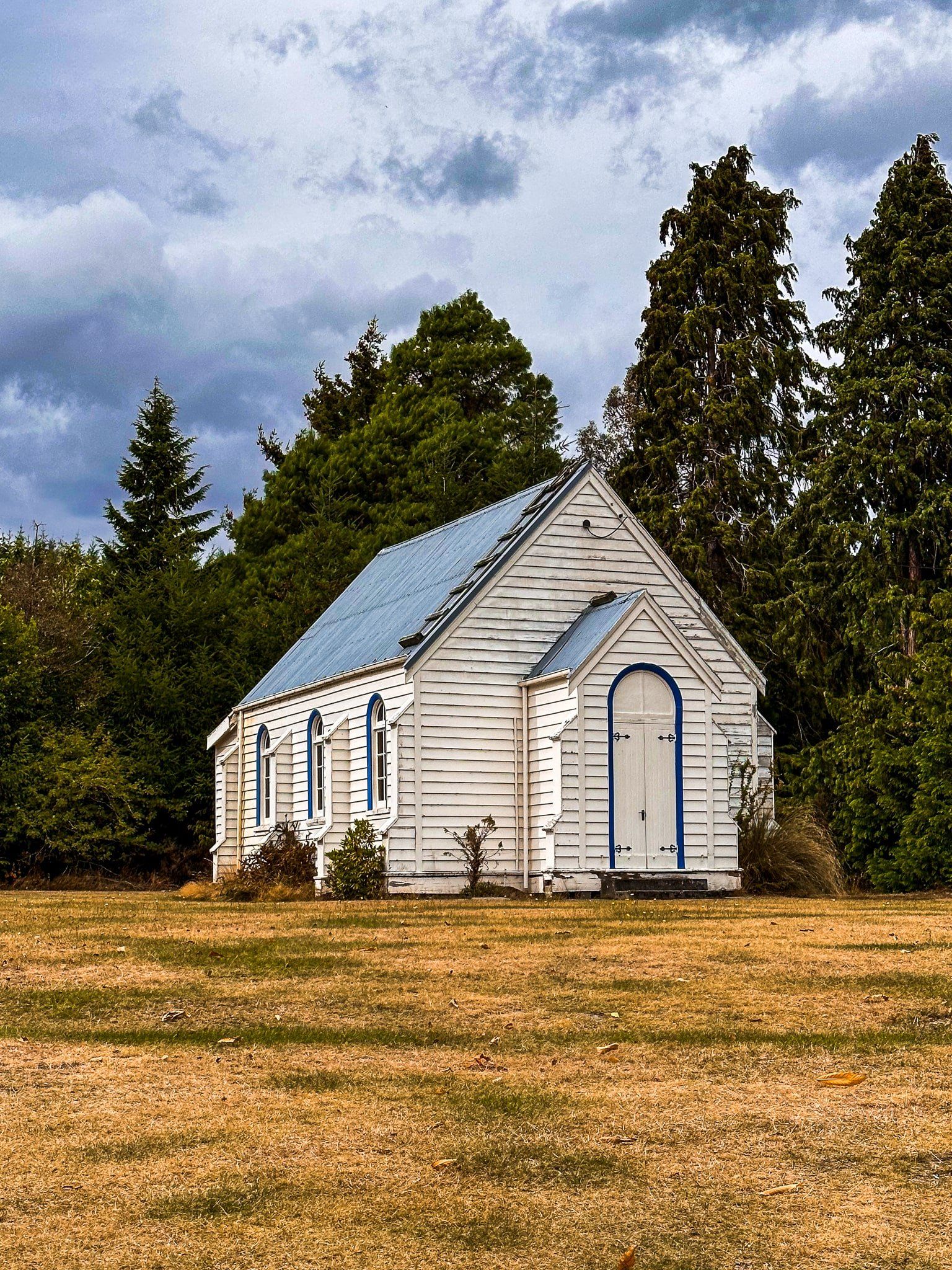
Garston was established as farming developed throughout this part of Southland between the 1850s and 1880s. There is a single street behind the shops with a couple of cute churches. You will see the remains of the railway line that was established in the 1880s between Invercargill and Kingston on the south side of the shops. Garston was also a gateway to gold mining in the nearby Nokomai and Nevis Valleys, in the Garvie Mountains. Gold was discovered in 1862 and there were 2,000 people in the immediate area at the late 1800s peak. The nearby (now largely disappeared) town of Nokomai had up to 20 pubs. Mining stopped by the 1940s, but the last gold-seeking activity was as late as the 1990s with dredging in one of Nokomai River tributaries.
If you would like to learn more about Garston and the surrounding region, read Lynn Mcnamee’s wonderful article.
Roaring Lion Trail
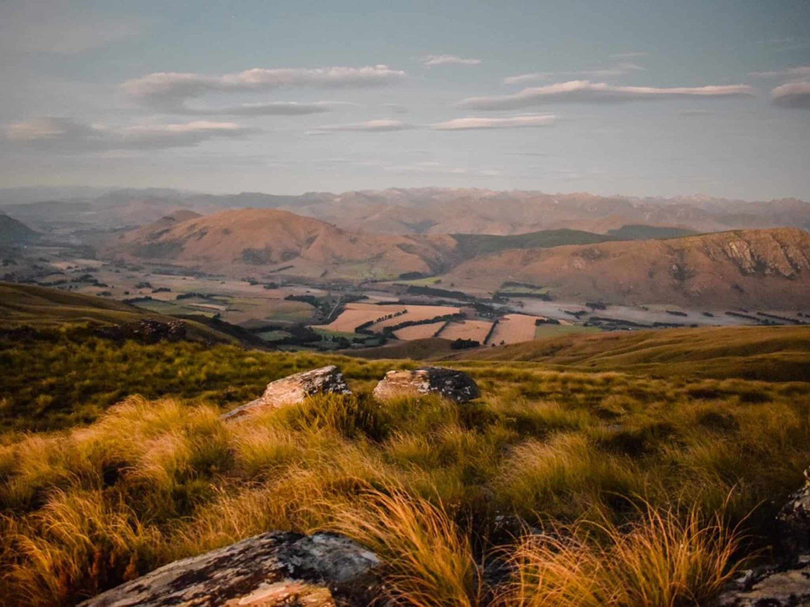
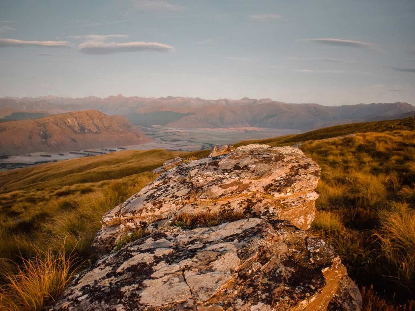
Nevis Road is about 1.5 kms north of Garston and climbs to almost 1,000 metres to the start of the Roaring Lion Trail on the edge of the Garvie Mountains.
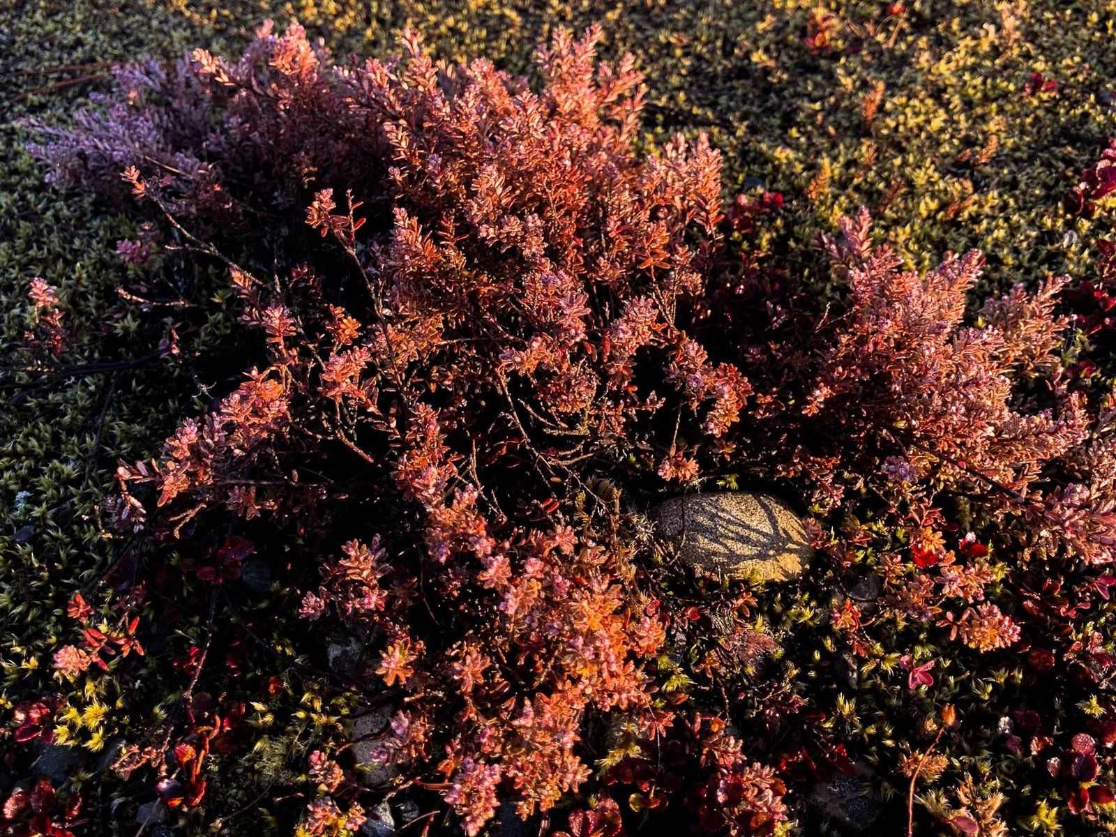
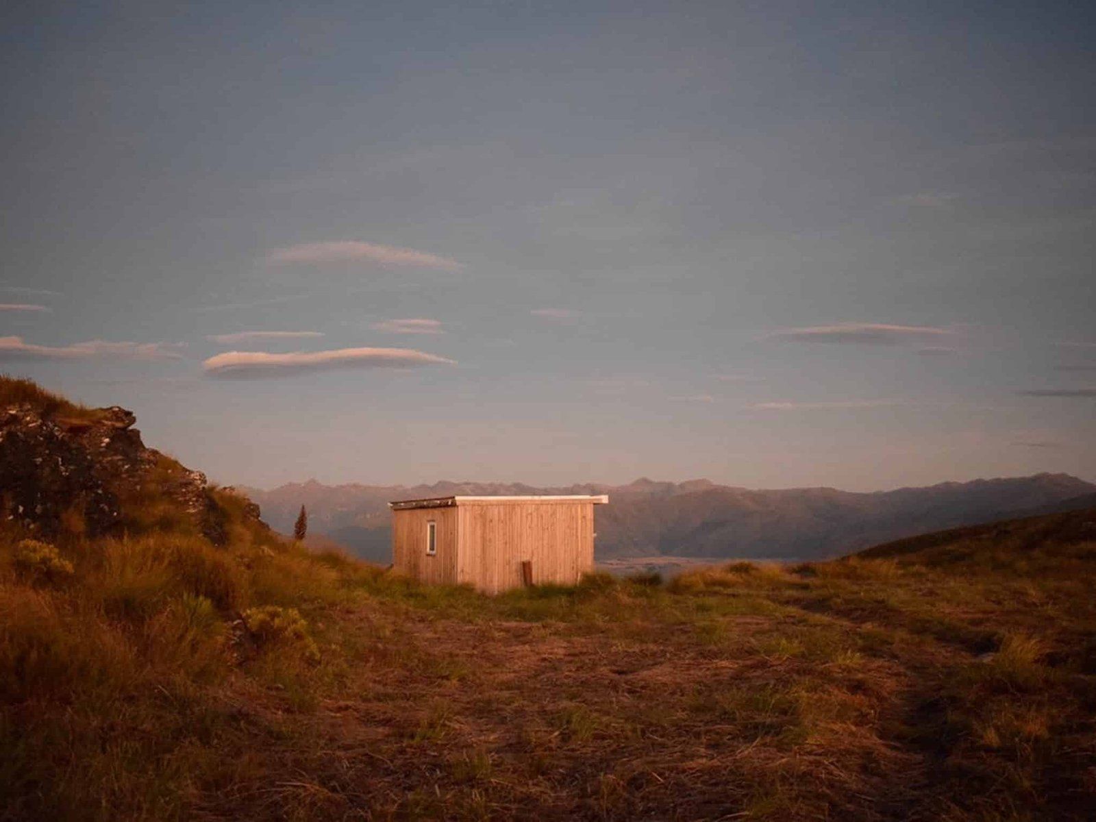
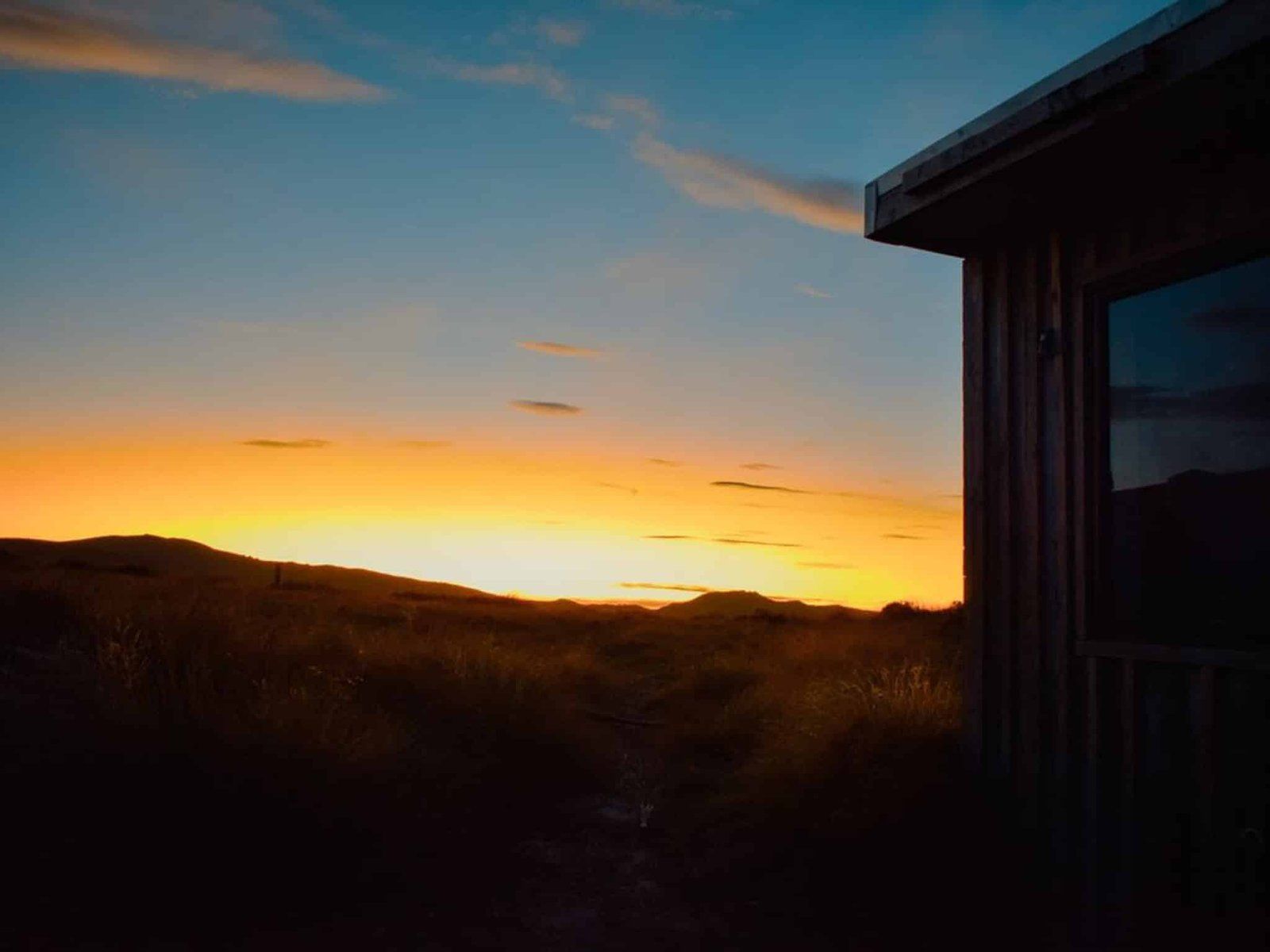
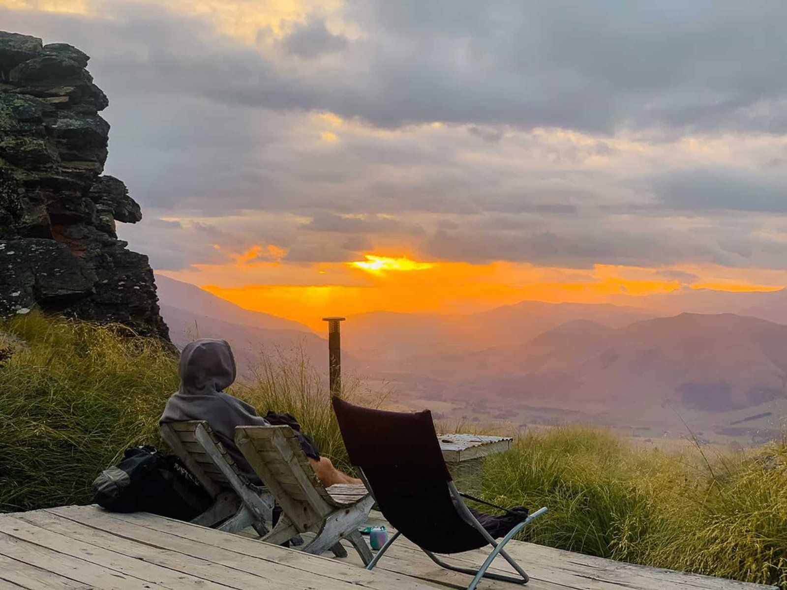
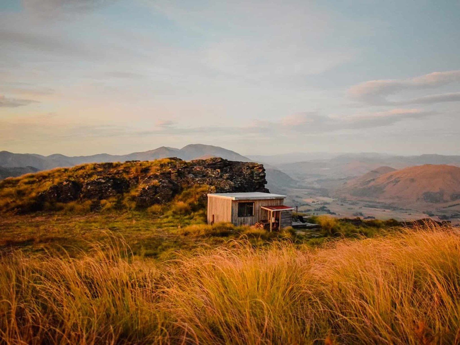
Georgia (@the_cornishpixie) kindly provided us with some pics from a recent visit to the Slate Hut on the Roaring Lion Trail.
The Roaring Lion is a private trail established by Tom and Katie O’Brien around 2013, managed by their business Welcome Rock. It was hand-built by Tom on high country land that had been part of the family station since 1911. The land was later placed under a conservation covenant by Tom’s parents.
The trail runs for 27 kms, mostly through highland tussock. Stretches follow the Roaring Lion historic water race, developed to move water to the gold mining activities in the Nevis Valley. The last section is 7.5 kms along the Nevis Road to complete a loop back to the ski hut.
There are three huts on the trail that you can book on the website, accommodating four to six people each. The Slate Hut, which sits at the Welcome Rock high point (1,130 metre), features in Georgia’s pics. Otherwise, it is a modest day fee to walk or bike the trail (allow 8 hours to walk).
The trail is accessed from the south end of the Nevis Road, off SH6 near Garston, about 45 minutes from Queenstown. This road climbs to 980 metres at the Historic Garston Ski Hut parking area.
If you have a 4WD, you can continue on along the Nevis Road into the Nevis Valley, where there are more remnants of the gold mining community. From there, you can drive over Duffers Saddle, between the Carrick and Old Woman ranges, and down to Bannockburn. Note that 2WD access to the Nevis valley is possible from the Bannockburn side.
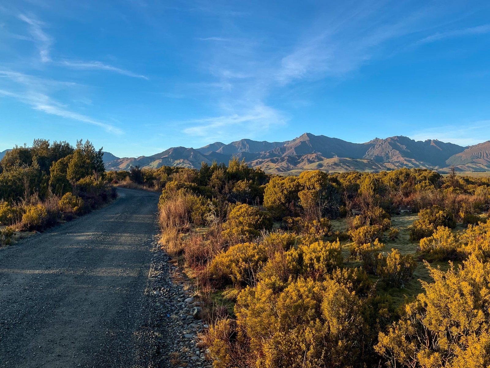
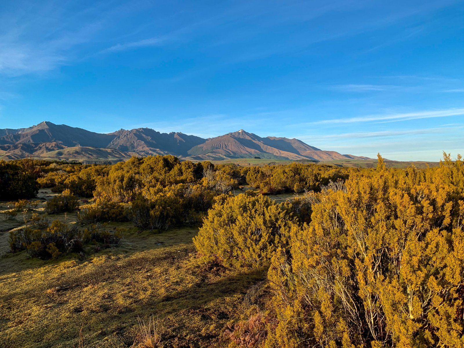
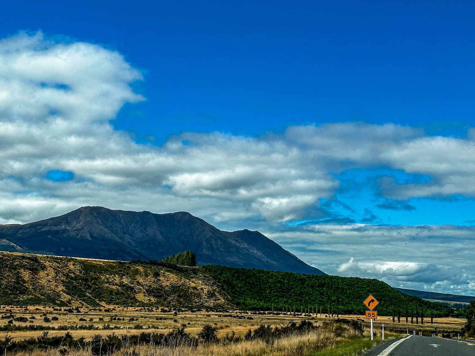
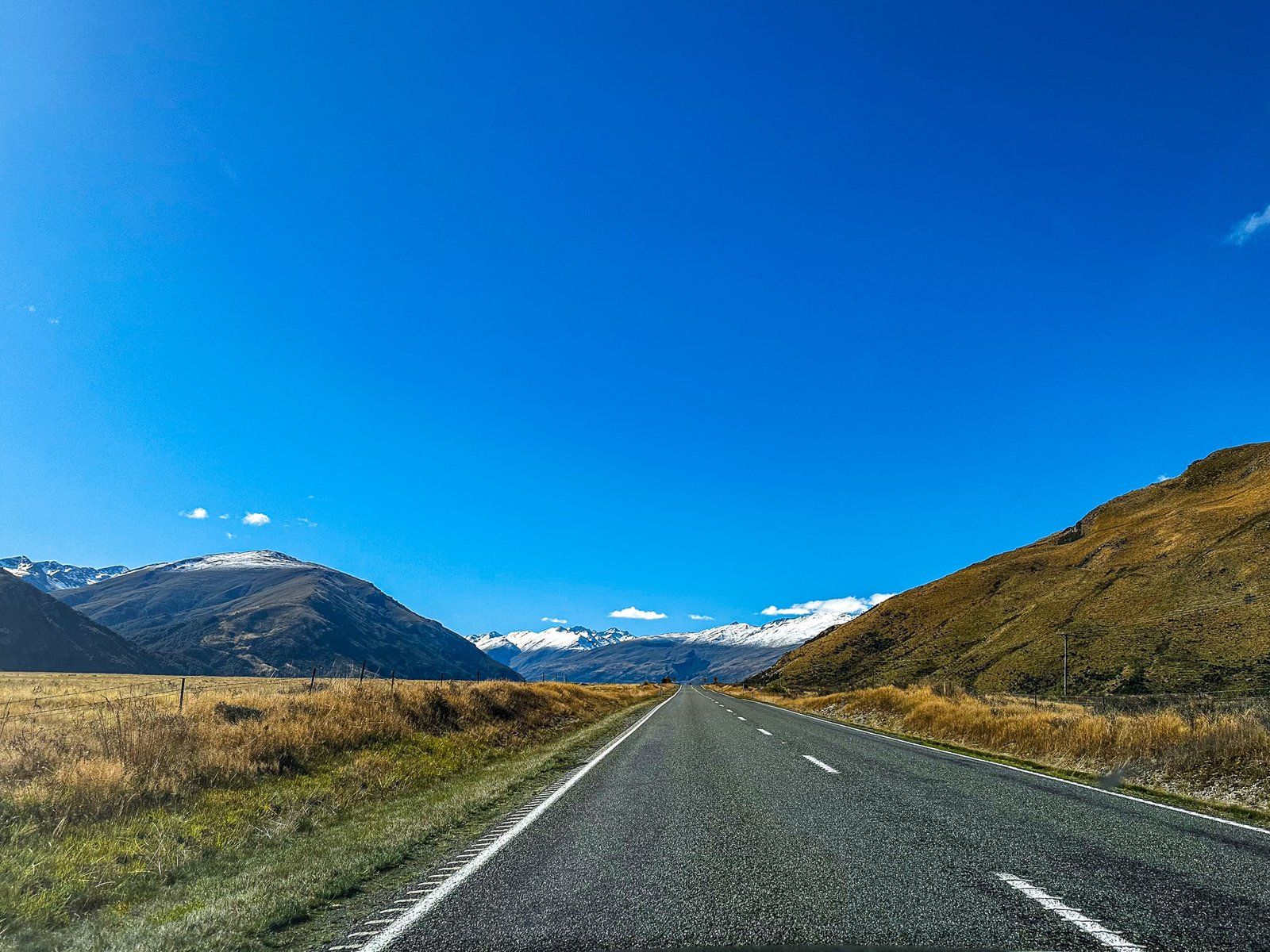
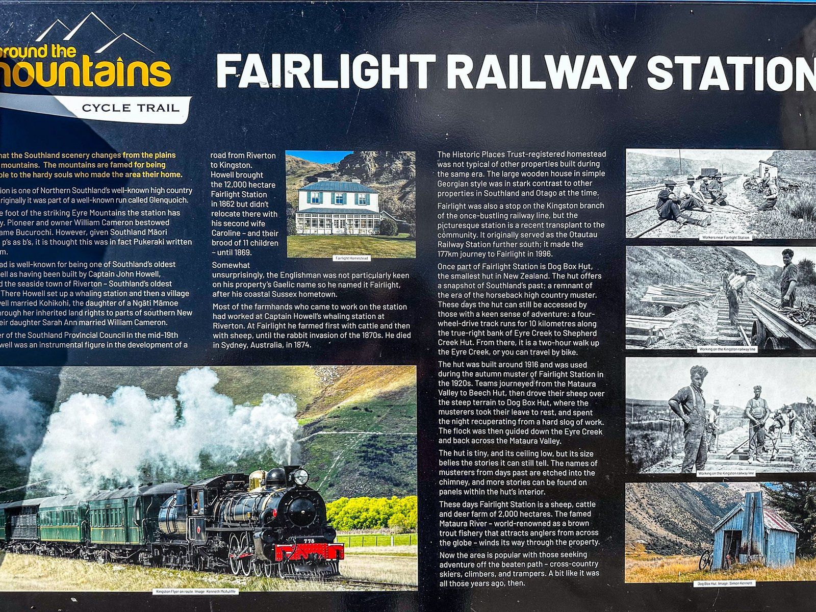
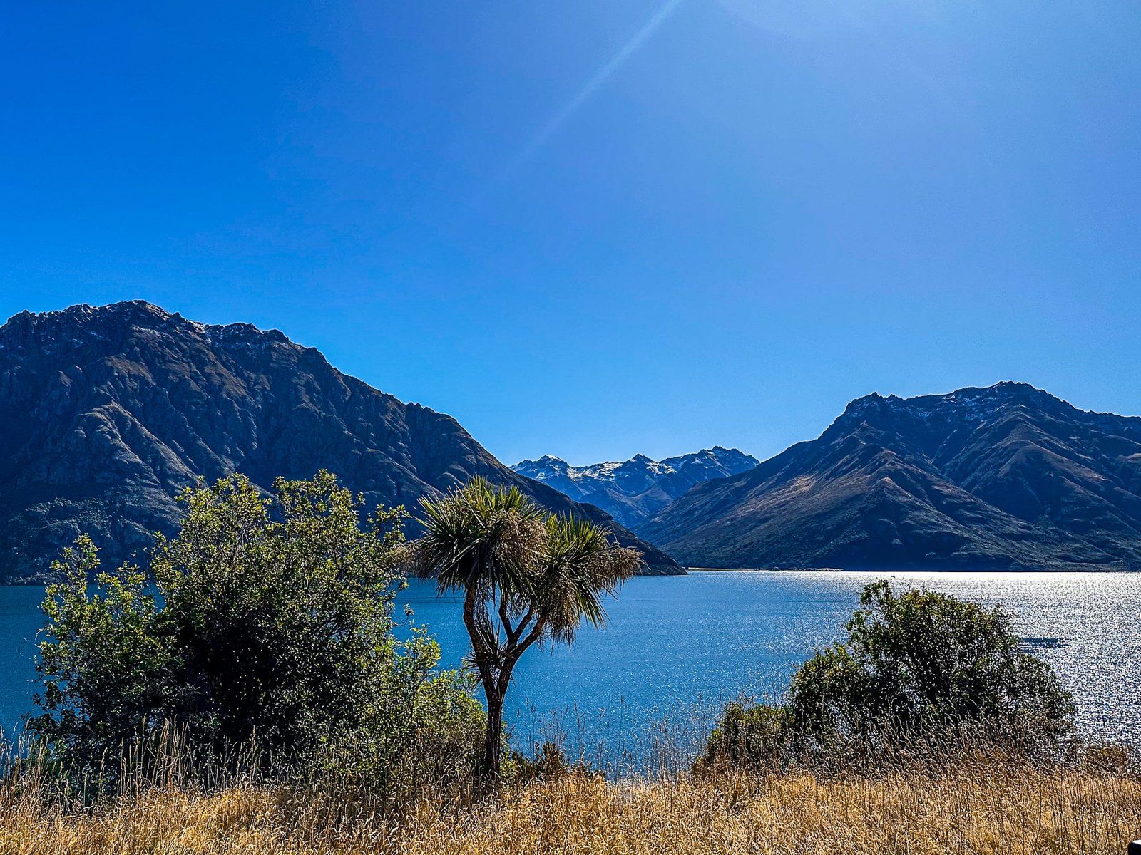
Fairlight
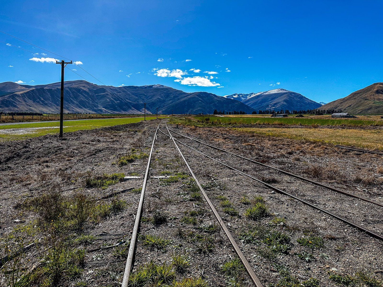
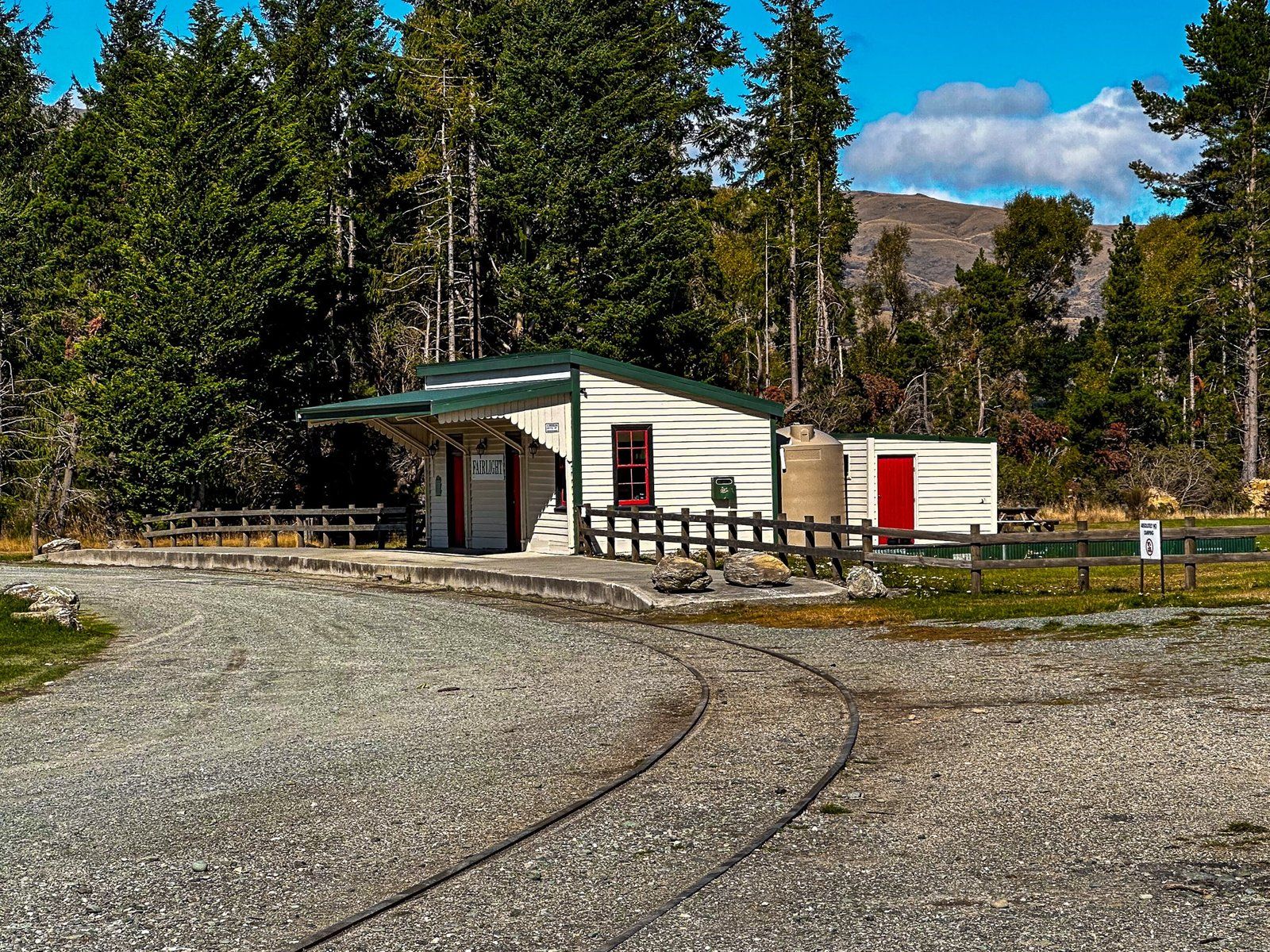
Fairlight is at the end of the Mataura River valley, just off the Southern Scenic Route, about 10 km north of Garston. There is nothing there apart from a small historic rail station, with some excellent explanatory panels, that marks the end point for the tourist steam train trip from Kingston at the south end of Lake Wakatipu. It’s also a toilet break on the Around the Mountains Cycle Trail.
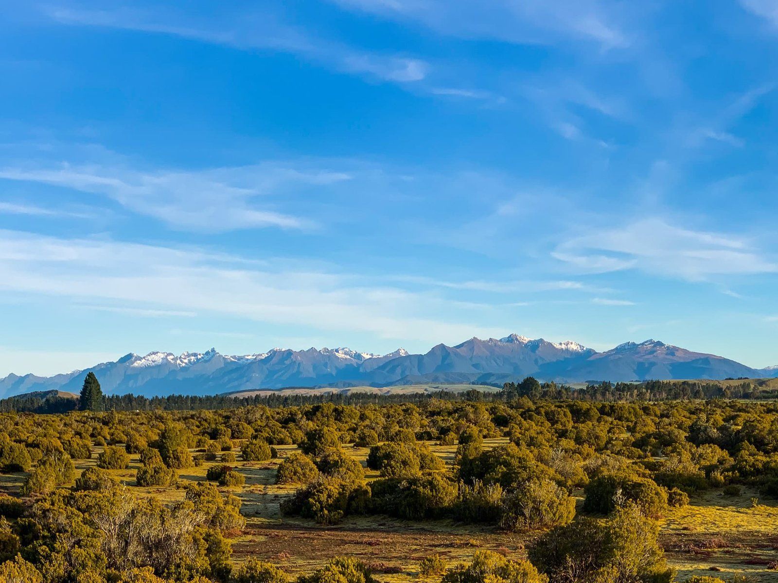
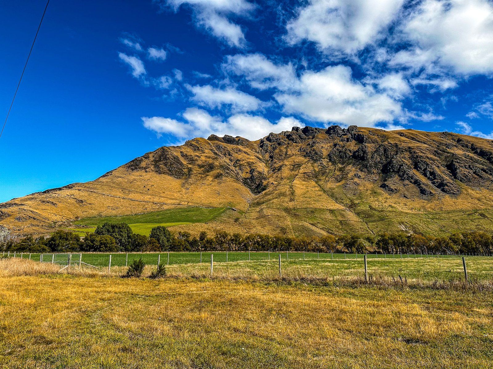
But the landscape backdrop to Fairlight is superb. To the east is a prominent, rocky and steep mountain face with a high point of 967 metres largely covered in golden tussock. It oddly appears to have no name of its own, but it is the start of the Eyre Mountains which run to the south and west sides of Lake Wakatipu to Mt Nicholas, and provide the main attraction for the cycle trail. To the east is the Tapuae-o-Uenuku / Hector Mountains and to the north is Trotters Plain. This is a wide, mostly flat post-glacial valley that runs up to Kingston and the south end of Lake Wakatipu.
It is pretty much a straight line along the plain, with plenty of safe places to stop for photos.
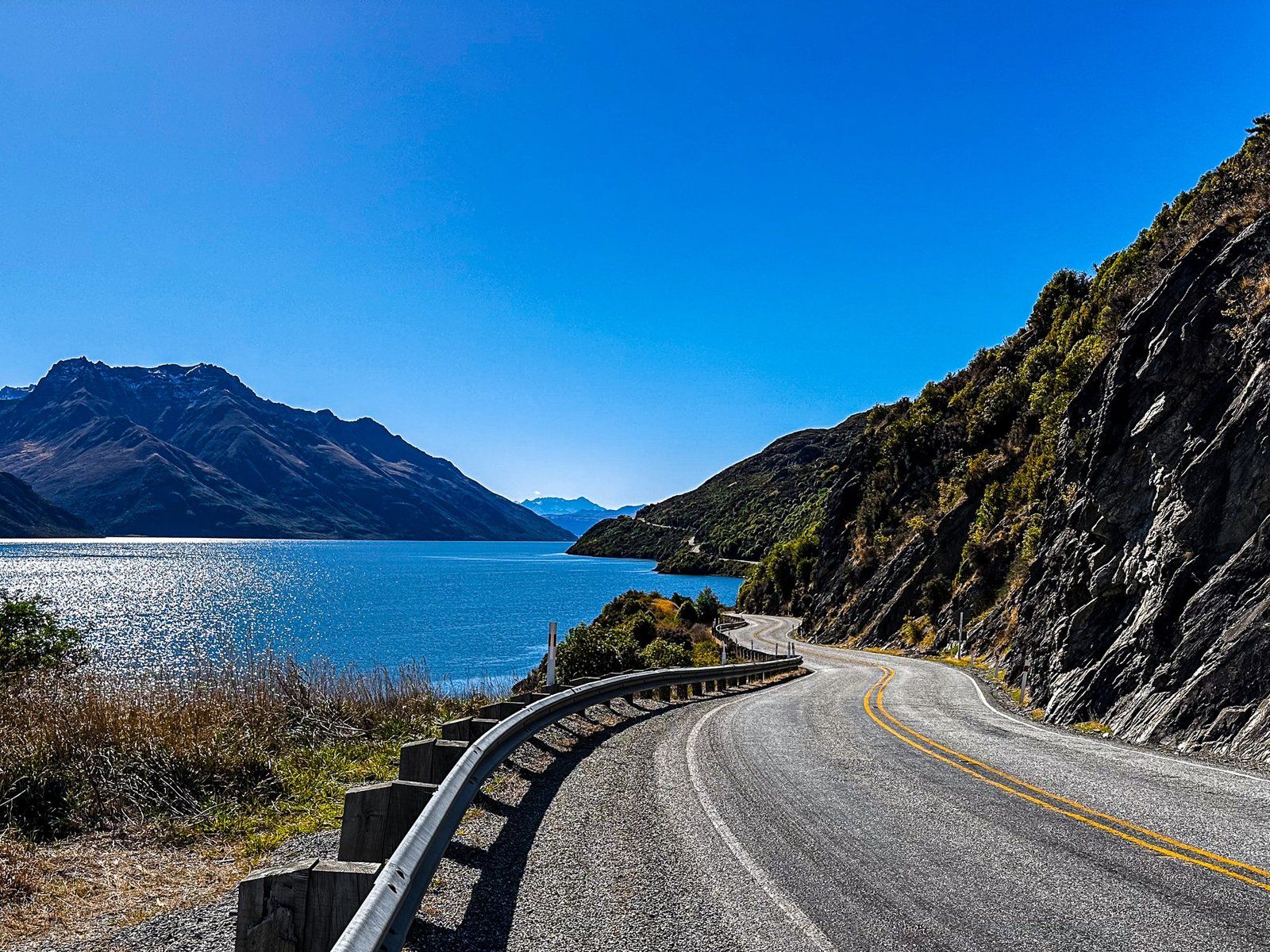
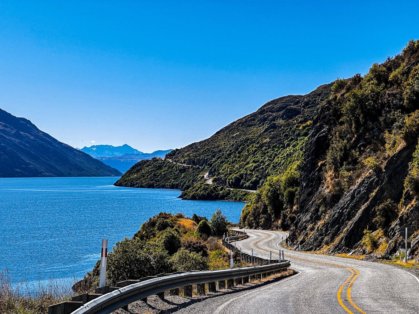
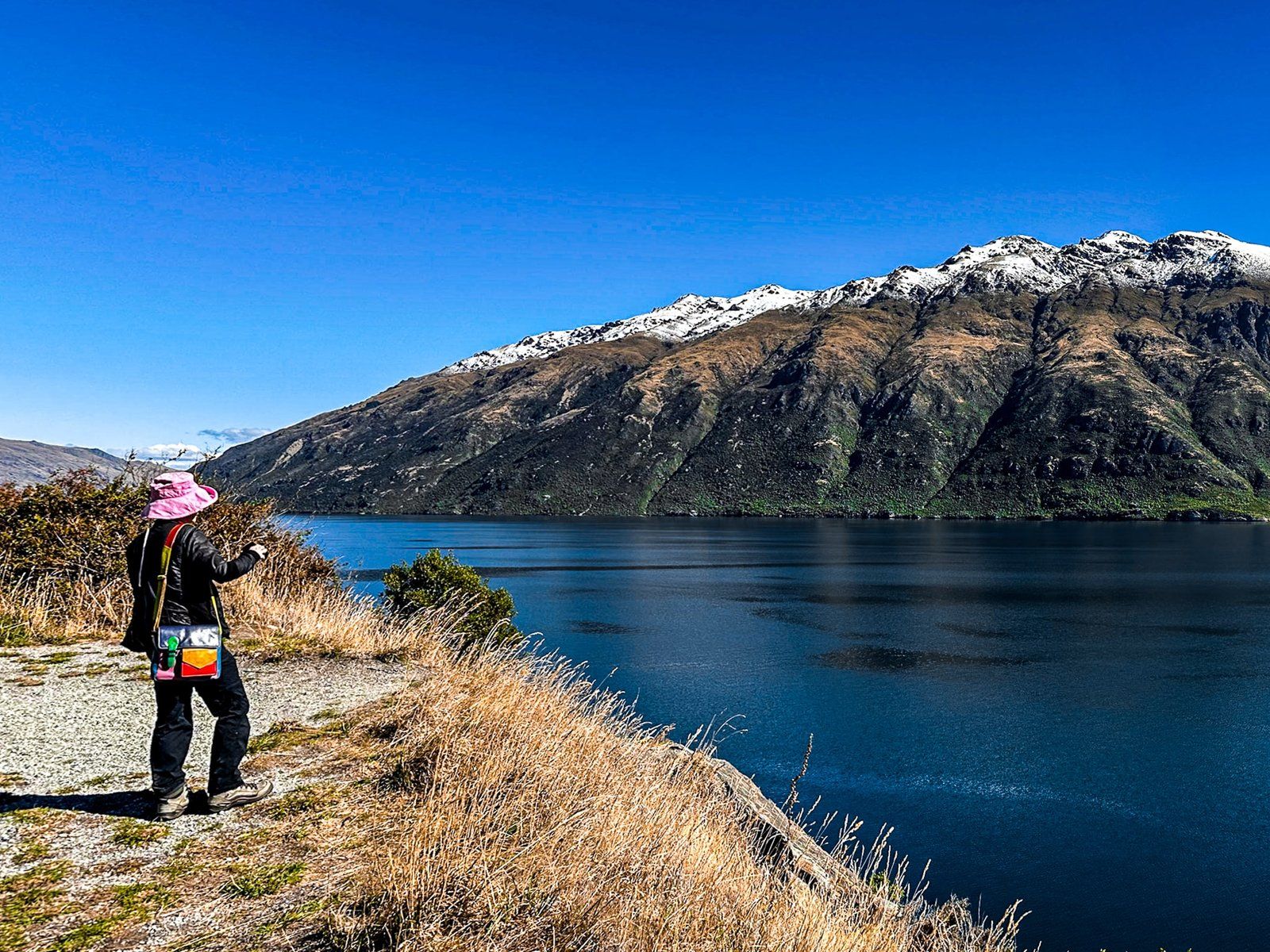
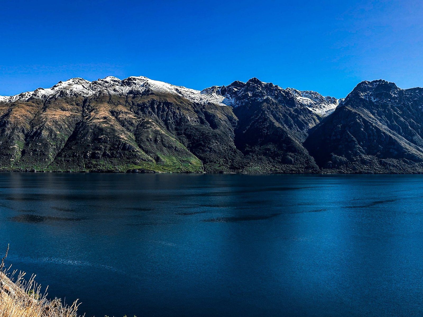
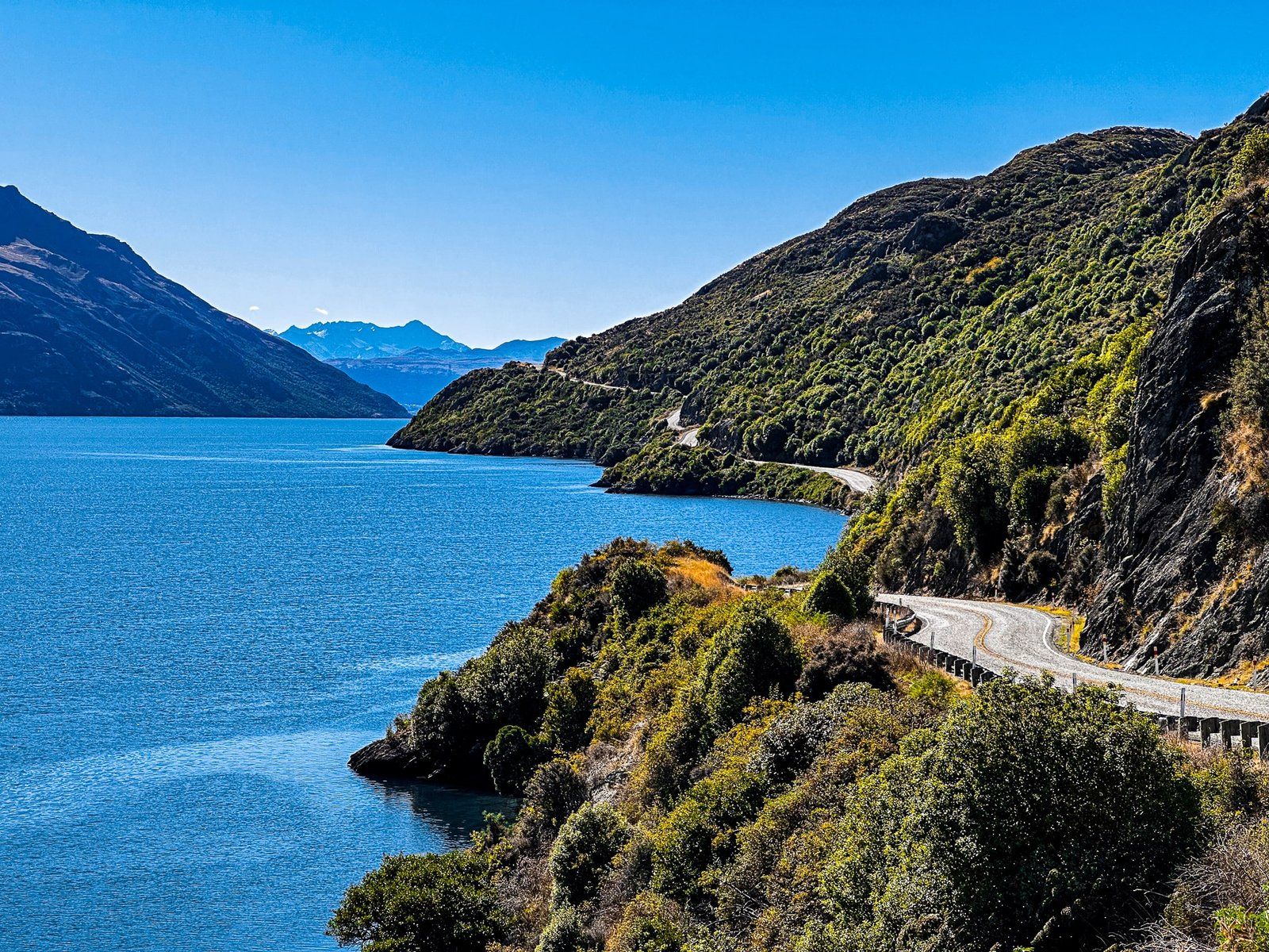
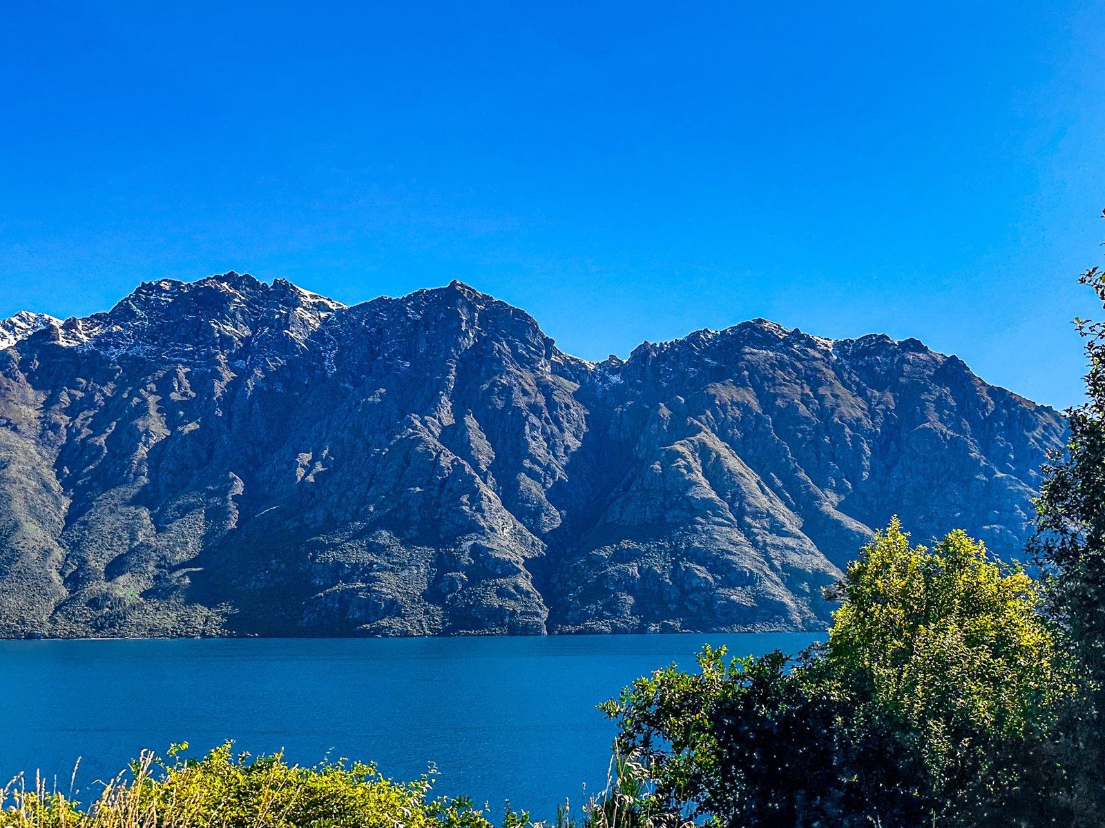
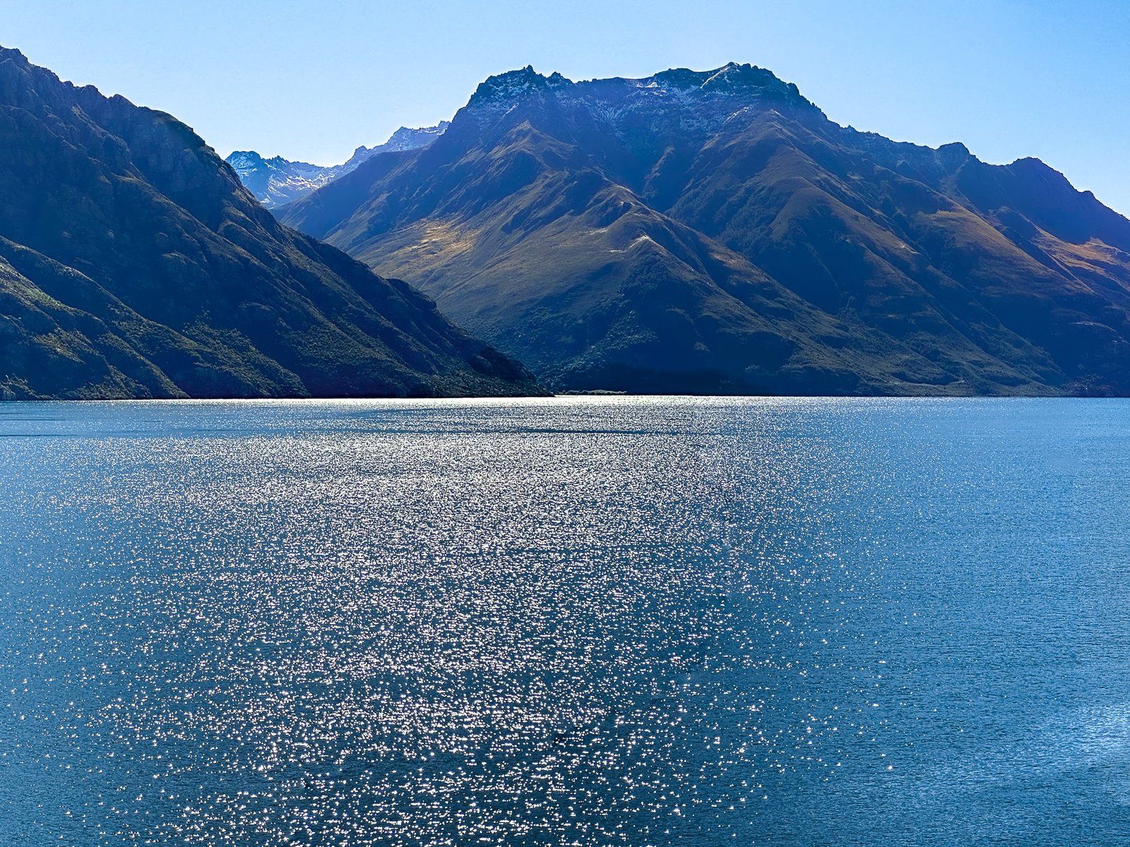
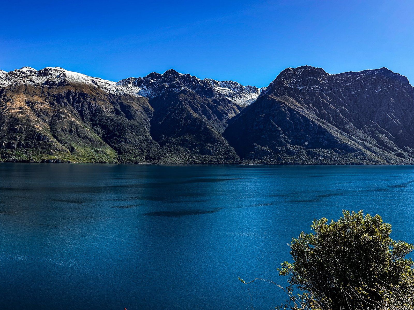
Devils Staircase
From Kingston, the Southern Scenic Route follows the edge of Lake Wakatipu for about 35 km to Drift Bay. This is one of several spectacular lakeside and coastal drives in NZ, with several safe places to stop for the view. Of these, the best known is Devils Staircase, a short winding section, first carved out of the cliff 40 metres above the Lake during the Great Depression. This was a time which seems to have been particularly popular for developing scenic highways (including Scenic Drive in Auckland and Milford Road in Te Anau, amongst others).
The new road displaced the previous steamboat ferry service from Kingston to Queenstown (the Earnslaw, still running as a lake cruise). Apparently, hundreds of cars lined up at the opening for the views on a drive through to Queenstown. Today, there is plenty of parking at the top of the twist in the road, with a spectacular 180 degree view.
The source of the name predates the road, and appears to reflect a couple of adventures people had when it was a rough edgy track high above the lake. Supposedly some cattle fell off at one stage and an early explorer was stuck there for a night. His (somewhat dramatised?) recounting led to the name.
Want more Trip Ideas?
Check out our blog series on the Southern Scenic Route: Best of Fiordland and Best of Milford Road, plus check out the perfect addition to a Southland trip – Rakiura Stewart Island.