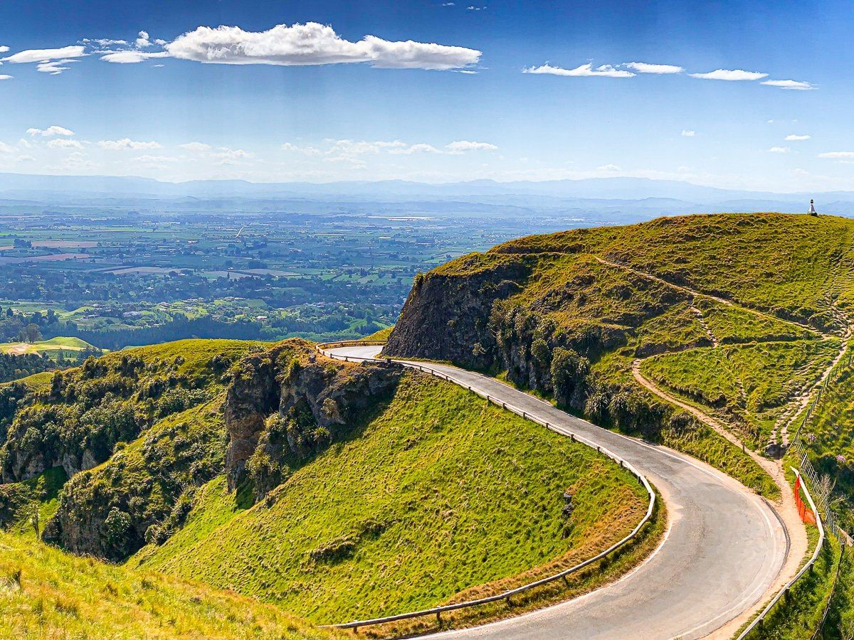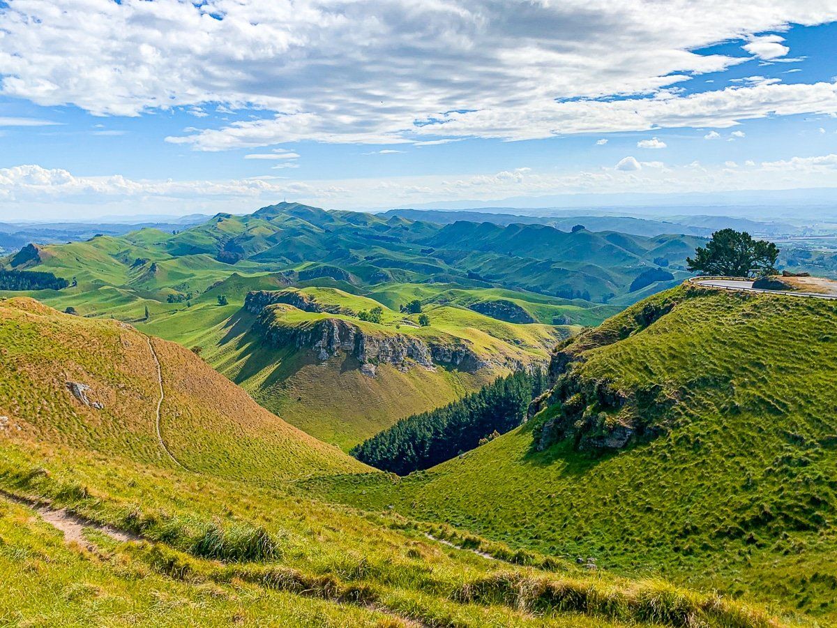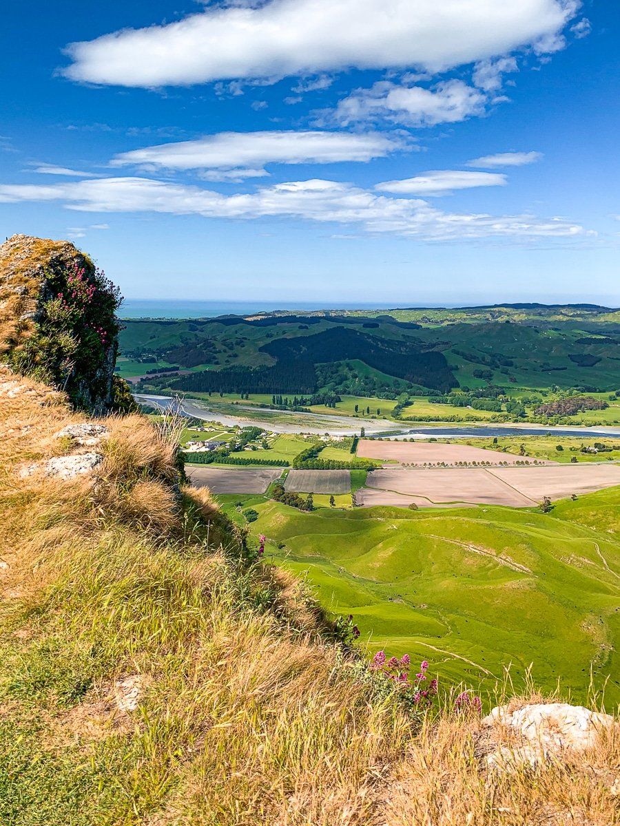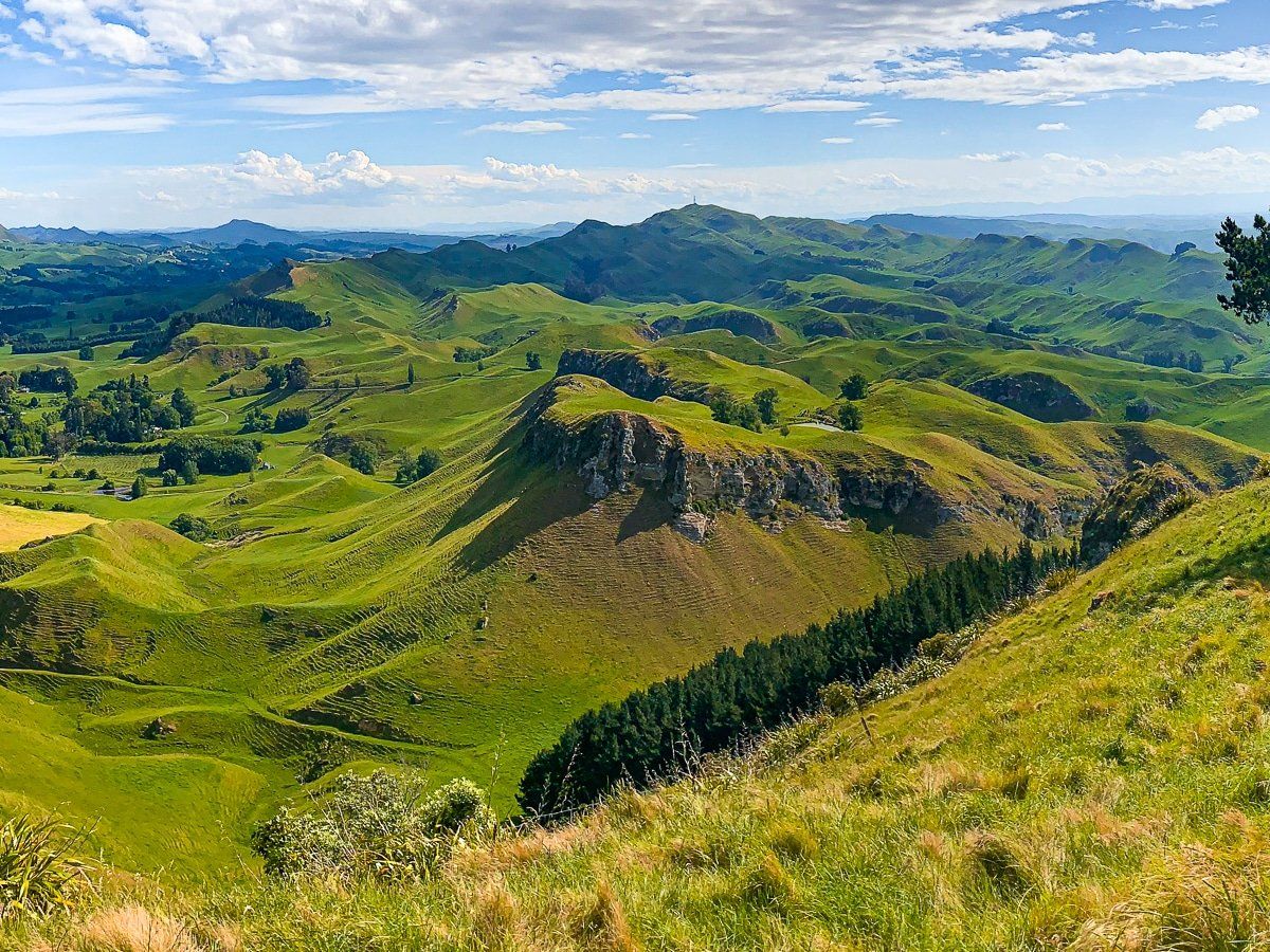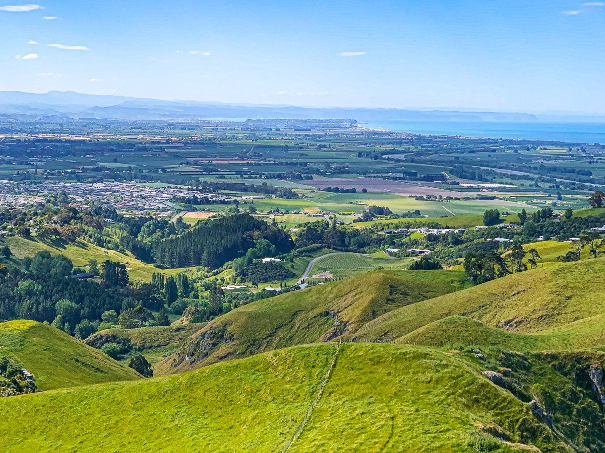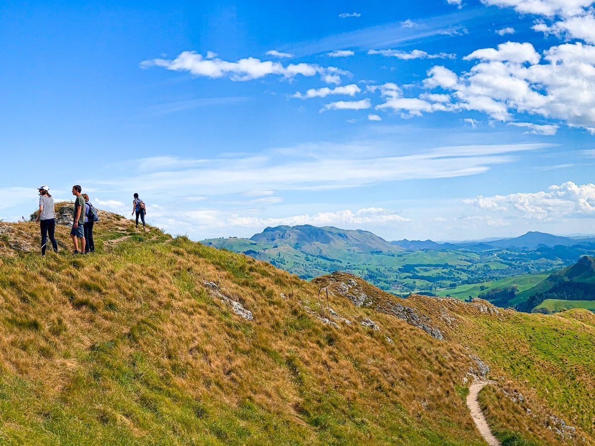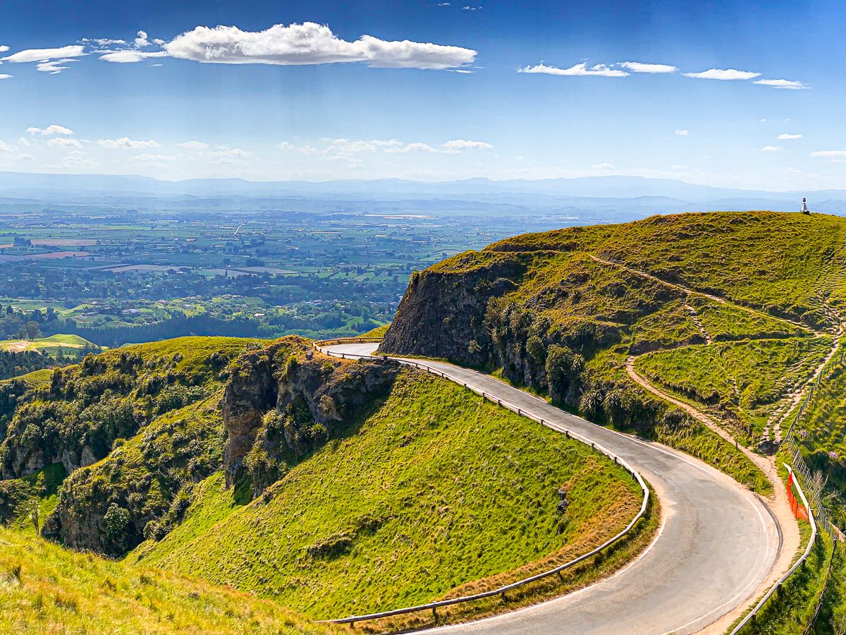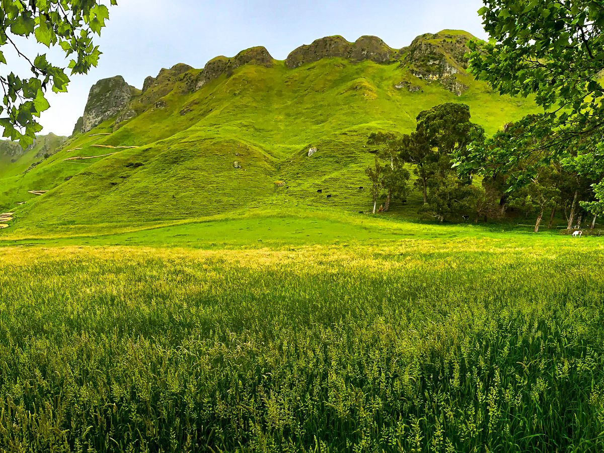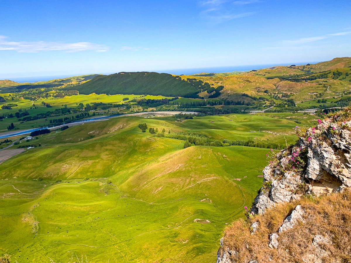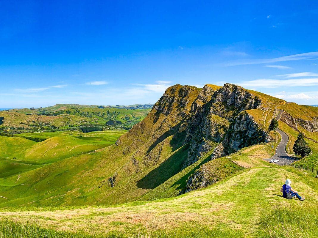
Once you have had enough of the town and vineyards around Napier and Hastings, head to Te Mata Peak. The peak is 399 metres high and spectacular, with a high cliff on the east side. It was created two million years ago when the sea floor rose up. Erosion has since carved out extraordinary shapes over the peak and ridges. There is one view from the top that is particularly popular with photographers.
Ngāti Kahungunu iwi had a long association with the peak but was badly affected by the invasion of and war with Waikato iwi in the 1820s. The peak was part of the land acquired by John Chambers for farming in the early 1860s. Amongst other things, the Chambers planted a grove of 223 redwoods in 1926, the highest of which is now over 40 metres. In 1927, the family gifted the peak for all to enjoy.
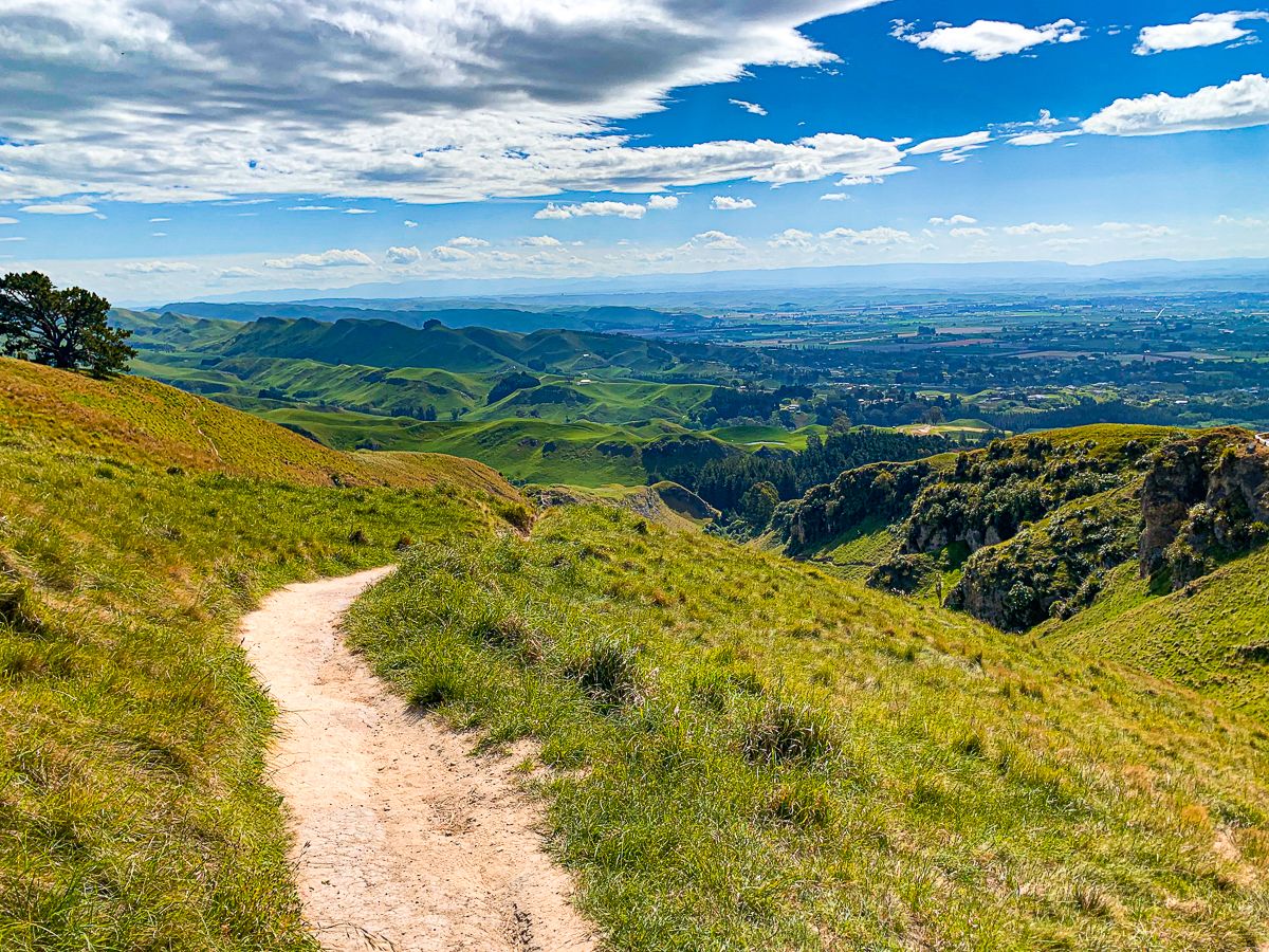
The peak is unusual because it’s a hilltop viewpoint you can drive to. You can hike up as well and allow 2 to 4 hours to return depending on where you start, with multiple options and intersecting tracks. On our map, we have marked the Rongokako Trail, which follows the main ridges and the Big Circuit.
This is a very popular destination, so try to avoid peak times.