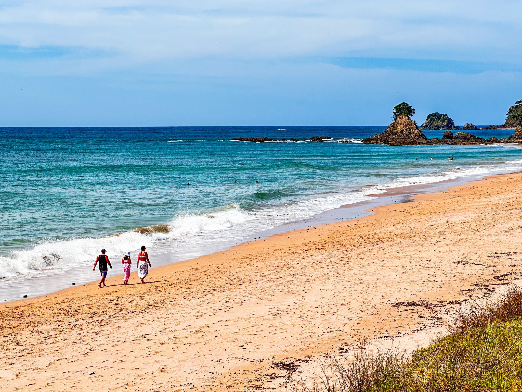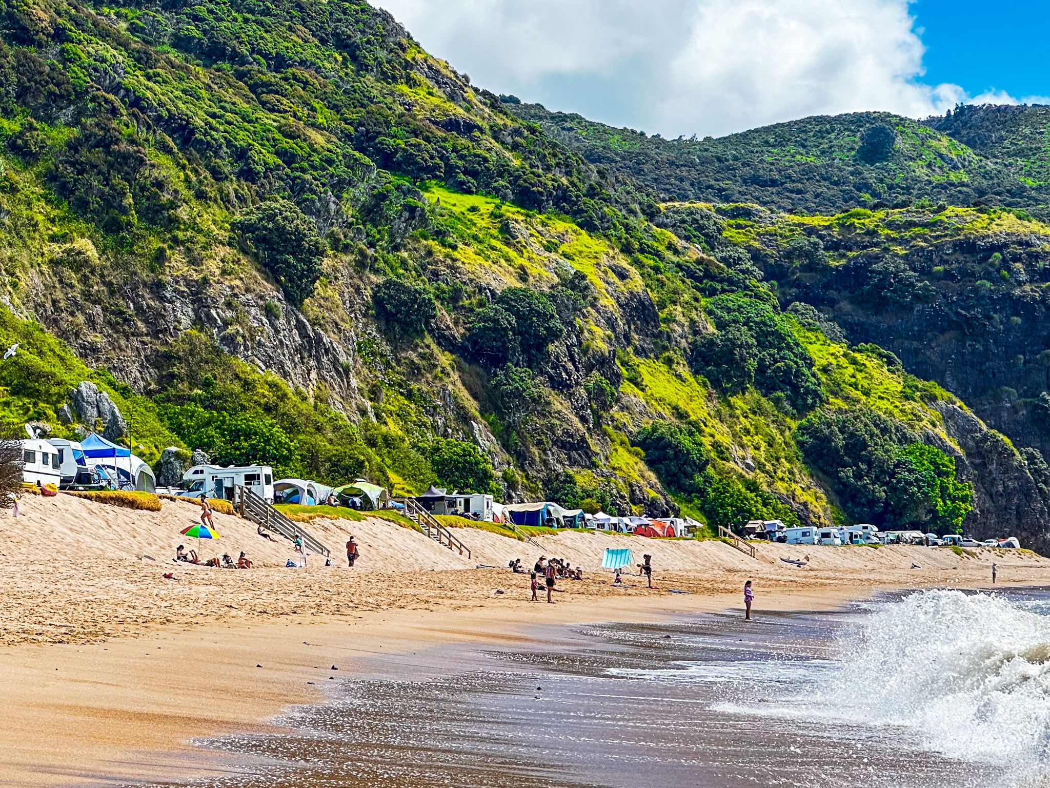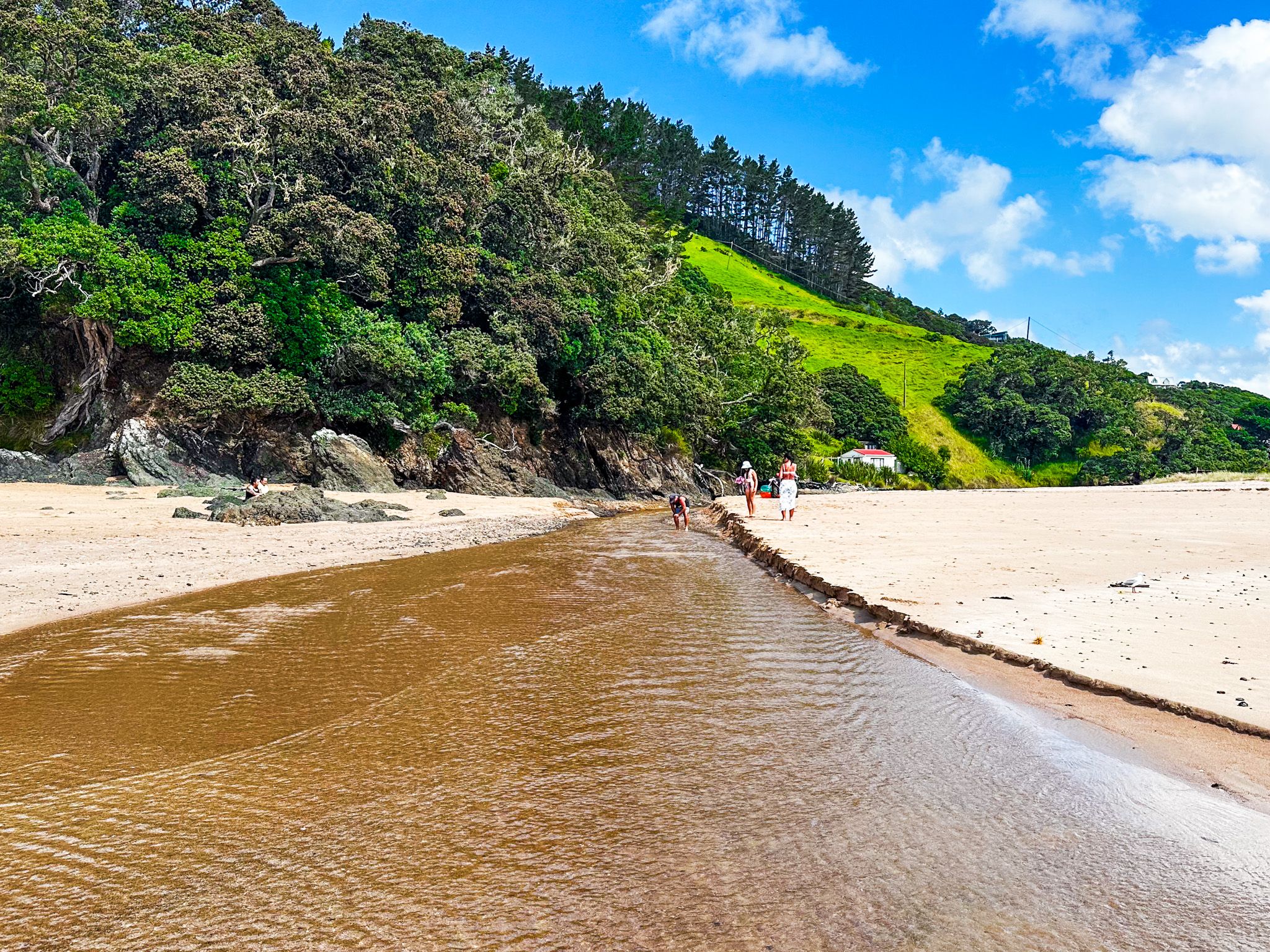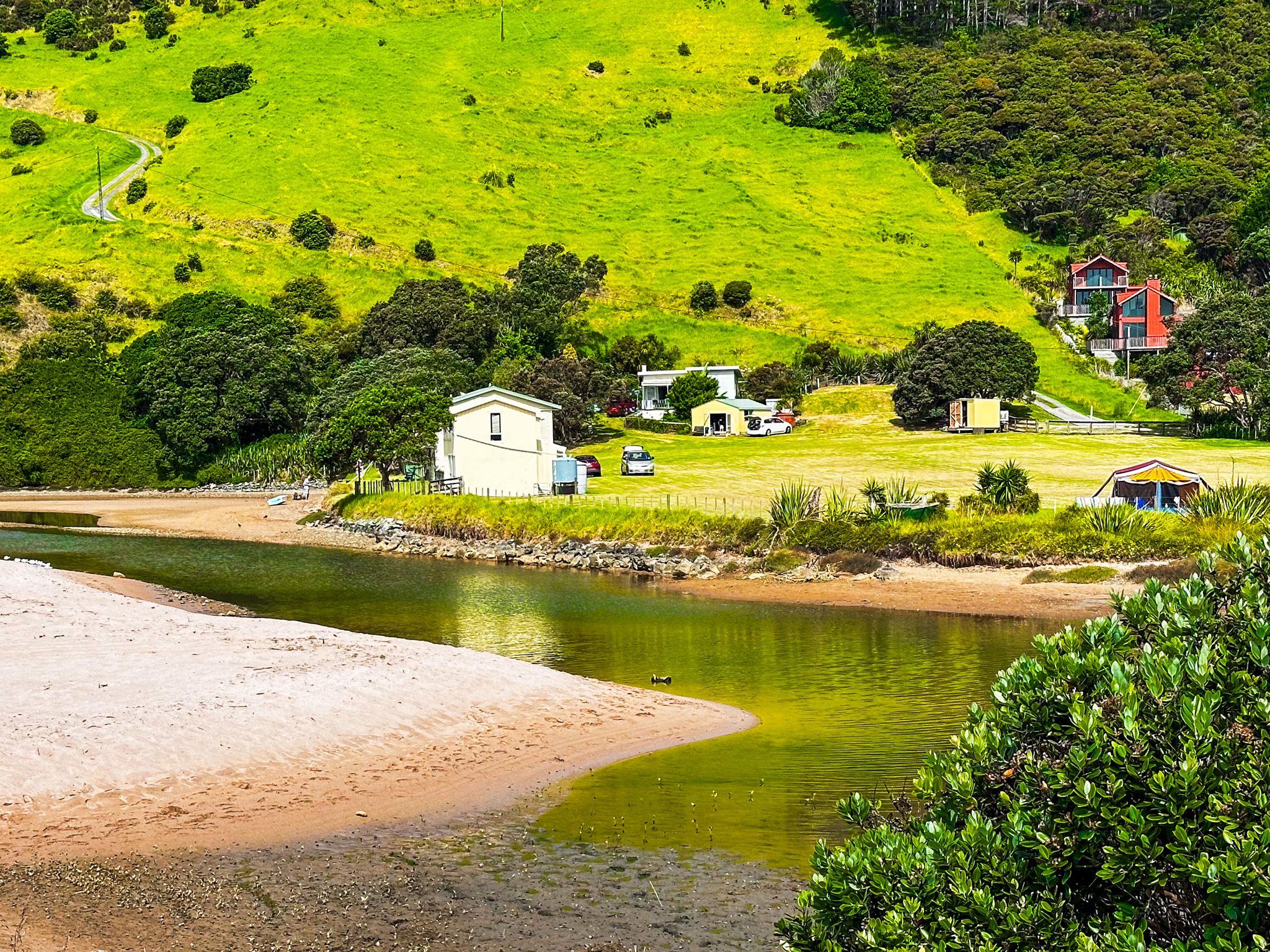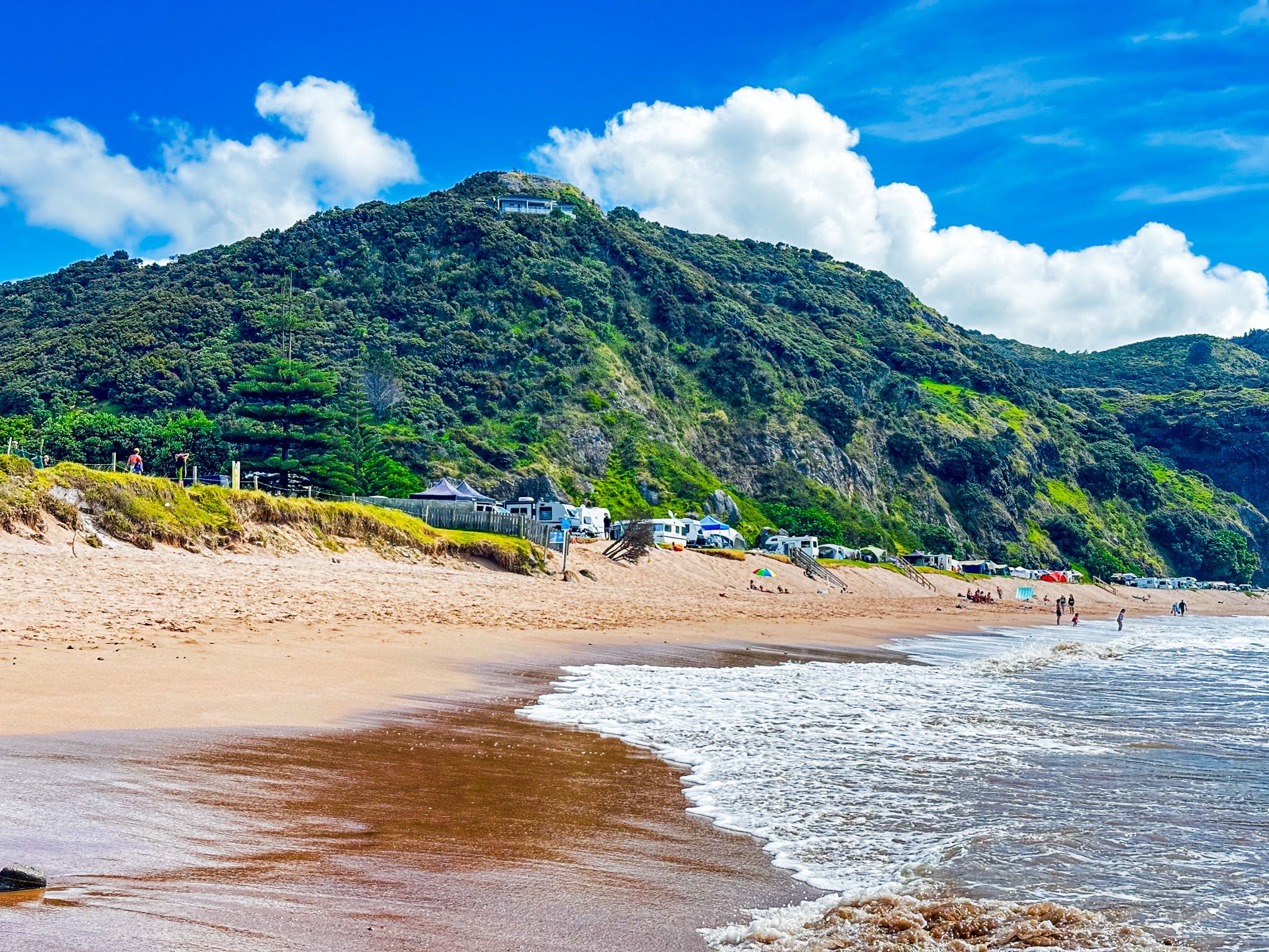
Tauranga Bay, Northland, is a beautiful white-to-gold sand beach within much larger Whangaroa Bay. At 1.2 km, it is the longest of the beaches accessible from Wainui Road, between Whangaroa and Matauri Bay. The beach faces almost directly north and has a campground at the west end. There is car parking and a reserve to the east, with holiday homes on the main road in and behind the reserve. The Tauranga Stream crosses the beach at its east end.
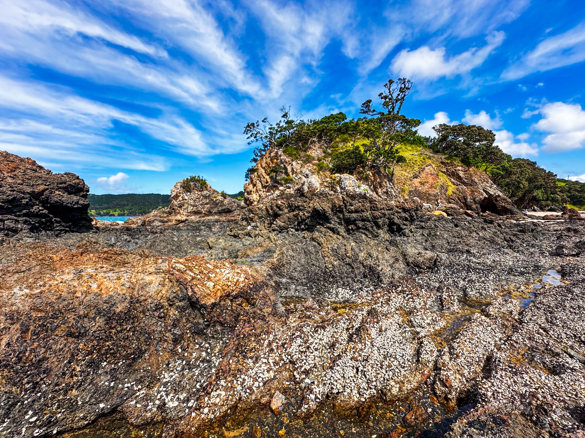
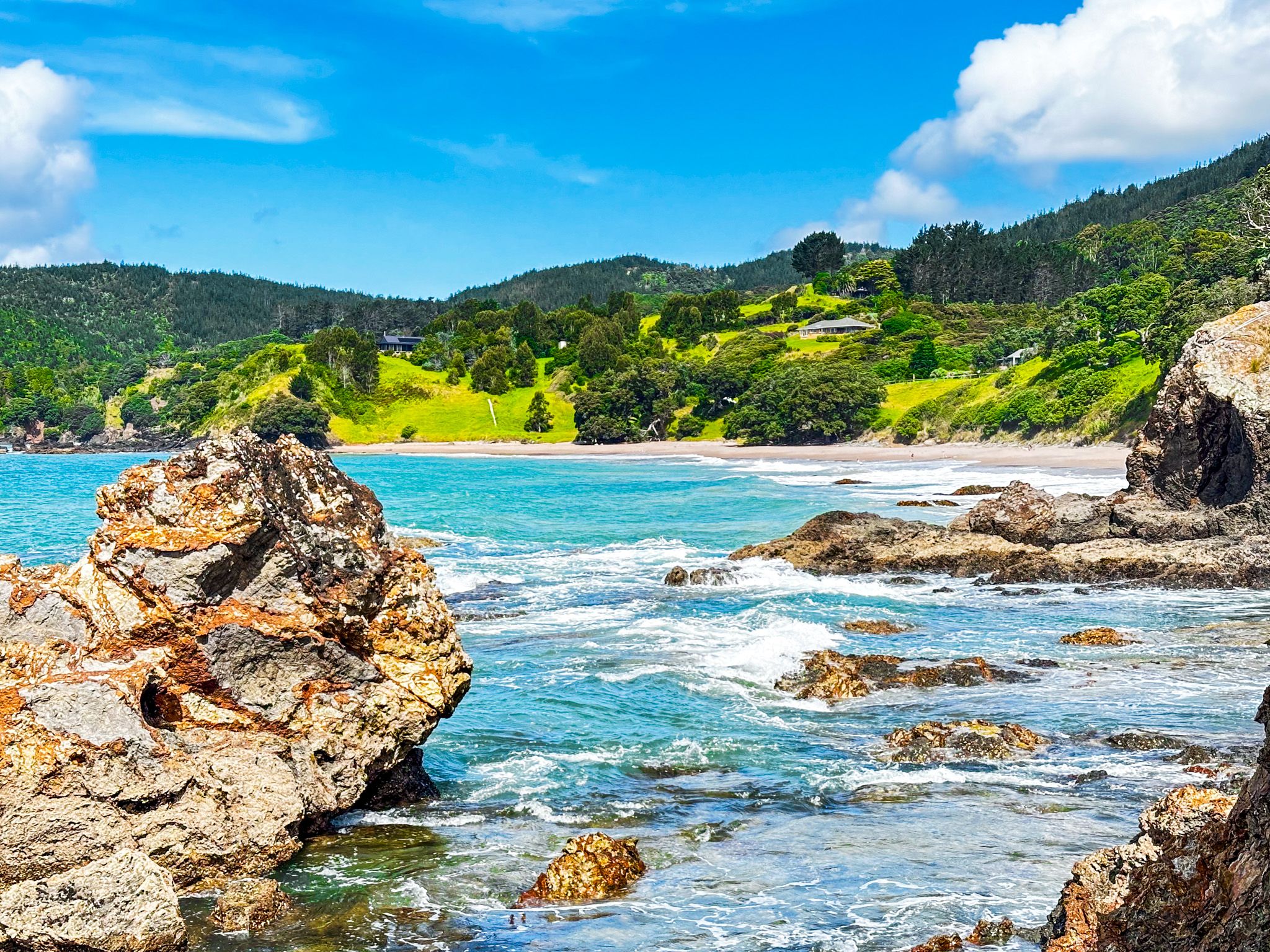
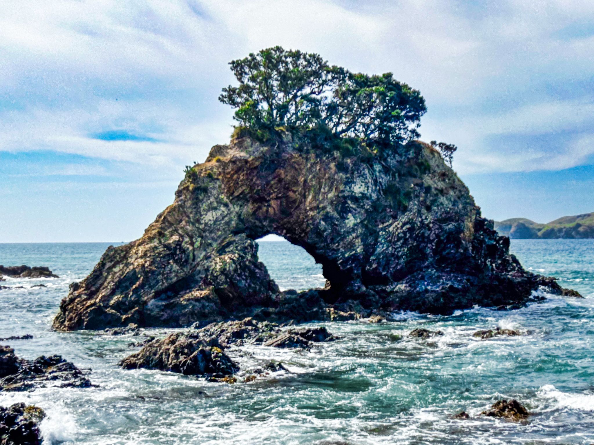
The bay is in a spectacular setting. It is at the end of the Tauranga Valley, with high hills and cliffs on either side. At low tide, you can cross the stream at the east end and wander around the cliff and rock pools at Te Anina Point to Marble Bay. There is a small hole-in-a-rock island, and you can see the hole as you approach the point.
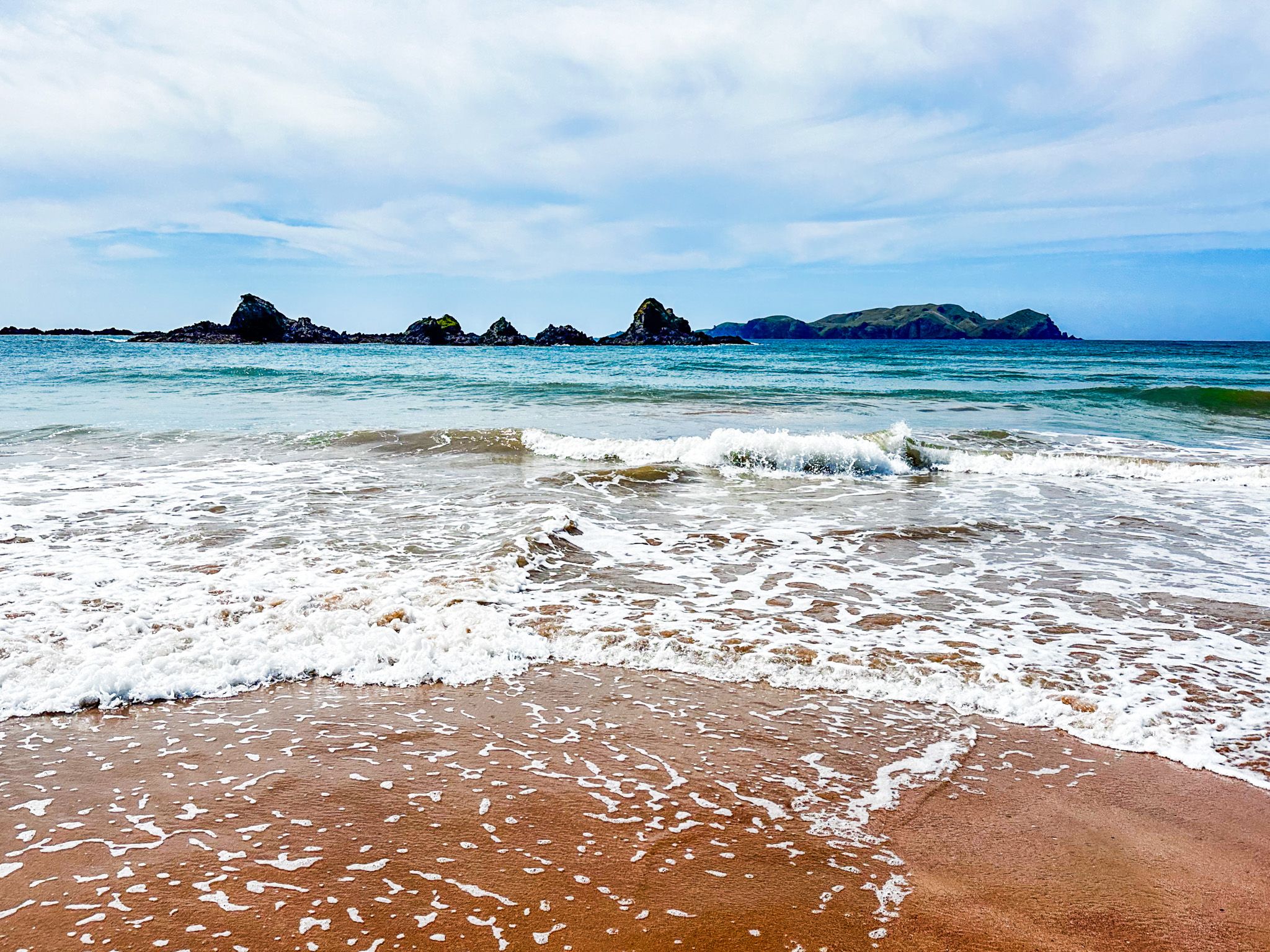
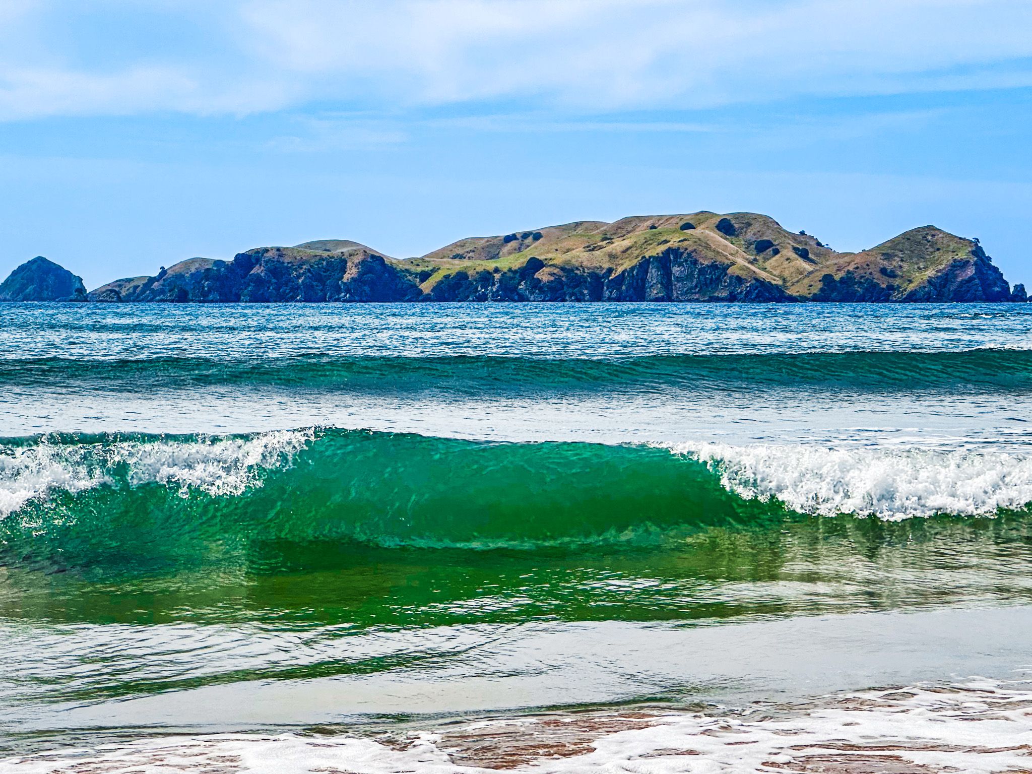
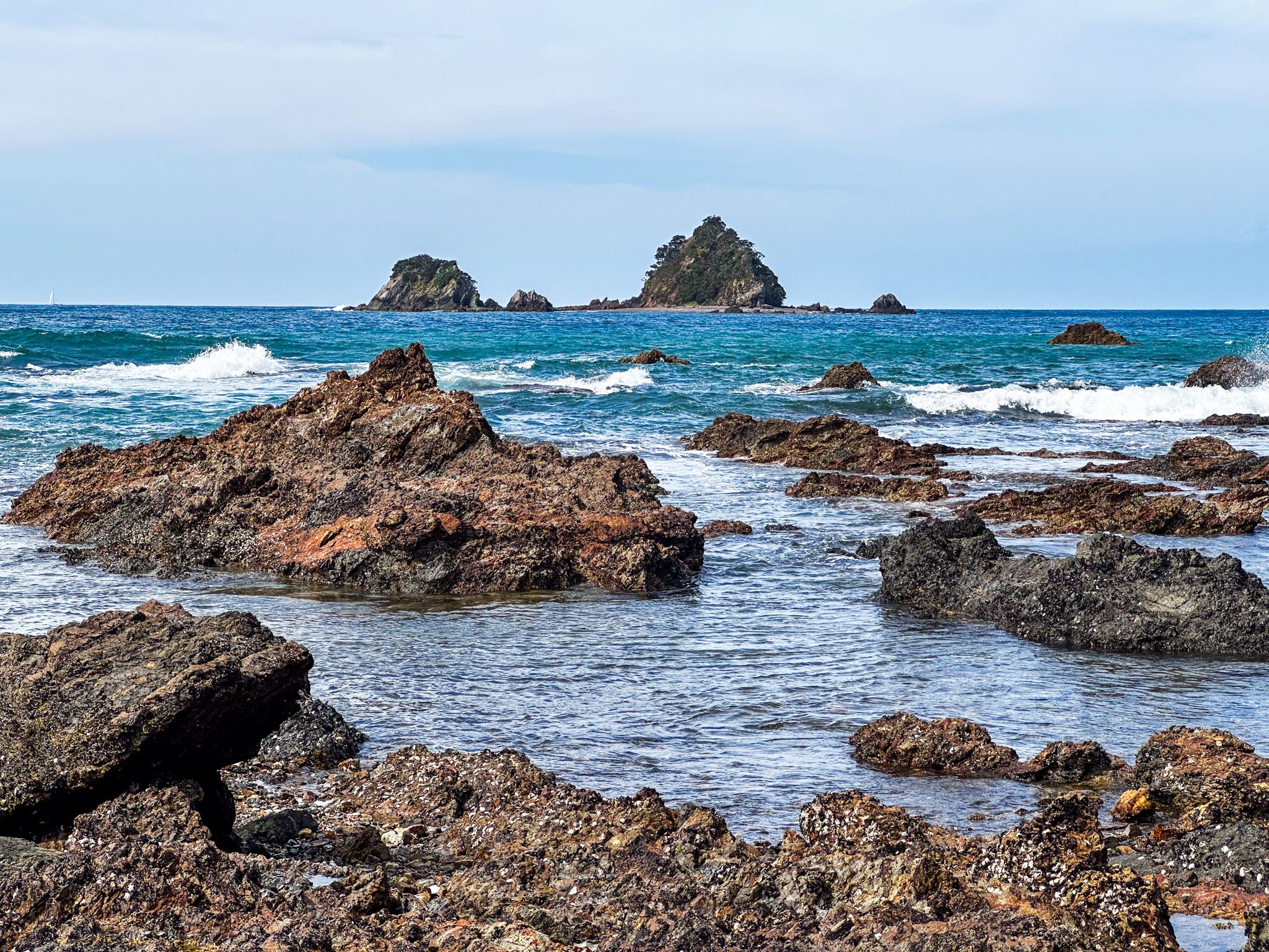
Also, towards the east end, outside the low tide line, there are a series of rocky islands, with prominent Mahinepua Island/Stephenson Island further to the north. These islands shelter the beach from the ocean and add points of interest if you can access a boat.
Tauranga Bay also had a brief role in the Musket Wars. Europeans began arriving in nearby Whangaroa in the 1820s, leading to the kauri timber trade and whaling. Hongi Hika, based in the south in the Bay of Islands, arrived with 400 warriors in 1826. He was seeking new commercial opportunities with the Europeans and seeking to settle grievances with local Māori concerning insults to his family. Hongi camped at Tauranga Bay before raiding the harbour in January 1827.
To access Tauranga Bay, take Tauranga Bay Road from Wainui Road near the start of the Tauranga Valley. It is a 12-minute, 11 km drive from Whangaroa or 21 km and 30 minutes from Matauri Bay.