French Pass is a unique remote place on the far northwest tip of the Marlborough Sounds. It can be accessed by road from State Highway 6 immediately north of Rai Valley. It is a windy, sometimes spectacular 60 km drive, which will take about 90 minutes.
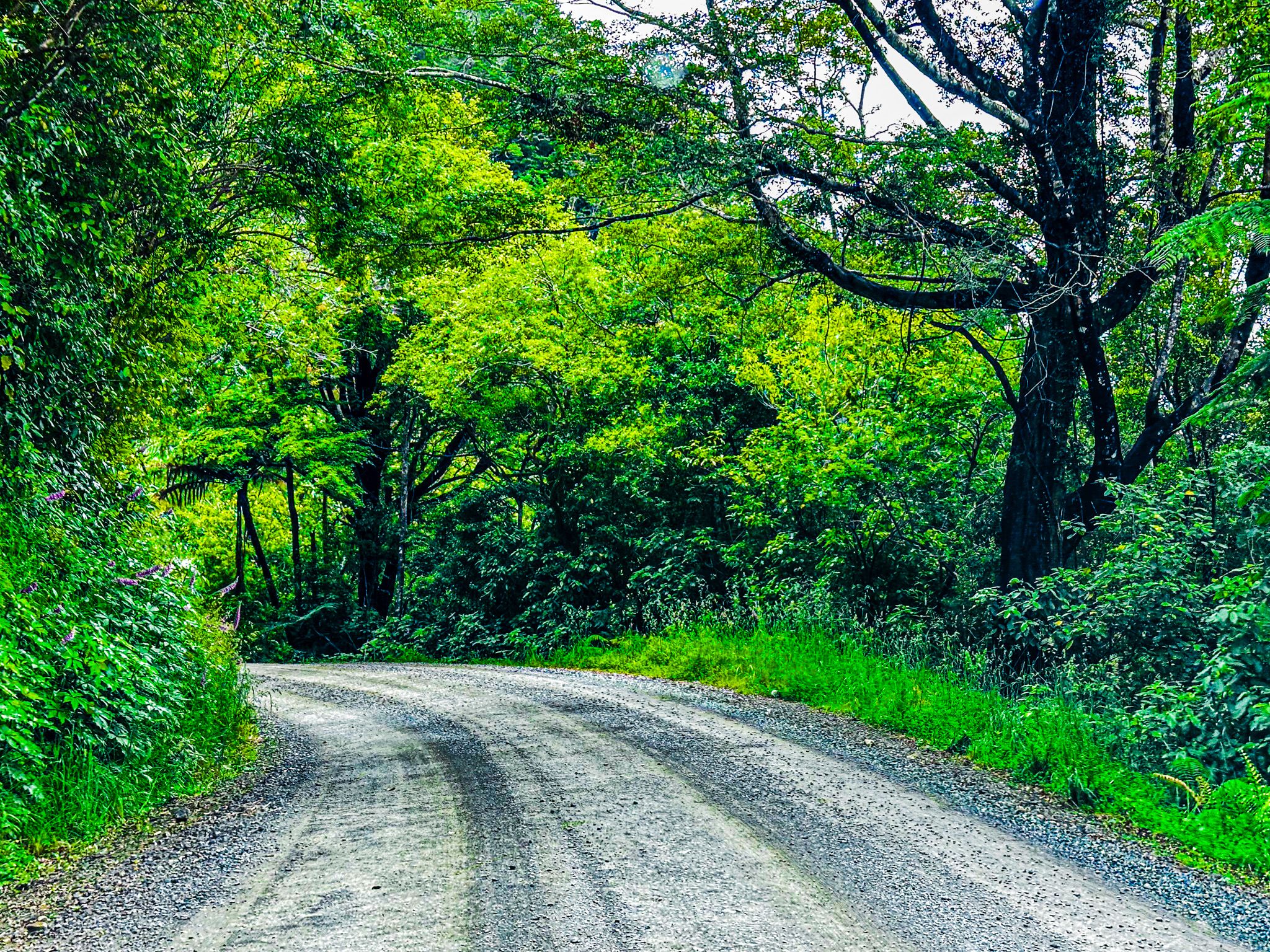
The drive starts with a turnoff from the main highway onto Rongo Road. Immediately to your right is one of NZ's largest collections of road signs. This seems odd, given the number of places you can get to! Rongo Road heads north up a farmed valley and then becomes Croisilles Road as it winds through regenerating native forest, over 300 metres high Ronga Saddle, and down to Okiwi Bay. This provides beach access and a campsite. The road then becomes Croisilles French Pass Road. It climbs back up to 300 metres and is continuously windy. The road is mainly shrouded in regenerating forest with some pine plantations. One section provides spectacular views to the west over Croisilles Harbour and Squally Cove. The French explorer Dumont D'Urville named the harbour around 1820 after his mother's home village of Croisilles, Calvados.
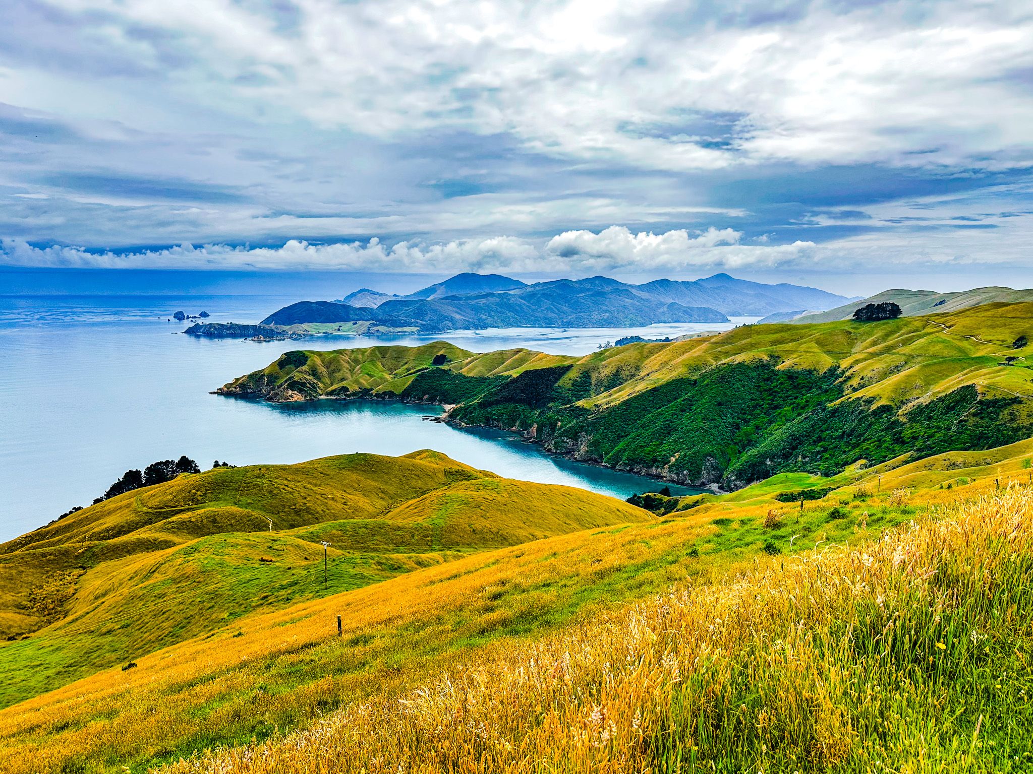
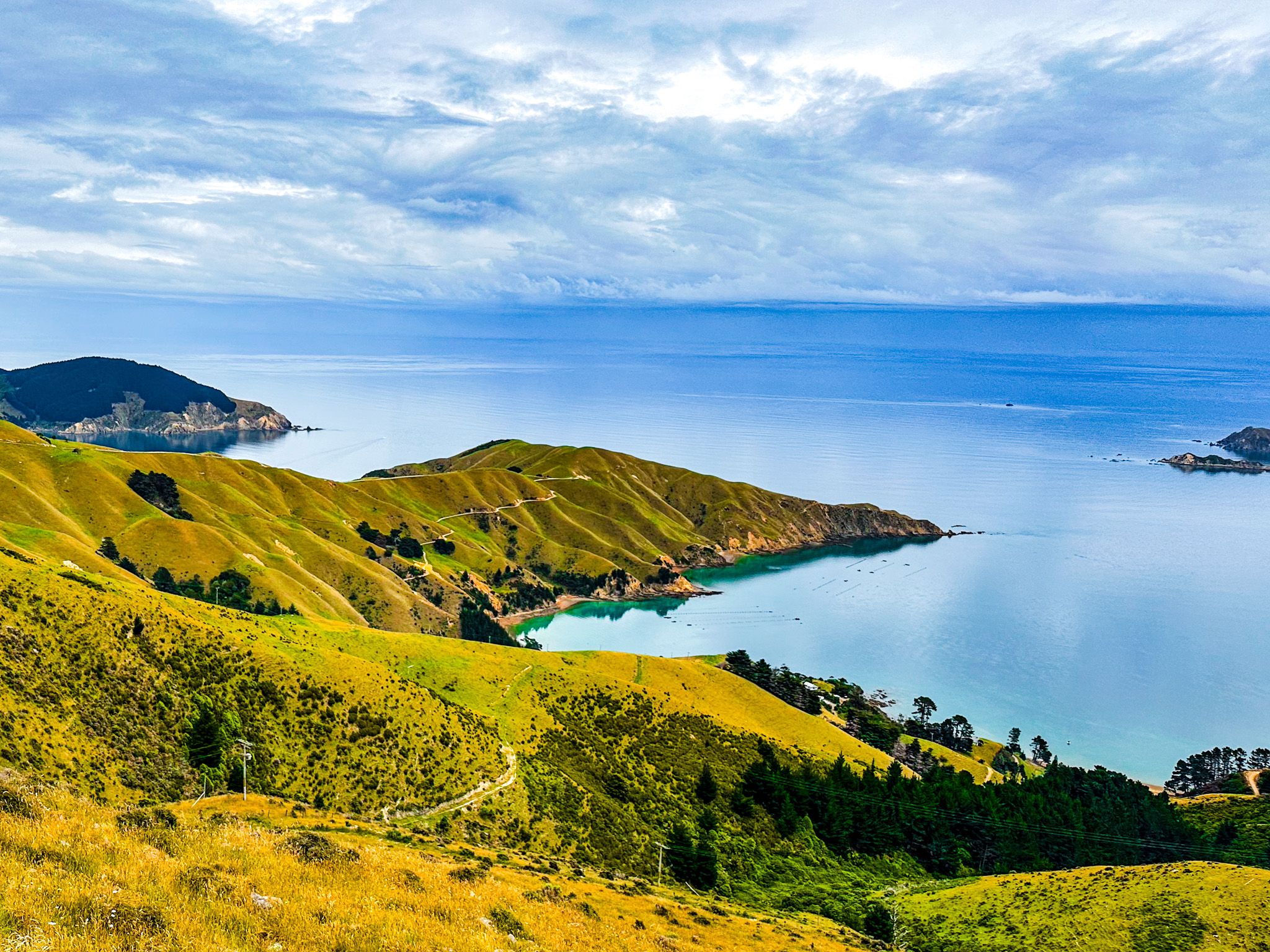
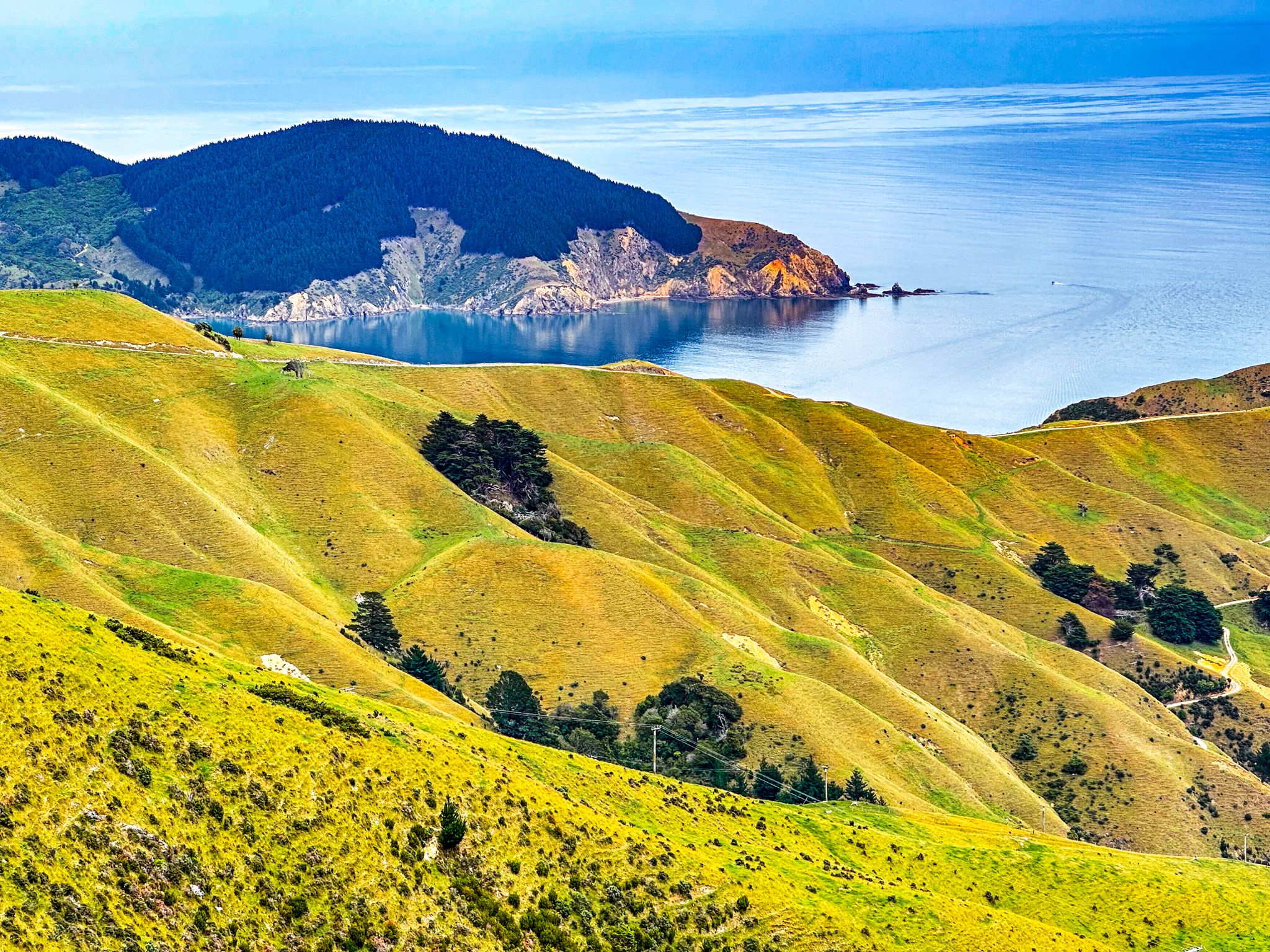
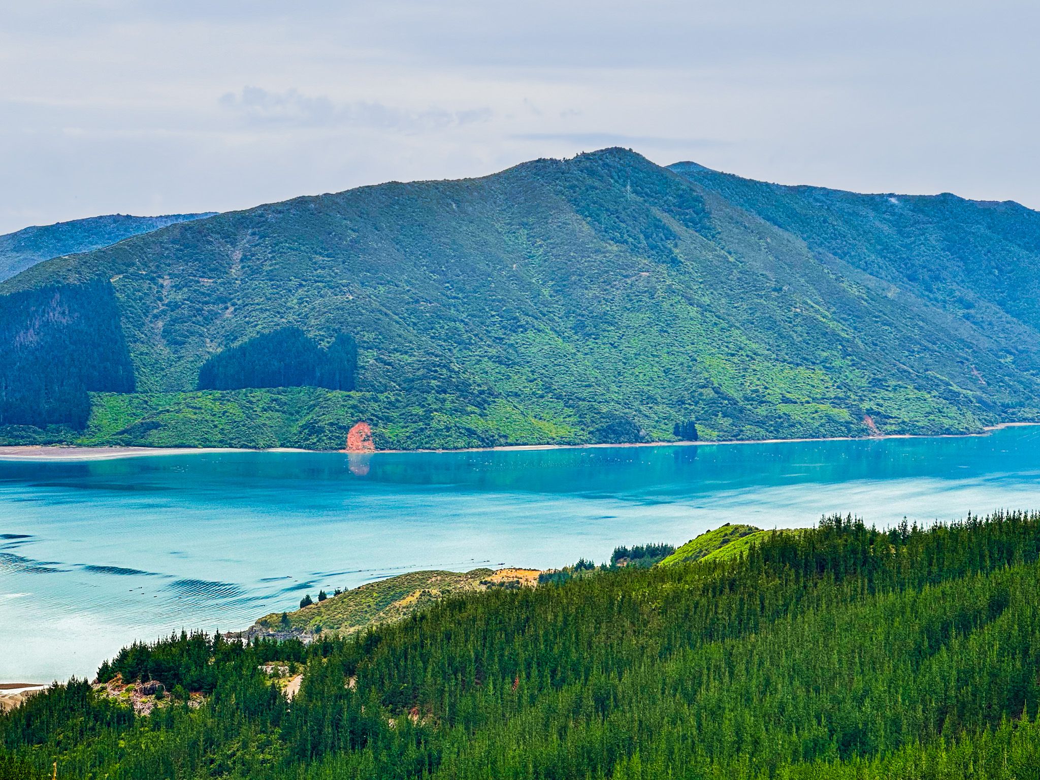
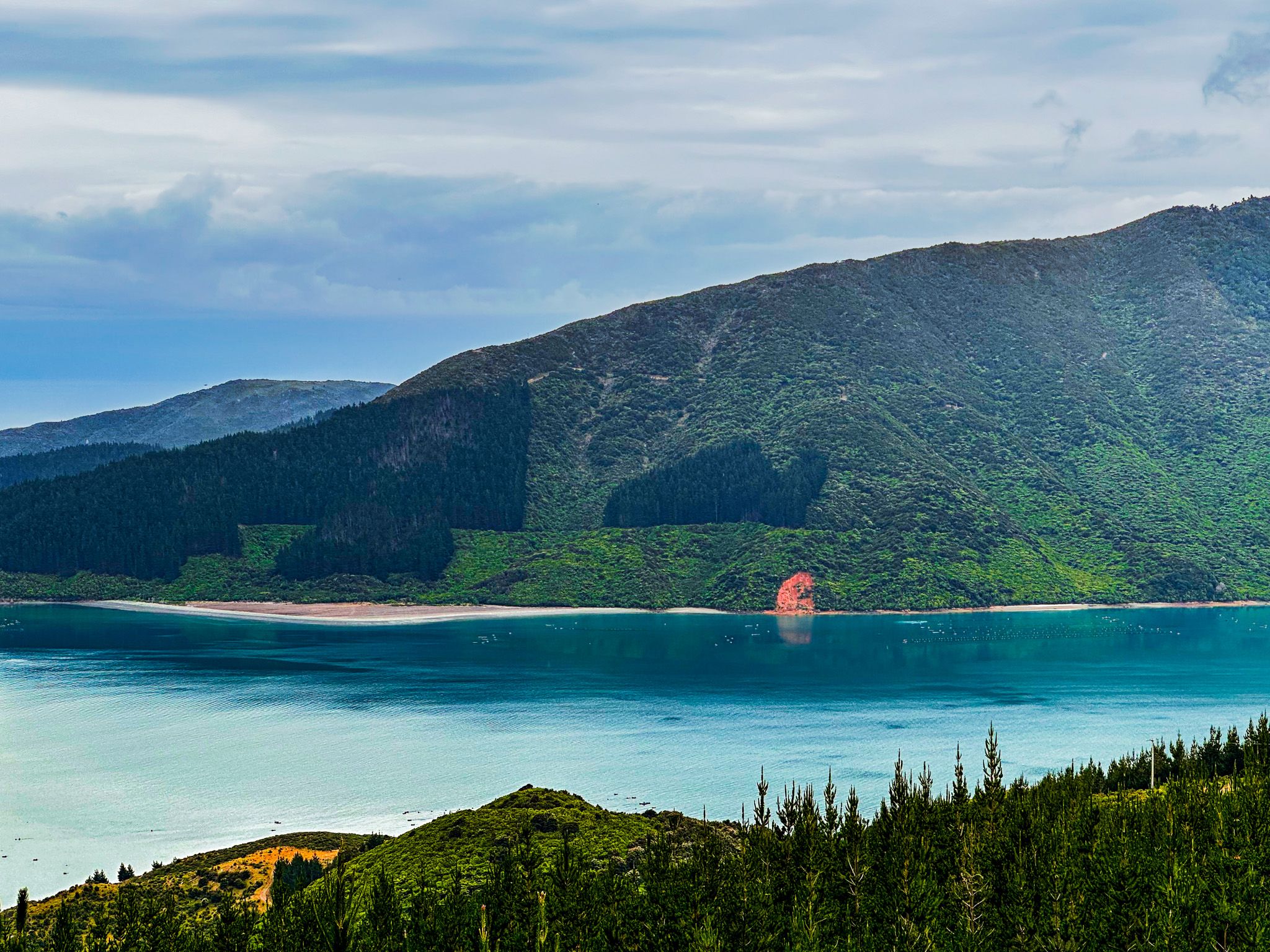
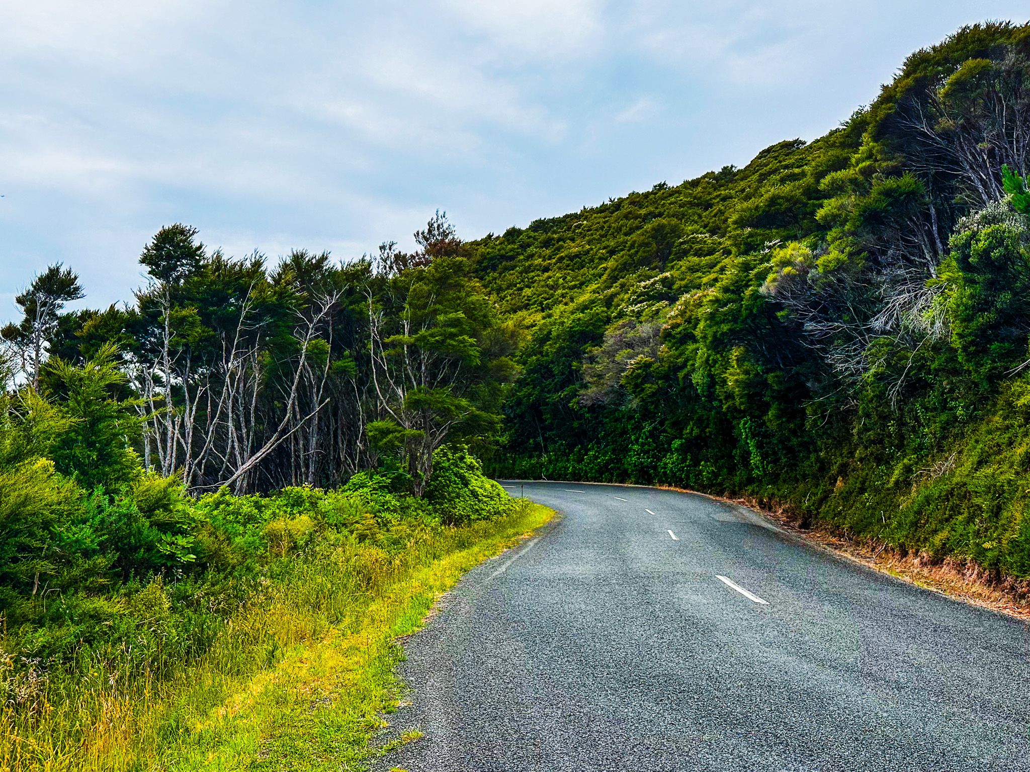
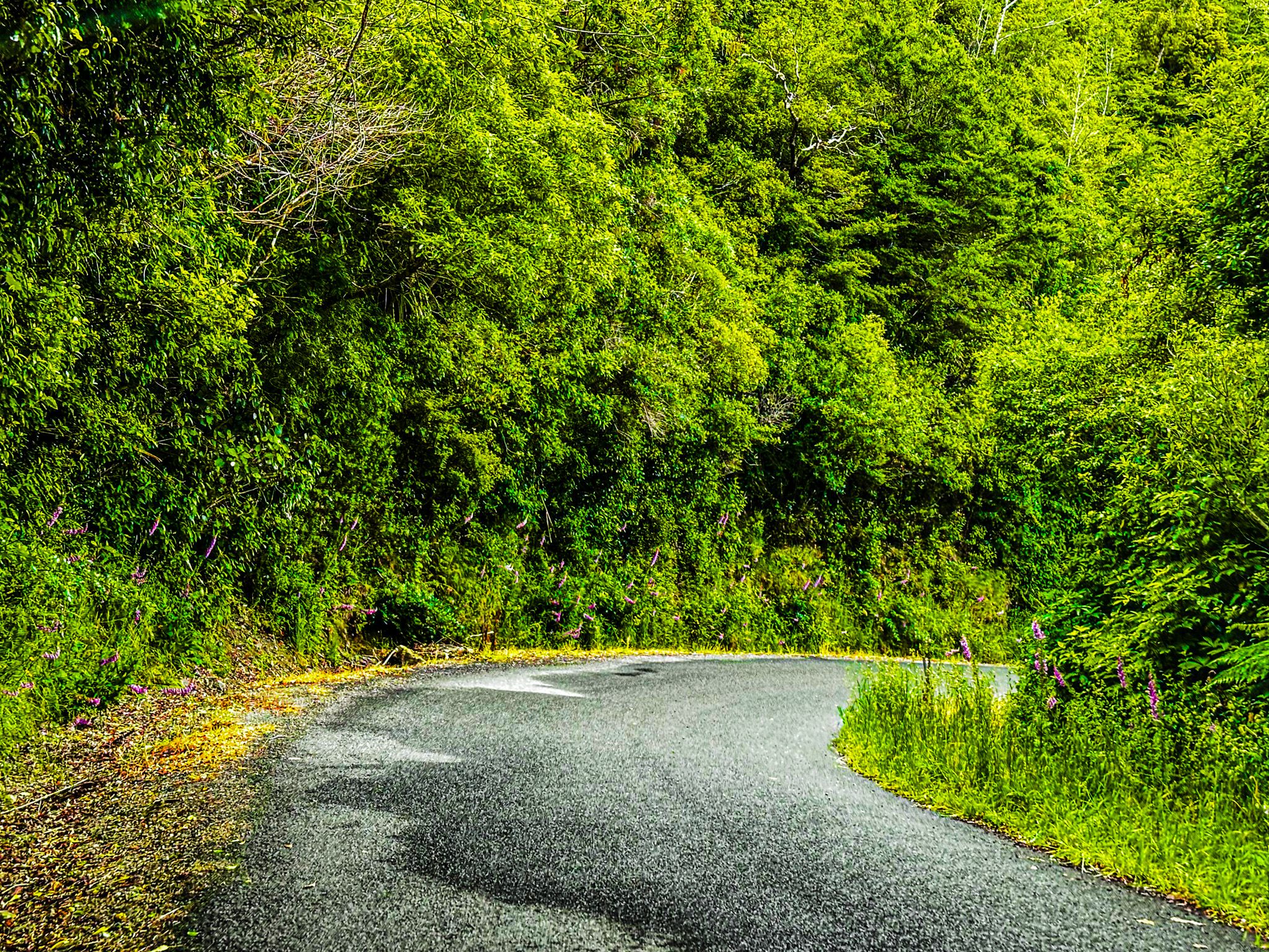
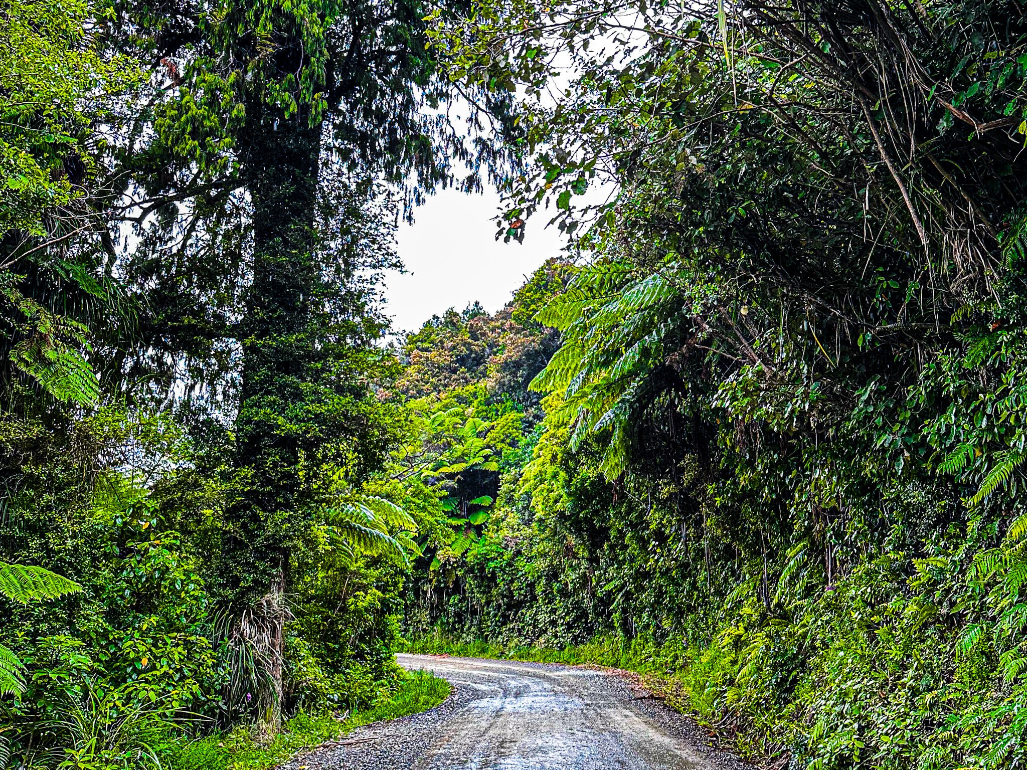
As the road approaches the end of Sually Cove, there is a side road to Elaine Bay in Tennyson Inlet with a beach and campsite. This is also the end of the sealed section, but not the windiness! The road continues high up in the forest for another 12 km. This is a lovely drive with the growth right up to the road edge. There is also a signposted spectacular roadside view of Tawhitinui Reach to the east.
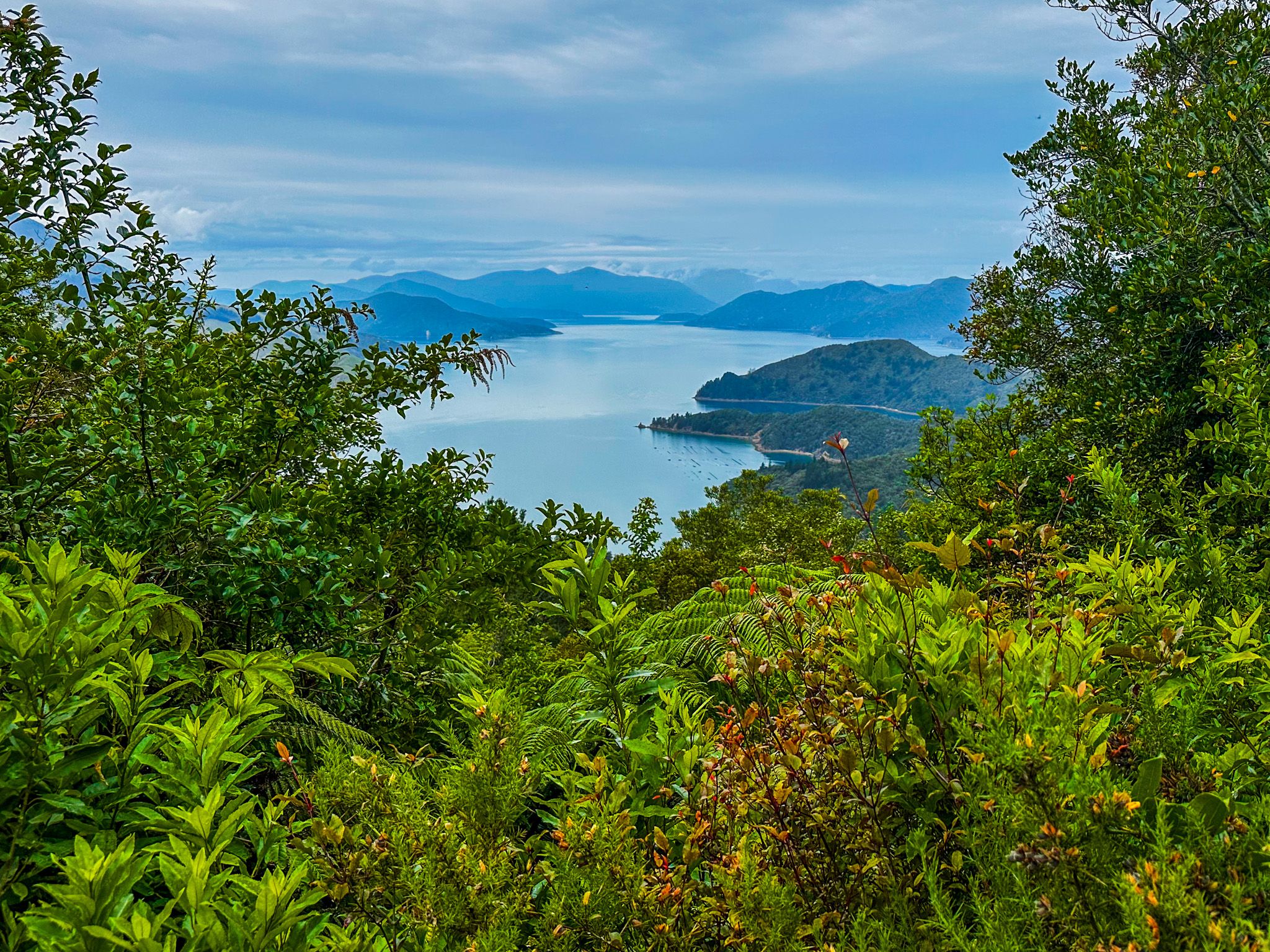
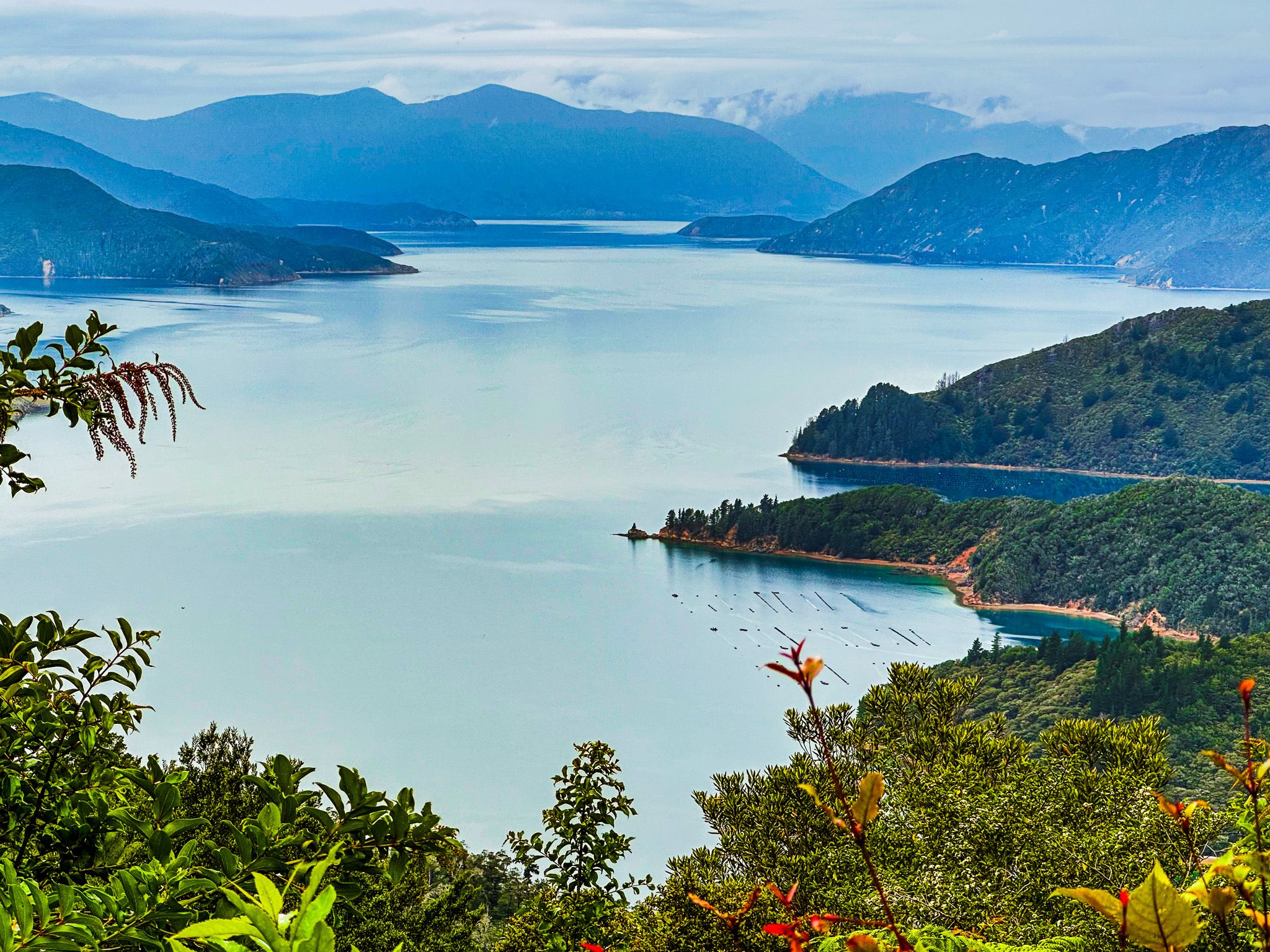
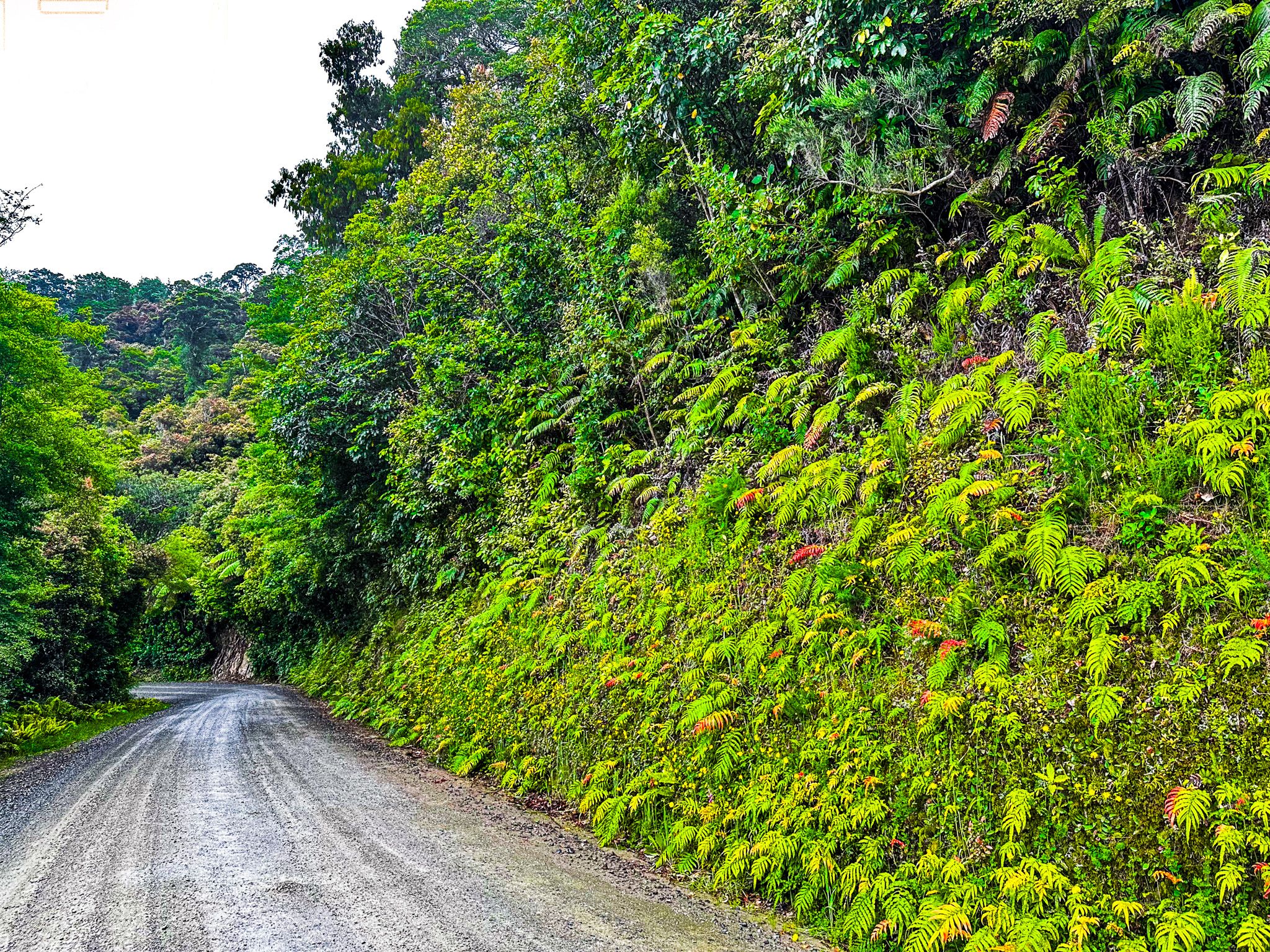
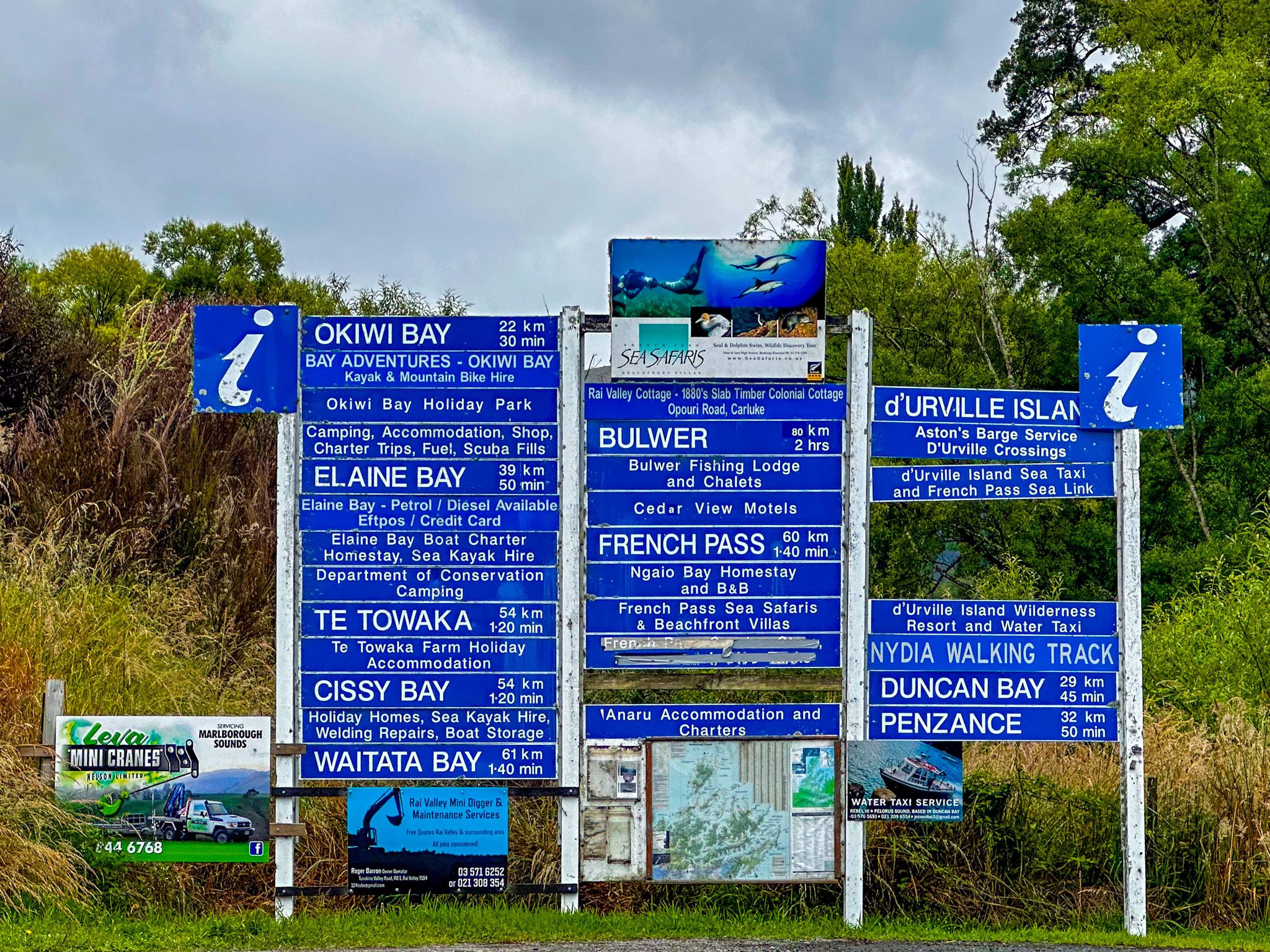
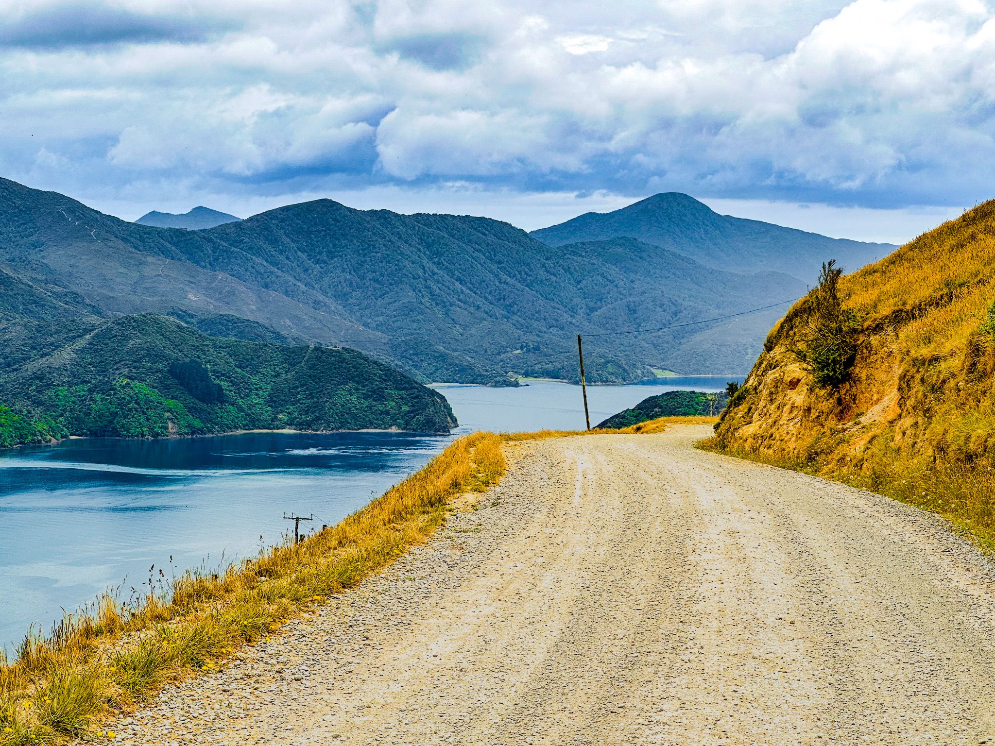
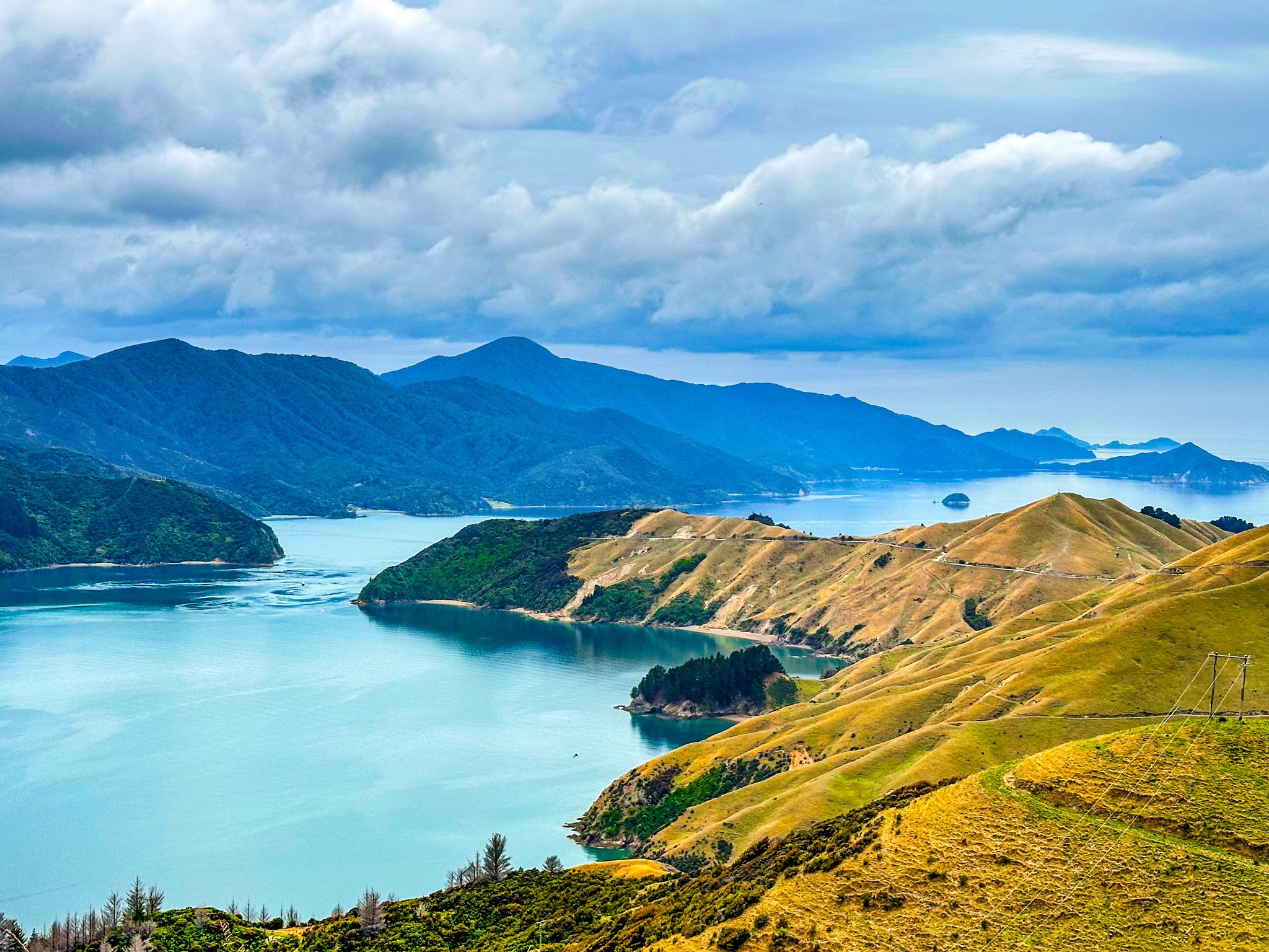
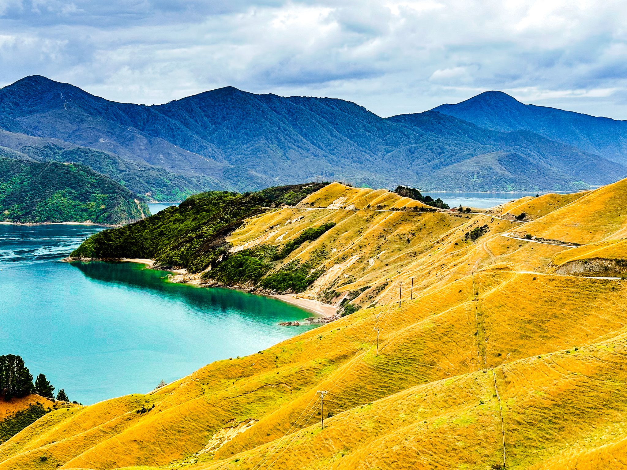
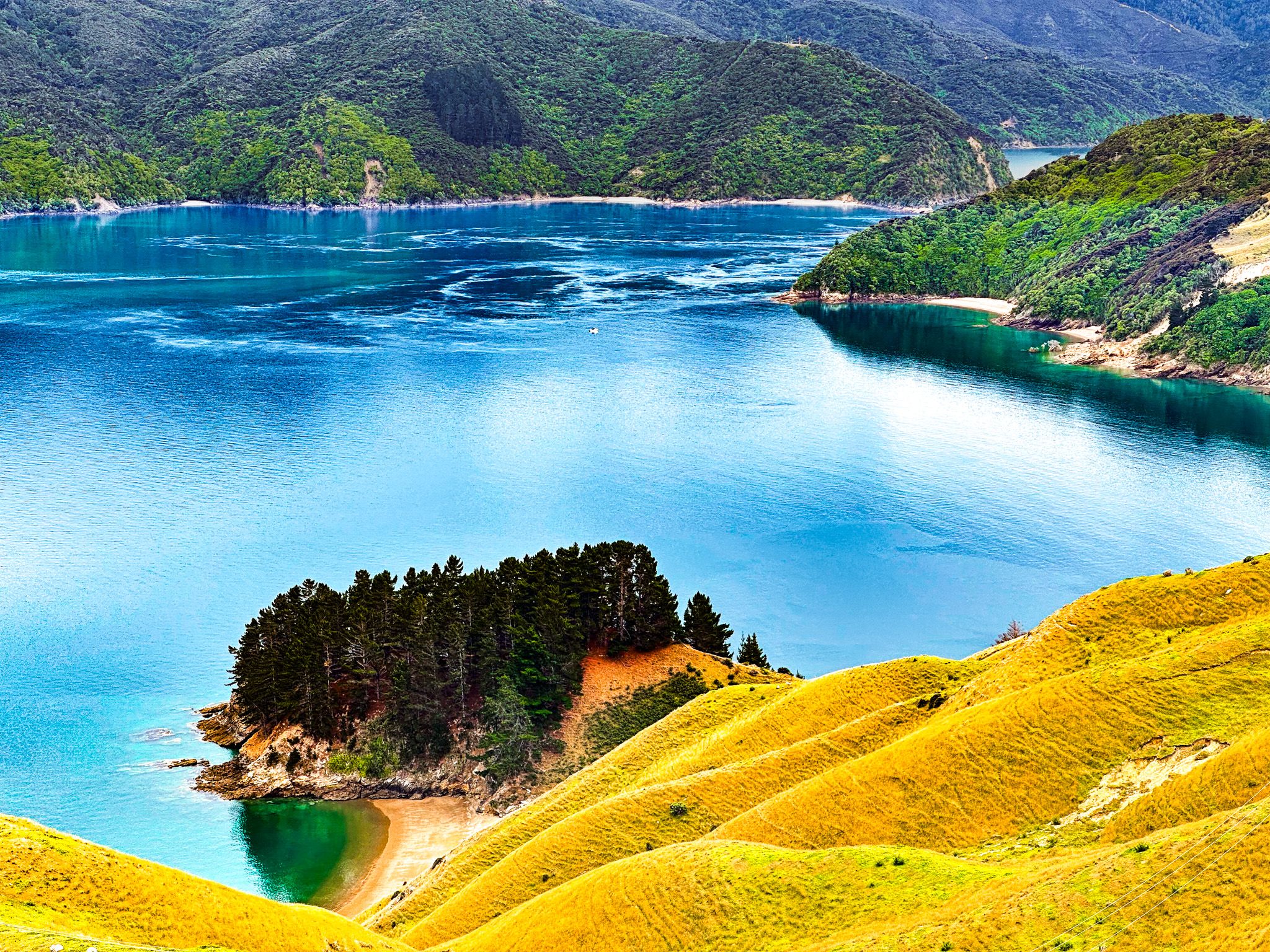
The last 14 km to French Pass is across steep open farmland, providing one of NZ's most spectacular coastal roads. This section of Croisilles French Pass Road more or less follows the ridge at around 400 metres above the coast. It is less windy but gravelled with some blind corners and narrow in places. Admiralty Bay is on the east side, and Tasman Bay is to the west, with great views in both directions.
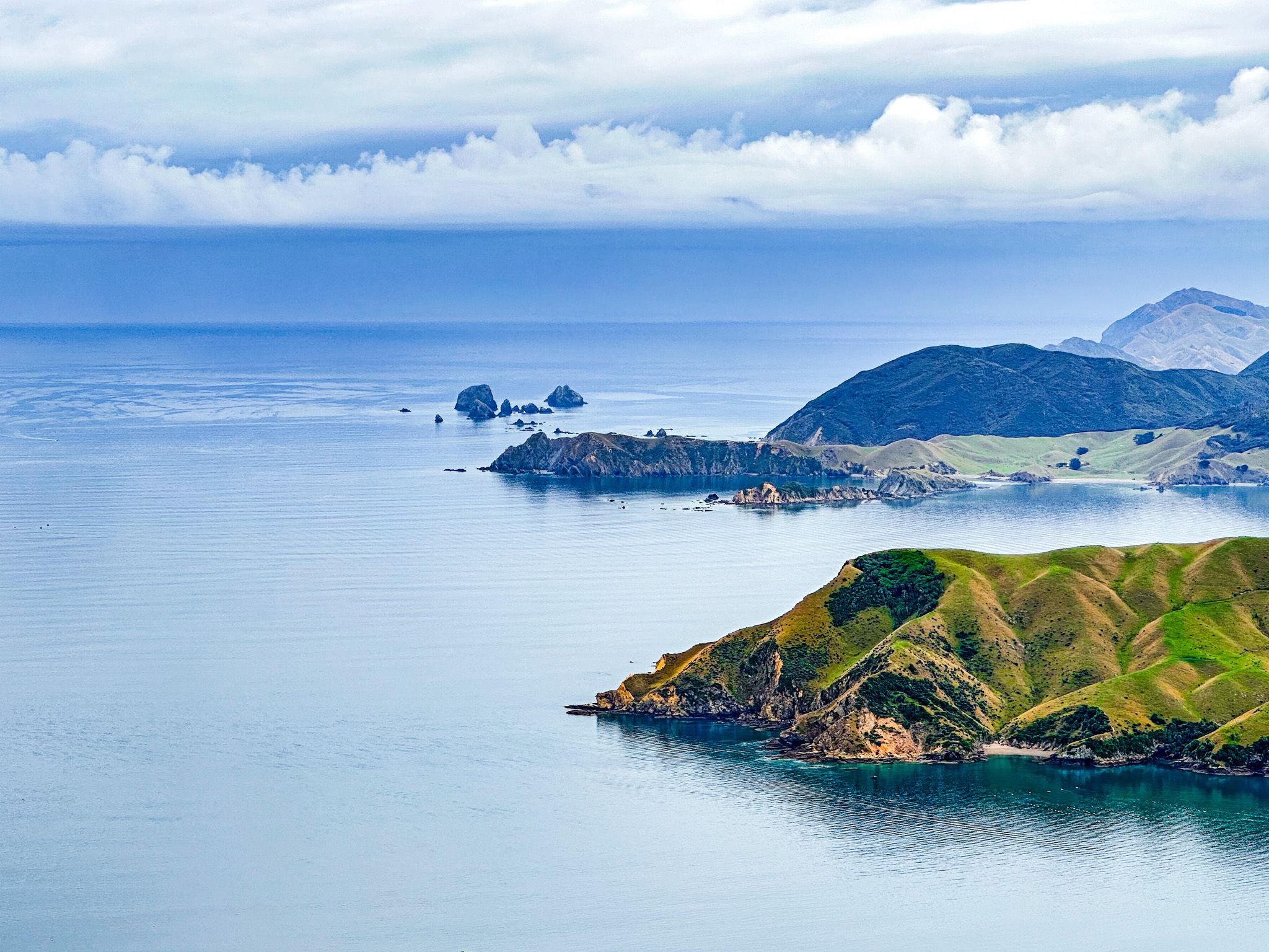
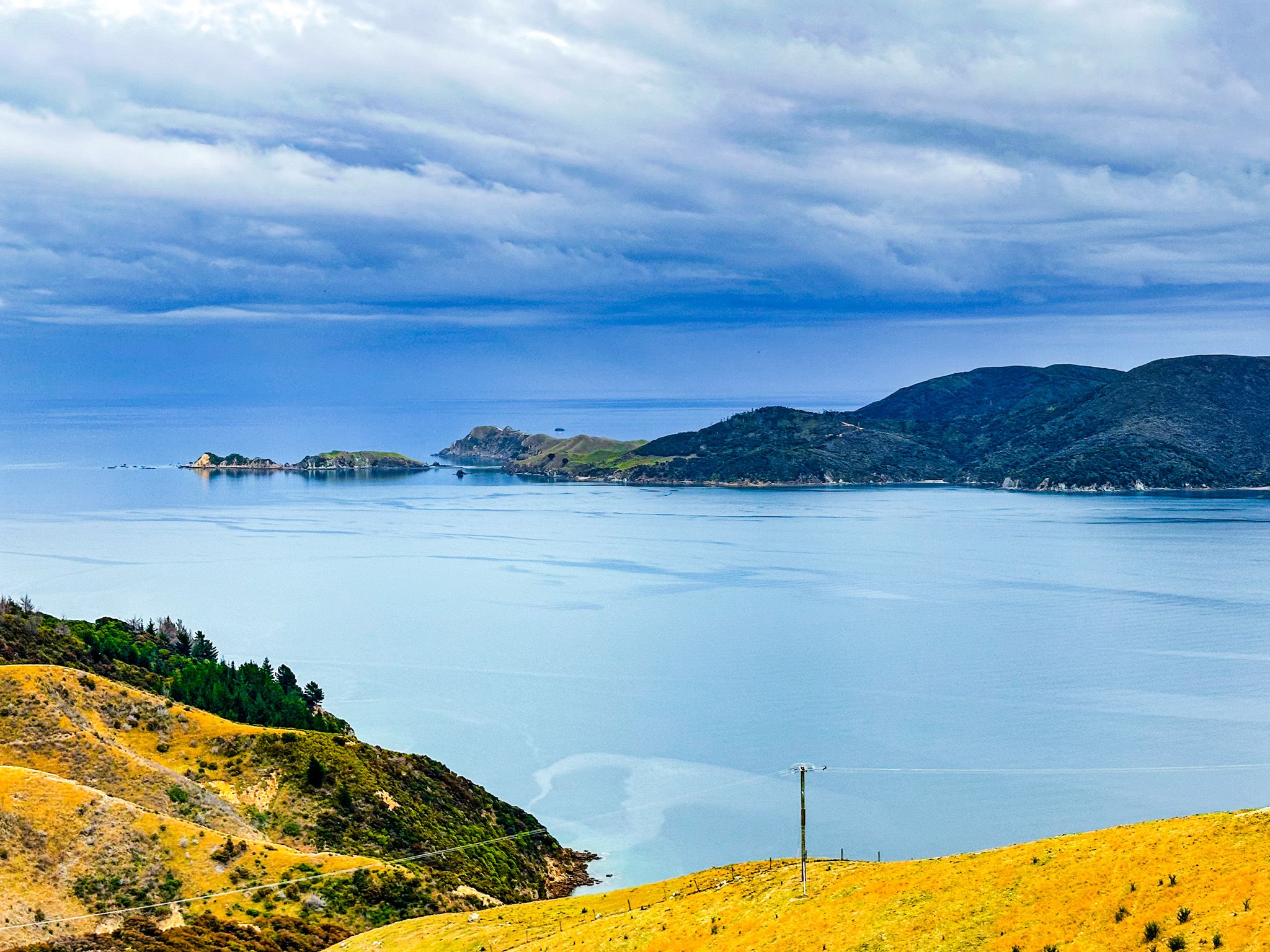
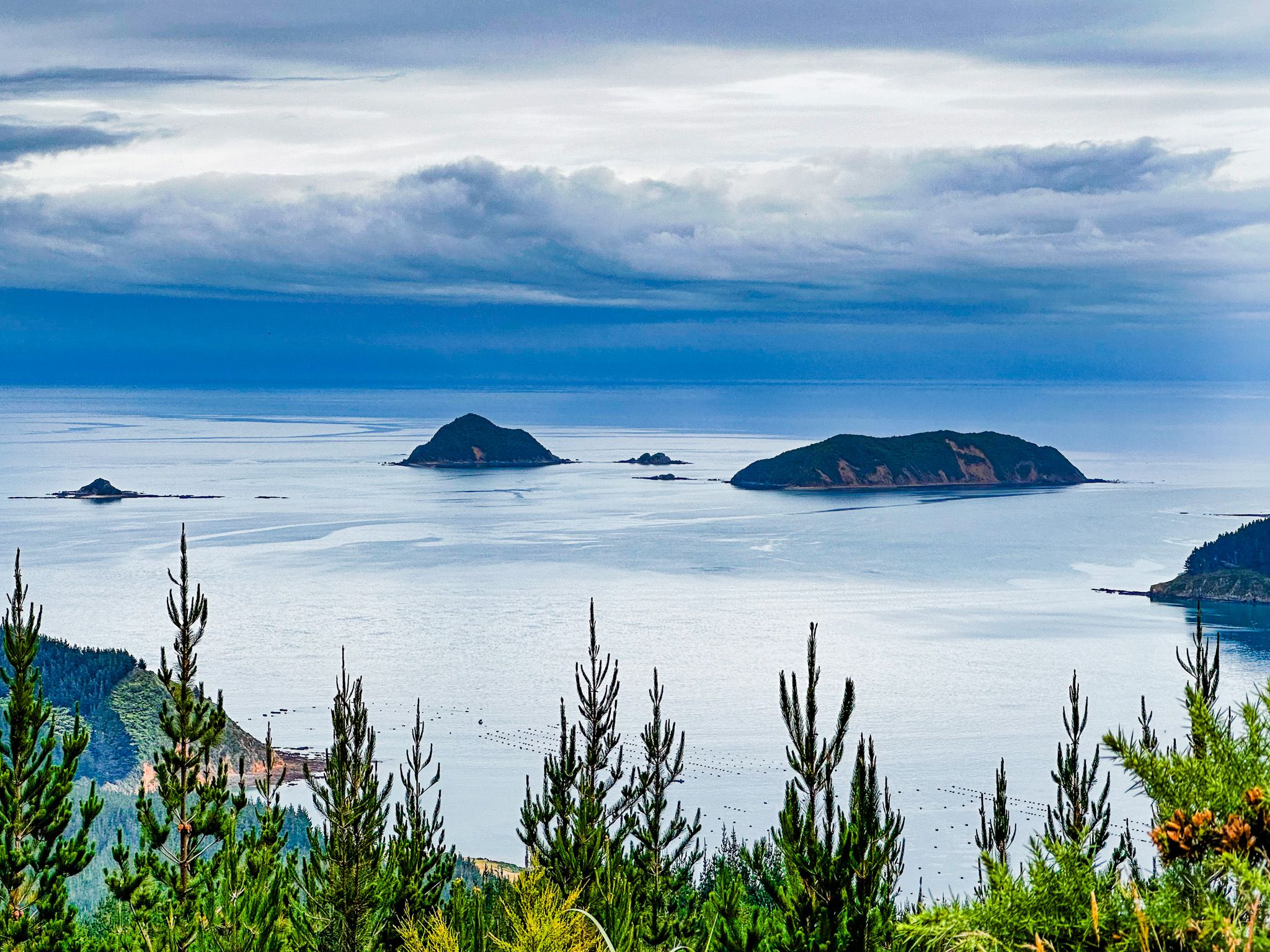
As you drive north, the road drops below the ridge on the west side, with fabulous open views of Rangitoto ki te Tonga / D’Urville Island. The French name is for Dumont D'Urville, the first sea captain to run the pass. The road runs high above Current Basin, the stretch of water between the island's southern end and the coast. Very narrow Te Aumiti / French Pass between D'Urville Island and Channel Point comes into view before the road sweeps around the point.
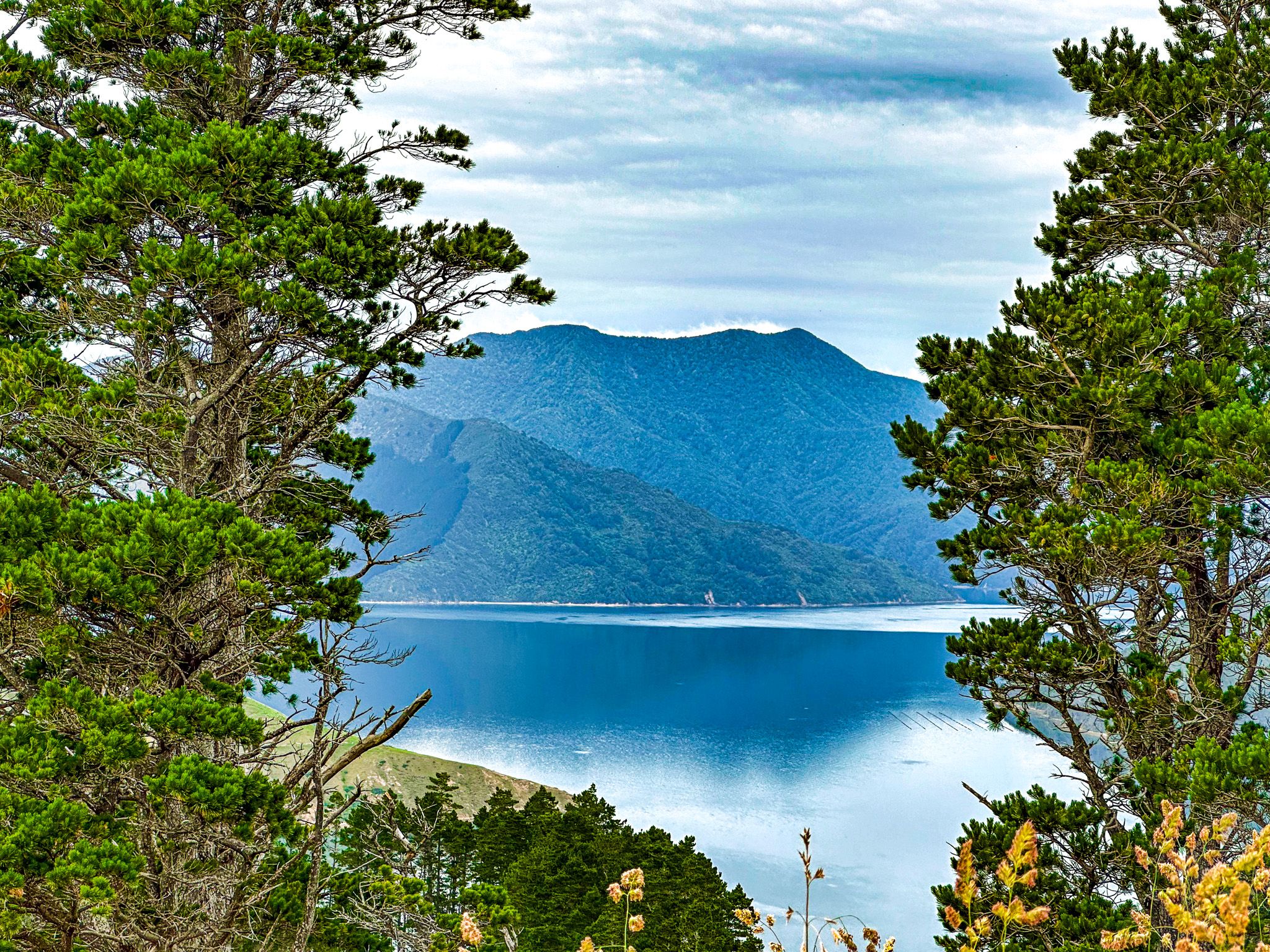
There is a short track to French Pass Lookout (with a room for a few cars) on the point, then a second viewpoint with more space a bit further to the east at Collinent Pont. The two viewpoints provide quite different perspectives of the pass and D’Urville Island. The road then drops down to the beach and hamlet, French Pass / Anaru, with a campsite by the beach at the end of the road.
You can also get a ferry to D’Urville Island. It will take 4WD vehicles as well as walkers and cyclists.