
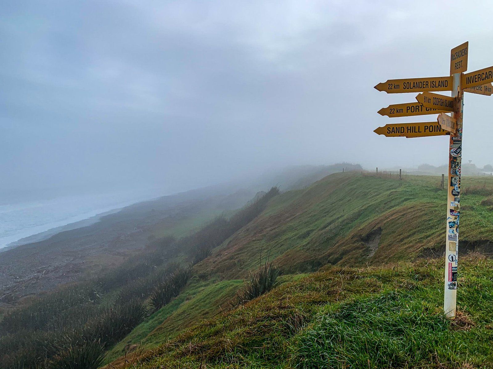
The Southern Scenic Route runs from south of Dunedin, through the Catlins, along the southern coast of Southland and north toward Fiordland, ending at Lake Wakatipu. While the Catlins and Te Anau are the best known sections, there are many other places to visit along the route, which we’ll be exploring today. These include the beaches of the south coast, Lake Monowai, and the very pretty and slightly remote Mavora Lakes.
Riverton and Aparima
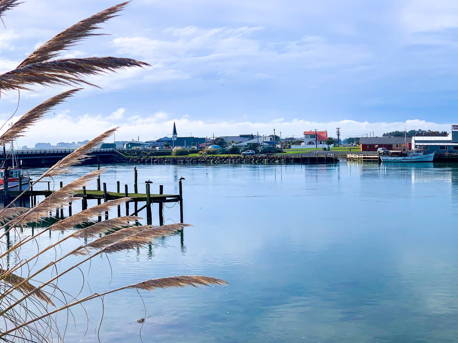
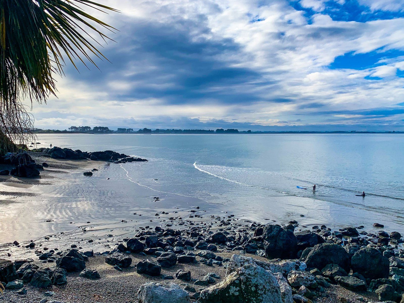
Riverton is famously the oldest European settlement in New Zealand, dating back two hundred years to when the first whalers and sealers arrived off the southern coast. Nearby is Aparima township, located at the western end of Oreti Beach and to the west of Invercargill. Aparima takes in Jacob’s River Estuary, Oreti Beach and Taramea Bay to Howells Point Taramea.
Aparima has a lovely, rugged coastline around The Rocks and Howells Point Taramea, and views of Rakiura, Stewart Island. It was once a pretty, sleepy fishing village, but you can still find solitude by walking beyond Howells Point along the beach. Even in winter there’s fishing, with safe swimming in the bay and occasionally visiting dolphins.
Gemstone Beach
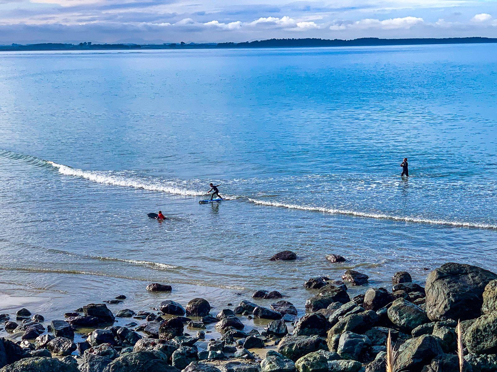
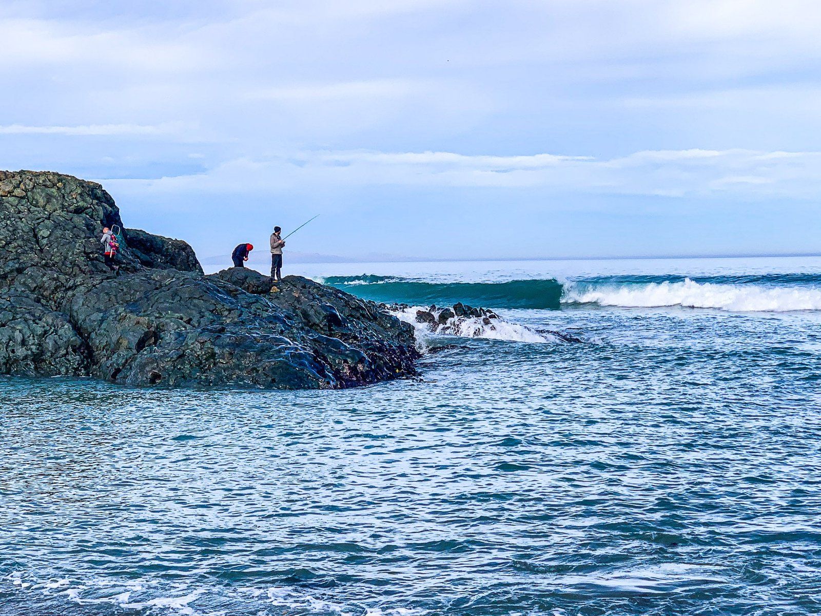
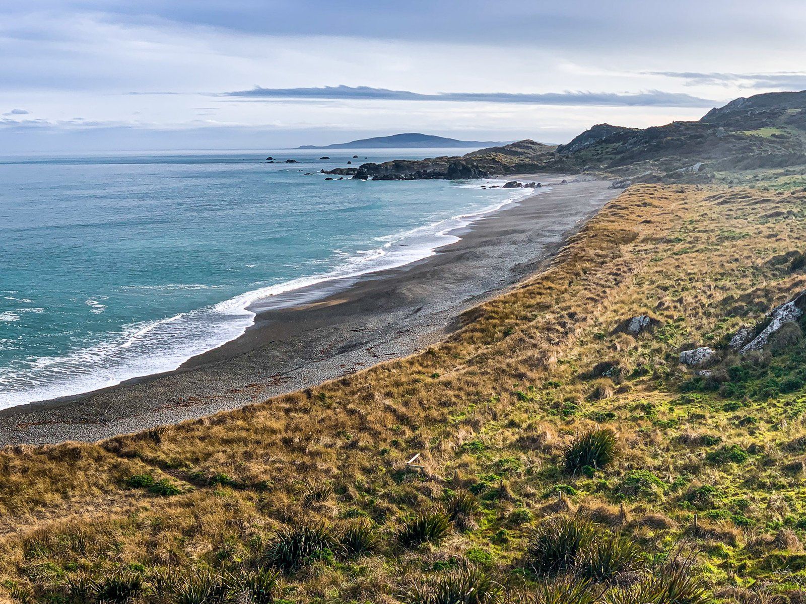
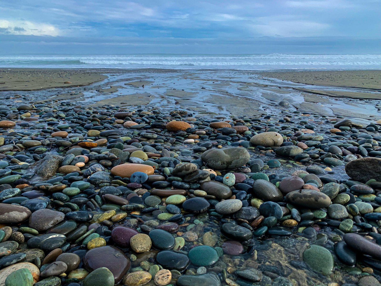
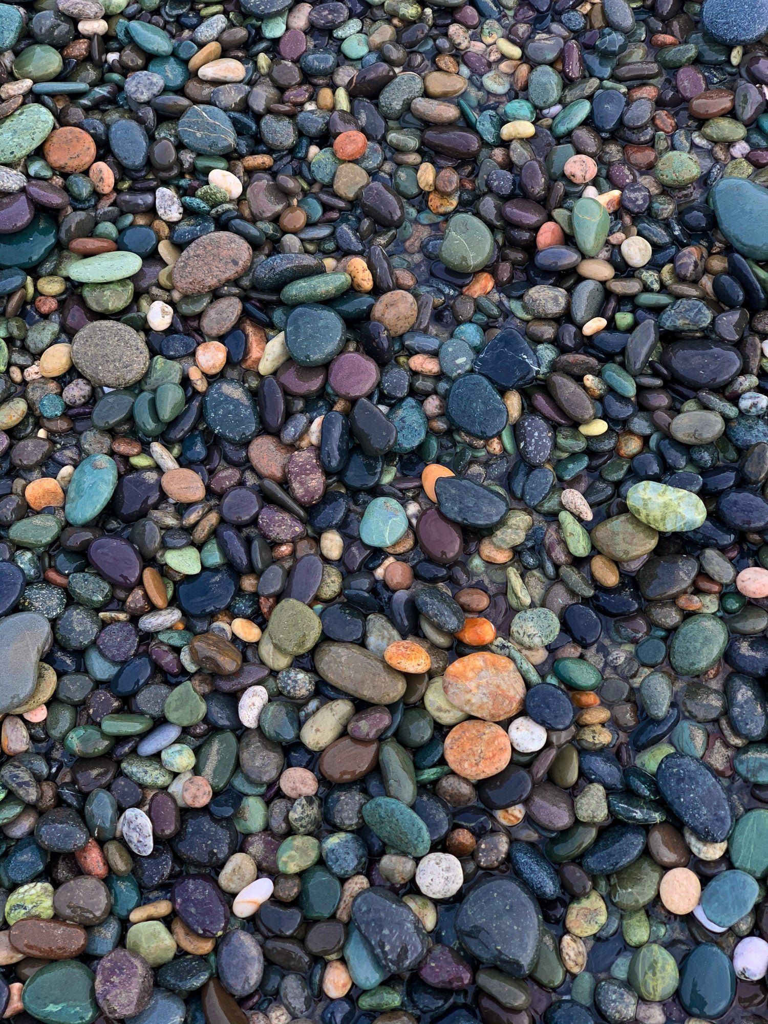
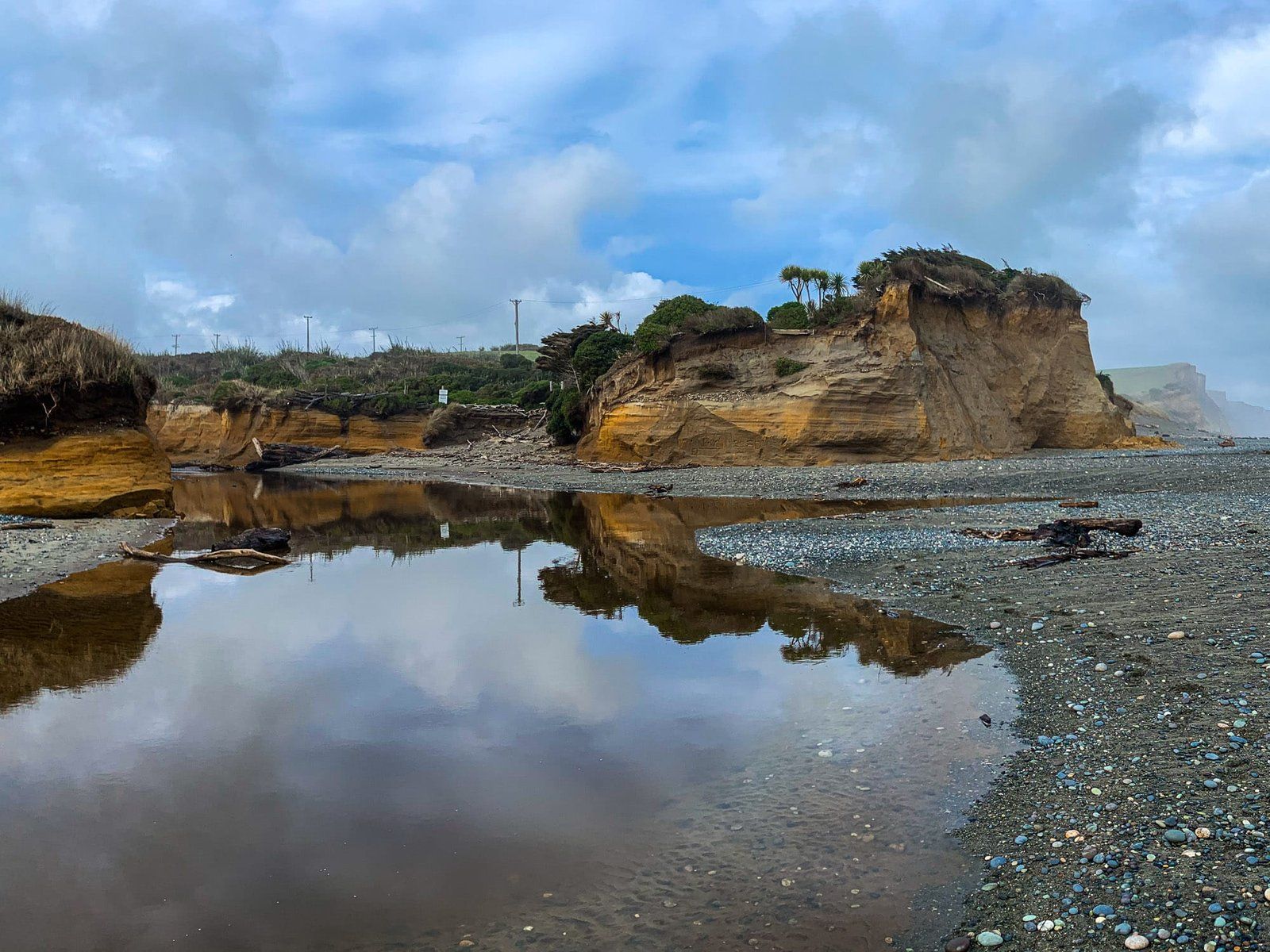
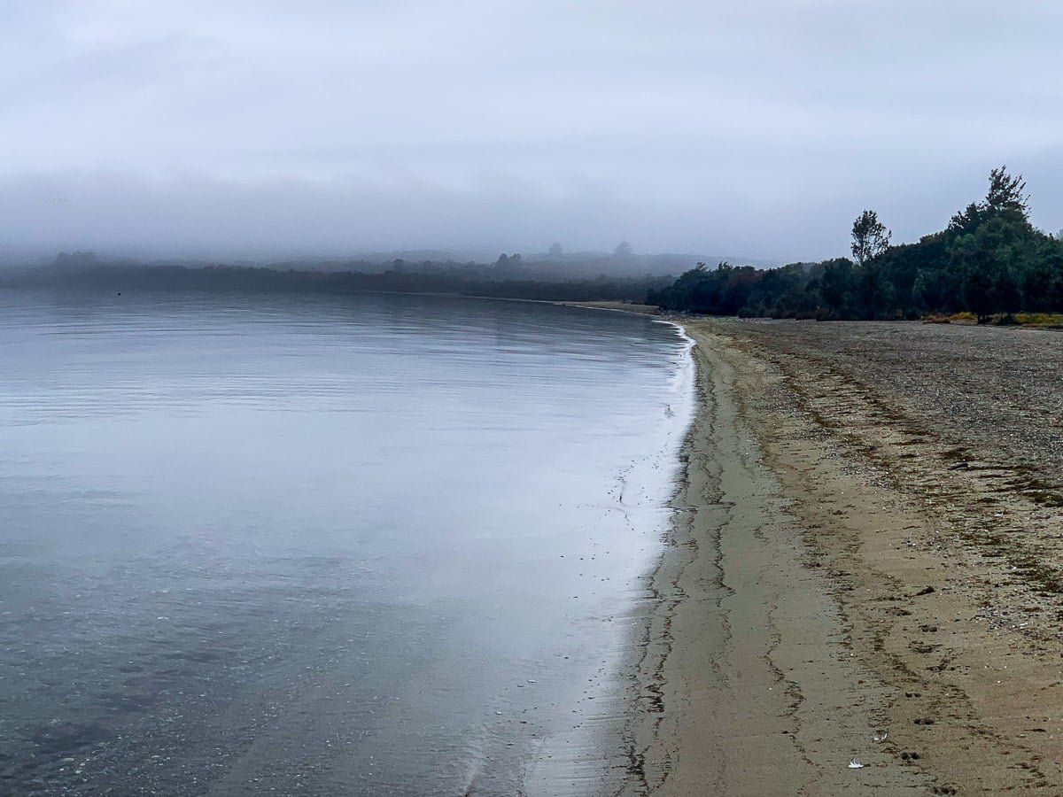
Once you head west along the coast, there are surf beaches at Colac Bay / Oraka, Wakapatu, and Monkey Island. You’ll then reach the much larger Te Waewae Bay, which has Gemstone Beach at its east end.
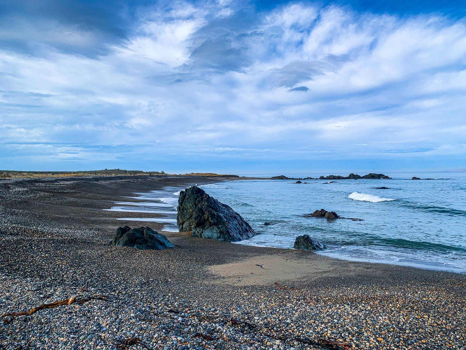
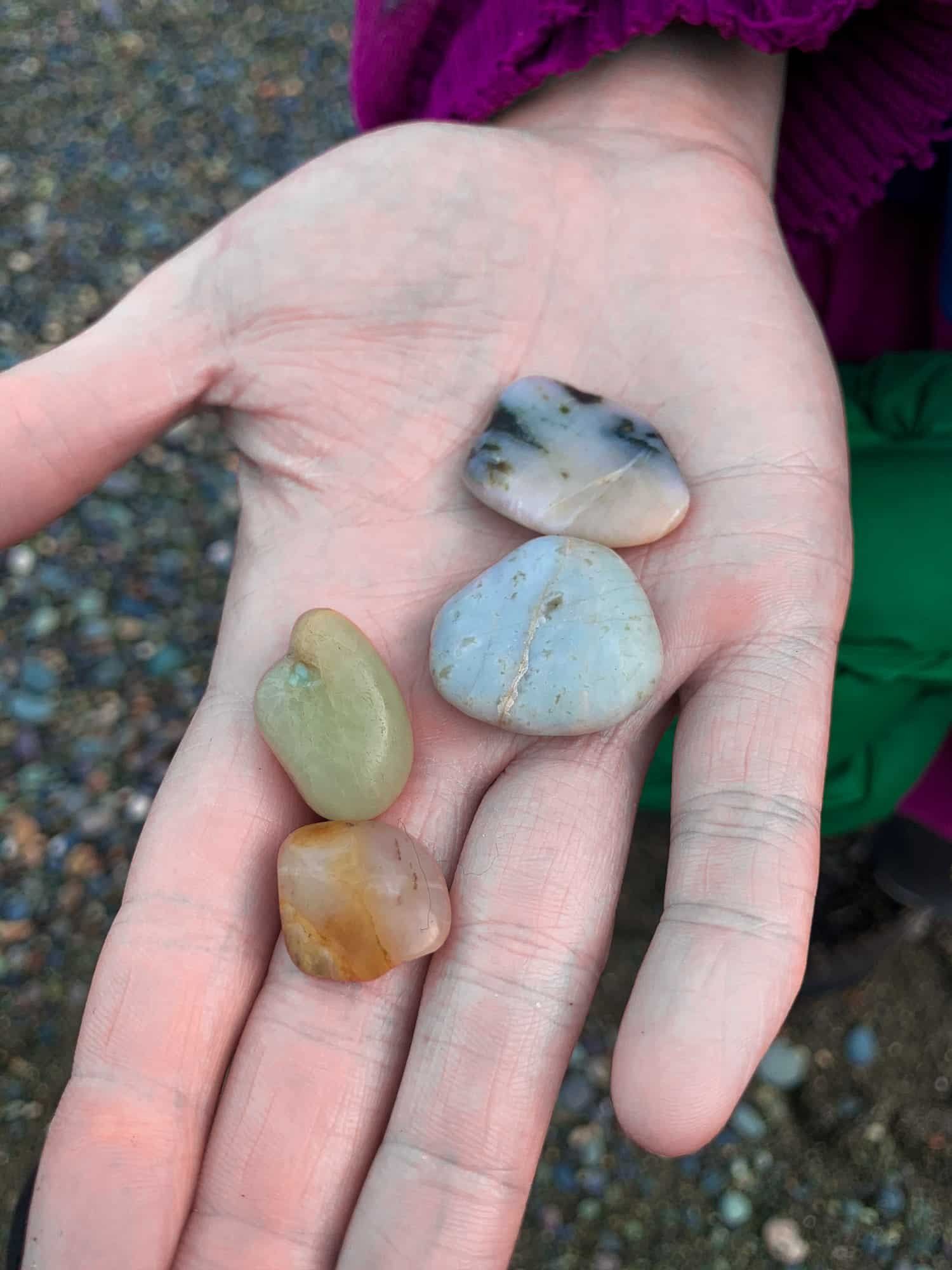
Gemstone Beach is a collection point for stones and rocks washed in from all around the wider region. Even if you don’t know what to look for when it comes to gems, the unique and multi-coloured stones and pebbles on the beach are amazing. Garnets are quite common, and pounamu and other precious stones are possible finds.
Fortunately, we met a collector there who showed us a selection of garnets. Apparently they’re the real thing if they remain shiny when dry.
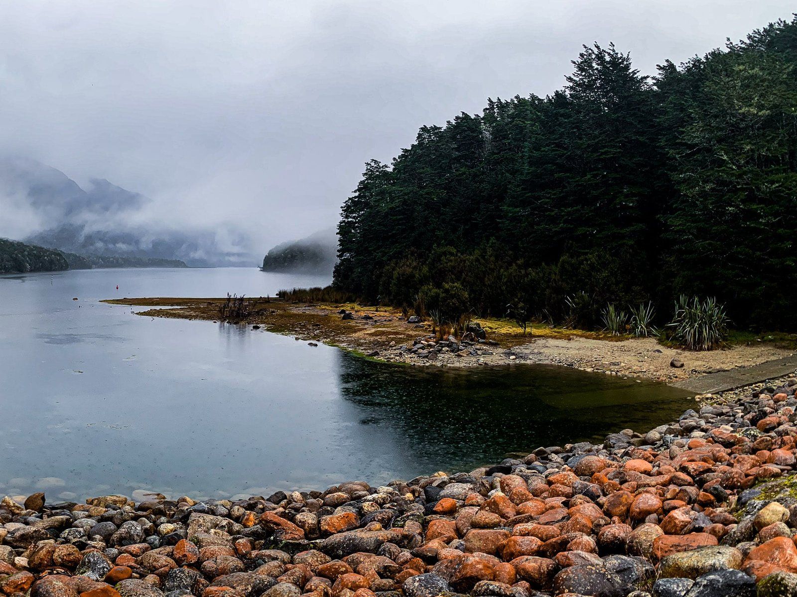
Clifden, Waiau River and Caves
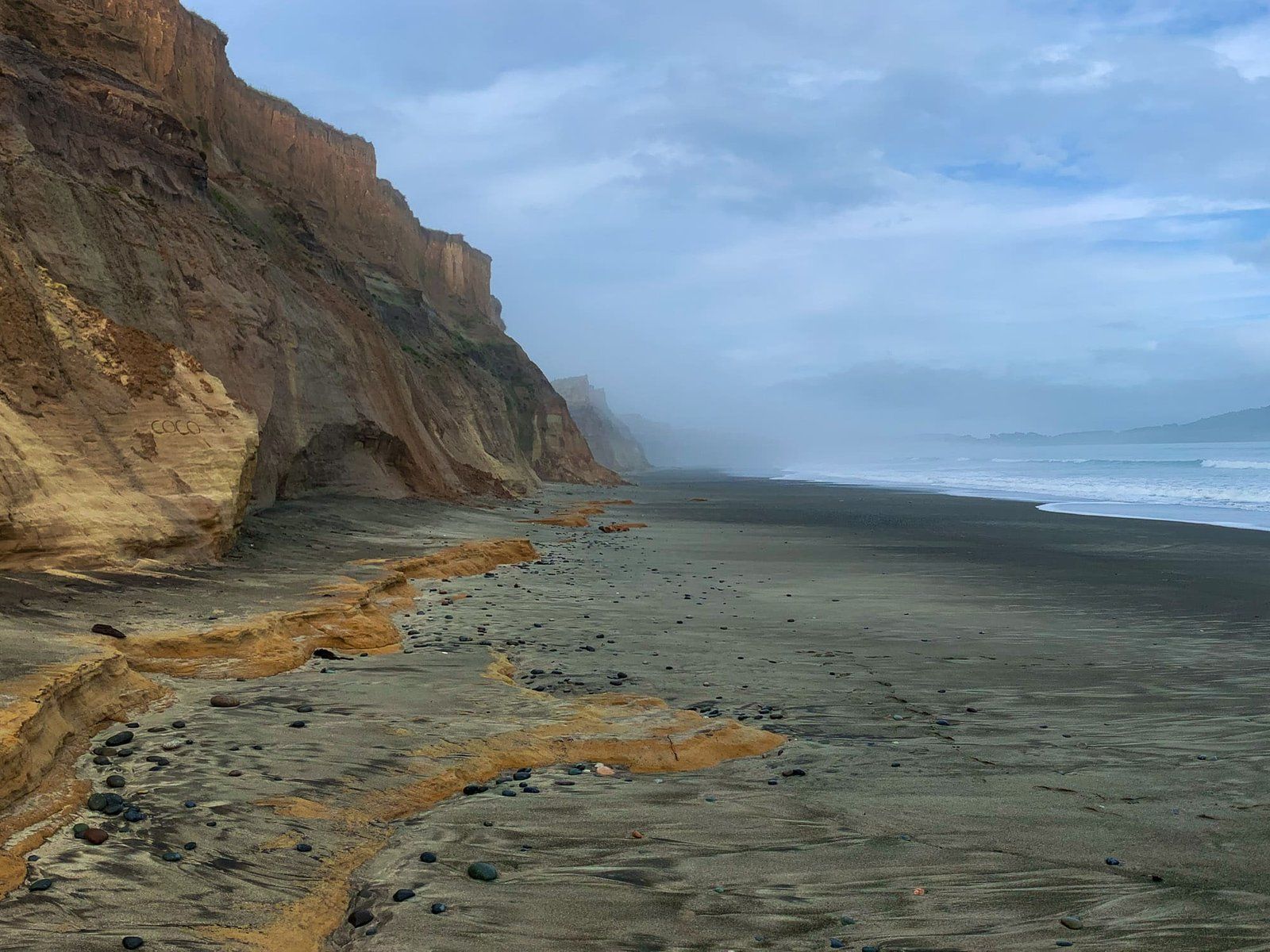
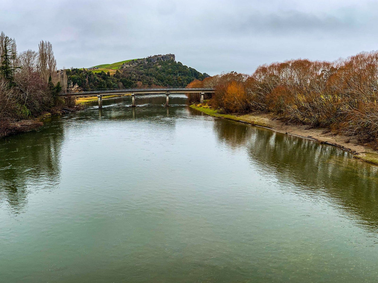
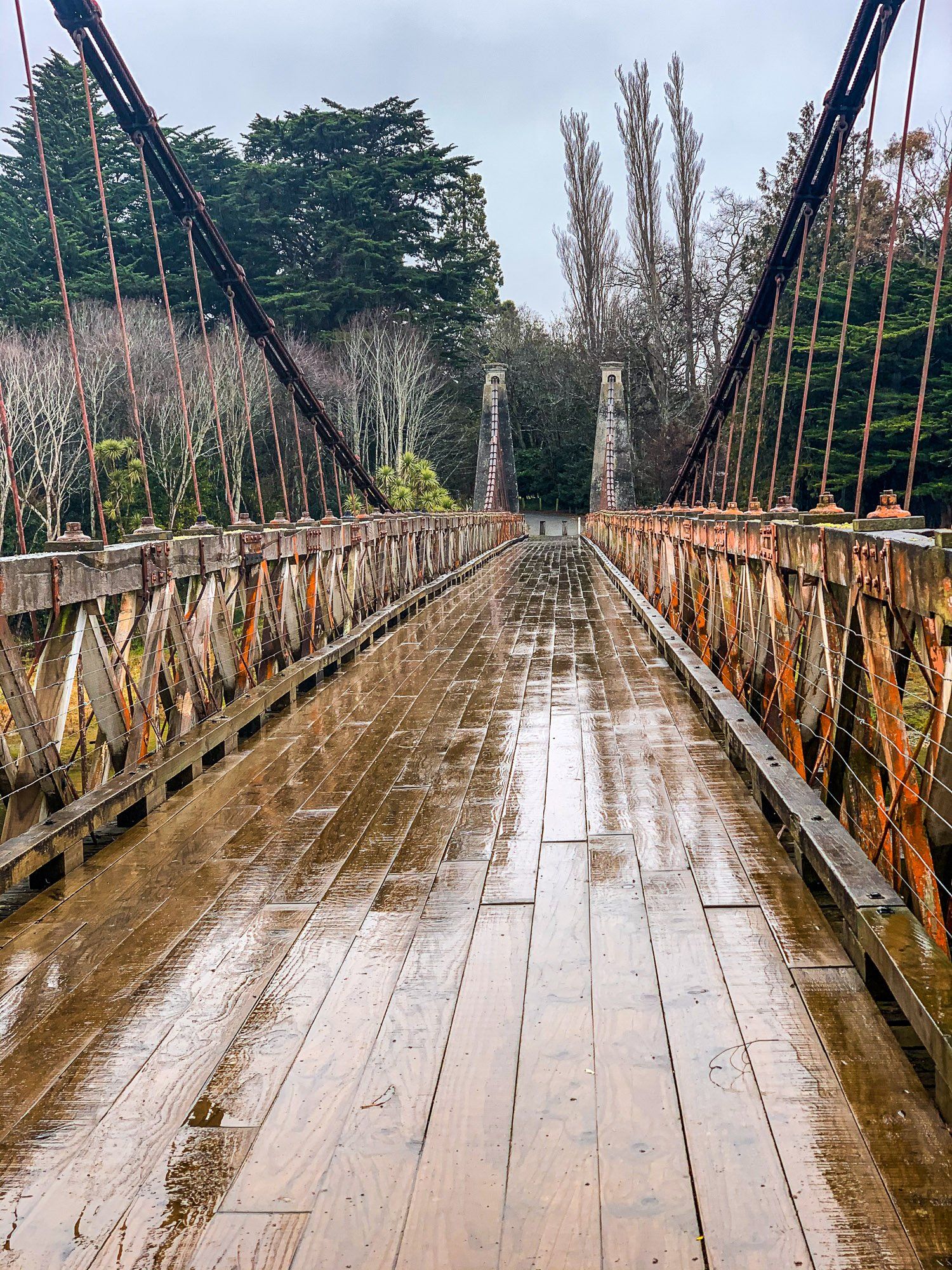
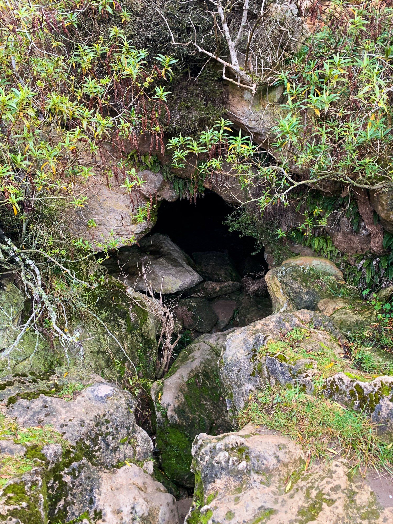
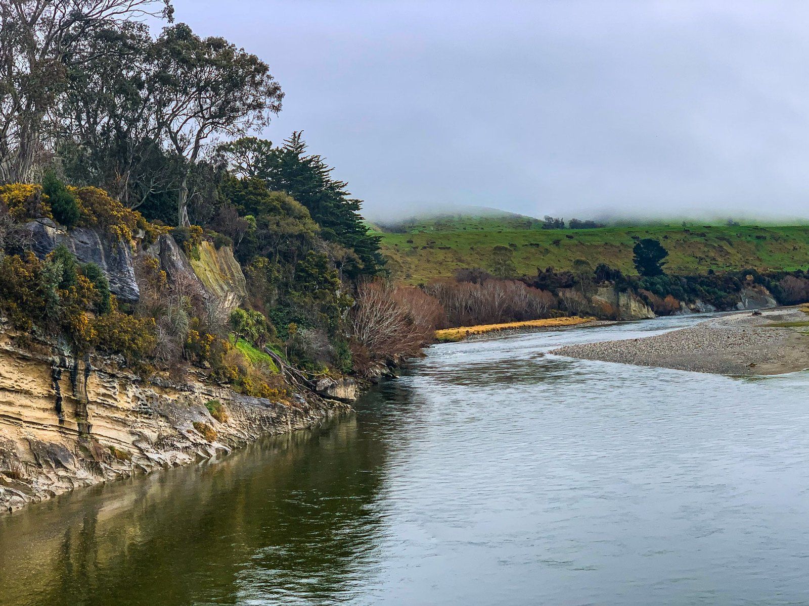
North of Tuatapere is the historic Clifden Bridge. The bridge gives you a good sense of the state-of-the-art suspension bridge technology 120 years ago. Before Clifden Bridge was built there was a punt ferry service to cross the Waiau River, a dominating body of water which links Lake Te Anau to Lake Manapouri, exiting south at Te Waewae Bay.
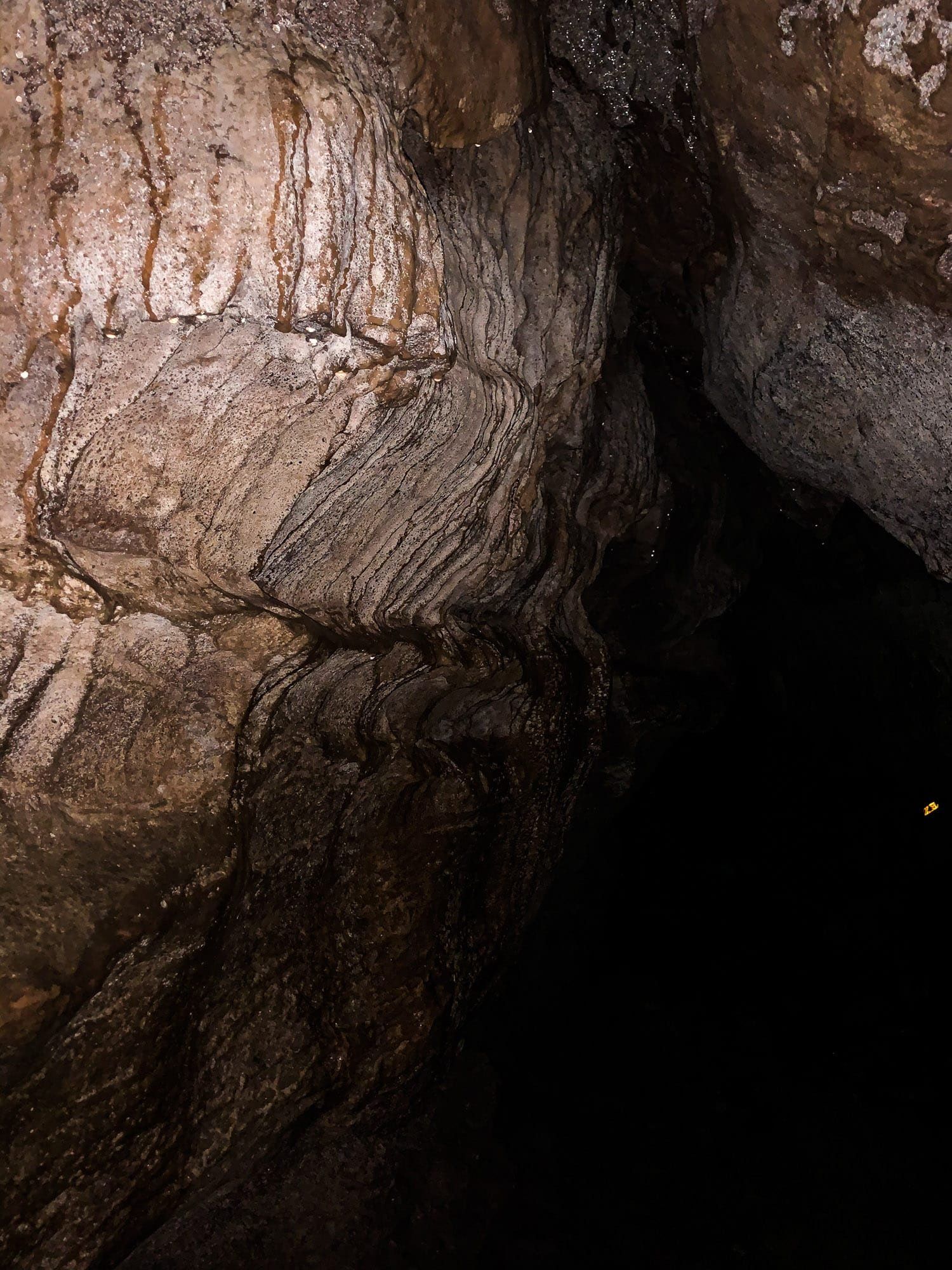
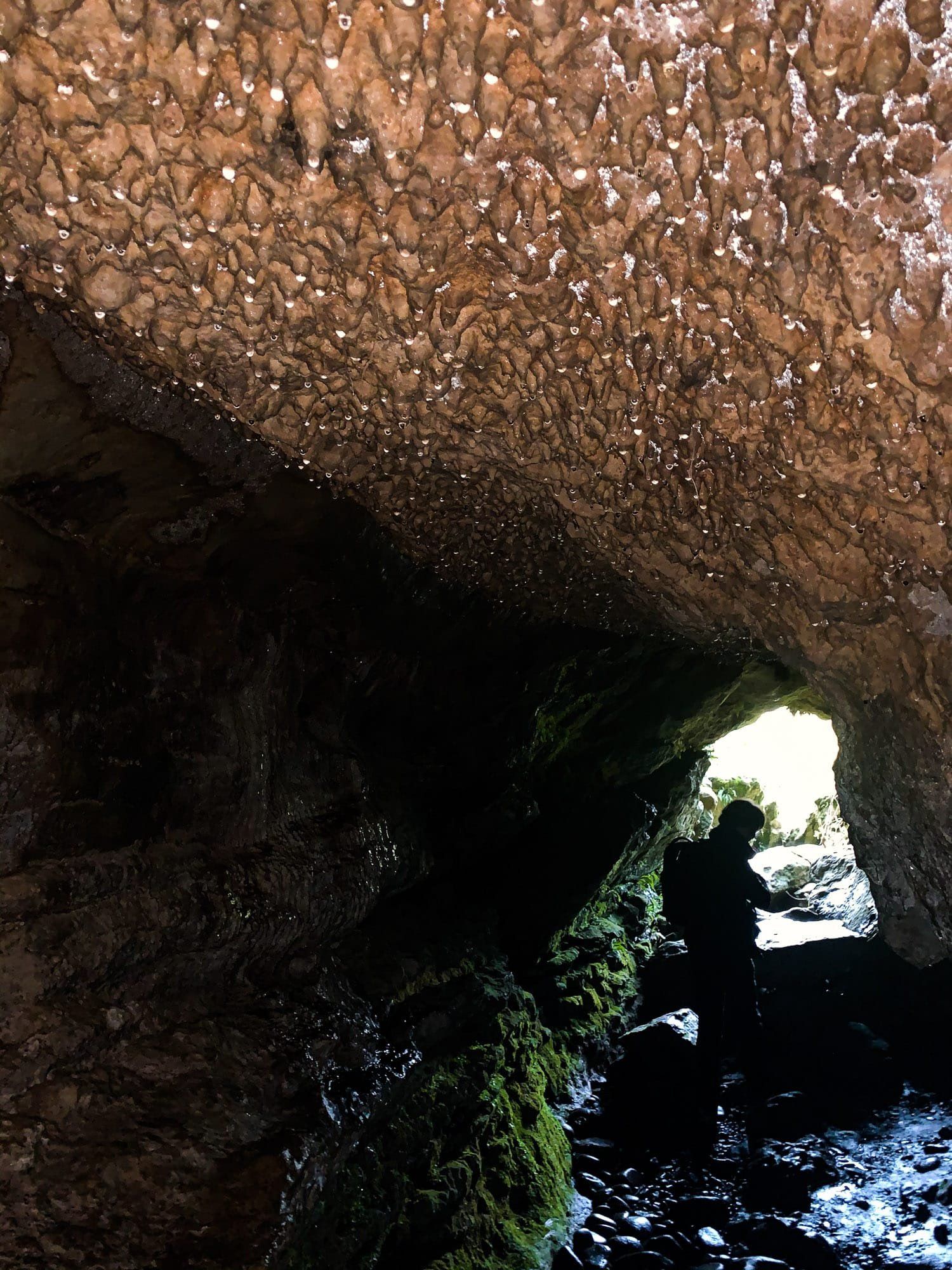
At the parking area and campsite there’s an interesting panel that describes the sedating effect of the Lake Manapouri hydro scheme on the river. Just to the east of the river on Clifden Road are some caves, which you can explore by torchlight. They get dark and tight quite quickly!
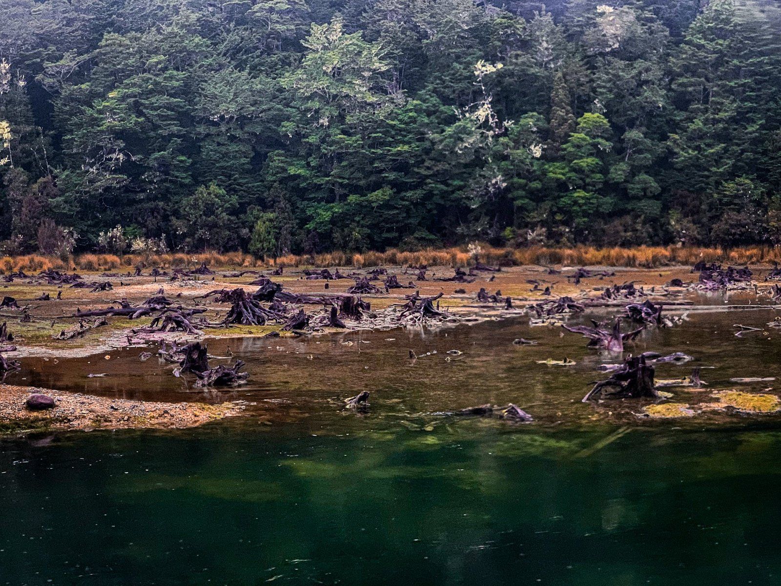
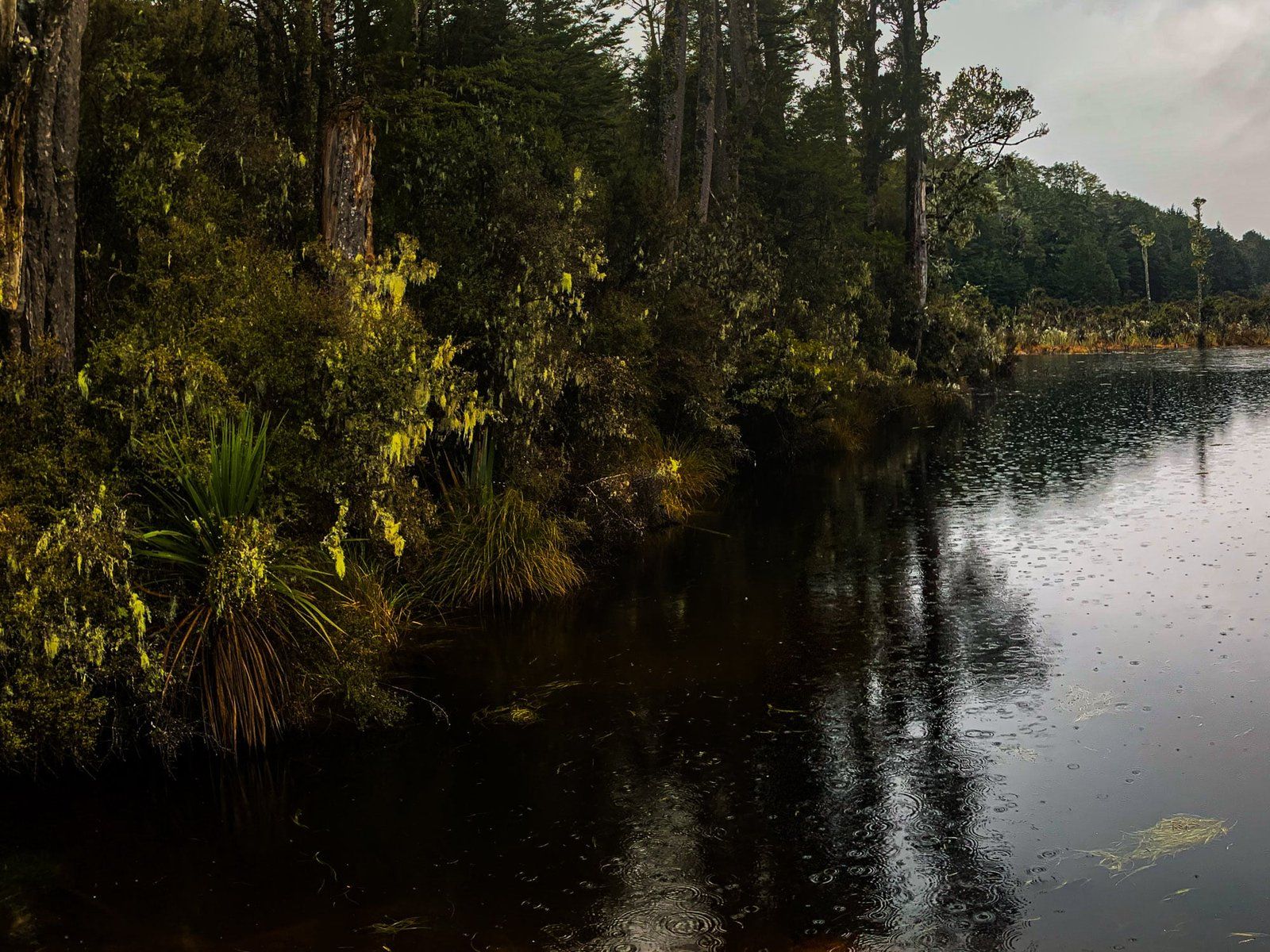
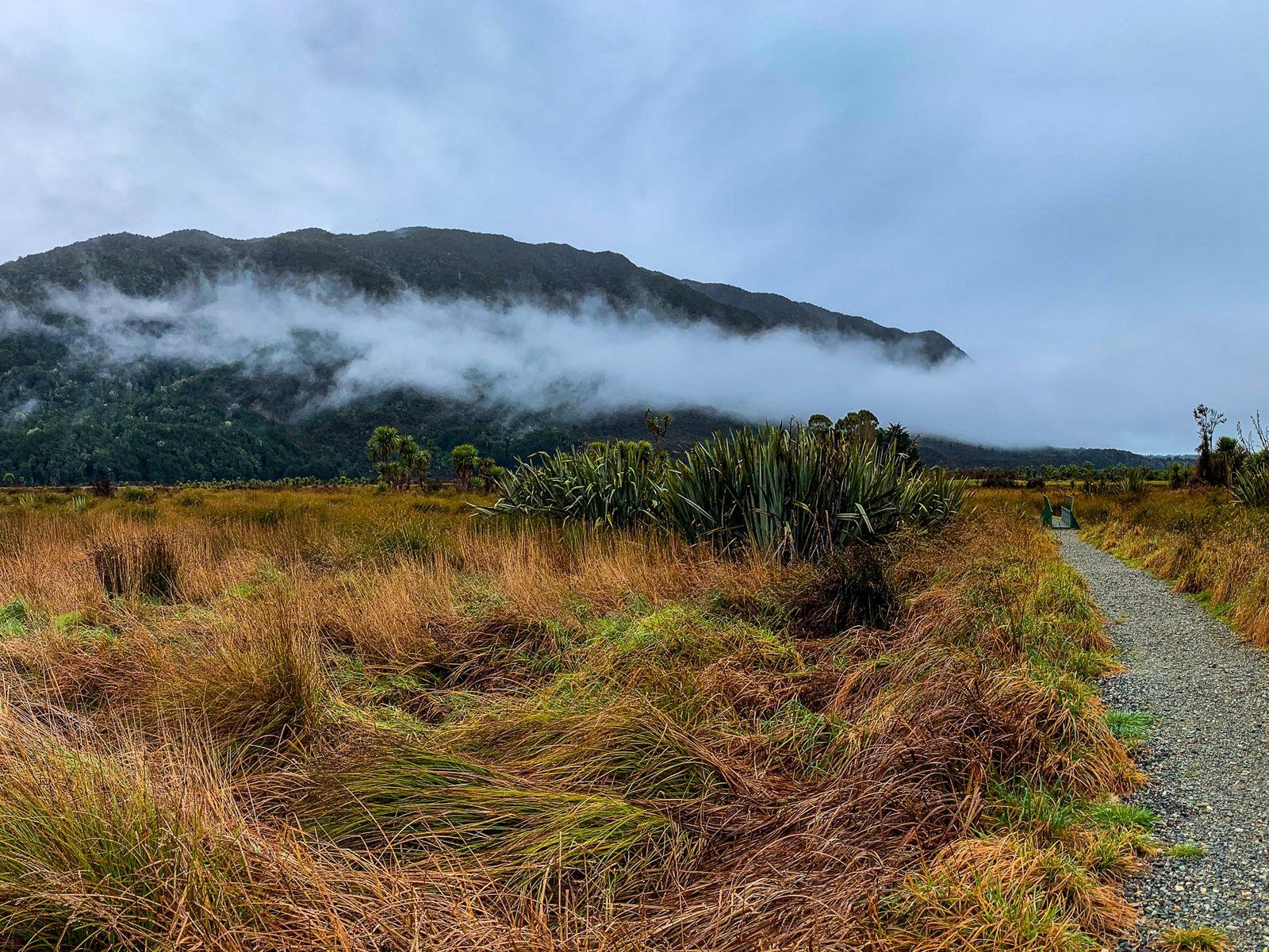
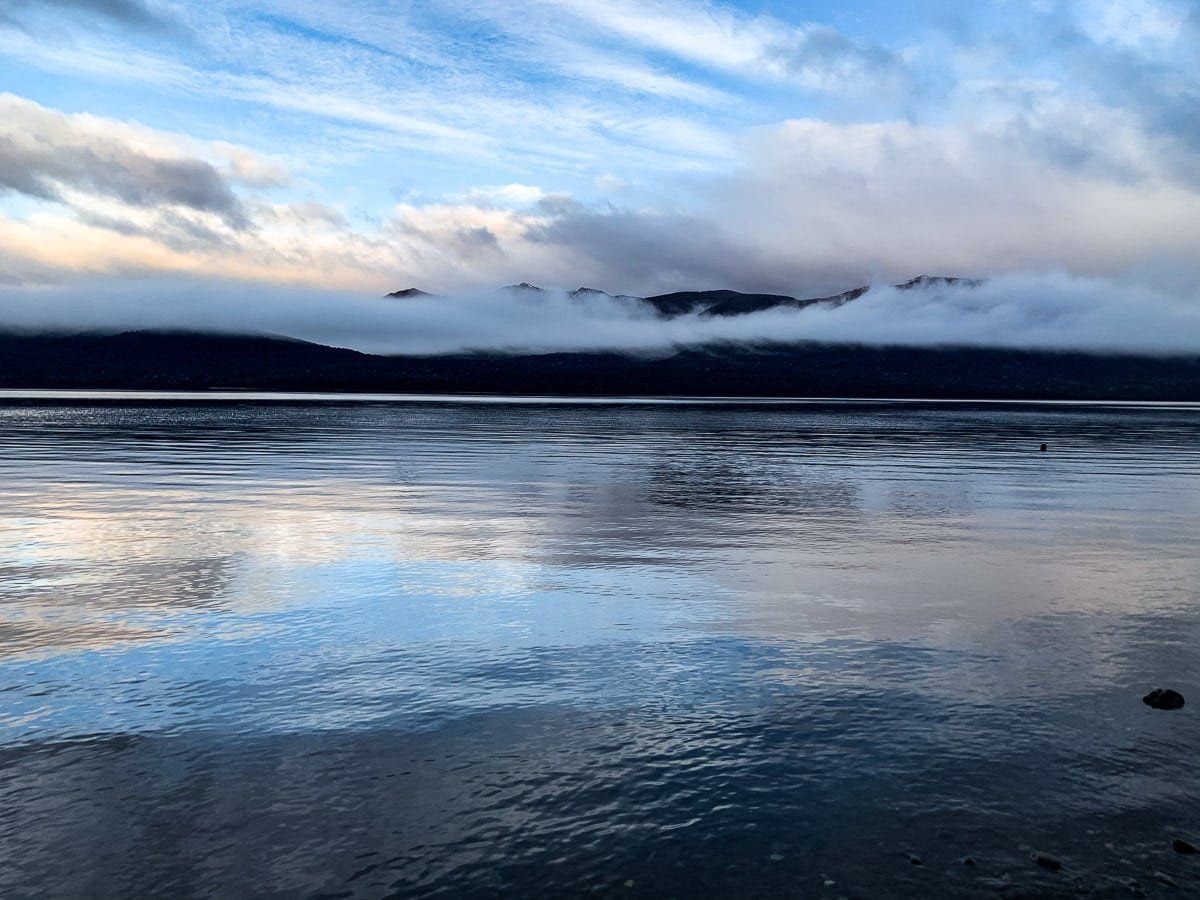
Lake Monowai
Lake Monowai is one of the most accessible entry points into Fiordland, with a campground and hiking trails. It’s about 20 kms from the Southern Scenic Route, and can be found just before you enter the valley between the Takitimu Mountains and Hunter Mountains.
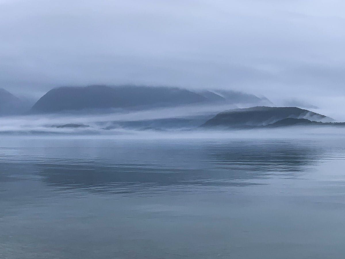
On a misty, overcast day Lake Monowai and river below the hydro control outlet appear almost prehistoric. A small area of forest was drowned by the raising of the lake for power generation, and the tree stumps can still be seen. Below the lake is a quintessential “black lagoon”.
If you have time, follow the sign up Borland Road to the nature reserve and Borland Track, or if you’re up for a longer detour, head to Lake Hauroko. It’s about 40 kms each way from Clifden and even less visited.
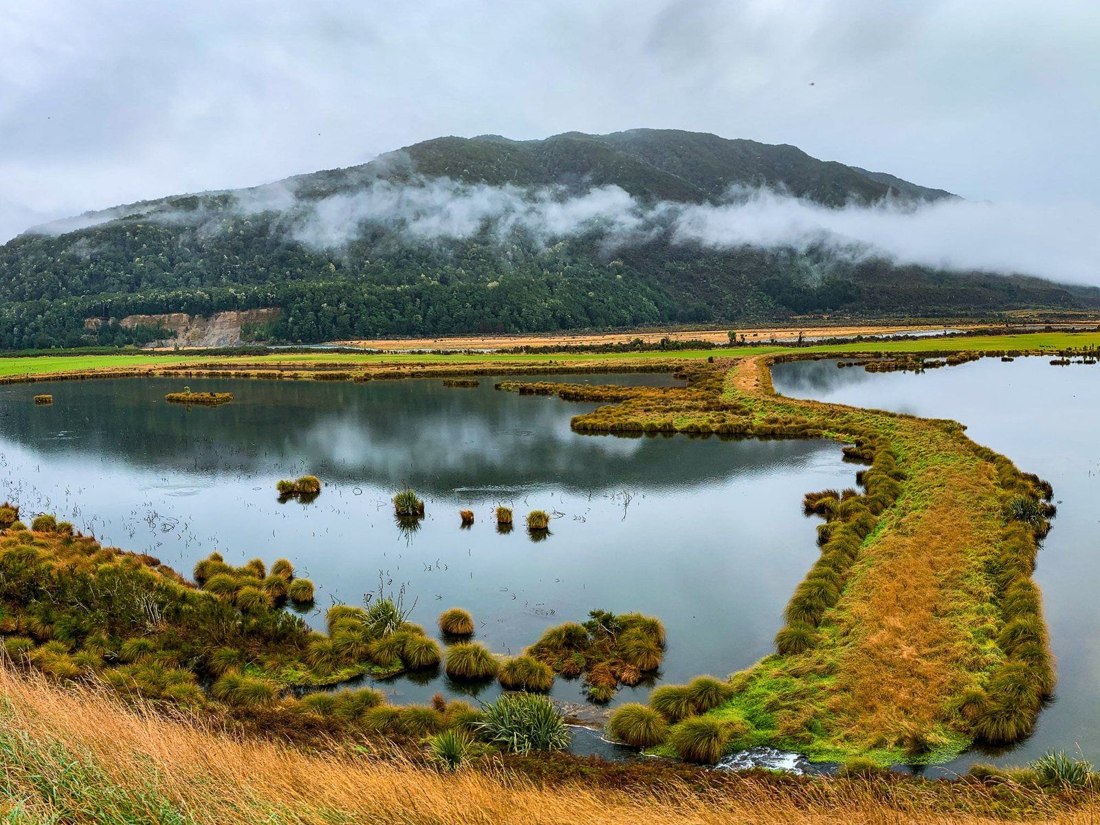
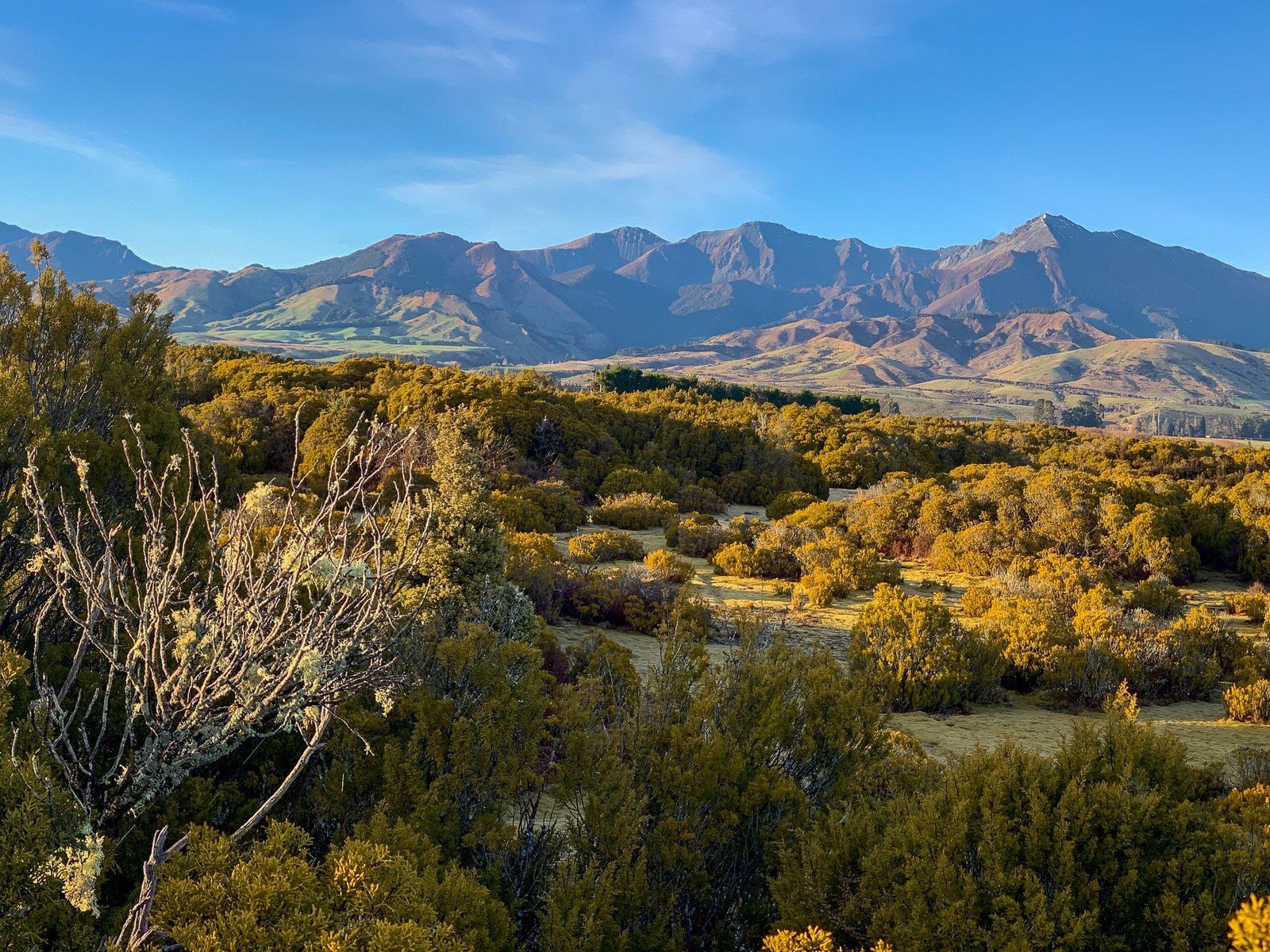
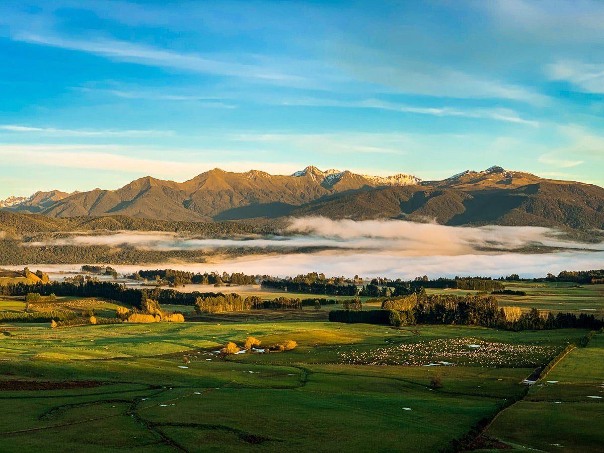
Reserves and Wetlands
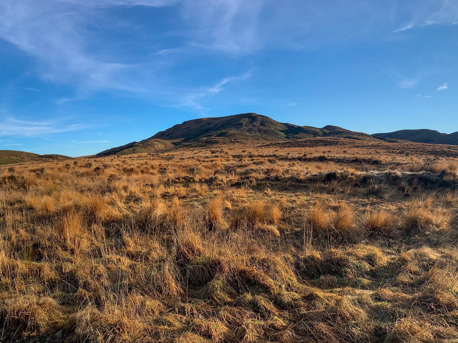
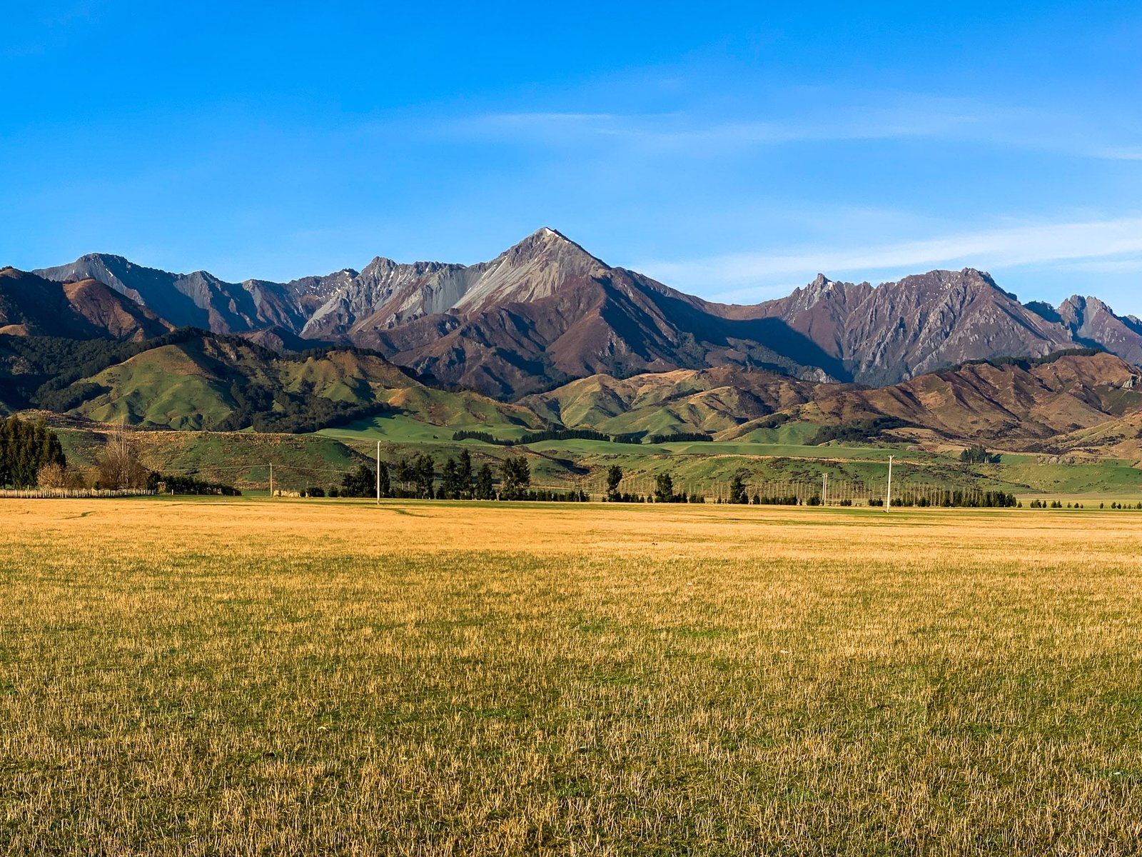
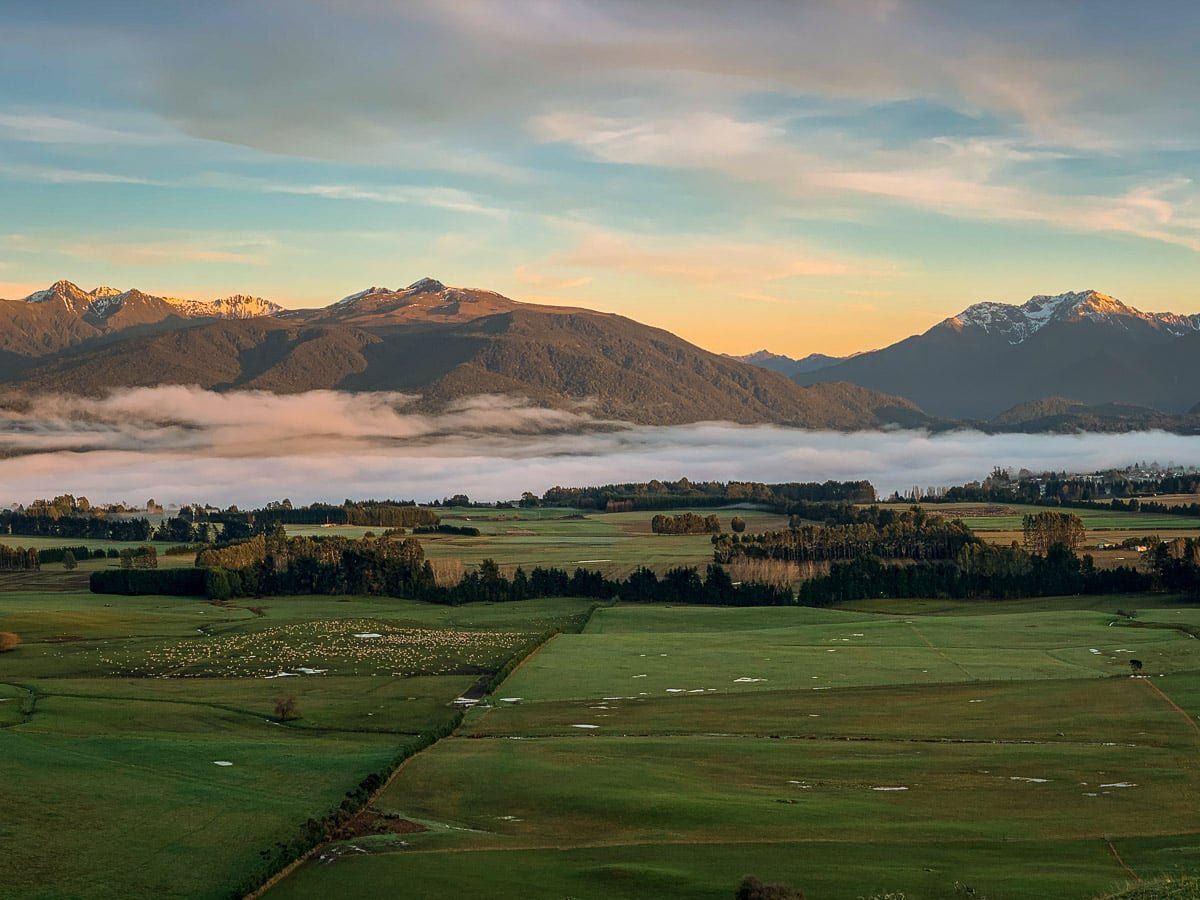
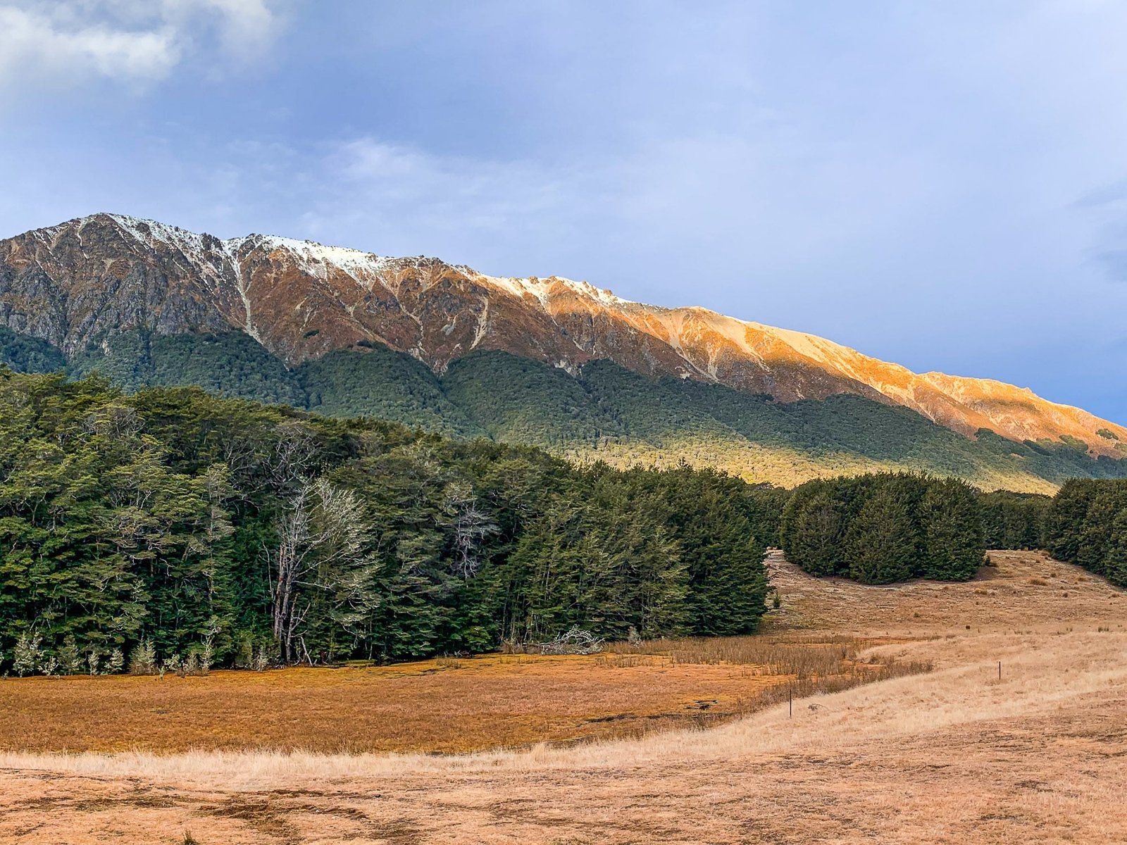
There are several reserves on the Southern Scenic Route that illustrate what Southland was like before large scale settlement and farming. These photos show the restored Rakatu Wetlands south of Manapouri, the Scientific Wilderness Reserve to the east of Te Anau off the main highway, and a red tussock reserve before Lumsden. All three reserves are easy to access from the road, with walking options and great views. Behind the Scientific Wilderness Reserve and and the red tussock reserve are the Takitimu Mountains.
The Scientific Wilderness Reserve is particularly interesting, as it allows us to look back to the first vegetation after glaciers retreated 10,000 years ago. The bog pines take hundreds of years to get to waist height.
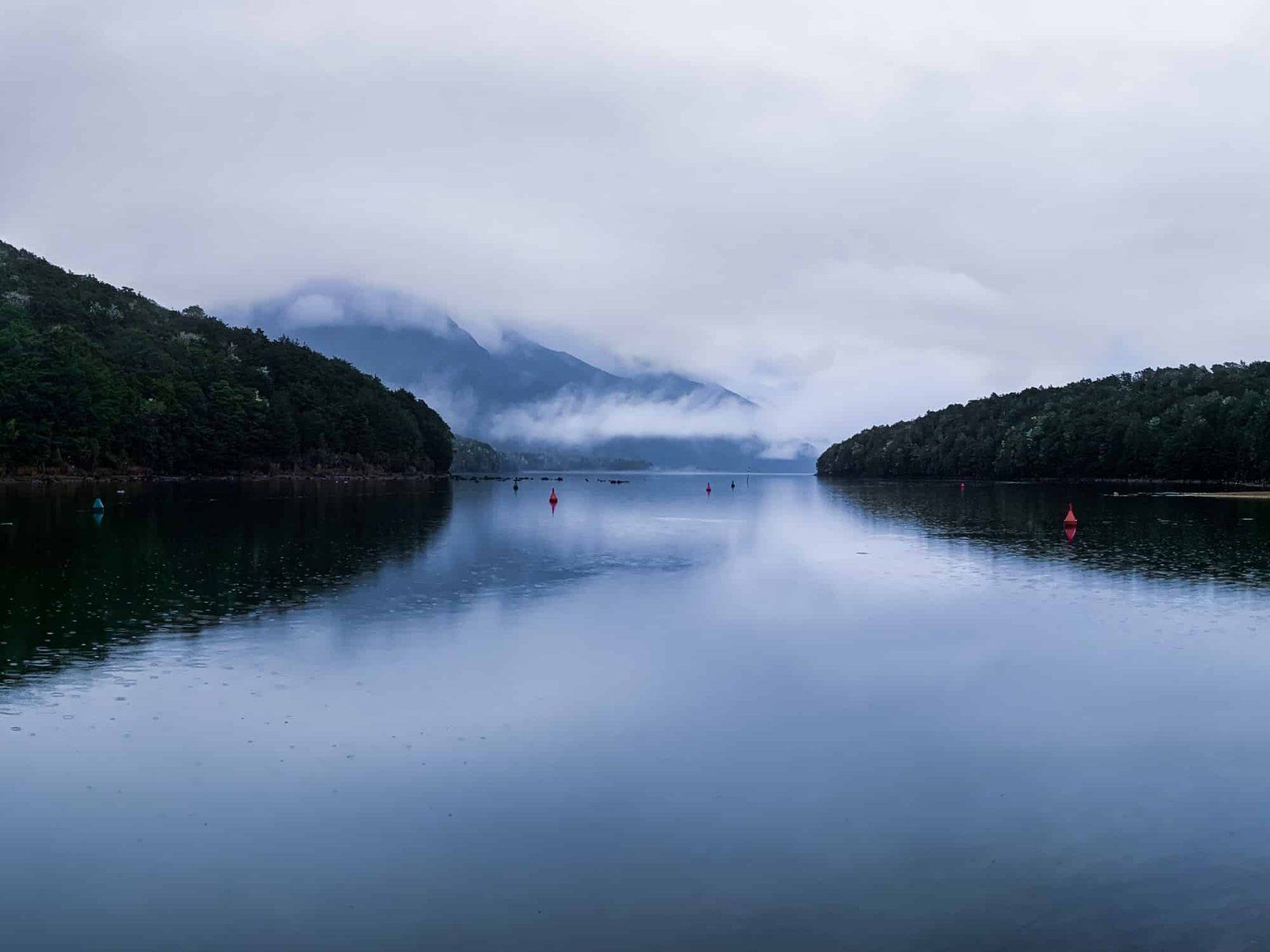
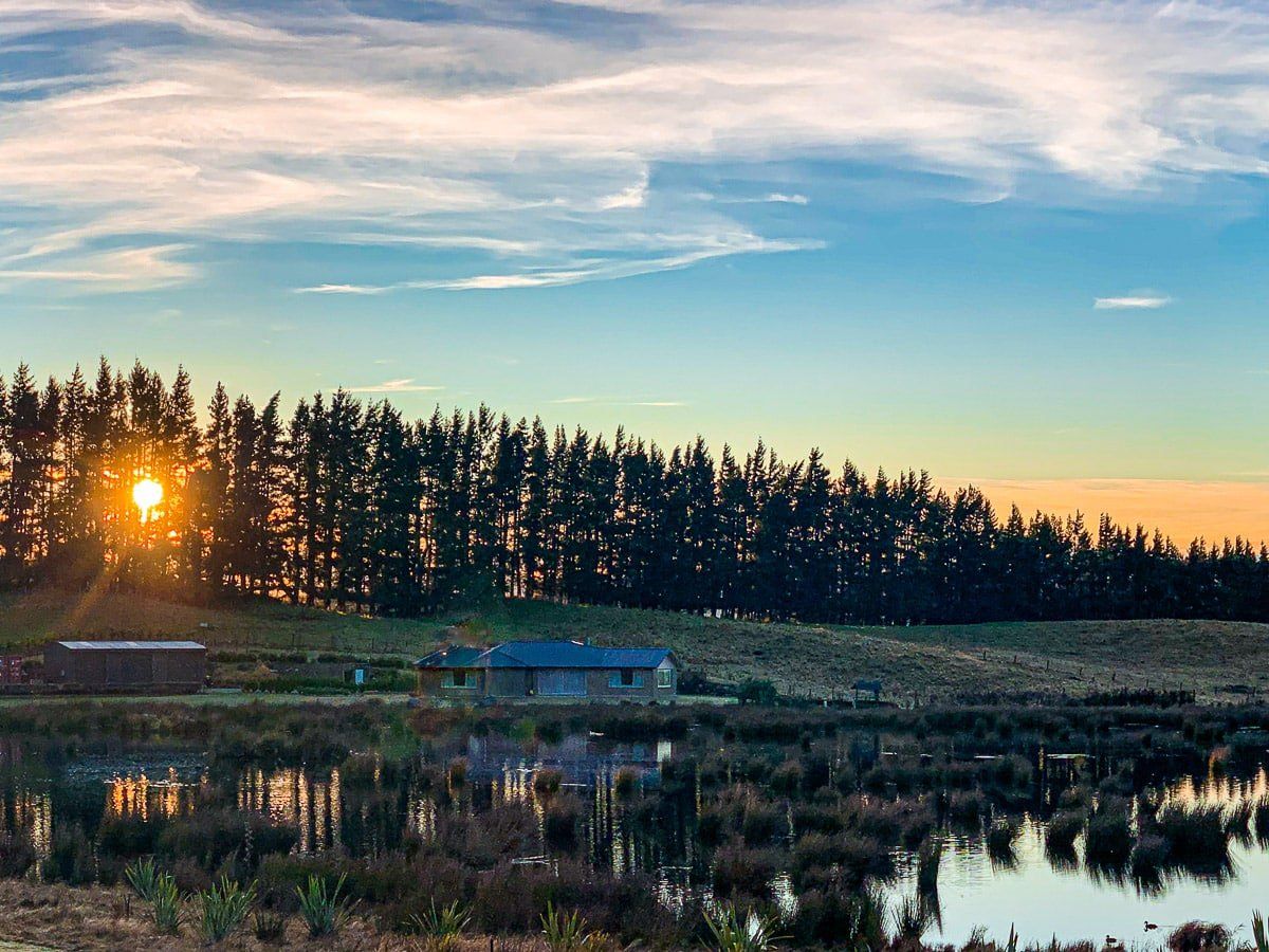
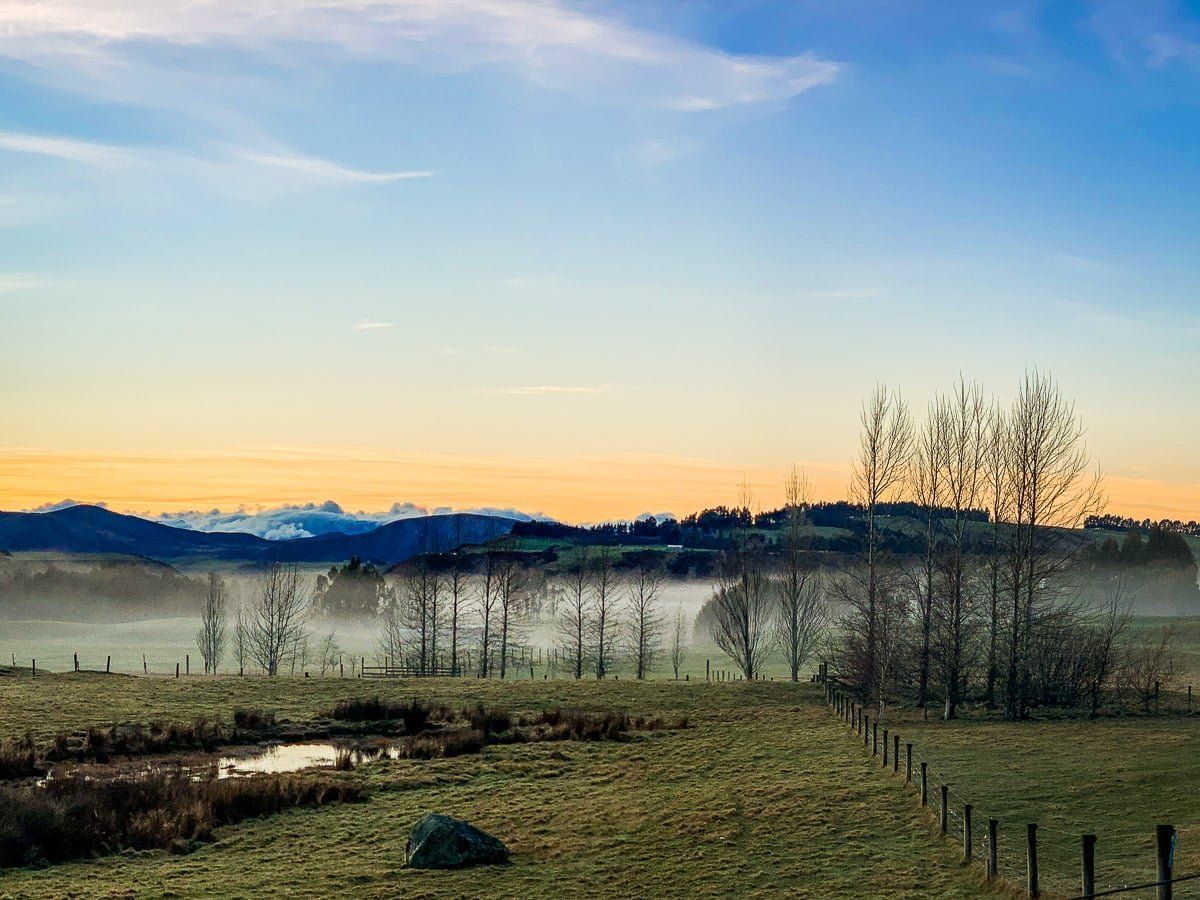
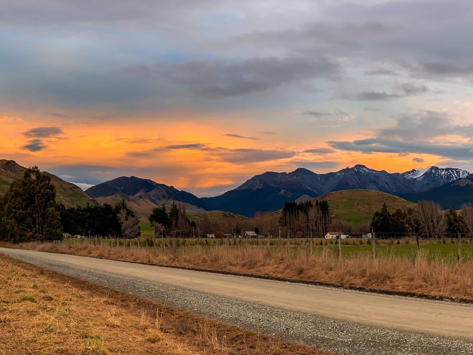
Manapouri and Te Anau
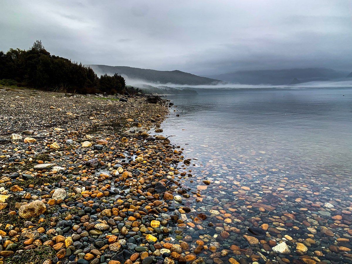
On your way, make sure to stop in Manapouri or Te Anau. Both are picturesque, with great cafes and accommodation options. These photos were taken in the early morning, and include viewpoints to the east of Lake Te Anau captured not long after the rain and fog had cleared.
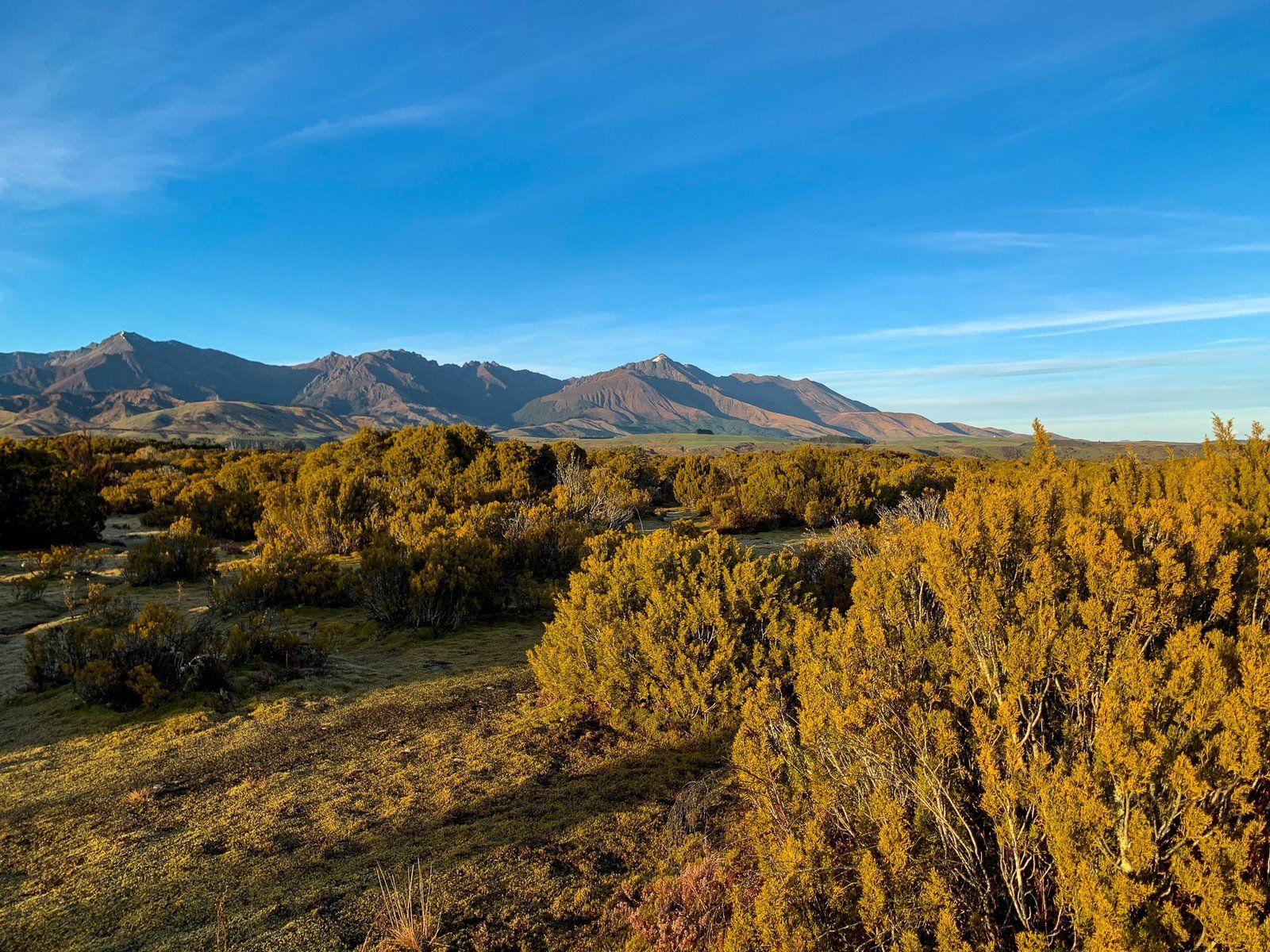
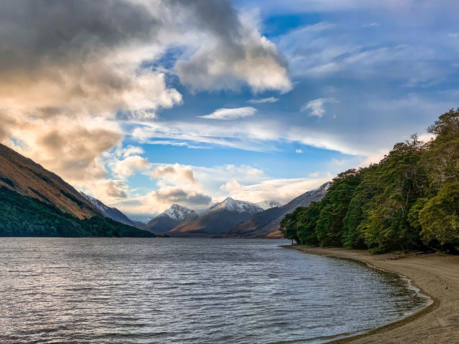
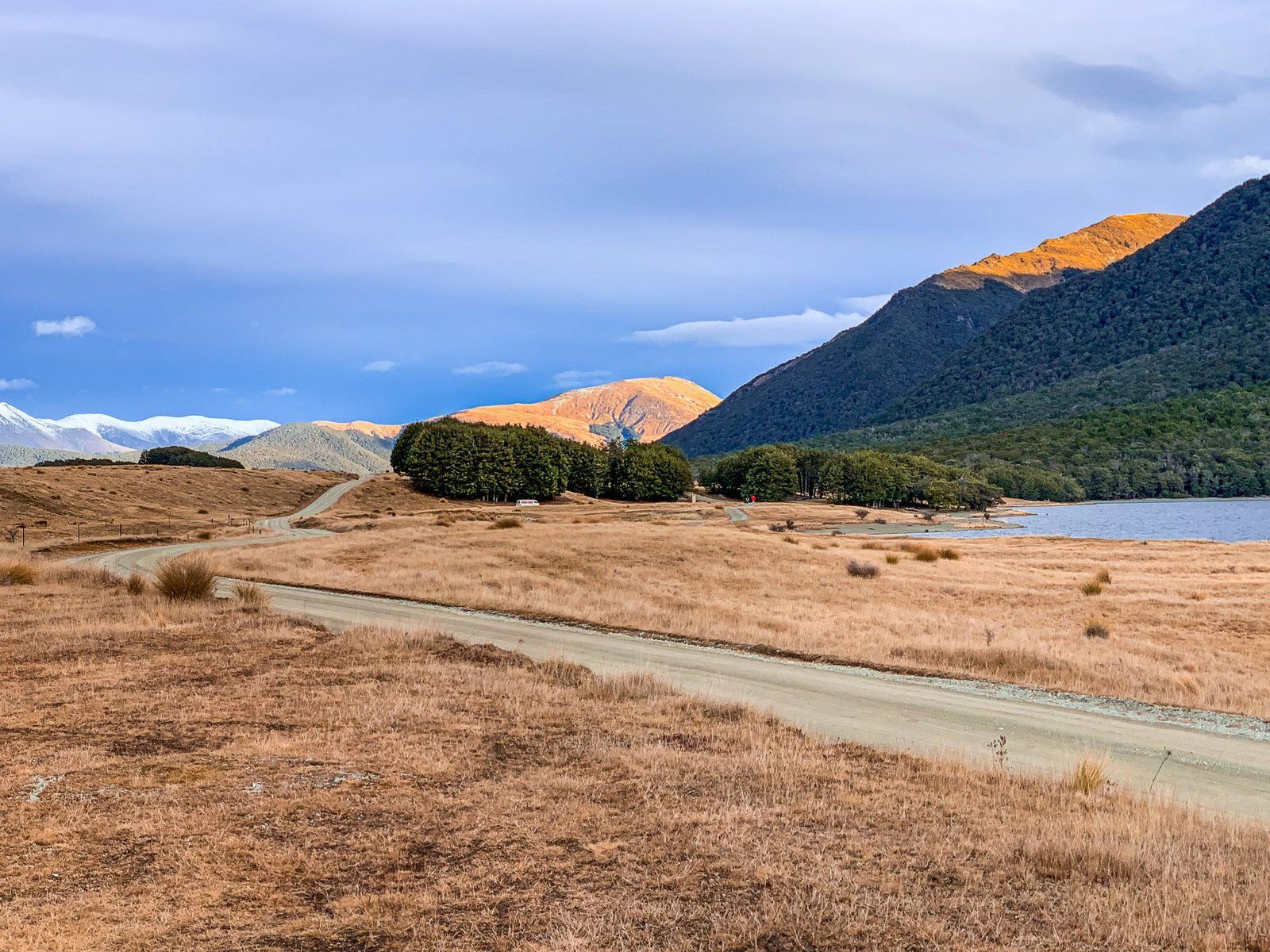
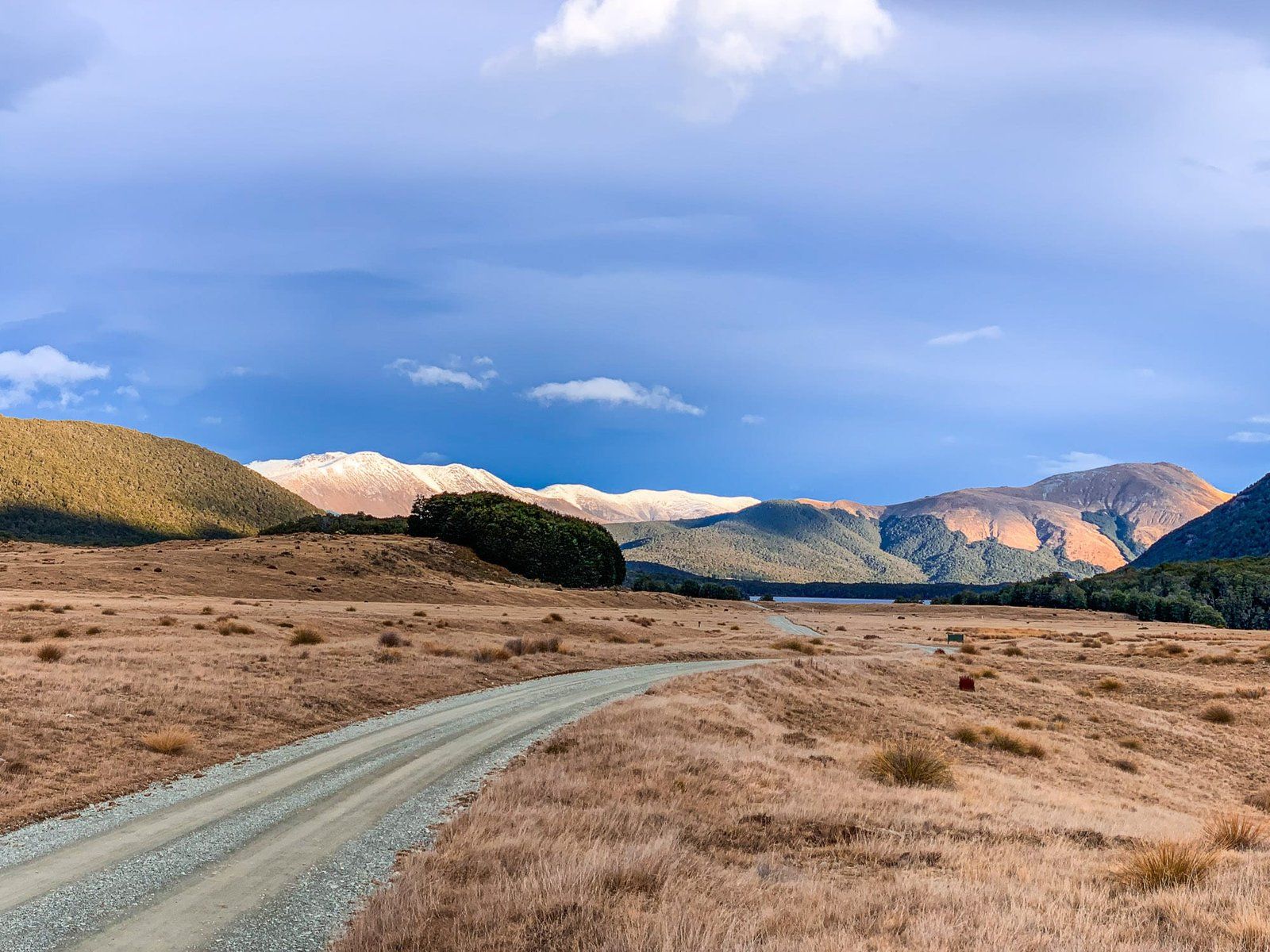
Mavora Lakes
The twin Mavora Lakes are easy to overlook, as they’re a significant deviation (80 kms return) from the Southern Scenic Route on a metal road. Despite the detour, they’re well worth it – the Mavora Lakes are remote and beautiful, with camping, fishing and hiking, nestled between the Thomson and Livingstone Mountains.
You can also follow a fork in the Mavora Road all the way to Mt Nicholas and Walter Peak on the southern side of Lake Wakatipu, almost opposite Queenstown.
Want more South Island trip ideas?
Check out our recent posts about Milford Sound, Queenstown, the West Coast, and Dunedin.