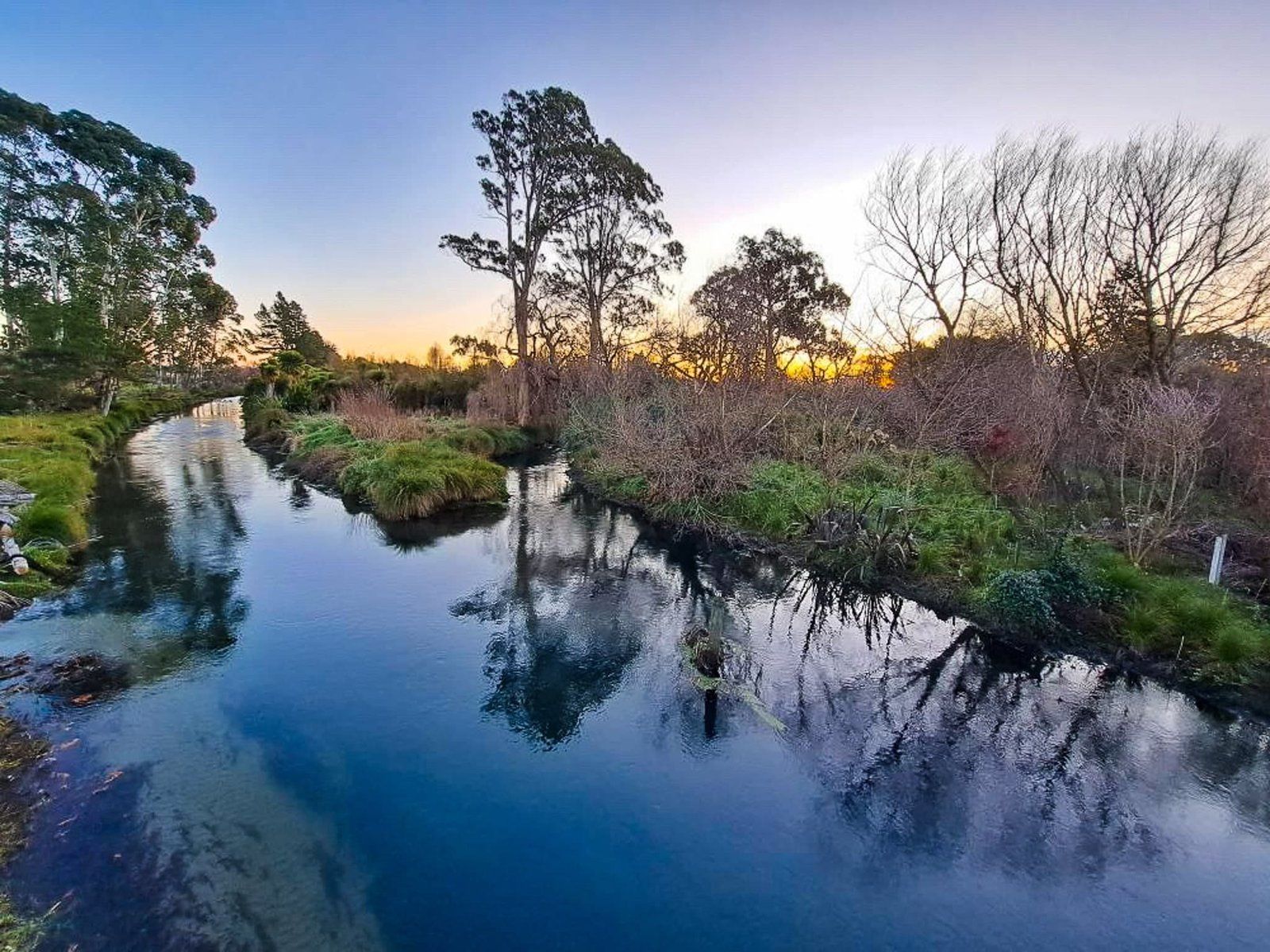
The flatlands of Christchurch were once a swampy wetland with meandering rivers and a pre-European settlement known to Māori as Ōtautahi. The best-known river is the pretty Avon that wanders through central Christchurch. But others were not treated as well. The land was drained and used for farms and homes. One example is Pūharakekenui / Styx River (check your Greek mythology for the European name).
This 25 km river was important to Ngāi Tahu as a food source. Today, it starts in the suburb of Harewood west of the airport and meanders around the north side of Christchurch to the Pacific Ocean via Brooklands Lagoon and the Waimakariri River. Over the years, it has been badly affected by the changed environment.
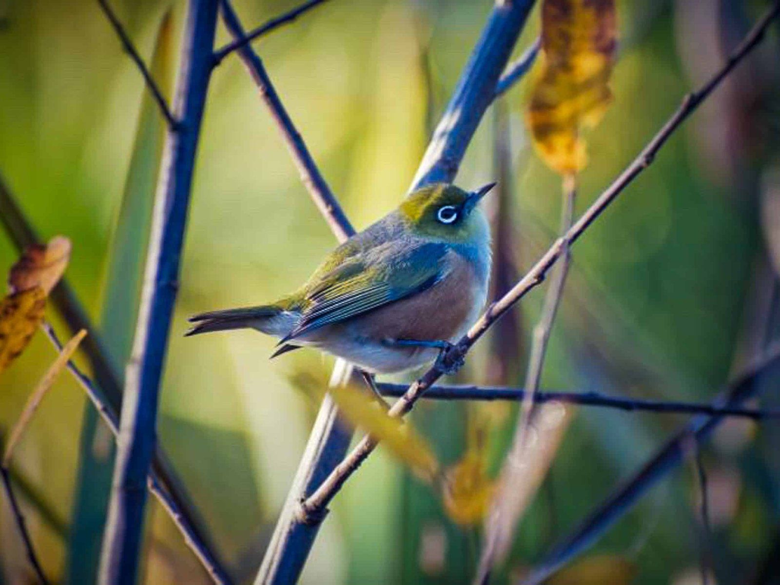
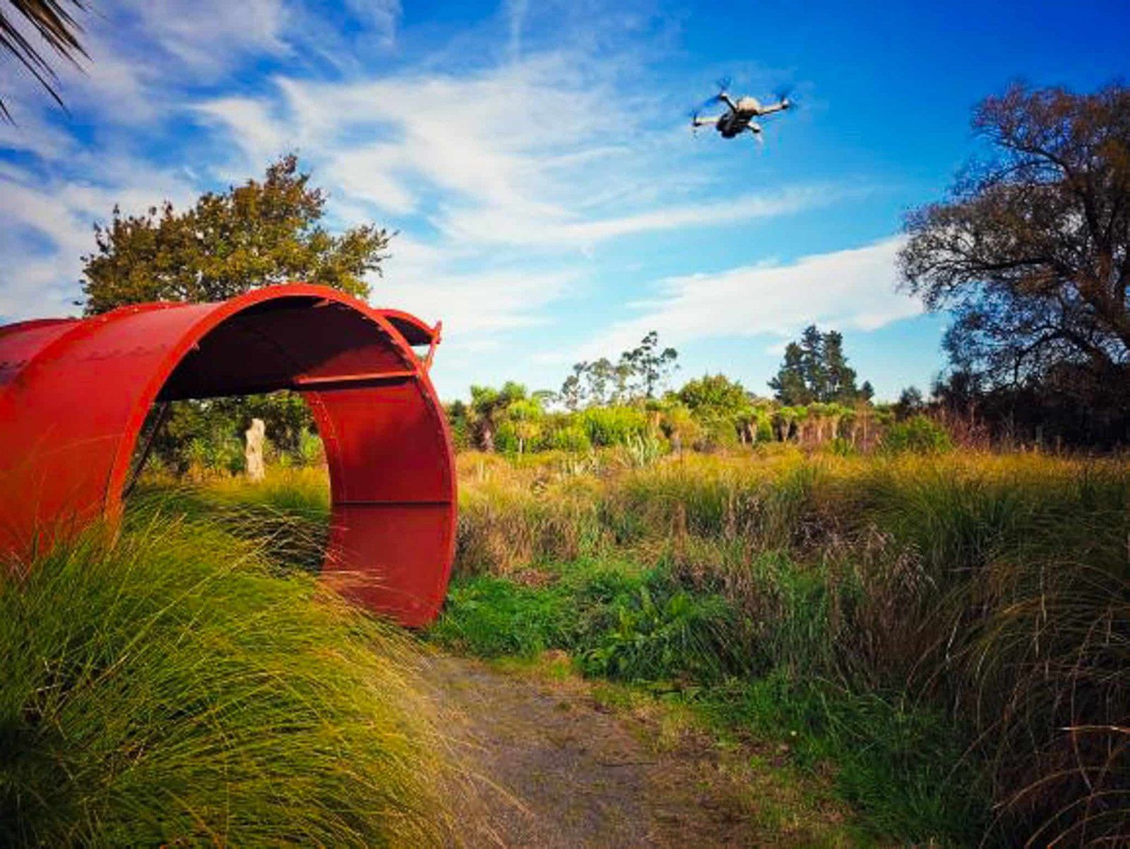
But what can be done can be undone, at least to some degree. The Styx Living Laboratory Trust is a voluntary community organisation established in 2002. It has been undertaking various projects for years in partnership with local iwi and the city council to restore the river and some of its surrounds. The trust describes its work as a ‘living laboratory’. Their objectives are to improve and maintain water quality and generally enhance the river's ecology, landscape, culture, heritage and recreational use. The current projects can be found on their website.
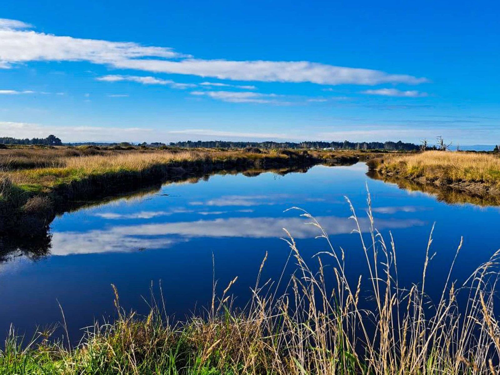
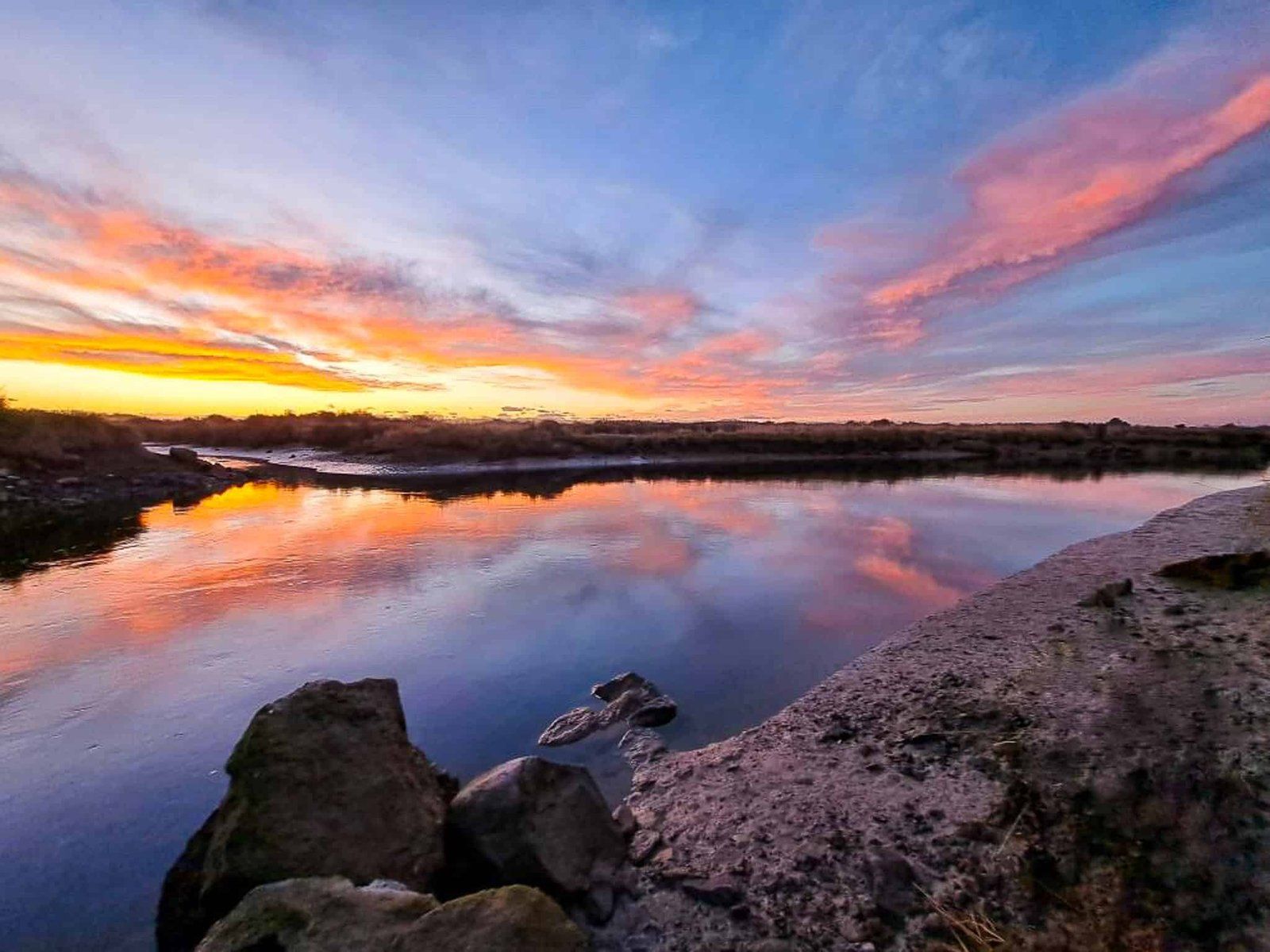
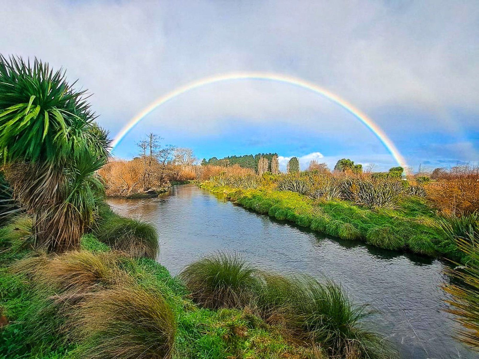
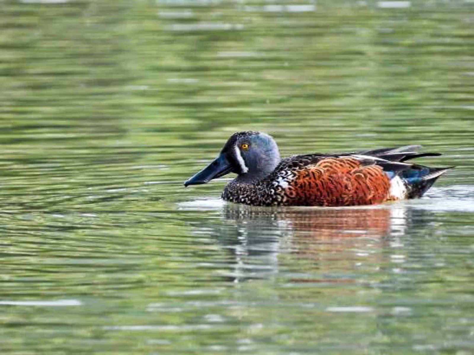
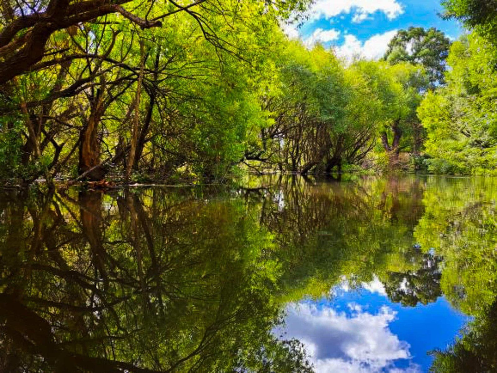
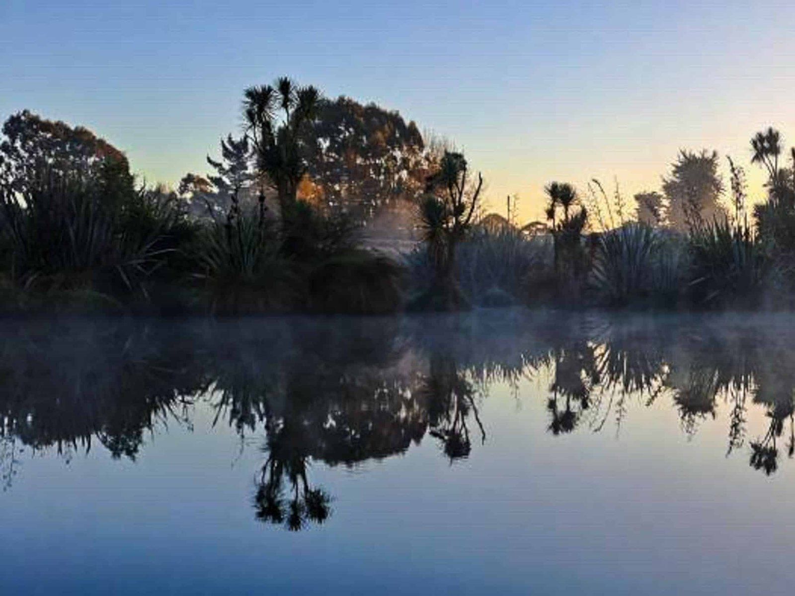
Largely due to their efforts, there is a range of restoration and recreation sites along the river. These include Styx Mill Conservation Reserve, Styx River Esplanade Reserve, Styx River Reserve, Janet Stewart Reserve, and then around Brooklands Lagoon at the mouth of the River. Their photos are a testament to the progress to date!
Several road access points along the river, from west to east, are Styx Mill Road, Willowview Drive, Radcliff Road, and Lower Styx Road.
Photo credits @styxlivinglab.