French Pass is a unique remote place on the far northwest tip of the Marlborough Sounds. It can be accessed by road from State Highway 6 immediately north of Rai Valley. It is a windy, sometimes spectacular 60 km drive, which will take about 90 minutes.
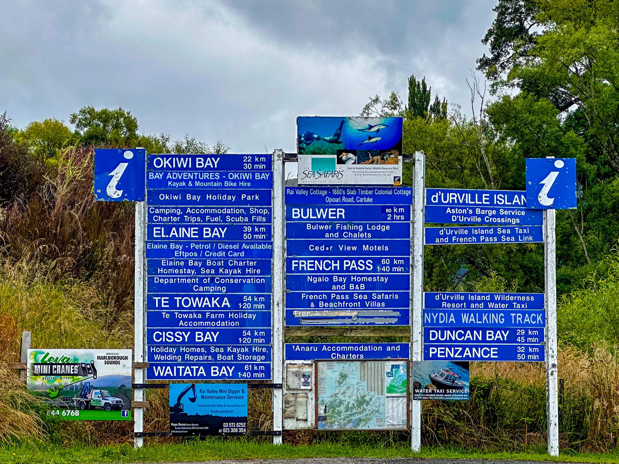
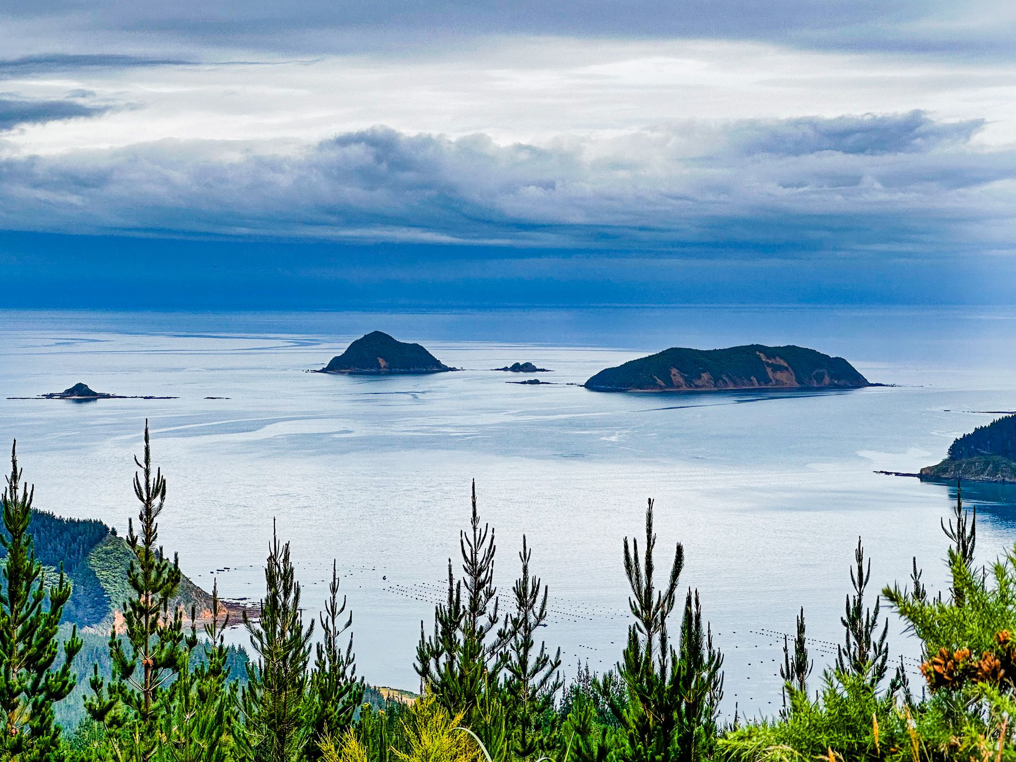
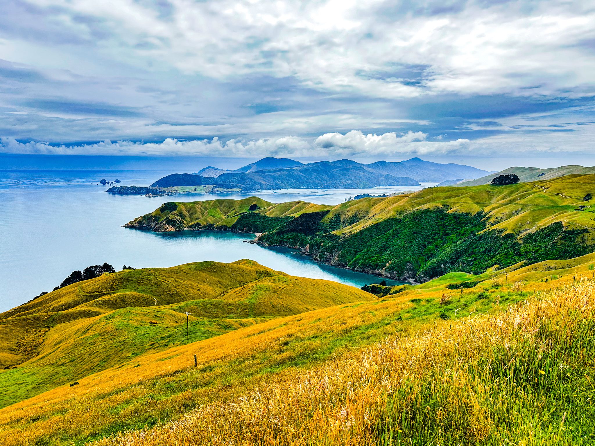
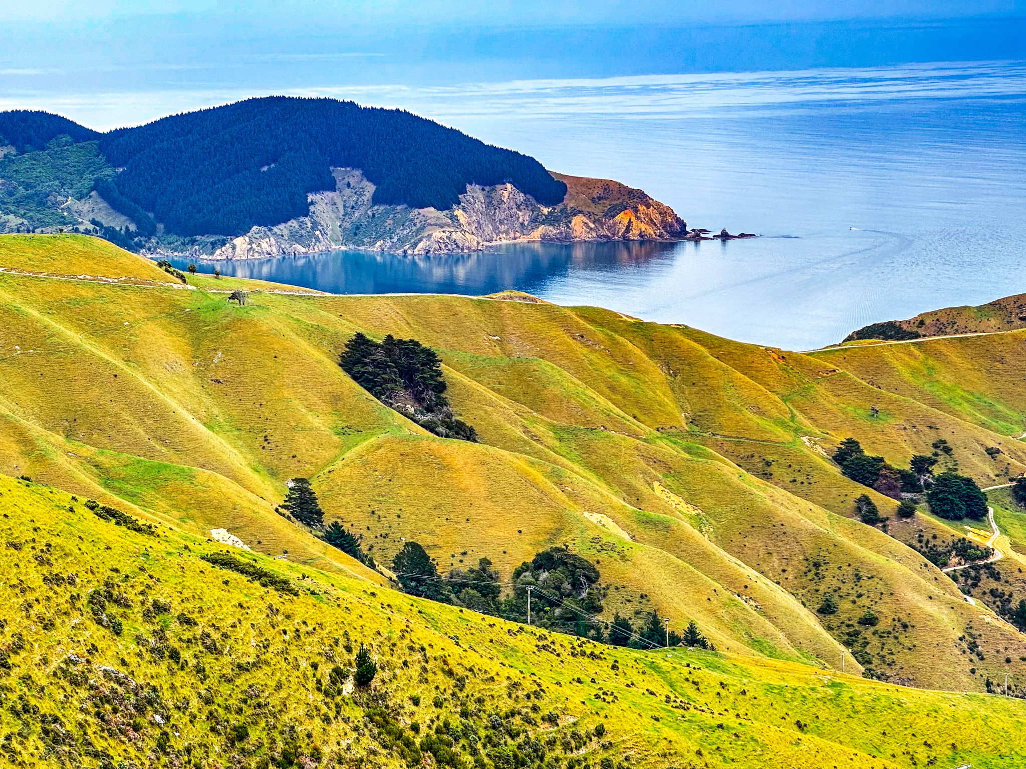
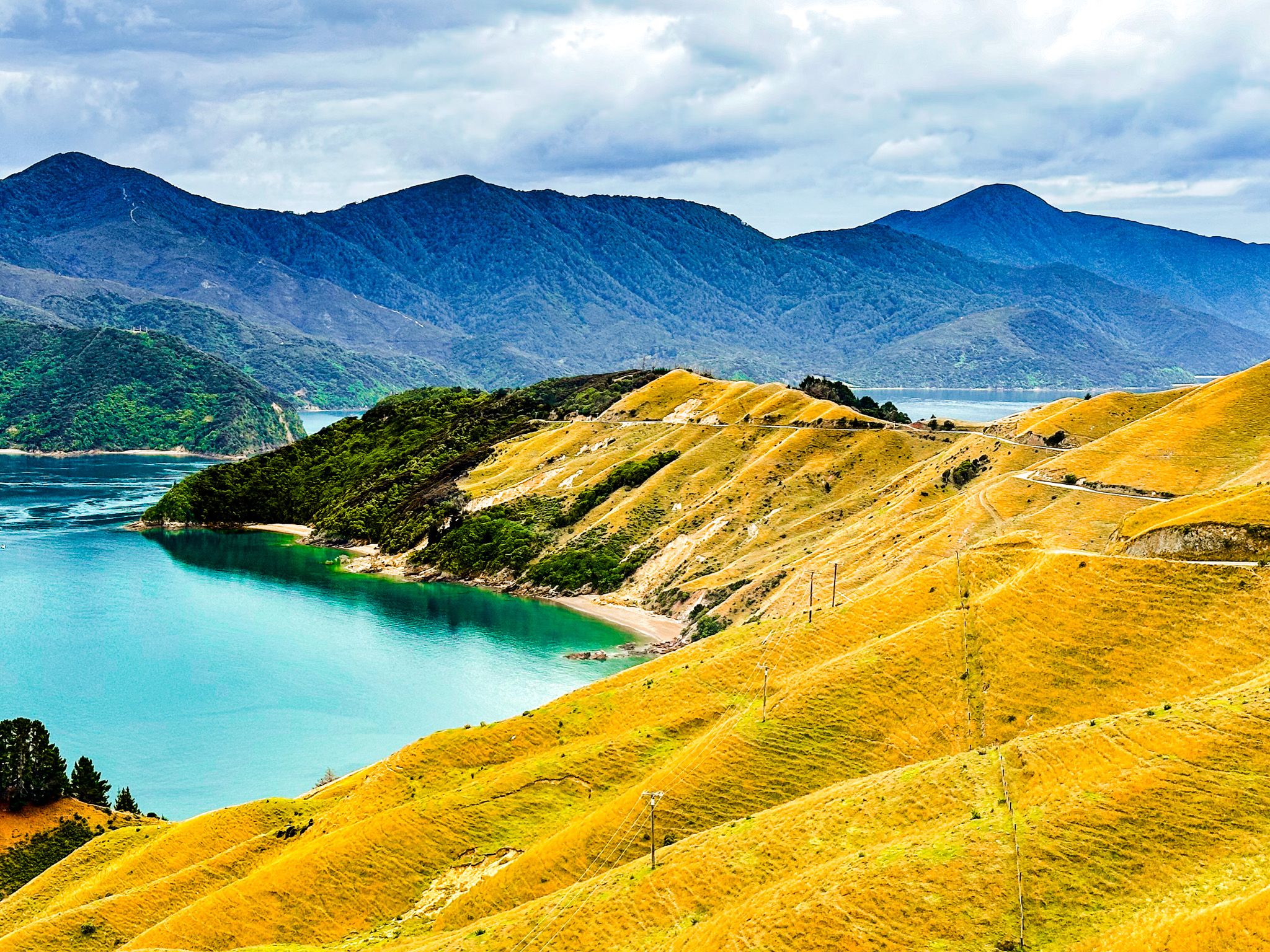
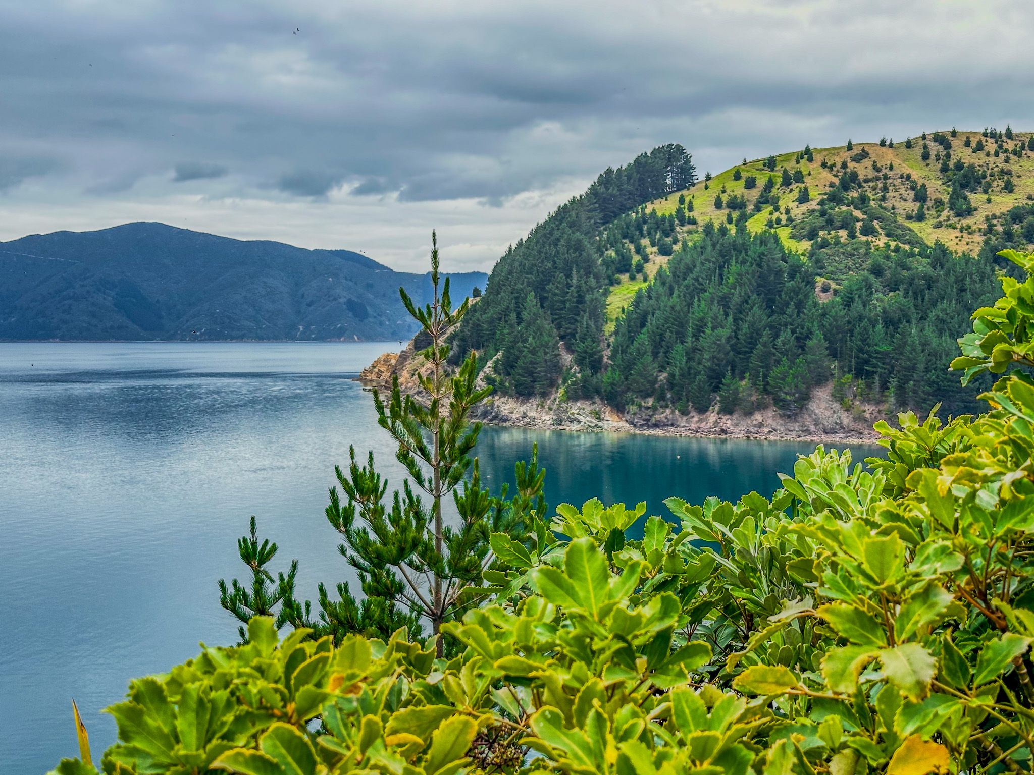
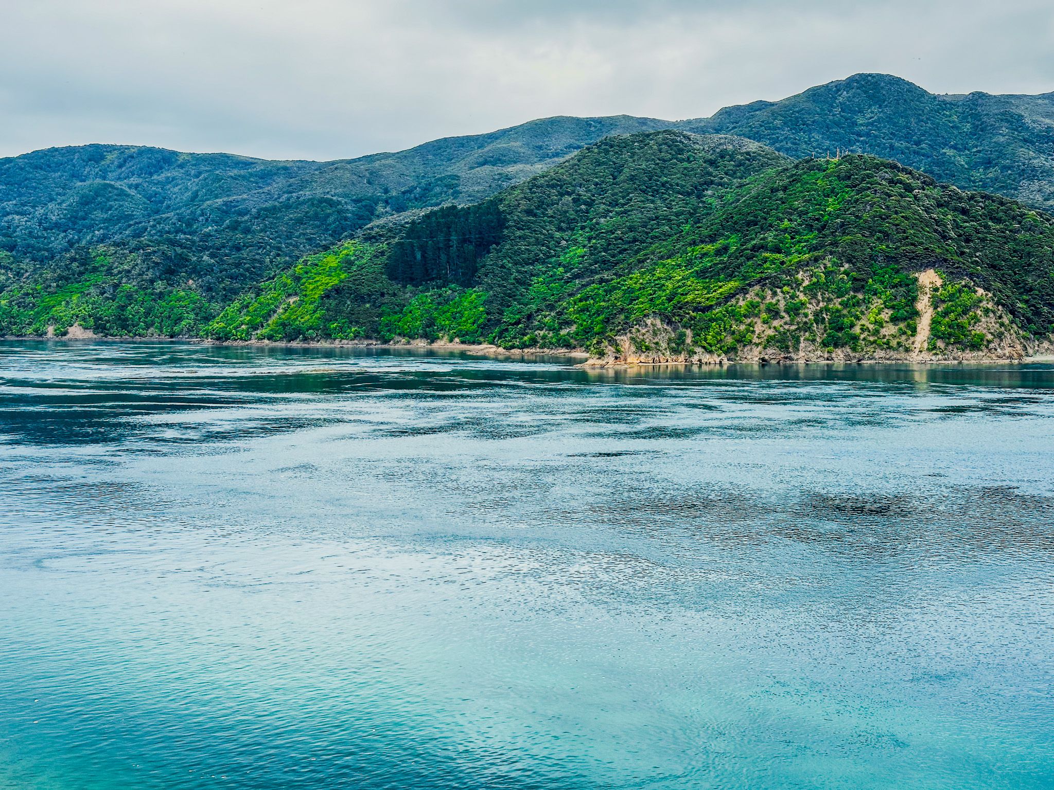
The drive starts with a turnoff from the main highway onto Rongo Road. Immediately to your right is one of NZ's largest collections of road signs. This seems odd, given the few places you can get to! Rongo Road heads north up a farmed valley and then becomes Croisilles Road as it winds through regenerating native forest, over 300 metres high Ronga Saddle, and down to Okiwi Bay. This provides beach access and a campsite. The road then becomes Croisilles French Pass Road. It climbs back up to 300 metres and is continuously windy. The road is mostly shrouded in regenerating forest with some pine plantations. One section provides spectacular views to the west over Croisilles Harbour and Squally Cove. The French explorer Dumont D'Urville named the harbour around 1820 after his mother's home village of Croisilles, Calvados.
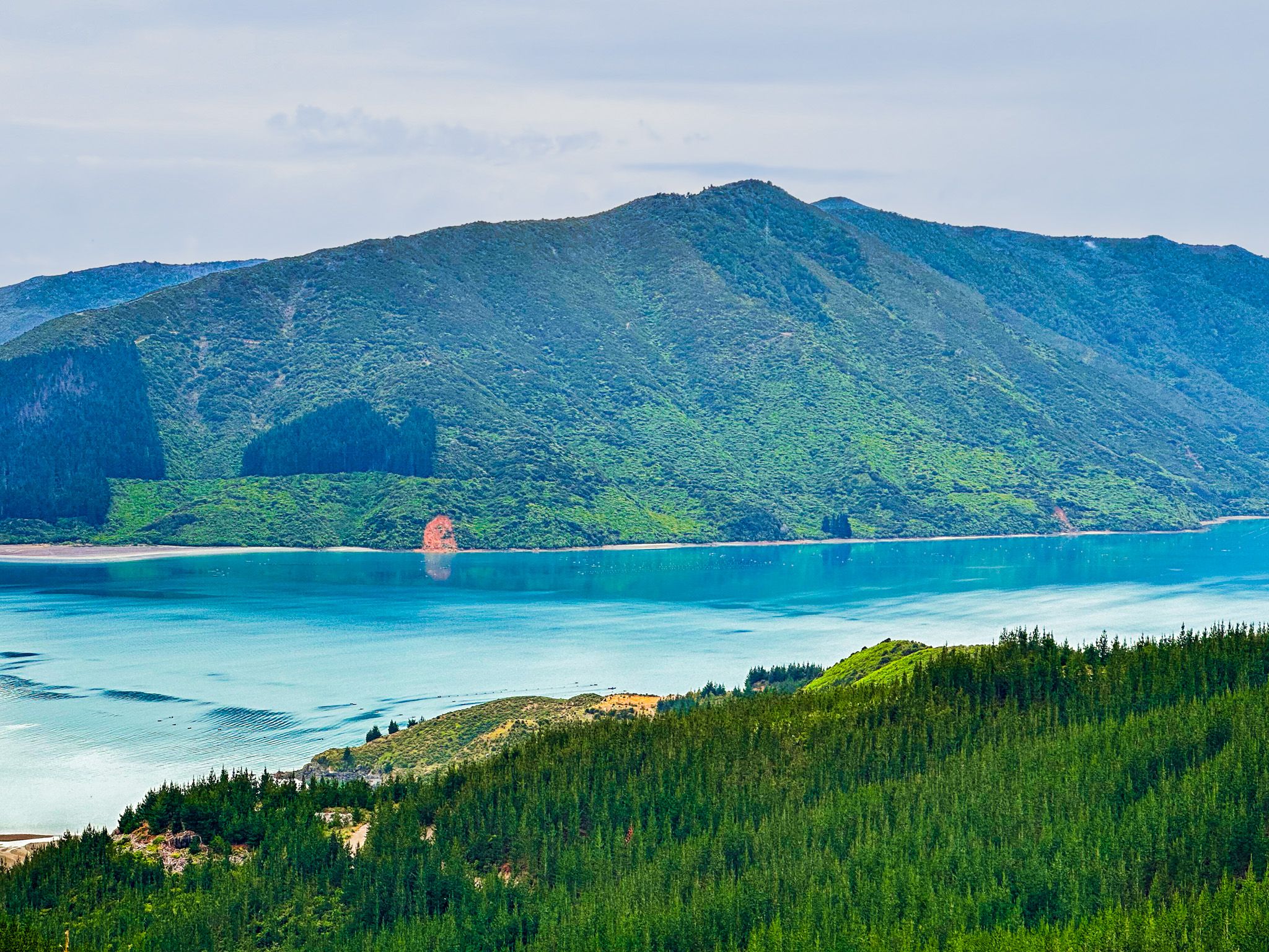
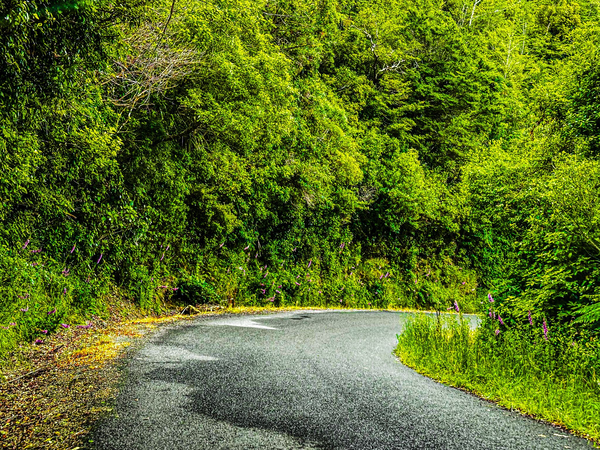
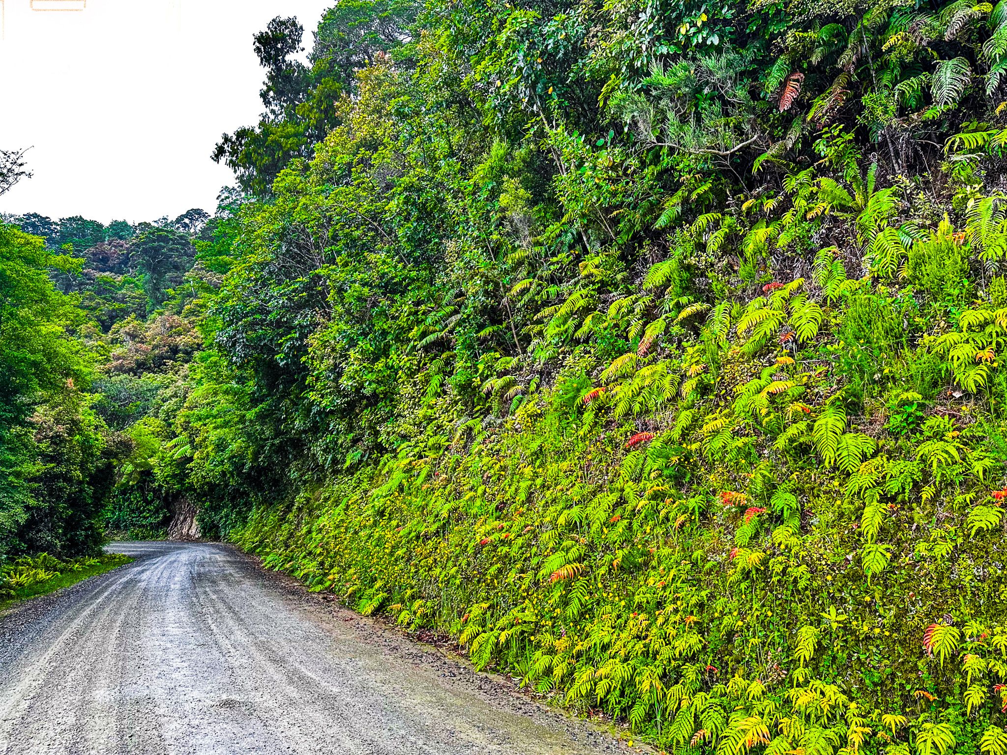
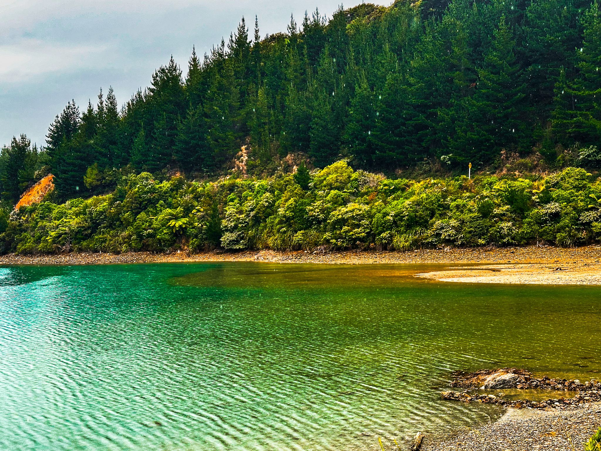
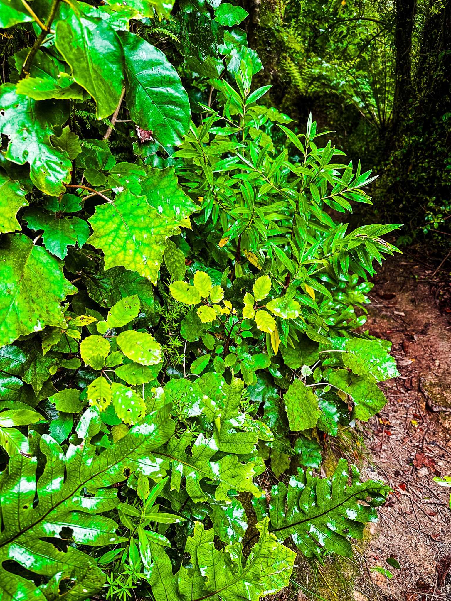
As the road approaches the end of Squally Cove, there is a side road to Elaine Bay in Tennyson Inlet with a beach and campsite. This is also the end of the sealed section, but not the windiness! The road continues high up in the forest for another 12 km. It is a lovely drive with plant growth right up to the road edge. There is also a signposted spectacular roadside view of Tawhitinui Reach to the east.
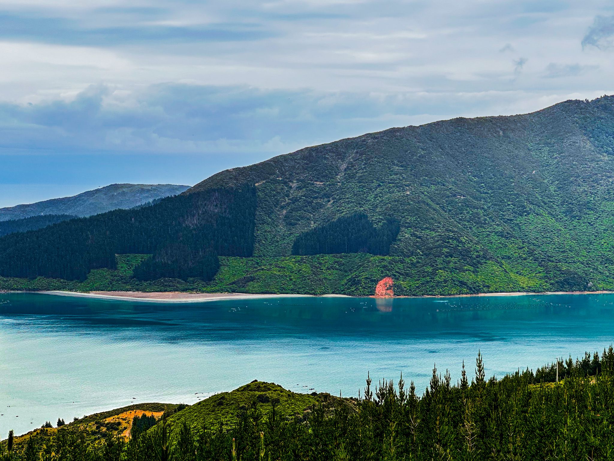
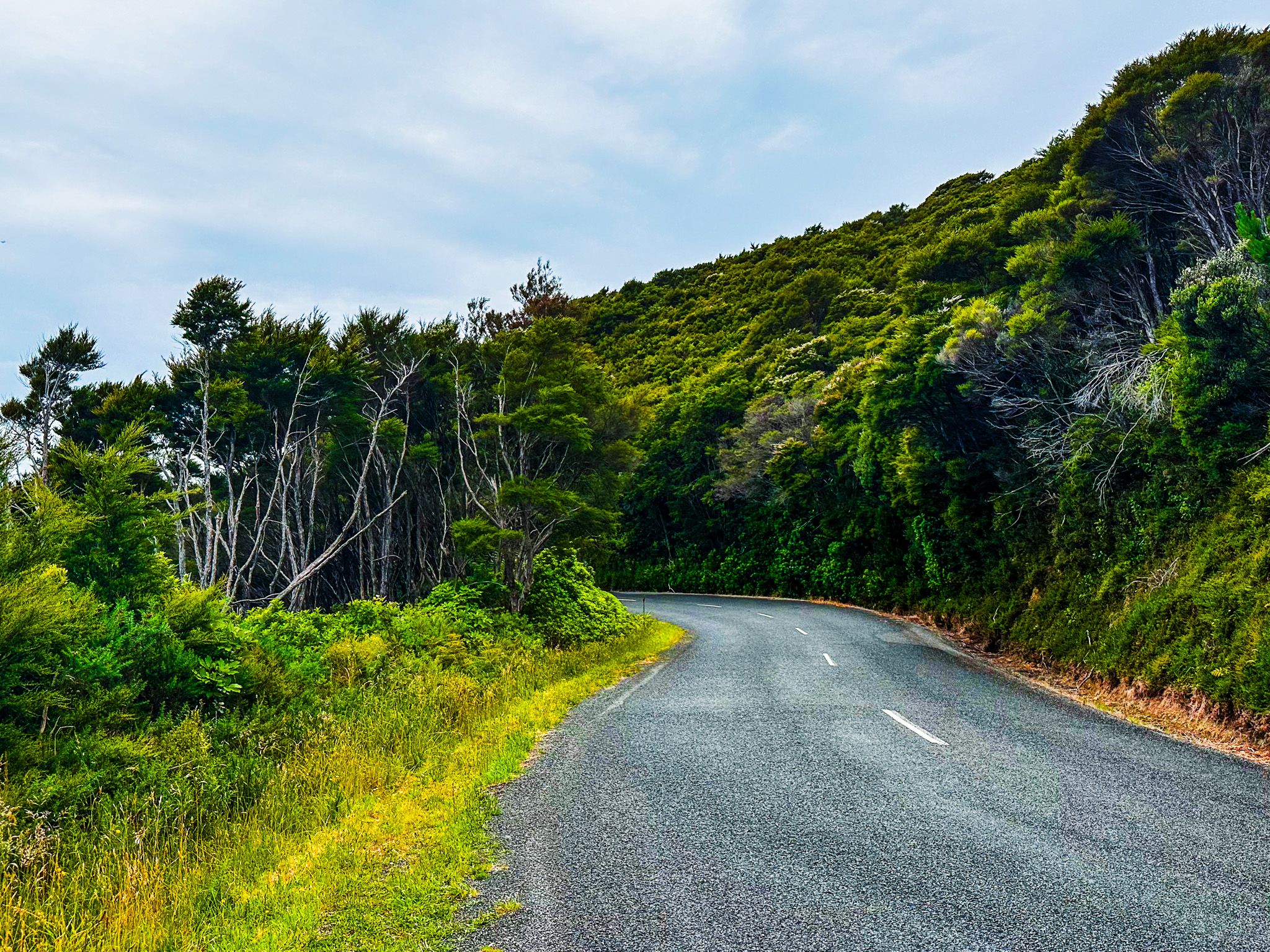
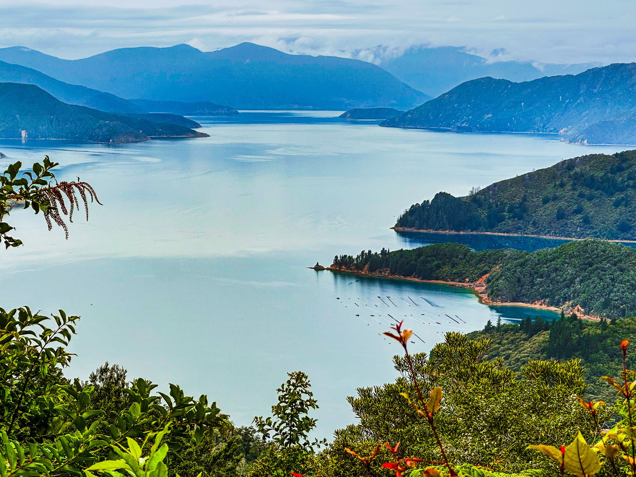
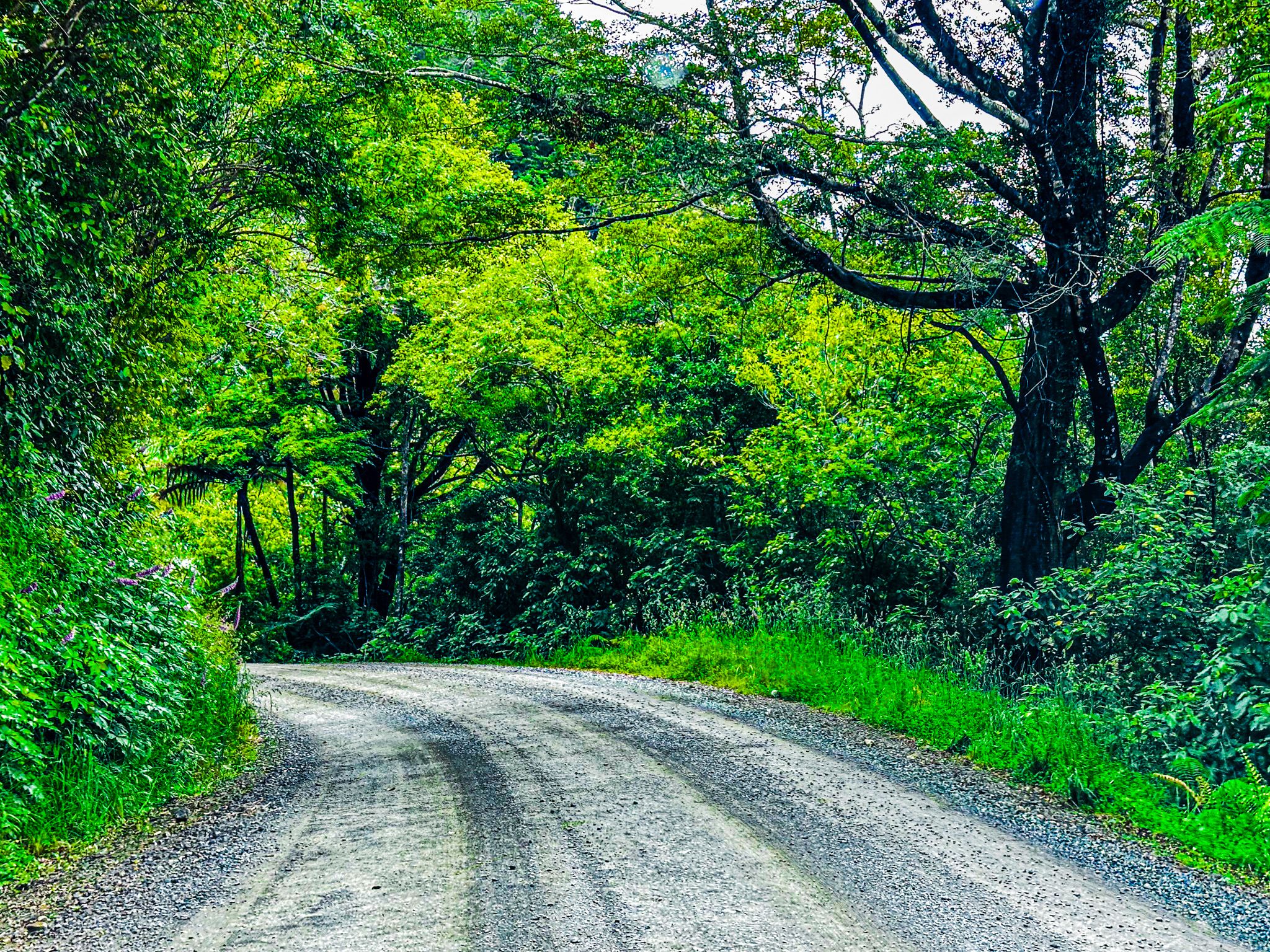
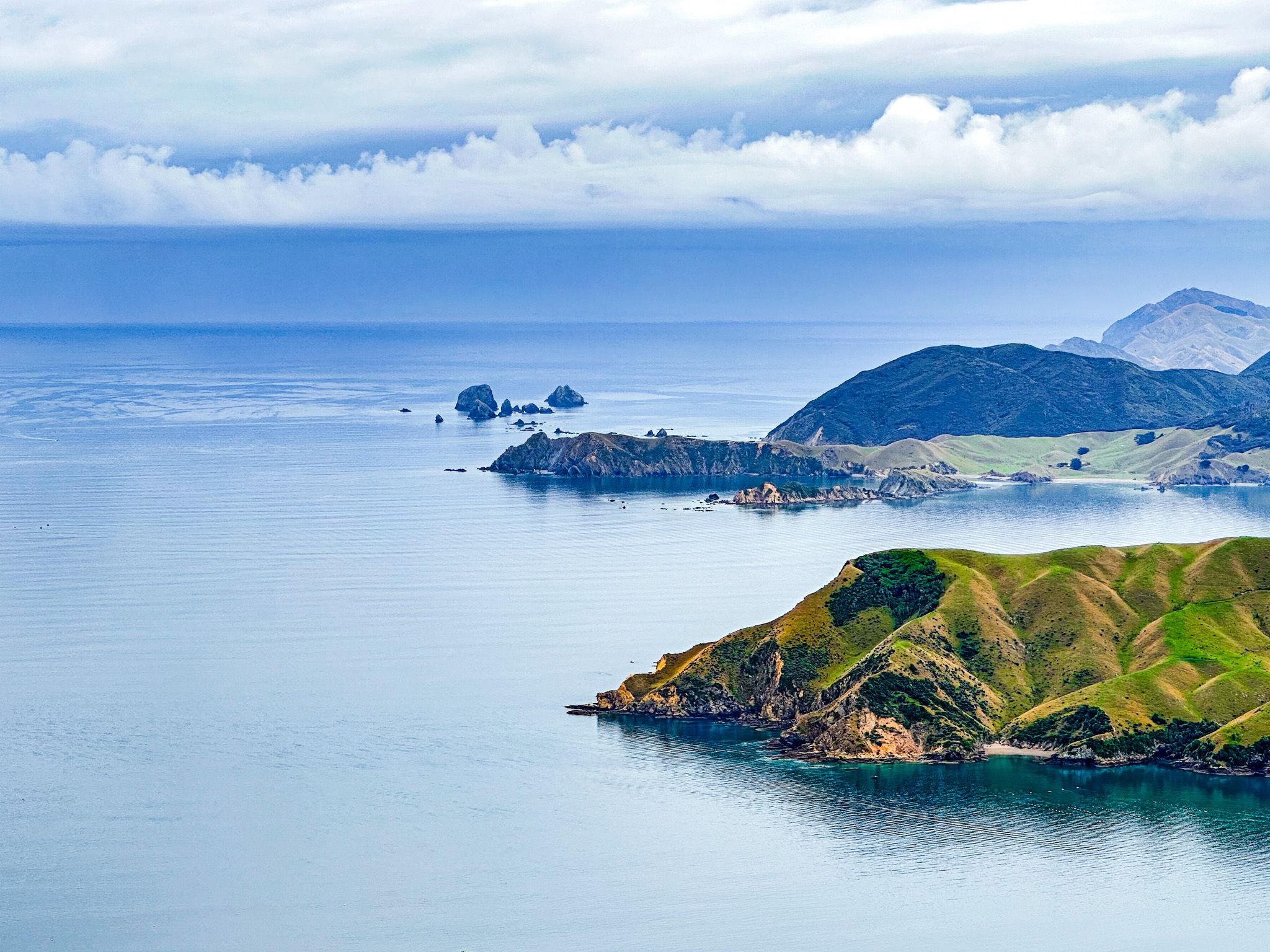
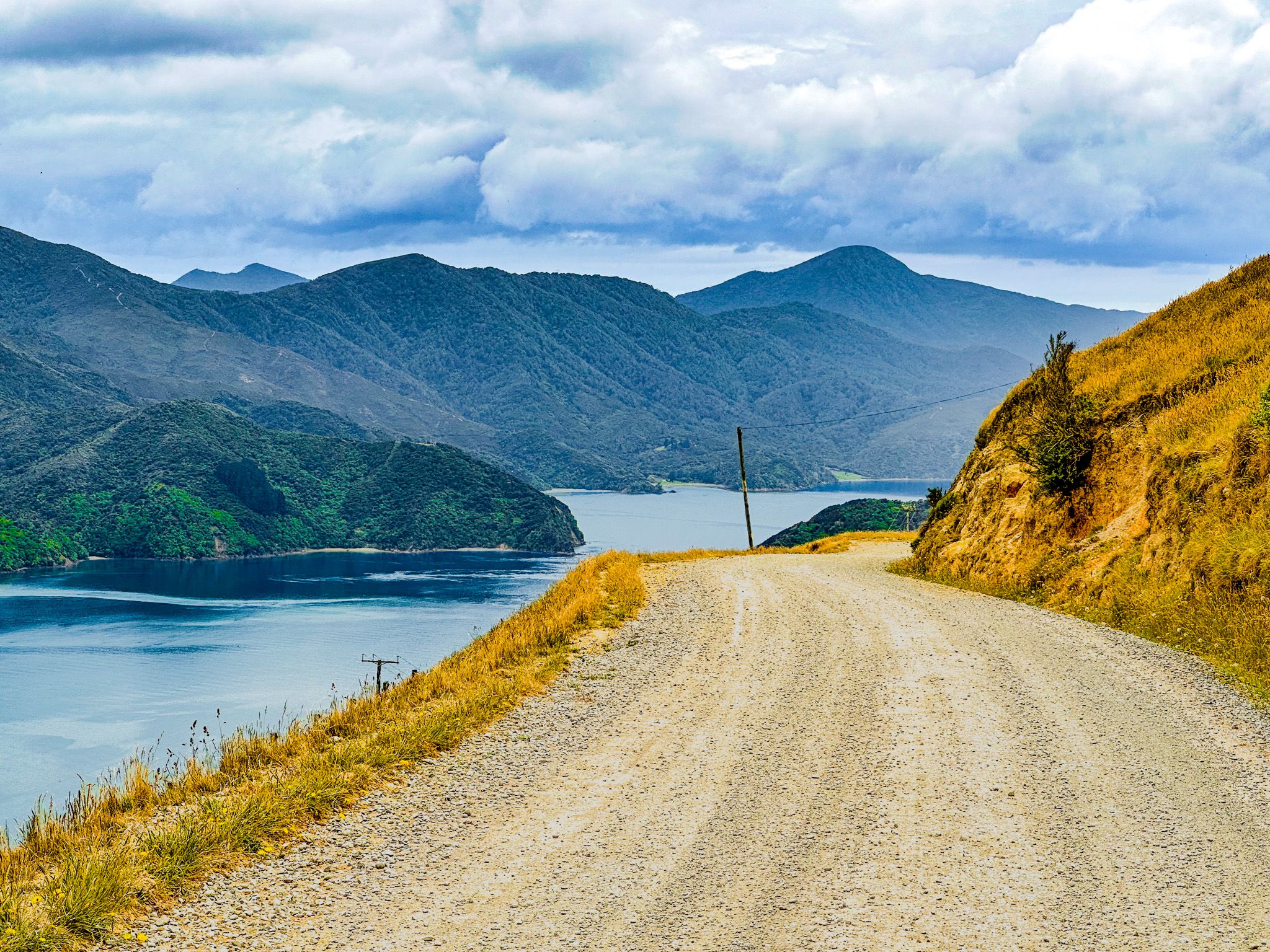
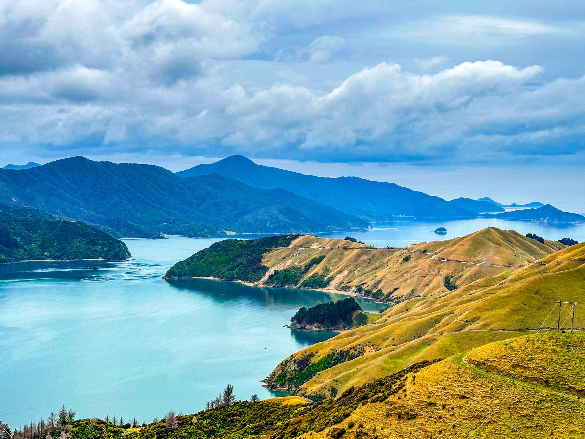
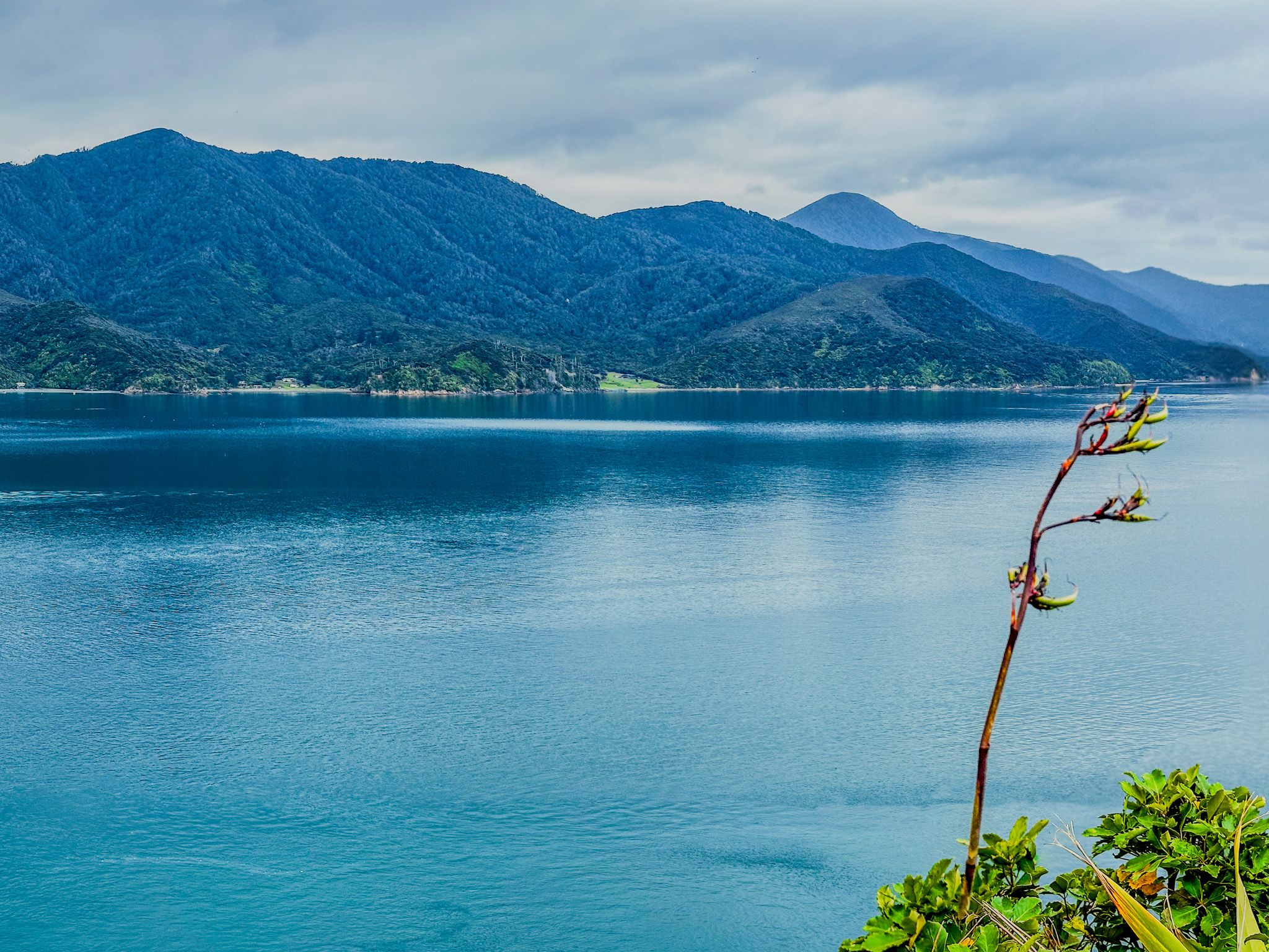
The last 14 km to French Pass is across steep open farmland, providing one of NZ's most spectacular coastal roads. This section of Croisilles French Pass Road more or less follows the ridge at around 400 metres above the coast. It is less windy but gravelled with some blind corners and narrow in places. Admiralty Bay is on the east side, and Tasman Bay is to the west, with great views in both directions.
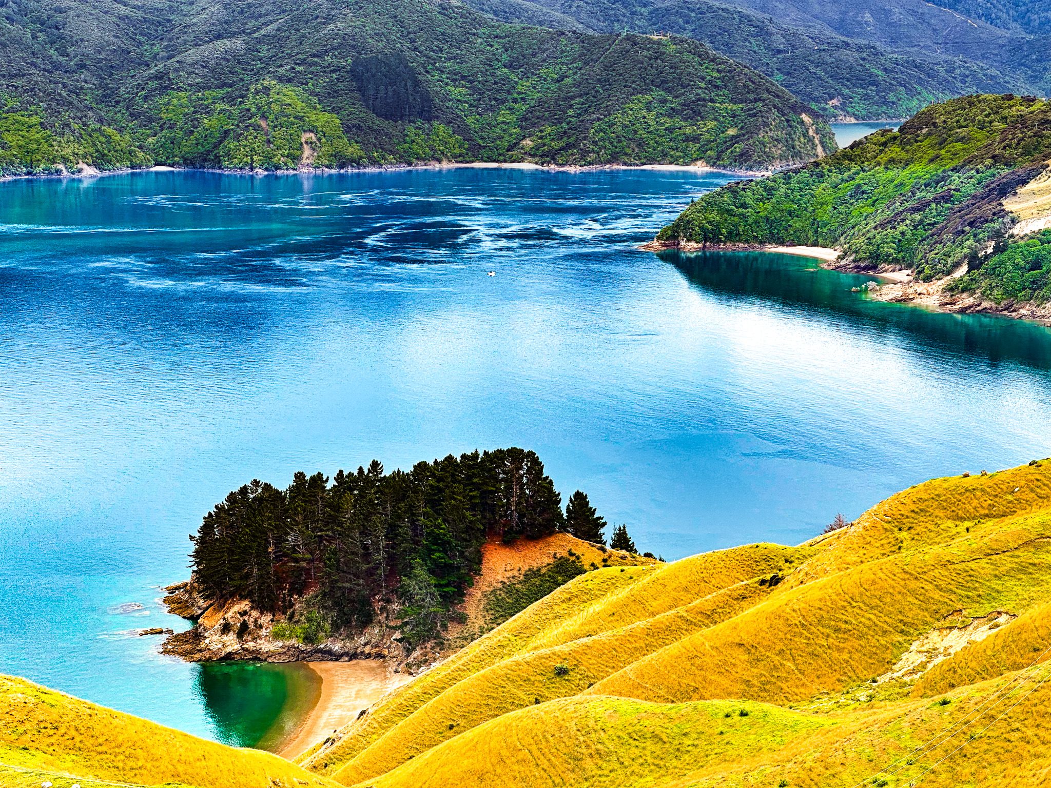
As you drive north, the road drops below the ridge on the west side, with fabulous open views of Rangitoto ki te Tonga / D’Urville Island. The road runs high above Current Basin, the stretch of water between the island's southern end and the coast. Very narrow Te Aumiti / French Pass between D”Urville Island and Channel Point comes into view before the road sweeps around the point.
There is a short track to French Pass Lookout (with room for a few cars) on the point, then a second viewpoint with more space a bit further to the east at Collinent Pont. The two viewpoints provide quite different perspectives of the pass and D’Urville Island. The road then drops down to the beach and hamlet, French Pass / Anaru, with a campsite by the beach at the end of the road.
You can also get a ferry to D’Urville Island. It will take 4WD vehicles as well as walkers and cyclists.
Ōkiwi Bay
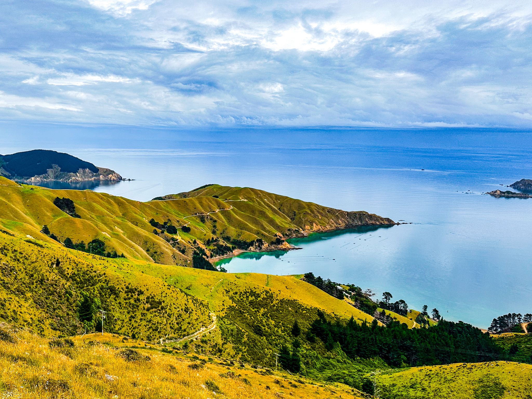
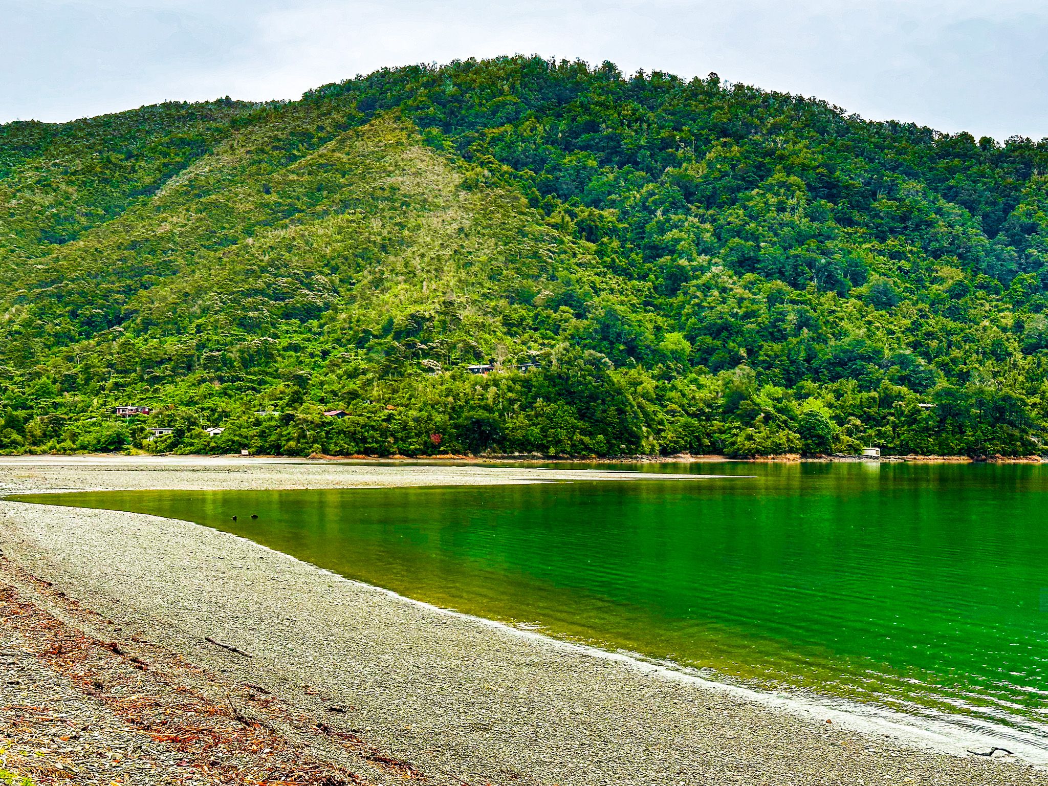
Ōkiwi Bay is the first of three small beach and holiday hamlets accessed from the road that links State Highway 6 to French Pass. It is 23 km along Rongo Road, then Croisilles Road and takes about 30 minutes to drive.
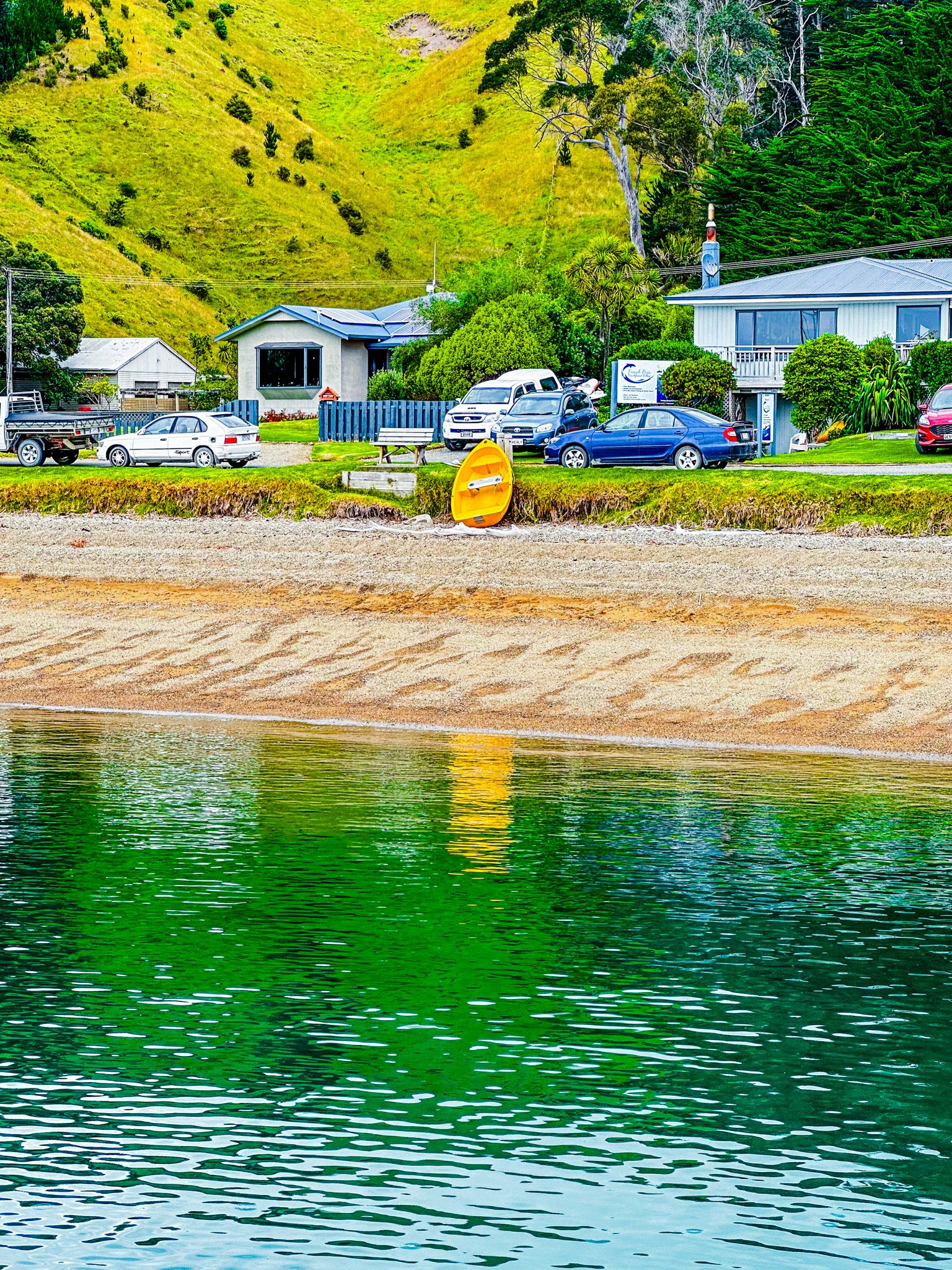
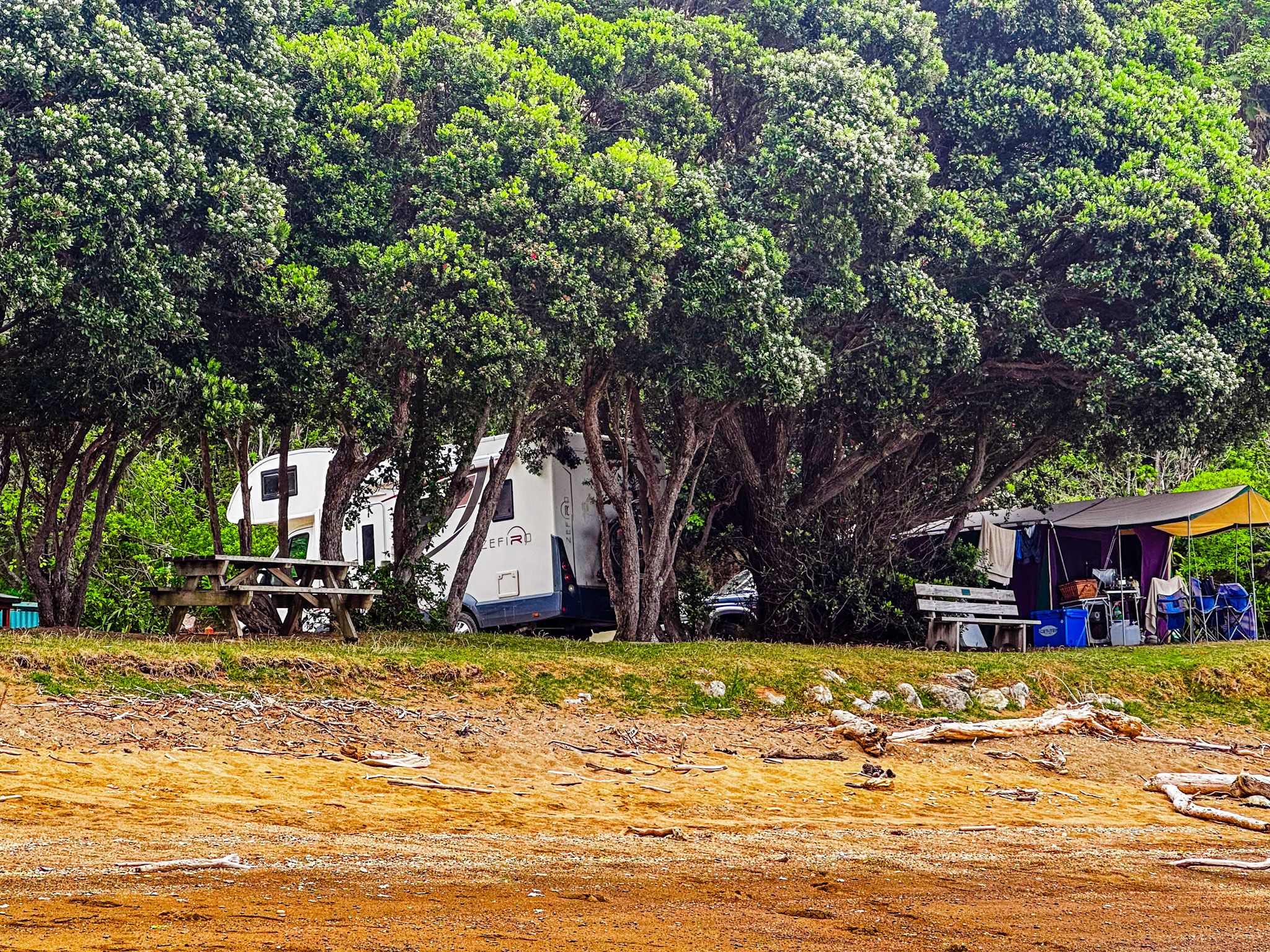
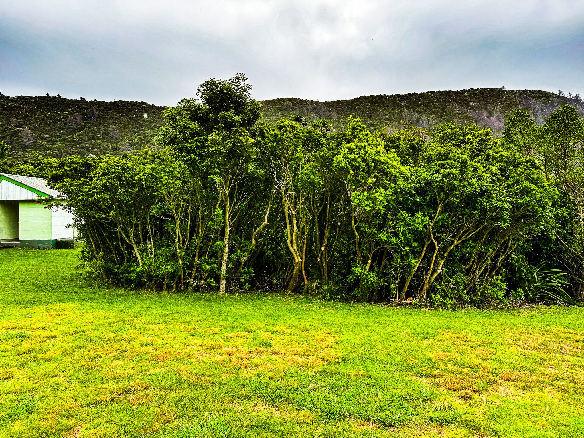
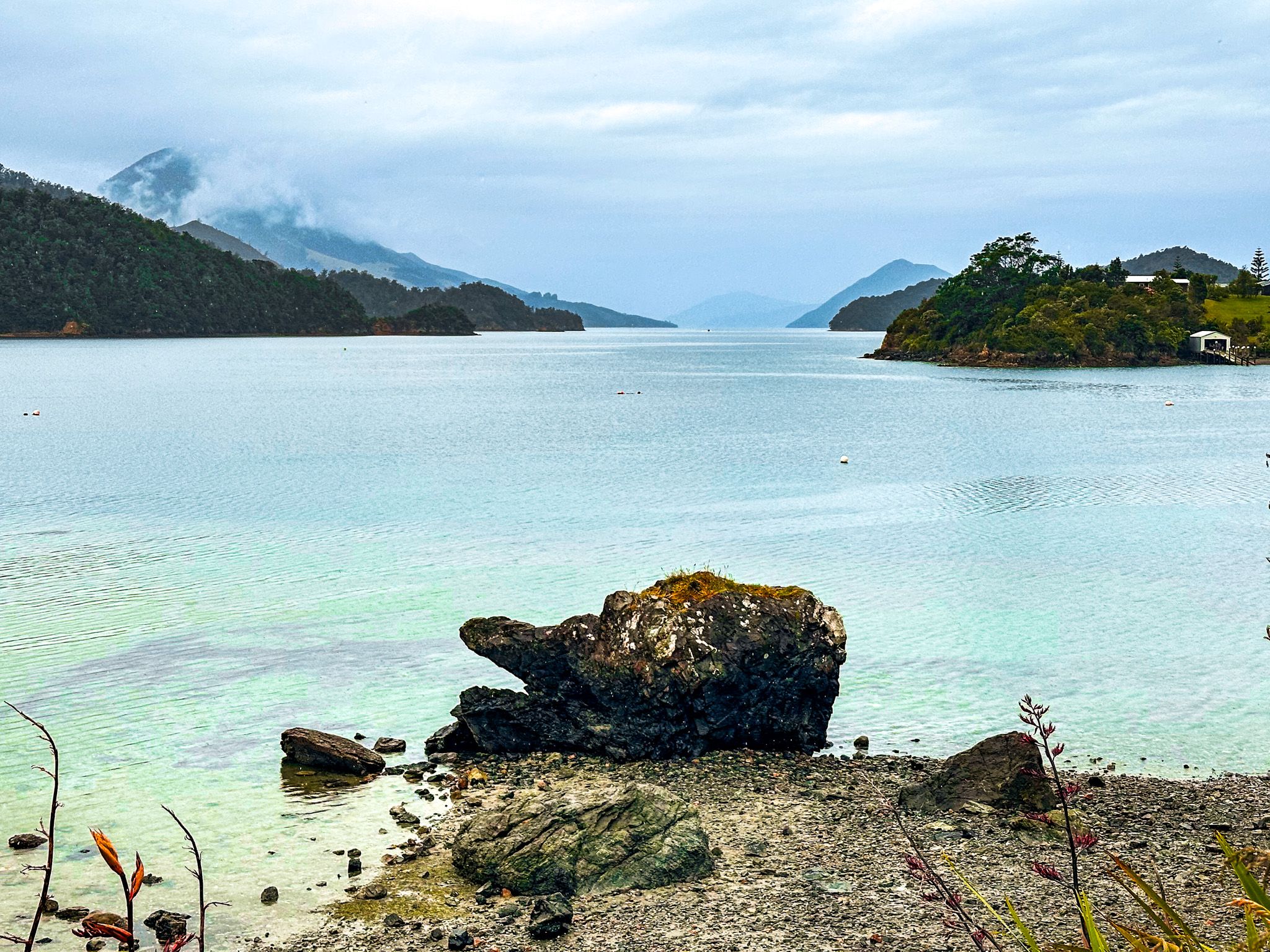
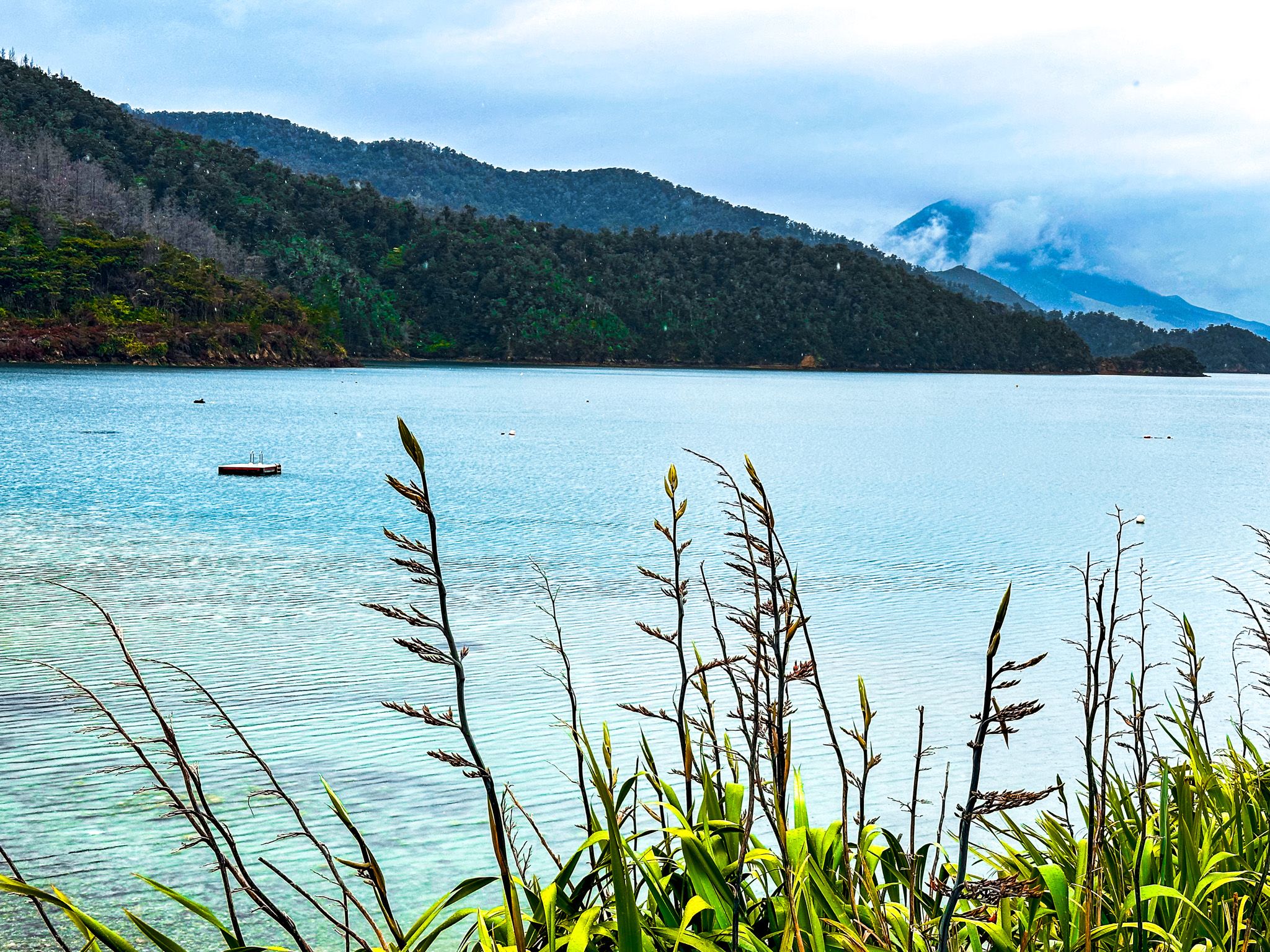
The bay is an inlet from Croisilles Harbour, which, in turn, connects to Tasman Bay / Te Tai-o-Aorere. There are only 80 permanent residents, but there is a commercial campsite, and the population expands significantly during holidays. The beach is attractive and provides safe swimming and easy boat access.
The name means "place of the kiwi" and predates European settlement. Post Treaty of Waitangi, Ngāti Koata iwi’s main settlement was at Whangarae, a bay northwest of Ōkiwi on the other side of Goat Hill. Otherwise, the forest-clad area only became accessible with the opening of a sawmill in the 1890s and the leasing of 3,200 acres of Maori land to supply lumber. This resulted in a track to the Rai Valley in 1895, and by 1904, the bay was a holiday destination.
The bay is also known for the discovery of a unique patu in 1957. The style was similar to those from the Chatham Islands, east of Canterbury, resembling a European mace, but is considered to be of local origin.
Elaine Bay
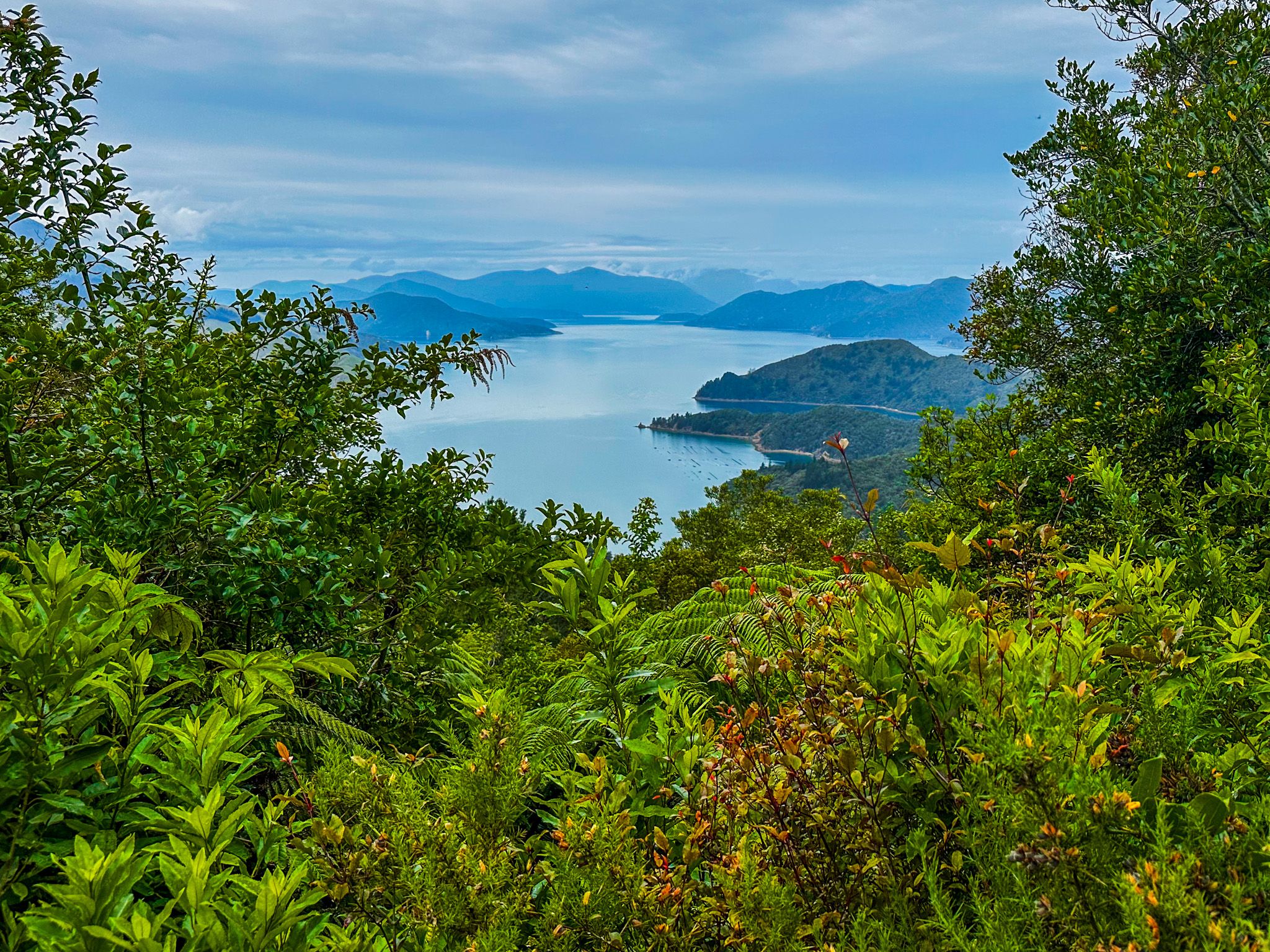
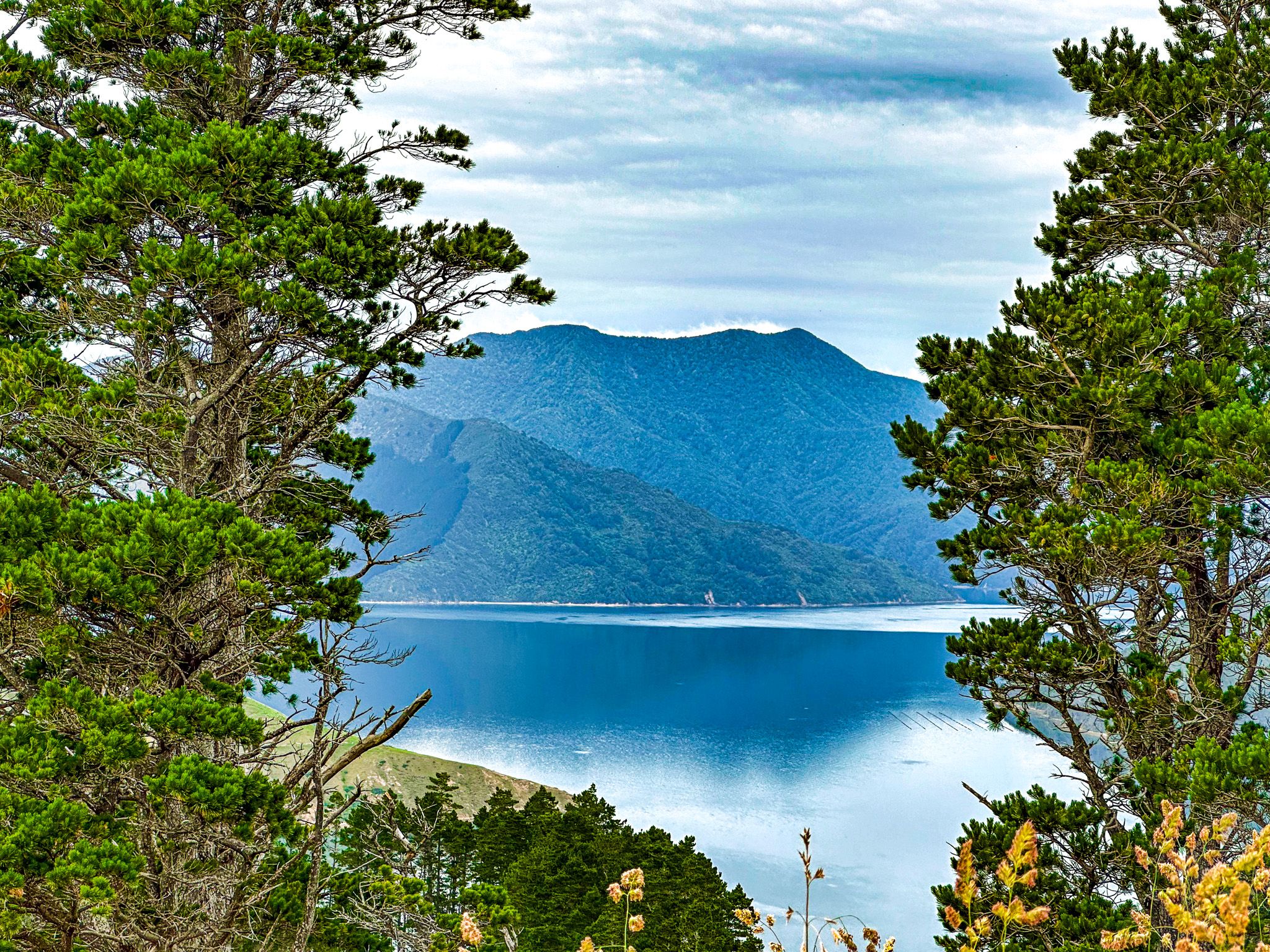
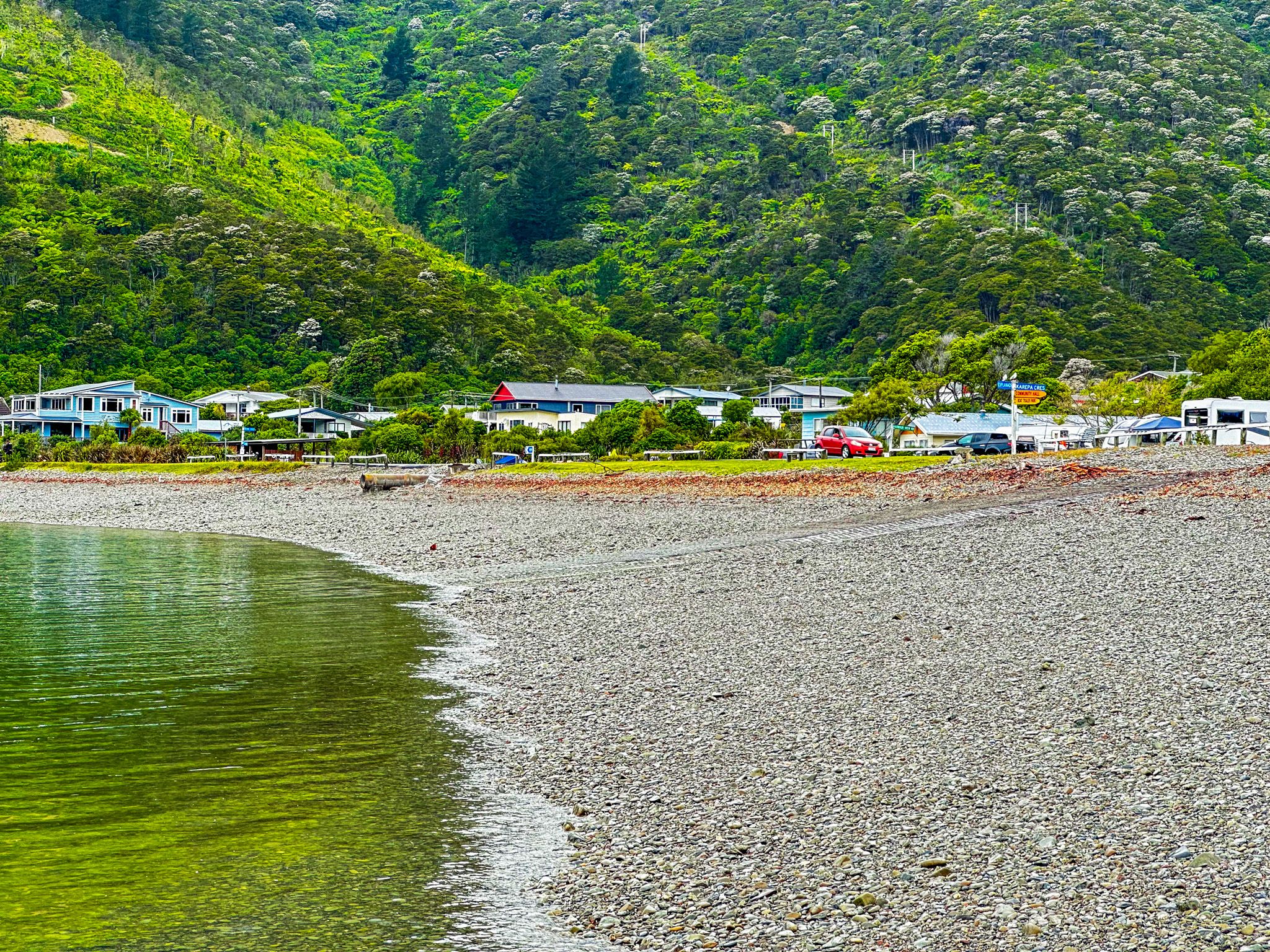
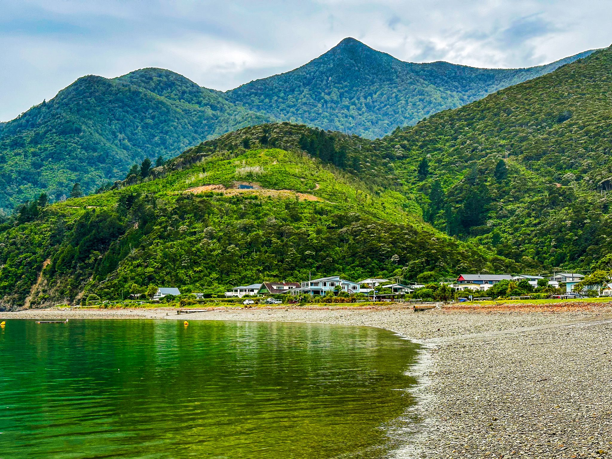
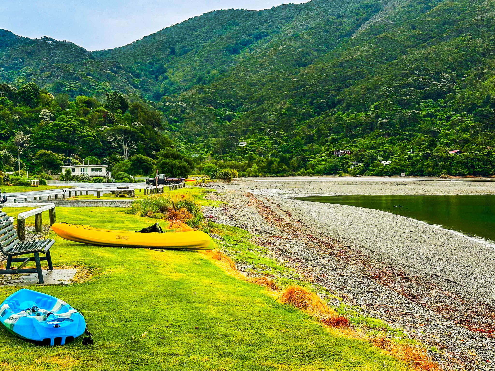
Elaine Bay is a small, pretty bay accessed from the road to French Pass, 42 km and a 1-hour drive from State Highway 6. It is at the north end of Tennyson Inlet, which connects to Tahiti Reach and then Pelorus Sound / Te Hoiere in the Marlborough Sounds.
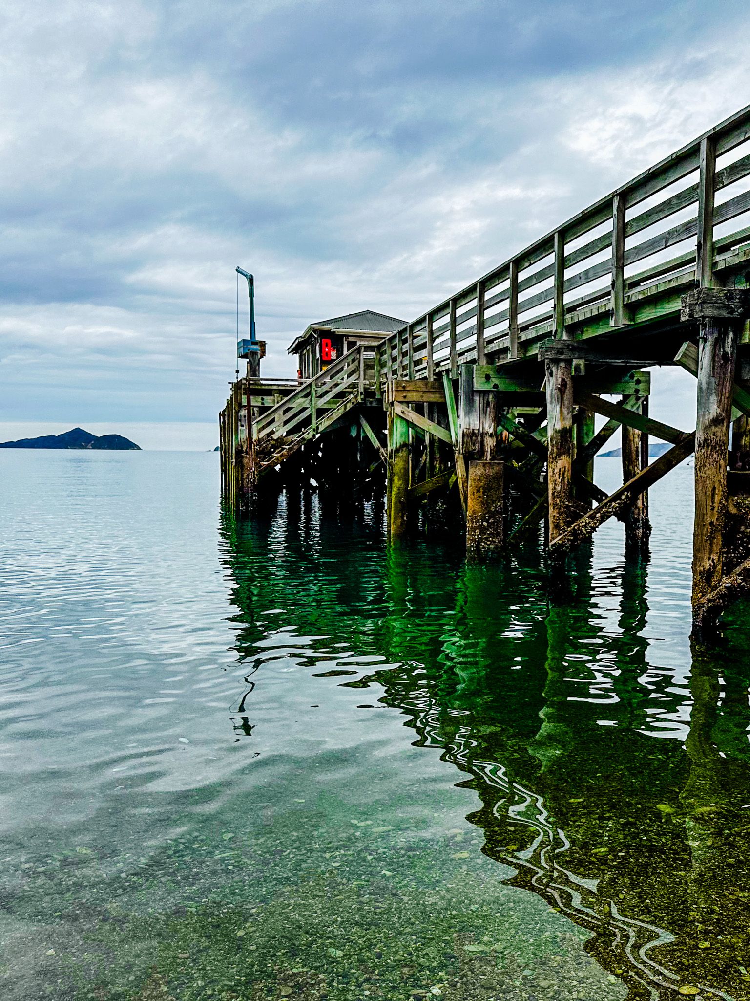
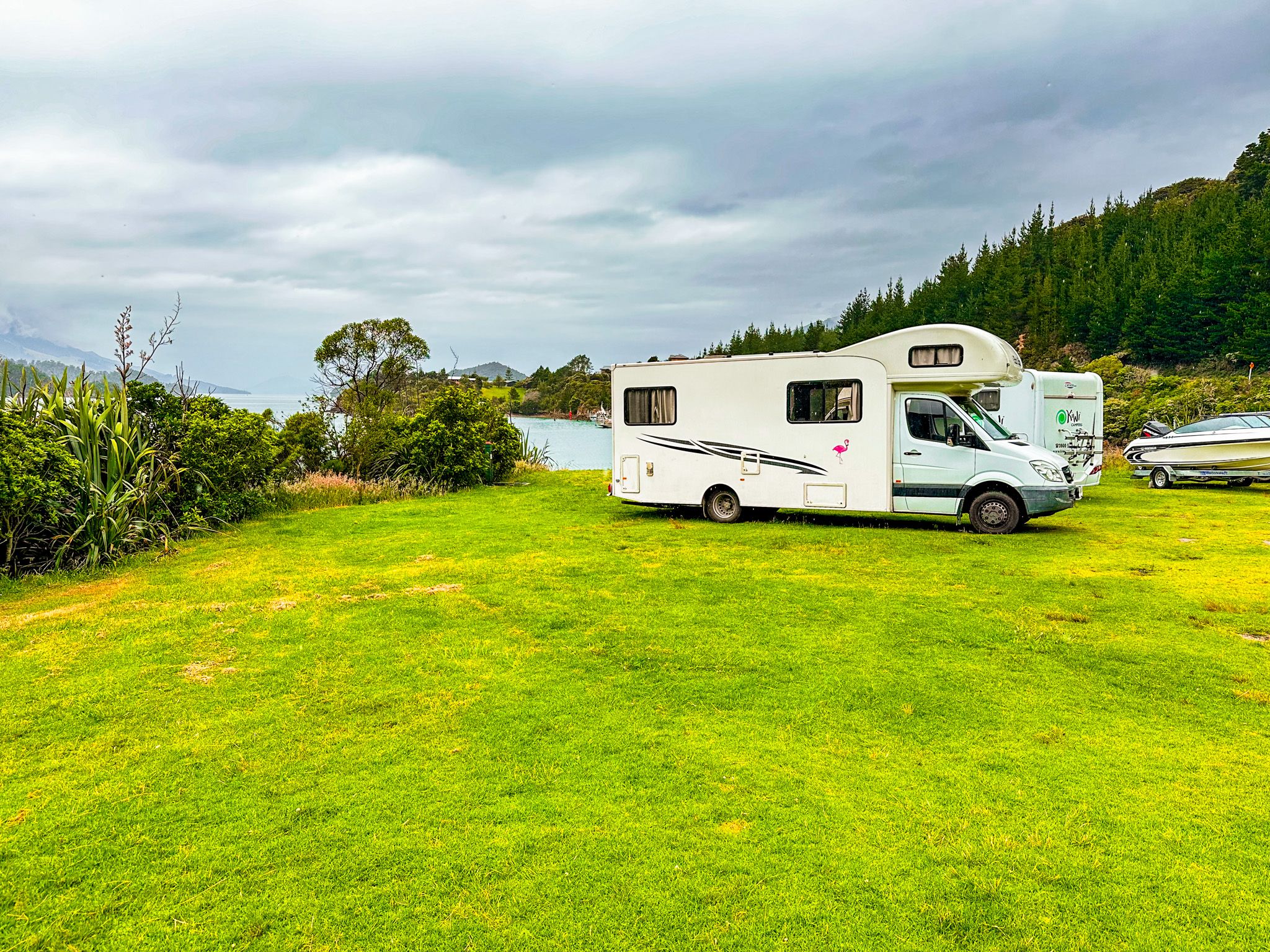
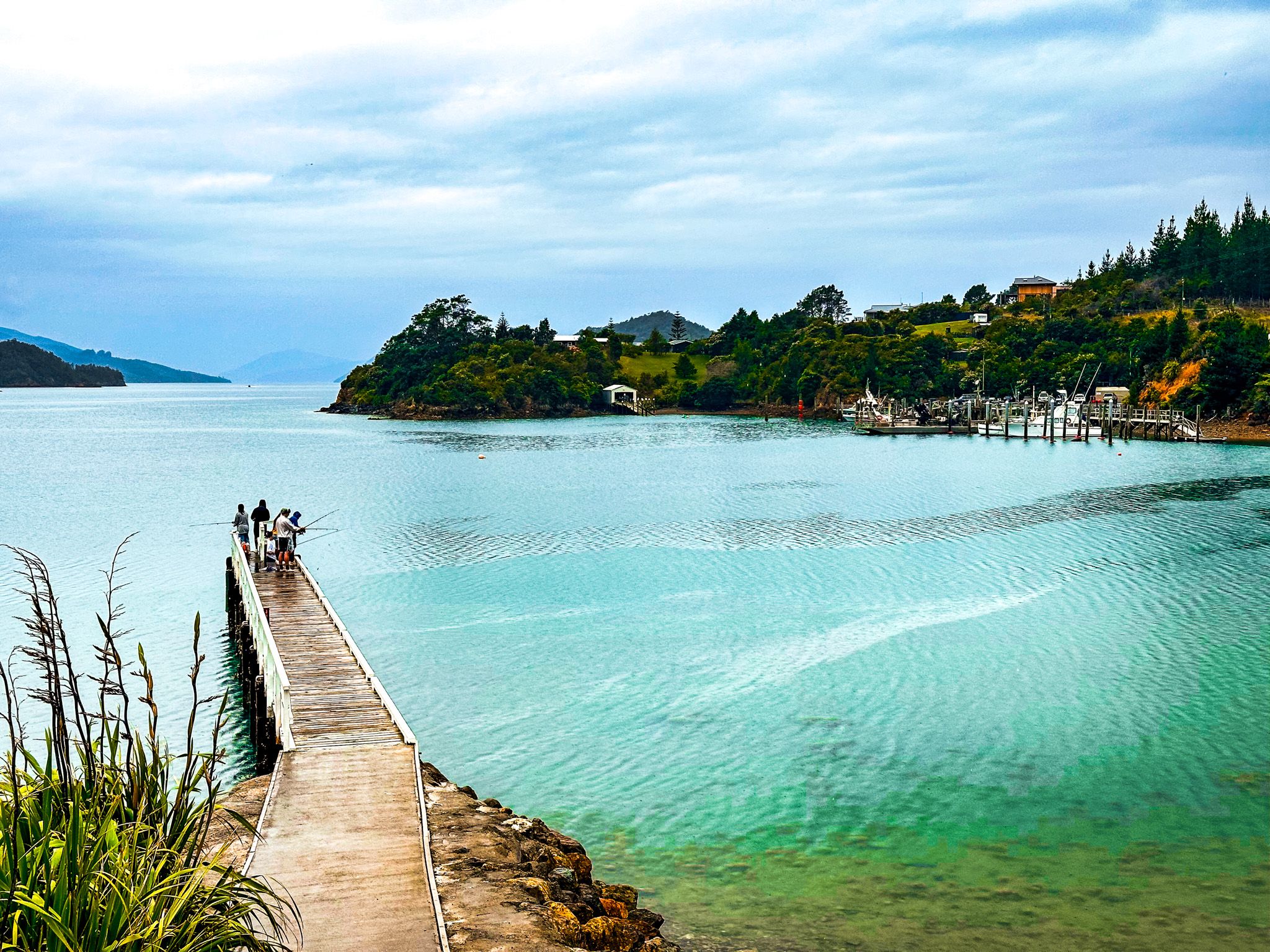
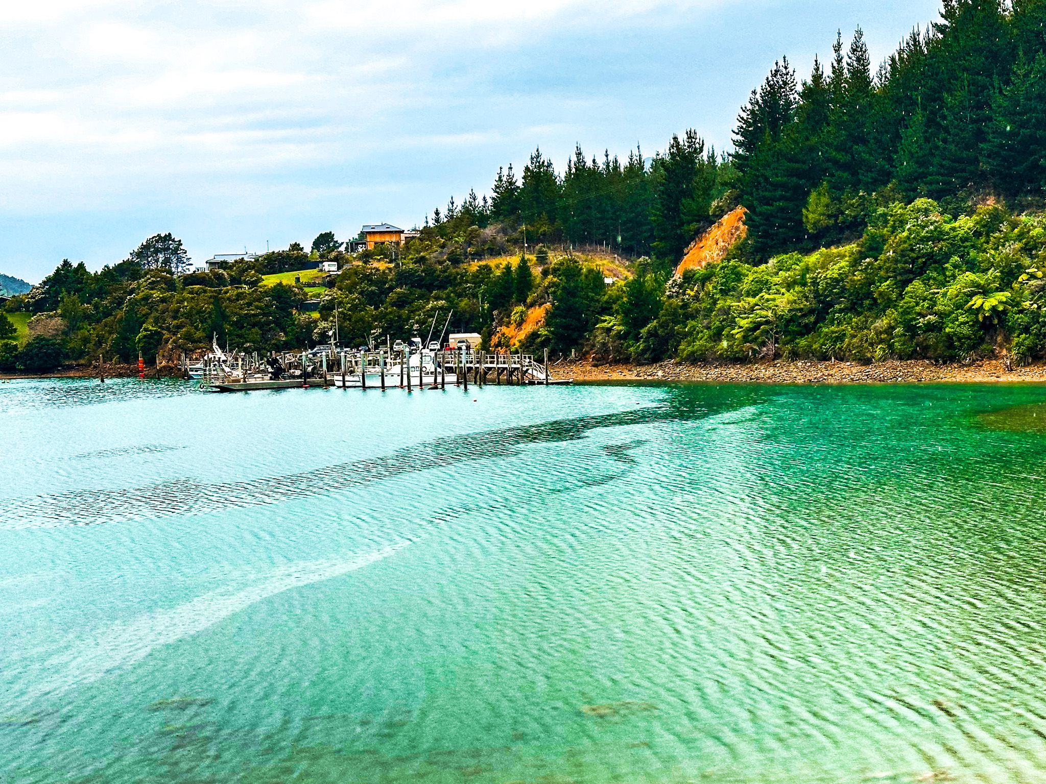
A pretty beach and DOC campsite are on the water's edge. The beach in Elaine Bay is mostly stony but is still popular for swimming and kayaking, with access to the water from wharves and a swimming platform. The local aquaculture business, Elaine Bay Aquaculture (greenlip mussels), provides these. The bay is particularly rich in fish, which adds to its popularity with boaters.
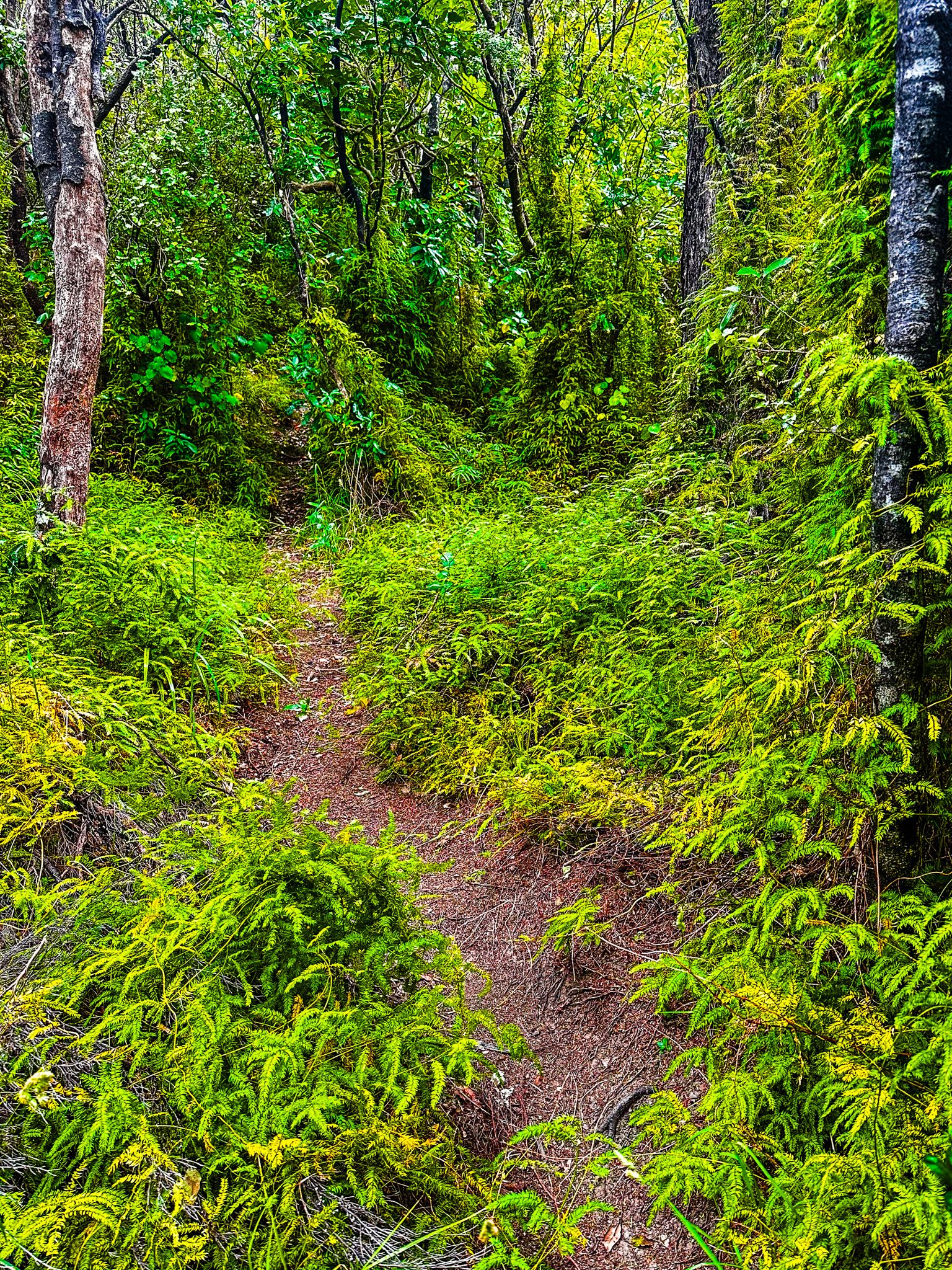
There are also two walking tracks. The easy 45-minute Piwakawaka Track goes north to the next bay with a golden sand beach with no apparent formal name. The Archer Track starts at the bay's east end and follows Tennyson Inlet's coastline for 2 hours to Penzance Bay. The first section of the track goes through an exotic pine forest around Red Point, which changes to a native forest for most of the walk. Penzance Bay is also accessible from State Highway 6 via Opouri Road.
French Pass Lookout
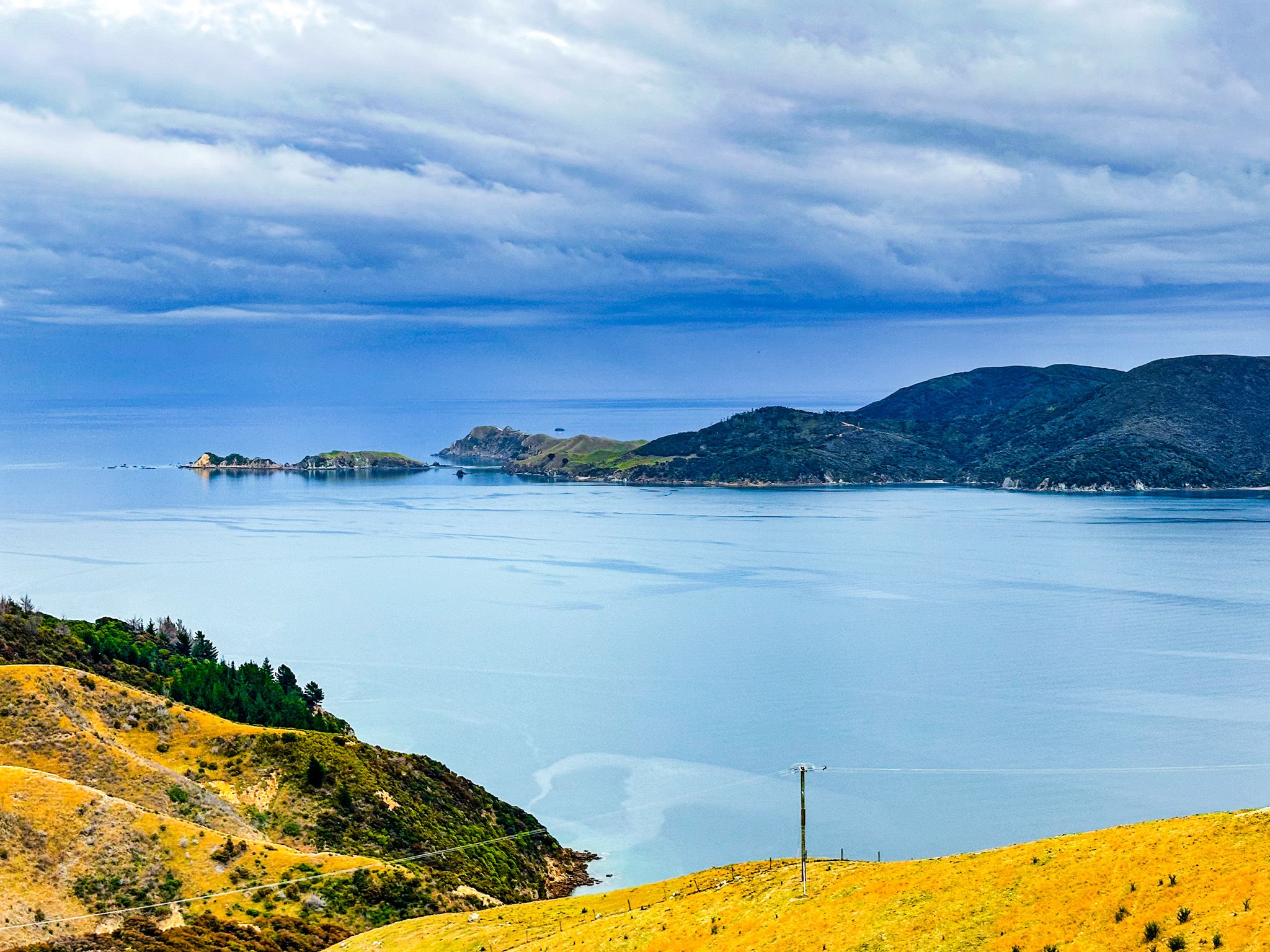
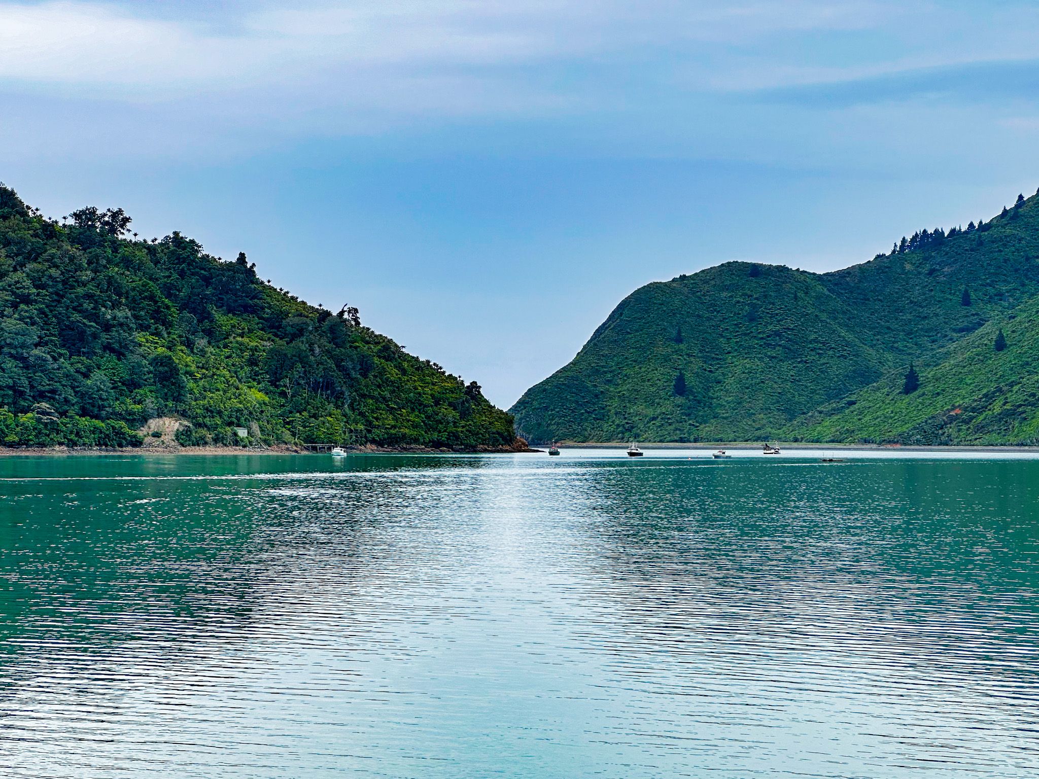
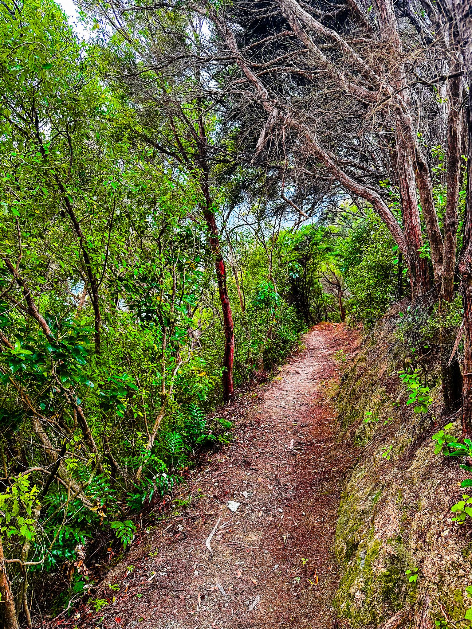
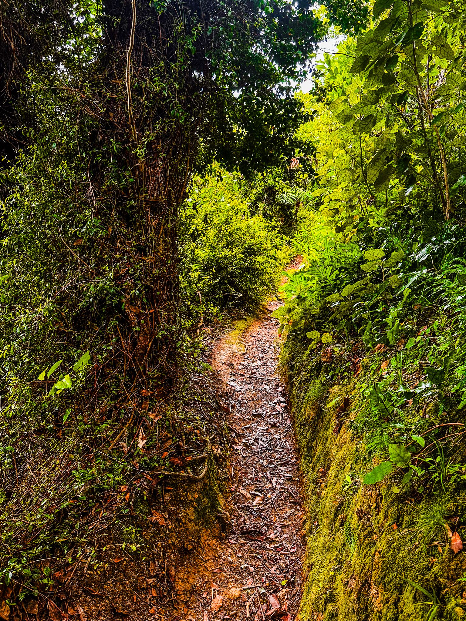
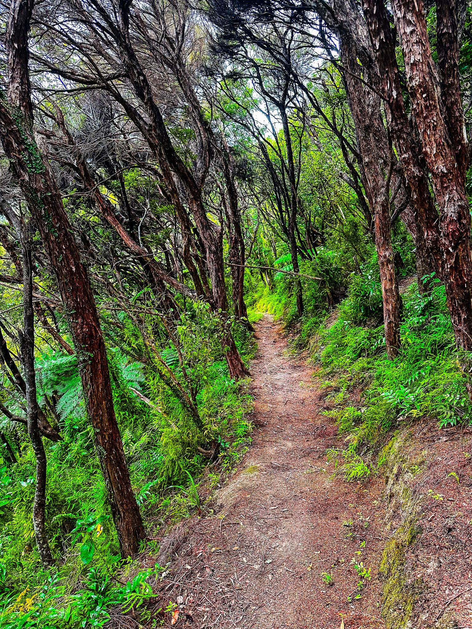
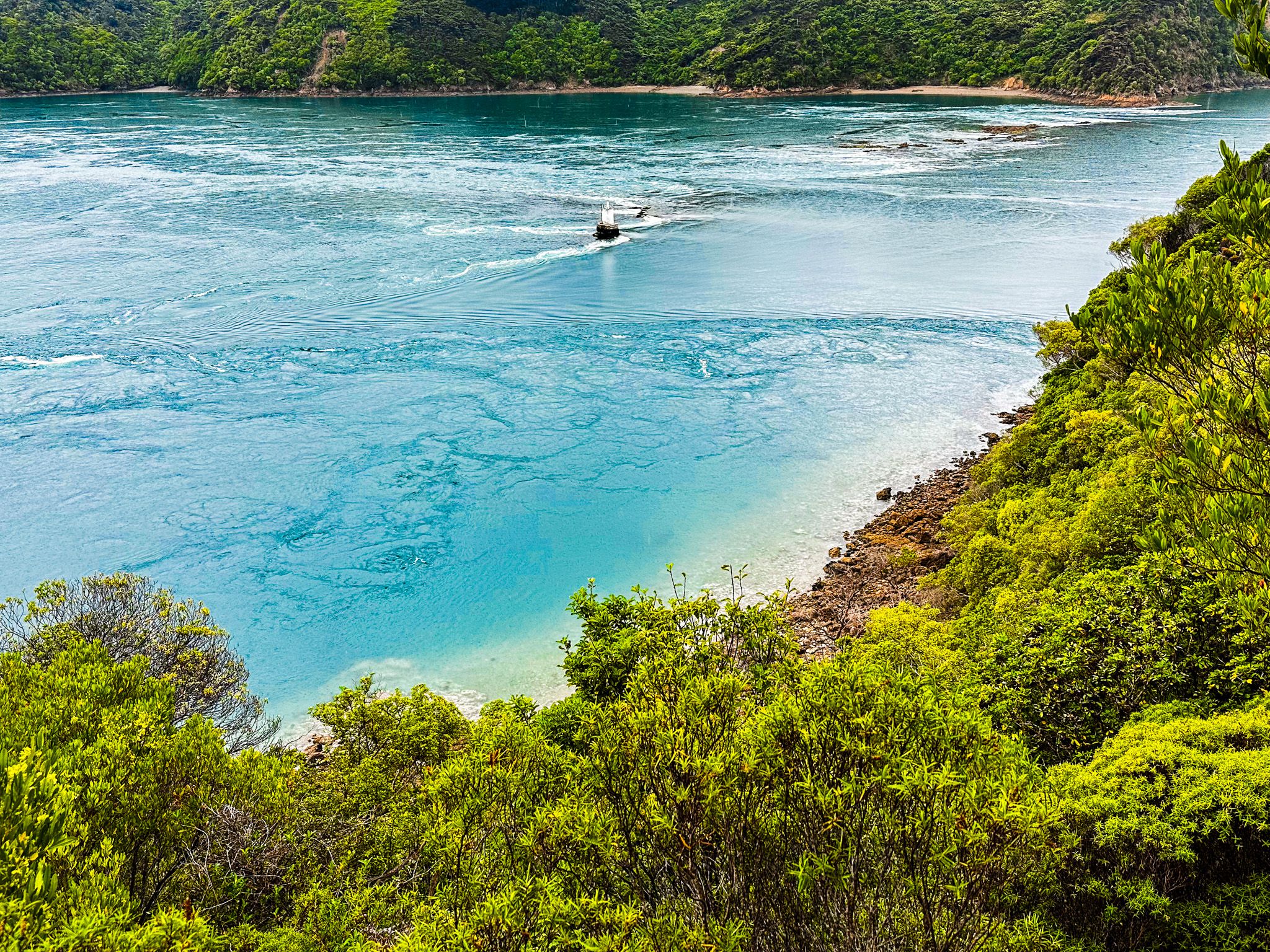
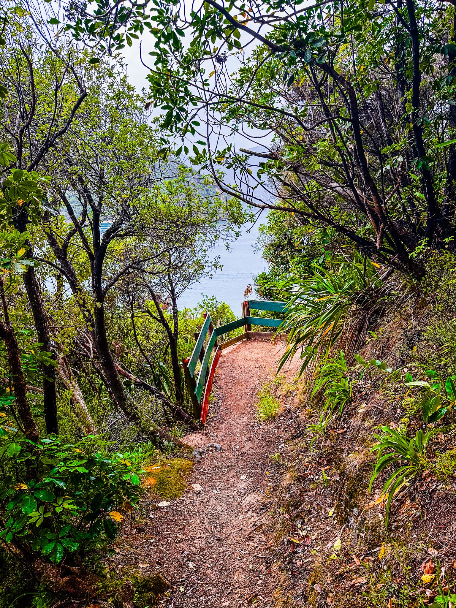
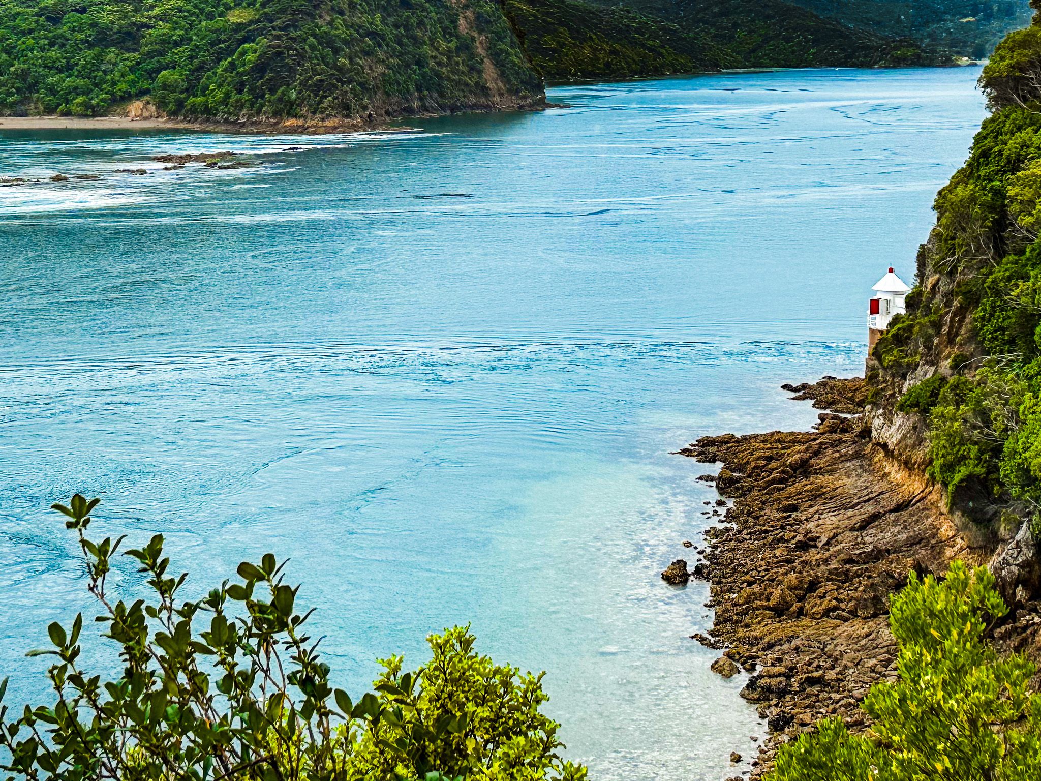
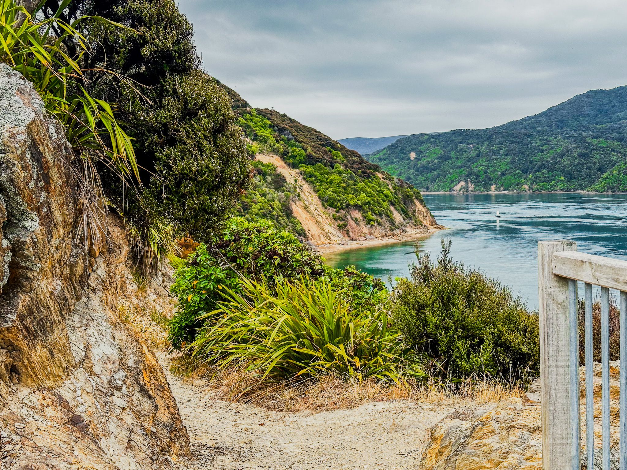
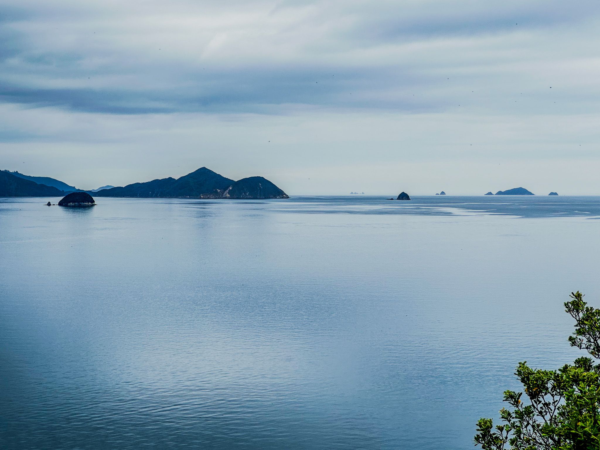
The French Pass Lookout Track provides the best view of Te Aumiti / French Pass. This is both visually spectacular and one of the most dangerous stretches of water in NZ. The track goes from a small parking area on the road through a pretty section of native coastal forest around Channel Point. It takes only a few minutes, with a viewpoint immediately above the pass. There is also an option to walk for another 10 minutes or so to a small beach on the south side of Channel Point.
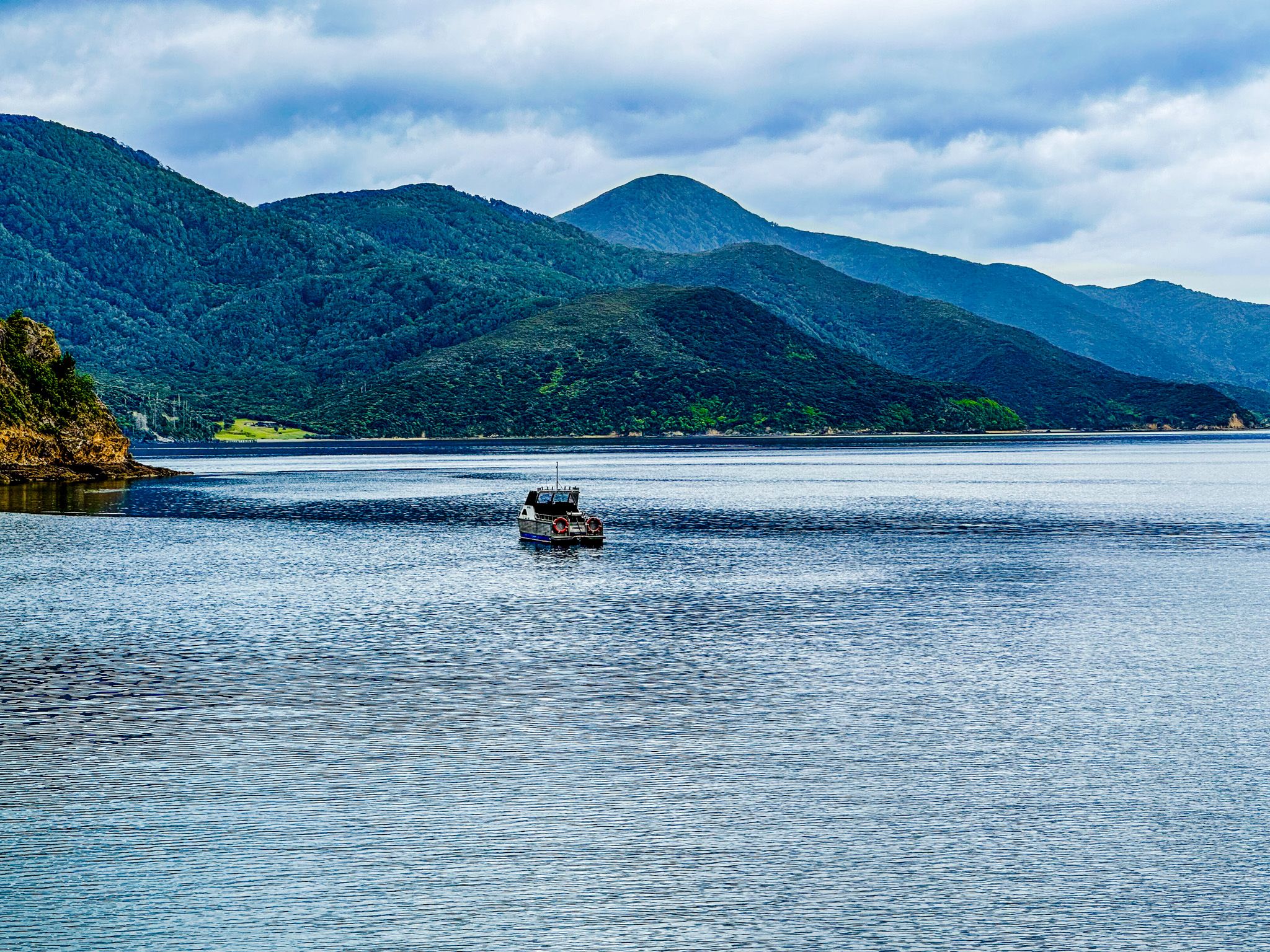
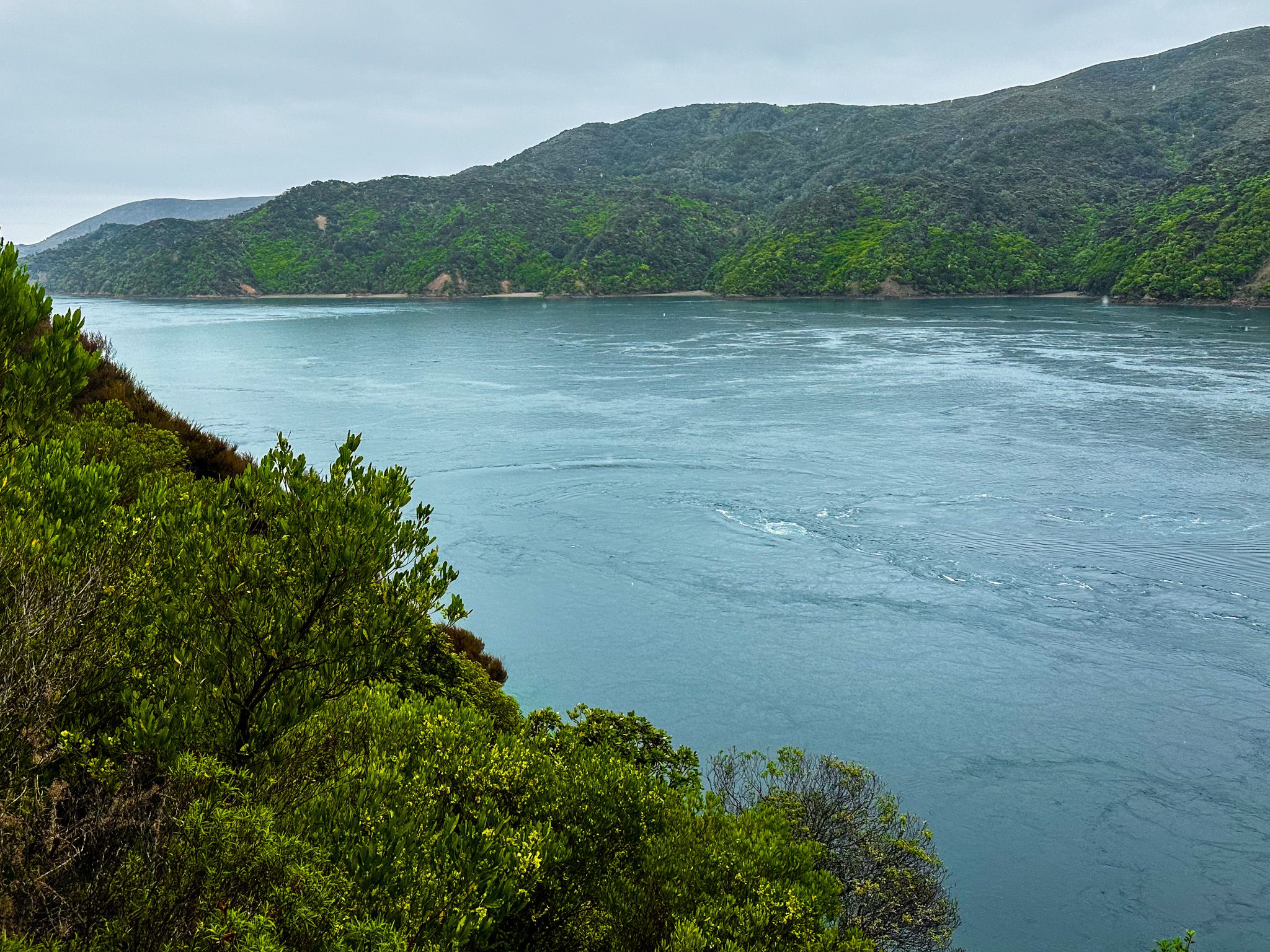
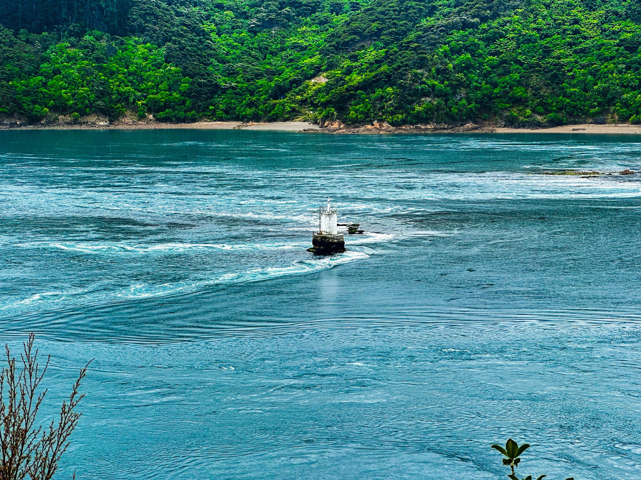
From the lookout, you quickly appreciate the challenge of taking a boat through the pass. The pass is only 100 metres wide at the narrows between the point and Rangitoto ki te Tonga / D’Urville Island. And, of the narrows, 80 metres is guarded by a broken reef known as Te Kawau-a-Toru. To the northeast is Admiralty Bay, and to the southwest is Current Basin, opening out to Tasman Bay / Te Tai-o-Aorere.
The tidal rip is clearly visible and runs up to 15 km per hour. There are also clearly identifiable whirlpools over large holes in the seabed. These have killed divers in the past. There are small lighthouses on the end of the reef and to the right of the viewpoint. Imagine the difficulty of building the one on the reef in the 1800s!
In Māori mythology, the reef, Te Kawau-a-Toru, is the body of Kupe’s king shag. Kupe, the legendary Polynesian explorer, was attacked by a giant wheke (octopus) while exploring Cook Strait. The battle resulted in the rugged coastline of Marlborough Sounds. The shag then led Kupe to the Te Aumiti / French Pass. Unfortunately, while testing the pass for Kupe, Te Kawau-a-Toru was caught in the rip, broke a wing and drowned. It is not clear if Kupe then attempted the pass anyway.
Admiral Jules Dumont d'Urville, French commander of the Corvette Astrolabe, was the first European to run the pass on his second trip to NZ in 1827. It went badly, and the ship swung sideways and struck rocks twice. Then, it was washed over the reef into Admiralty Bay but survived. At least D’Urville got to name an island and is remembered in the name of the pass.
Despite his experience and recommendation that no one else try it, the pass cut the sailing time between Pelorus Sound / Te Hoiere and Tasman Bay / Te Tai-o-Aorere. Plus, the risk level depends on the tidal flow, which is predictable.
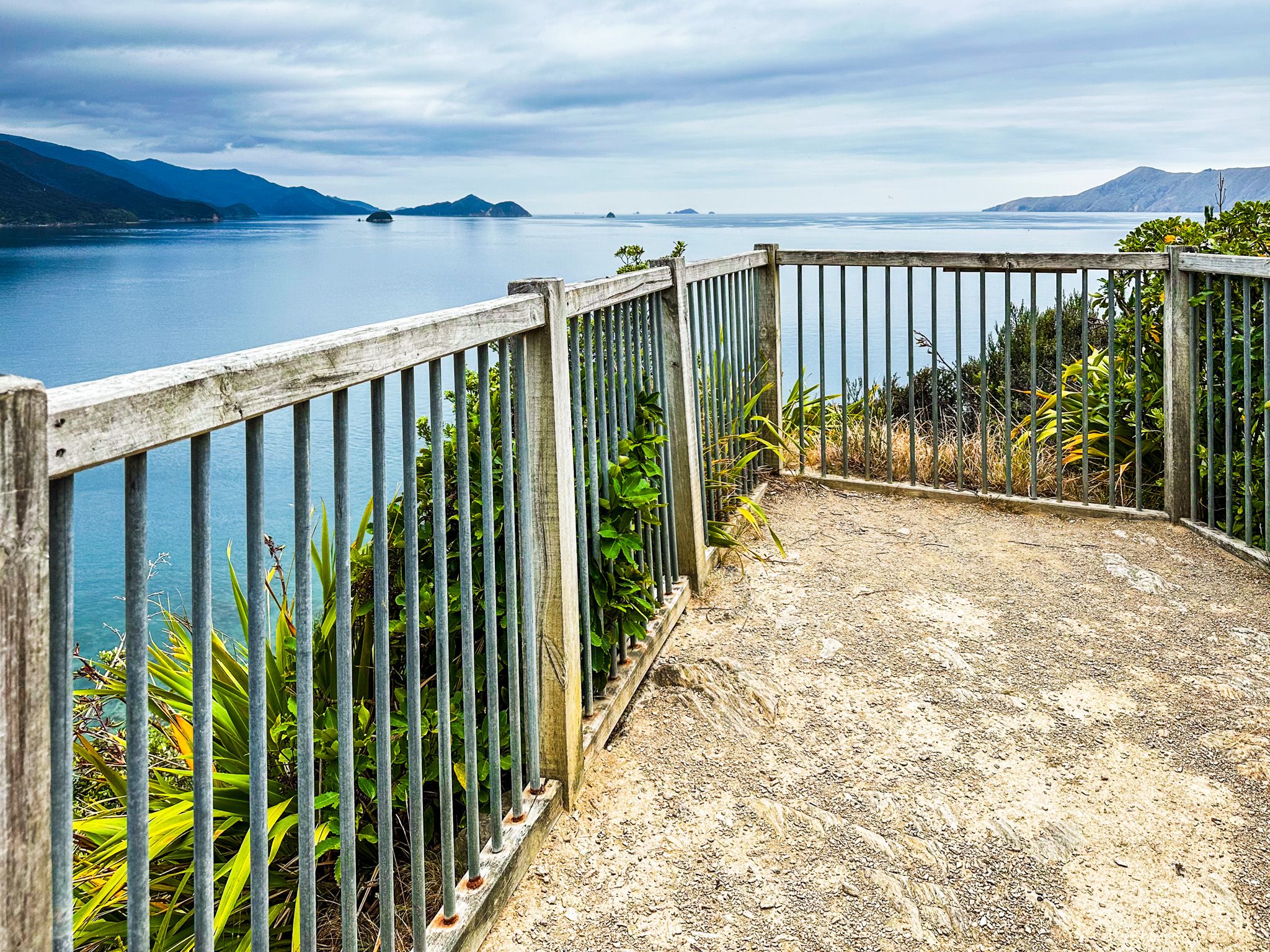
Collinet Lookout
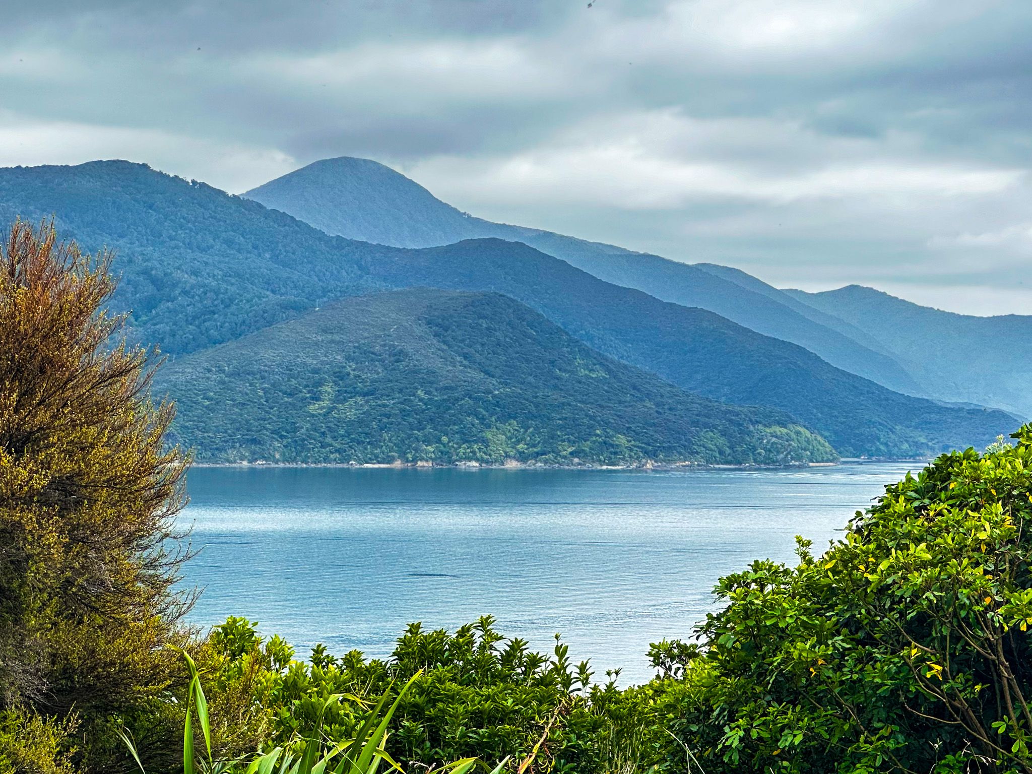
Collinet Lookout is a short walk at Collinet Point, about 700 metres east of Channel Point and marks the north end of French Pass / Te Aumiti. There is a car park with plenty of space accessed just off Croisilles French Pass Road, about 500 metres before the end of the road in French Pass / Anaru. From there, it is a short track to a viewing platform at the end of the point.
The main view is across to Rangitoto ki te Tonga / D’Urville Island and Admiralty Bay. But there is also a good view from the track back down to French Pass. Some panels describe the relationship of local Māori, Ngati Kuia and Ngati Koata, to the region, both mythical and historical. There is a statue of Pelorus Jack by the car park, and another panel tells the story of this famous Risso’s dolphin. Risso’s dolphins lack the pointed snout of other dolphin species.
In 1888, a dolphin started accompanying boats to and from Collinet Point to Pelorus Sound / Te Hoiere, a distance of 8 km. He was named Pelorus Jack and was the first dolphin in the world to receive legal protection. Pelorus Jack did not enter French Pass beyond the point, and his accompaniment of the boats to and from the pass continued for 24 years until he disappeared in 1912.
Pelorus Jack's story also connects to one of the Kupe myths. After Kupe discovered the region from Pelorus Sound / Te Horiere to French Pass / Te Aumiti, he left his dolphin, Kaikaiawaro, behind to serve his descendants, the Ngati Kuia. Kaikaiawaro carved out Pelorus Sound / Te Horiere with its snout, has appeared to the iwi at various times of need and is expected to return in the future.

French Pass / Anaru
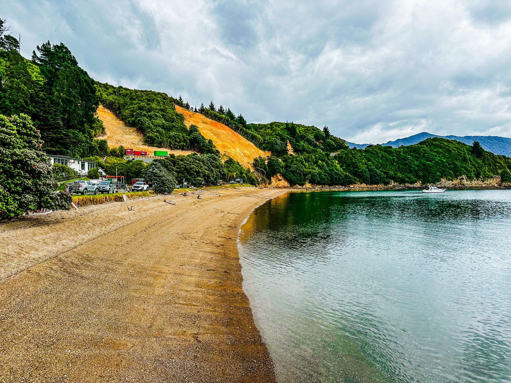
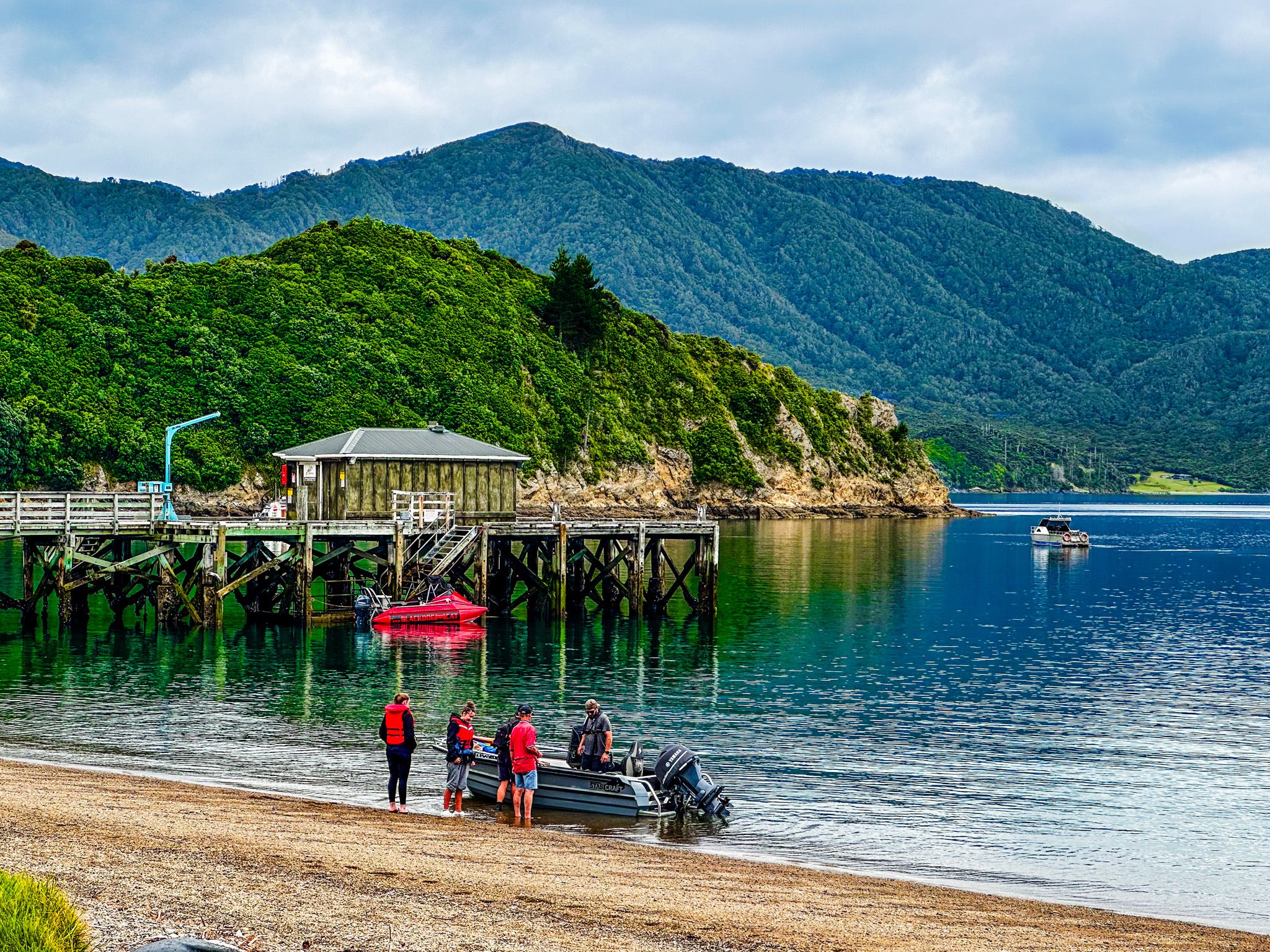
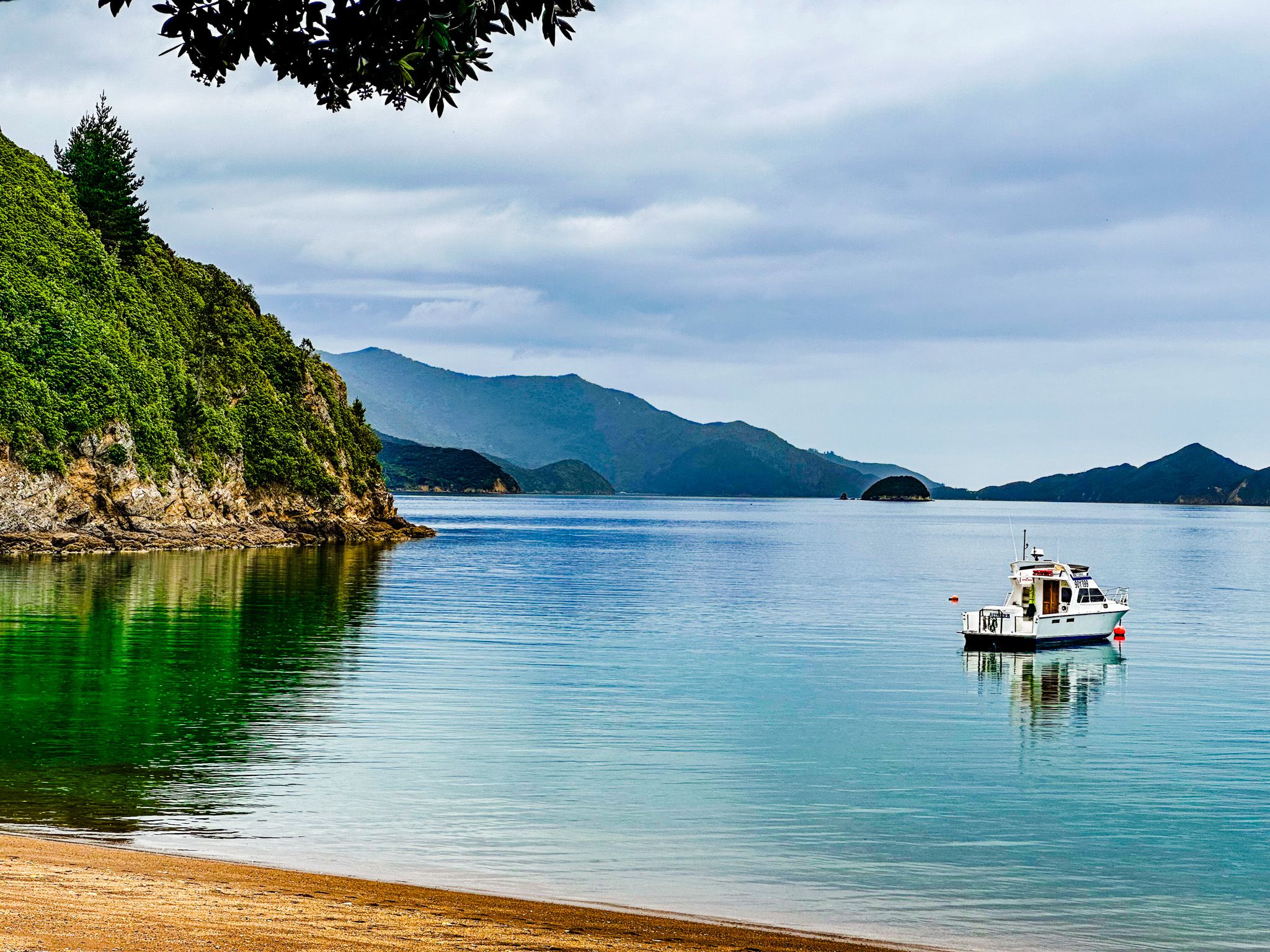
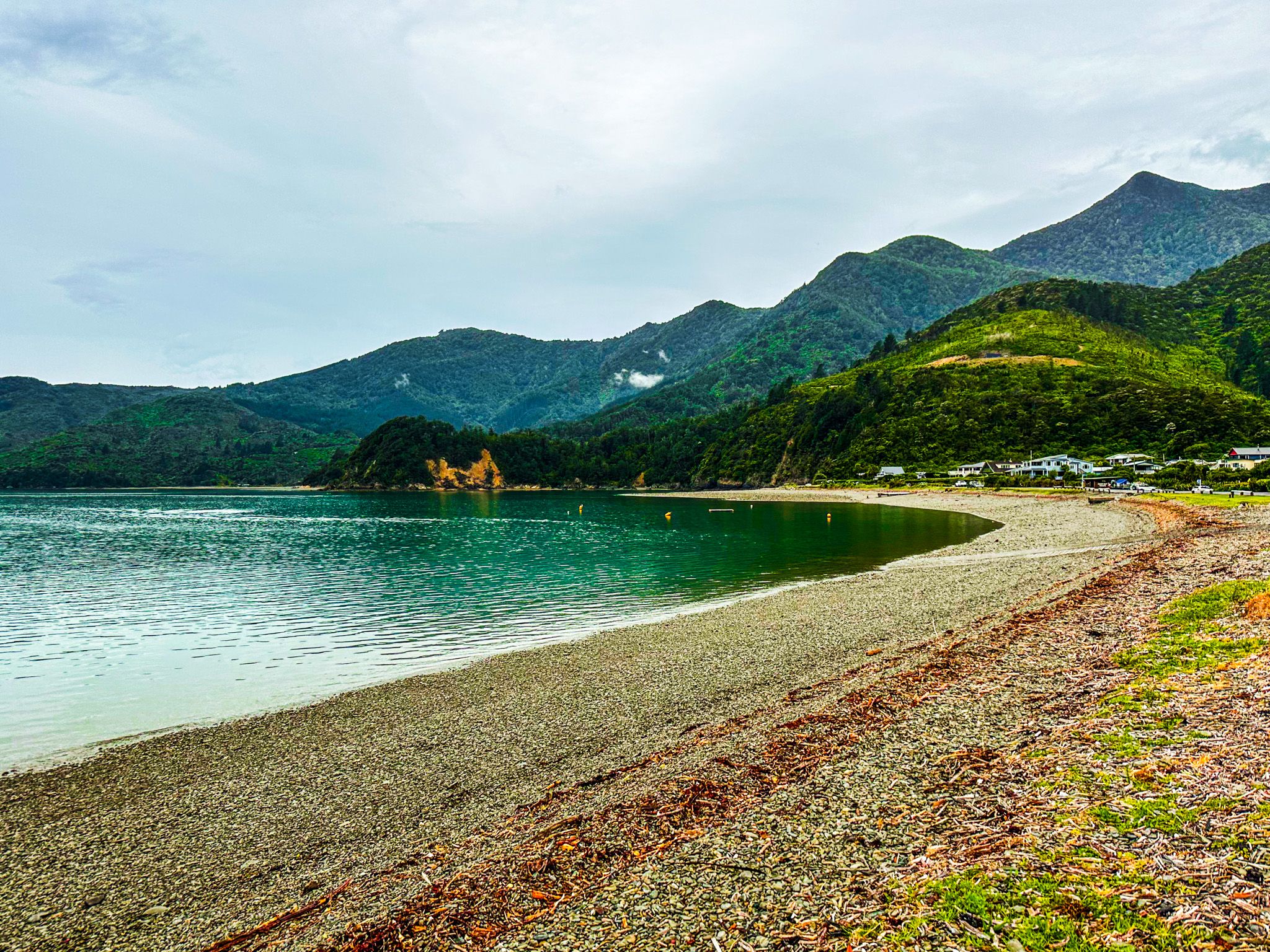
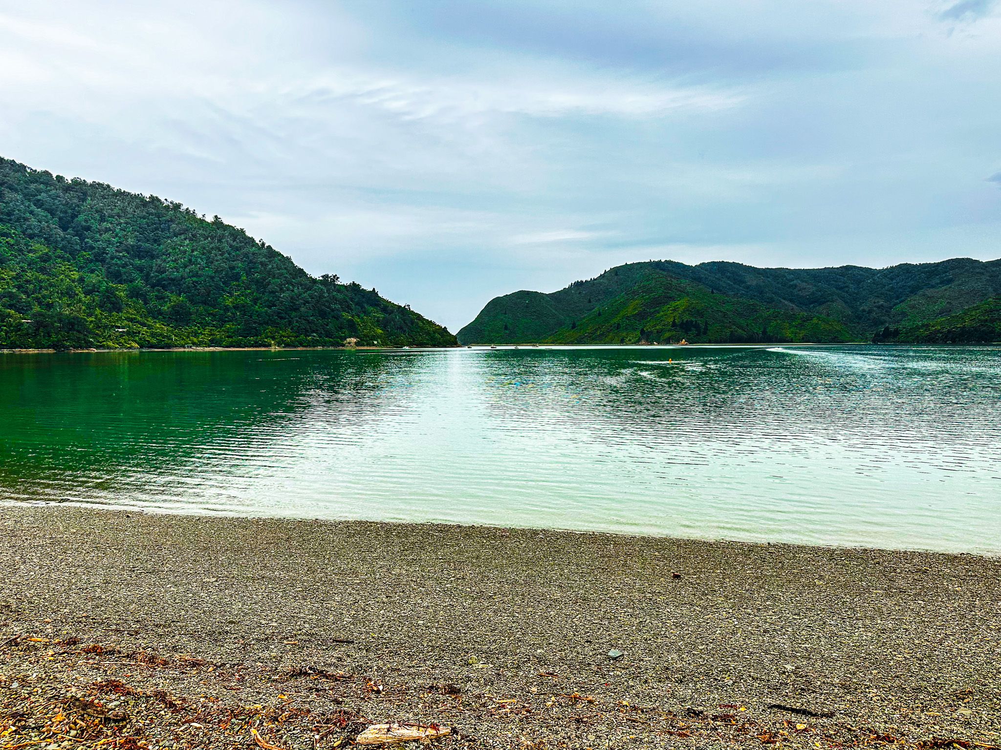
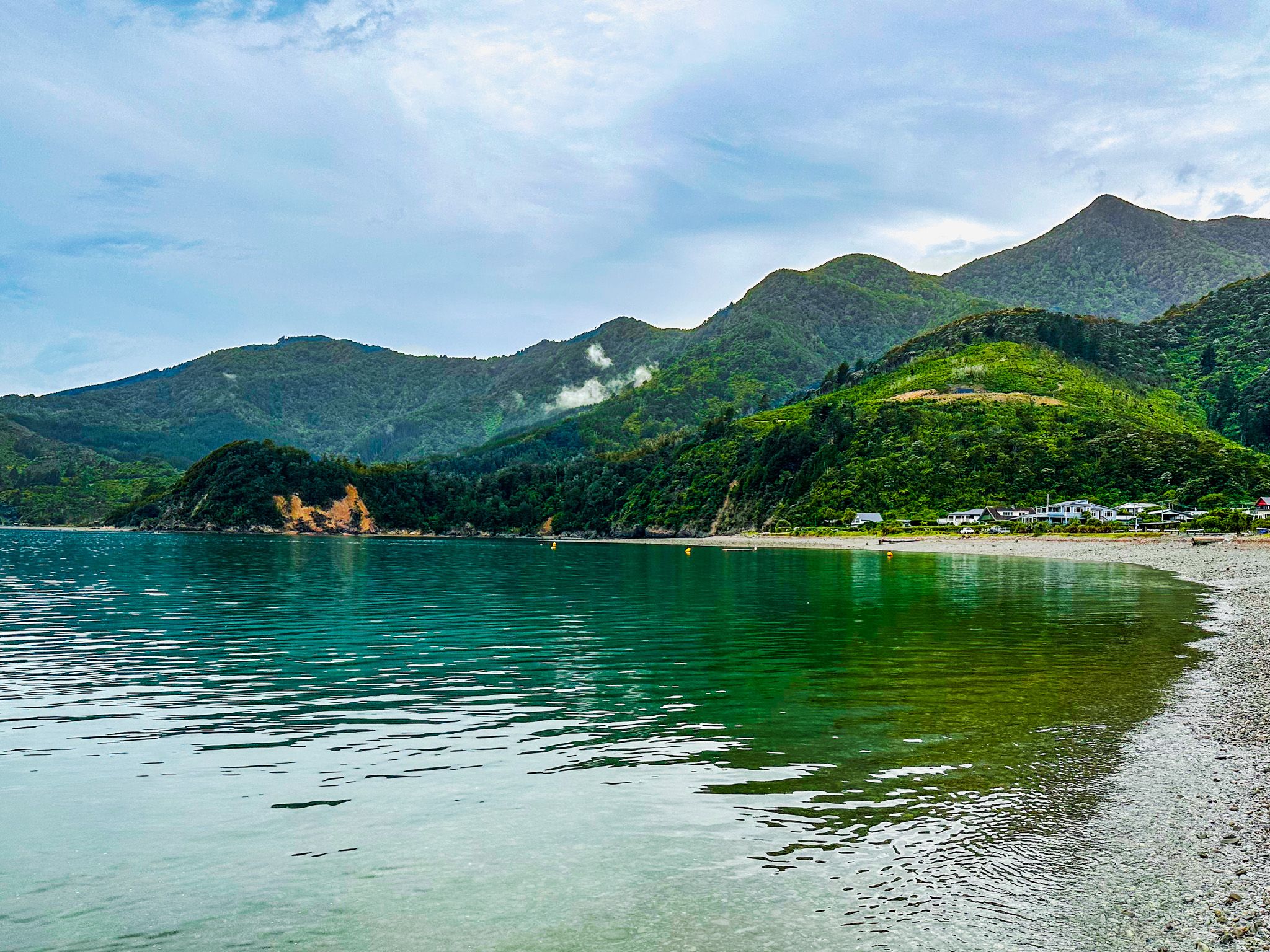
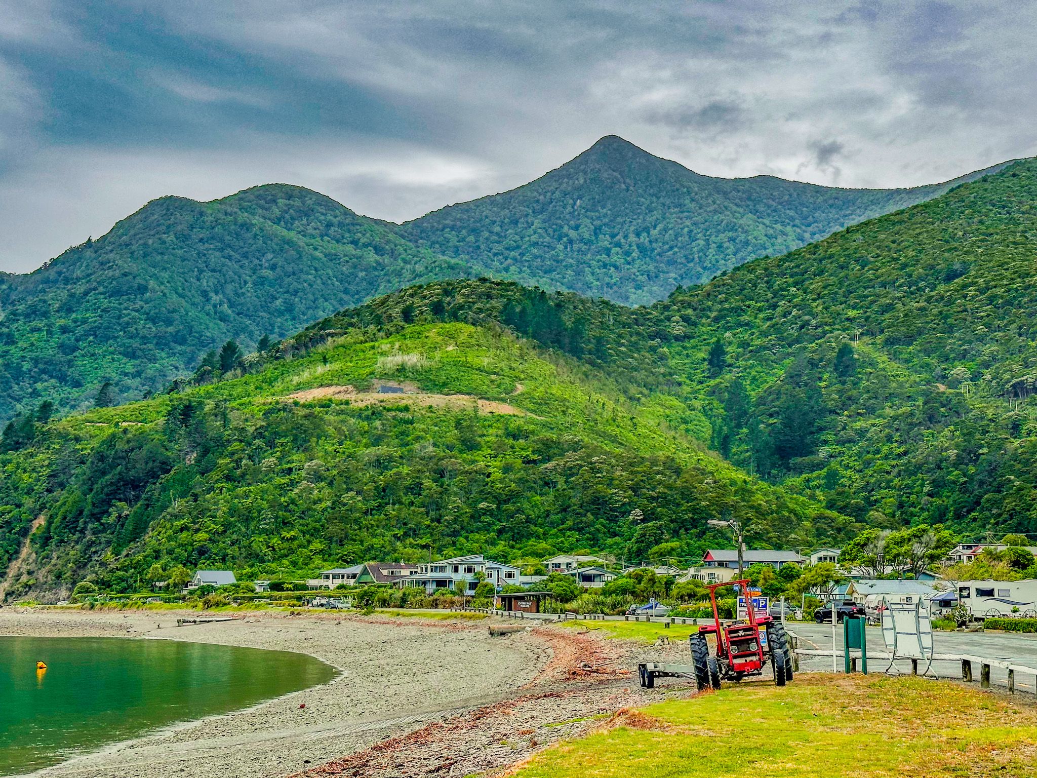
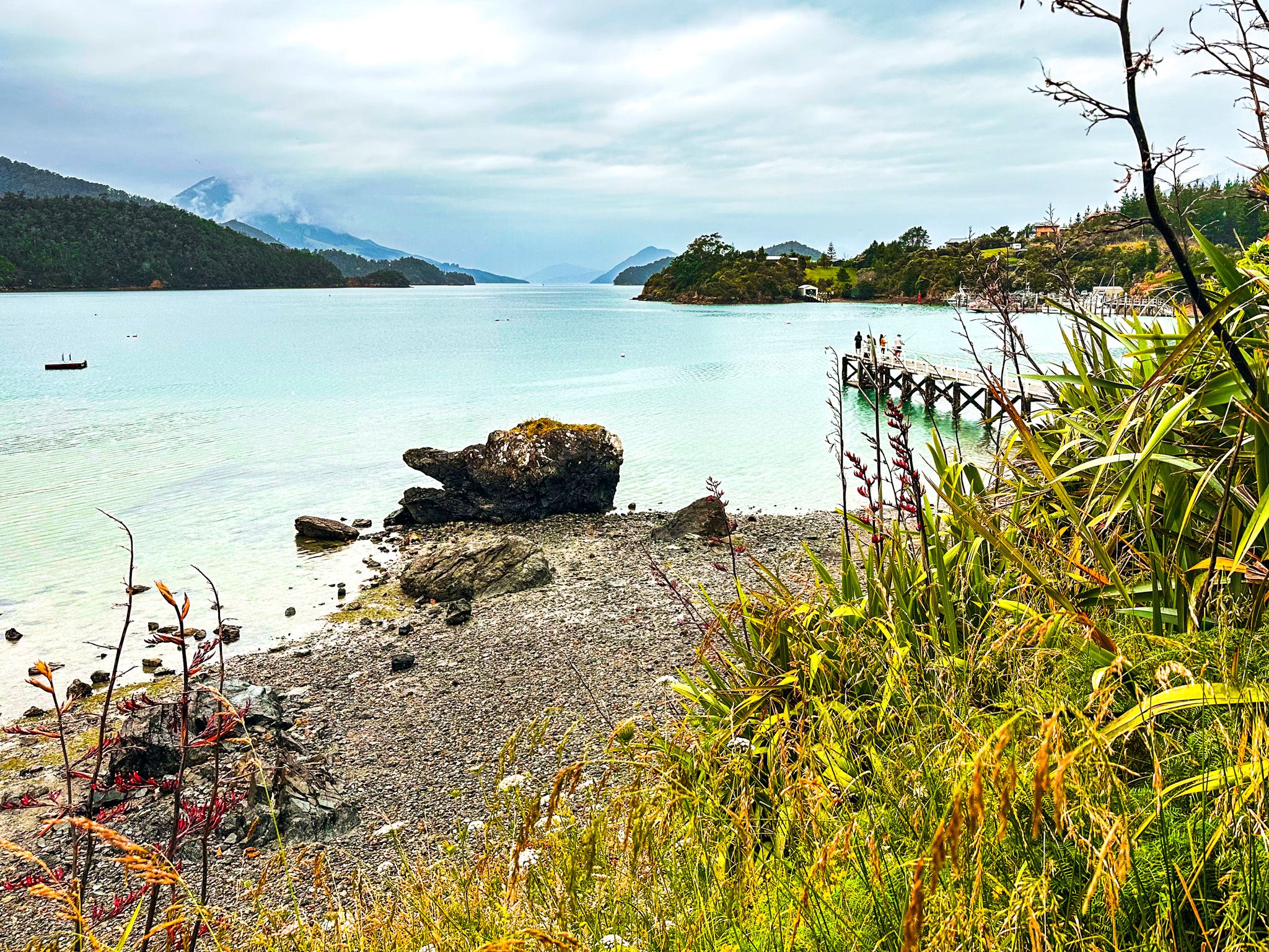
French Pass / Anaru is a small beachside community and a modest-sized DOC campsite at the end of Croisilles French Pass Road, 70 km from State Highway 6. To add further naming confusion, the related bay is called Elmslie Bay. The bay faces northeast into Admiralty Bay, with Rangitoto ki te Tonga / D’Urville Island to the west.
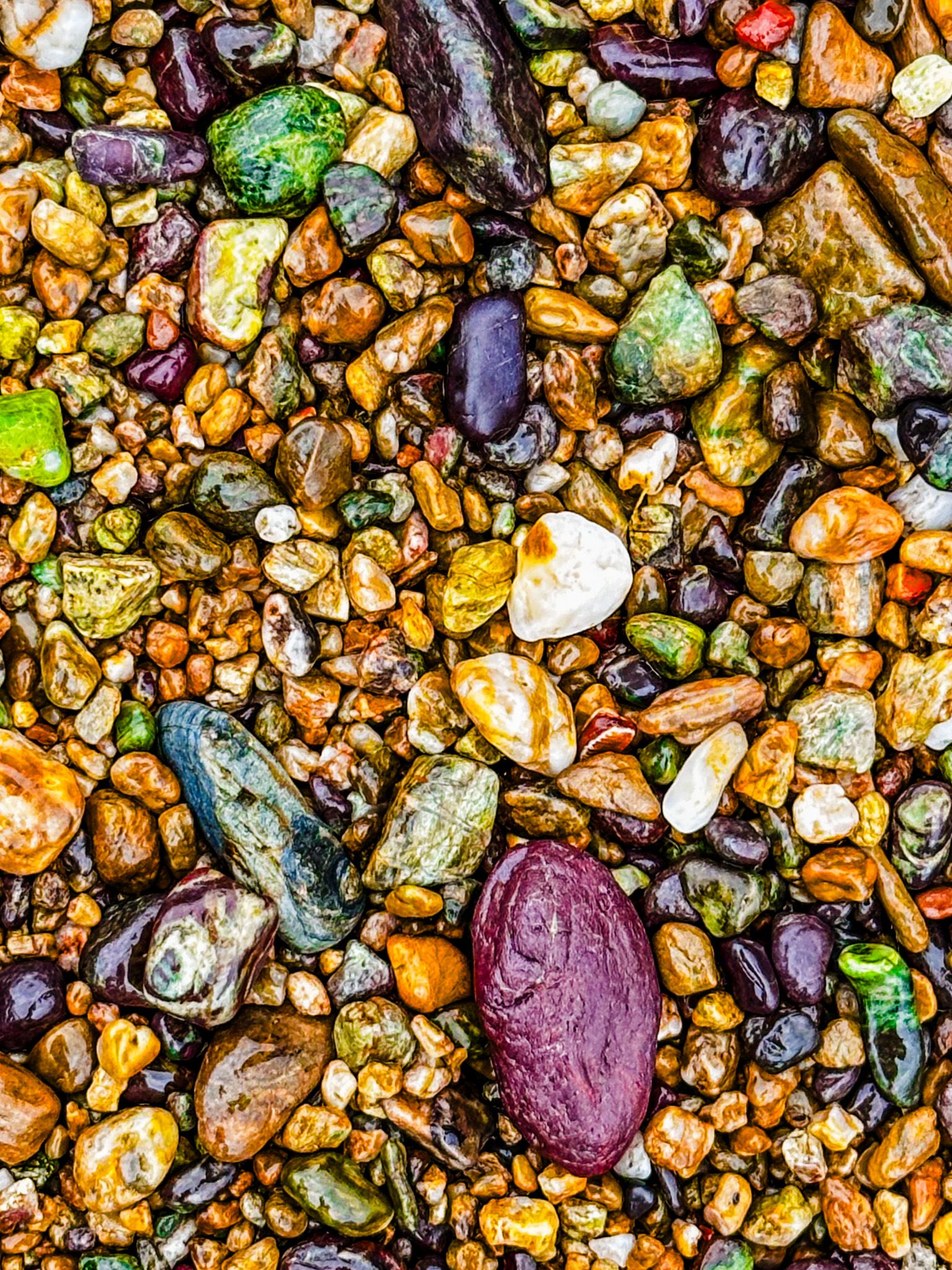
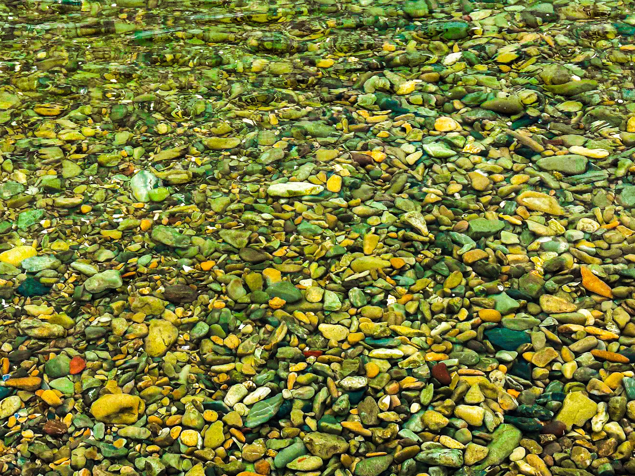
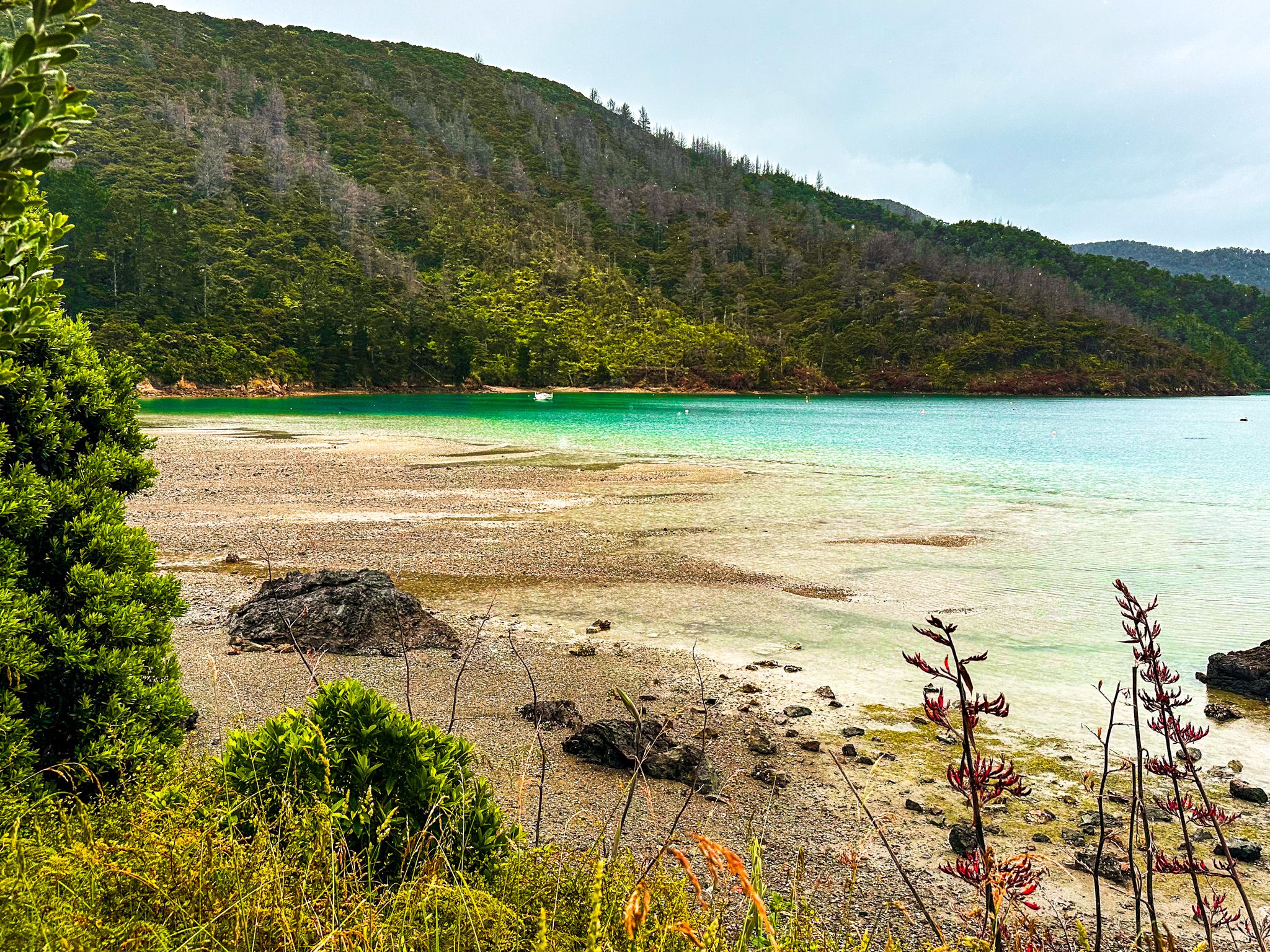
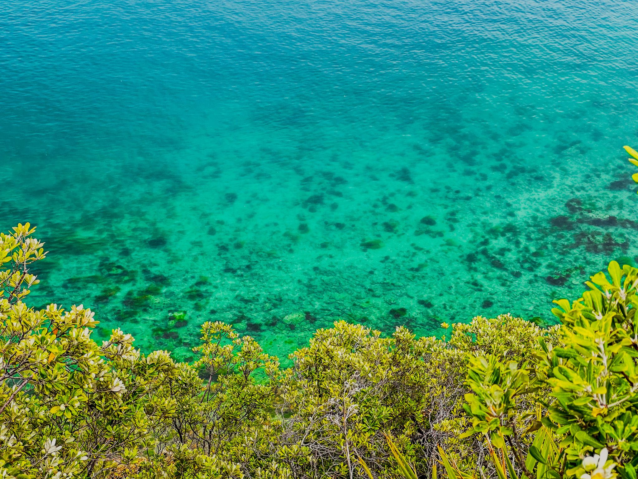
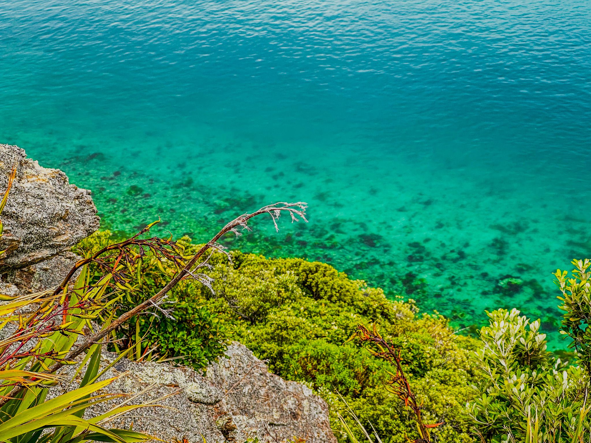
The 400-metre-long beach is pretty, with crystal clear water and colourful sand. It is safe for swimming but can be a bit rocky underfoot and is used by boats. The campsite overlooks the beach at the west end of the bay, and there is a wharf about halfway along the beach. A boat ramp beside the campsite supports a barge service that takes people and 4WD vehicles to Kopowai Bay on nearby D’Urville Island for day trips and longer stays.
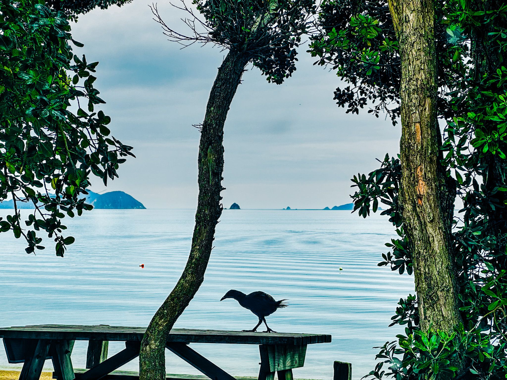
An unusual feature of the beach is the good number of weka wandering around without a care. Quite a change from ducks and seagulls as you enjoy your picnic under the pohutukawa trees next to the beach.
There was a caravan cafe when we visited, but you must take supplies for a multi-day stay.