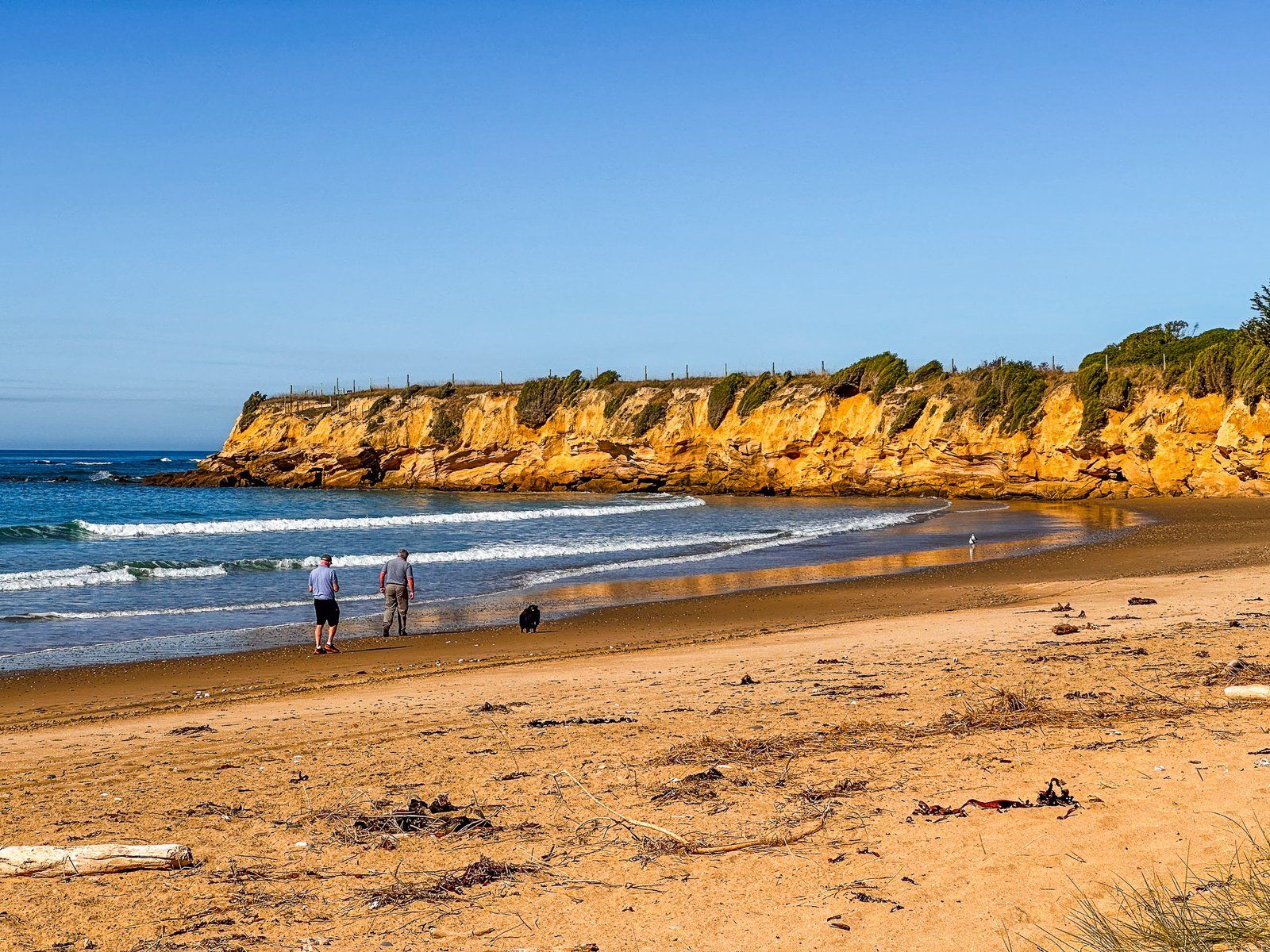
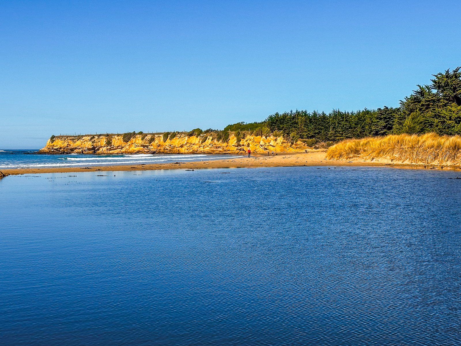
The curiously named All Day Bay (also Ōrore) lies between Kakanui Point and Ōrore Point on the North Otago Coast of the Pacific. Cliffs bound it for most of its three km length, with Te Hakapureirei Beach to the south. The easiest access is from Campbell Bay on the south side of Kakanui Point, then to head south along the beach or from the reserve in front of the south end of the beach before Ōrore Point.
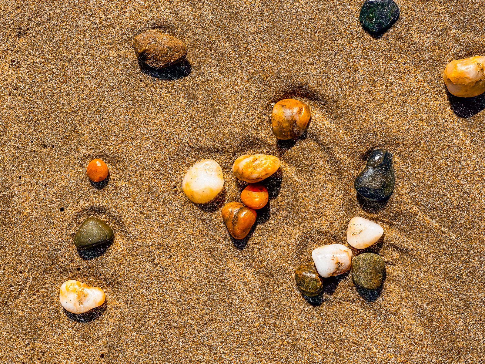
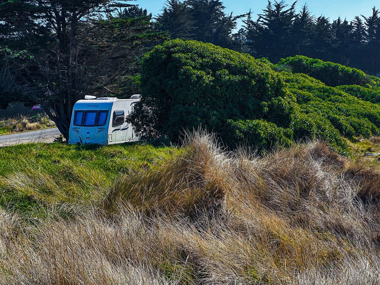
The reserve is easy to spot on the side of Waianakarua Road, and there is space for freedom camping. As with the other beaches on this coast, the sand has gold to orange shades, although not as intense as north of Kakanui. The cliff below Ōrore Point to the south is also colourful.
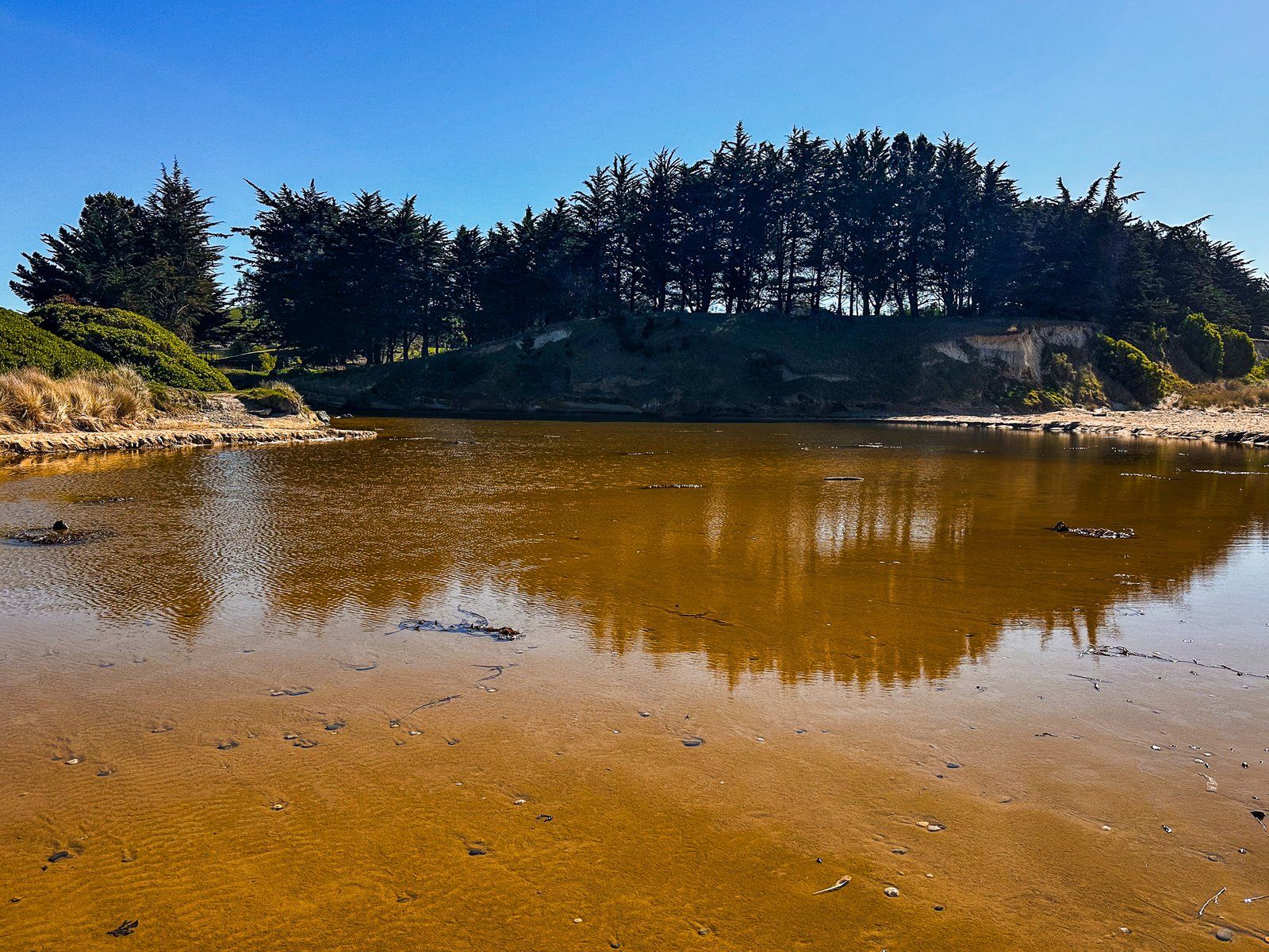
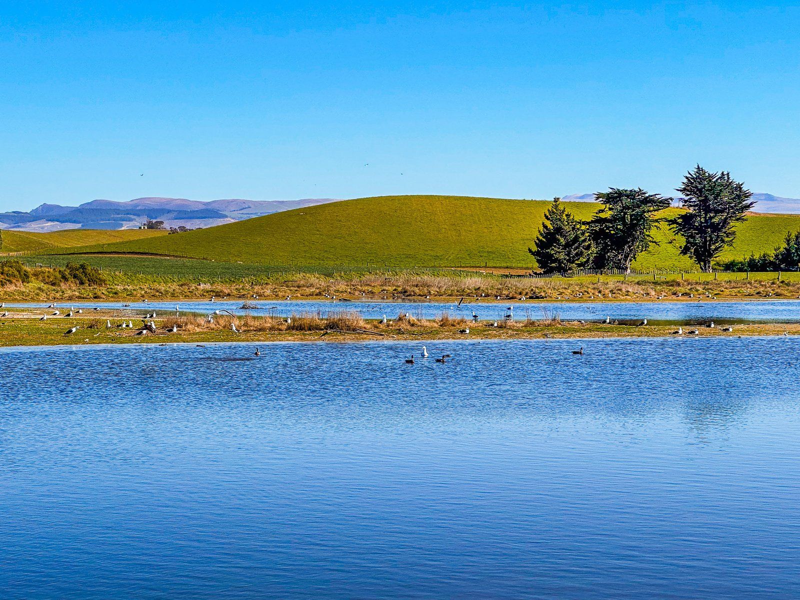
On the other side of the road, there is a lagoon. This is a significant waterfowl and seabird shelter and nesting location. Birds present include shovellers, grey ducks, grey teals, oystercatchers, pied stilts, and black stilts. Casual visitors include royal spoonbills and white herons.
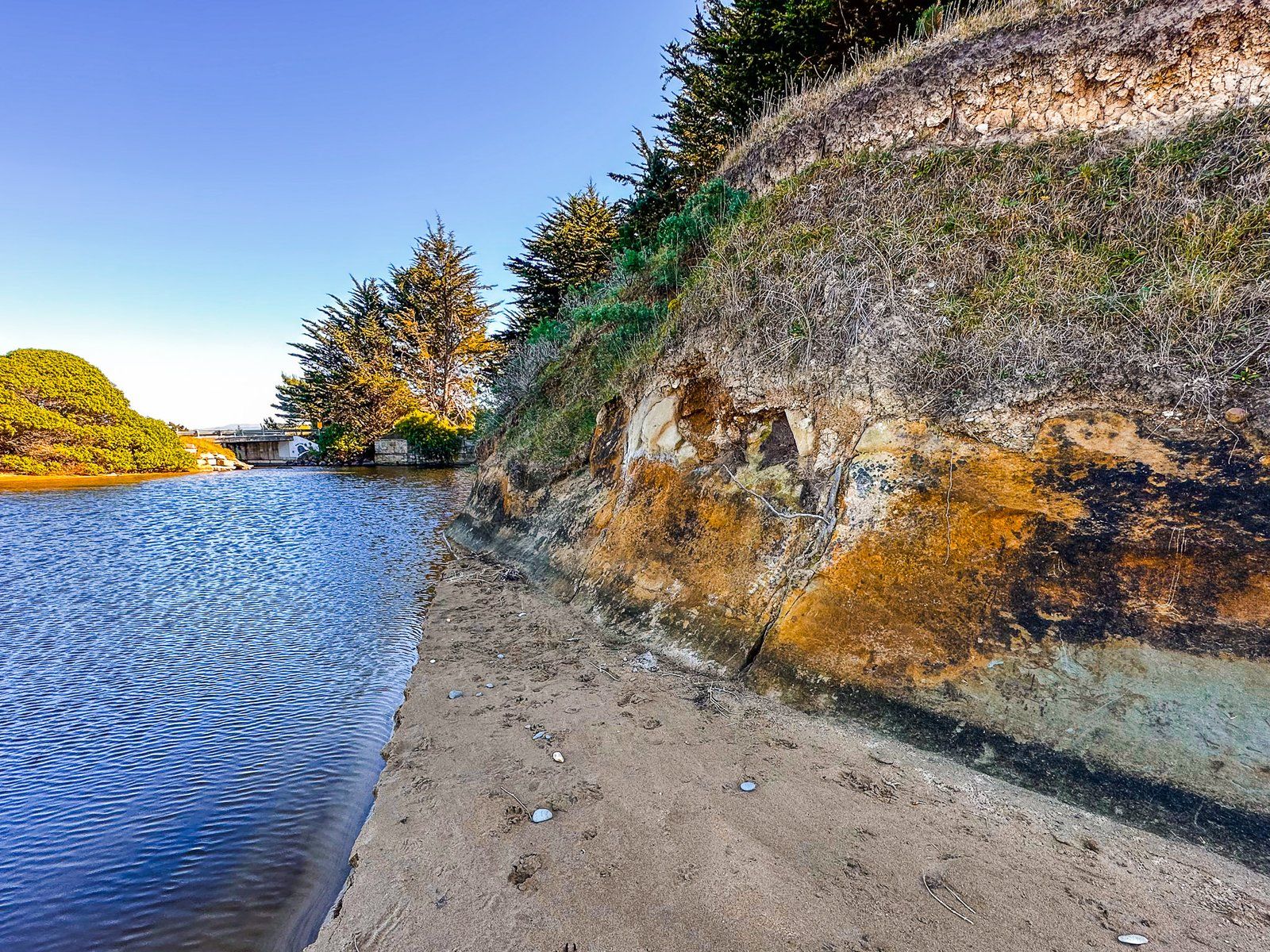
Like the rest of the coast, the cliffs are geologically ancient. A particular feature to the north of the reserve is the “Mt Harris Formation”. Unlike the golds, oranges, and whites of most of the cliffs, the cliff where the lagoon outlet crosses the beach looks dark and muddy. It was laid down about 20 million years ago when Aotearoa started rising out of the ocean. The formation is a particularly good source of ancient marine fossils.
For Māori, Ōrore was traditionally a kāika mahika kai (food-gathering place) for tuna (eels), waterfowl, and īnaka (whitebait). There were large settlements in the area, and this was one of the earliest inhabited areas in the South Island. Moa hunting was also a significant activity before their extinction around 1600.