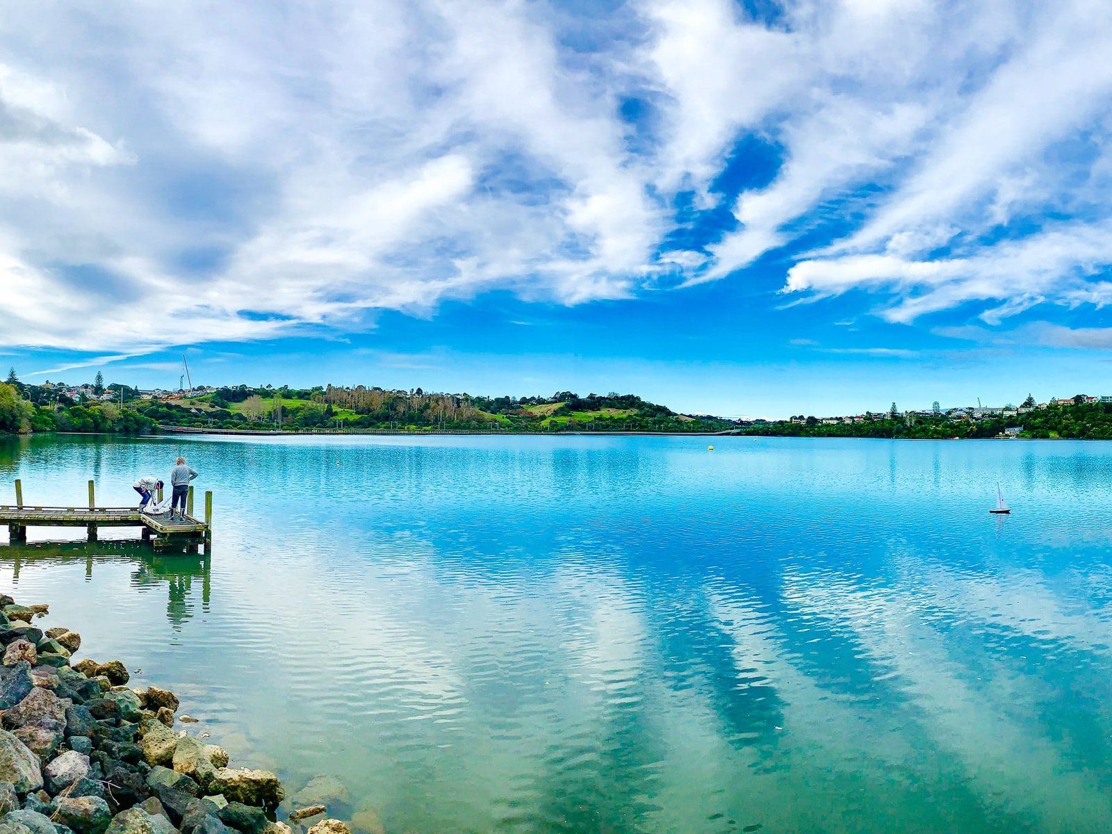
Ōrākei Basin is 83,000 years old and one of the 53 volcanic maunga and craters in the Auckland volcanic field. It is an explosive crater and one of the widest at 700 metres. The surrounding tuff ring is obvious, especially on the south side, steep and up to 40 metres high. The Basin is in the Auckland suburb of Ōrākei, southeast of downtown, and one of the most central Auckland parks where you can see native bush.
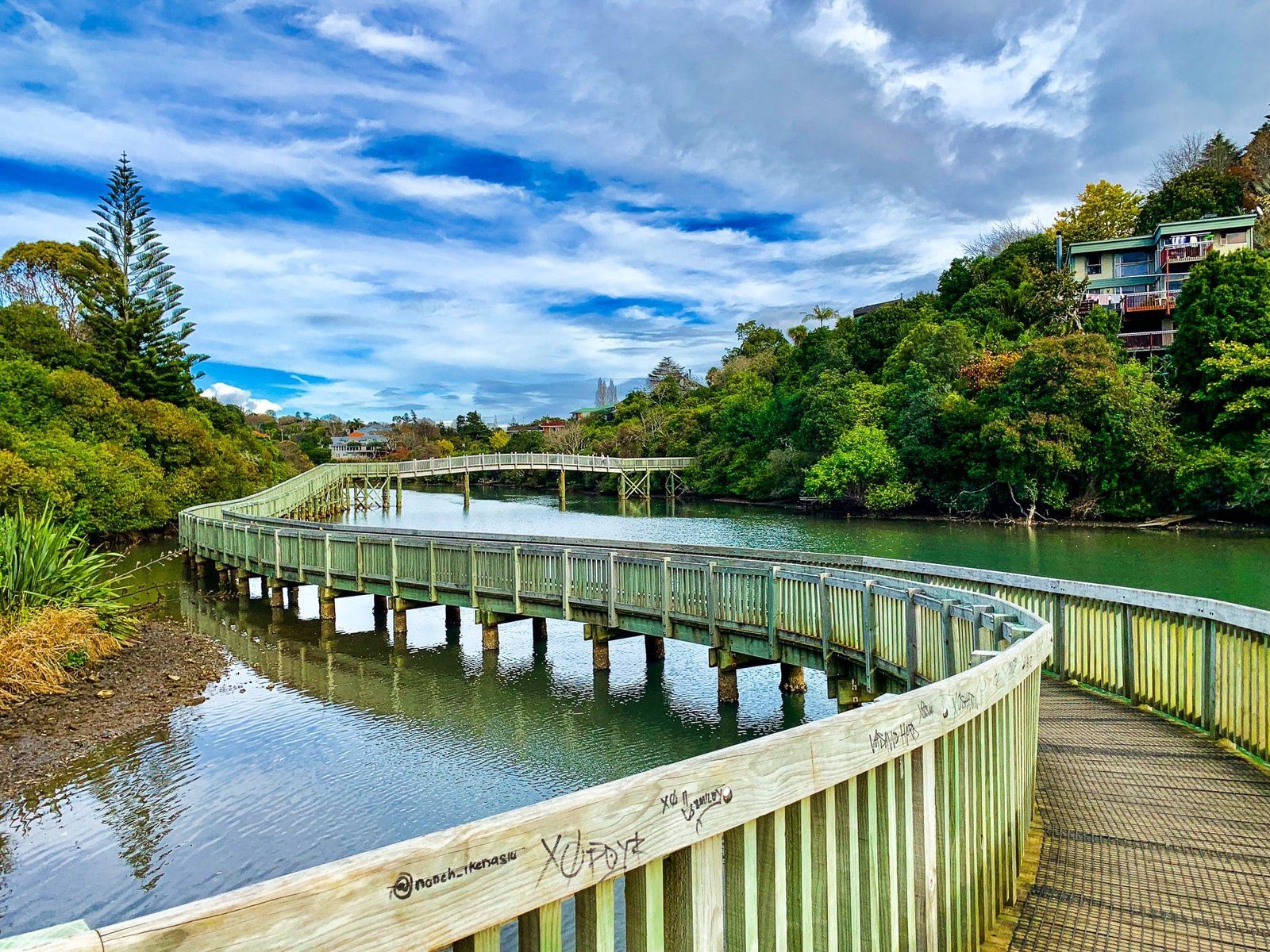
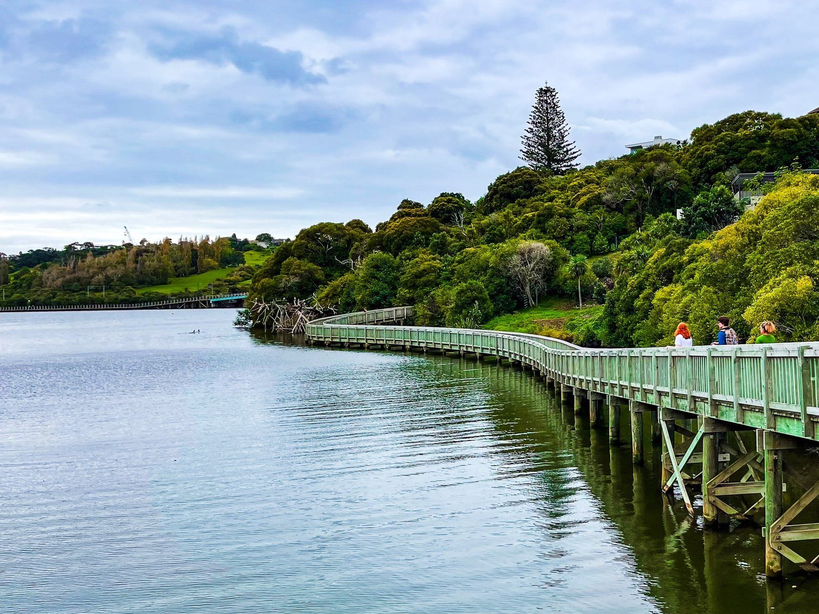
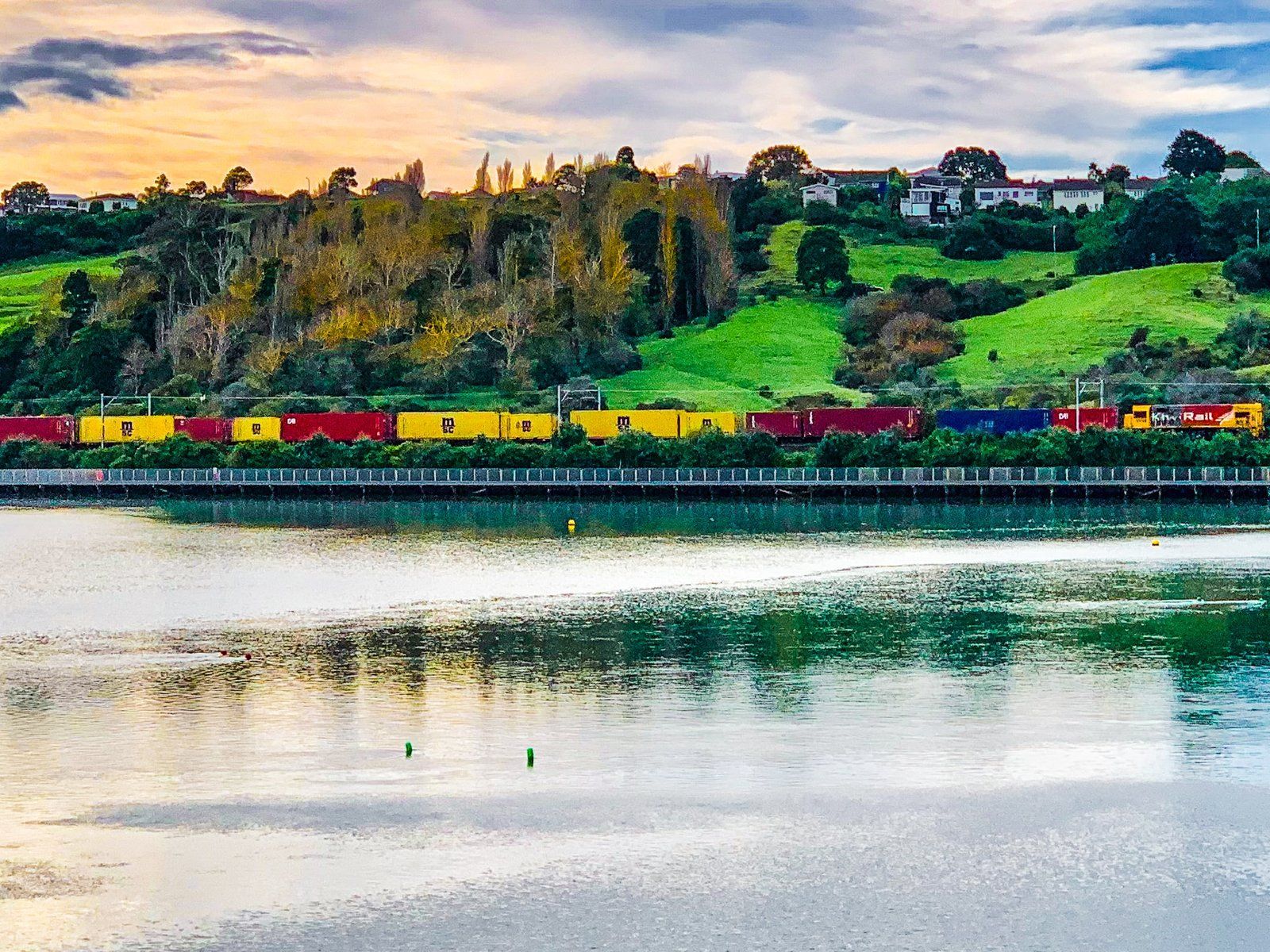
The crater was once a freshwater lake and swamp. At the end of the last ice age, the sea level rose about 90 metres, and the Waitemātā Harbour encroached on the lake, making it part of the Hobson Bay tidal lagoon. In the 1920s, a causeway with a control gate was constructed on the north side of the basin to support a railway line. This allowed the separation of the lagoon from the basin, recreating the lake while allowing flushing and refilling as required. At the east end of the basin, there is also a picturesque inlet to the basin, with houses and bush around the edge.
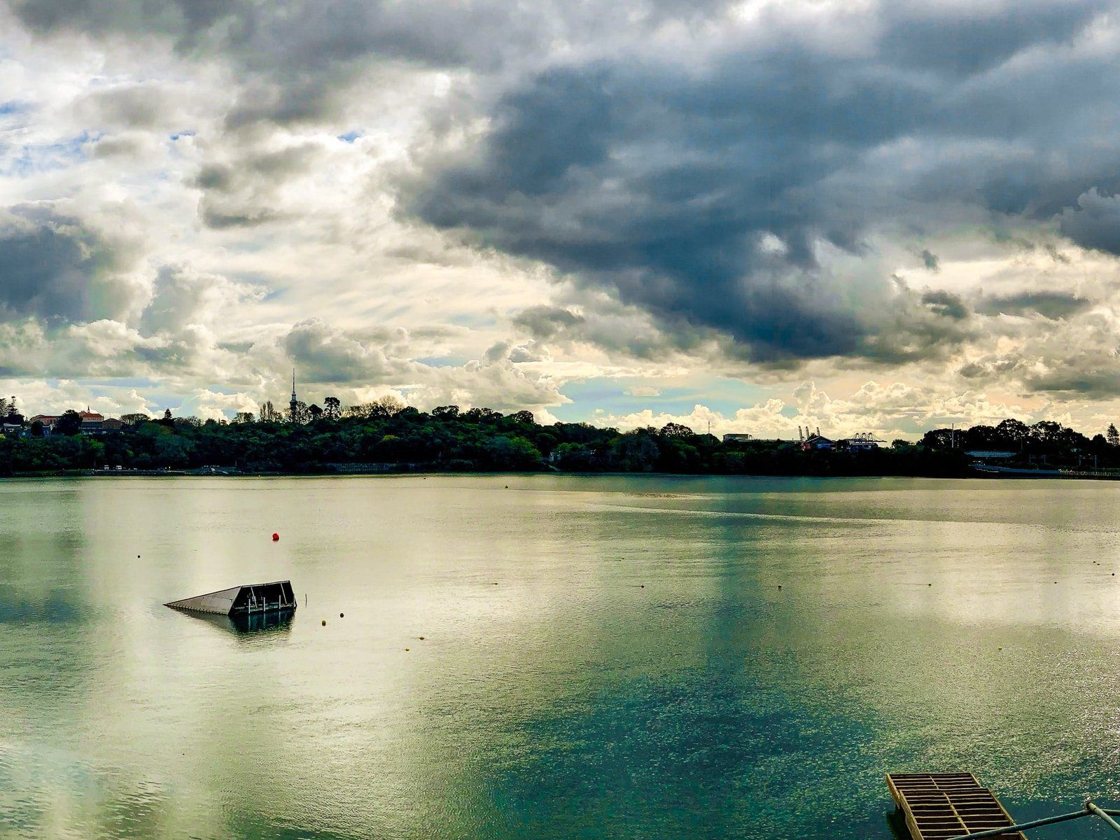
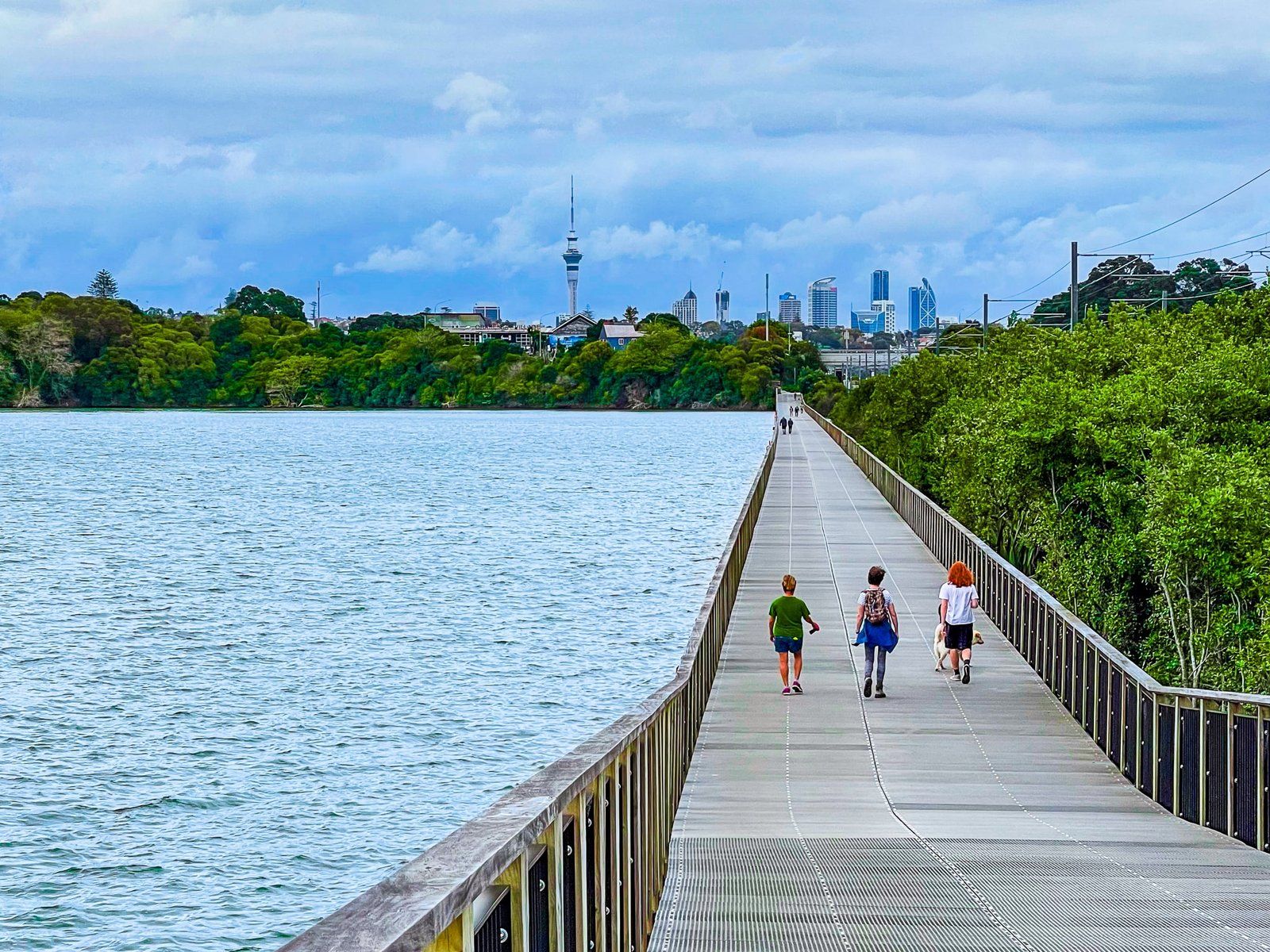
The lake is used for water recreation, including water skiing. But the best feature is the walking loop. This includes a long boardwalk above the lake on the north side, then a curved bridge over the inlet. This is followed by a climb onto the crater edge, with views back to downtown. There are also short sections of native forest before the southside walk around the lake's edge.
Road access is signposted on Ōrākei Road. The access road is very narrow in places, and the main car park is at the end of it.