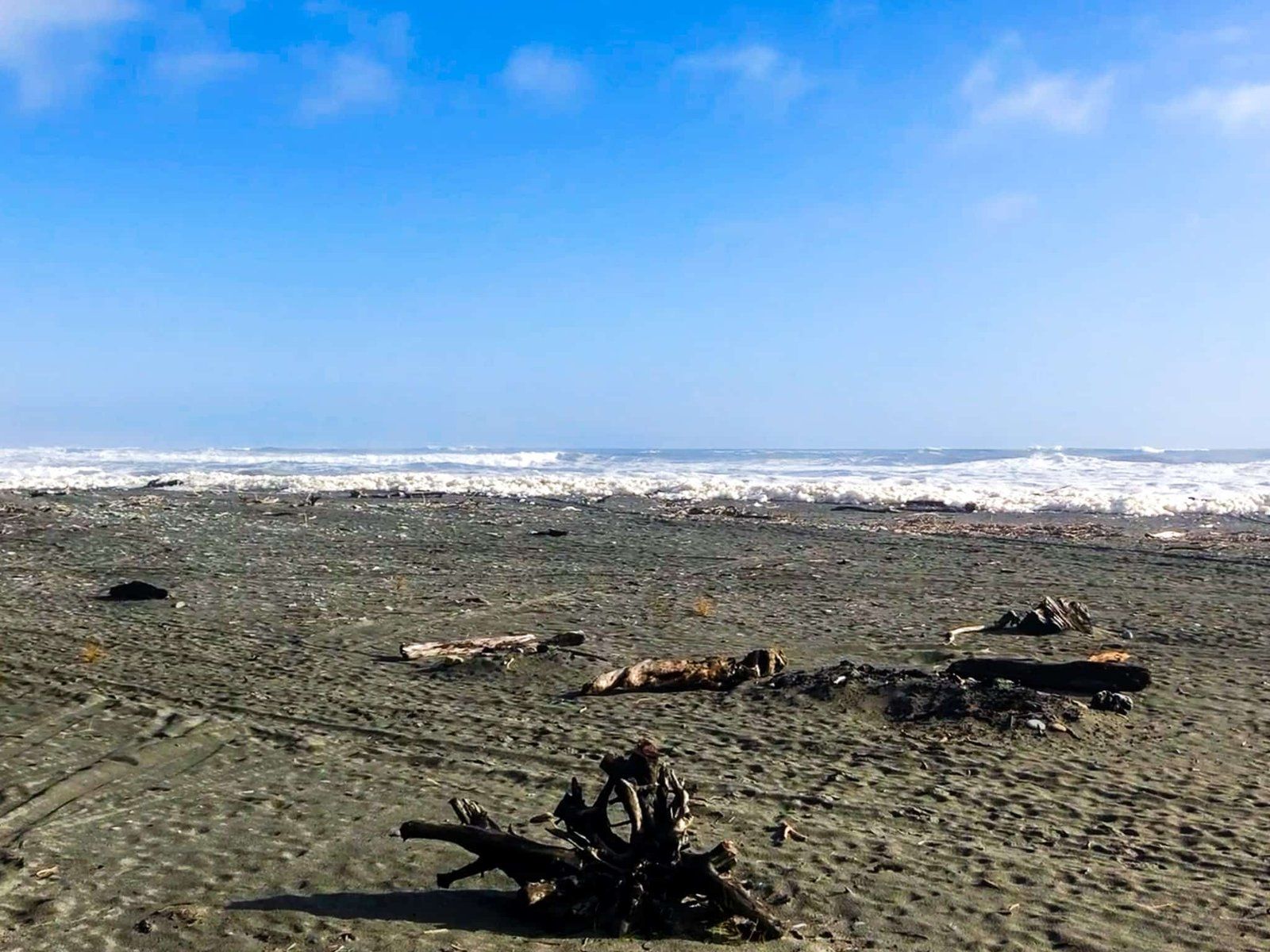
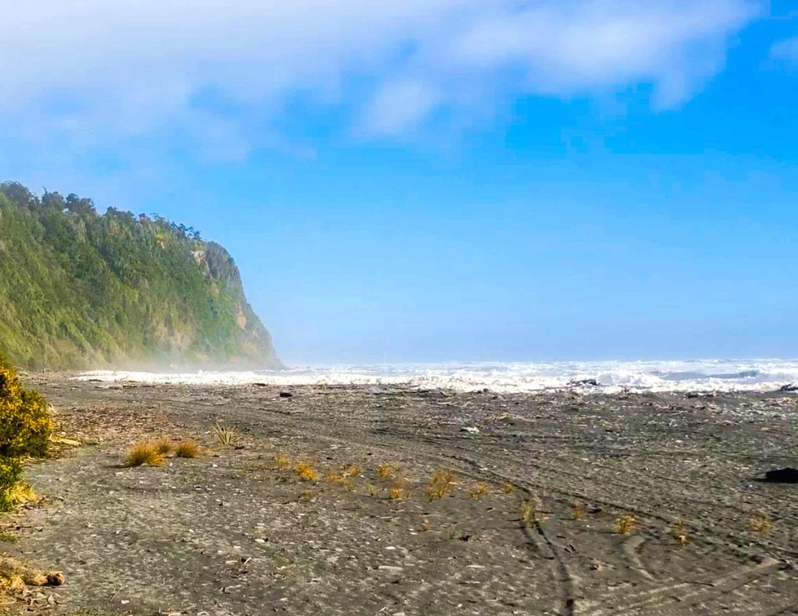
Ōkārito is a small coastal settlement in Glacier Country of Westland on NZ’s South Island. It is ten km along Forks Ōkārito Road from State Highway 6 and sits at the Ōkārito River mouth, the south end of the Ōkārito Lagoon, and adjacent wetlands.
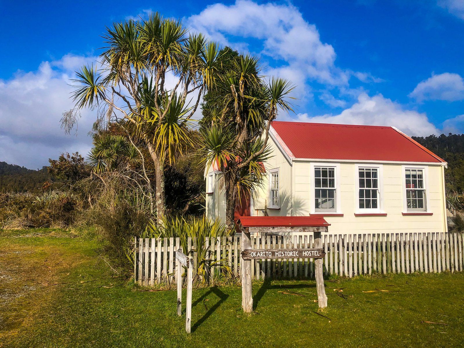
Māori occupied the area up to 600 years ago for seasonal harvesting. In 1860, all of Westland was purchased from local Māori, and in 1865, the town was established. Gold was discovered in the beach's black sand, and the rush was on. The area’s population peaked at around 4,000 with 25 hotels, three theatres, two banks, several general stores and a port! But by 1867, it was mostly over; today, about 30 people live there full-time. Donovan Store is thought to be the oldest building on the West Coast and survives as a restored active facility. There is also the Ōkārito Memorial Obelisk, which commemorates the purchase of Westland and the dates that Abel Tasman and James Cook sailed by in 1642 and 1770.
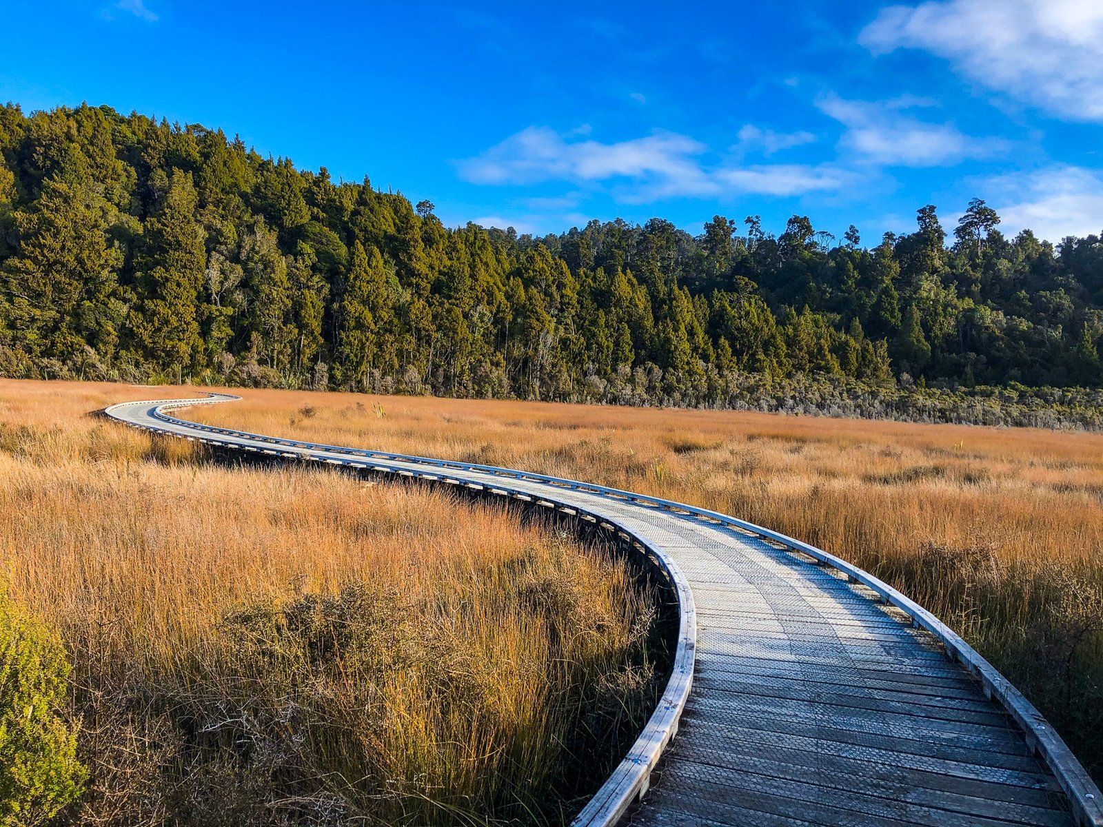
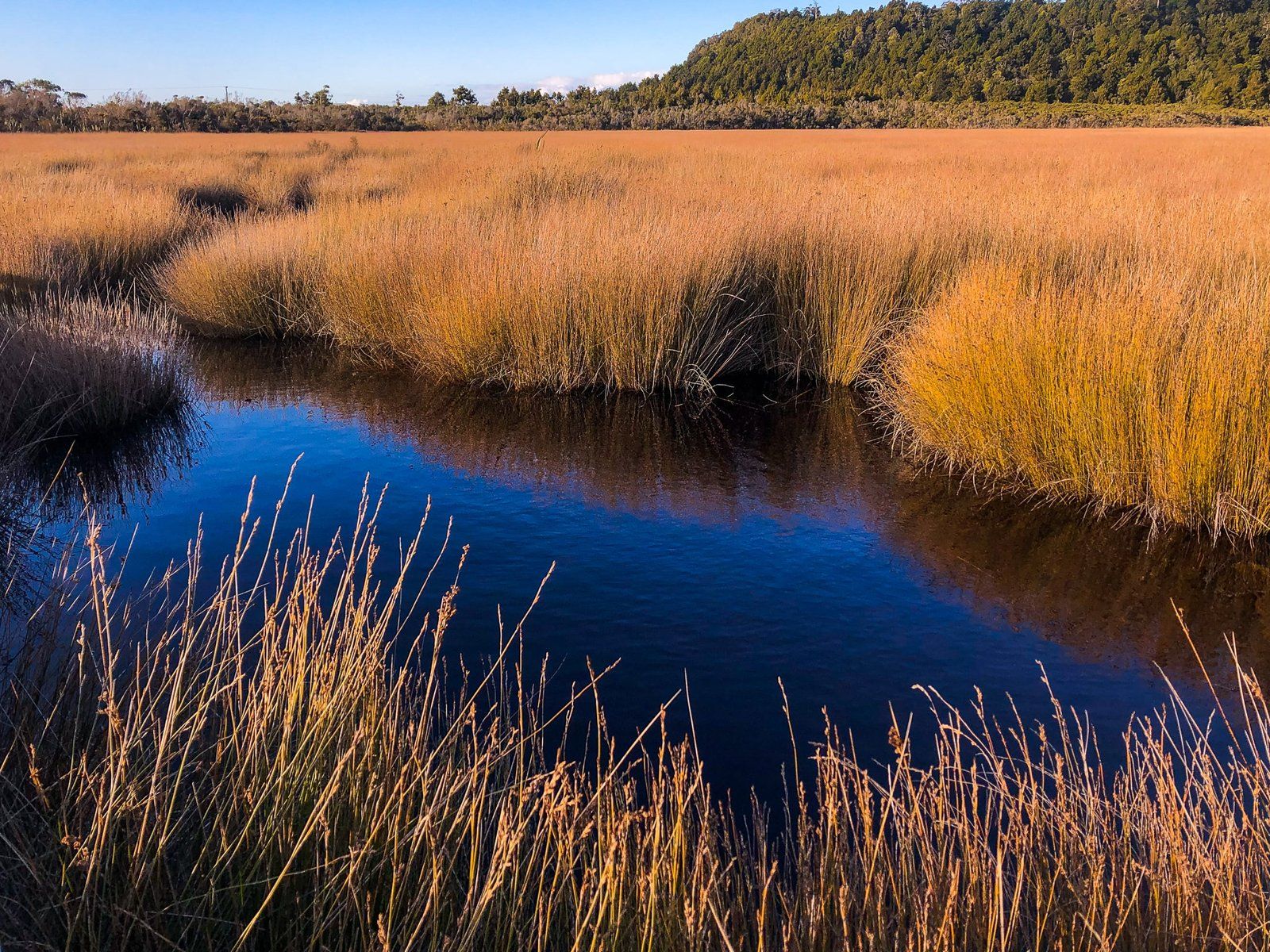
The gold rush did leave some excellent tracks. These include the short and easy Ōkārito Wetland Walk. This can be done as a loop with boardwalks over the wetland southeast of town. The track also connects to the Three Mile Pack Track along the forested south coast and the Trig Track. The Pack Track was the main way of accessing the town until a road was pushed through from the north.
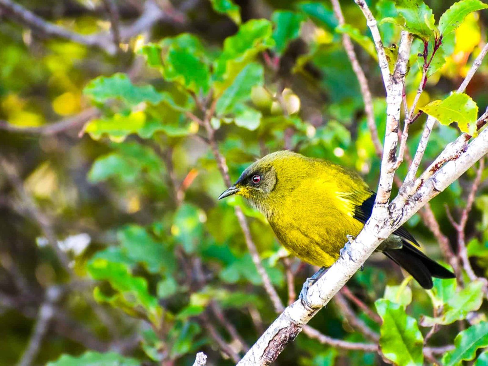
There are also commercial tours and kayak access around the lagoon. The rare Ōkārito kiwi or rowi reside near the town, and the lagoon is a key feeding ground for migratory white herons over spring and summer. The best way to see the herons is with a commercial operator out of Whataroa that can access the area north of the lagoon.
Thanks to Georgia (@the_cornishpixie) and Jan Rozen for the photos.