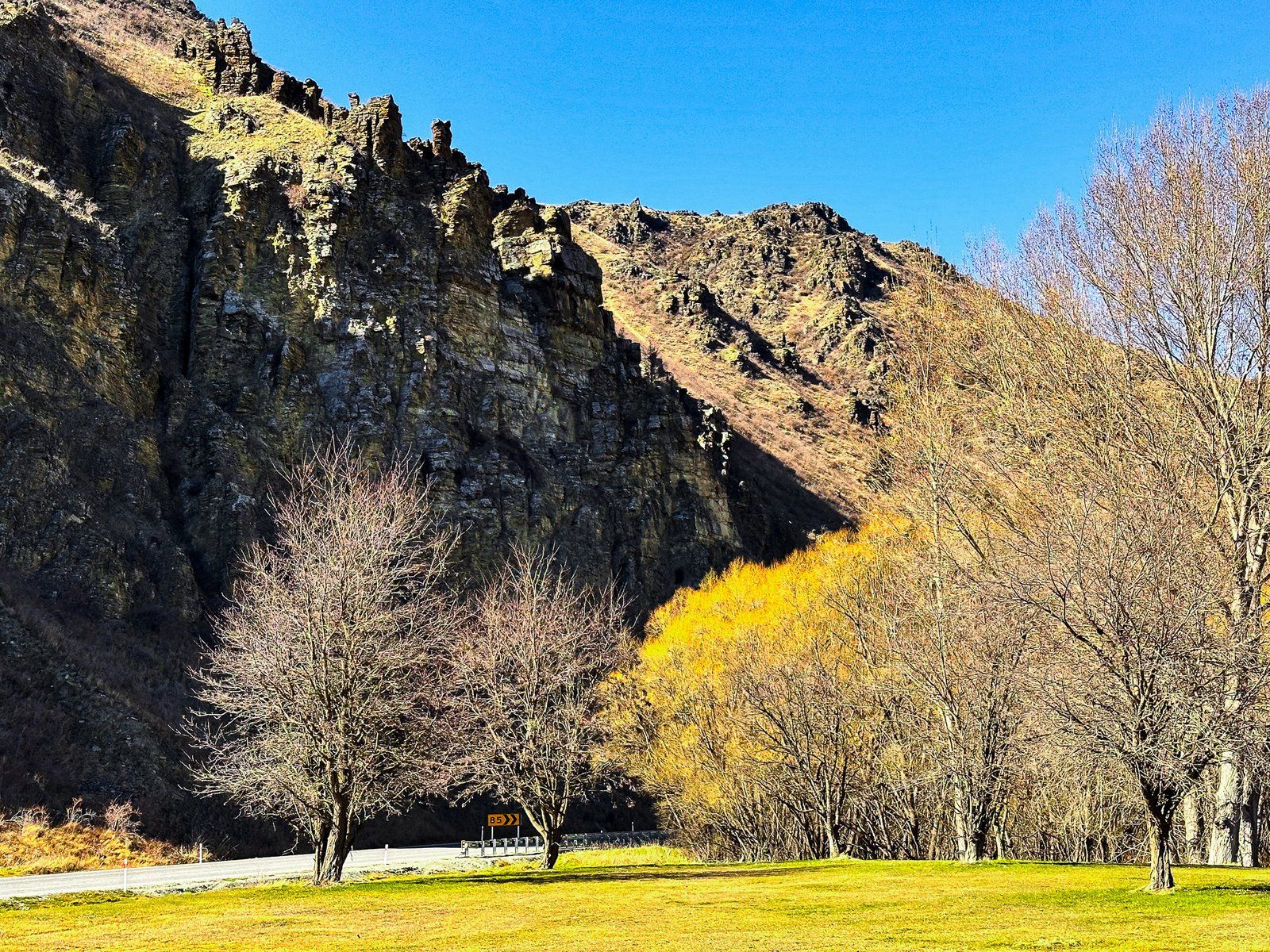
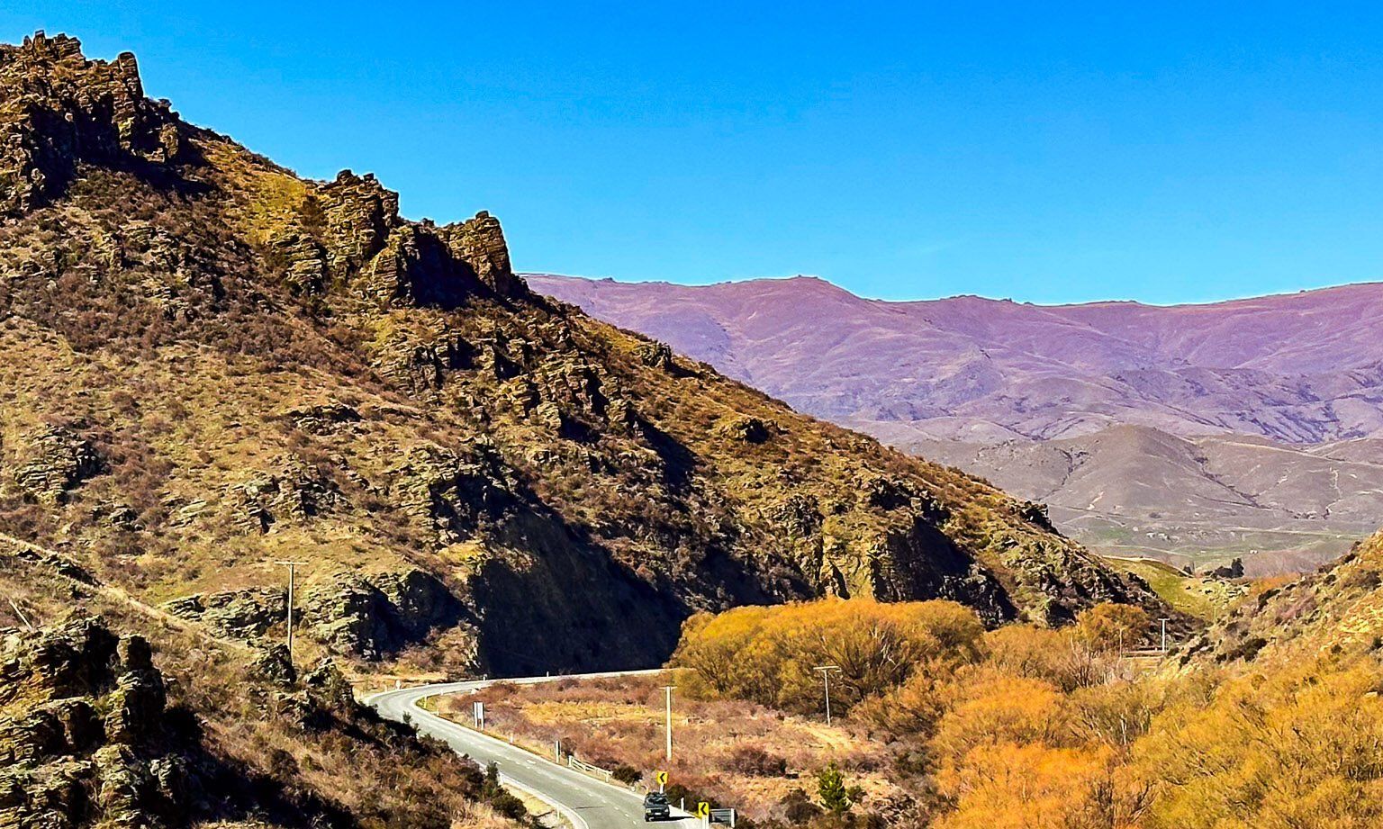
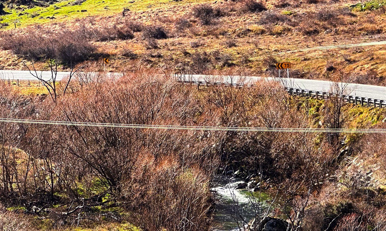
The Lindis River starts in the relatively dry mountains east of the Ahuriri Valley and Lake Hāwea. It has multiple small tributaries and flows south through mostly steep, remote terrain to meet State Highway 8 just before it climbs up to Lindis Pass. It then roughly follows the highway through canyons and valleys towards Tarras, where it enters the Clutha River.
Māori named the river Omakau, meaning belonging to a wife, husband, or object of affection. The lower part of the river was part of Tahu-a-Arapaoa, the ancient Māori trail that went over Lindis Pass to Lake Hāwea and then to the West Coast.
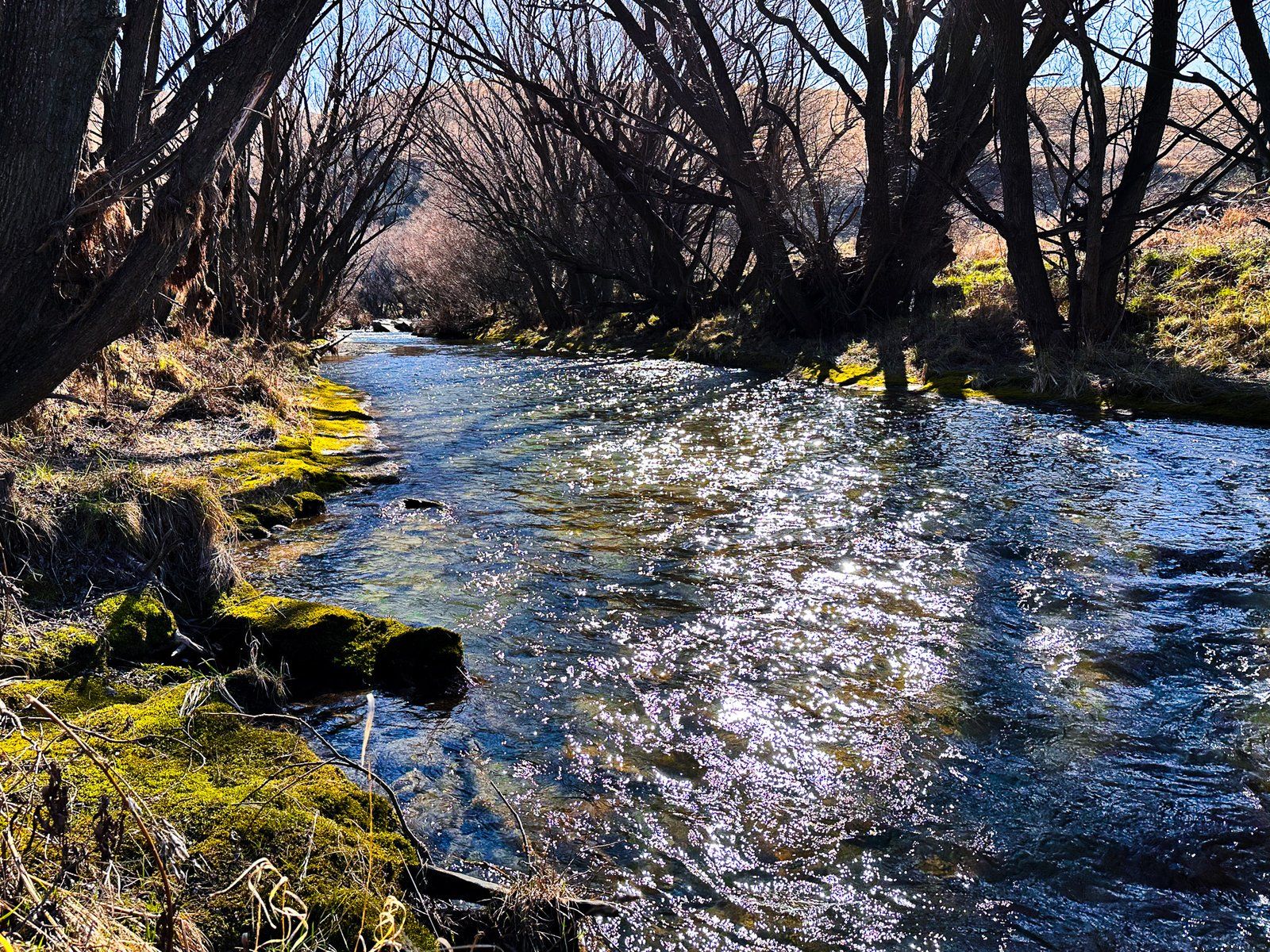
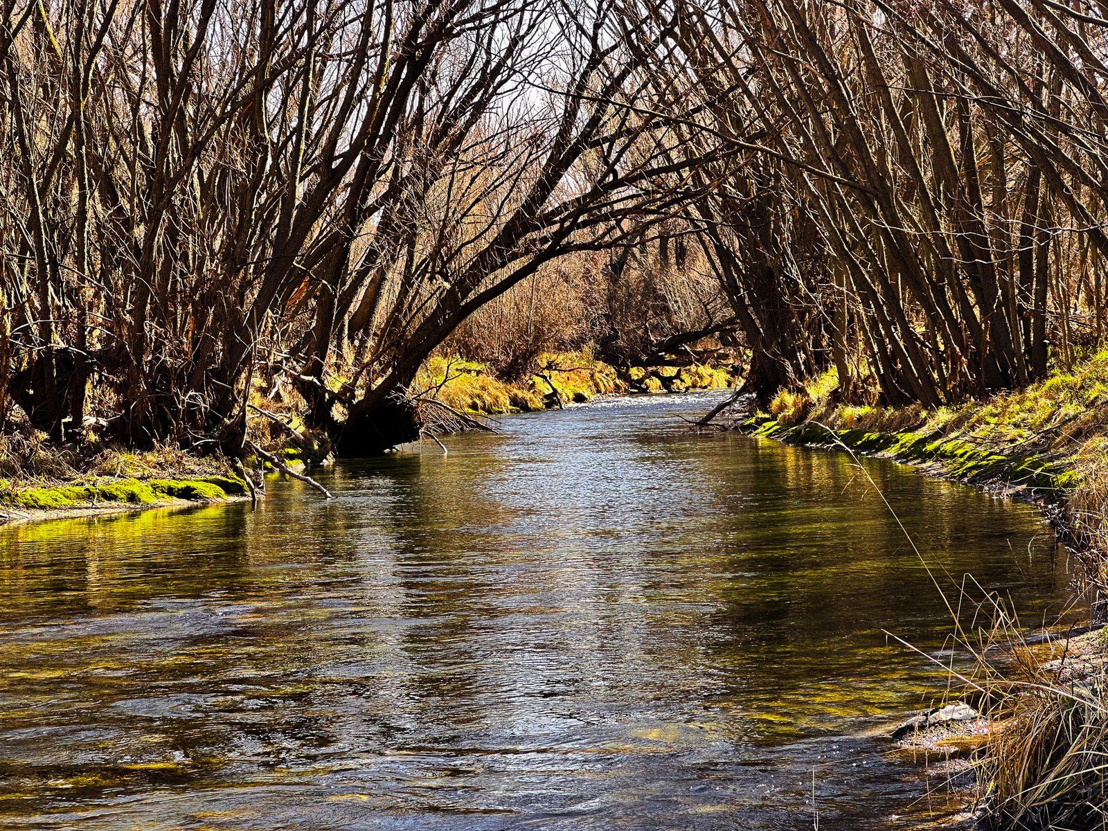
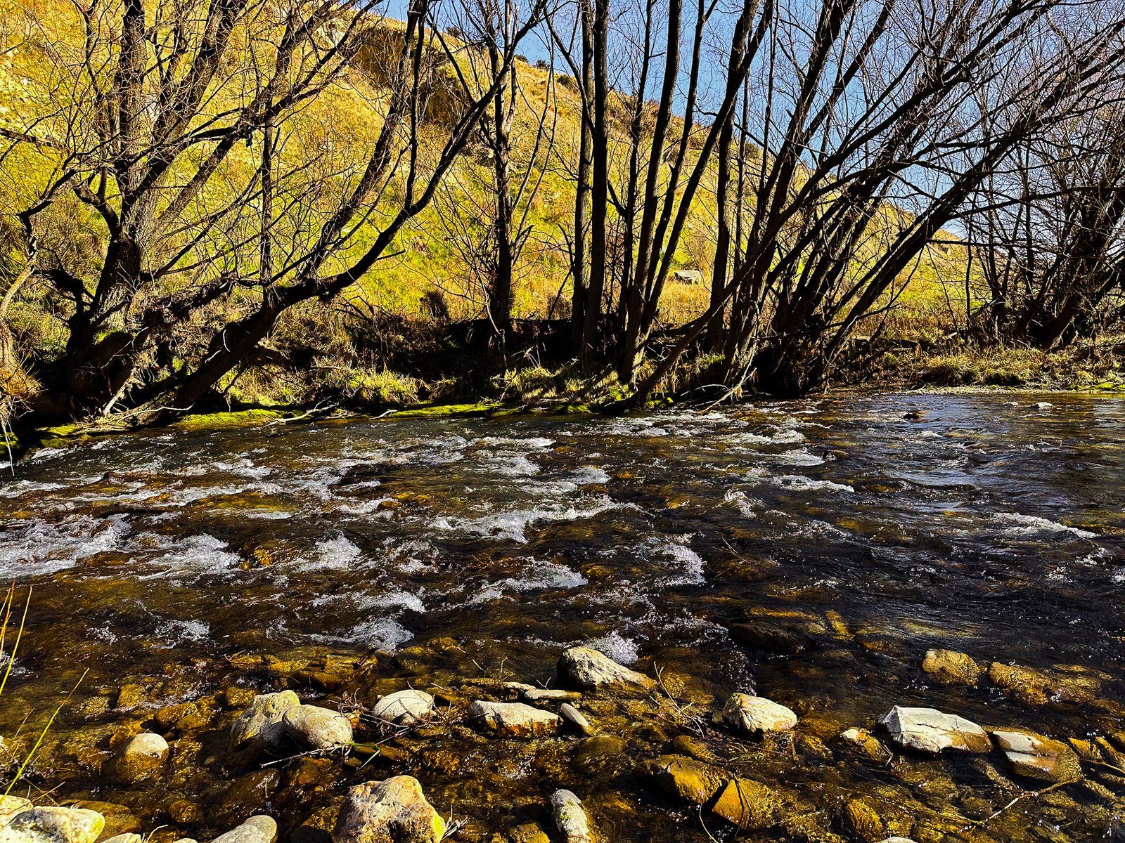
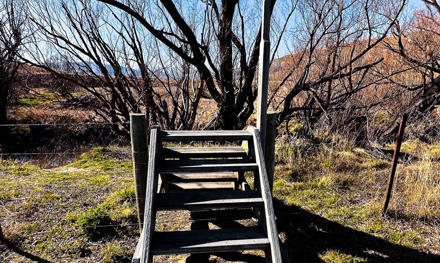
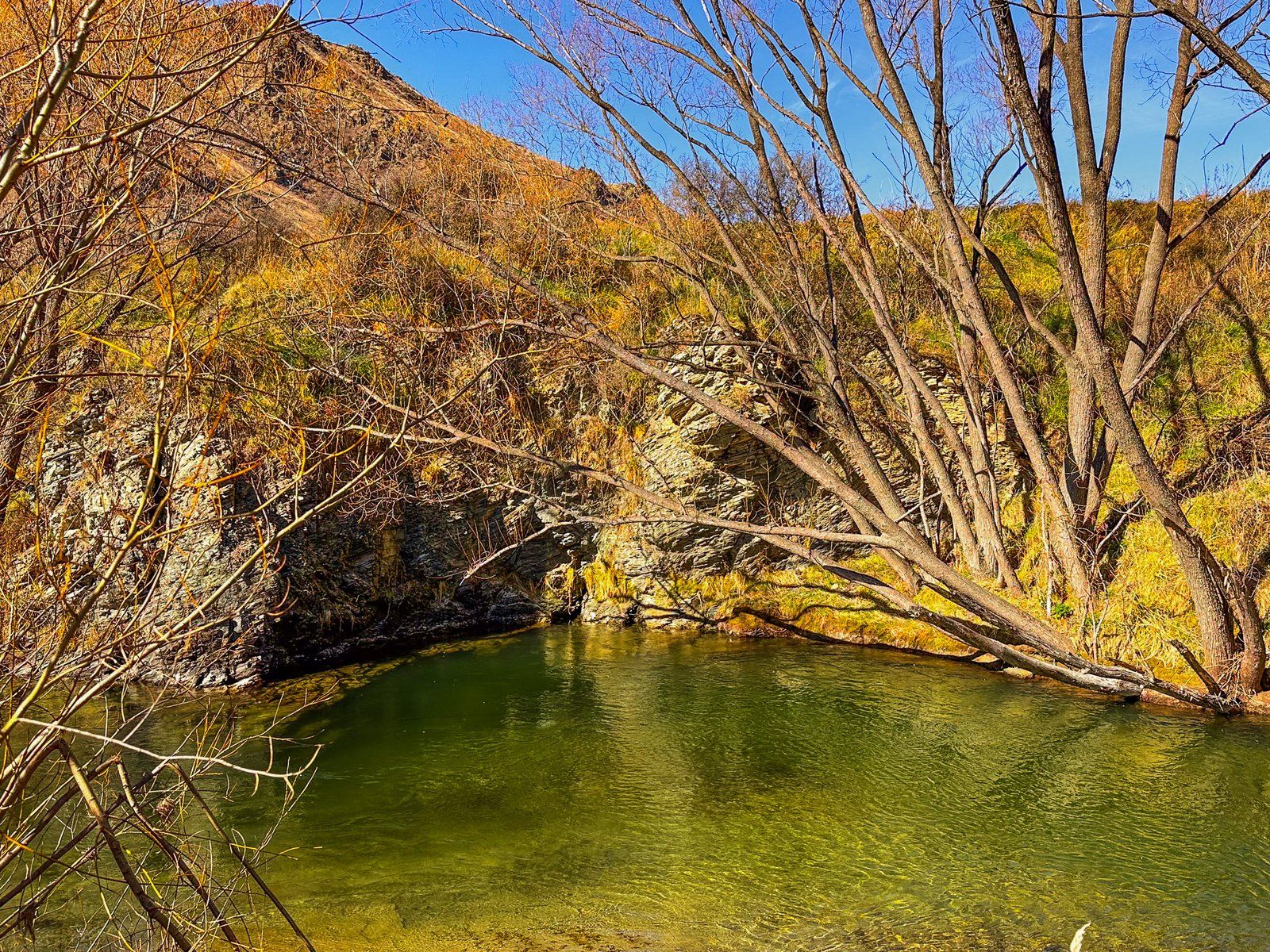
When Europeans arrived, they planted many willow trees along the river. These now dominate the banks and provide colour and shelter in an otherwise dry, tussock-clad, rocky and treeless environment. You can access the river in several places, but the best spots are around the old gold diggings in Goodger Flat. Take Old Faithful Road from State Highway 8 to Nine Mile Reserve. Access to the riverside from the campsite is reasonably obvious. Heading north and just beyond Goodger Flat is a rest area with access to the river. Walk through the trees amongst the gravel diggings and then along the river to find a spot for a picnic.