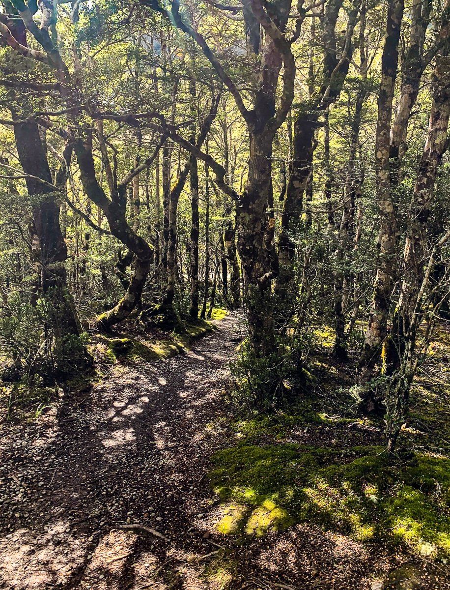
The drive from Hanmer Springs to Lewis Pass in Canterbury is classic, remote South Island – river valleys, beech forests and mountains. After leaving the Hanmer Plain, the road follows a winding route along several river valleys before reaching a high point at Lewis Pass (about 900 metres). Just to the southeast of the high point, there is a car park with a sign marking the pass.
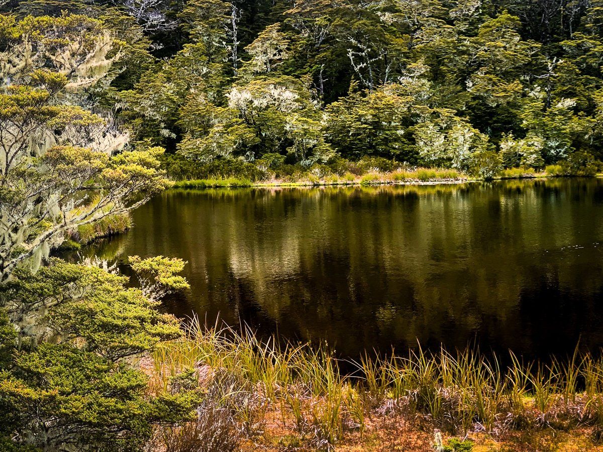
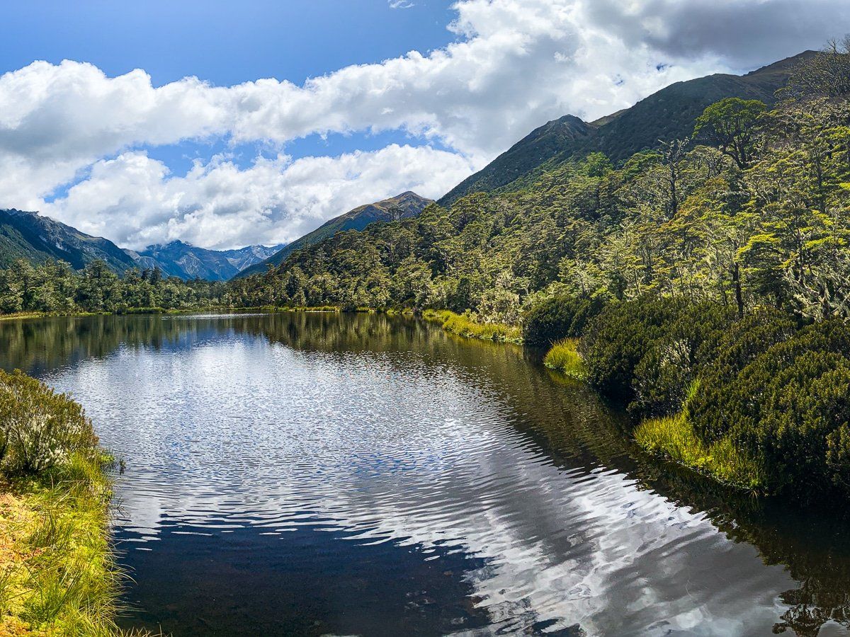
There is a short, easy walk to a tarn (small mountain lake) and then through high country native shrubbery and beech trees. It is very pretty, especially in spring and early summer, with flowering. This is also one of the two multi-day St James Walkway access points. Opposite the car park is the Lewis Tops Track, but you need 4 to 5 hours to do this.
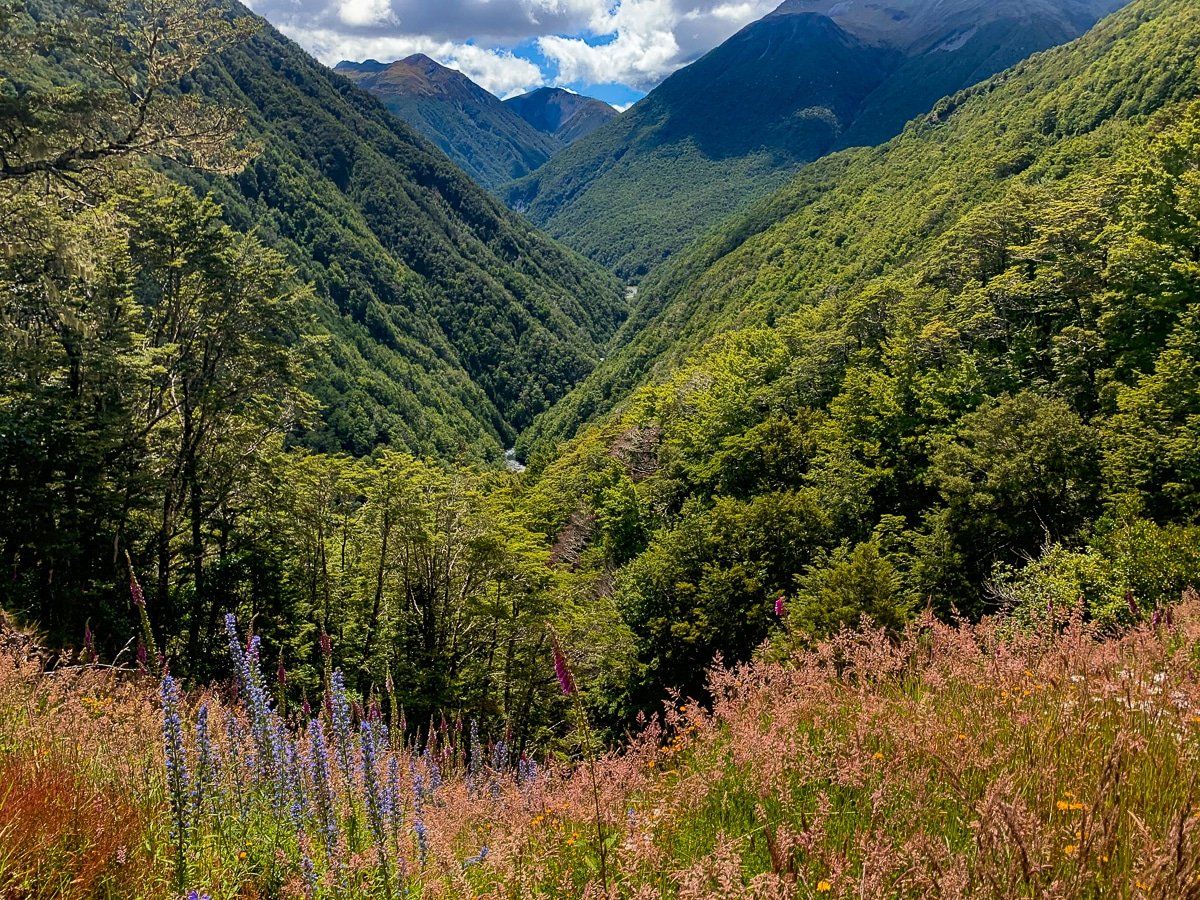
Just beyond the Lewis Pass high point is a safe stopping area with a great view up to Cannibal Gorge and the northwest side of the St James Walkway. There are walking tracks on both sides of the pass, from half-day hikes to multi-day tramps. Some have campsites, like Lake Daniell and Boyle Village. Do extra planning and research, as these walks vary greatly in effort and intensity. We suggest starting with topo maps and the DOC website. In our case, we chose the Lake Daniell Track.