Lake Hauroko is the most remote road-accessible glacial lake in the Fiordland region, about 35 km along Lillburn Valley Road from the main highway. The turnoff is signposted just south of Clifden and about 12 km north of Tuatapere. The side road is sealed for about 15 km as it runs through farmland, then turns into a metal road to the lake. The last few km beyond the DOC Thicket Burn Campground wind through beech forest in Fiordland National Park.
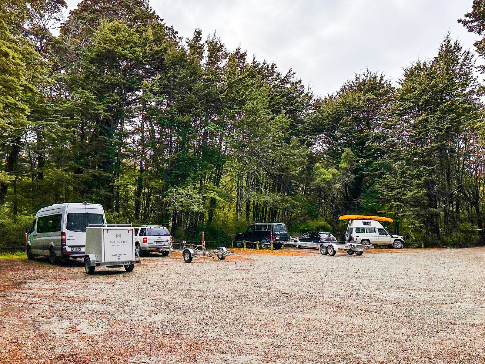
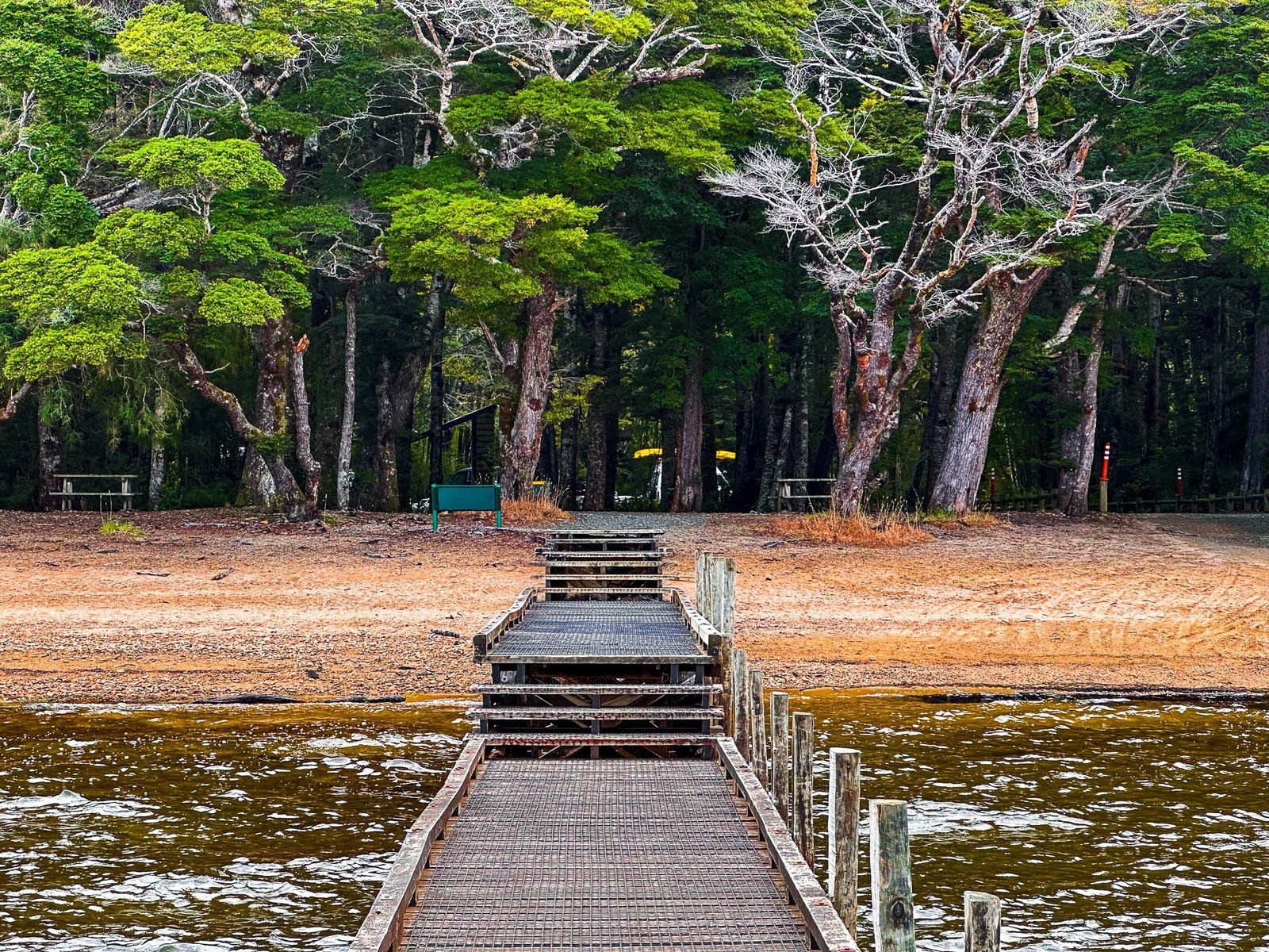
Oddly, there are an unusually large number of road warning signs – the upcoming metal road, stray animals, windy and narrow and so on. But in practice, the road is in good condition with few blind spots. There is a reasonably large car park in the forest at the lake, allowing plenty of room for those towing boats. The boat ramp and a jetty are immediately in front of the car park.
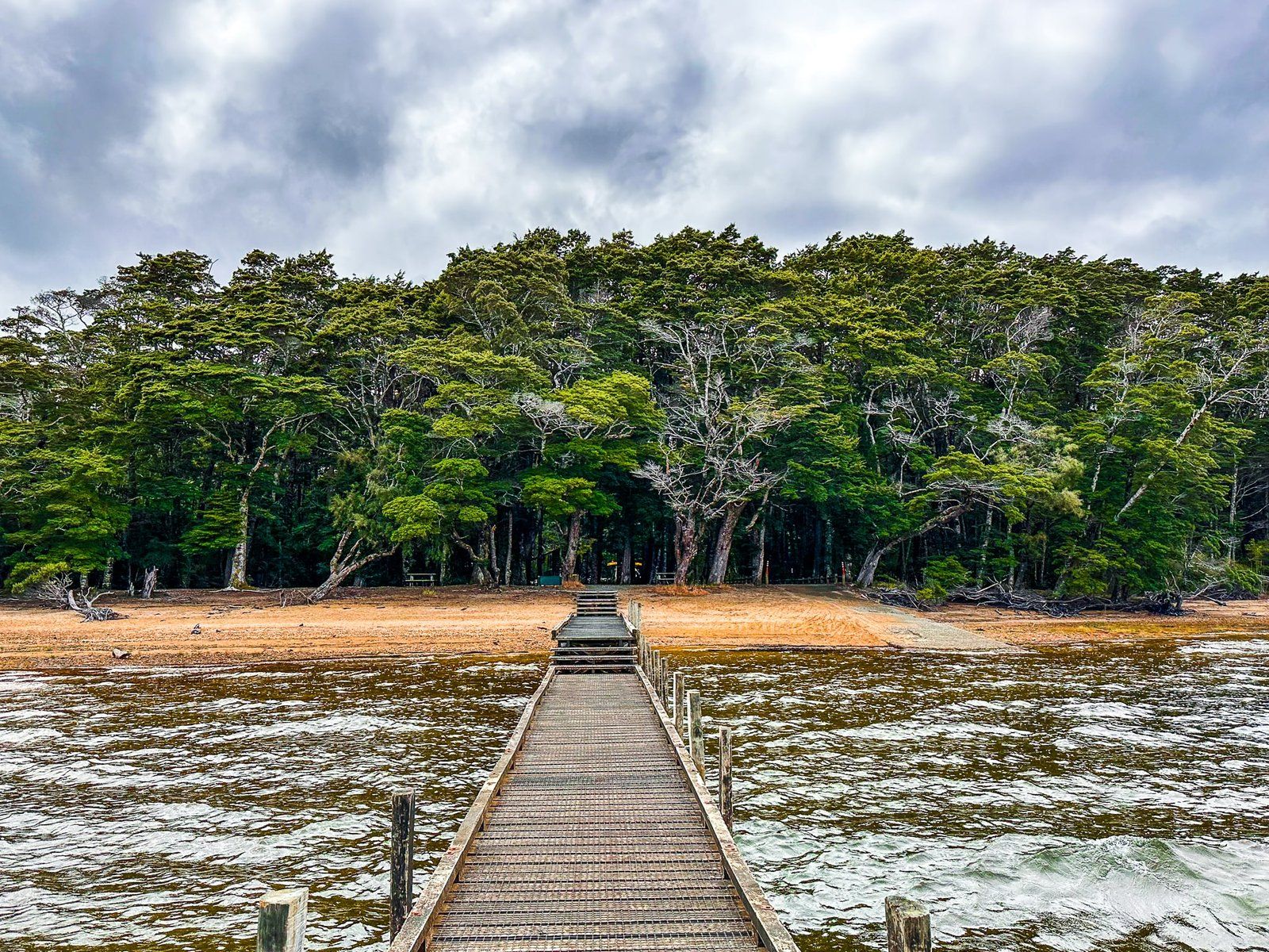
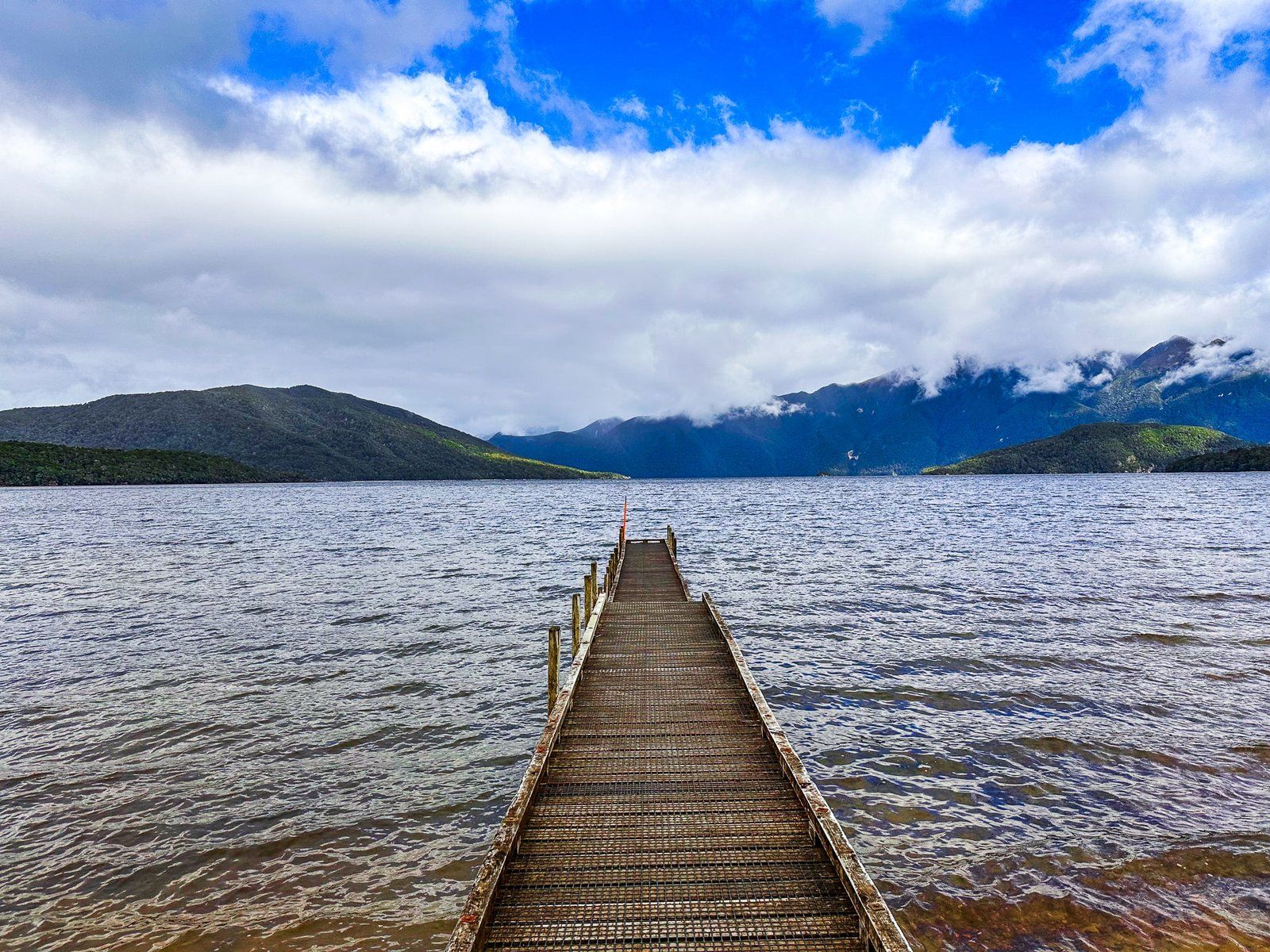
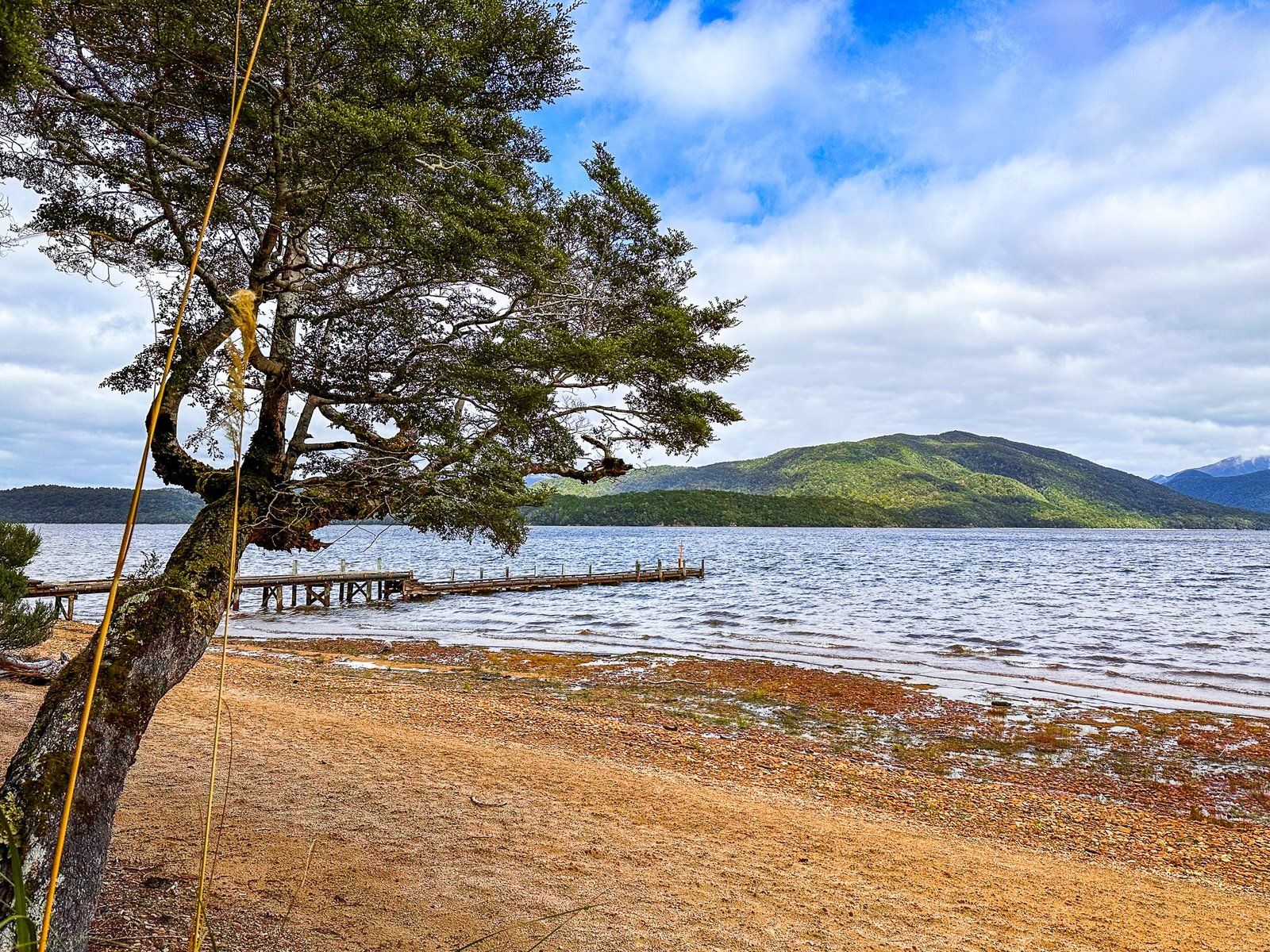
Walk out onto the jetty for the best view of the lake and surroundings. It does not look like it from there, but it is the deepest lake in NZ (462 metres) and one of the deepest in the world.
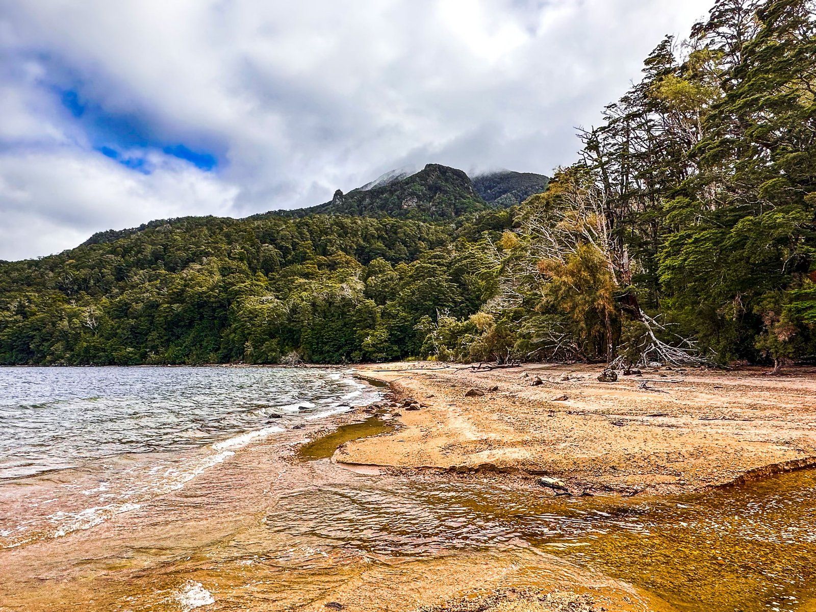
From the jetty, follow the beach to the west to find the Lake Hauroko Lookout Track entrance. This runs through a flat and very pretty section of lakeside bush, with access to sandier sections of the beach in several places. After 15 minutes, it climbs steeply as a rough tramping track, up 300 metres to the viewpoint at 556 metres. You need to allow three hours to get up and back, and it’s best done in good weather.