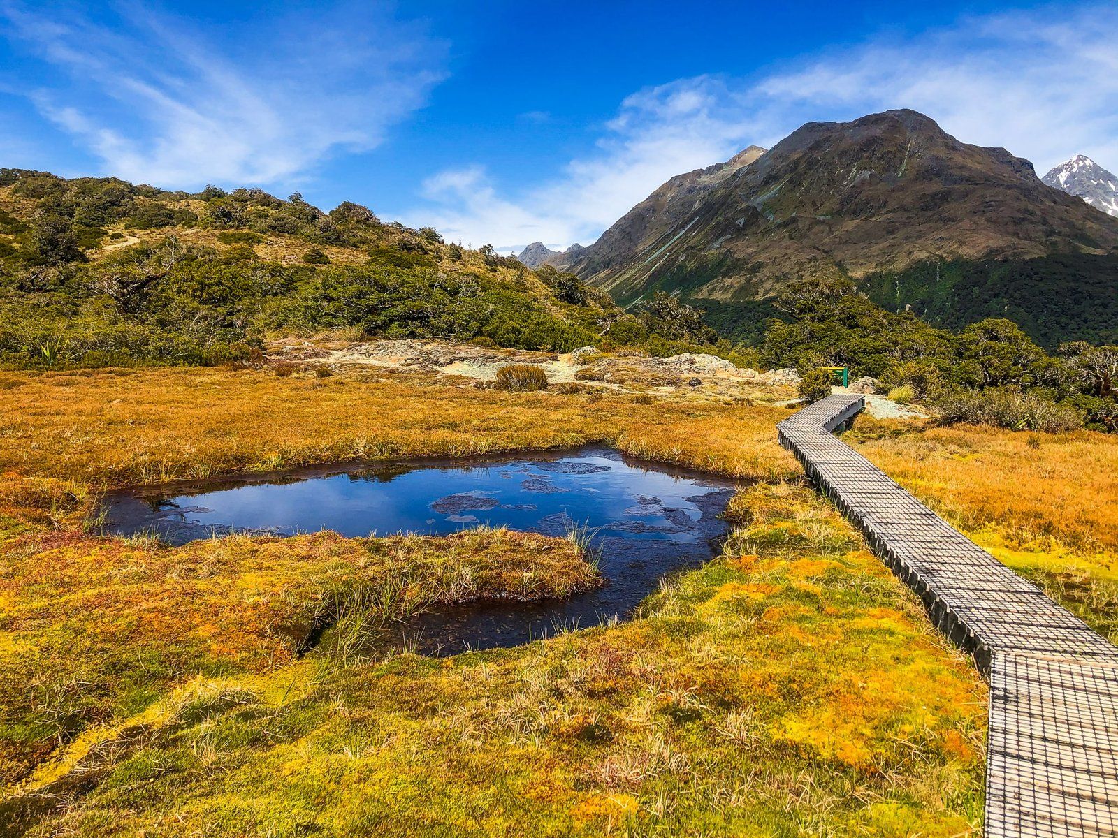
Key Summit is on the west side of the Routeburn Track. It is a fabulous walk with majestic views and a beautiful natural alpine garden with a wetland and tarn at the high point. It is also easy to do as a day trip from The Divide car park on Te Anau Milford Highway, hence particularly popular.
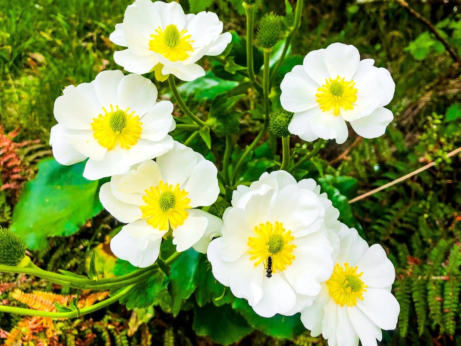
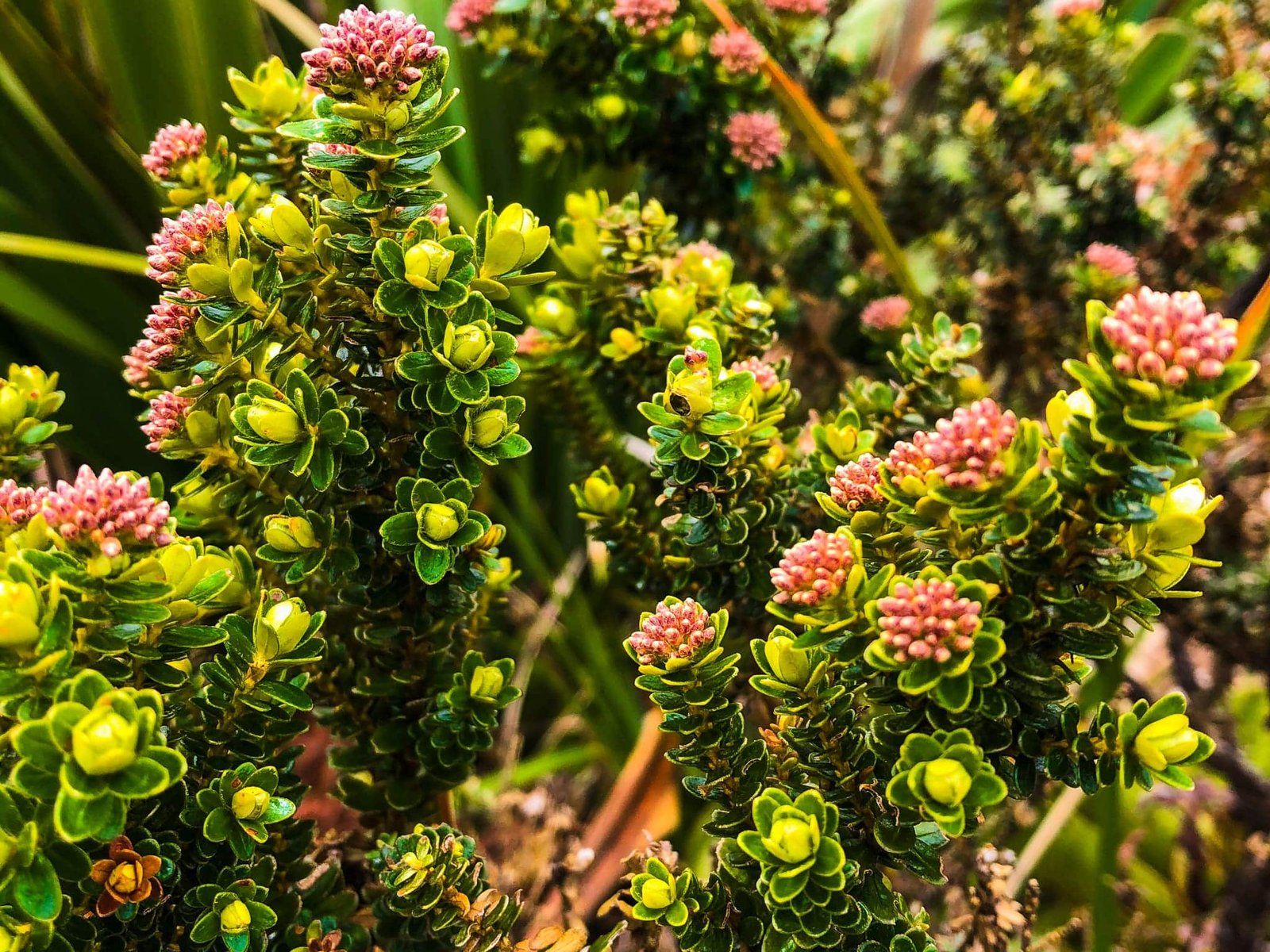
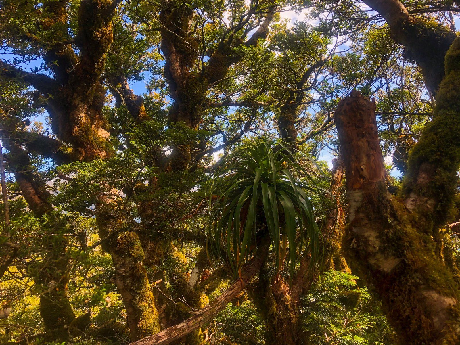
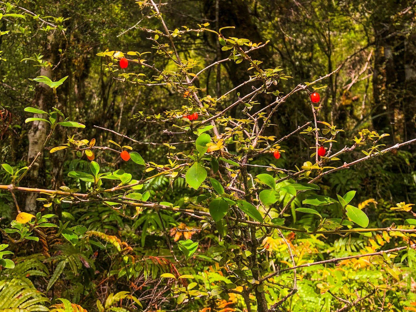
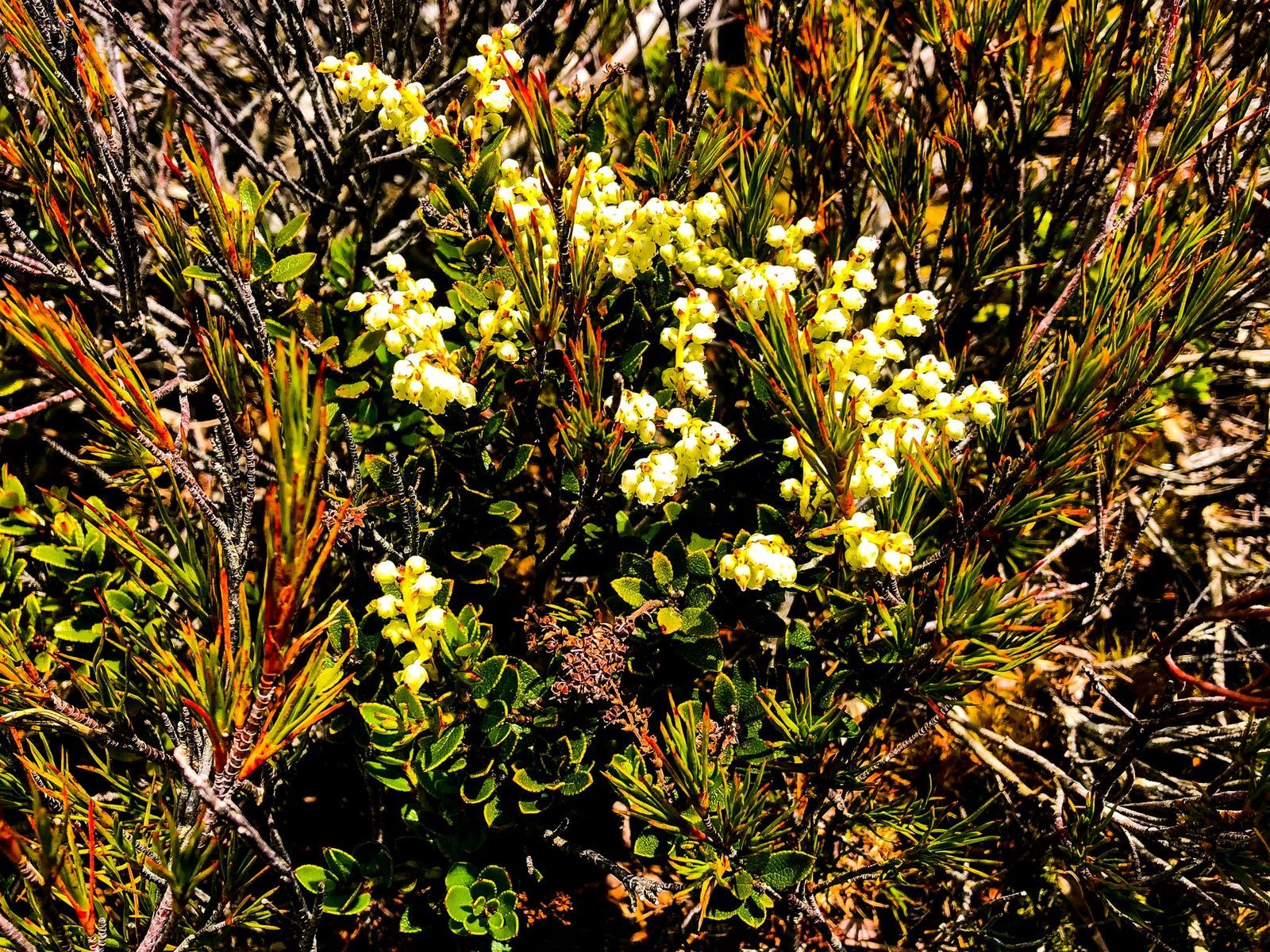
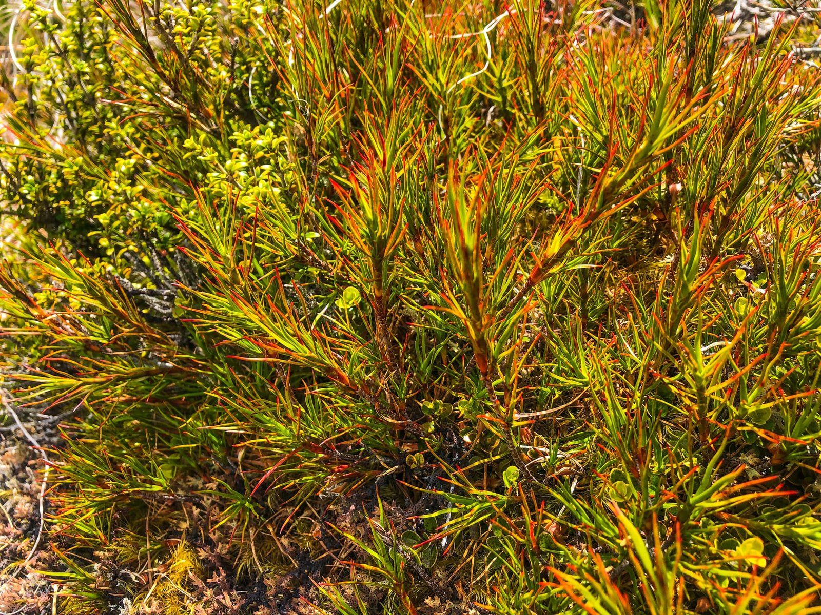
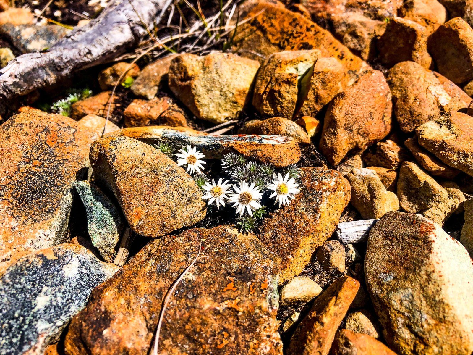
Starting at 600 metres, the Routeburn Track winds through forest around a north-facing point for about two kilometres to peak at about 800 metres. From there, it is another 120-metre climb over a km through open land to Key Summit, at the top of the point. The track is excellent and only takes a little over an hour each way. At the top is a short loop track and boardwalk around the wetland with an array of native shrubs and wildflowers. This includes giant Mount Cook buttercups and various native daisies.
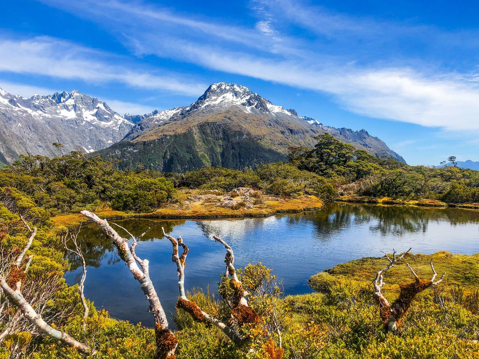
The view is 360 degrees. The Ailsa Mountains are immediately to the east, and the larger Humboldt Mountains are to the northeast. The Darran Mountains are to the west/northwest, including Mount Tutoko at 2,723 metres. The Hollyford Valley bisects these ranges to the north. Immediately to the south is the Livingstone Mountains, on the east side of the Eglinton Valley. Few places in Aotearoa provide such an exceptional experience for a relatively modest effort.
When planning the walk, keep in mind that it takes an hour to drive to The Divide from Te Anau. As it is an alpine environment, be weather-aware and prepared for sudden changes.