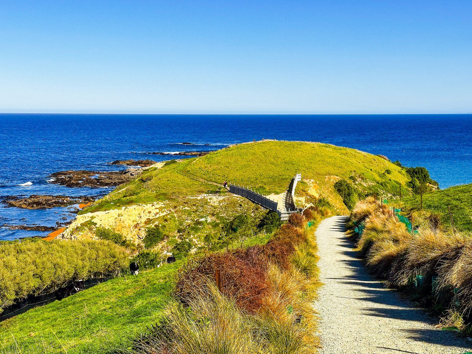
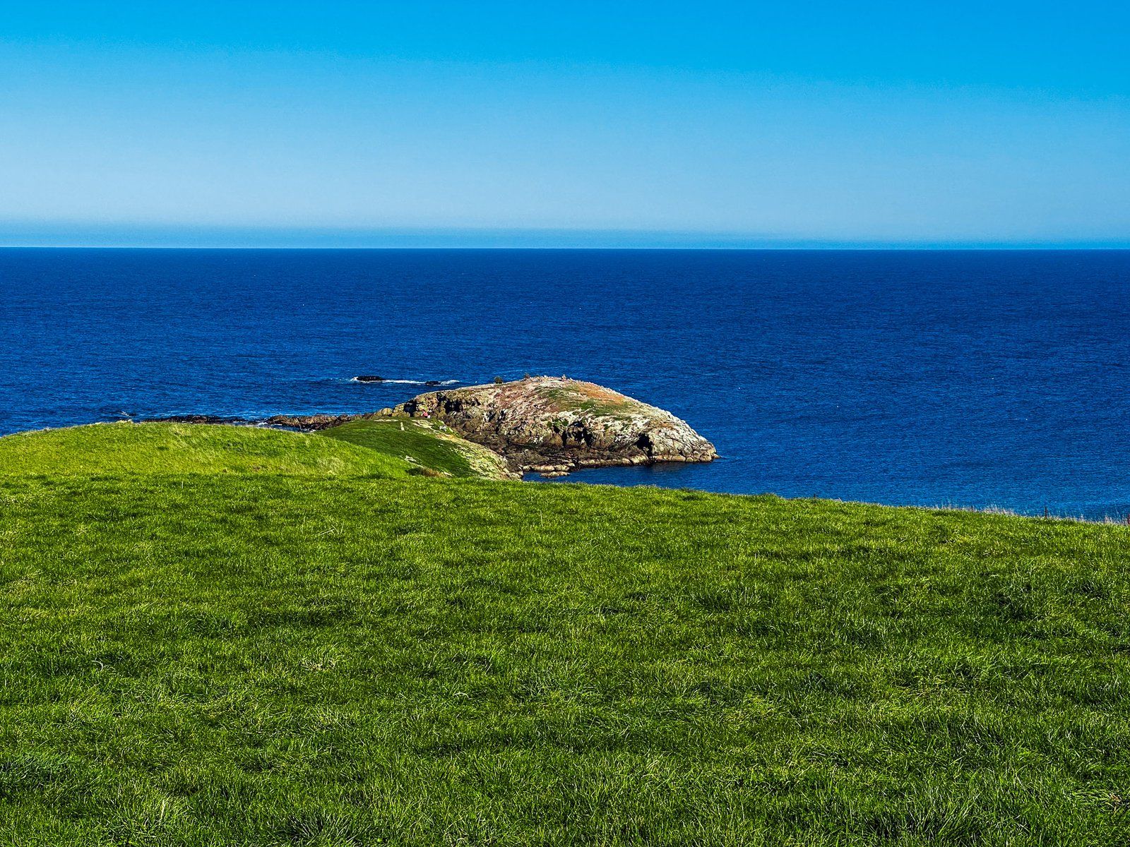
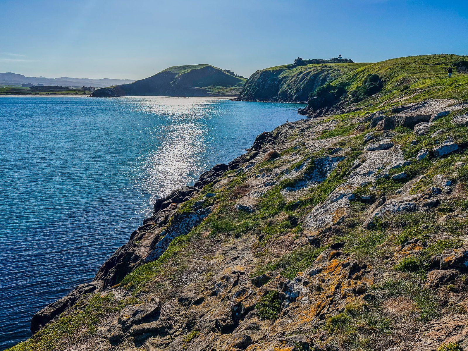
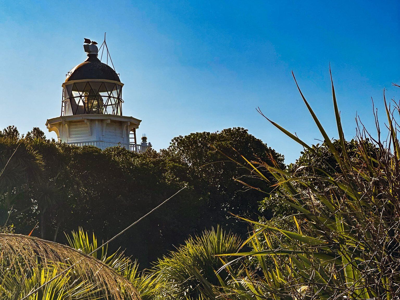
Kātiki Point is at the southern tip of the Moeraki Peninsula on the North Otago Coast. It combines a fantastic coastal viewpoint with natural experiences and Māori history for a relatively unknown place. The track starts at the end of Lighthouse Road and heads along the ridge towards the point. Most of the surrounding land is farmed, with a section of replanted native shrubs. But this provides excellent views south towards Kātiki Beach.
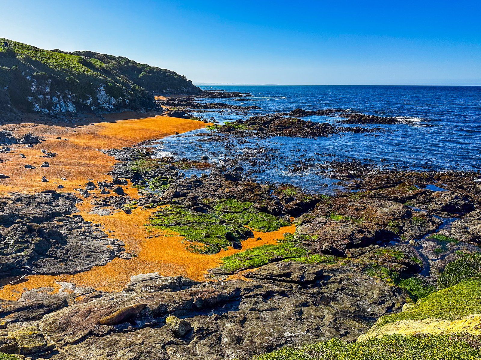
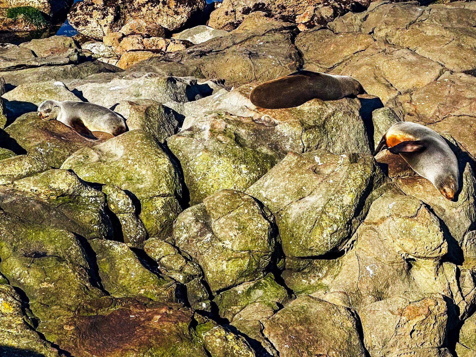
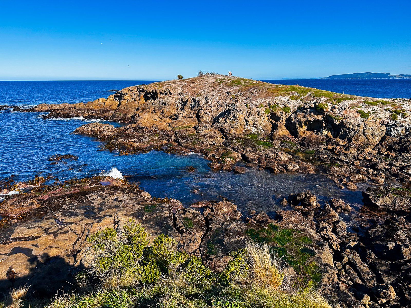
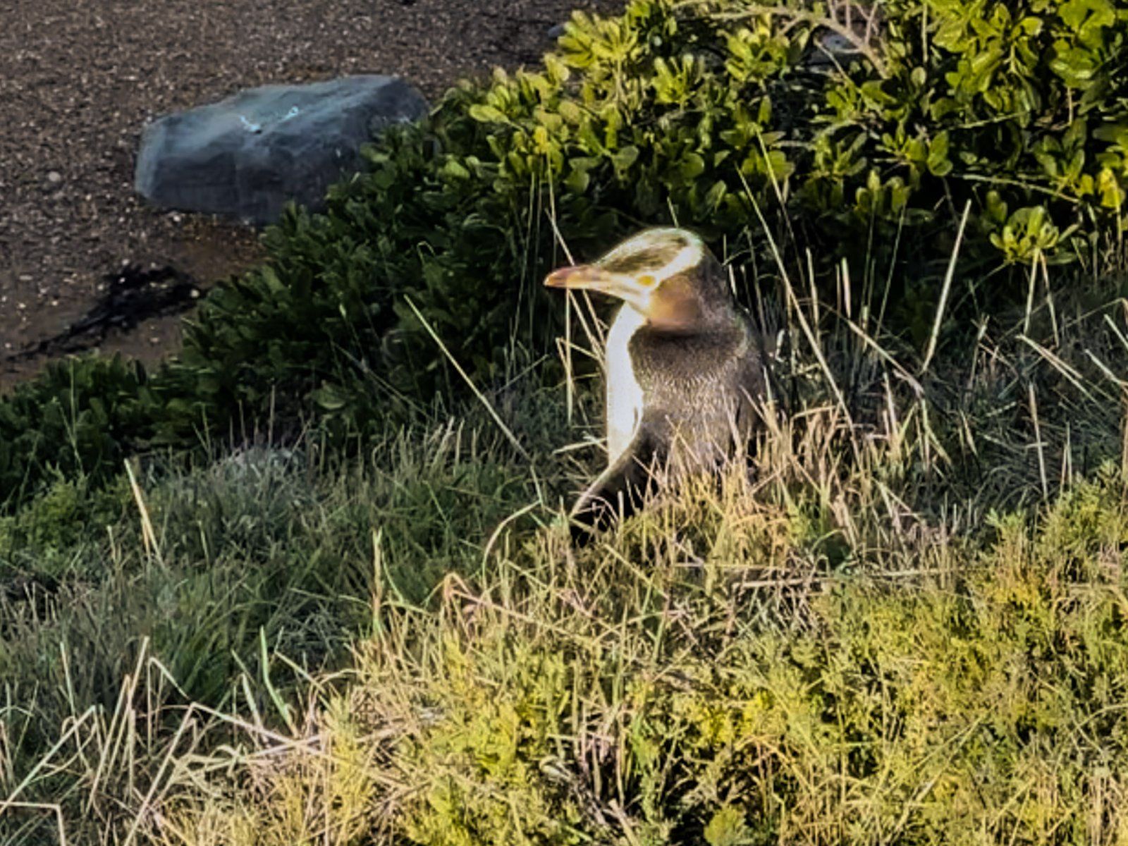
As you reach the Point, a fenced-off slope descends to several small orange sand beaches, separated by rocky platforms and reefs on the east side. Expect to see many kekeno (fur seals) hanging out. Not so common but present are hoiho (yellow-eyed penguins). Continue along the Point to the end, then cross over to the west side for the walk back. The rocky slope to the water is steeper, with a cliff edge. Still, the kekeno appeared to like it.
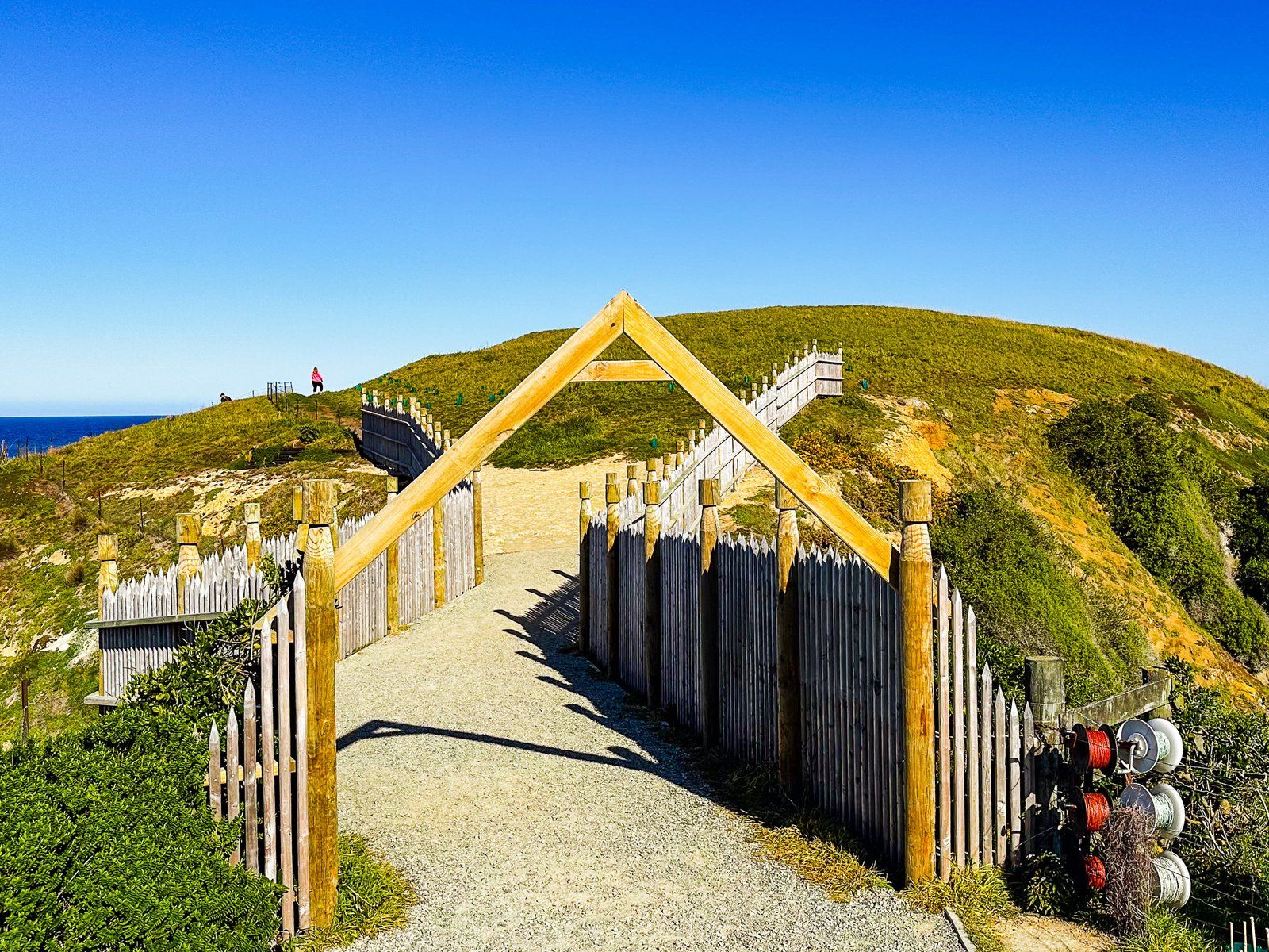
The point was also the location of a major pā, called Te Raka-a-hineatua, marked by the entrance and protective palisade at the start of the Point. It was the best-developed southern pā, with terraces and rectangular houses with stone fireplaces. It was built by Taoka, a famous chief of the late 1600s/1700s, after a series of skirmishes with Tāwhaki-te-Raki further north. Shortly after the pā was completed, Tāwhaki-te-Raki came down from Kaikōura with a war party. Taoka won the battle, and Te Hakopa and the war party were eaten! Taoka also built pā at the Ashburton River and near Timaru.