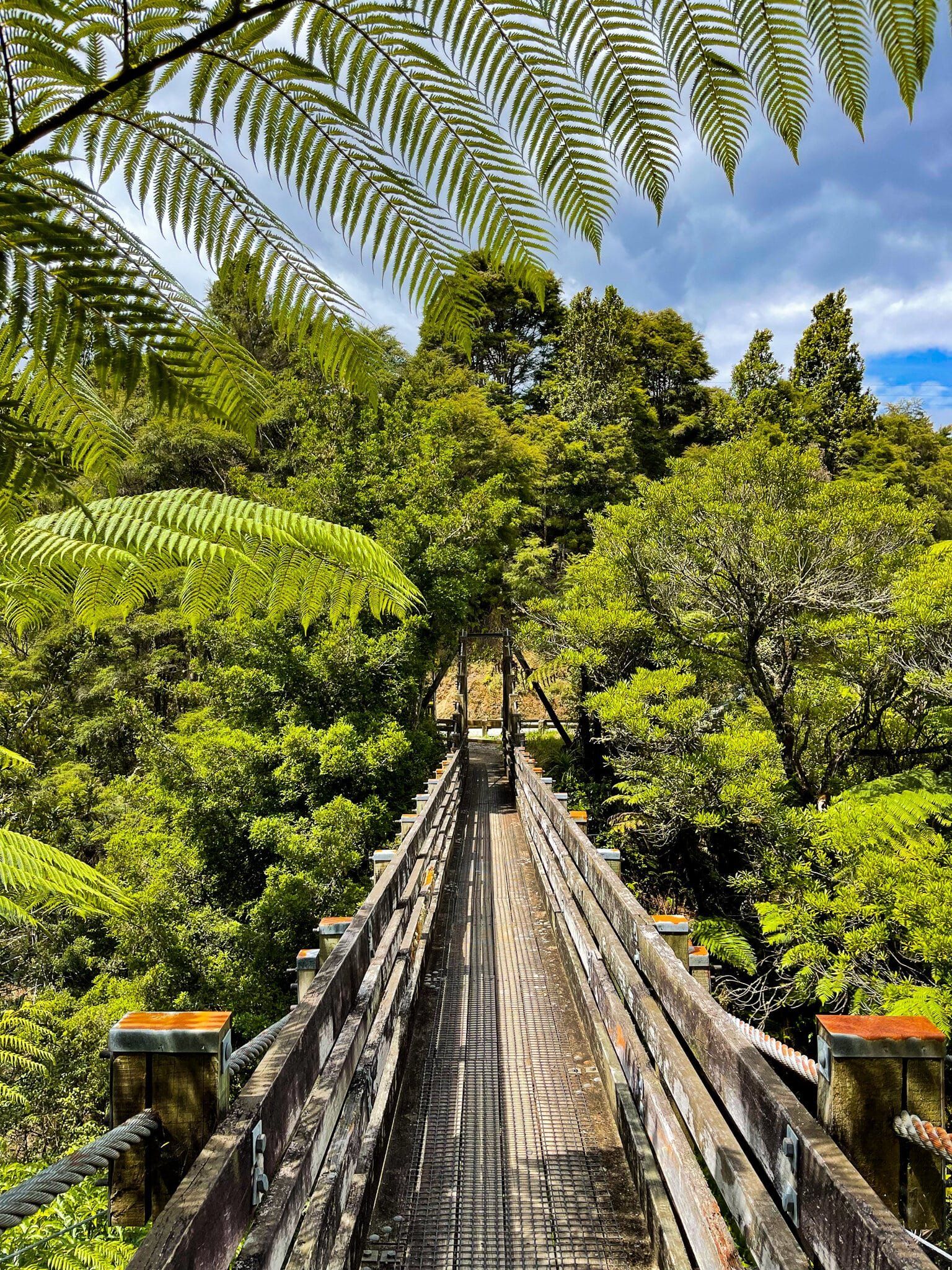
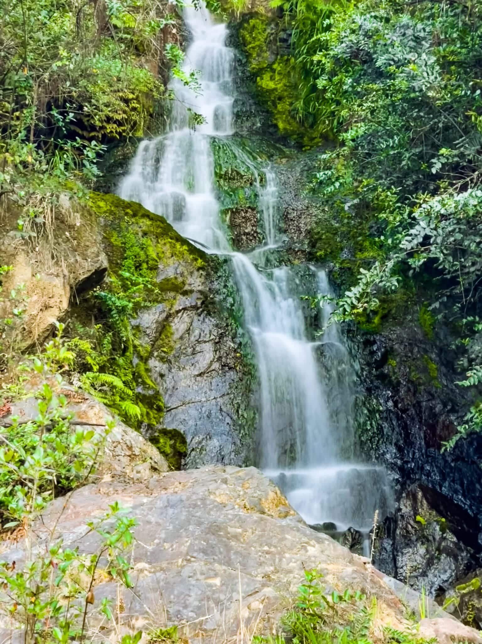
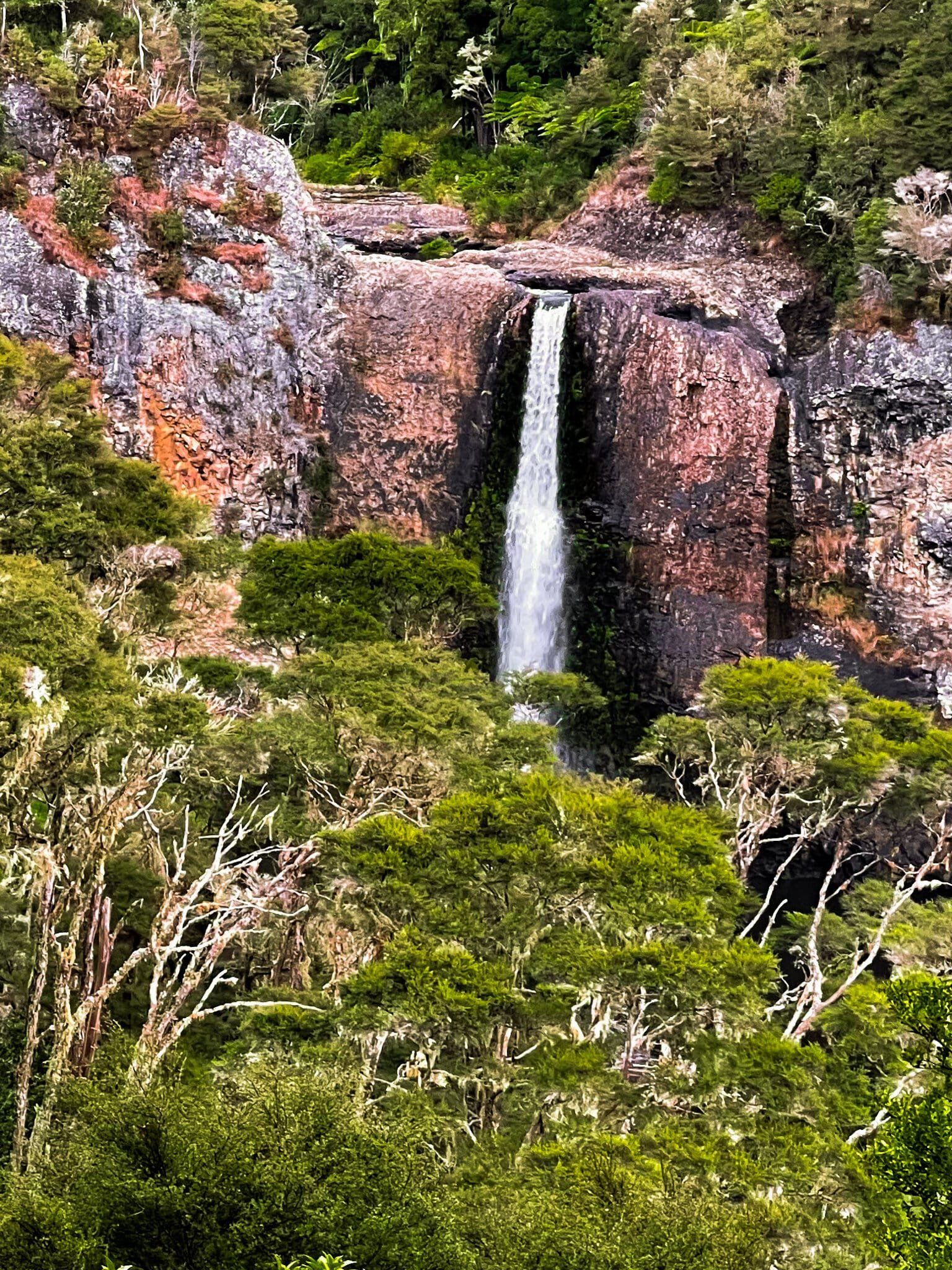
The Hunua Ranges mark the separation of Auckland from the Waikato, straddling both sides of the regional border. The northeast side of the Ranges drops steeply down to the Firth of Thames. They cover around 250 square km, and over 70% of the area sits within Hunua Regional Park, one of the 28 Auckland City regional parks. There are various routes into the area, but we suggest Hunua Road from Papakura through the pretty Hunua Gorge. Watch out for stopping points, including at an easy-to-miss waterfall.
The Ranges consist of often steep hills, with the high point, Kohukohunui, at 688 metres. The area is similar to the Waitākere Ranges in west Auckland and is mostly covered in forest regrowth, including kauri. As with the Waitākere, it was heavily logged for ancient kauri once Europeans arrived.
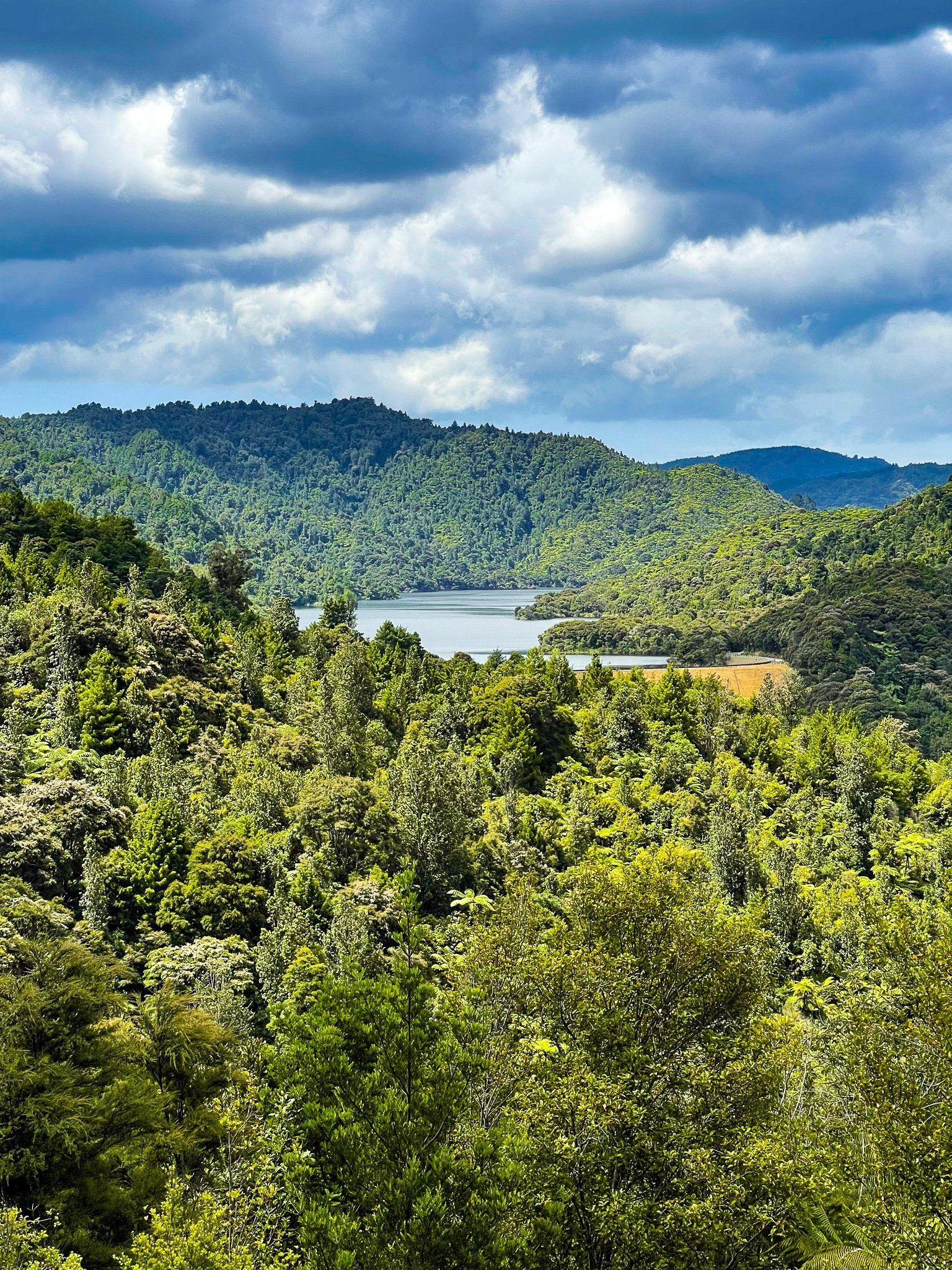
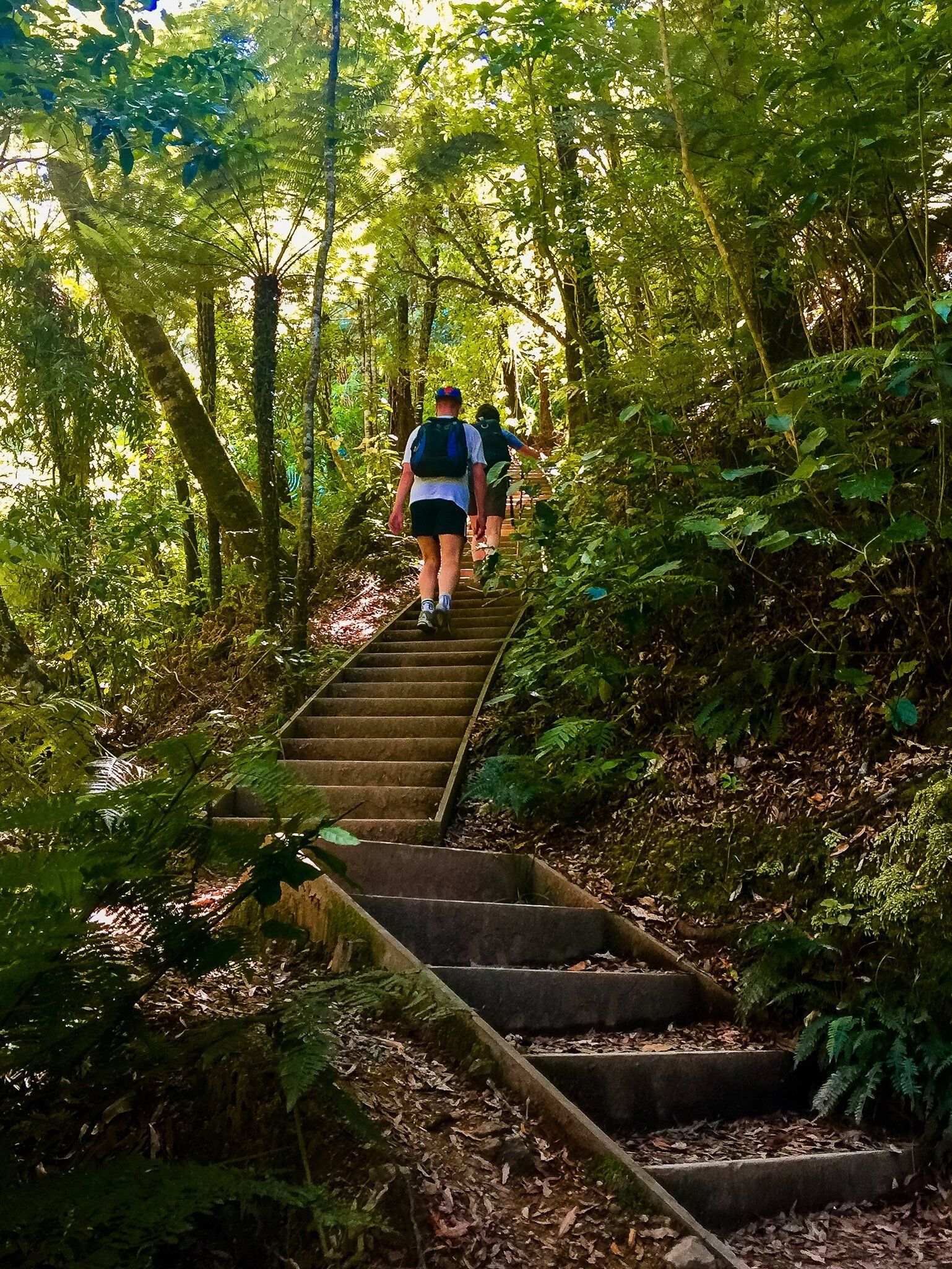
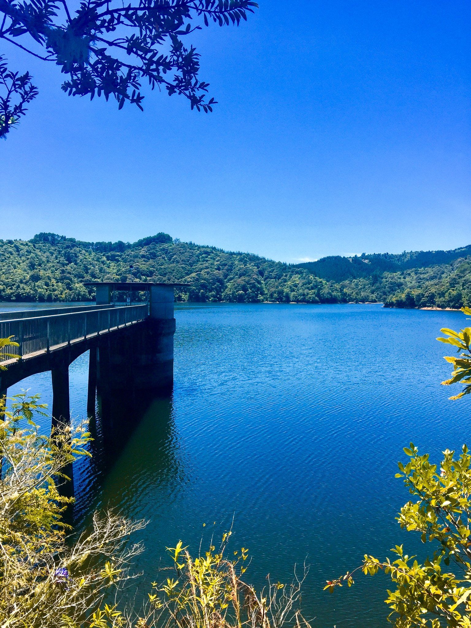
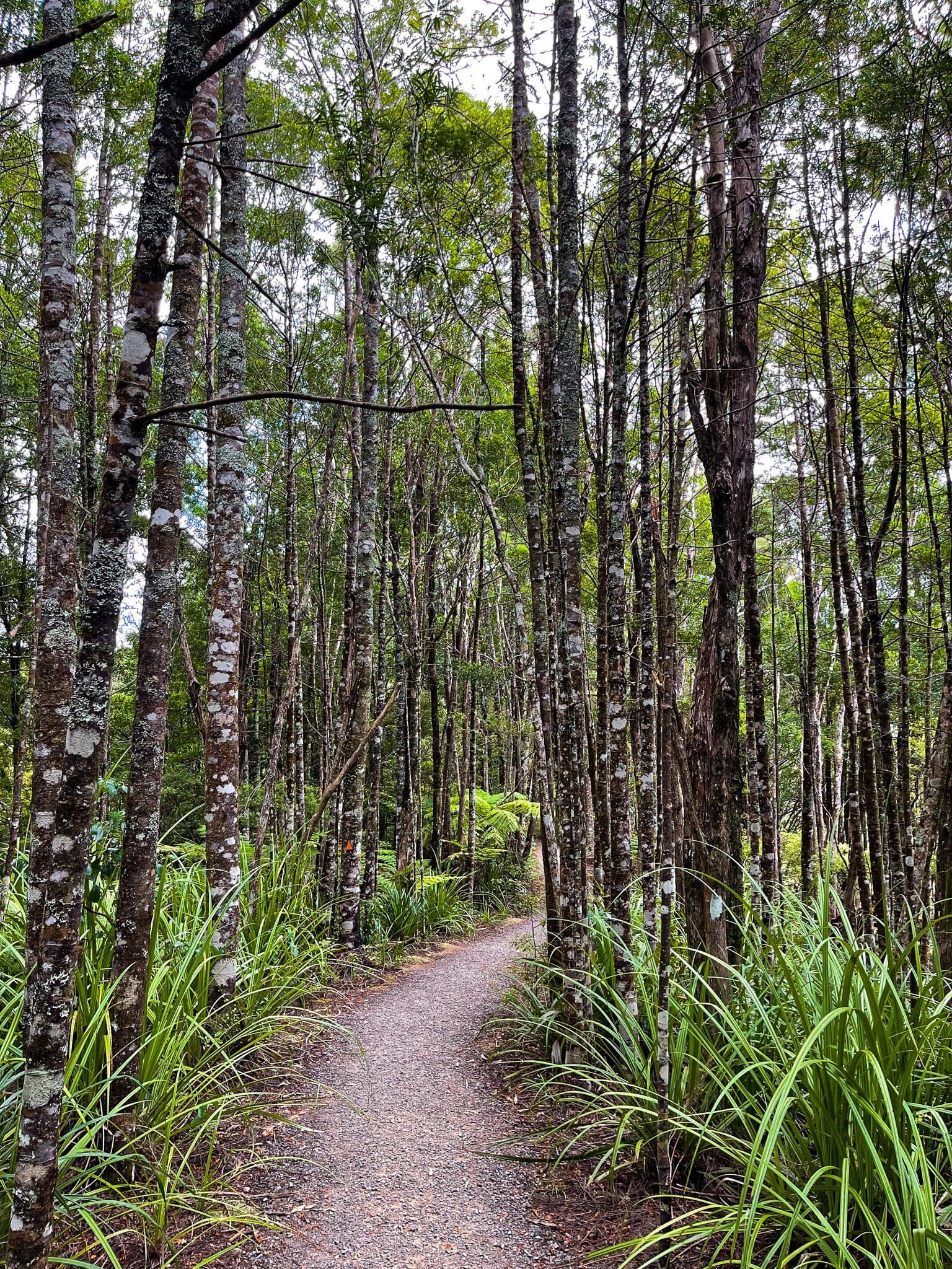
During the 1900s, Auckland City acquired much of the Ranges to develop water reservoirs, leading to forest recovery and the park's development. It is Auckland City's largest water catchment, with several accessible reservoirs around the ranges. Several hiking trails and campsites, including multi-day options, are scattered throughout the park. Some tracks are closed due to kauri dieback disease, but most trails are open.
The west side of the Ranges can be accessed directly from Auckland, the east side via East Coast Road on the Firth of Thames, and the southern side from Kaiaua Road.
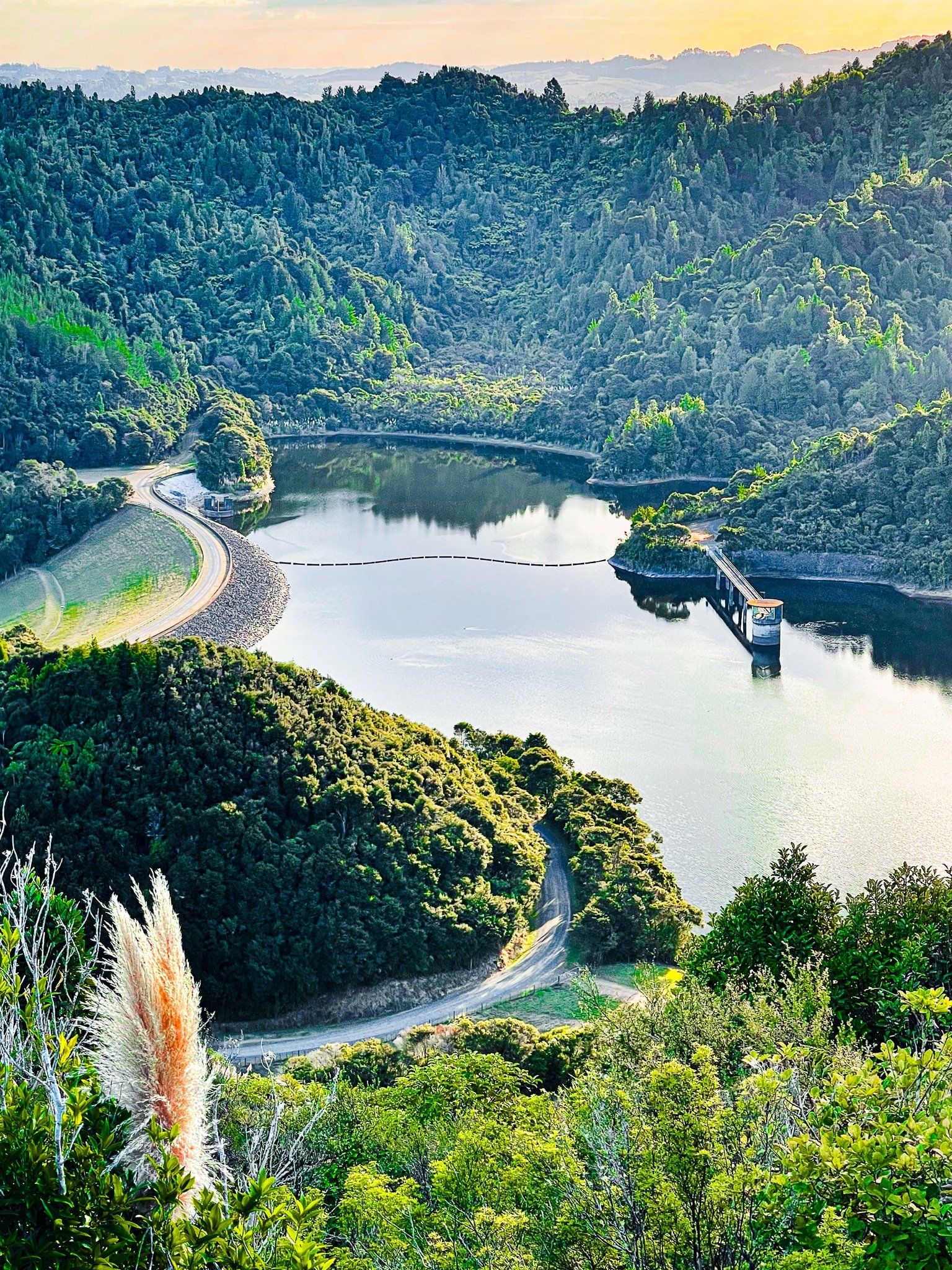
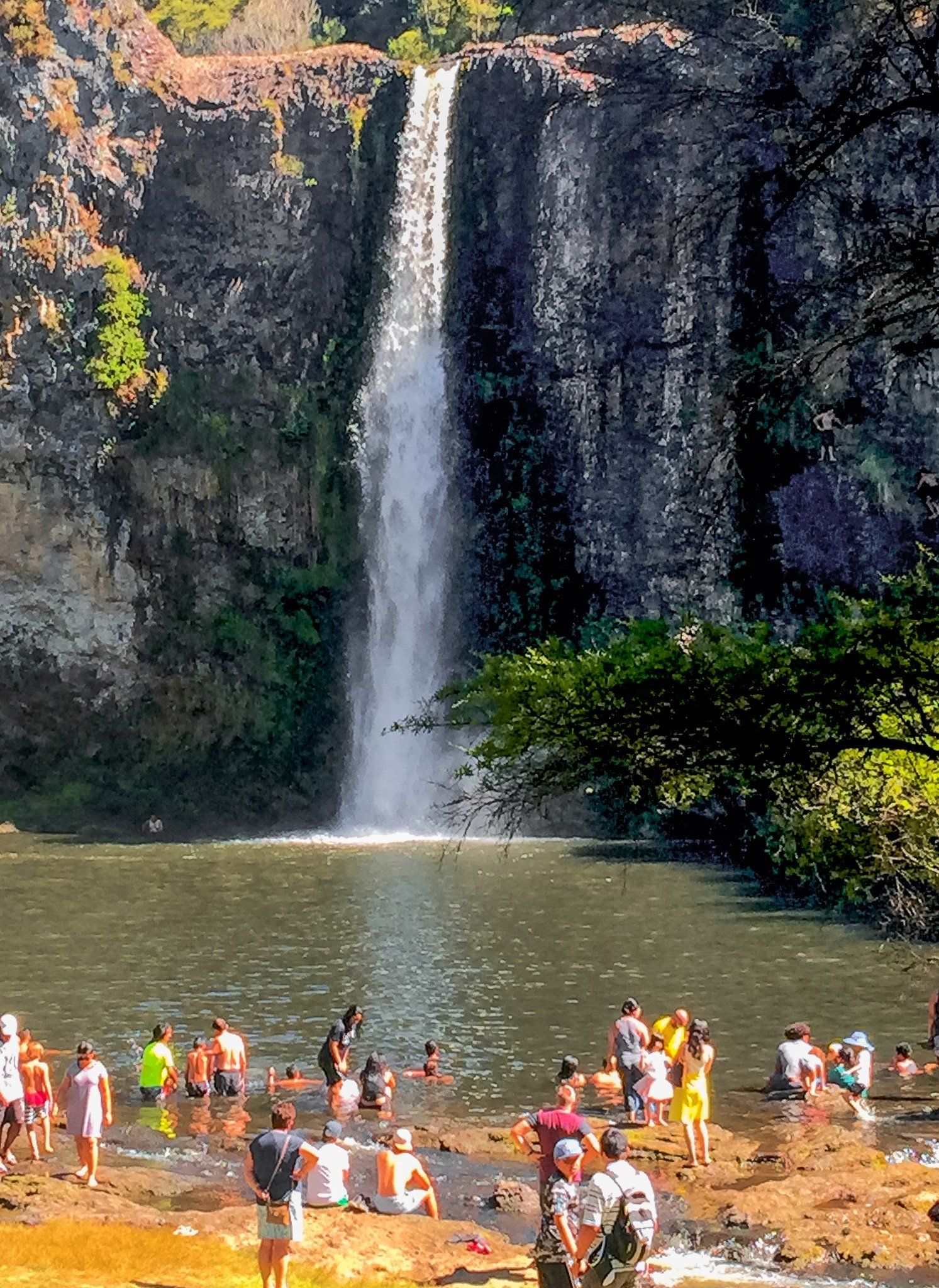
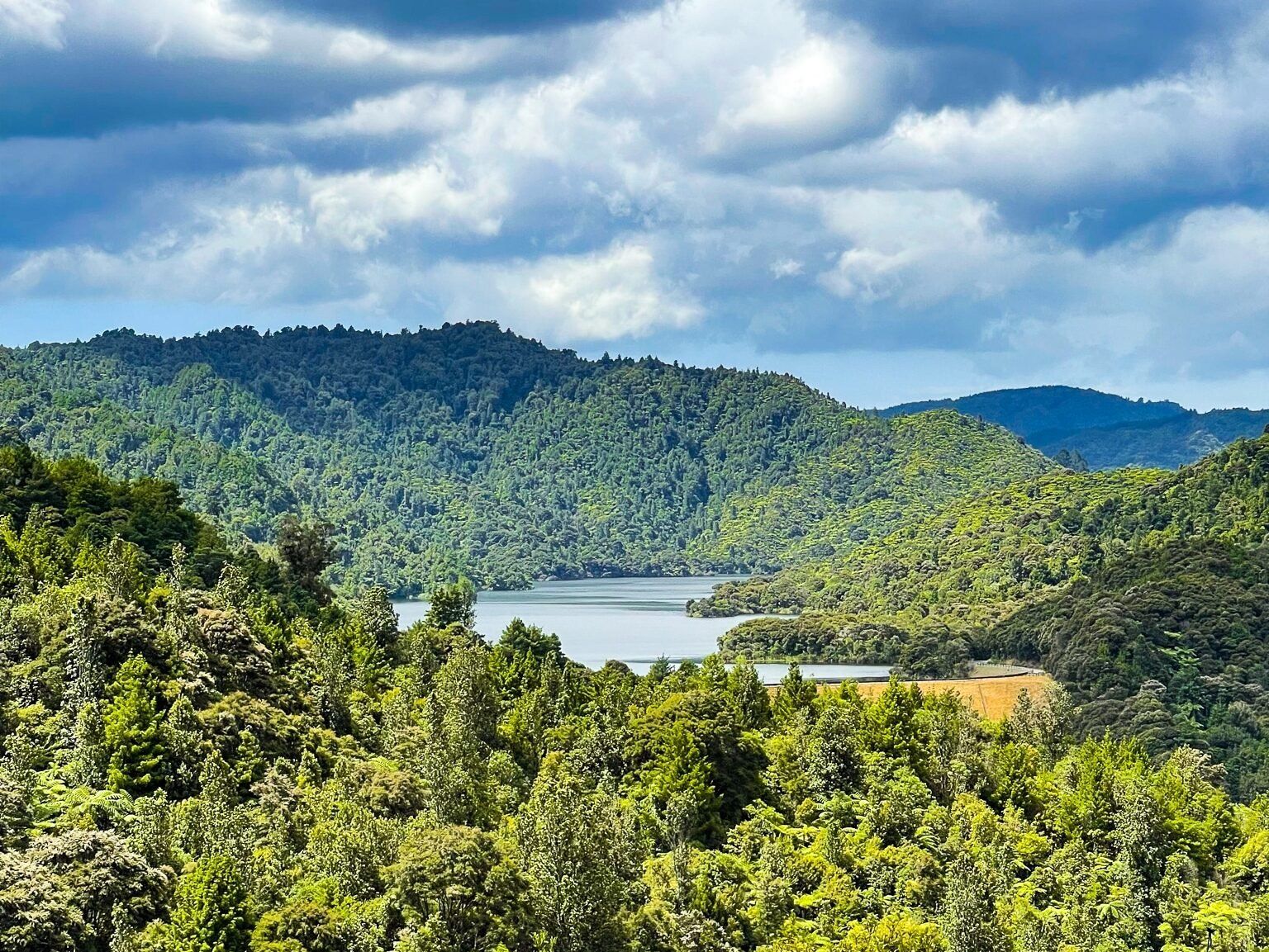
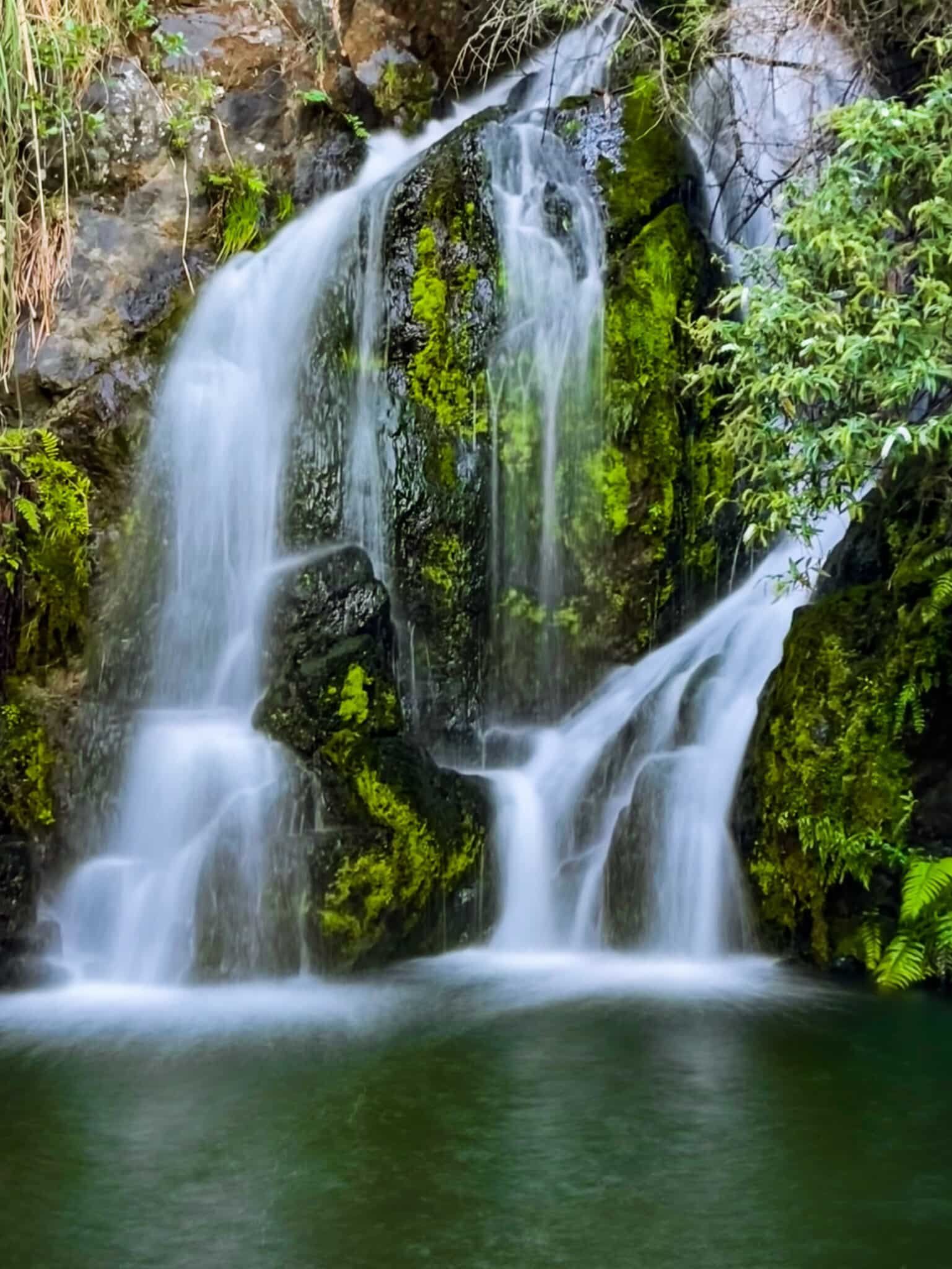
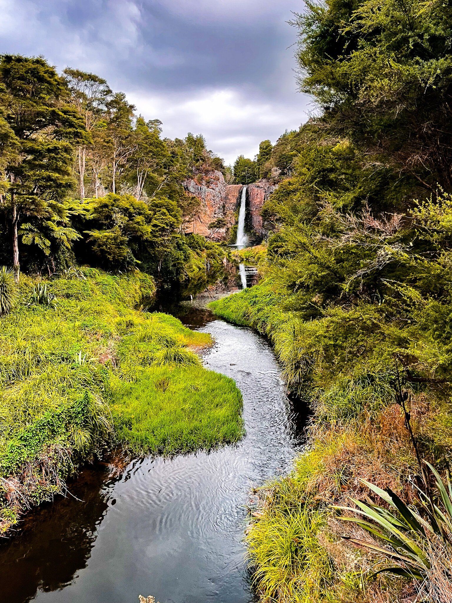
It is about a one-hour drive from central Auckland via Papakura, then on Hunua Road to the north-western entrance and popular Hunua Falls. The Cossey Massey Loop, one of the best half-day walks in the region, starts from the Falls. Heading south on Hunua Road, you will come across a second entrance on Moumoukai Road. This accesses two excellent loop walks from Otau Road near Wairoa Reservoir. There are also a few barely known waterfalls from the Otau Road car park, including the Wairoa Falls. Continuing on Moumoukai Road, access Mangatawhiri Reservoir and additional tracks, including some on-road sections.
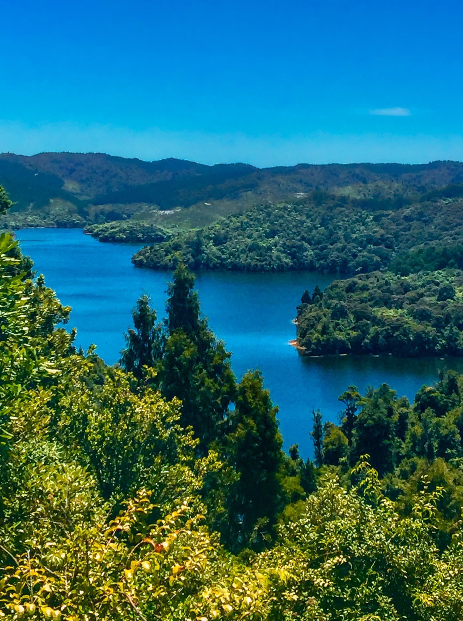
On the Firth of Thames side, the Ranges can be accessed from East Coast Road north of Wharekawa. There are short forest walks and a half-day loop, including views of the Coromandel. From the south end, the Mangatangi Reservoir is accessible by car from Kaiaua Road. However, the nearby tracks are presently closed.
A map of open and closed tracks can be found here, though the tool can be a little awkward to use!