
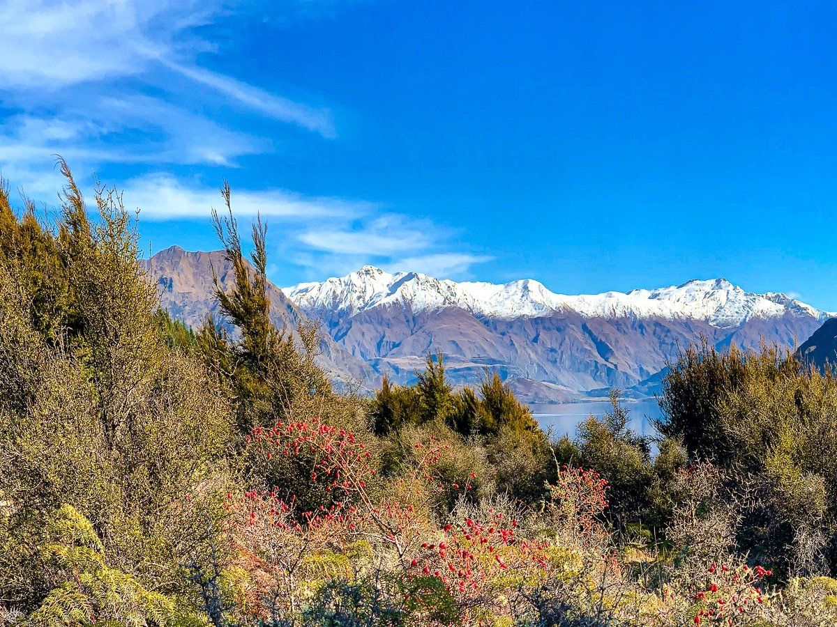
There’s a broad range of outdoor activities around Wanaka, many of which we’ve covered in earlier posts. Today we focus on the hikes, walks and viewpoints that sit between Wanaka and Matukituki Valley, many of them just off Mount Aspiring Road.
These include the hikes up Mount Roy and Rocky Mountain, plus easier walks around Glendhu Bay and the Motatapu River and gorge. The best views are from the mountain tops – however, when Lake Wanaka is very still and calm, the fabulous reflections on the water around Dublin Bay and Glendhu Bay are unbeatable.
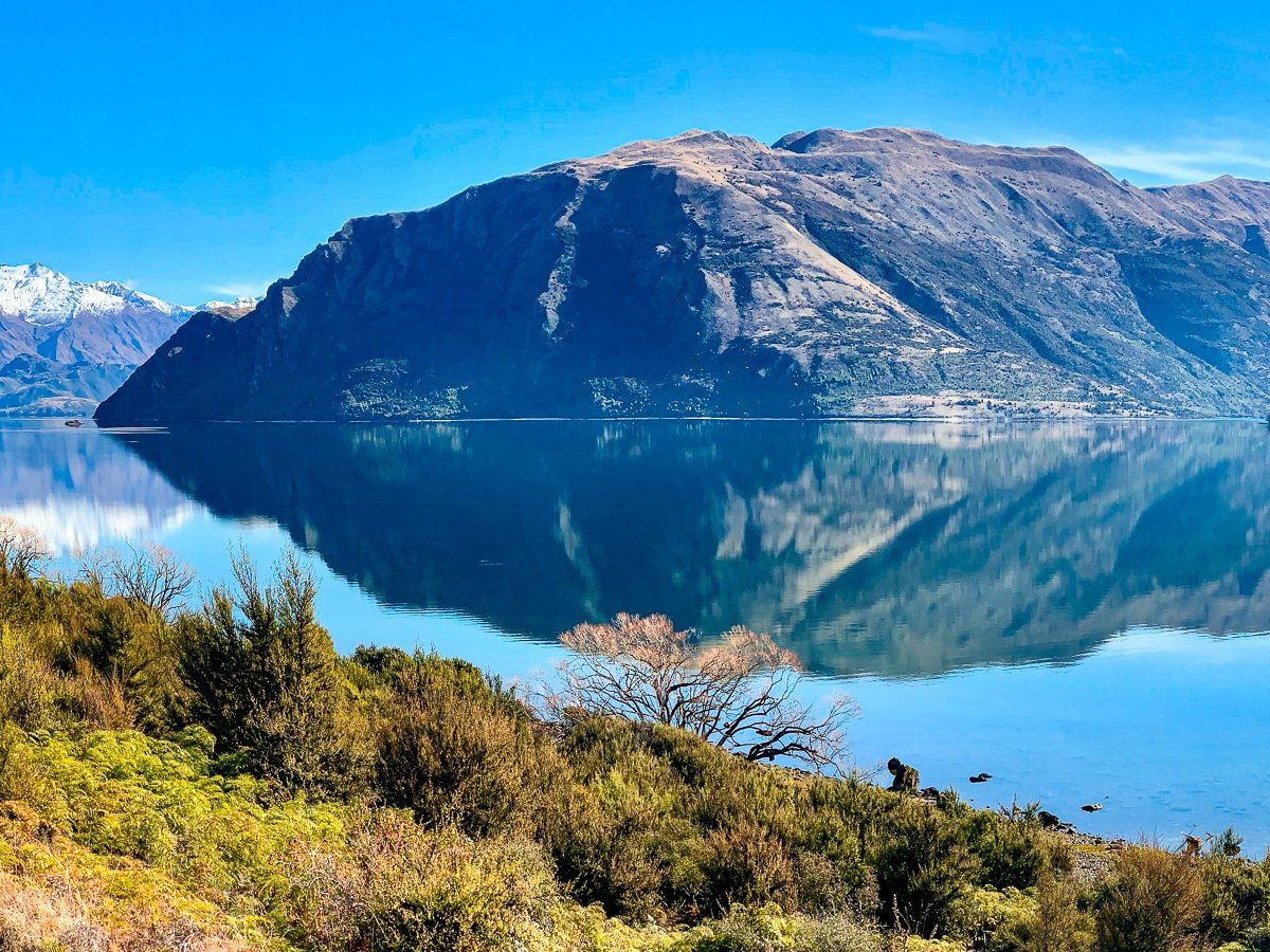
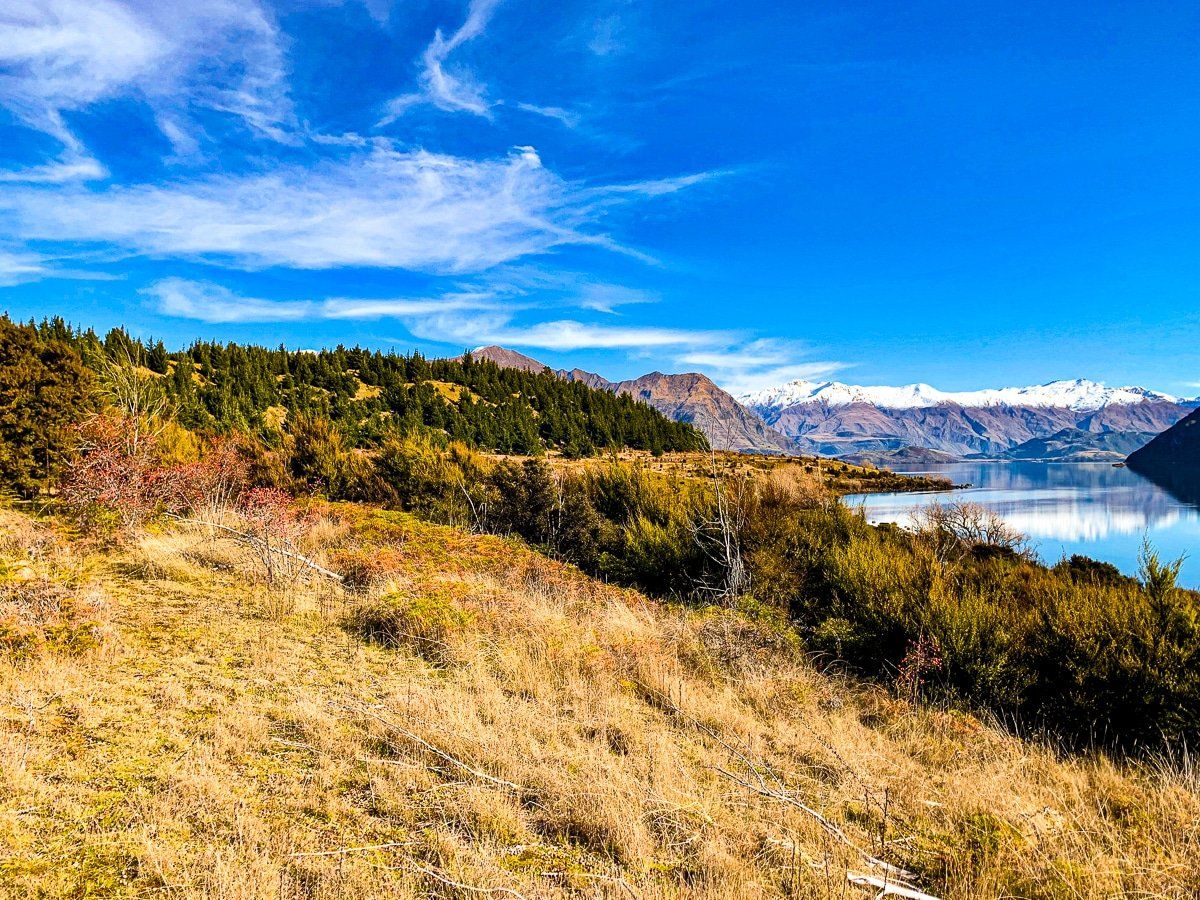
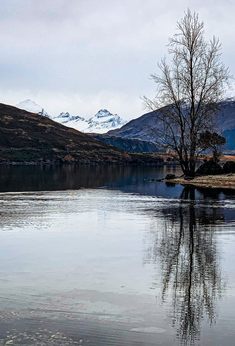
Dublin Bay
Dublin Bay is often overlooked, but on a still day the lake reflections here are stunning. Wander around the edge of the bay; just mind the thorny rose hip and native matagouri!
To get to Dublin Bay, drive toward Hawea from Wanaka. Cross the single lane bridge over the Clutha River at Albert Town, then turn left onto Dublin Bay Road. This is a metal road for 4 kilometres which then turns into a basic track for 4WD vehicles, biking and hiking at Dublin Bay.

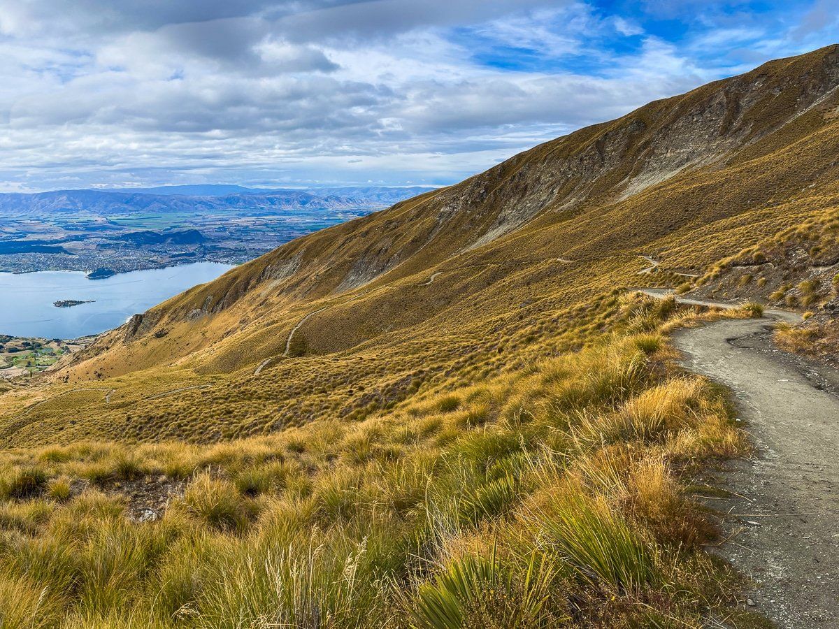
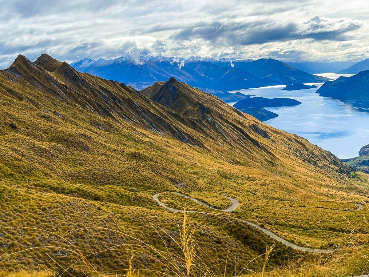
Roys Peak Track
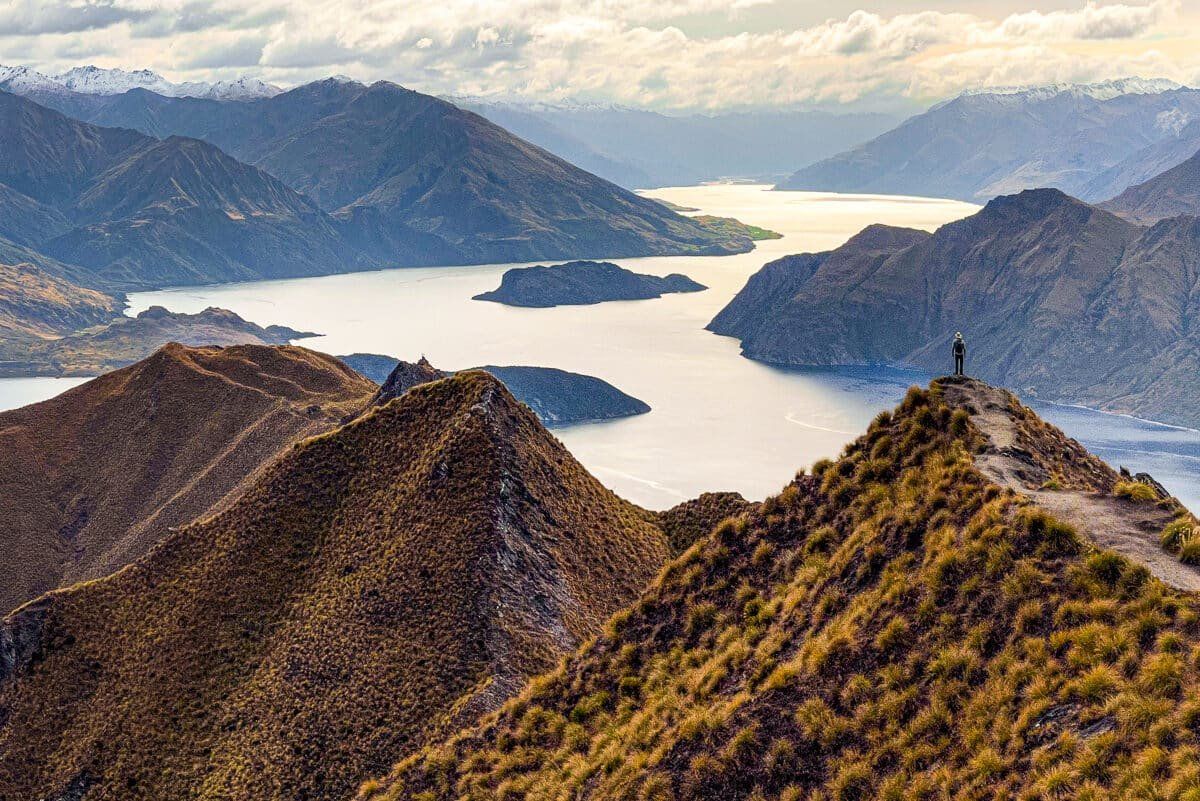
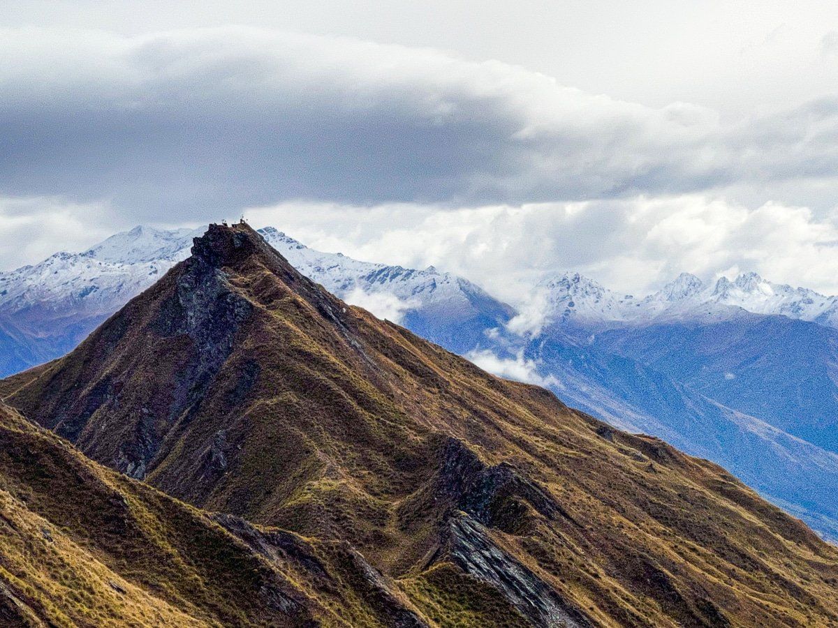
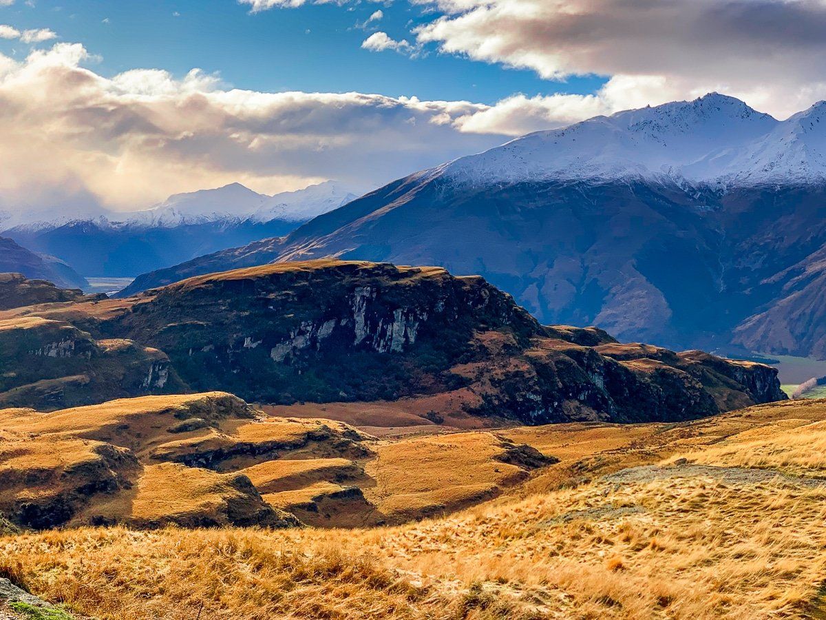
Roys Peak Track on Mount Roy is probably the most popular hiking track in the Wanaka region. For many years it was largely ignored – after all, it’s a two hour slog up an exposed face, initially on a farm track with the inevitable animal manure. However, when people became aware of the amazing viewpoint (largely through Instagram), it changed everything, and now there’s a large car park at the bottom, catering to hundreds of visitors.
As a hike, Mount Roy is continuously uphill; the track climbs about 1,000 vertical metres to the popular viewpoint, then another sharp 250 vertical metres to the peak. Once there, take your time. The popular shot is just one angle, and the 270-degree view of the jagged ridges, mountains, valleys and Lake Wanaka are spectacular. On another important note, there’s a toilet at the viewpoint.
Try and pick your time for Roys Peak. During busy periods, there will be hundreds of visitors on the track, with a queue for photos at the viewpoint. Also keep in mind that during winter it often snows to the viewpoint.
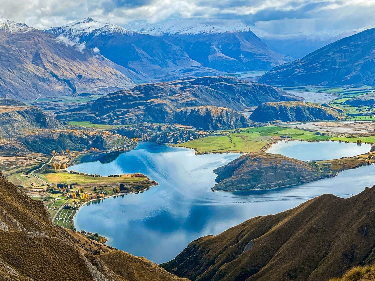
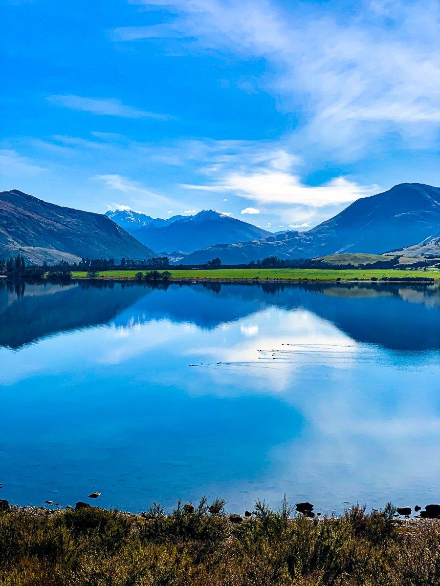
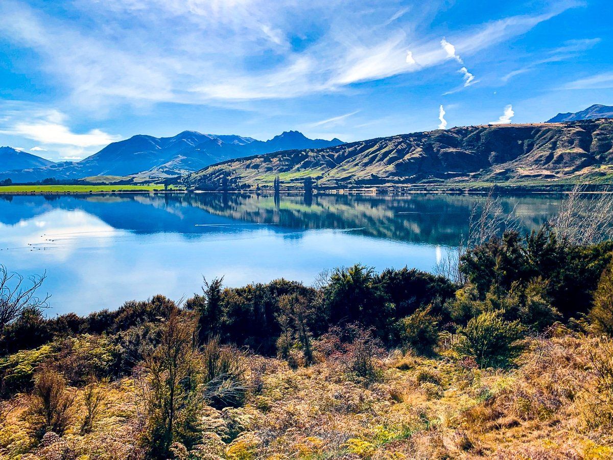
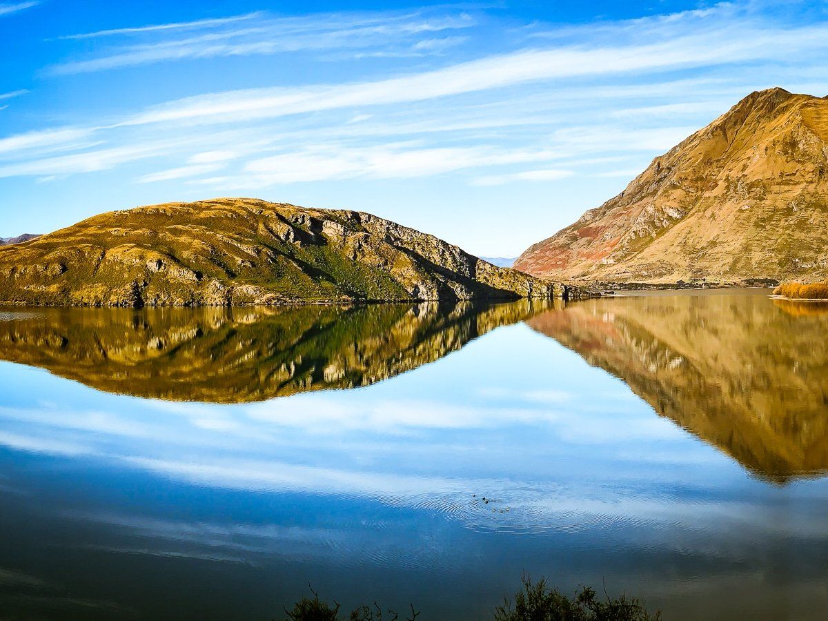
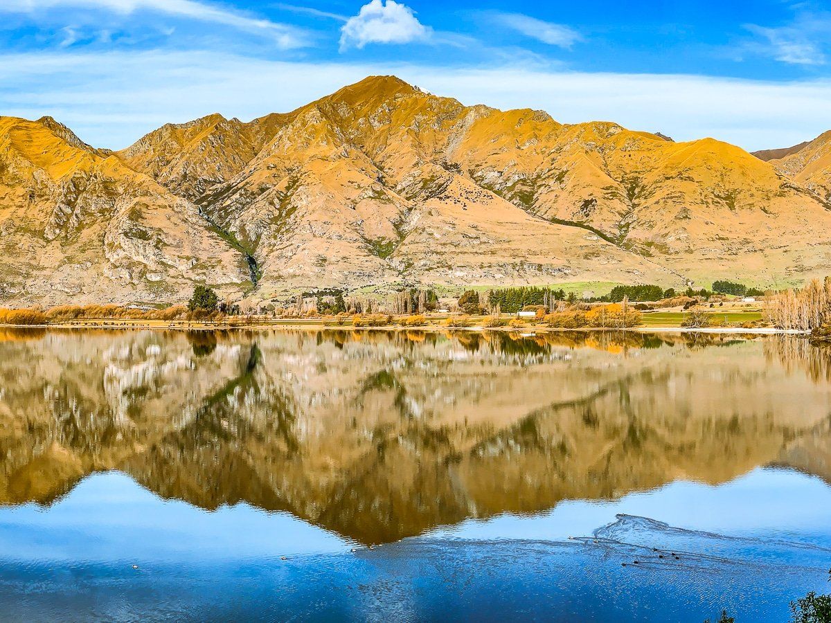
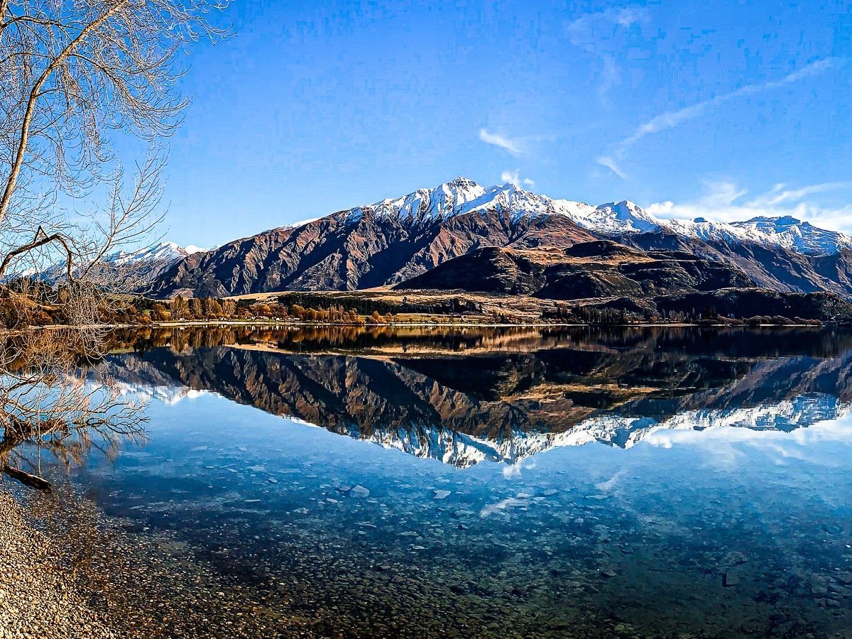
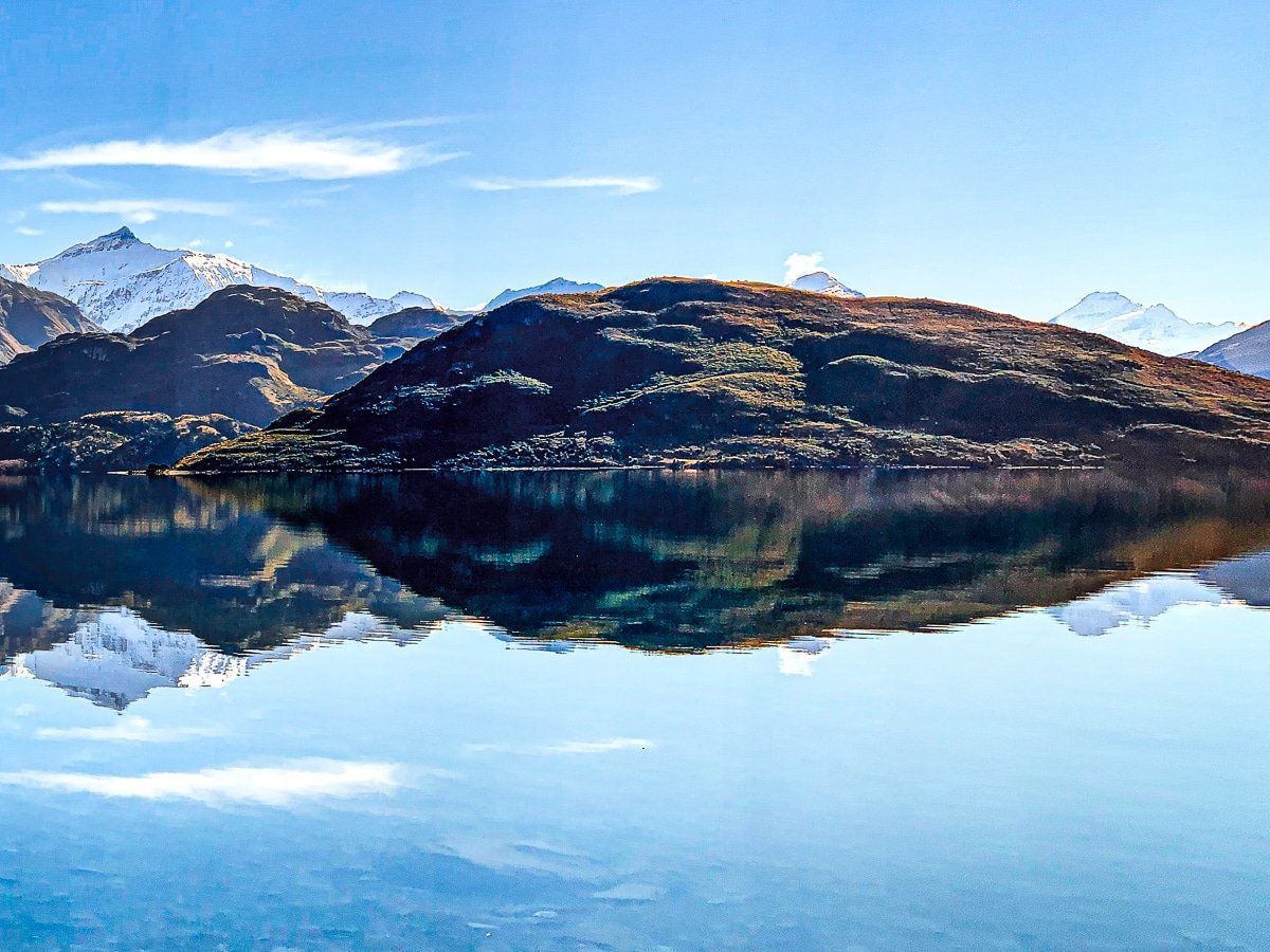
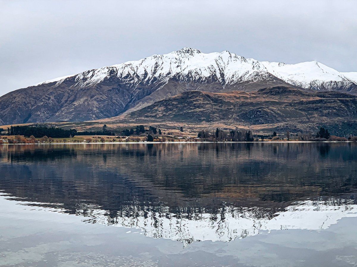
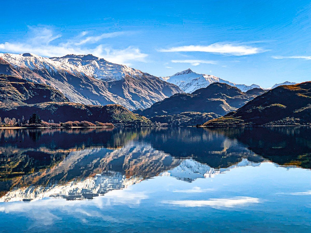
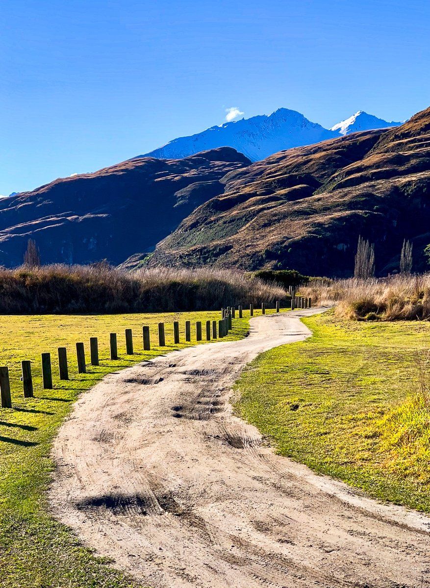
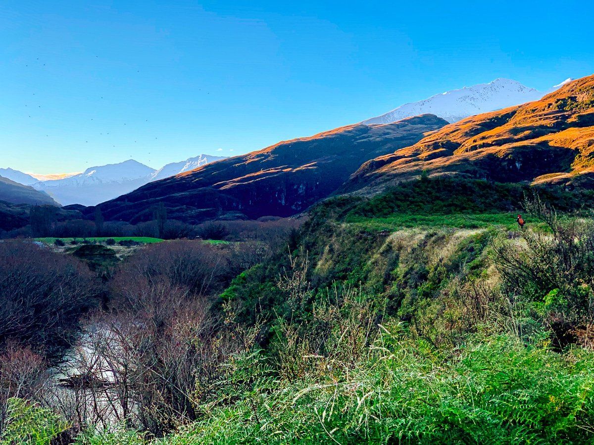
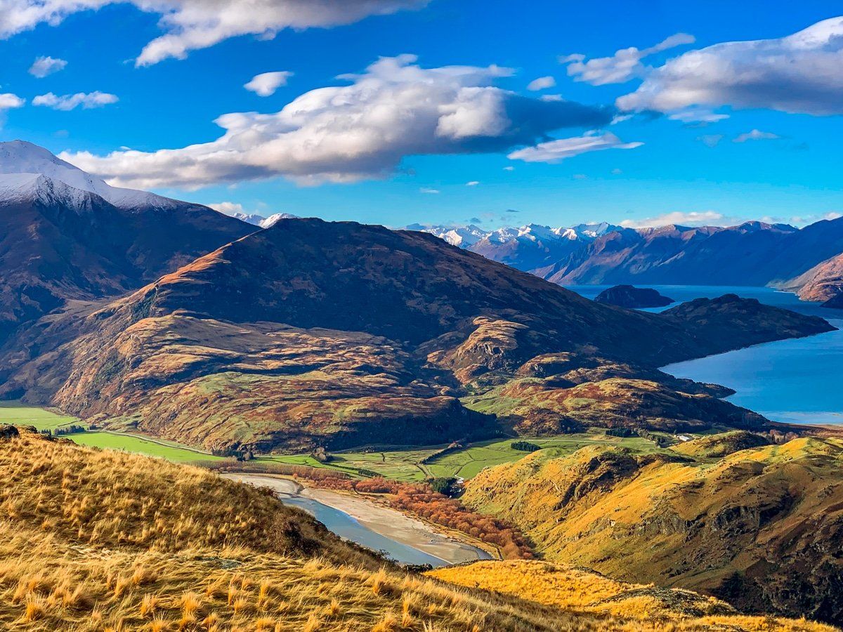
Glendhu Bay
Glendhu Bay is just off Mount Aspiring Road, and there are several excellent viewpoints. The best time to visit is on a calm day, as the reflections are outstanding.
From Wanaka you can drive to Glendhu Bay, or if you want to commit an entire day, walk or cycle there on the Glendhu Bay Track that follows Lake Wanaka. There’s a signposted reserve before the campground, which is the only place in the region with a view of Mount Aspiring, poking out between the Harris Mountains and the Buchanan Peaks.
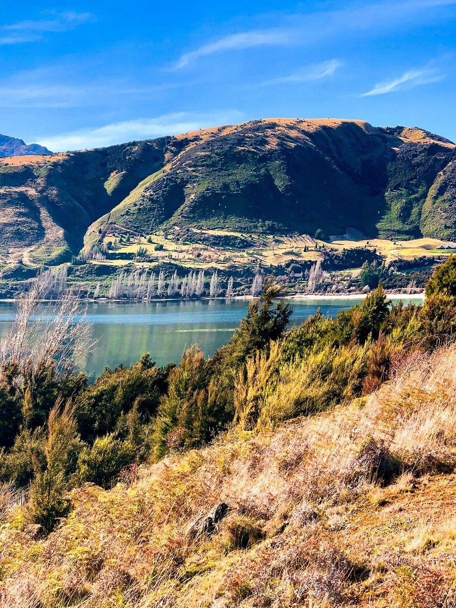
You can drive further around the lake to Glendhu Bluff. There are three places with wide verges where it’s safe to stop on the other side of the road, however these aren’t signposted. At the second of these verges right in the middle of the bluff, there’s a short track through the scrub to viewpoints over the bay.
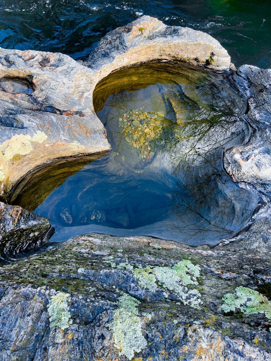
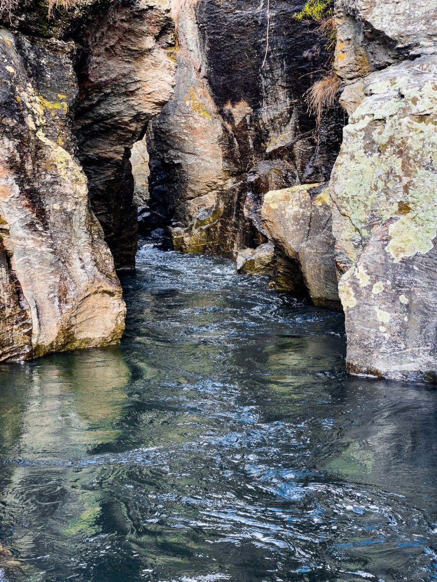
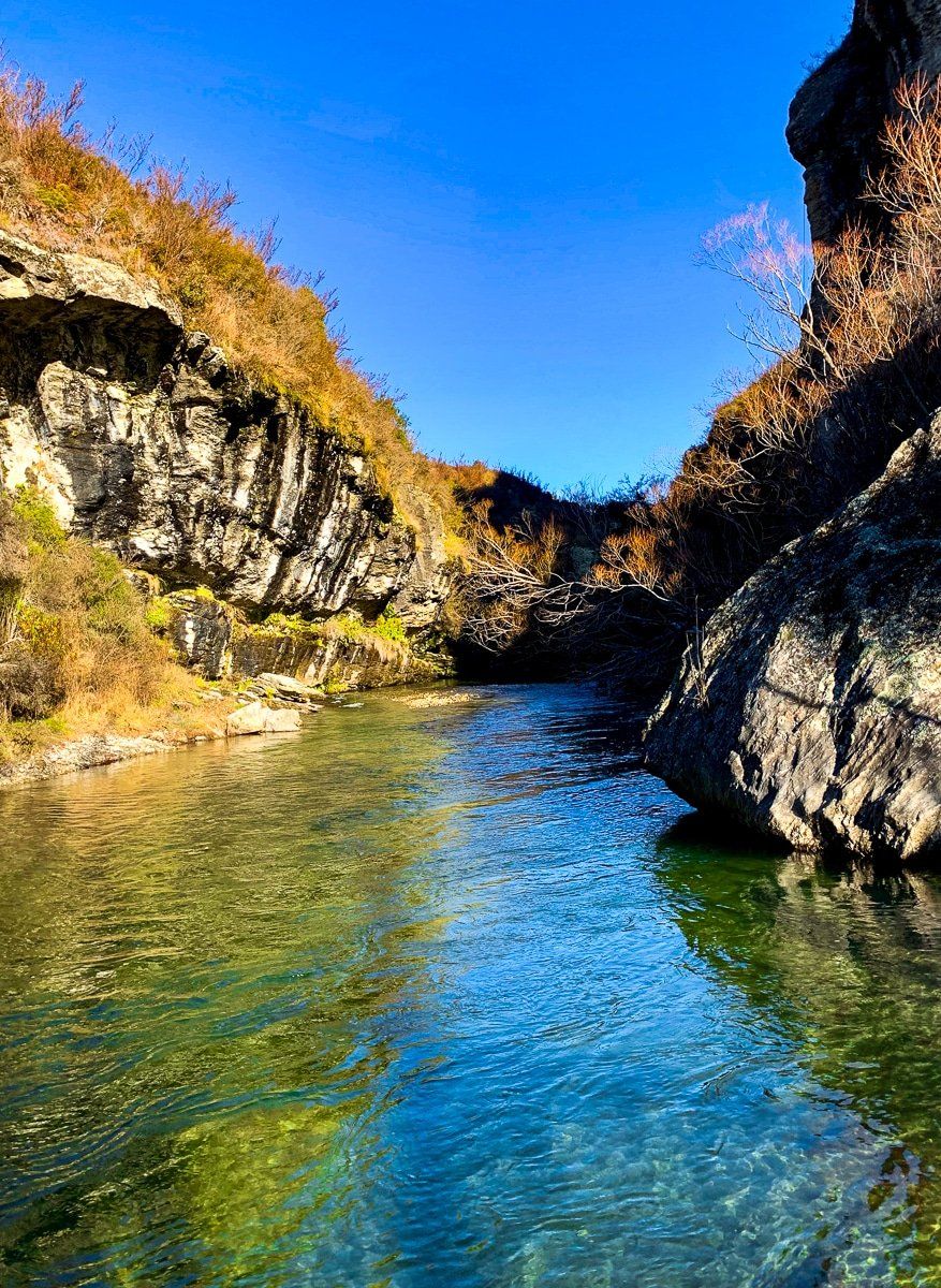
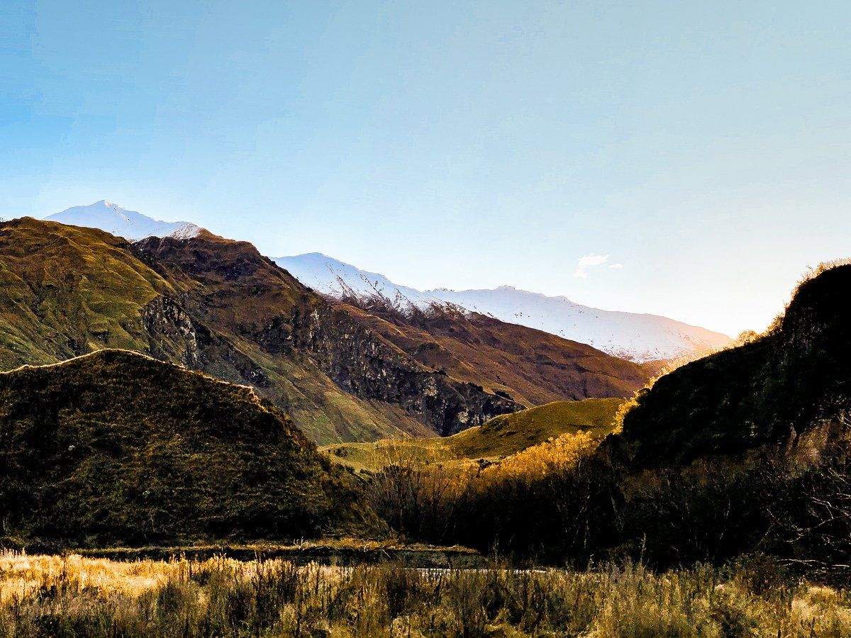
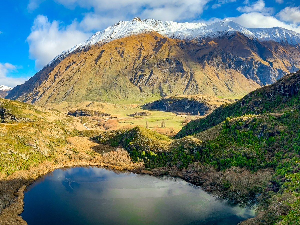
Motatapu Gorge
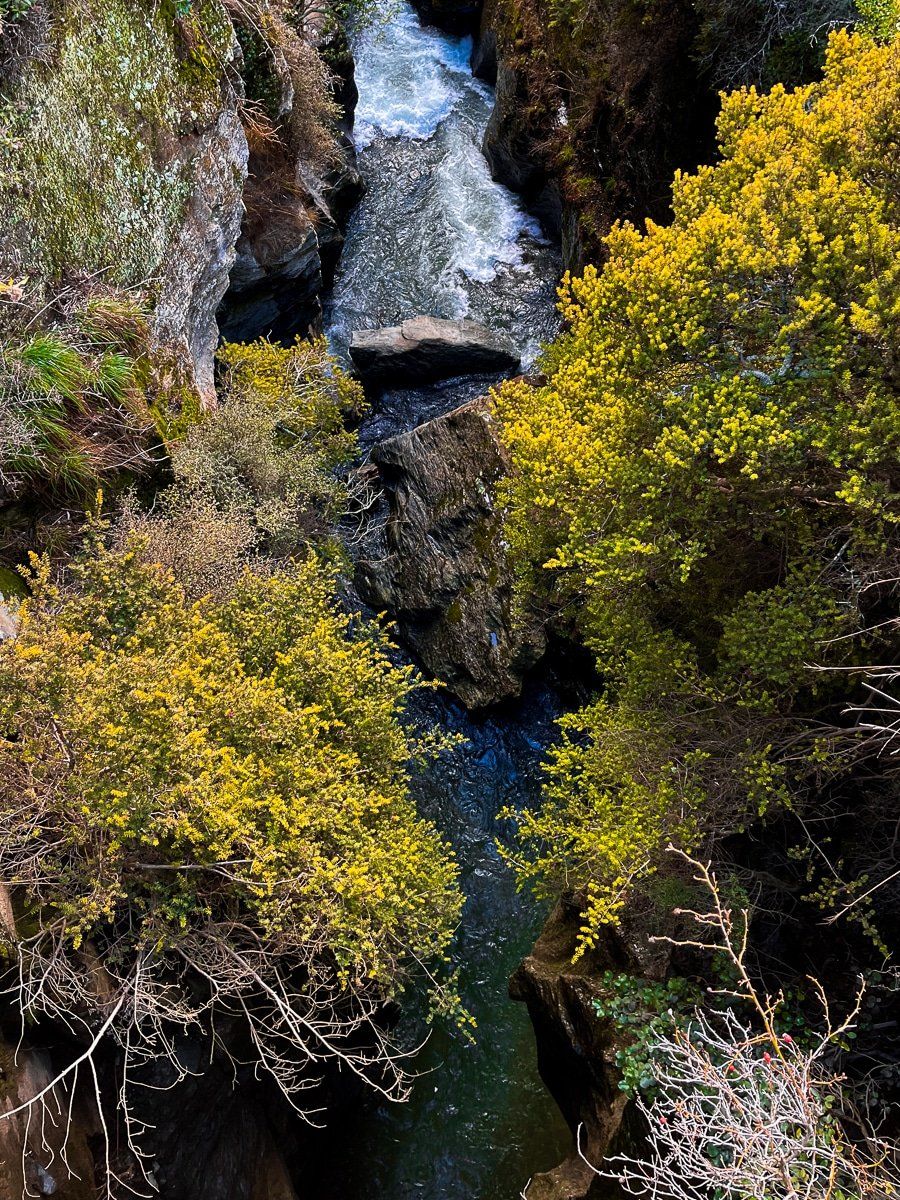
From the Glendhu Bay campground, turn into Motatapu Road and drive to the end of the public road. There’s a small bridge over the Motatapu Gorge that you can stand on for a view. It’s become a bit overgrown, but is still worth it.
There’s a larger car park just before the bridge which is at the southern end of the Motatapu River Track. Go down the stairs to the river for another view into the gorge and the colourful rocks.
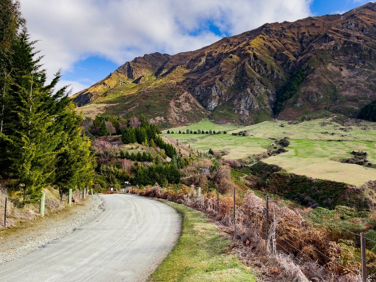
About halfway along Motatapu Road, you’ll also see the start of the Motatapu Track (not to be confused with the Motatapu River Track). This is part of Te Araroa; from here it takes several days to hike to Arrowtown, or take an easy half day walk along the Fern Burn and back.
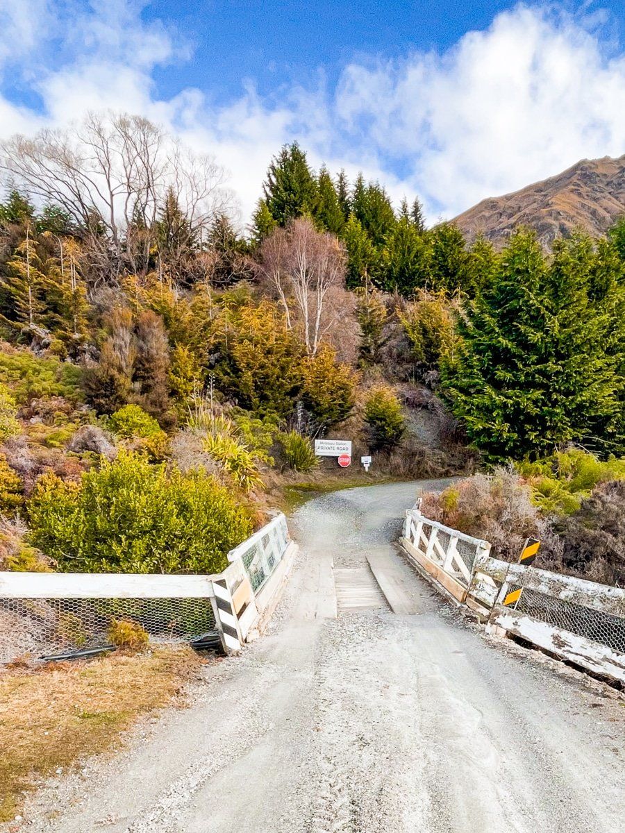
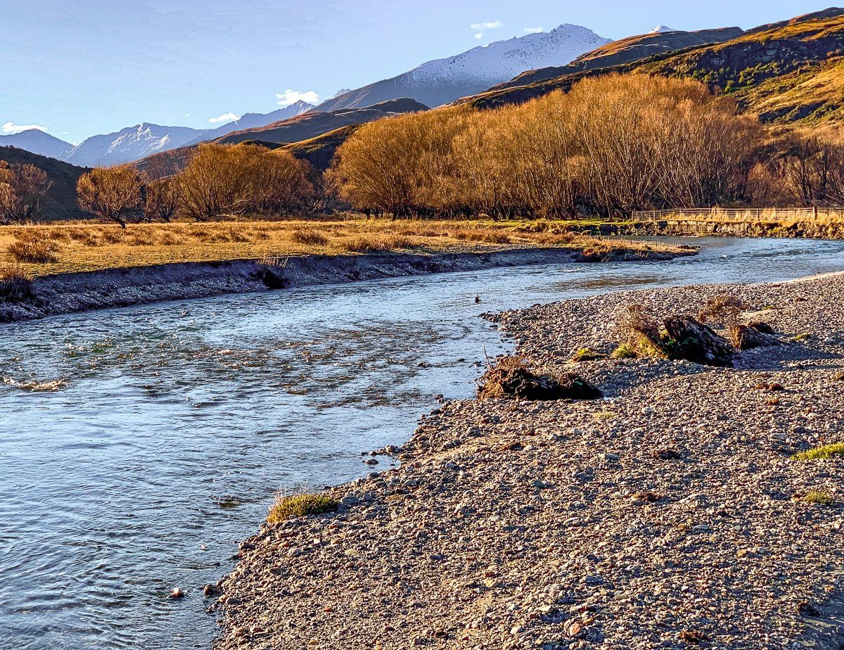
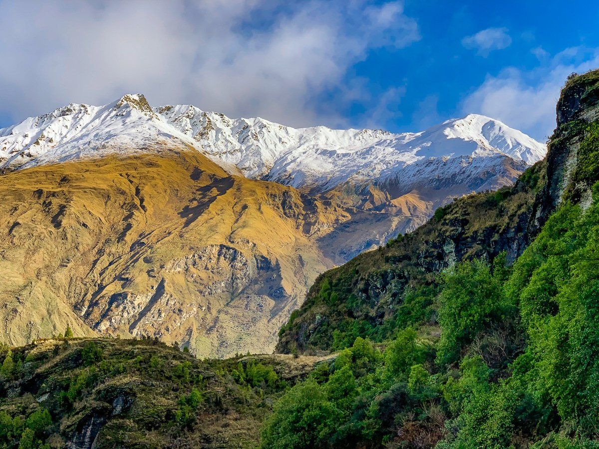
Motatapu River Track
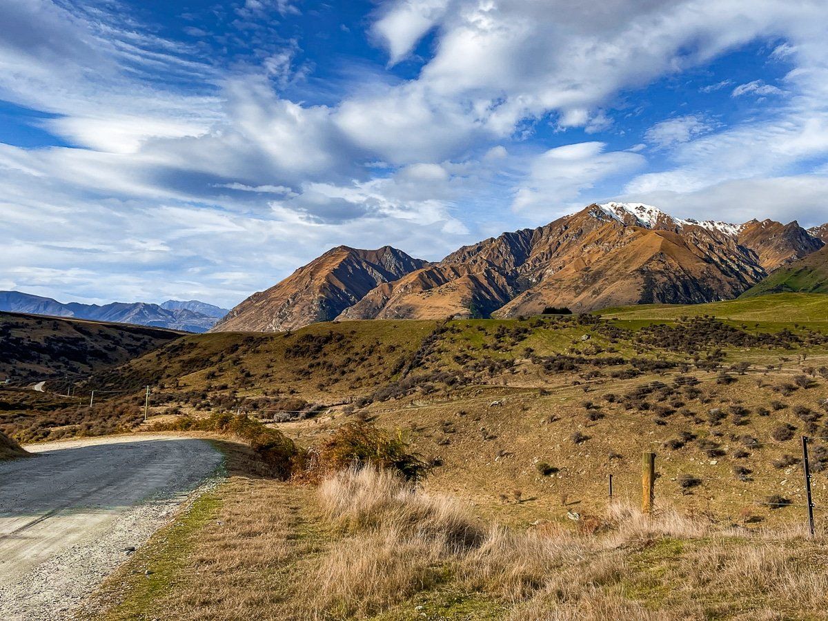
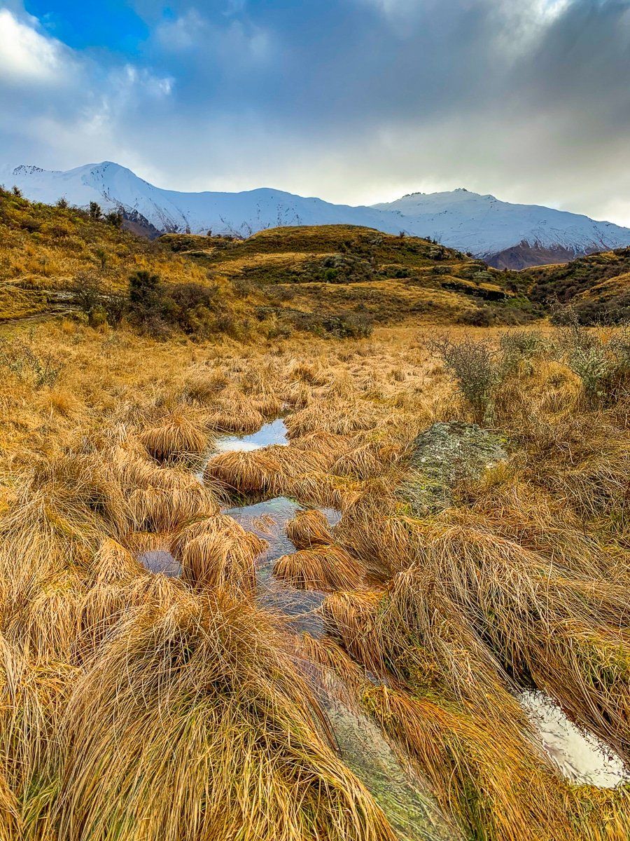
The Motatapu River Track links the end of Motatapu Road and the gorge to Mount Aspiring Road. The track is mostly flat and about 6kms long, following Motatapu River below the Harris Mountains. One section of the track was quite eroded when we did the walk, but it was manageable. If you can time the end of your walk with the sunset, do! The light on the tussock is gorgeous.
The Motatapu River Track trailhead is just after the access to Diamond Lake and before a bridge. There’s parking on the other side of the bridge by the river, or turn into the access road opposite and drive past the quarry to a reserve above the river.
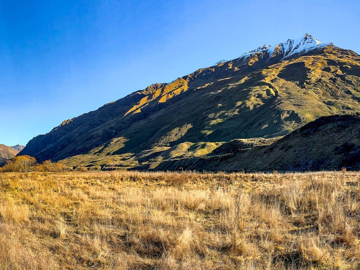
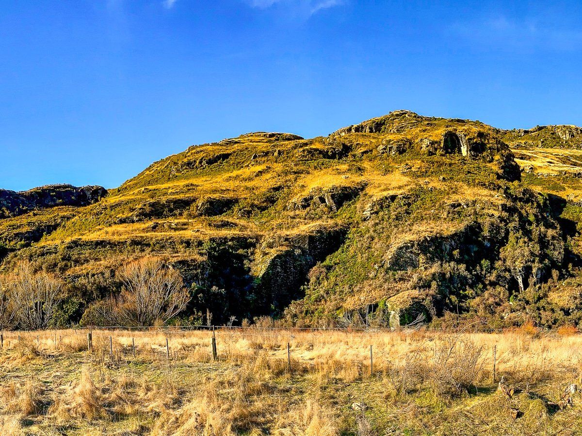
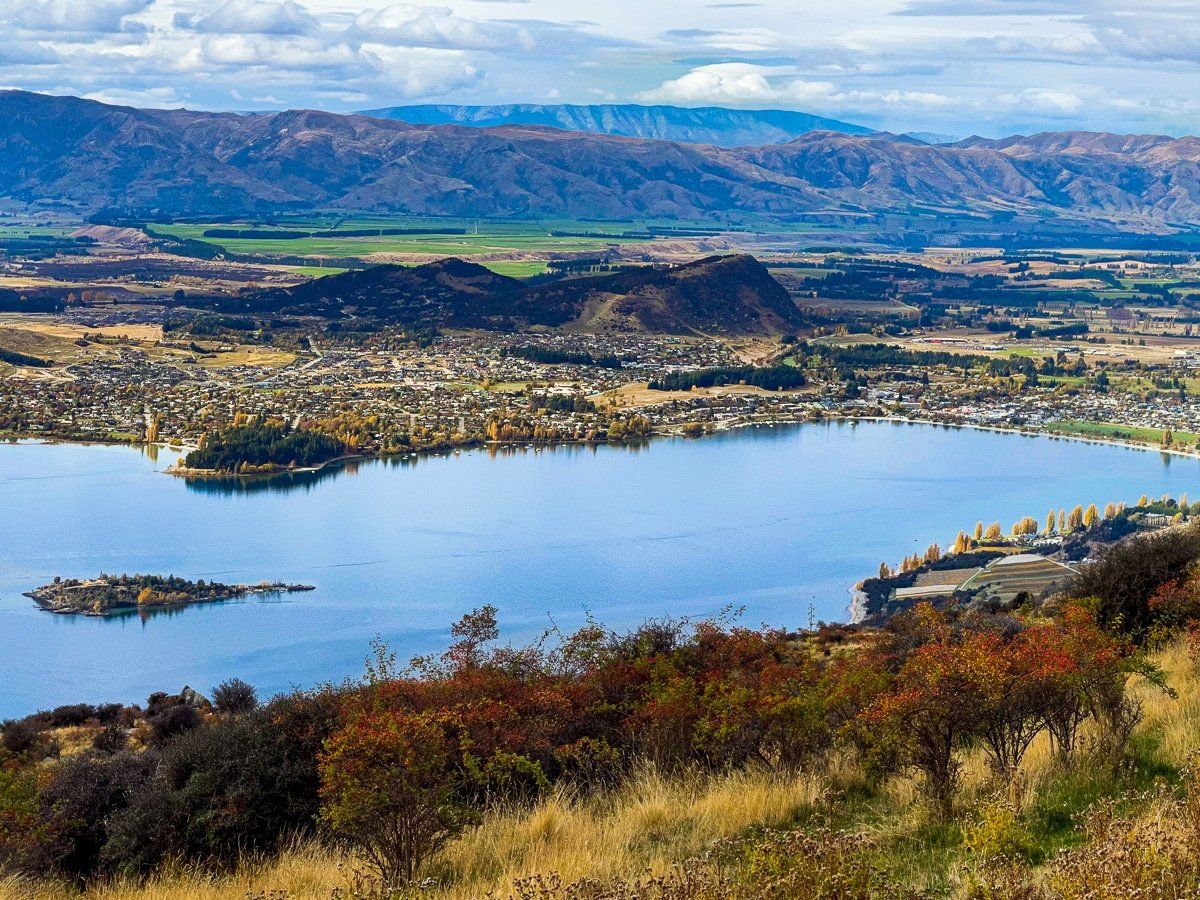
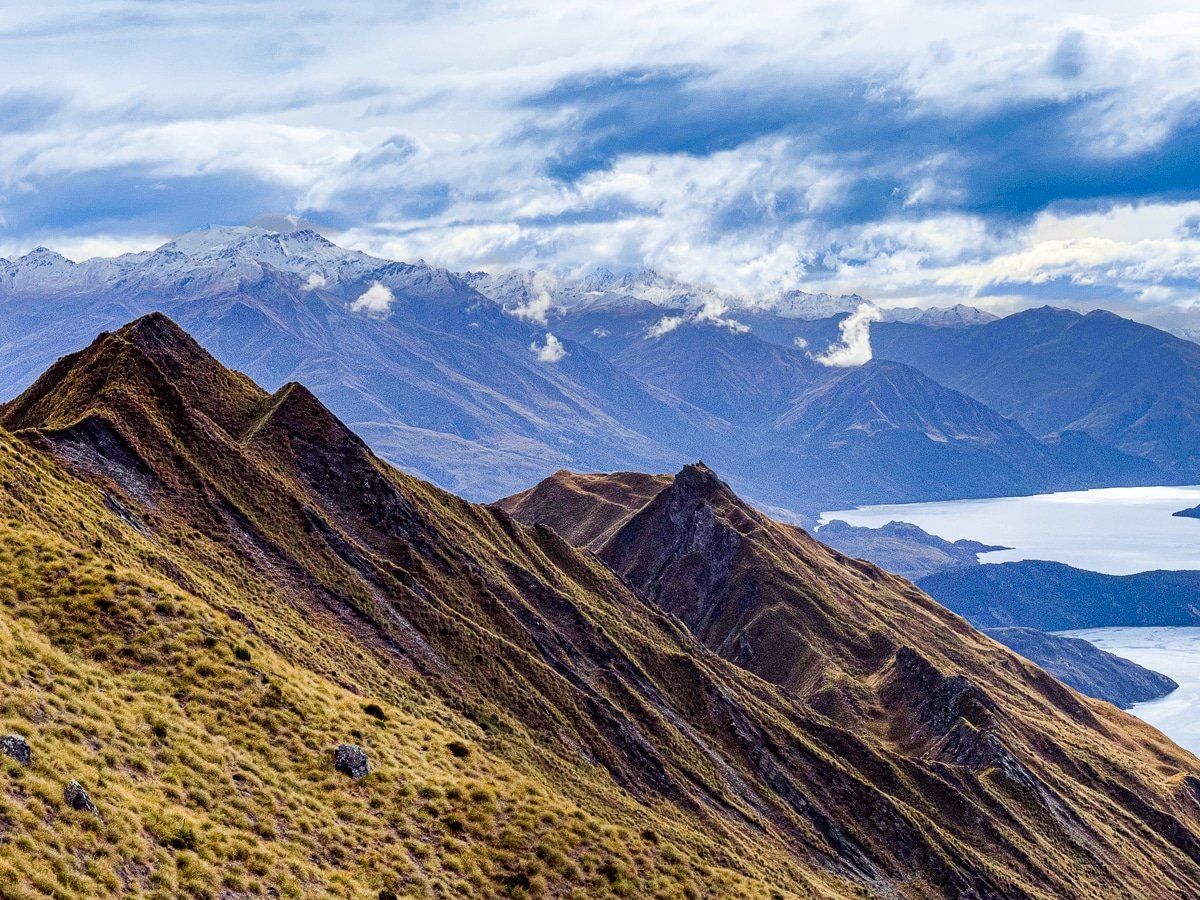
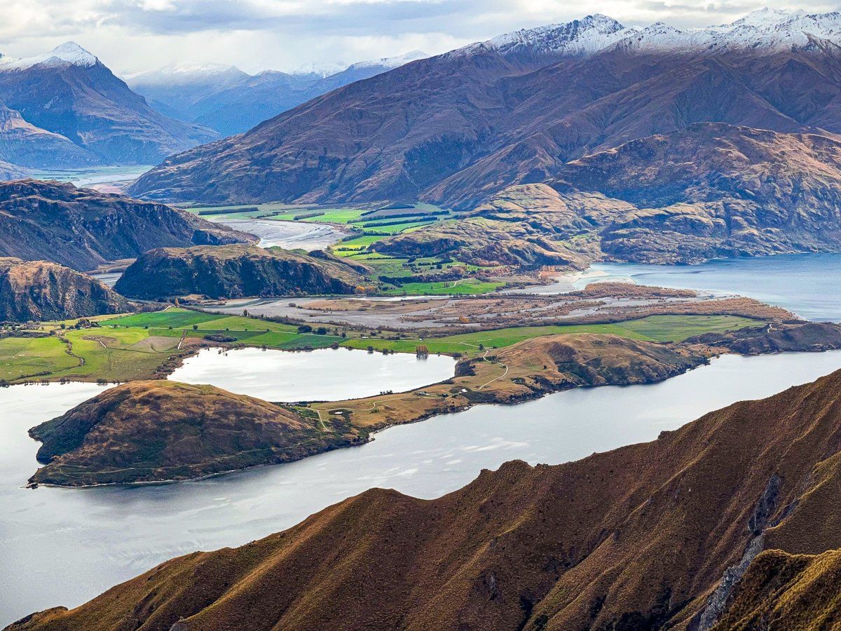
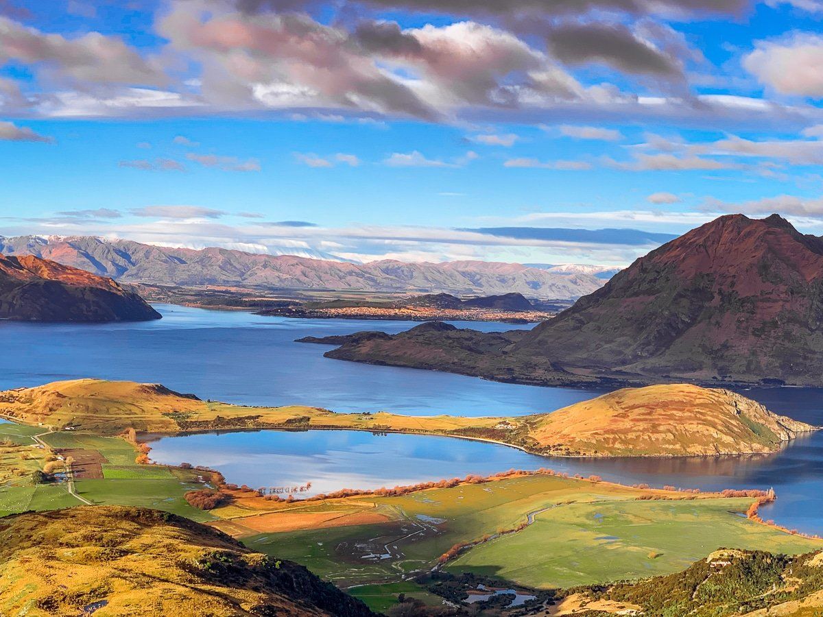
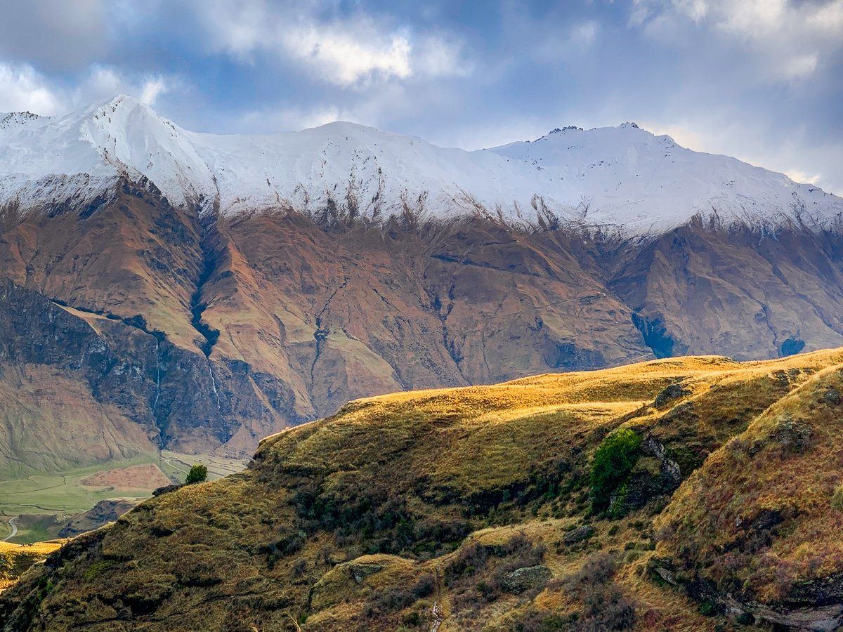
Rocky Mountain
The Rocky Mountain walks to Diamond Lake, the Lake Wanaka Lookout, and up to the Rocky Mountain summit are very popular. The more rugged loop hike to the top of Rocky Mountain takes about three hours, with a total climb of 400 vertical metres. Despite the effort, the views at the summit are worth it – and it’s a significantly shorter hike than Roys Peak.
Follow the track to the viewpoint above Diamond Lake. Shortly after that, you can take the Summit Loop to the left or right (the right option gives you access to another great easterly viewpoint over Lake Wanaka for a modest additional climb). Whichever way you go, there will be some short, rough sections. Once at the top, there’s easy rolling grass and tussock, with 360-degree views over the region.
Want more Queenstown Lakes trip ideas?
Check out our recent posts on Wanaka and Queenstown!