Hakarimata is a range of high hills northwest of Ngāruawāhia overlooking the confluence of the Waikato and Waipa Rivers. It is a short drive from the SH1 off-ramp at Taupiri to the track access on Waingaro Road on the west side of the Waipa.
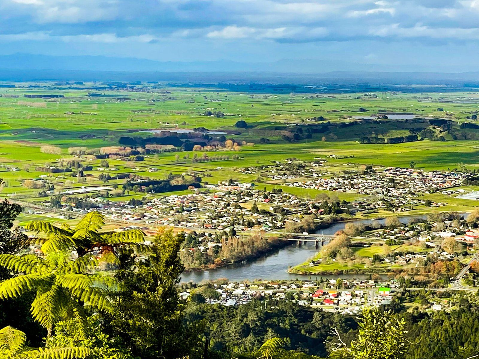
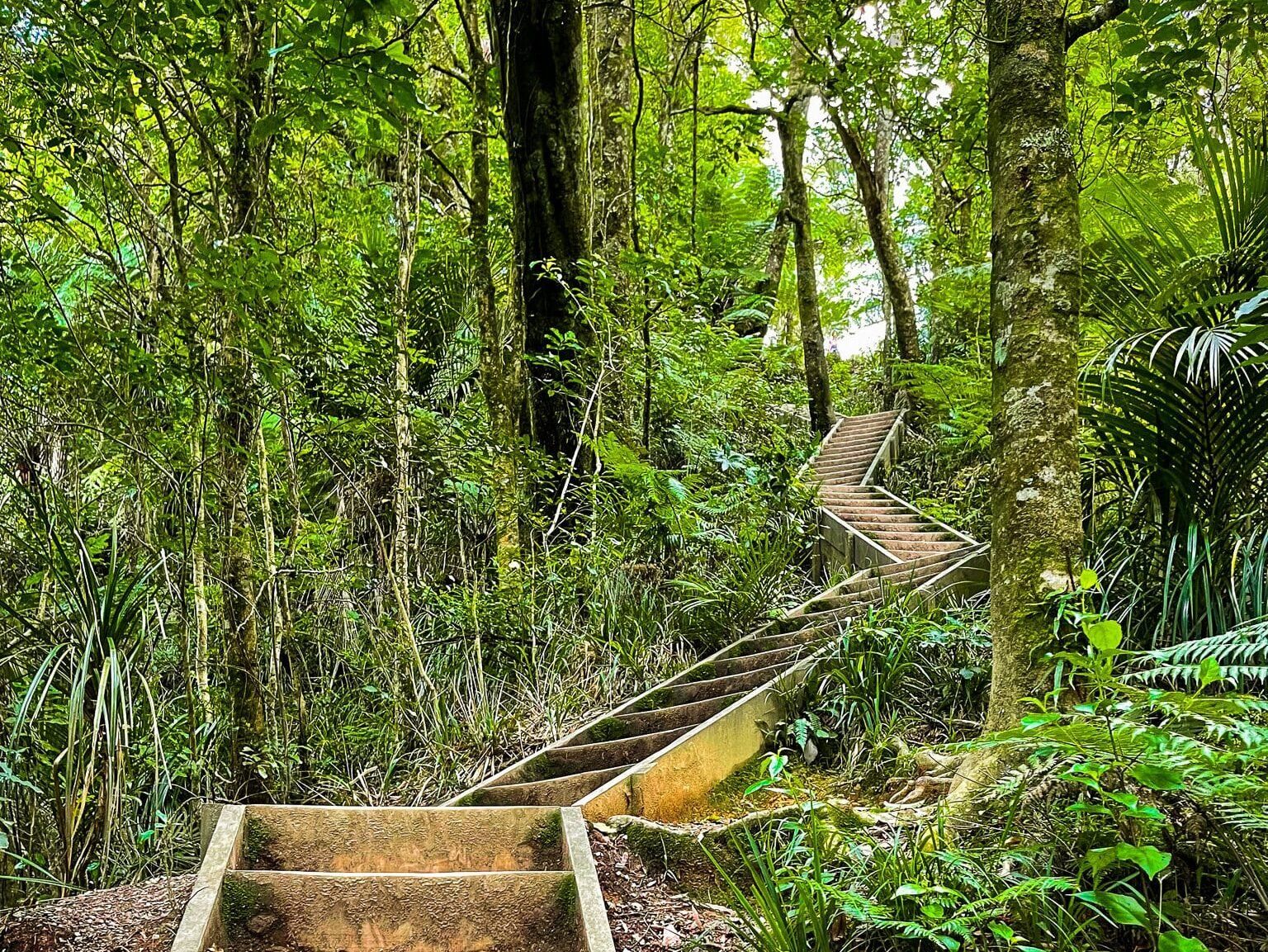
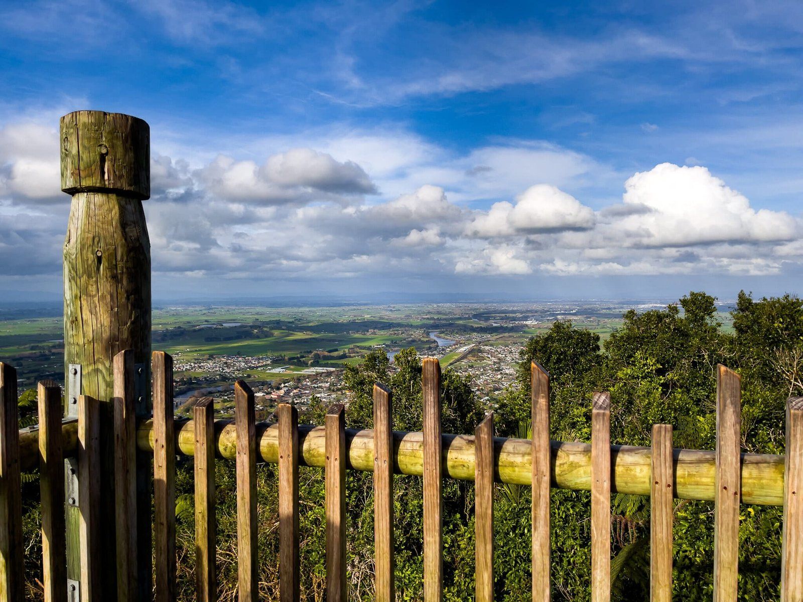
Te Araroa runs along the over 300-metre-high ridge of the range for about 10 km, but the Waterworks Walk gives you access straight up the side to a high point with a viewing tower. It is steep and has many steps, but it can be done in about 90 minutes or so.
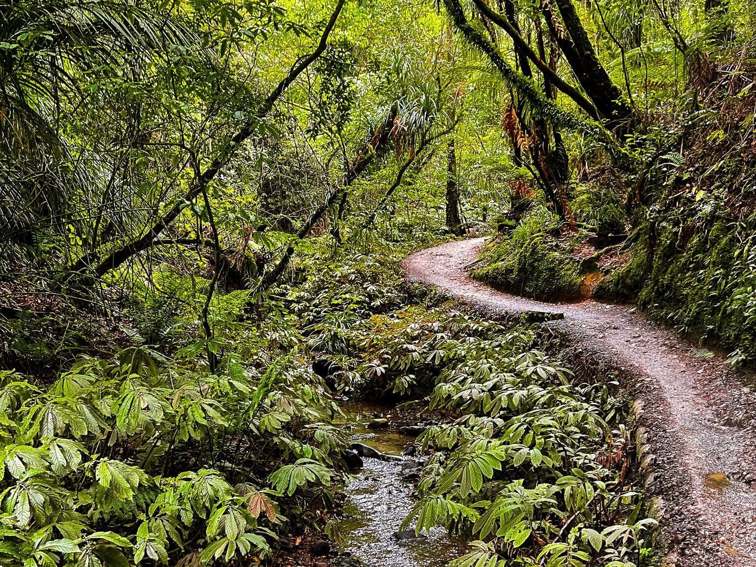
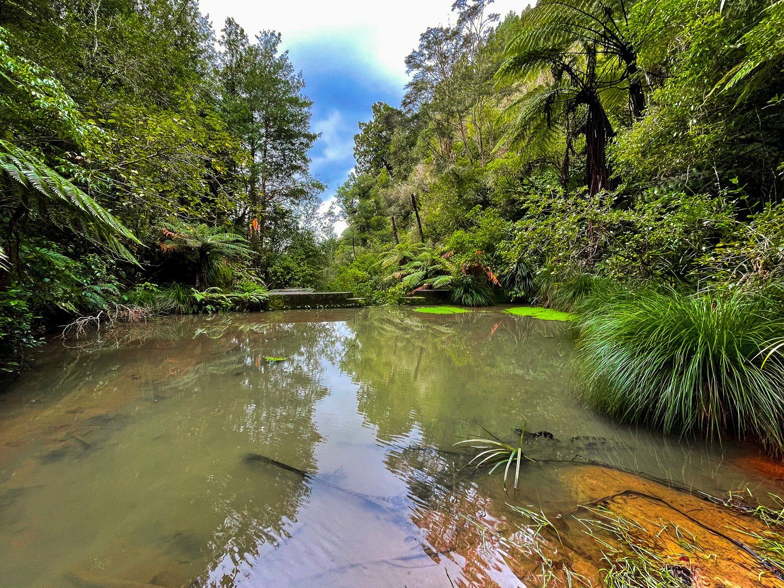
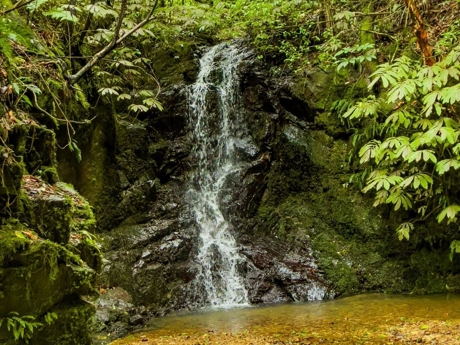
This walk is one of the best pockets of native forest in north Waikato and includes some of the most southerly naturally occurring kauri trees. The first half is easy and follows a stream from a small derelict dam about halfway to the ridge. You can walk up to the top of the dam or bypass it. The second half has all the steps and quickly rises about 300 metres. The payoff is the view from the tower at the top.
If you are short of time, do the short trip to the dam, or consider the shorter and easier Kauri Loop Track at the north end of the range.