The Haast to Paringa Cattle Track was the only overland route connecting the road ends at Paringa and Haast until State Highway 6 was completed in the 1960s. The track was constructed in 1875 so farmers in the Landsborough and Cascade Valley areas could sell their cattle. It was an annual two-week journey to the sale yards in Whataroa, about 120 km north of the Paringa end of the Cattle Track.
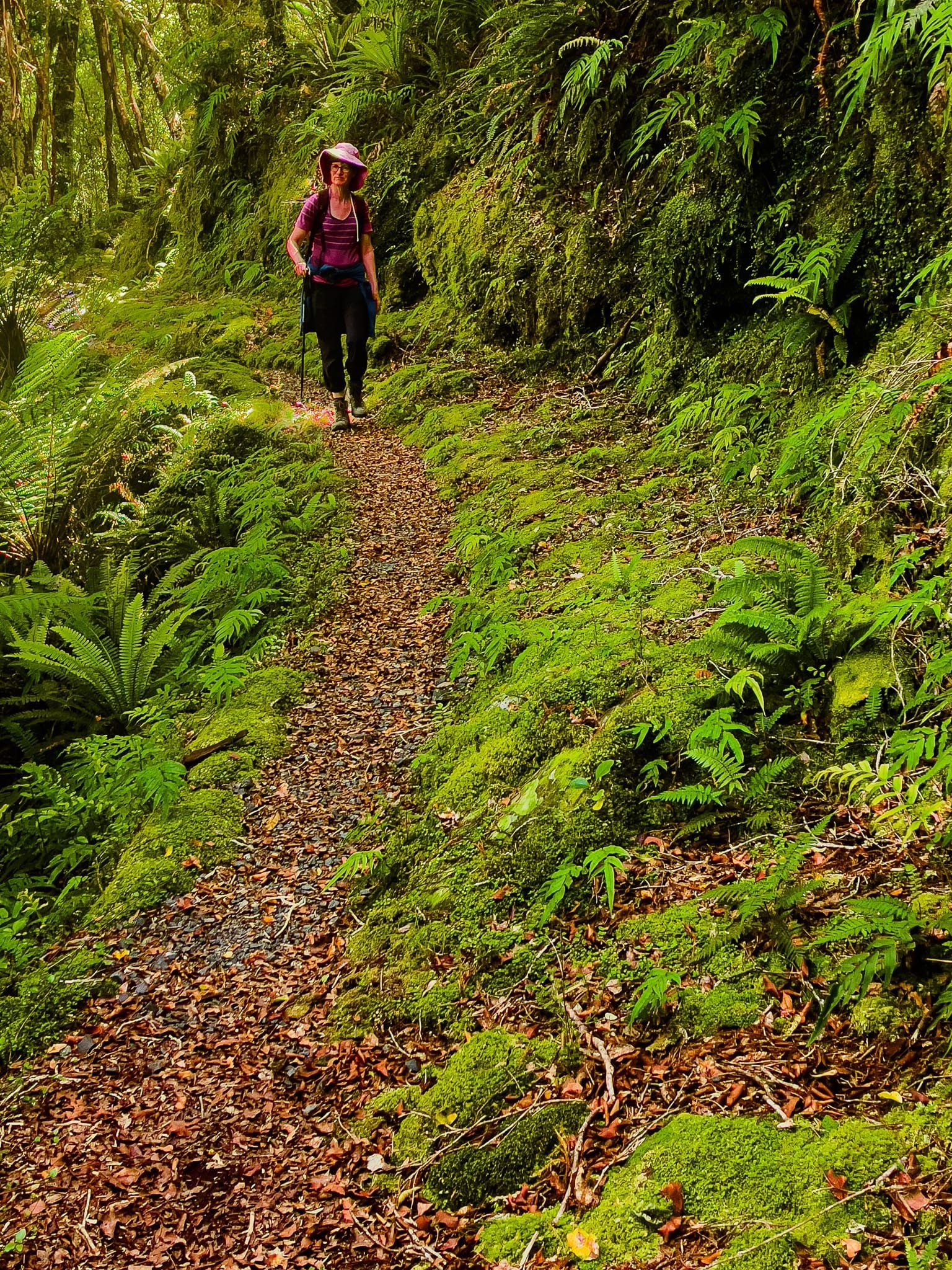
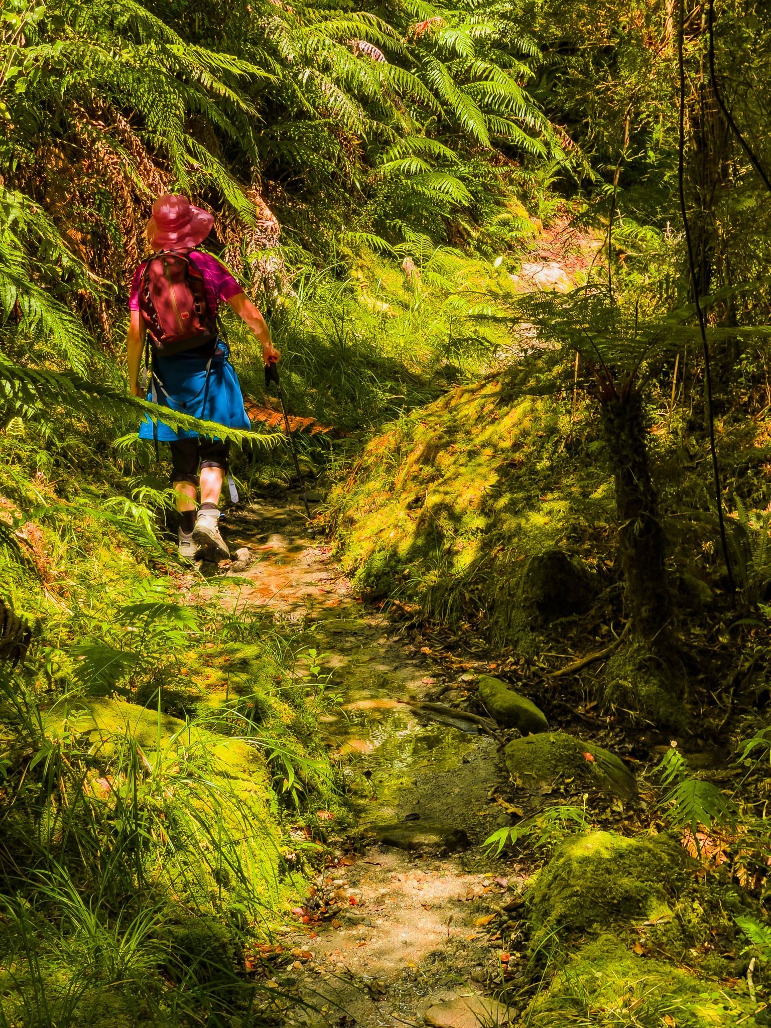
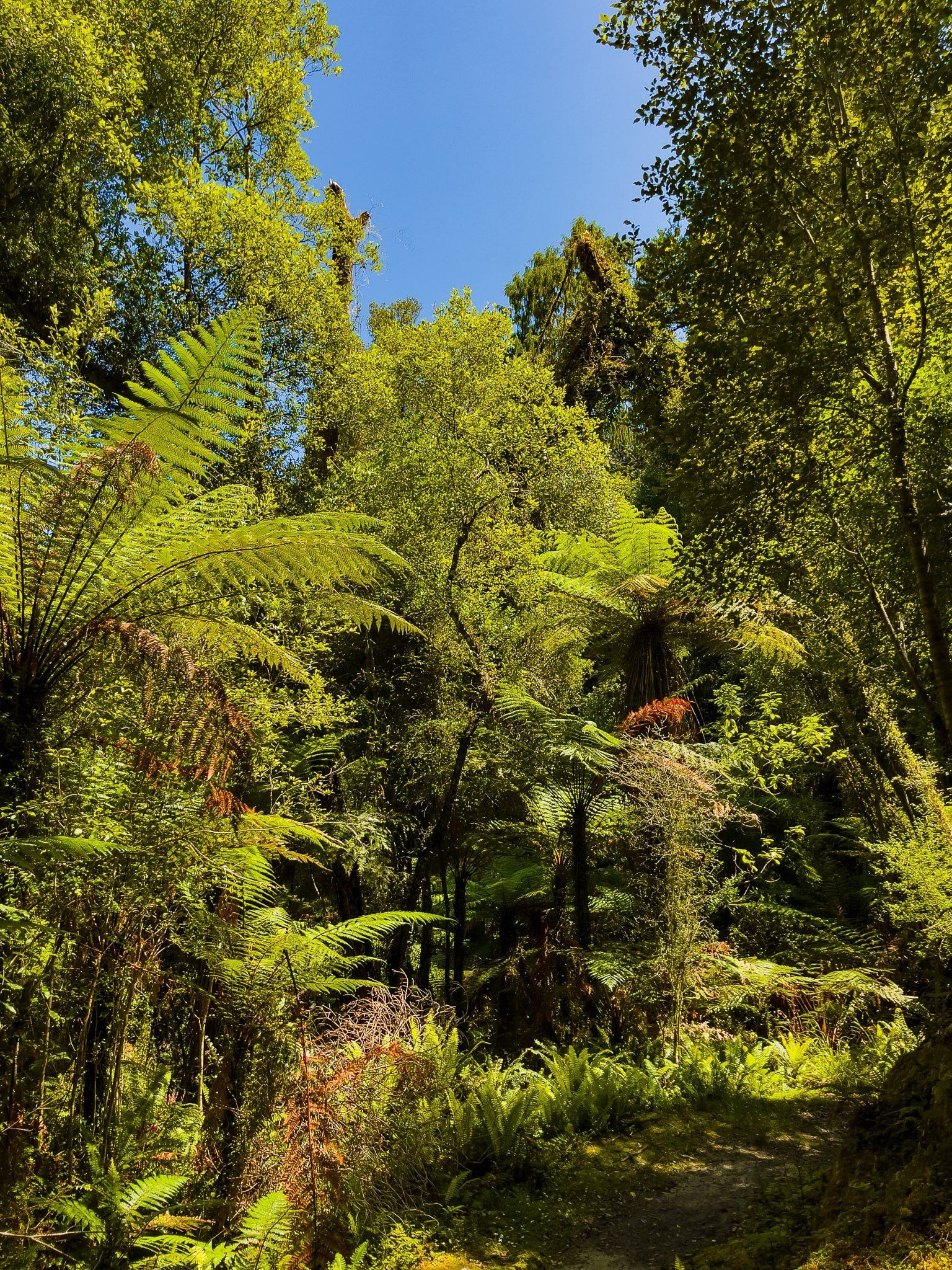
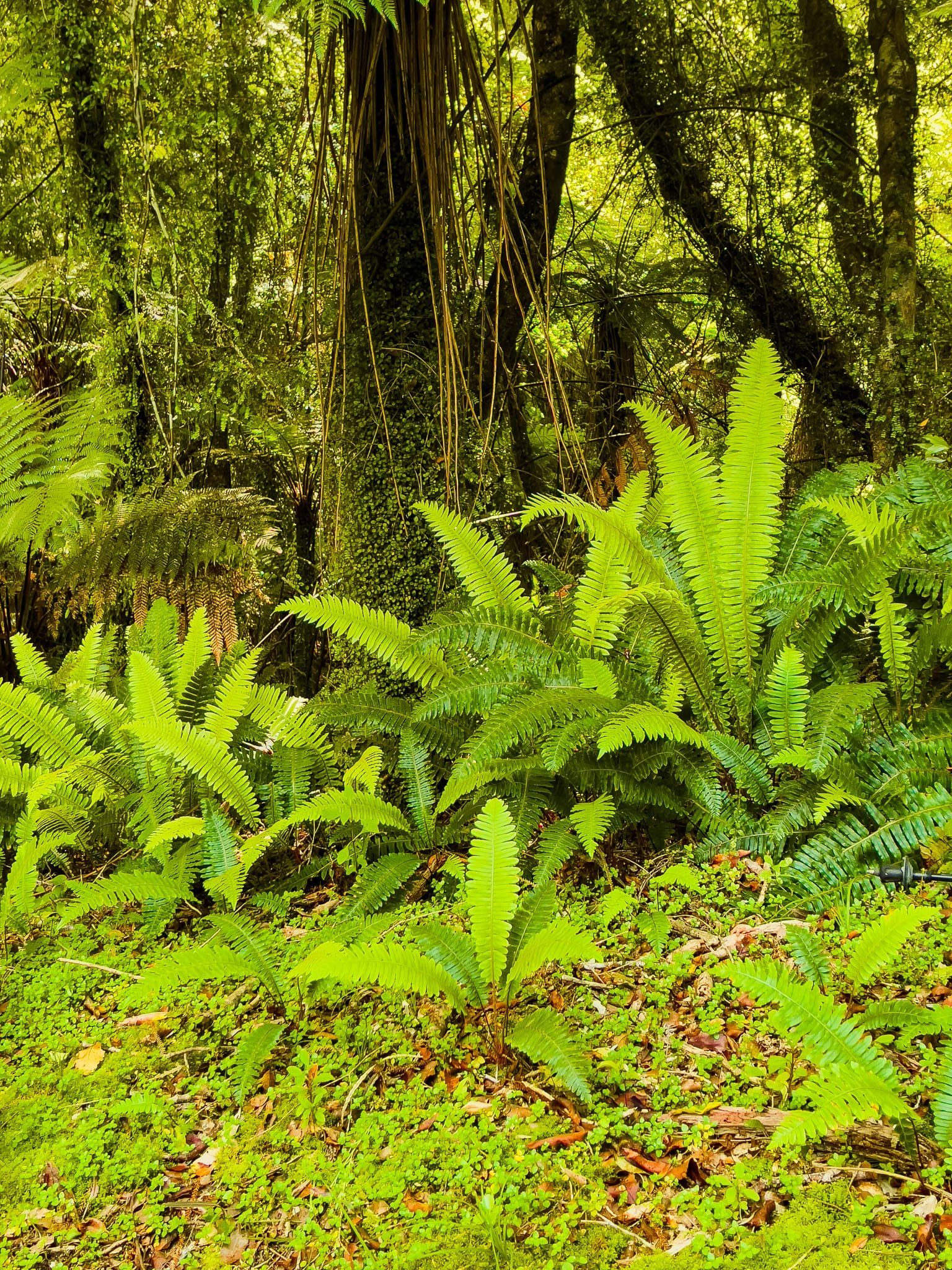
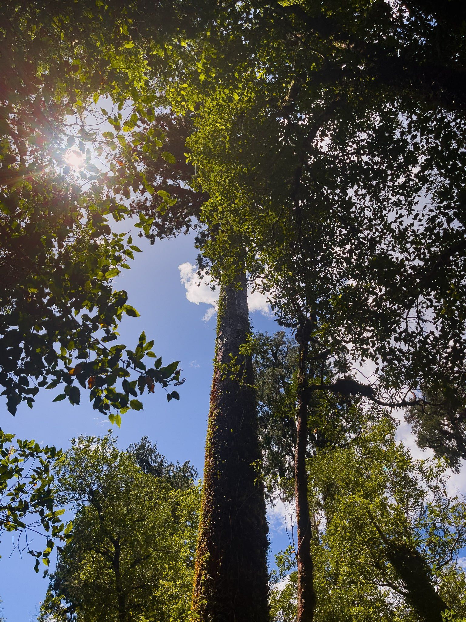
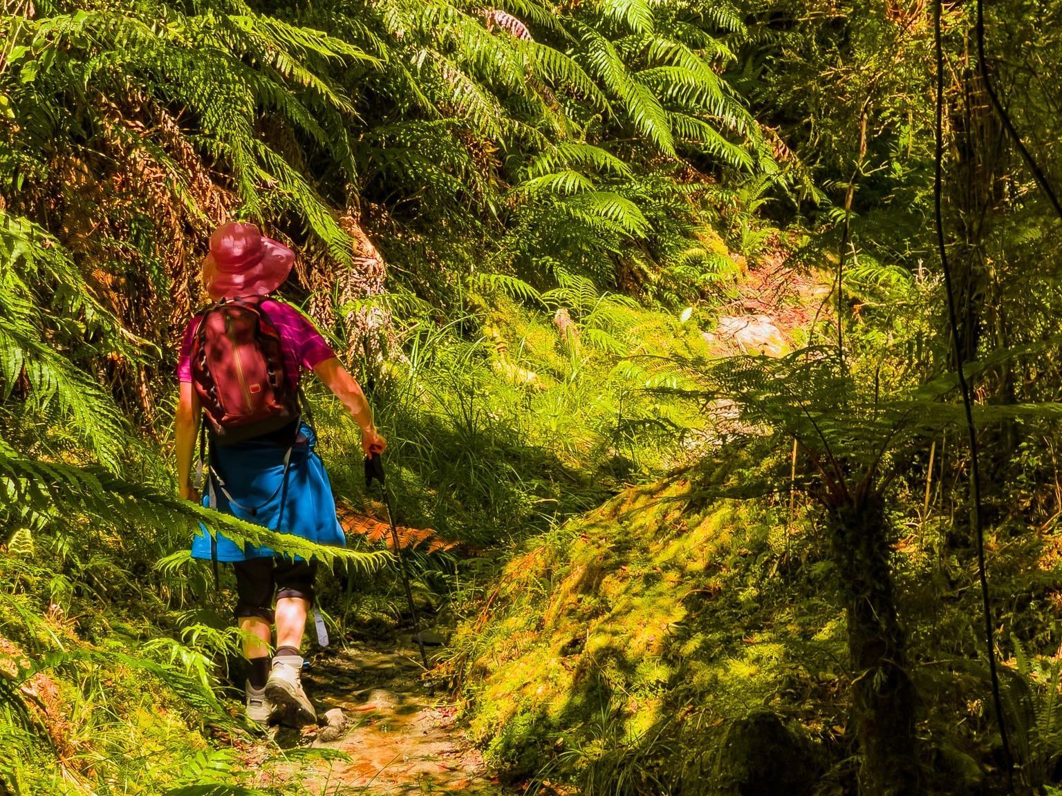
Today, it is a hiking track with various short and multi-day options. The best place to start is the Paringa end, signposted off State Highway 6 halfway between Lake Moeraki and Lake Paringa. From there, a short option is a one-hour walk to the Blue River (Blowfly) Hut. This is a relatively flat walk through beautiful rain forest, with glimpses of the Moeraki River valley. It is wetter than other walks in the region, so expect a bit of mud and water on the ground in places.
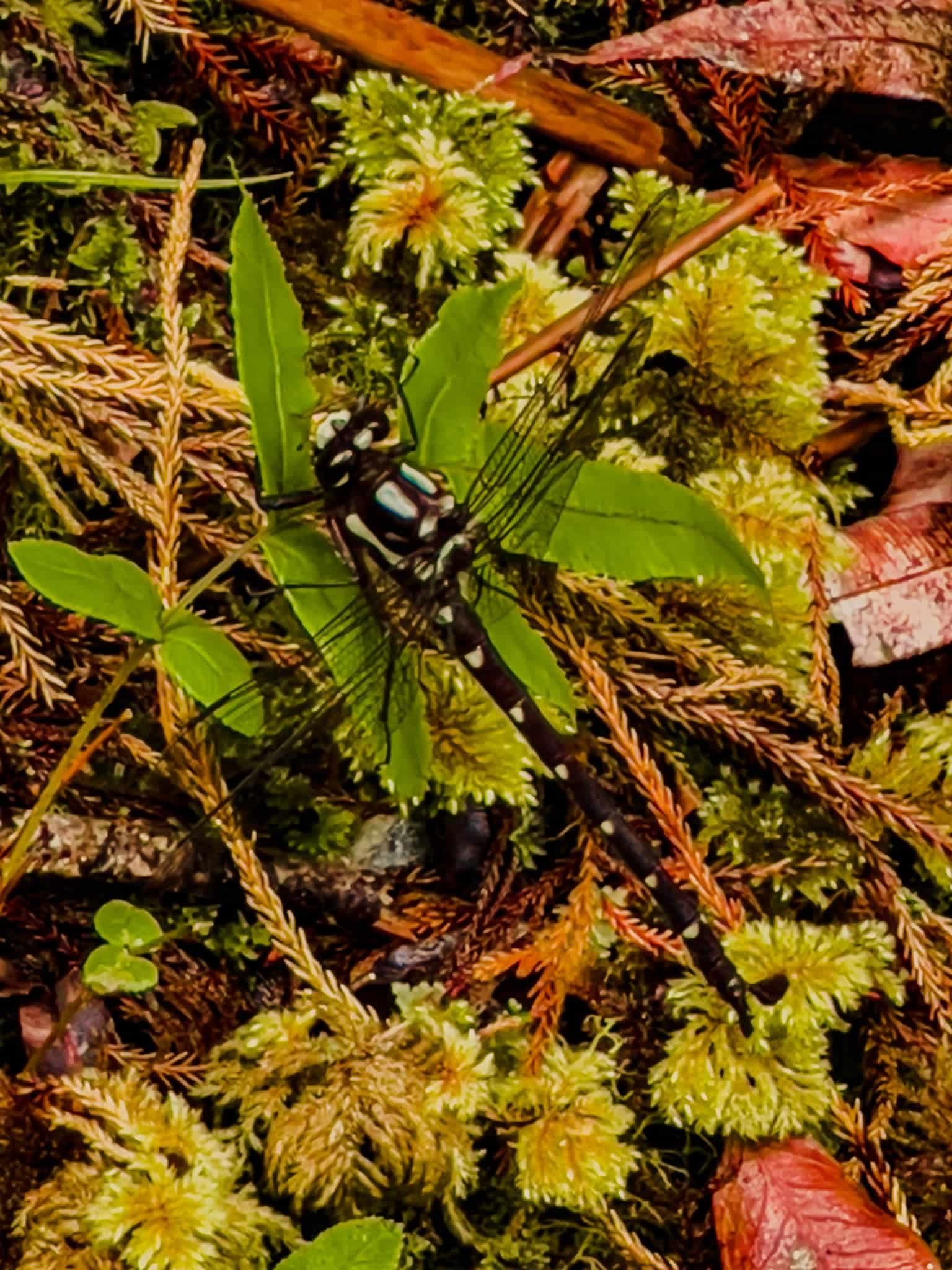
A particular feature of the walk is the astonishing number of giant forest dragonflies or kapokapowai. They are territorial, and one even deliberately flew at me! Ngāti Rongomai iwi of the Rotorua region describe a battle in which kapokapowai came to the aid of a leader, Rakeiao, flying into the faces, eyes and noses of his opponents. Kapokapowaiare are also long-lived. The nymph stage alone is about 5 years!