
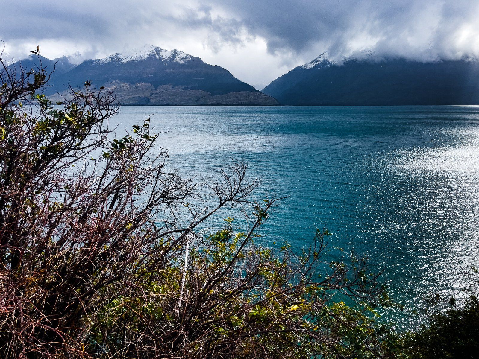
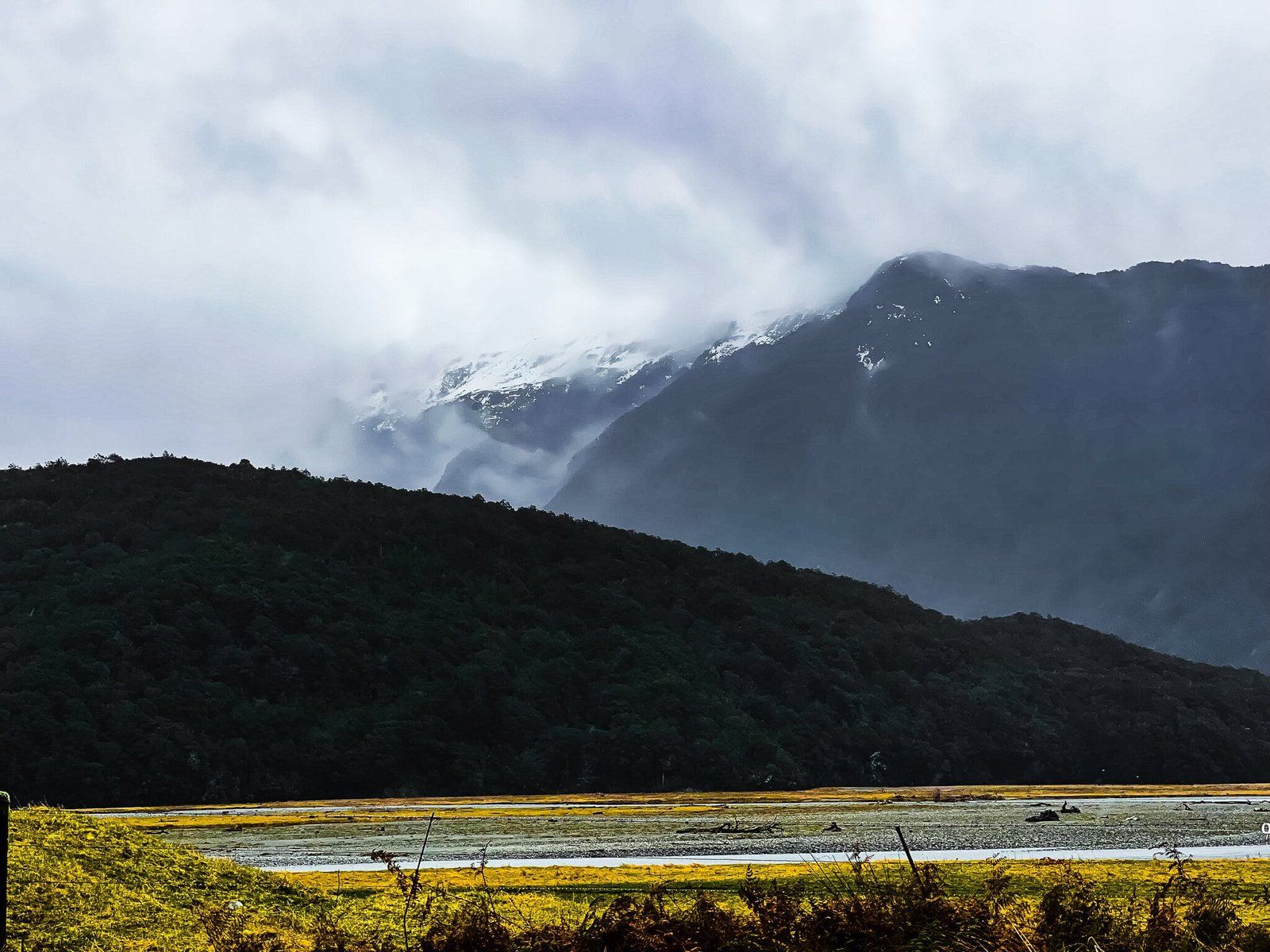
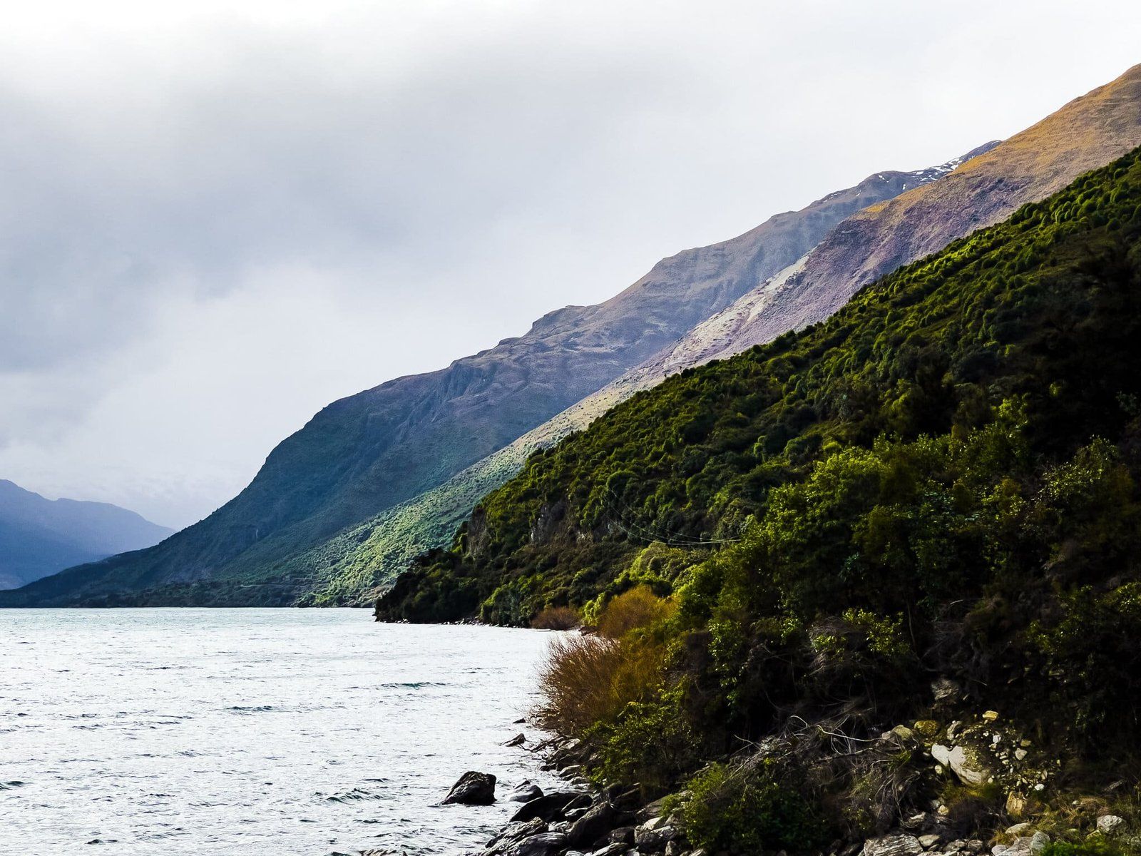
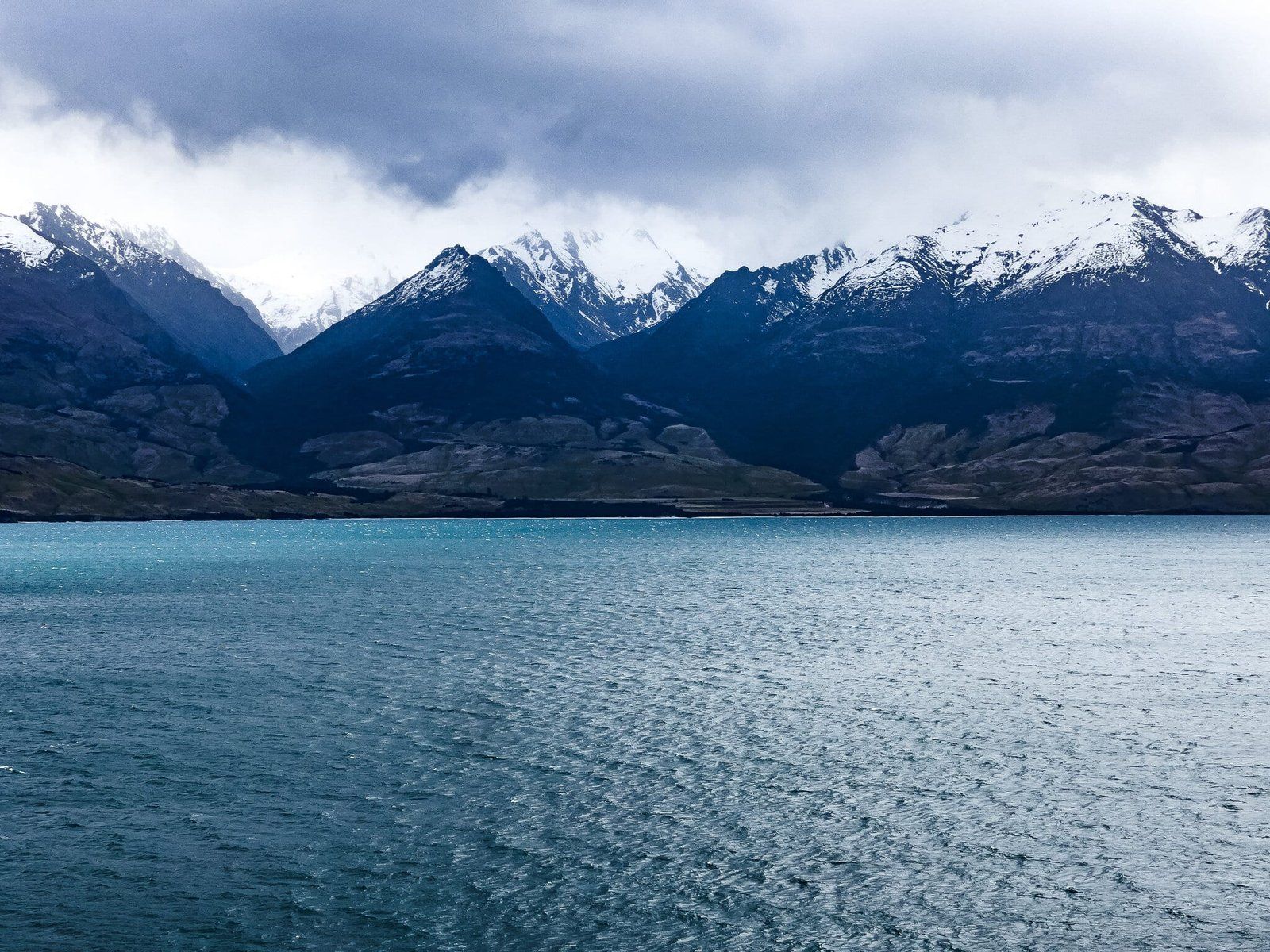
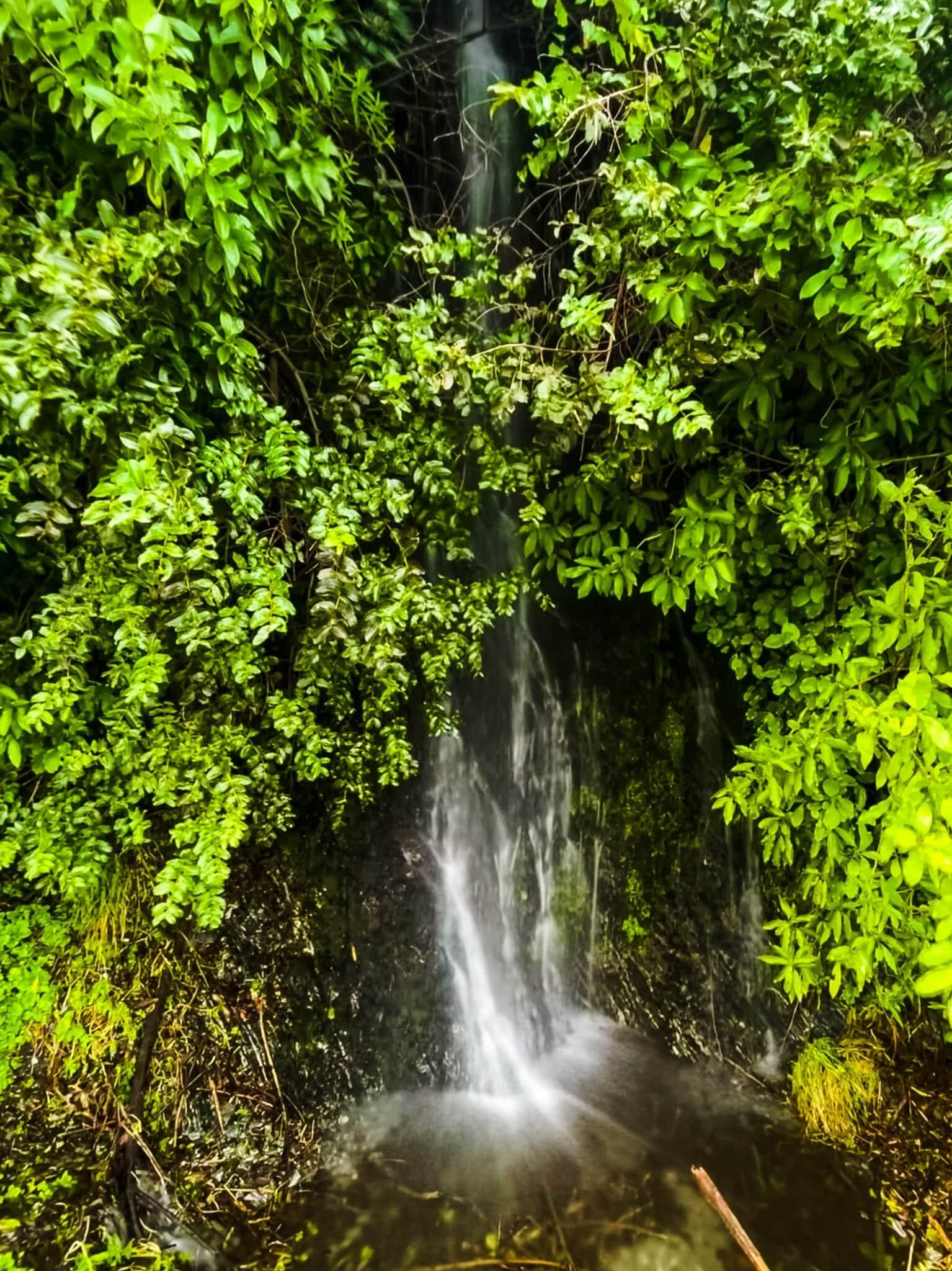
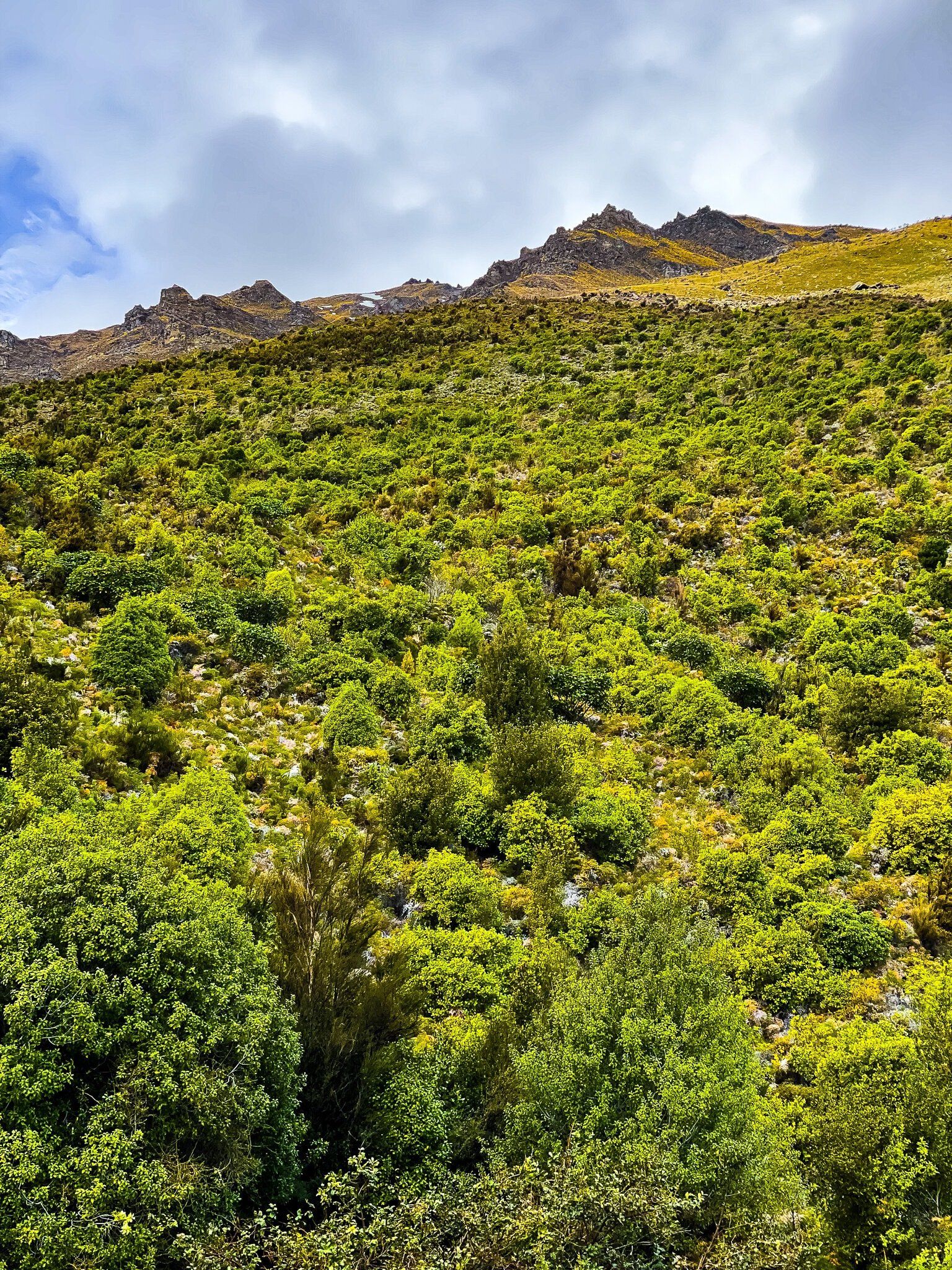
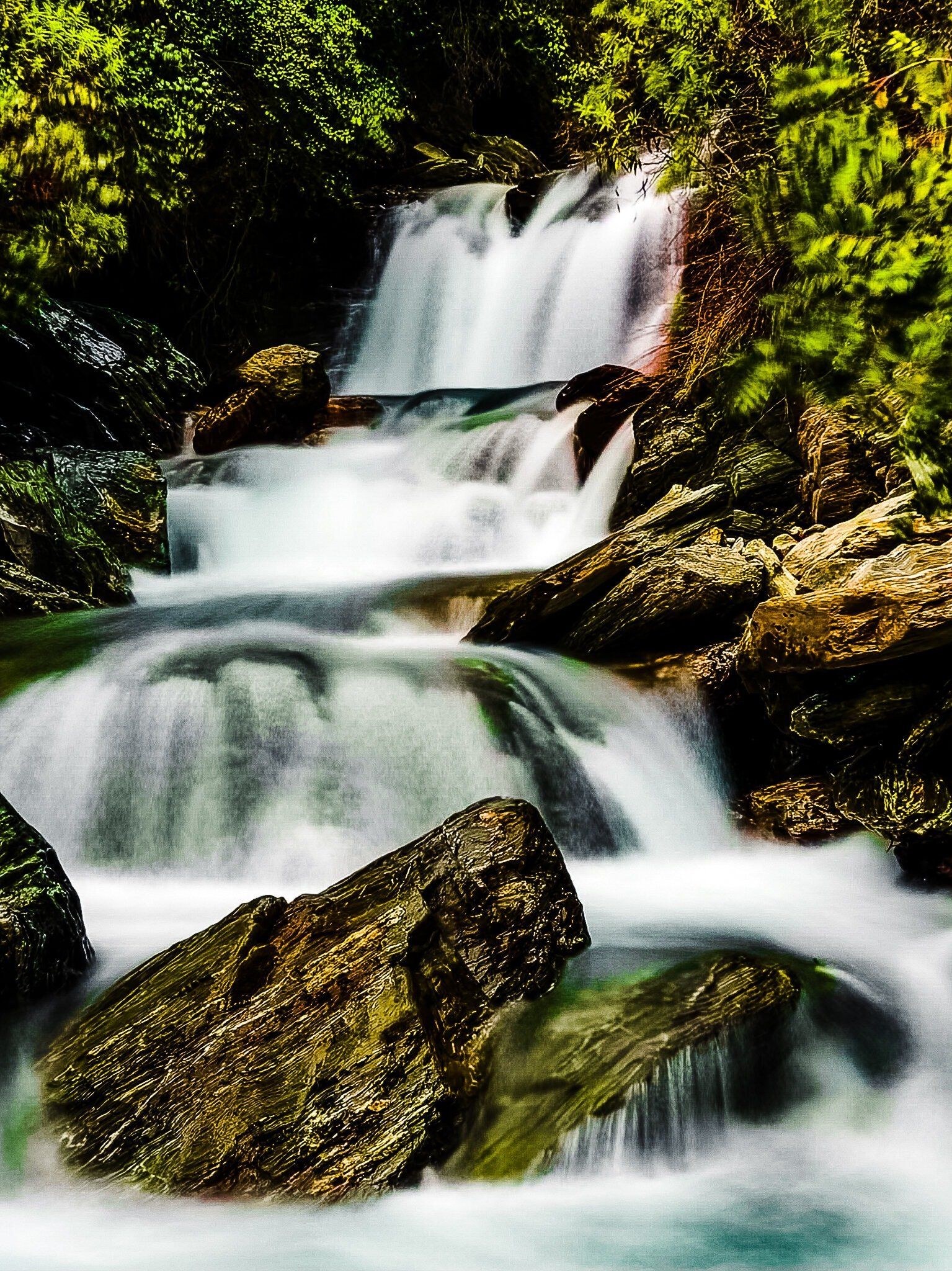
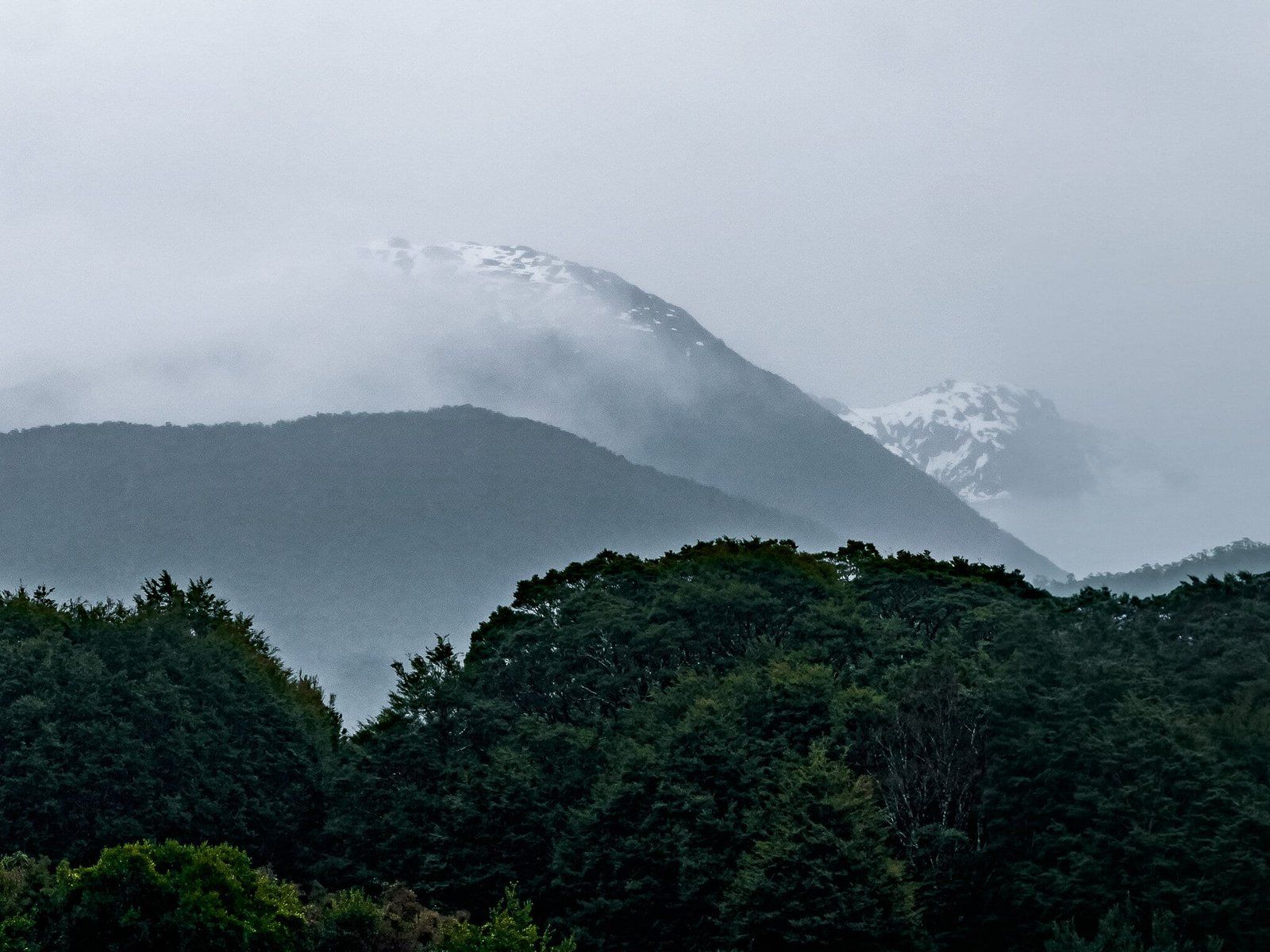
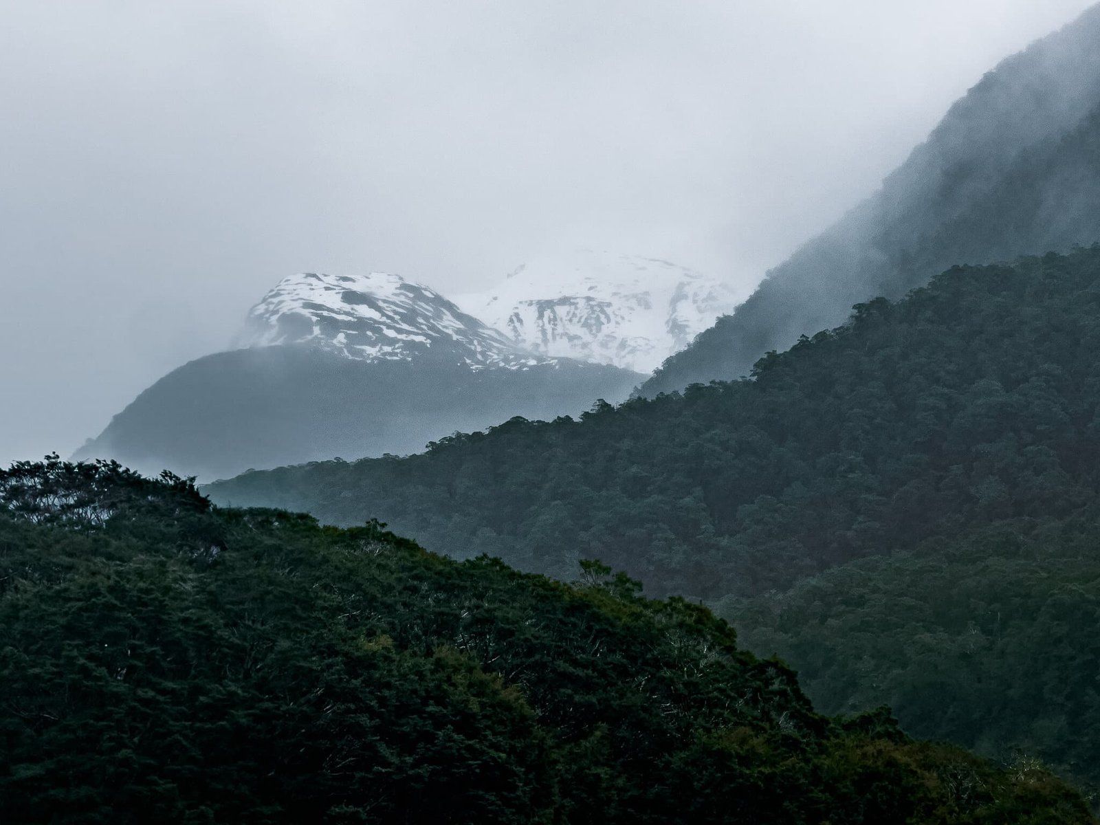
We have often taken the very scenic Wanaka to Haast Pass / Tioripatea drive when we have had a day off from skiing. Some of these days have been pretty wet, but don’t let the rain put you off. The waterfalls, many with no name, come out in force and a walk through beech forest in the rain is particularly stunning. Then there are the moody shots across the lake and up the valley.
It is safe to stop on the side of the road for several of the unnamed falls, but don’t drive too fast or you will miss them. As you head beyond Makarora Into Mt Aspiring National Park and towards Haast Pass there are several accessible named waterfalls – Dorothy, Fantail and Thunder. They are all spectacular in the wet!
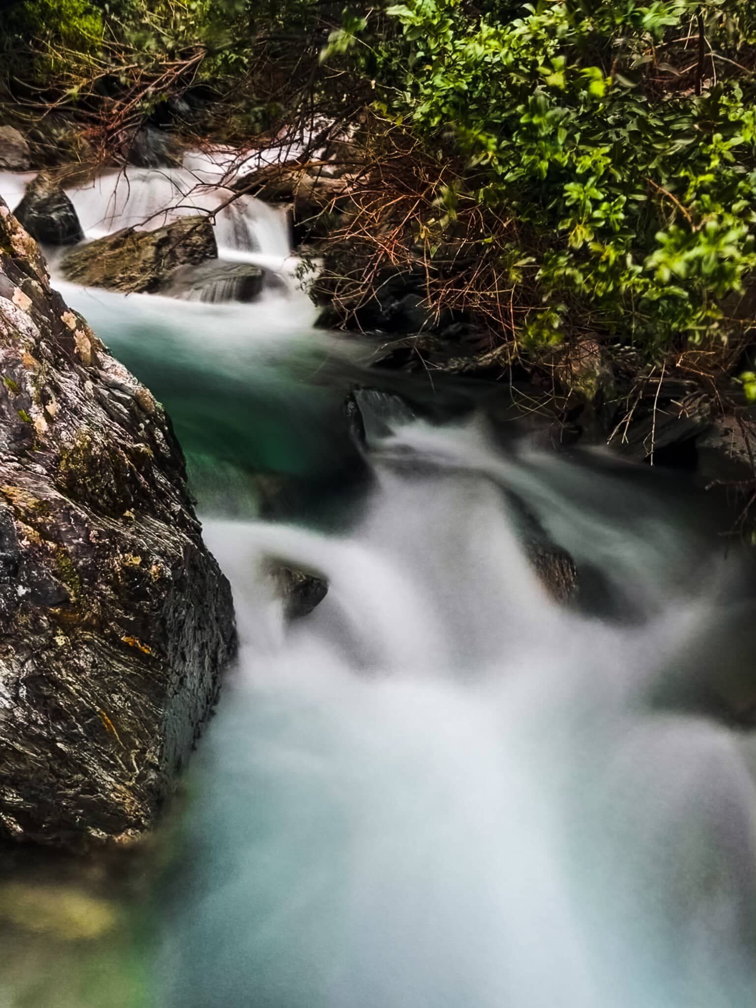
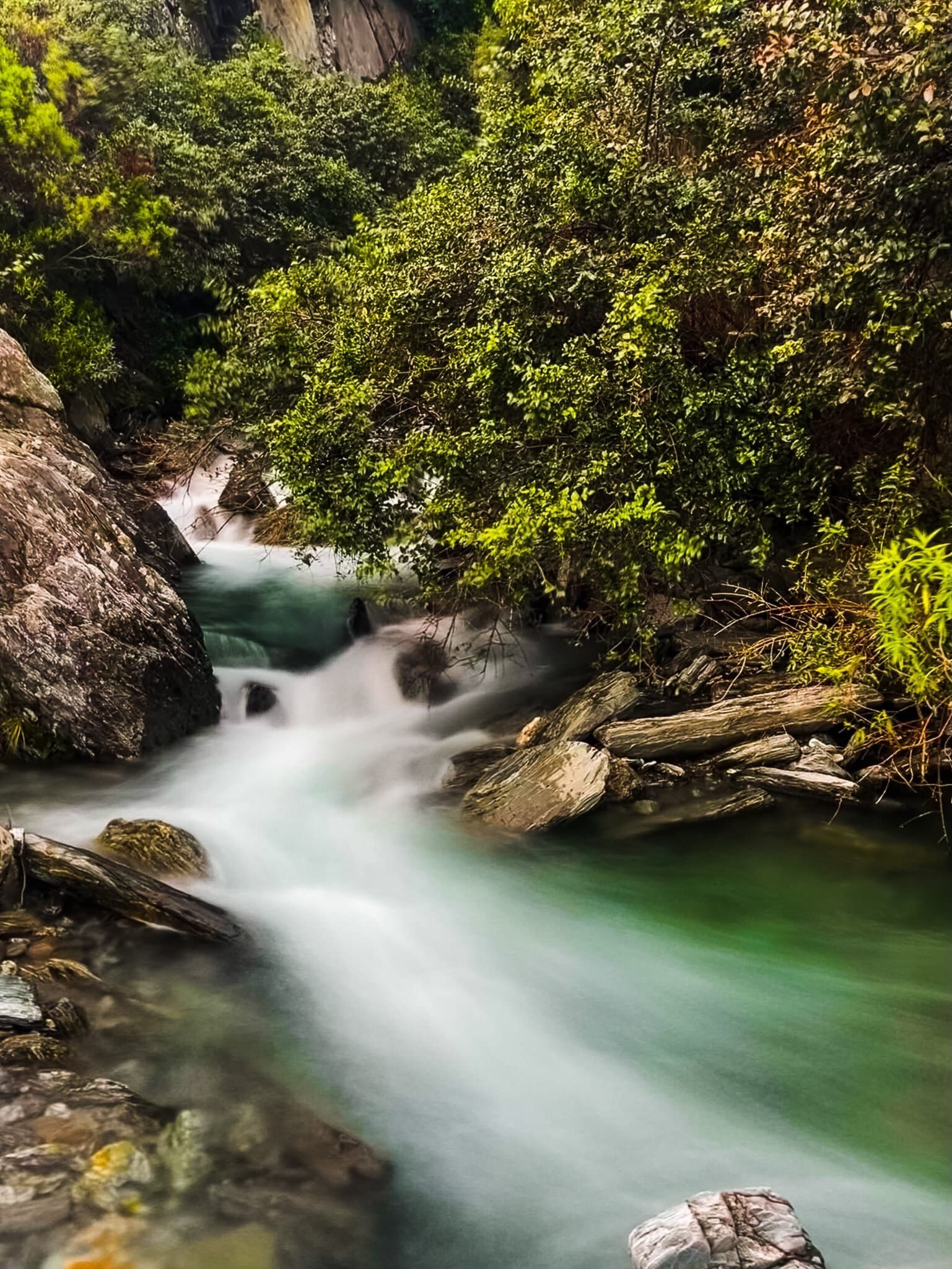
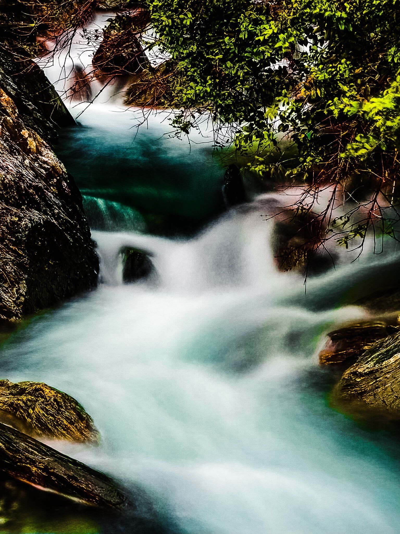
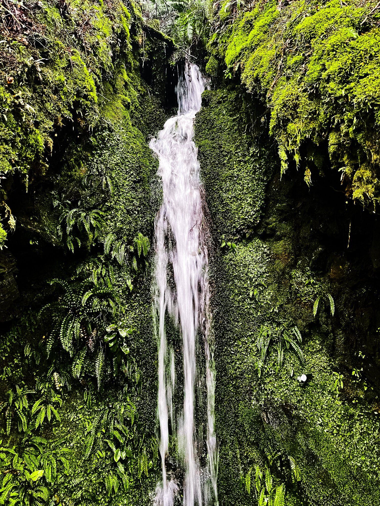
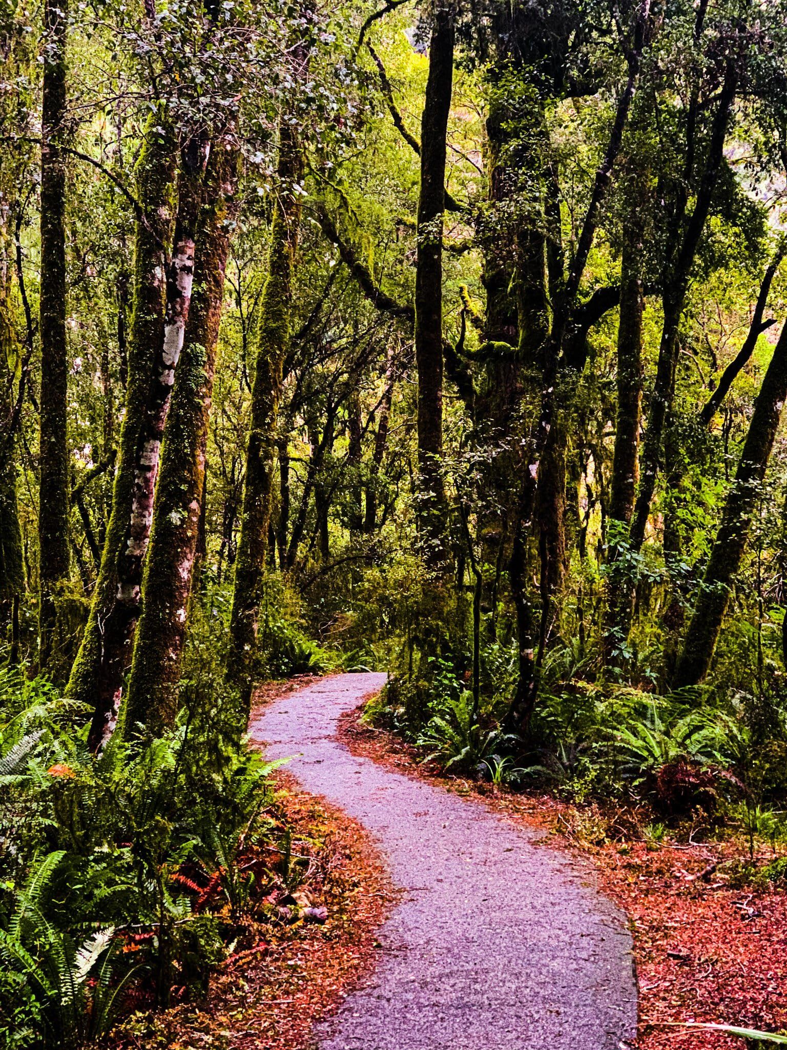
The best wet weather forest walk is the Bridle Track, which runs between Davis Flat and the Haast Pass highpoint. When it rains, several of the tumbling mountain streams it crosses really come to life.
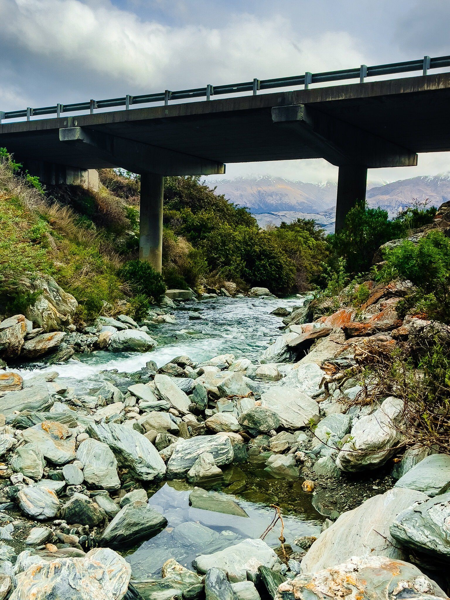
Camp Creek
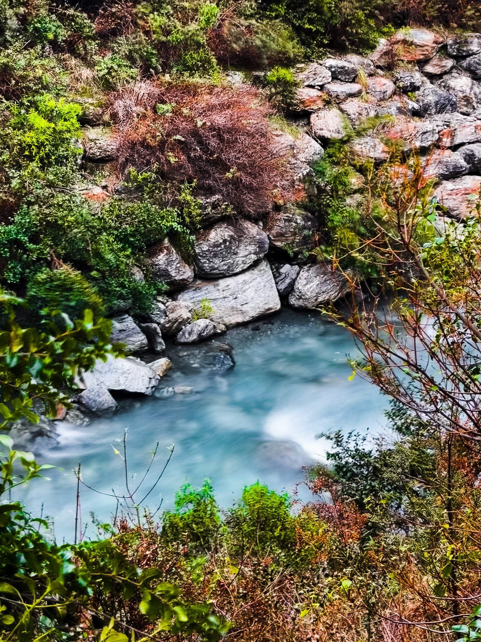
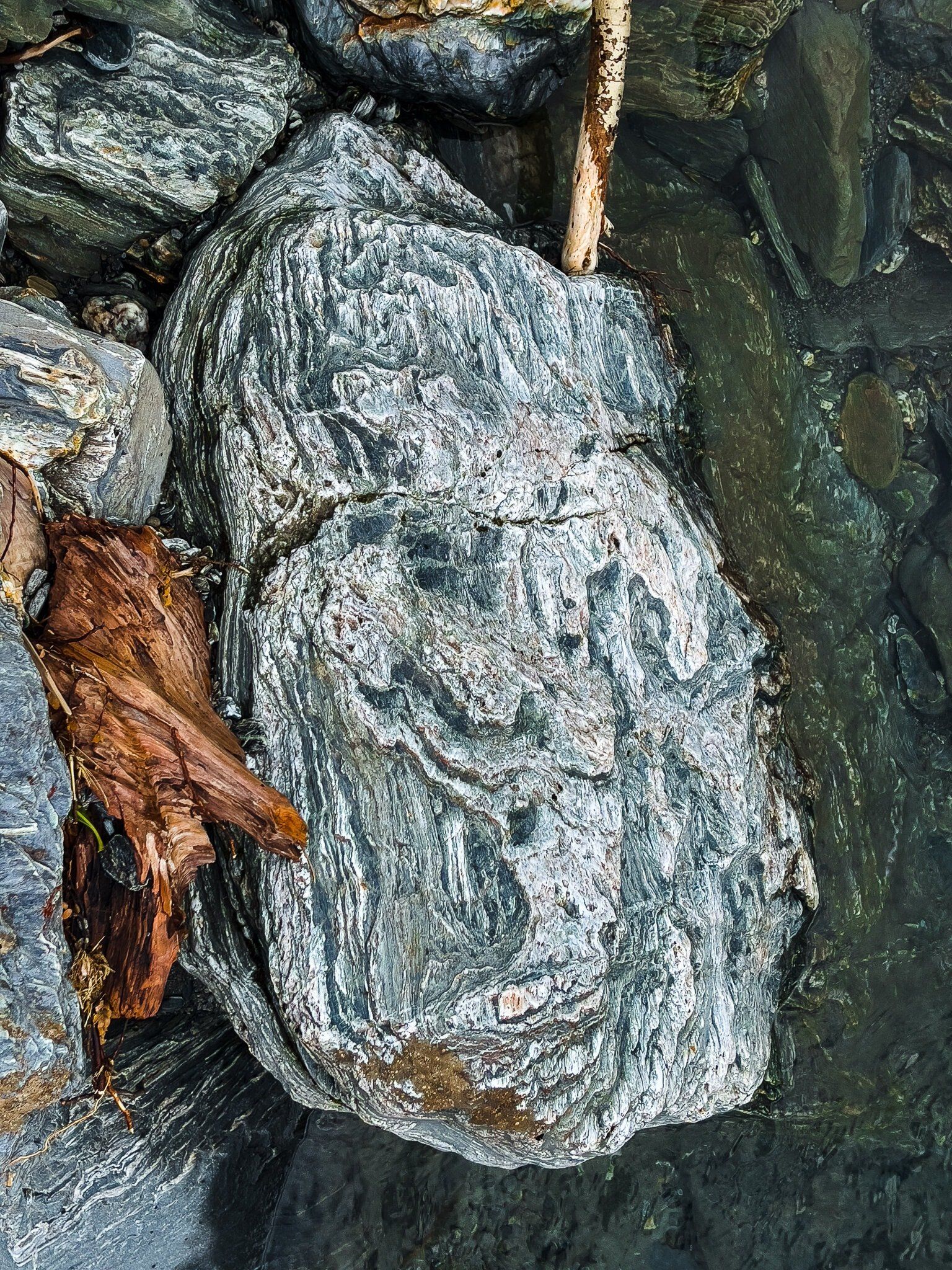
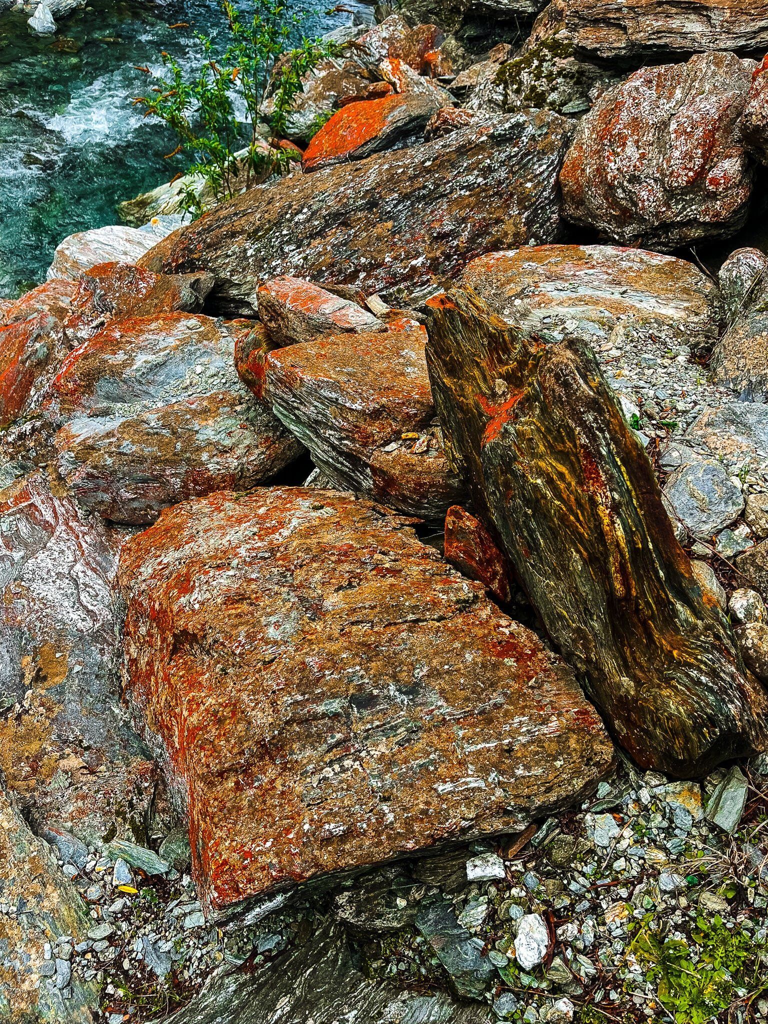
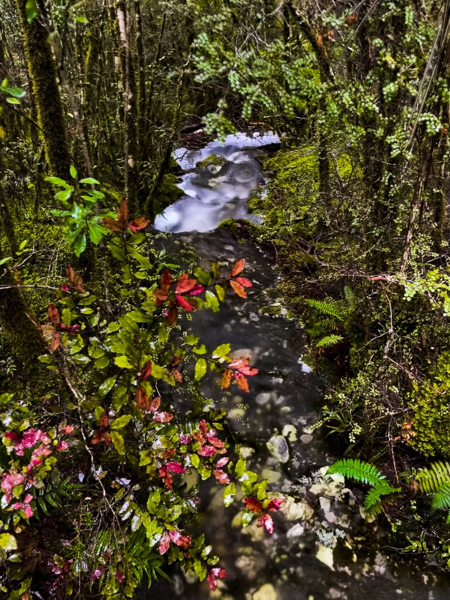
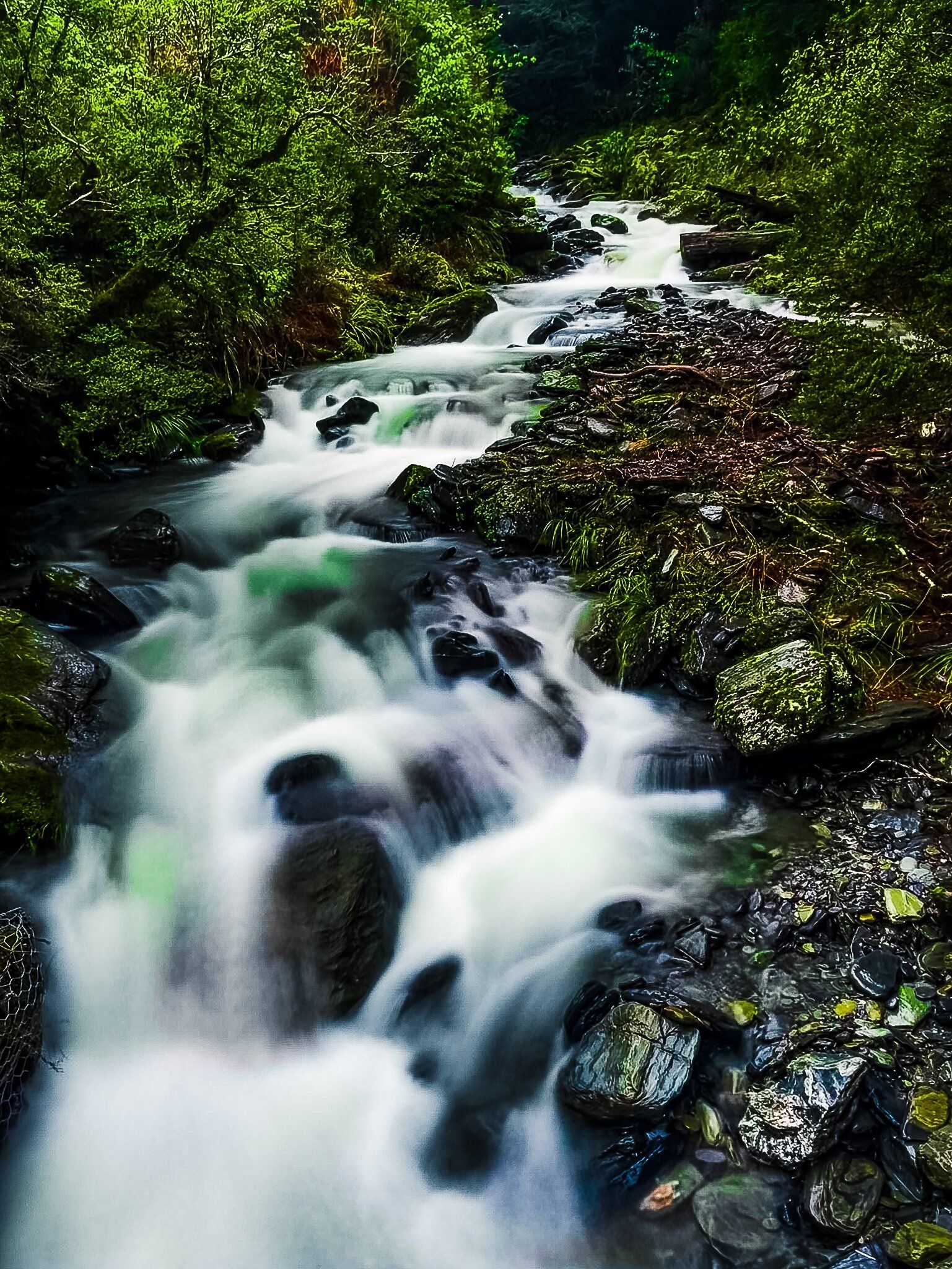
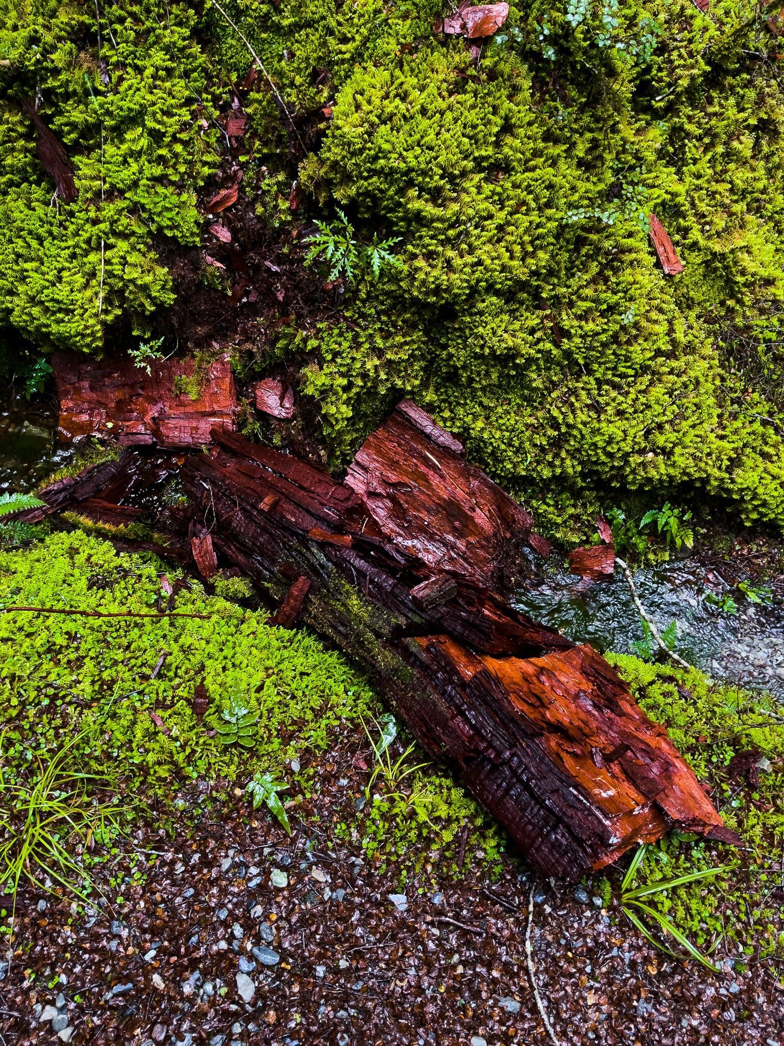
Camp Creek is the first significant mountain stream that you cross heading north on SH6 beyond the Lake Hawea – Lake Wanaka isthmus. Drive slowly and you will see a reasonably significant waterfall above the stream. There is room to park near the bridge, then you can clamber down to the stream on the north side. Then work your way along the rocks and stones up the stream for a better view. The colourful rocks, including the red-orange lichen, is a bonus feature.
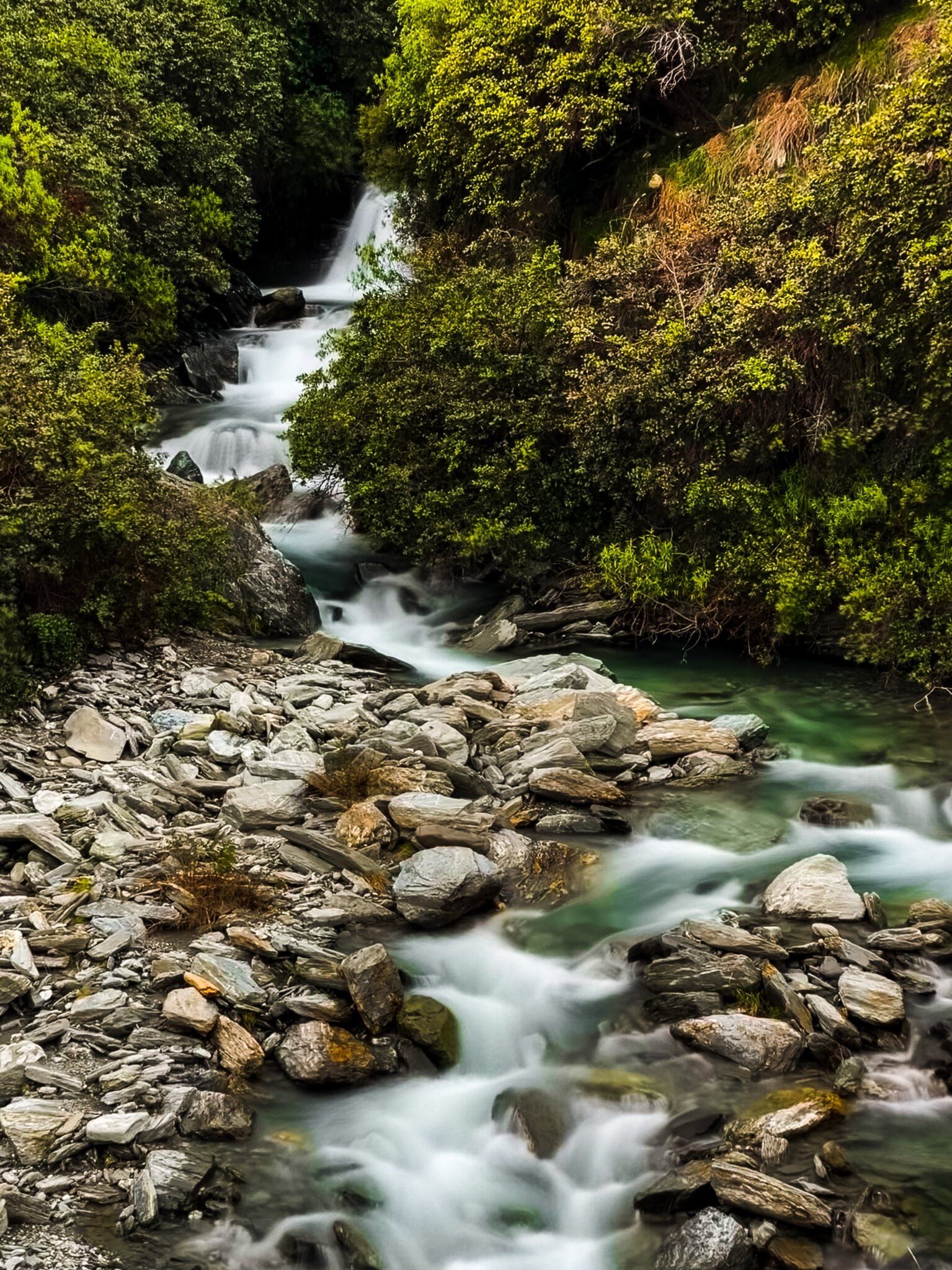
Waterfall Creek
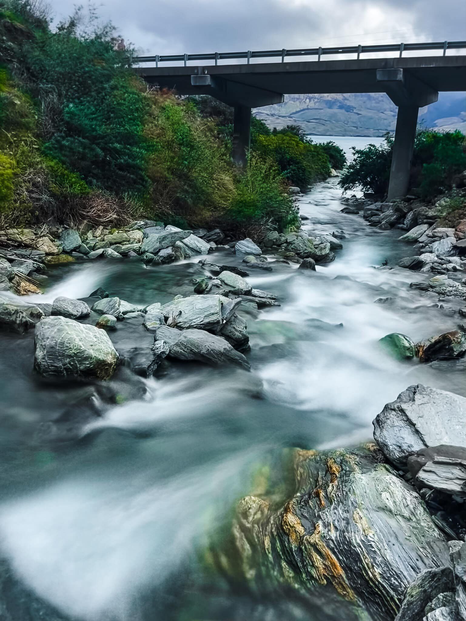
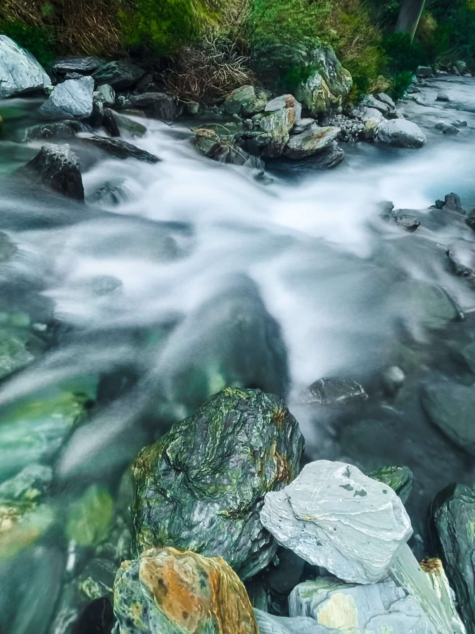
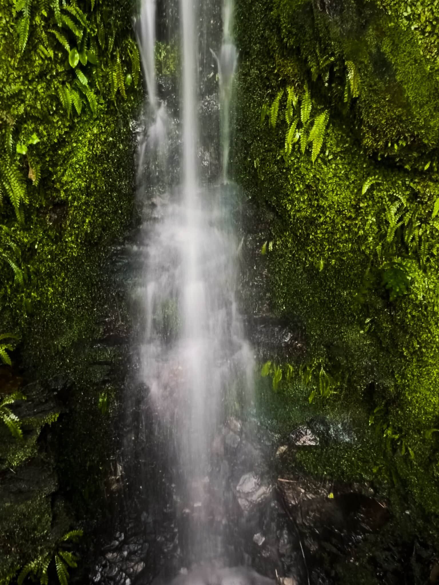
SH6 crosses Waterfall Creek between Camp Creek and Boundary Creek (where there is a lakeside campground). There is a very attractive waterfall right beside the road, and there is room to stop safely. Walk onto the bridge for the best view. On the lake side of the bridge, you can just see the bottom of the falls as it tumbles into the lake. Keep an eye open for cars while you are on the bridge.
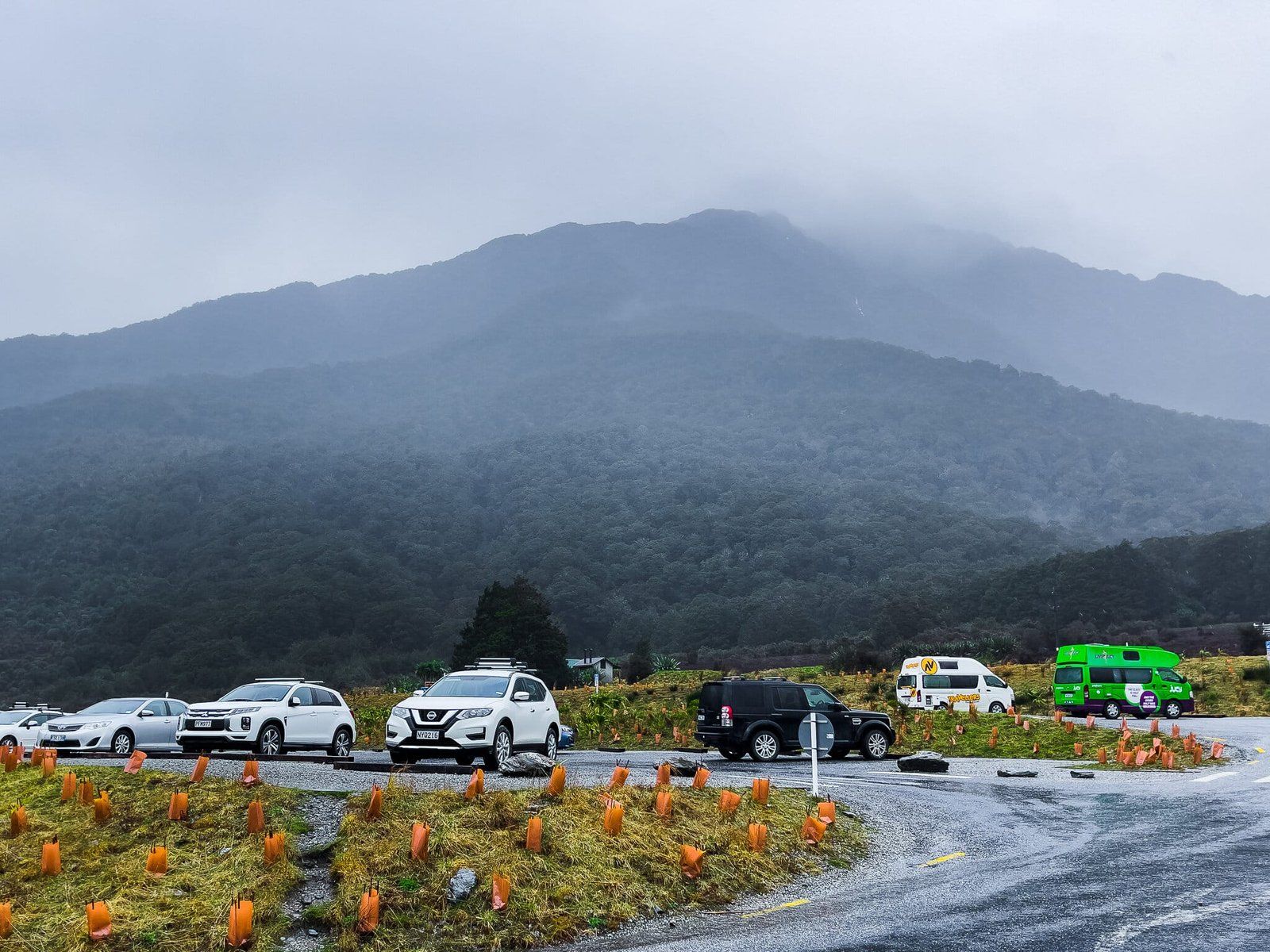
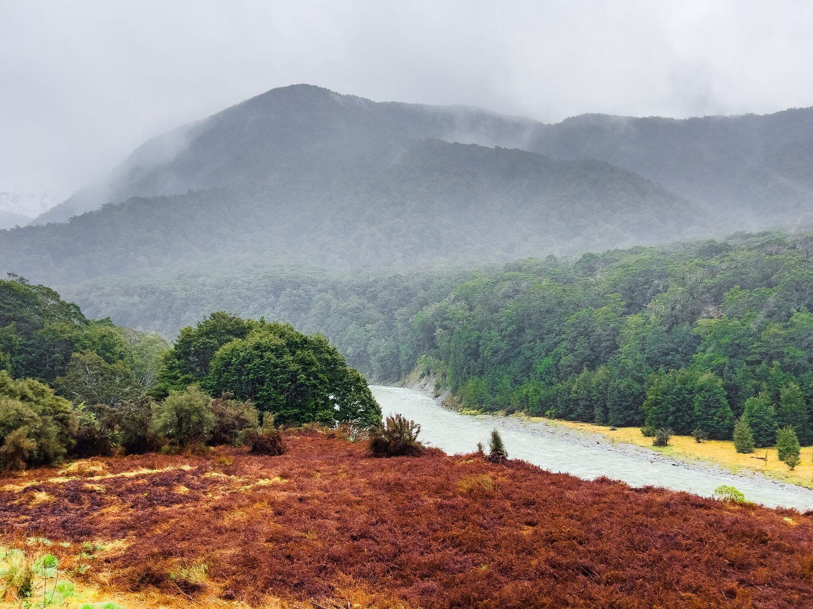
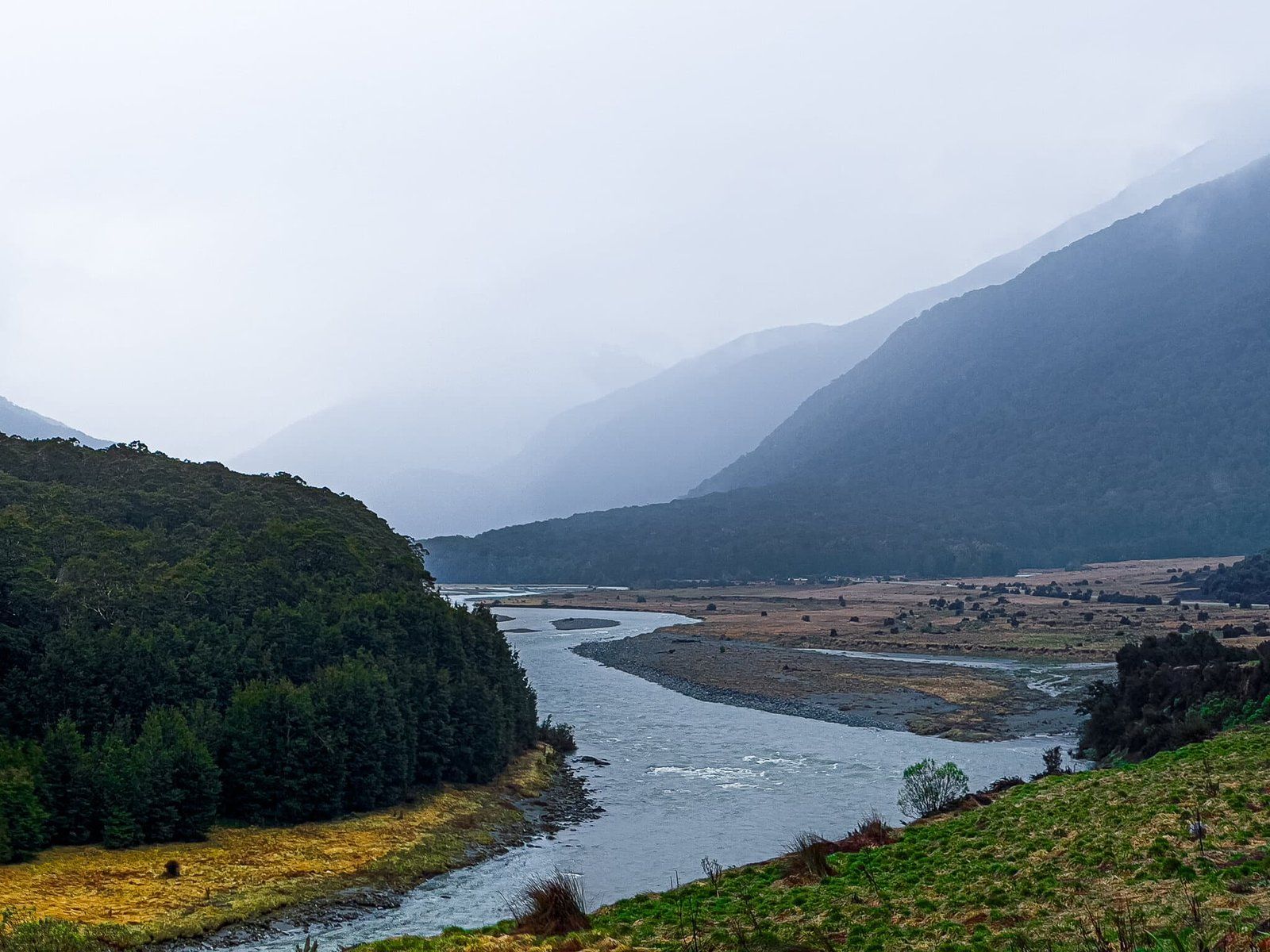
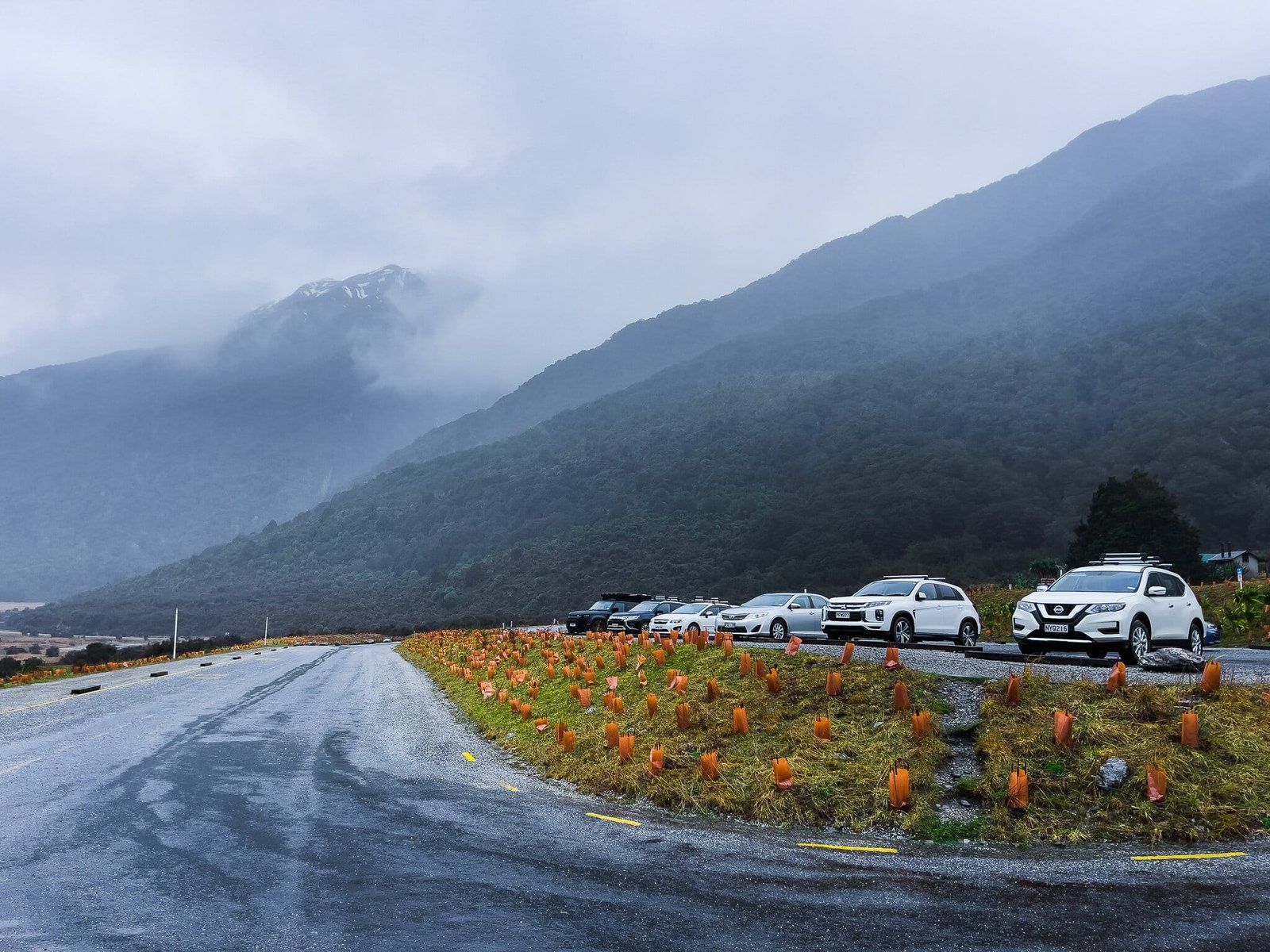
Blue Pools Carpark
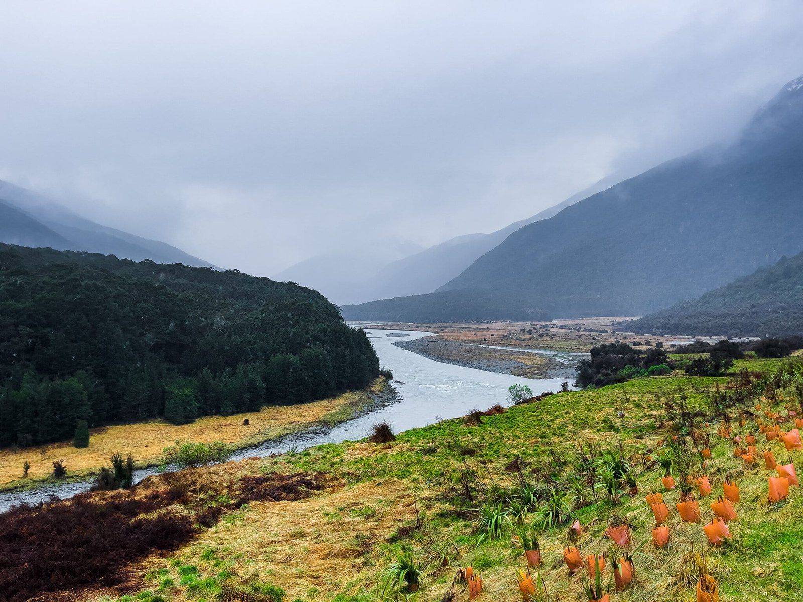
The Blue Pools, the most popular walk in the region, are not the thing to visit in the rain. But you may still want to stop at the new carpark, or the campground on the other side of the road, and take in the misty views up and down the Makarora River valley. Arguably one of the best views from a carpark in the South Island!
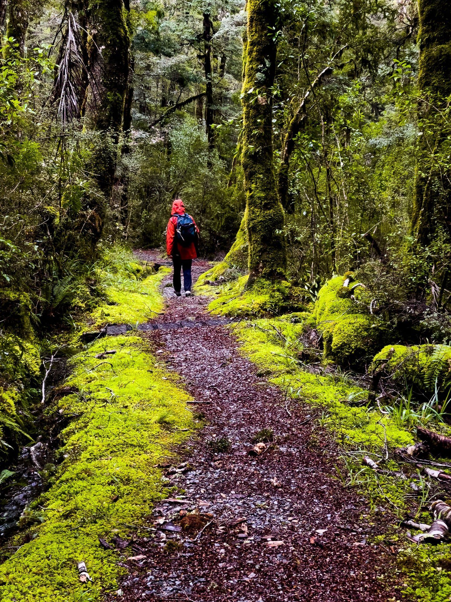
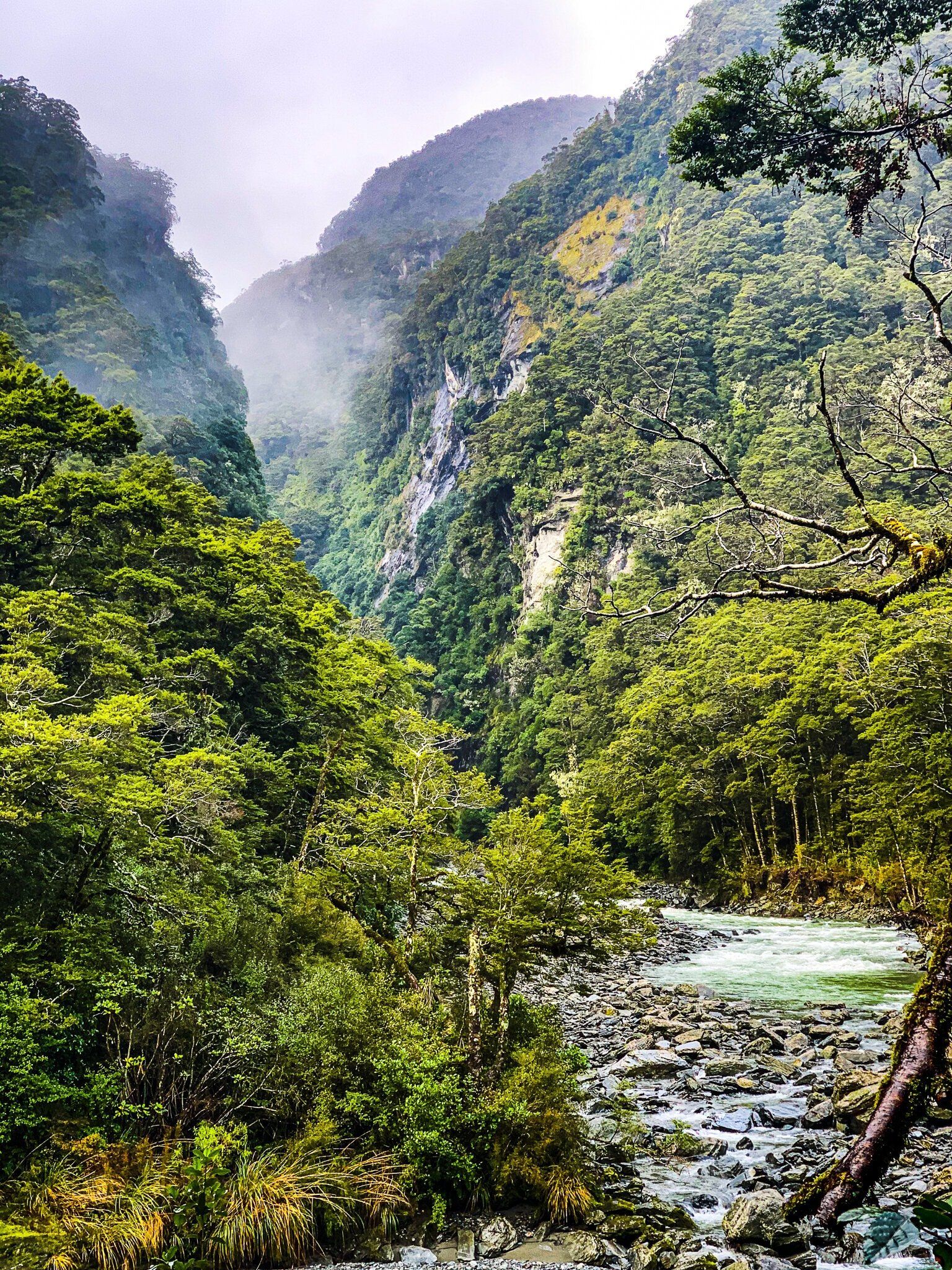
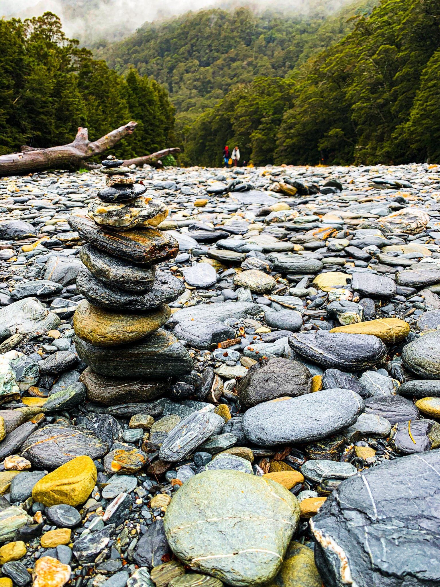
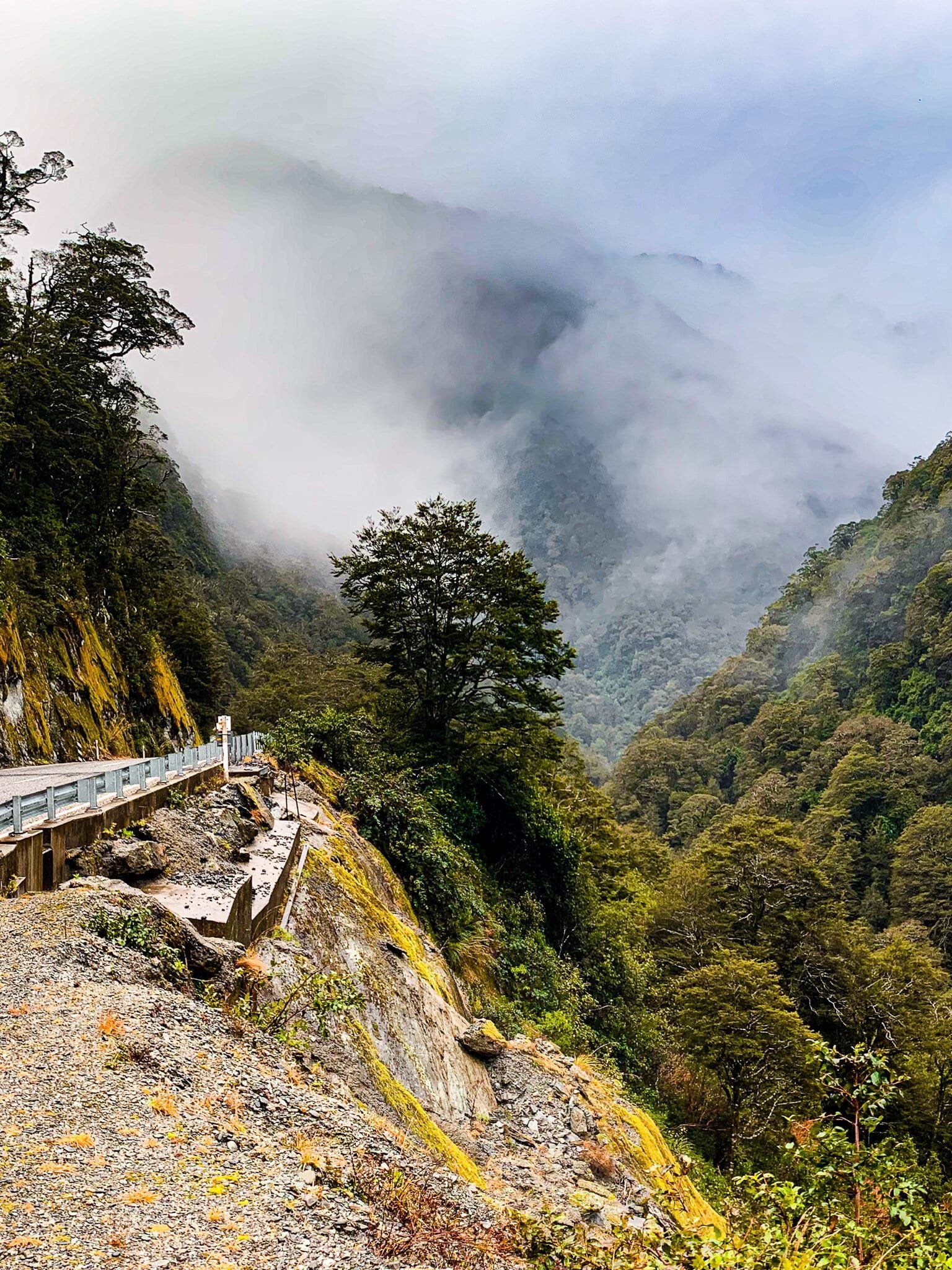
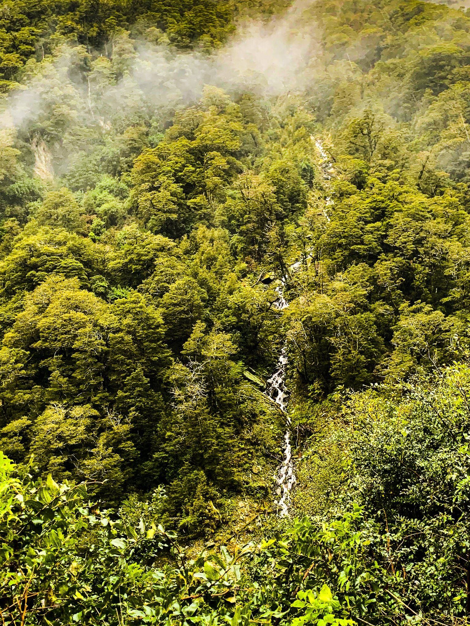
Bridle Track Part 1
The Bridle Track links Davis Flat, about 5 kms beyond the Blue Pools car park, with the high point over Haast Pass / Tioripatea. The track is a remnant of the old pre-road track that linked Haast on the West Coast to Hawea and Wanaka. It is generally about 90 minutes each way, so if it is especially wet and you only have one car, you may only want to walk part of the way, then return. We describe it in two sections here.
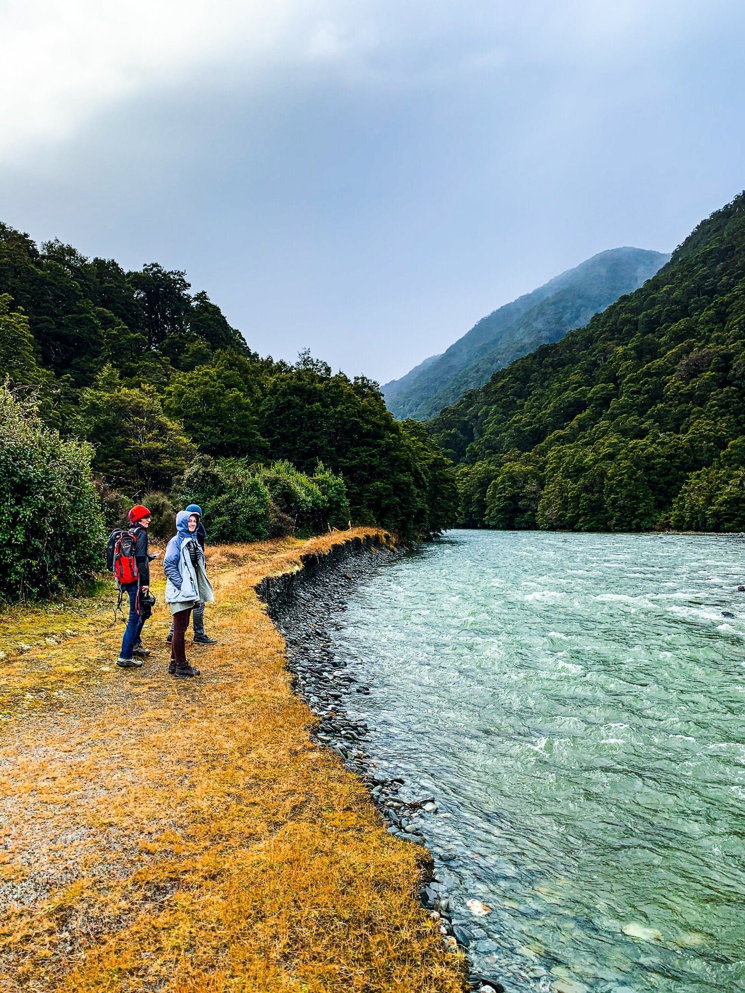
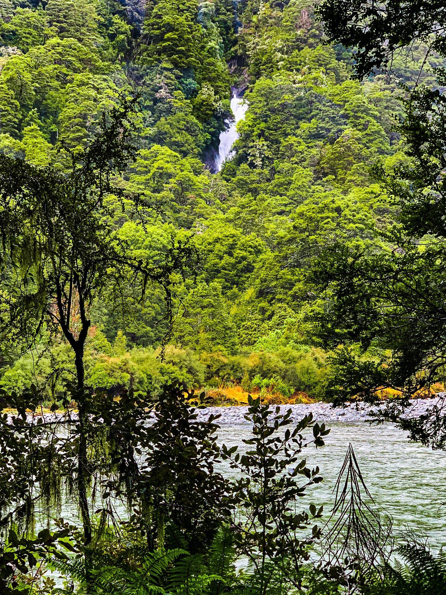
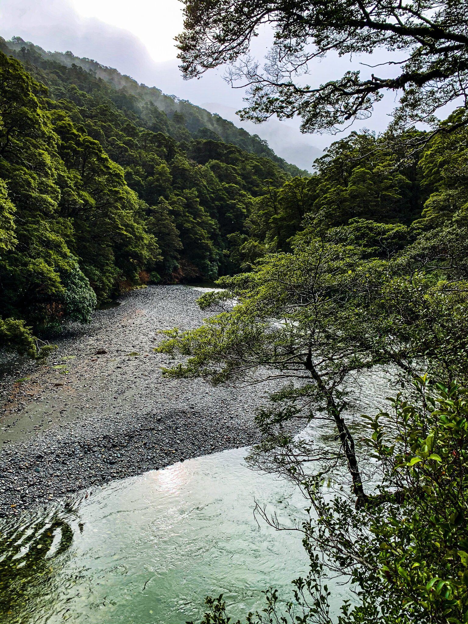
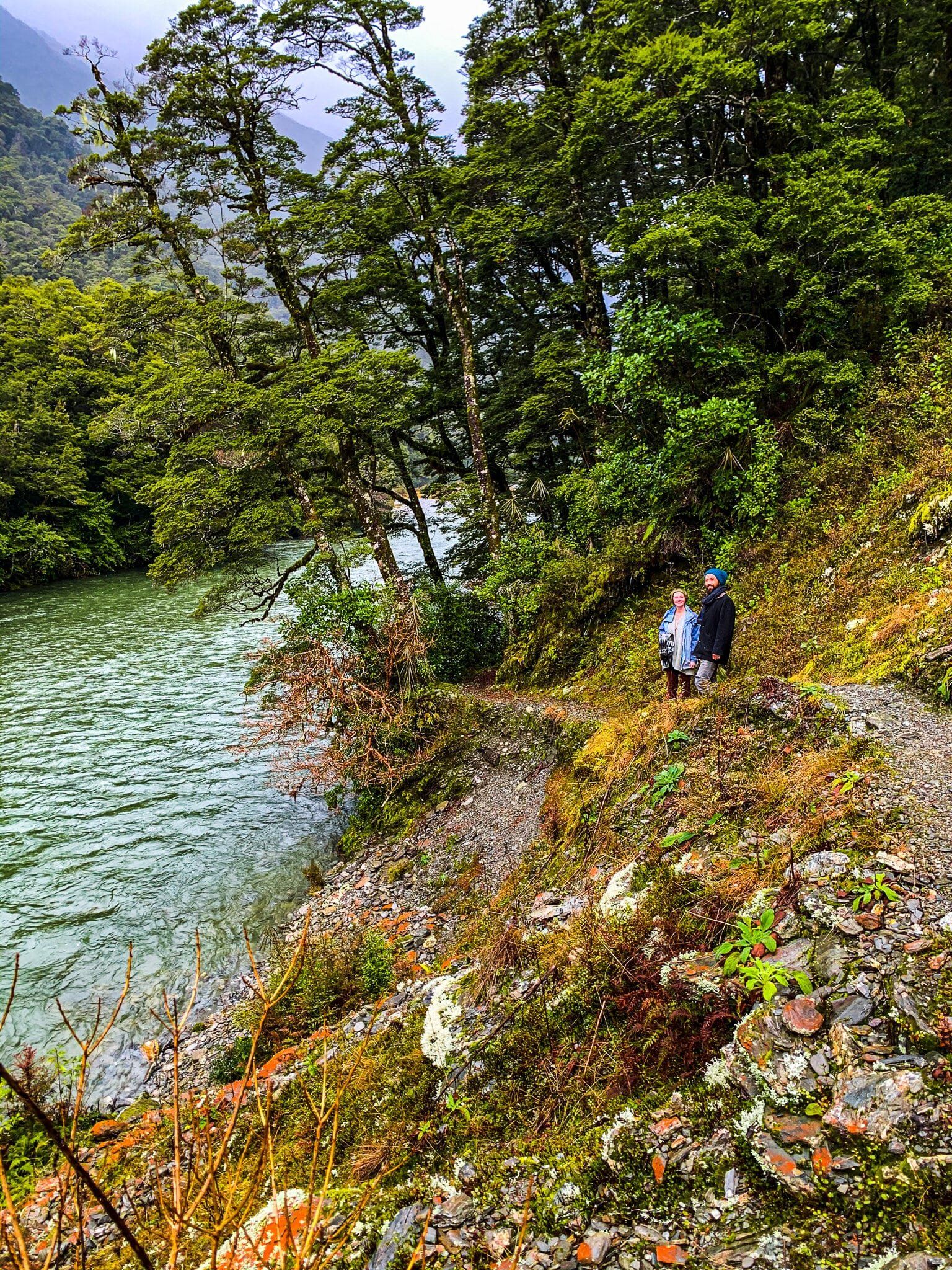
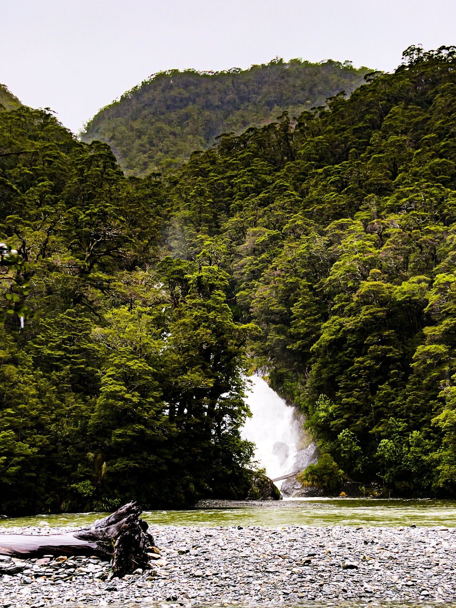
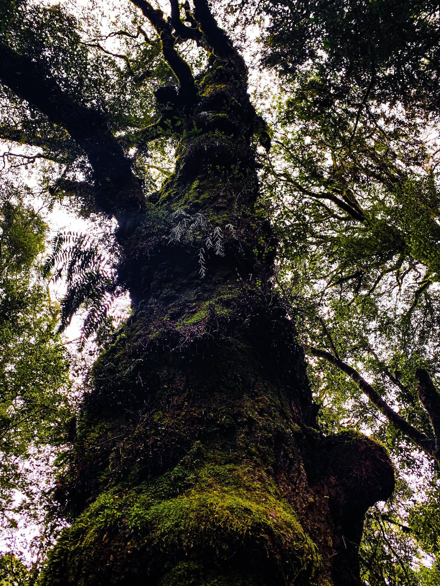
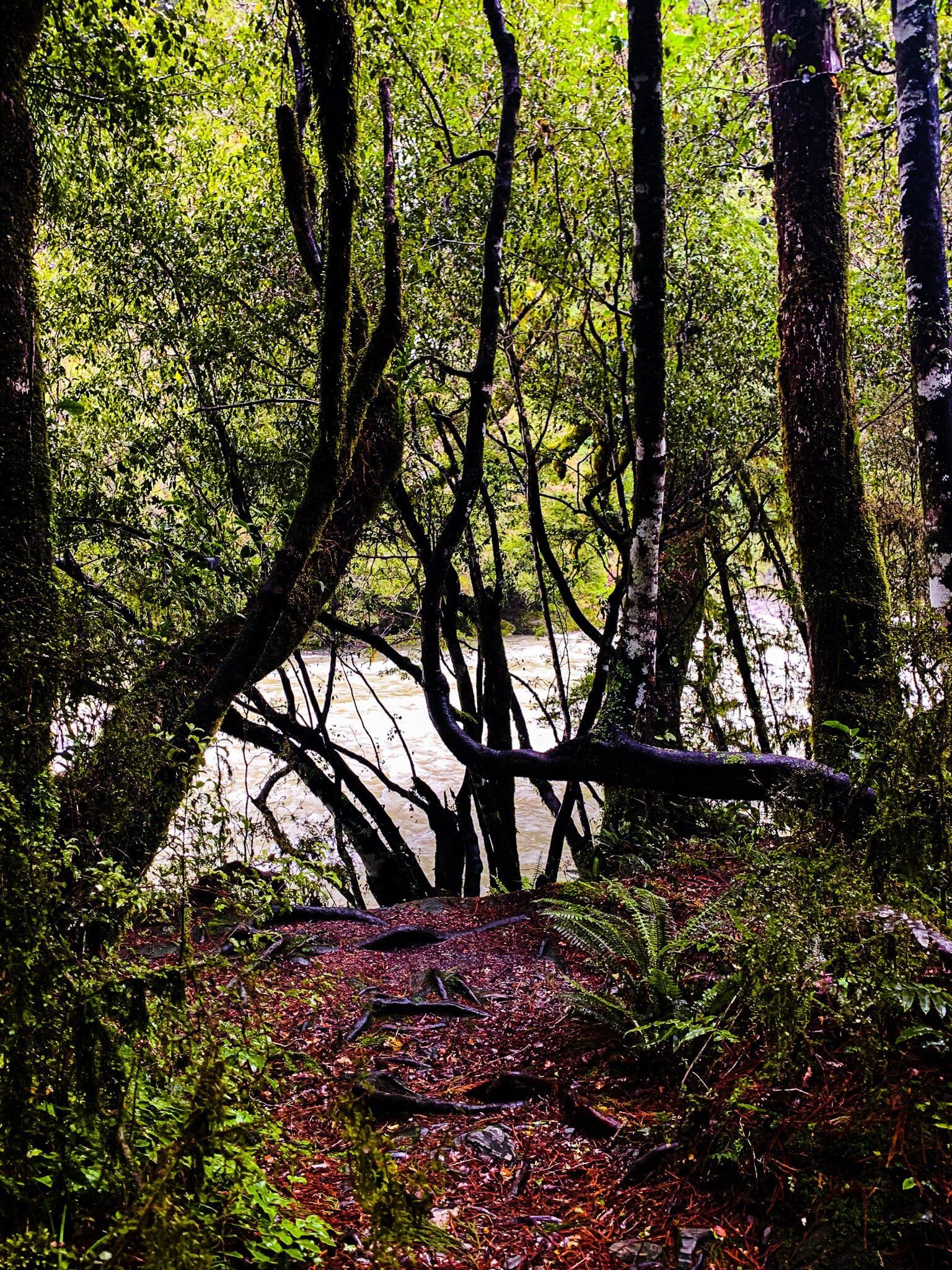
Starting at Davis Flat, the track sidles alongside Makarora River, mostly in native forest including some stunning kōtukutuku – native fuchsia trees – overhanging the river. Look across the river early in the walk and you should be able to get a glimpse of the Stewart Falls, which are actually 90 metres high.
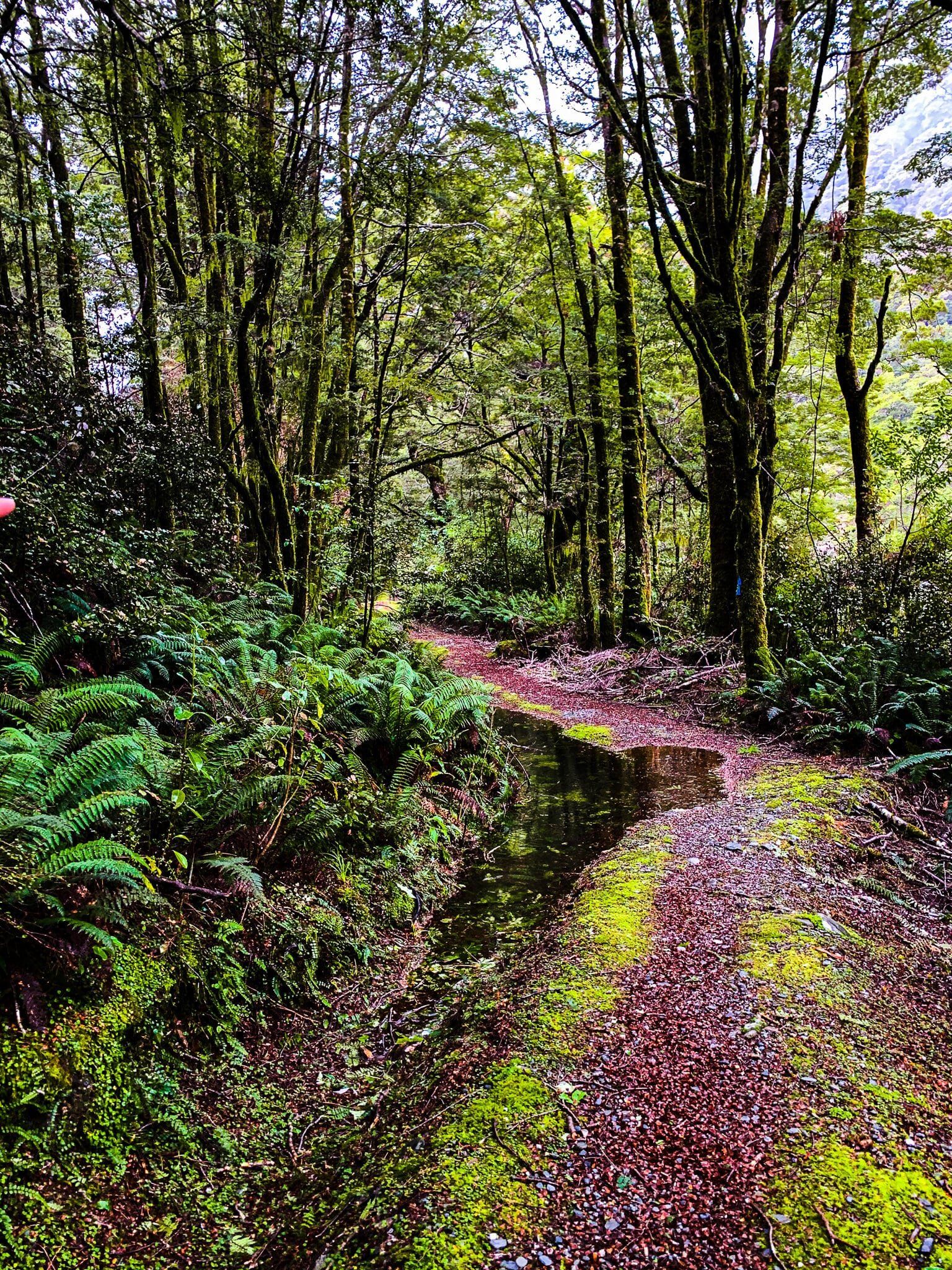
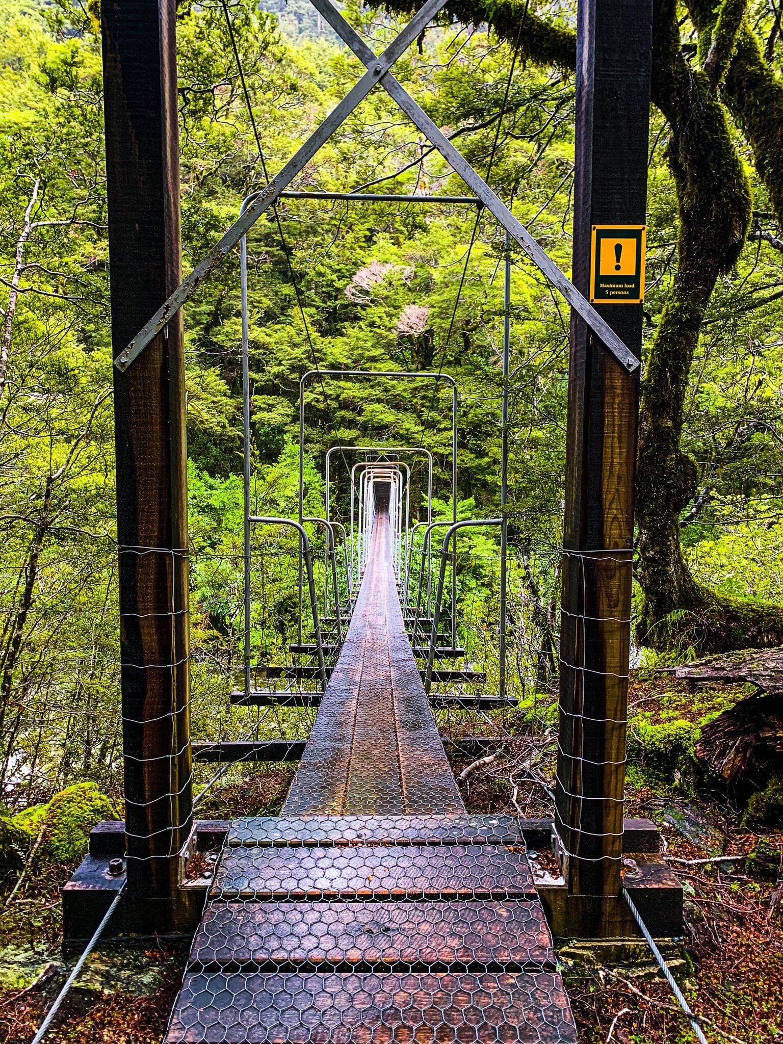
The track is rather worn out and reasonably high above the river in some places, but should be straight forward. About a quarter of the way along, there is a swing bridge. This is just past where the Makarora River turns sharply east into the Makarora Gorge, and the bridge crosses a large feeder stream. Once across you are in an established native beech rainforest with a well maintained track. From there it is a 130 metre climb, mostly gentle, to the road at the top of the pass.
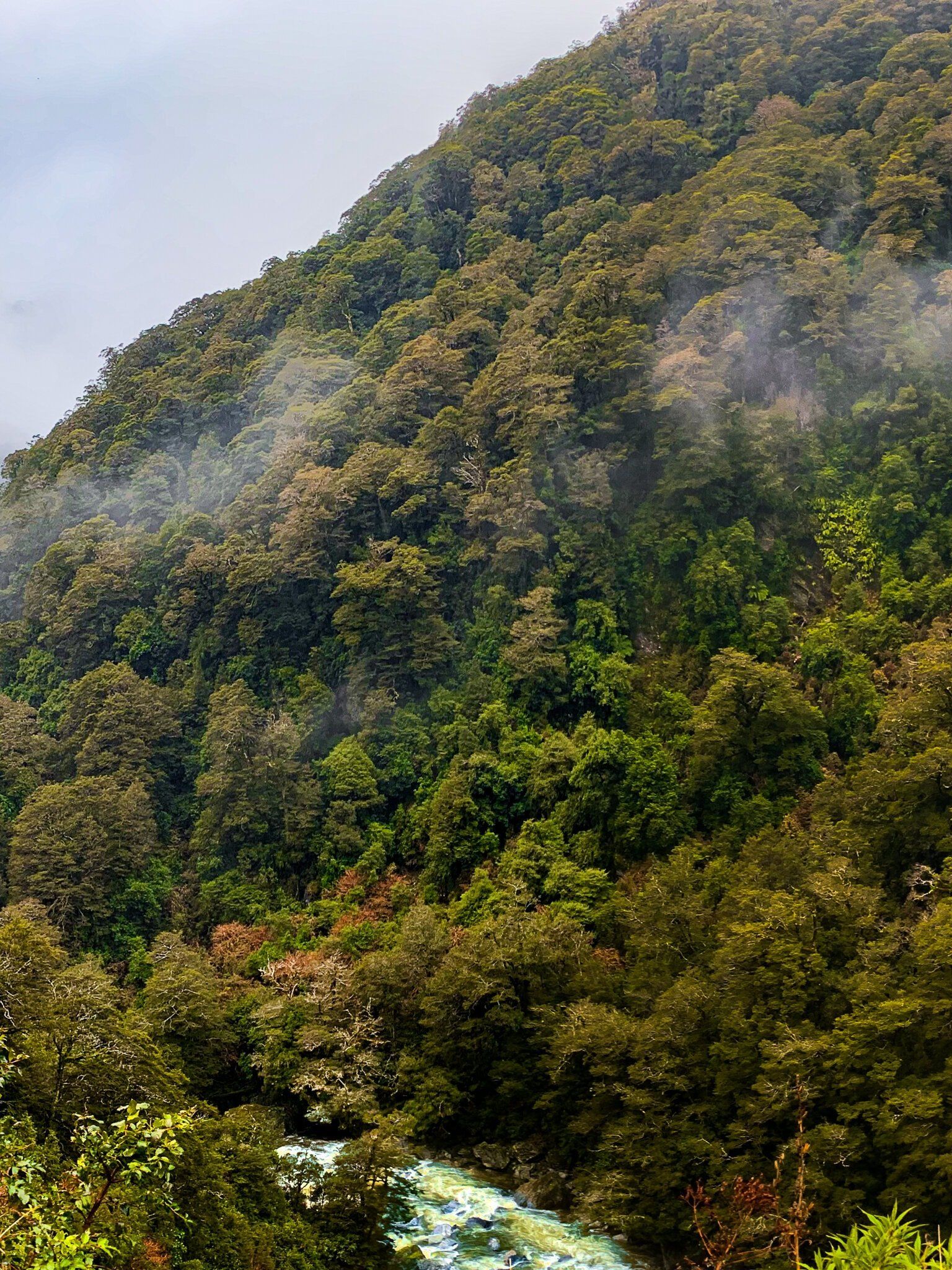
Bridle Track Part 2
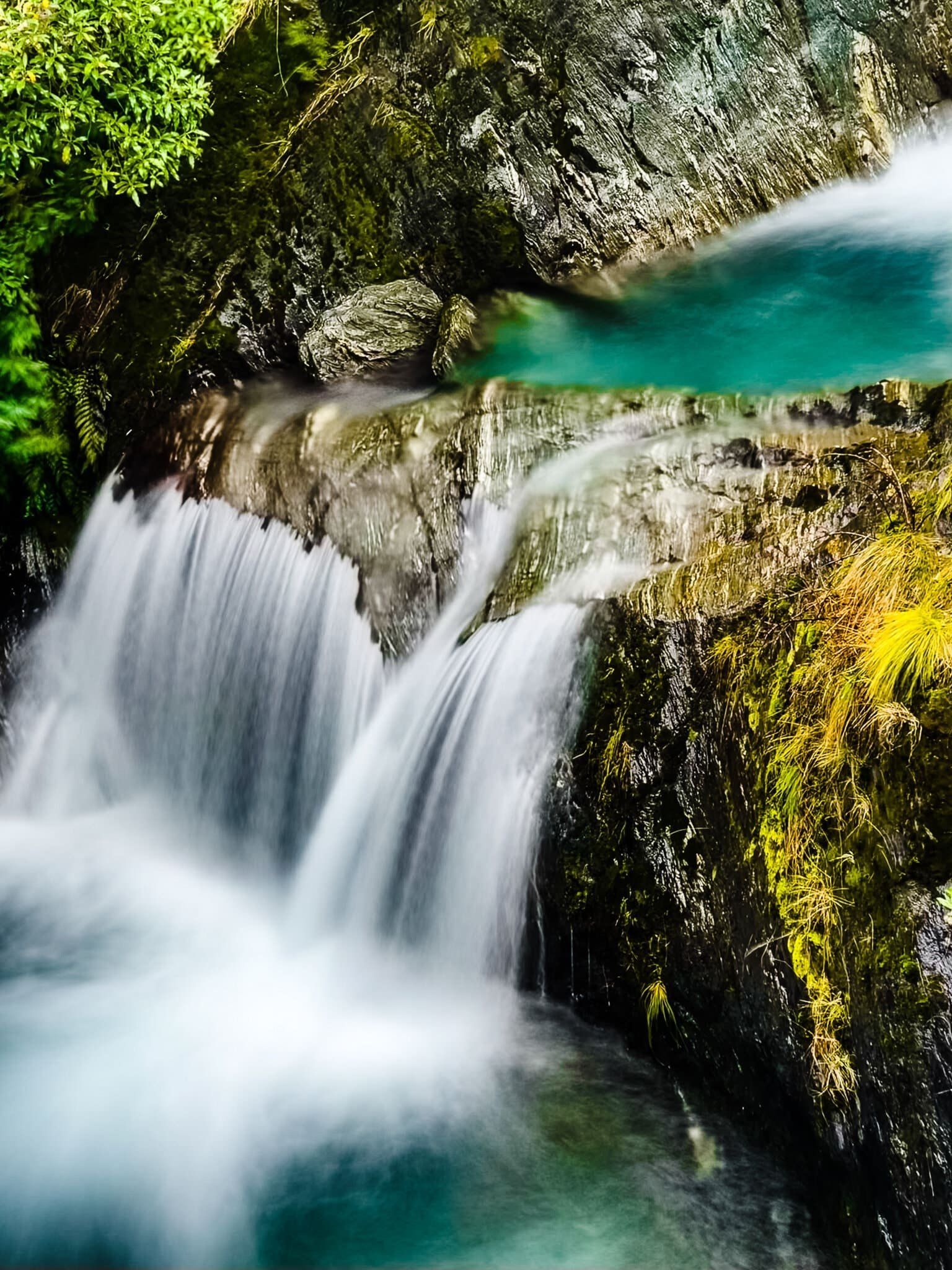
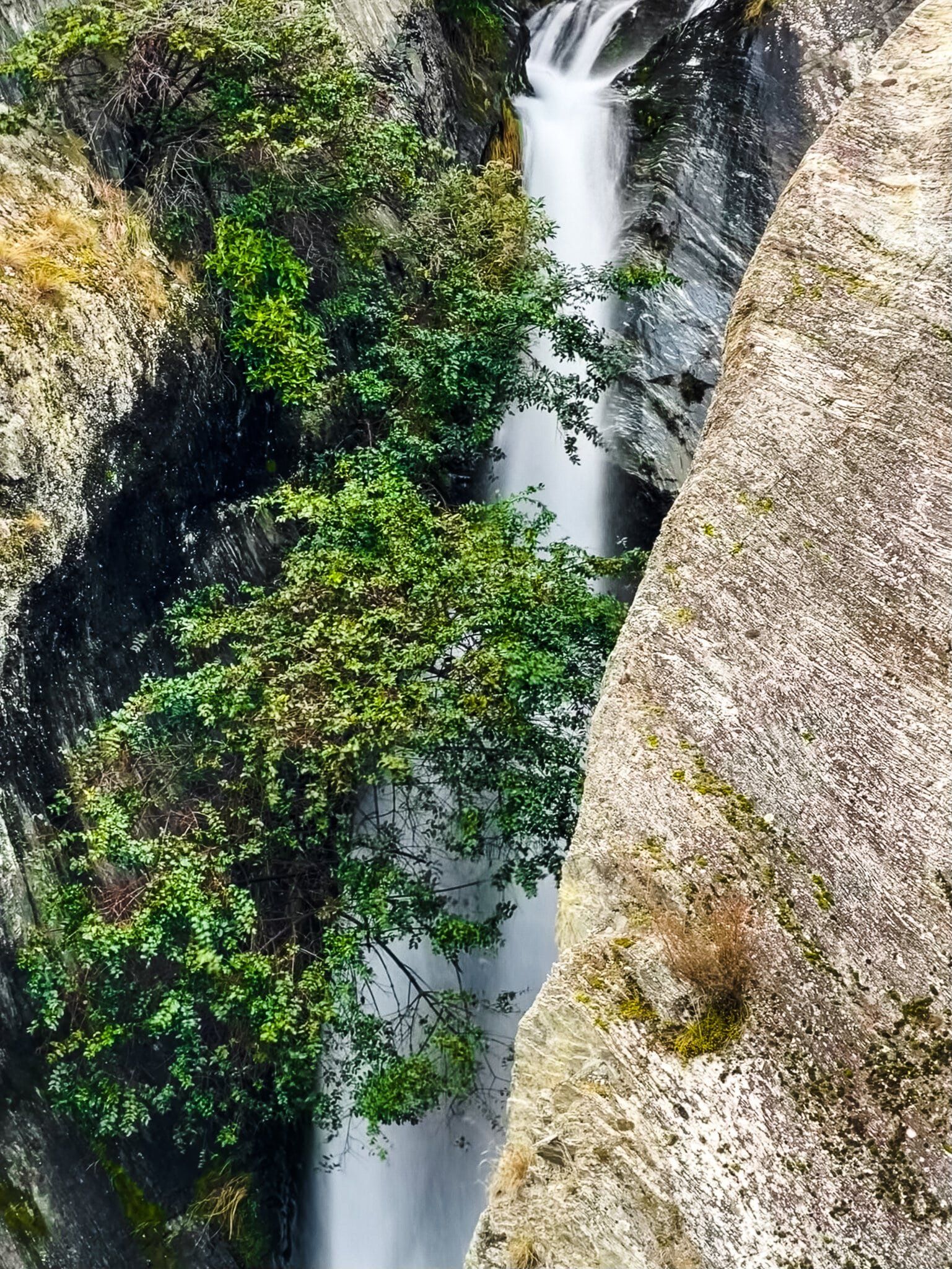
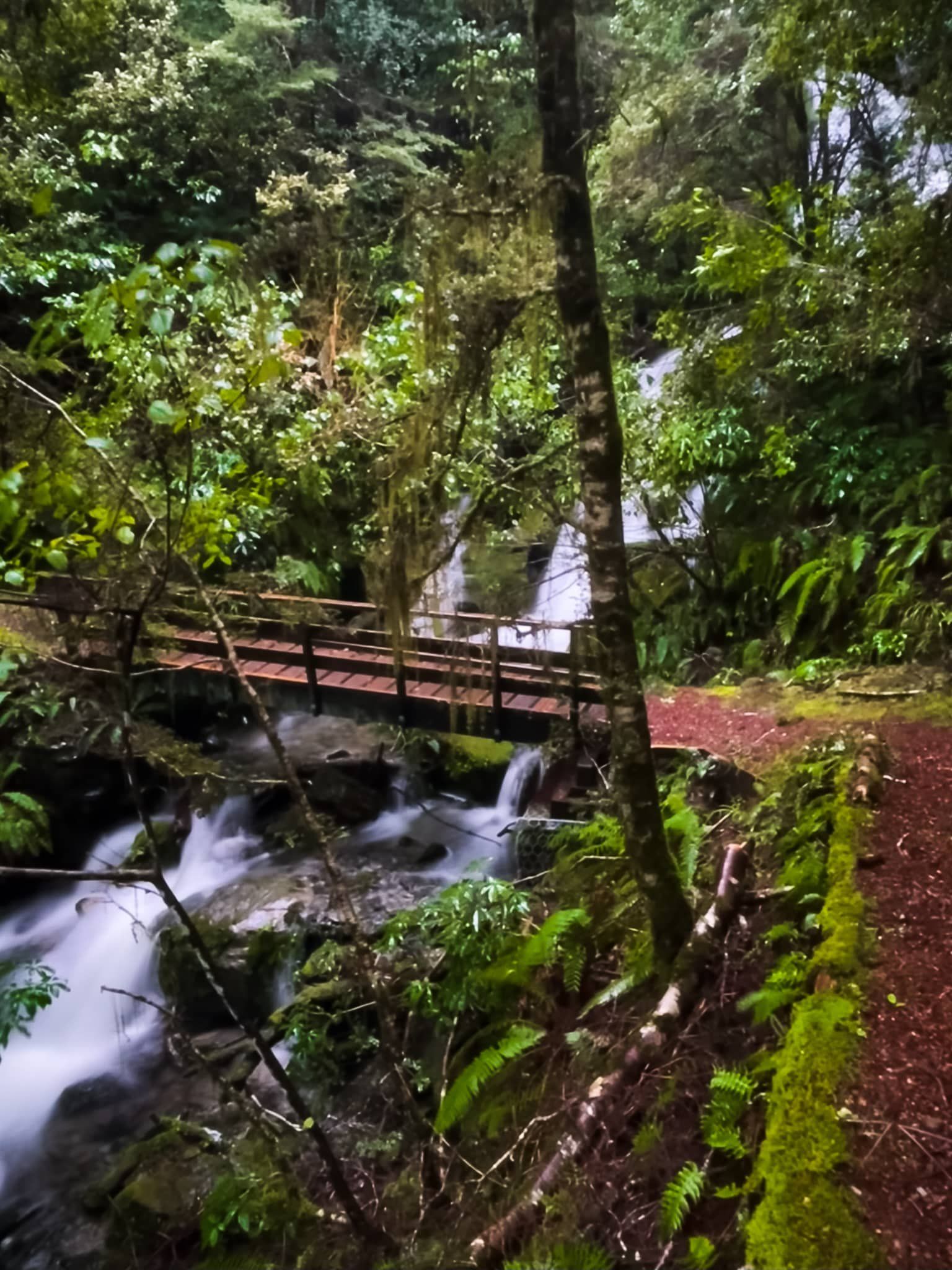
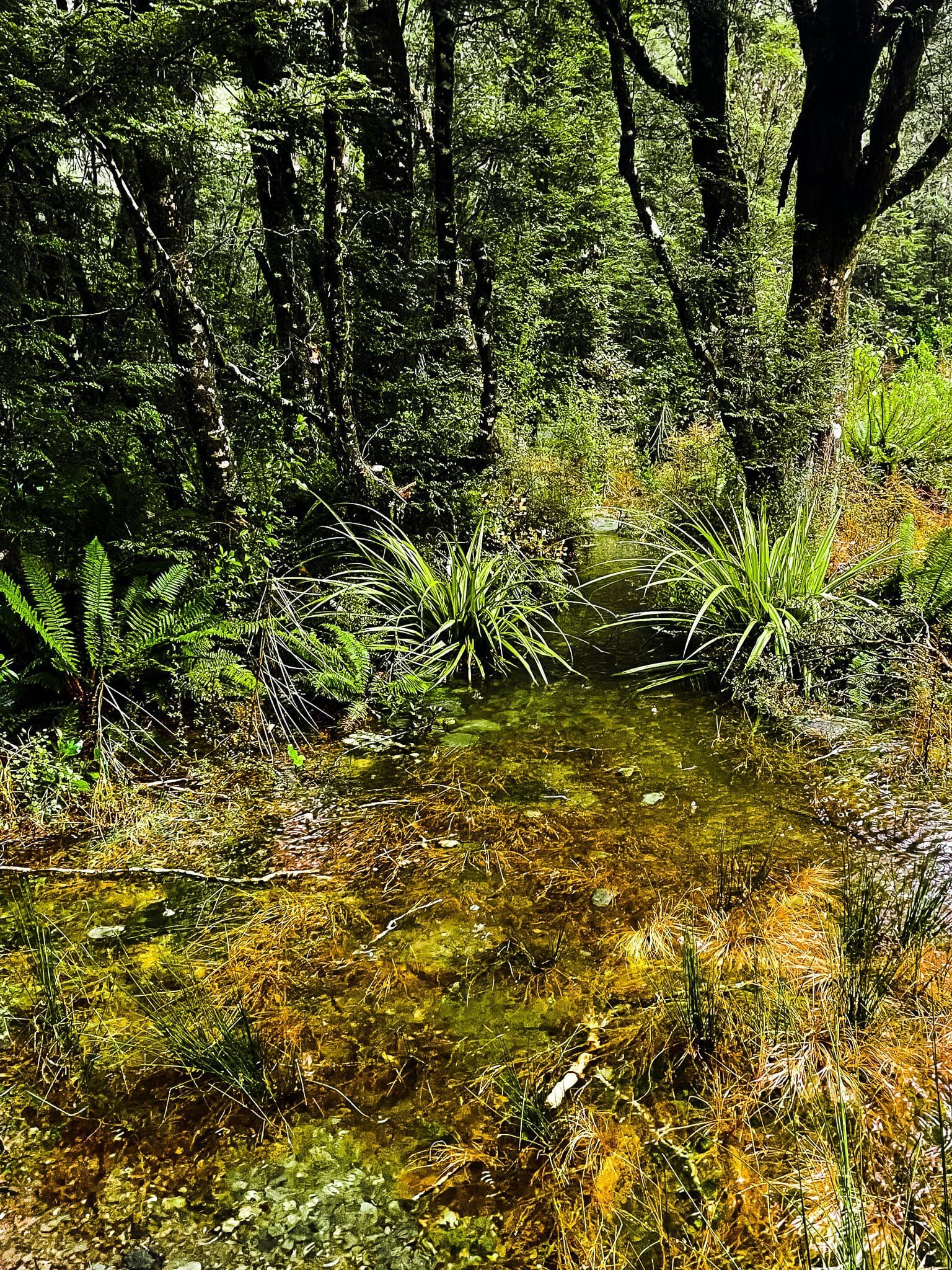
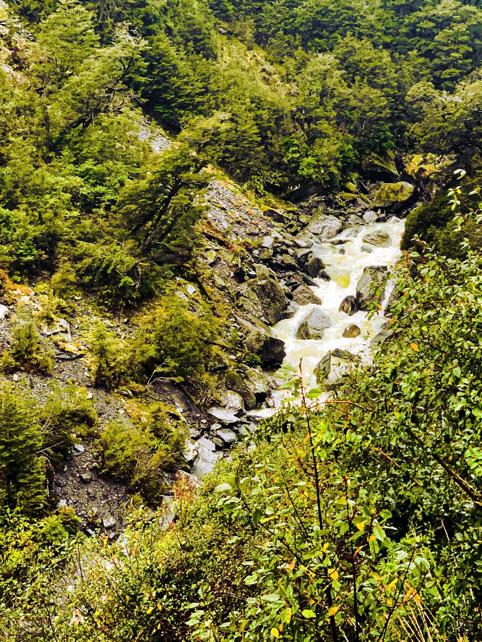
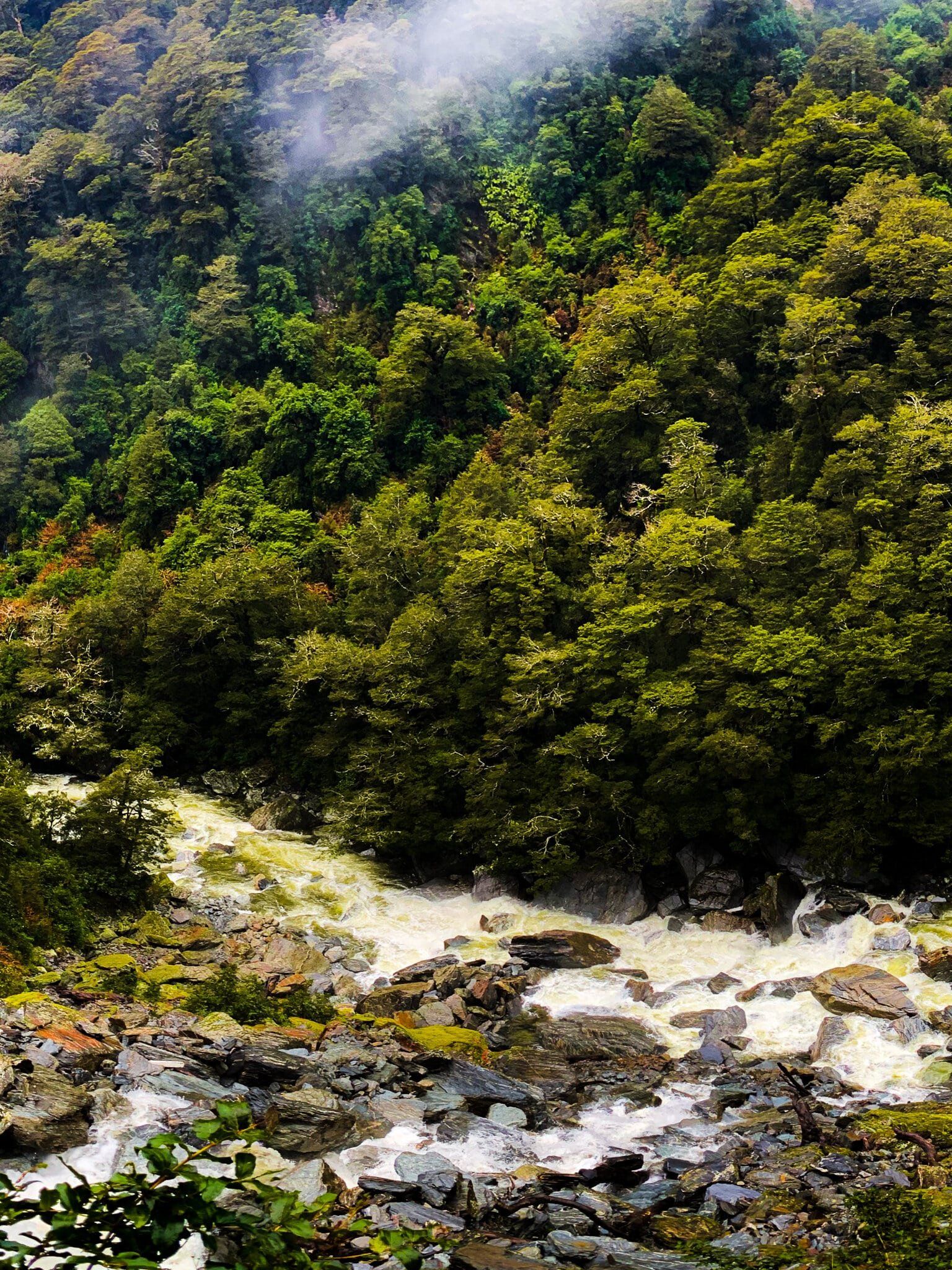
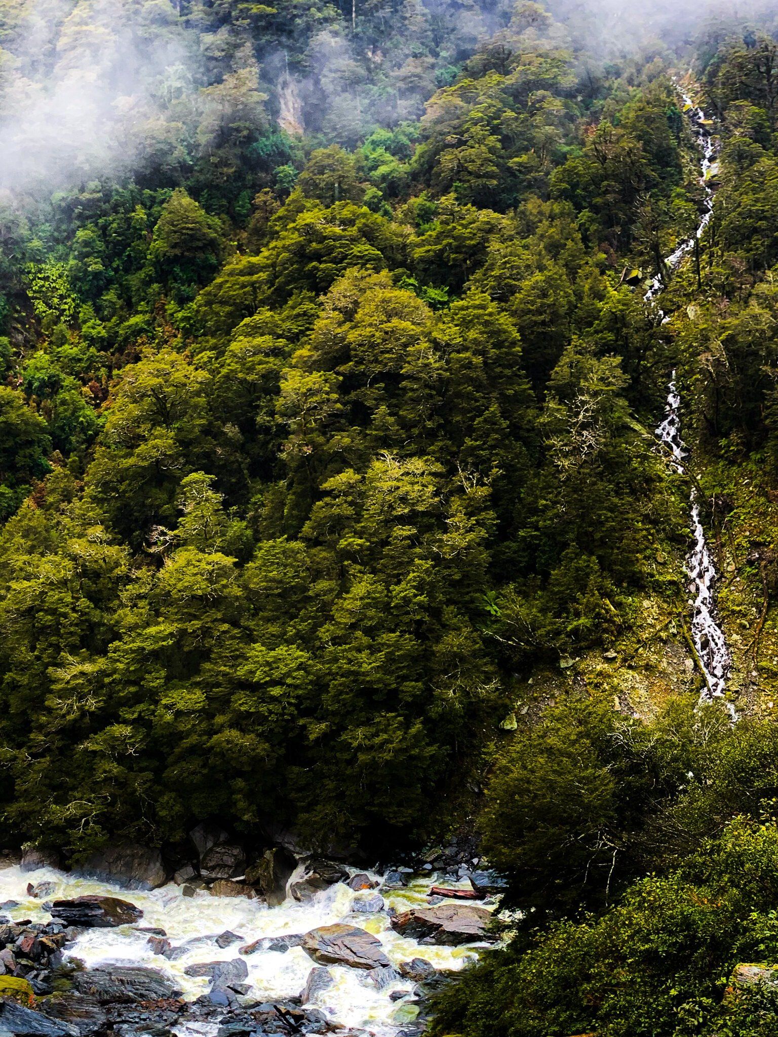
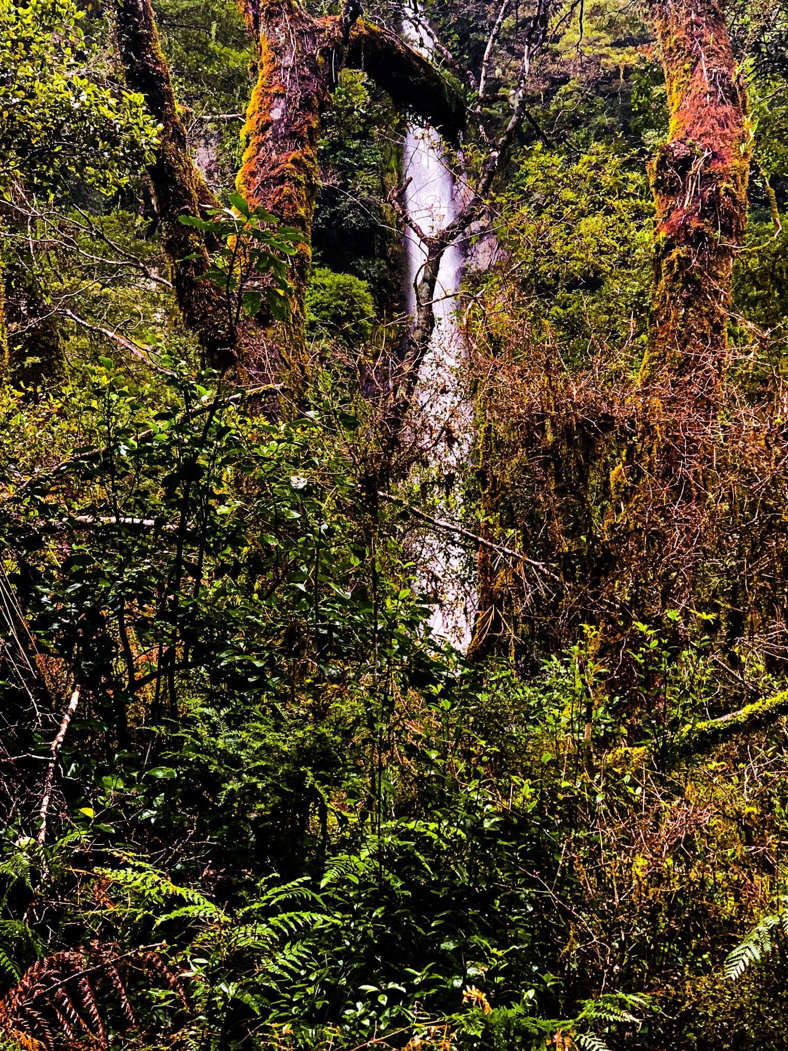
The northern end of the Bridle Track starts at the Haast Pass / Tioripatea high point, with the track entrance opposite a short steep track to a high viewpoint (you won’t see much if it’s raining). The well maintained track goes downhill on a gentle incline through native beech rain forest with a series of short bridges, including two significant stream crossings.
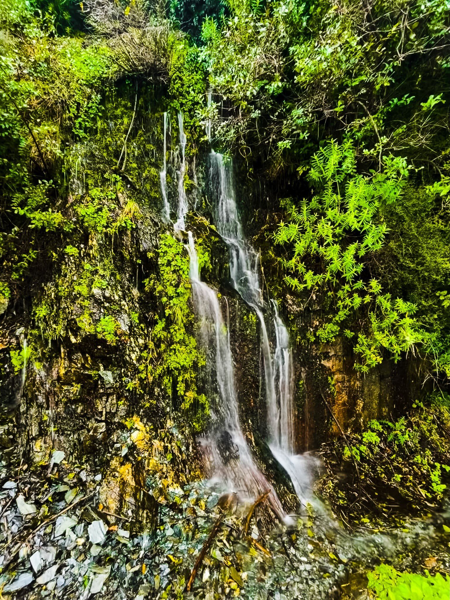
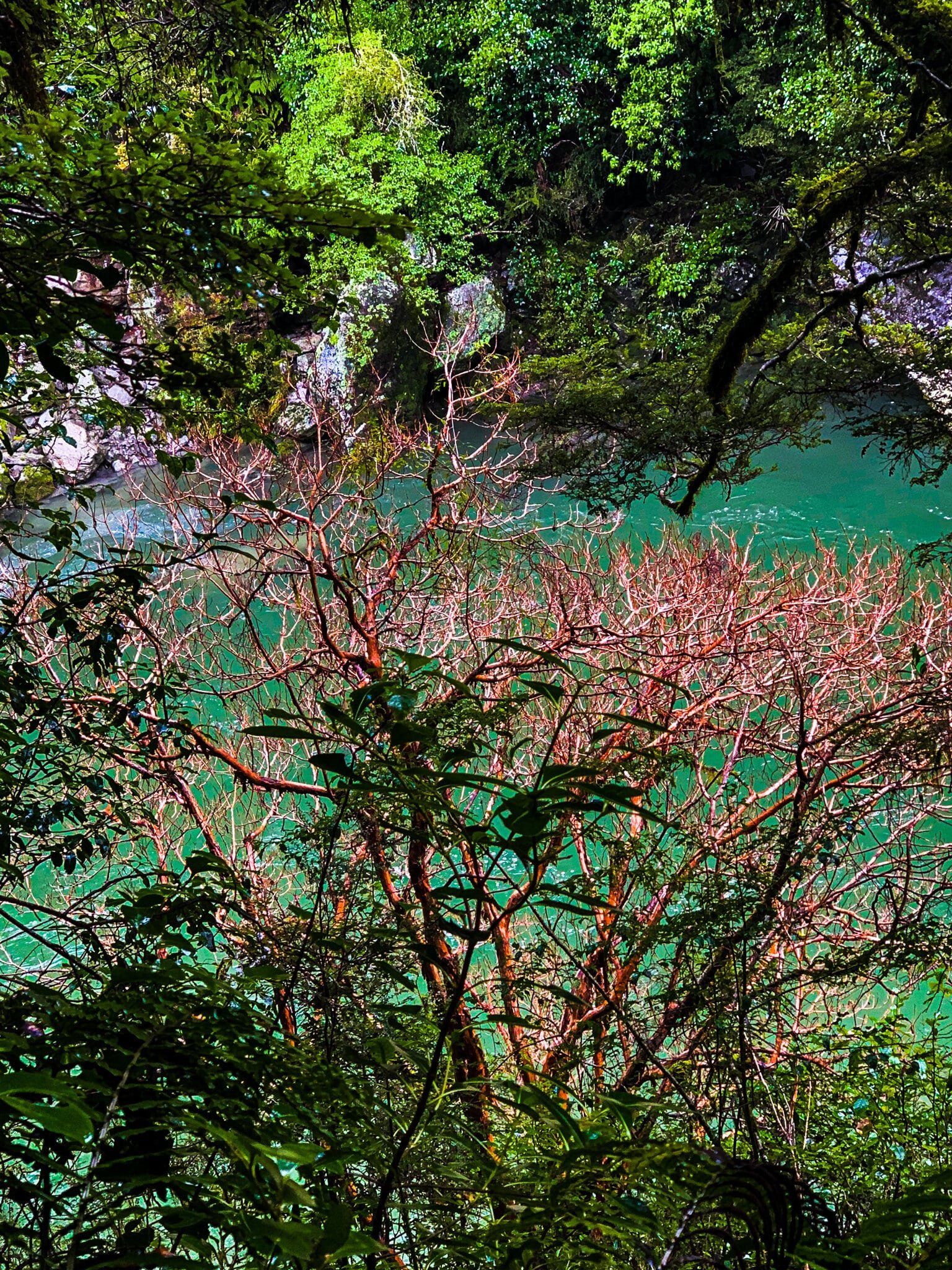
These streams become quite dramatic in the wet, both with a series of tumbling falls. As you approach the second stream, you will be quite high above the first, with some nice views down through the forest. There is a better viewpoint if you continue on after the second significant stream crossing.
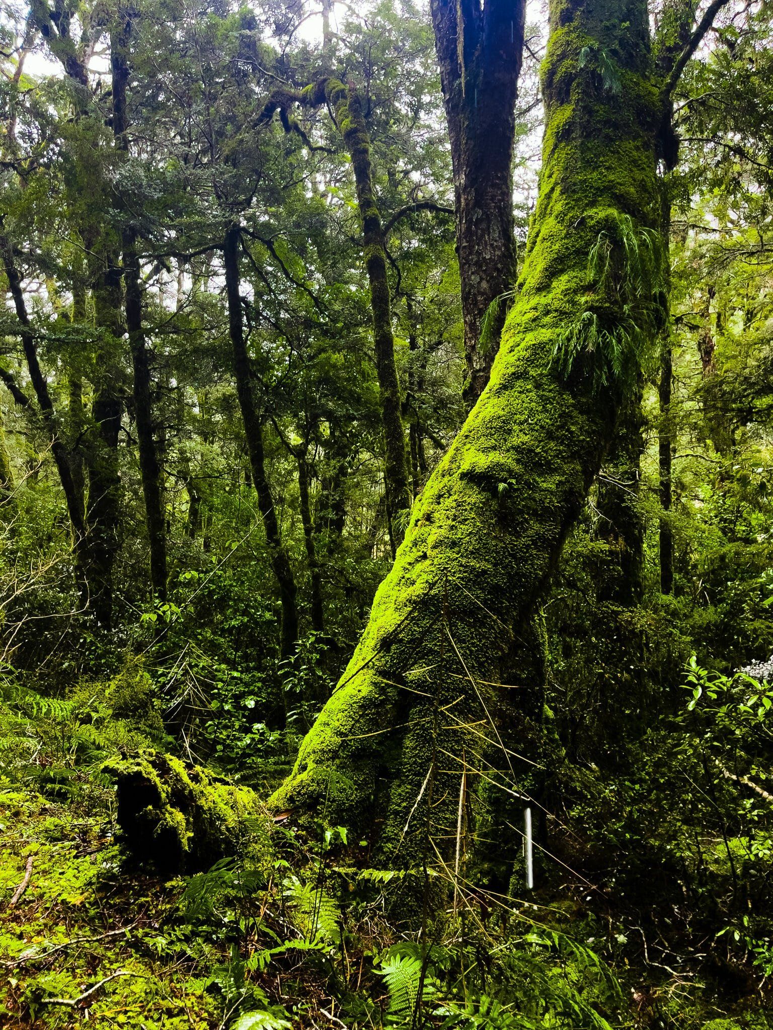
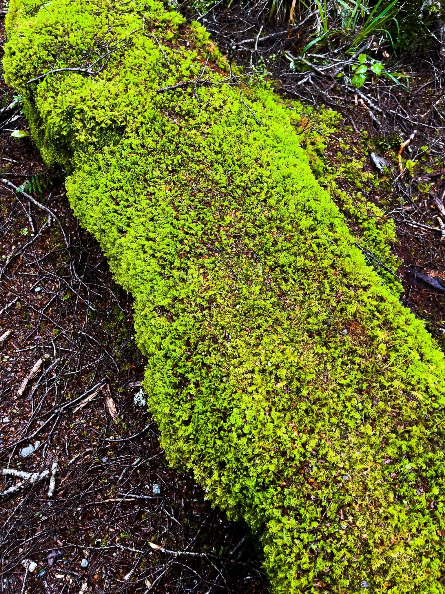
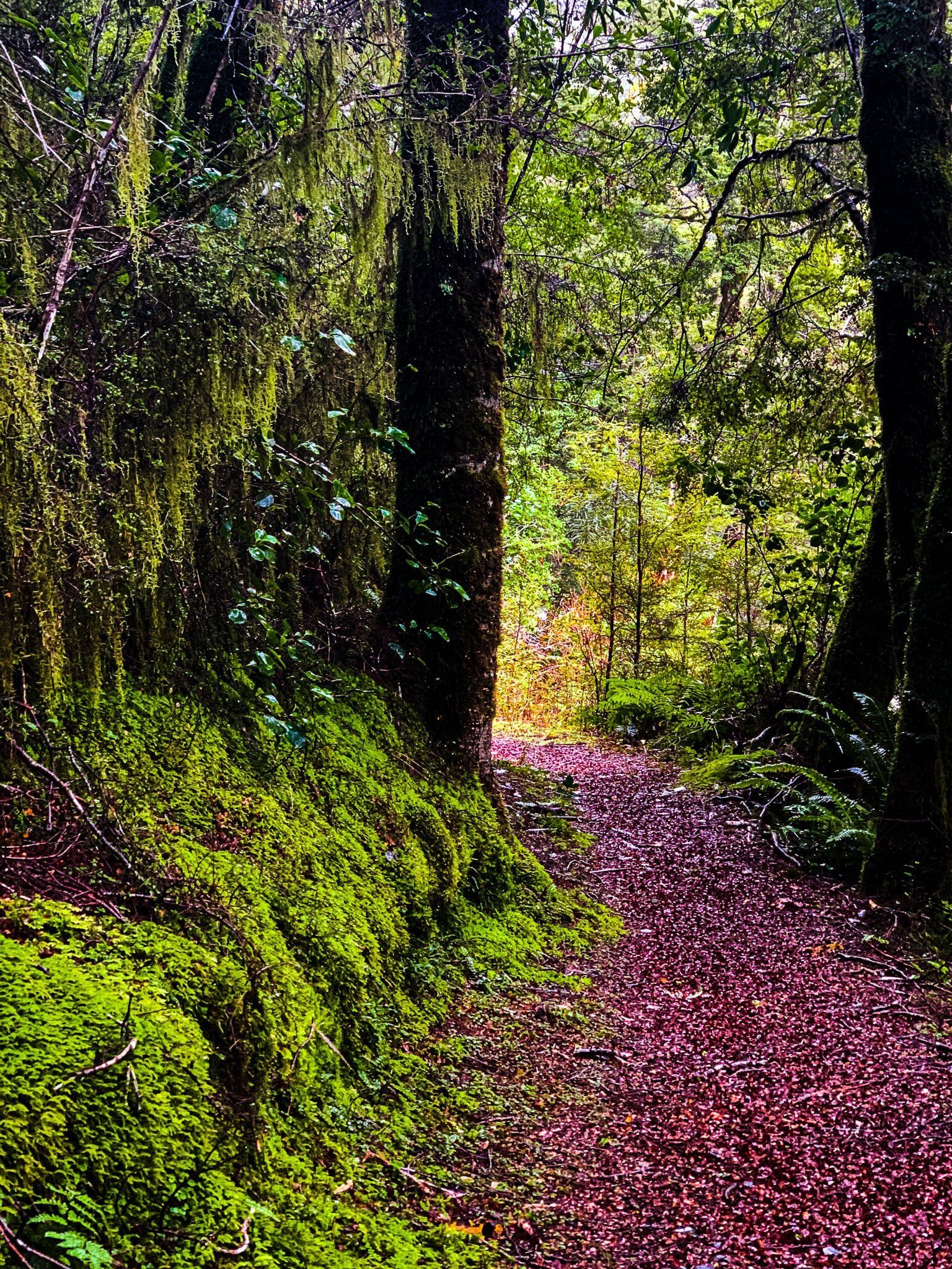
In the wet, this section of the walk takes on a stunning emerald green lustre due to the moss and lichen on the trees and around the path.
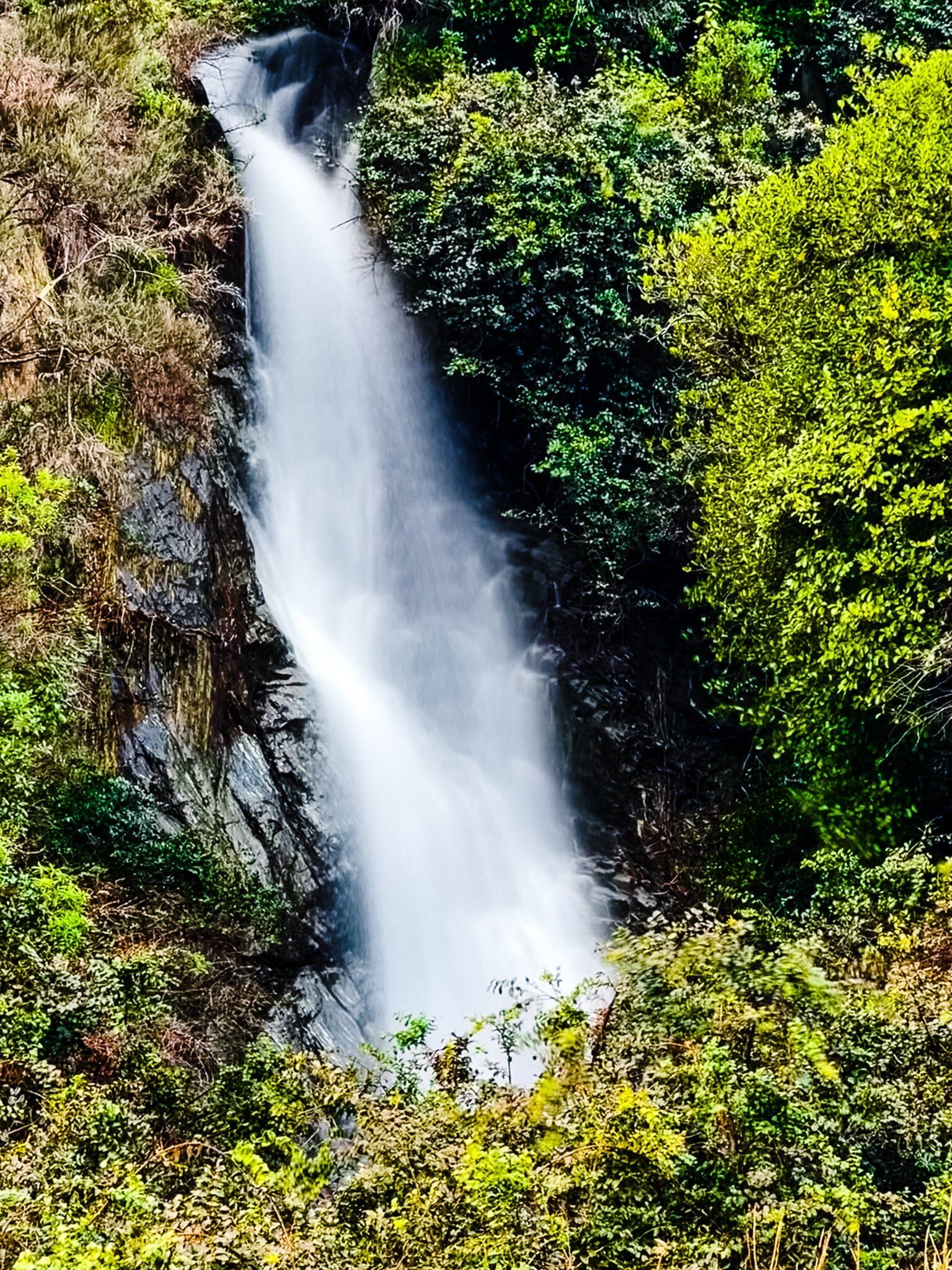
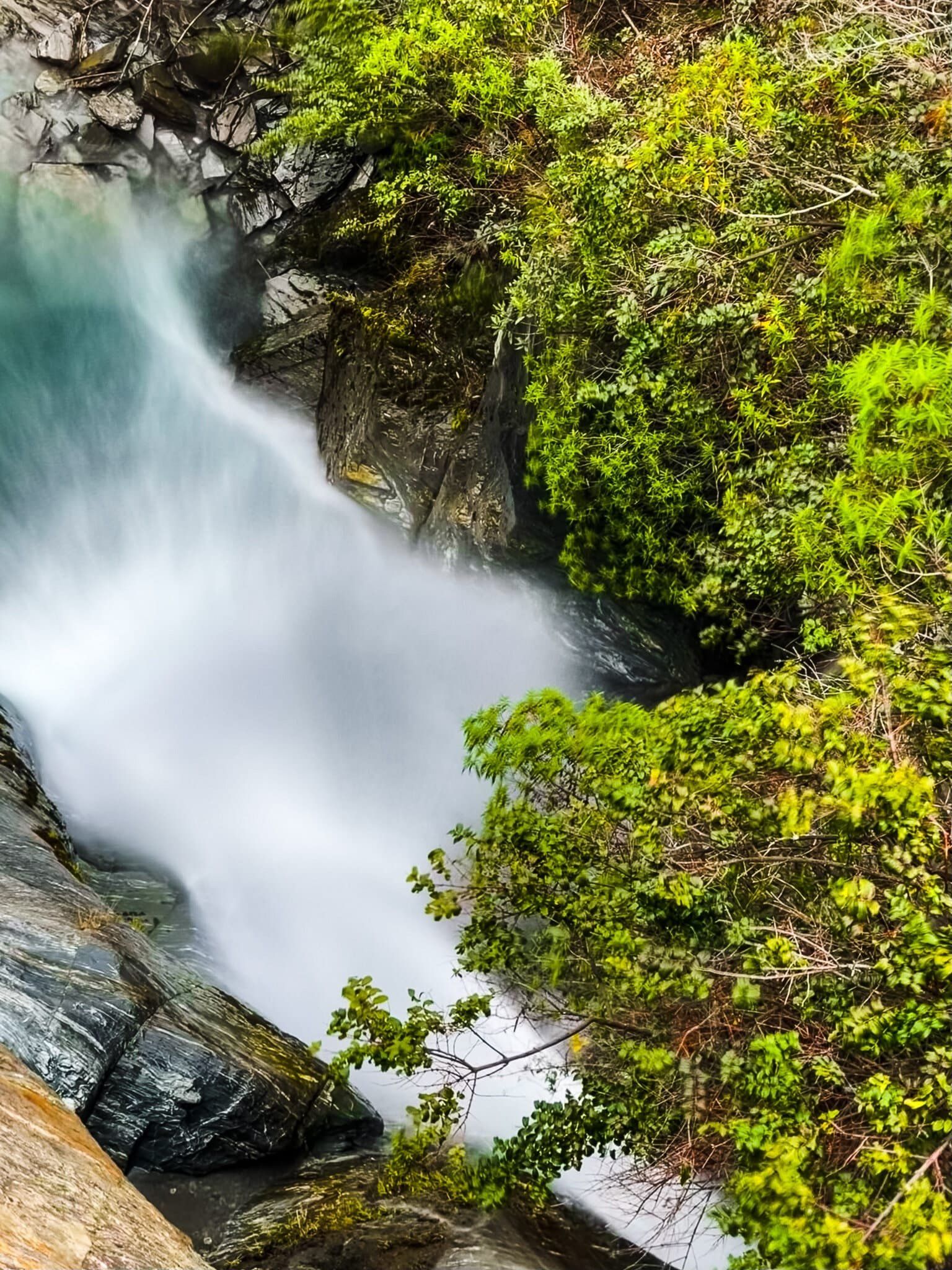
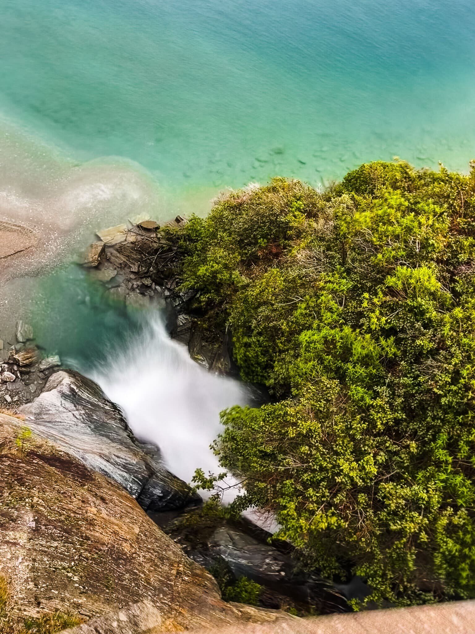
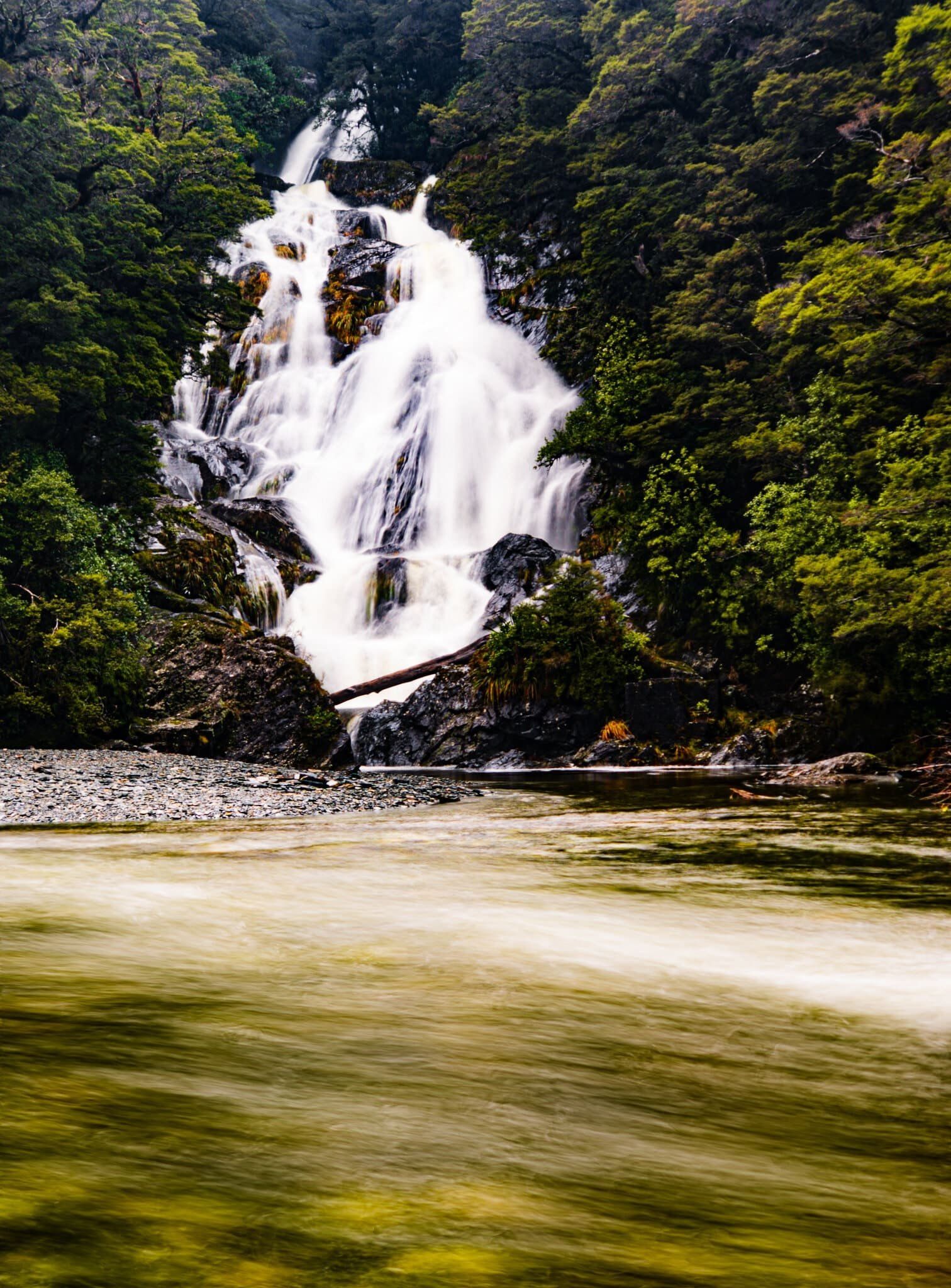
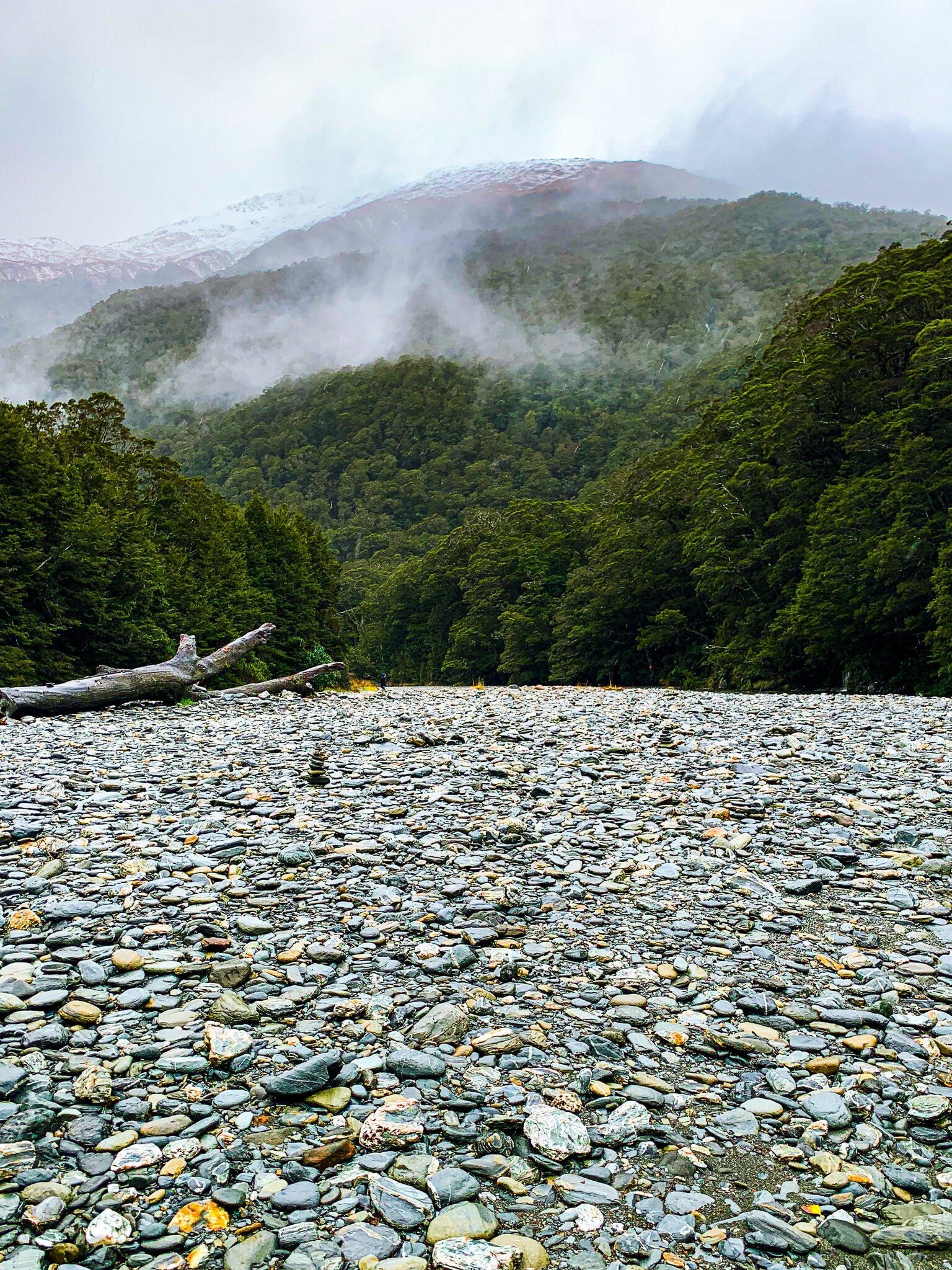
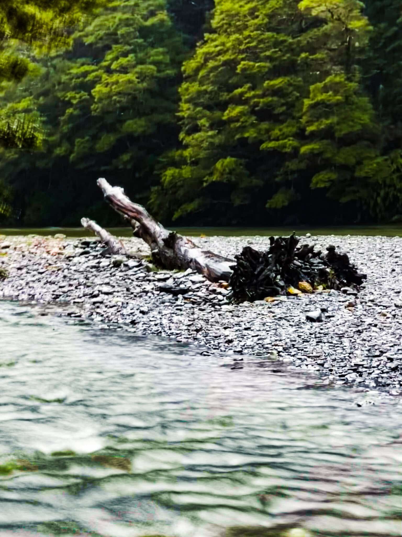
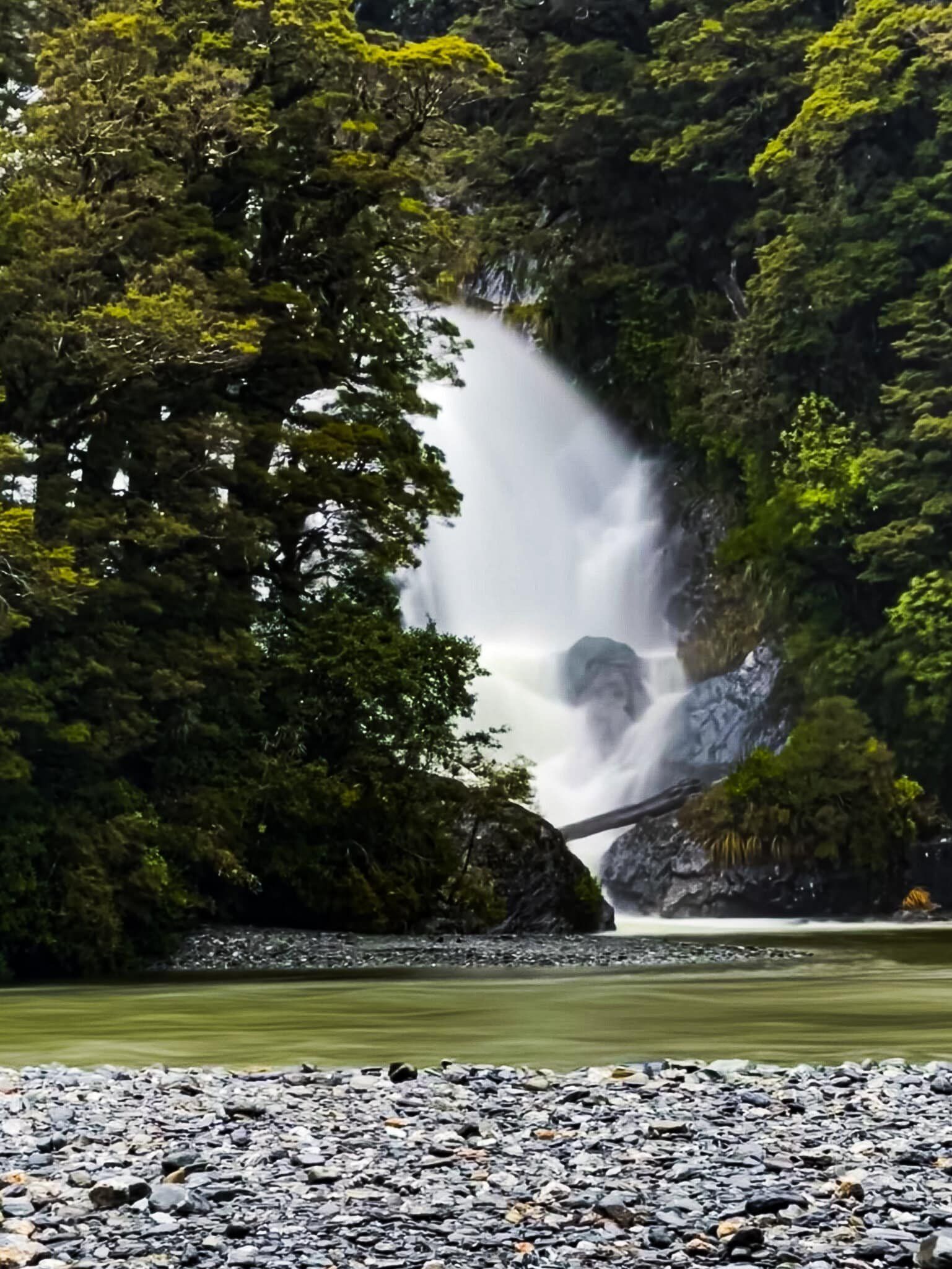
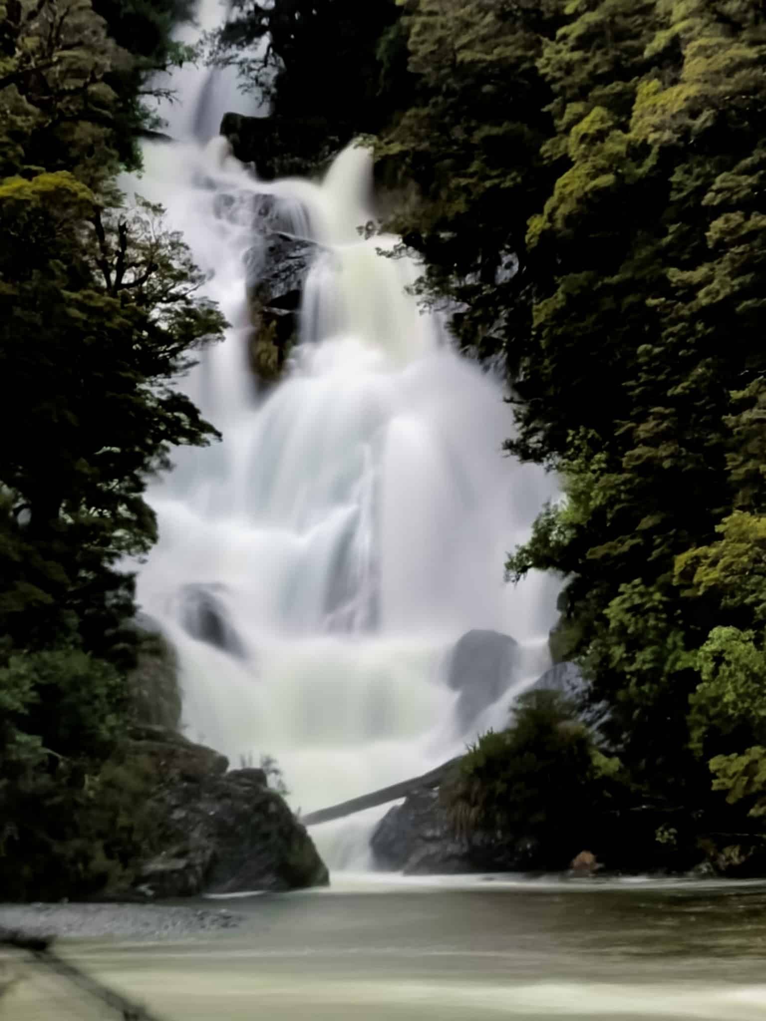
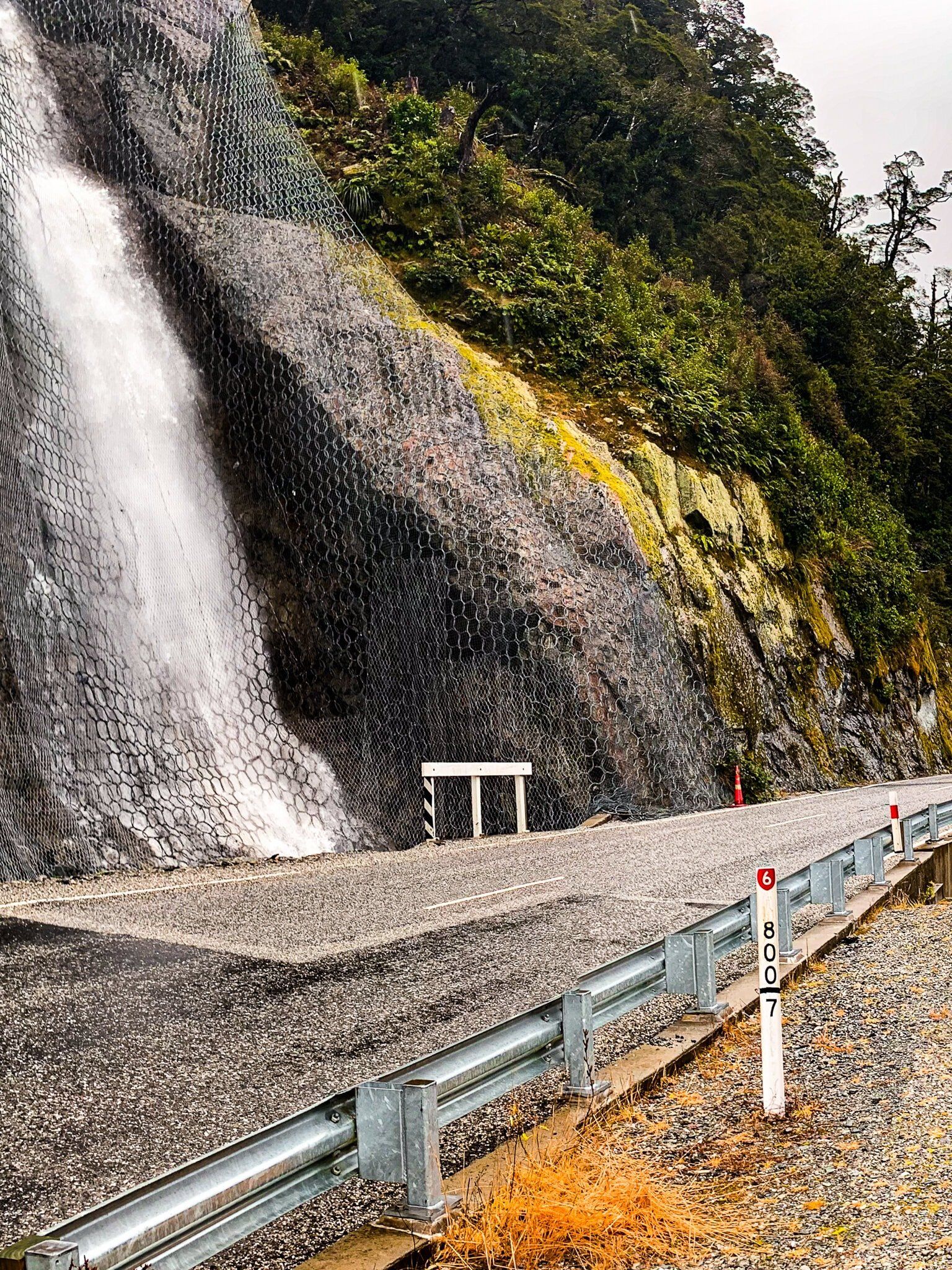
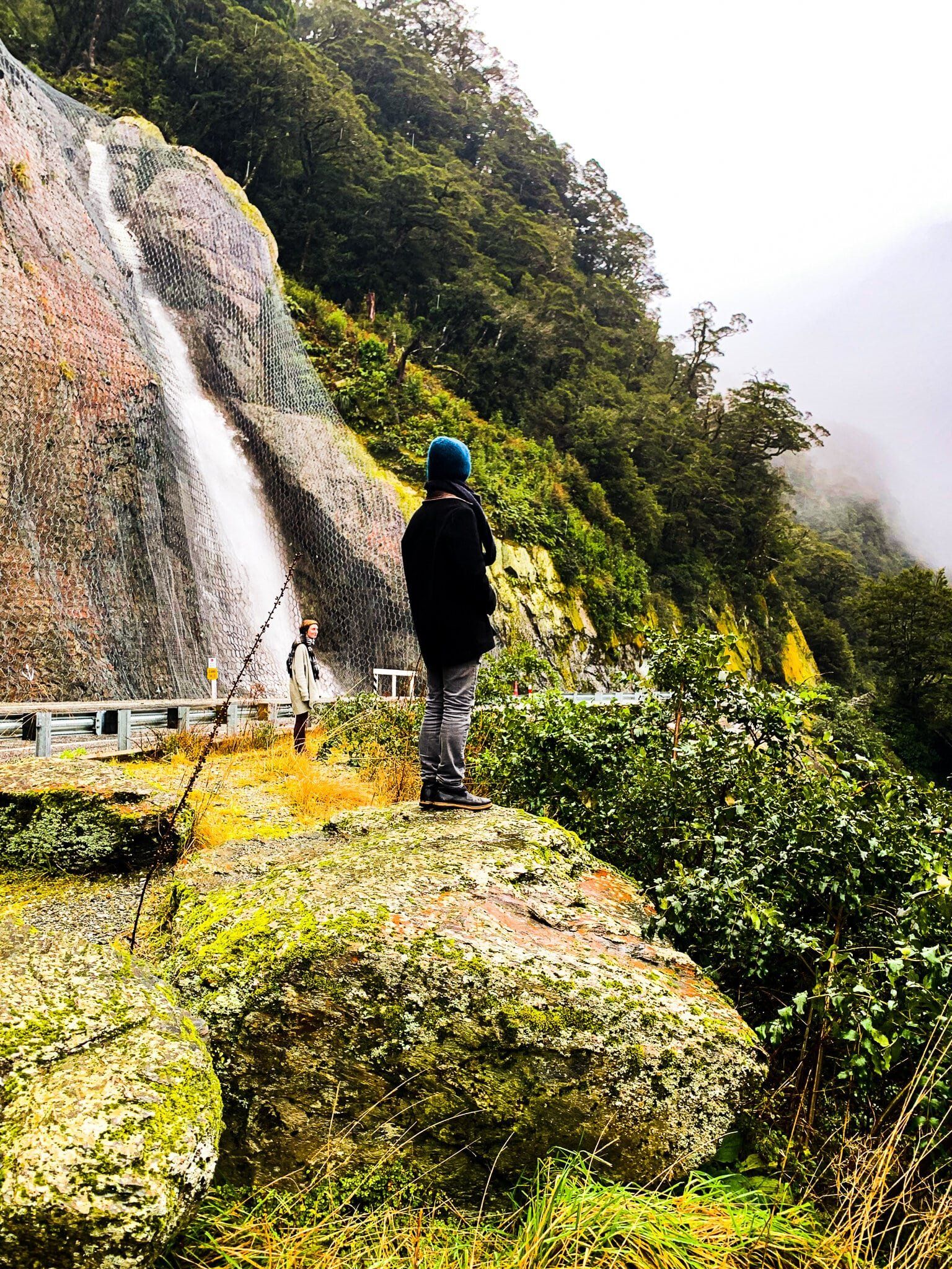
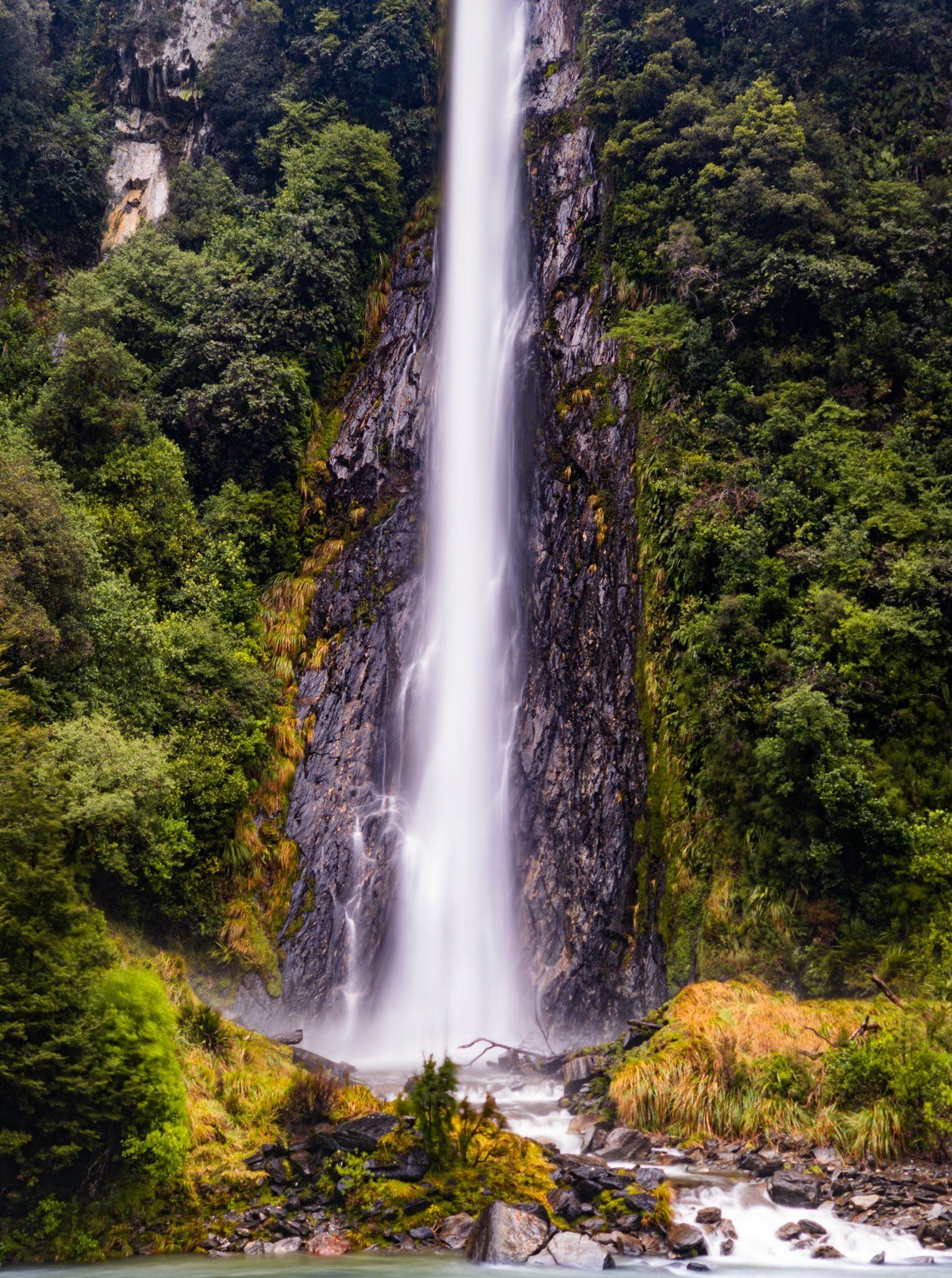
Fantail Falls
Fantail Falls is on the northern side of the Haast Pass / Tioripatea high point and has long been a very popular stop on SH6. It is well signposted with a large car park just off the side of the road. Then it is just a 2 minute walk to the edge of the gravel beds of the Haast River, directly opposite the falls. When it rains heavily, getting over to the falls is definitely a wet exercise, but you can walk most of the way across staying dry once the river drops.
In these pics, it is hard to see the fantail, because of the torrent of water, but it is much more obvious on a nice summer day.
The Brewster Track also starts from the car park. Note that this is a reasonably tough 2 to 3 hour (1 way) 1,000 metre climb to 1400 metres on a mostly rough forest tramping track up the side of Mt Armstrong to the Brewster Hut. You start with feet wet as well as the entrance is on the other side of the river. It is worth it if you want more of an adventure and have plenty of time. From the hut, you can also get access to the Brewster Glacier to the northeast.
Diana Falls
Diana Falls is a reasonably sized waterfall in the rain, right on the side of SH6. There is enough room to stop next to the bridge which passes over where the falls tumble down into the Haast Gorge. There used to be a larger car park, but this fell into the gorge in 2012 due to a rock slide.
From the bridge, you also have an excellent view of the gorge below.
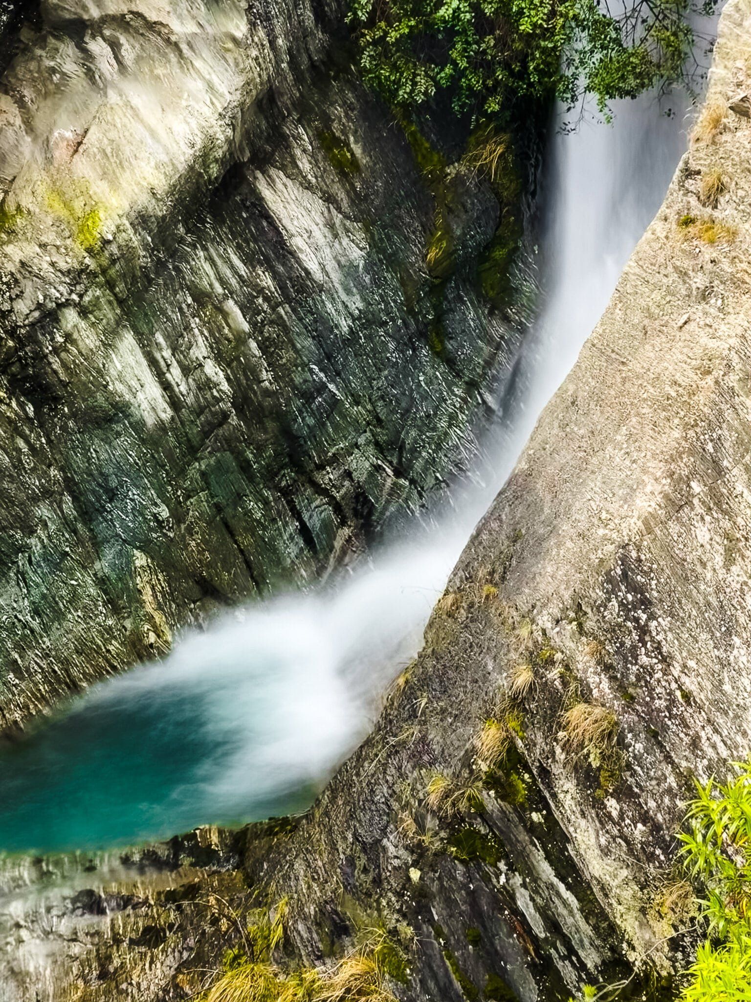
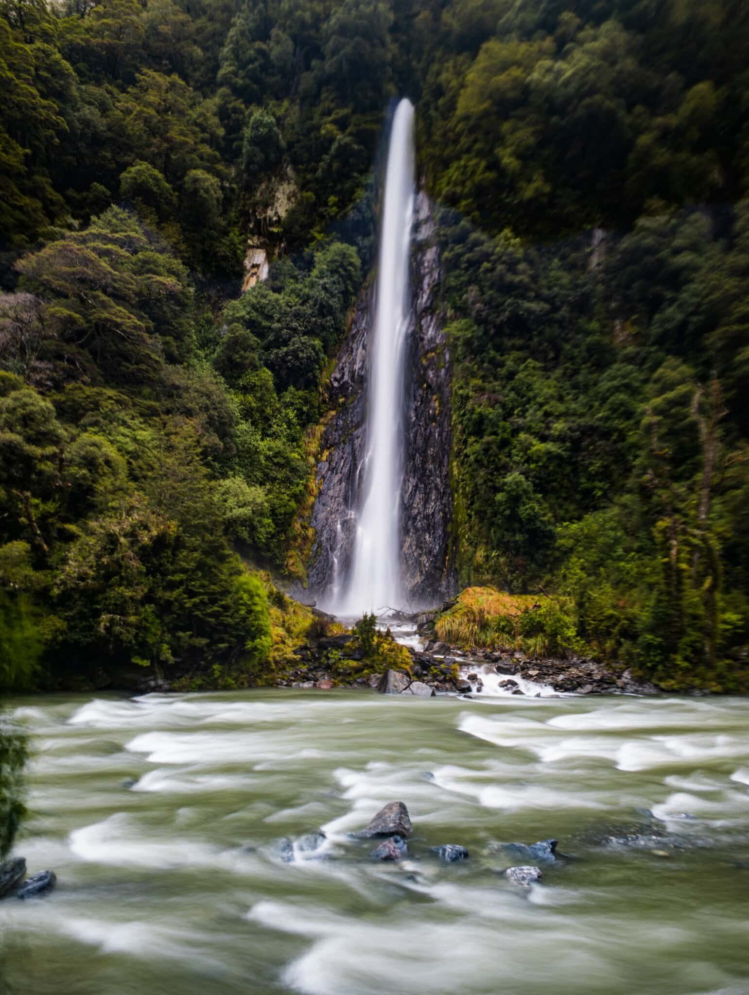
Thunder Falls
Thunder Falls is one of the highest, most easily accessible waterfalls in NZ at 98 metres. The car park is on the side of SH6, about a km or so after you pass over the Gates of Haast bridge heading west. It is only a few minutes walk to the Haast River and viewing platform, with the Falls directly opposite. Though they are best seen in the wet when the water flow is at its maximum, it would be easier to get to the base on the other side of the river with a lower water flow if that is your goal.
Want more South Island Trip Ideas?
Check out our blogs on Haast Highway – Makarora To Haast, Hikes of Wanaka and Winter Road Trip through Central Otago.