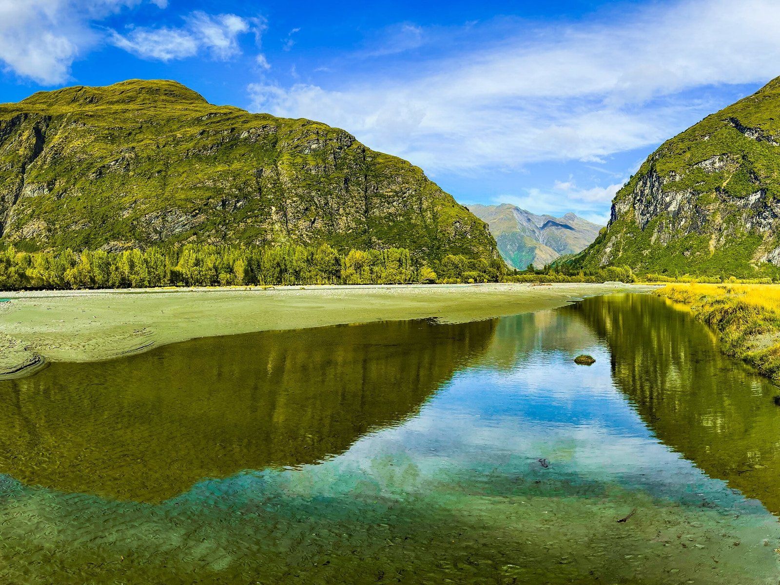
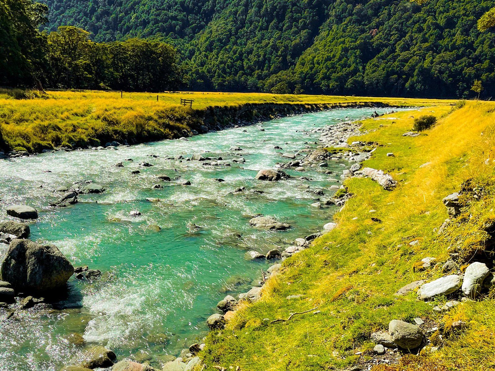
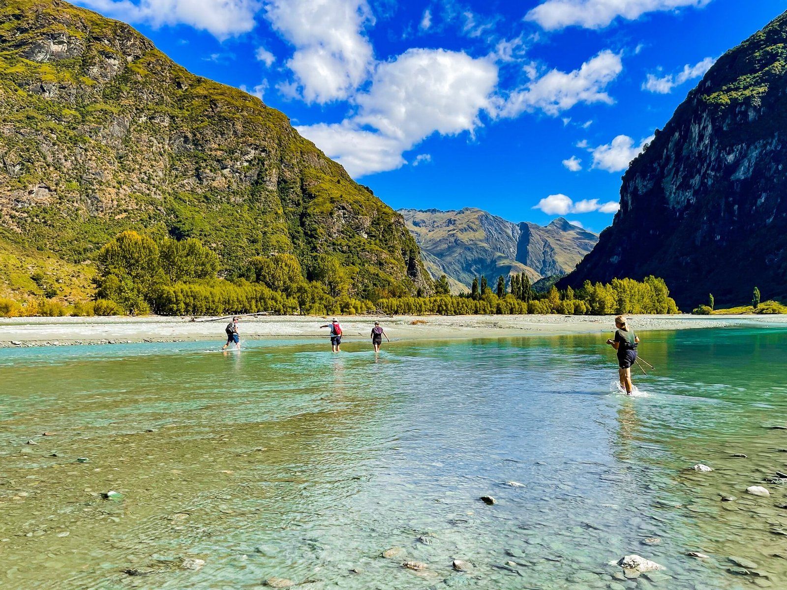
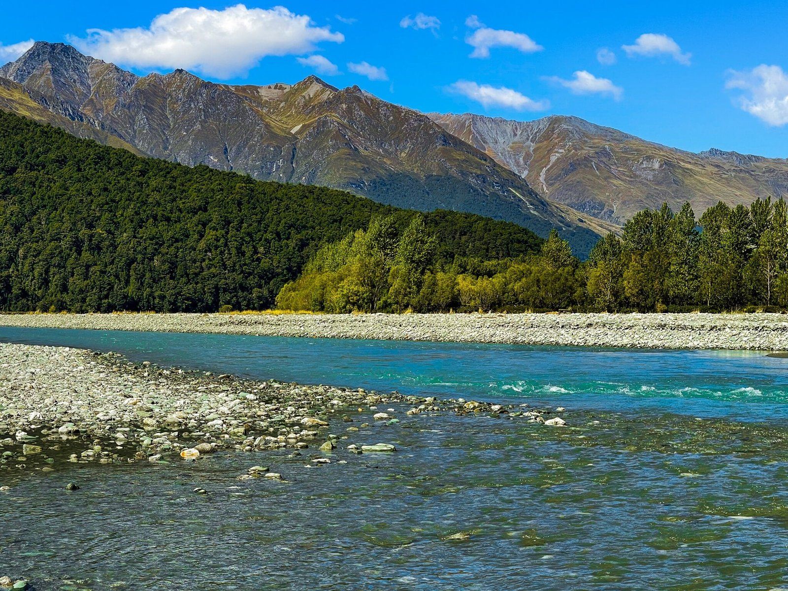
Although there are many excellent hikes in the Wānaka area, the Glacier Burn Track and East Matukituki Track offer something special. Start by crossing the Matukituki River at the Cameron Flat car park. The water depth in the River is variable, ranging from about knee to waist deep, depending on where and when you choose to cross. The water is not too cold in summer and autumn, but do take care. Being a braided river, there are also several sections separated by gravel.
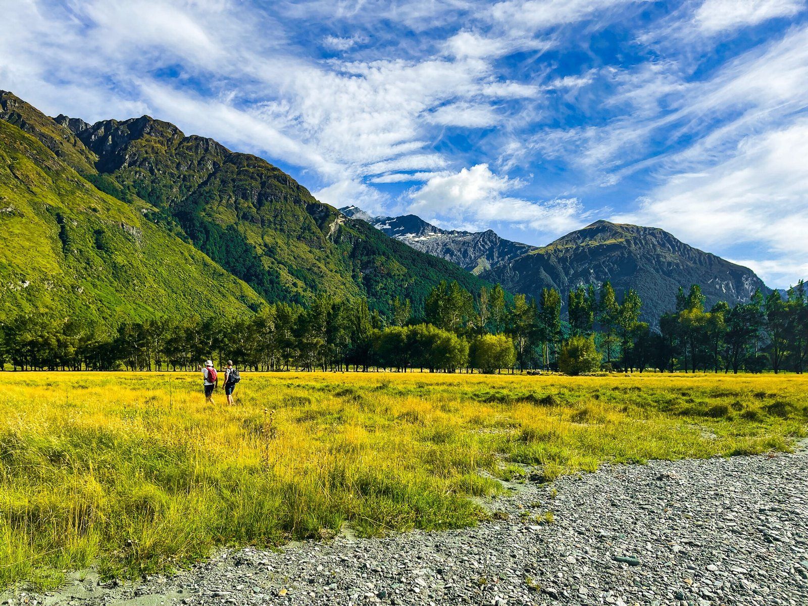
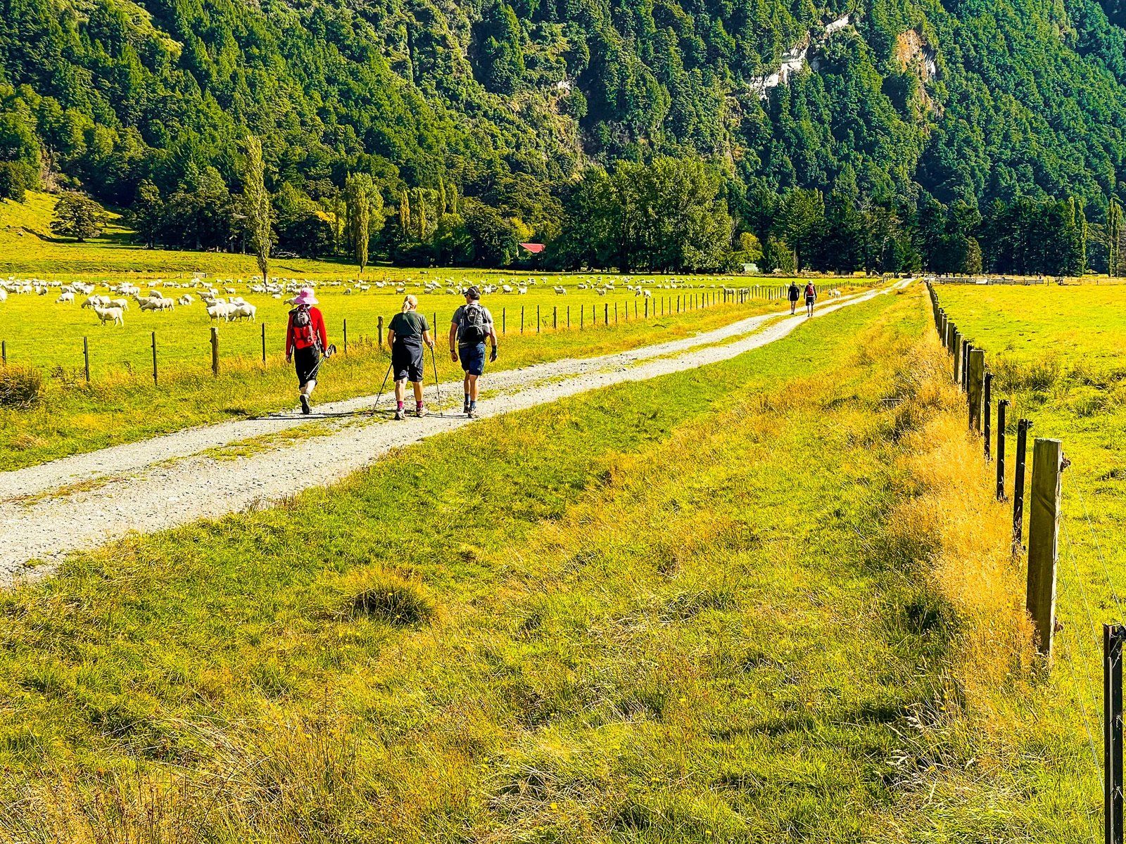
Once across the river, walk towards Cameron Flat Road in the East Matukituki and cross the station (farm) until you reach the East Matukituki Track. Follow the track until it reaches the edge of the beech tree forest next to Glacier Burn. It takes about an hour or so to get to this point.
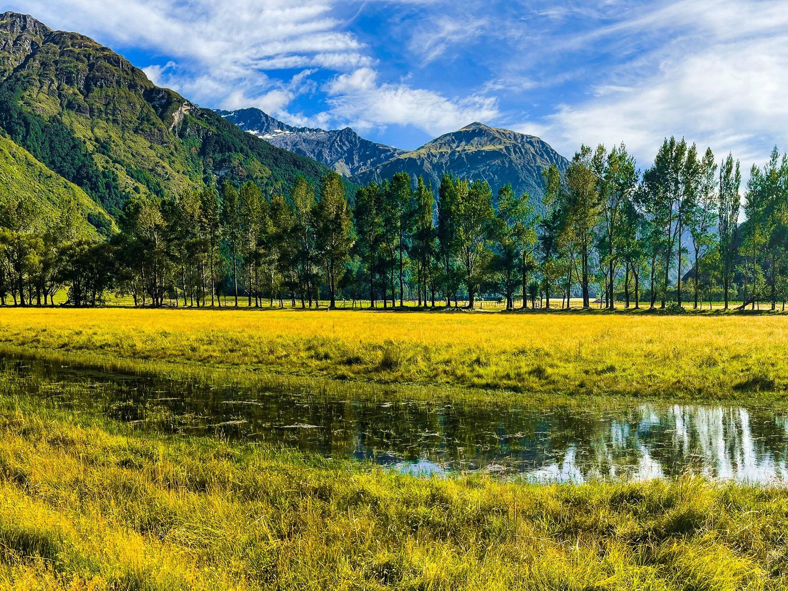
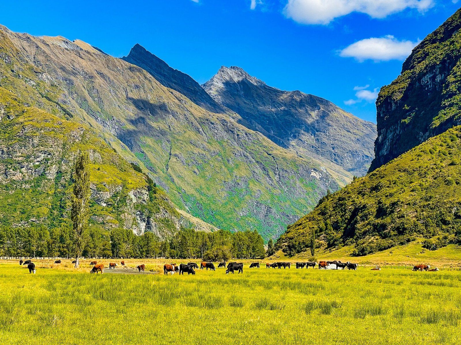
The best features of this walk section are the fun river crossing and the expansive views of the wide East Matukituki valley, surrounded by mountain ranges. The Mt Aspiring massif is on your left, but you can’t see the peak.
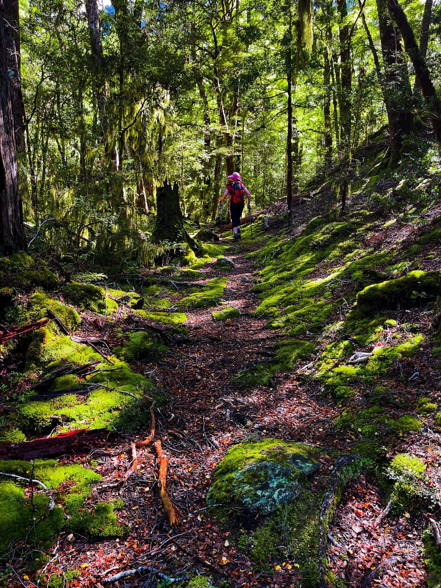
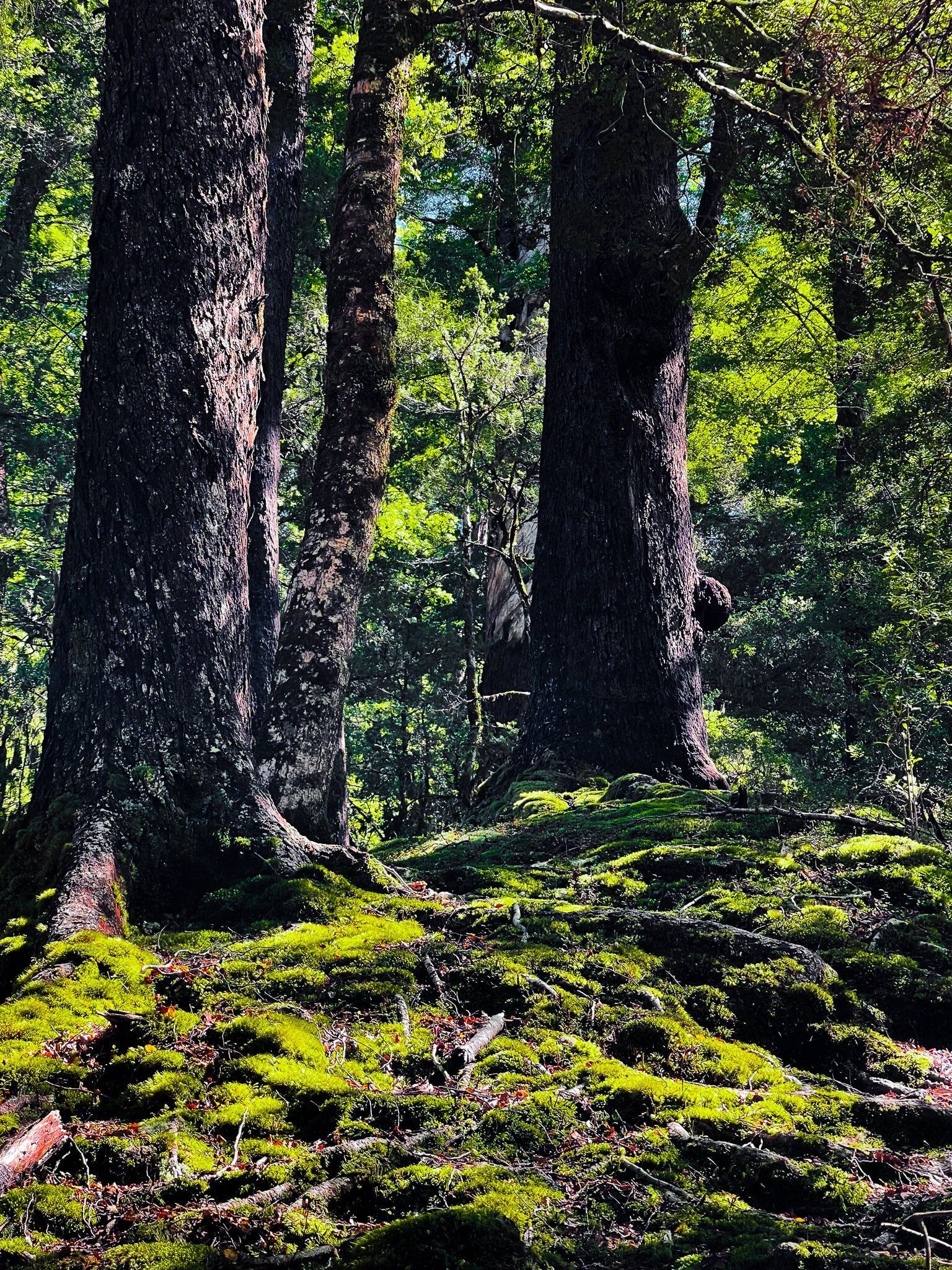
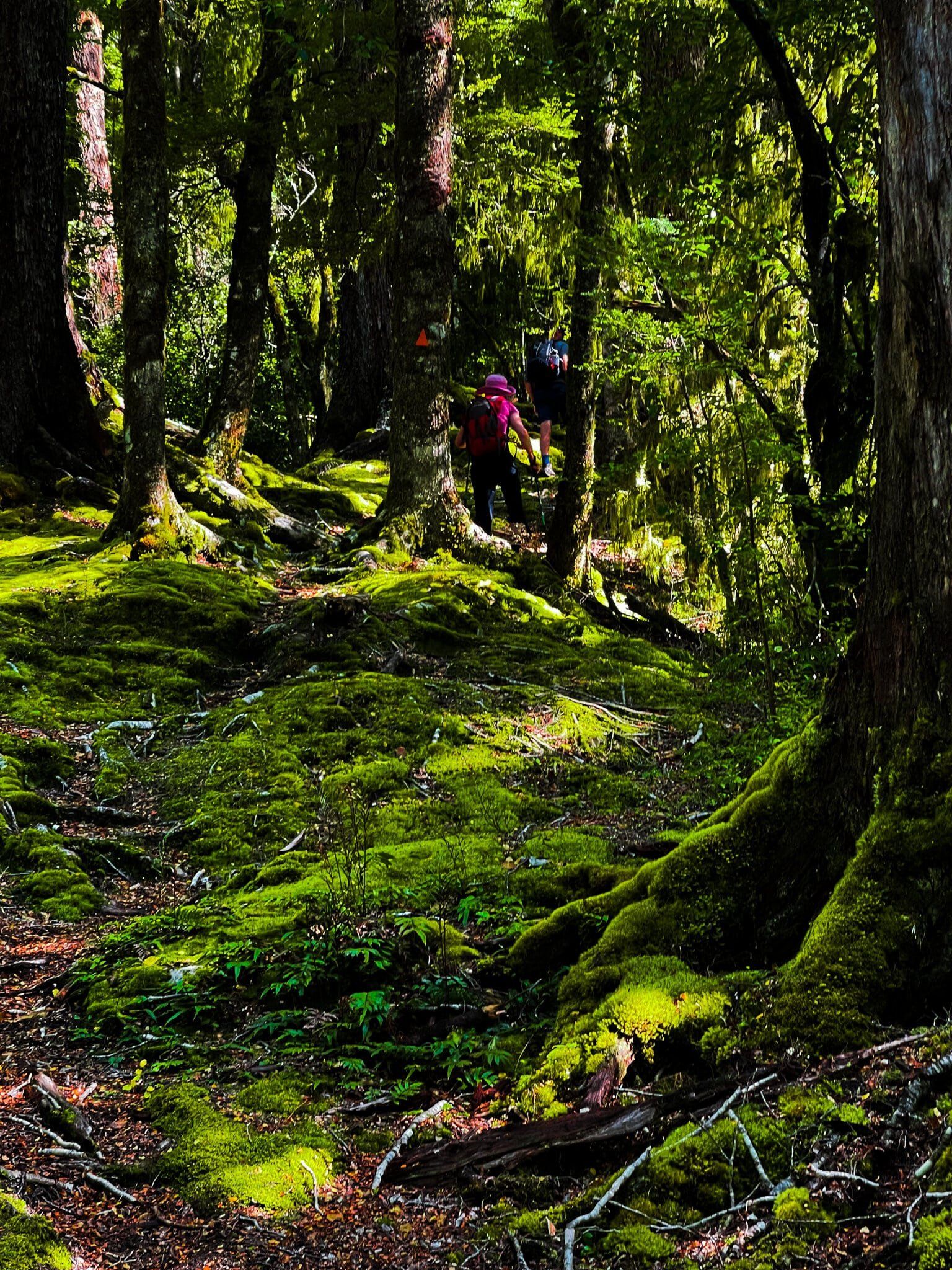
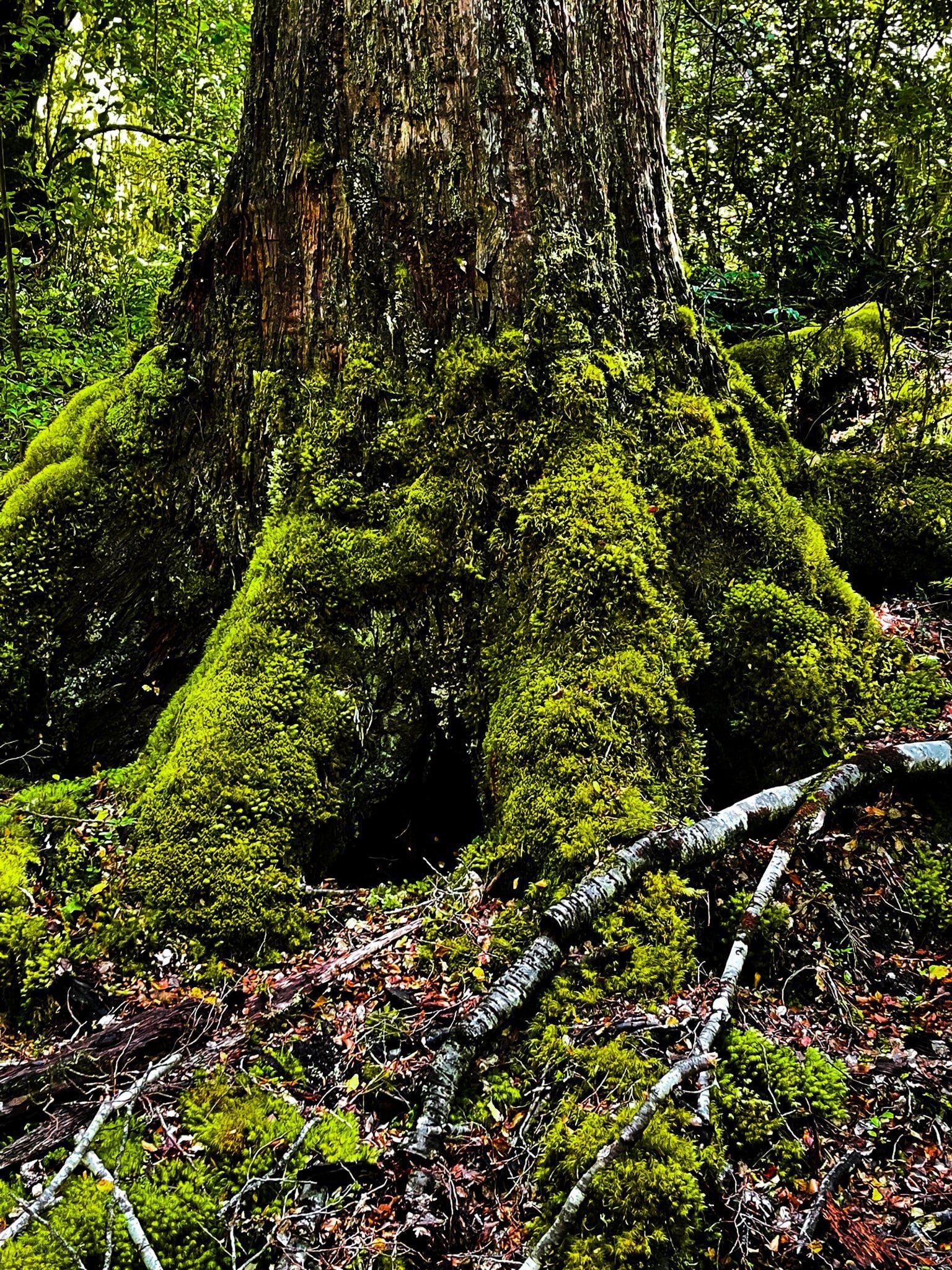
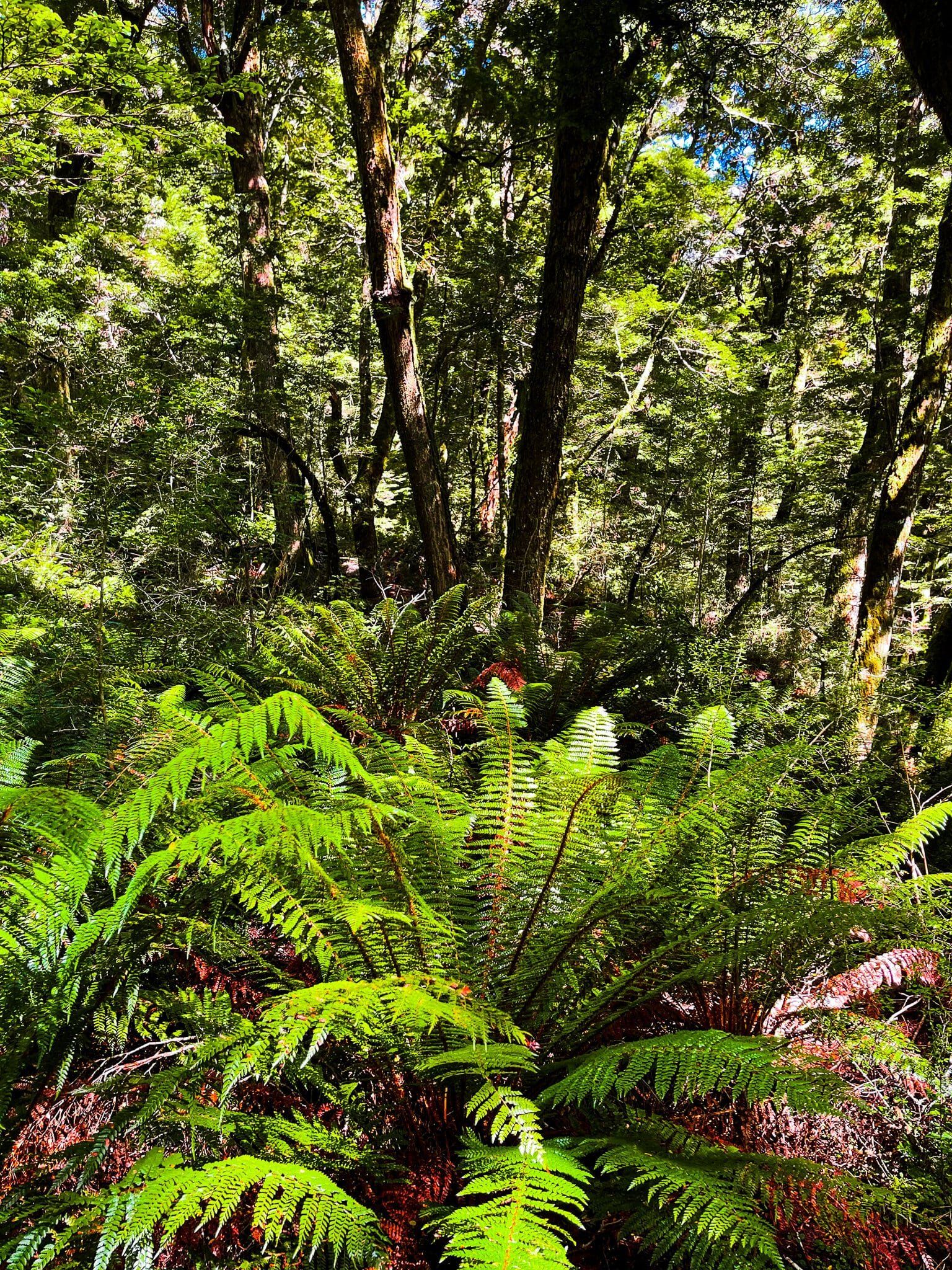
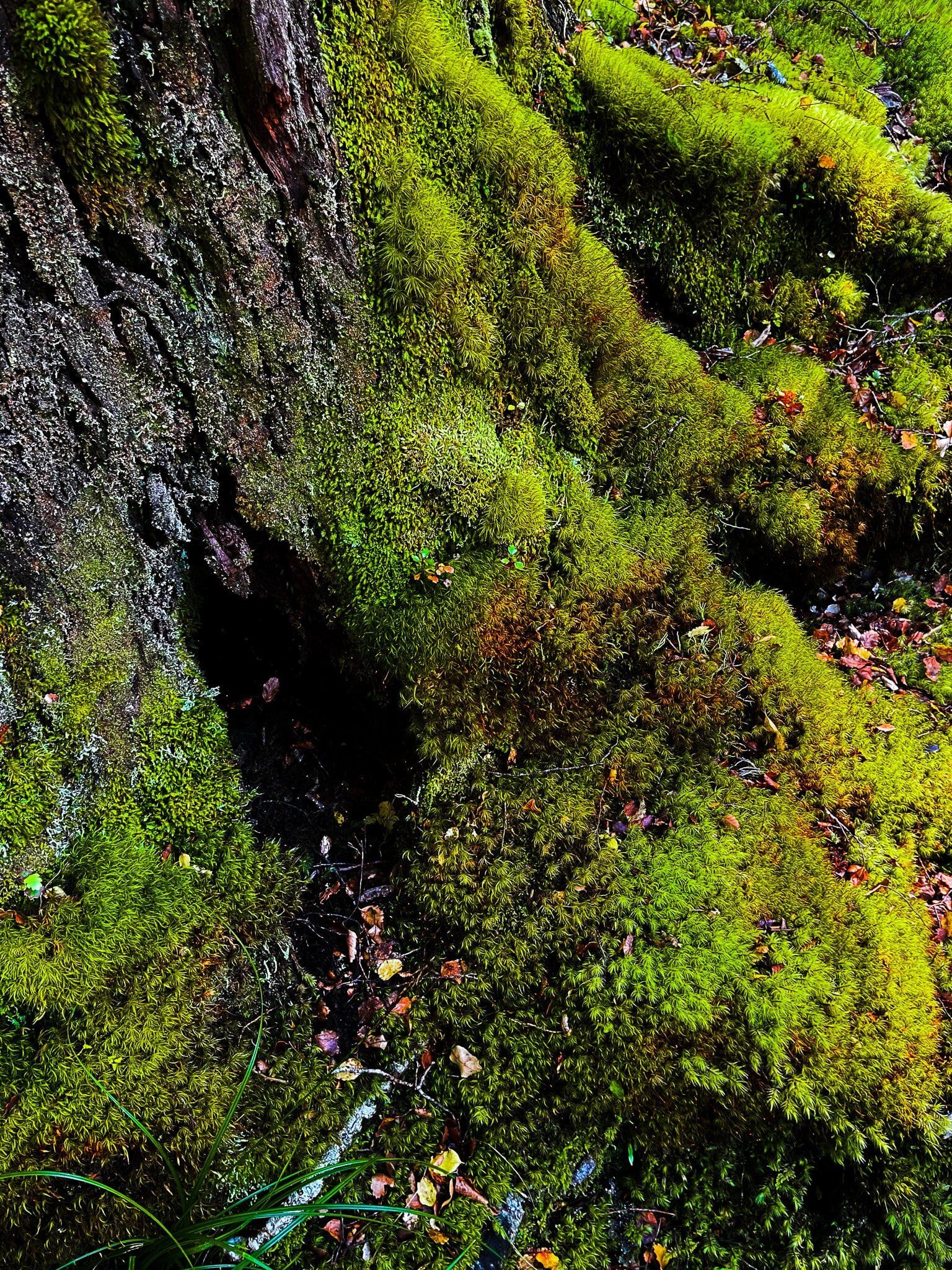
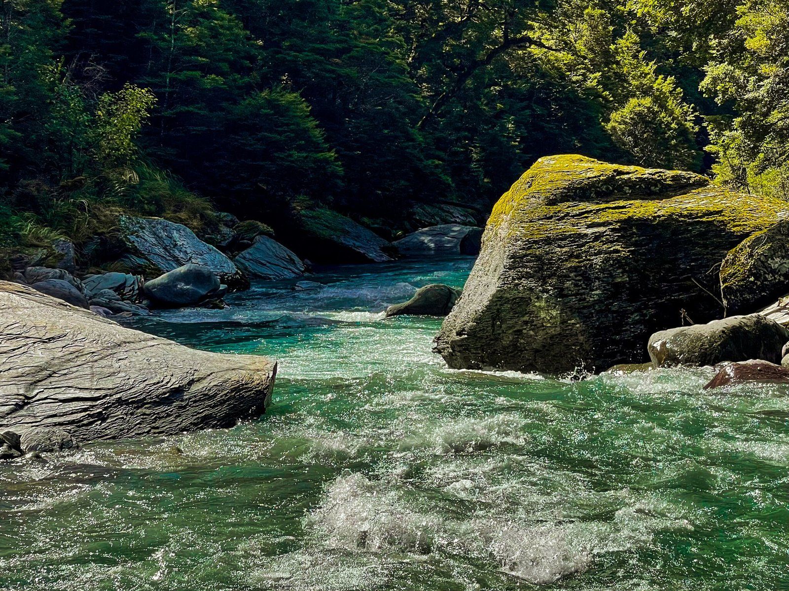
The second part of the walk is on the Glacier Burn Track. This takes you into the beech forest at the base of the Mt Aspiring massif. The track climbs up 200 metres to a very pretty high point in the forest, then drops back down to Glacier Burn (rough in places).
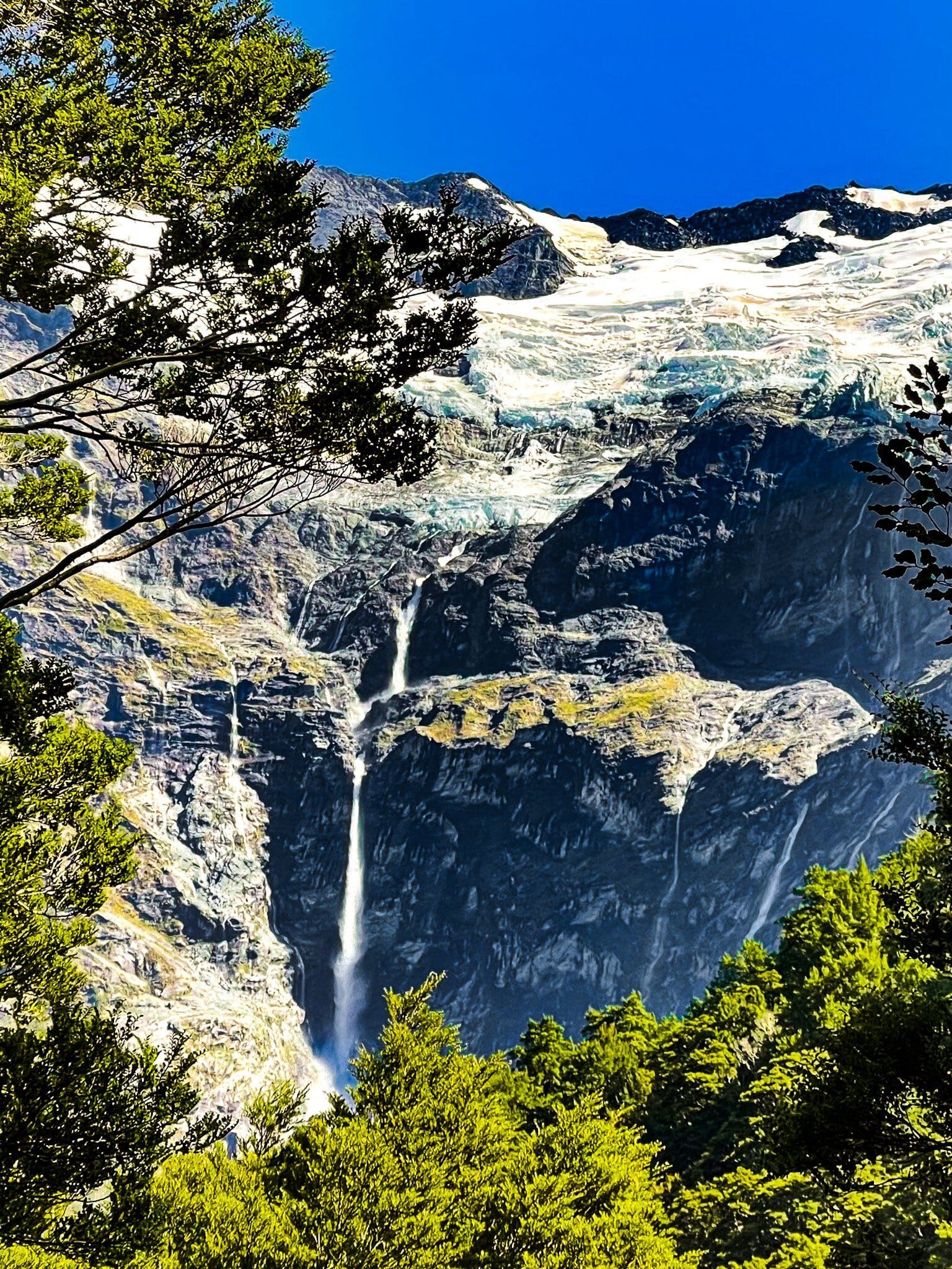
You can spot Avalanche Glacier from several places, as well as the unnamed high main waterfall that feeds the burn. The track terminates at the burn with a decent view of Low Peak (2,609 metres) and the glacier. Head back the same way.
Allow about 40 to 60 minutes for this section of the track.