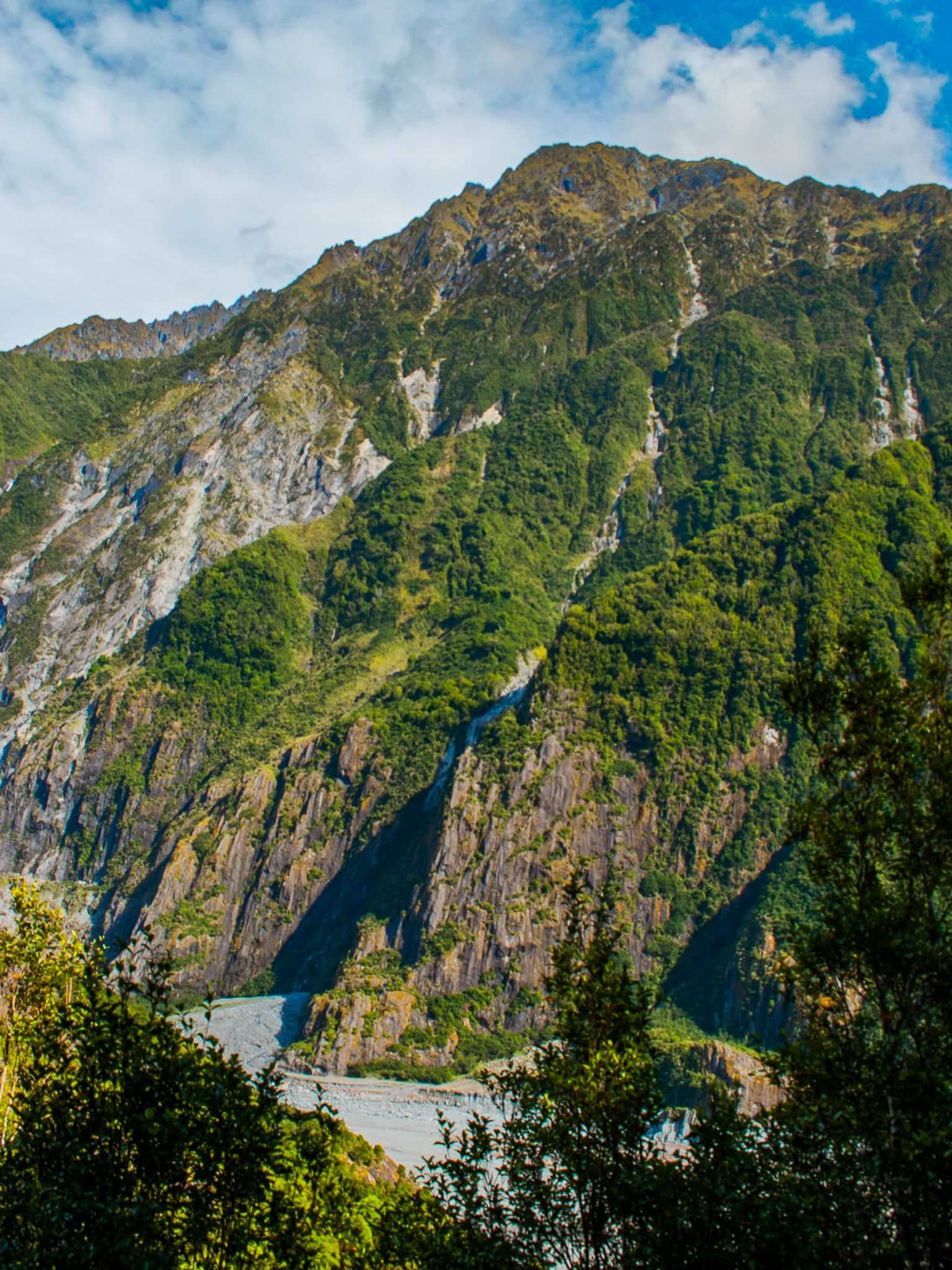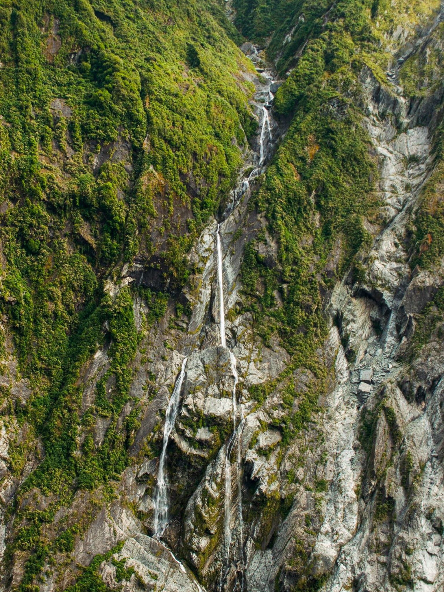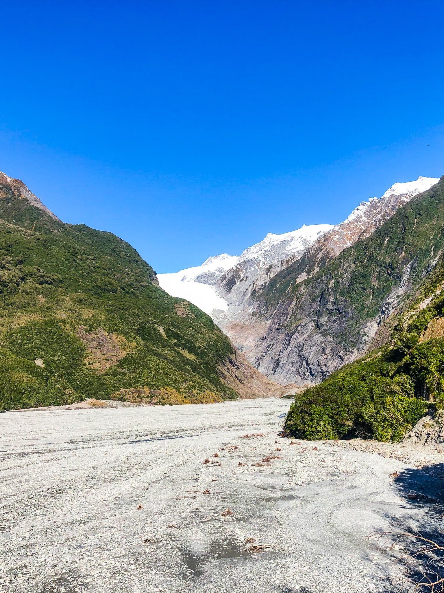
Franz Josef Glacier / Kā Roimata o Hine Hukatere is 12 km long. It starts at over 2,500 metres and drops to 300 metres amongst the rainforests of Glacier Country, Westland in the South Island. It is a leading feature of Te Wāhipounamu World Heritage Area. The first European description of the Glacier was believed to be from a ship observation in 1859. In 1865, the German explorer Julius von Haast named the glacier after the Austrian Emperor Franz Josef I.
The Māori name for the glacier is Kā Roimata o Hine Hukatere, and much more romantic. It means ‘The tears of Hine Hukatere’, referring to the tears of Hine that formed the glacier following the death of her less capable climbing partner Tuawe in an avalanche.
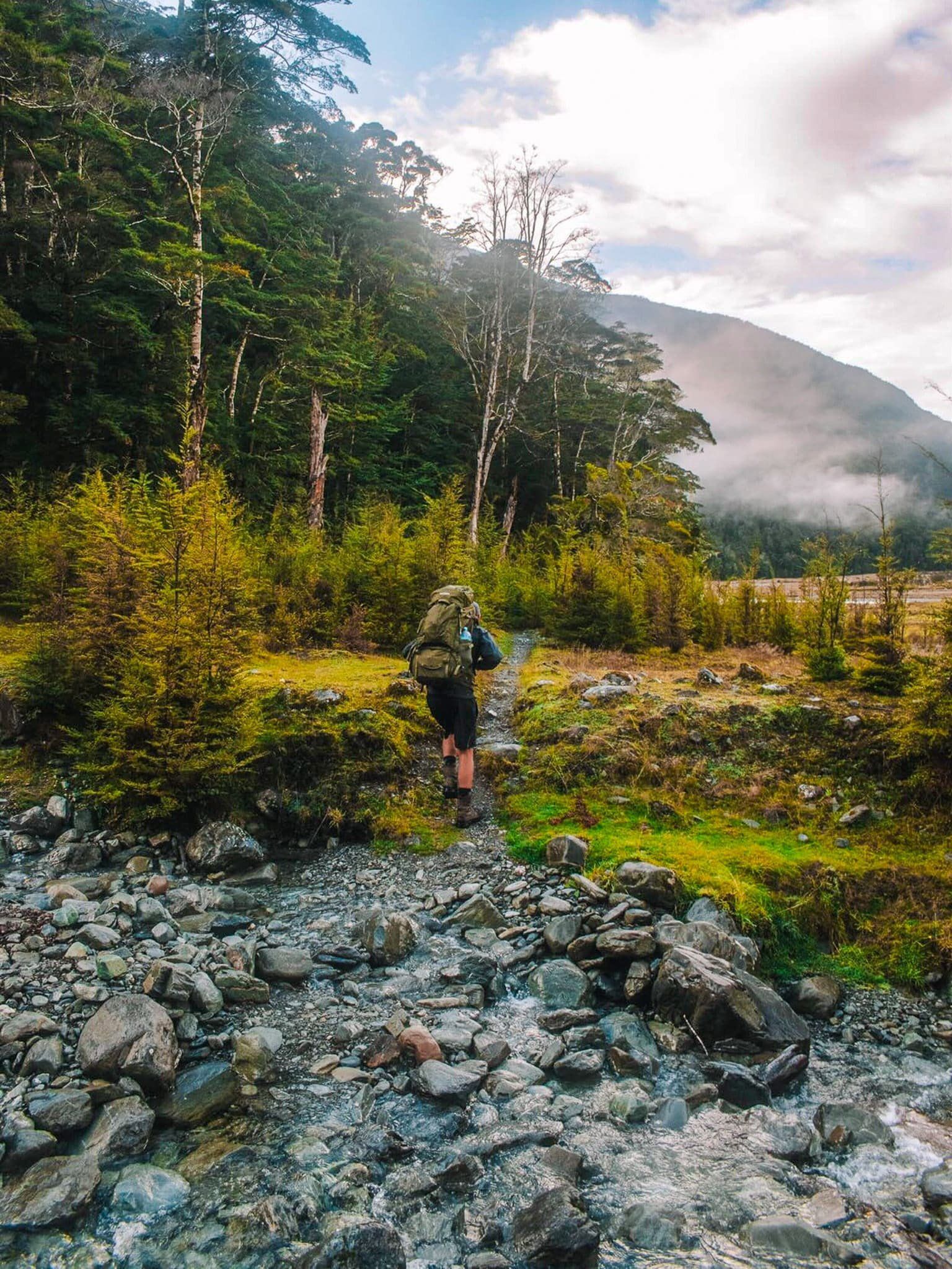
It has long been a major tourist attraction, and it was once possible to walk to the terminus of the glacier. However, approaching the face has become dangerous as it has retreated (over three km in the last 100 years). Access now requires helicopters and guides. There are also several tracks around the Waiho River valley leading towards the glacier.
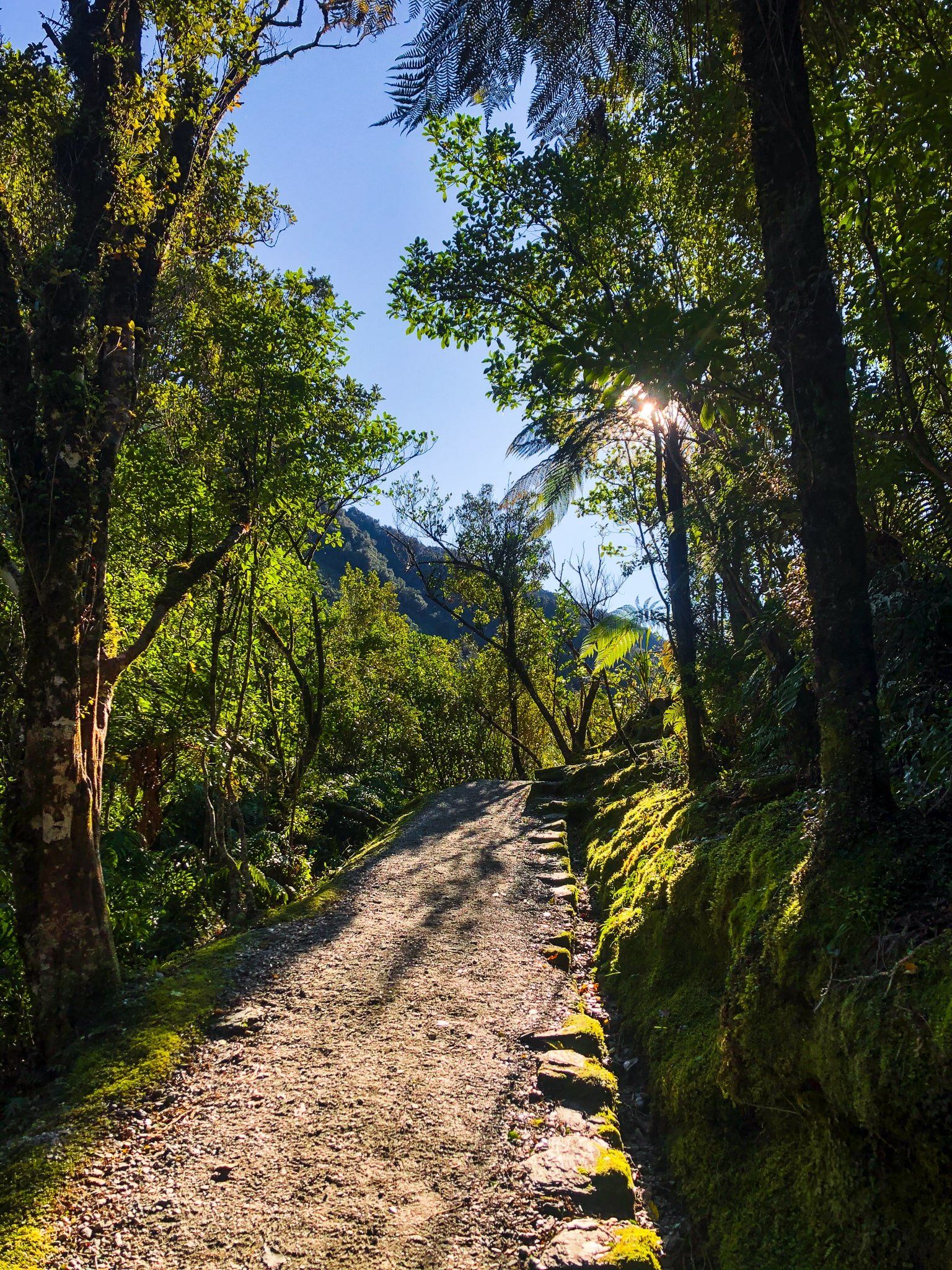
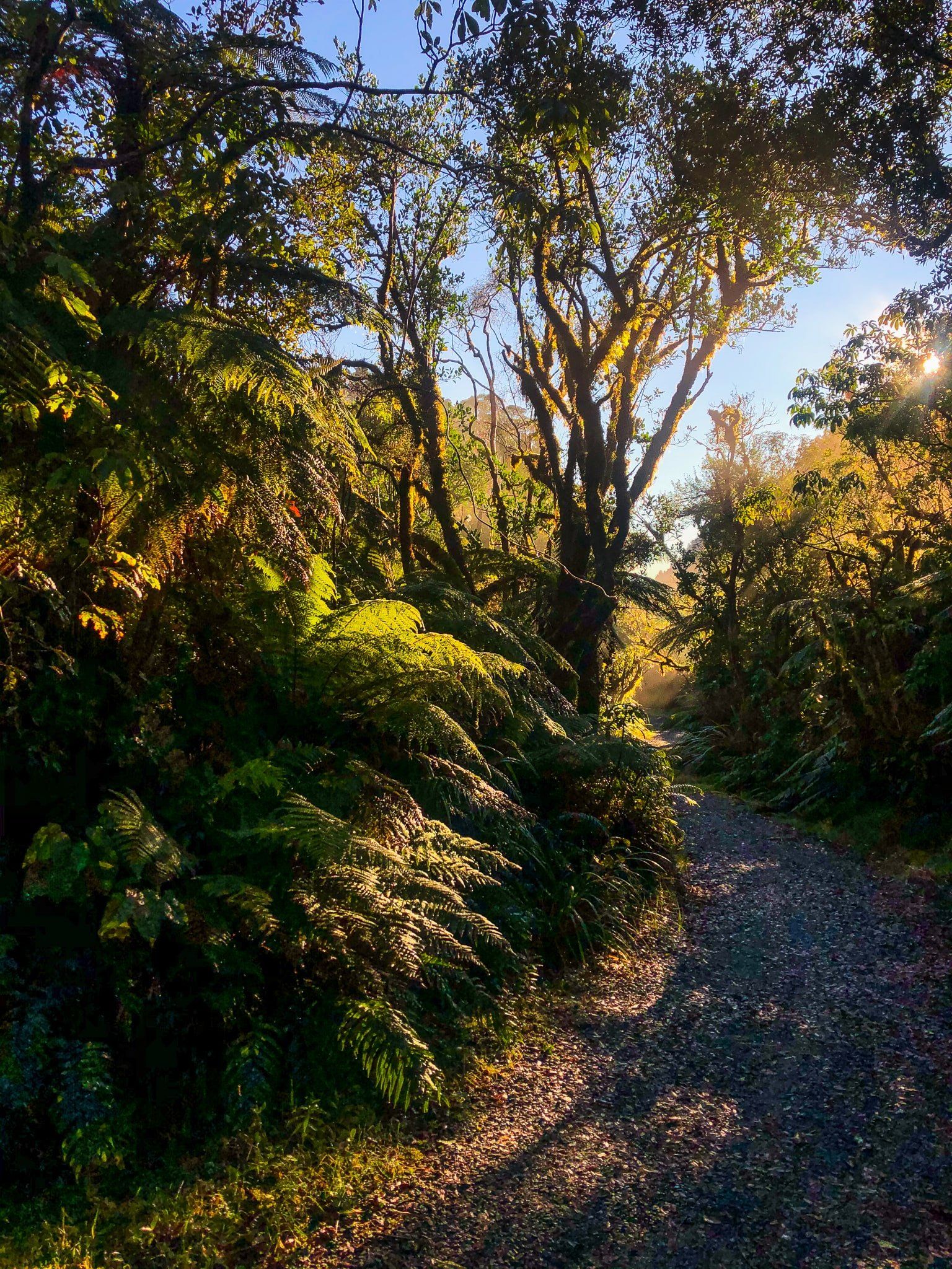
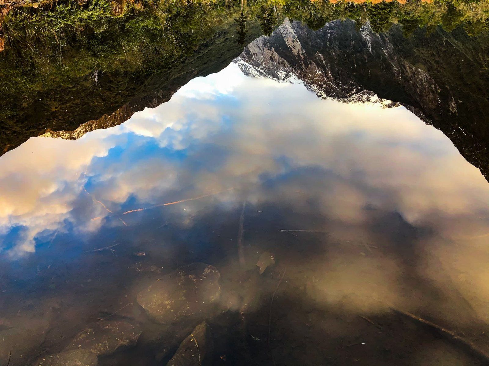
To access the valley tracks, take Franz Josef Glacier Road off State Highway 6 immediately to the south of Franz Josef Waiau township. Park at the start of Alex Knob Track and Douglas Walk or drive to the end of the main car park. The former provides quicker access to the Roberts Point Track, Alex Knob Track and Lake Wombat Walk. From the end of the car park, there are short, easy walks to Peters Pool on Douglas Track, to the edge of the valley and the top of Sentinel Hill.
Thanks to Georgia (@the_cornishpixie) and Jan Rozen for the photos.