
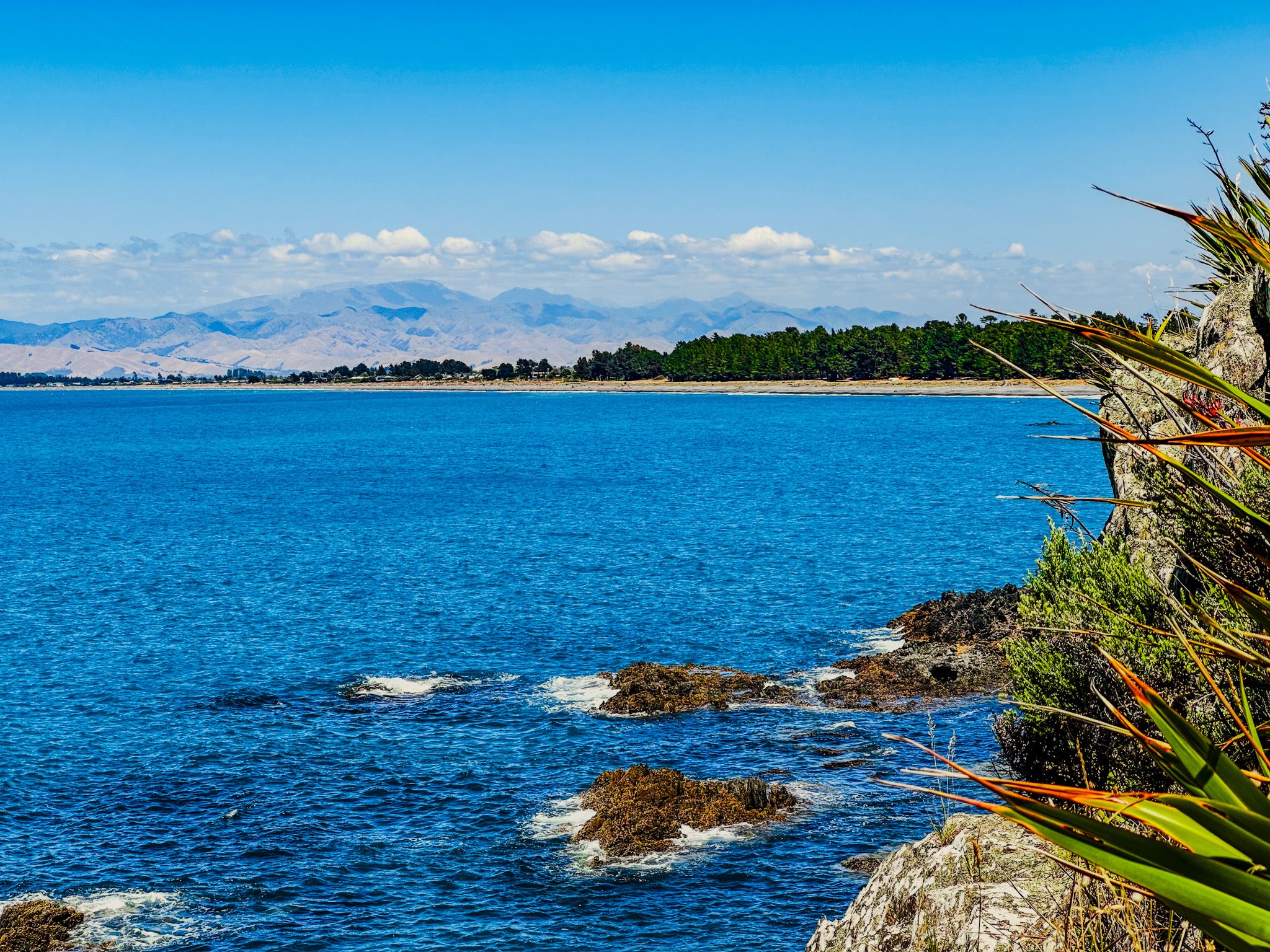
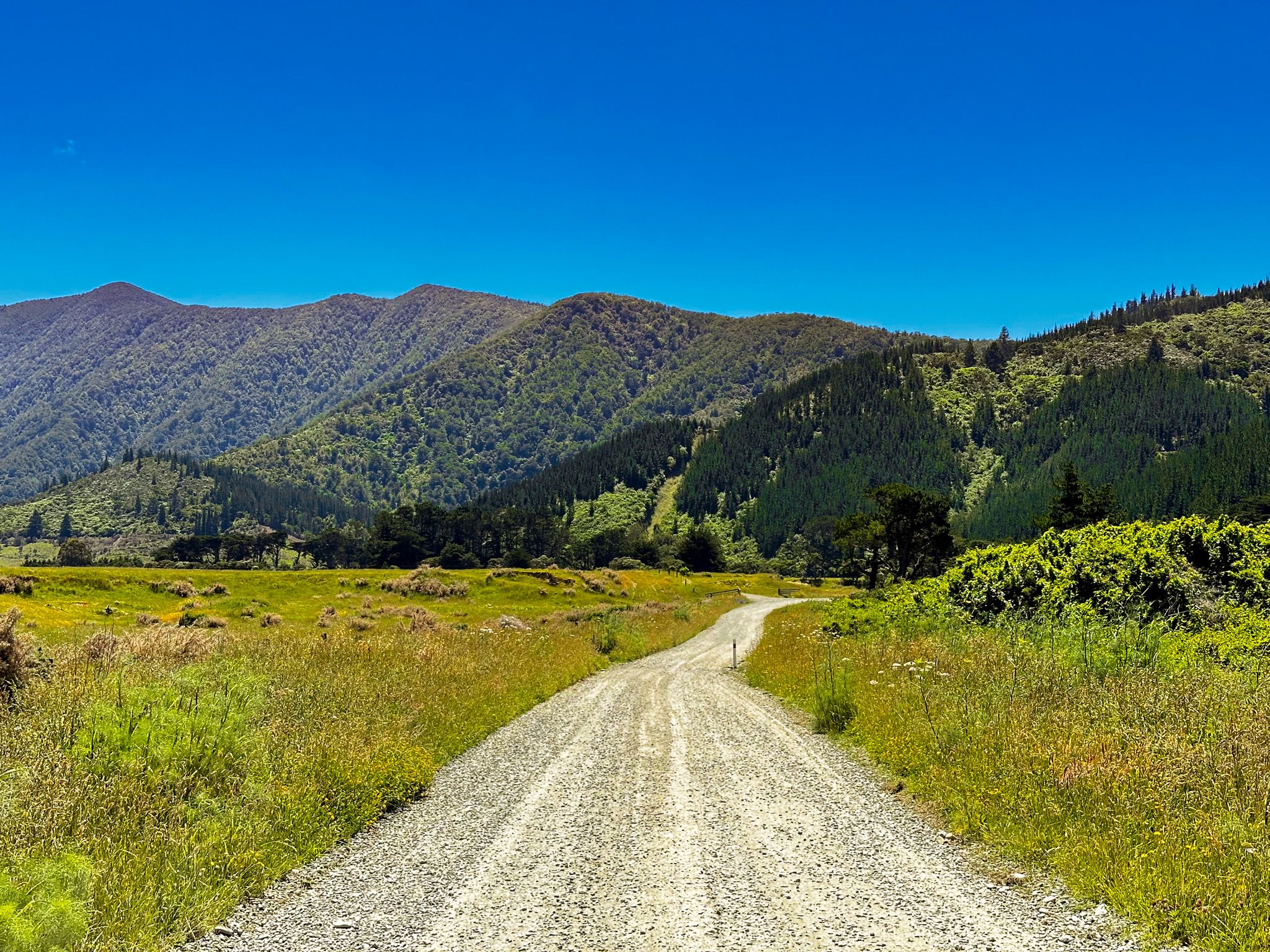
Road access to the Marlborough Sounds is limited. One of the options is Port Underwood Road, a rugged half loop that connects Rurangi at the north end of Te Koko-o-Kupe / Cloudy Bay to Whanganui / Port Underwood, then to Picton in Queen Charlotte Sound / Totaranui. Because it is rugged, with limited facilities along the way, it tends to be overlooked by tourists. But there are several attractive, accessible bays, with camping at Pukatea / Whites Bay, Robin Hood Bay and Whatamango Bay, plus some amazing views and interesting walks, from easy to challenging tramps.
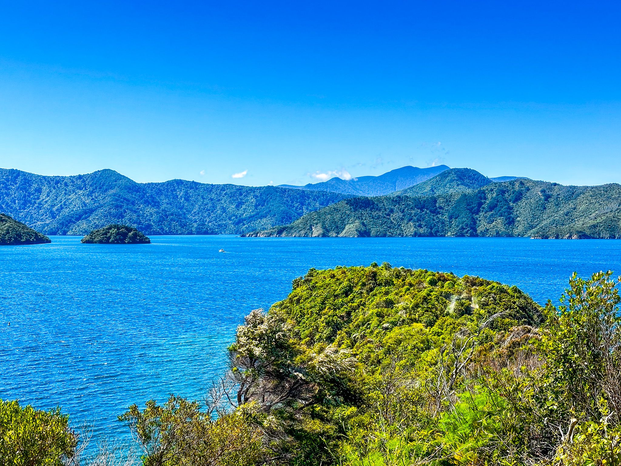
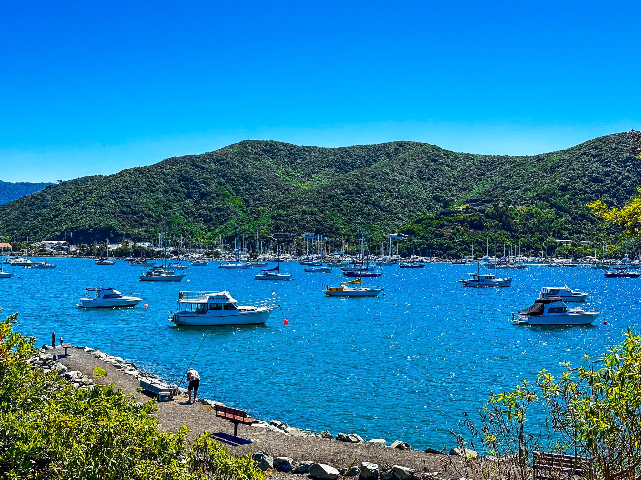
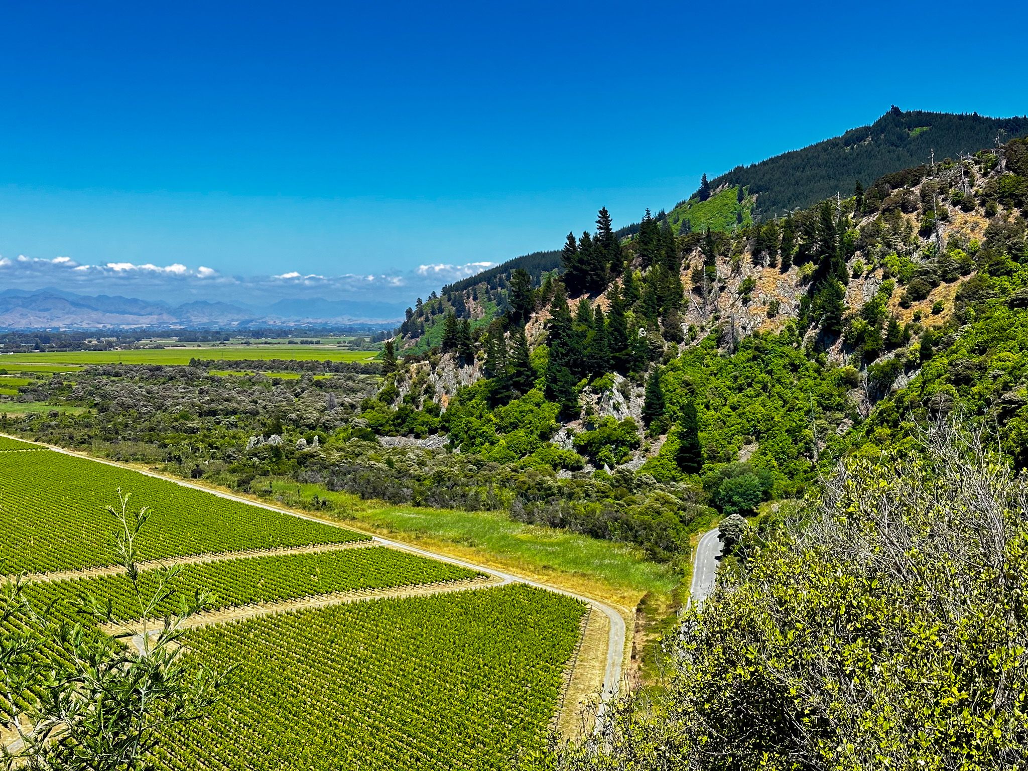
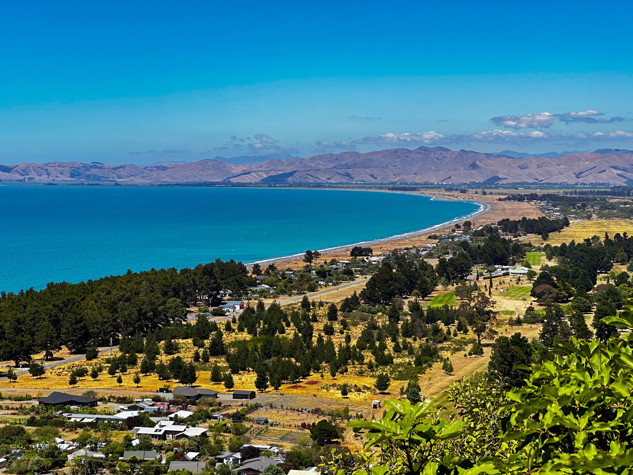
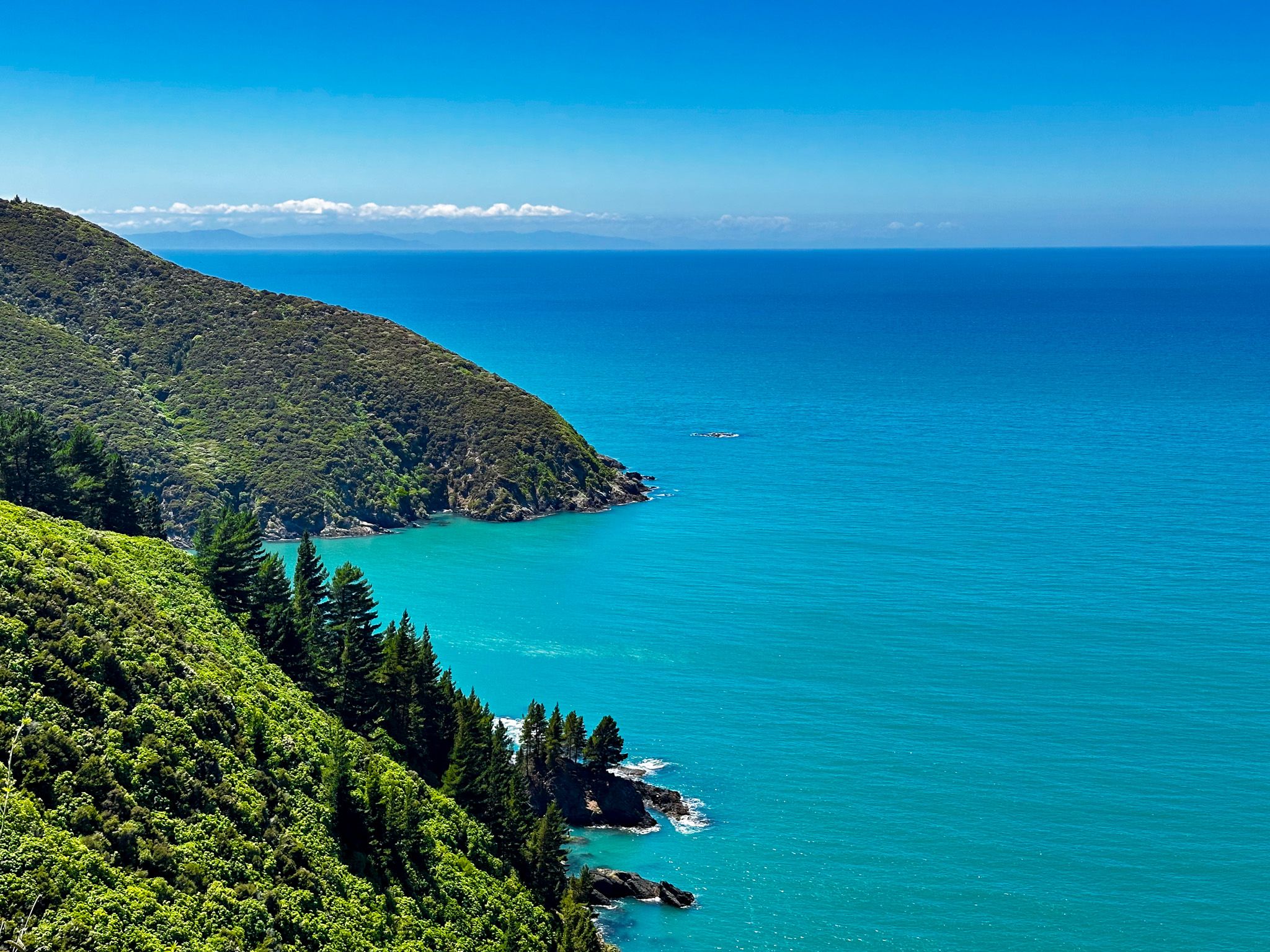
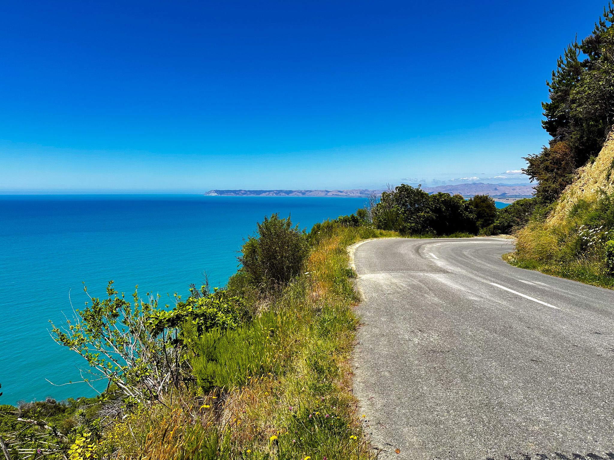
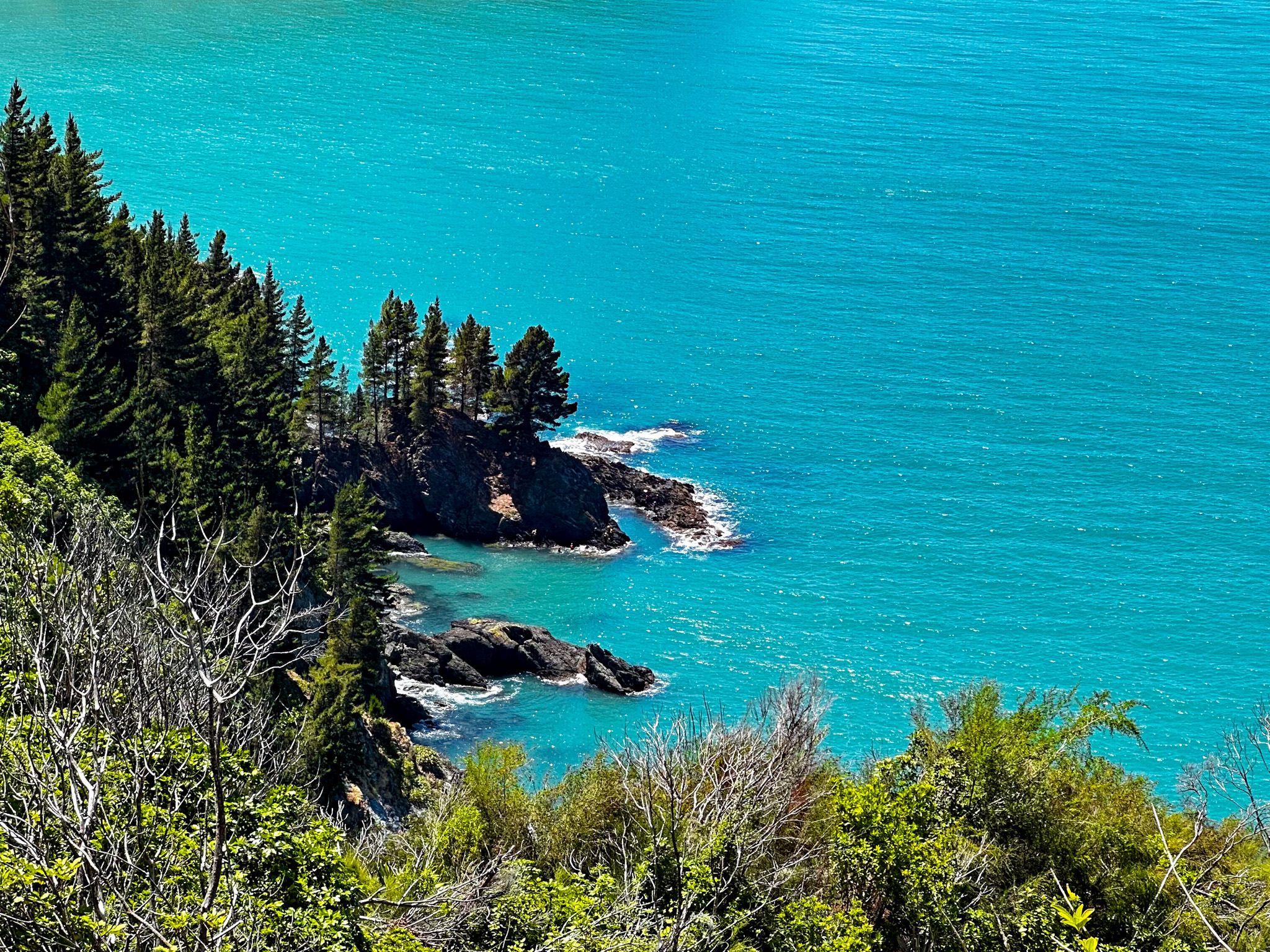
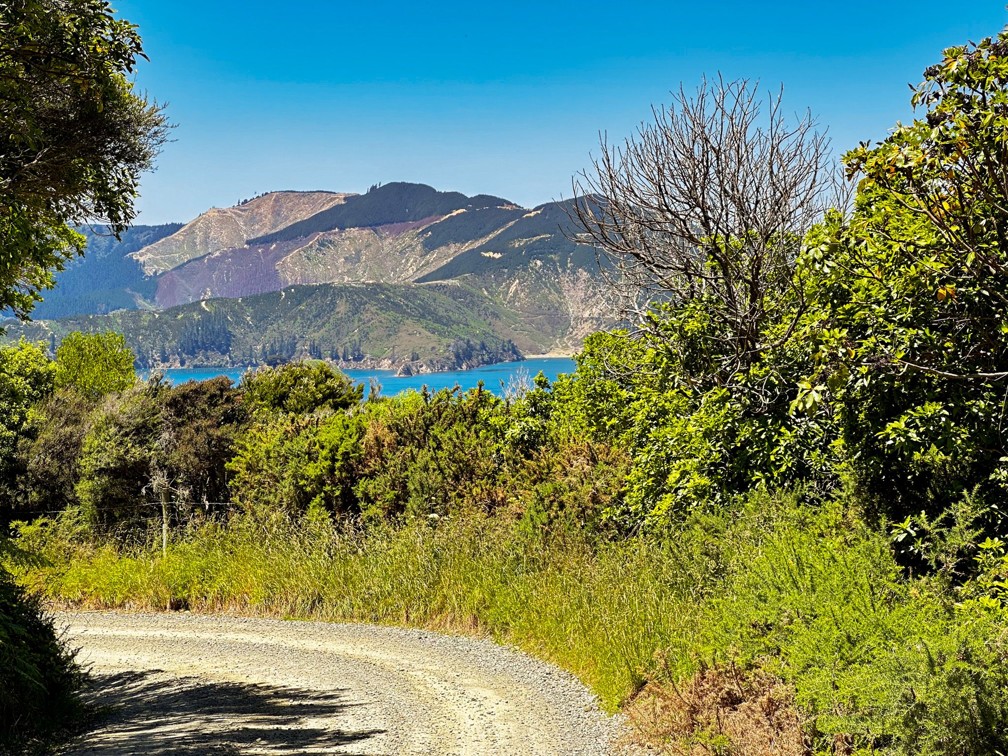
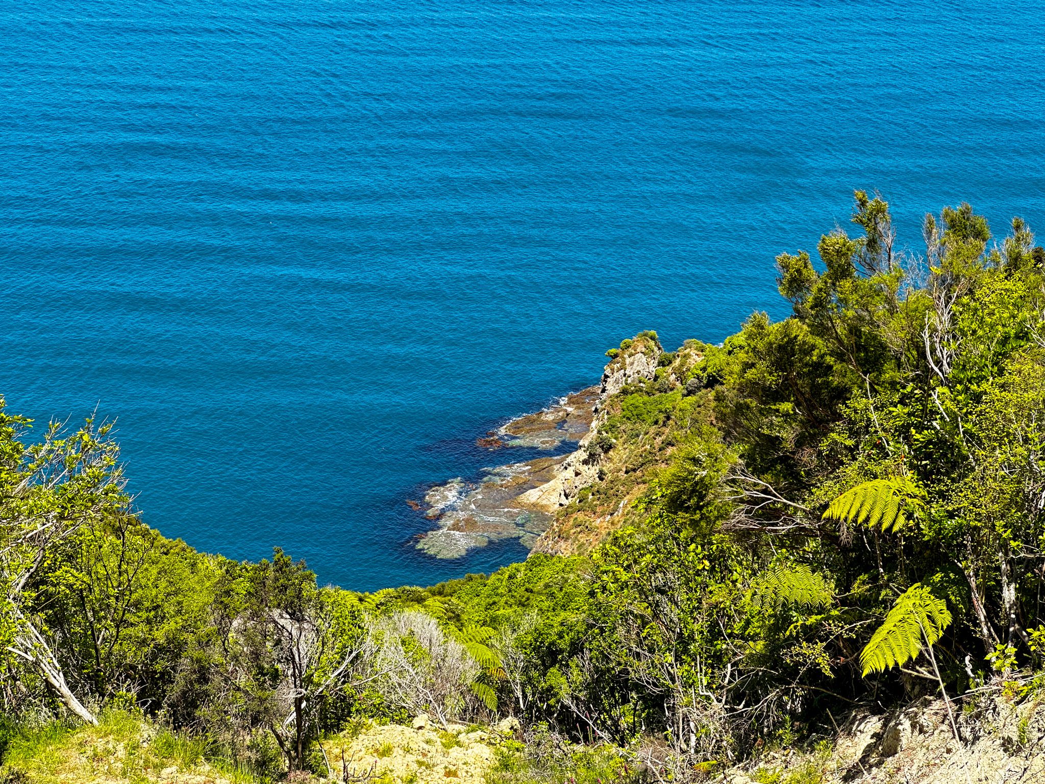
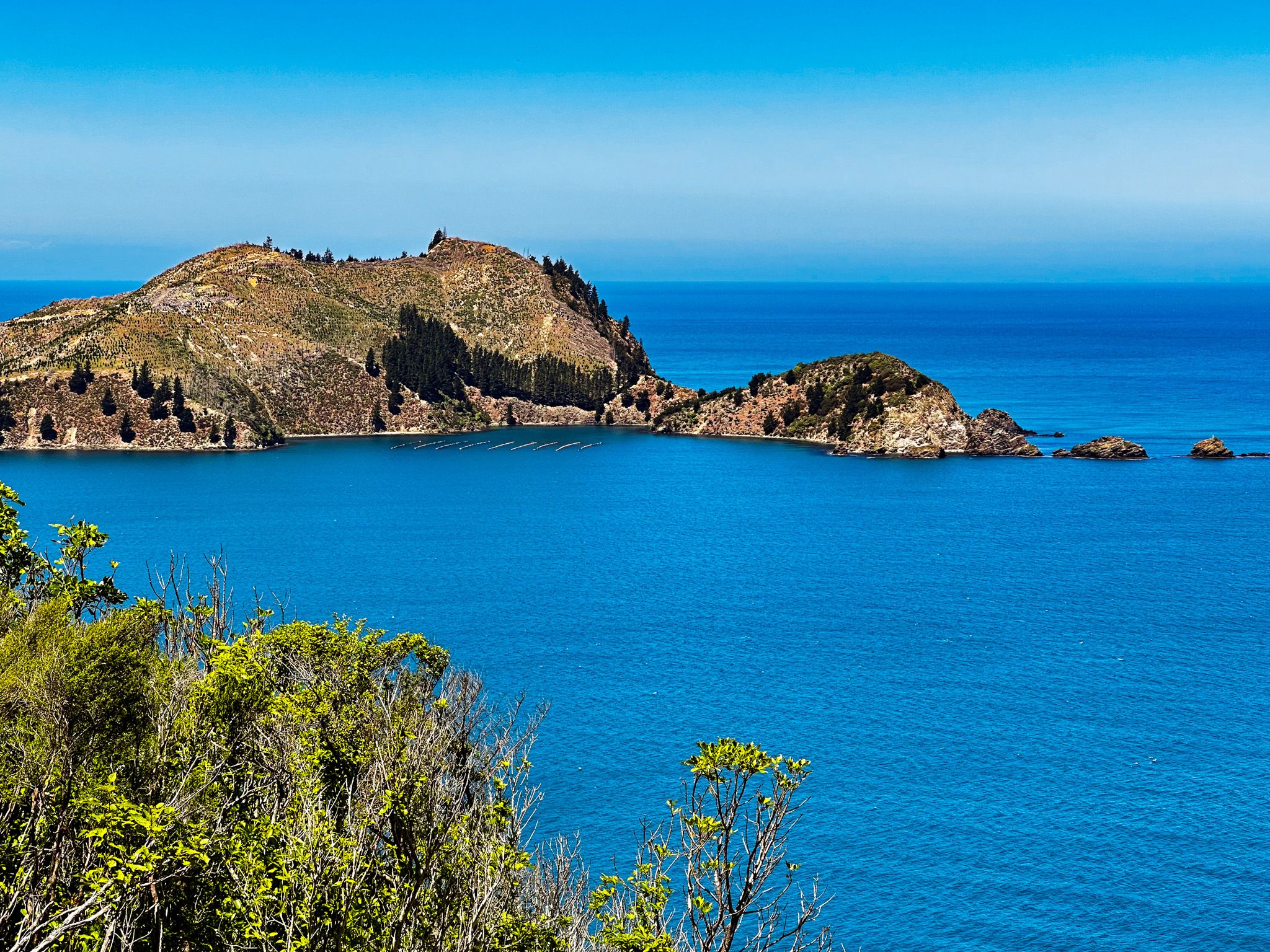
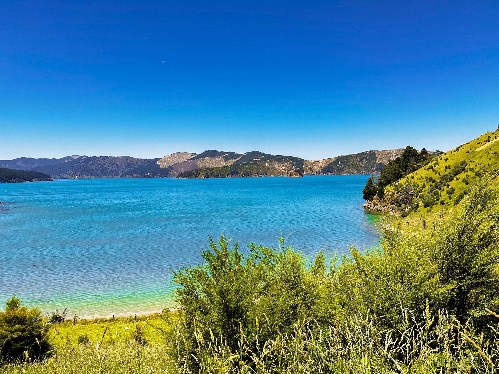
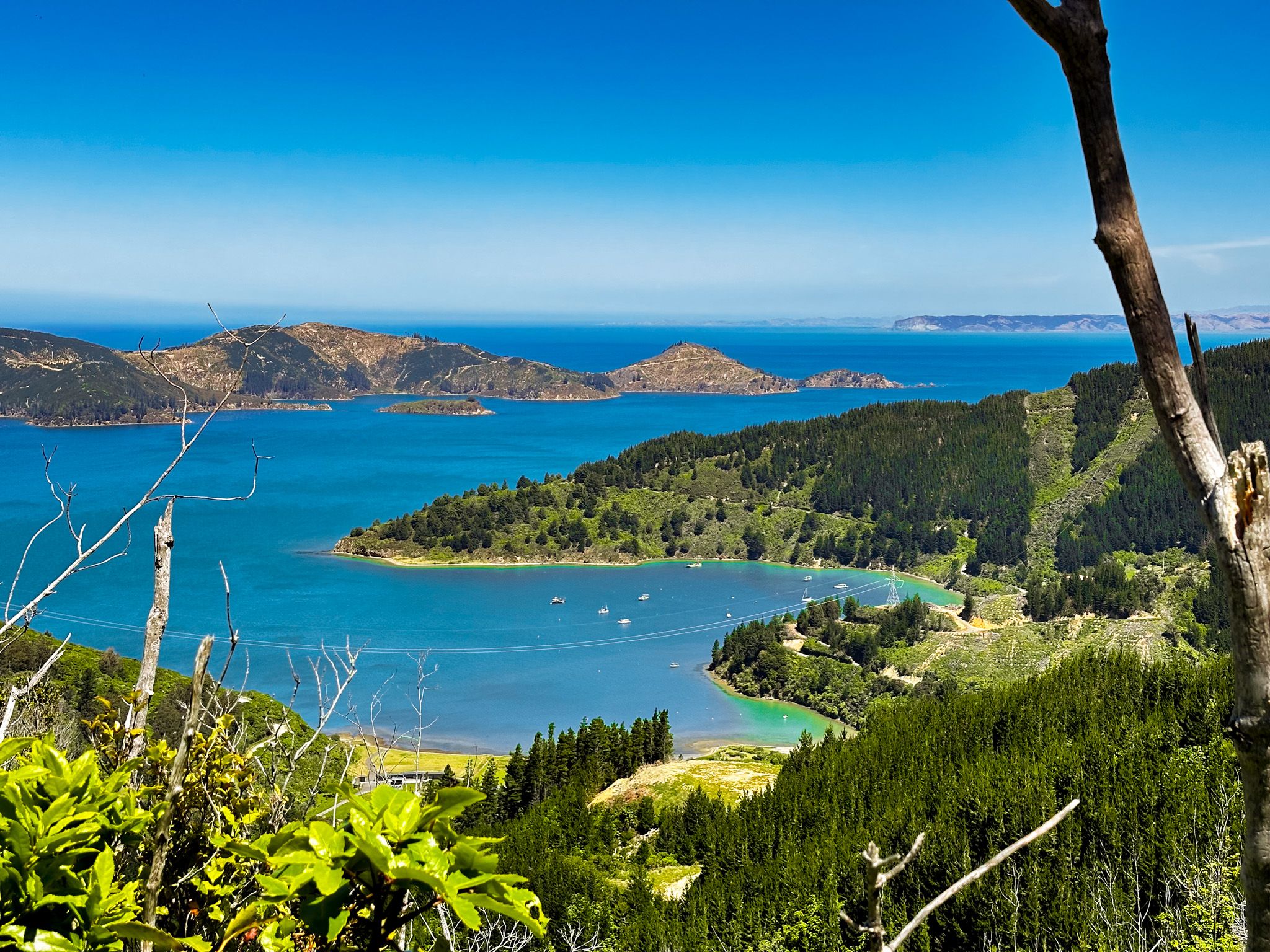
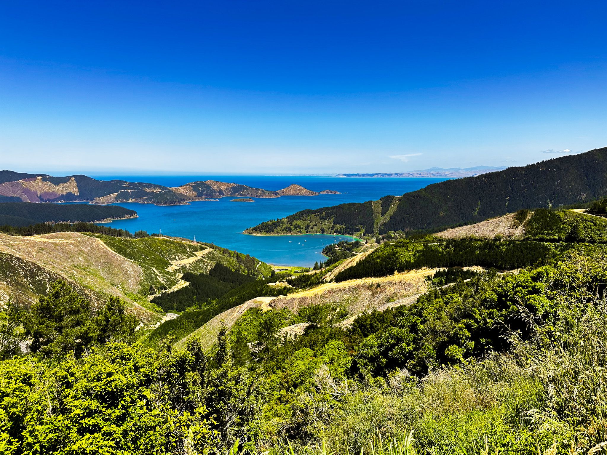
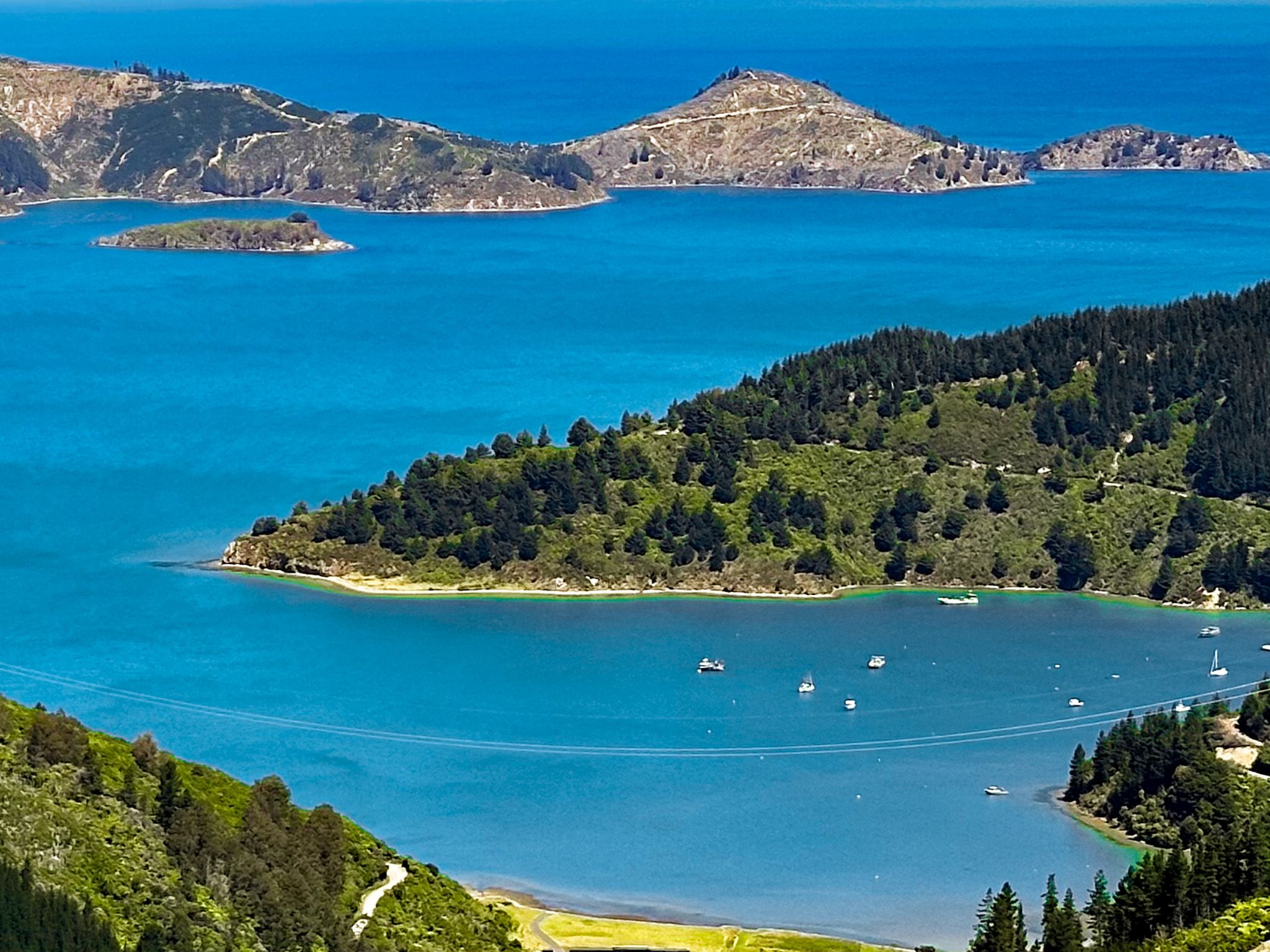
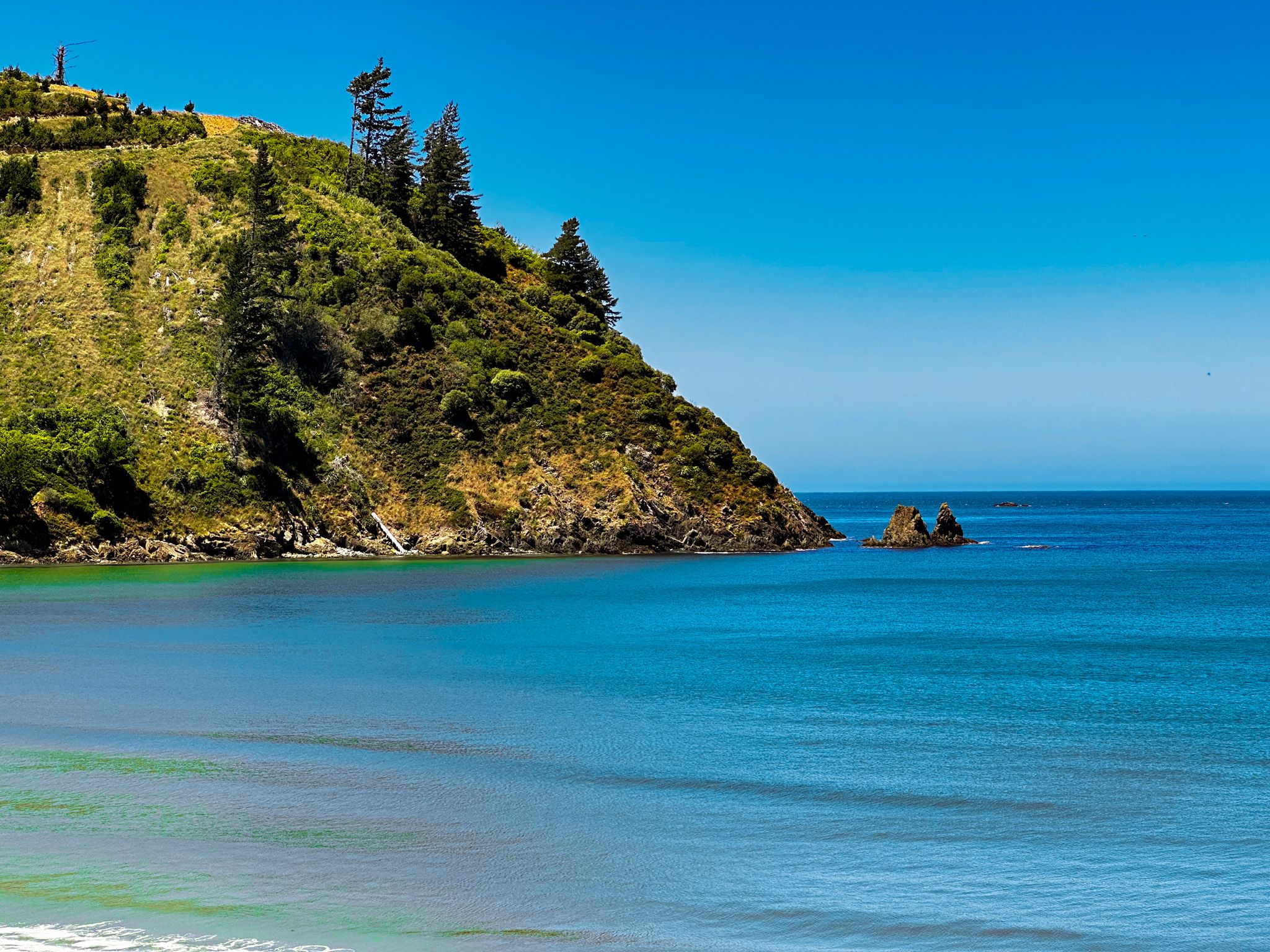
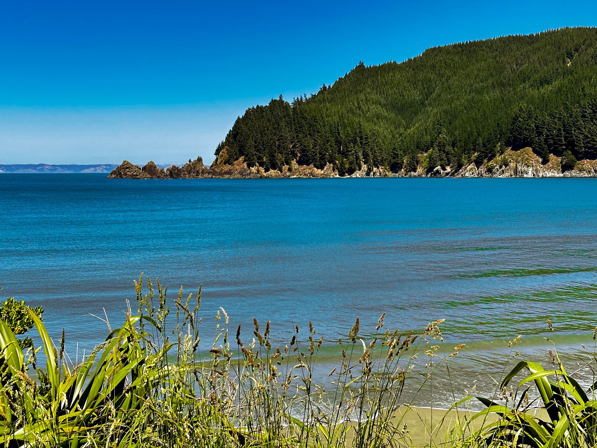
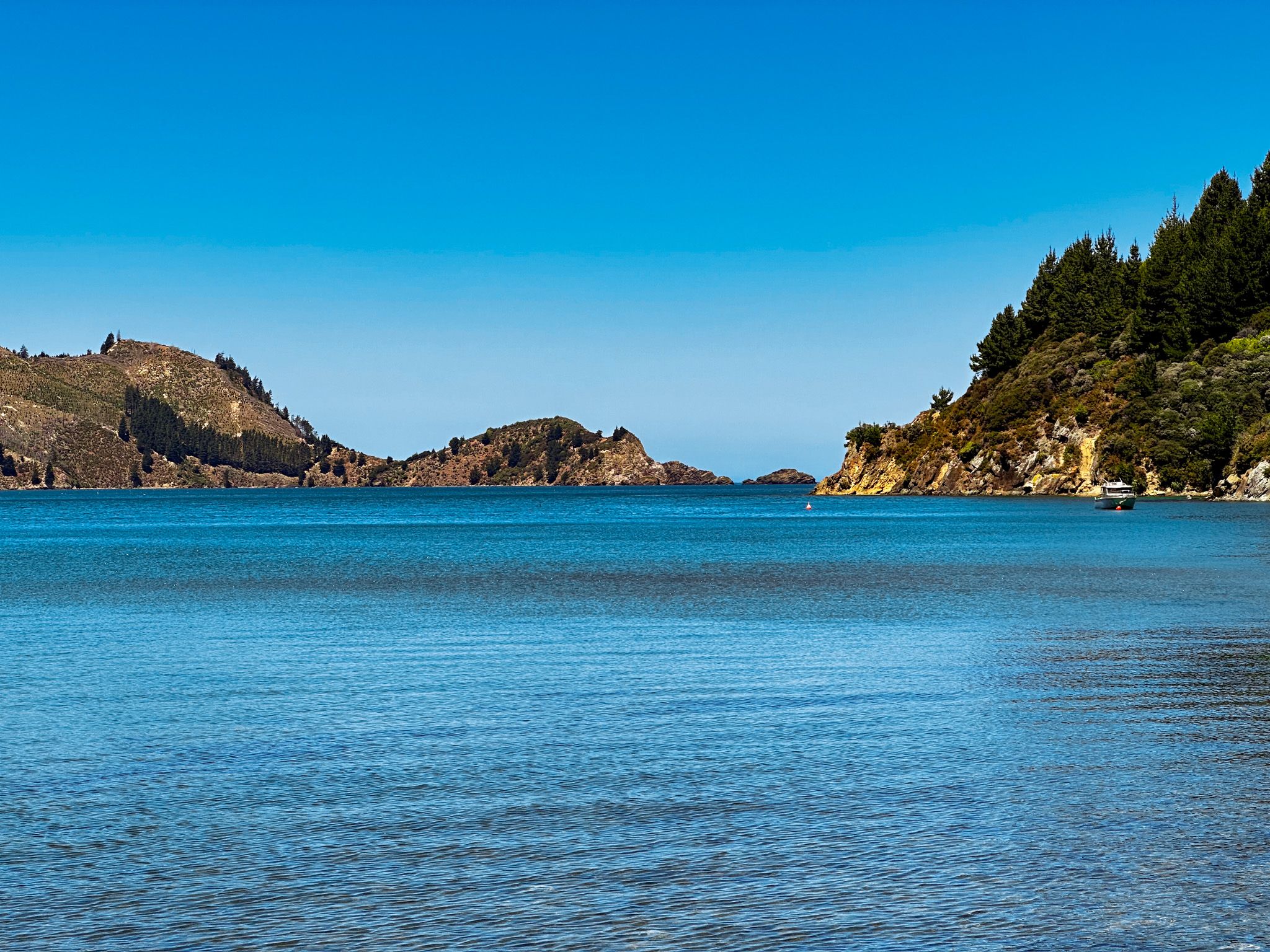
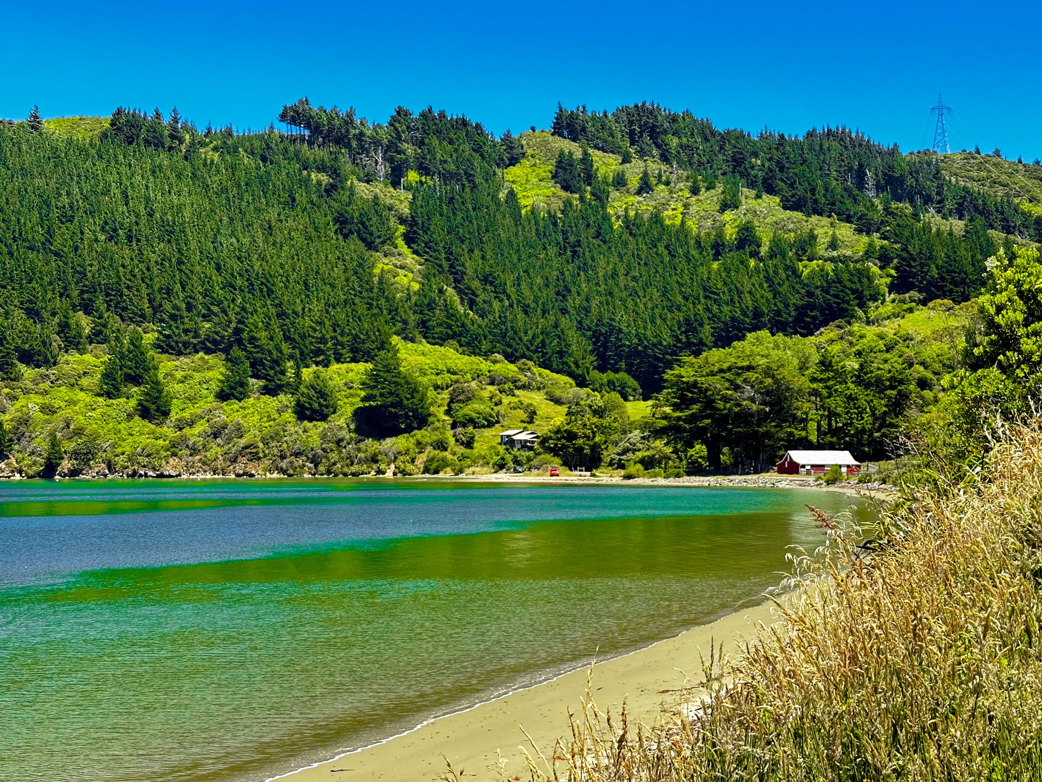
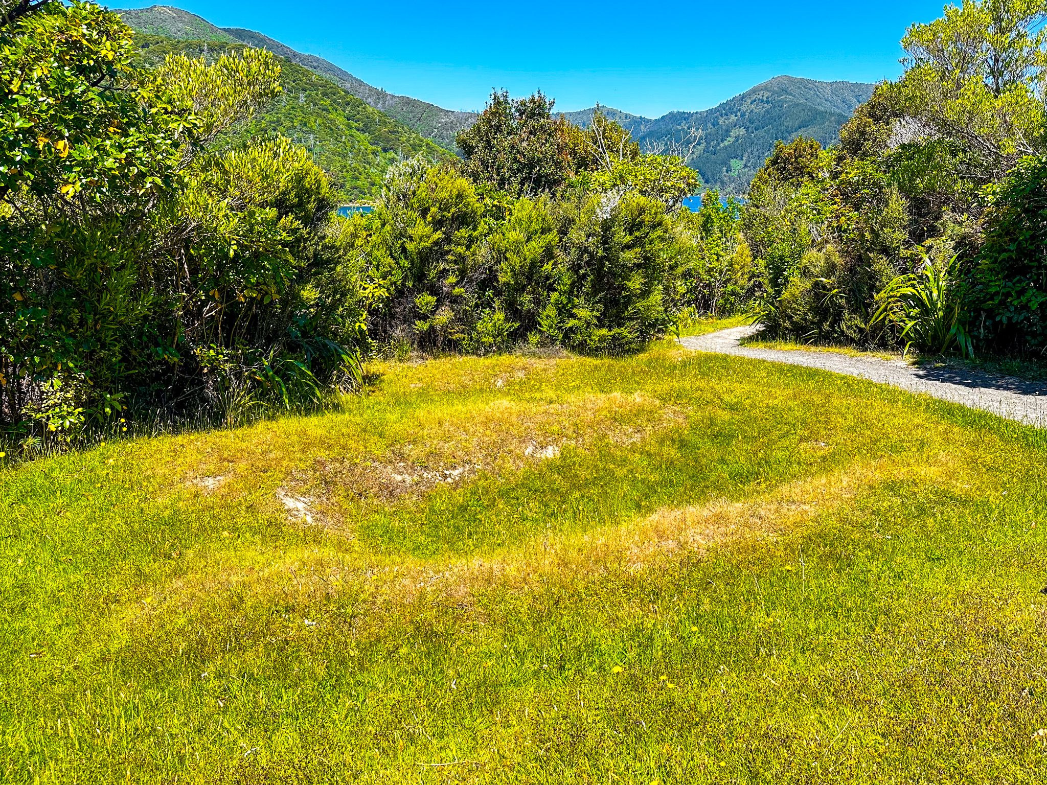
From Rarangi, the road quickly climbs to 300 metres above the coast, with a stunning view. Be patient; you will find somewhere safe to stop for the photo! It then drops down to the Pukatea / Whites Bay access road, the best of the beaches on this trip. From there, it winds north high above the coast of Cook Strait and Port Underwood, a large inlet off Cook Strait, with drops down to several small pretty bays. After 22 km, at Oyster Bay (the hamlet of Port Underwood on Google Maps), it heads west and climbs to a pass at 480 metres. The road winds along the ridge before dropping to Whatamango Bay, an inlet off Queen Charlotte Sound. From there, it follows the coast around Karaka Point to Waikawa Bay before ending in Picton.
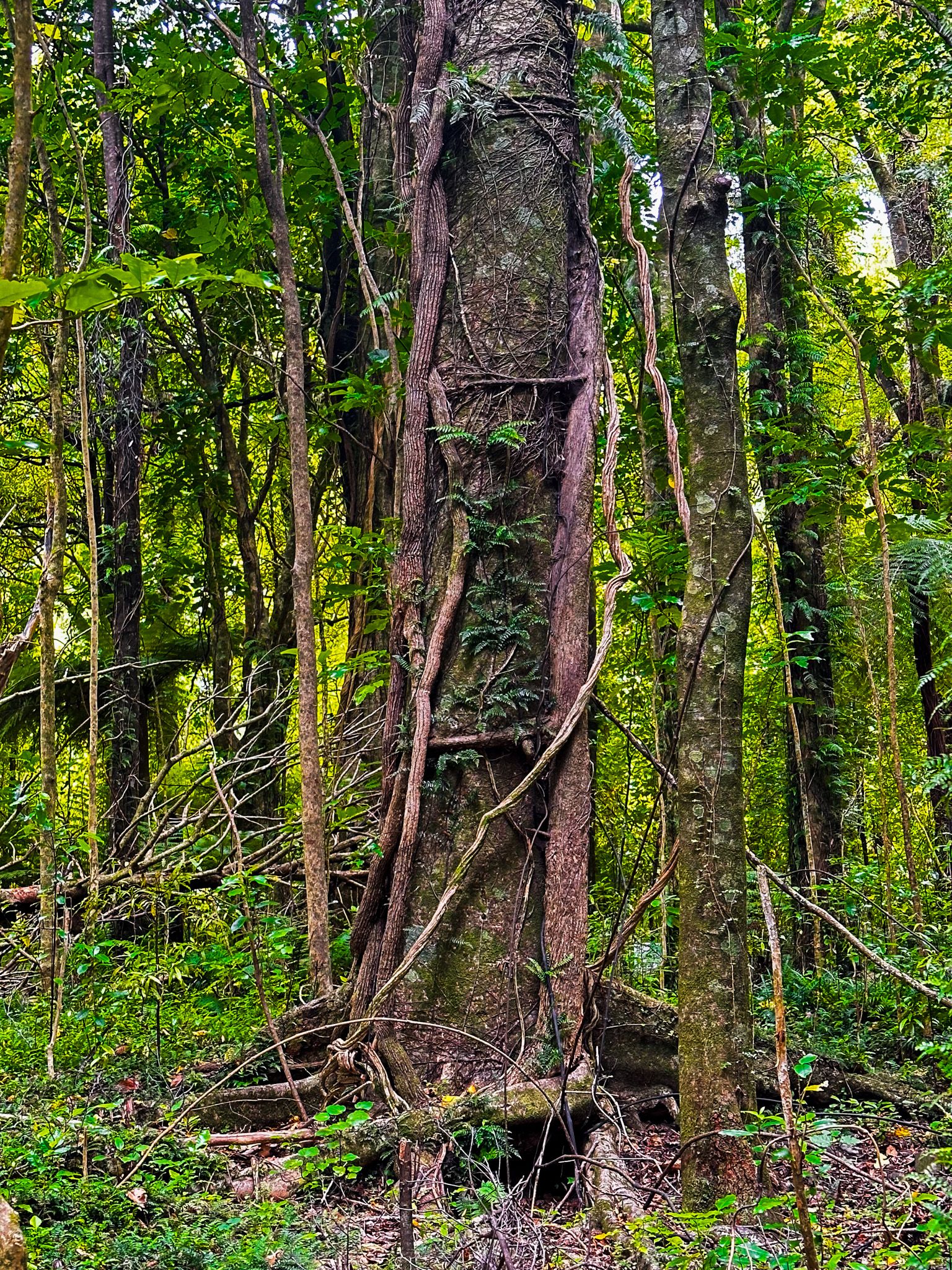
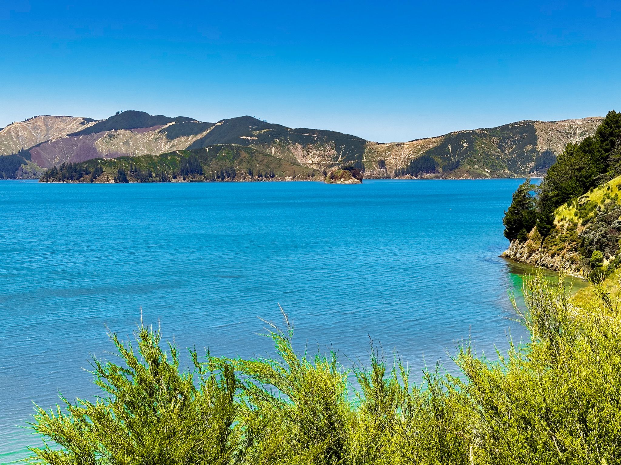
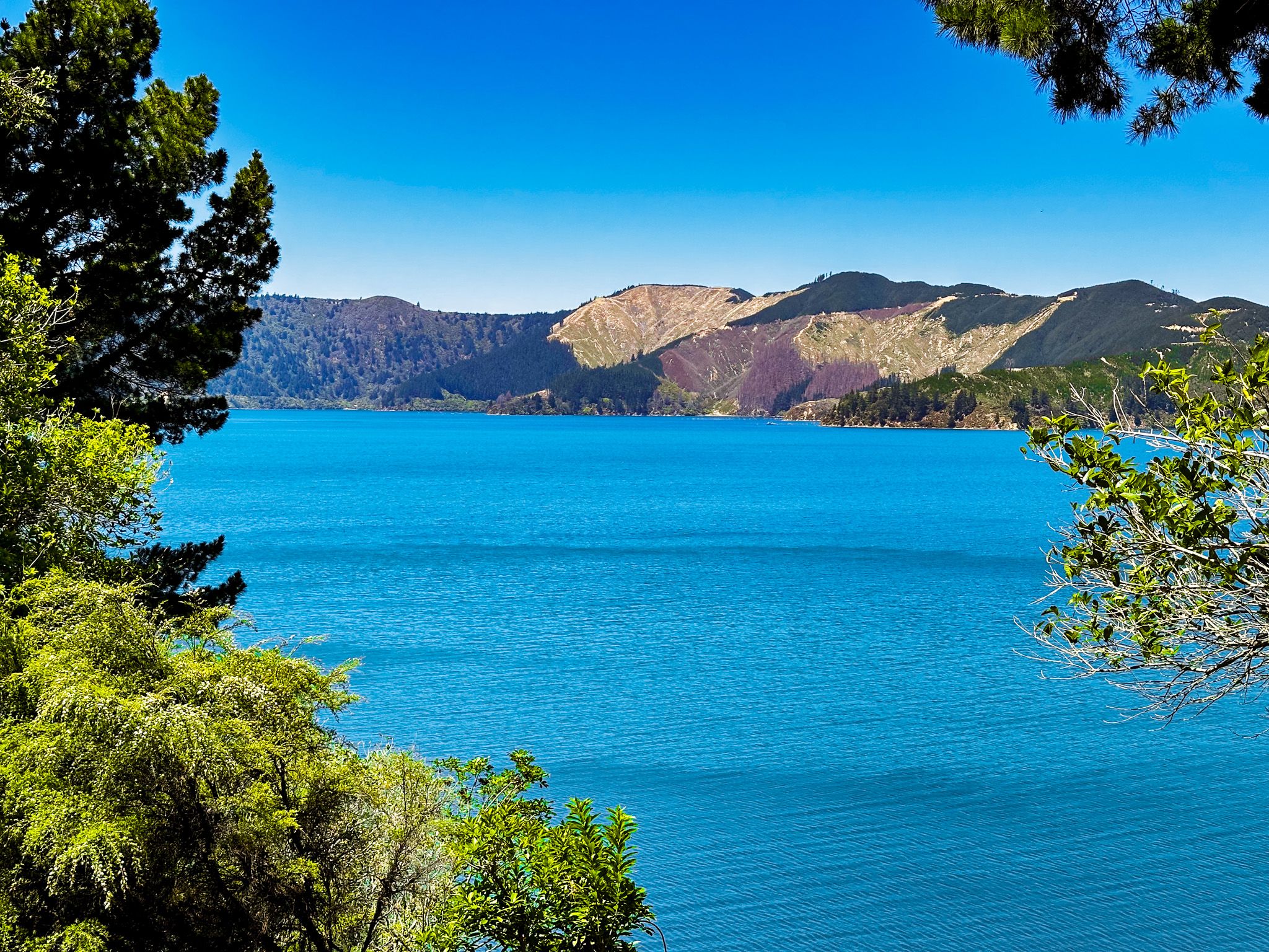
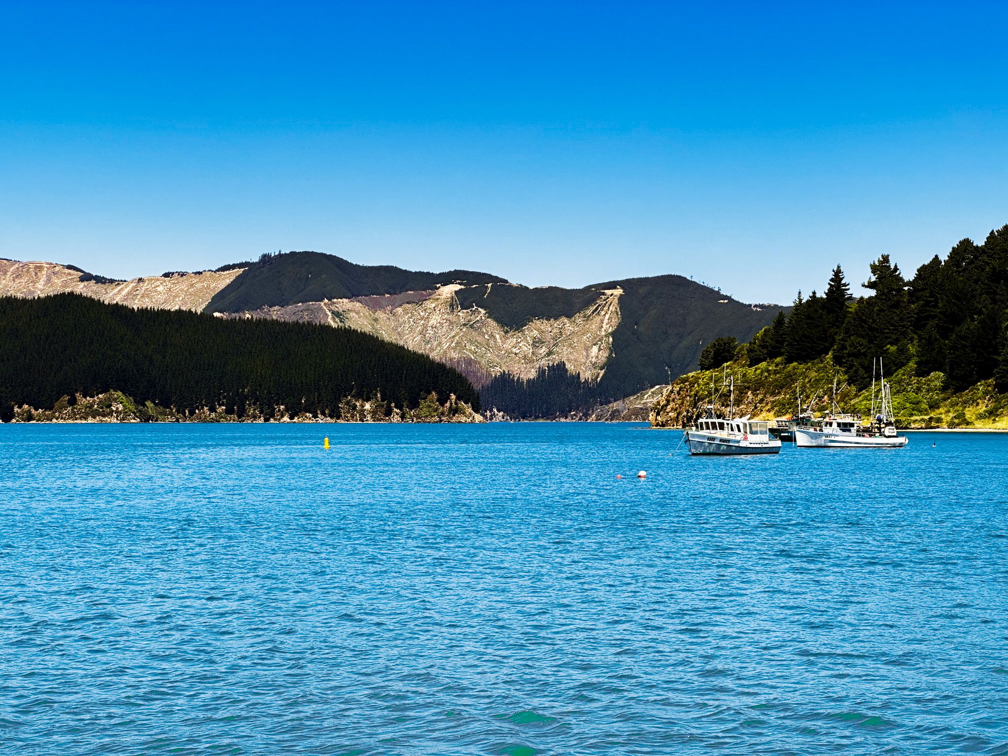
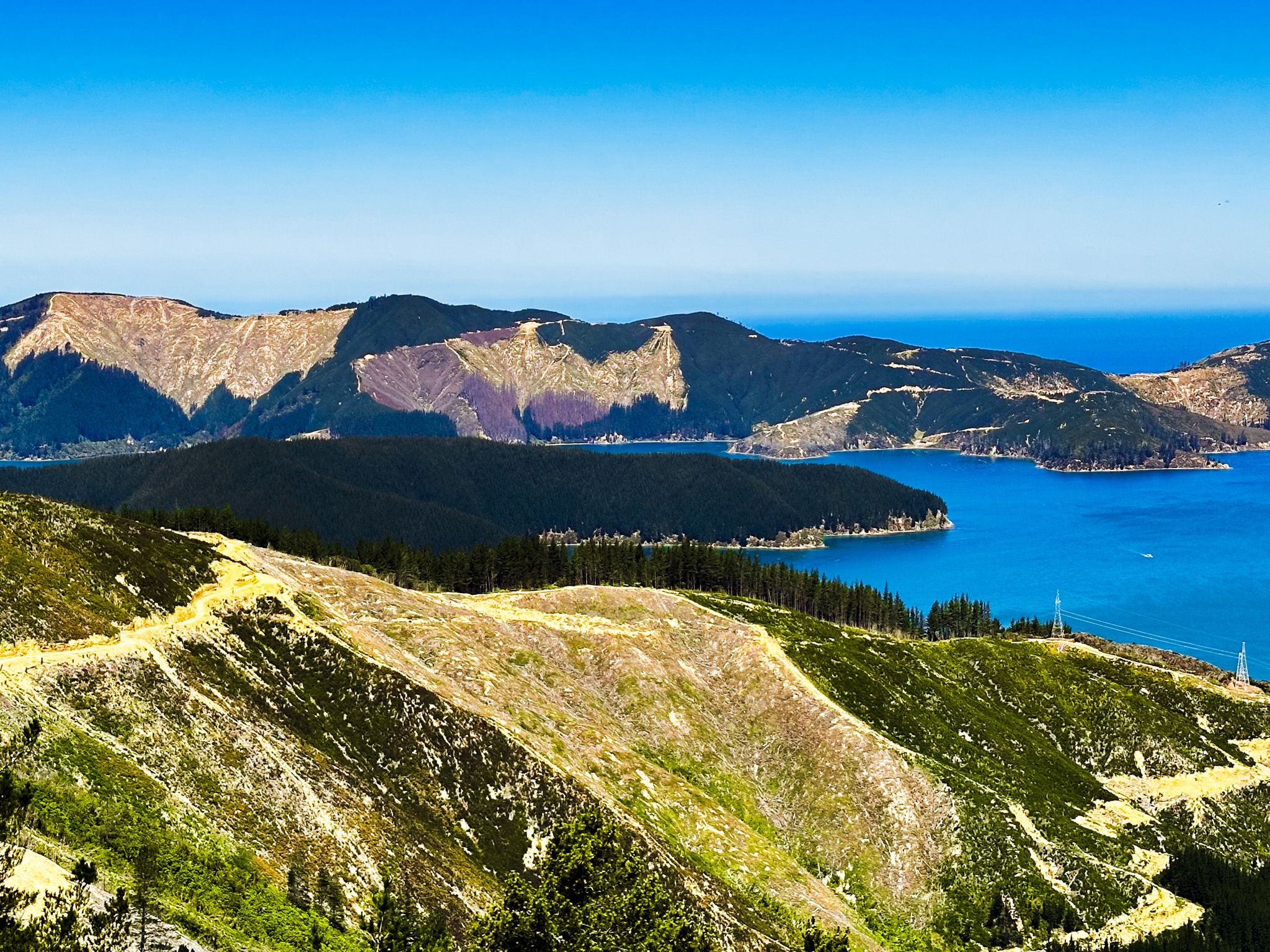
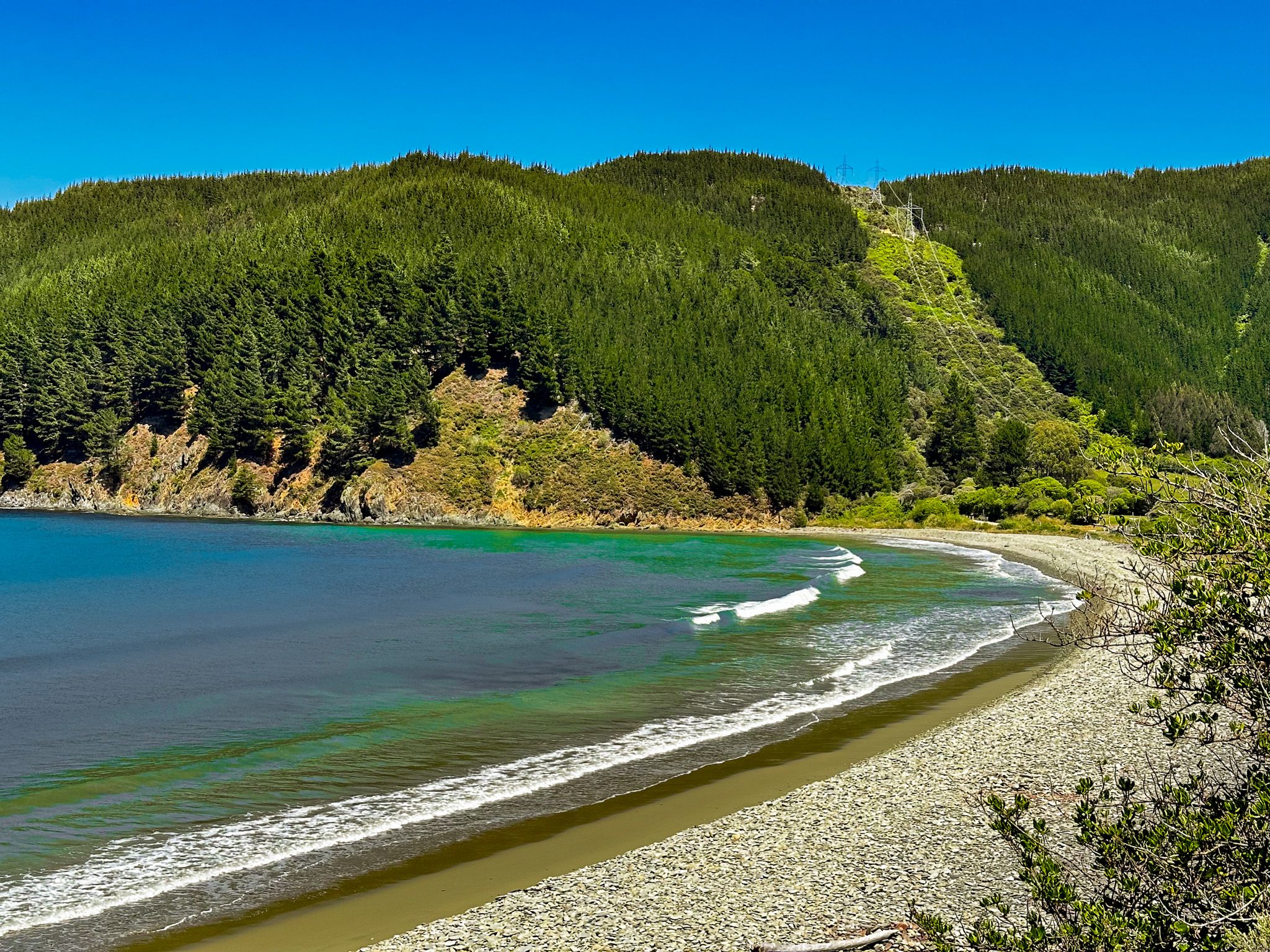
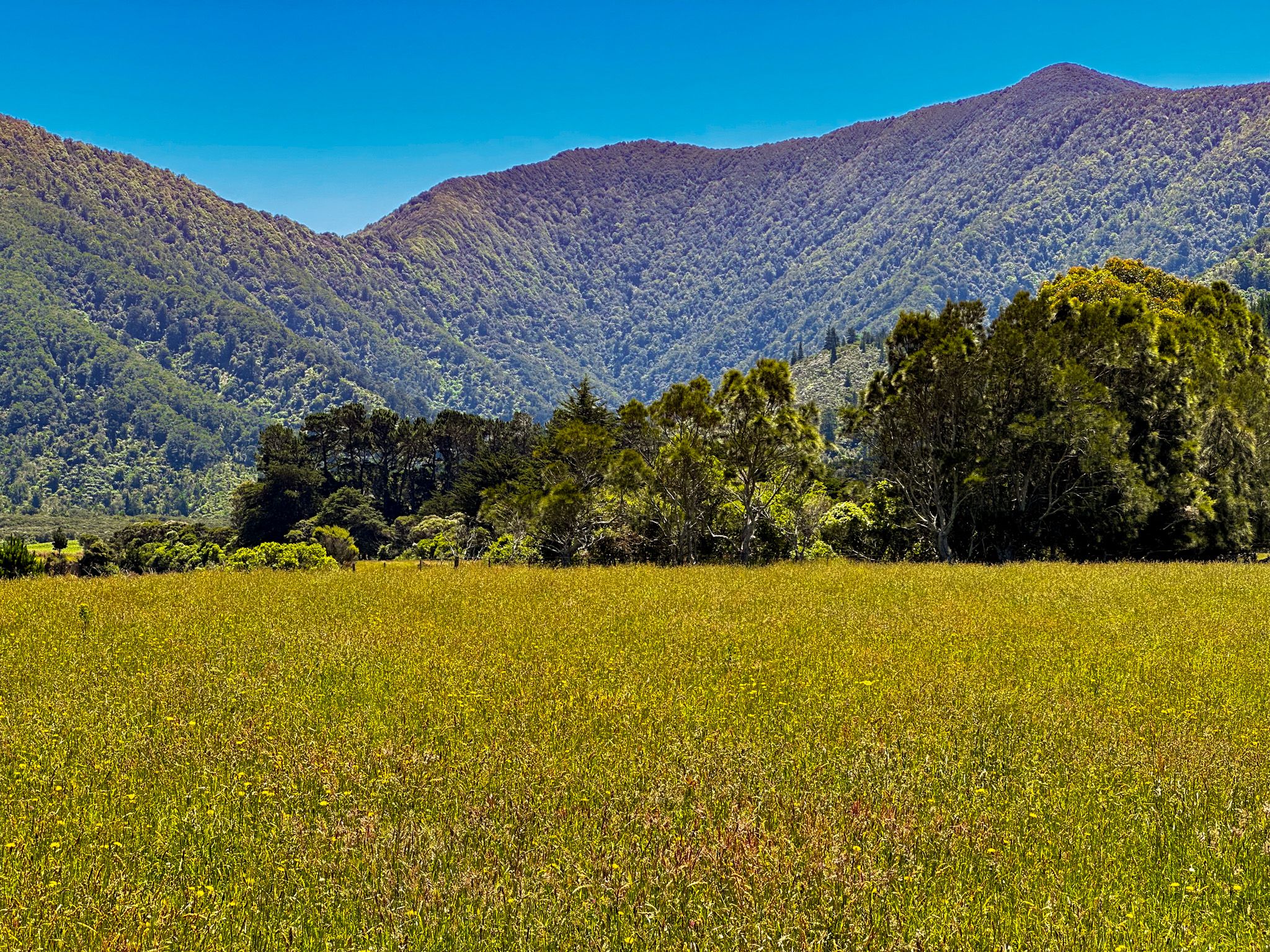
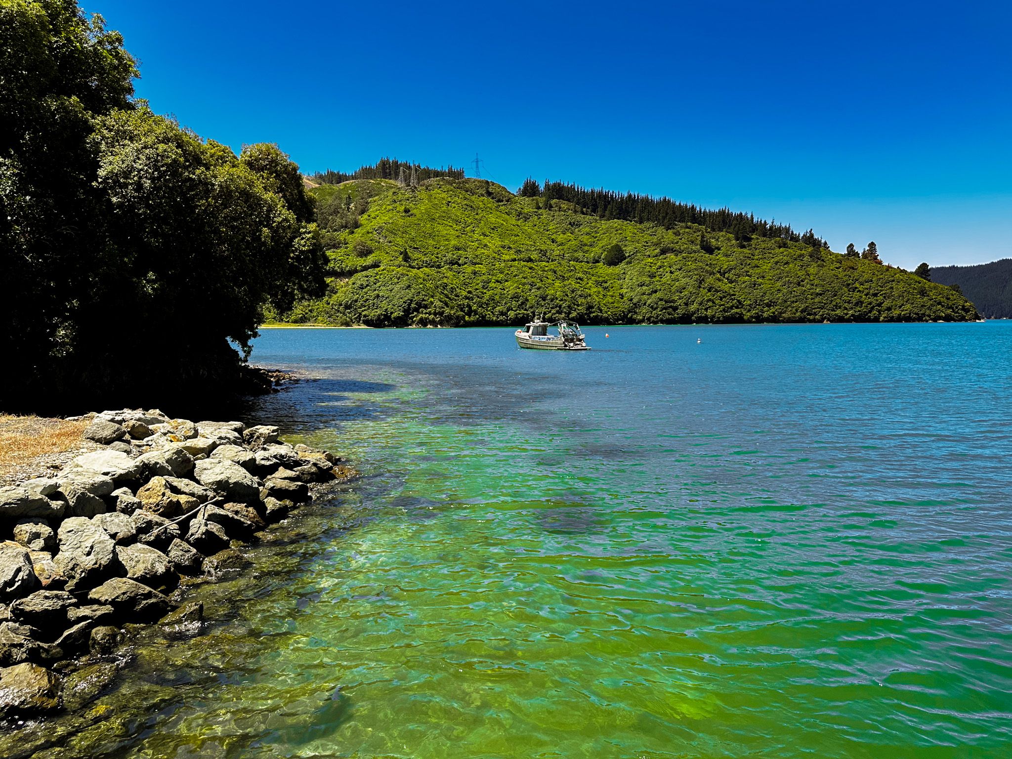
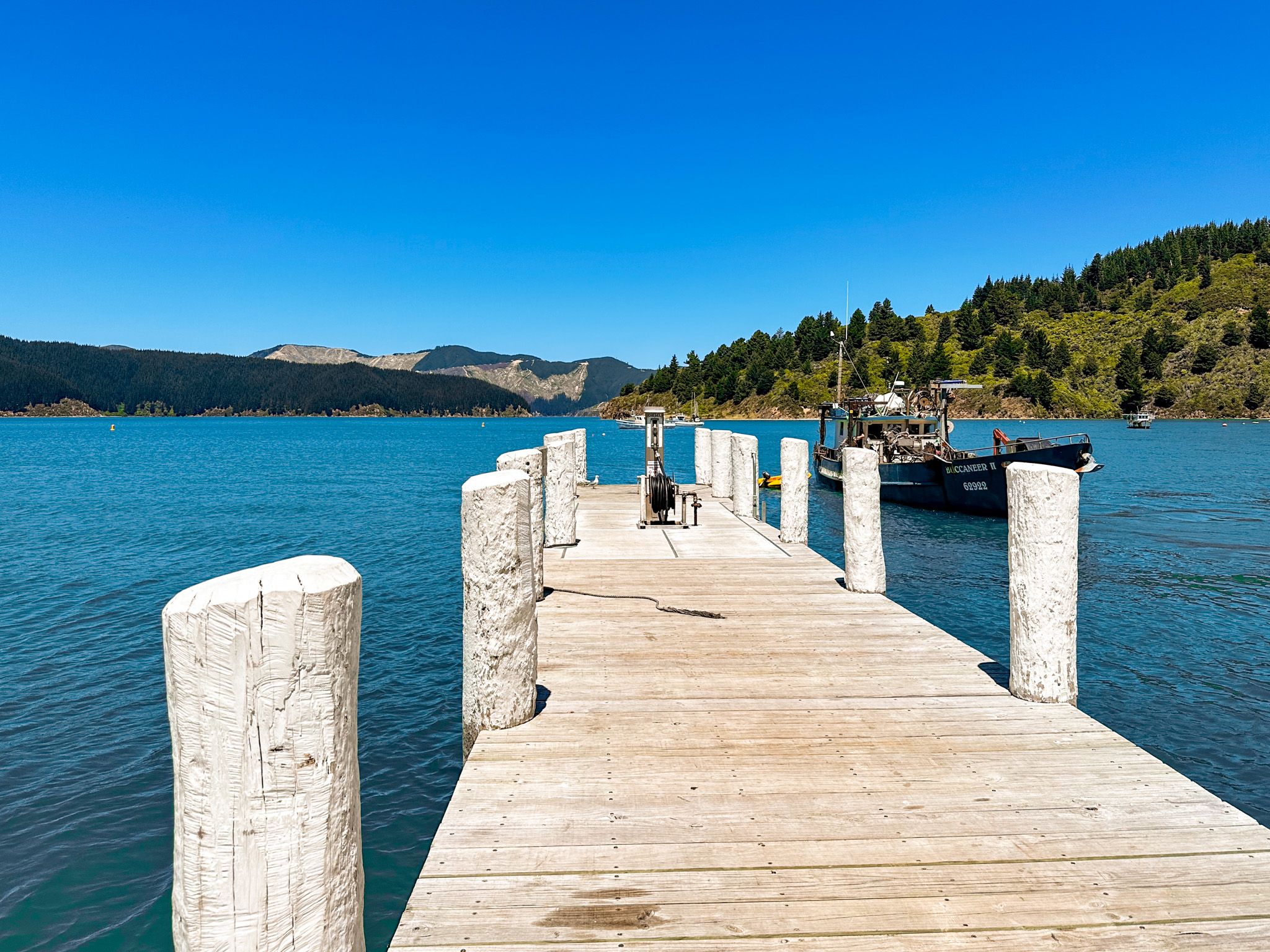
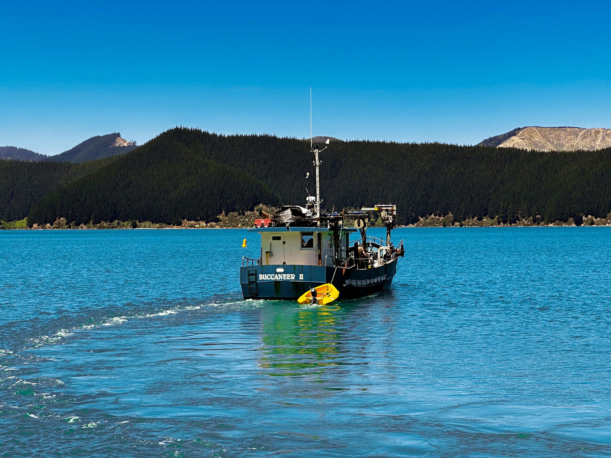
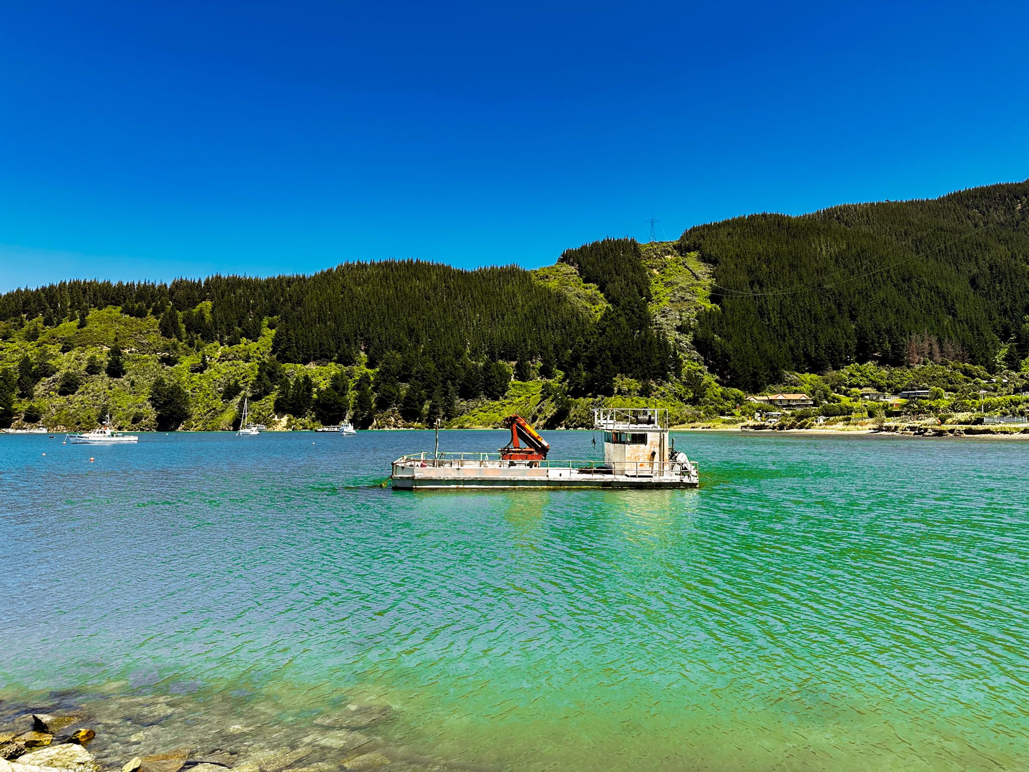
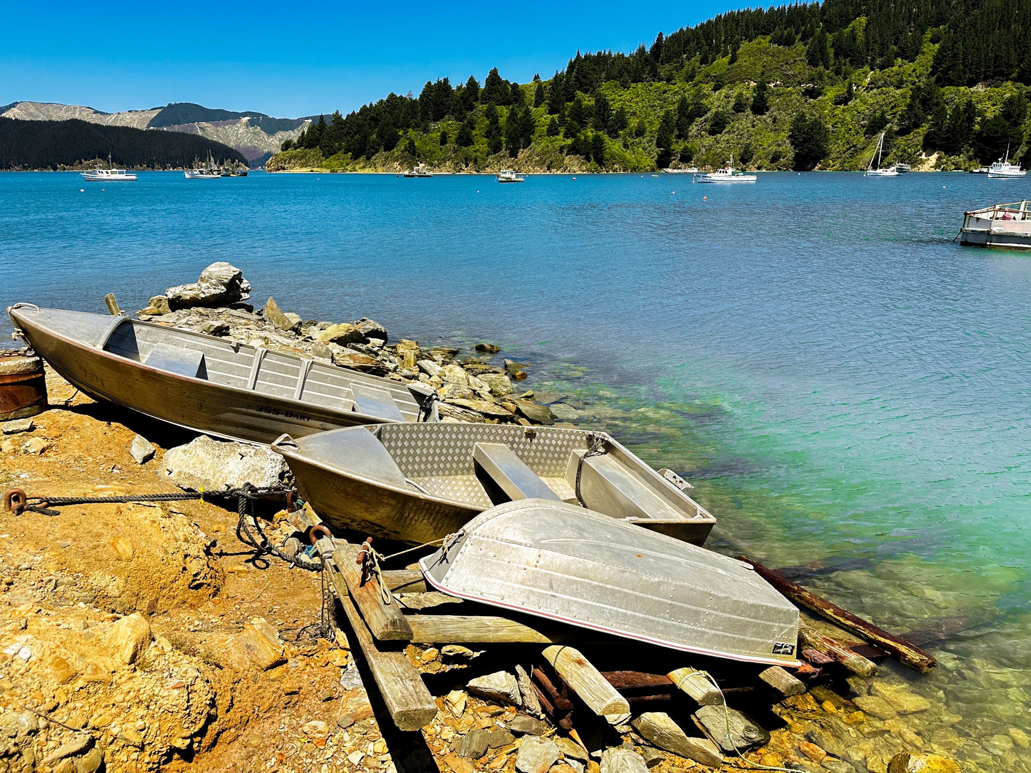
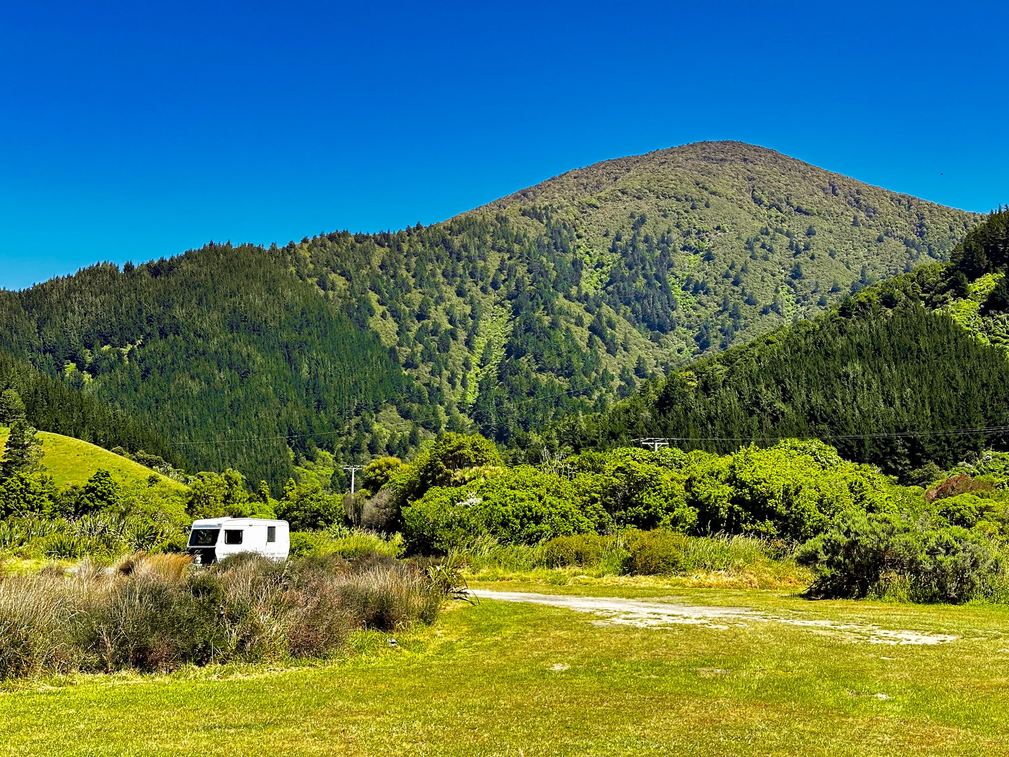
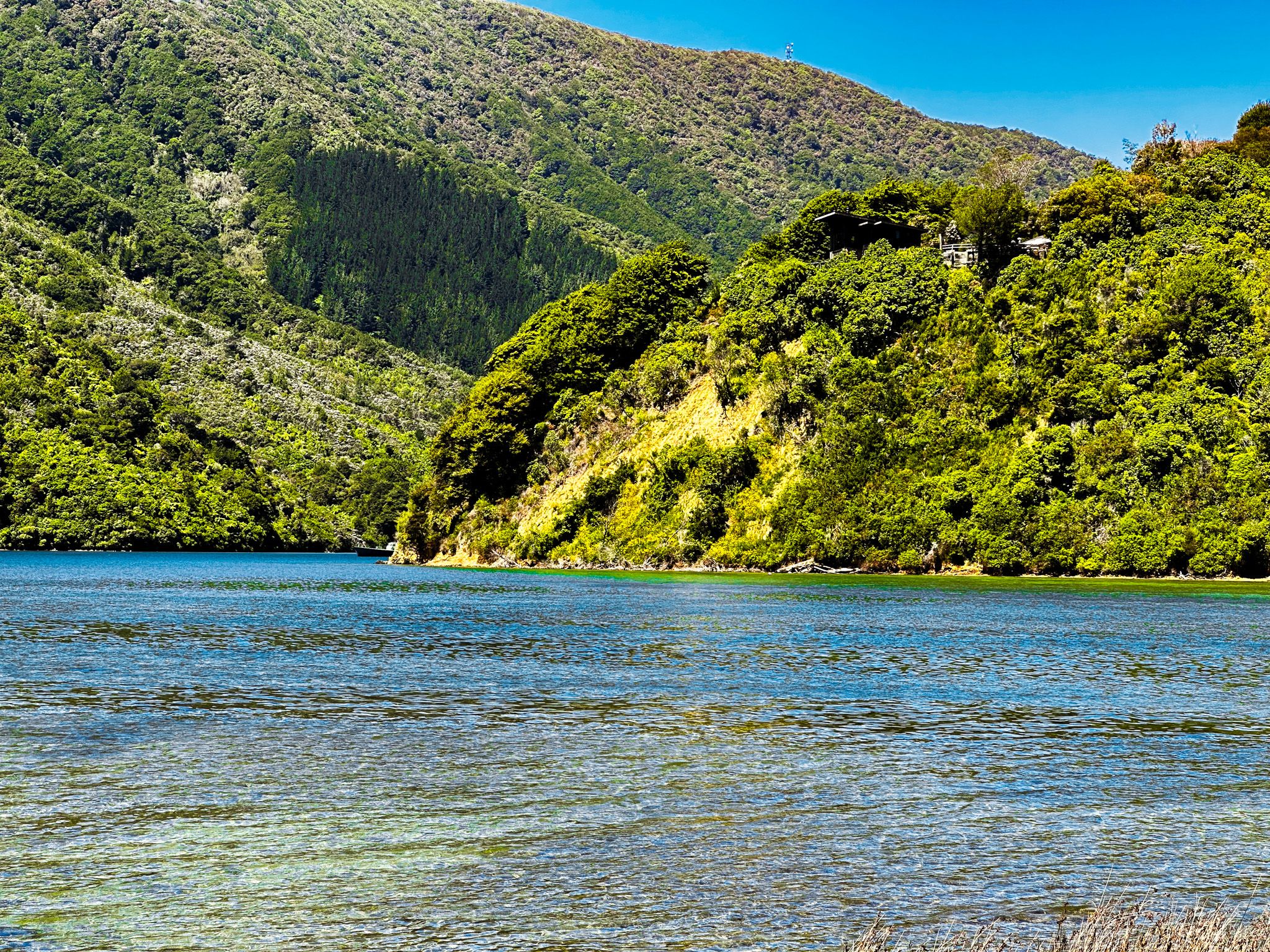
The first part of the drive from Rarangi is shrouded in native forest. This lies on the steep side of 1036 metre Tokomaru / Mount Robertson and the associated Robertson Range, with some clear farmland in the larger bays. As you approach Port Underwood, the large-scale commercial exotic forest is a feature. This effect is clearly observable on the north and east sides of Port Underwood and as you climb up to the pass above Oyster Bay. At Oyster Bay, you will also notice the commercial wharf and vessels supporting extensive mussel farming around the inlet. Although the road is generally quiet, take care as it is used by commercial vehicles, including logging trucks.
The road is sealed from Rarangi to Whites Bay, then mostly unsealed to Oyster Bay. From there to Picton, it is sealed. The metal section is the trickiest, very windy and sometimes narrow. Although the road is about 55 km long, it takes almost 2 hours of drive time. Stops for a walk, picnic and swim turn it into a day trip.
If you have time, you can also drive an extra 40 km return on windy metal Tumbledown Bay Road to the east and more commercially affected side of Port Underwood. However, several more pretty, isolated bays and beaches are along the way.

Whanganui / Port Underwood
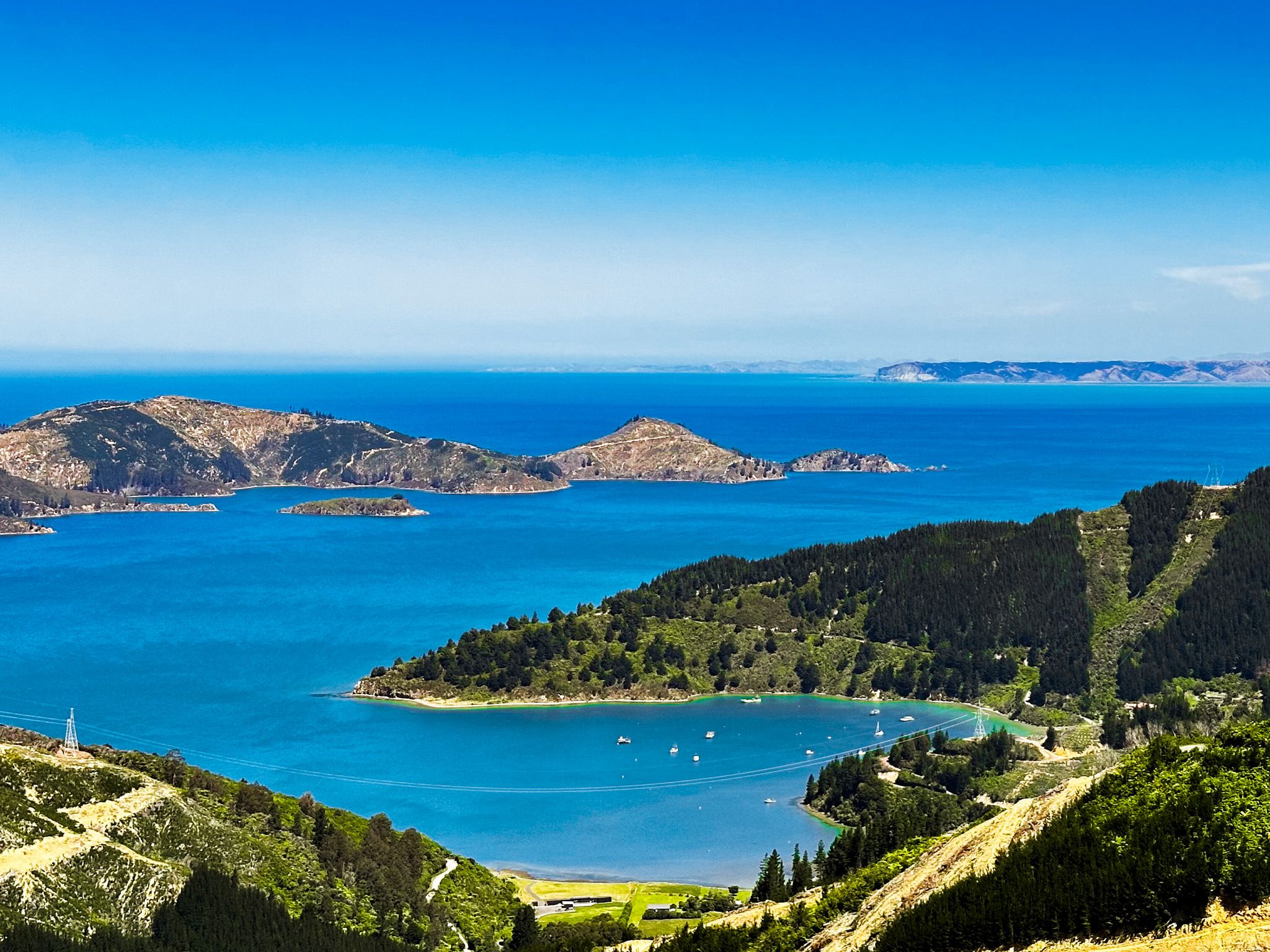
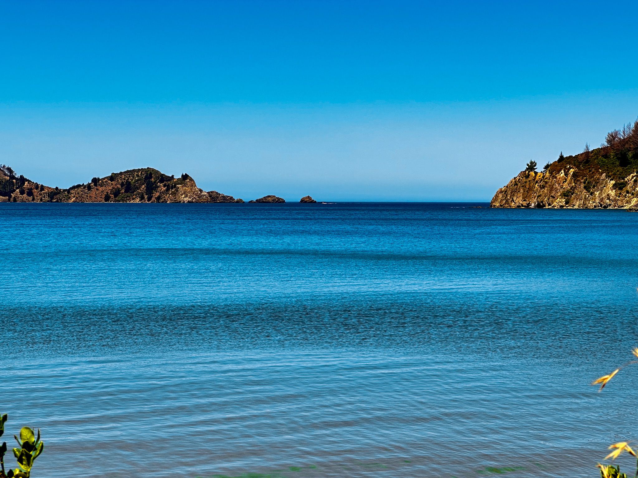
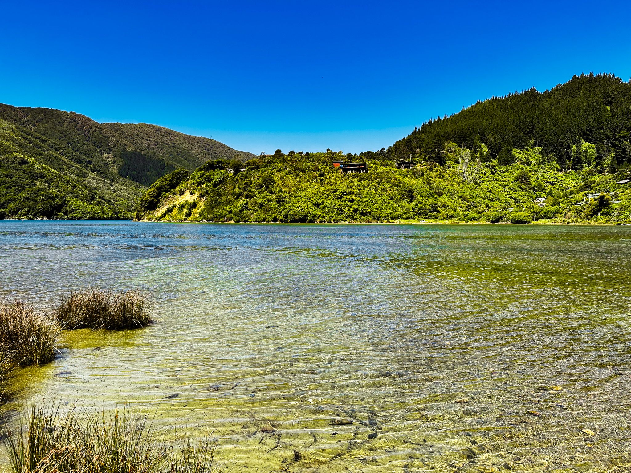
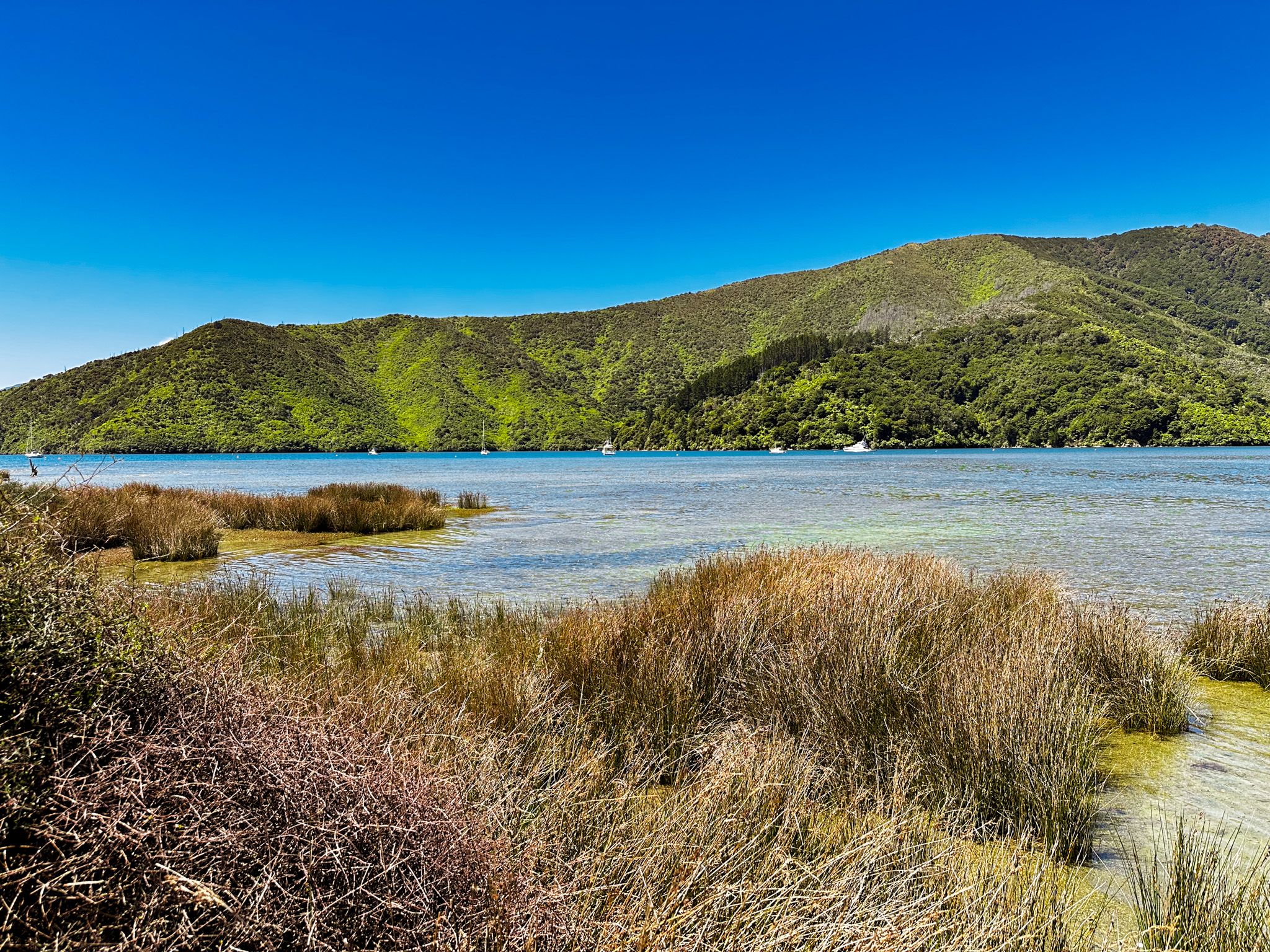
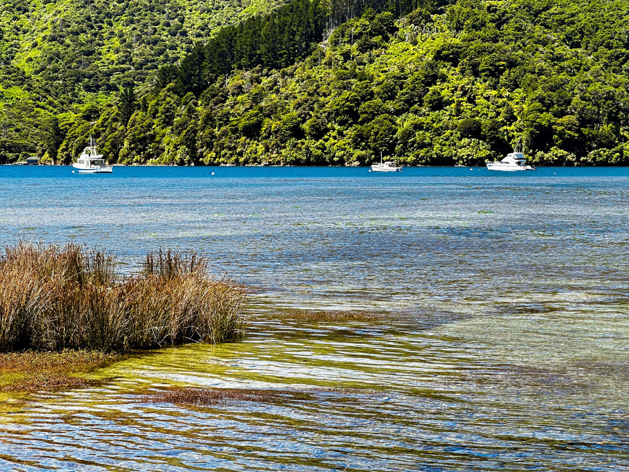
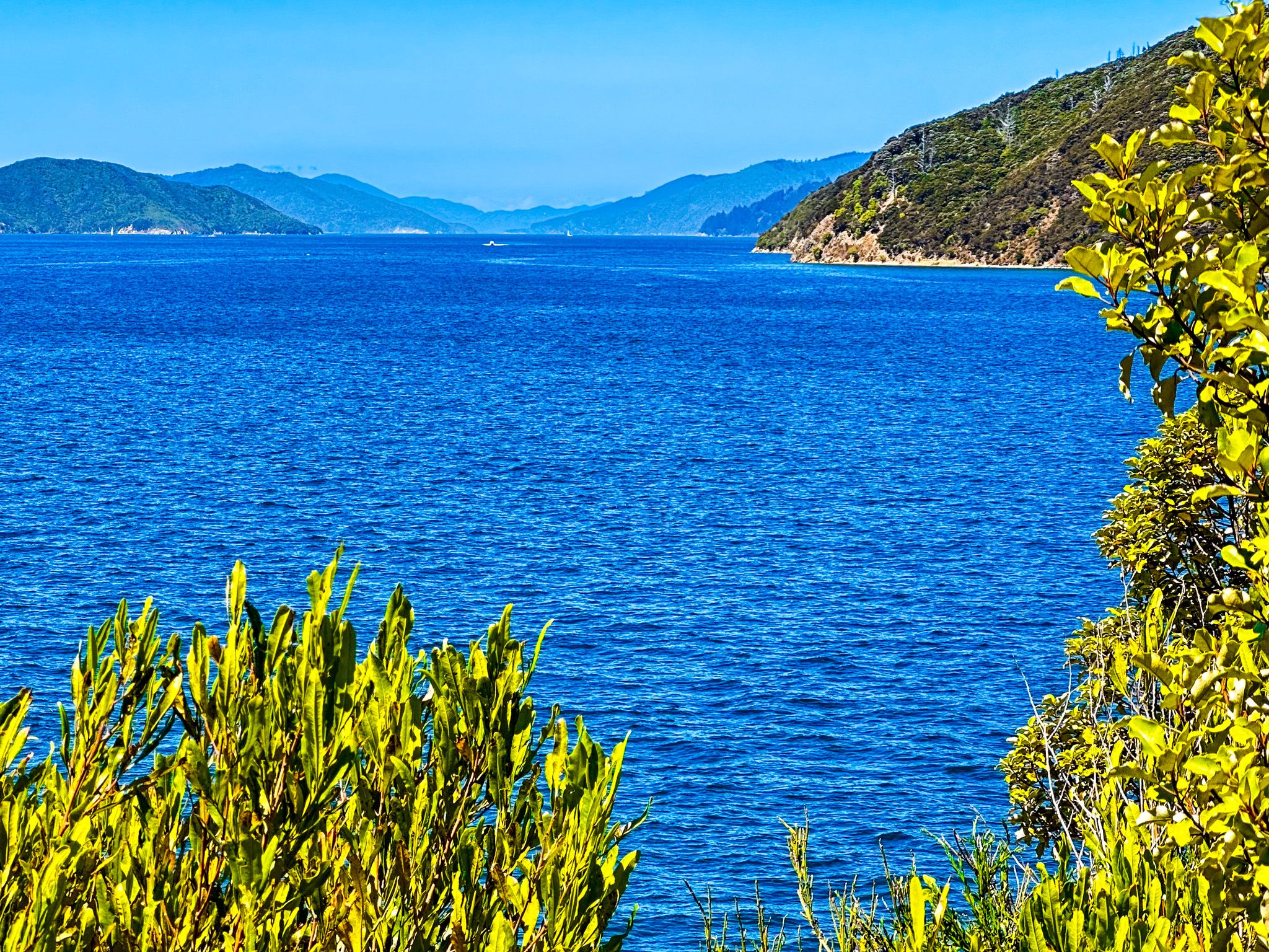
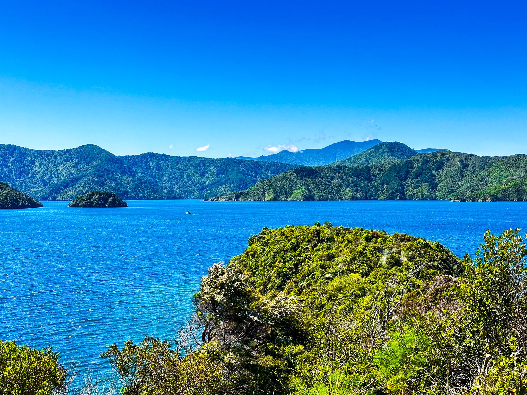
Whanganui / Port Underwood is a large sheltered inlet off Cook Strait that marks the southeast side of the Marlborough Sounds. The European name was for Joseph Underwood of the shipping firm Kabel and Underwood, although his specific connection with the place seems unclear. The Māori name was restored with the Treaty of Waitangi settlement of 2014, resulting in widespread restoration of Maori names around Marlborough.
There was a long history of Māori occupation in Port Underwood before Europeans. But in the 1820s, the local Rangitane iwi was defeated by Te Rauparaha as part of his invasion of the South Island during the Musket Wars. Te Rauparaha also had an eye for commercial opportunities with early Europeans, and sealers and whalers were there by 1826.
John Guard, one of the first Europeans to father a European child in the South Island, set up a whaling station at Kakapo Bay in 1828. Port Underwood was especially rich in southern right whales, and by 1840, there were several whaling stations around the inlet and 150 Europeans. This may have been the largest group of Europeans in the South Island. Whaling was intense, with multiple boats competing to catch the same whale. Not long after that, the NZ whaling industry largely collapsed, and eventually, whales became functionally extinct in the inlet.
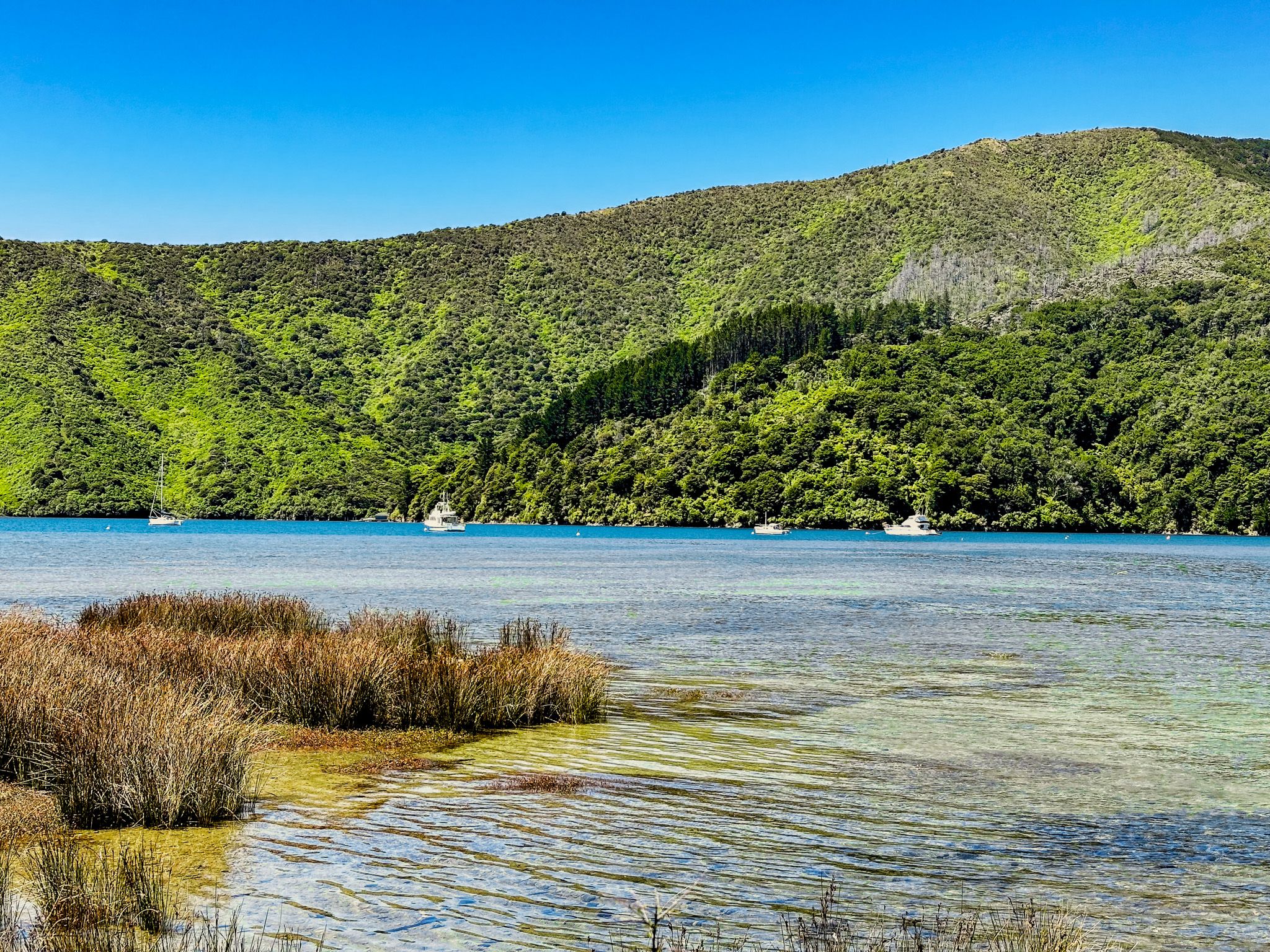
However, Port Underwood has continued to be an area of quite intense commercial use. Much of it is covered in commercial exotic pine forests, the effects of which include a denuded landscape as trees are harvested. Many east-side bays have mussel farms supported by boats based at the Oyster Bay wharf. Still, Port Underwood contrasts sharply with other parts of the sounds that were either lightly touched or are being ecologically restored.
Despite its modern remoteness, Port Underwood also had an important moment of fame. On 16 June 1840, HMS Herald arrived with a copy of the Treaty of Waitangi. Māori chiefs signed it on small Horahora-Kākahu Island, which, at the time, was an important fortified pā site. A macrocarpa tree was planted in 1900, and a bronze plaque was laid down in October 1964 to mark the occasion. Today, it is back under the control of local Māori and is subject to ecological restoration. You can just pick out the island from Tom Canes Bay, off Port Underwood Road, or visit it by boat.
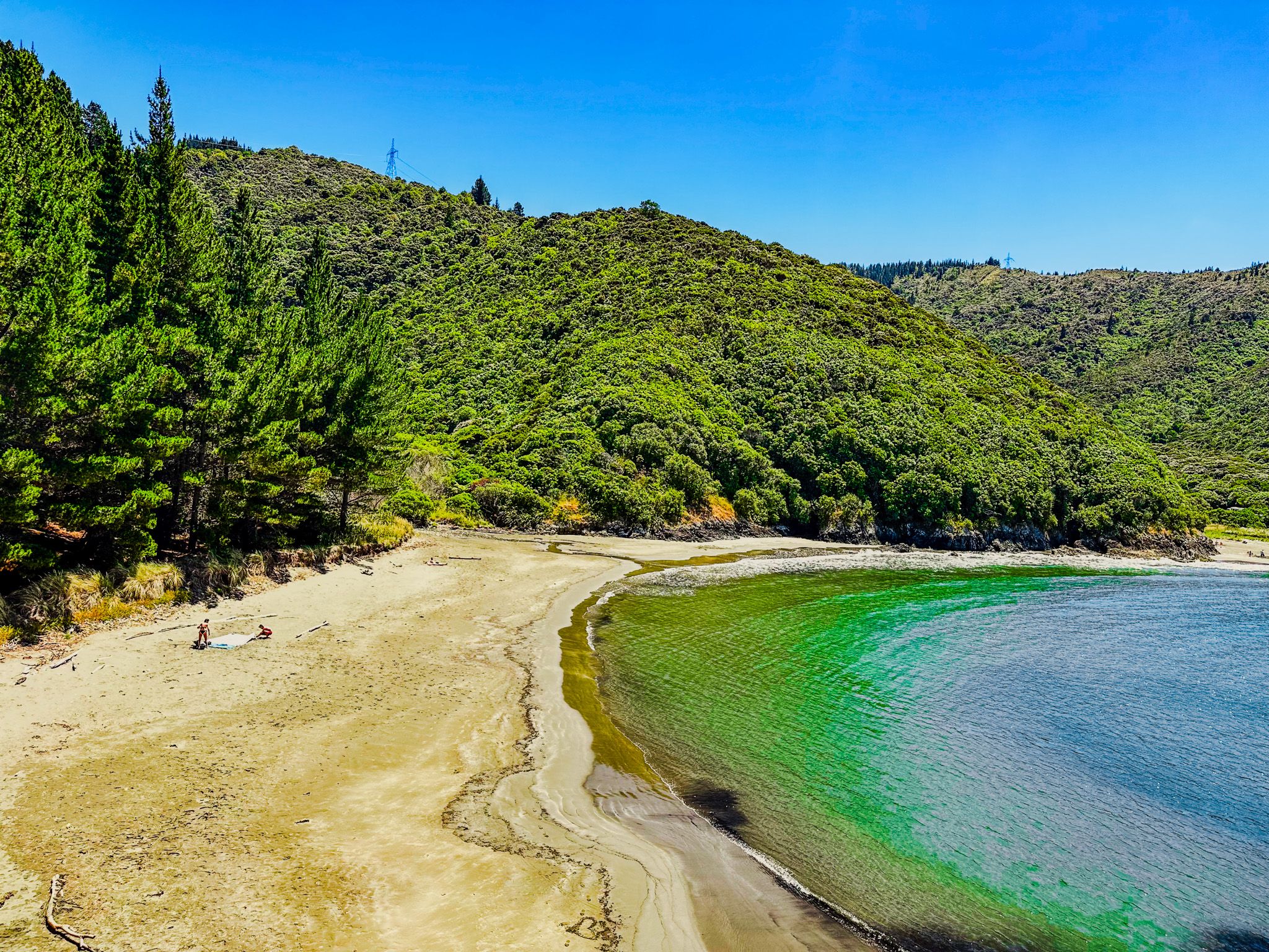
Pukatea / Whites Bay
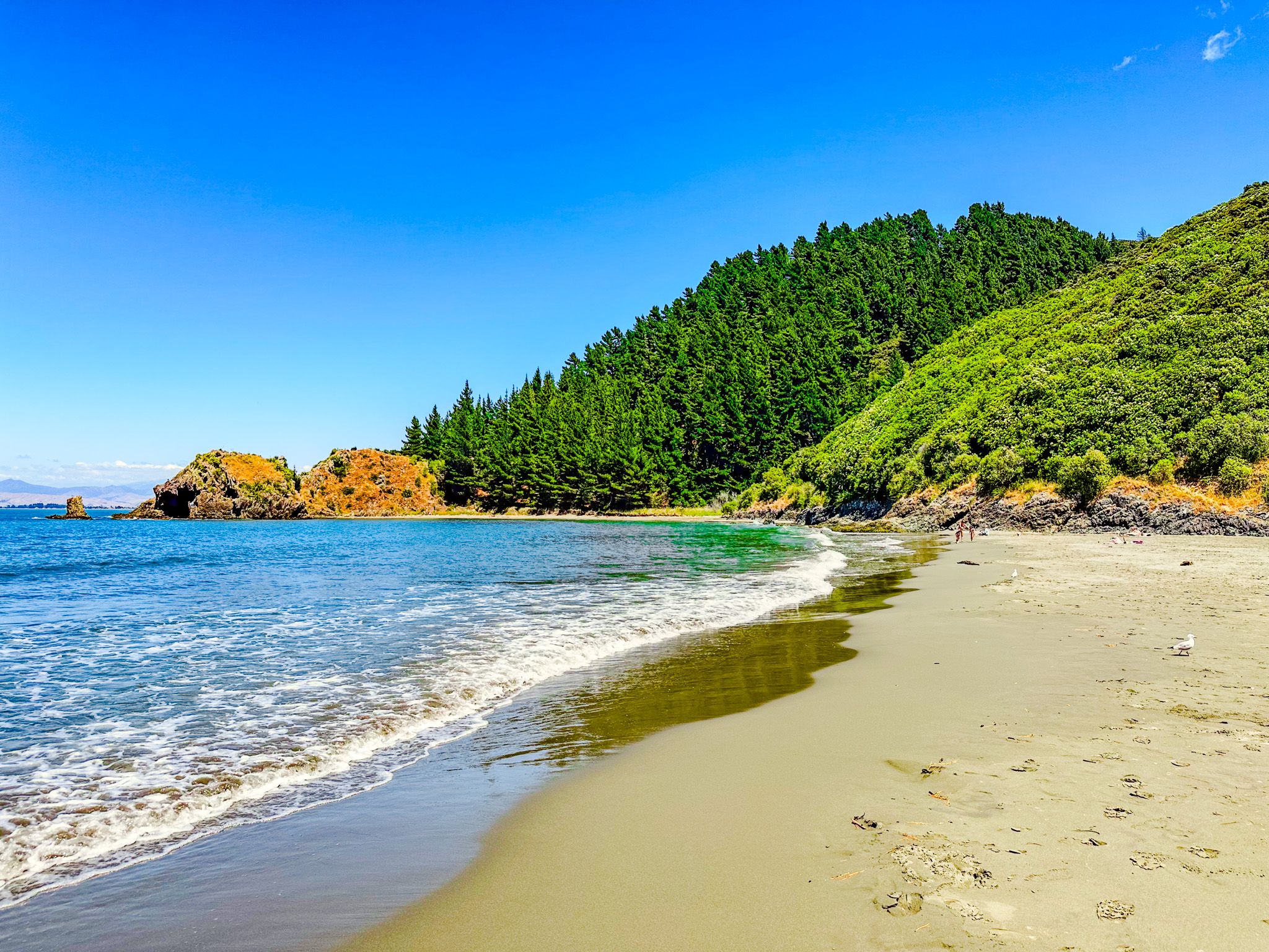
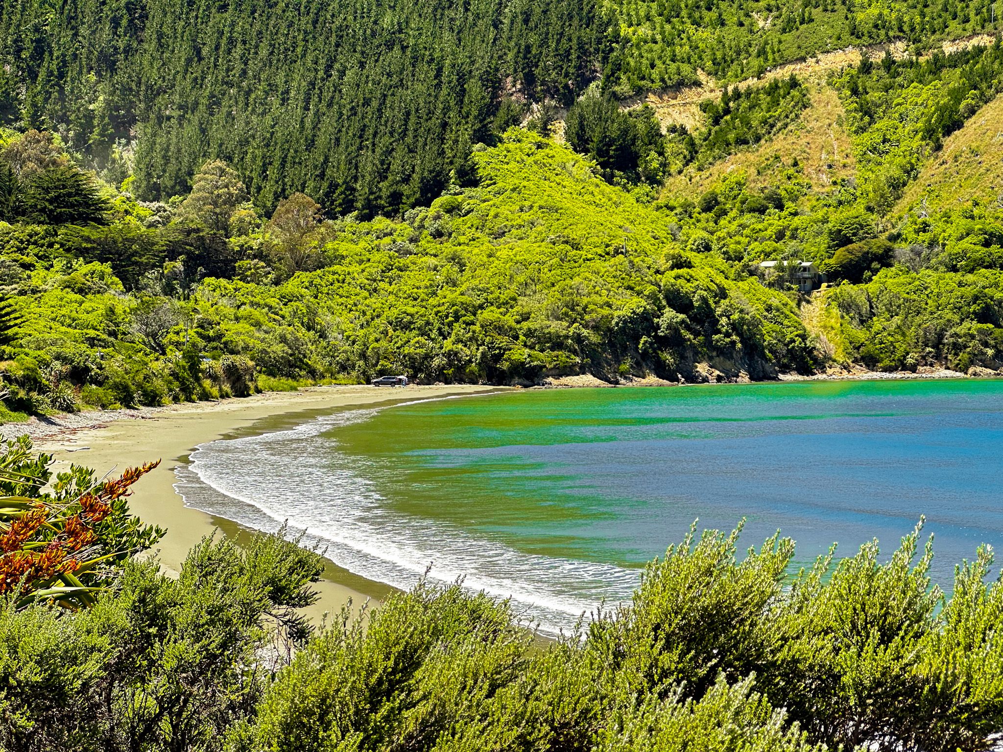
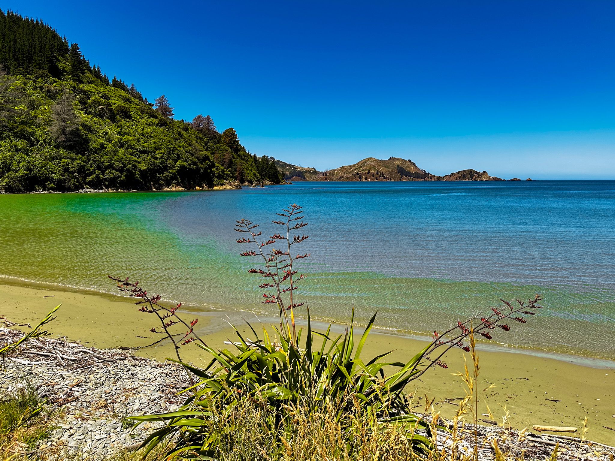
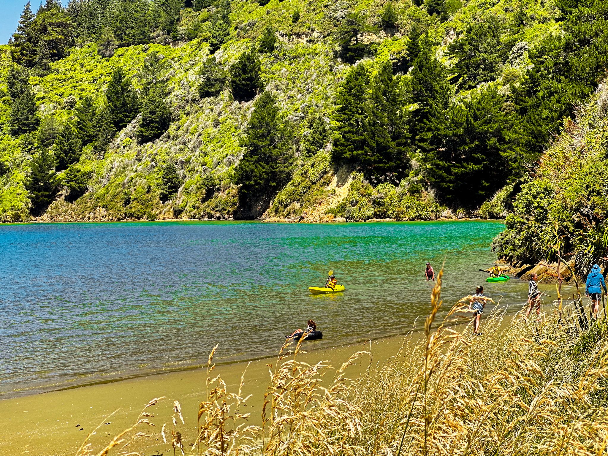
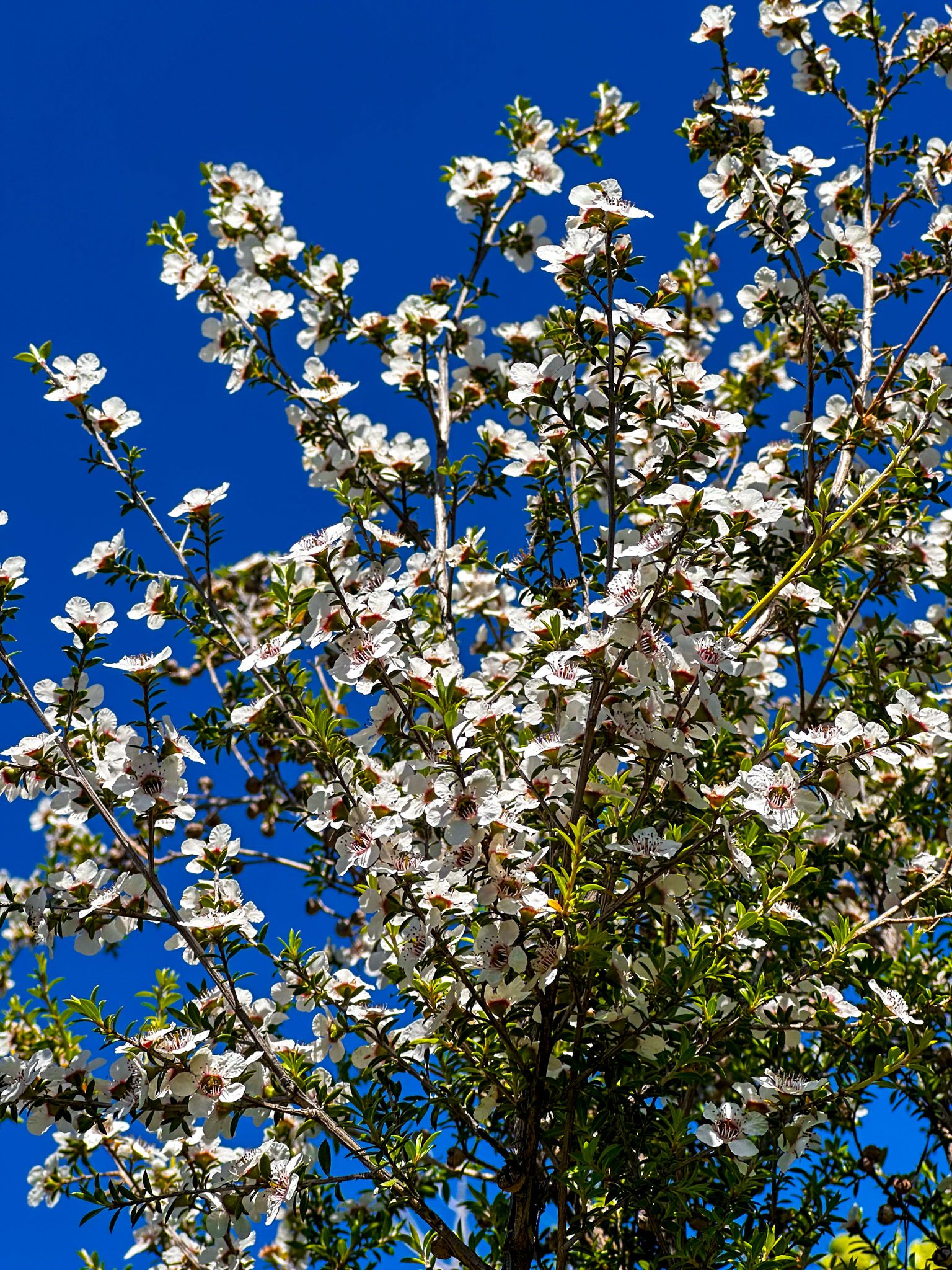
Pukatea / Whites Bay is an attractive sheltered bay and the best beach on Port Underwood Road. It is also the best swimming beach in the region, making it popular with locals. The beach is an 8 km spectacular drive from Rarangi along Port Underwood Road. Access to the beach and campsite is signposted on the road.
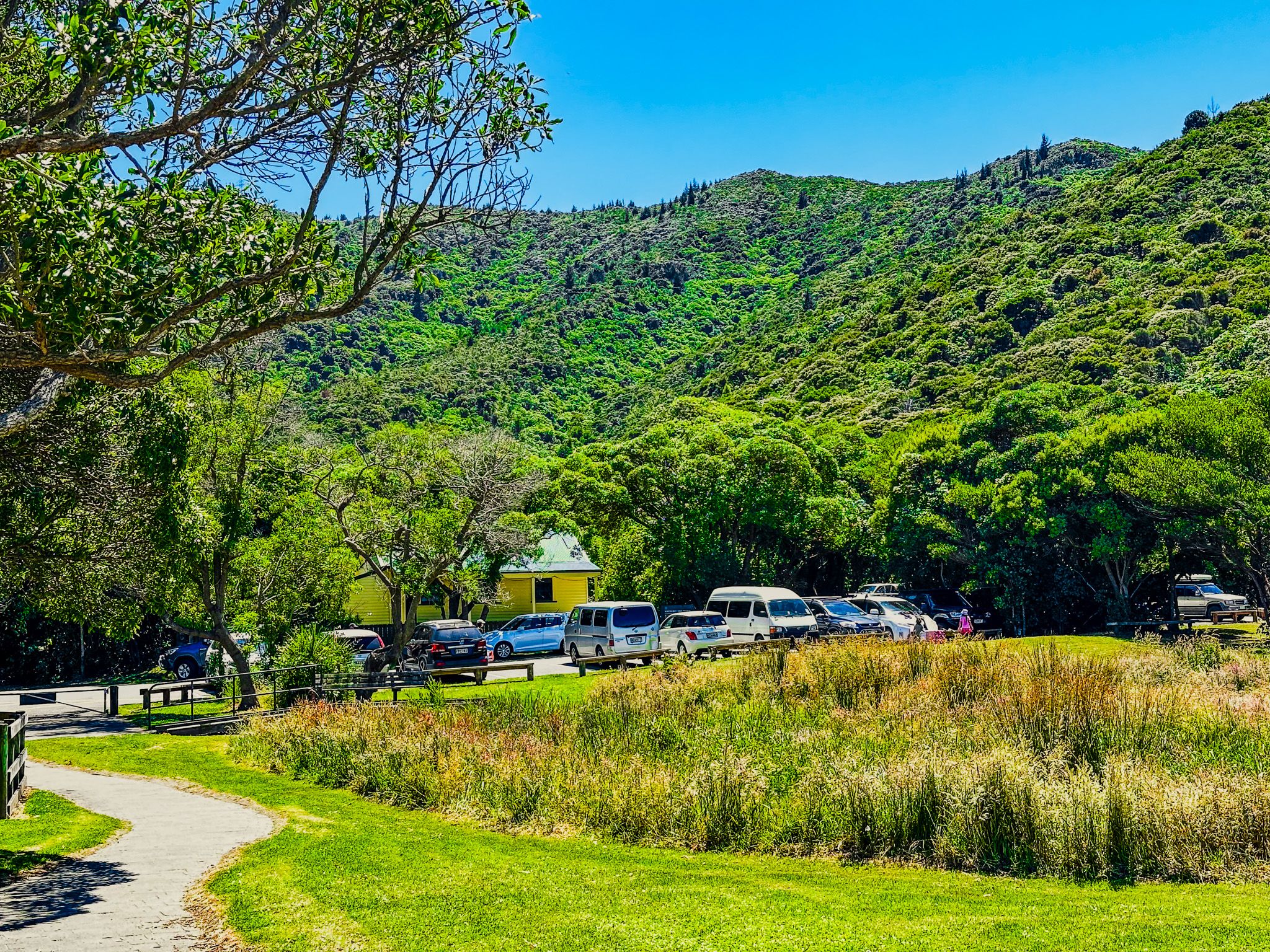
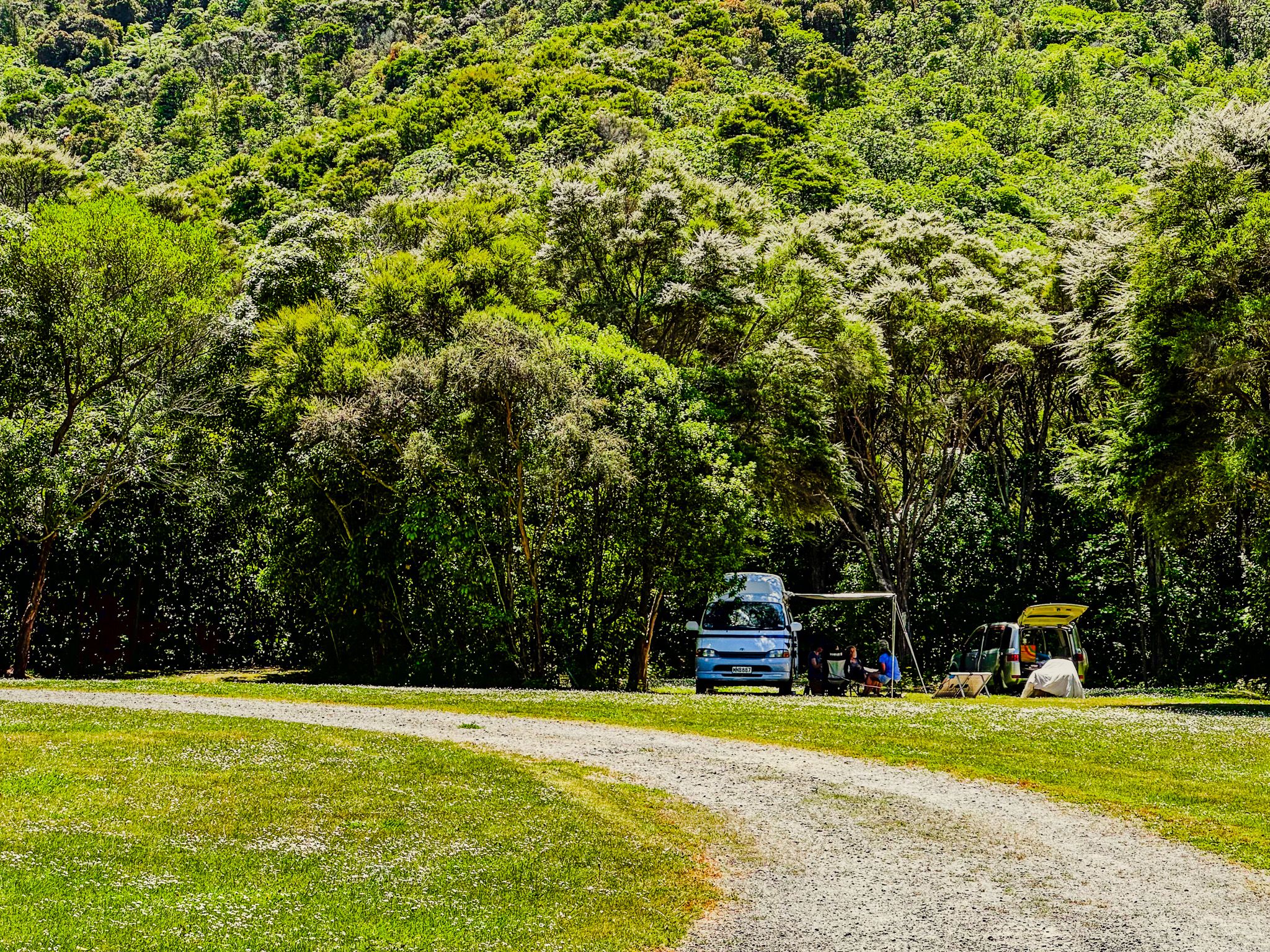
The main DOC camping area is on your left as you drive along the access road. It is set amongst regenerating forests on steep-sided hills and is one of the prettiest campsites in the region. Continue to the car park at the end of the road if you are a day visitor. It is a short walk to the sandy, safe swimming beach. To the right is a point you can scramble up with some care.
The bay was named for an American known as Black Jack White. Jack deserted his whaling ship in 1828 to live with local Māori. In 1866, the bay was the connection point for a north-south telegraph cable. It is a short walk to the historic cable station.
There are several other sign-posted walking options from the bay. This includes the Black Jack Track, which can be done as a loop to the north, with outstanding views (90 minutes) and a 1-hour walk to Rarangi, which includes a 500-metre section on the most spectacular part of Port Underwood Road.
You can also take the Black Jack Track up to Port Underwood Road, then cross the road to join the Mount Robertson Loop Track. This is a full-day trip with a side track to the 1,036-metre peak of Tokomaru / Mount Roberston. You can also start these tracks from Port Underwood Road or the Pukaka Valley at the end of Pukaka Road, reducing the climb by 200 metres and the time by a couple of hours. The Mount Robertson tracks are shared with mountain bikers.
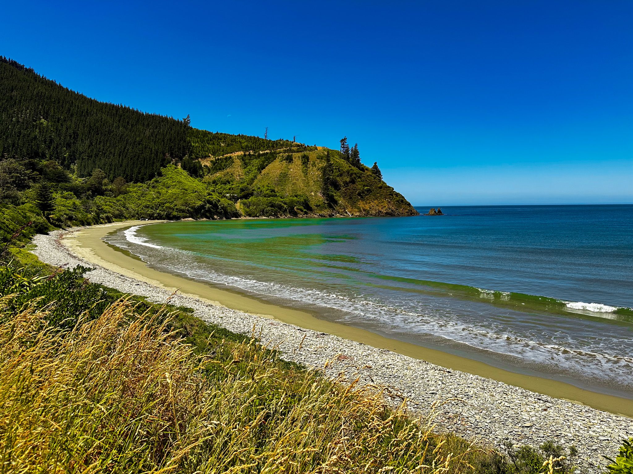
Waikutakuta / Robin Hood Bay
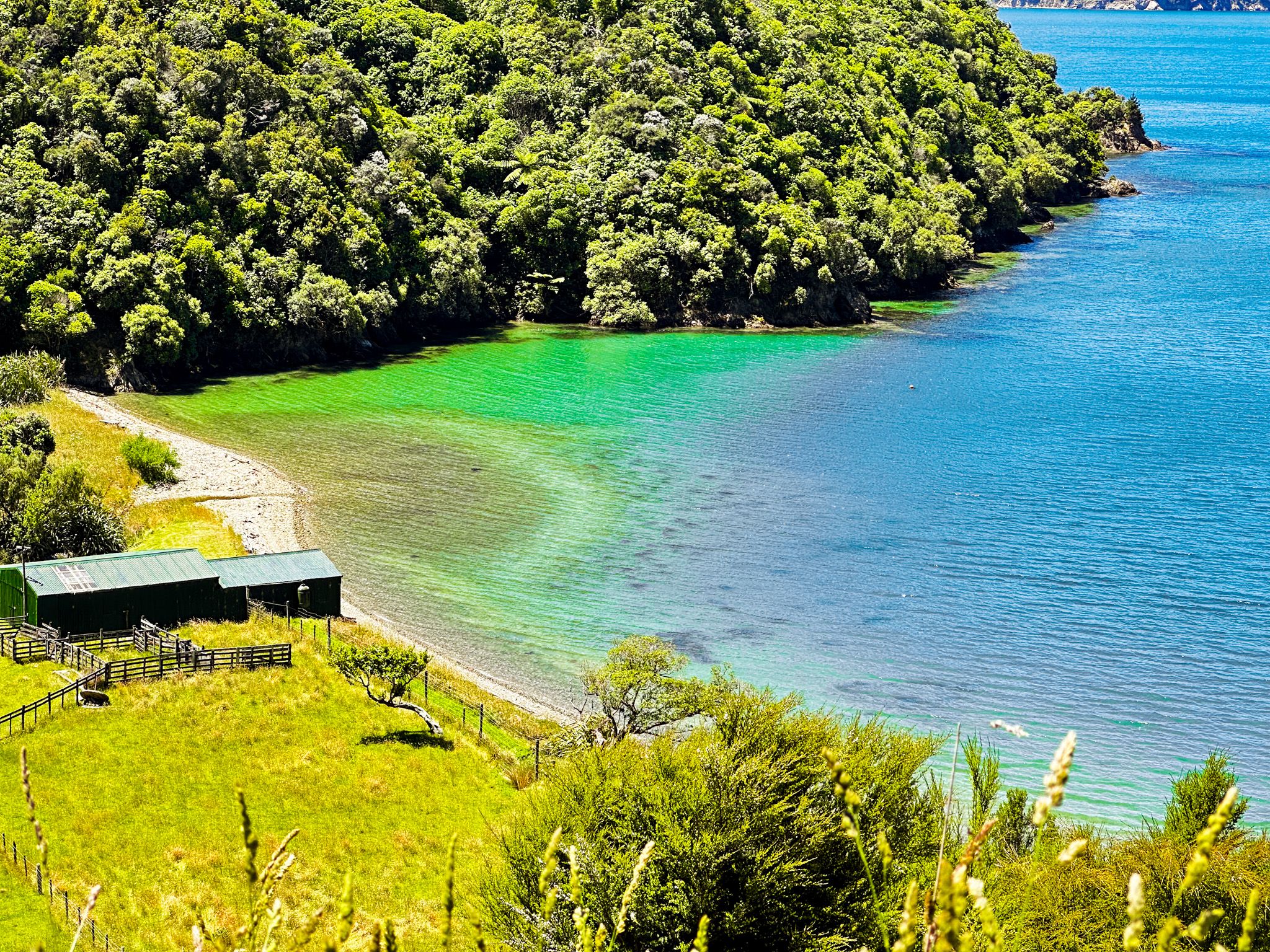
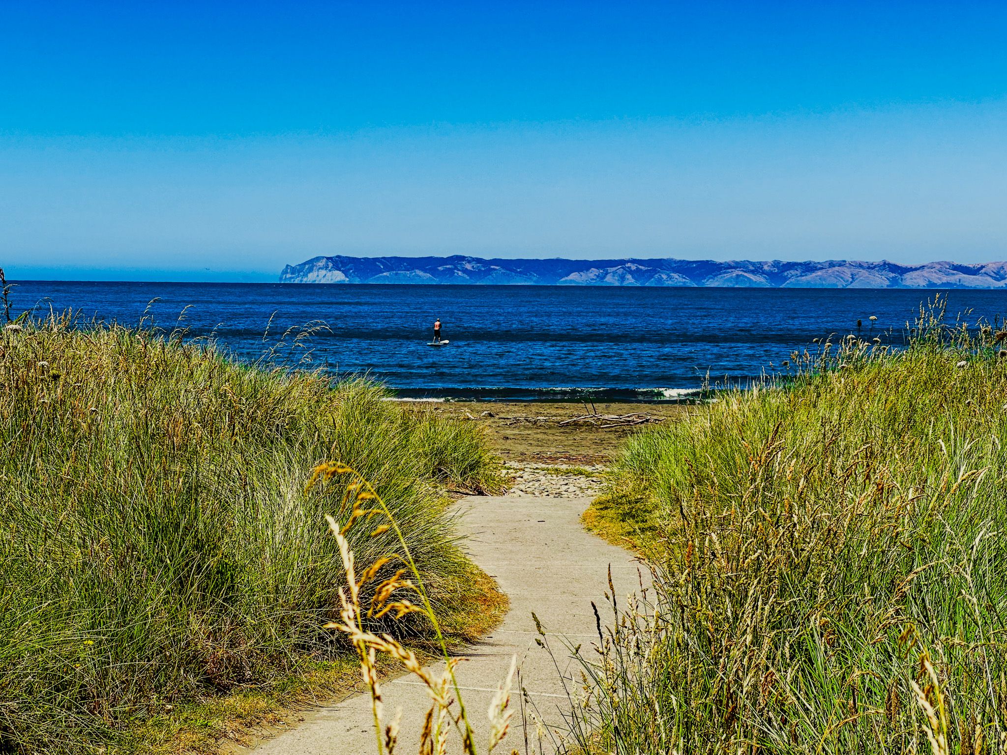
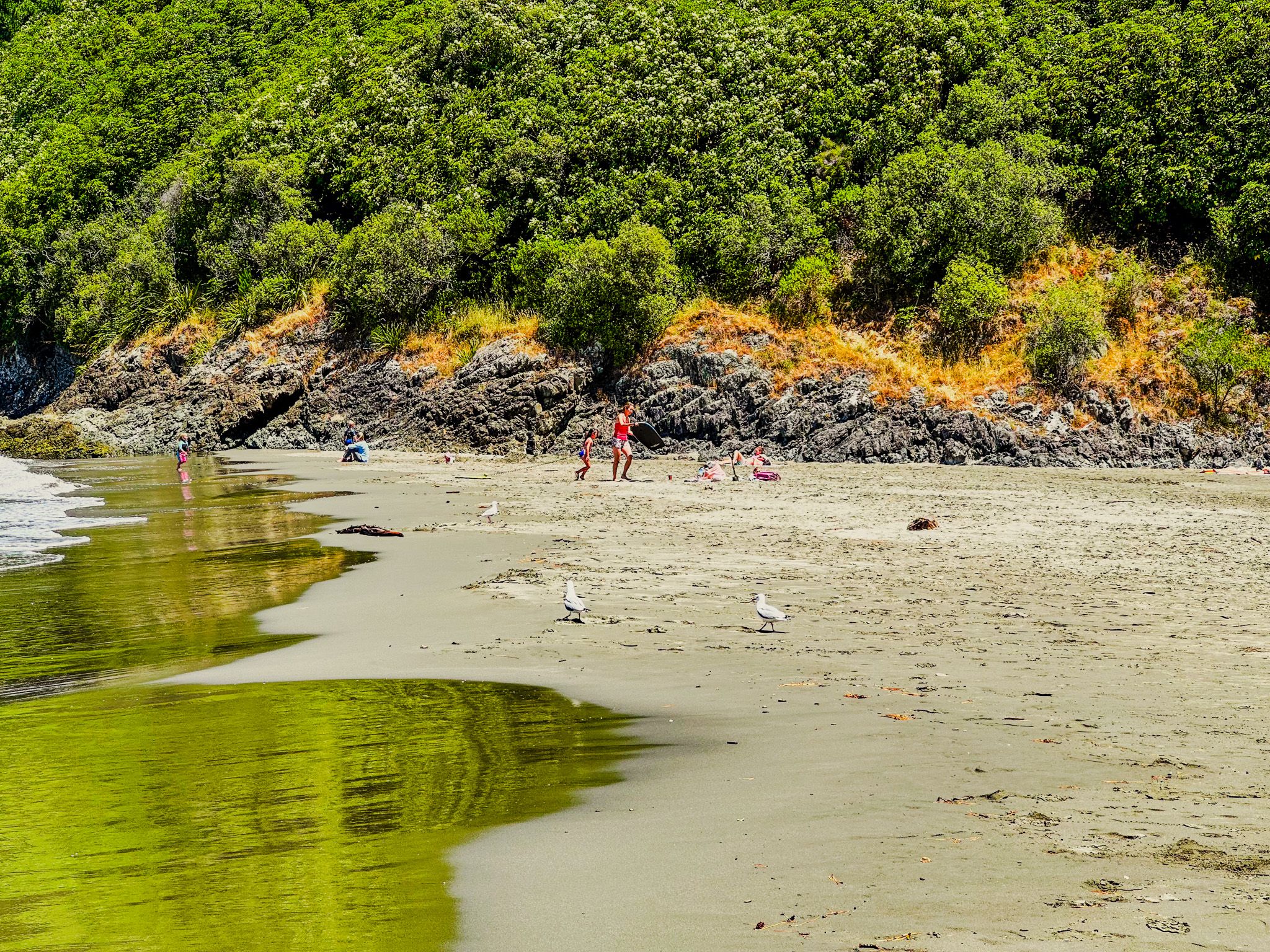
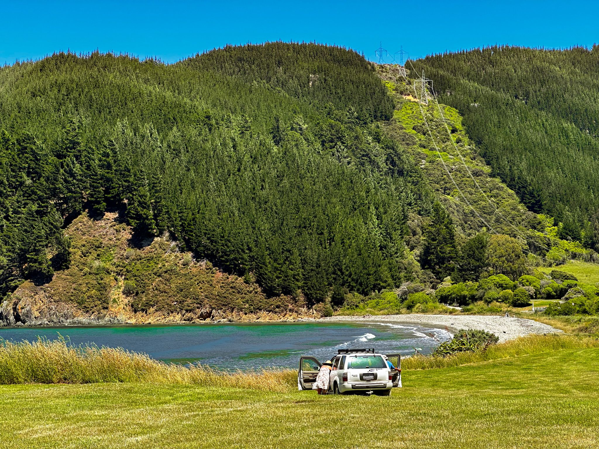
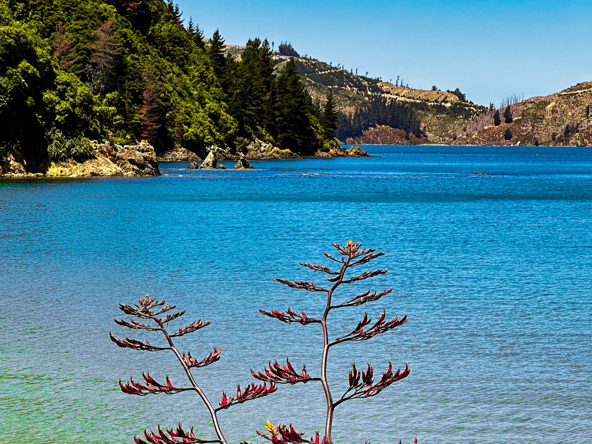
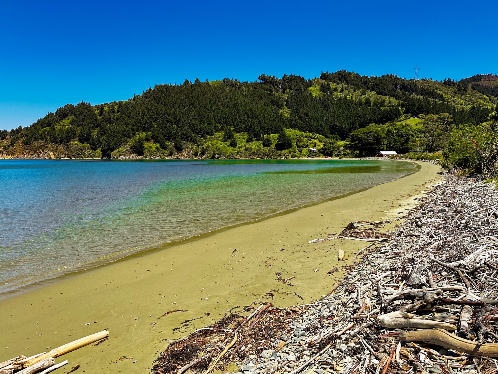
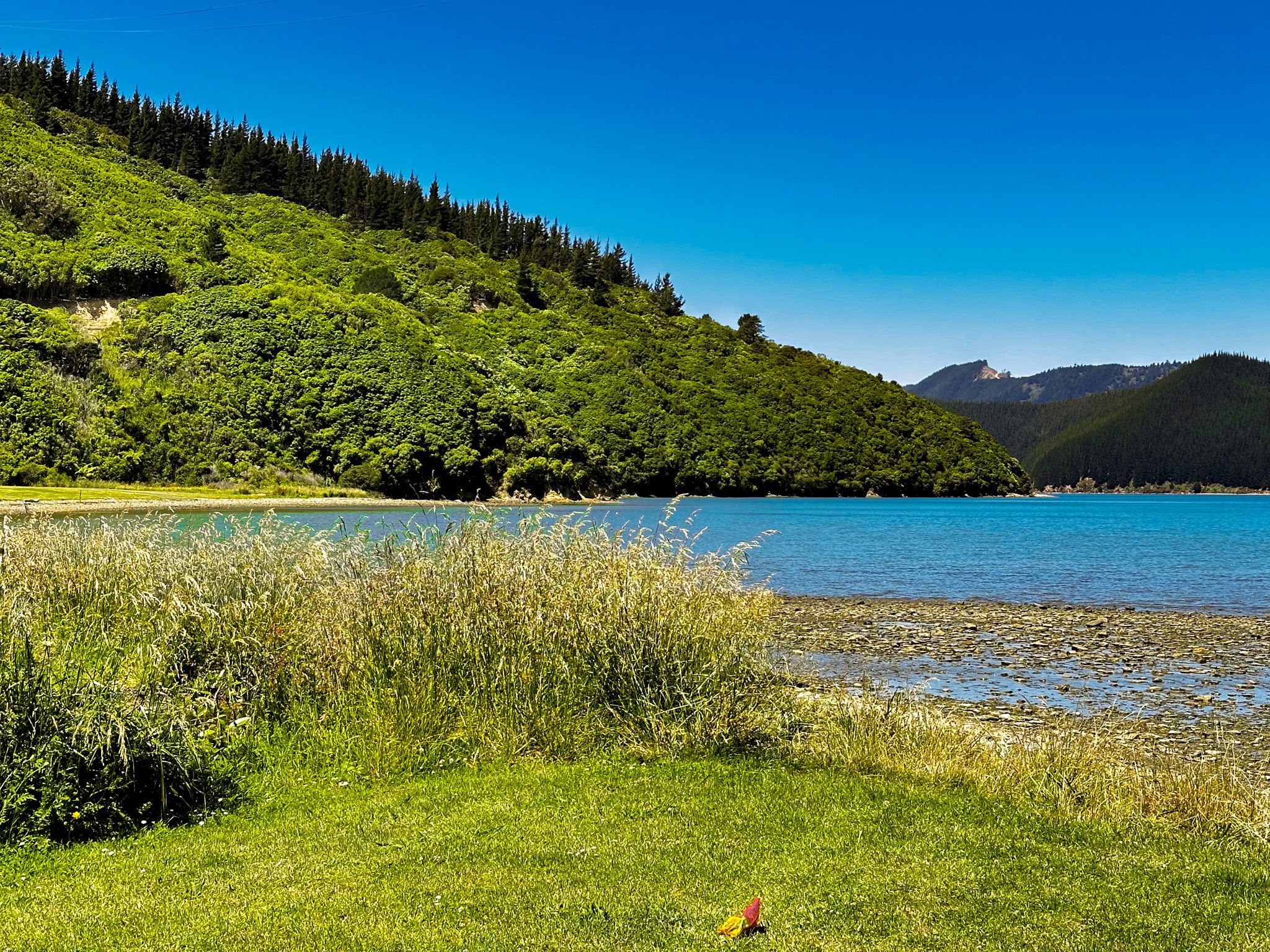
Waikutakuta / Robin Hood Bay is 14 km along Port Underwood Road from Rarangi, on Cook Strait and just south of the entrance to Whanganui / Port Underwood. The second half of the drive is on gravel and very windy, and it is not as pretty as Pukatea / Whites Bay. It is surrounded by farmland with some exotic pine forests on the hills. The advantage is fewer people in a still very pretty location. The beach is about 900 metres long and mostly sandy, making it big for the region. It is also quite sheltered from Cook Strait, making it safe for swimming.
A DOC campsite is immediately to your left as you enter the bay. But in practice, you can probably camp on the grass verge overlooking the north end of the beach. Although it is near the road, this section is sealed to eliminate excess dust.
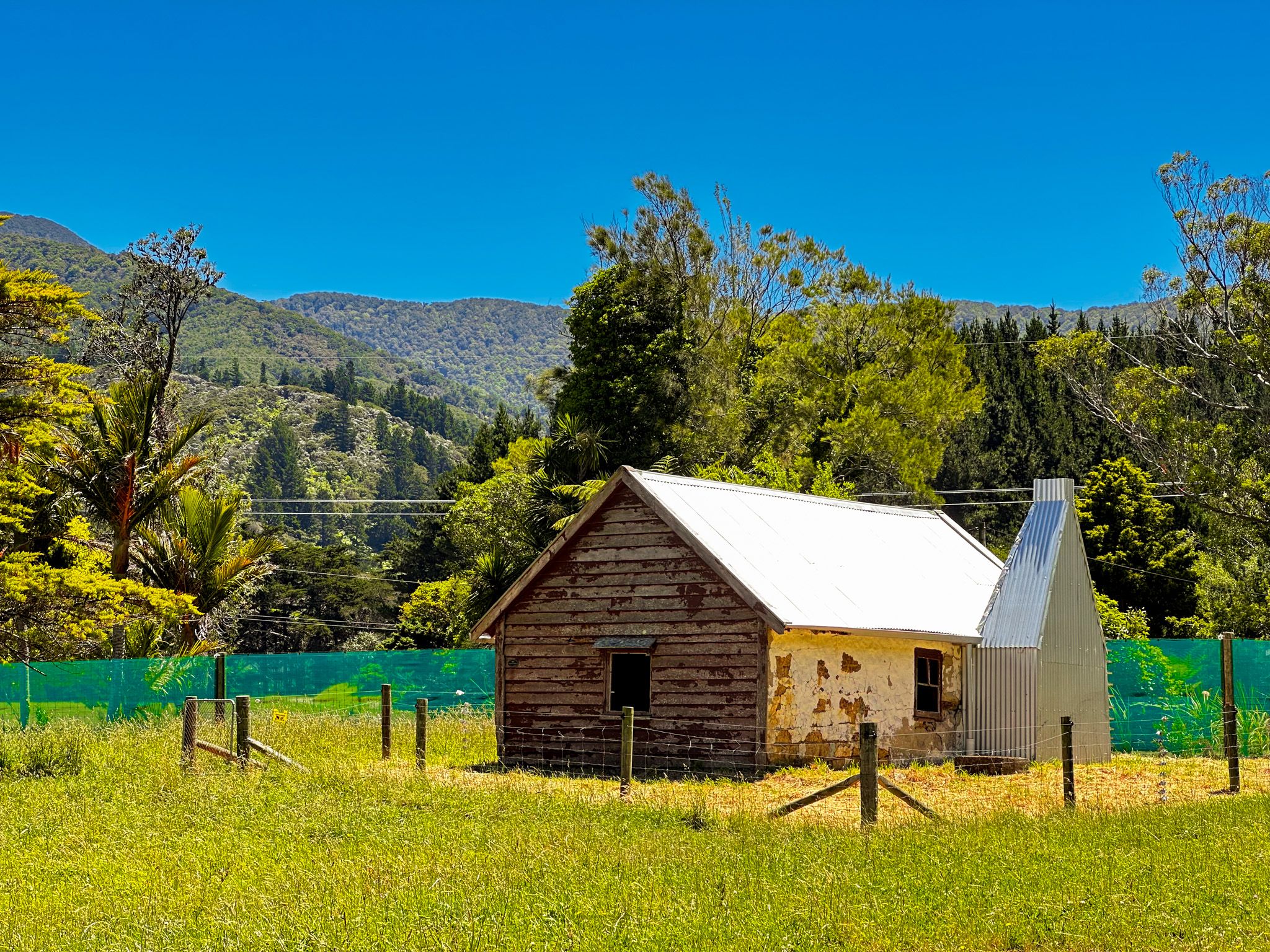
The unusual European name was probably after a visiting ship in the early 1800s. There is evidence the area was farmed by Māori with pre-European kūmara gardens, which subsequently became sheep farms. At the bay's north end is an old stone cottage that dates back to the late 1840s, one of the oldest surviving buildings in the region.
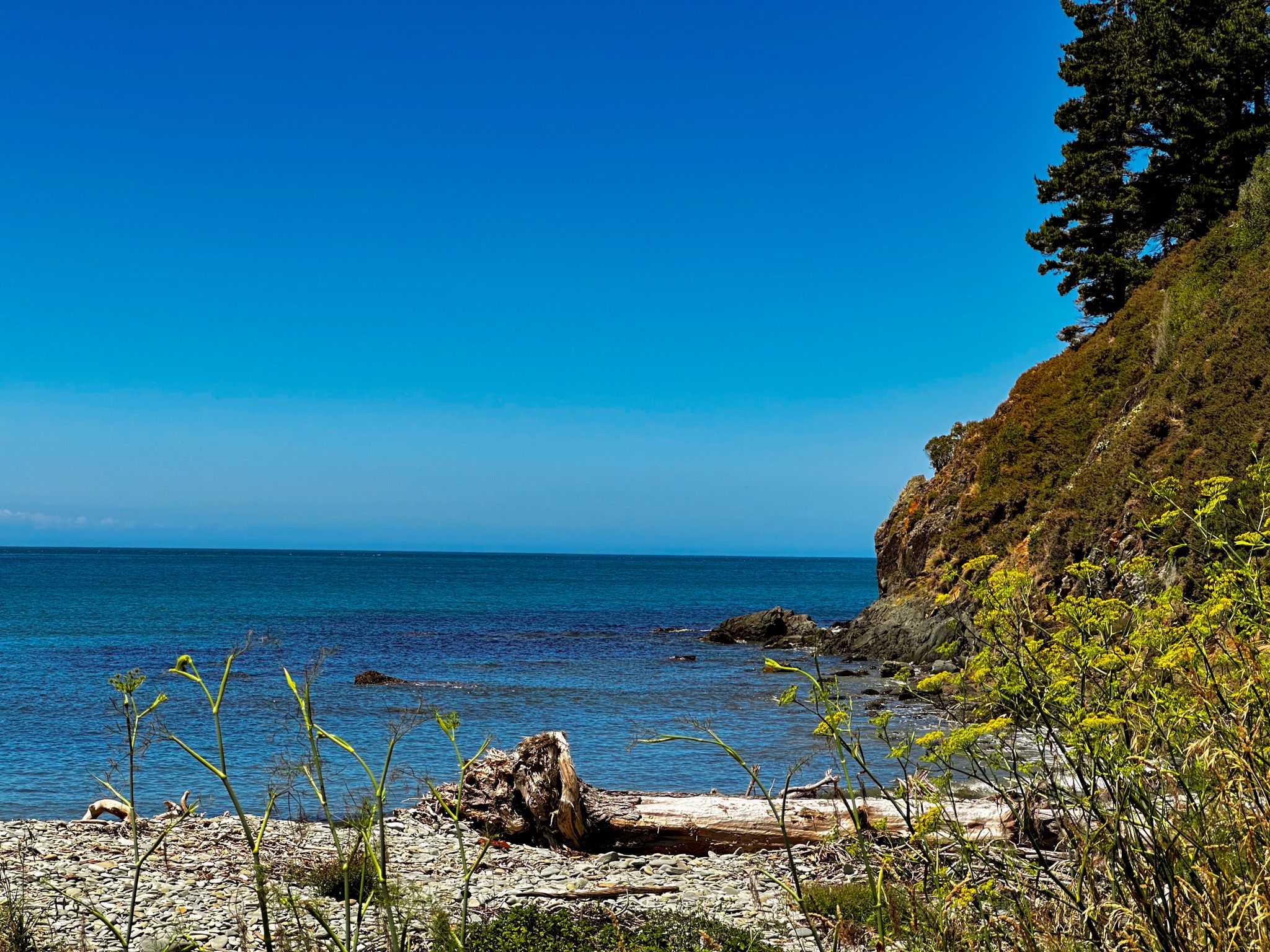
Ocean Bay
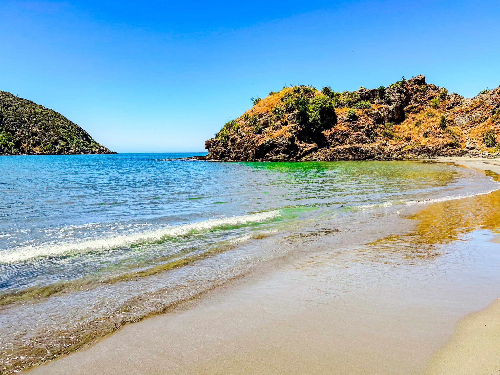
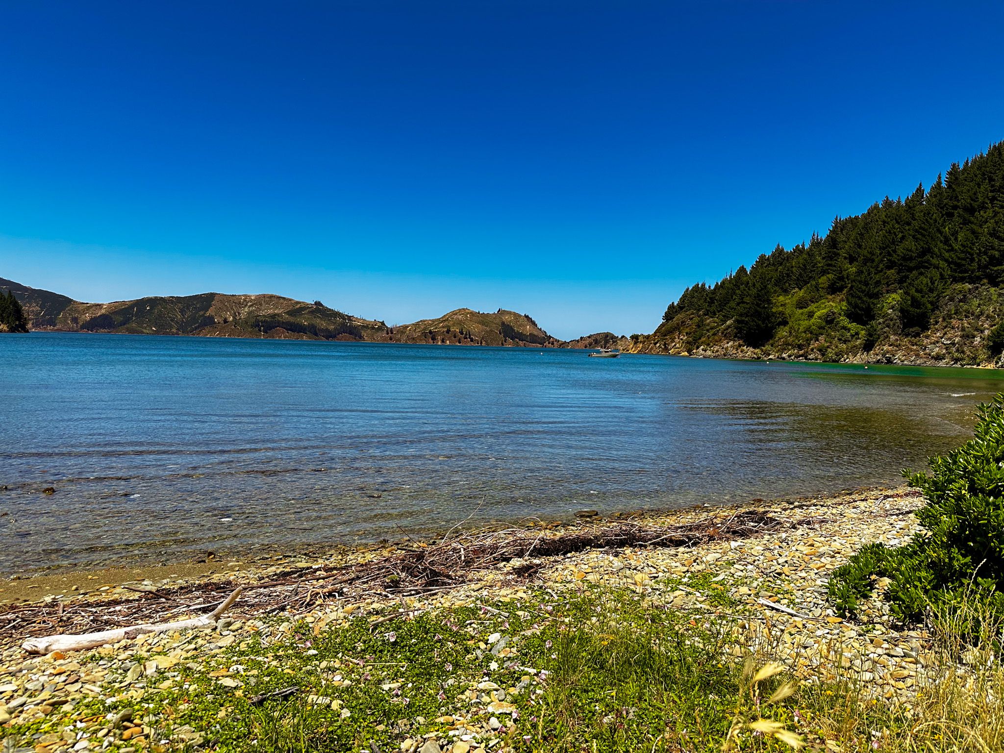
Ocean Bay is an attractive small bay 19 km north of Rarangi on Port Underwood Road. it is just inside the entrance to Port Underwood, with a 600 metre-long attractive sandy beach. There is a small number of houses and bachs around the bay.
There is no camping and very limited options for public parking off the narrow road above the beach. Once you have a park, it is easy to access the beach, which is quite private from the road. Because it is a bit tricky, there is unlikely to be a crowd. Take a picnic, have a swim and explore the rock pools.
As with other bays along this coast, there was a long history of Māori occupation. After Te Rauparaha took over the bay in the late 1820s, two whaling stations were established. By the late 1830s, about 30 Europeans and 100 Māori were in the area, mostly occupied with whaling, as was most of Port Underwood at the time. The bay does have a Māori name, Ohienga, but this has yet to appear on the map
Cruise Guide has an excellent short history of the bay if you are interested.
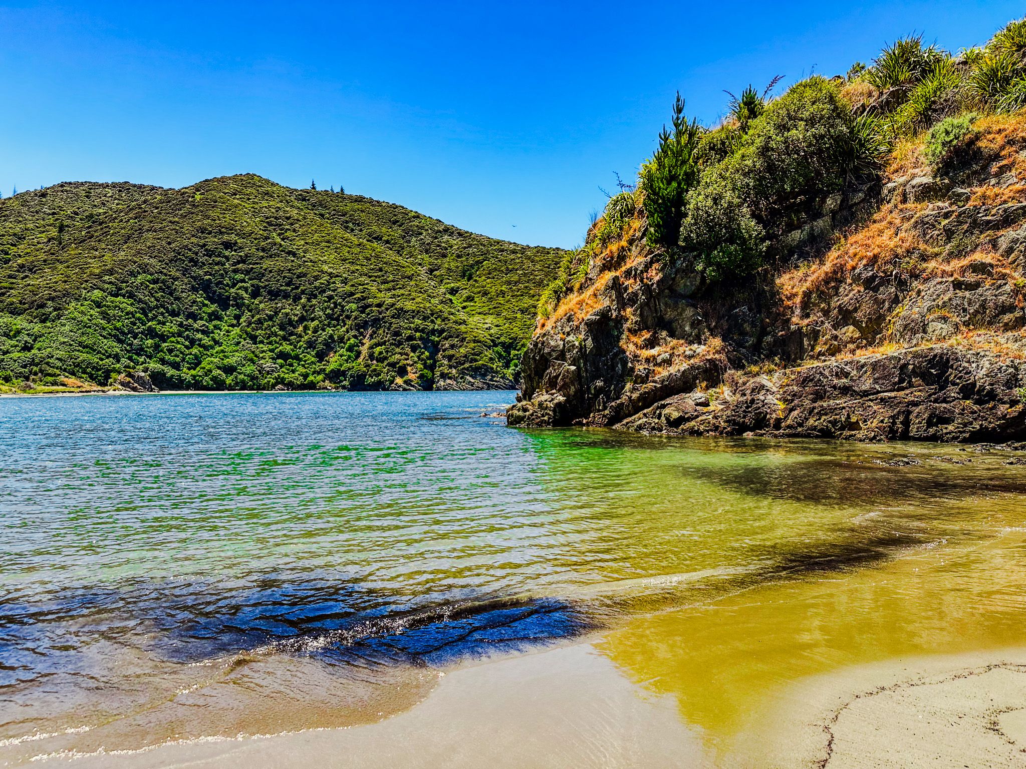
Tom Canes Bay
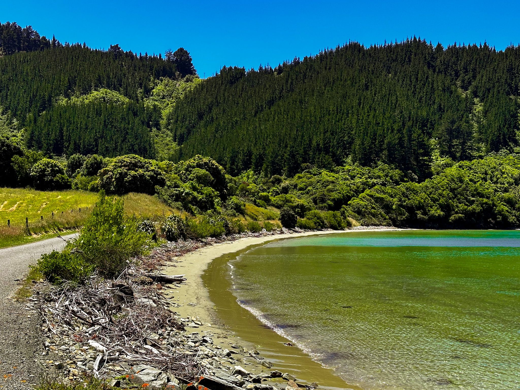
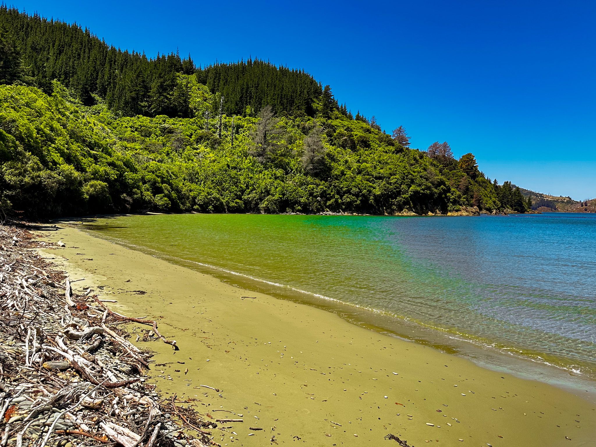
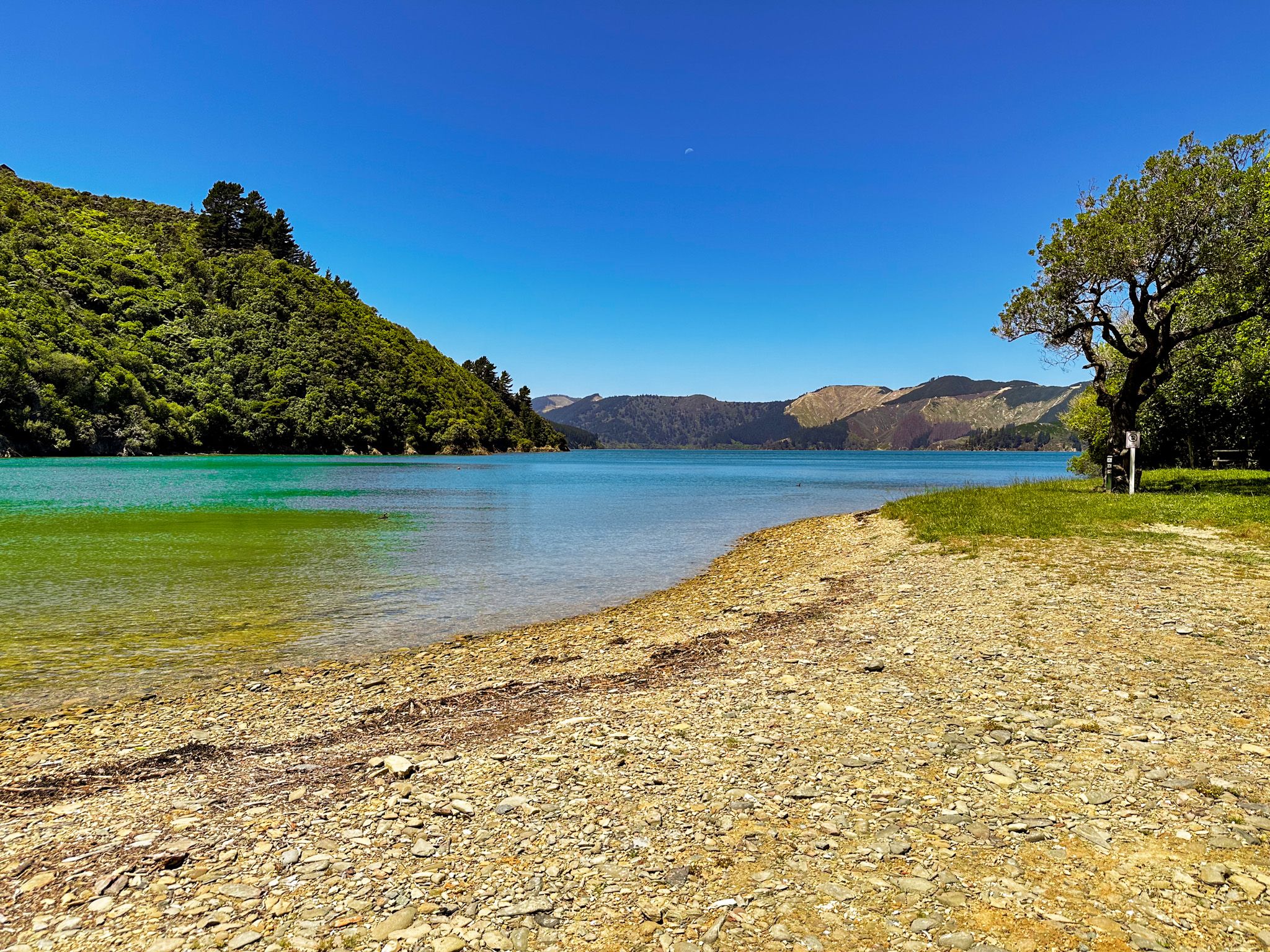
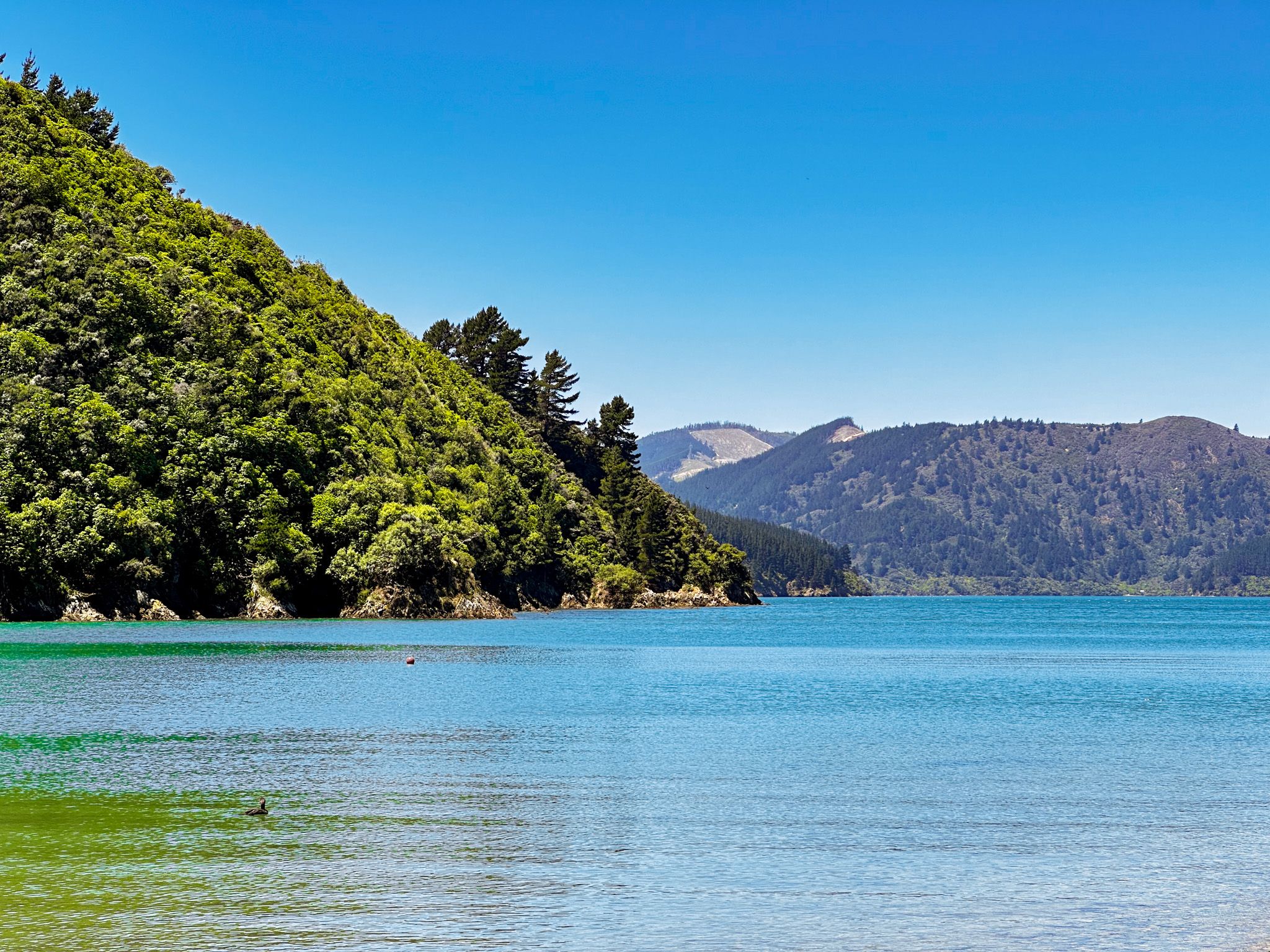
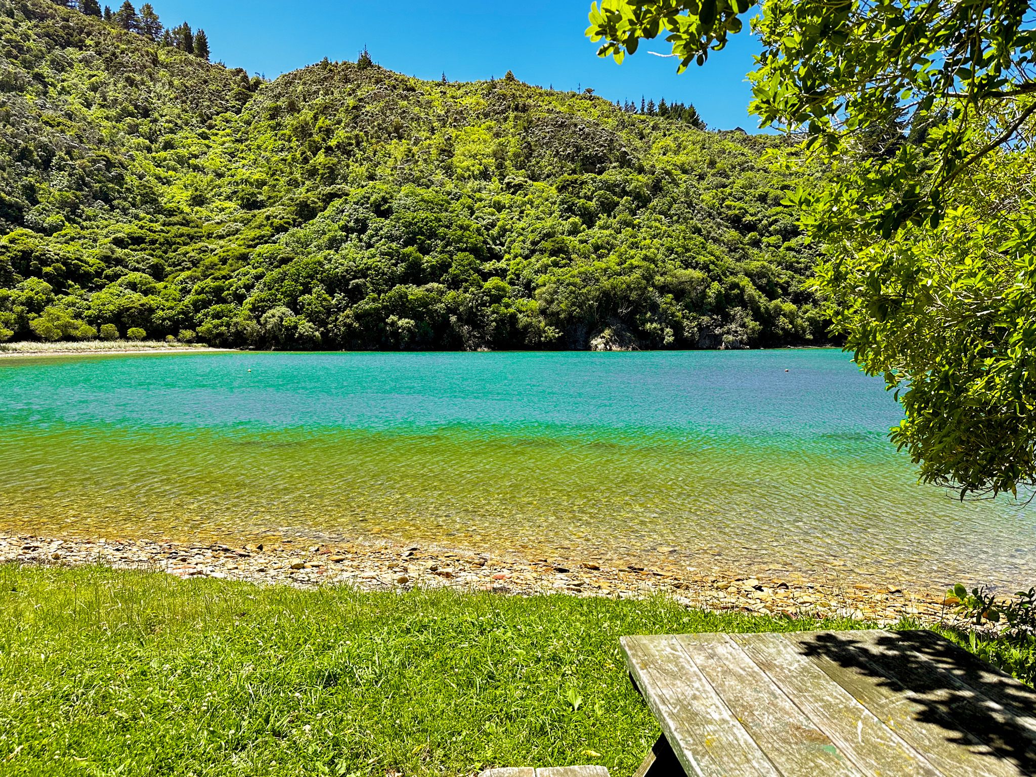
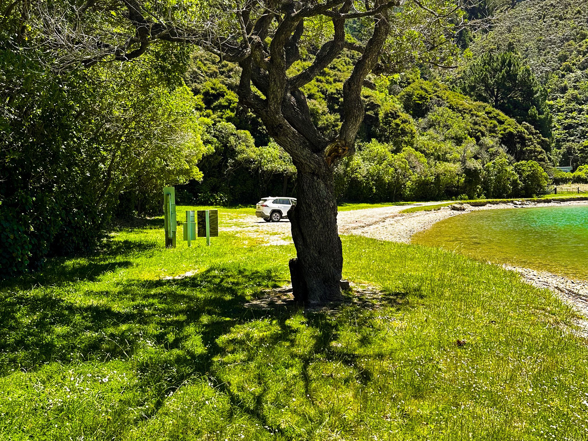
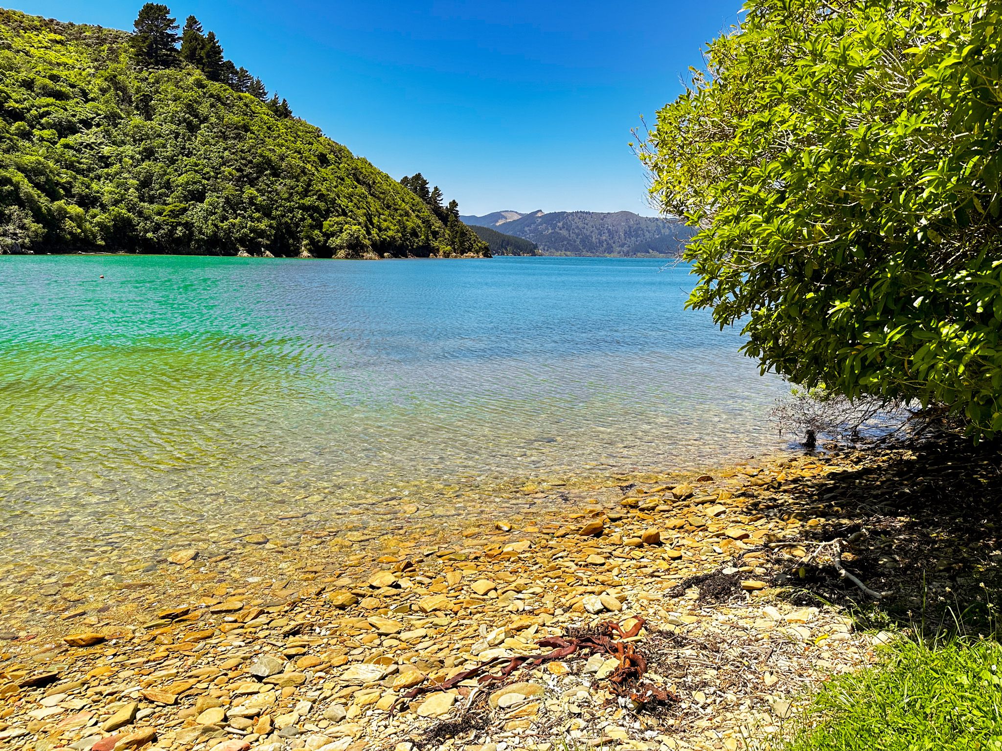
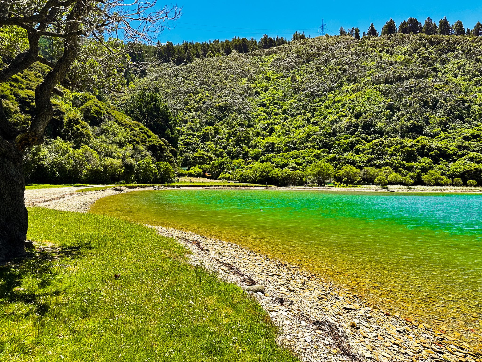
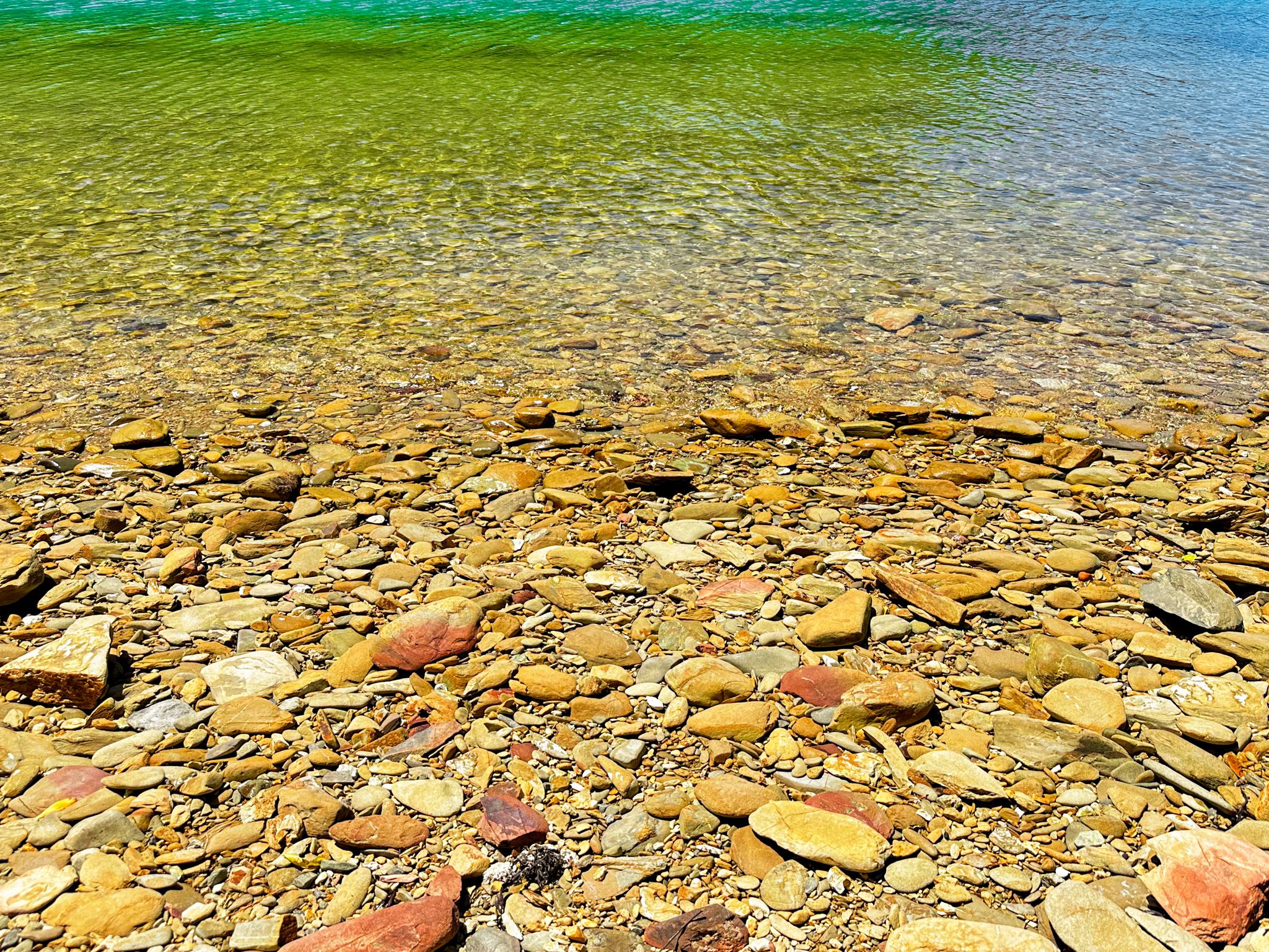
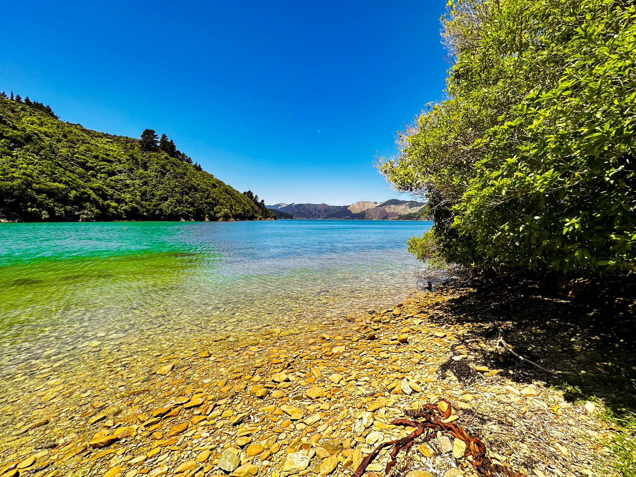
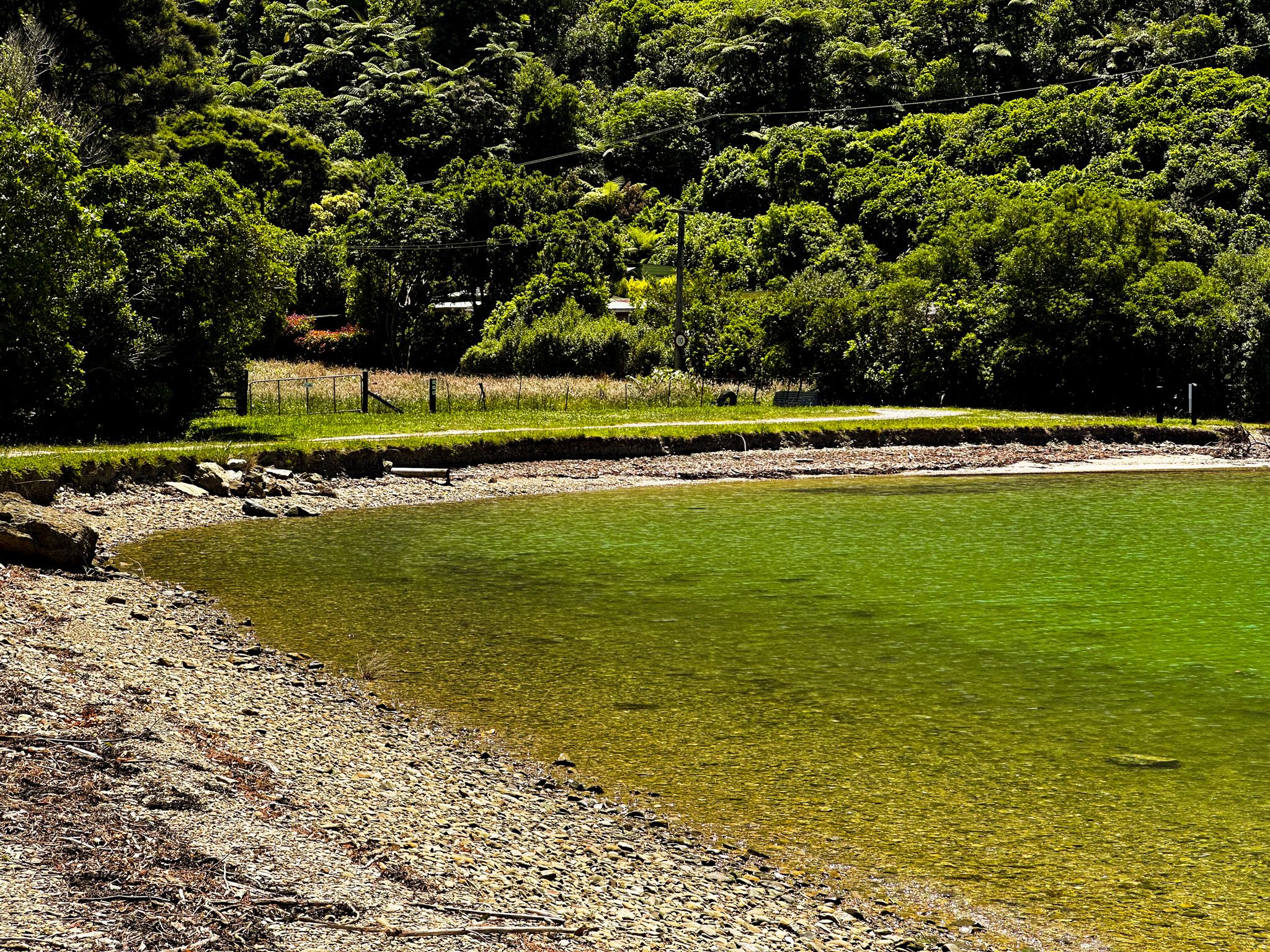
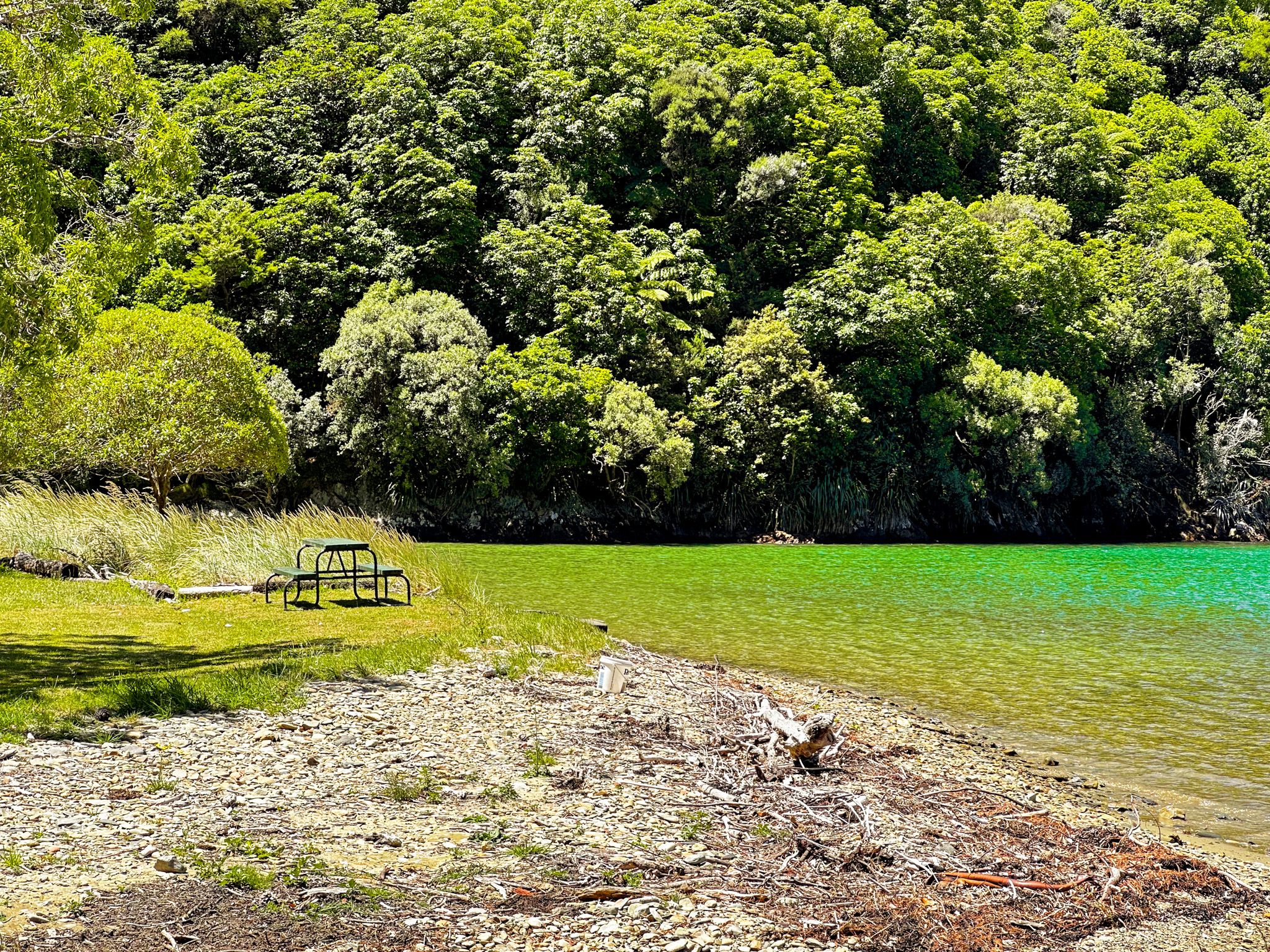
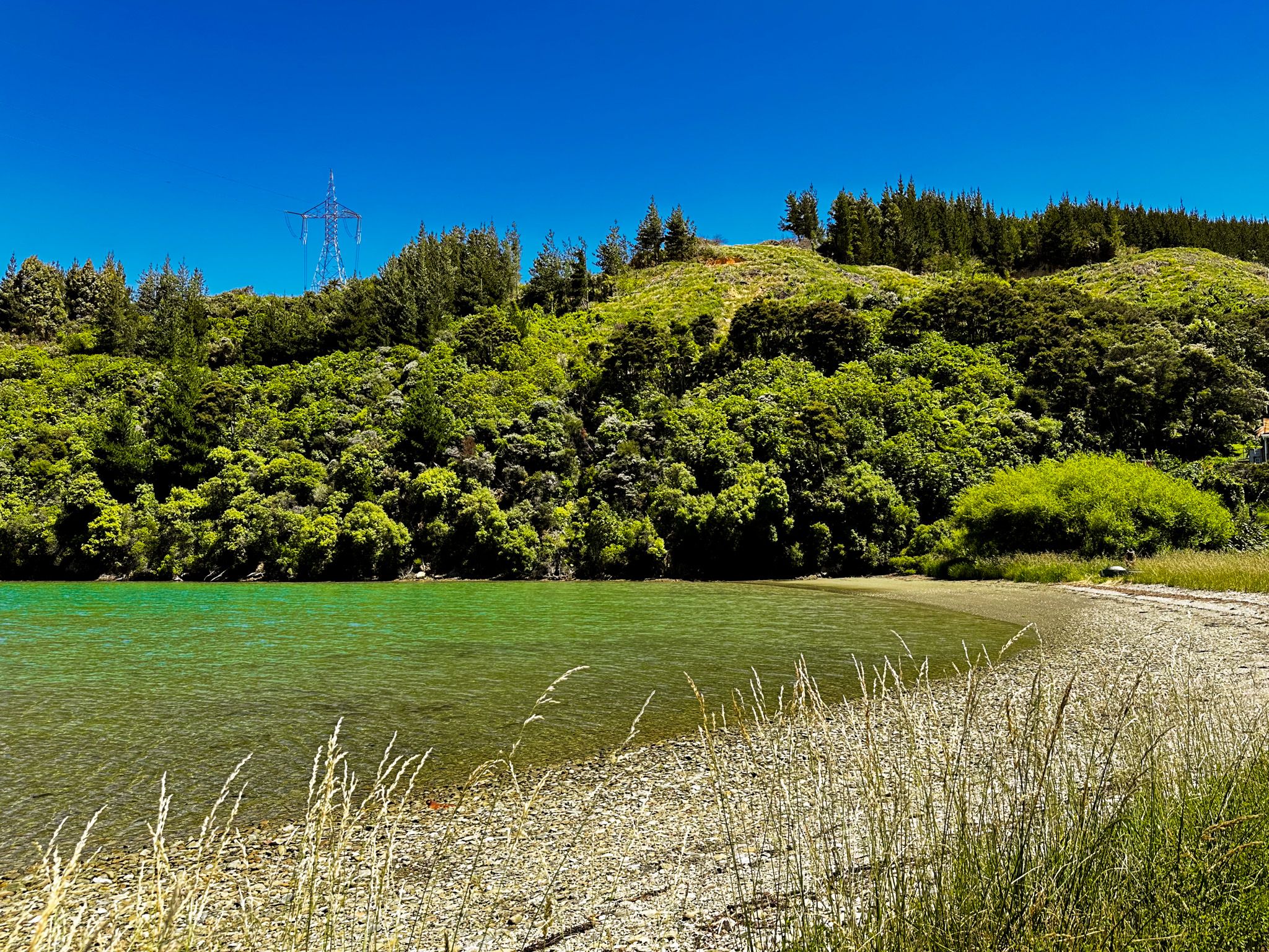
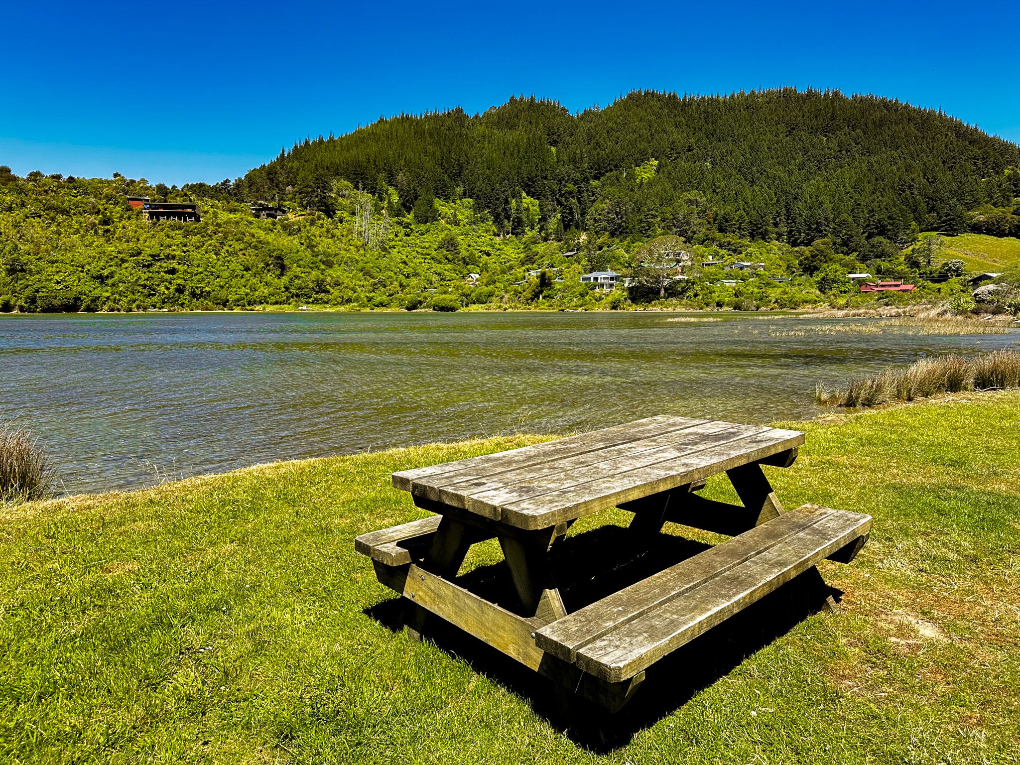
Tom Canes Bay is within Port Underwood and the last accessible bay from Port Underwood Road between Rarangi and Oyster Bay. Unlike the other accessible bays, it has a little sandy beach and is very small, only about 100 metres wide. But it is exceedingly pretty with colourful stones and a nice grassy reserve on the south side of the beach with a picnic table. It's a perfect spot for a picnic or to lie around doing nothing at all.
In the 1830s, it was quite different. The name started as Tom Caves Bay but morphed into Tom Canes Bay. It was one of several bays with significant interests in Port Underwood, with apparently two whaling stations. This is hard to imagine given its modest size and handful of bachs today.
There is also an interesting historical crime story. An early settler in Tom Canes Bay, Mary Ann Baldick, was reputedly given nearby Whangatoetoe Bay and Pipi Bay by local Māori for saving a young Māori girl from rape. Mary Ann later moved to Blenheim and set up a nursing and maternity home, having had several marriages and a number of children.
Cruise Guide has an excellent short history of the bay if you are interested.
Oyster Bay and Hakahaka Bay
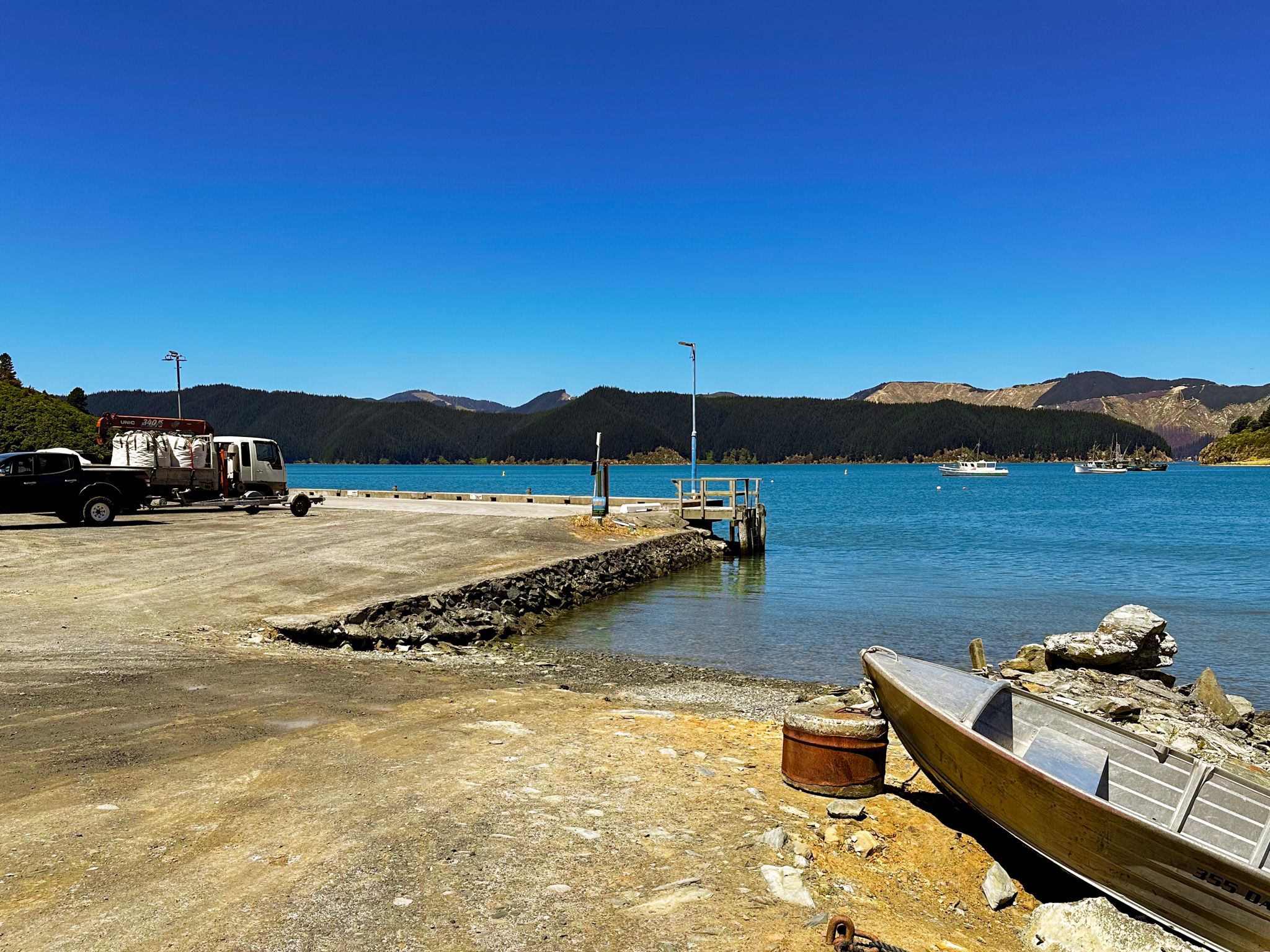
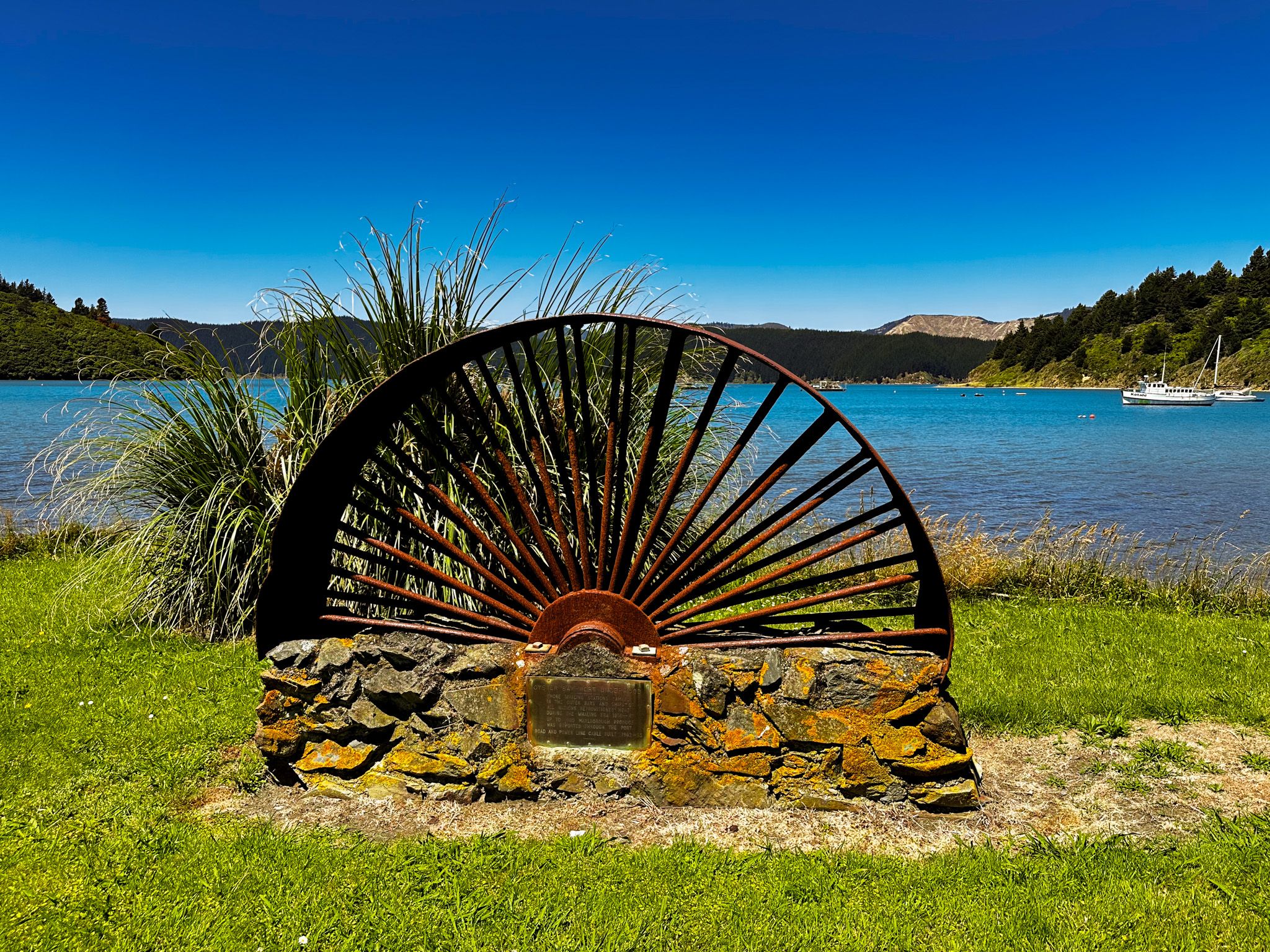
Oyster Bay, confusingly also known as Port Underwood, is the most northerly point for Port Underwood Road within Port Underwood, the inlet. It is 30 km from Rarangi, on a mostly unsealed road or 22 km from Picton, on a sealed road.
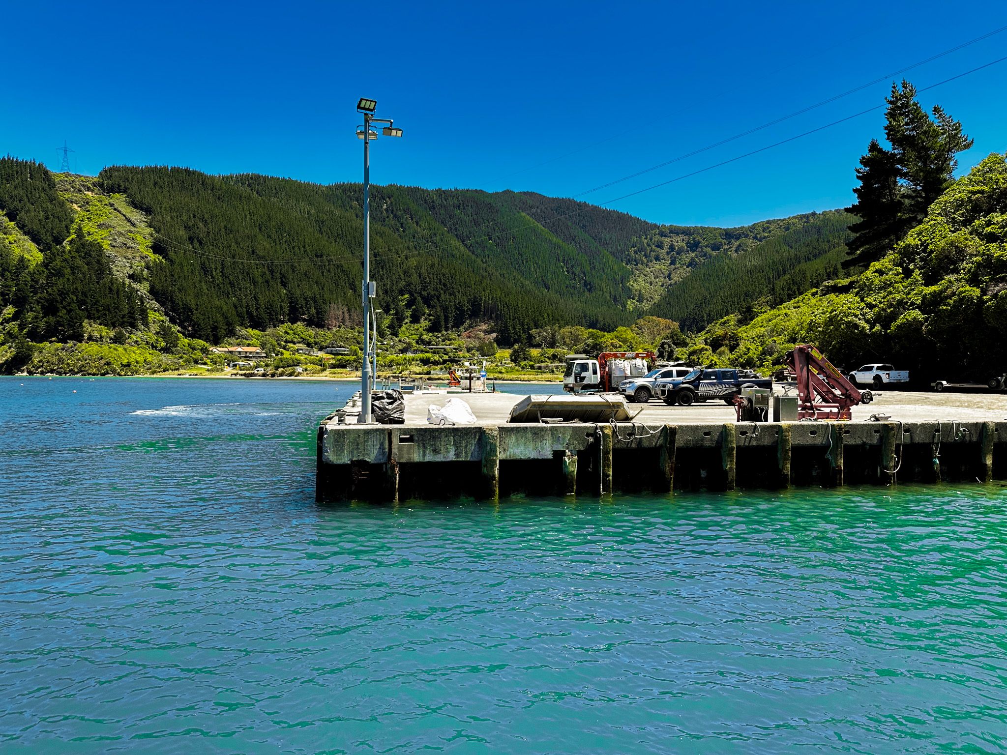
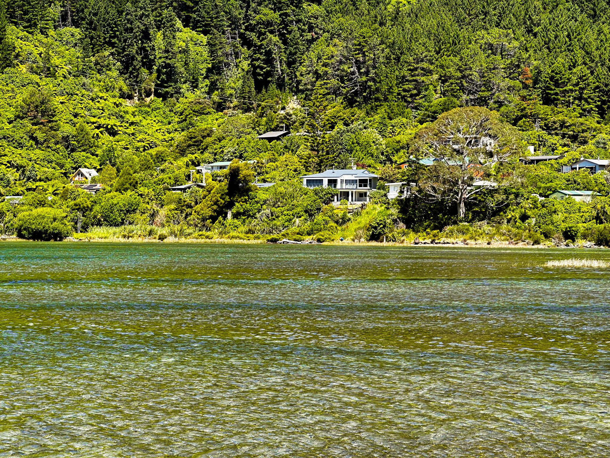
The south end of the 400 metre-wide bay has recreational access with a sandy beach while the north end is occupied by a commercial wharf that supports the marine farms and other commercial activities around the inlet. On the north side of the wharf is smaller Hakahaka Bay. Both bays have a number of houses, making them the closest thing to a hamlet in Port Underwood.
Māori knew the area as Te Toi; the European name Oyster Bay is a direct translation. It reflected the enormous supply of oysters within the bay, long greatly diminished. The name of Hakahaka Bay is more obscure. It was supposedly the name of a local chief but also means “flat” in Māori, and it certainly is flat.
After Te Rauparaha conquered the area in the 1820s, there was an influx of European whalers. The two remote bays became important sites for provisioning the whalers. Once the whaling stopped, they returned to being remote and inaccessible bays. This changed in the 1960s after Port Underwood Road connected the bays with Picton via Whatamango Bay. An electrical connection was also pushed through, and the bay supported workers on this project for a while. The road and access to power, in turn, drove commercial activity based on forestry and marine farming.
Whatamango Bay
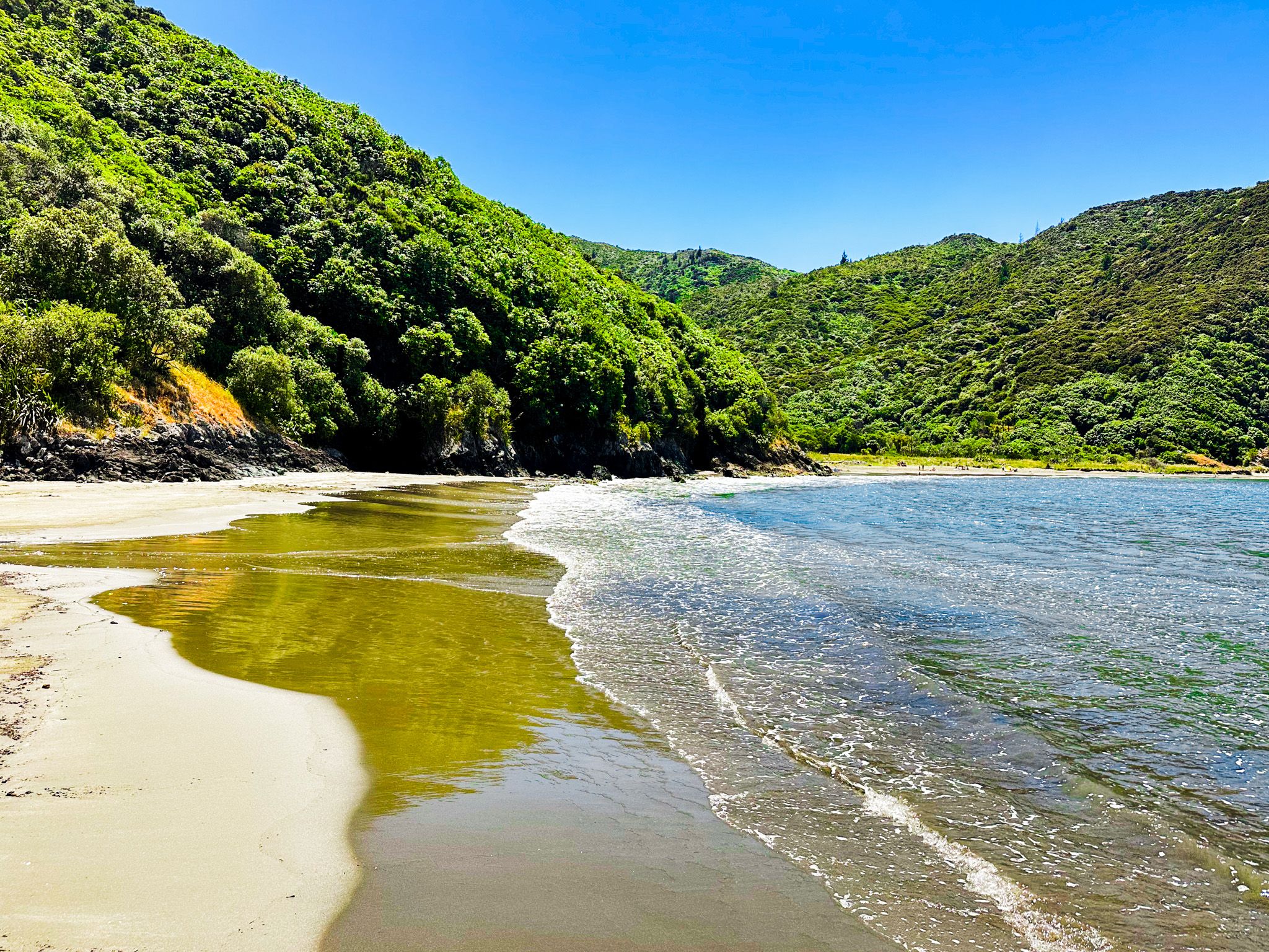
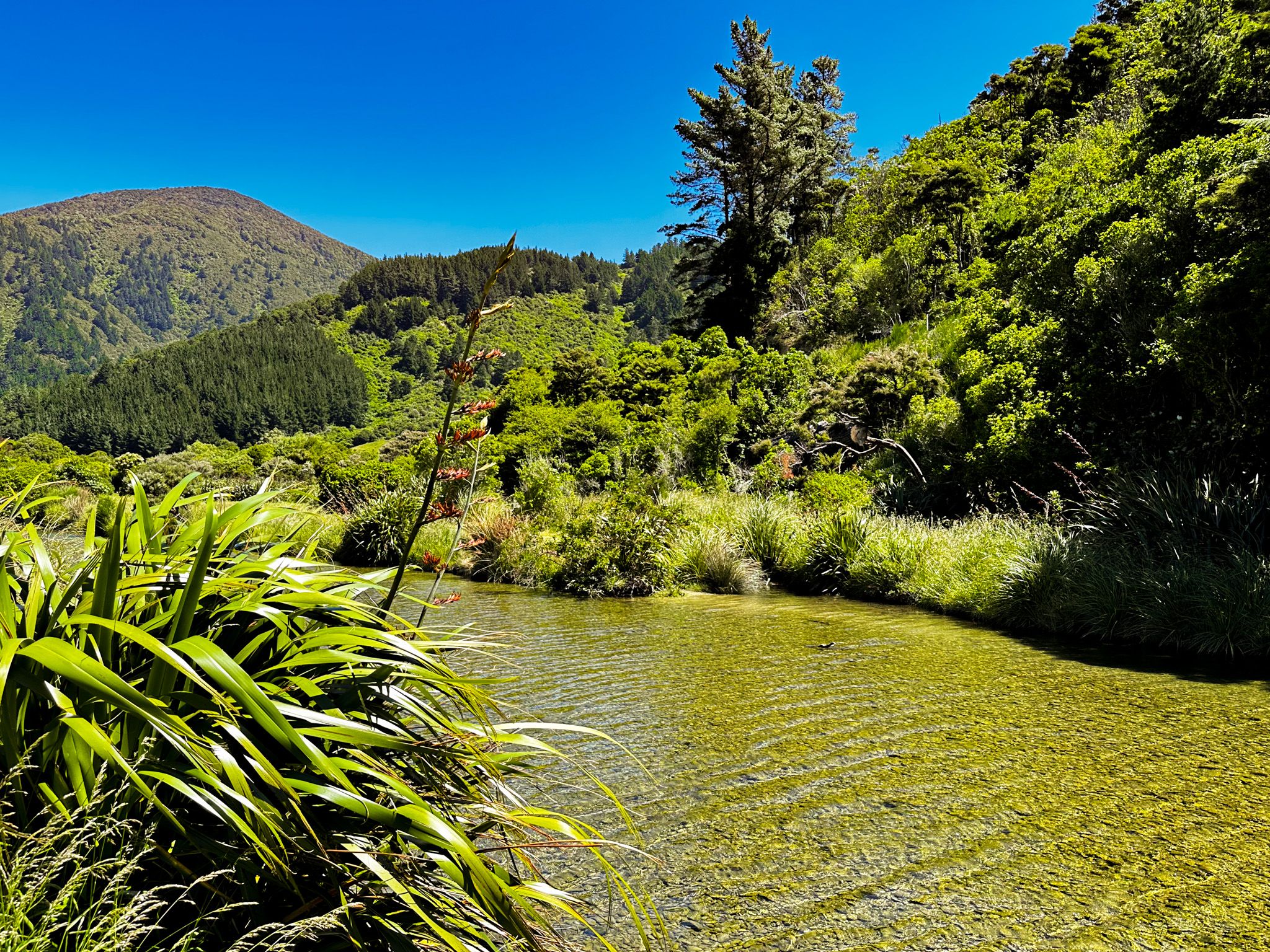
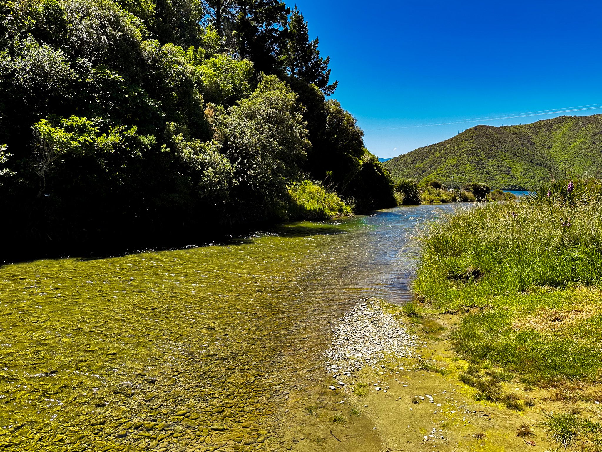
Whatamango Bay is 11 km from Picton on a sealed section of Port Underwood Road. The bay connects to Queen Charlotte Sound and is surrounded by high hills with a mix of native forest and exotic pines. There is a large DOC campsite at the front of the bay, but the beach is limited, with the tide line right up to the grassed reserve. There are a number of houses and bachs at the east end of the bay. To the south is 965 metre-high Mount McCormick, named for an early European settler in the bay in the mid-1800s. The Graham River runs through the west end of the bay, adding an extra feature.
Pre-Europeans, the bay was rich in kaimoana (seafood) and is named for a raised storehouse for drying shark meat. Māori also collected shark oil for preserving wood carvings. The bay was a waypoint for a Māori track linking Queen Charlotte Sound to Port Underwood, which was even used for waka portage. This track rises as high as 400 metres and was the route for Port Underwood Road when it was pushed through to Oyster Bay.
Karaka Point Reserve
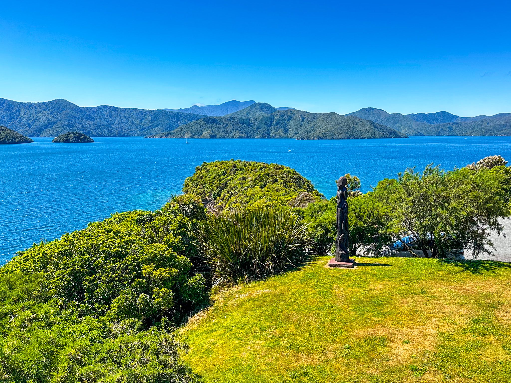
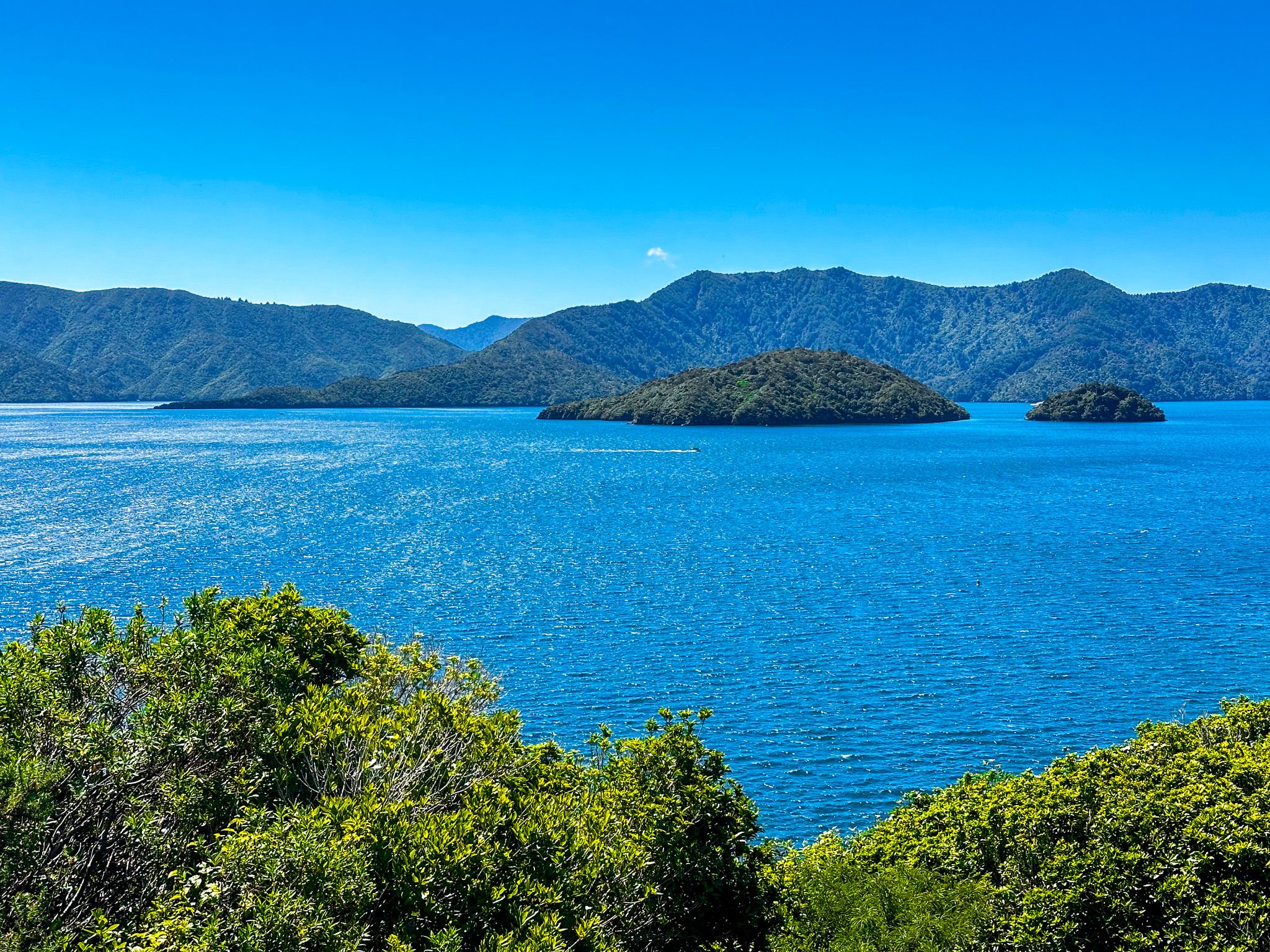
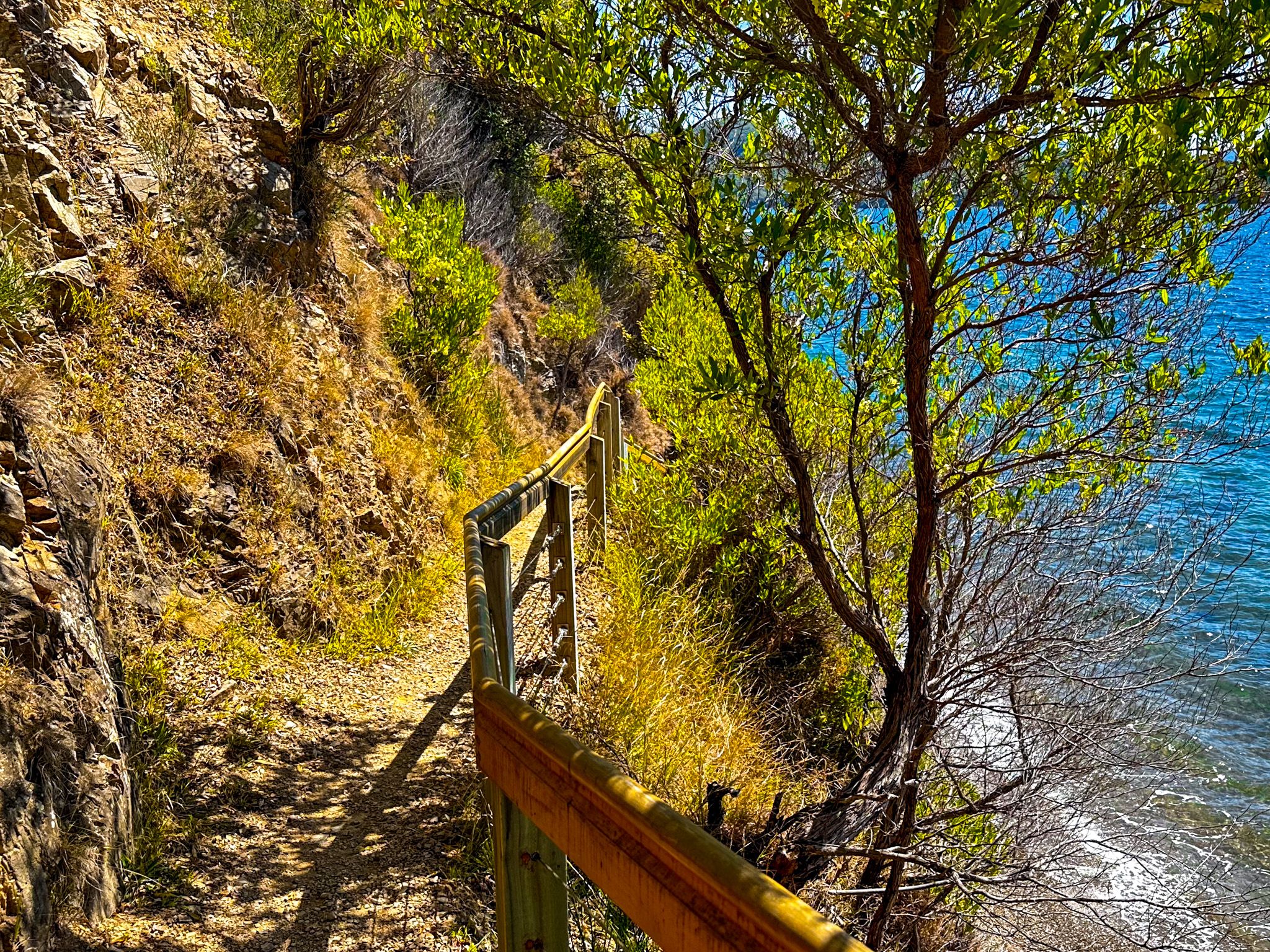
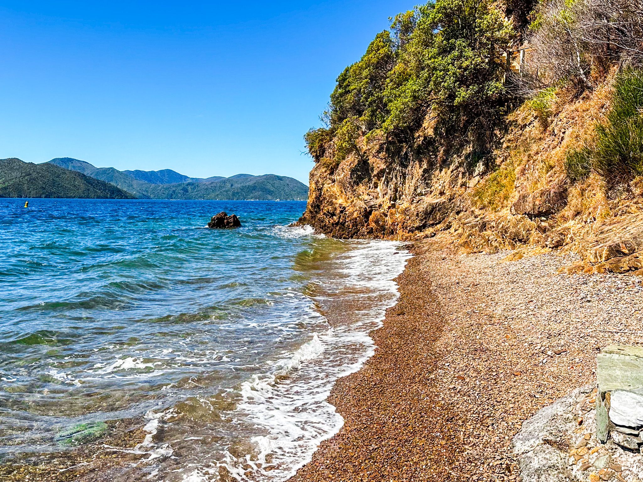
Karaka Point Reserve is a wonderful short walk. The point is a high, cliff-bound, narrow finger of land between Whatamango Bay and Waikawa Bay, pointing into Queen Charlotte Sound. It combines a historic Māori pā site, Te Rea o Karaka pā, with a walk through an eclectic mix of replanted native bush, amazing views over Queen Charlotte Sound / Tōtaranui and a cliffside staircase down to a pretty beach. The reserve is clearly signposted on Port Underwood Road, with plenty of car parks. Rangitāne iwi erected the pou at the entrance, which tells the story of Kupe's battle with the giant wheke (octopus).
The pā dates back to the 1500s and was built by early Ngāti Mamoe. It was an attractive location as it commanded access to the marine food resources in Whatamango and Waikawa Bays. Various iwi are believed to have occupied the pā until the invasion of Marlborough by Te Rauparaha in the 1820s. In 1829, his forces had reached Queen Charlotte Sound / Tōtaranui and members of local iwi, mainly Rangitāne, retreated to the pā, believing it to be impregnable. This turned out to be wrong, and it was captured with substantial loss of life. The battle was forgotten, and the location was deserted and then farmed.
In the 1950s, Karaka Point was gifted to NZ, and the reserve was established. Subsequent native planting, information boards and the pou provide an accessible experience.

Waikawa Bay
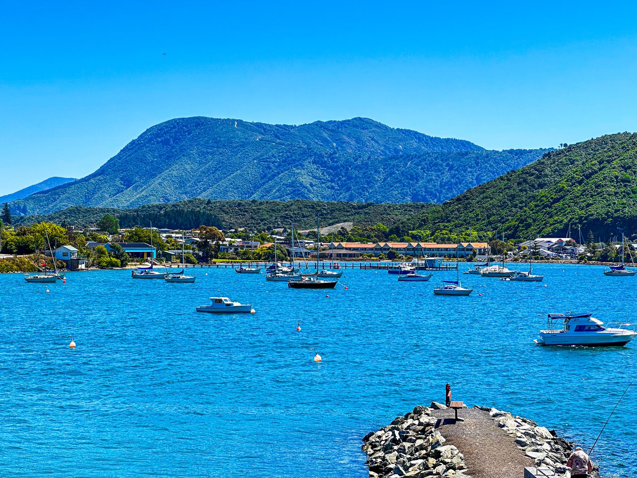
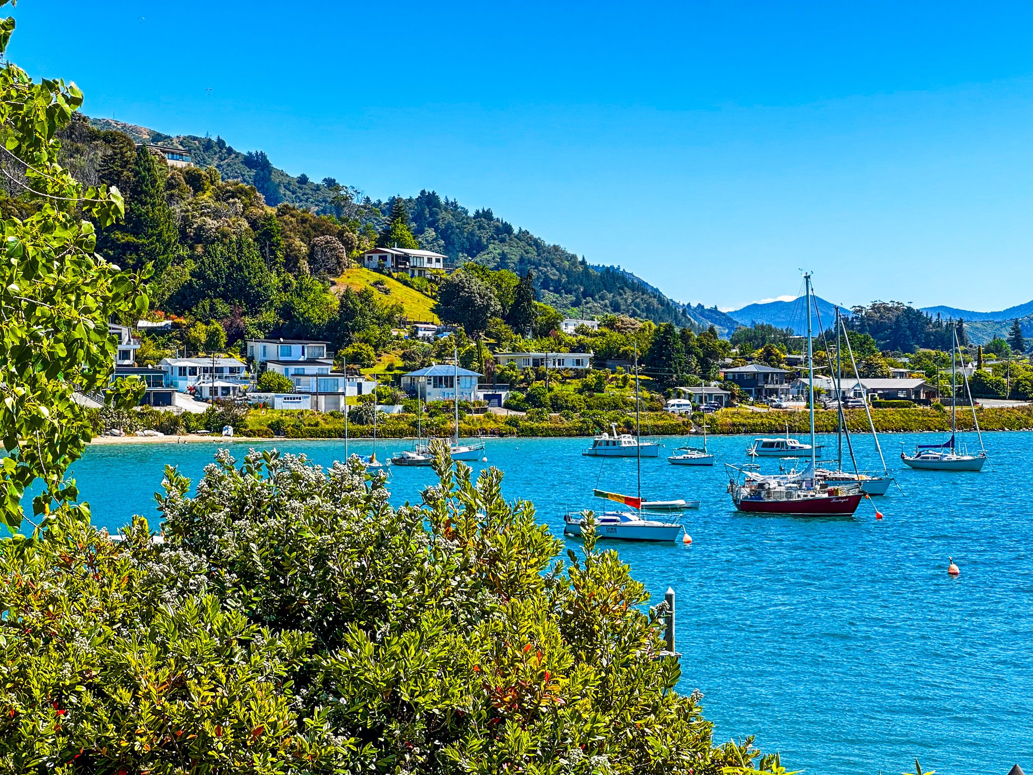
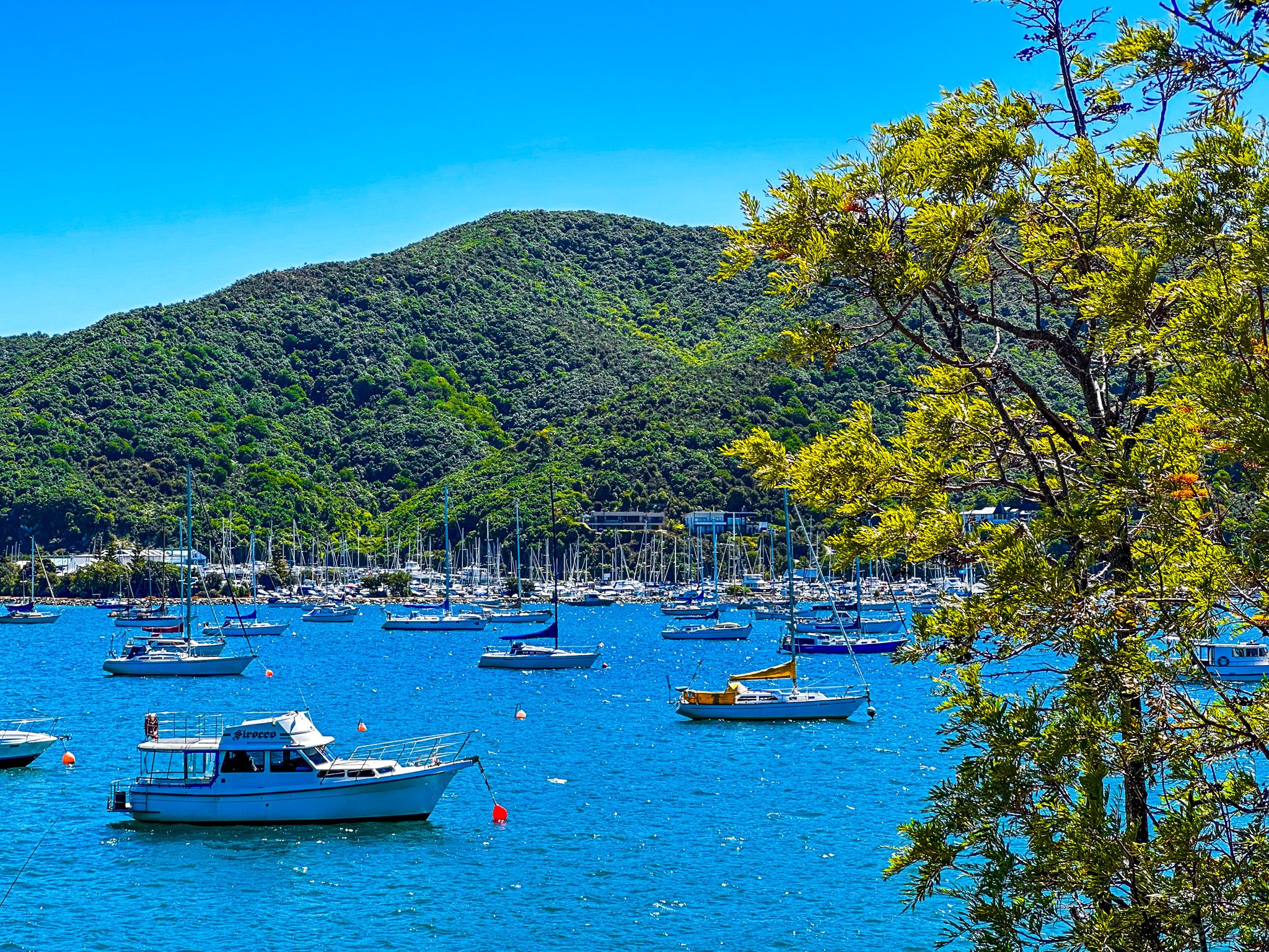
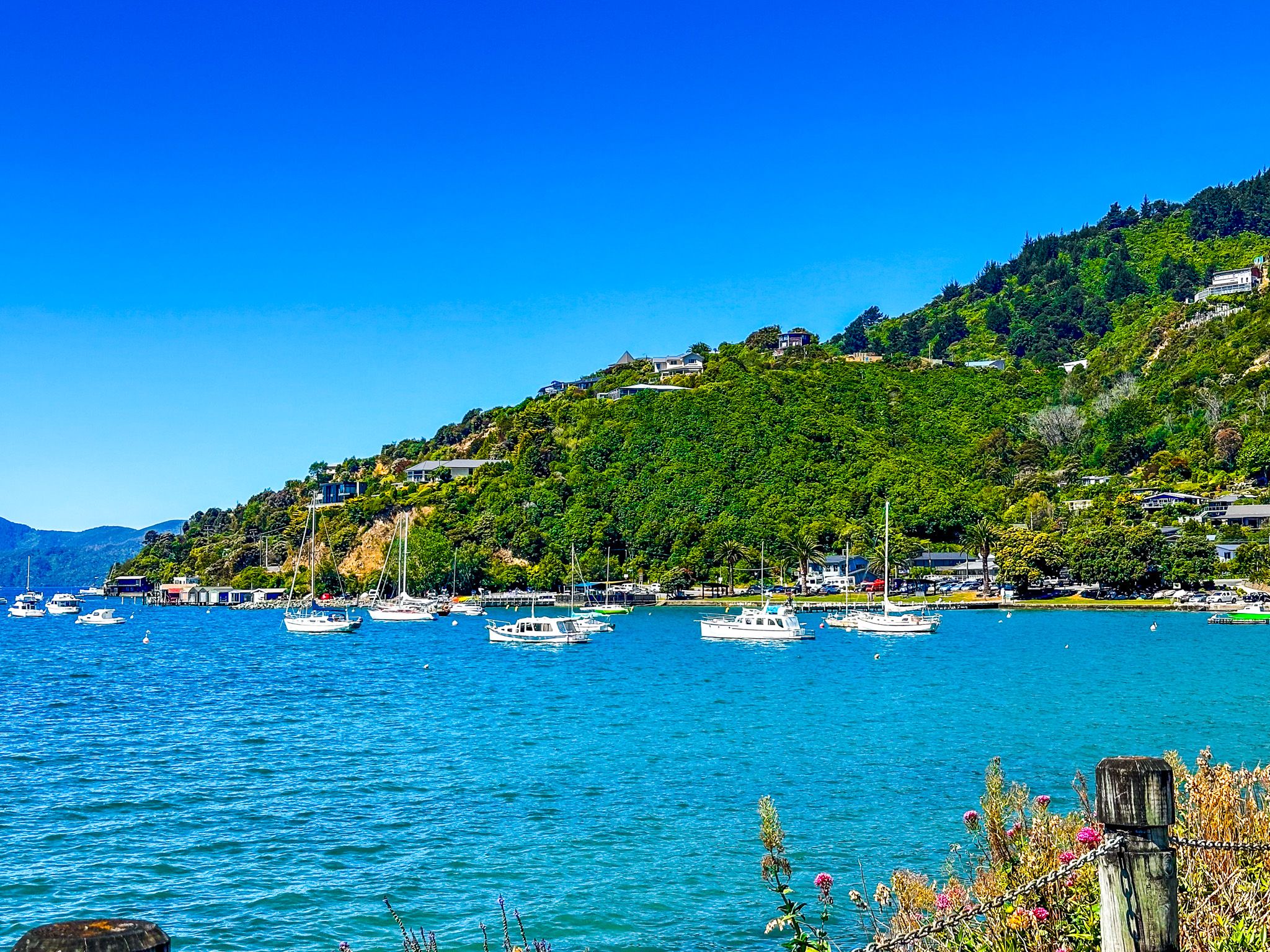
The town of Waikawa in Waikawa Bay is immediately northeast of Picton along Waikawa Road, which then becomes Port Underwood Road. The bay is relatively narrow and connected to Queen Charlotte Sound / Tōtaranui. It is bounded to the northwest by the Snout, a long point that separates the bay from Picton Harbour. On the northwest side of the bay and below the Snout is one of the largest marinas in NZ, with 600 berths.
The Snout is a forested reserve and has a large number of walking tracks. There is also an easy coastal walk and access to several small beaches on the southeast side of the bay.
The bay had a long pre-European Māori history. At least eight iwi have historic associations with the area, with plantations in the valley and kaimoana in the bay. Local iwi were disrupted by the invasion by Te Rauparaha and their defeat at Te Rea o Karaka pā around 1829/30. However, after the purchase of land around Picton and Waikawa by the NZ Company in 1850, the victorious iwi, Te Ātiawa o Te Waka-a-Māui, which had occupied a local pā, moved into private houses in the new town of Wiakawa as part of the land sale deal.
These people were disrupted by a typhoid outbreak around 1860, resolved when Ropoama Te One, the local rangatira, discovered a clean water source. A memorial to this event was placed on Waikawa Road in 1978 by the Picton Historical Society, based entirely on iwi oral histories of the outbreak that predated published news services in Picton.