
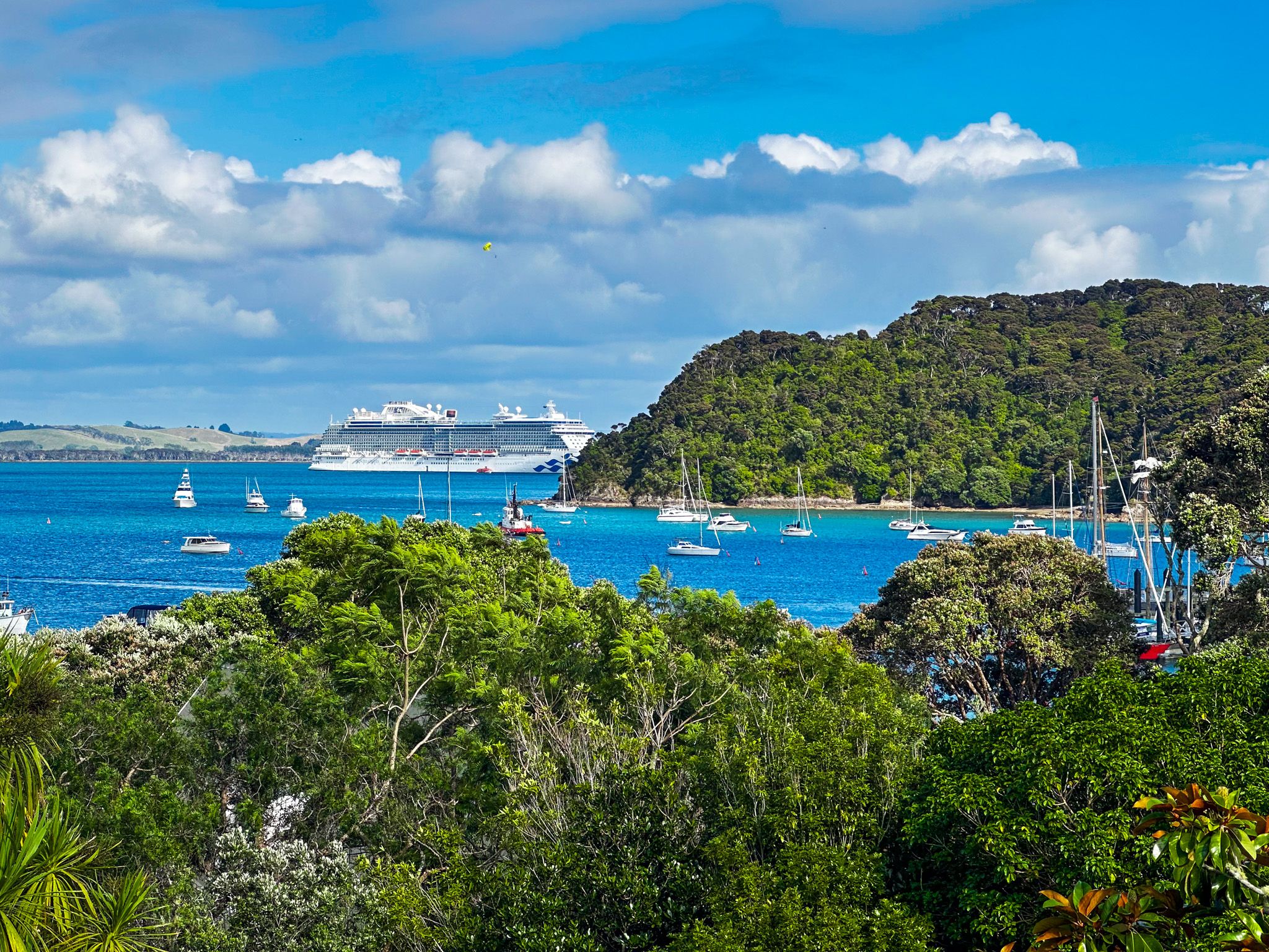
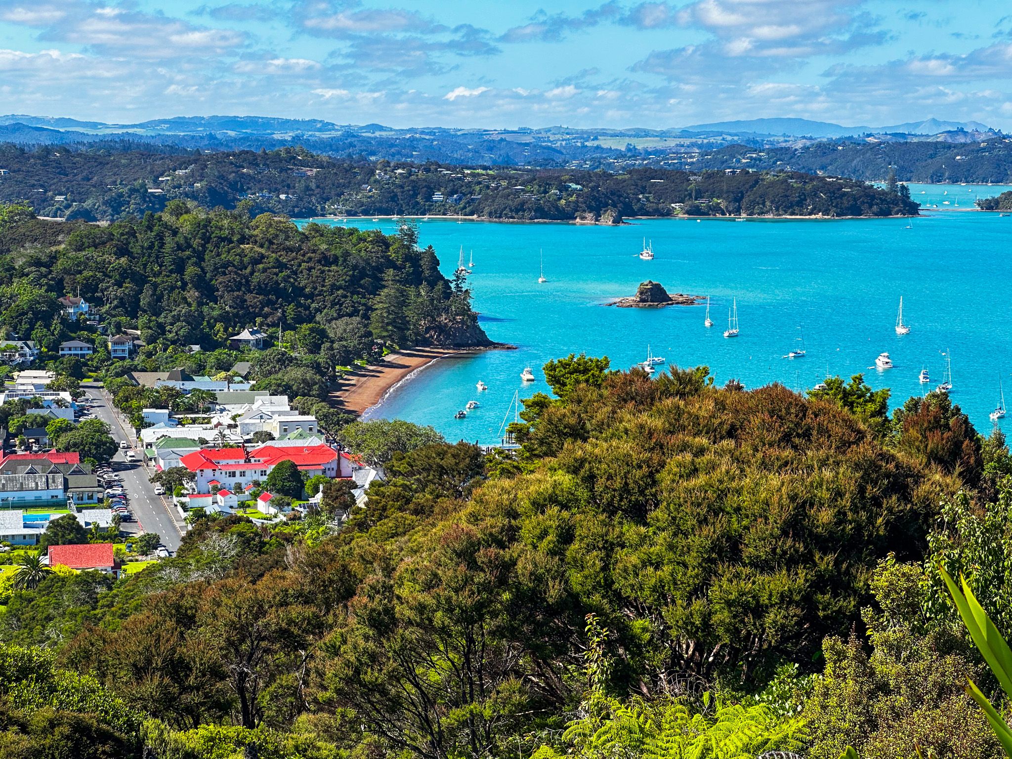
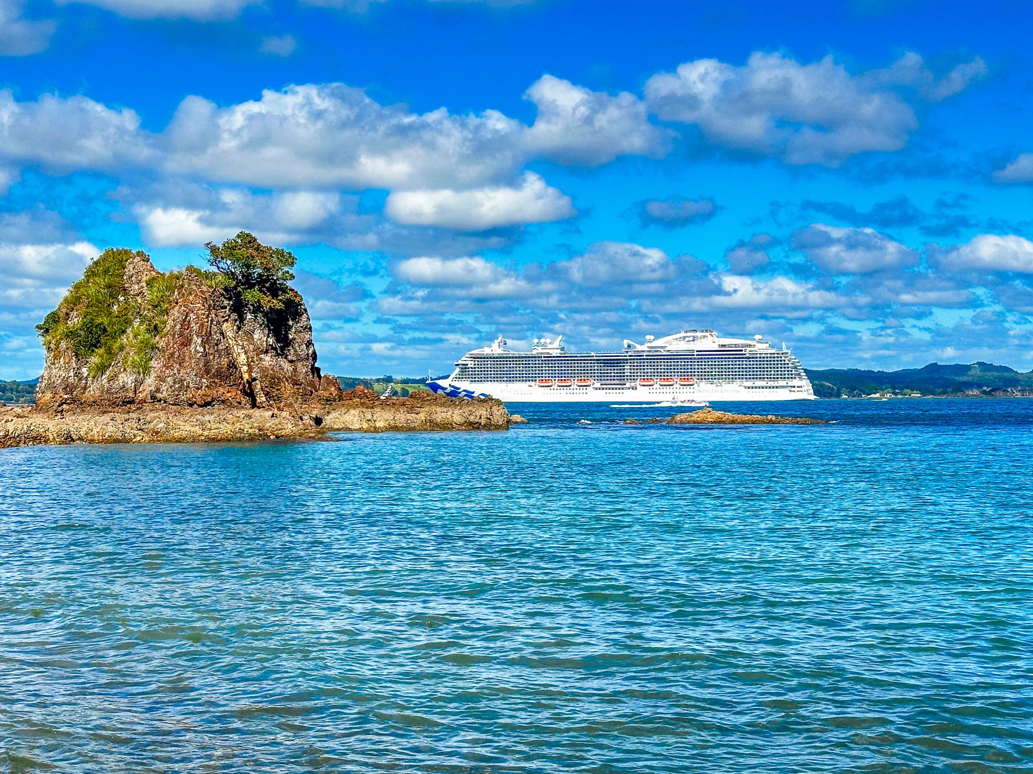
Russel is one of NZ's prettiest and most historic towns. Arguably, it is also one of the best locations to have a drink and meal overlooking a beautiful beach.
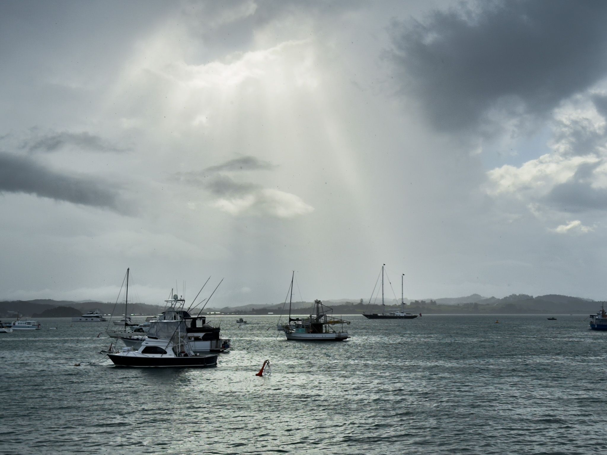
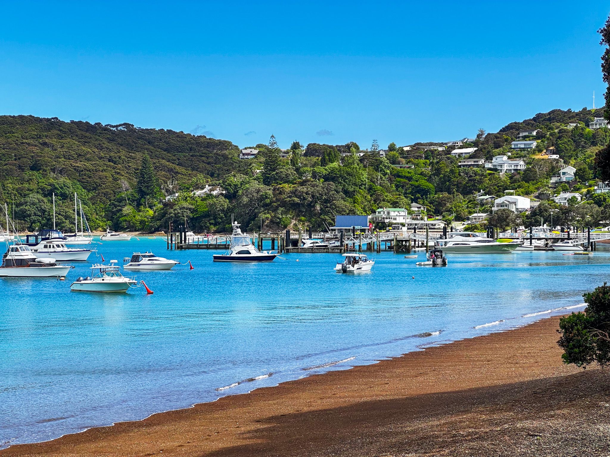
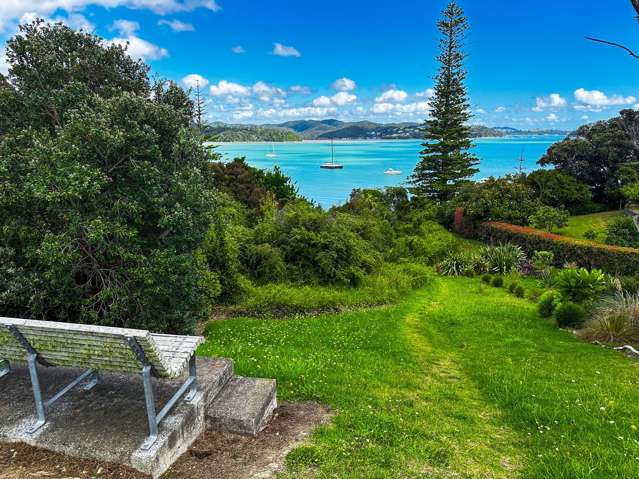
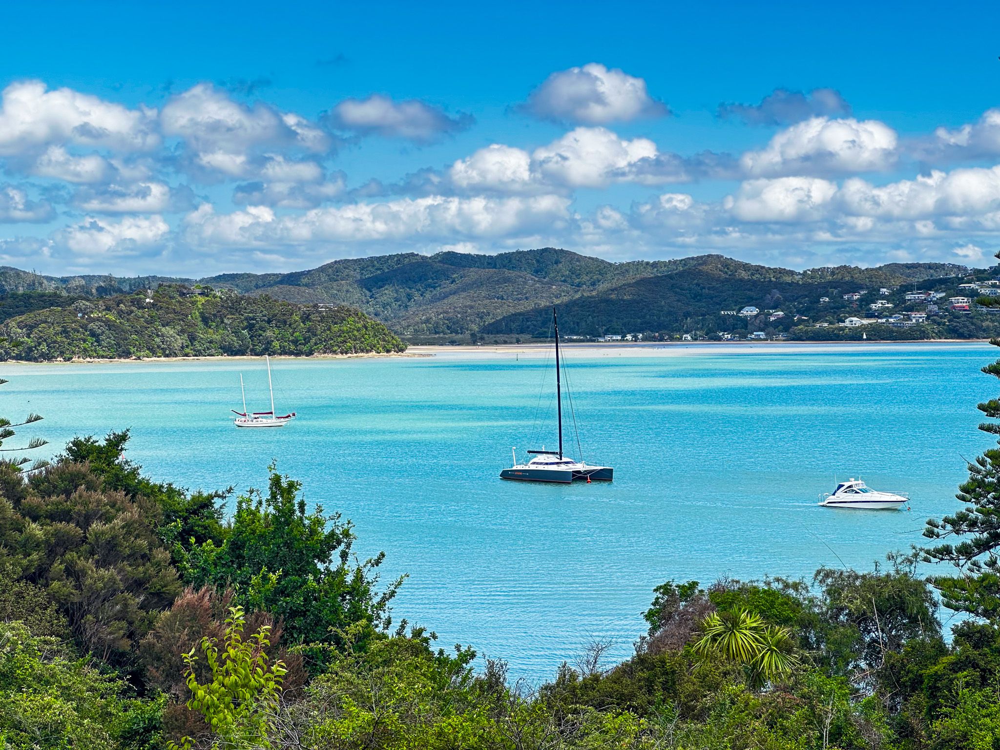
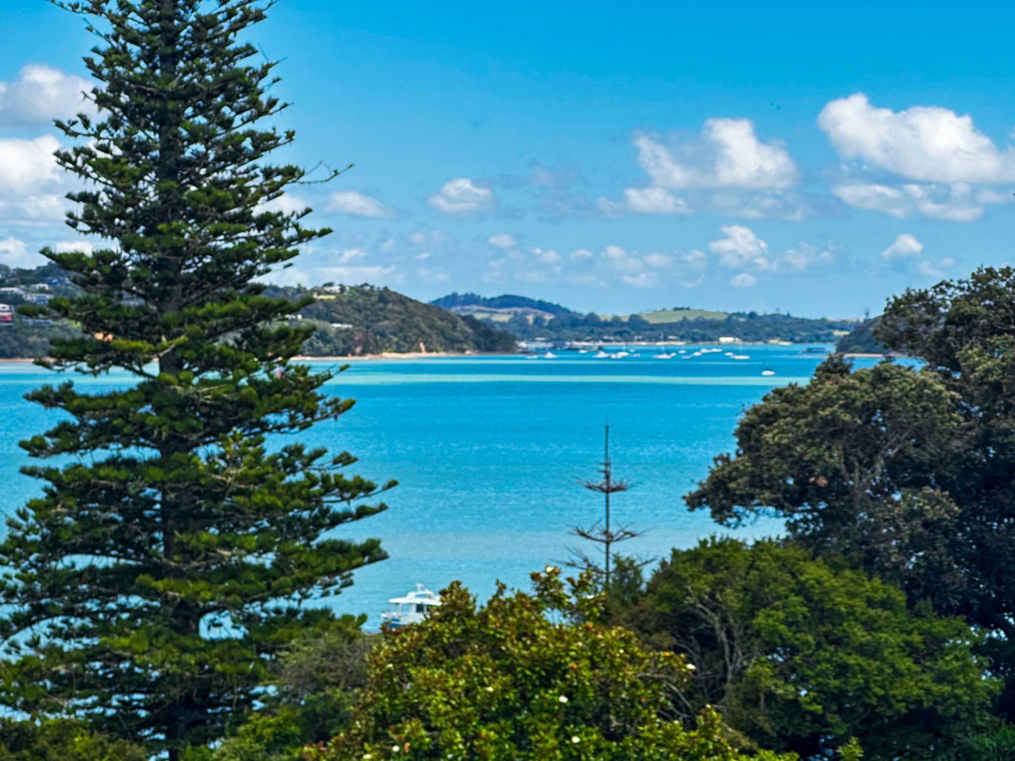
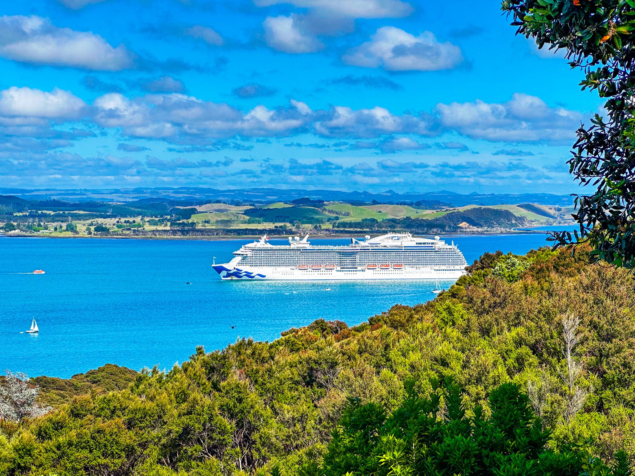
The town is on a rugged peninsula that points into the Bay of Islands. The Veronica Channel and Waikare Inlet run around the south side, and most of the large islands in the bay are to the northeast, between the peninsula and Cape Brett. To the west are Paihia and Waitangi. The town lies between Kororareka Bay and Oneroa Bay, with additional houses at Tapeka Point. There are other small communities to the south around Orongo Bay and at Okiato.
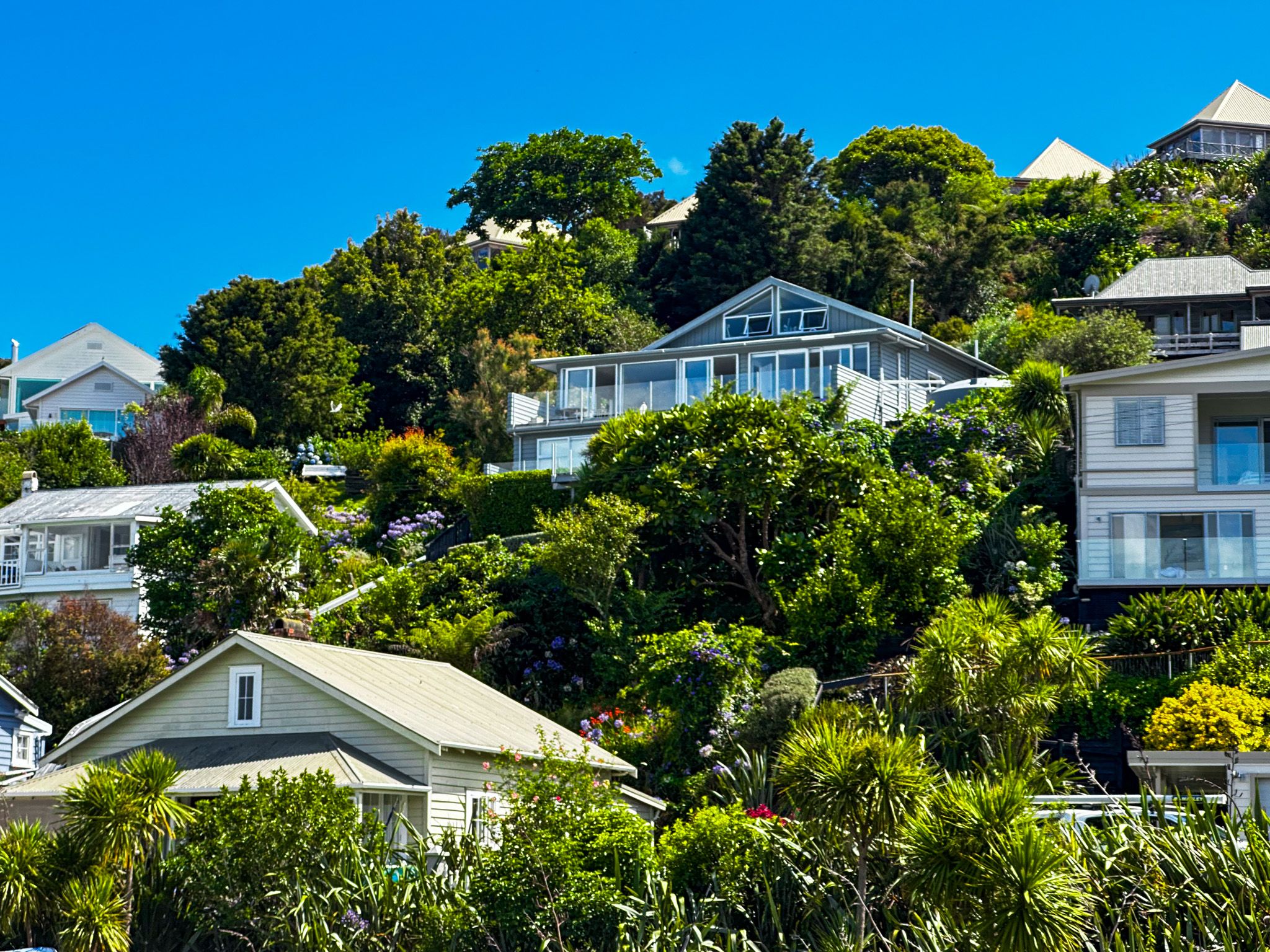
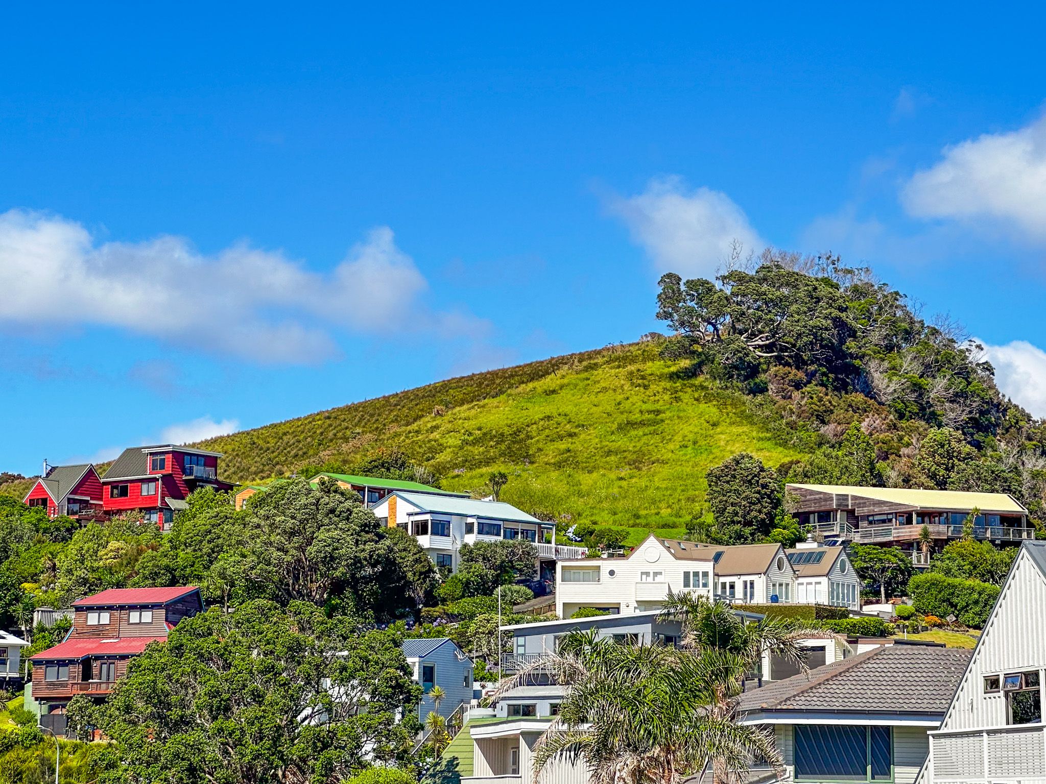
Despite its natural beauty, surrounded by forested steep hills and several beaches, the town retains a relaxed, small-town vibe, so long as you avoid peak holiday periods. The vibe probably reflects the relative hassle of getting there. The fastest way is from State Highway 11 by car ferry between Opua and Okiato, then a short drive north to Russell, or by ferry from Paihia if you are walking. Alternatively, it is a windy drive on Russel Road for 72 km, taking over an hour.
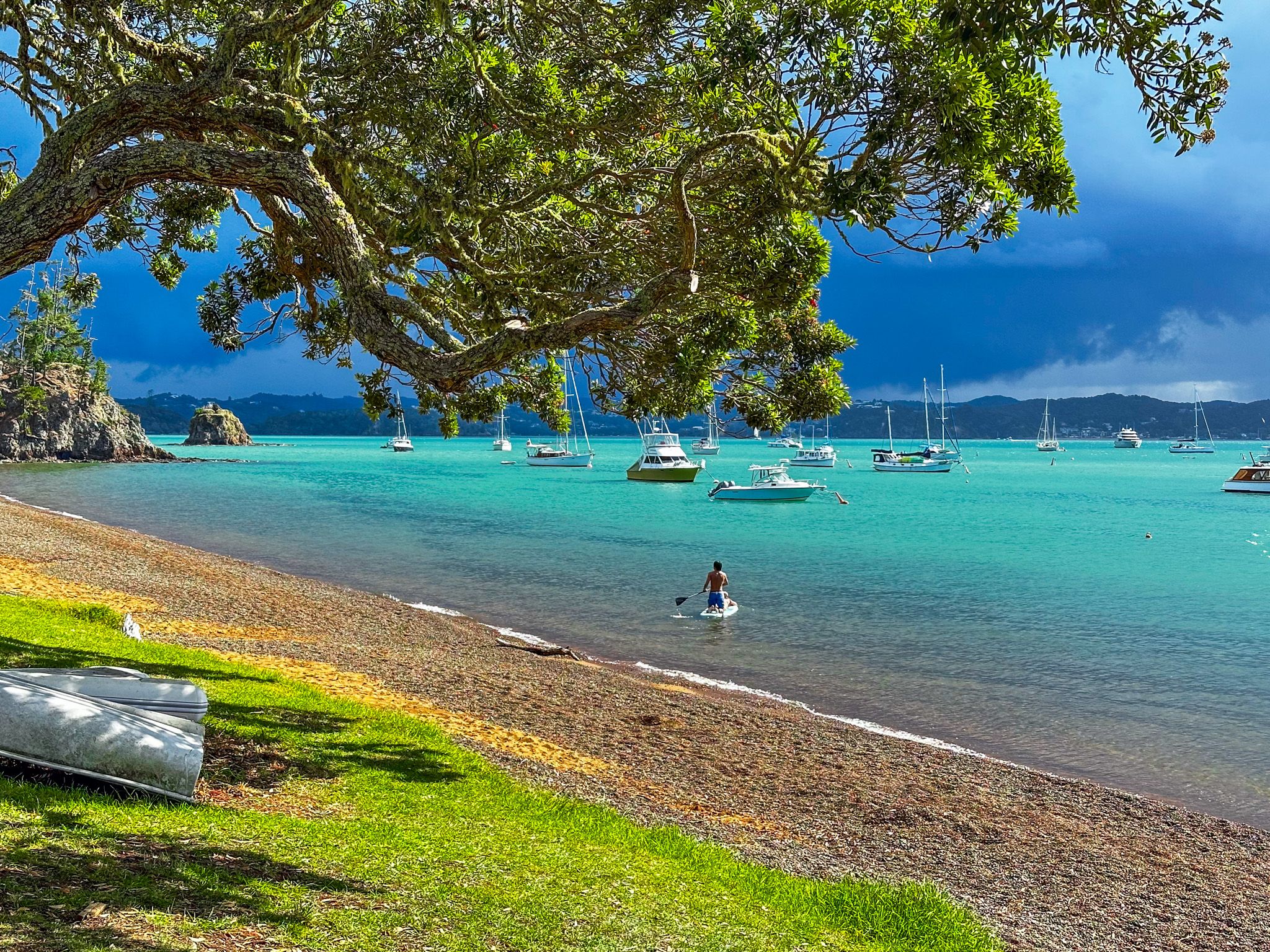
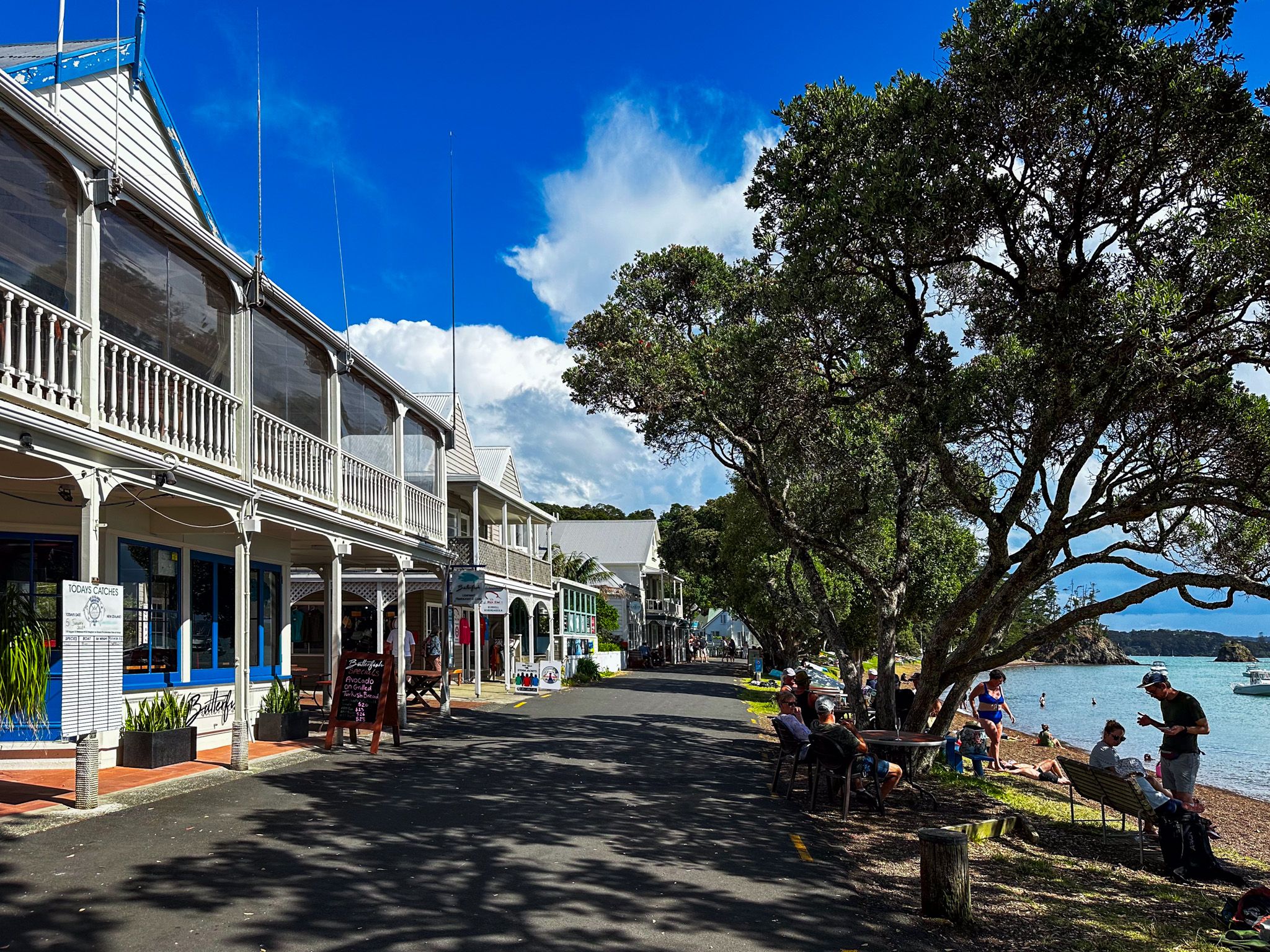
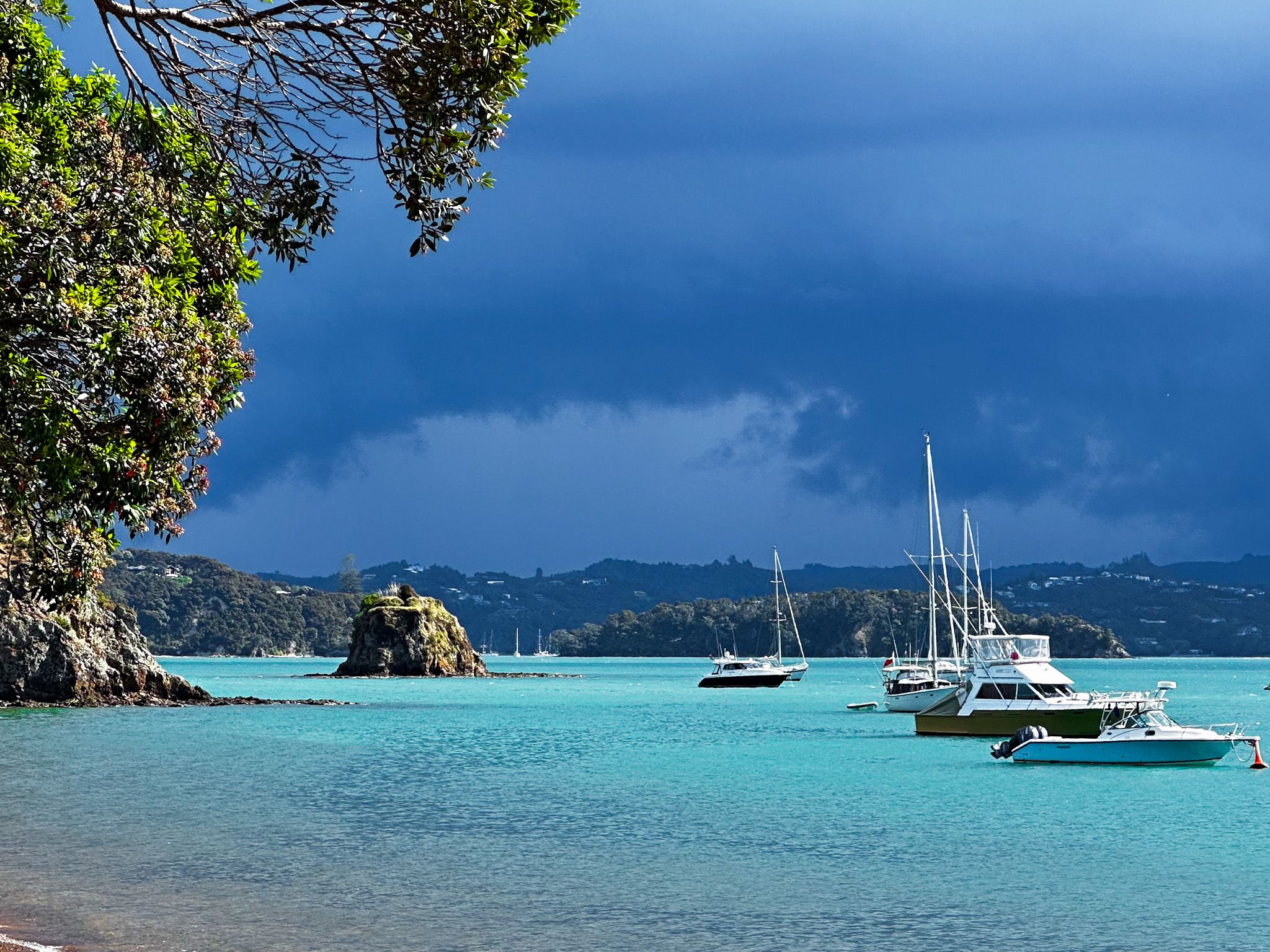
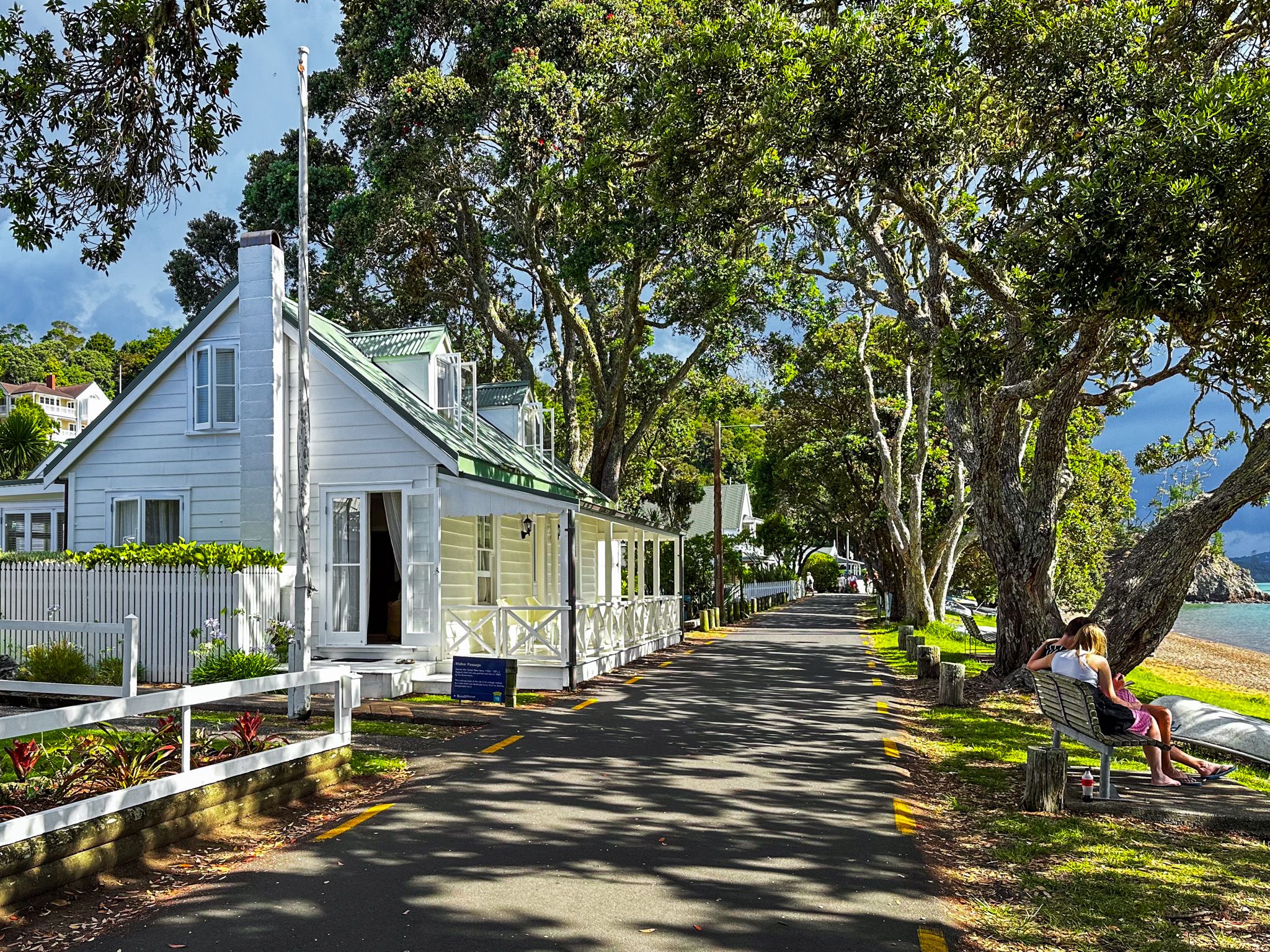
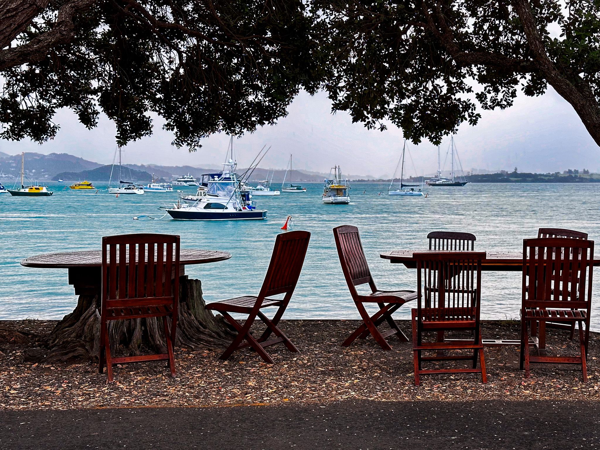
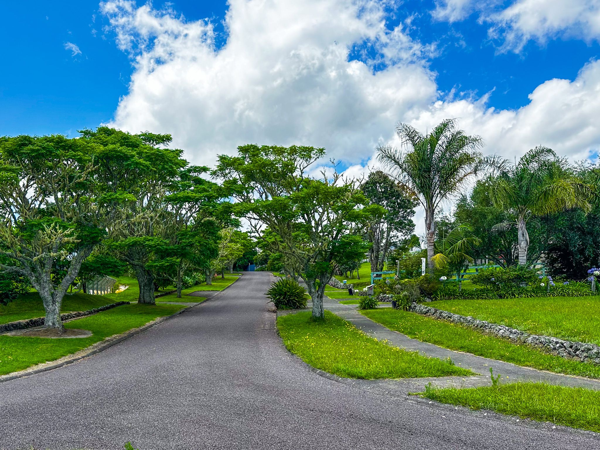
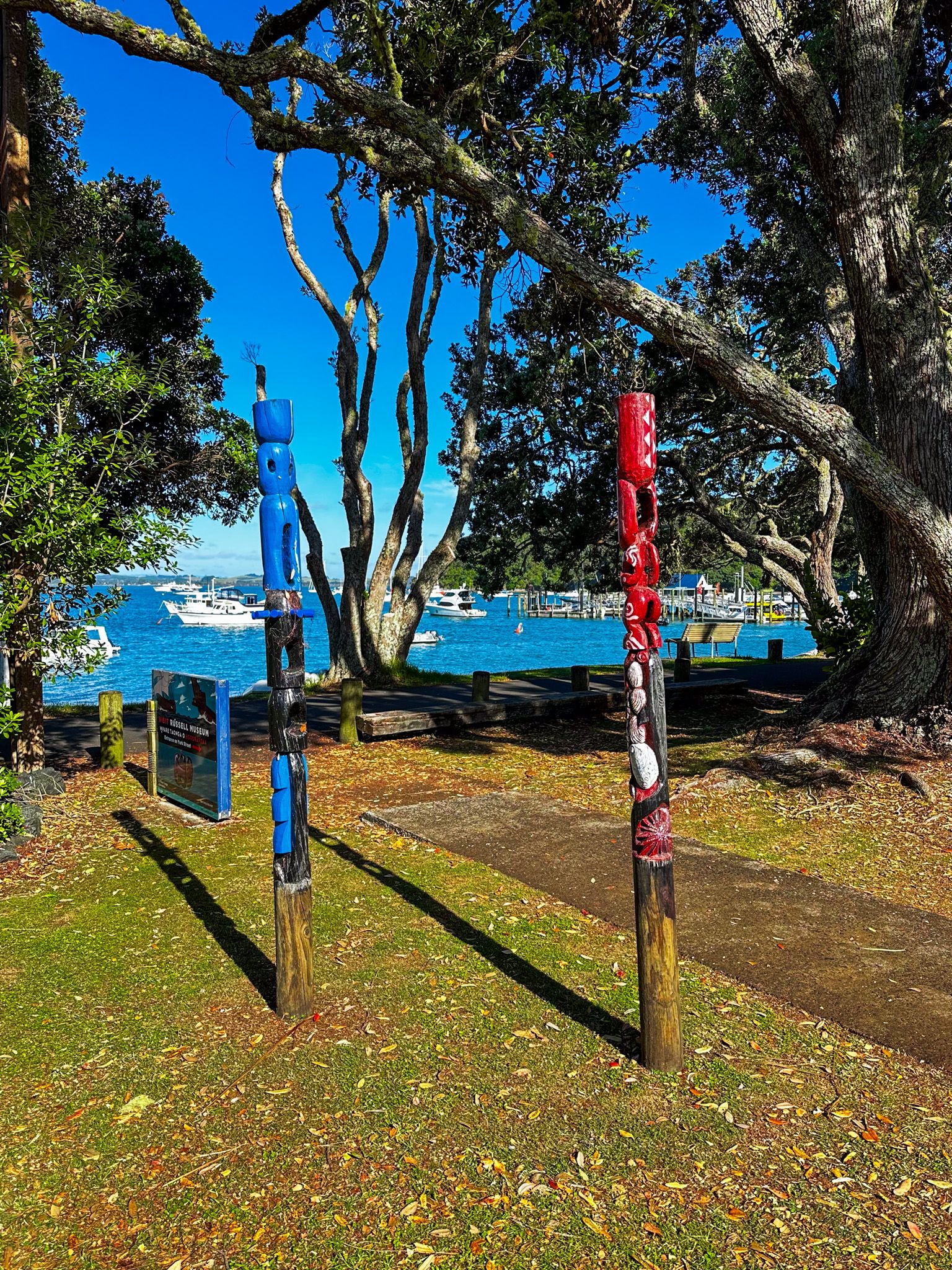
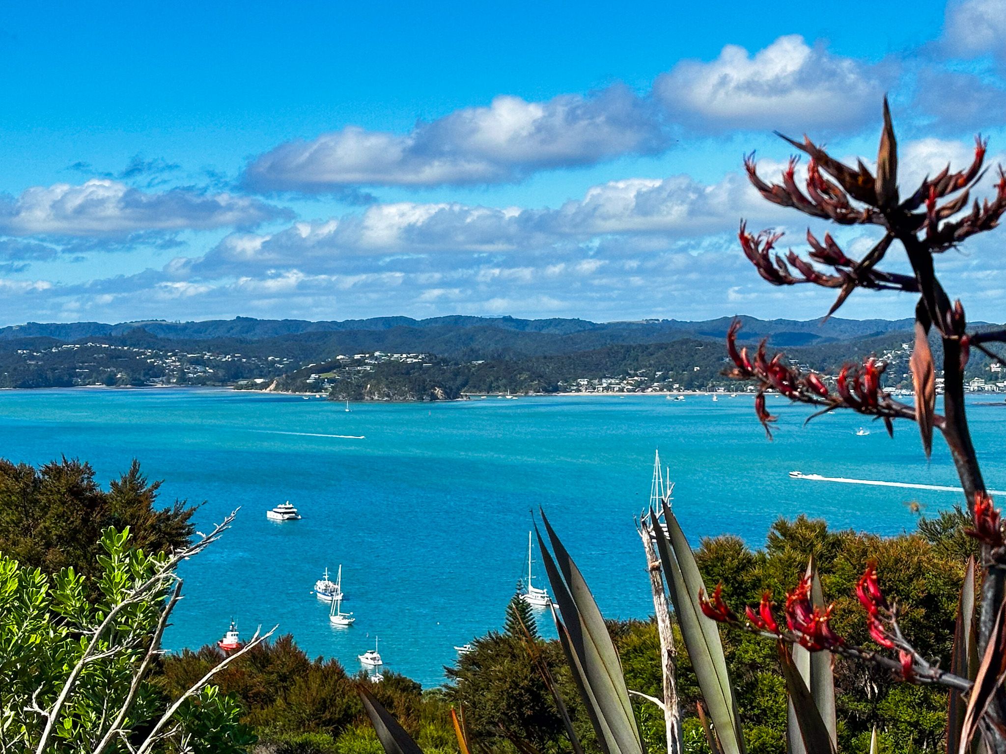
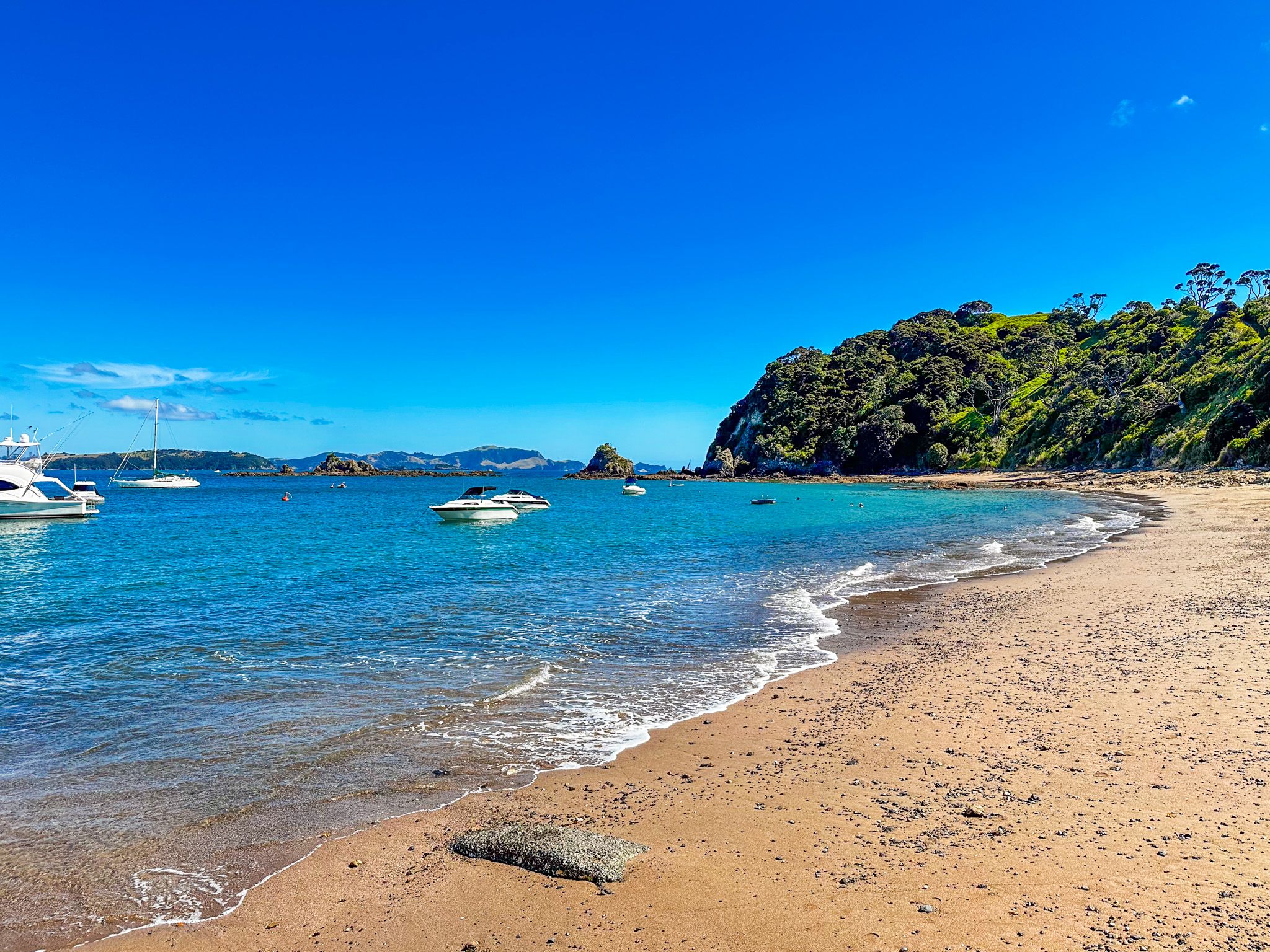
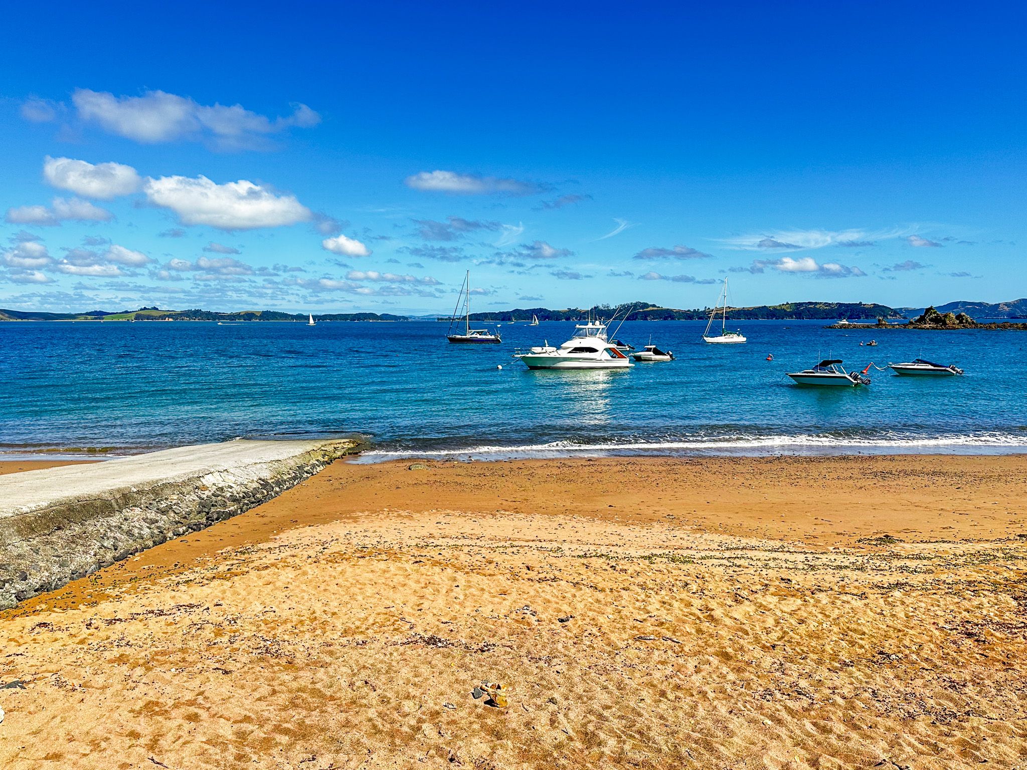
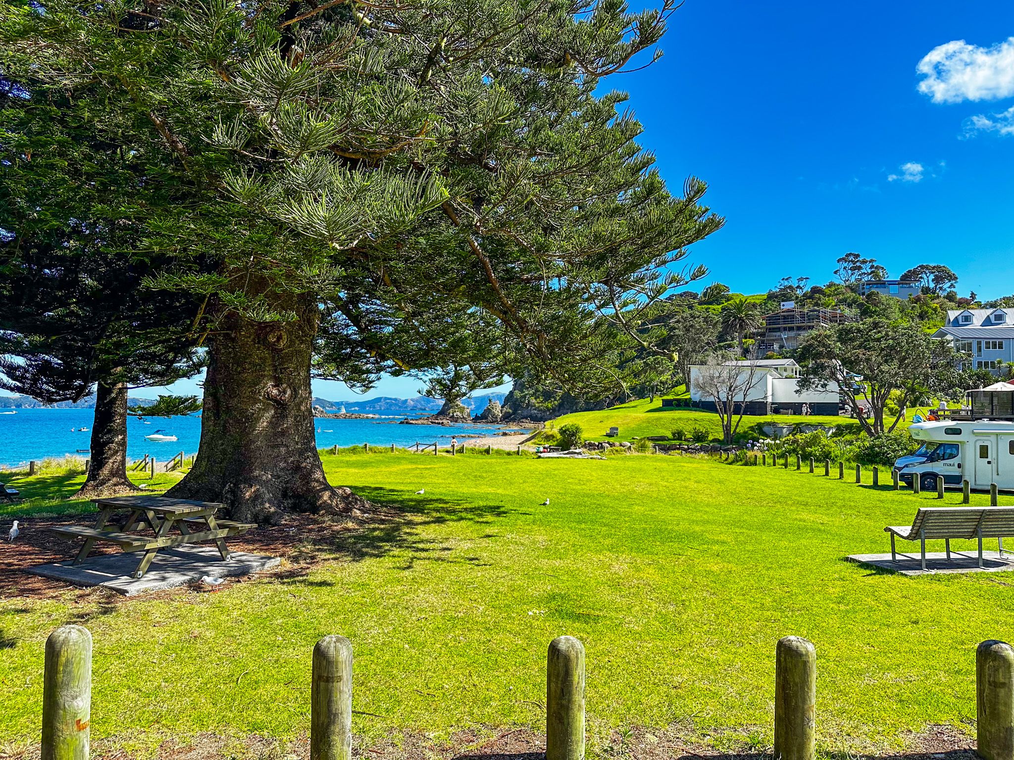
Once in Russell, there is plenty to do, much of it within walking distance. The waterfront has several well-maintained historic buildings that date back to the 1830s and 1840s, including some of the oldest hotels and restaurants. A shared path is between these buildings and the beach at Kororareka Bay. You can access numerous tourist options and the ferry to Paihia from the wharf halfway along the path. Mature pohutukawa trees fringe the edge of the path and the beach and provide shelter for seating provided by cafes and restaurants.
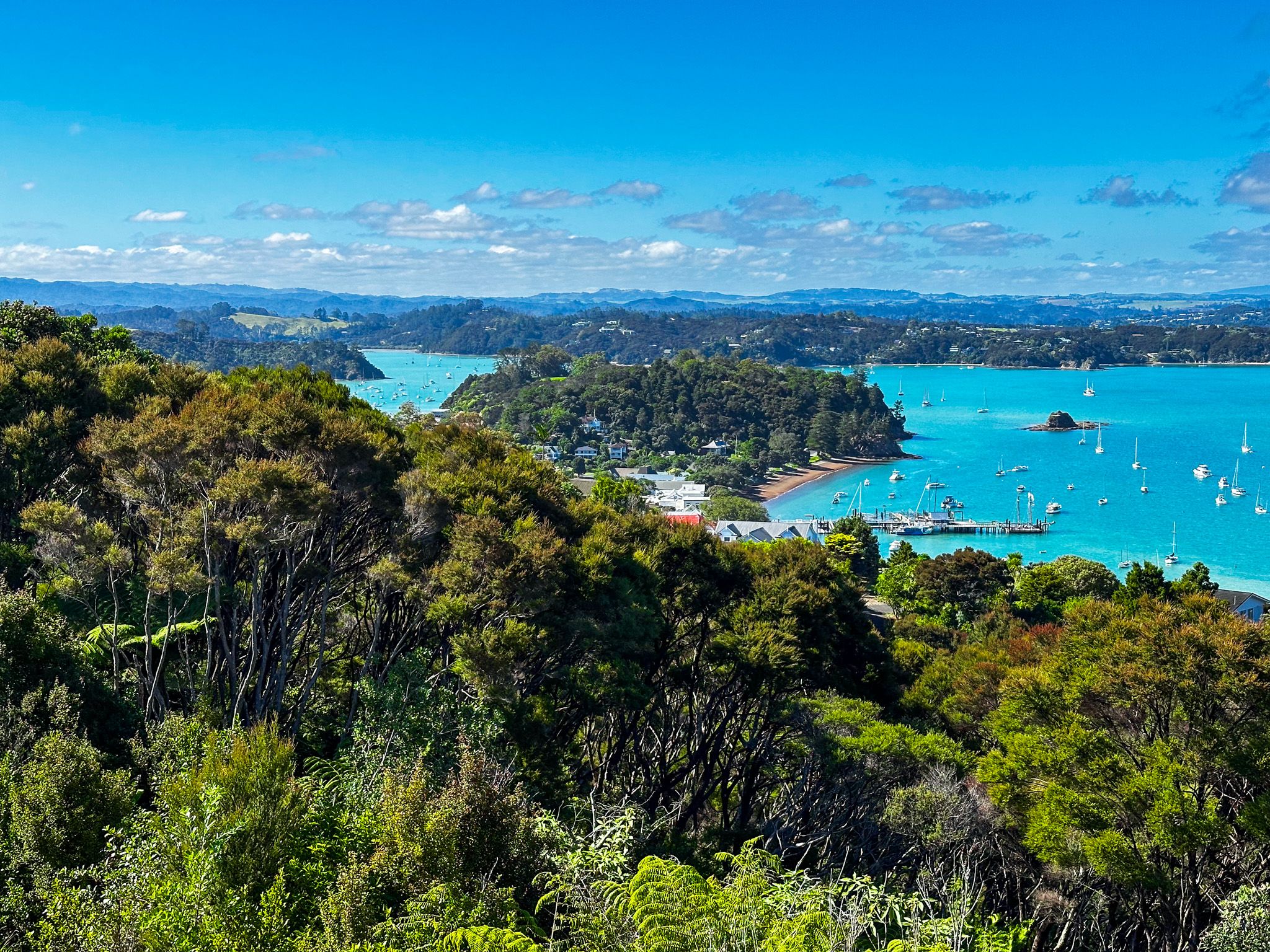
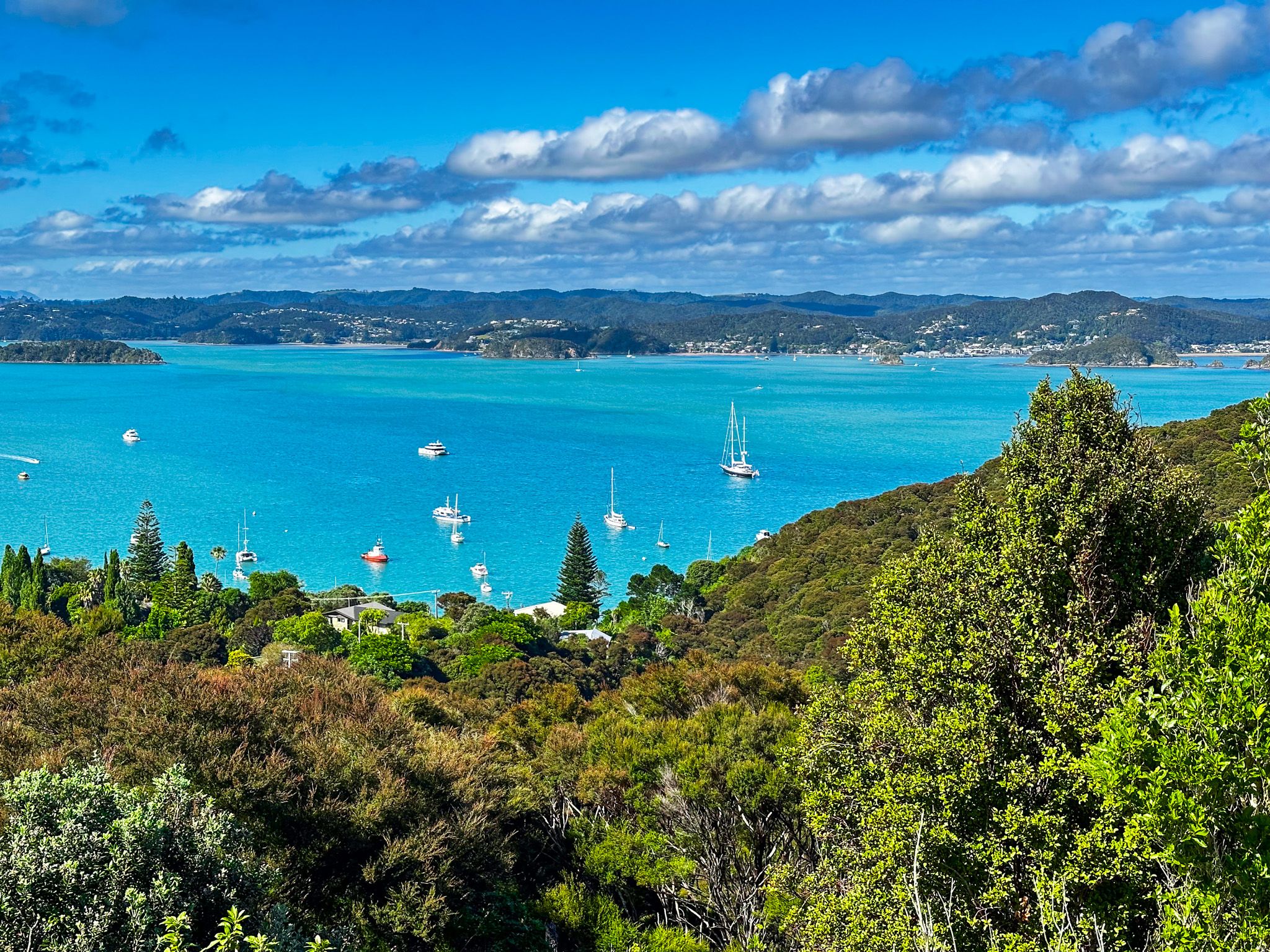
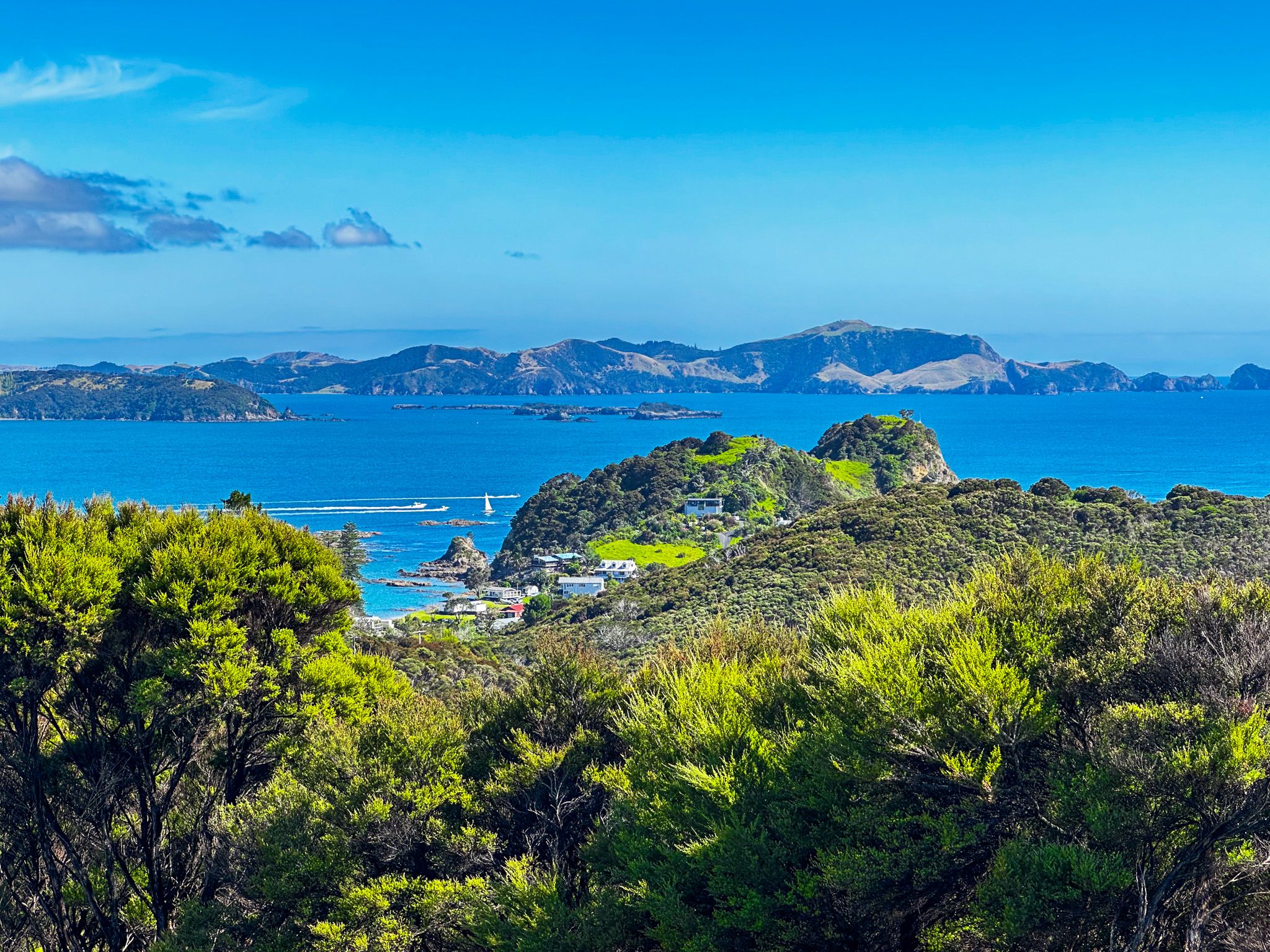
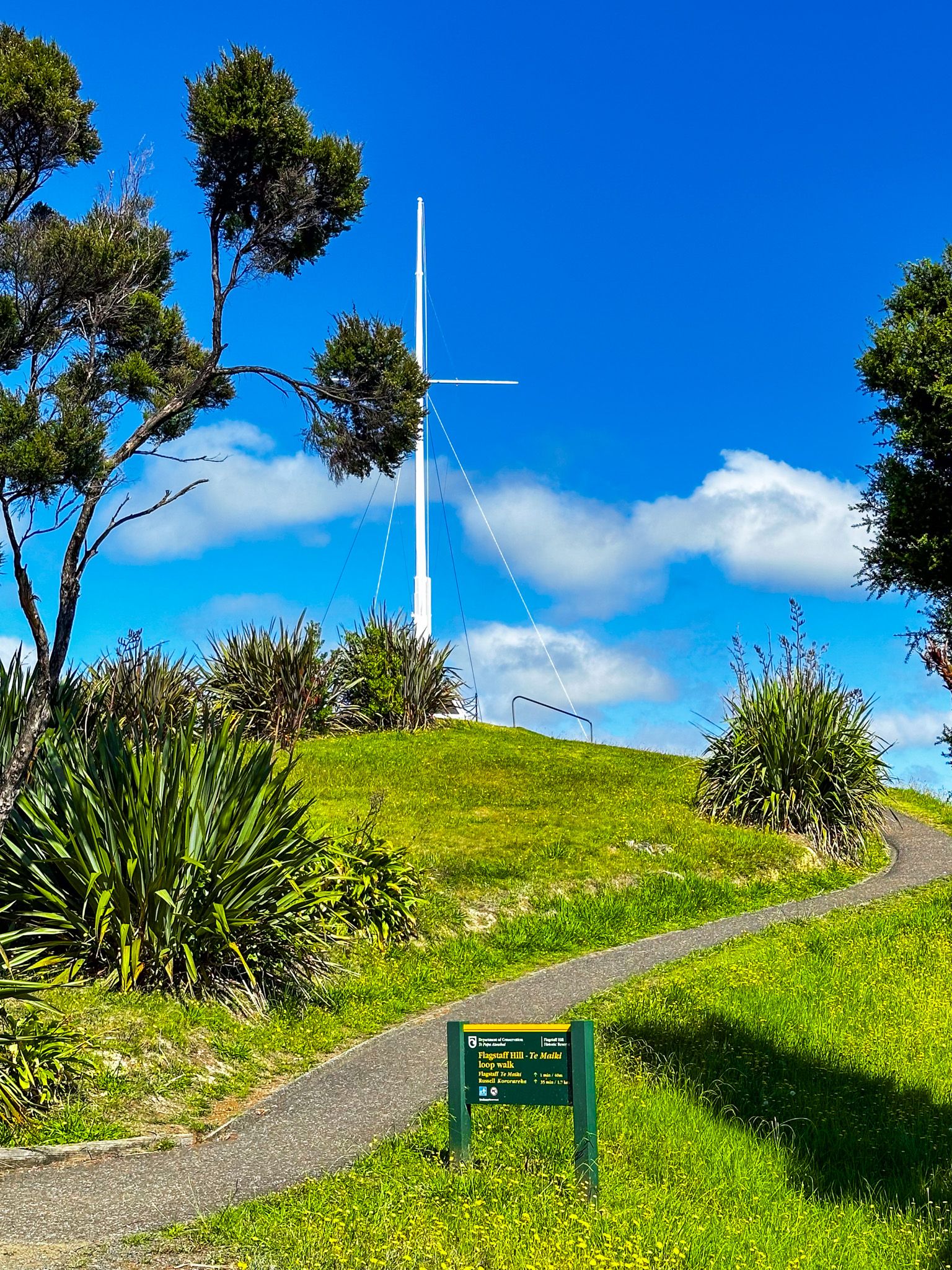
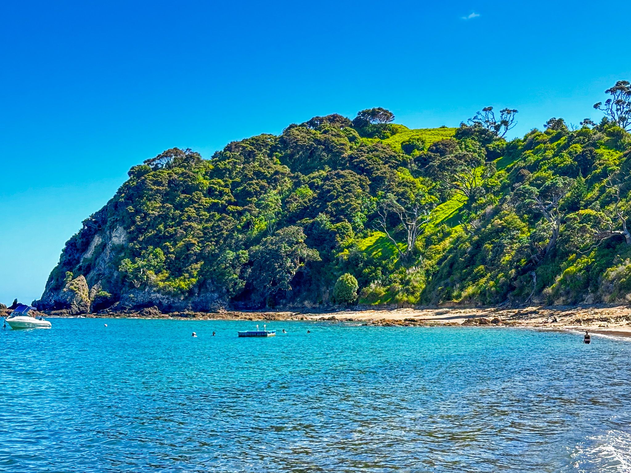
From the beach, you can walk to the fantastic views at Te Maiki (Flagstaff Hill). Going further north to Tapeka Point, there are two contrasting beaches - Tapeka Beach, with white to golden sand and Rocky Bay, which is stony with numerous rock pools. You can also access the short but spectacular Tapeka Track to historic Tapeka pā right on the tip of the steep-sided point. Heading northeast from the town centre takes you to Oneroa Bay, a longer, beautiful sandy beach.
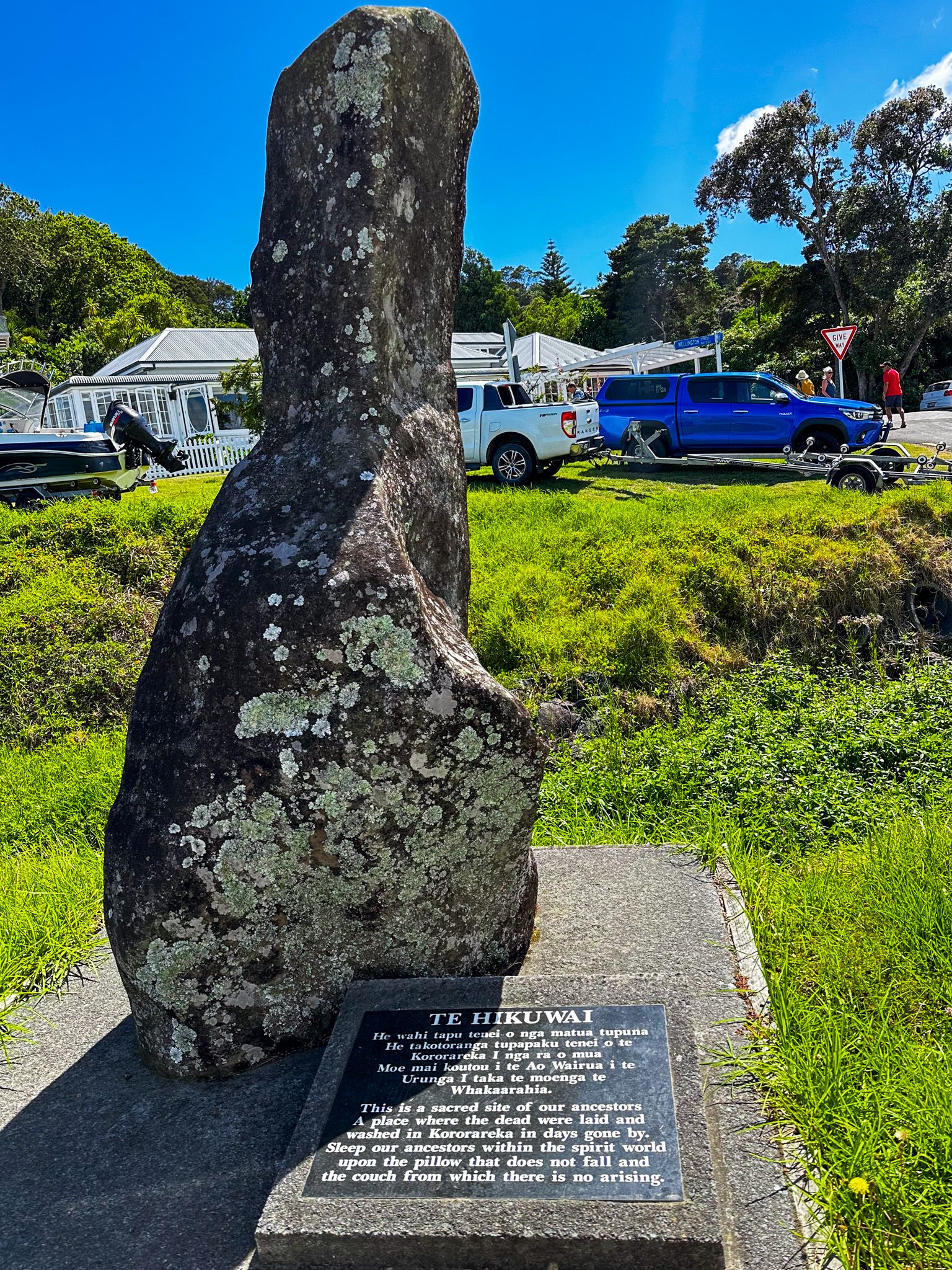
To the south of the town, you can also visit Okiato, the capital of NZ, immediately after the signing of the Treaty of Waitangi. The first government buildings were there, although all that remains is an old well and some signs in a grassy reserve.
Russell is perfect for staging a road trip around the northeast of the Bay of Islands, with the road going as far as Rawhiti. From Rawhiti, you can access the full-day challenging hike to remote Cape Brett with an overnight stay in a DOC hut. You can book a water taxi back as an option. Alternatively, head east along the roads that more or less follow the coast to Helena Bay and Mimiwhangata, one of Northland's most remote drives to one of the most remote beach campsites.
Historic Russell
Māori had long settled the region, reflecting the food resources and fertile soil. They called it Kororāreka, which translates to “sweet blue penguin”’, which arose from a tasty penguin broth consumed by an ailing chief.
The earliest European explorers, James Cook in 1769 and Marc-Joseph Marion du Fresne in 1771 visited the area and noted its prosperity. Du Fresne’s visit ended badly. Despite initially friendly relations with local Māori, he and 25 members of his crew were massacred, possibly for a breach of tapu. The surviving French sailors killed 250 Māori in retaliation, an early demonstration of the power of guns.
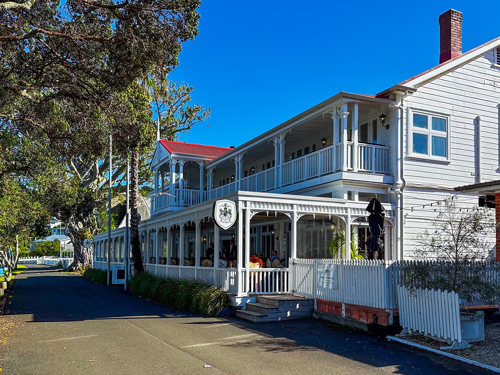
The event put Europeans off for a while, but from the early 1800s, sealing and whaling ships from Europe and America started to arrive regularly, and the Bay of Islands quickly became a staging point. Local Ngāpui, led by Hongi Hika, saw the advantages of trading with the tauiwi (foreigners) and Kororāreka, supported by local Māori, developed into the first real town with European settlers and businesses to support the whalers and developing trade. Māori supplied food, timber and prostitution and received guns and other European goods. The first version of NZ’s oldest pub, the Duke of Marlborough Hotel, was built in 1827, and by 1835, Christ Church, the oldest church in NZ, was added. Interestingly, Charles Darwin visited around this time and personally contributed to the building cost.
The town was famously lawless as it developed, earning the moniker from Bay of Islands missionaries as the "Hell Hole of the Pacific". Darwin described it as a “stronghold of vice” and saw Christ Church as a “bold experiment”! European law was non-existent, and Māori left people within the town to their own devices. In 1830, the Girls' War between subtribes within Ngāpuhi broke out on the beach in front of the town following the exchange of insults between a group of young high born Māori women competing for the attention of a ship captain, William Darby Brind. In fighting on the beach, over 100 Māori warriors were killed, and the dispute merged into the broader Musket Wars for the next eight years.
Better control of European conduct was a significant driver of the arrival of the first British-appointed NZ Resident, James Busby, at Waitangi in 1833. He proposed and encouraged Northern Māori to sign the Declaration of Independence of the United Tribes of New Zealand (He Whakaputanga o te Rangatiratanga o Nu Tireni) in 1835. Part of the drive for the declaration was fear of possible French claims of sovereignty over NZ.
By 1840, Kororāreka was small but the most significant European town in NZ. The first British governor, William Hobson, proclaimed his status there and announced the upcoming Treaty of Waitangi. The treaty was signed in Waitangi the following week, and NZ needed a capital. Hobson chose Okiato, seven km south of Kororāreka, and renamed it Russell after the British Secretary of State for the Colonies, Lord Russell. However, Hobson quickly decided that Auckland was a better option, and Russel/Okiato was deserted. In January 1844, a new governor, Robert FitzRoy, designated Kororāreka as part of the township of Russell, and the name Kororāreka now only applies to the bay in front of the town centre.
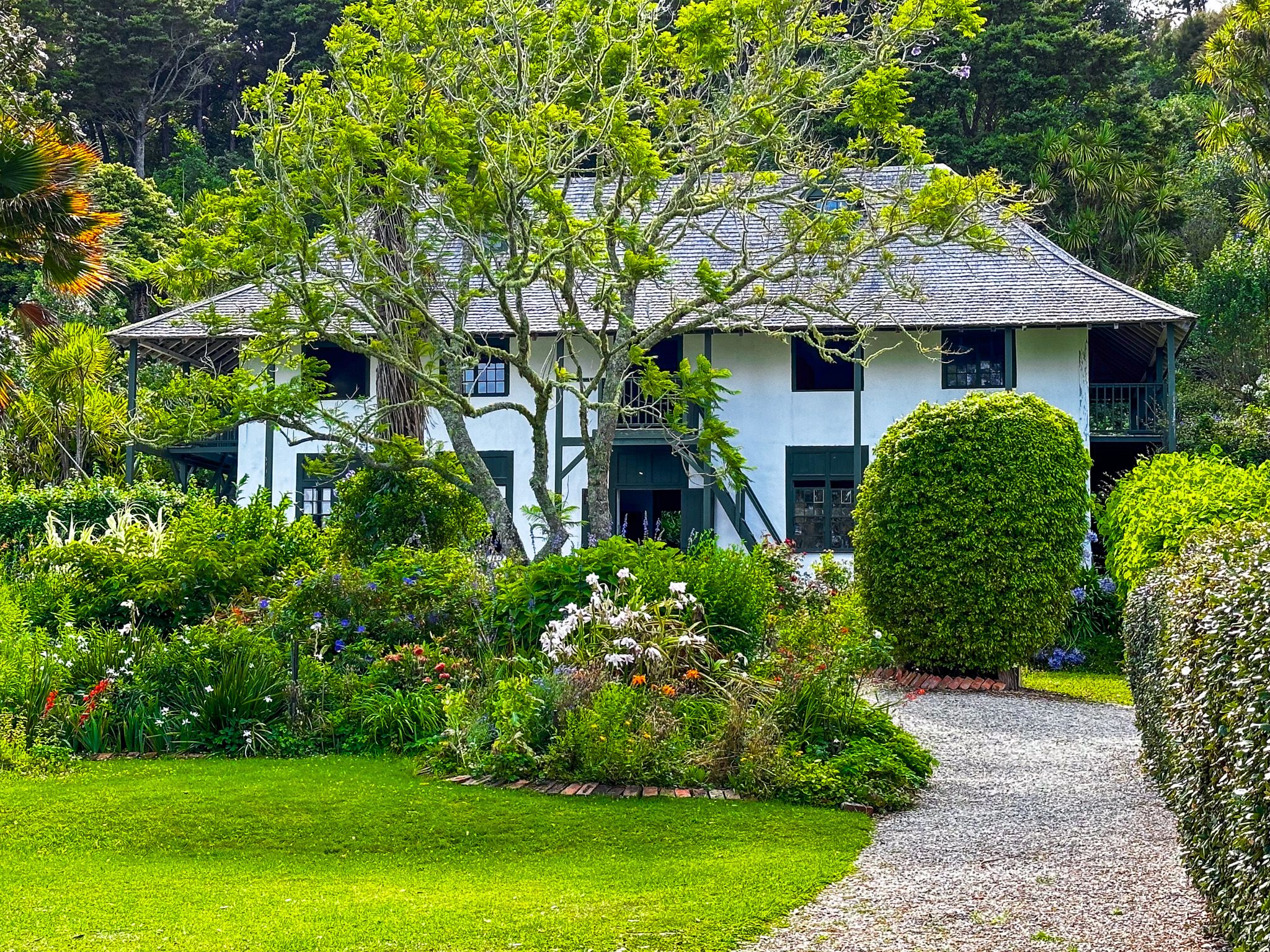
Until the 1840s, the Anglican Church Missionary Society dominated missionary activity in the Bay of Islands. In 1841–42, Jean Baptiste Pompallier established a Roman Catholic mission with a printing press to produce Māori language bibles. You can visit the buildings and gardens at the south end of Kororāreka Bay.
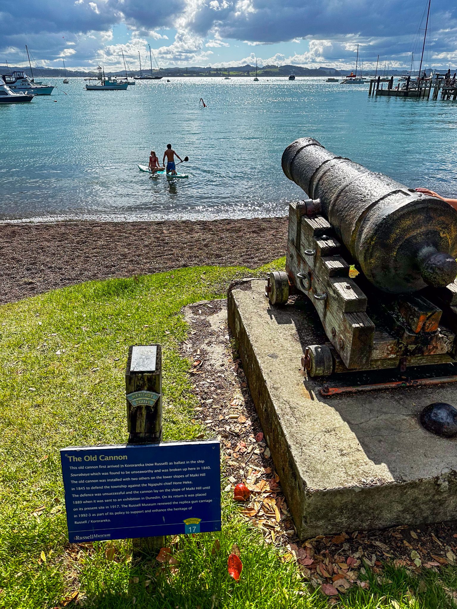
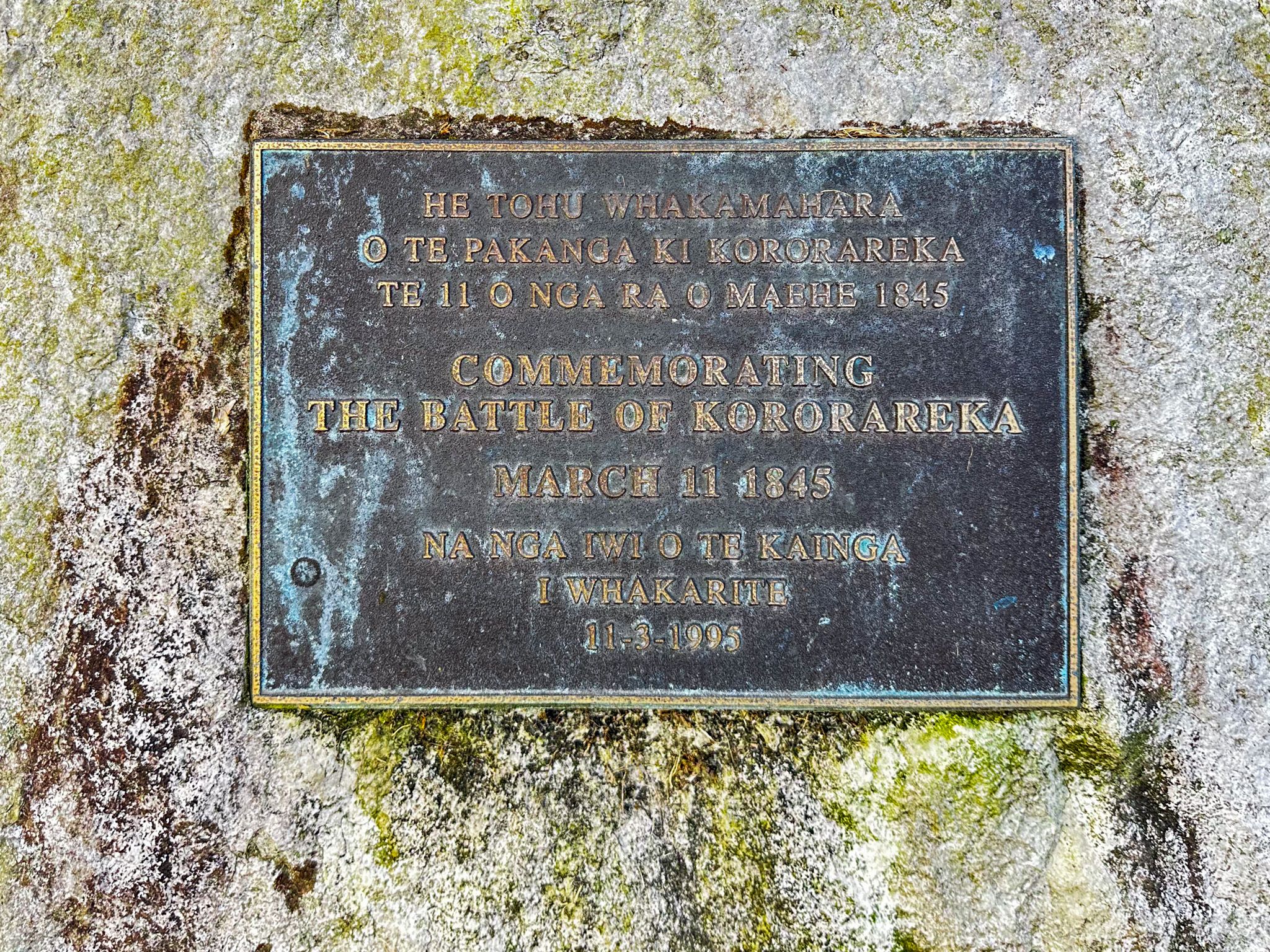
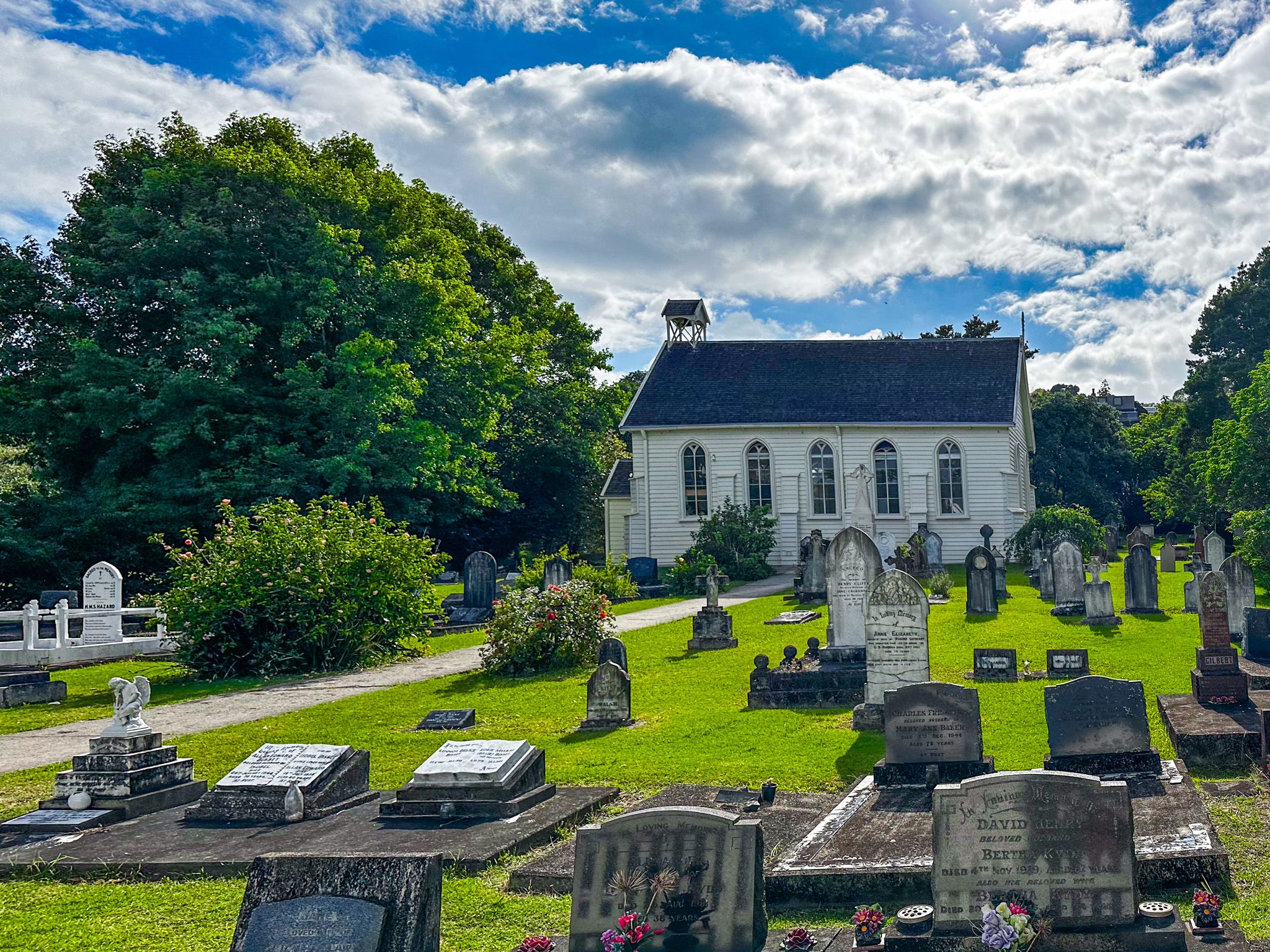
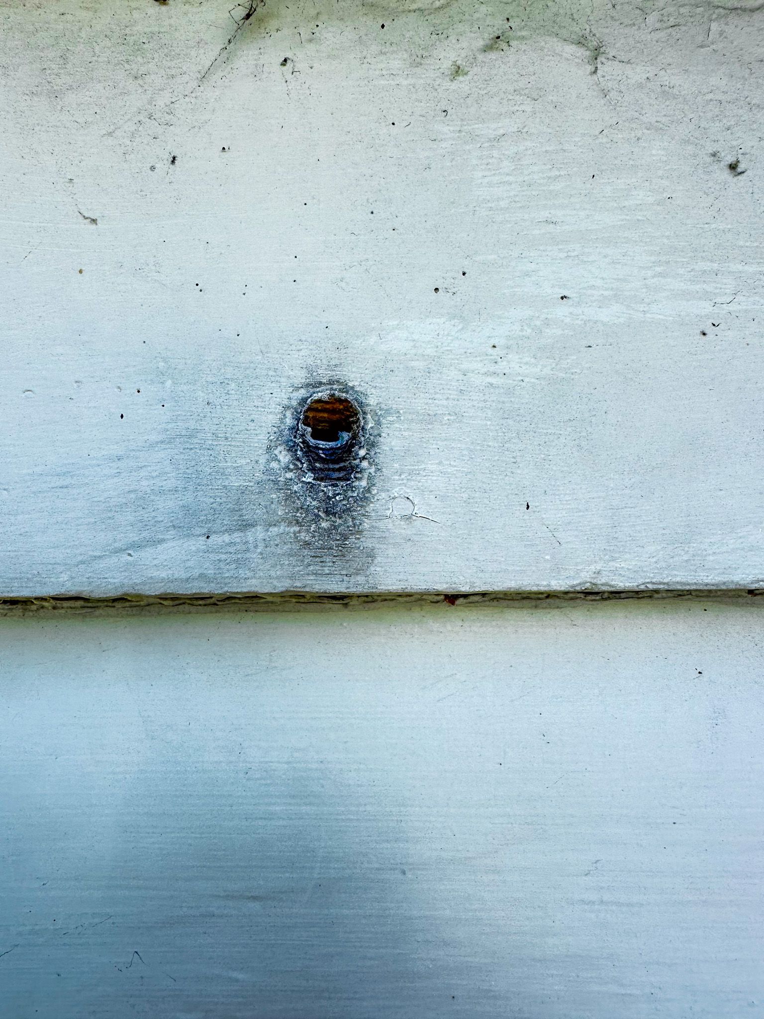
The Flagstaff War, the first of the several wars between Māori and the new government, also started near Kororāreka. Ngāpui, led by Hōne Heke, protested government tax policies and the move of the capital to Auckland that negatively impacted the iwi. A new British flagstaff on nearby Maiki Hill was repeatedly cut down as a protest, leading to war in 1845. There were several significant battles around the region. Still, the Battle of Kororāreka led to the destruction of most of the town’s buildings, including the Duke, following the evacuation of the locals and shelling by a British ship. Christ’s Church and Pompalier Mission survived, but you can easily find bullet holes on the side of the church today.
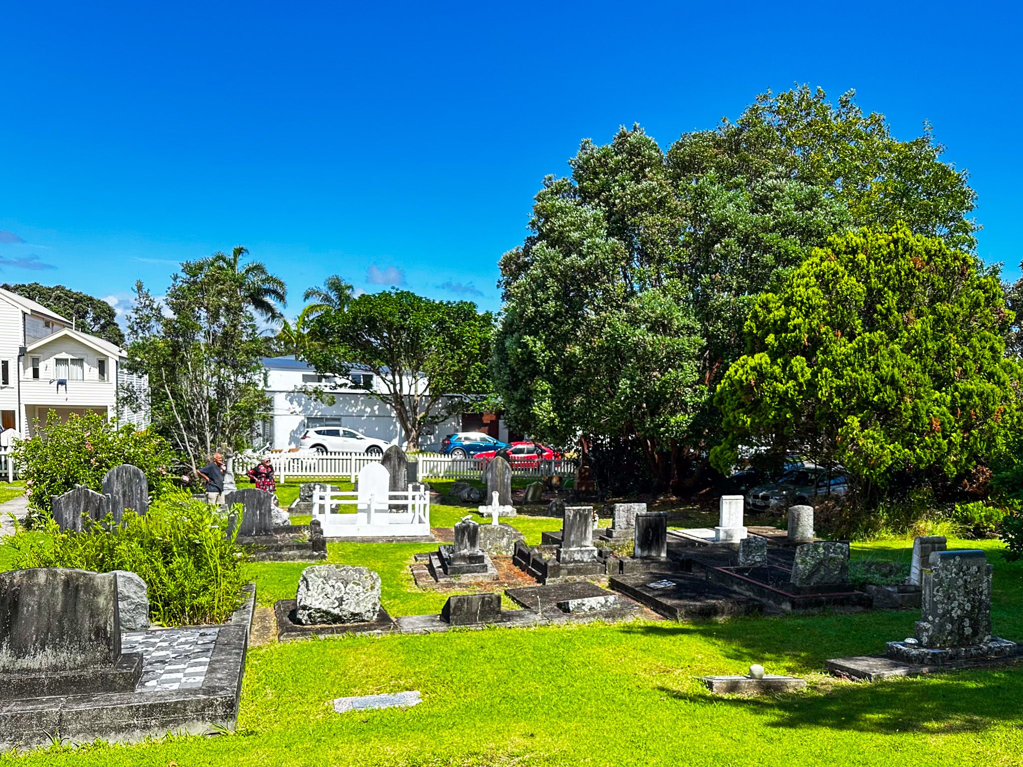
The church graveyard is also historic. The original sale of land by the iwi to support the church required equal burial rights for Europeans and Māori. Historic graves include Tamati Waka Nene, one of the first to sign the Treaty of Waitangi, Hannah King Lethbridge, the first European woman born in NZ, and some who fell in the Battle of Kororāreka.
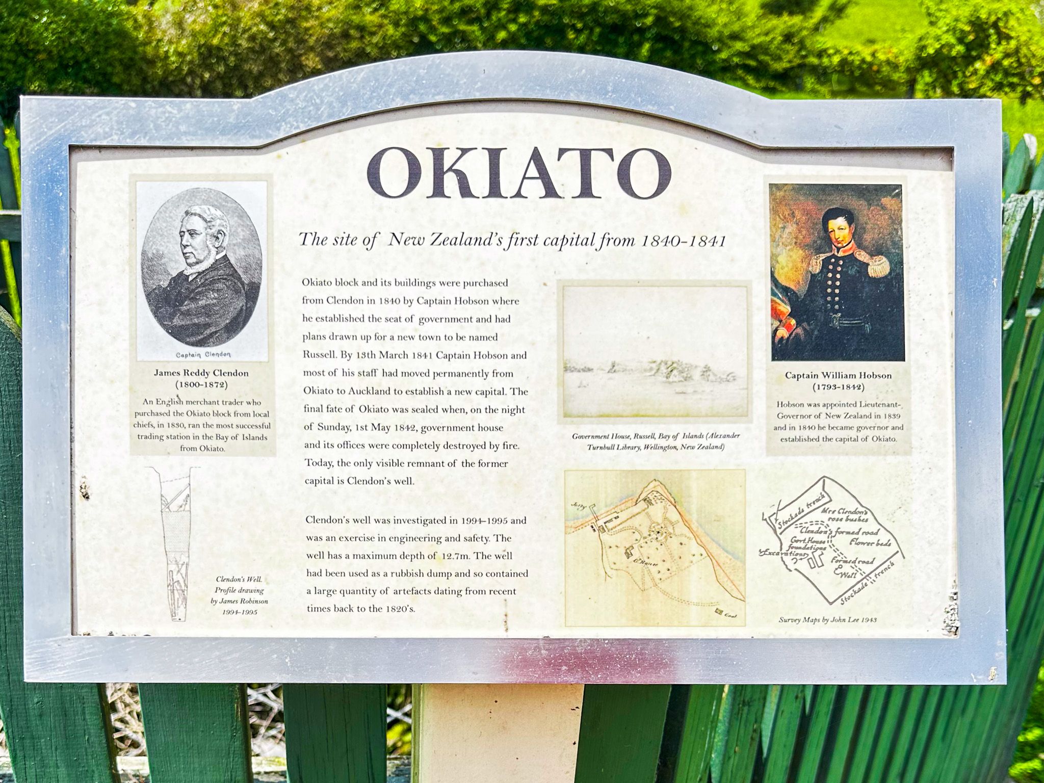
Okiato
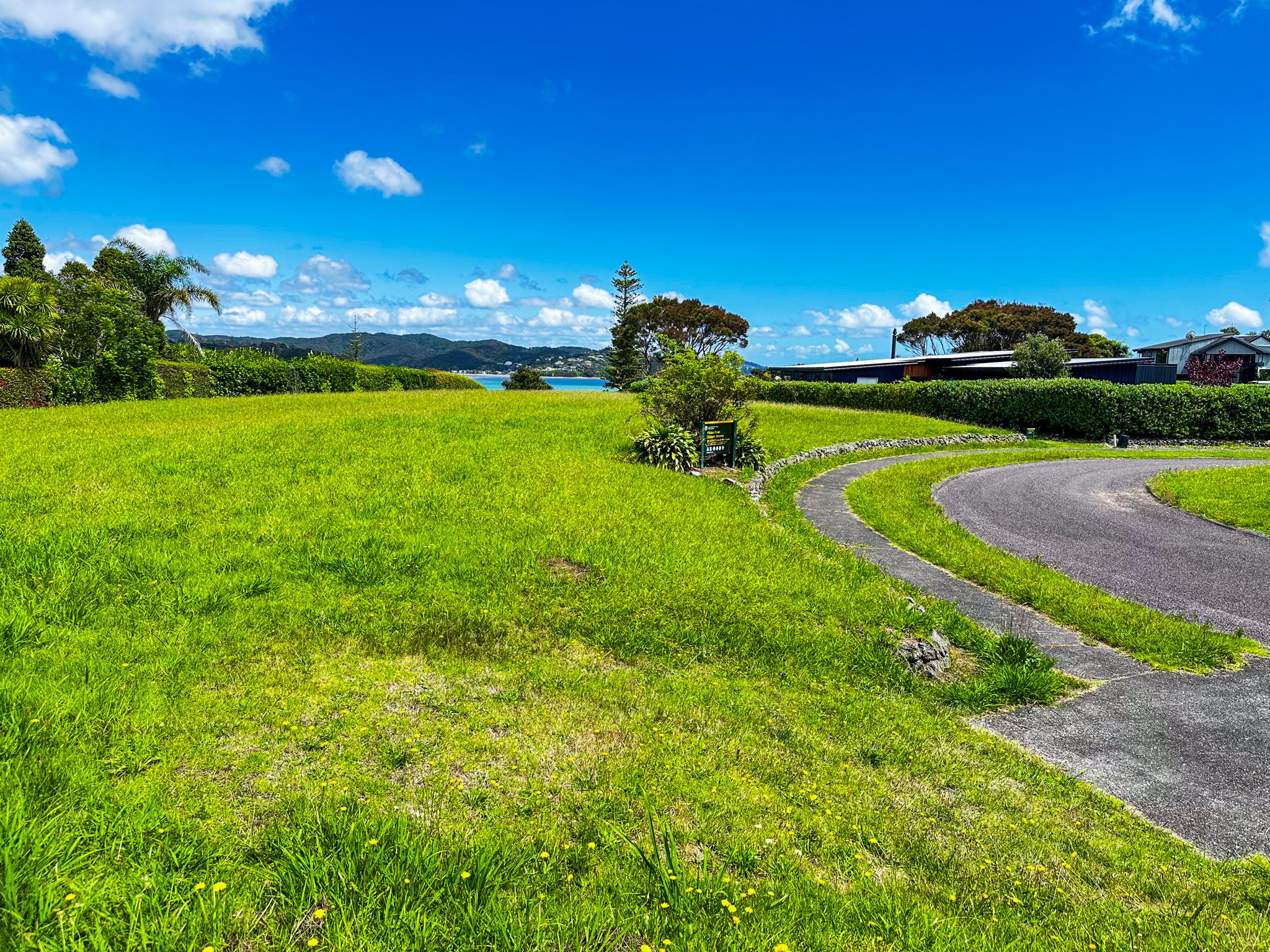
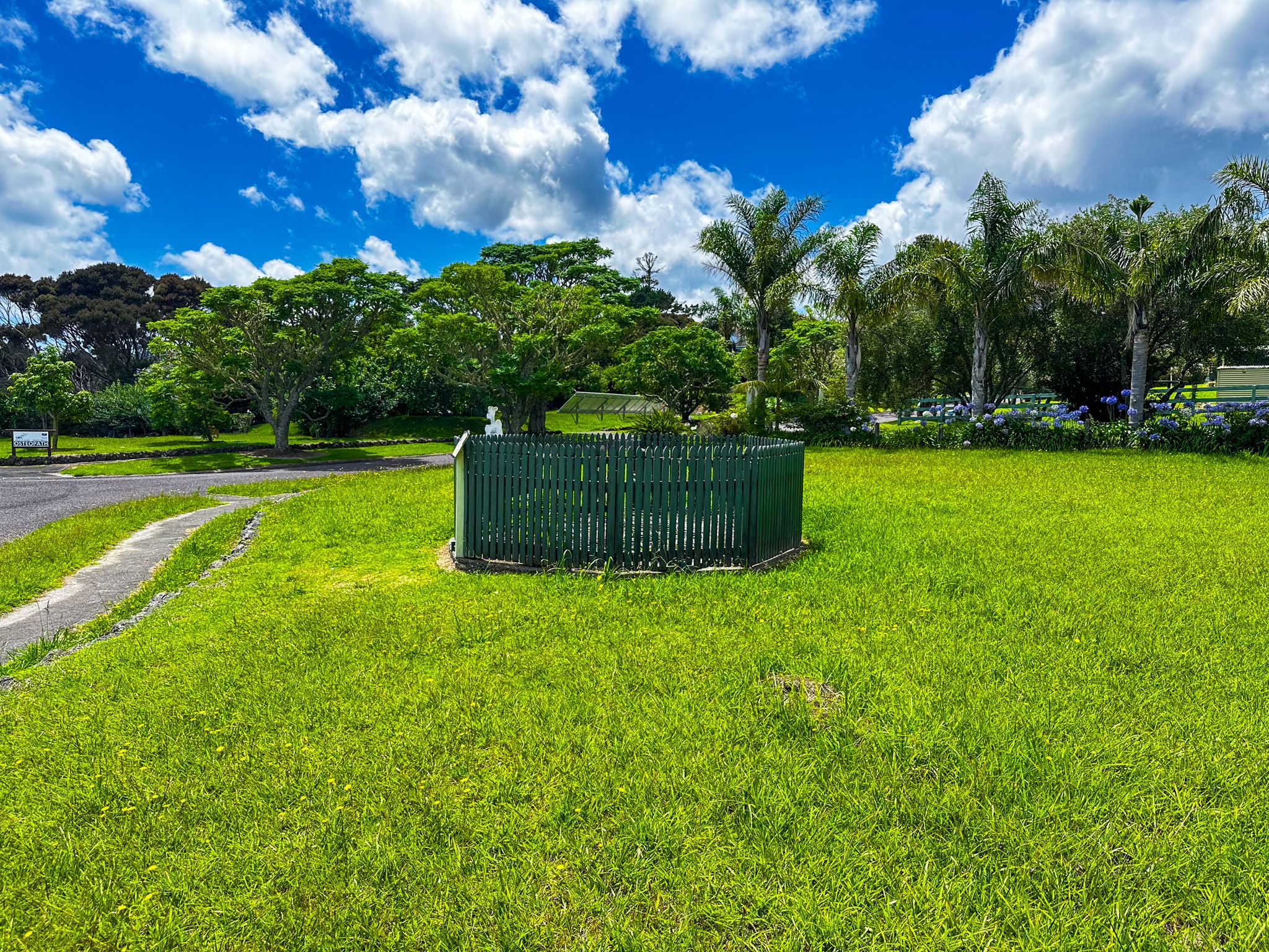
Okiato is entirely non-descript, except that it was briefly the location of the first capital of NZ after the signing of the Treaty of Waitangi in 1840. In 1841, The capital of NZ was moved to Auckland in 1842 and later to Wellington. Today, all that is left is a grassy reserve in the middle of a small suburb, with the original well, a description of its contents from an archaeological review and a panel describing the long-gone government buildings. At least the view from the reserve over Veronica Channel is pleasant, and there is a short walk to the coast.
Captain James Clendon acquired land in Okiato in 1832 from local Māori. Clendon was subsequently the first United States Consul for New Zealand in 1838/1839. In 1840, the new governor, William Hobson, reviewed possible locations for a capital around the Bay of Islands. Clendon's property met the requirements for a good harbour with land suitable for sale to settlers. Hobson purchased the land for 15,000 pounds and changed its name from Okiato to Russell for the Secretary of State for the Colonies, Lord Russell. Hobson and his family moved there in May 1840, along with builders and administrators. A Government House was built but burned down after the move to Auckland in 1841.
The established town of Kororāreka also became known as Russell around the time, and in 1844, new Governor Robert FitzRoy made it part of the township of Russell. But Okiato is today's name of the first capital, and Russell applies only to what was Kororāreka.
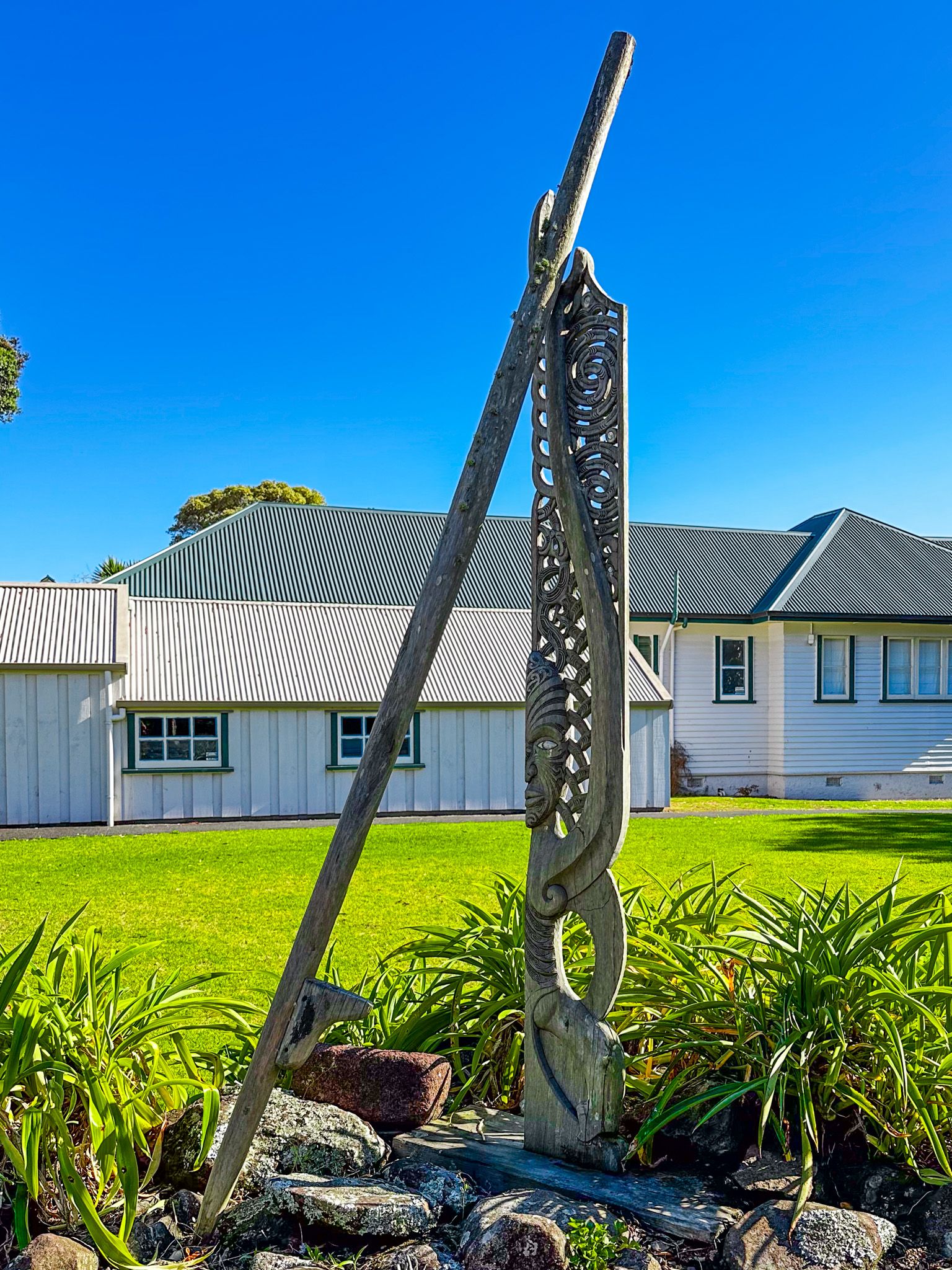
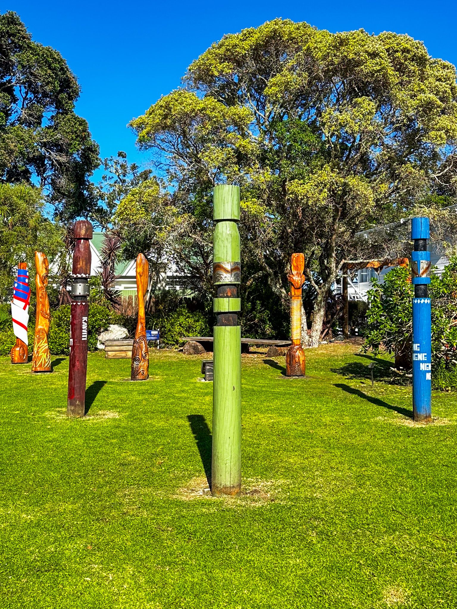
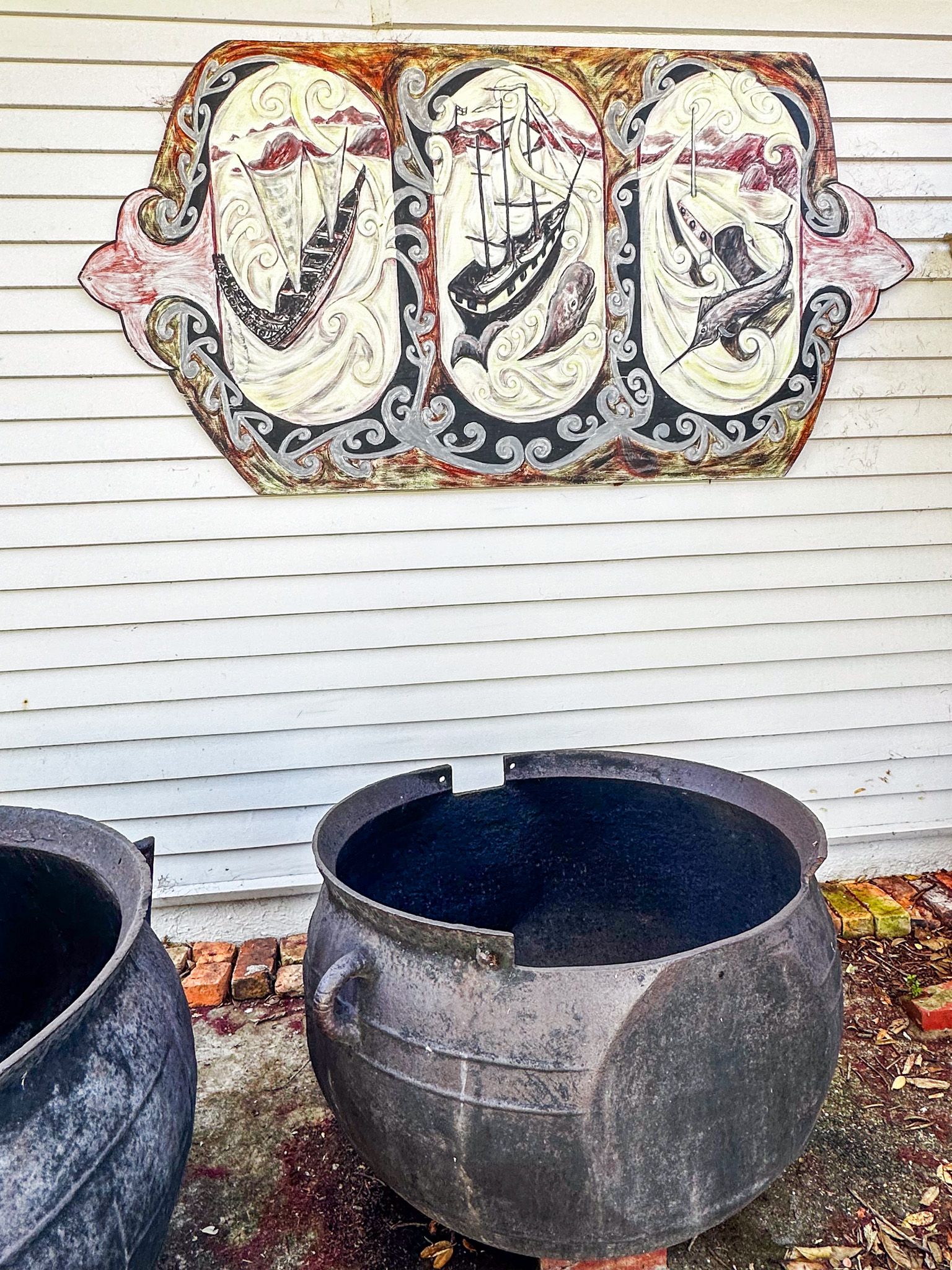
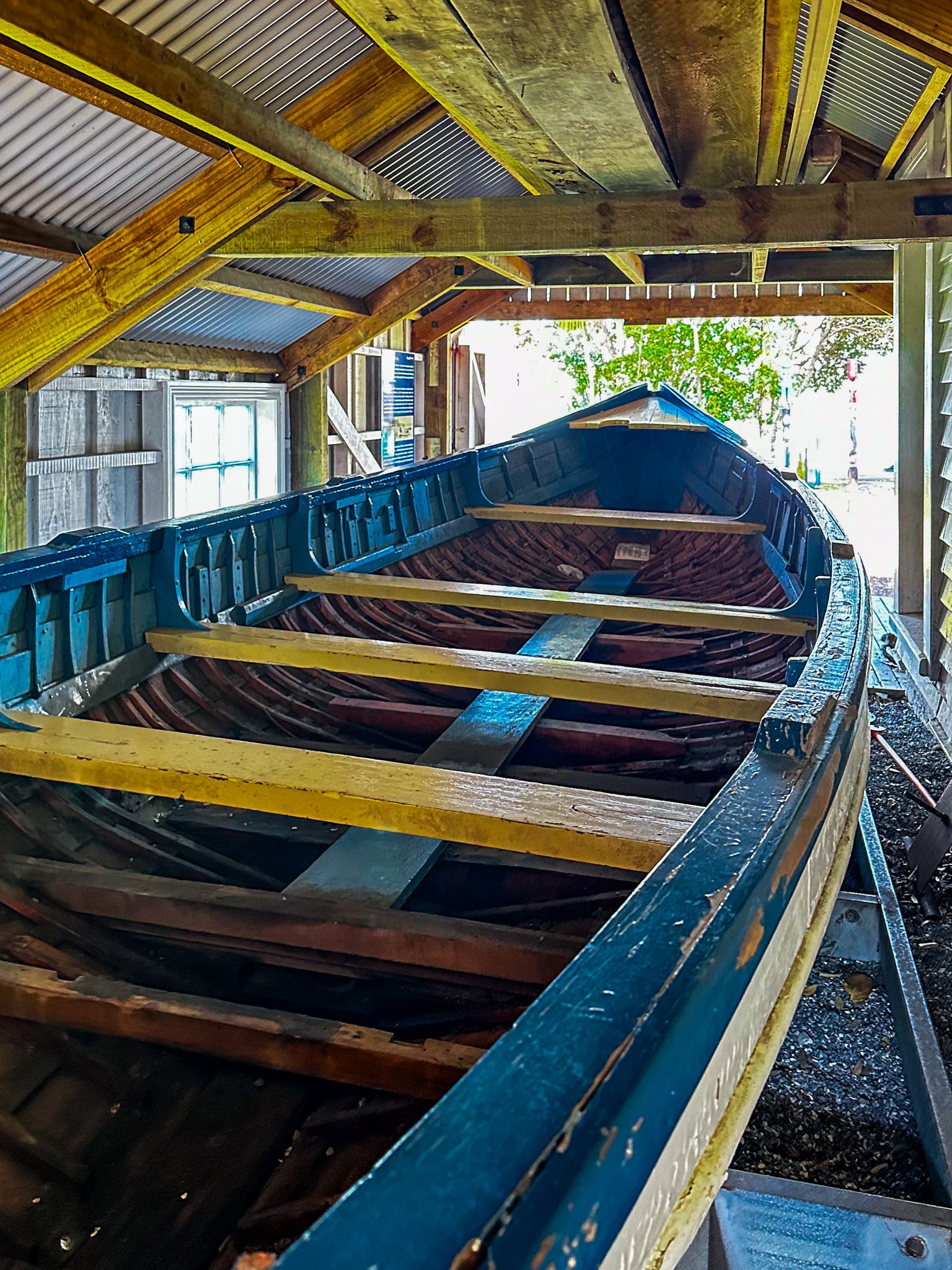
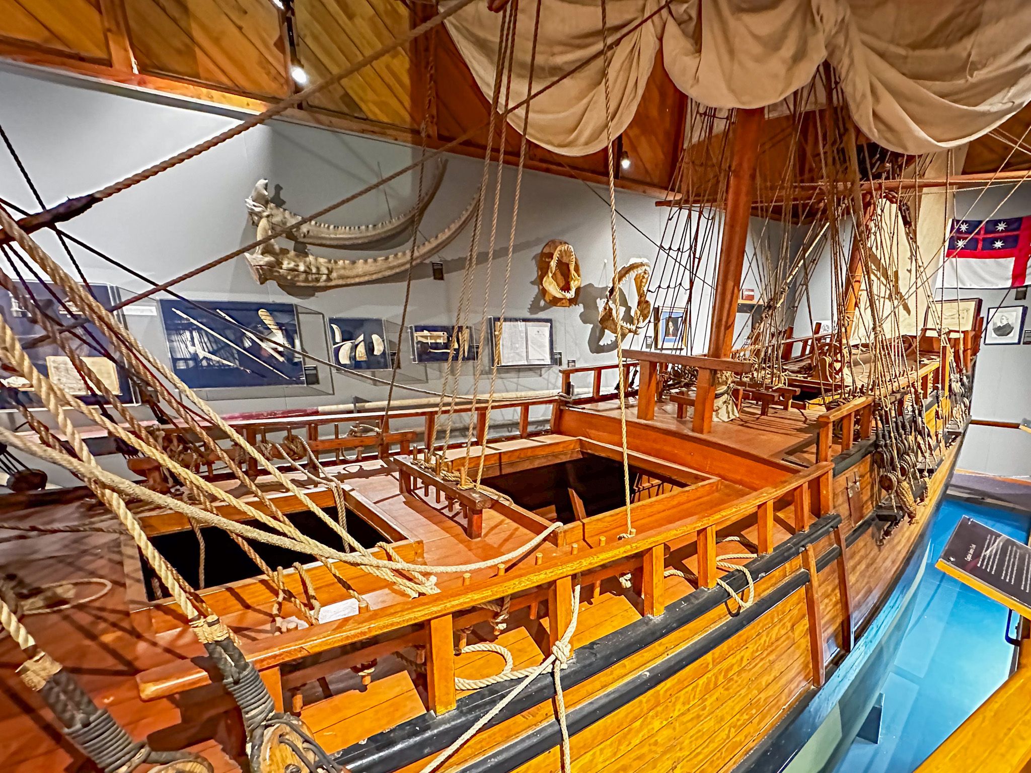
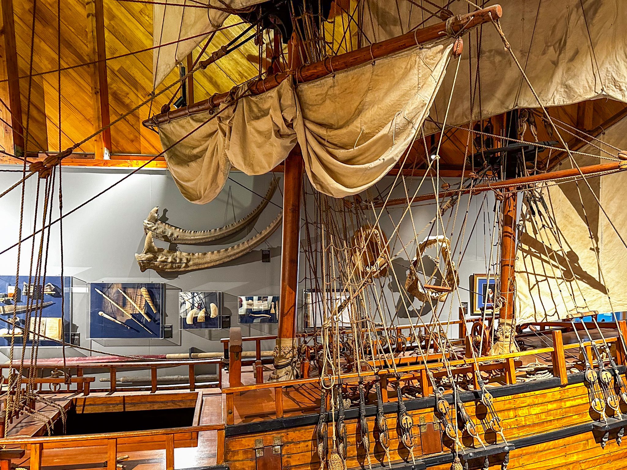
Russell Museum Whare Tāonga o Kororāereka
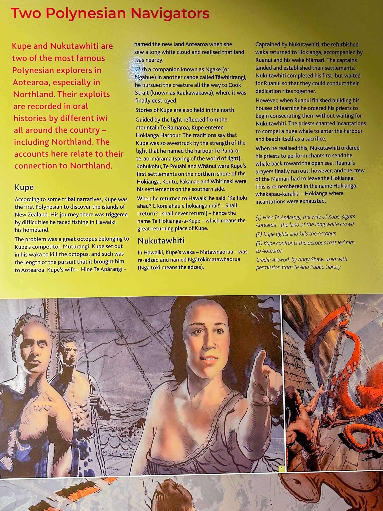
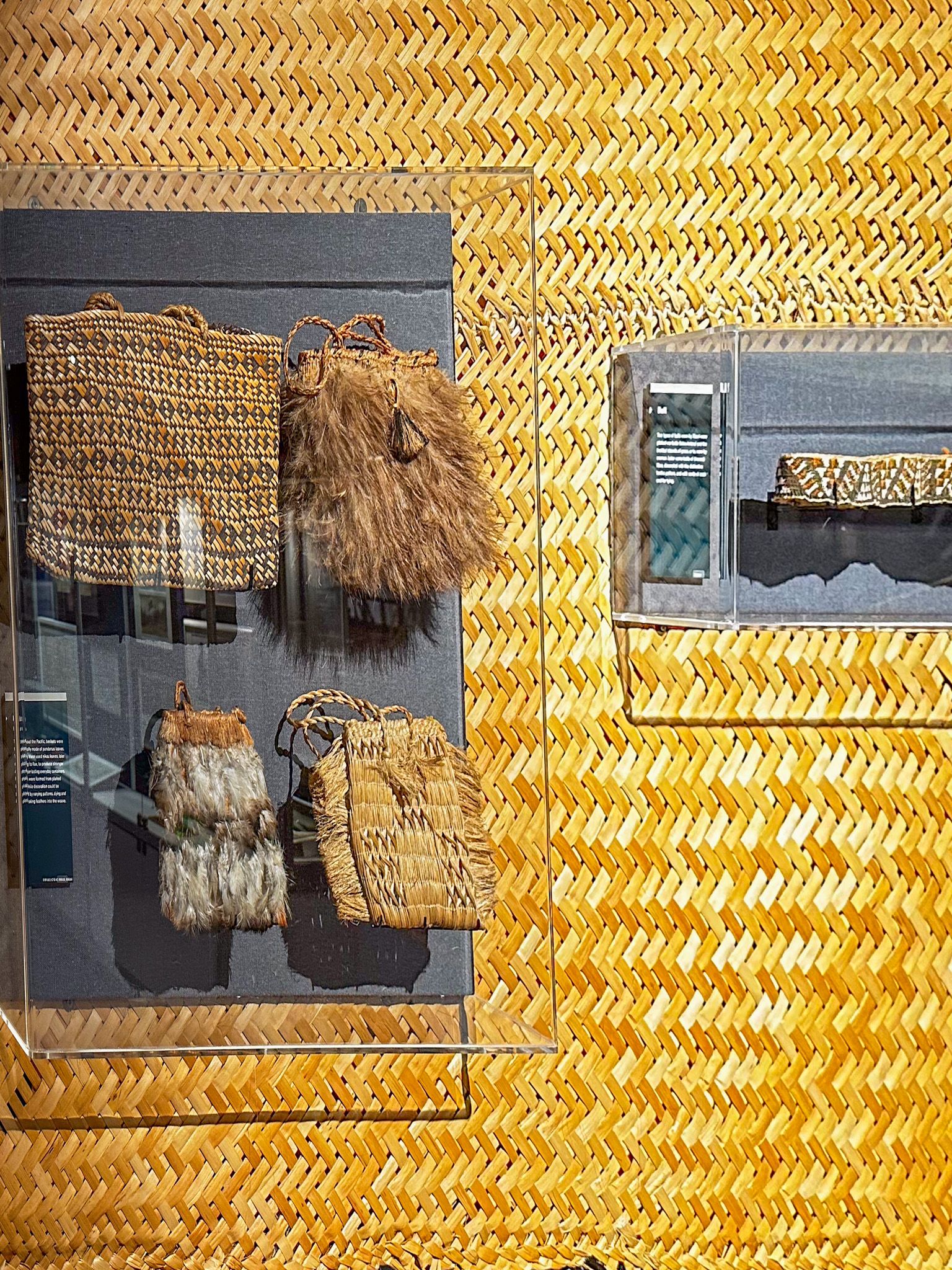
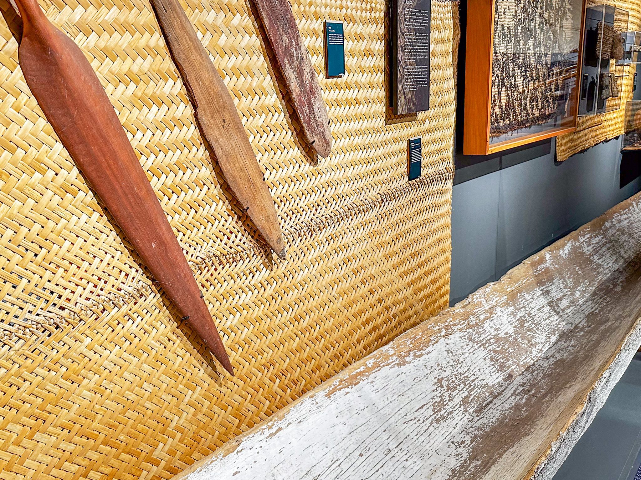
Russell Museum Whare Tāonga o Kororāereka is between the main street and Kororareka Bay in Russell. Although small, it does an excellent job of describing the arrival of Māori and the early visitation and impact of Europeans in the Bay of Islands. The exhibits include a stunning 1/5th scale replica of Captain James Cook’s ship, the Endeavour and whaling and Māori artifacts from the early 1800s.
There is also a lengthy description of the lesser-known French involvement in the region, including the disaster of Marc-Joseph Marion du Fresne in 1771, rumours of French intentions to claim sovereignty over NZ in the 1830s and the establishment of the Pompalier Mission of 1841.
Te Maiki
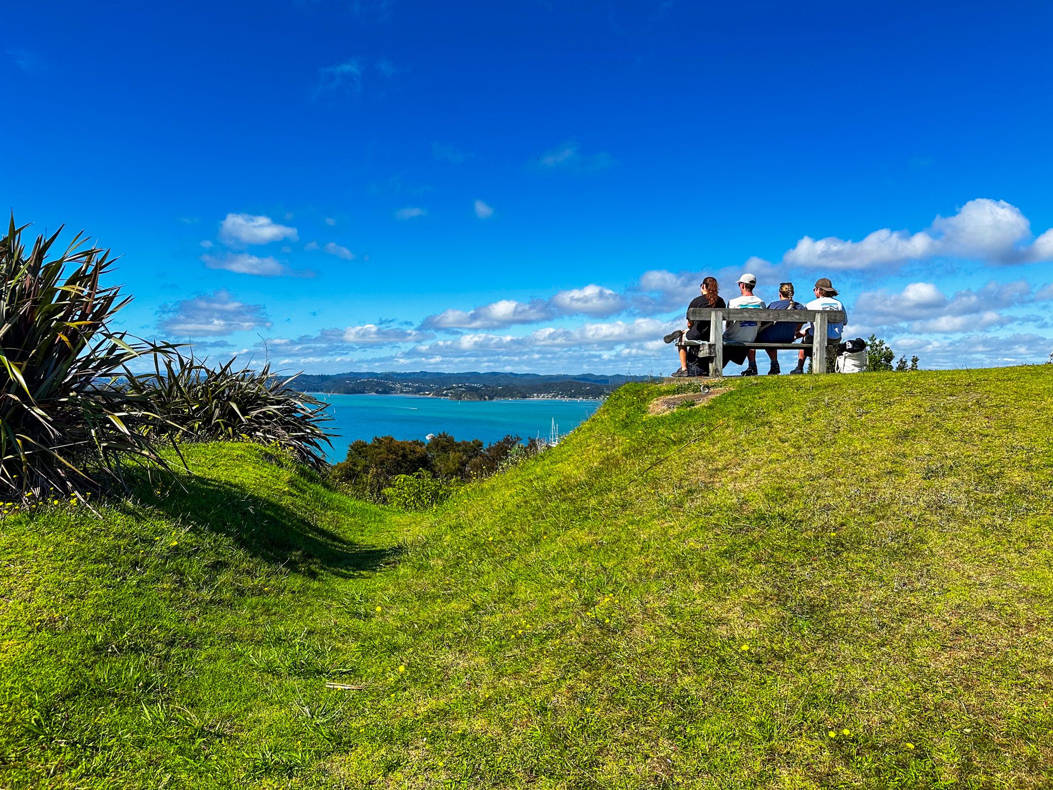
Te Maiki, also Flagstaff Hill and Flagstaff Historic Reserve, is a prominent hill immediately north of Russell in the Bay of Islands. You can drive to the top from Russell on Flagstaff Road (a few minutes) or walk for about 25 minutes along Flagstaff Hill Track from the north end of Kororāreka Bay. The nearly 360-degree views from the top are superb, making it a must-do for visitors.
The original flagstaff was a gift in the mid-1830s from Hōne Heke to James Busby. Busby played a significant role in the politics of NZ during the period, proposing with missionary support the creation of the Confederation of Northern Chiefs and the Declaration of Independence in 1835. The confederation created the first NZ flag, and recognising NZ as an independent state meant that the British recognised NZ-flagged vessels. Initially the flagstaff and confederation flag was set up at Busby’s residence at Waitangi. The first governor-general of NZ, William Hobson, moved the flagstaff to Te Maiki after the Treaty of Waitangi was signed to fly the Union Jack.
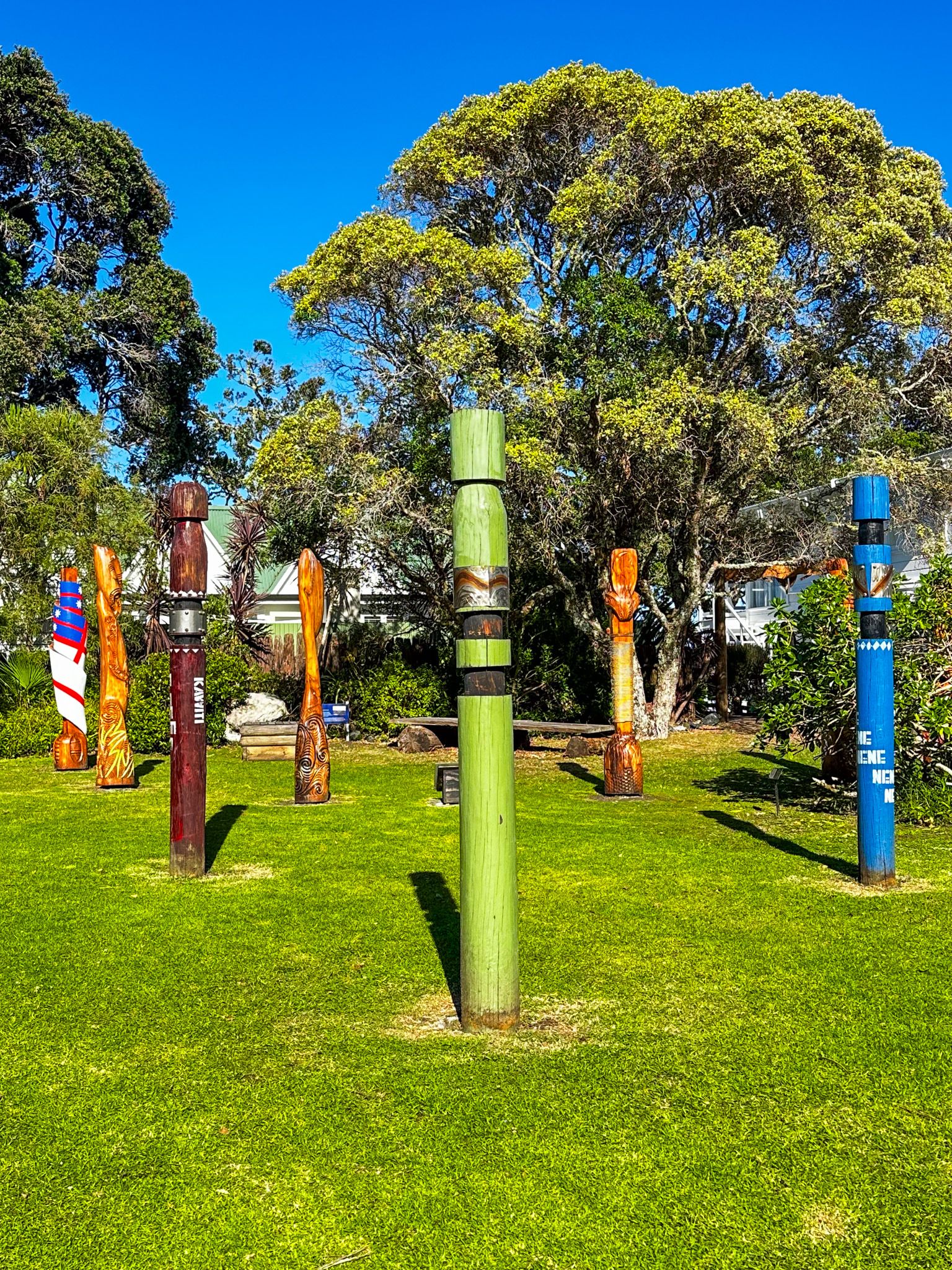
The relationship between the new government and Ngāpui iwi deteriorated in the first few years. There were various factors, but new government rules, taxes, and the move to Auckland undermined the Ngāpui economic base. Hōne Heke and Kawiti decided the flagstaff had become a symbol of oppression and cut it down as an act of defiance in 1844. After three cycles of cutting and restoring, new governor-general Fitzroy decided to bring in a military force from Sydney to protect the flagstaff. This, in turn, led to a full-blown assault by a force led by Hōne Heke and Kawiti and the Battle of Kororāreka in 1845. The battle destroyed the town and kicked off the Flagstaff War.
After a year, the war ended in a stalemate, and Hōne Hekle and Kawiti were pardoned. Government policy was to ignore the region, but in 1858, Ngāpui, who had rebelled, tried to improve relations by re-establishing and honouring the flagstaff. It was the 5th flagstaff and the one you see today.
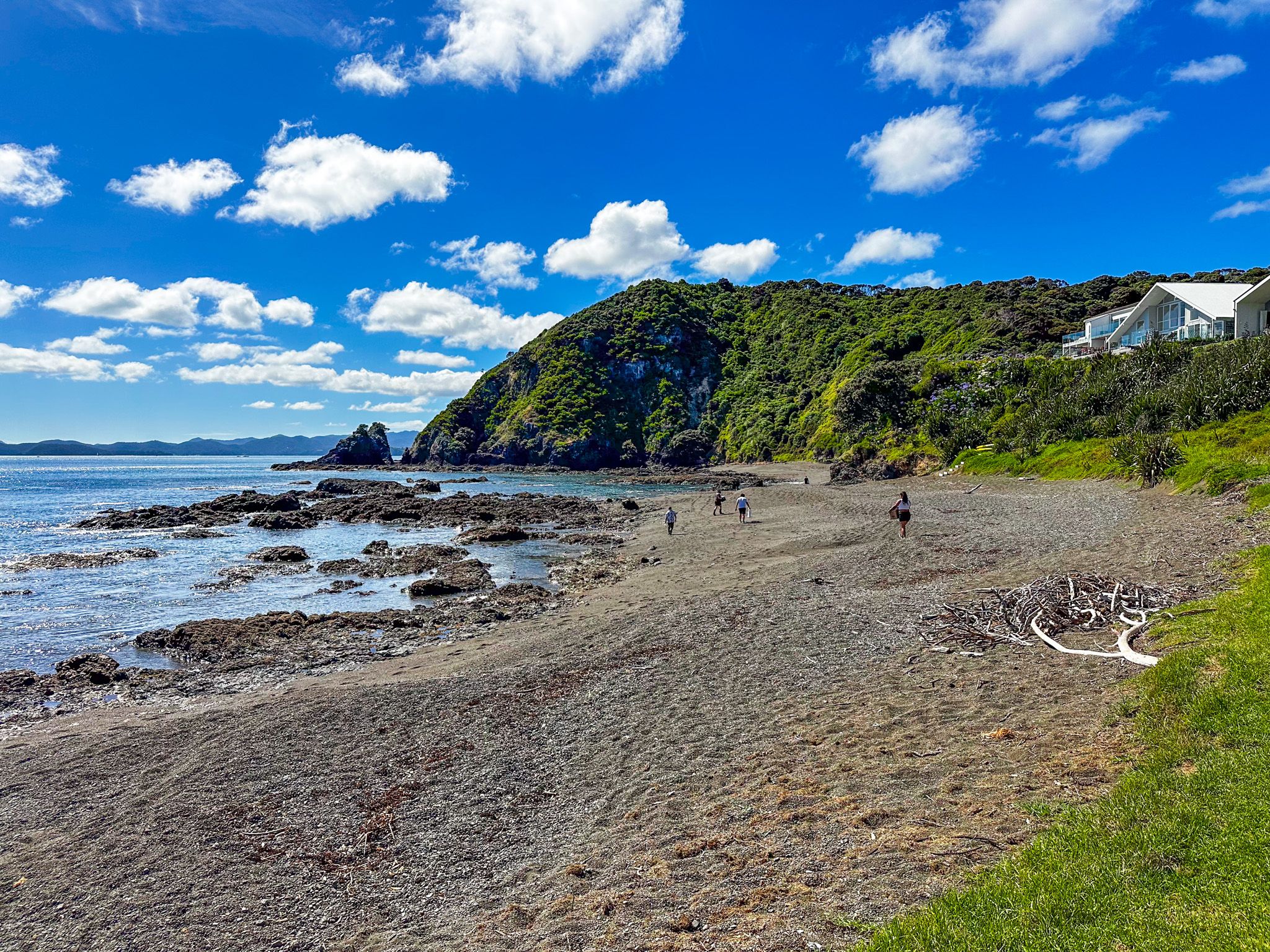
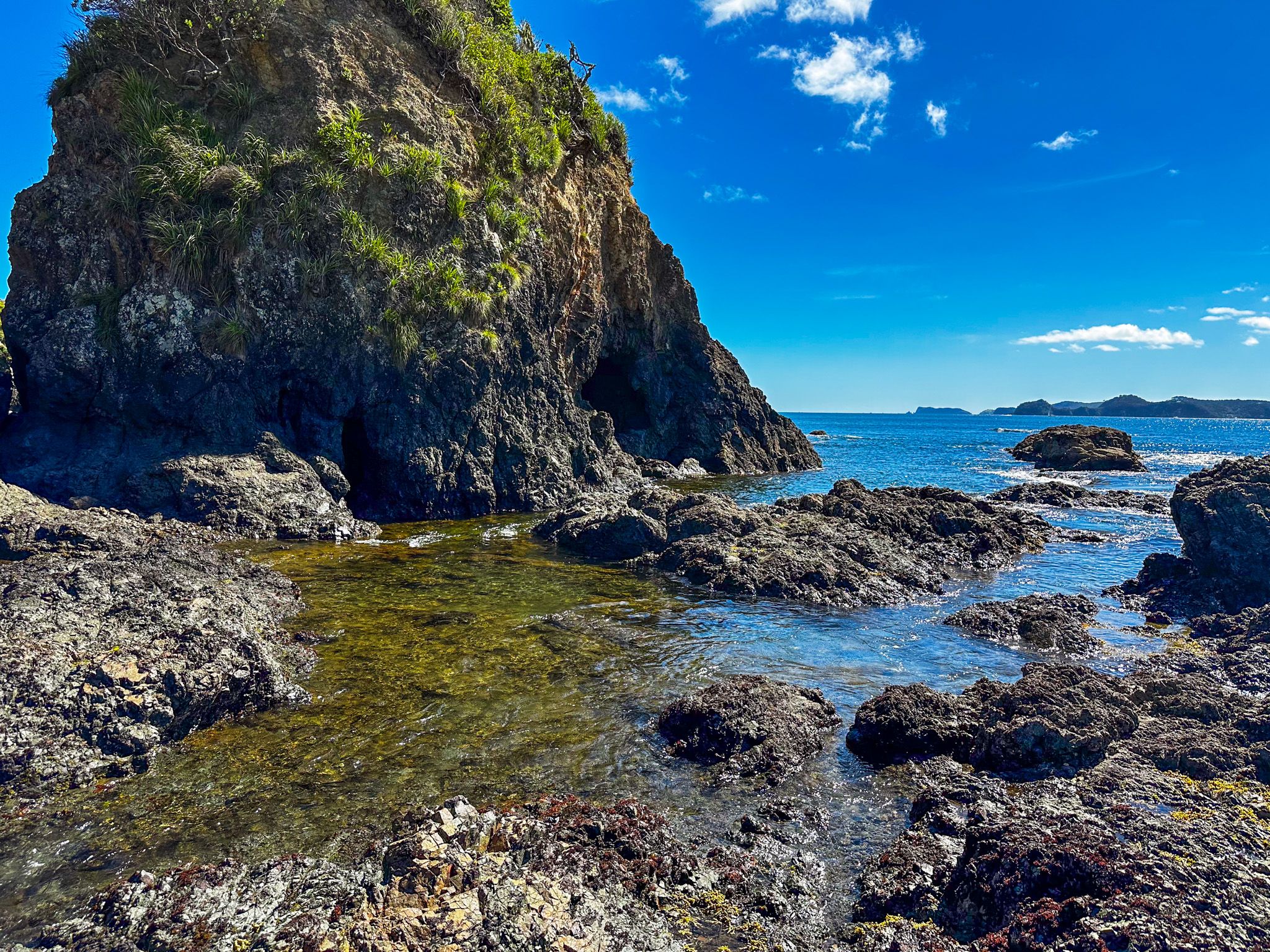
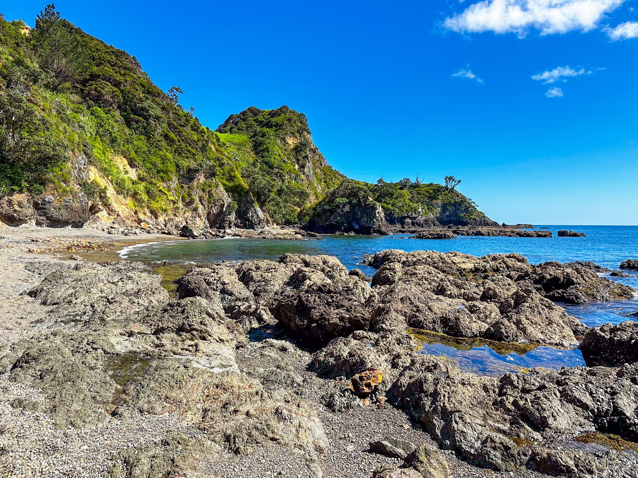
Rocky Bay Reserve
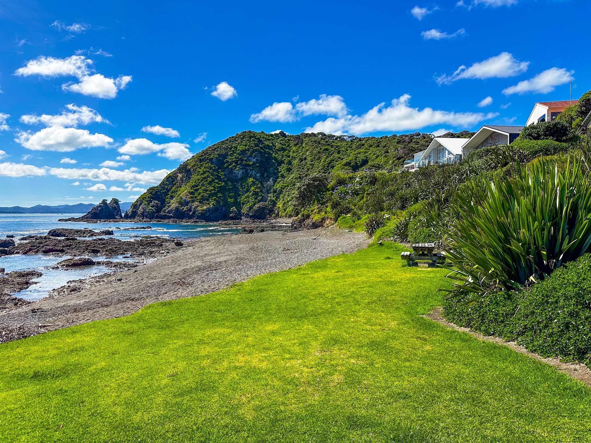
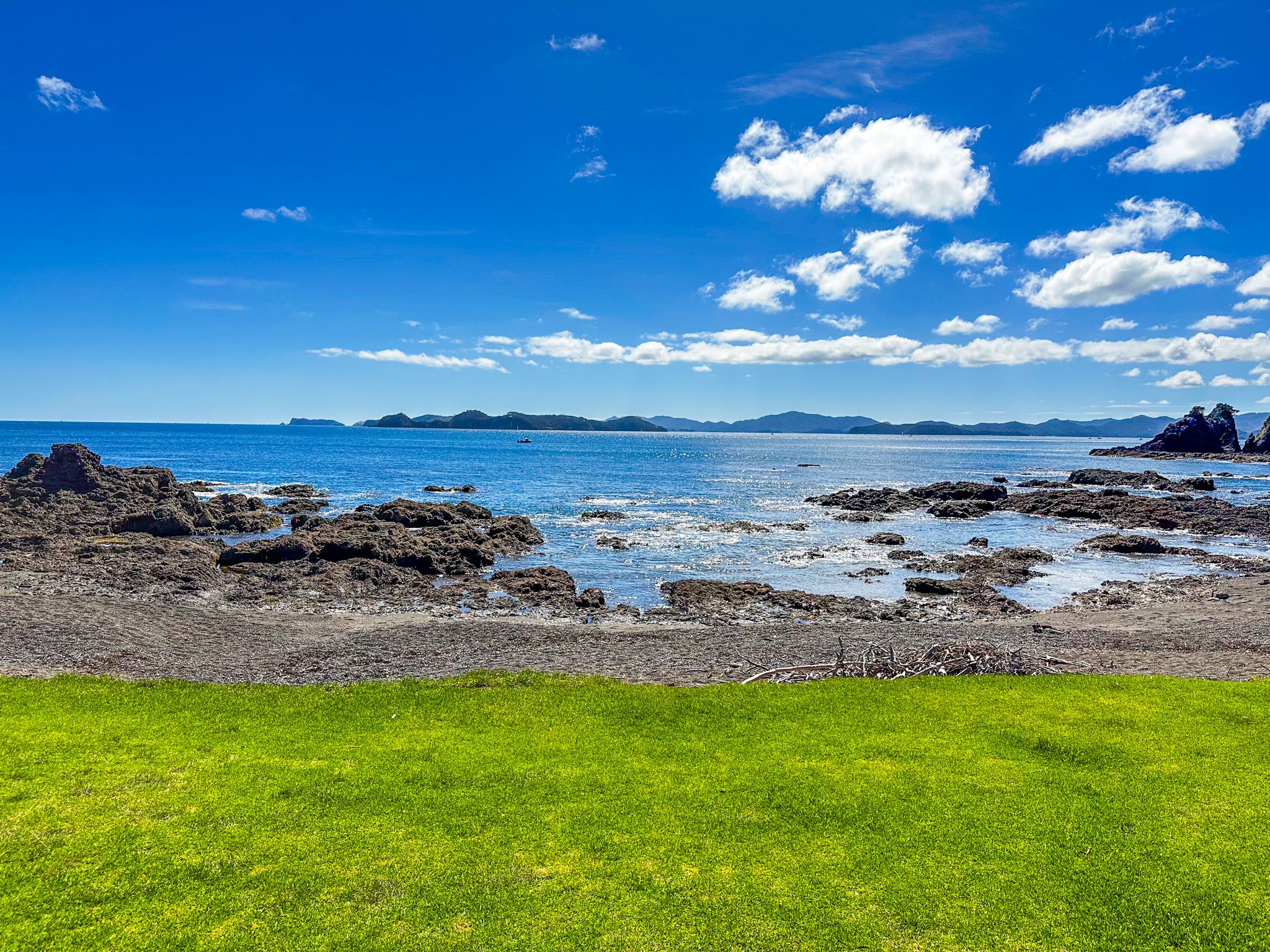
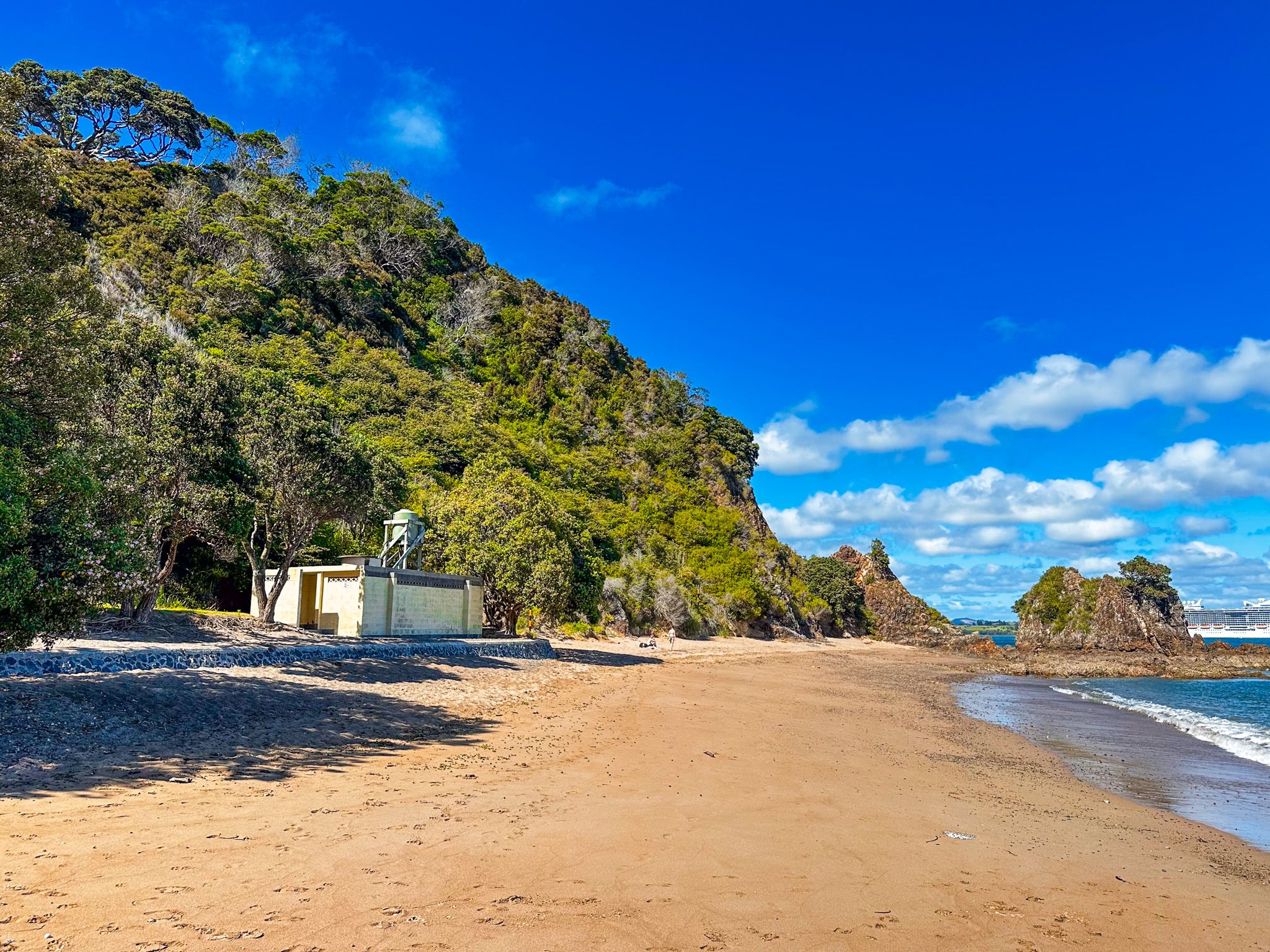
Rocky Bay Reserve is a stony beach at the north end of Russell and east of Tapeka Point. From central Russell, take Flagstaff Road to Tapeka Road. Turn right onto De Fresne Place just before the Tapeka Point Beach car park. It is a 5-minute drive or a 40-minute walk via Te Maiki. The car park is immediately behind the beach, which is overlooked by houses. From there, you can also easily hike the 20 minutes on the Tapeka Point Track for superb views over the Bay of Islands.
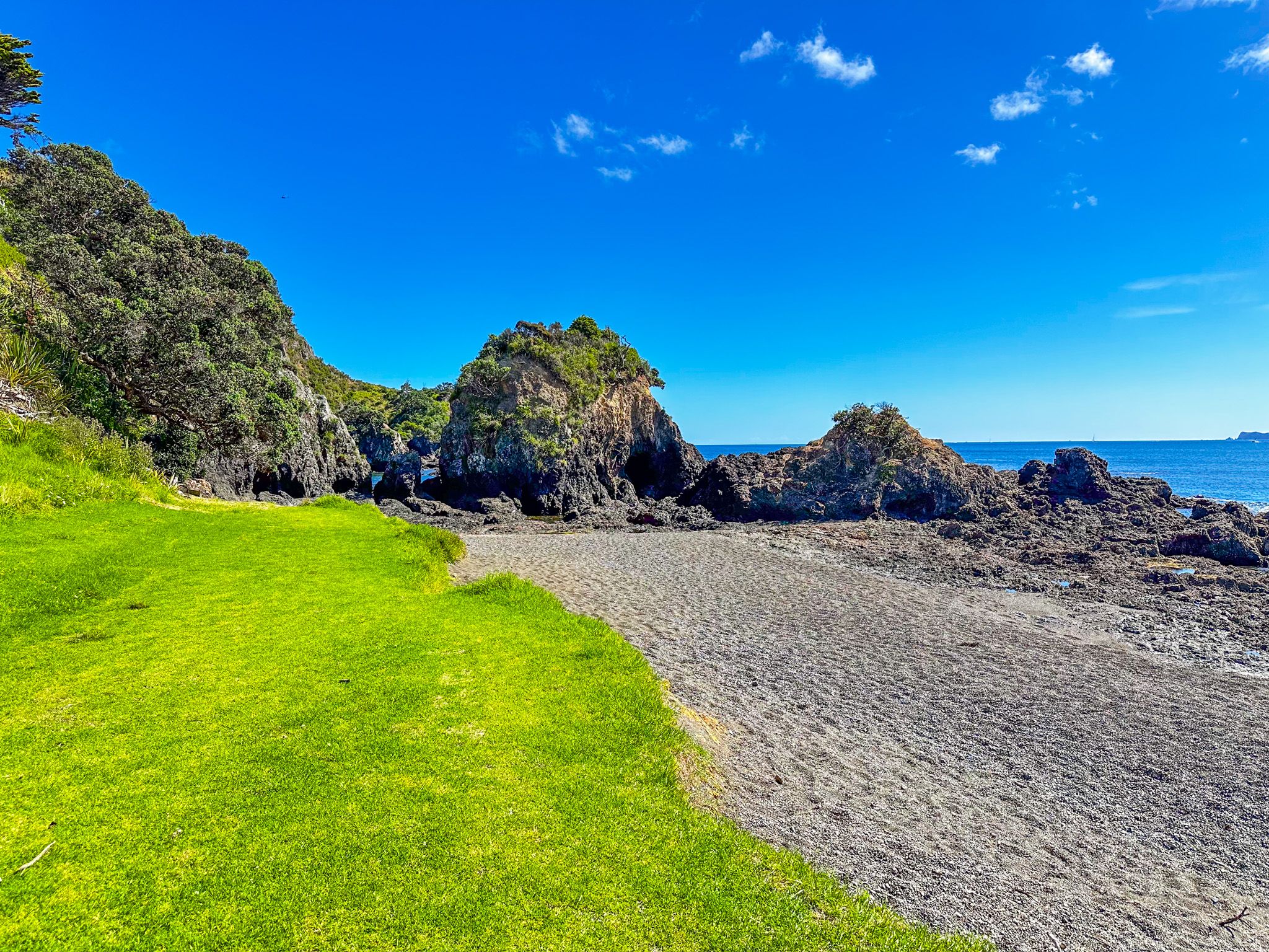
There is a grass strip above the beach with some bench seating. Although the beach is stony, it is interesting to explore. There are cliffs and rocky points with rock pools at both ends. If you walk to the west, you can cross between the rocks to two smaller beaches below the cliffs of Tapeka Point. It is a nice, quiet spot for a picnic in an otherwise busy place.
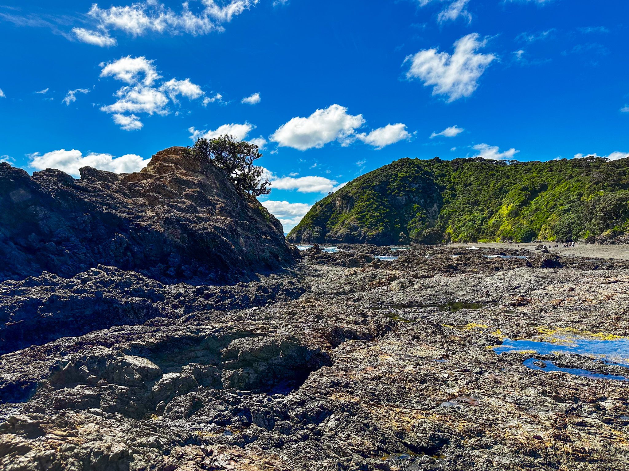
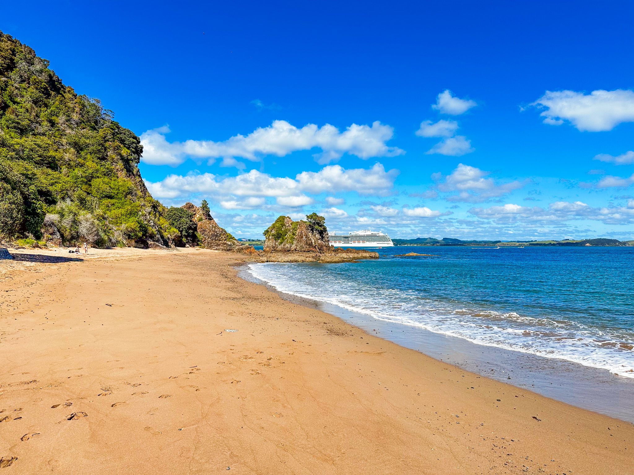
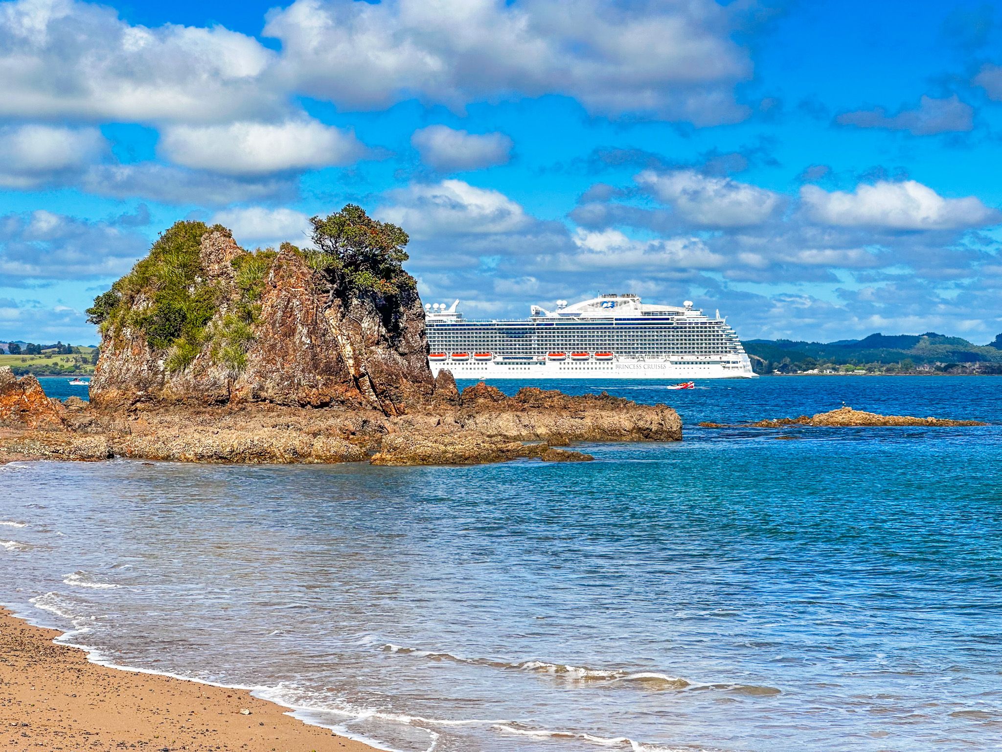
Tapeka Point Beach
Tapeka Point Beach is a small, attractive sandy beach immediately southwest of Tapeka Point. From central Russell, take Flagstaff Road to Tapeka Road. It is a 5-minute drive or a 40-minute walk via Te Maiki. From there, you can also easily hike the 20 minutes on the Tapeka Point Track for superb views over the Bay of Islands.
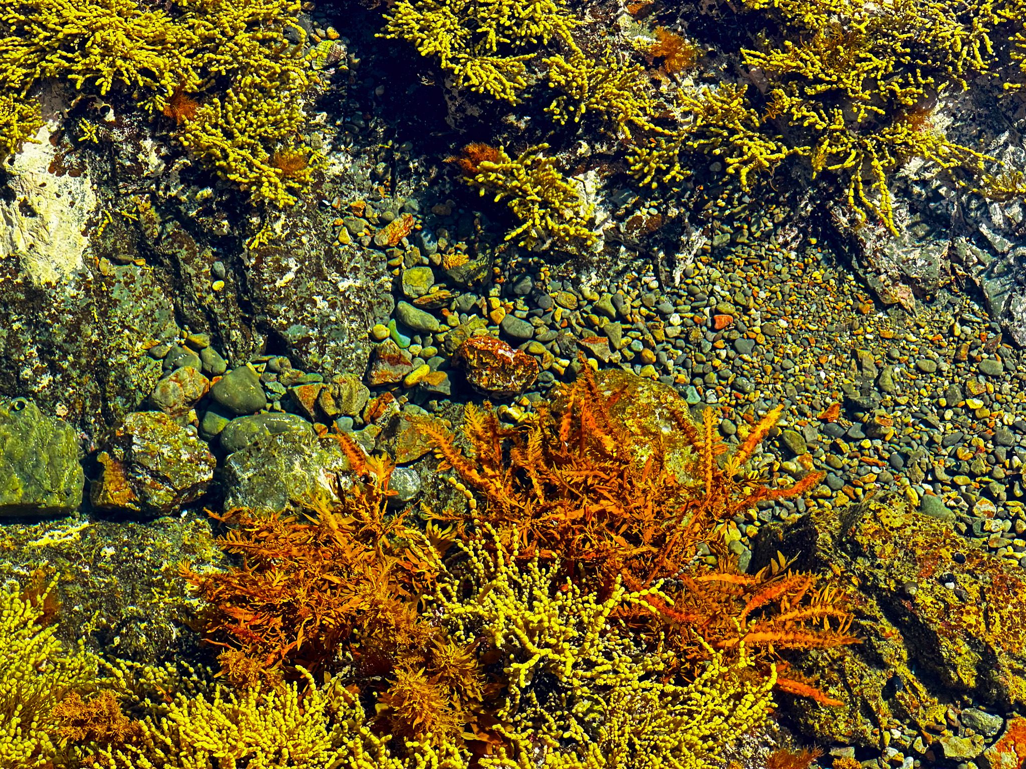
The beach is safe for swimming, has a boat ramp and modest grassed reserve, and is a popular spot. Once the tide is out, you can explore the rocky shoreline to the north, below Tapeka Point. You may discover a series of large pools around a rocky reef. This rocky area is called Fraser Rock on Topo Map and Housy’s Hole on Google Maps.
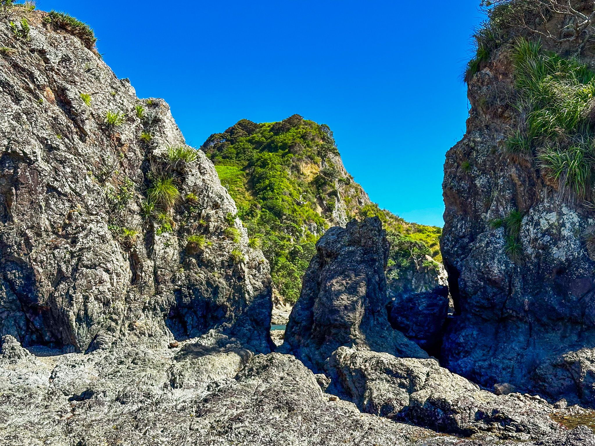
Tapeka Point Track
Tapeka Point track is a 20-minute but excellent walk from Du Fresne Place to the 80-metre high tip of Tapeka Point. You can park at the base of the track or nearby Rocky Bay Reserve or Tapeka Point Beach.
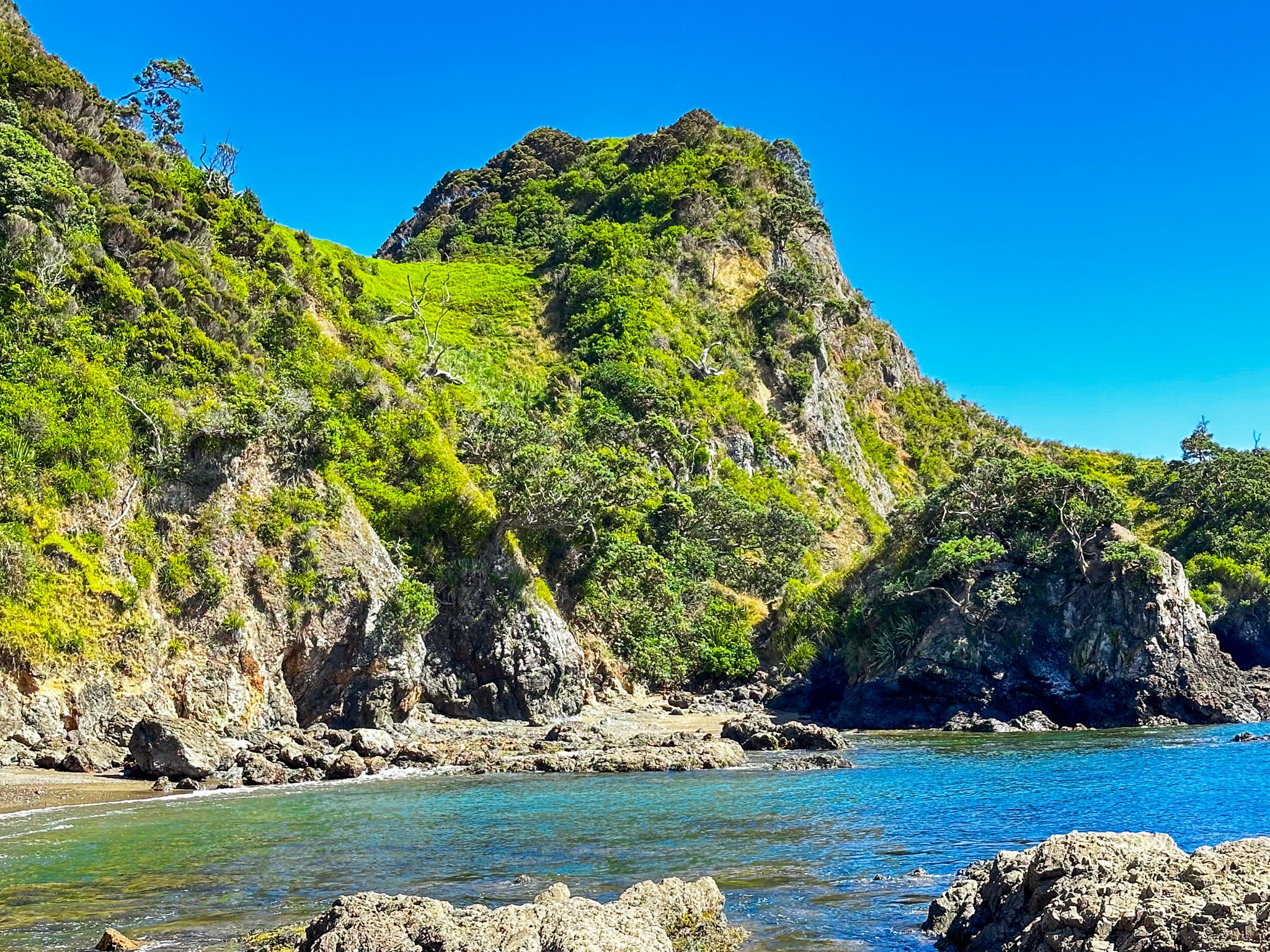
The walk starts with a steep climb and follows the often sharp undulating ridge, with a final sharp climb to the peak. The views are superb for most of the walk - west over Fraser Rock and east over Rocky Bay. From the grassed top, there is a nearly 360-degree view of the Bay of Islands. There are cliffs around the top and steep drops at various points on the track, so take care of small children and avoid bad weather.
Historically, the point was the location of the Tapeka pā. You will see signs of past habitation as you hike up and follow the ridge, especially the defensive ditches. The point was also known as Lovers Leap. The name arose from a Māori story of two lovers who, unable to get married, decided to jump off the top.