Cape Palliser Road is a relatively remote road. It runs from the access road to Lake Ferry and Palliser Bay to Cape Palliser at the southeast tip of the North Island.
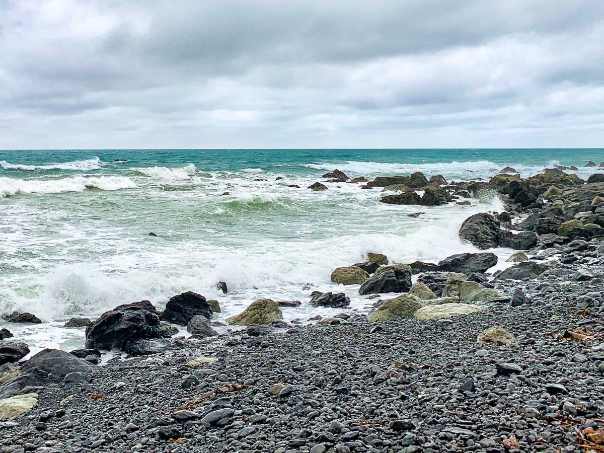
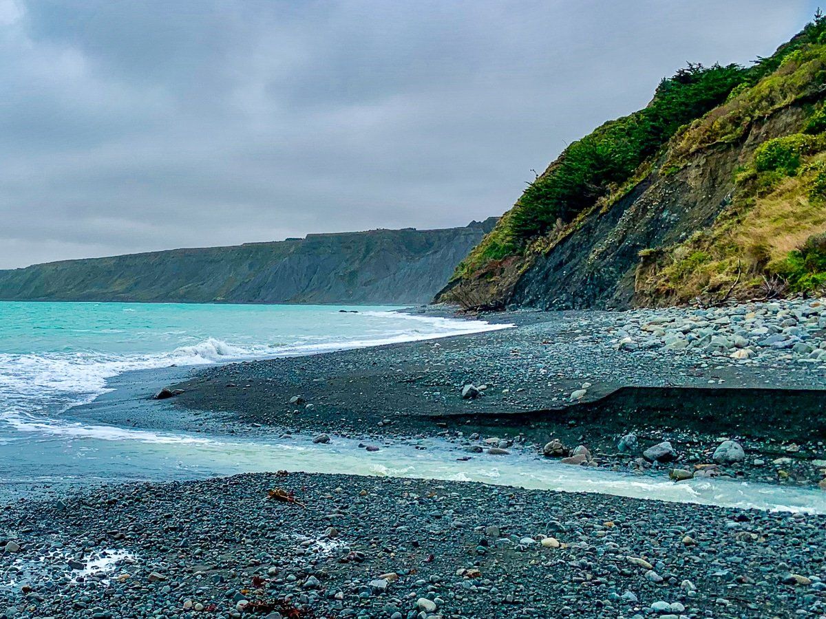
It initially winds through coastal farmland before meeting the coast, just before the access to Putangirua Pinnacles. Continuing along the coastal road from Putangirua, you will pass through the fishing hamlet of Ngaiwi, with gorgeous views out to the ocean. The fishing boats on trailers parked above the beach are also a unique sight.
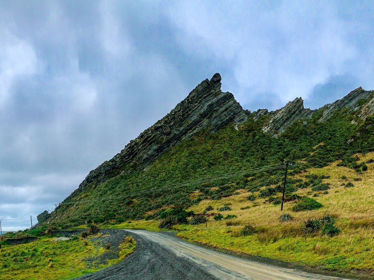
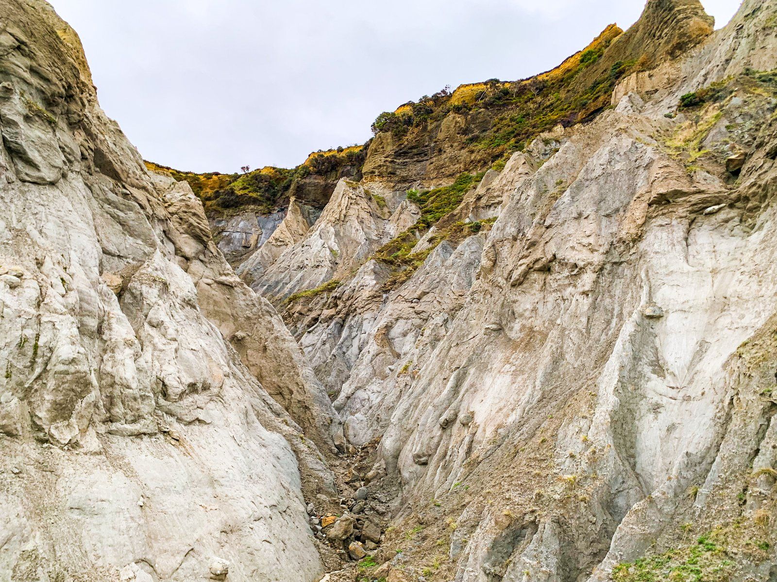
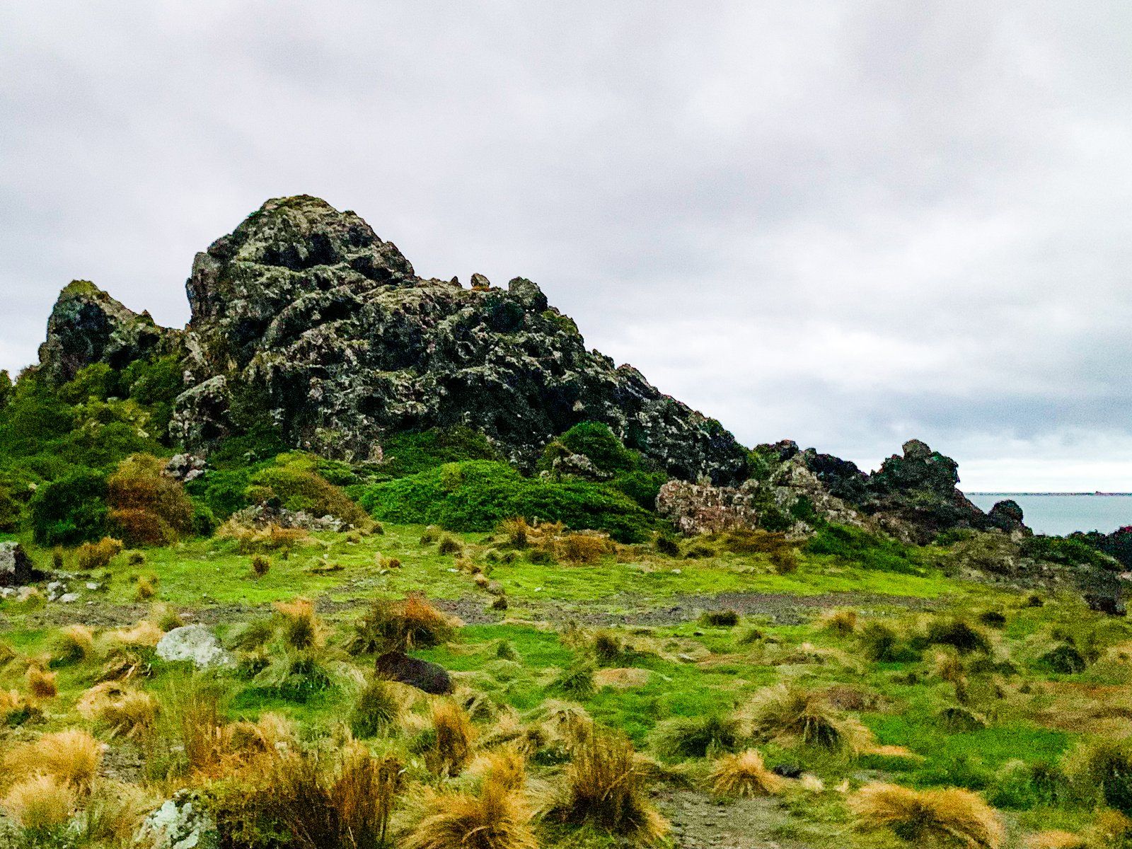
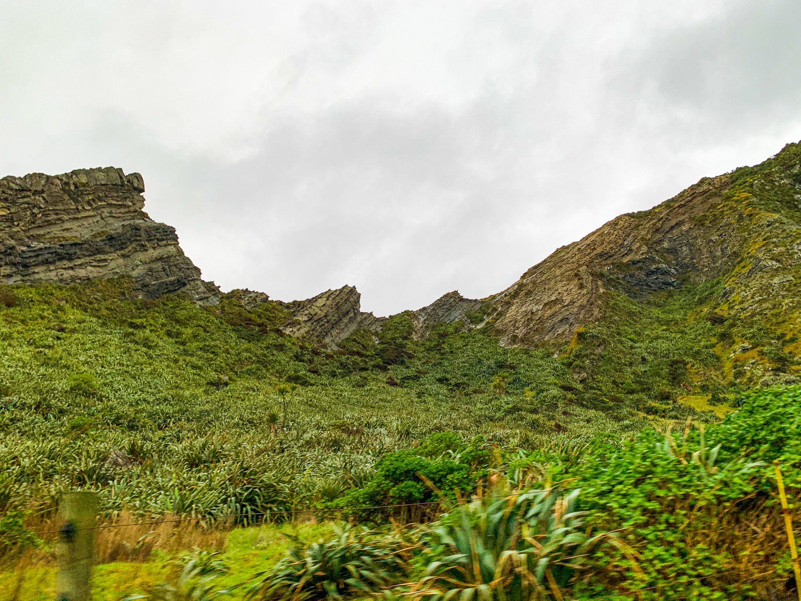
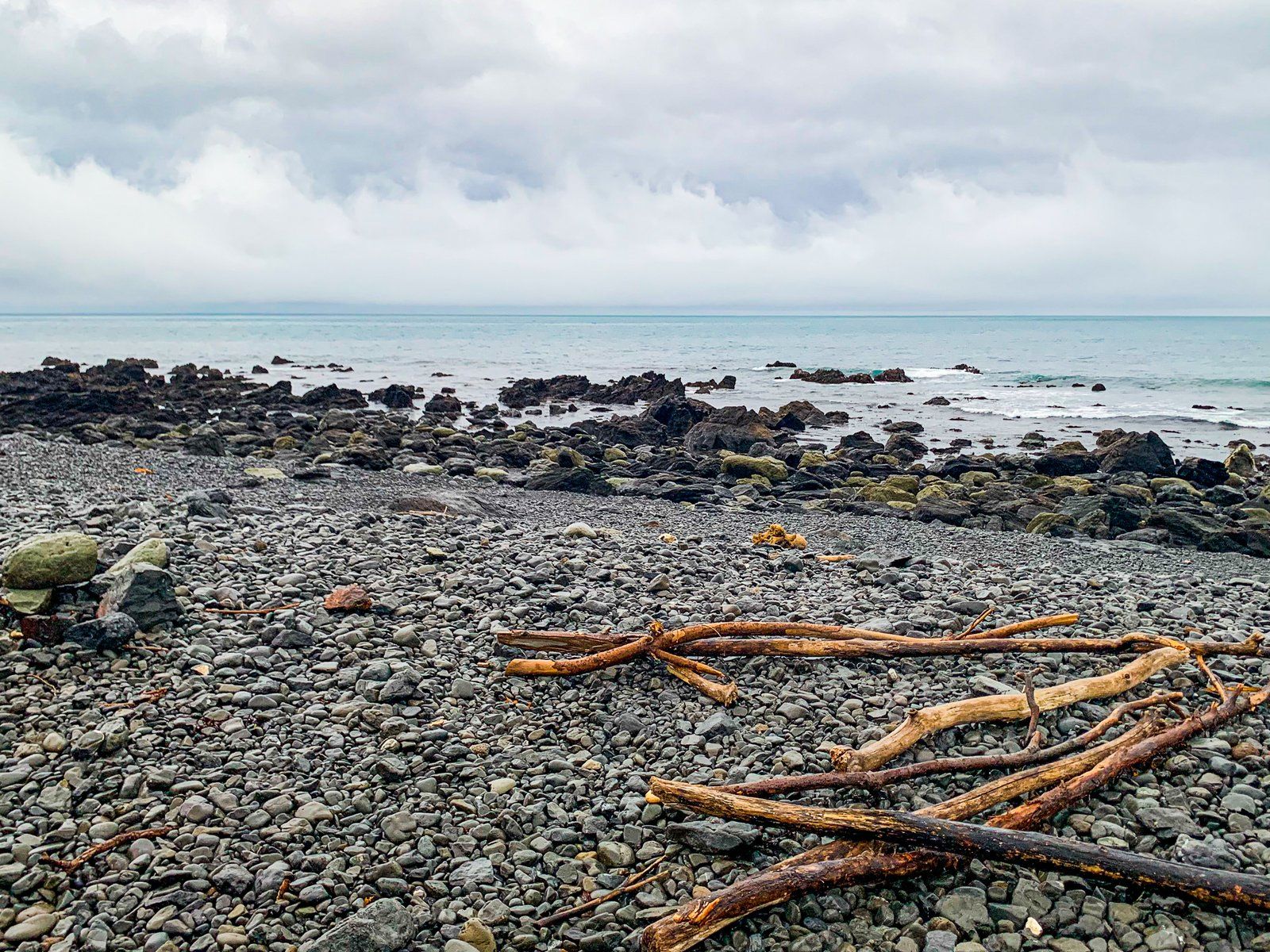
The geological features are often striking, and magma basalt canyons are visible from the road without requiring additional hiking. There’s also an amazing rock formation called Kupe’s Sail – a reference to a Māori discoverer of New Zealand.
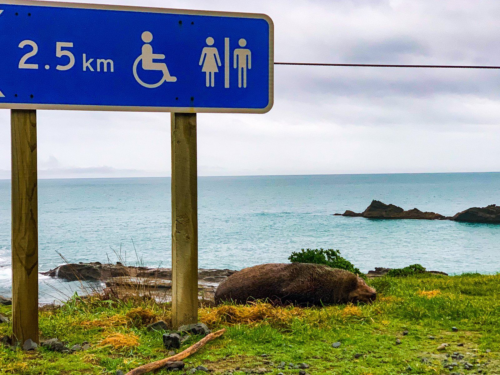
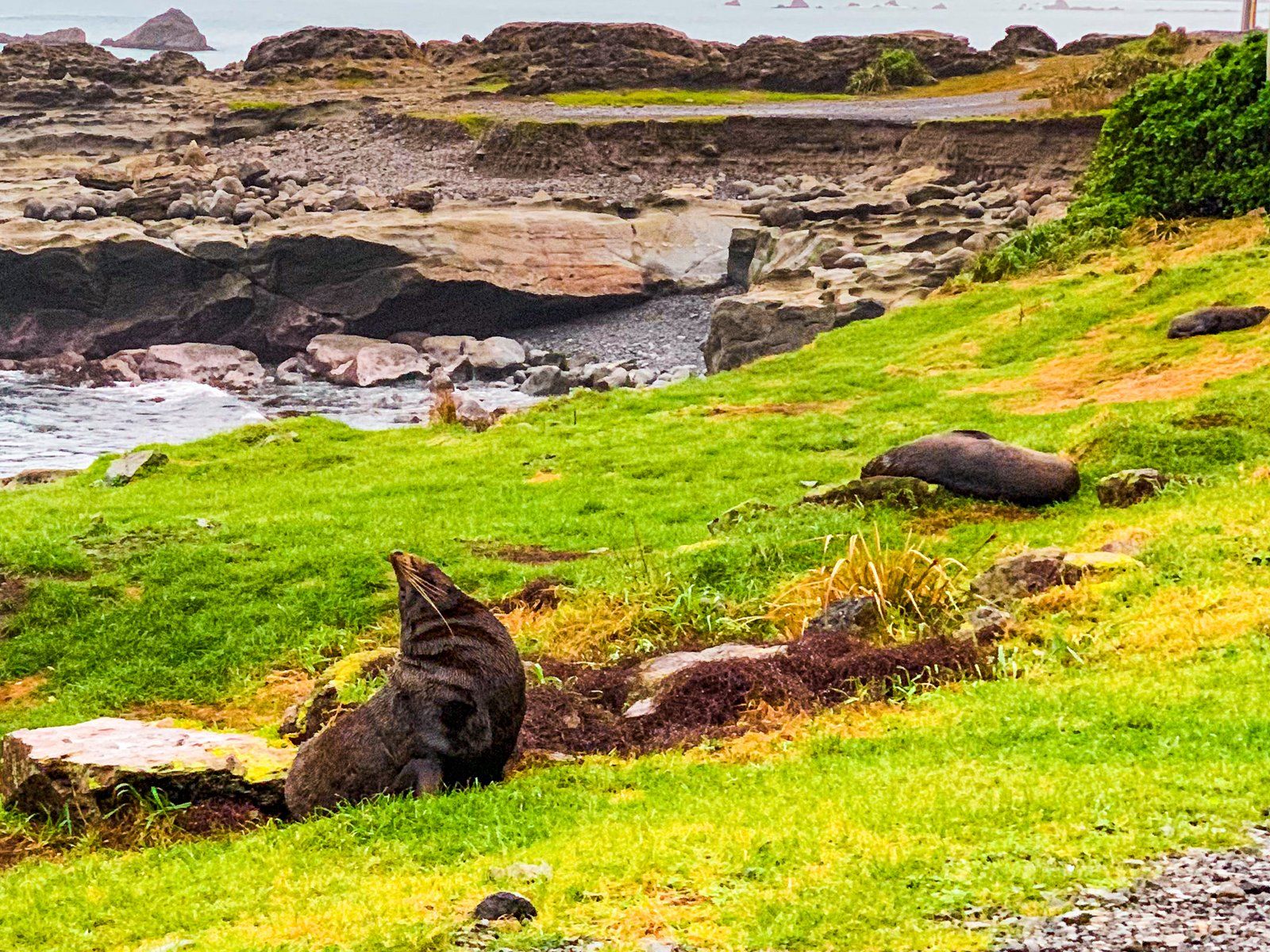
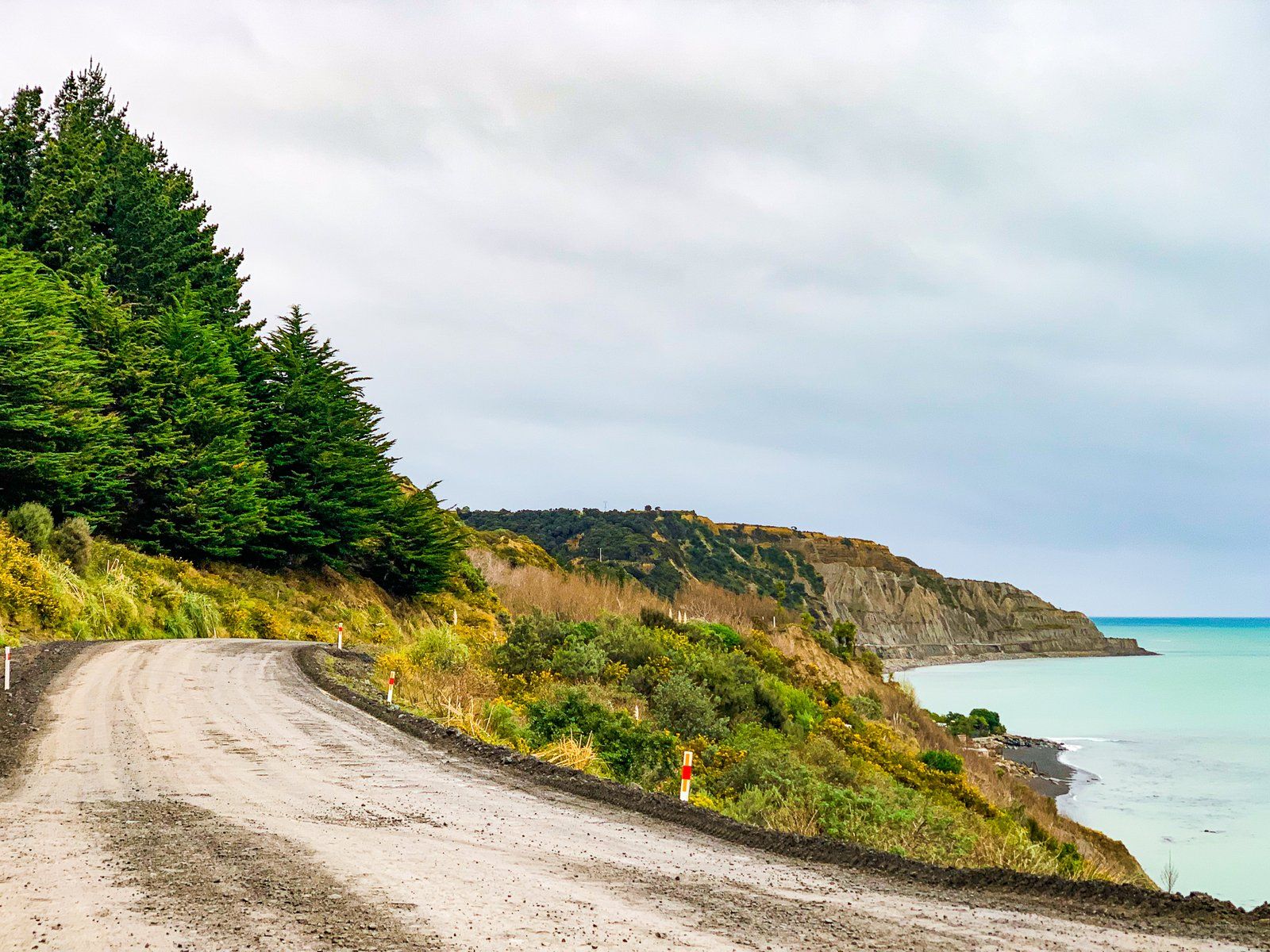
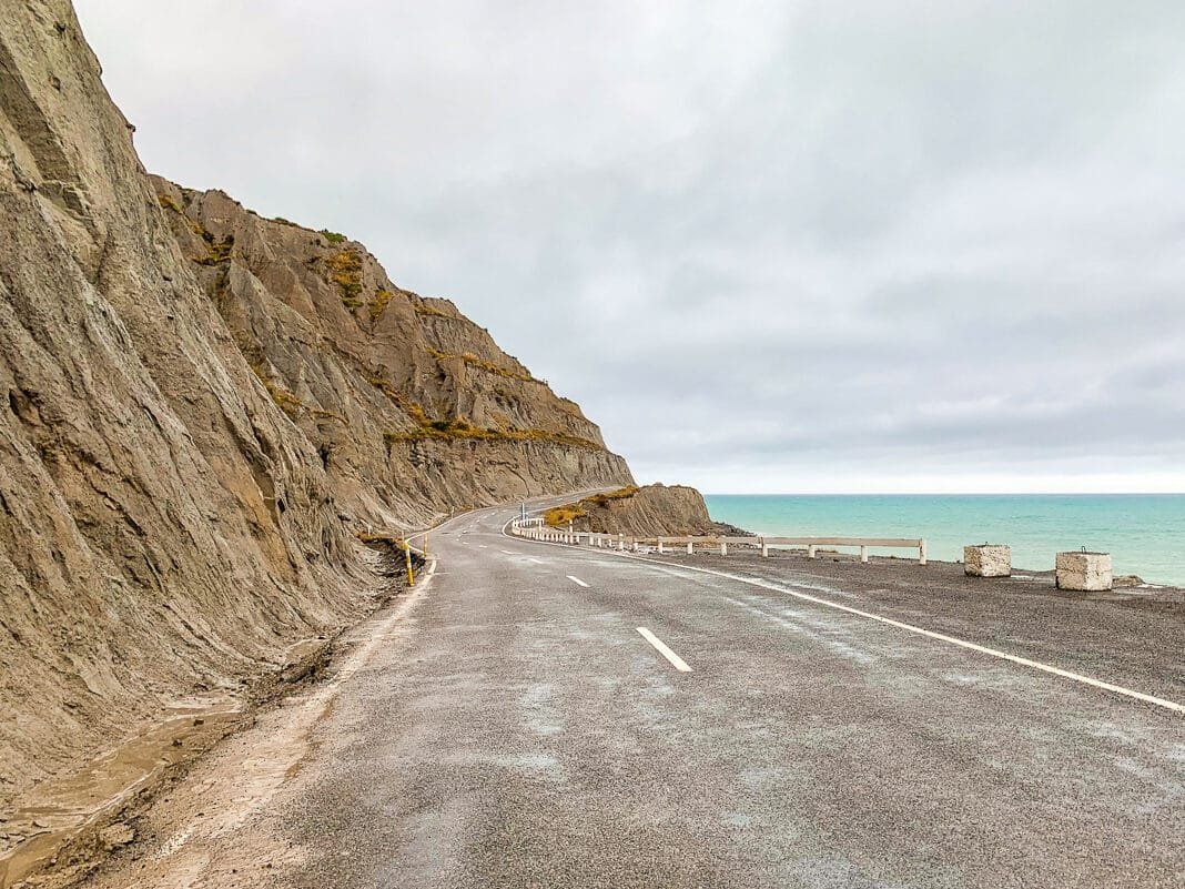
As you near the Cape, drive slowly and watch for seals and sea lions, which can be seen lolling about by the side of the road. There is significant damage to the road in this part, with the coastal lane having completely dropped off in two locations and fords and slippery mud coursing over it. It also goes from being a sealed road to pot-holed gravel.
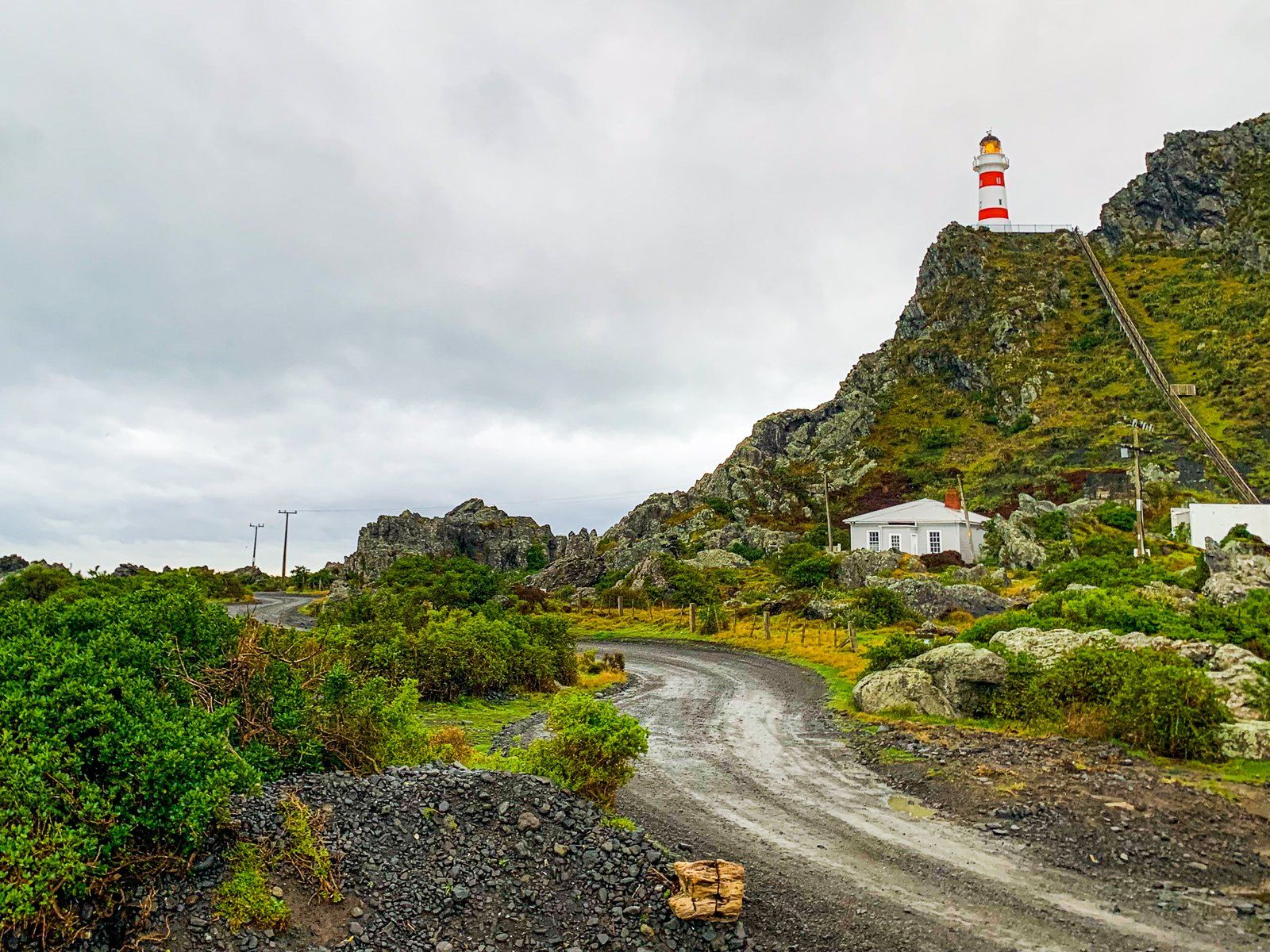
At the end of the road, you will find the sharp, steep walk to the Cape Palliser Lighthouse.