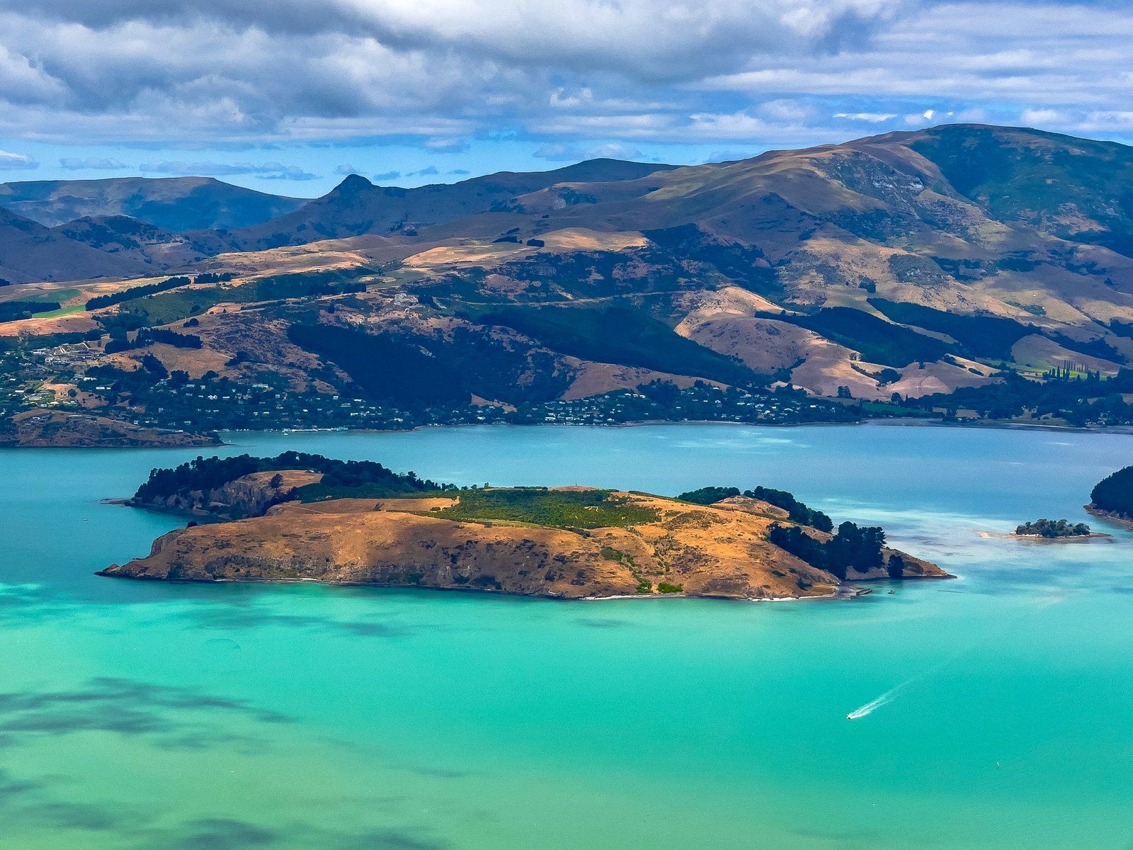
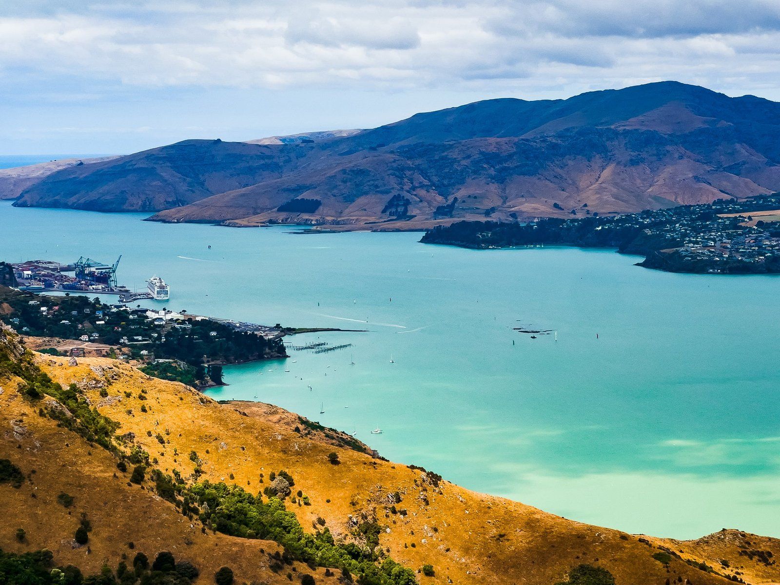
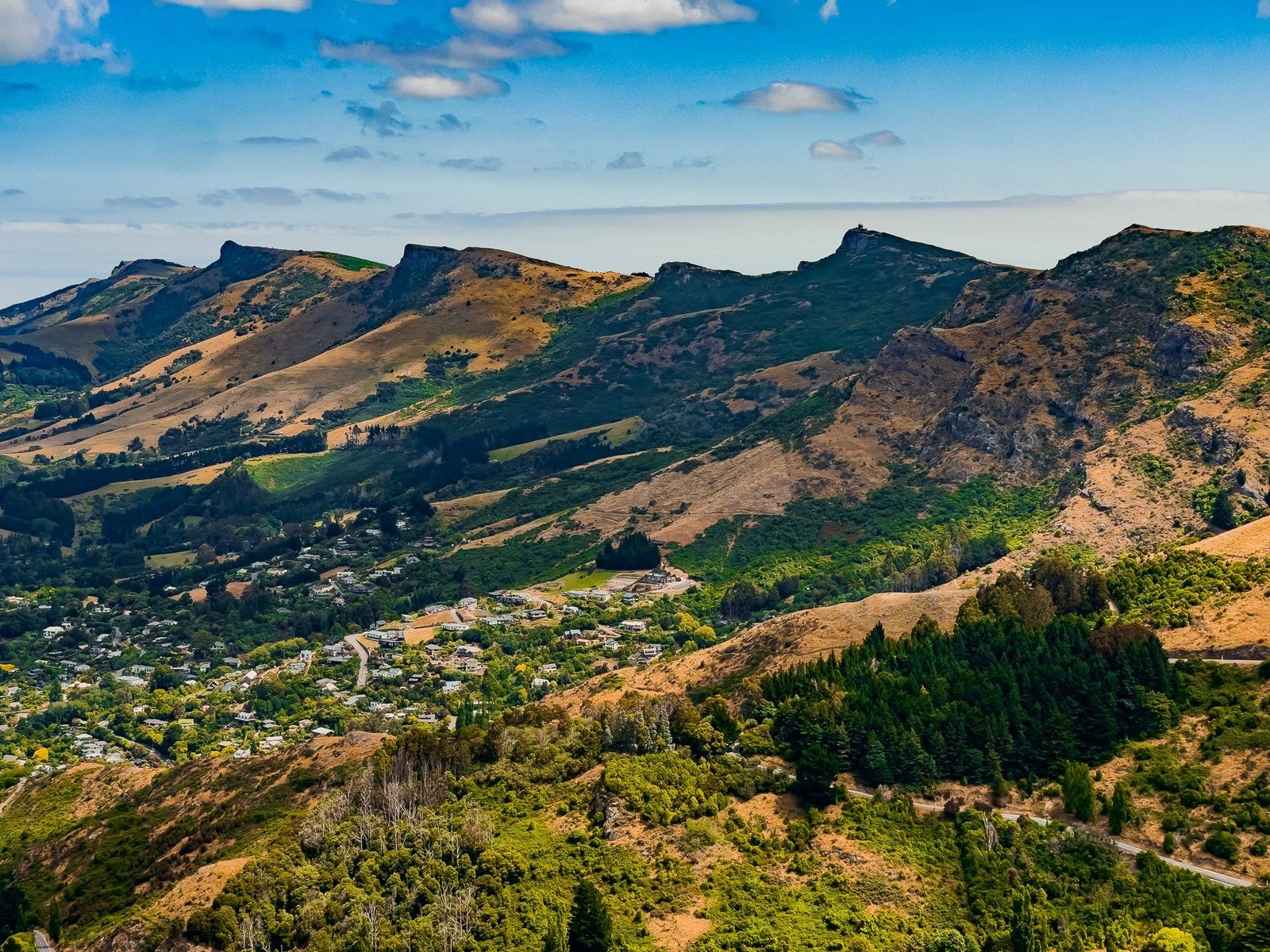
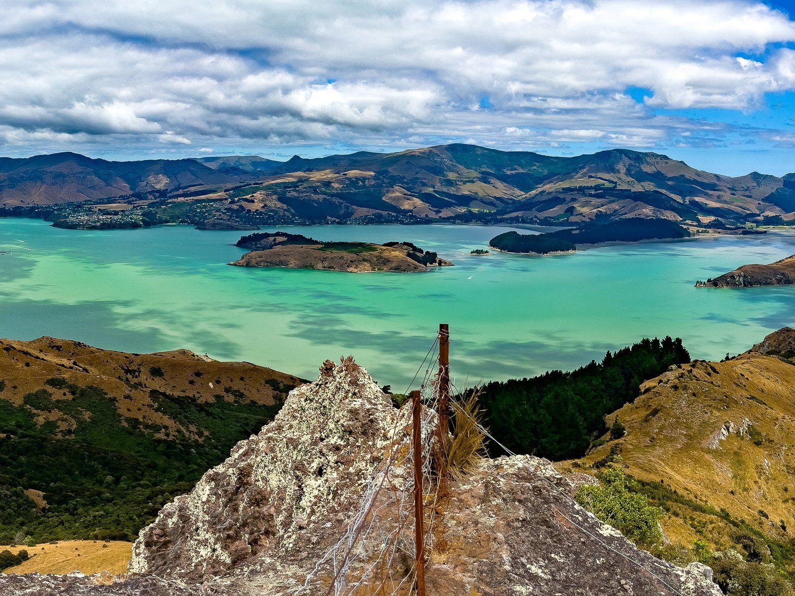
The first time you drive up onto Summit Road onto the top of the Port Hills at Sign of the Kiwi is breathtaking – over 400 metres above Lyttelton Harbour and Christchurch. But it also becomes a question of which of the many options to do next, with multiple tracks, viewpoints, reserves, and rocky peaks, all with a name (or two) and linked by various tracks.
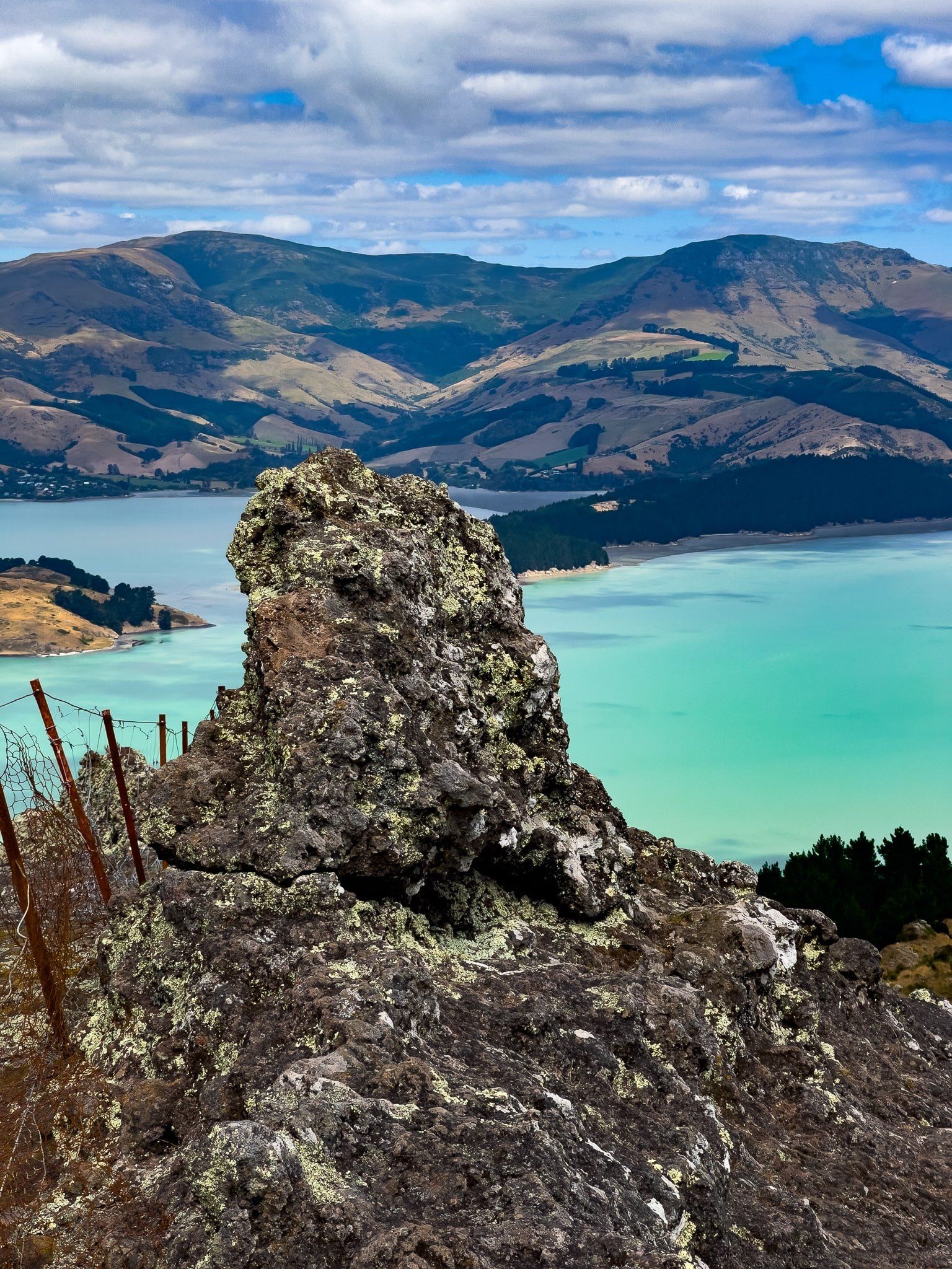
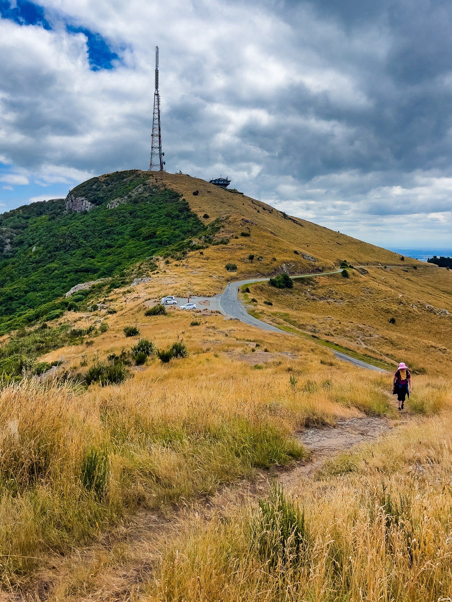
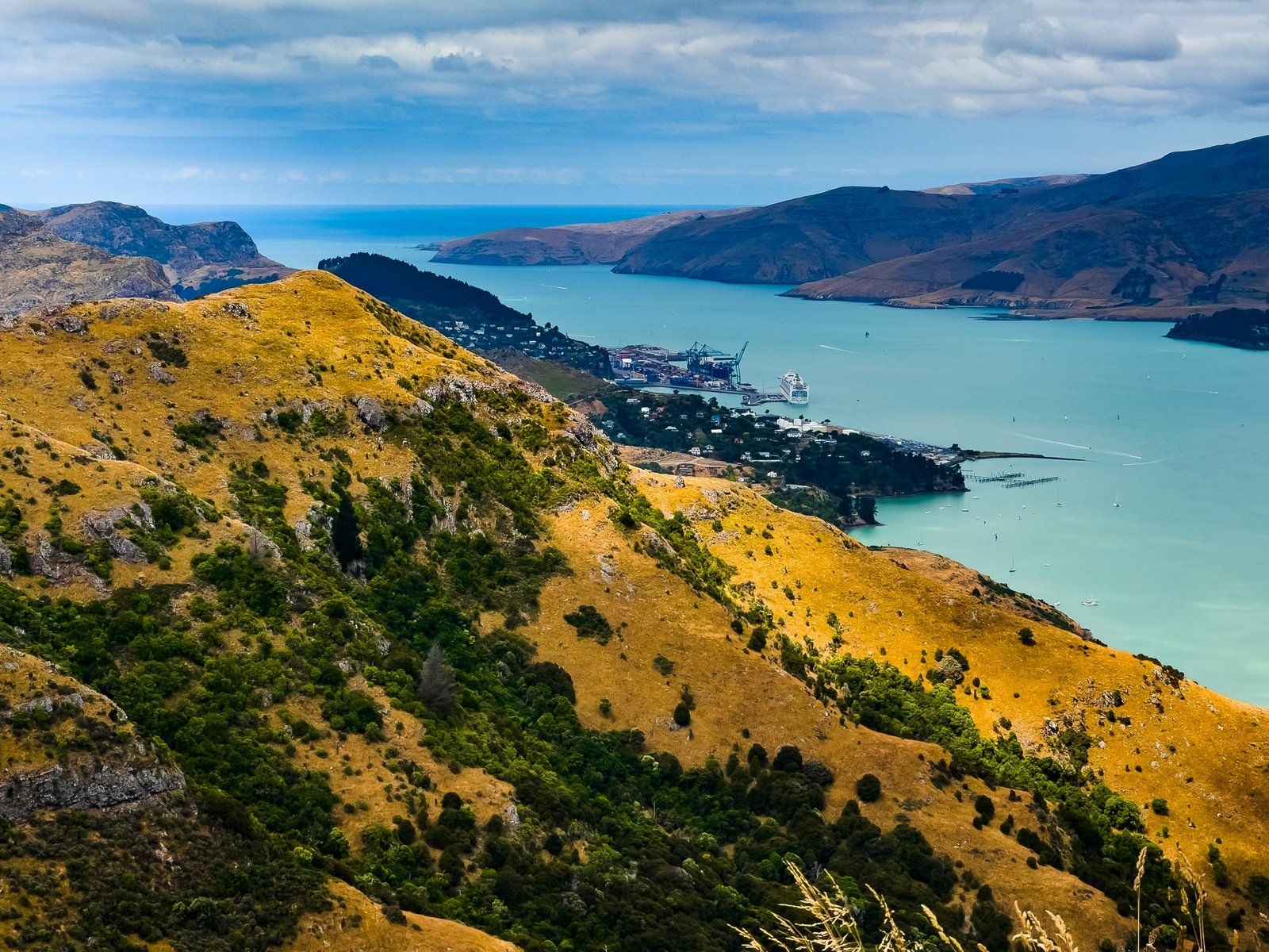
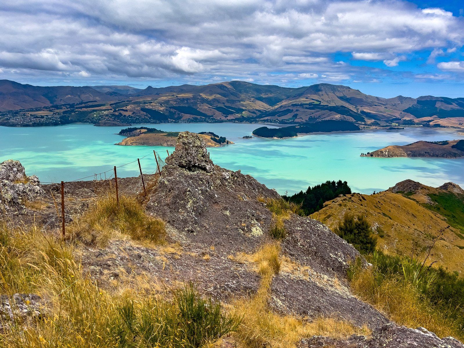
We turned onto Summit Road from Governors Bay to follow the crater rim north towards Lyttelton. We stopped at the first Bowenvale car park, above the Thomson Scenic Reserve, north of Te Heru o Kahukura / Sugarloaf. From there, you can follow the main track south along the side of Heru o Kahukura / Sugarloaf, which has a large transmitting tower on top. But it was more interesting to follow an informal track north then east onto a rocky point, possibly Taukahara on Topo Map NZ. The cliff-edge view and the “head” formed by one of the rocky outcrops were superb from here.