Exploring Upoko-o-Kurī / Witch Hill
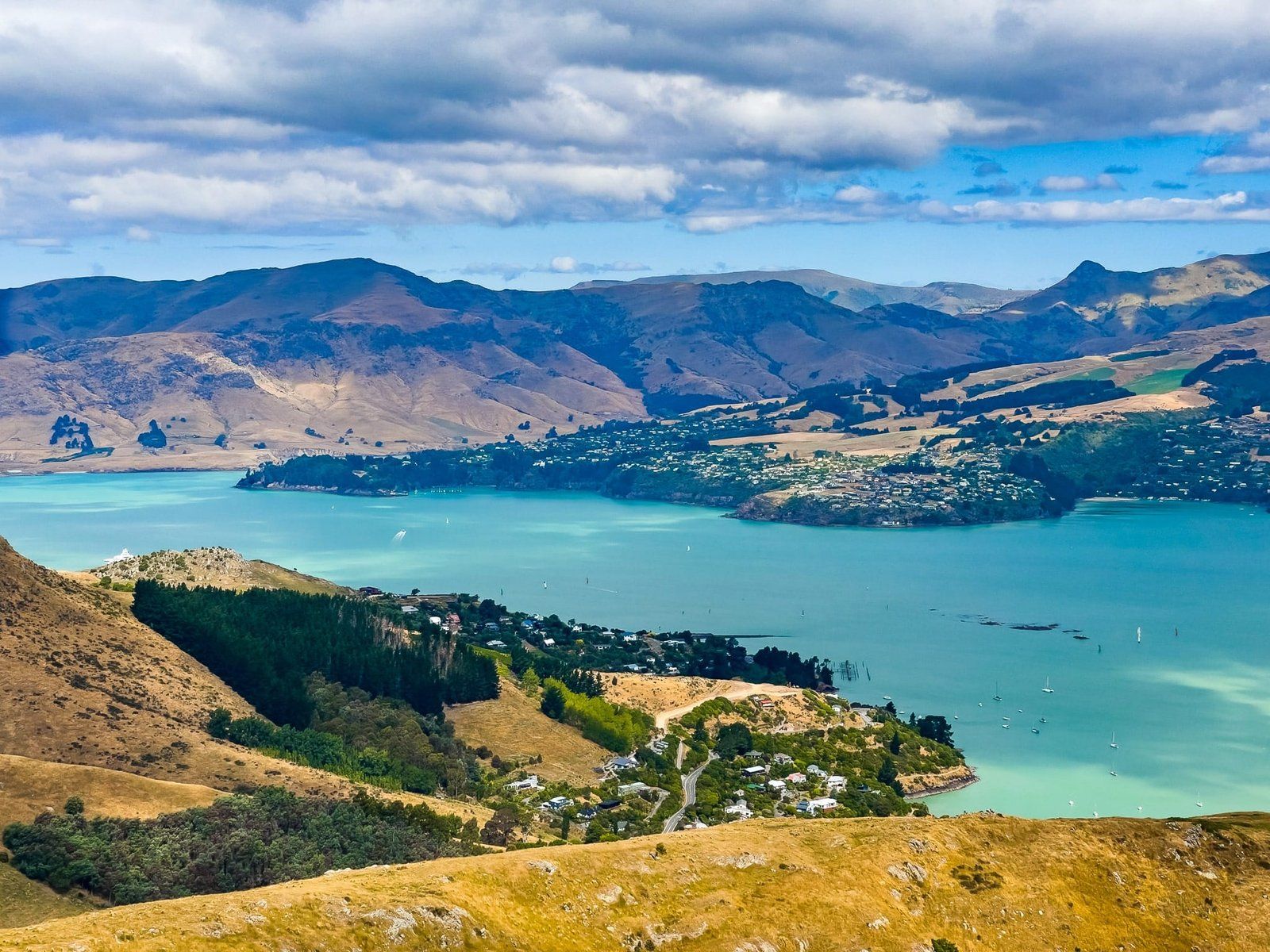
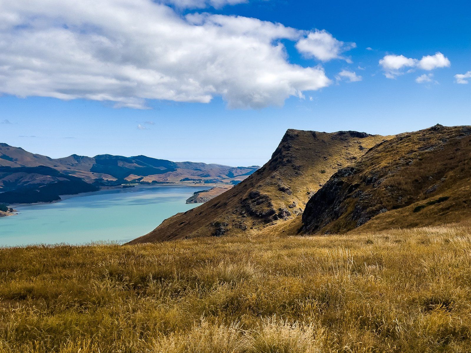
Upoko-o-Kurī, also known as Witch Hill, is located along Summit Road in the Port Hills of Christchurch. This spot offers a stunning vantage point over Lyttelton Harbour, making it a worthwhile destination for those seeking panoramic views and a touch of adventure.
Scenic Views and Nearby Trails
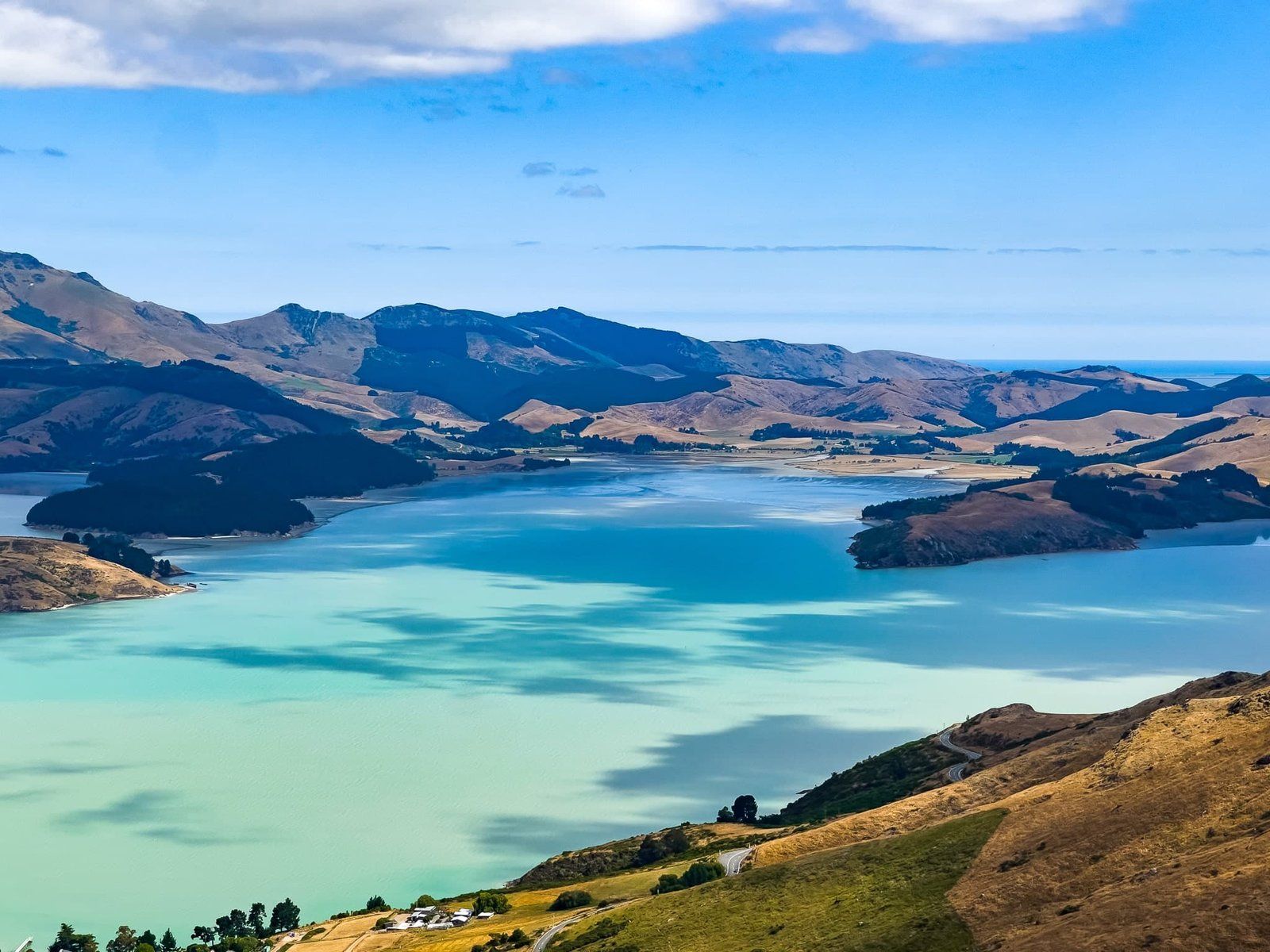
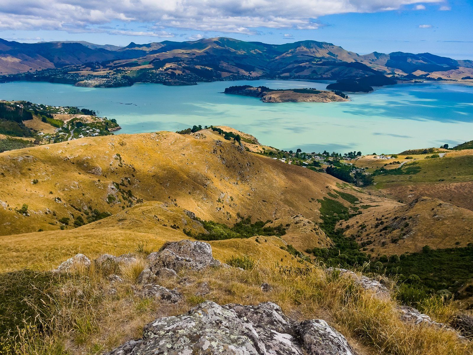
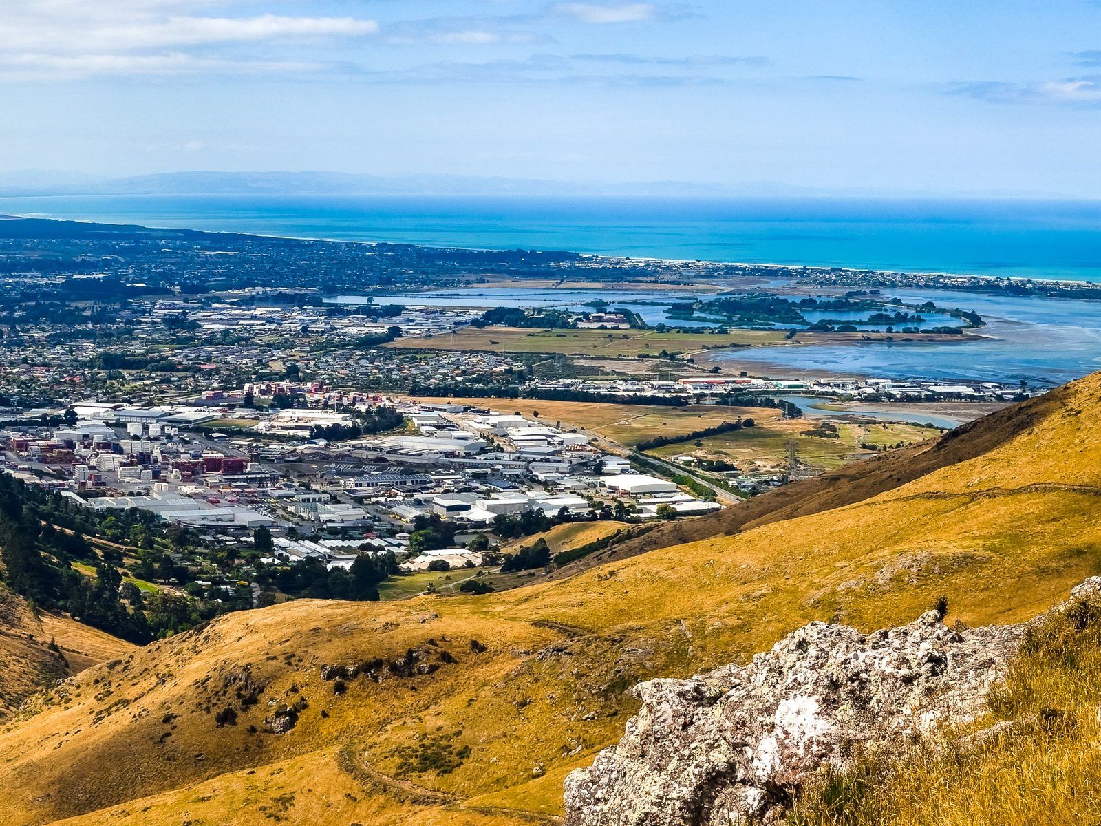
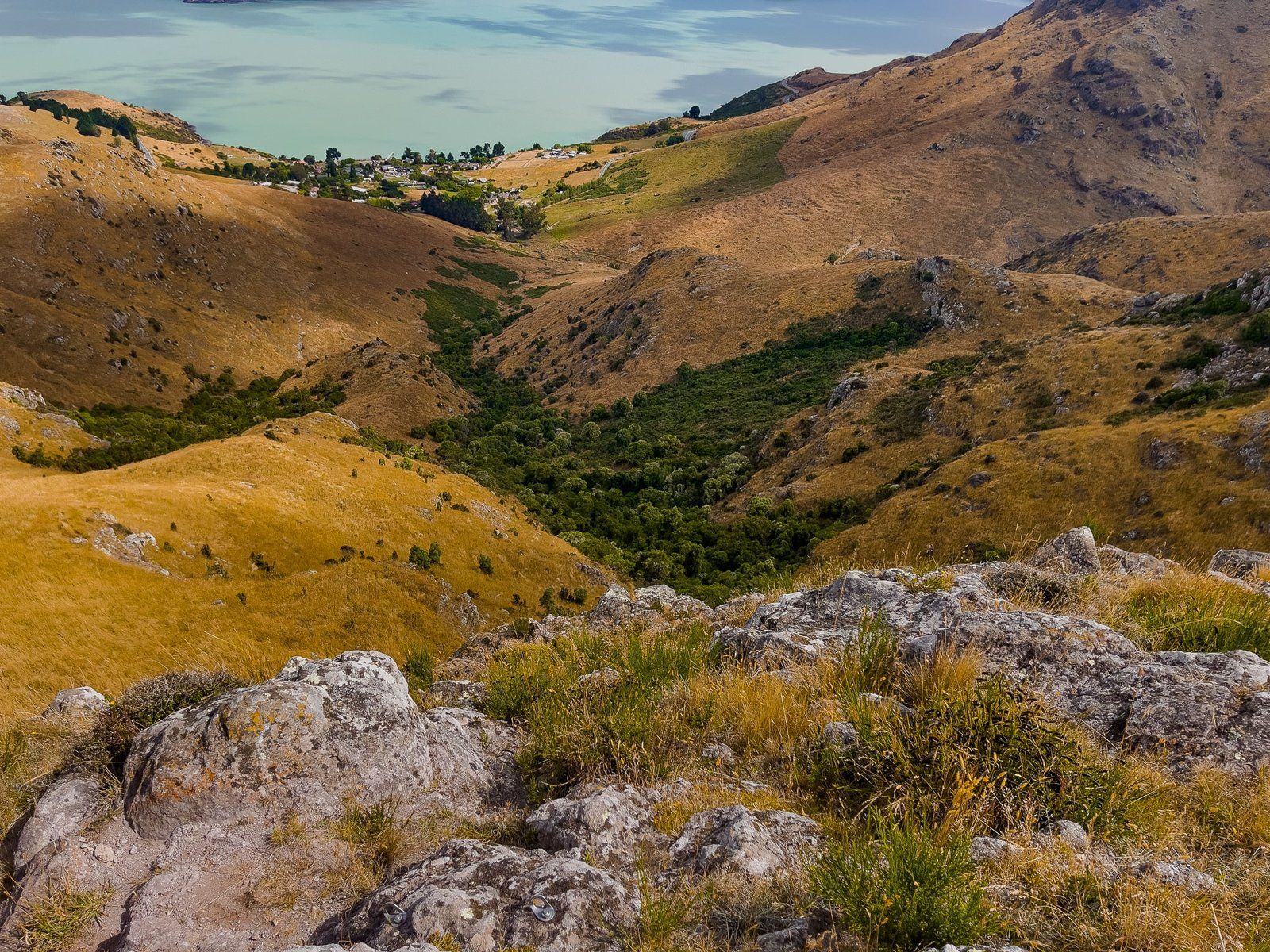
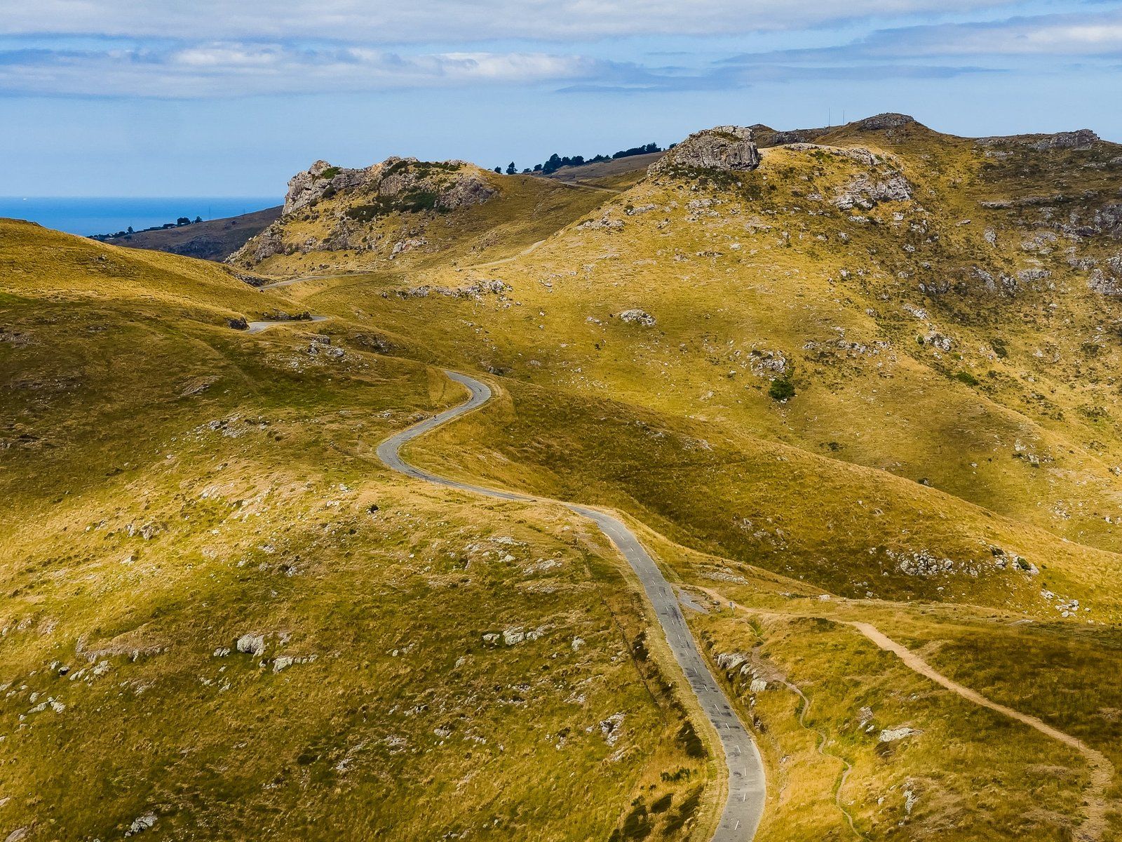
The car park situated between Mt Vernon and Upoko-o-Kurī provides a superb view, particularly over Lyttelton Harbour. From here, you can choose to explore different routes. To the right, there is a path leading up Mt Vernon, while to the left, a trail runs beneath a rocky cliff face, often frequented by rock climbers, around the side of Upoko-o-Kurī.
The established path does not take you to the top, so an ascent involves pushing through thigh-high long grass and scrambling up the rocky outcrop at the peak. Although this route is more challenging than the walk up Mt Vernon, it is more fun and the hill certainly lives up to its intriguing name.
Two Curious Names
Upoko-o-Kurī means "the dog's head" in Māori and refers to the peak's profile from a distance. Europeans called it Witch Hill, apparently due to Māori tapu associated with the area.
Getting to Upoko-o-Kurī / Witch Hill
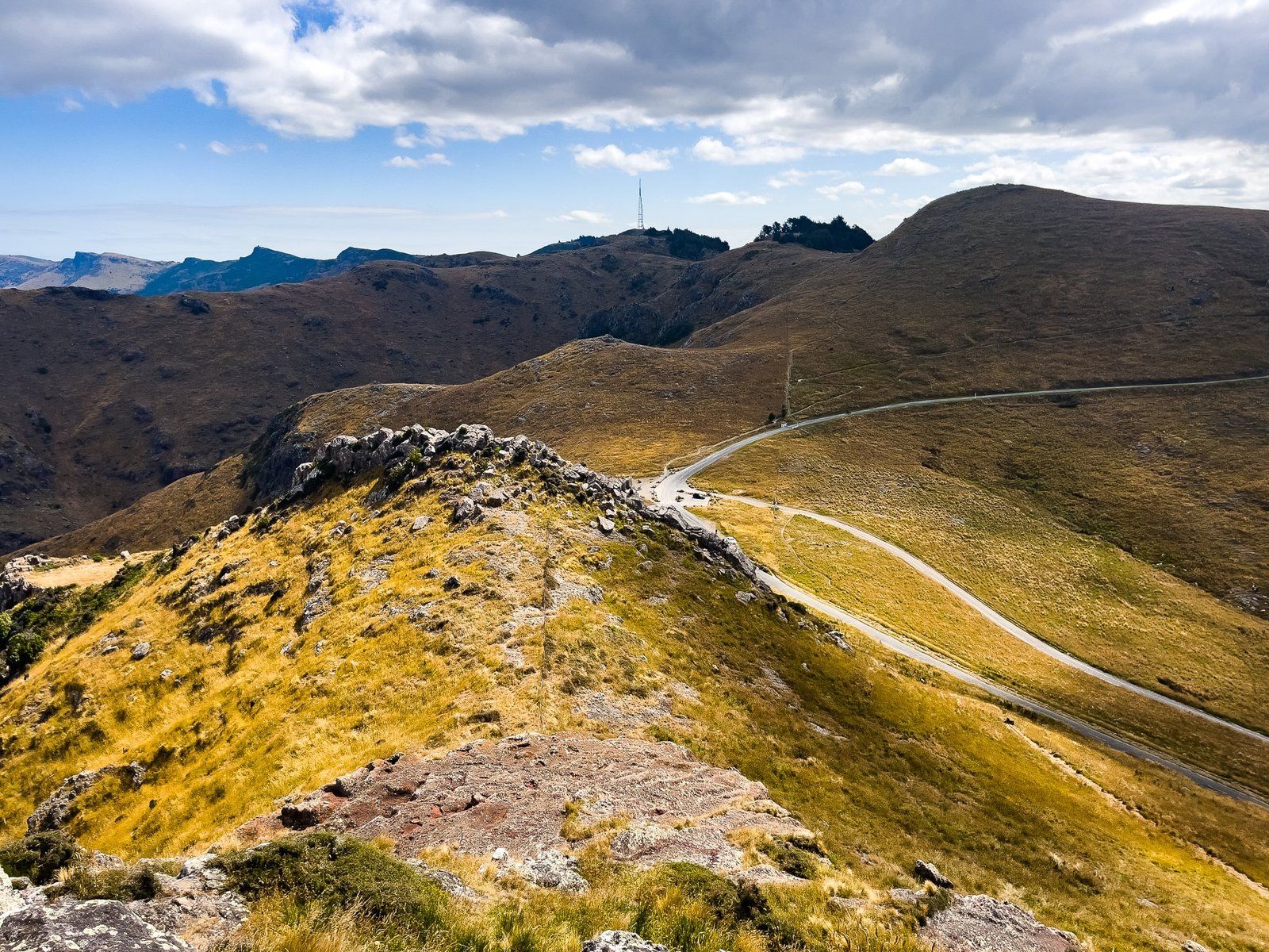
To reach Upoko-o-Kurī, drive northeast along Summit Road from the Sign of the Kiwi at the intersection with Dyers Pass Road until you reach the car park between Mt Vernon and Witch Hill.
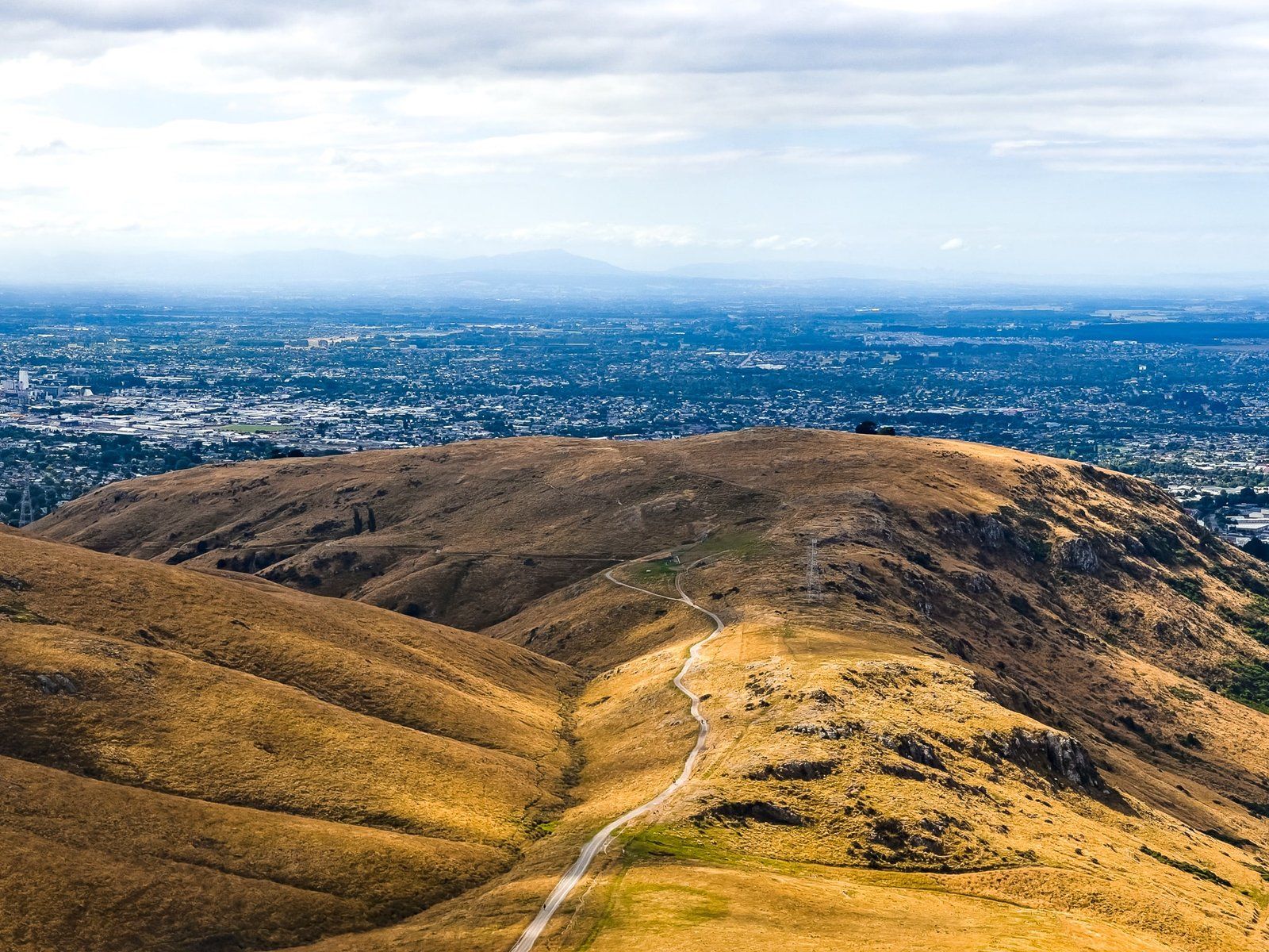
From here, you can also access the next series of peaks, including Te Moenga o Wheke (the Tors), Te Tihi o Kahukura (Castle Rock), Mt Cavendish, and Tauhinukorokio (Mt Pleasant). This part of the road is restricted to bicycles and foot traffic.