
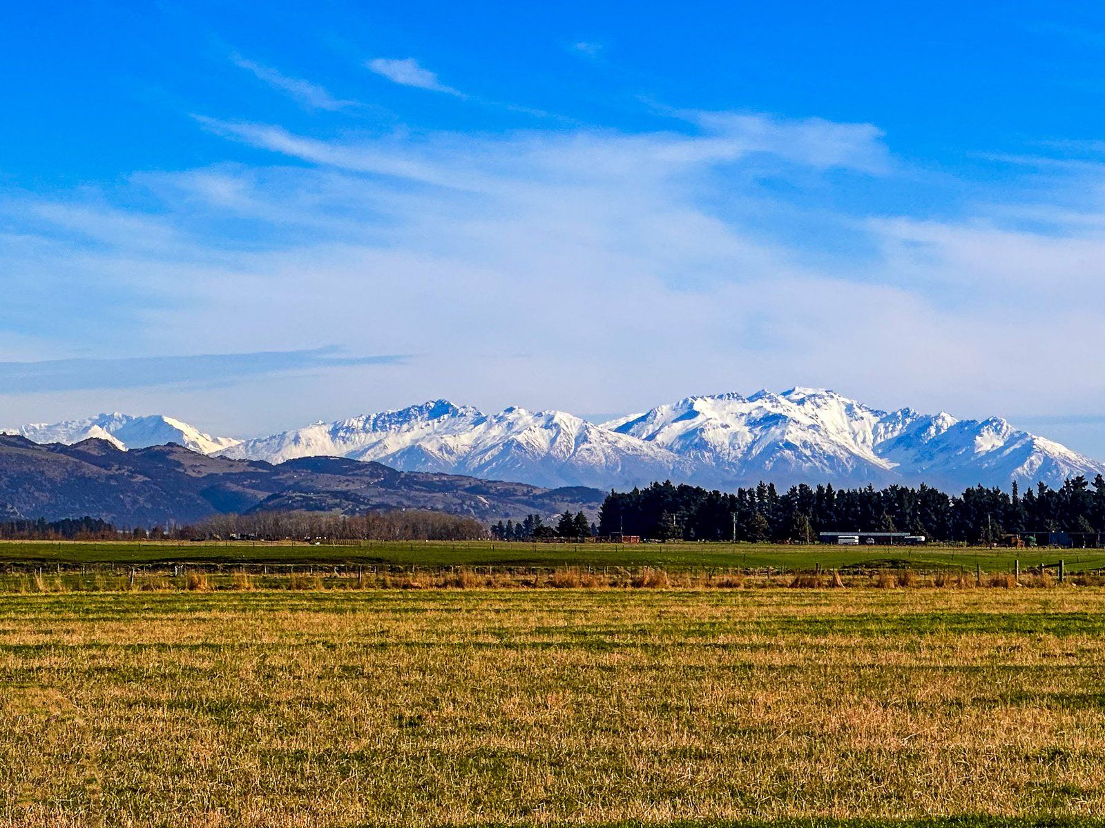
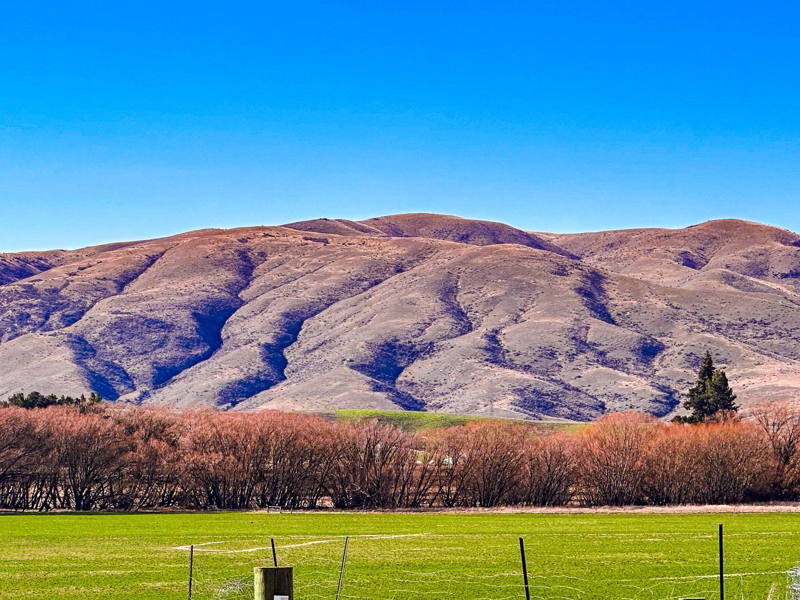
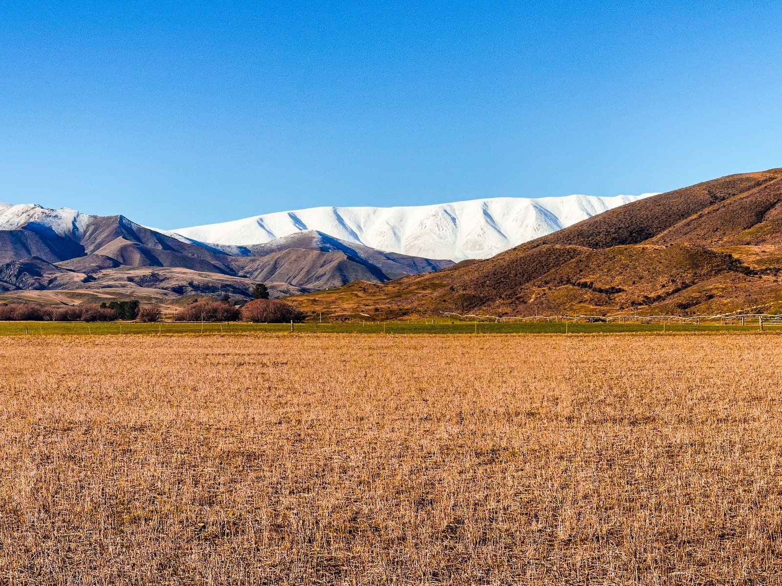
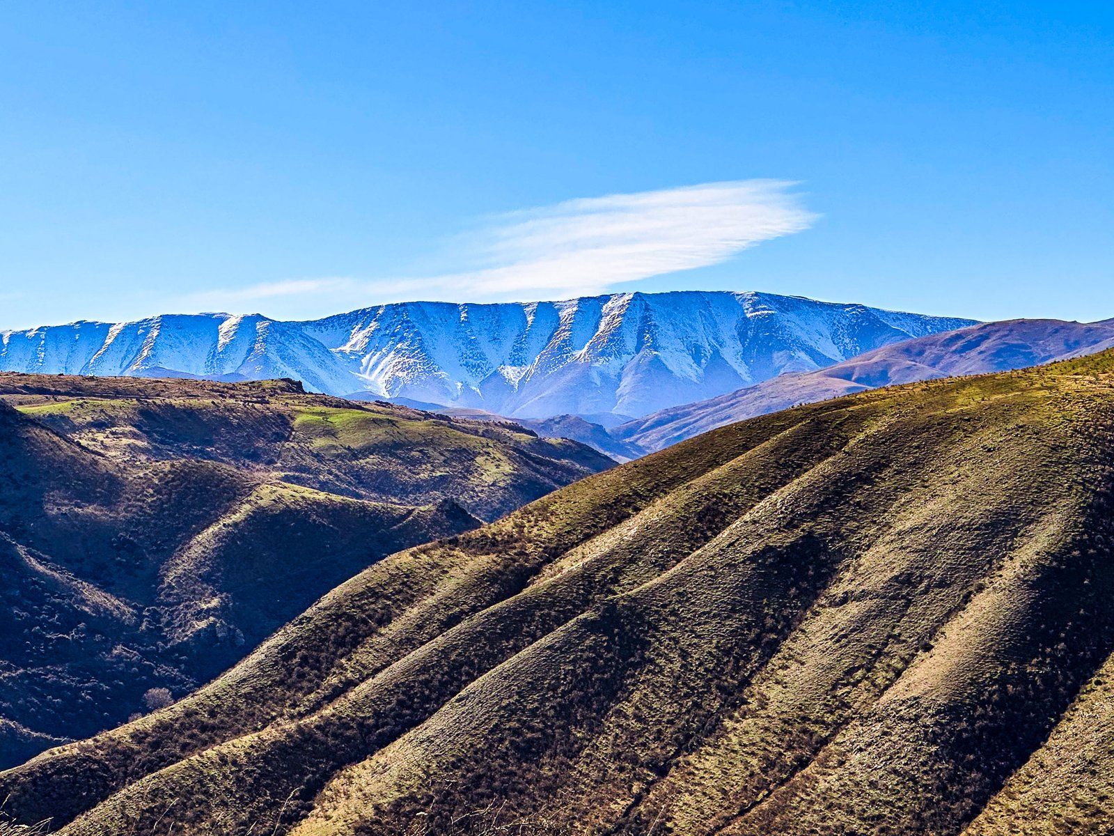
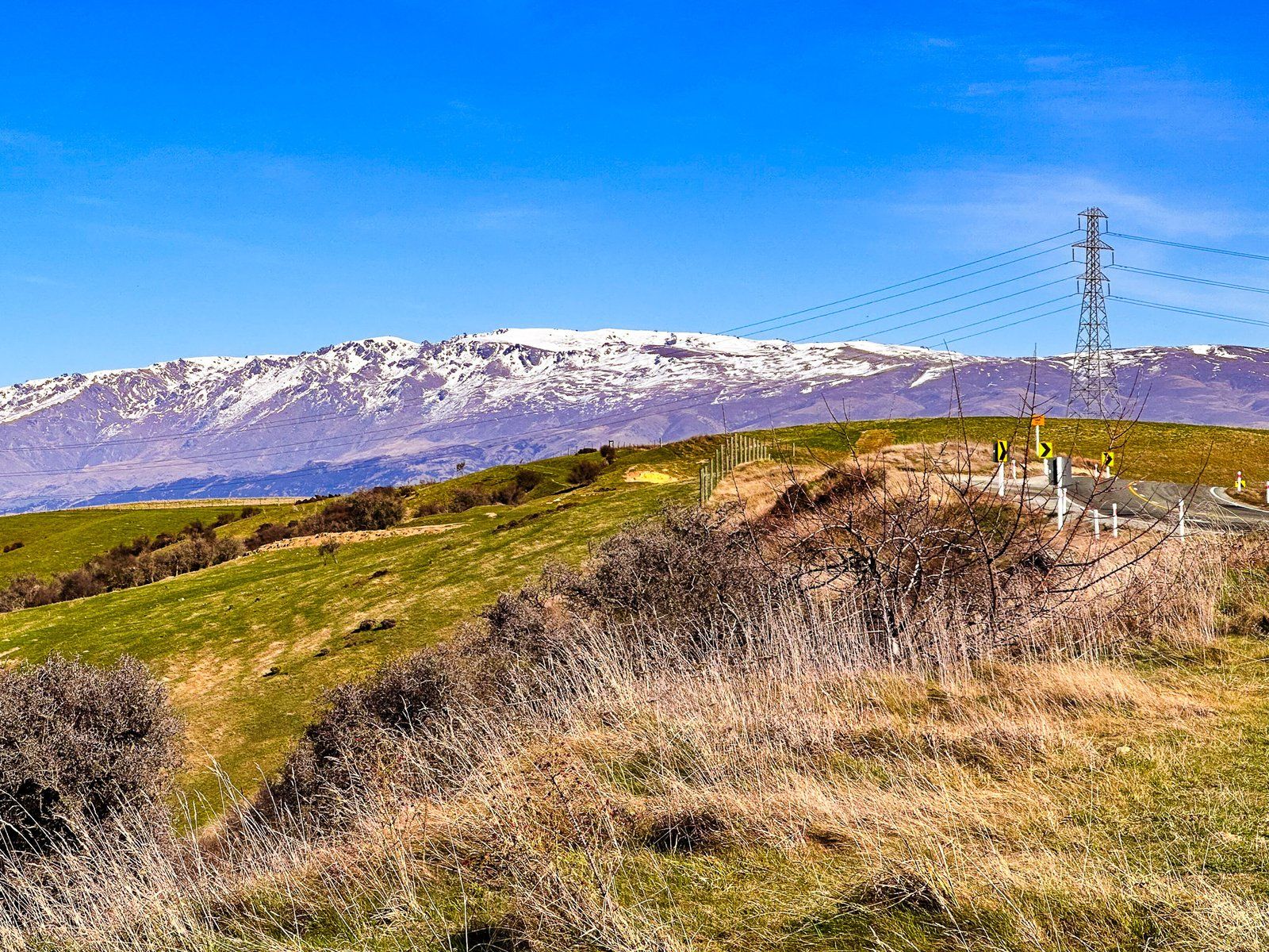
The 60 km section of State Highway 8 from Tarras over Lindis Pass to the Ahuriri Valley is full of dramatic scenery. A worthwhile trip, it has several points of interest. This trip start at the south end near Tarras, at the intersection with State Highway 8A to Wānaka. The highway crosses a wide irrigated farmed plain, with the Dunstan Mountains to the east. From the roadside, you can look up the Clutha River valley to the Buchanan Peaks and Mount Alta. To the northeast is a view of St Bathans Range, with seasonal snow on this distinctive flat-topped range.
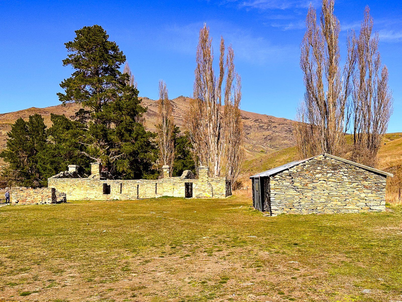
From the plain, the road climbs over Cluden Hill, then drops down to the Lindis Valley and Lindis River. There are more fantastic views of St Bathans Range to the east, with 1226 metre Lindis Peak prominent to the northwest. You can take a detour on Old Faithful Road into Nine Mile Reserve at the valley’s north end. This contains the Lindis Hotel ruins at Goodger Flat, the site of the first (very short) gold rush in NZ.
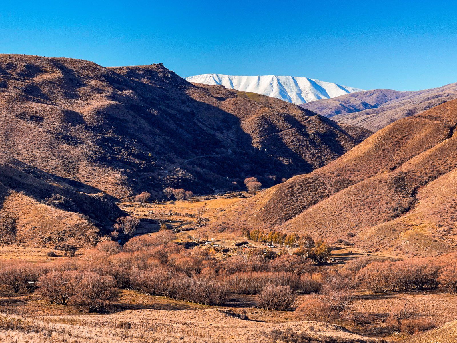
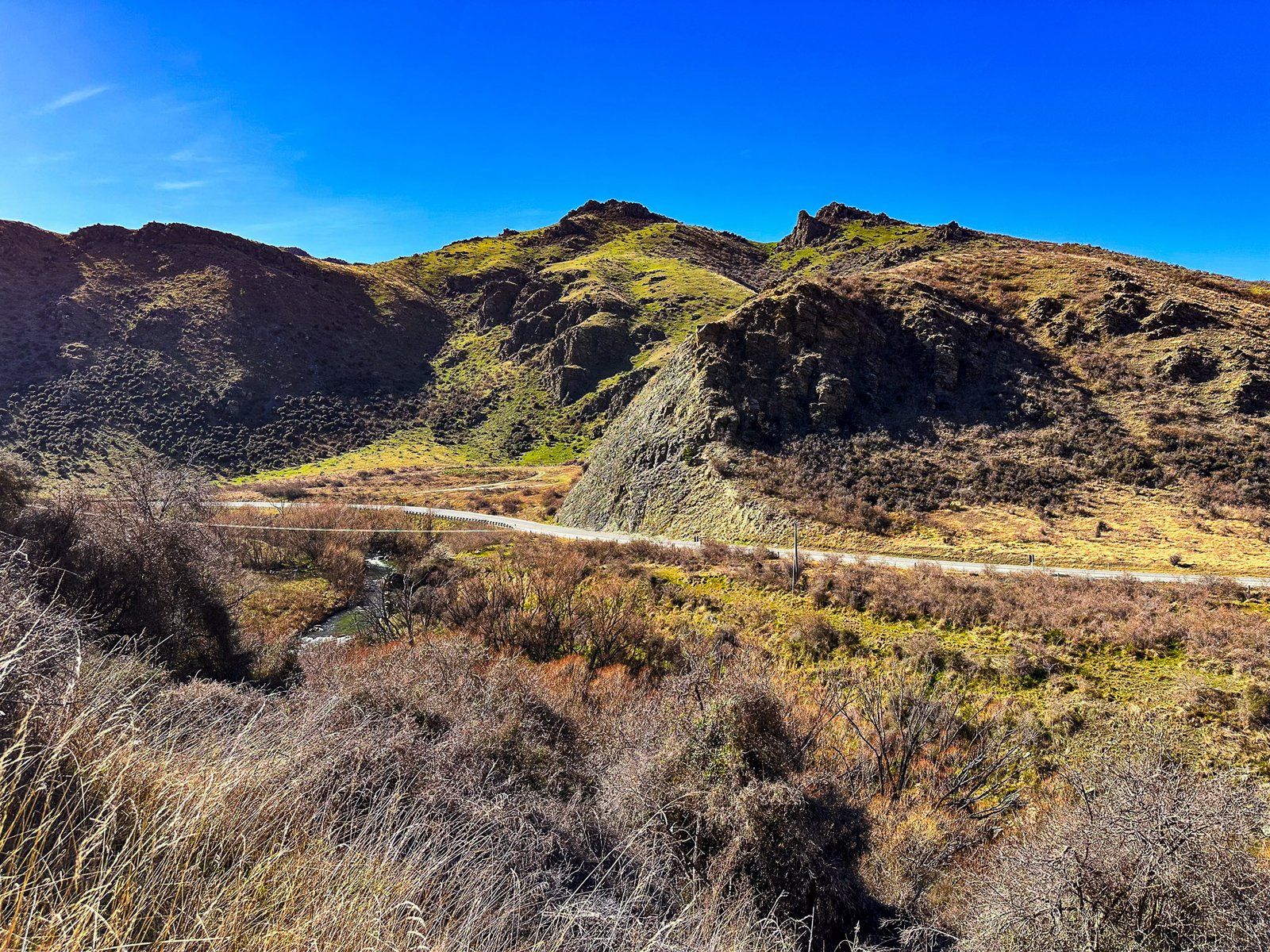
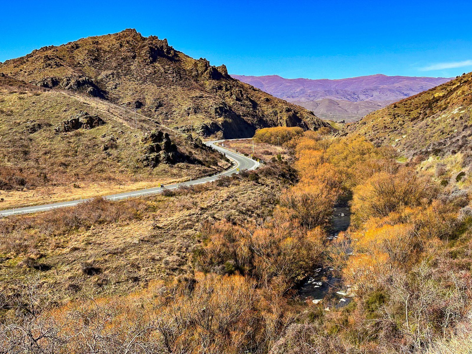
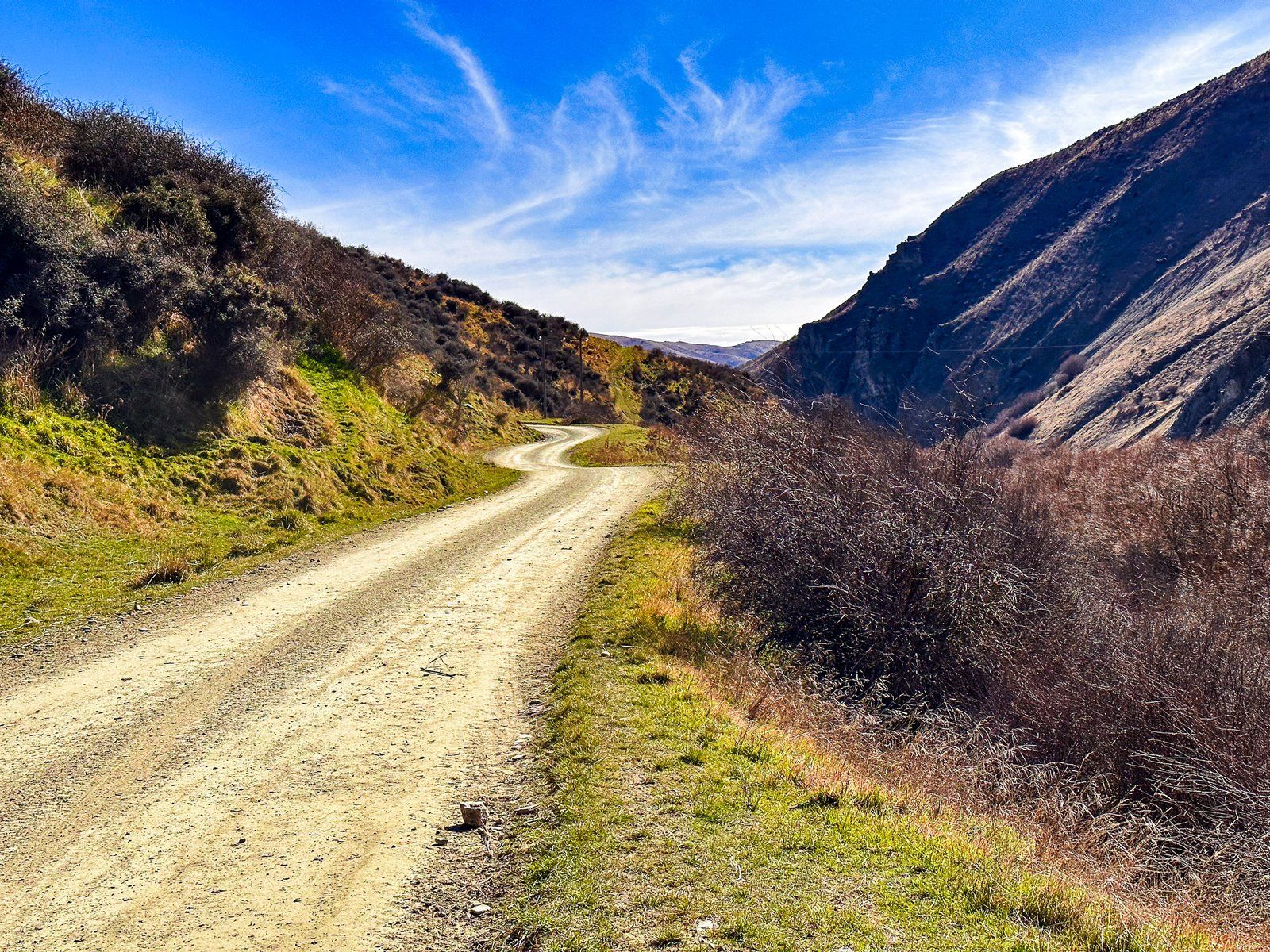
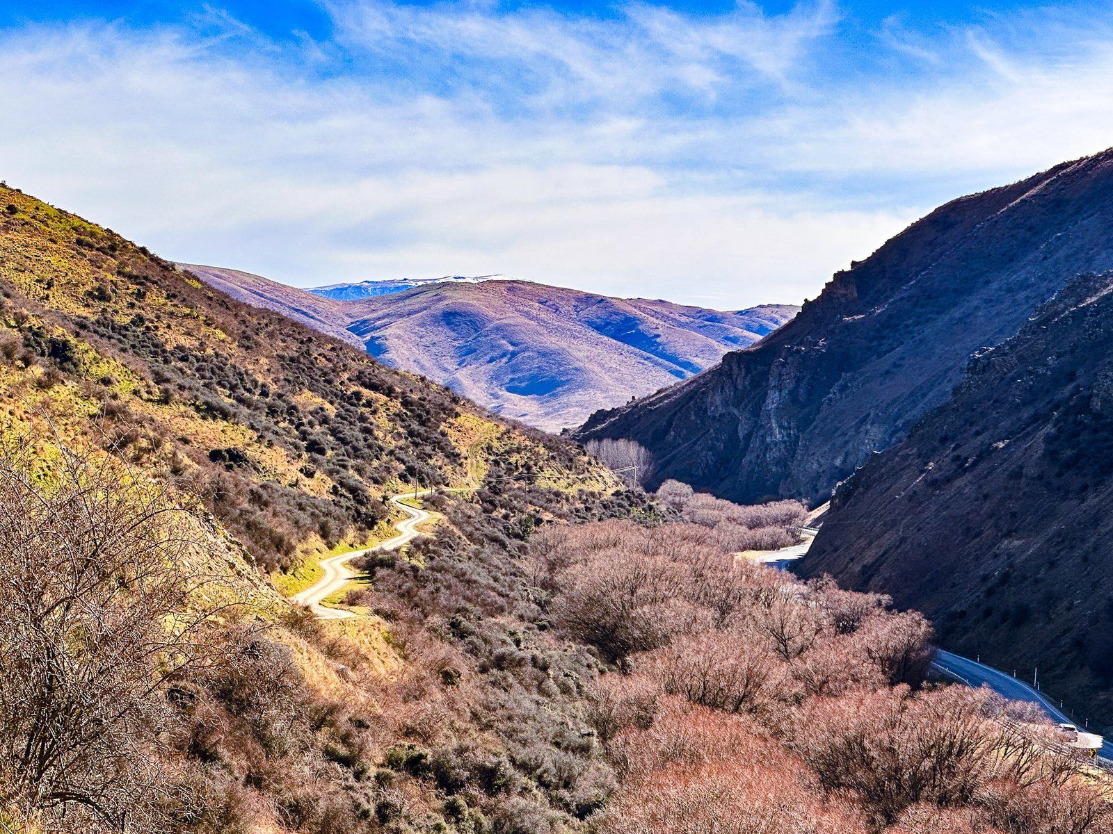
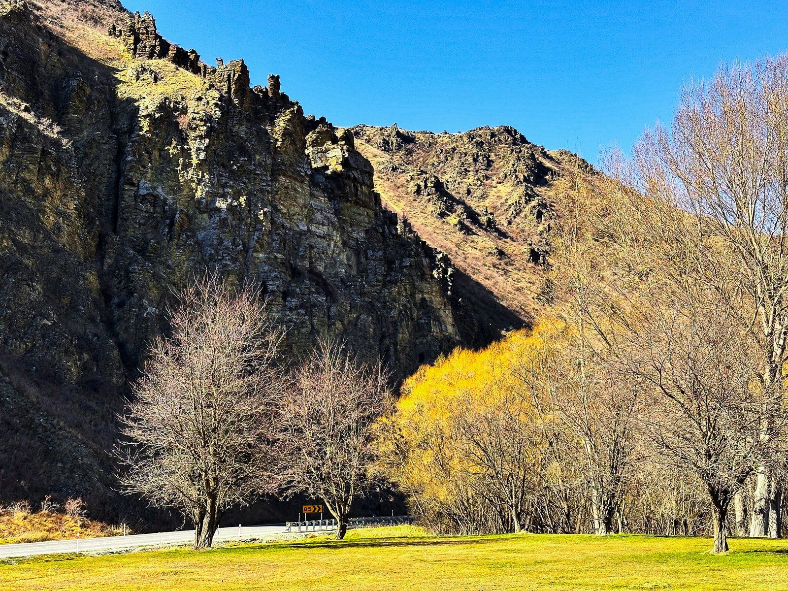
Continuing from the north end of Lindis Valley, the highway enters a four km canyon carved out by the river. After leaving the rugged canyon, the highway crosses another valley with Goodger Flat to the west and Georges Flat to the east.
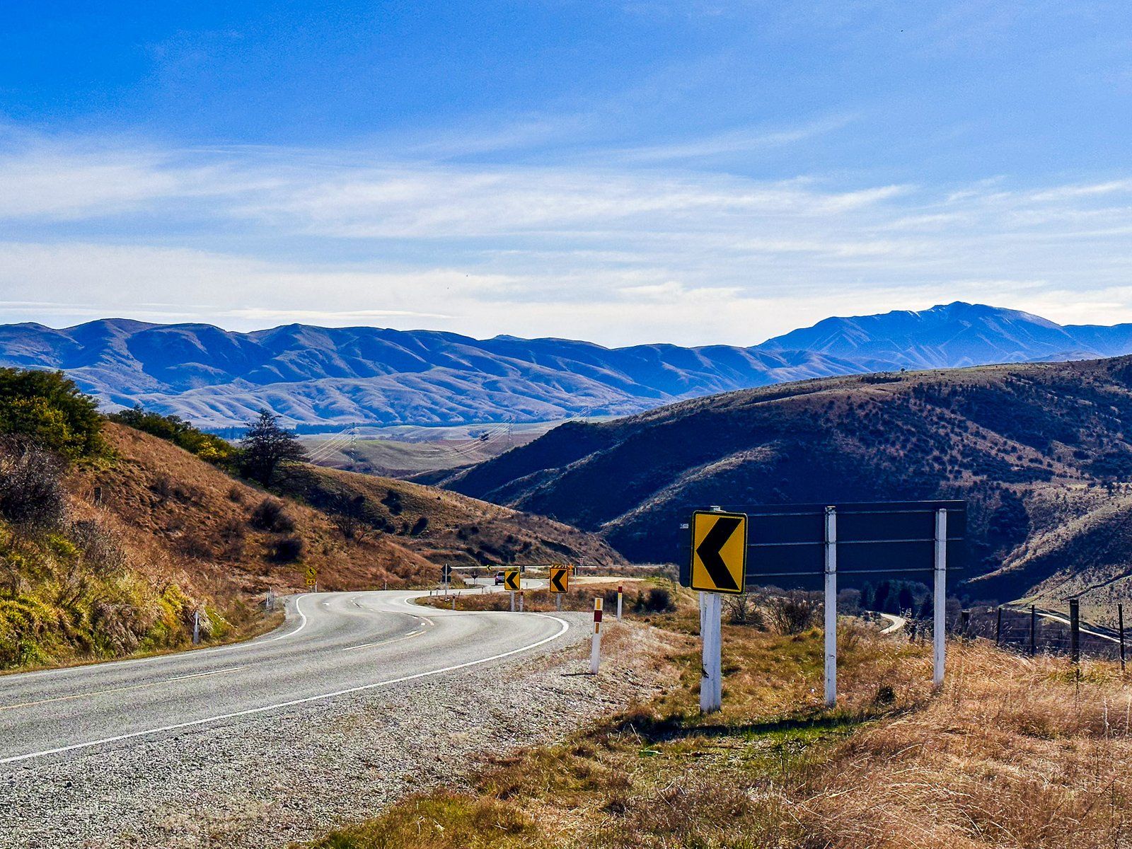
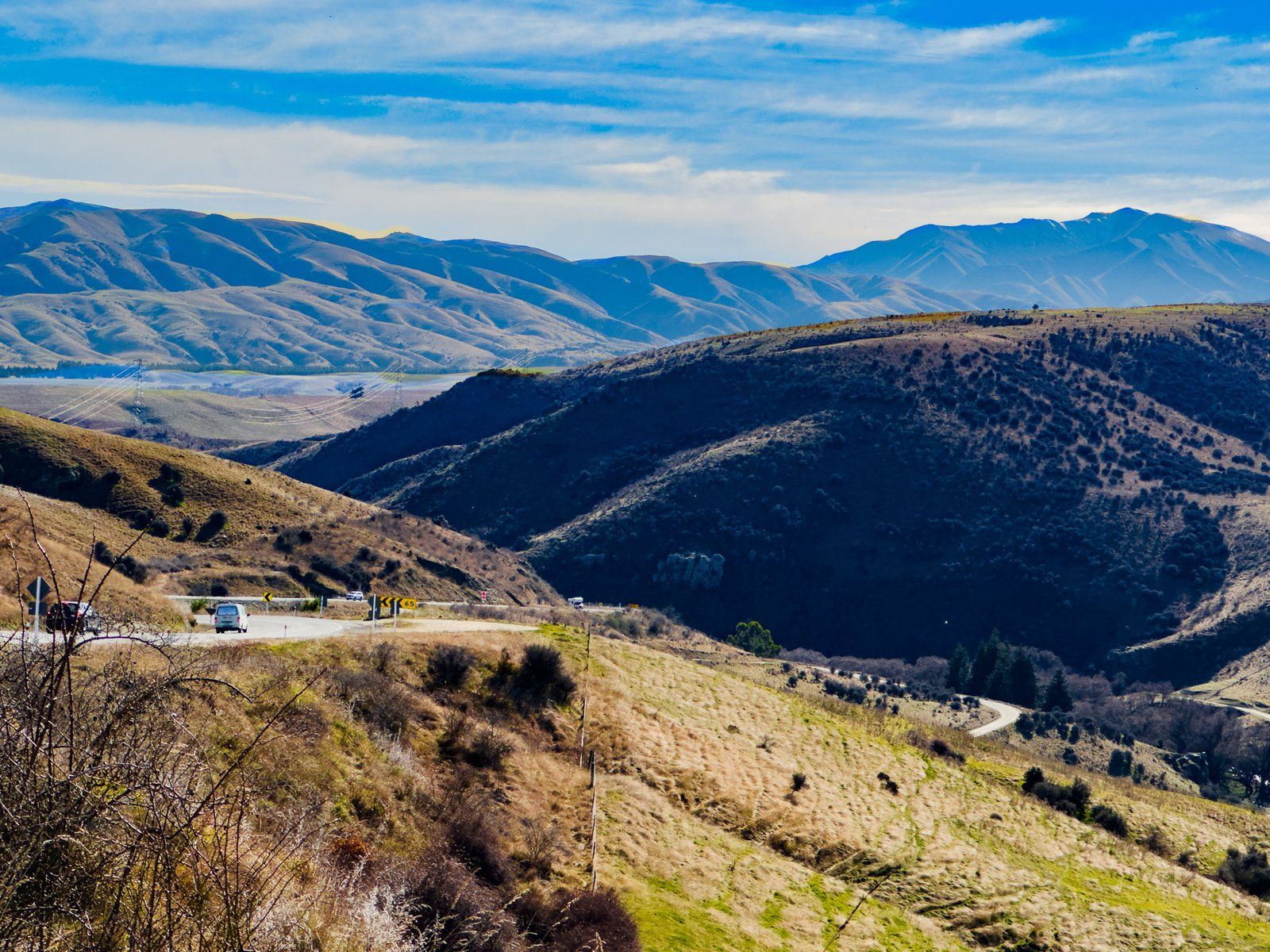
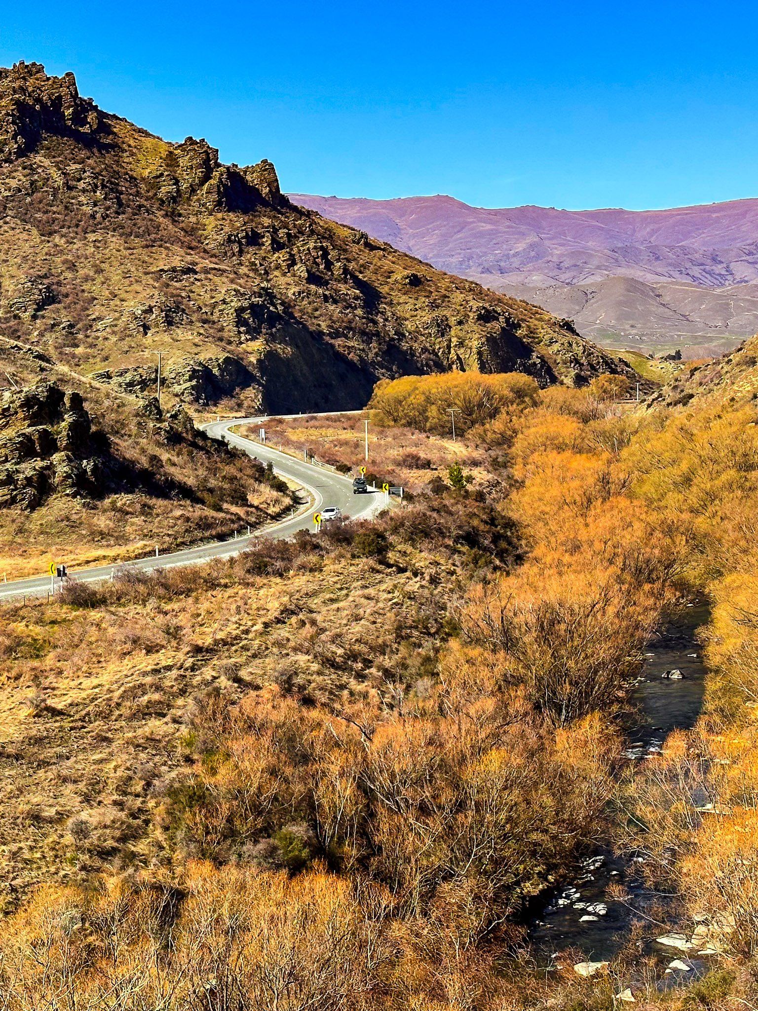
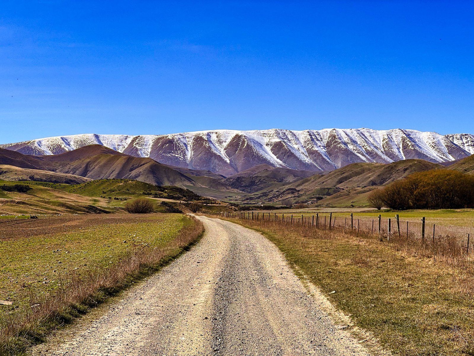
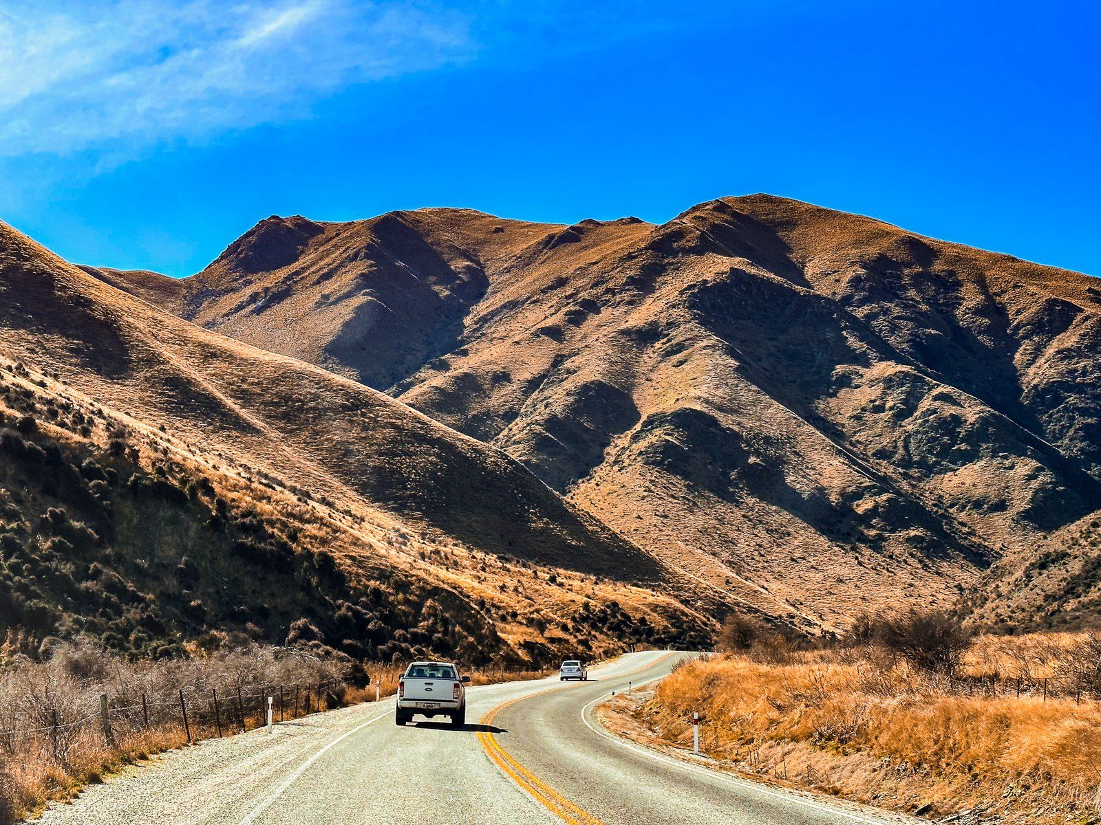
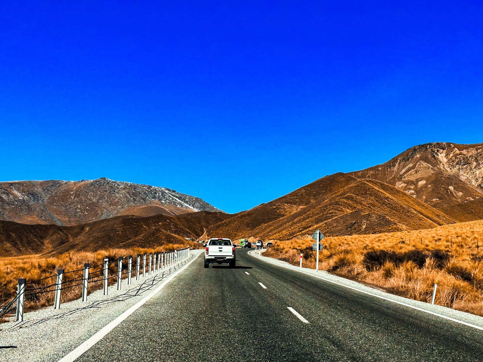
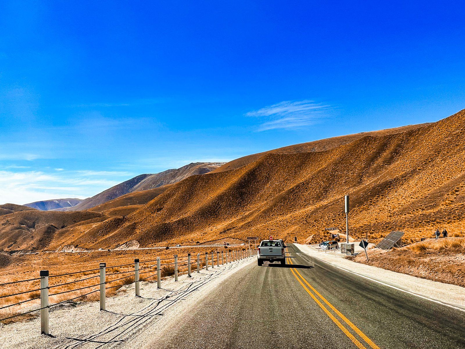
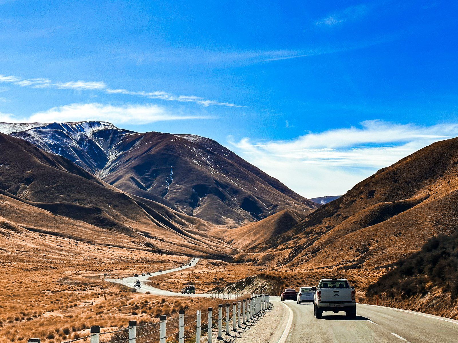
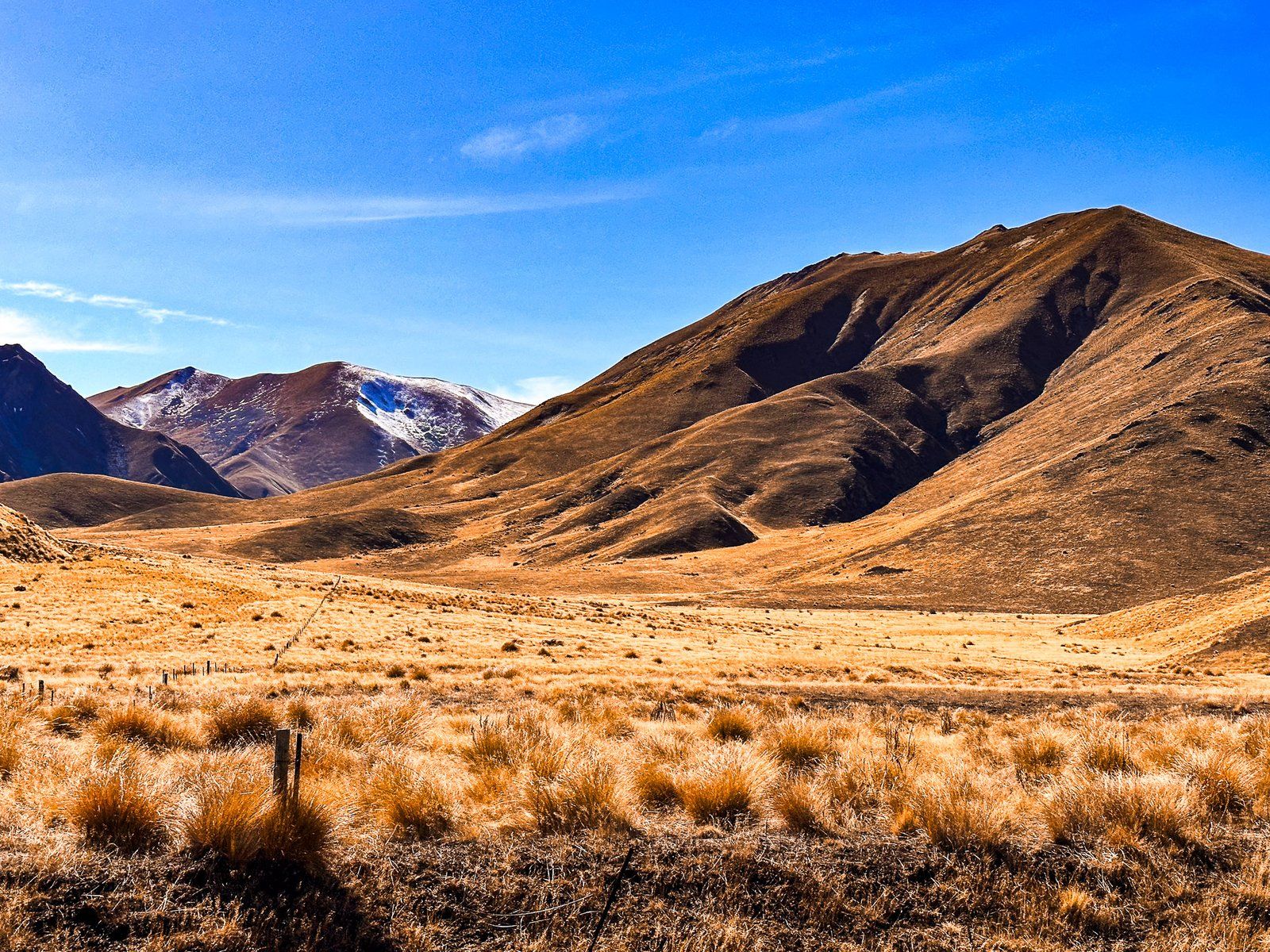
After the flats, the highway continues to follow the river through another short canyon. Here there is a rest stop with gold mining history by the river. The terrain opens up again before the river heads north into the mountains on the west side of the Ahuriri Valley, while the road starts its climb to Lindis Pass at 971 metres. This is one of the best drives through high mountain country in NZ, full of golden tussock. Snow occasionally affects the road, although closures are generally short.
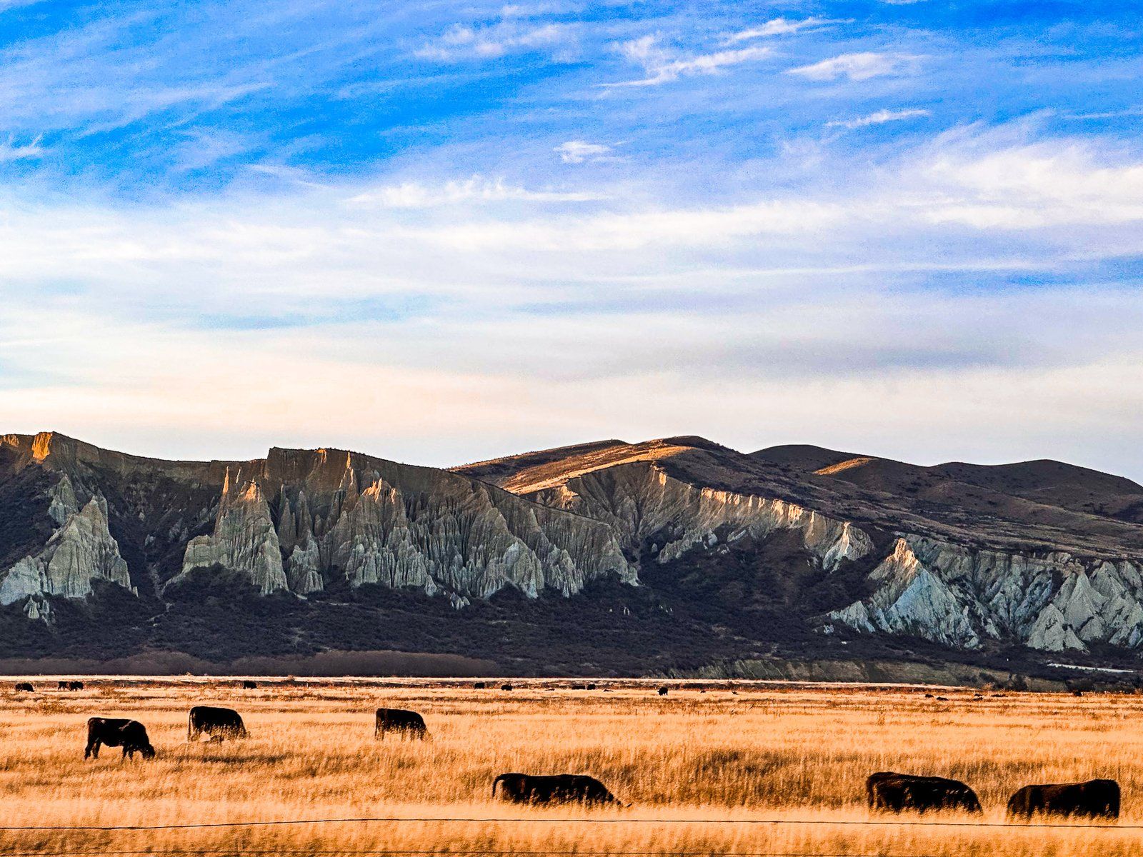
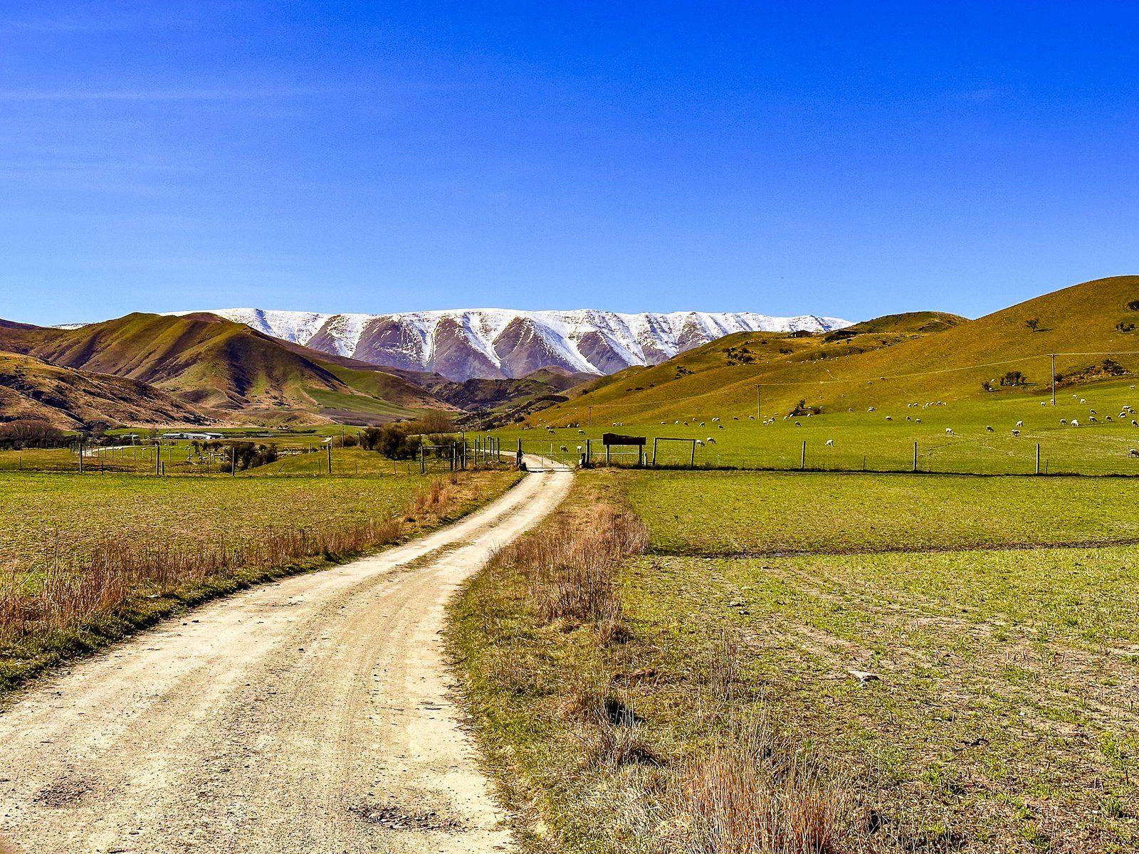
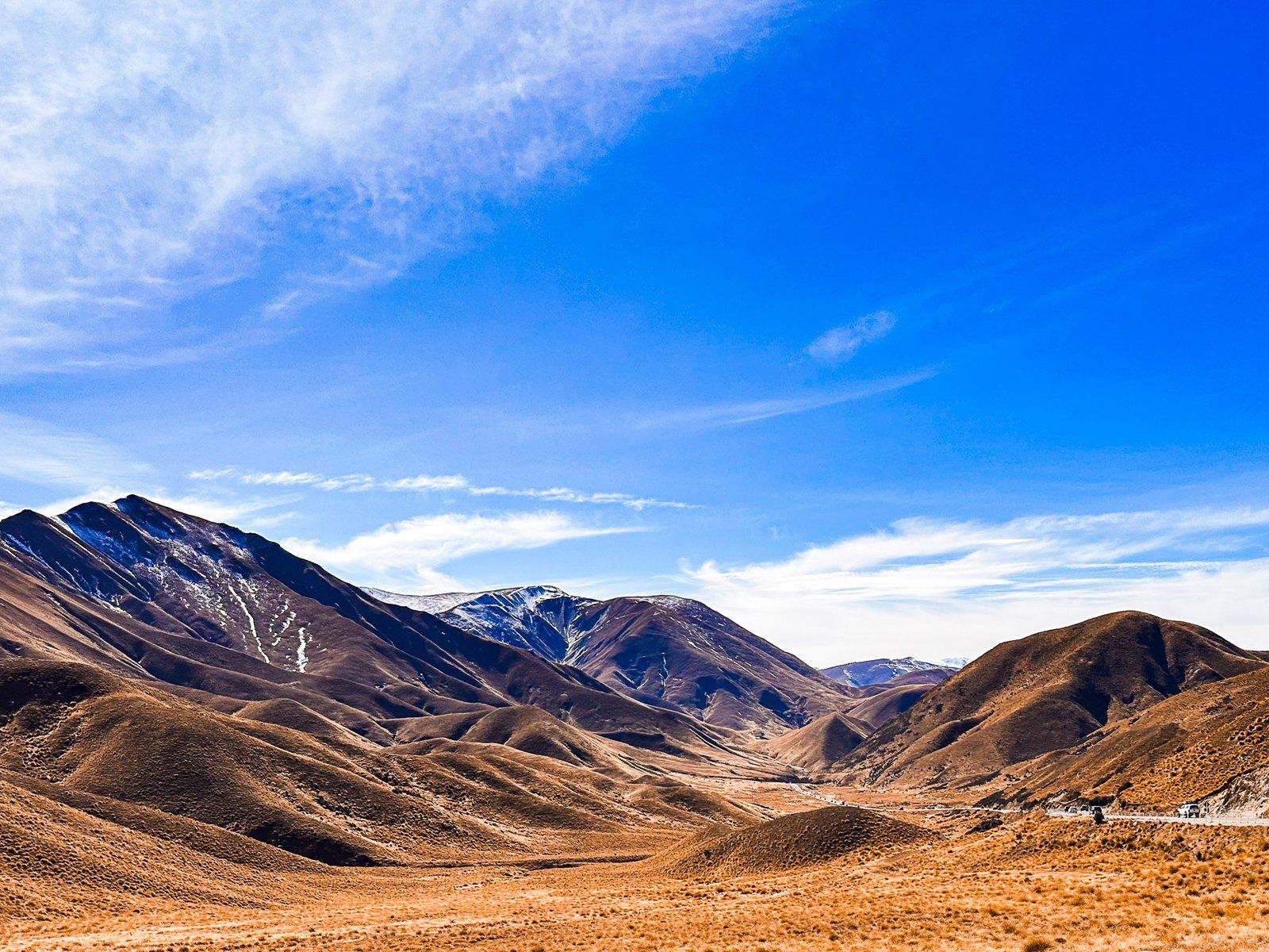
Dropping down from the Pass, you reach the intersection with Birchwood Road, which heads into the Ahuriri Valley. The highway then follows the wide Ahuriri River plain to Omarama, with a nice north view of the Clay Cliffs.
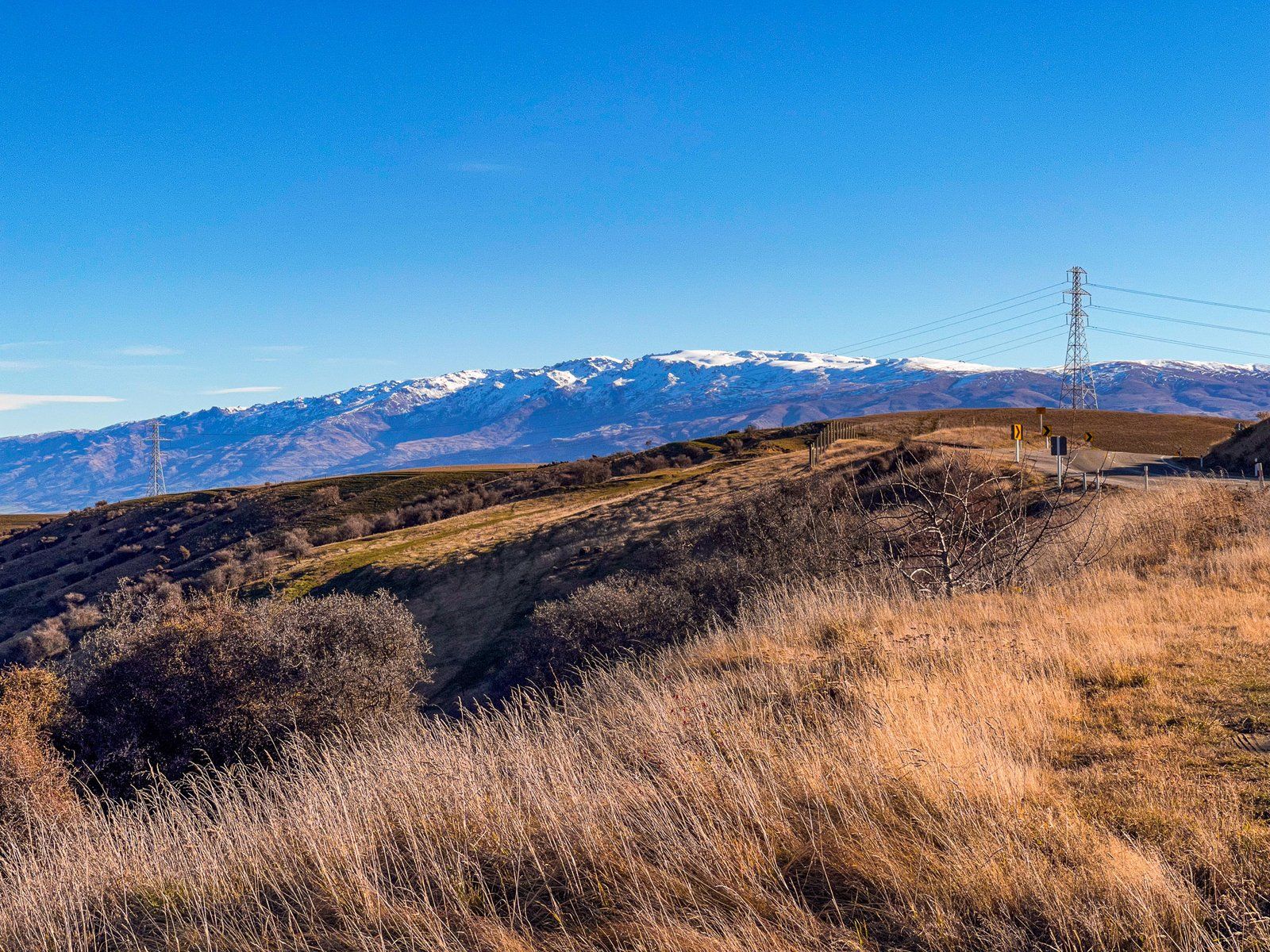
Cluden Hill Viewpoint
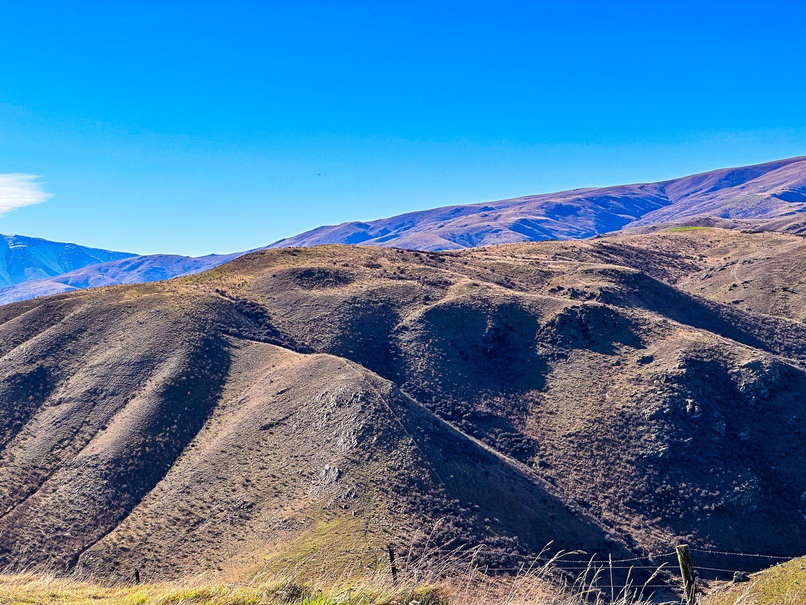
It is easy to miss the viewpoint at Cluden Hill, north of Tarras on State Highway 8. However, there is a sign marking the top of the rise, room to park, and a good view.
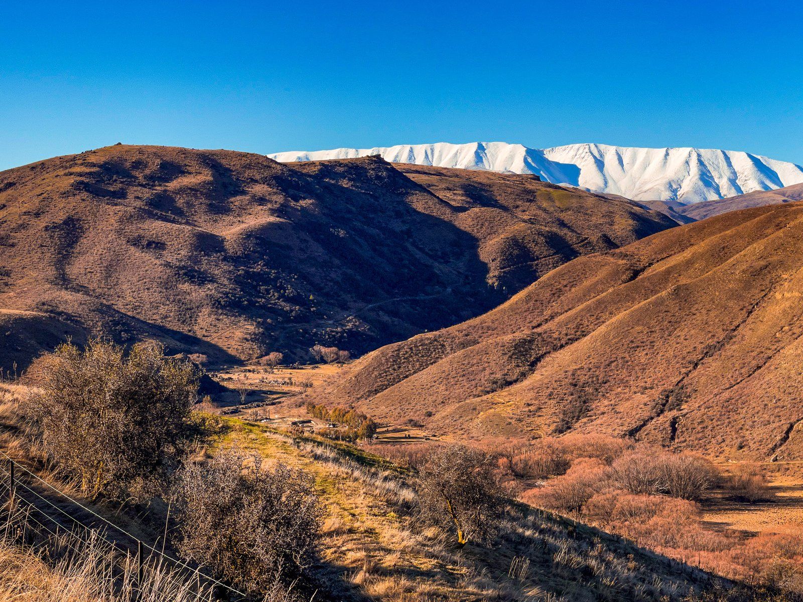
From the viewpoint, it is a steep 100-metre drop down into the Lindis River valley. This sits below McPhies Ridge and is separated from the north end of the Dunstan Mountains by Cluden Creek. Beyond the Ridge, you can just pick out the top of the St Bathans Range. Looking north along the road, the view is into the Lindis Valley, backed by Lindis Peak.
If you have time, you can access Cluden Creek Road towards the bottom of the hill and then various DOC trails for 4WD, mountain biking, horse riding, and hiking.
Nine Mile Reserve and Lindis Pass Hotel
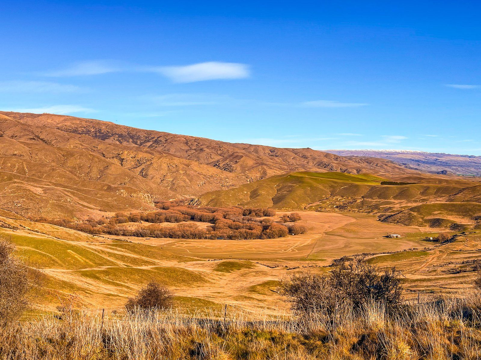
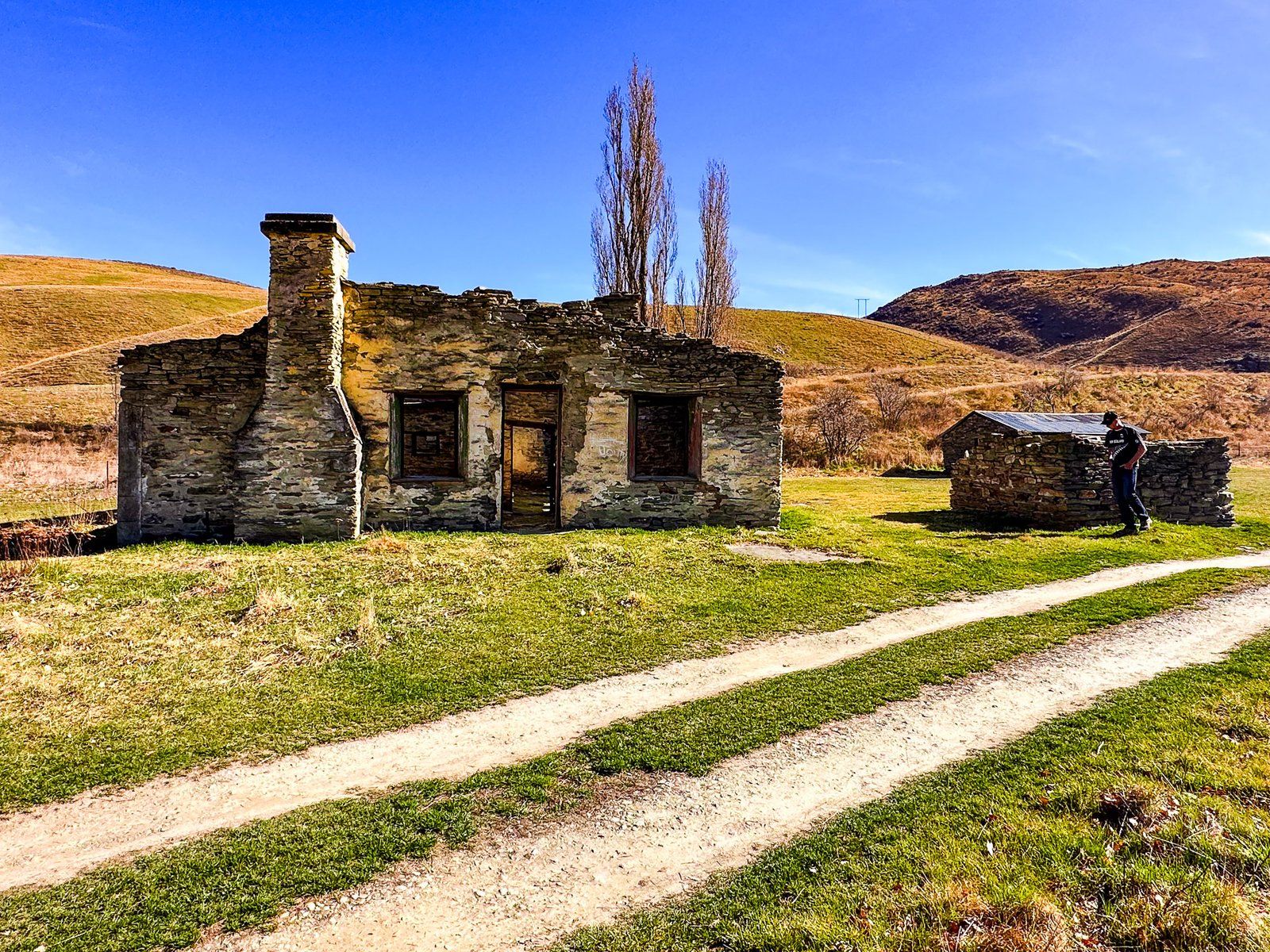
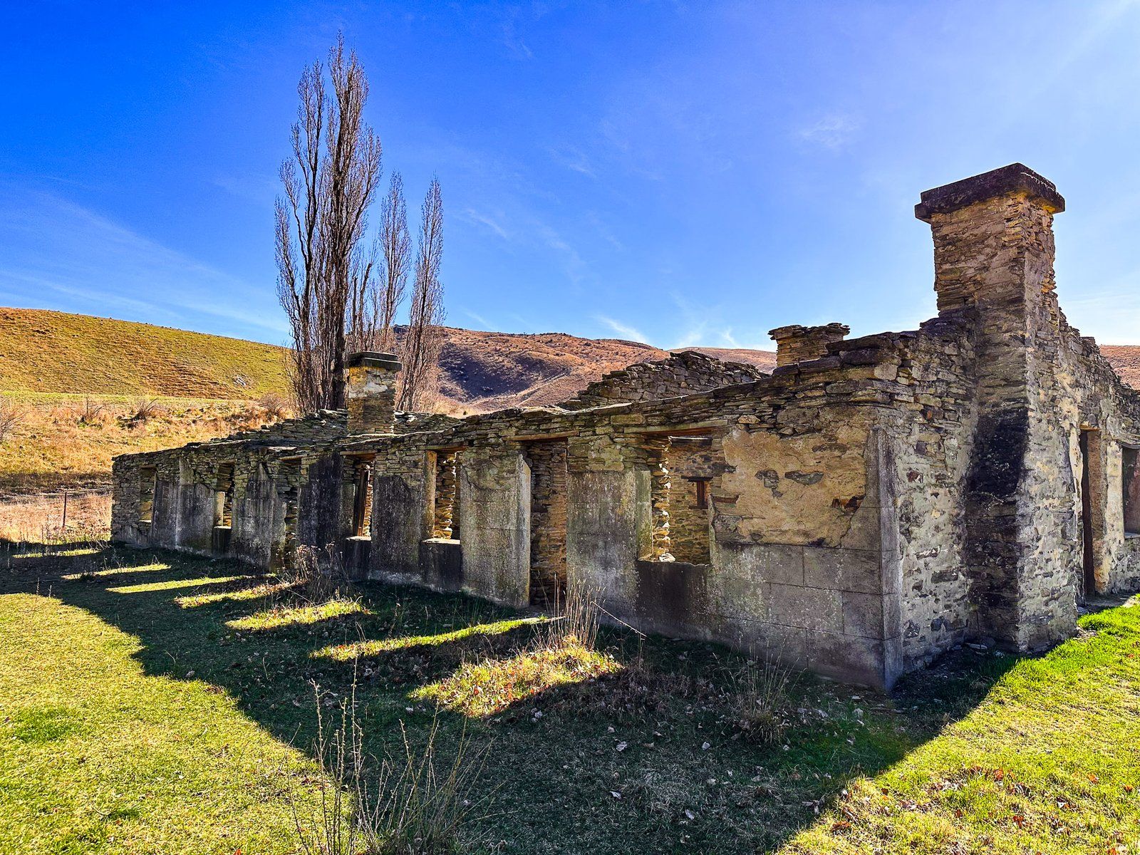
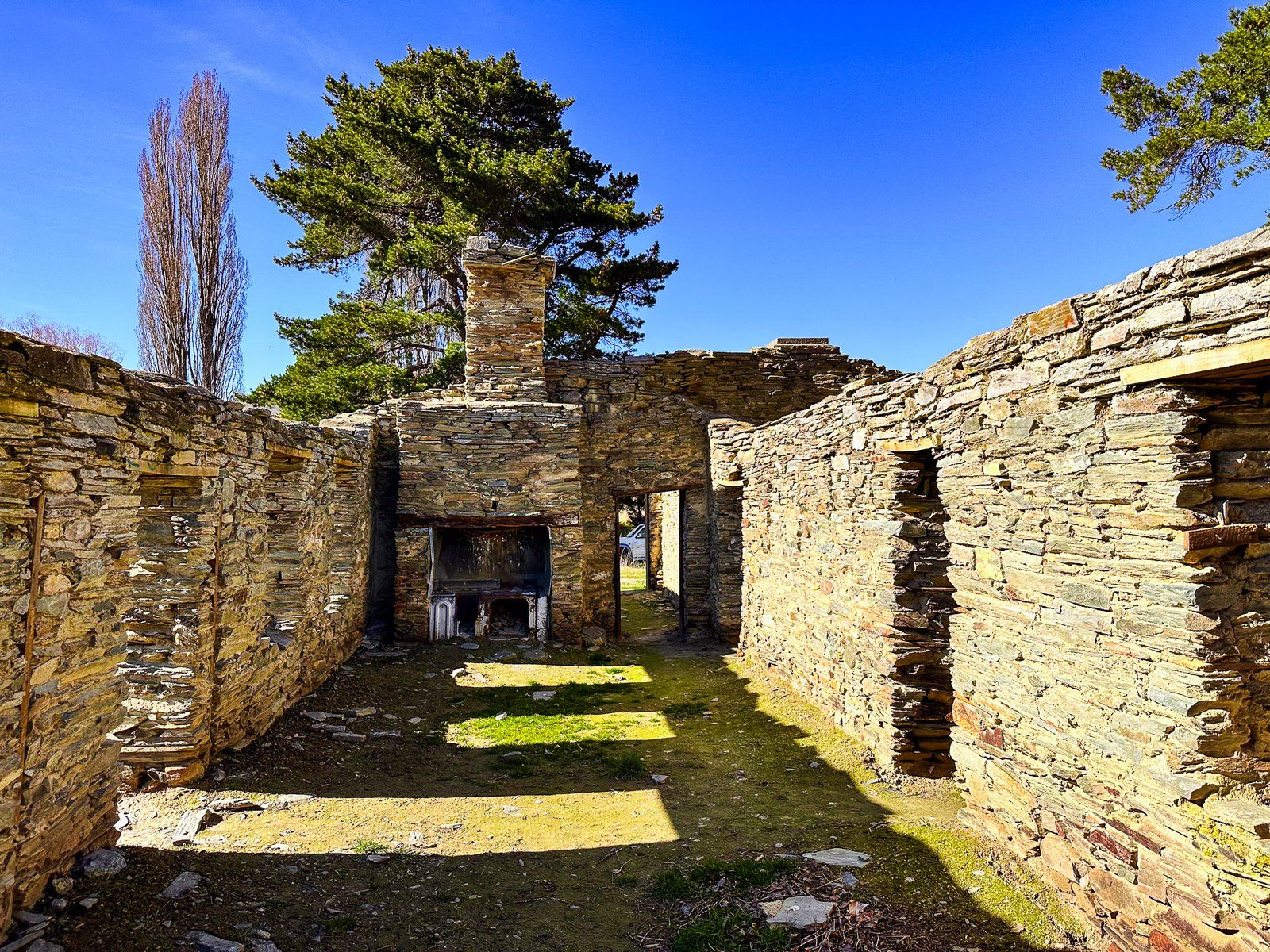
After dropping down from Cluden Hill, State Highway 8 in Otago follows the Lindis Valley for five km. At the valley’s north end, just before it enters a rocky gorge, there is a signposted turnoff onto Old Faithful Road. This takes you to a DOC campsite in Nine Mile Reserve. Here you’ll find the ruins of the historic Lindis Hotel, and the place of the first gold rush in NZ.
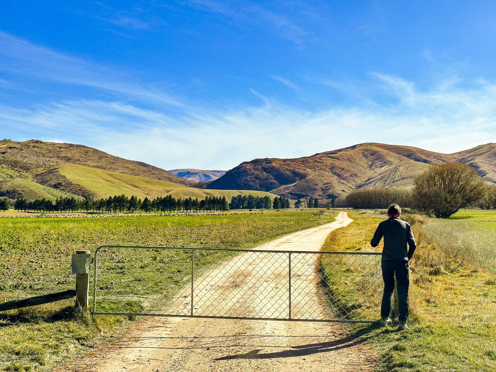
Old Faithful Road was the original road through the valley and gorge. It rises 40 metres above the river, providing a nice view. After four km, it opens into Goodger Flat at the north end and crosses a farm to Nine Mile Reserve. From there, you can also access the river.
It was here that the first gold rush occurred in NZ. John Turnbull Thomson, the first European to explore Lindis Pass, discovered gold in 1857, but no one paid any attention. In April 1861, a road crew member and ex-Californian gold prospector, Samuel McIntyre, found gold nuggets in the river bank. Within a month, 300 prospectors were camping in the area, but it was over almost before it began.
Easier and richer Gabriels Gully near Lawrence was discovered a month later, and early winter weather was intolerable. Chinese miners had a go in the 1890s, and in the 1930s, the government subsidised gold mining during the Great Depression. One miner, Wattie Thompson, did hang on until a flood washed out his claim in the early 1970s!
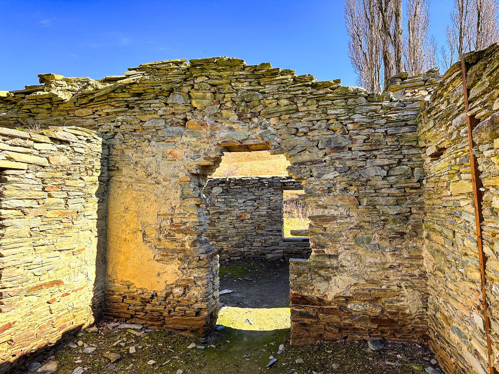
The hotel was more successful. It started as a store in 1861 and, by the 1870s, was an established stopping point on the road. Additions were made, but in the 1930s, the road was rerouted to the other side of the river. Hence, the nearby Faithful Bridge became derelict. The hotel was a private residence until its abandonment in 1951.
You can also access the Lindis Peak Track at the head of Old Faithful Road. Allow up to three hours to climb about 800 metres to fabulous views from the peak at 1226 metres. Mountain biking is also popular on various 4WD tracks around the mountains.
Lindis River
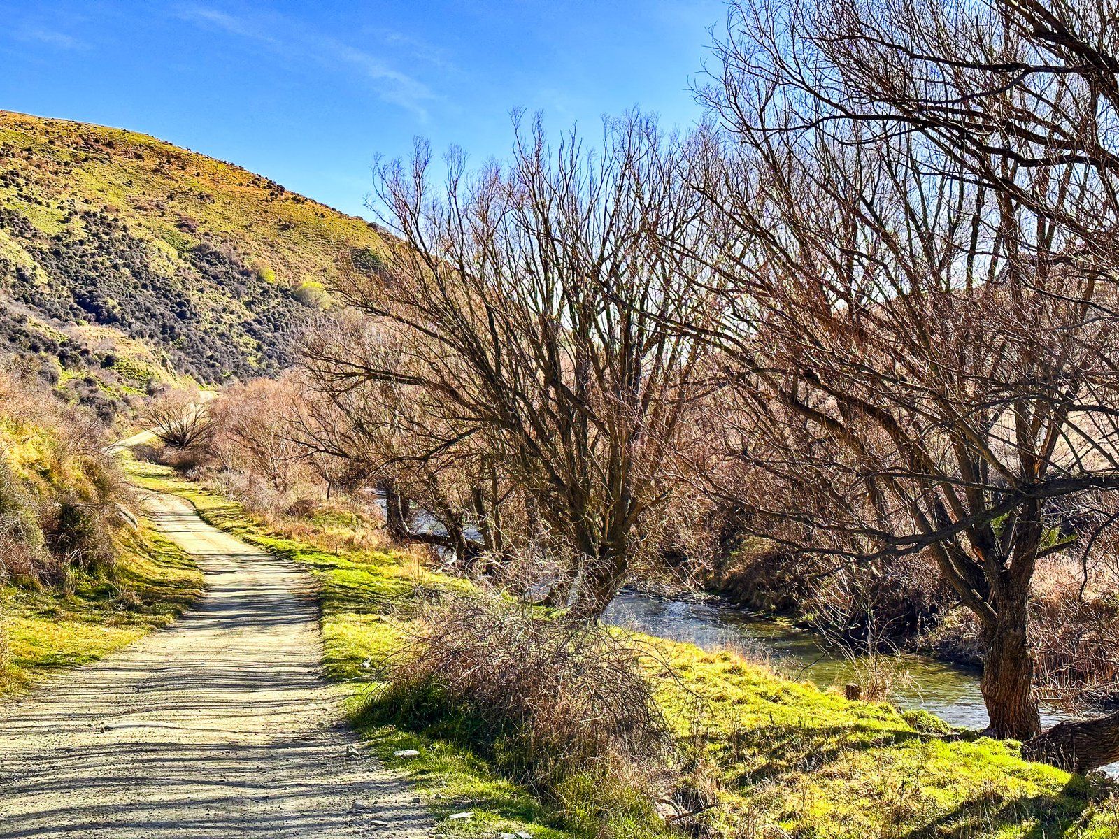
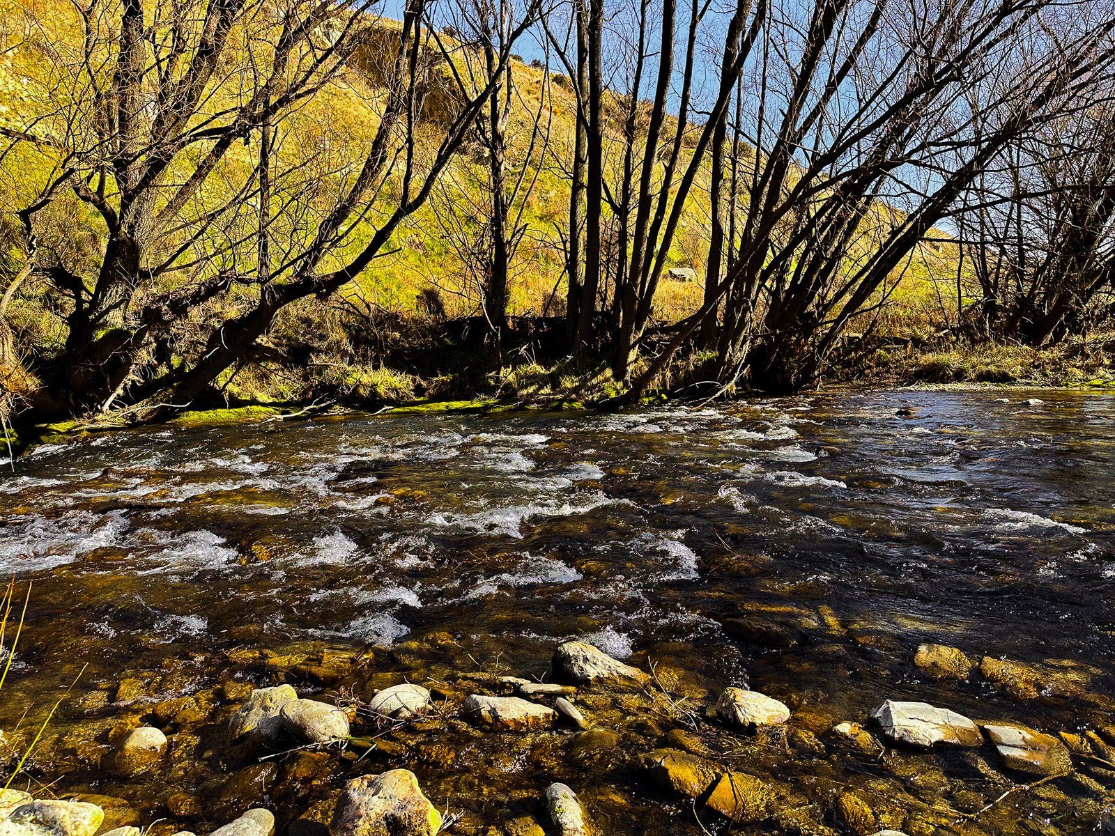
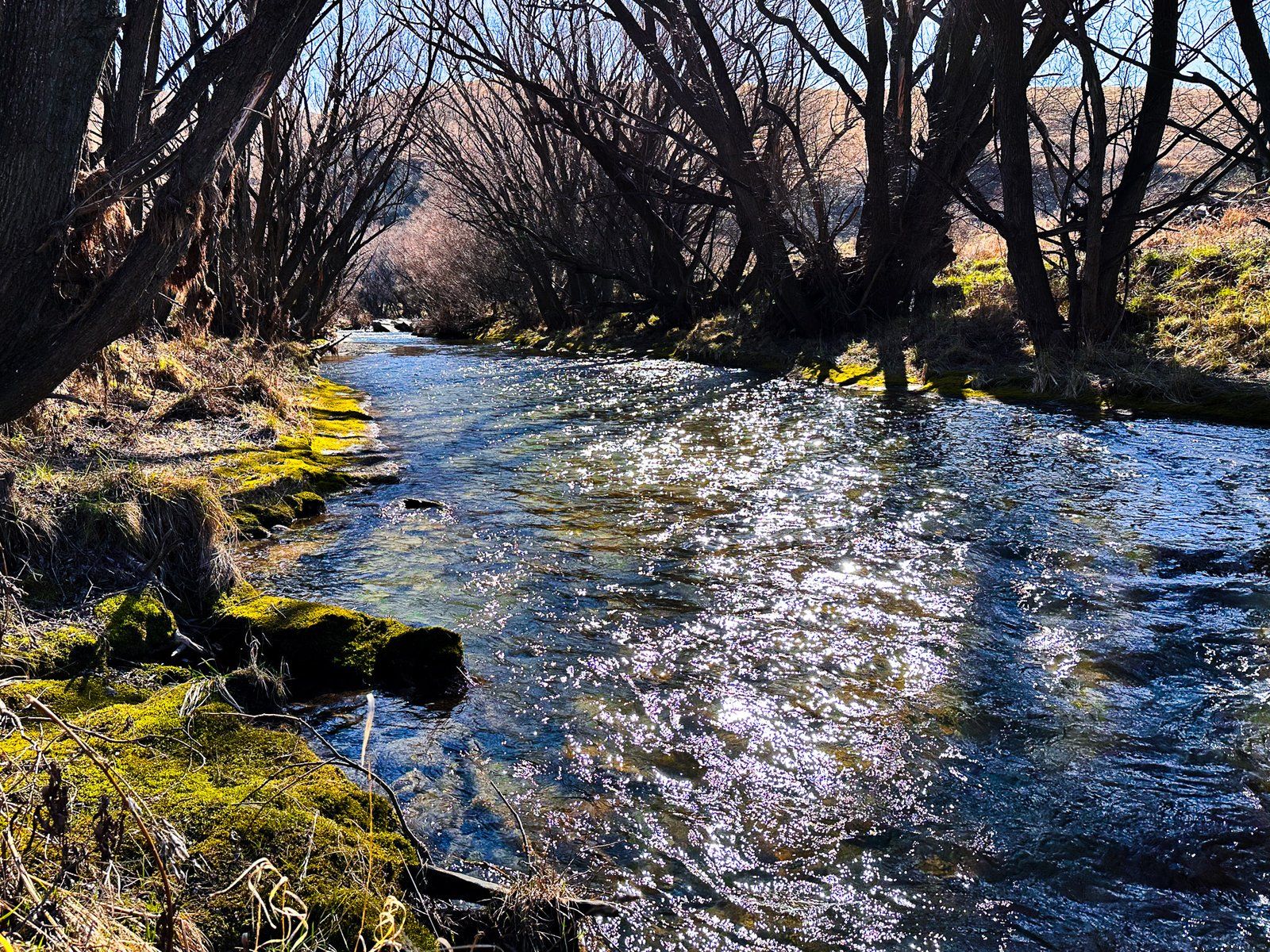
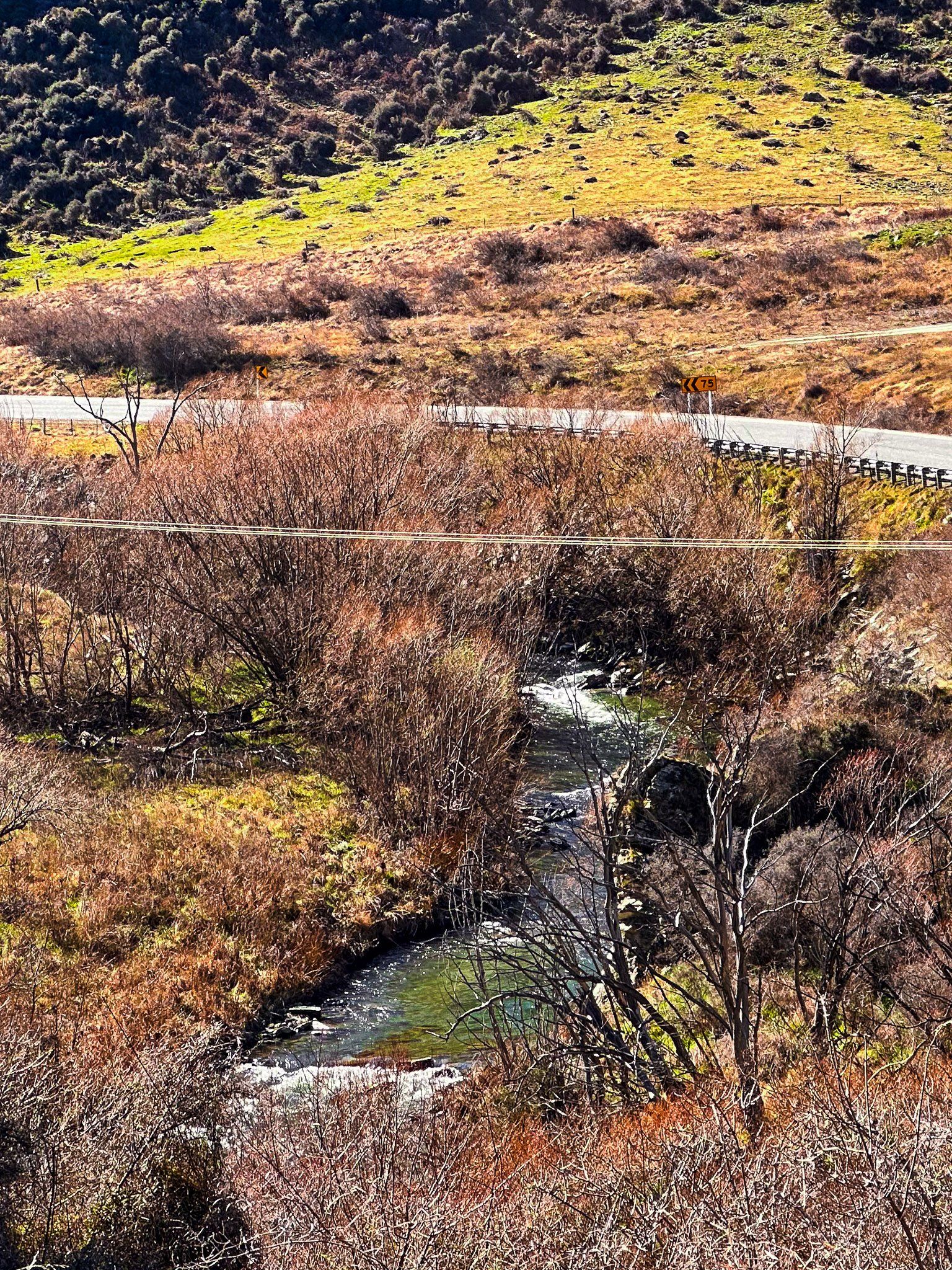
The Lindis River starts in the relatively dry mountains east of the Ahuriri Valley and Lake Hāwea. It has multiple small tributaries and flows south through mostly steep remote terrain to meet State Highway 8 just before it starts the climb up to Lindis Pass. It then roughly follows the highway through canyons and valleys towards Tarras, where it enters the Clutha River.
Māori named the river Omakau, meaning belonging to a wife, husband, or object of affection. The lower part of the river was part of Tahu-a-Arapaoa, the ancient Māori trail that went over Lindis Pass to Lake Hāwea and then to the West Coast.
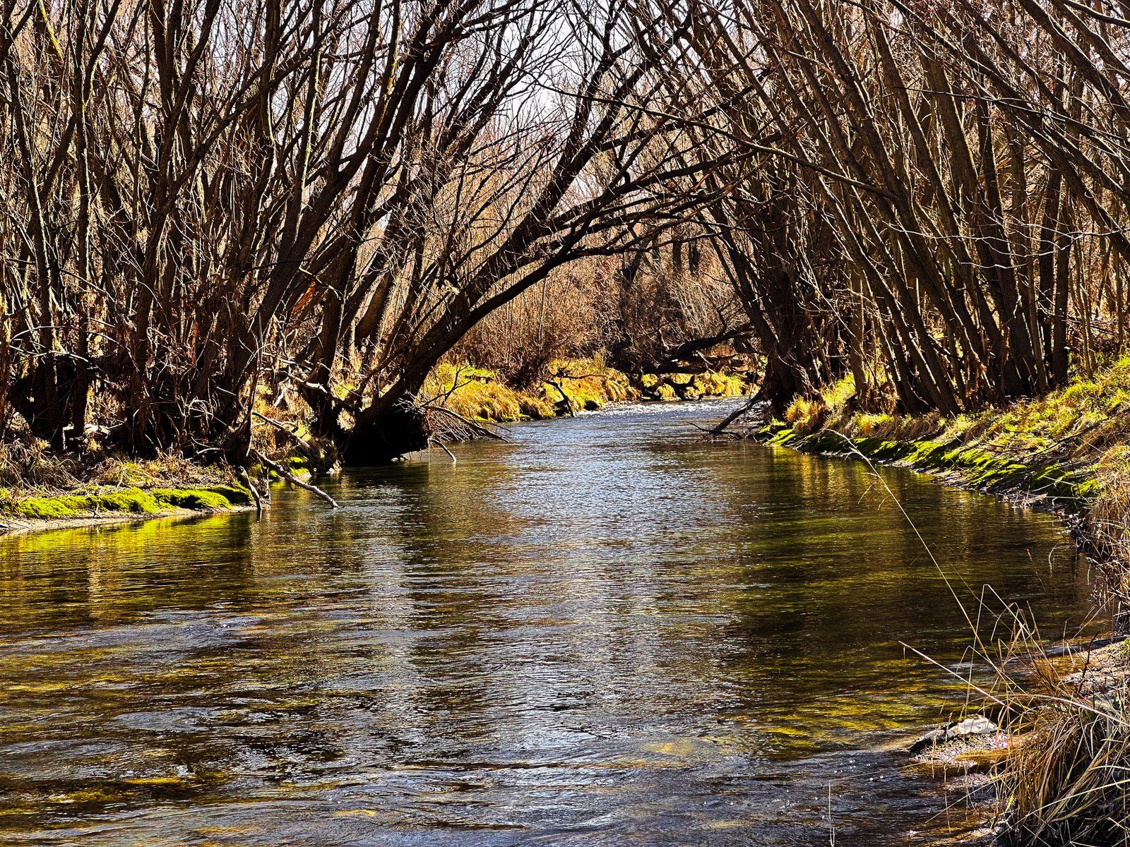
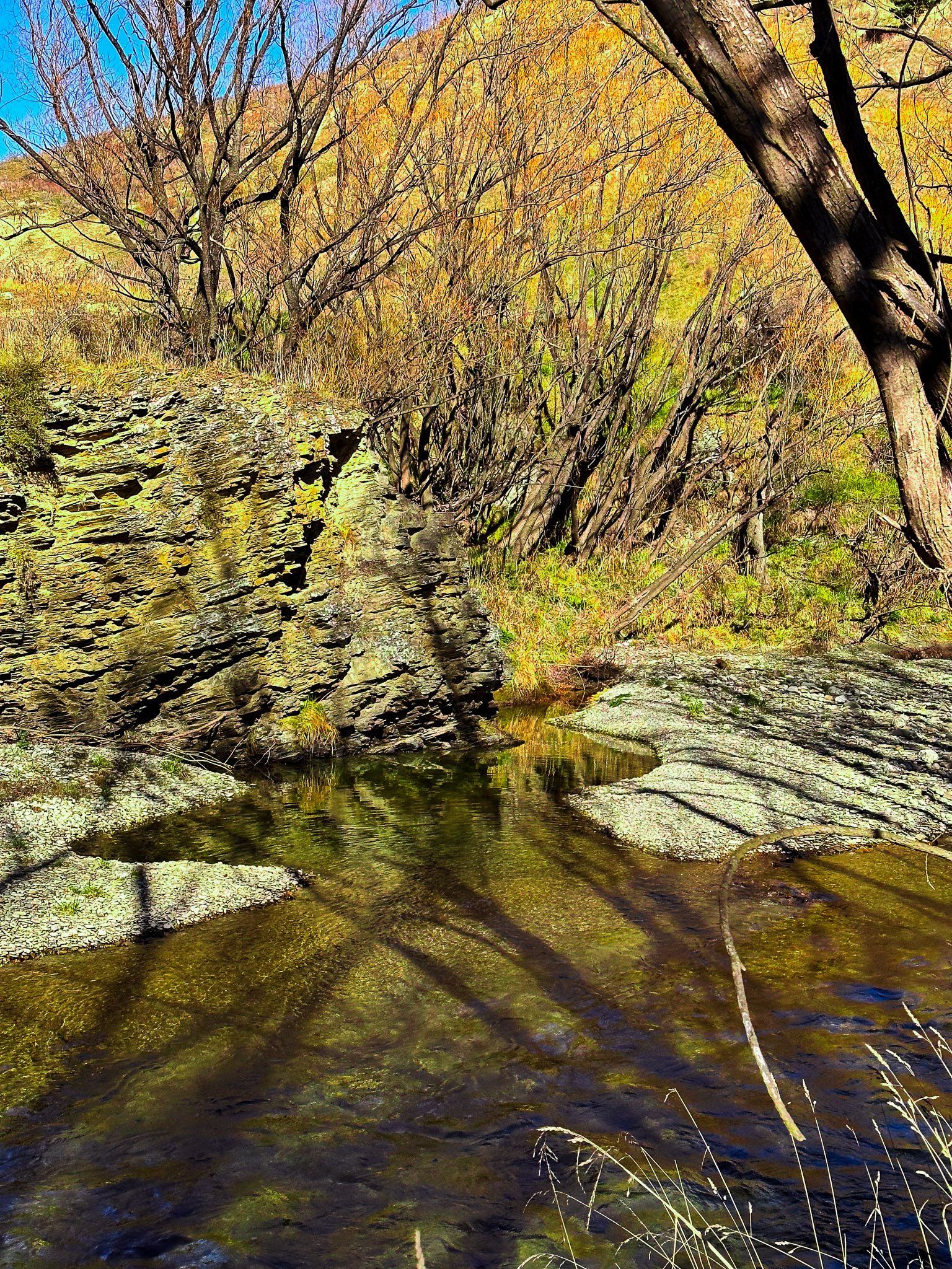
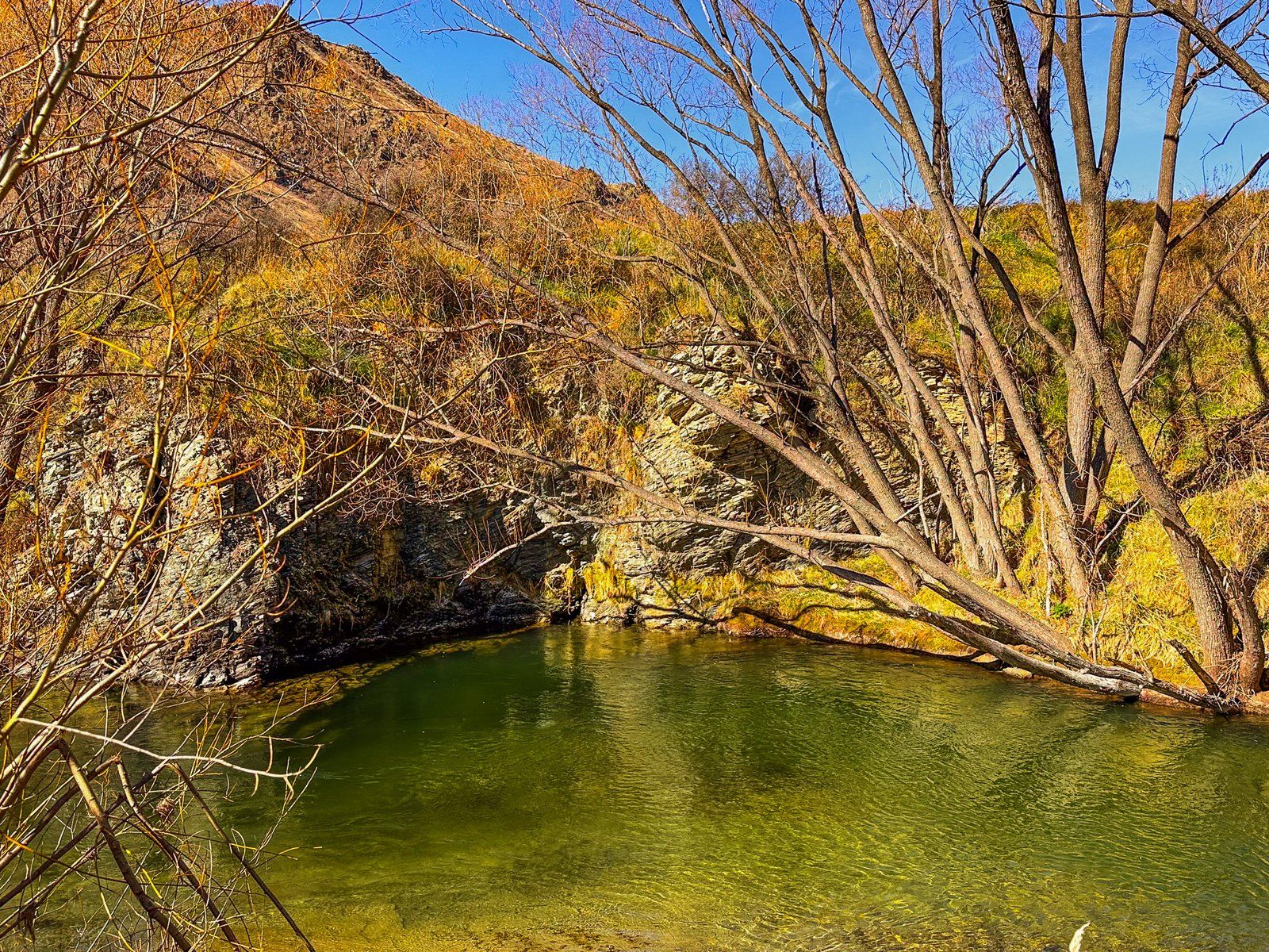
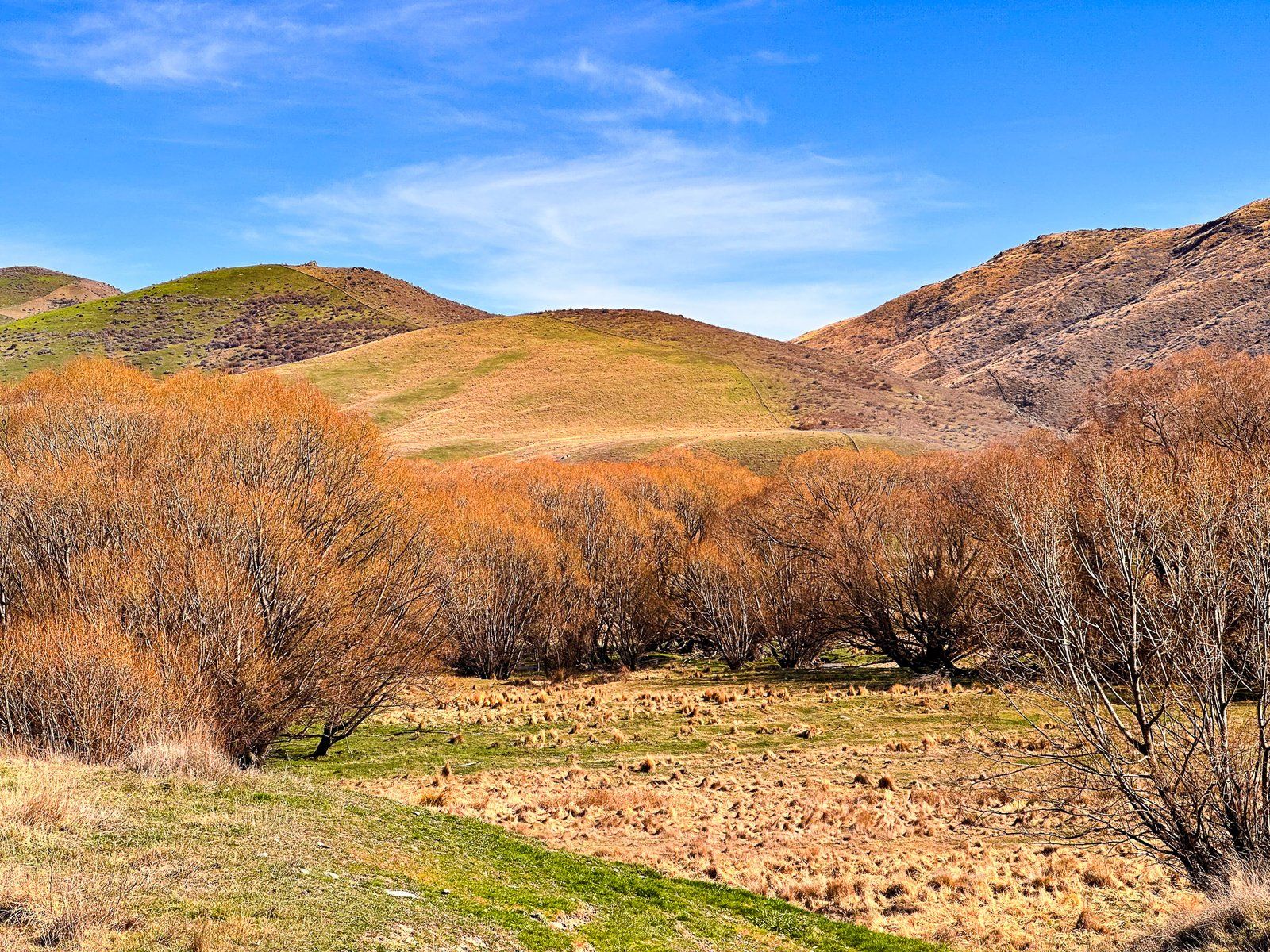
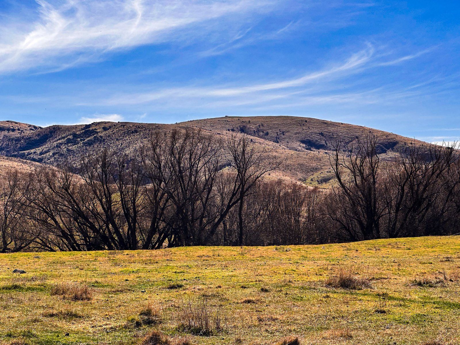
When Europeans arrived, they planted many willow trees along the river. These now dominate the banks and provide colour and shelter in an otherwise dry, tussock-clad, rocky and treeless environment. You can access the river in several places, but the best spots are around the old gold diggings in Goodger Flat. Take Old Faithful Road from State Highway 8 to Nine Mile Reserve. Access to the riverside from the campsite is reasonably obvious. Heading north and just beyond Goodger Flat is a rest area with access to the river. Walk through the trees amongst the gravel diggings and then along the river to find a spot for a picnic.
Goodger Road
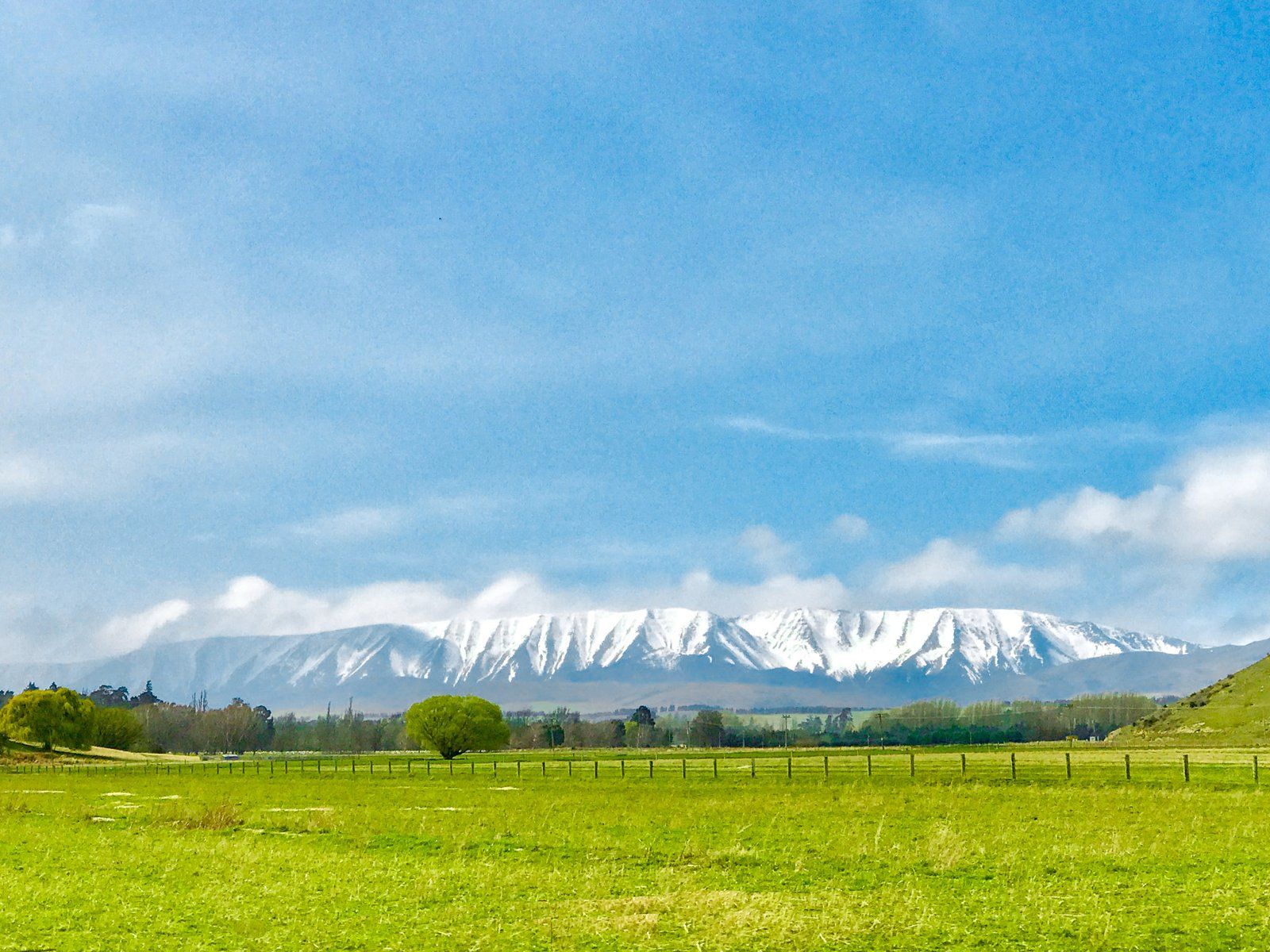
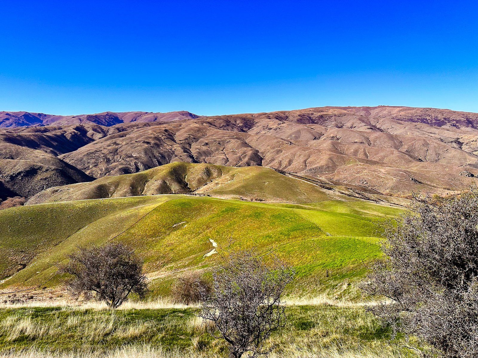
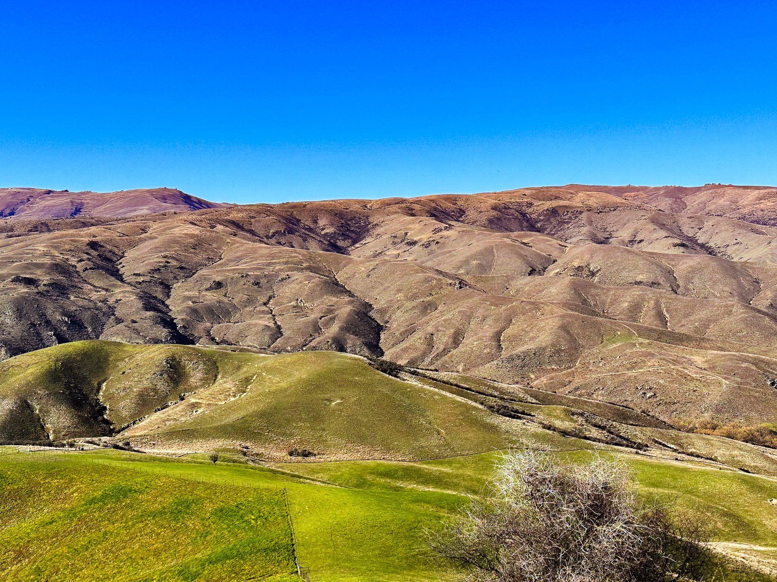
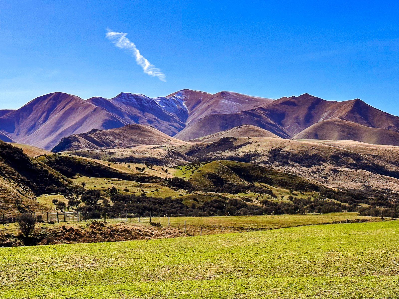
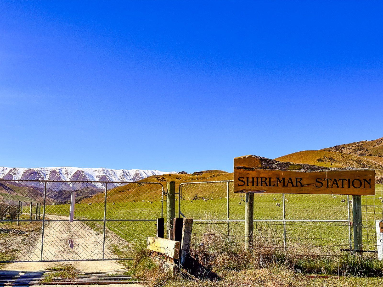
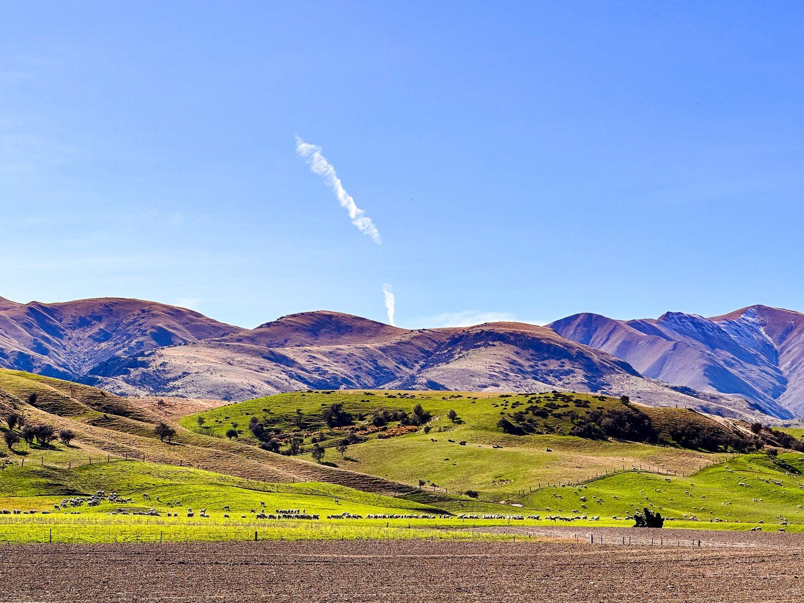
Goodger Road is a side road that goes up Georges Flat from State Highway 8 towards the Chain Hills in Otago. It is quite scenic as it runs through green, flat, irrigated farmland with a background of tussock-clad mountains at 800 to 900 metres high. At the far end of the flats, you will see the St Bathans Range at over 2,000 metres overlooking the 1,000 metre Chain Hills.
Depending on the time of the year and road conditions, you can also access several DOC hiking and mountain biking tracks around the Chain Hills from the road after passing through Shirlmar Station. Check the status of Goodger Road here in advance.
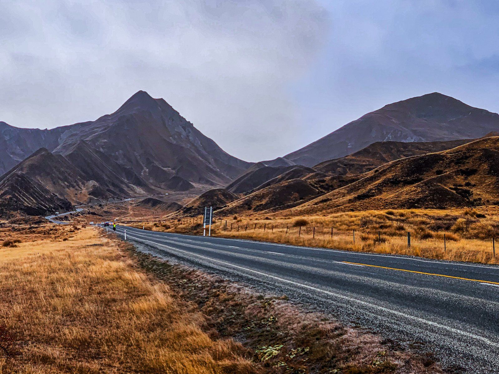
Lindis Pass
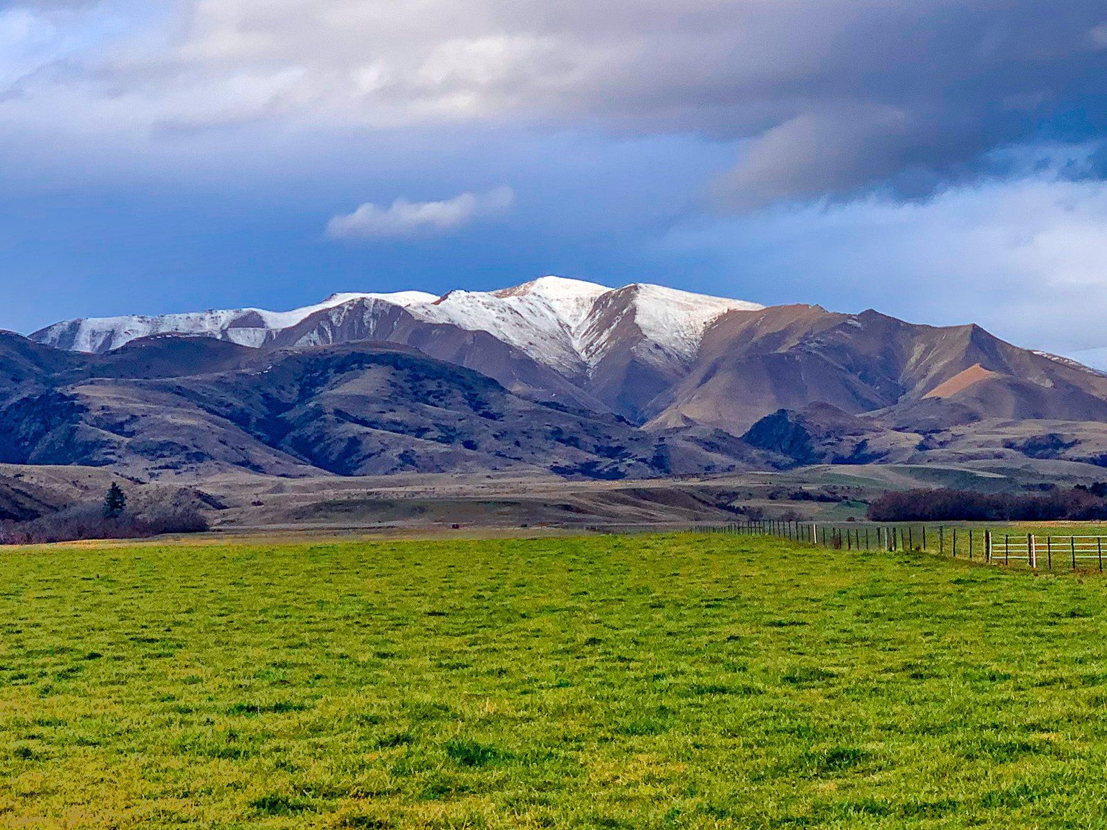
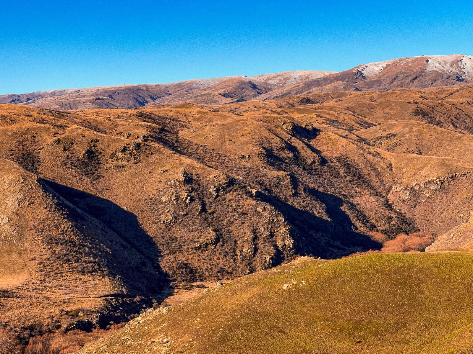
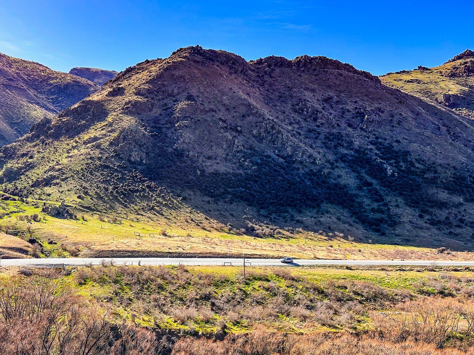
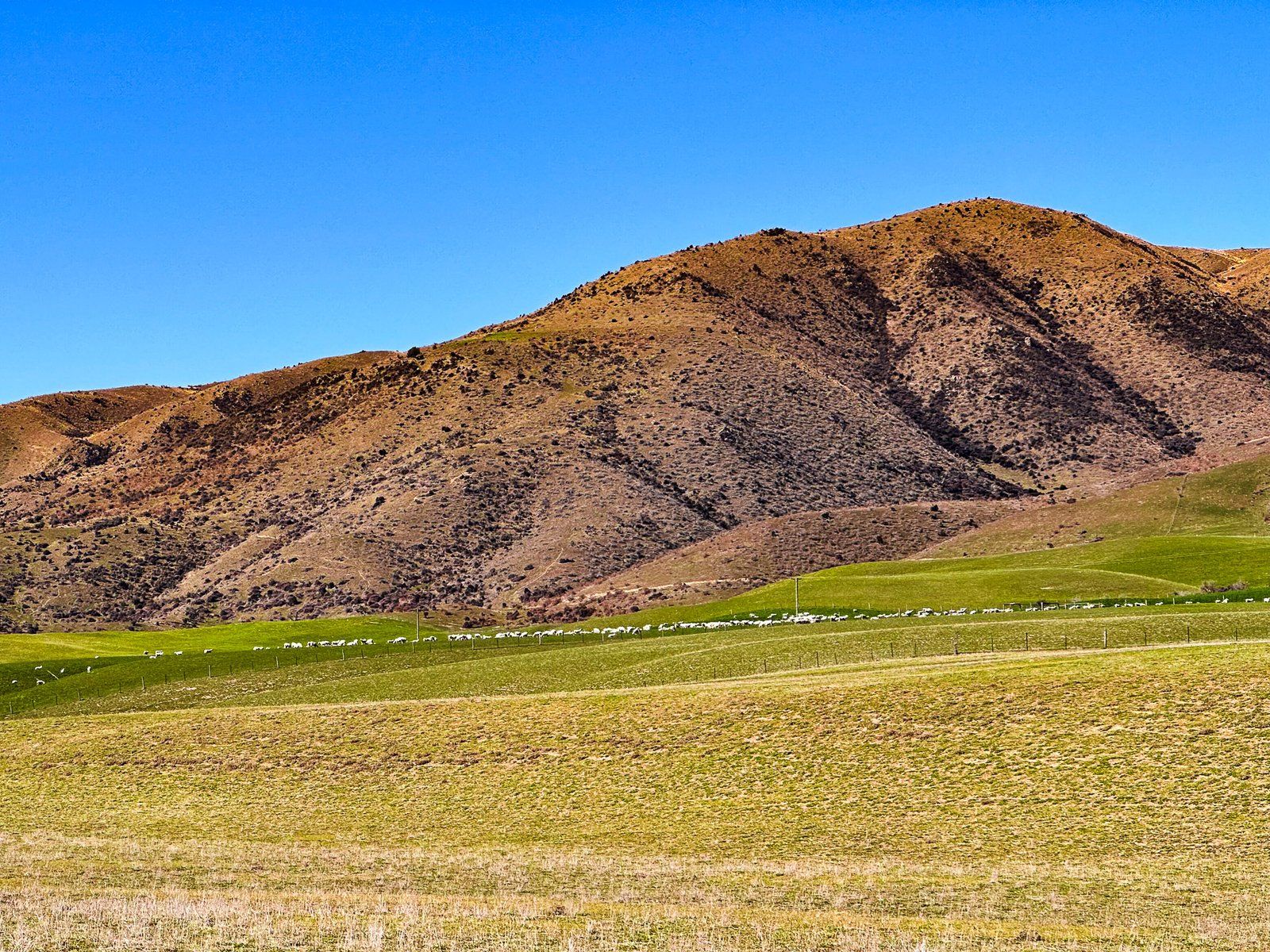
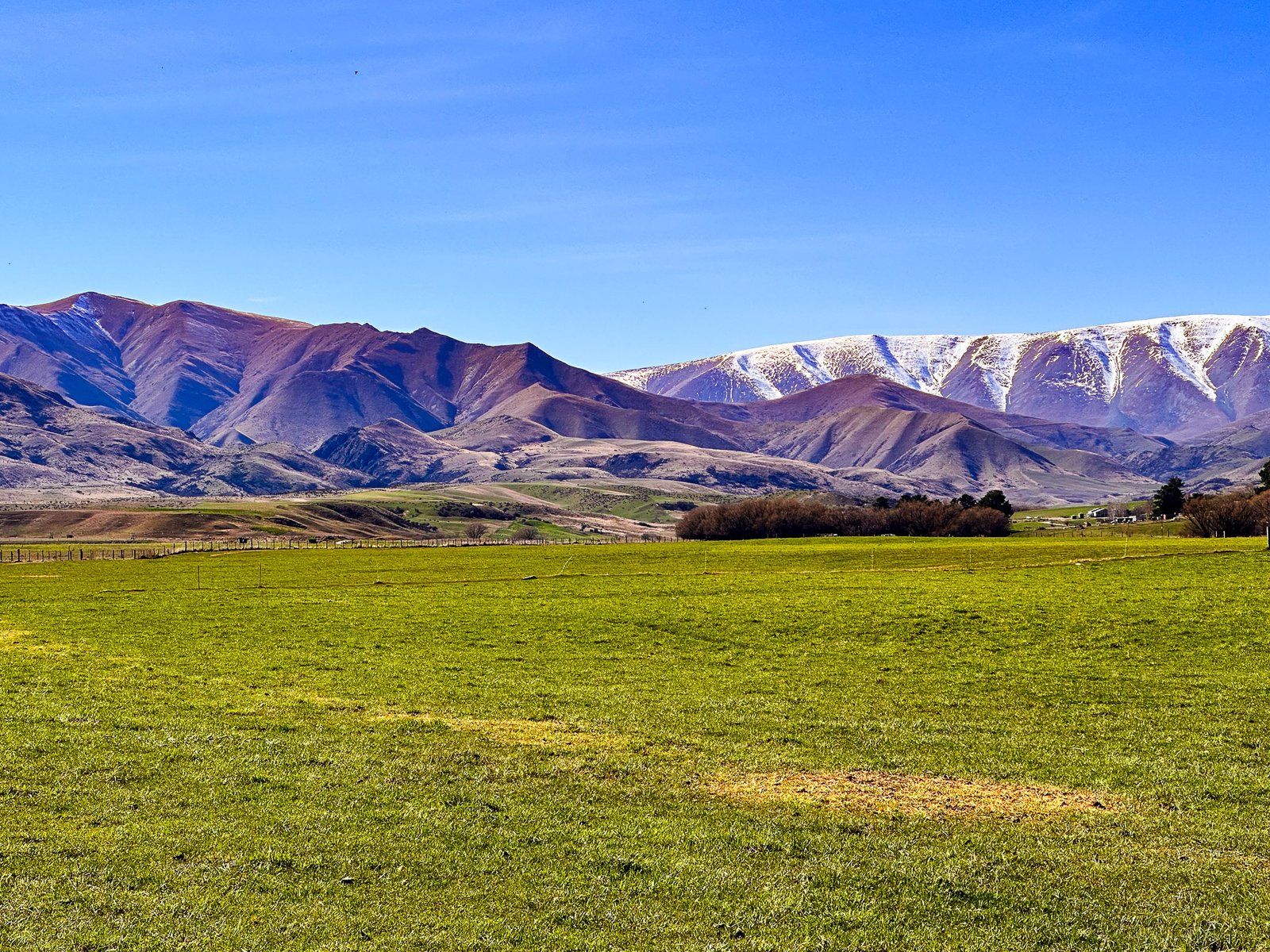
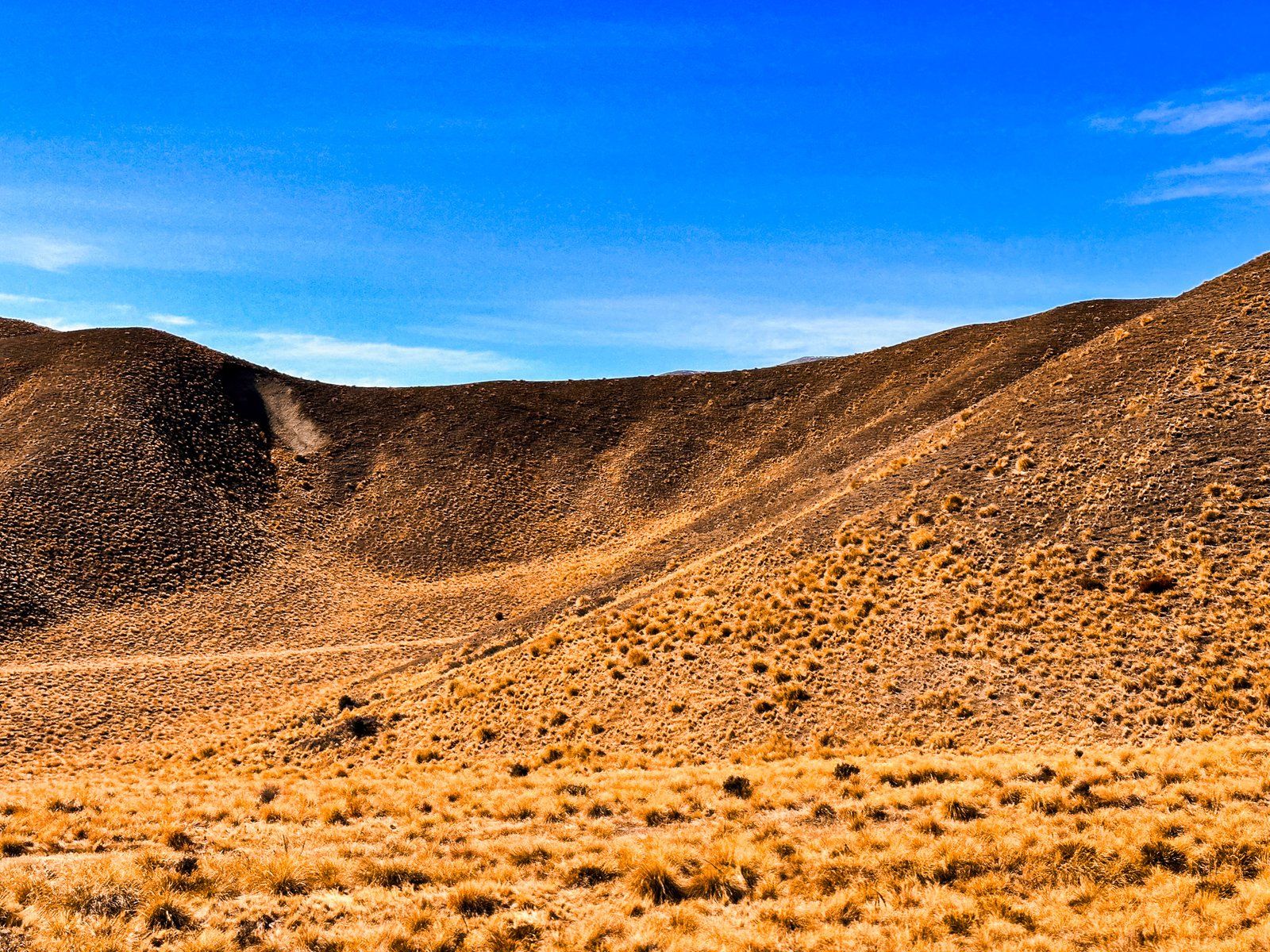
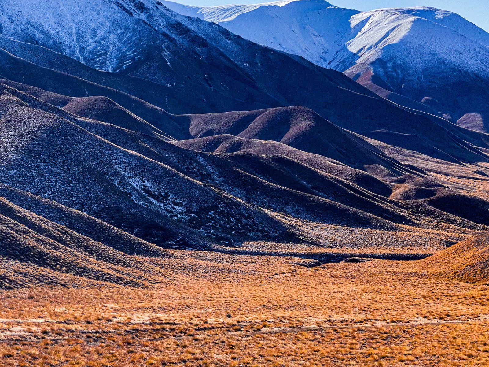
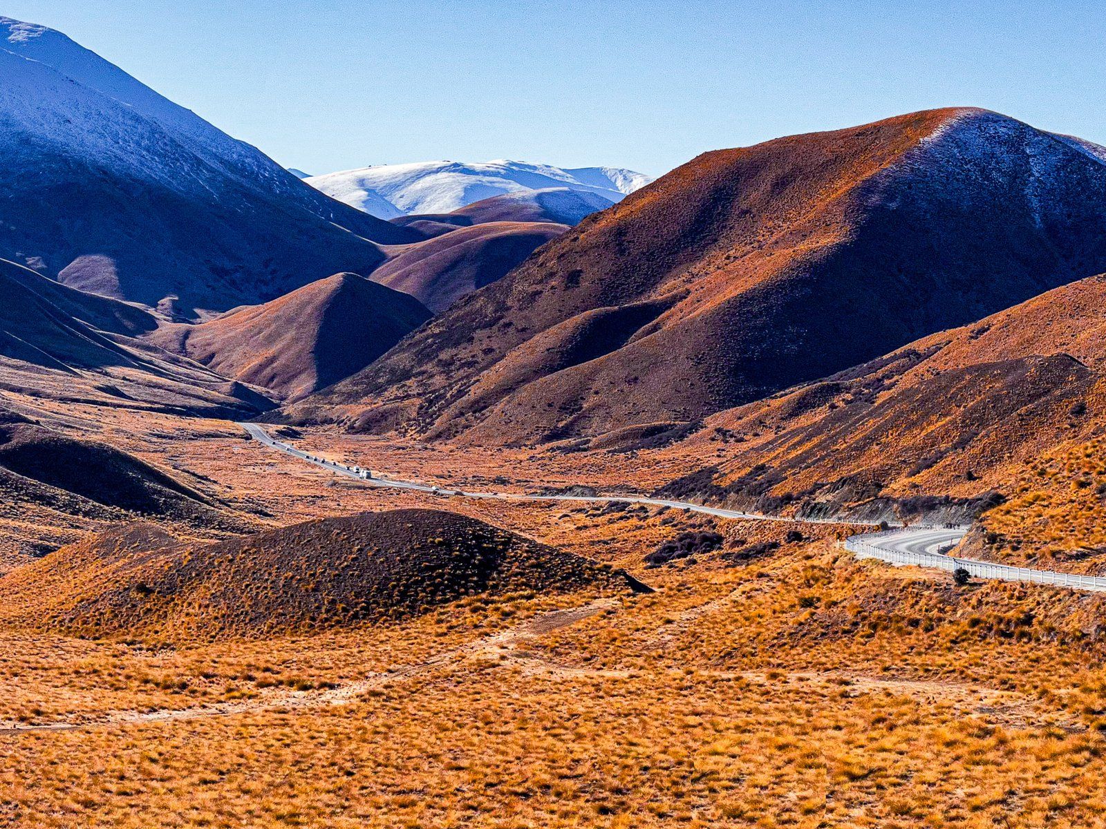
Lindis Pass is a prime example of Otago’s dry tussock highlands, accessible through State Highway 8. It’s the highest highway pass in the South Island, at 971 metres, and lies between the Dunstan Range, 1,800 metres high, to the east and other lower peaks to the west. At the north end of the pass lies the Ahuriri Valley. Although there is a chance of snow from autumn through spring, the road is typically not affected for long periods.
A large car park at the top of the Pass and a walk to a viewpoint amongst the tussocks provides easy access. The drive towards the Pass from either side is visually stunning, with colours ranging from brown to gold to orange/red, depending on the light and time of day. A notable feature is how pristine it looks. It has been a protected reserve since 1975 and an ongoing effort by the Lindis Conservation Group to eliminate various exotic weeds that affect other highland parts of Otago and Canterbury, such as rosehip, broom, lupins, and thistles, contribute to its pristine appearance.
Māori knew the Lindis Pass as Okahu when Europeans arrived. There was a well-established trail called Tahu-a-Arapaoa that connected the East Coast via the Waitaki Valley, Lindis Pass and Lake Hāwea to the West Coast. Māori would walk the trail to collect pounamu/greenstone and transport it back to the East Coast.
John Turnbull Thomson, the chief surveyor for Otago, was the first European to cross the Pass in 1857. He named it Lindis Pass after a rocky outcrop that reminded him of Lindisfarne Island in northeast England. Before he got to Tarras, where the Lindis River enters the Clutha River, he added Lindis River, Lindis Valley, and Lindis Peak. A little later, the Pass became a route to NZ’s first (short-lived) gold rush on the Lindis River at Goodger Flat, now within Nine Mile Reserve.
Want more Central Otago Trip Ideas?
Check out our blog series on Remote Drives in Beautiful Central Otago: Old Dunstan Road, Lake Onslow, The Nevis, and Pigroot to Macraes.