Discovering Surat Bay's Natural Beauty
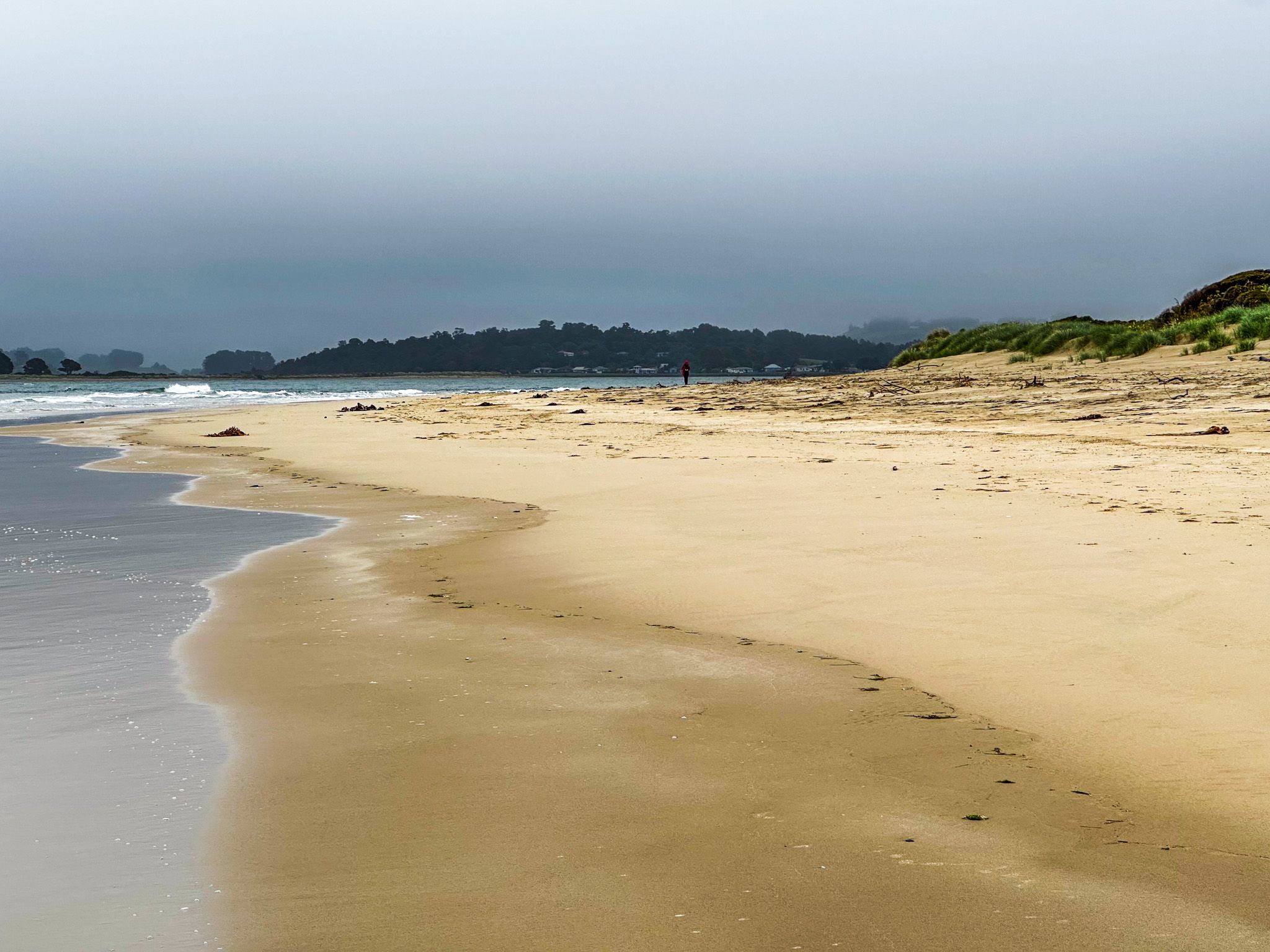
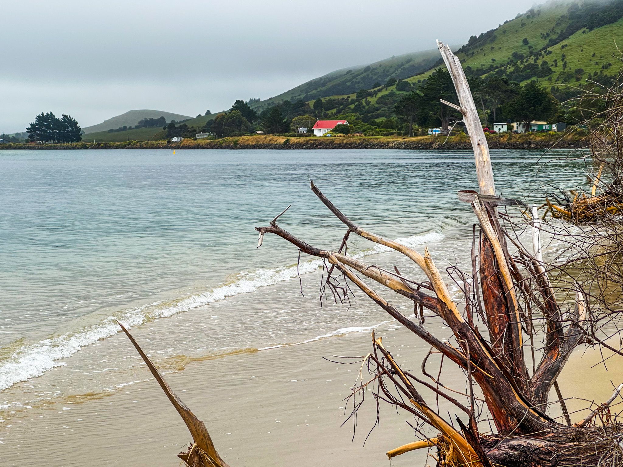
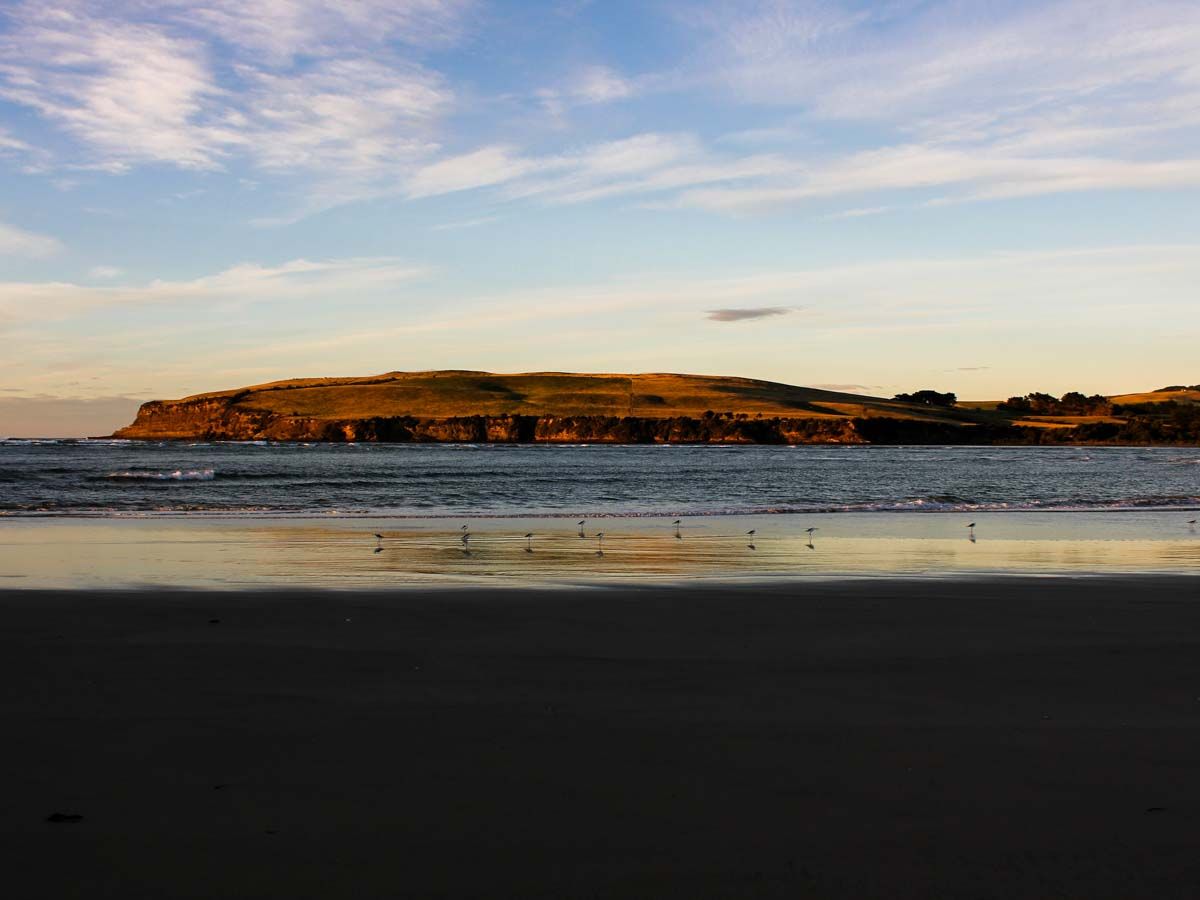
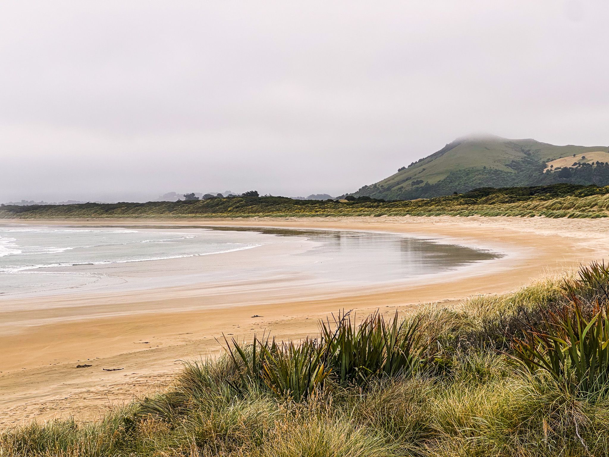
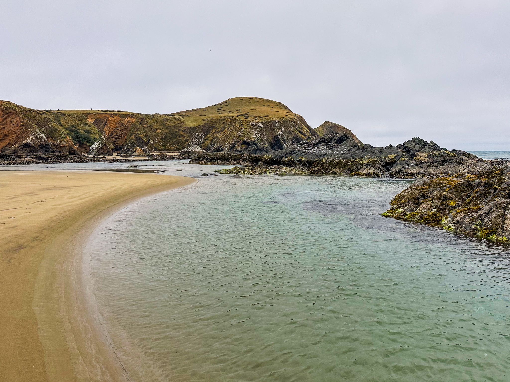
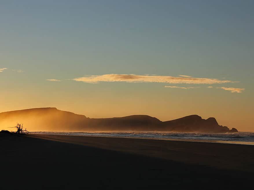
Surat Bay, located on the Pacific Ocean in the Catlins, is a remote beach known for its stunning sunsets. Facing south, it offers a unique view as the sun dips below the horizon. Accessing this secluded spot requires some effort, as you can either walk 1.5 km over the dunes from Cannibal Bay to the east end or take a 600-metre walk from the small holiday hamlet of Newhaven, on the Catlins River mouth, to the west end. The latter route involves a short walk through scrub, followed by a walk along the edge of the river mouth once the tide has started to recede.
Exploring the Beach and Wildlife
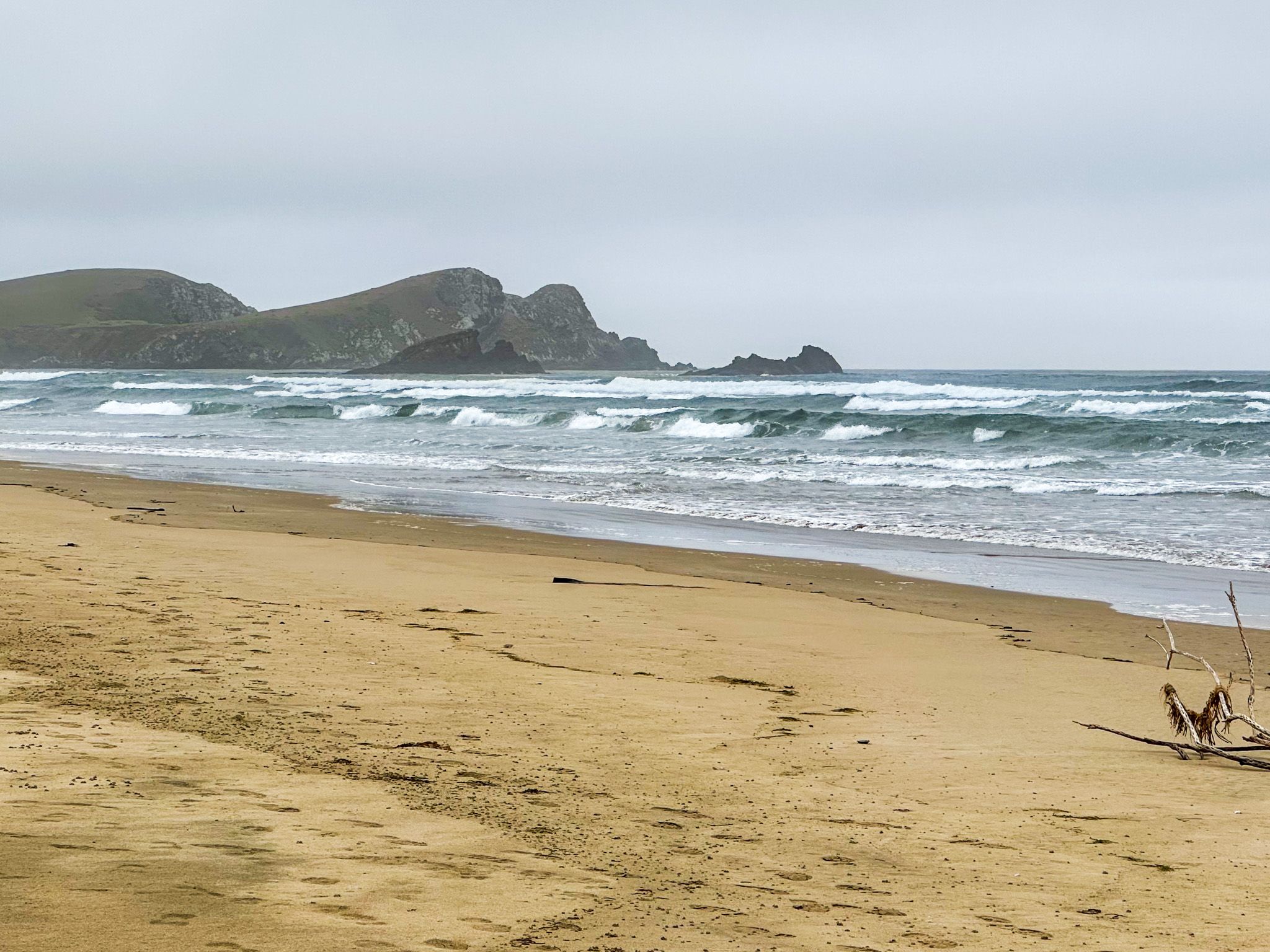
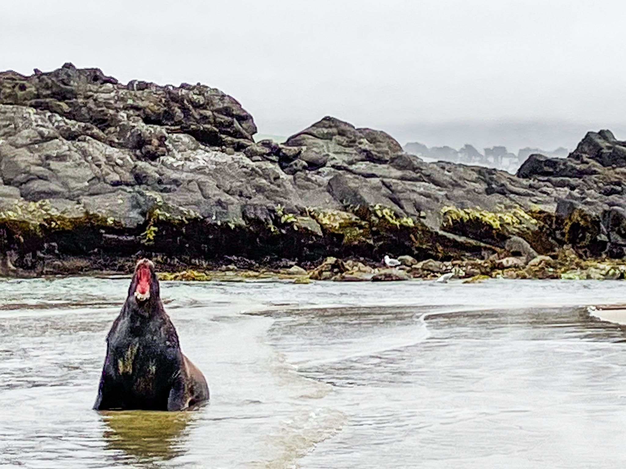
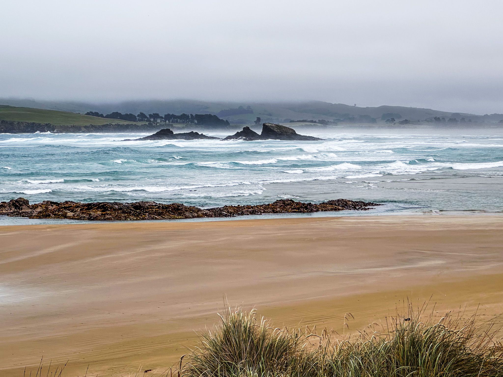
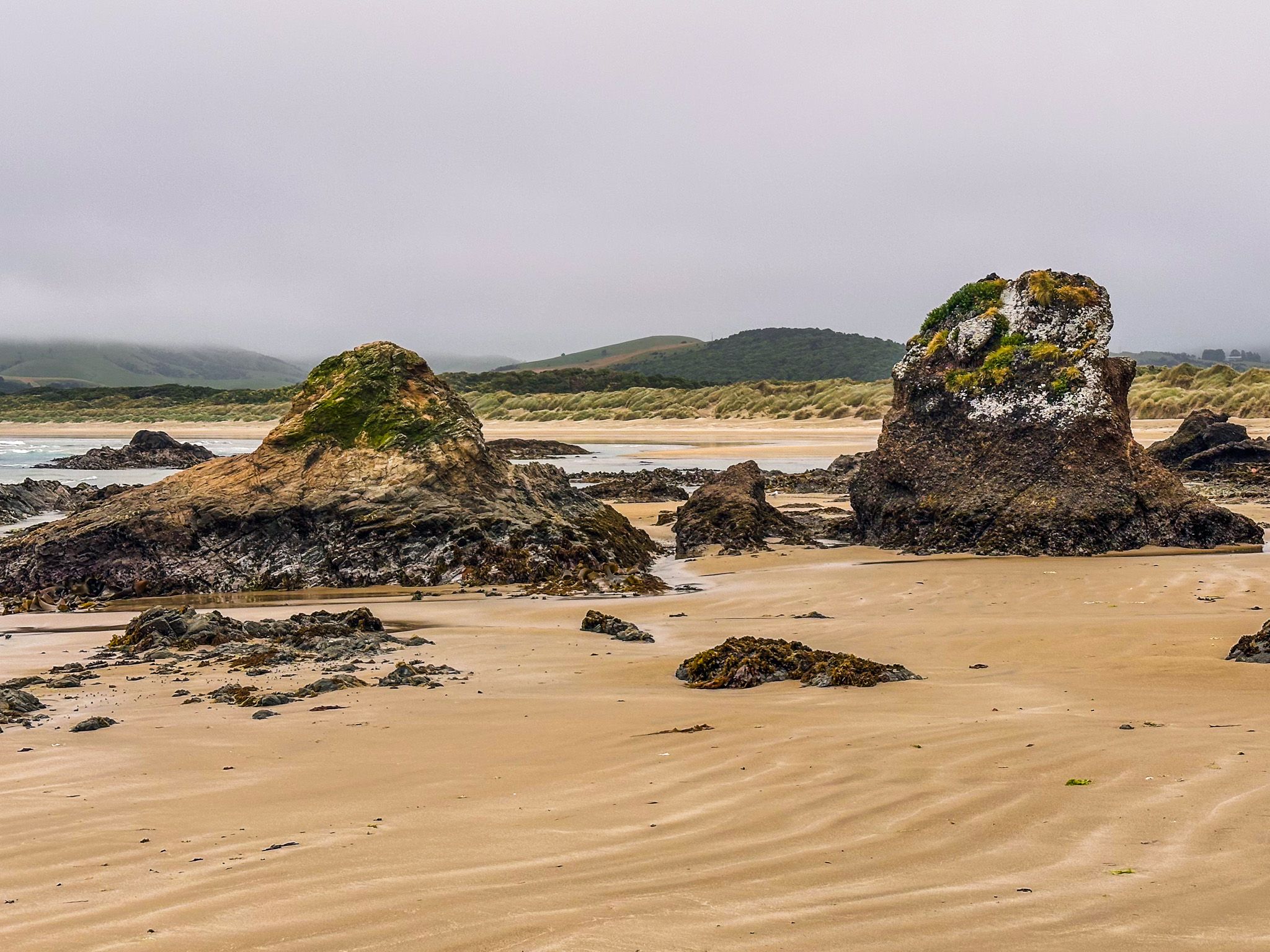
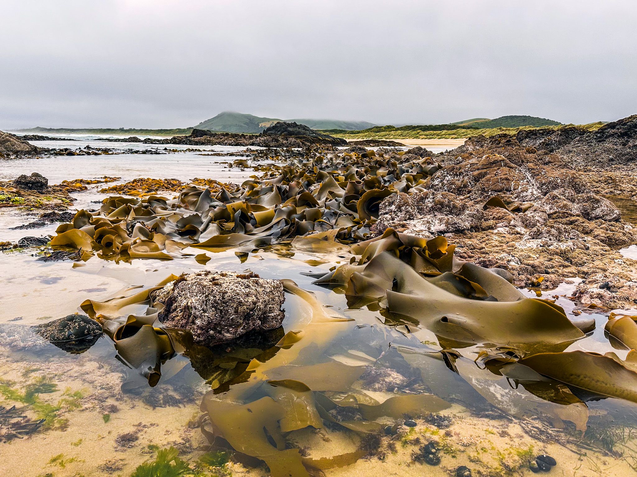
Rocky cliffs and tidal pools mark the east end of Surat Bay, while the river mouth borders the west end. In the centre, you'll find a distinctive group of rocks known as the Triplets. Once on the beach, you have the opportunity to see pakake, sea lions, which are a highlight of the Catlins. However, spotting them may require a 3 km walk from one end of the beach to the other.
Historical Significance of Surat Bay
Originally named Forsyth's Bay by Europeans, the bay was renamed Surat Bay after the sailing ship Surat was wrecked there on New Year’s Day in 1874. The ship, carrying migrants and cargo from England to Dunedin, was deliberately beached to avoid sinking after being blown into the river mouth. Remarkably, all passengers survived, despite the ship's captain being incompetent and possibly intoxicated. A sign at the start of the track in Newhaven indicates where the shipwreck once lay, although it has long since disappeared.
How to Get to Surat Bay
Newhaven is a short drive from Owaka, along Pounawea Road to the bridge over the Catlins River, which takes you onto Newhaven Road. Follow Newhaven Road to the end. There is a campground in Newhaven next to the track to Surat Bay. Cannibal Bay is about twice the distance and includes a section of narrow gravel road.
You can combine your visit with a side trip to the Pounawea Nature Walk, located on the estuary between the Catlins River and Owaka River. A bit further afield, you can discover Kaka Point, Nugget Point, Pūrākaunui Bay and Pūrākaunui Falls.