A Forest Walk with a Moonshine Backstory
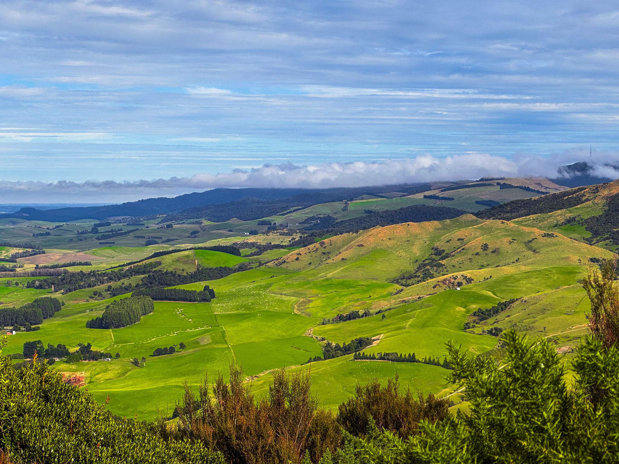
Whiskey Creek Track is one of the best-known walks near Gore, running through a beautiful area of native forest in Croydon Bush Scenic Reserve on the southern Hokonui Hills. The track climbs through forest to a ridge about 200 metres above Dolamore Park, then continues to a lovely waterfall, and ends with a walk through more open terrain to the south end of Dolamore Park.
The Moonshine Connection
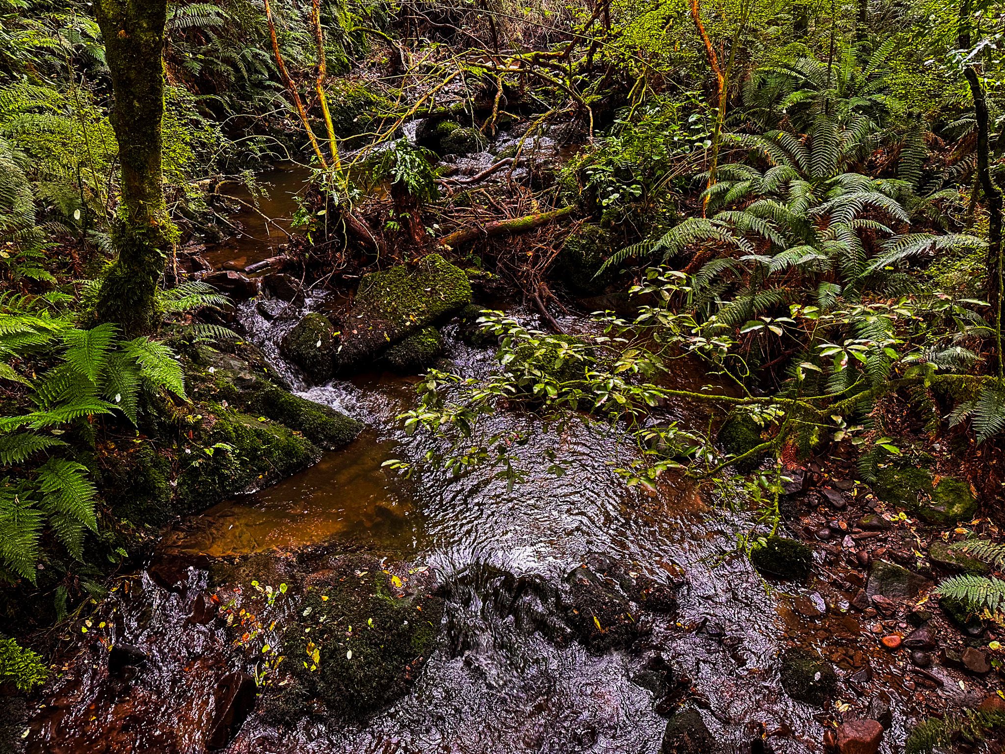
The track’s history goes back to forestry and the development of a water race in the 1880s. However, its name aligns with the district’s folklore, with Hokonui and a whiskey creek entirely on-brand with Southland’s most famous bootlegging story. After local prohibition was voted in in the early 1900s, enterprising locals turned to illegal whiskey distilling. The creek along this track provided adequate water quality and was hidden from immediate view, providing escape options.
Walking the Track
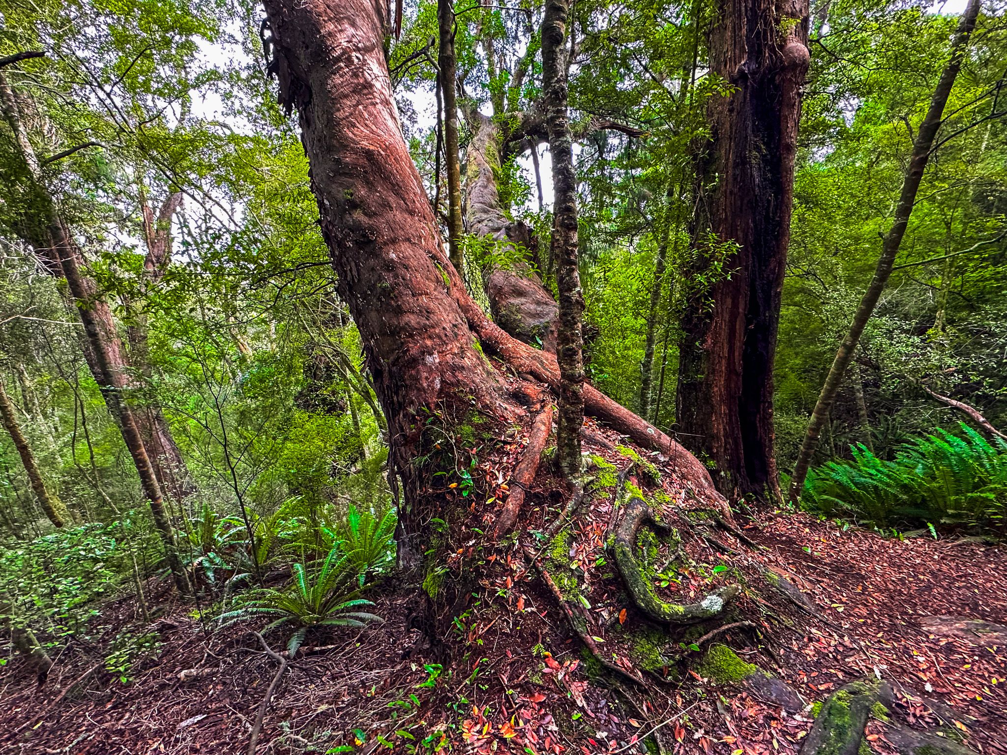
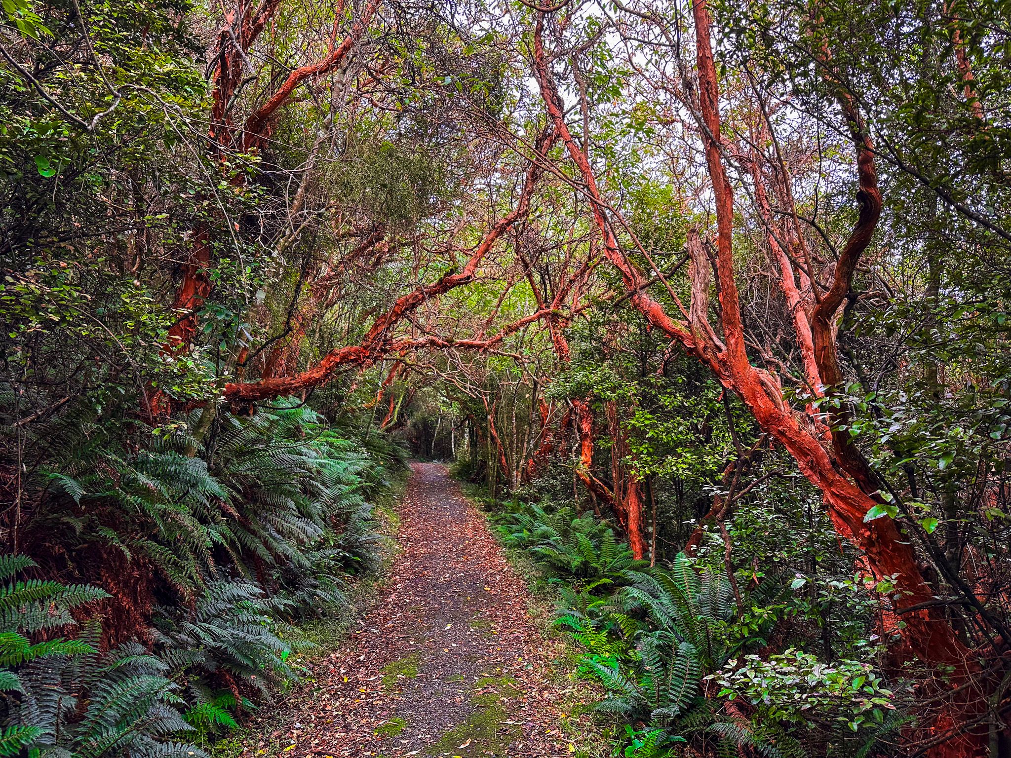
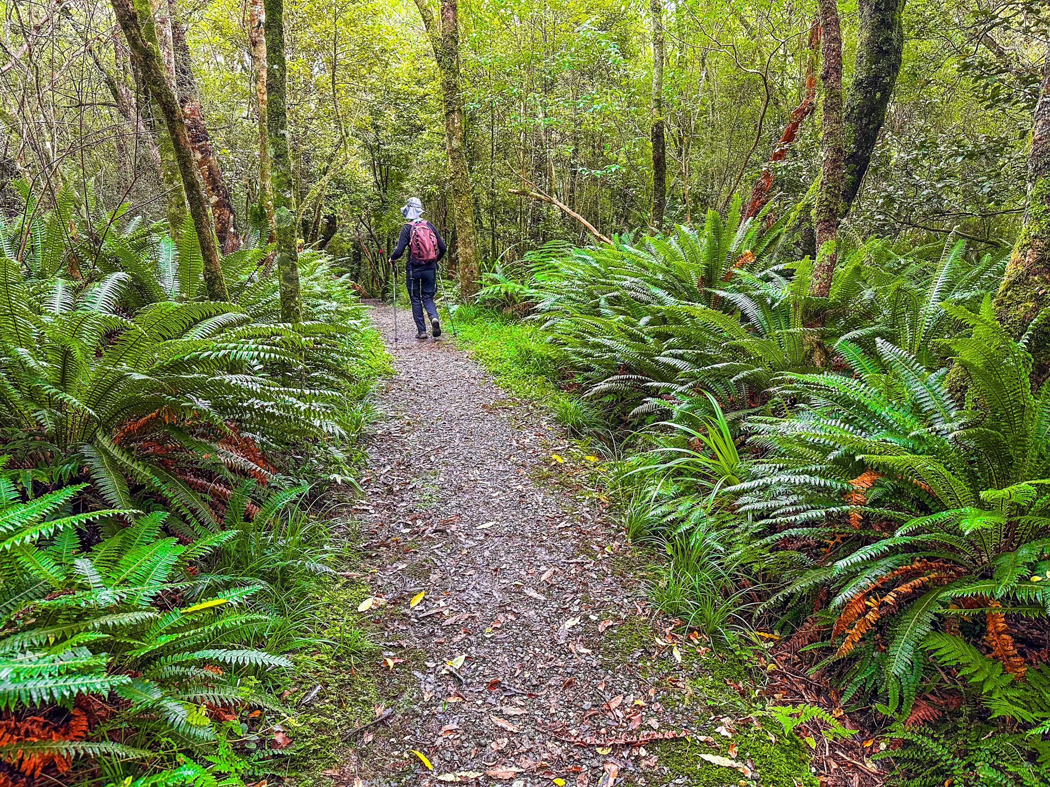
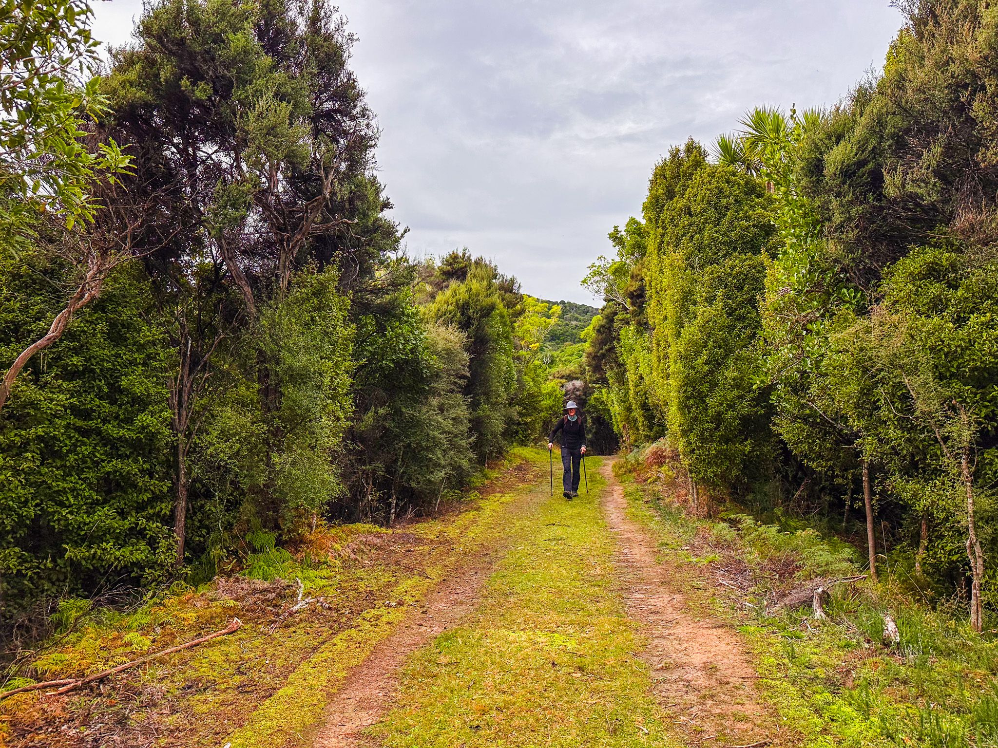
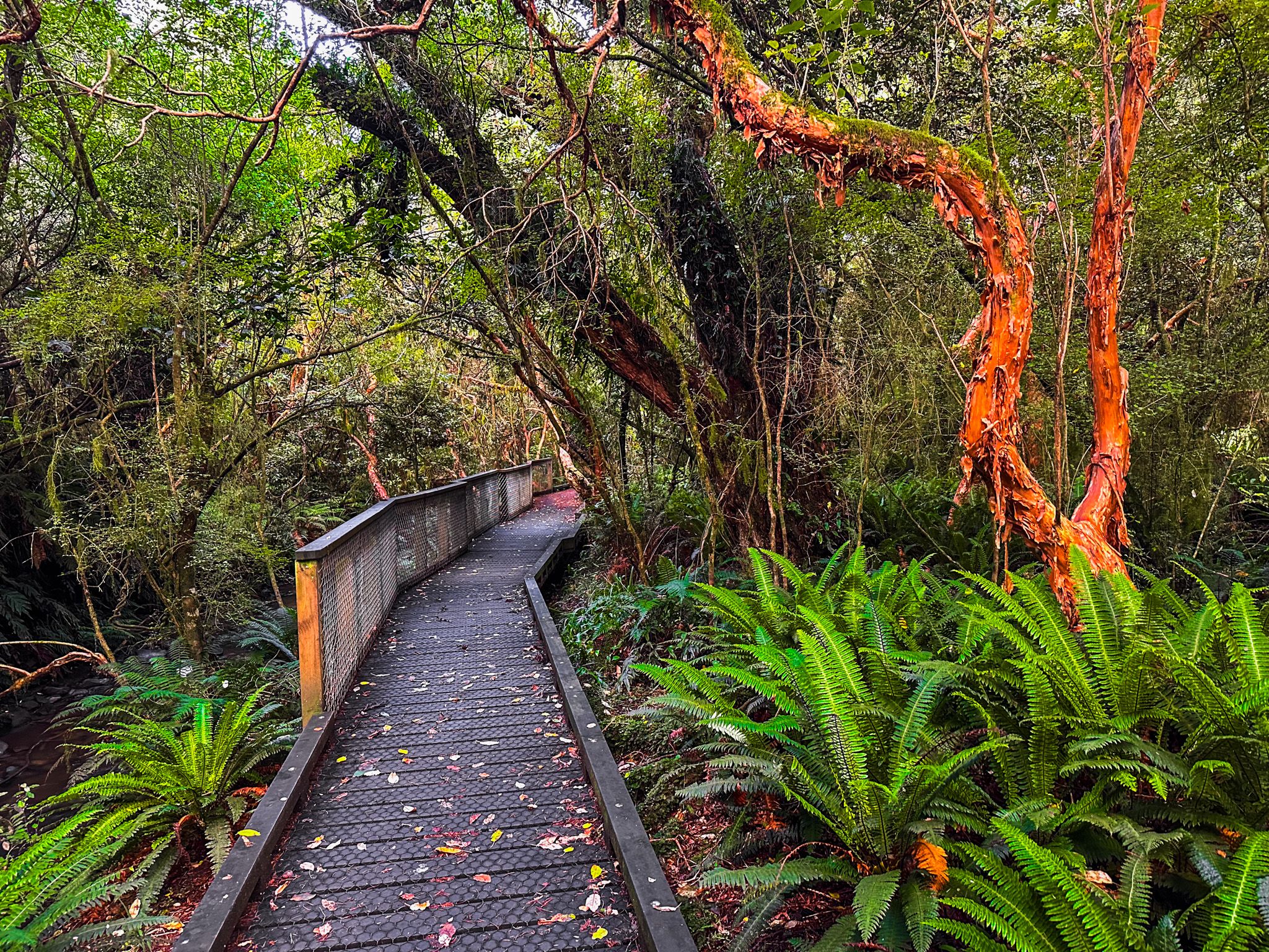
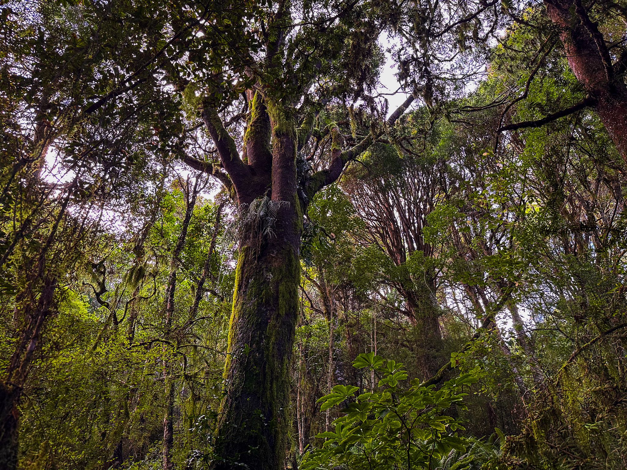
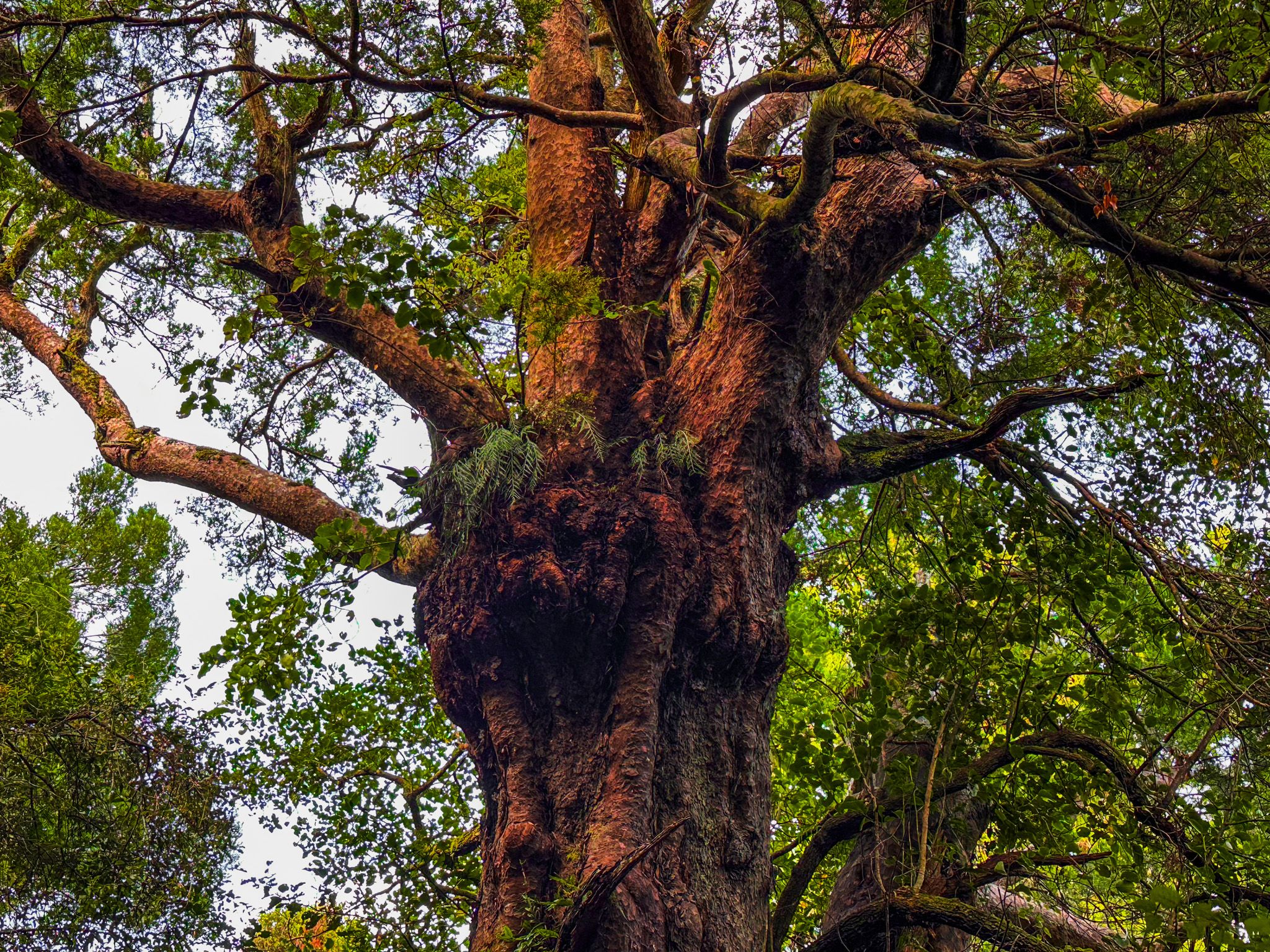
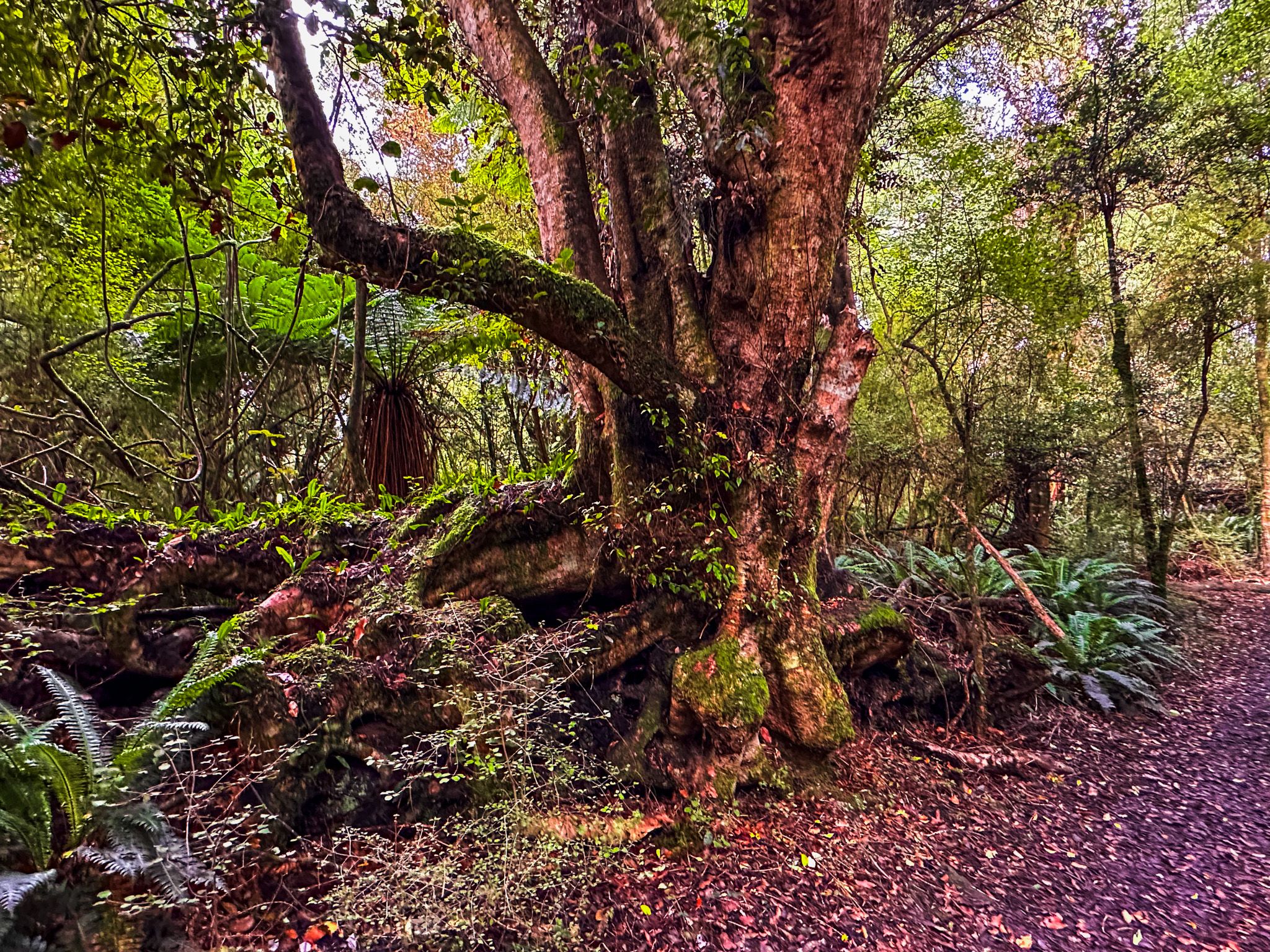
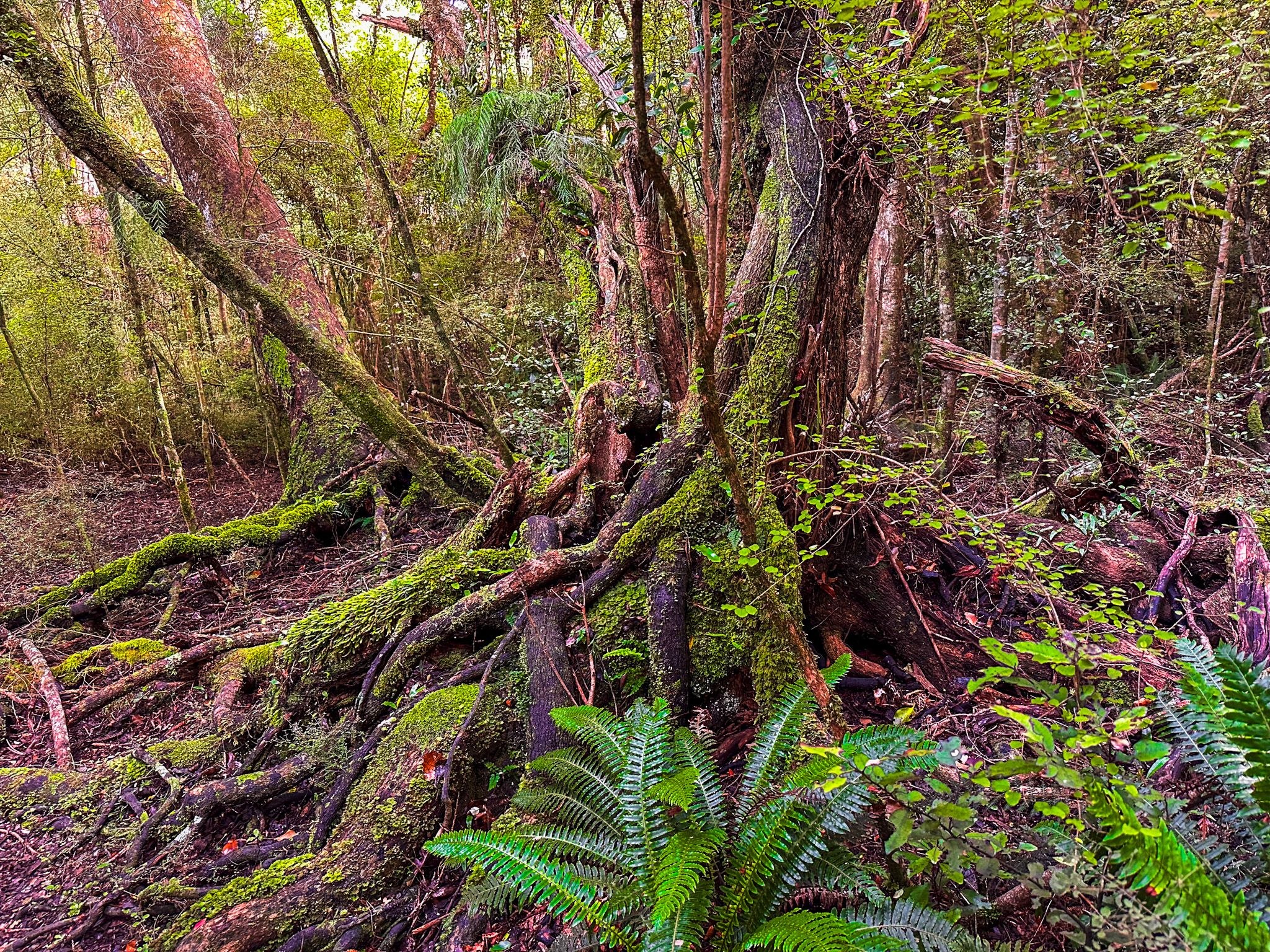
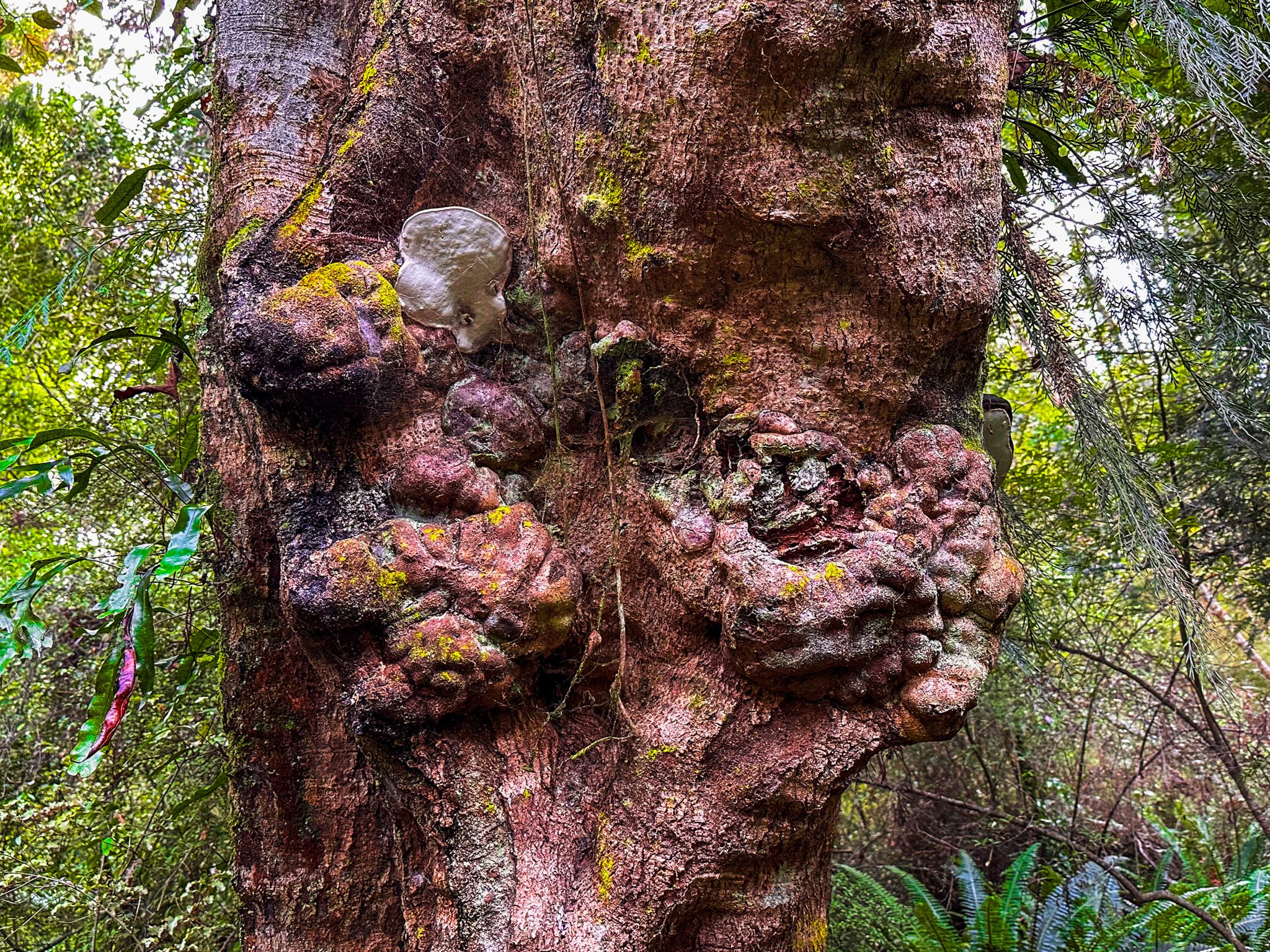
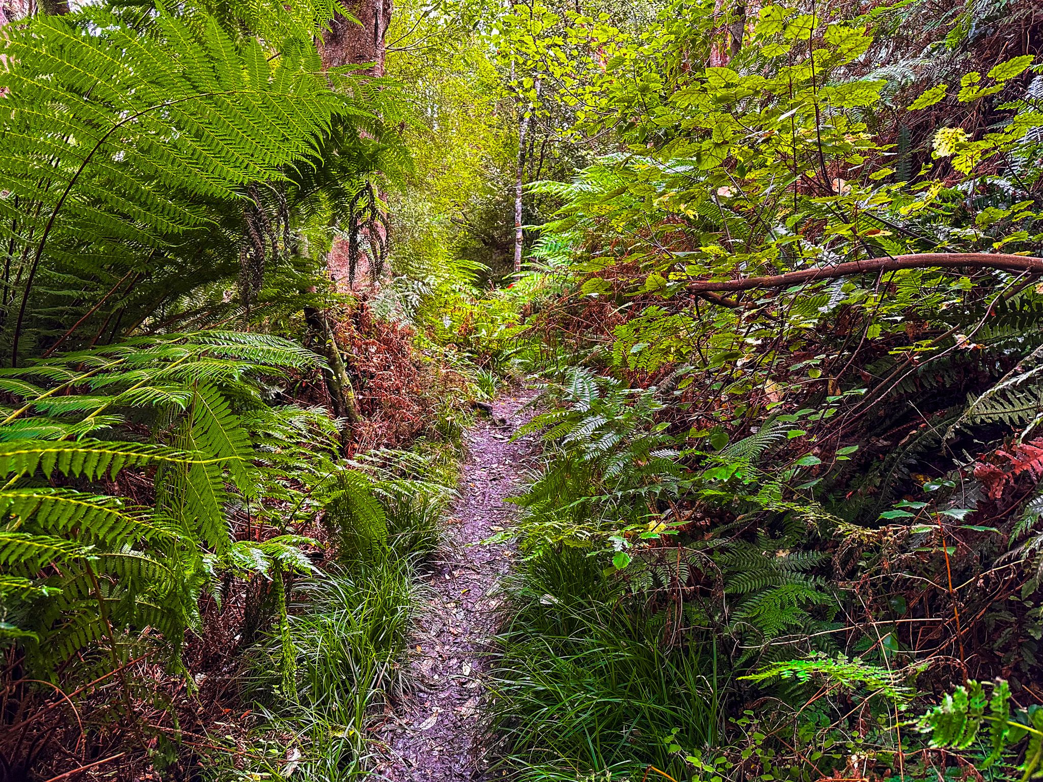
This track is a cool, sheltered rainforest, full of ferns, moss, and native old-growth trees on the lower slopes. Shortly after you start the track from the car park at the north end of Dolamore Park, you will also see options for a short loop, the Dolamore Track and the Waimumu Falls Track.
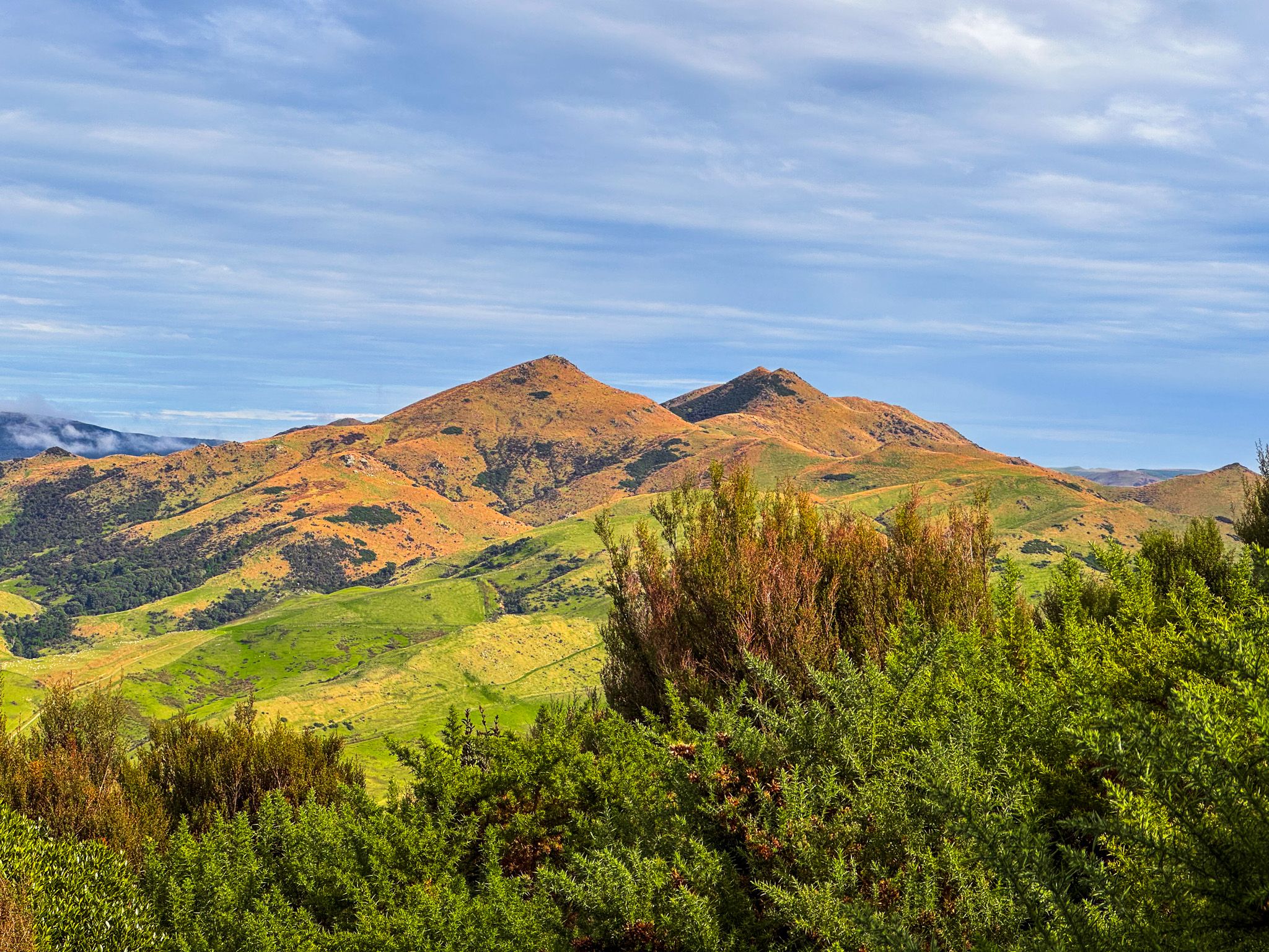
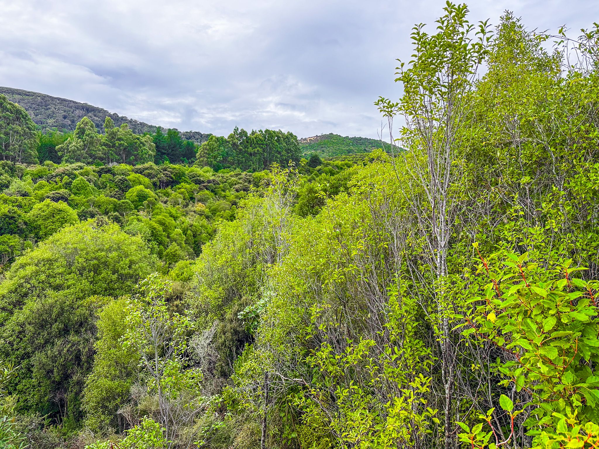
Continuing, the track climbs steeply for about 100 vertical metres, then eases off as it climbs along the ridge. After a few hundred metres on the ridge, you will see the turnoff for Poppelwells Lookout. If you choose the lookout, the track is notably rougher with significant patches of mud until you reach a drier area of younger regrowth forest. In addition, when we visited, the lookout was overgrown, limiting the view. You can check its condition at the Gore Visitor Centre, as this can vary by season.
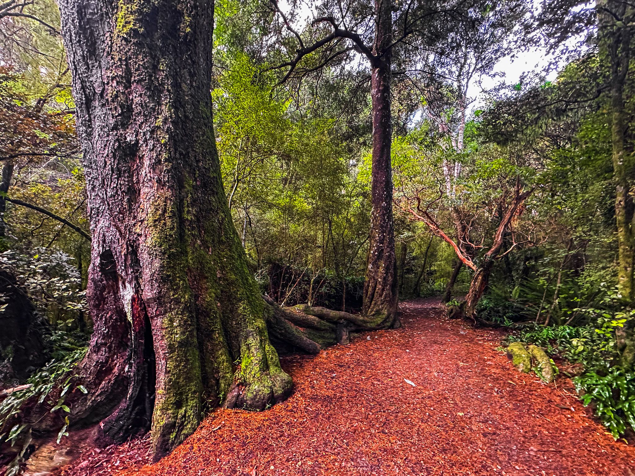
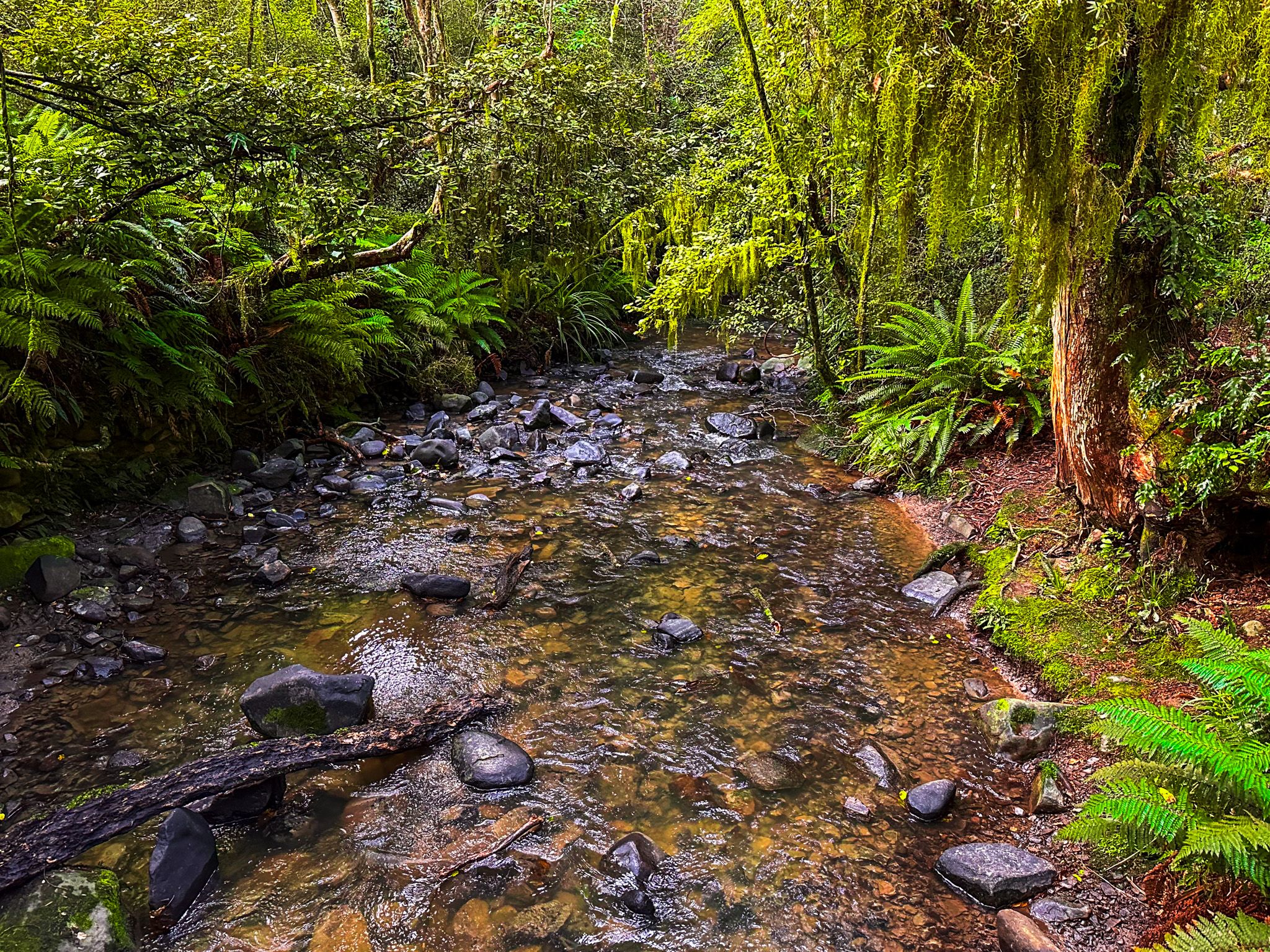
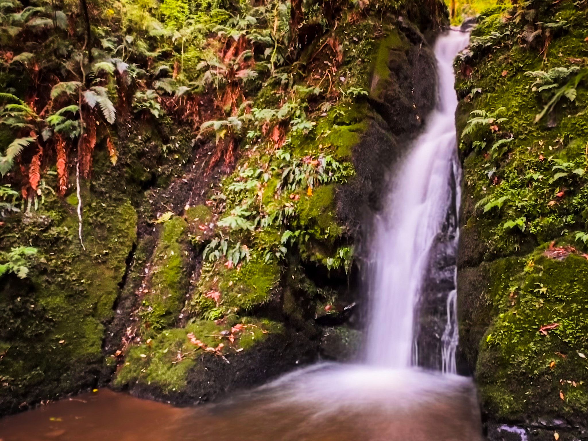
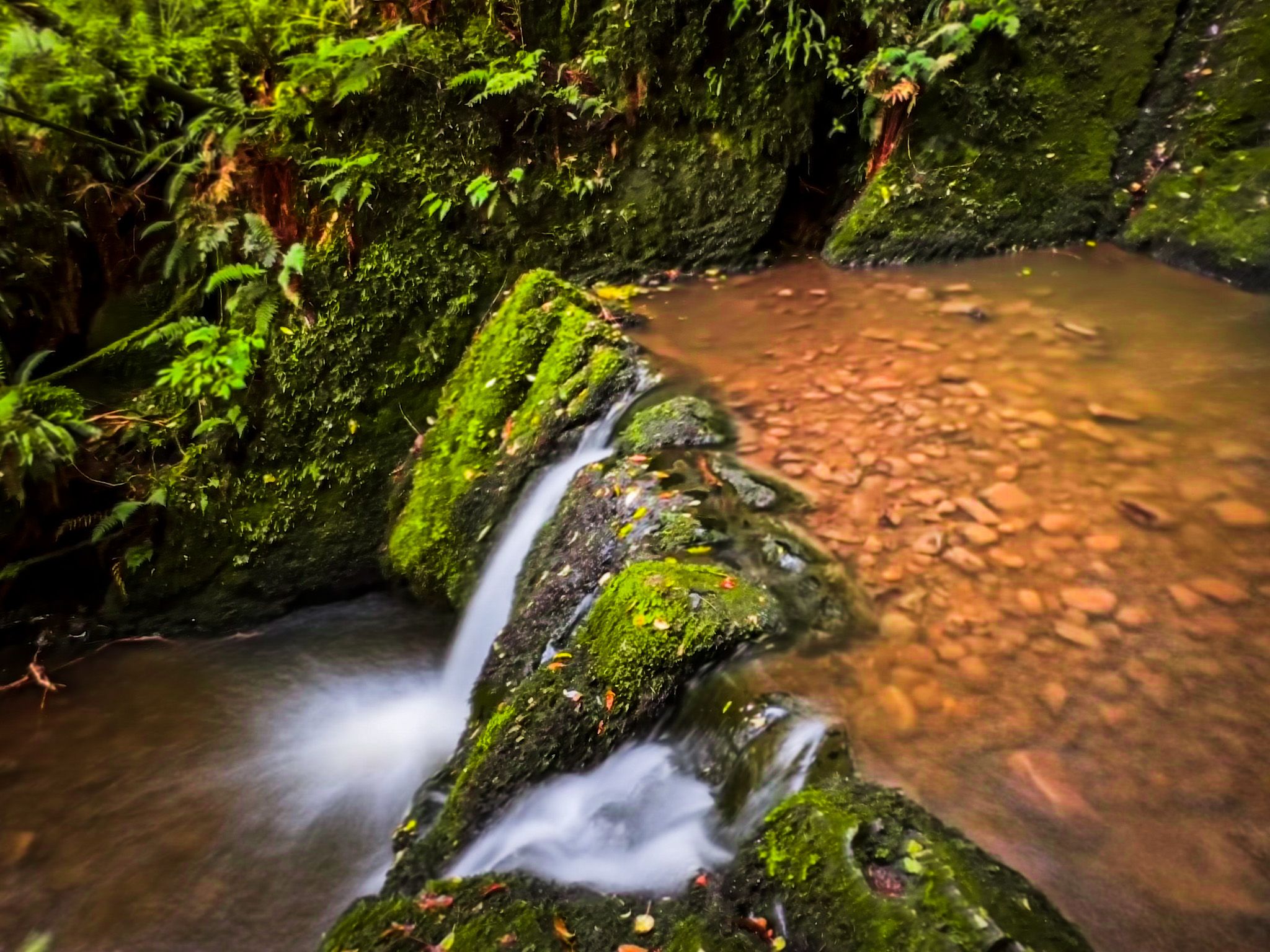
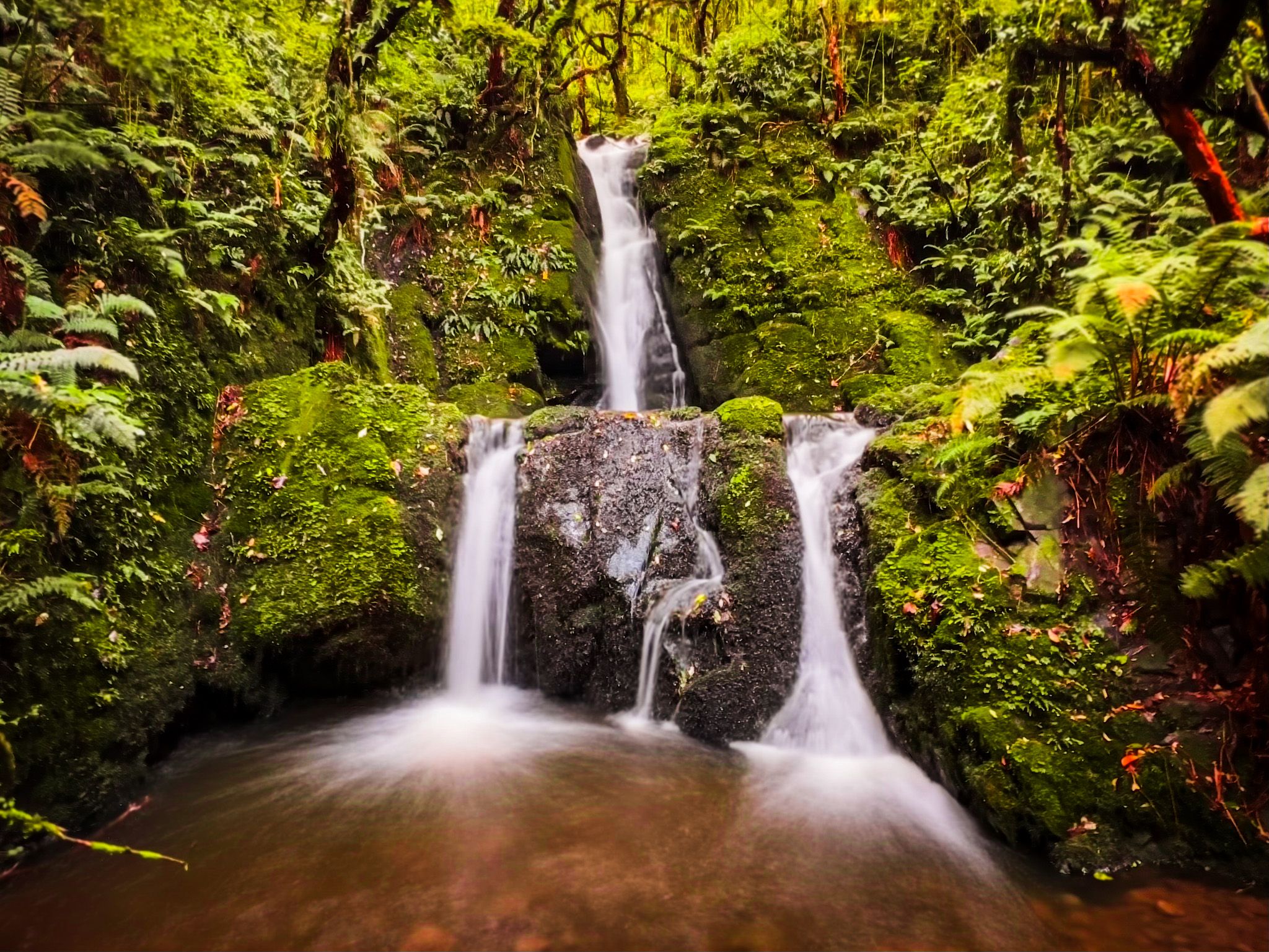
Beyond the turnoff, the forest is less established and is generally not as attractive, but you do discover a beautiful two-level waterfall on Whiskey Creek. Take care: there is a false trail to the base, with a much easier, safer one a little further along the track. Near here, you can also extend the walk by following the Hiiden Valley Track loop.
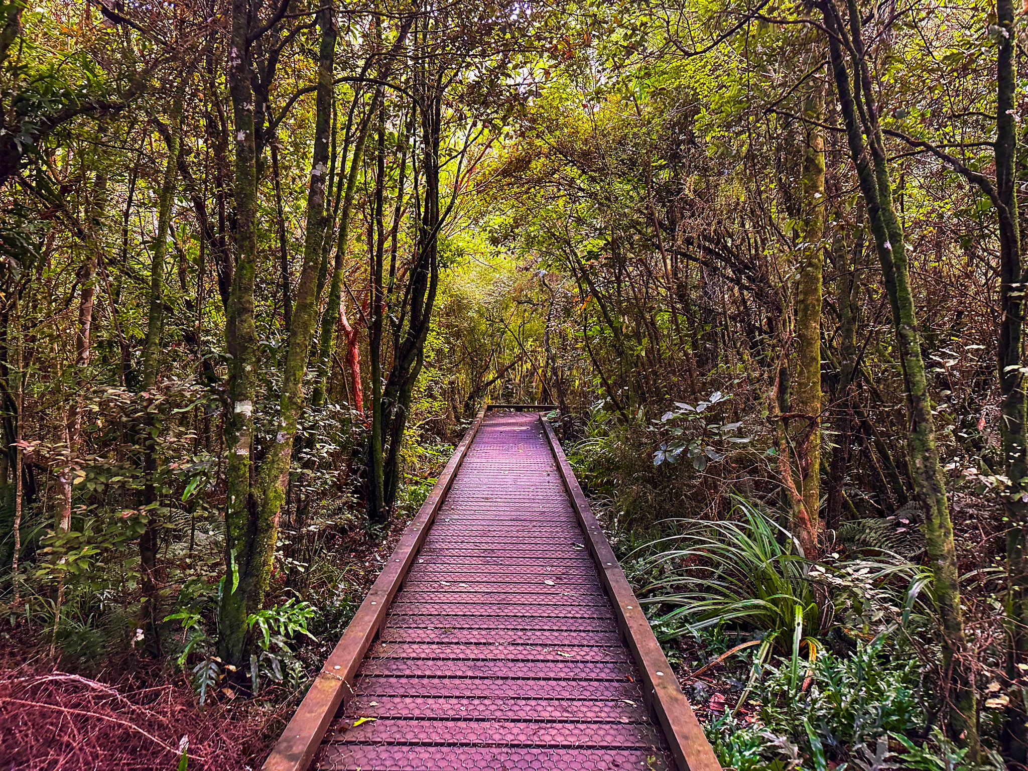
The last section of the track descends to more open terrain, with a wide, grassed, and stony walk back to the south end of Dolamore Park, passing a viewpoint above the forested gully along the way.
The walk is mostly easy, with Poppelwells Lookout more of a hike. The loop takes about 2-2.5 hours, with an additional 30–45 minutes for the Poppelwells Lookout.
Other Walks in Croydon Bush
The wider Croydon Bush network also features hiking tracks maintained by the Hokonui Tramping Club that lead to East Peak on the southeast side of the Hokonui Hills: Grants Knob Track, Middletons Track, and Richardsons Track.
How to Get There
Dolamore Park is about 11 km from Gore, at the south-west end of Croydon Bush Scenic Reserve. From central Gore, take State Highway 94 north, then turn left onto Preston Street after 500 metres. Drive to the end and turn right onto Ardwick Street, then veer left onto Crewe Street. Crewe Street becomes Reaby Road as it leaves the town, heading northwest towards the Hokonui Hills. At the intersection with Kingdon Road, turn left to stay on Reaby Road and follow this for several km to Dolamore Park Road. The main car park and entrance are along this road, about 10 minutes drive from Gore. After you enter the park, continue past the first car park to the most northern one.
Gore is on State Highway 1, a 115-minute drive and 150 km from Dunedin, and a 50-minute drive and 64 km from Invercargill.
Nearby places to visit include Tapanui, Leithen Glen, Bannerman Park, the Hokonui Moonshine Museum and Distillery and the Eastern Southland Gallery.