Discover the Waitonga Falls Track
Located on the slopes of Mount Ruapehu in Tongariro National Park, the Waitonga Falls Track is a beautiful alpine forest walk. Starting from a car park on Ohakune Mountain Road, about three-quarters of the way to the ski field, this track leads you to the Waitonga Falls. The track is around 1,200 metres above sea level, which is near the upper limit for native tree growth in New Zealand.
Walking the Track
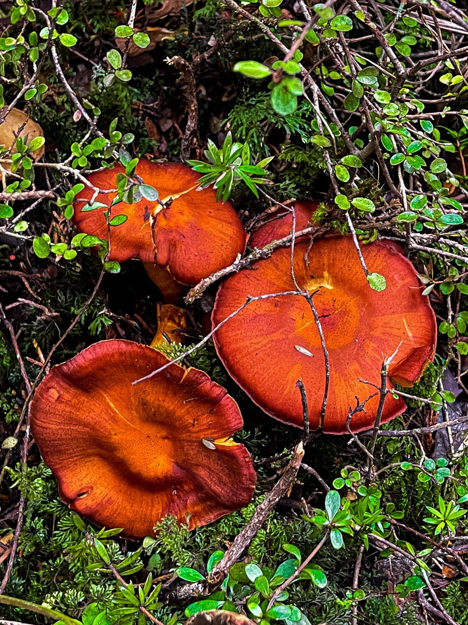
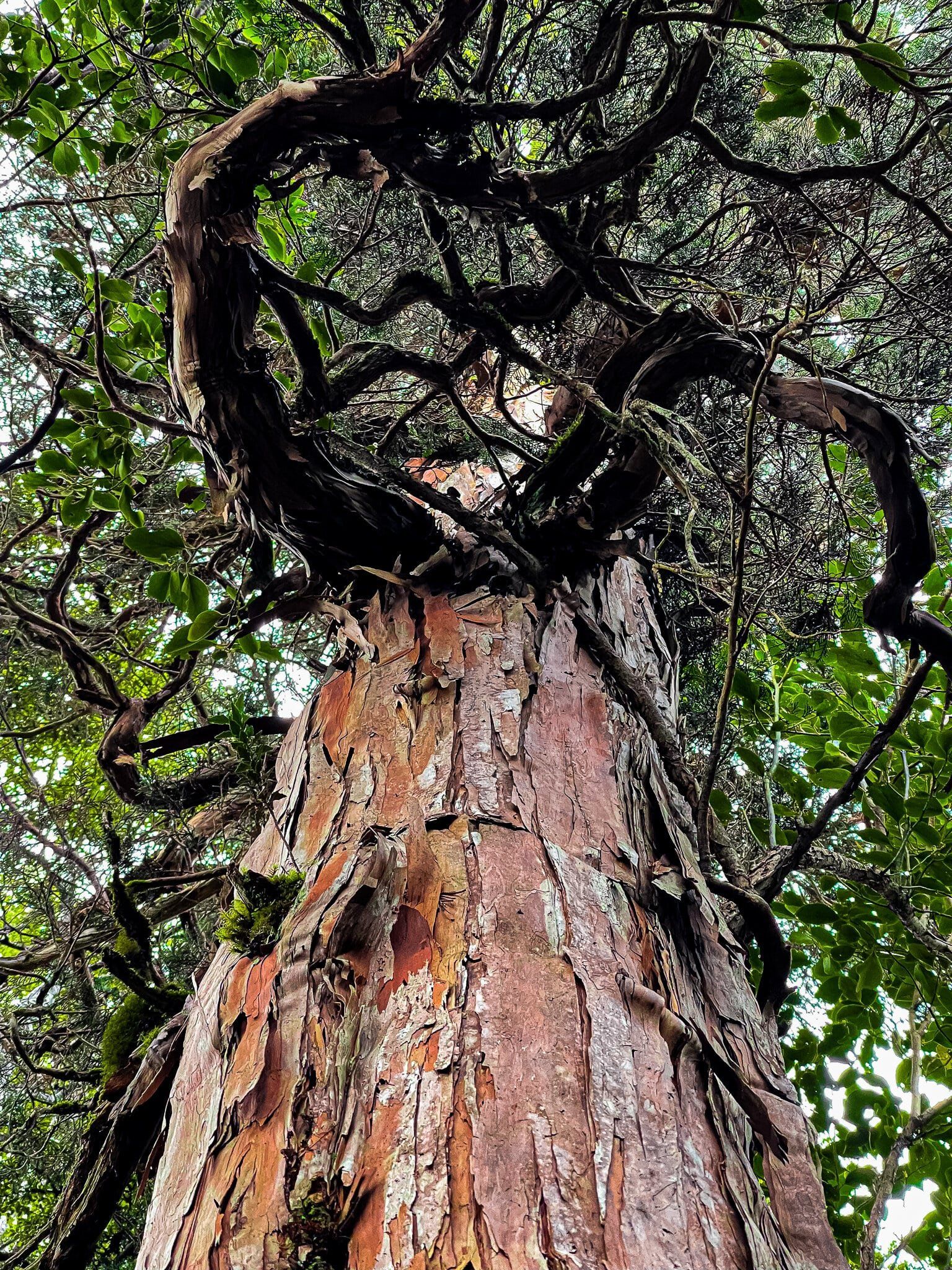
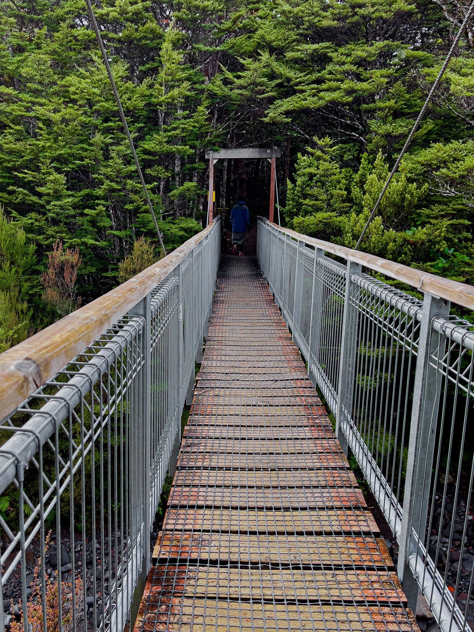
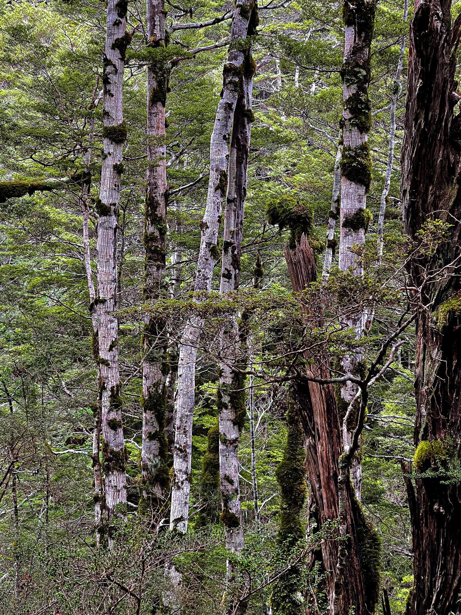
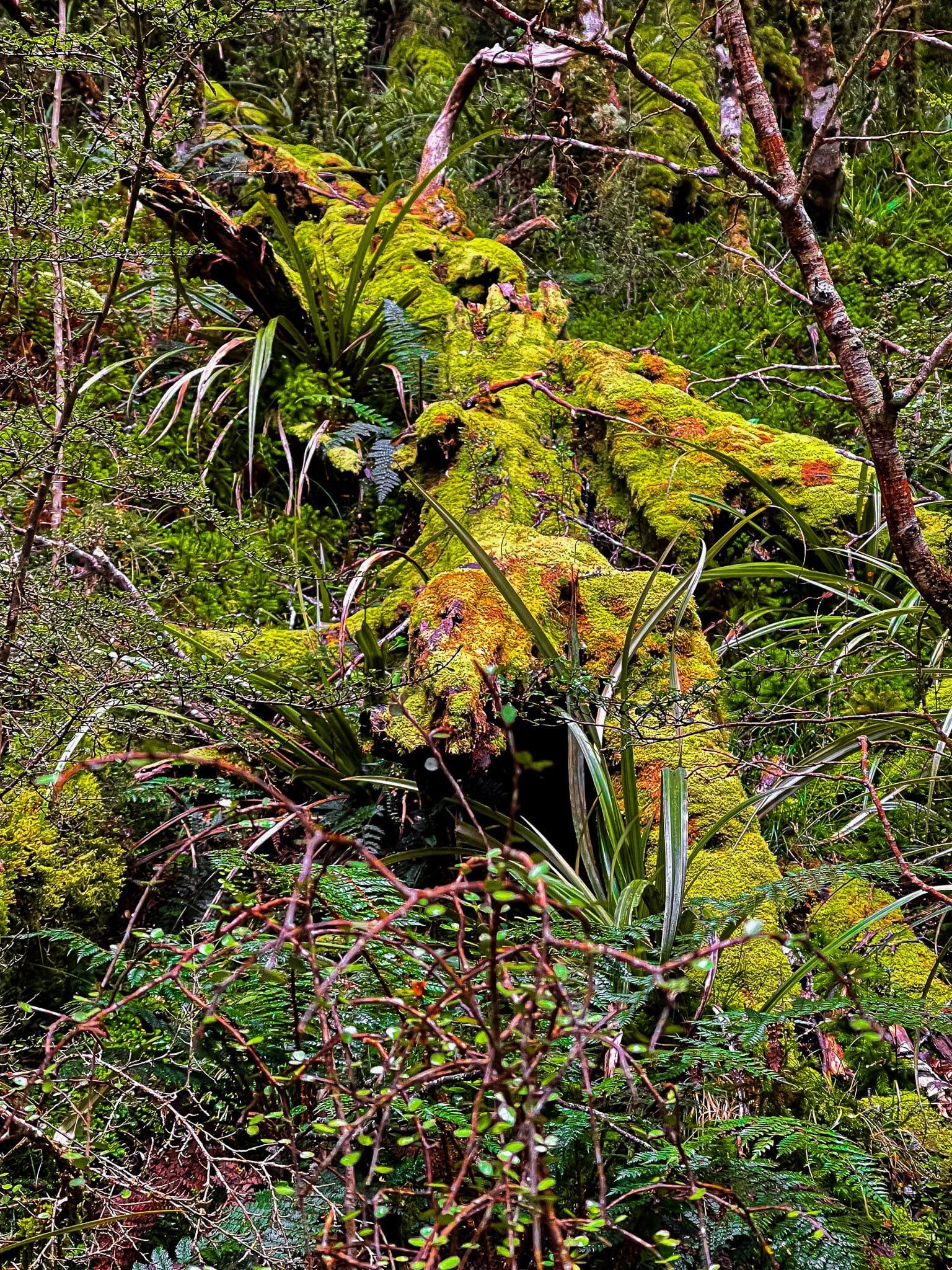
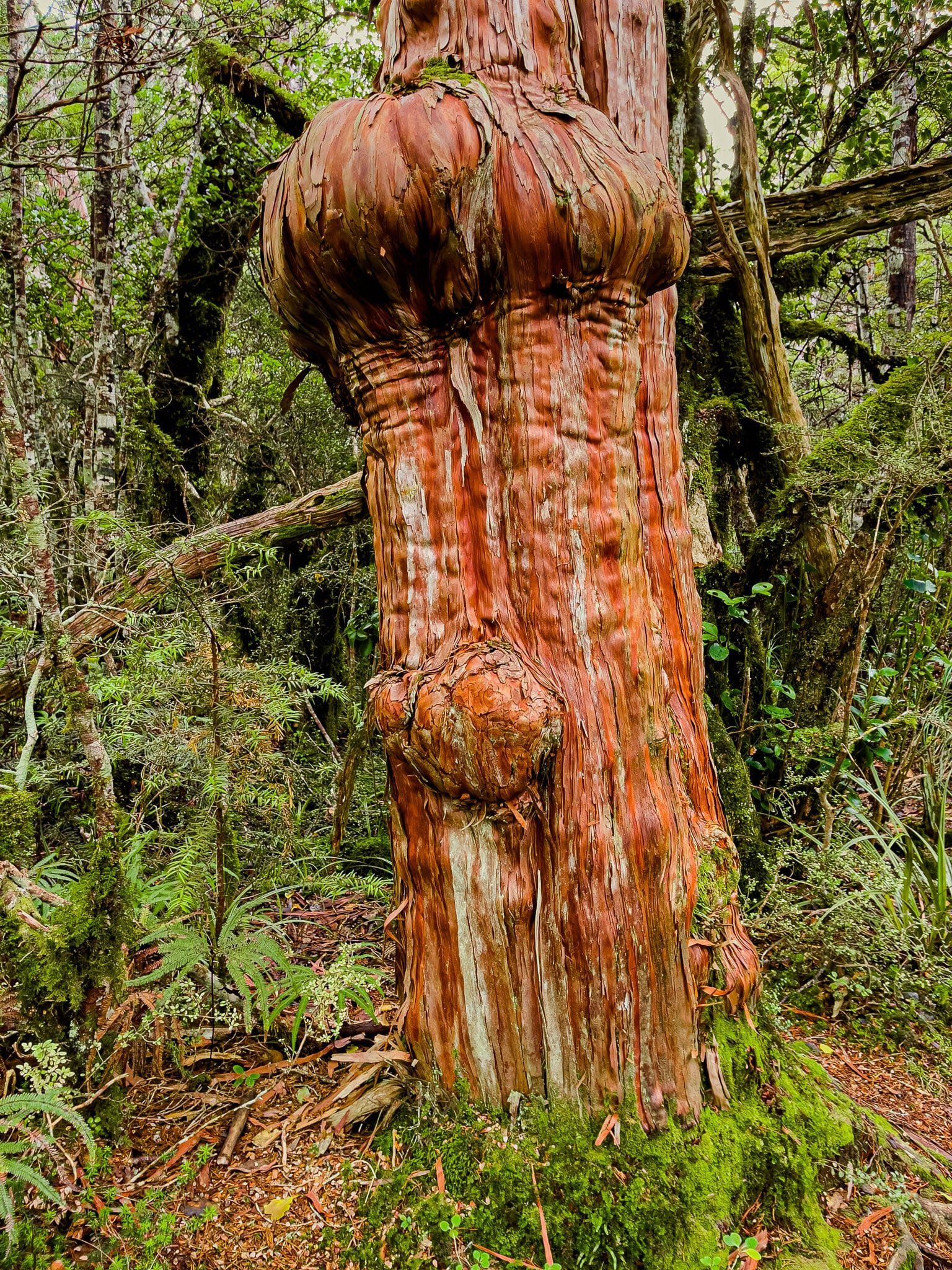
The initial section of the Waitonga Falls Track is relatively easy. The forest here is a mix of mountain beech and kaikawaka (mountain cedar), creating a rich rainforest atmosphere.
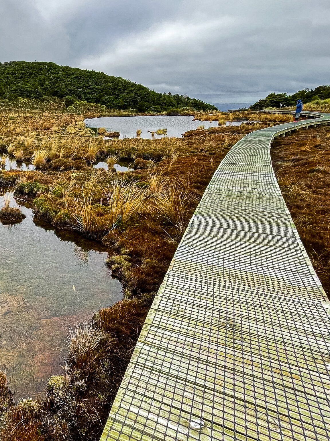
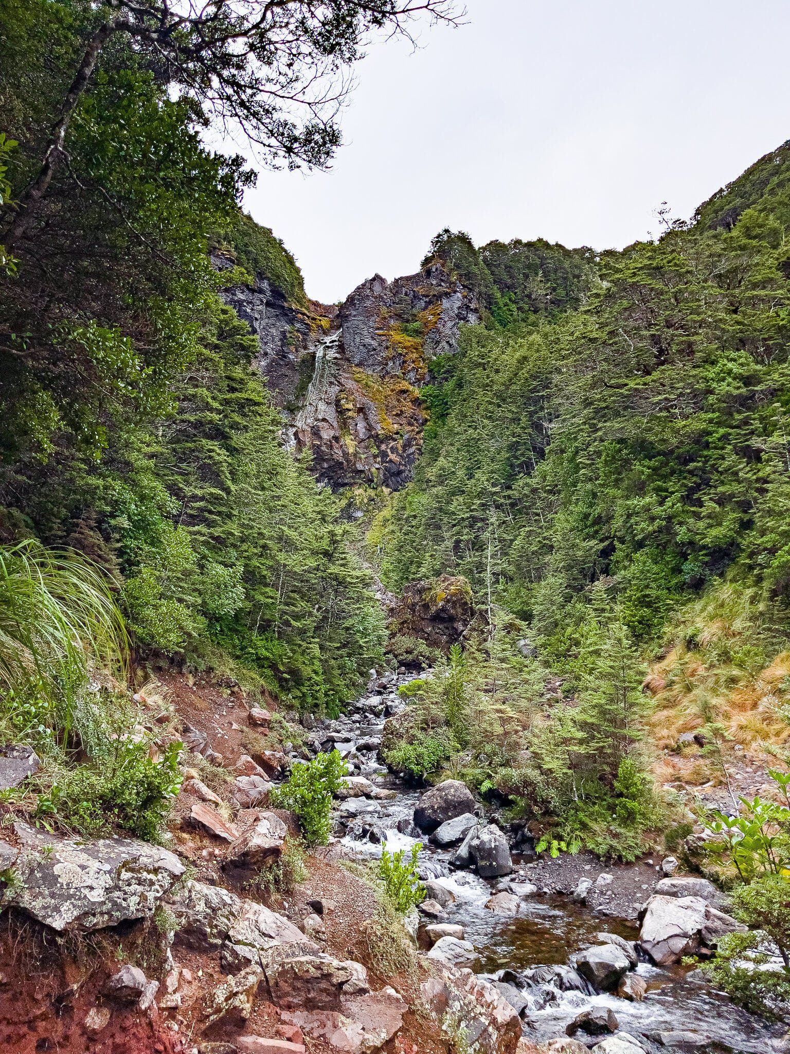
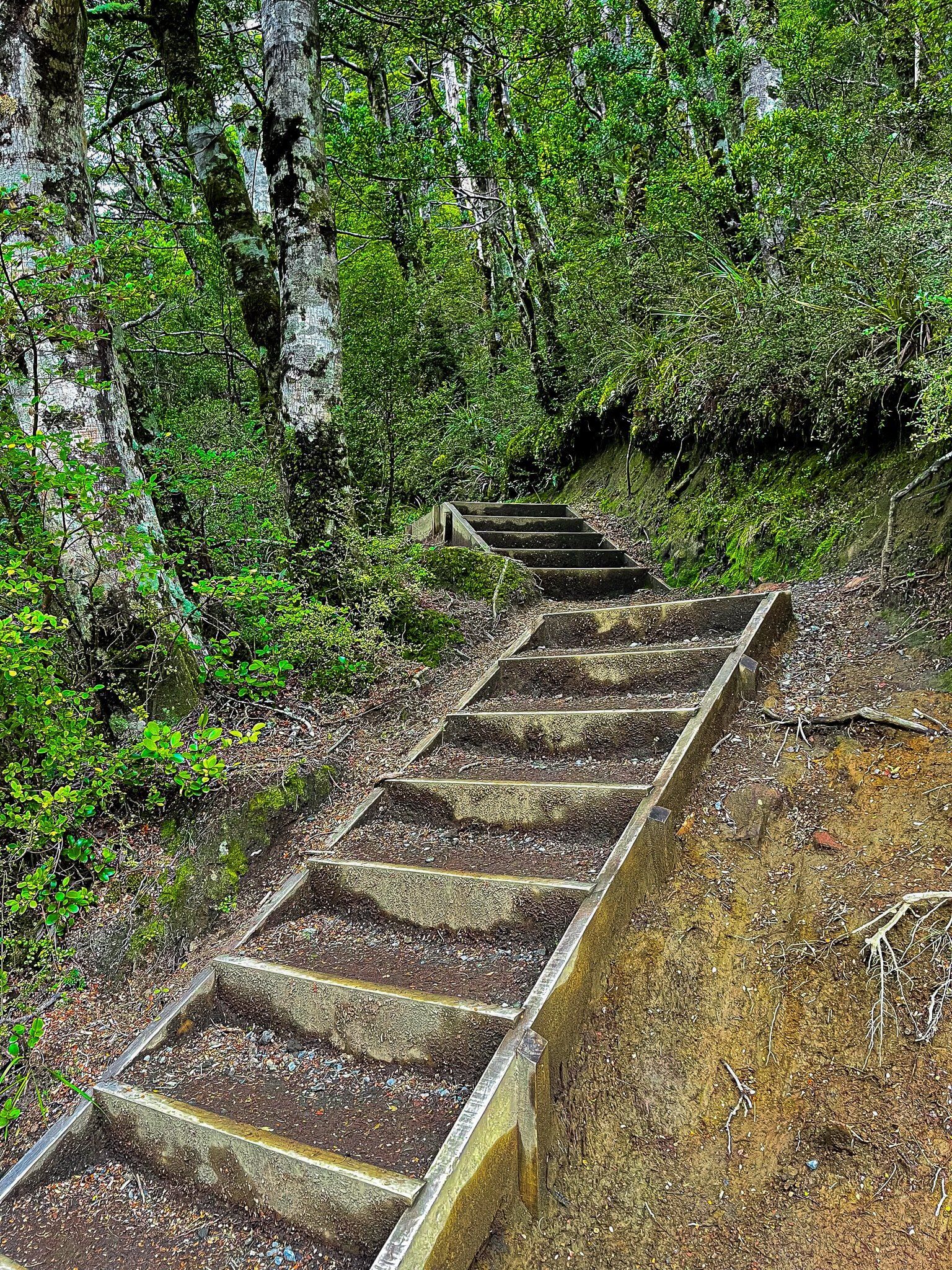
About halfway along, you will leave the forest and cross a boardwalk over a mountain wetland, which includes the small lake Rotokawa. On clear days, you might catch the reflection of Mount Ruapehu in the lake's surface. After re-entering the forest, the track descends steeply with steps leading to the stream below the falls.
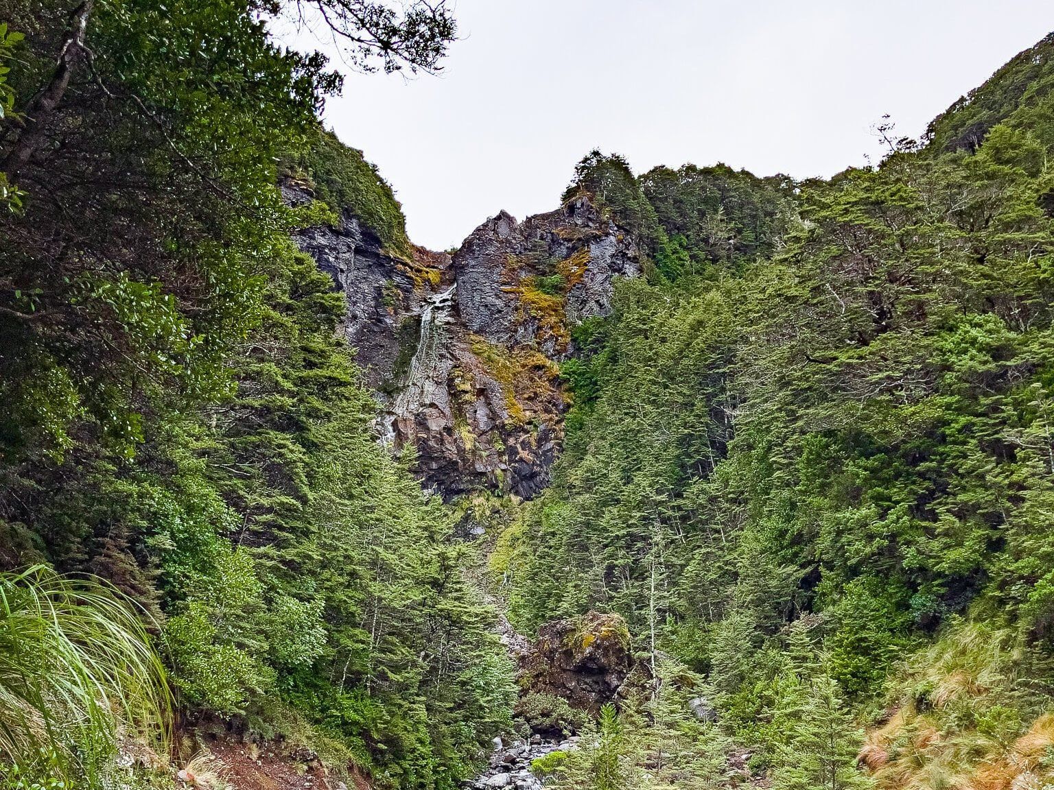
At 39 metres, these are the highest falls in Tongariro National Park, but from this vantage point, you can see only the top section of the falls. For a more complete view, you can carefully make your way up the side of the stream.
Allow approximately 90 minutes for a leisurely return trip on the track.
Extending Your Adventure
If you're up for a longer trek, you can follow the path downstream to join the Round the Mountain tramping track. This multi-day journey takes you from hut to hut around Mount Ruapehu.
How to Get There
To reach the Waitonga Falls Track from Ohakune, drive up Ohakune Mountain Road until you are about three-quarters of the way to the Ruapehu ski field.
Other attractions along the road include Mangawhero Falls (Golems Pool from LOTR) and the Rimu Walk, with ancient big trees at the start of the road.