Exploring the Waiorongomai Valley
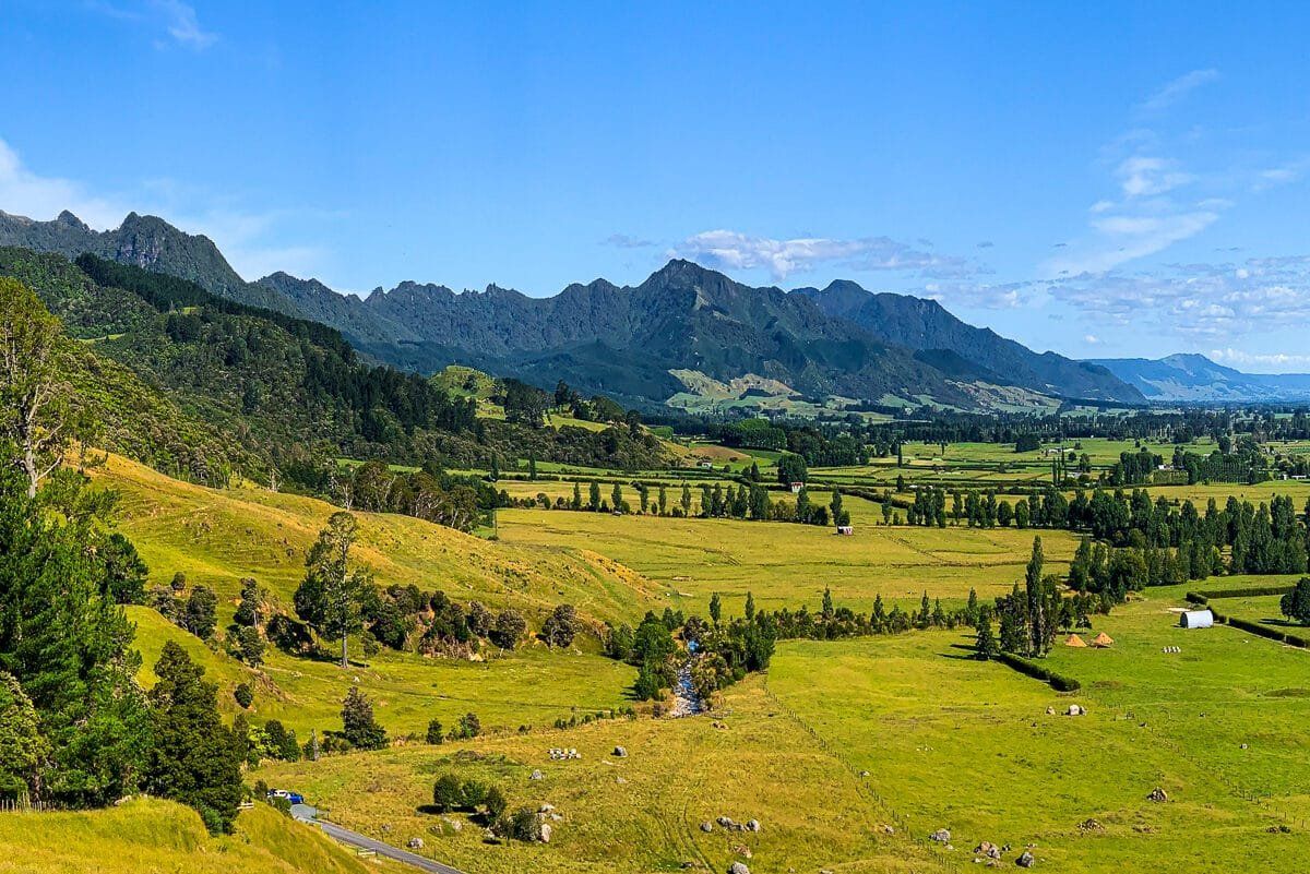
Nestled on the southwestern slopes of Te Aroha, on the eastern side of the Kaimai Range, the Waiorongomai Valley offers a series of captivating walks. These tracks were originally carved out during several attempts to mine gold commercially, which largely ended in failure. The trails include old tramways and steep inclines designed for gravity-driven trams. For those eager for a challenge, the well-maintained Butlers Incline is a rewarding hike.
Historical and Natural Features
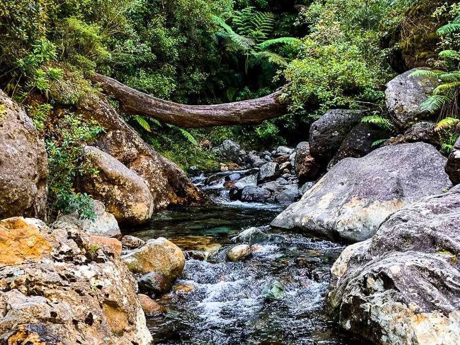
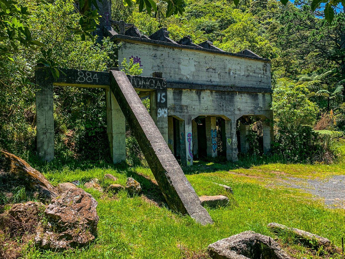
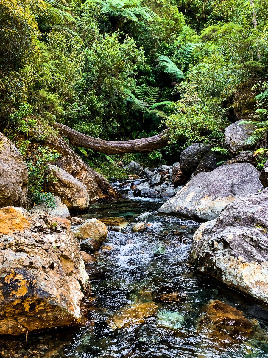
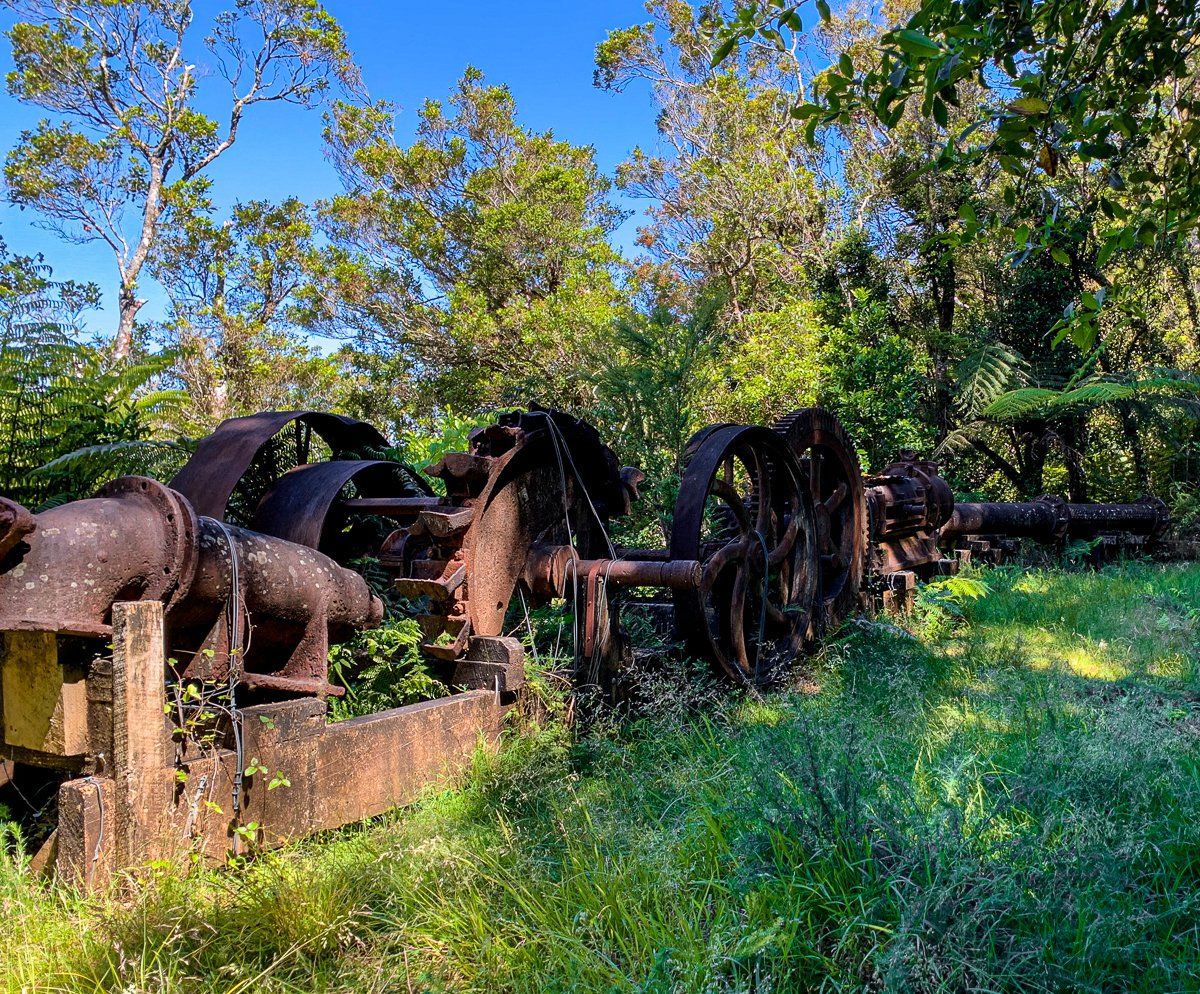
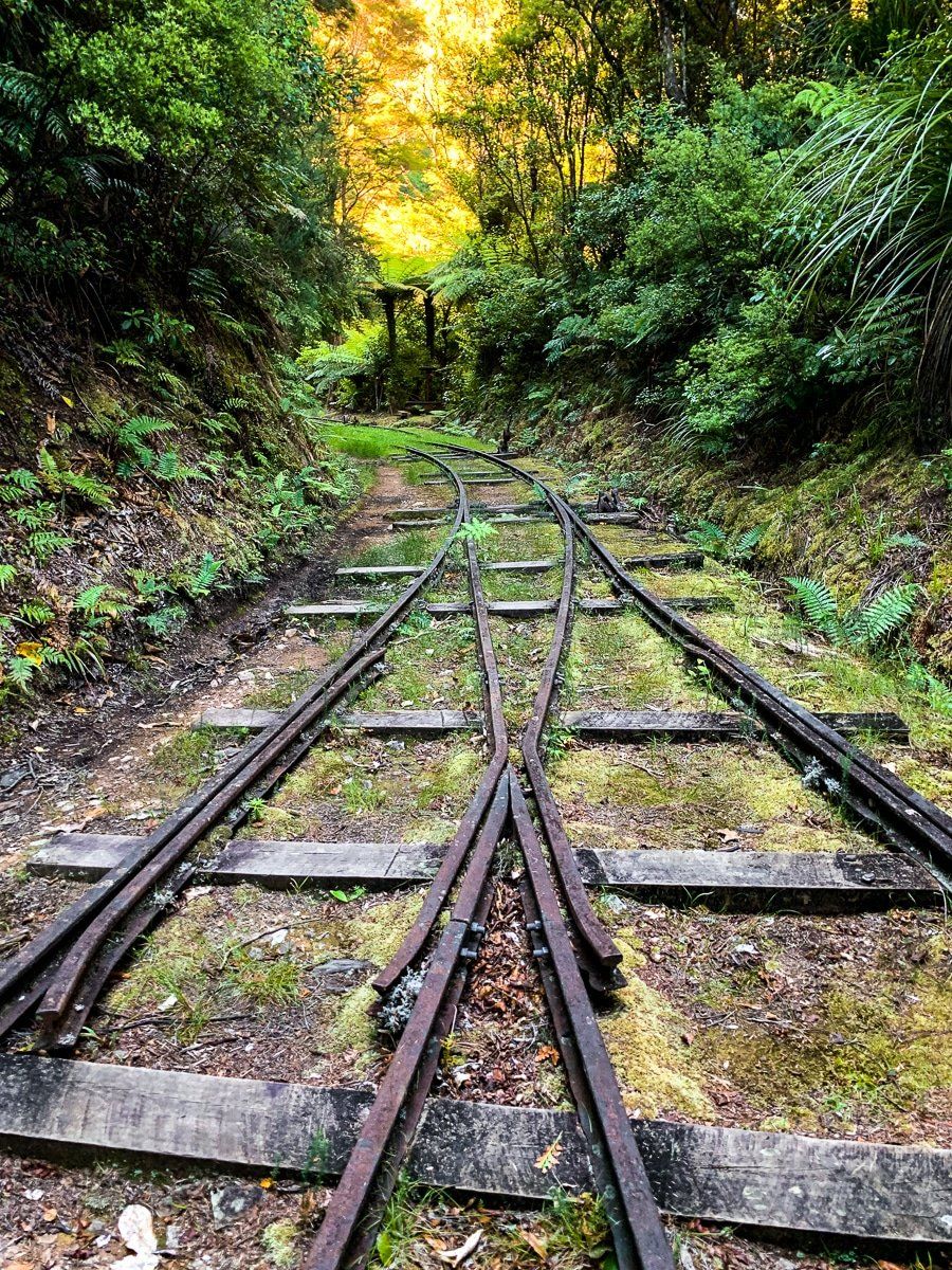
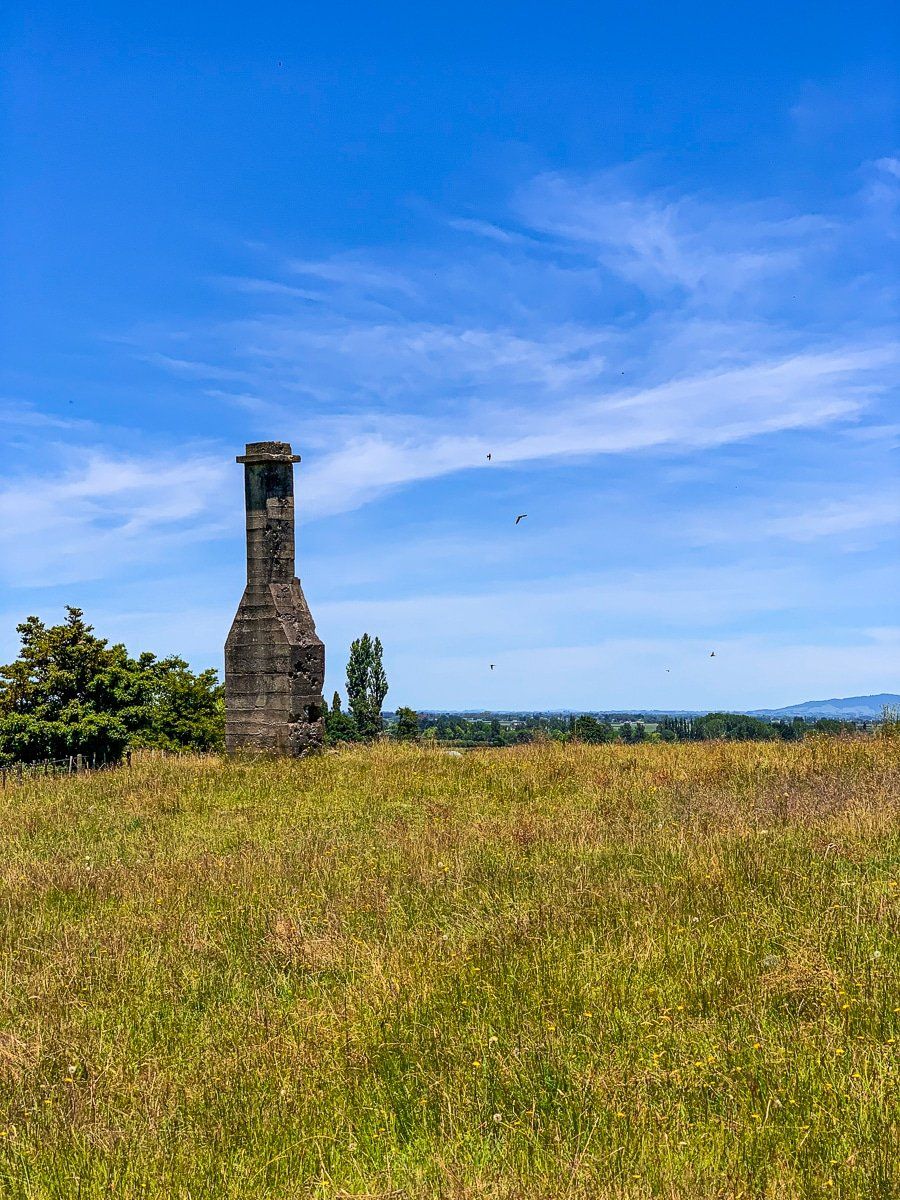
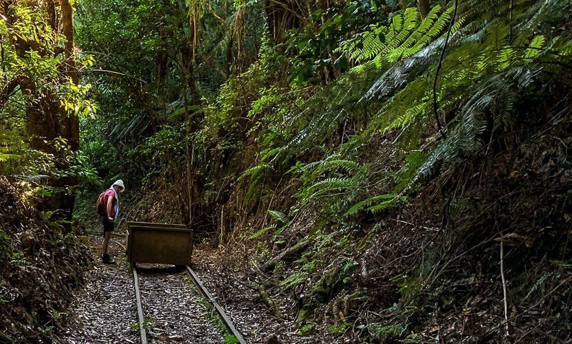
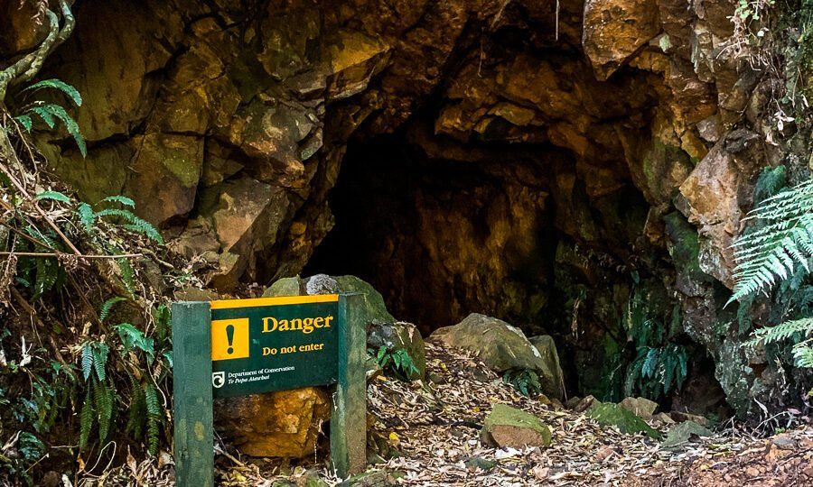
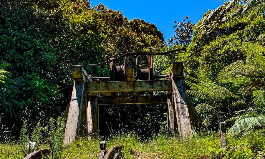
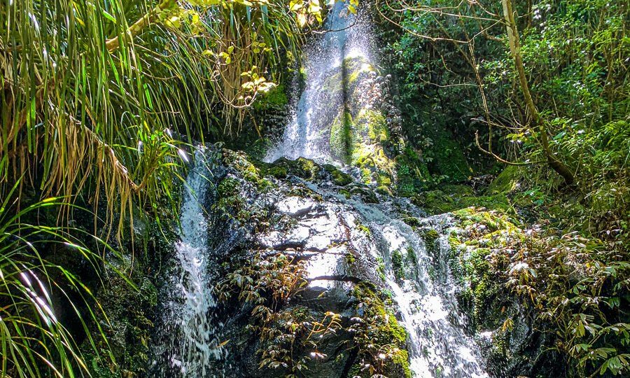
As you explore the walks, you'll encounter remnants of the gold mining era. Tram tracks, tunnels, rusty mining equipment, and old mine heads and shafts are scattered throughout the area. The forest is gradually reclaiming the land, adding to the charm with multiple waterfalls along the way.
Hiking to Mt Te Aroha
For a more ambitious trek, you can hike to the top of Mt Te Aroha. From the summit, you can connect with the north-south Kaimai tramping tracks for further exploration opportunities.
Choosing Your Route
When planning your visit, carefully check a map to select a route that suits your time and ability. Some tracks are steep and involve stream crossings, while others are mostly flat and straightforward.
Getting to the Waiorongomai Valley
To reach the start of the tracks, take Waiorongomai Road off Te Aroha Gordon Road, located southwest of Te Aroha.
