Discover Waikato Falls
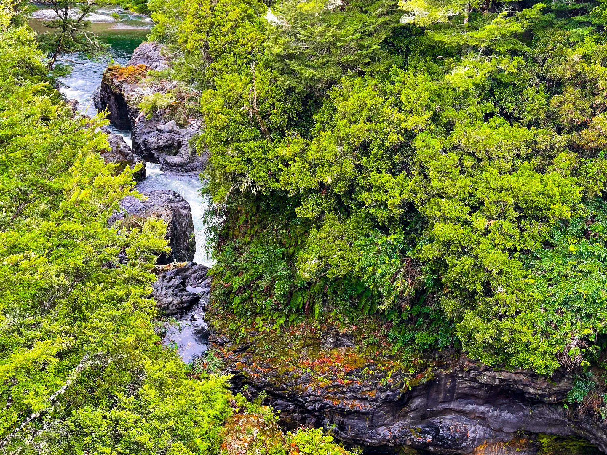
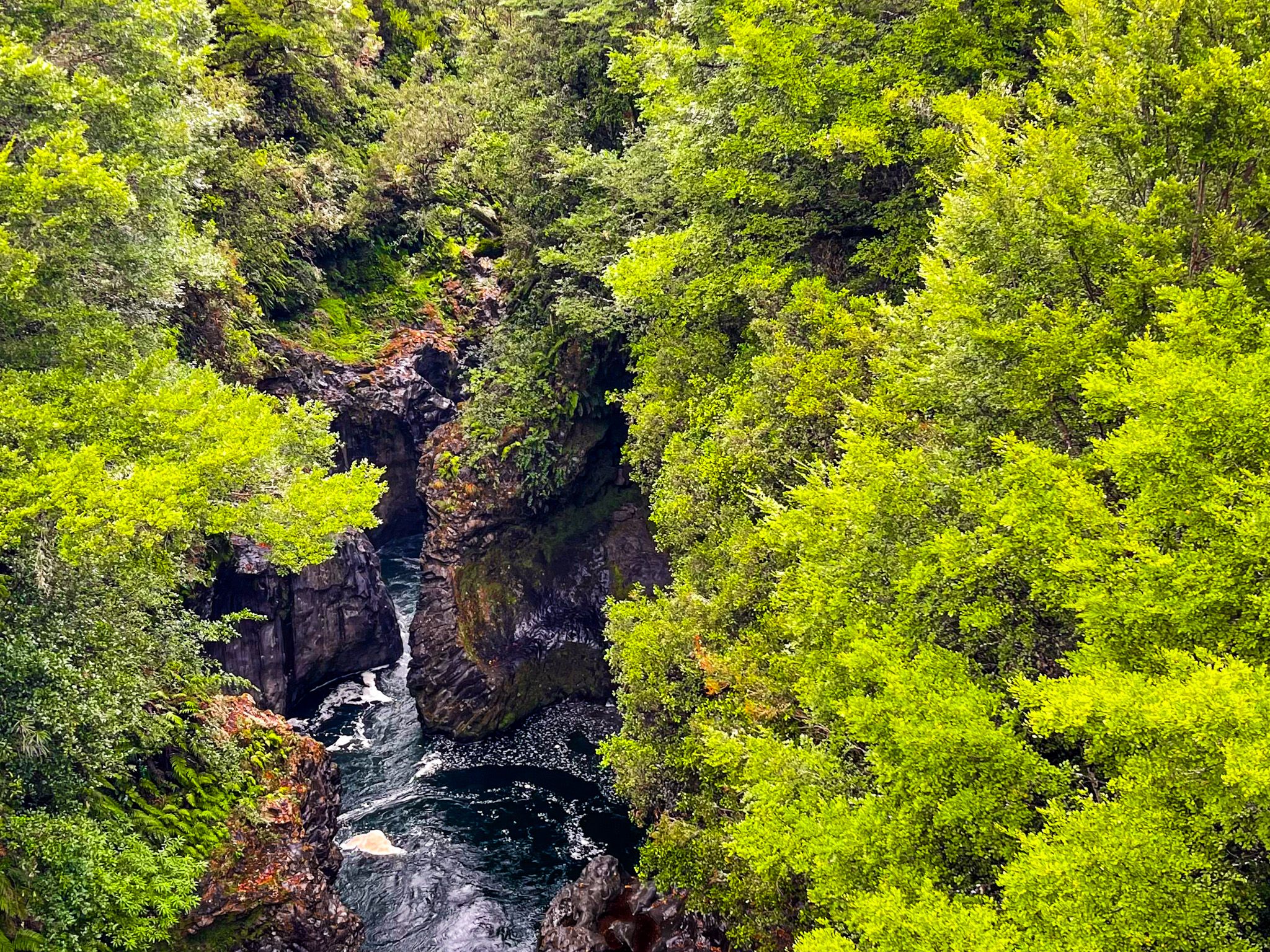
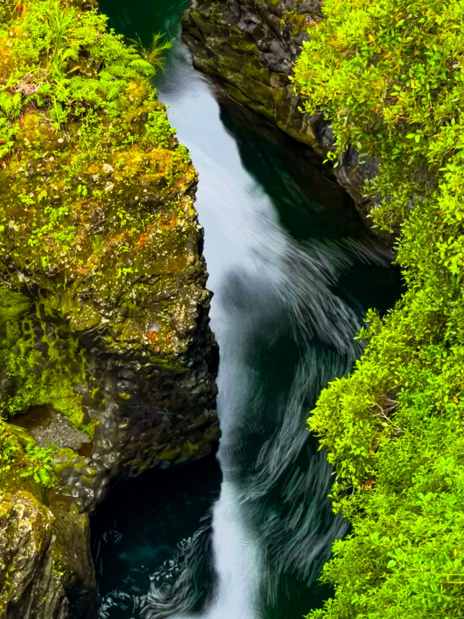
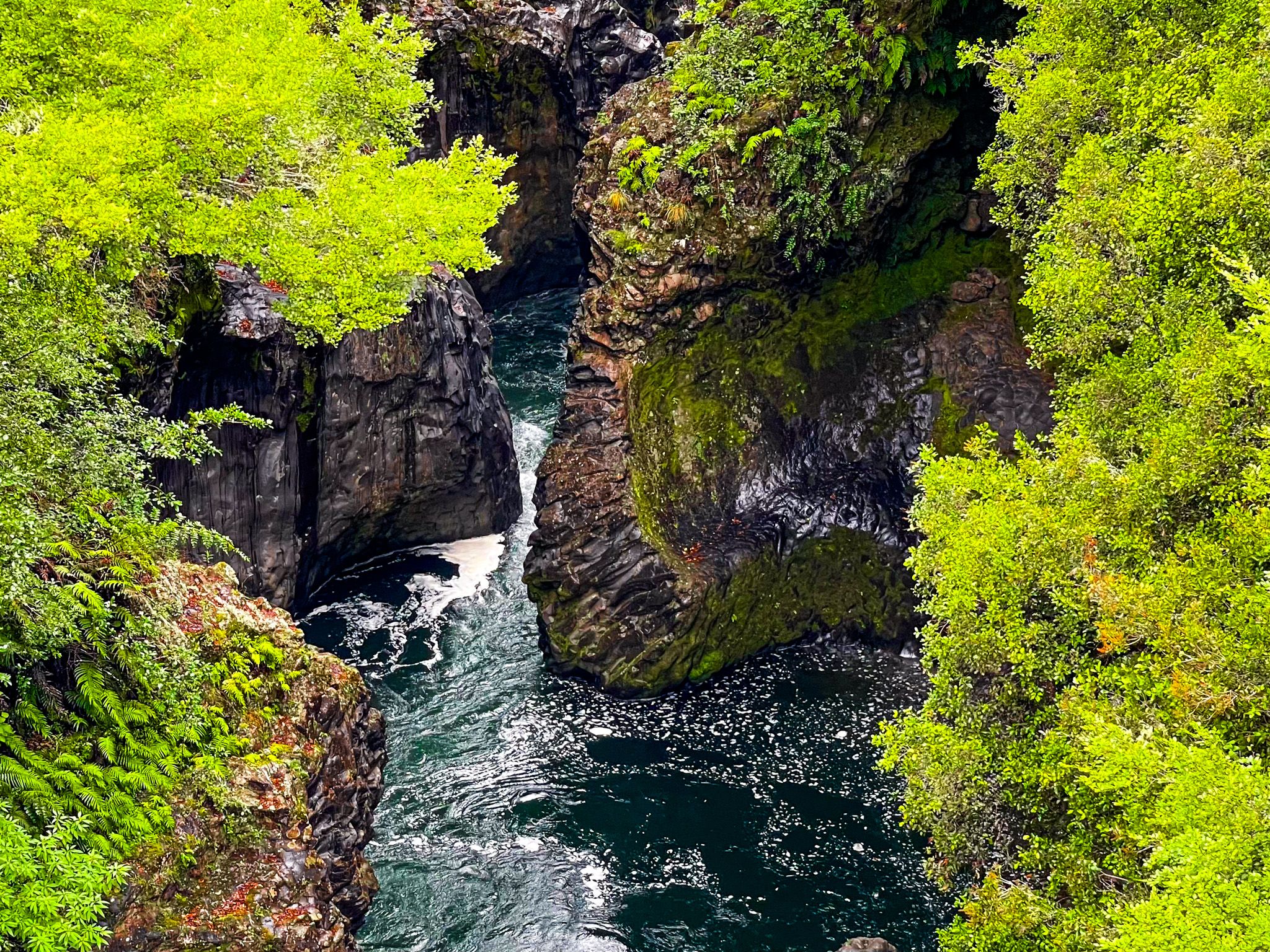
Waikato Falls lies within the western side of Kaimanawa Forest Park, reached via Kaimanawa Road off the Desert Road (State Highway 1 south of Tūrangi. This secluded site is where the Tongariro River plunges into a narrow gorge surrounded by mountain beech and tōtara. The clear, fast-flowing river forms part of the catchment feeding Lake Taupō from the south.
Bush and Water Views
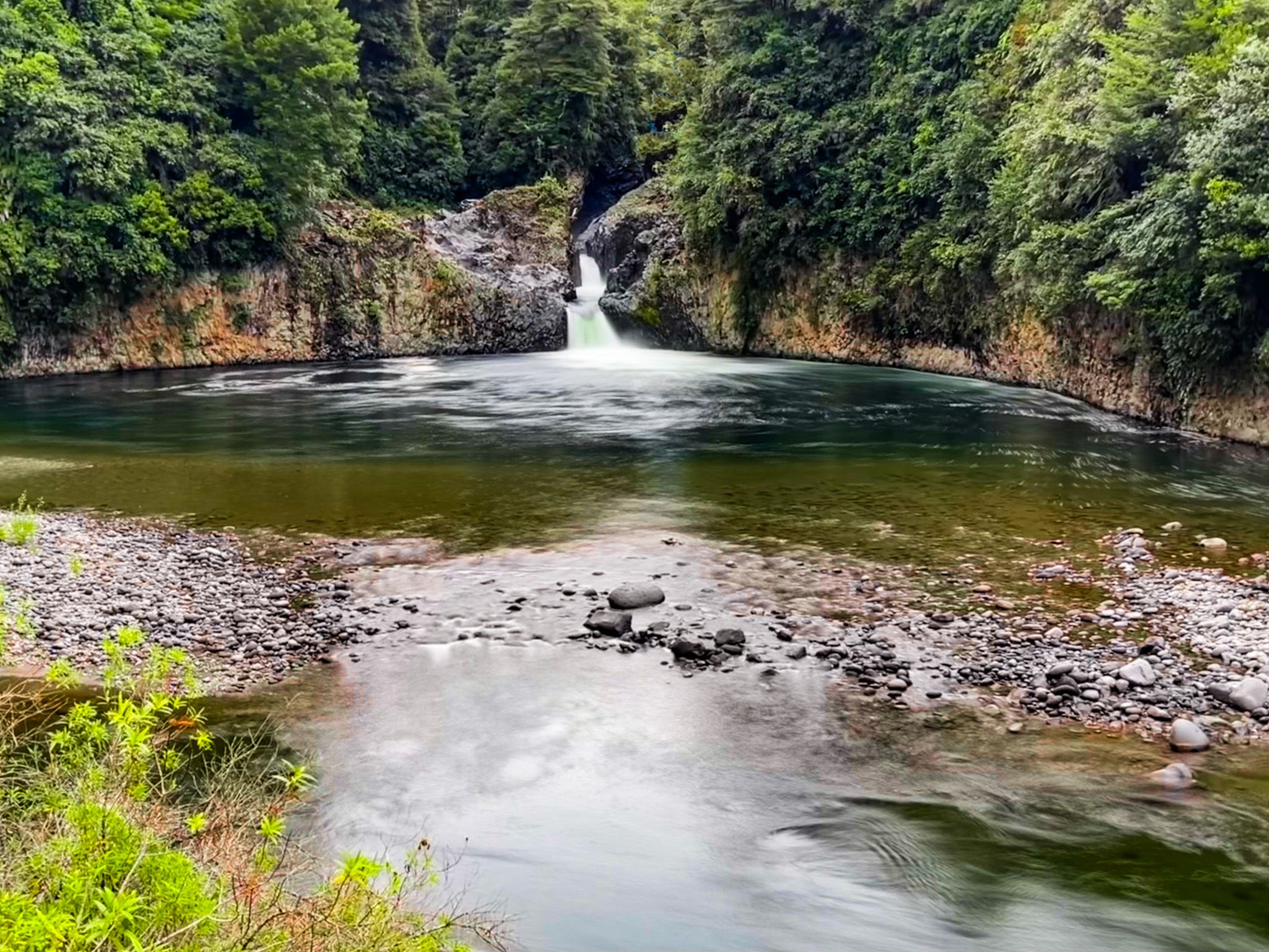
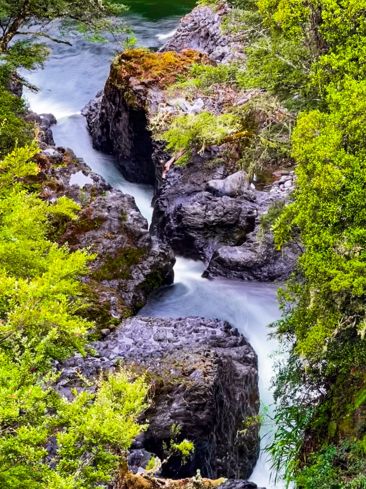
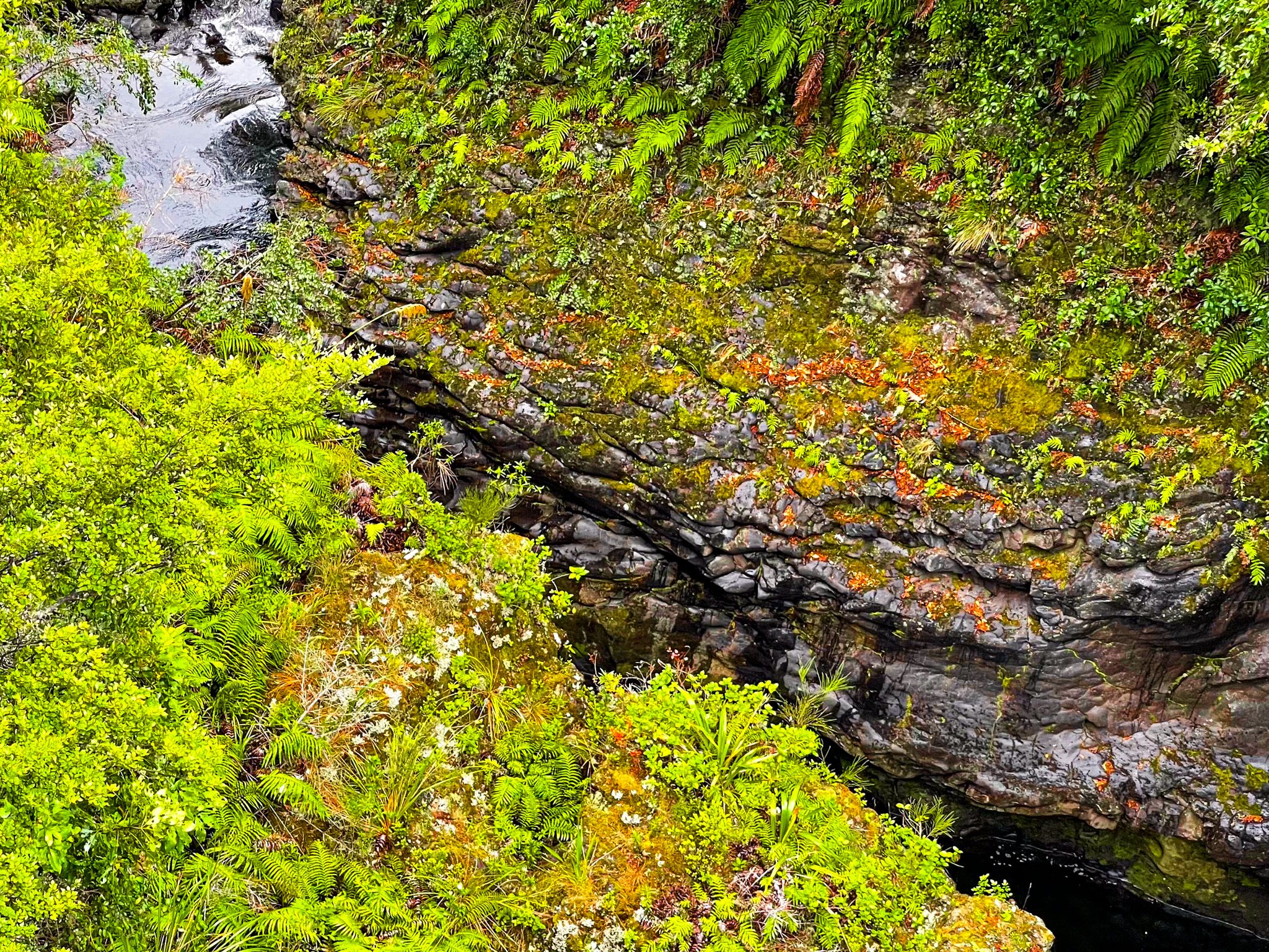
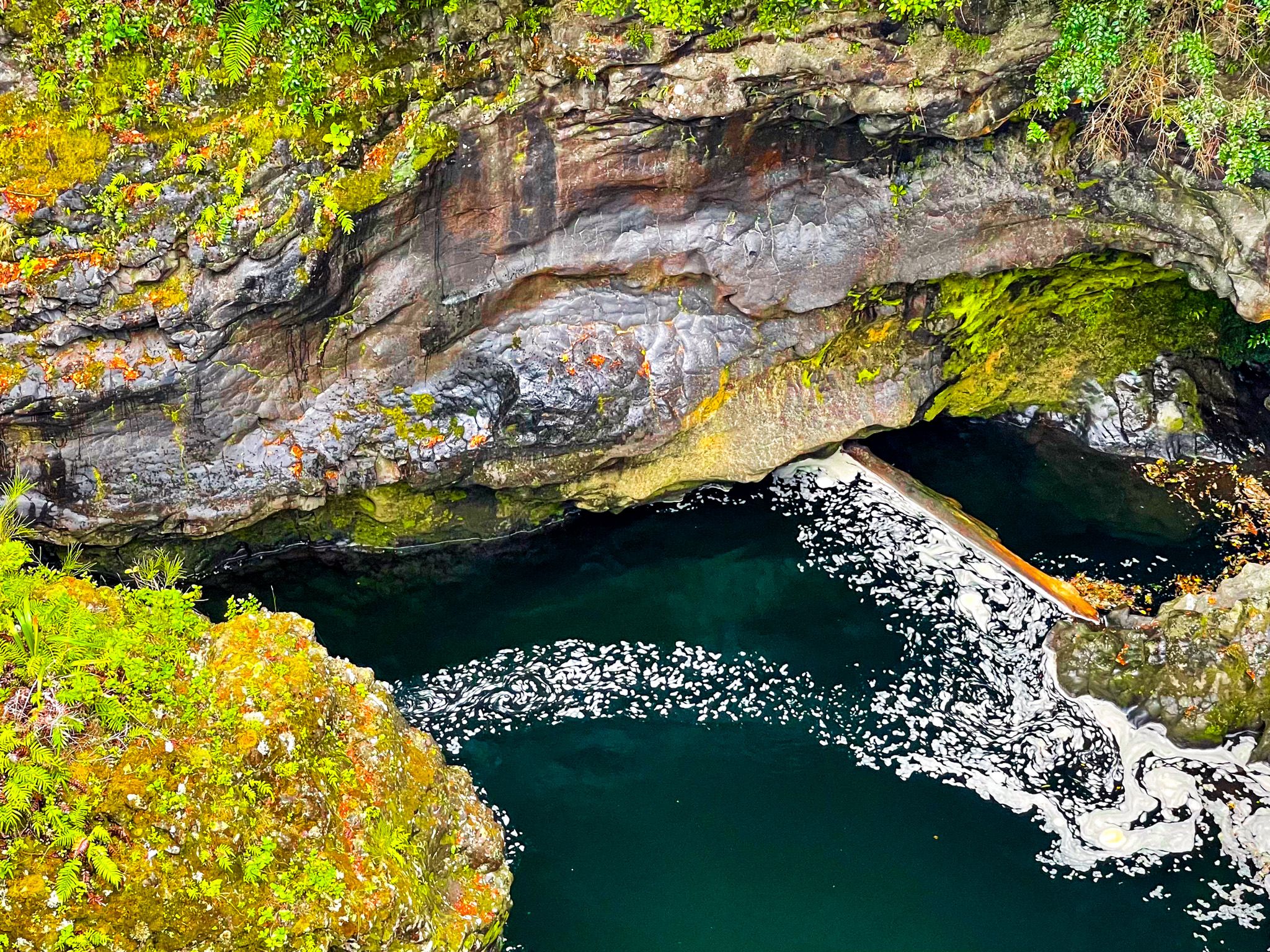
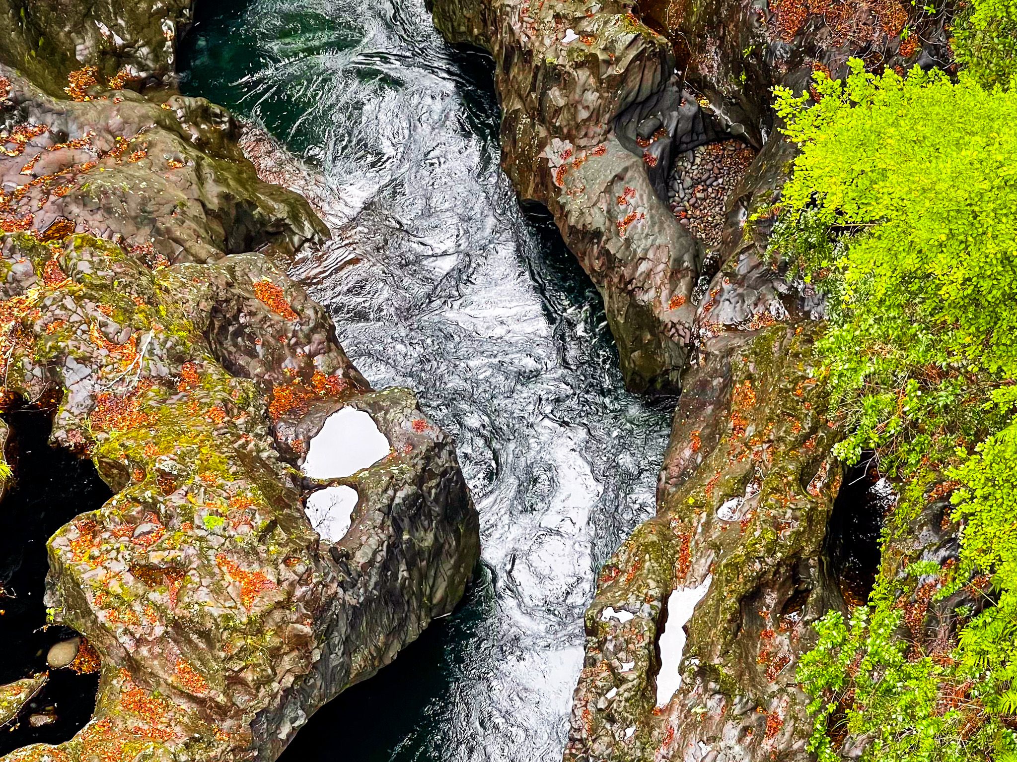
A short walk from Kaimanawa Road leads to a bridge and viewpoints above the falls. The water drops between sheer volcanic cliffs shaped by ancient ignimbrite flows, creating a rugged, echoing amphitheatre. On calm days, the sound of the river fills the surrounding forest.
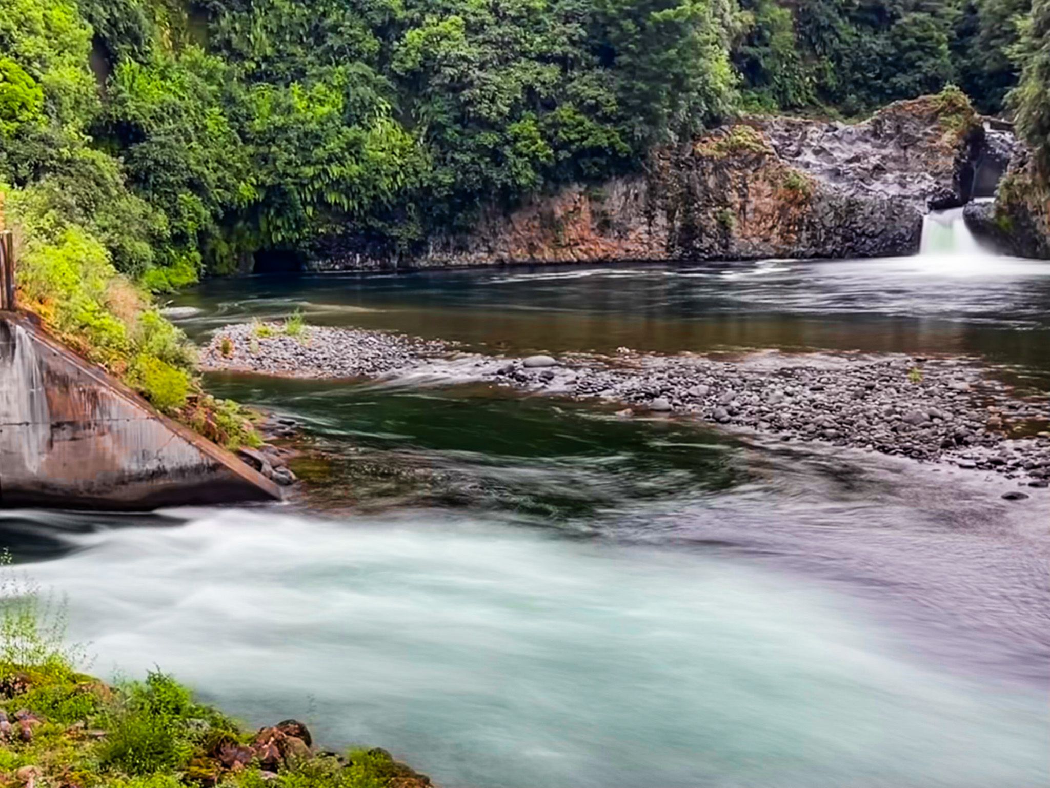
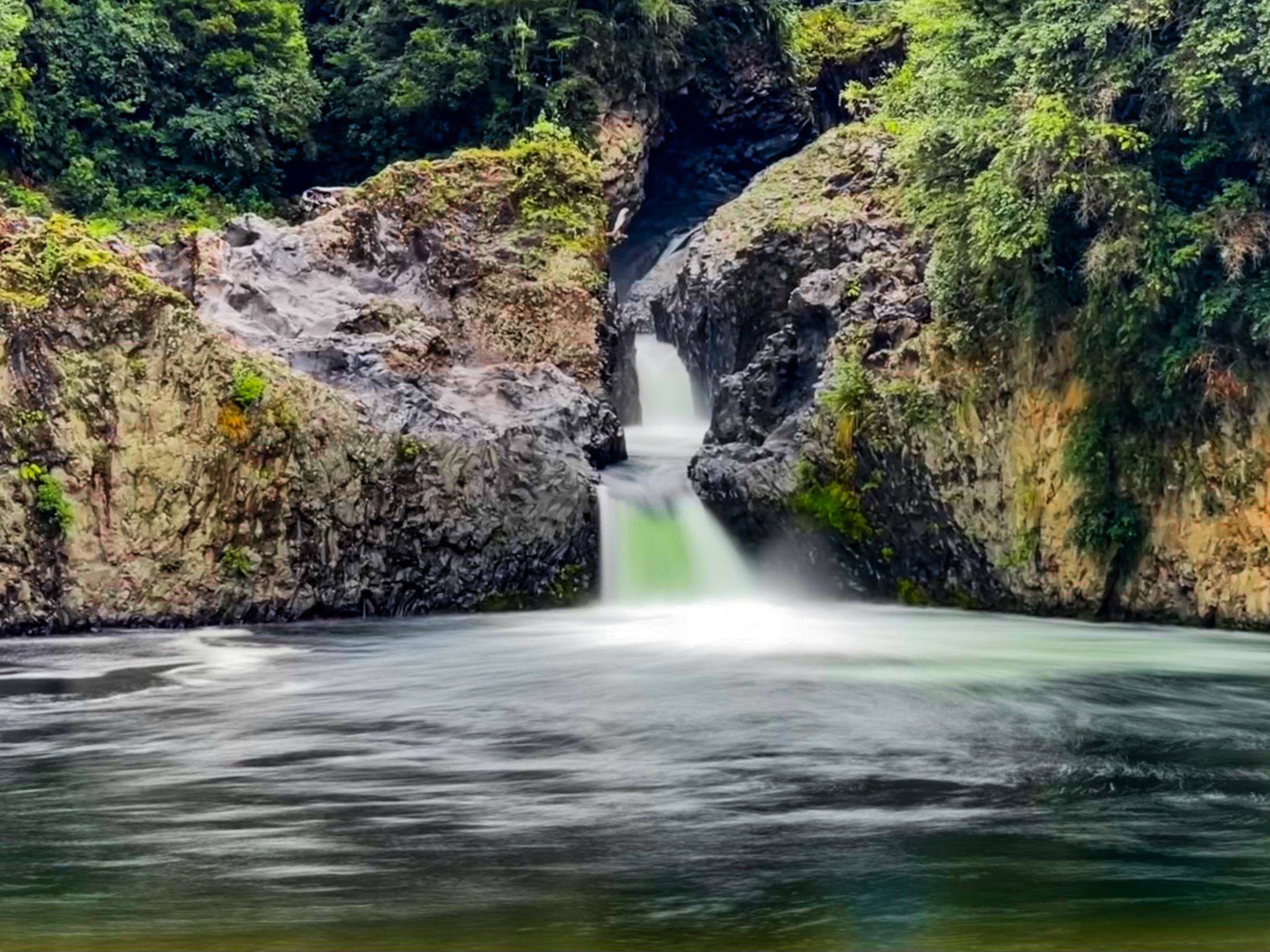
You can also drive down a side road to Beggs Pool and walk along the east side of the pool to the Rangipo Tailrace Tunnel outflow on the Tongariro Power Scheme. From there, you can see the bottom 5 metres of the falls on the far side of the pool.
History and Landscape
The Tongariro River is one of Aotearoa’s best-known trout fisheries but Tongariro actually means “cold south wind”. The word is associated with Māori stories that explain the origins of the volcanoes around the region, particularly Mount Tongariro. Ngatoroirangi, the priest of Arawa waka, climbed to the summit of Tongariro but was overcome by the cold southerly wind. He appealed to his ancestral spirits and sisters, Kuiwai and Haungaroa, who were in Hawaiki, to send fire to warm him, hence the volcanoes.
The name Waikato in this context refers to the “flowing waters” on the Tongariro River, not the Waikato River north of Lake Taupō.
Getting There
From Tūrangi, drive 13 km south on SH1 and turn left onto Kaimanawa Road. Follow the road for about 10 km to the Waikato Falls access area.
Nearby places include Beggs Pool and Dam, Kaimanawa Road Campsite, the Waikoko Campsite, the Pillars of Hercules to Urchin Campsite Track and the Tree Trunk Gorge Track. For a more substantial tramping experience, you can also access the Umukarikari Track and Mt Urchin Trig Track.