Exploring the Tuātapere Scenic Reserve Loop Track
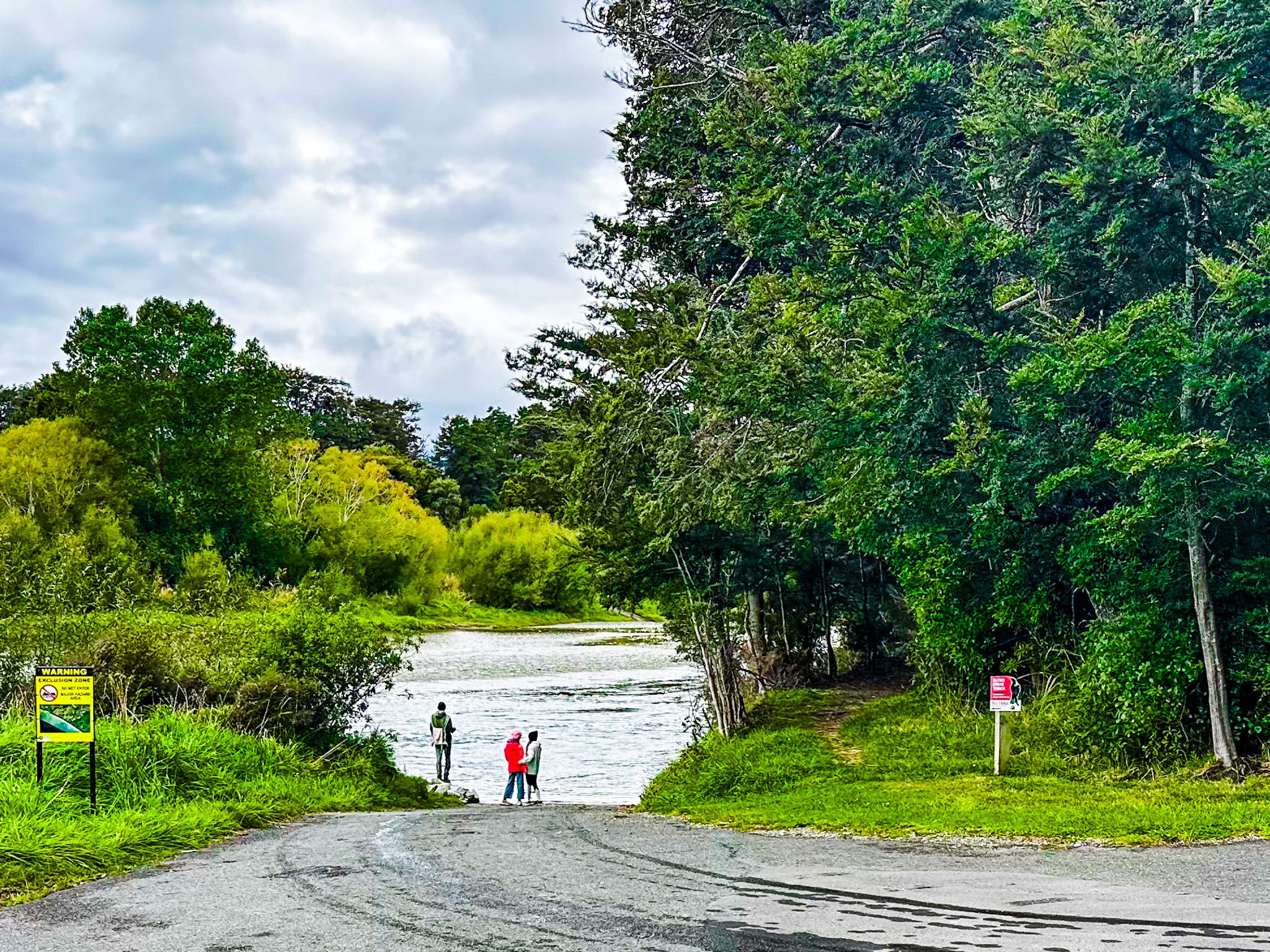
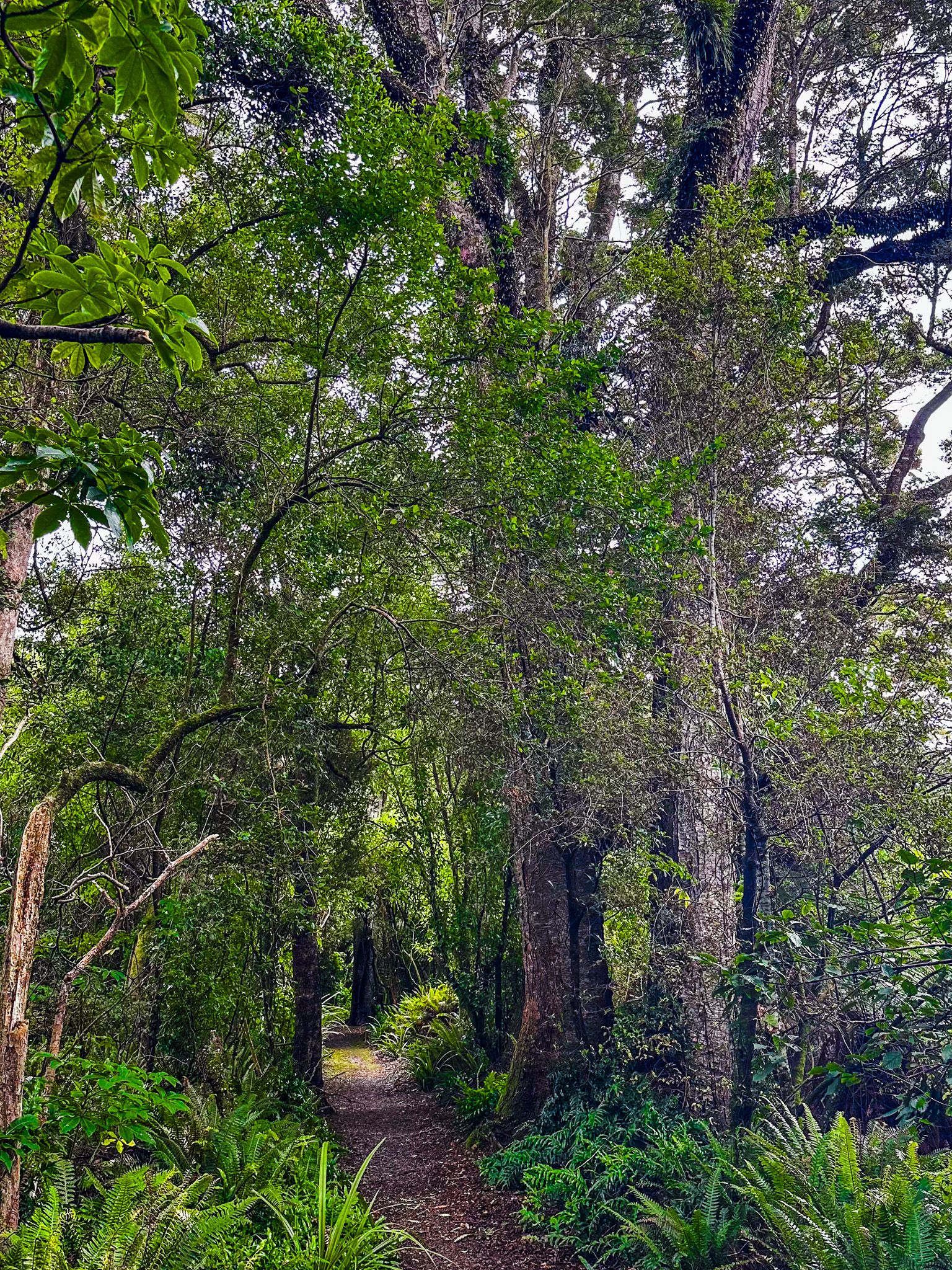
Located in Tuātapere Domain, on the northwest side of the Waiau River in Tuātapere, Southland, the Tuātapere Scenic Reserve Loop Track offers a unique glimpse into New Zealand's natural heritage. This track explores remnants of the ancient podocarp and beech forests that once dominated the Waiau Valley before European settlers converted much of the area to farmland.
A Journey Through Ancient Forests
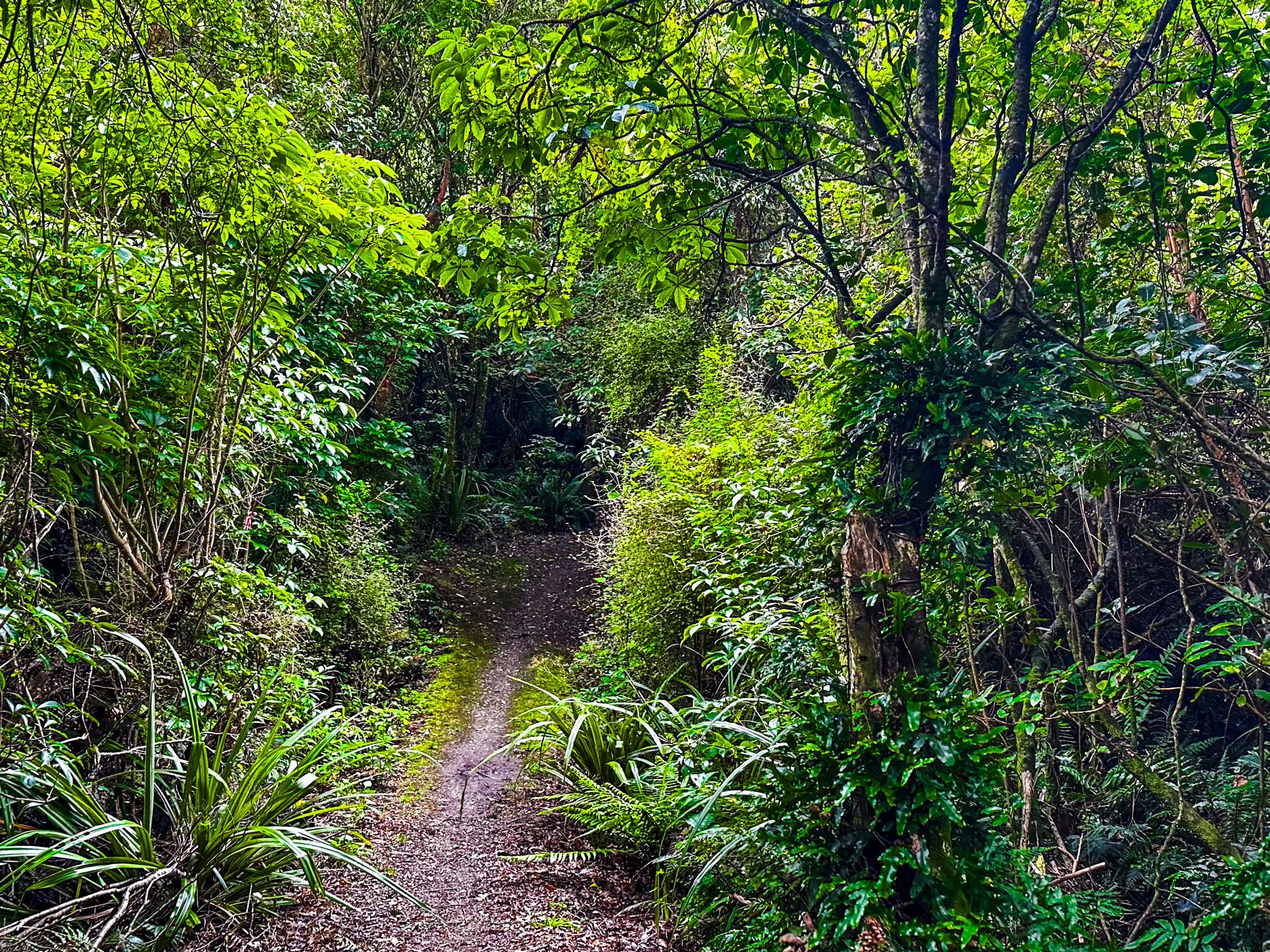
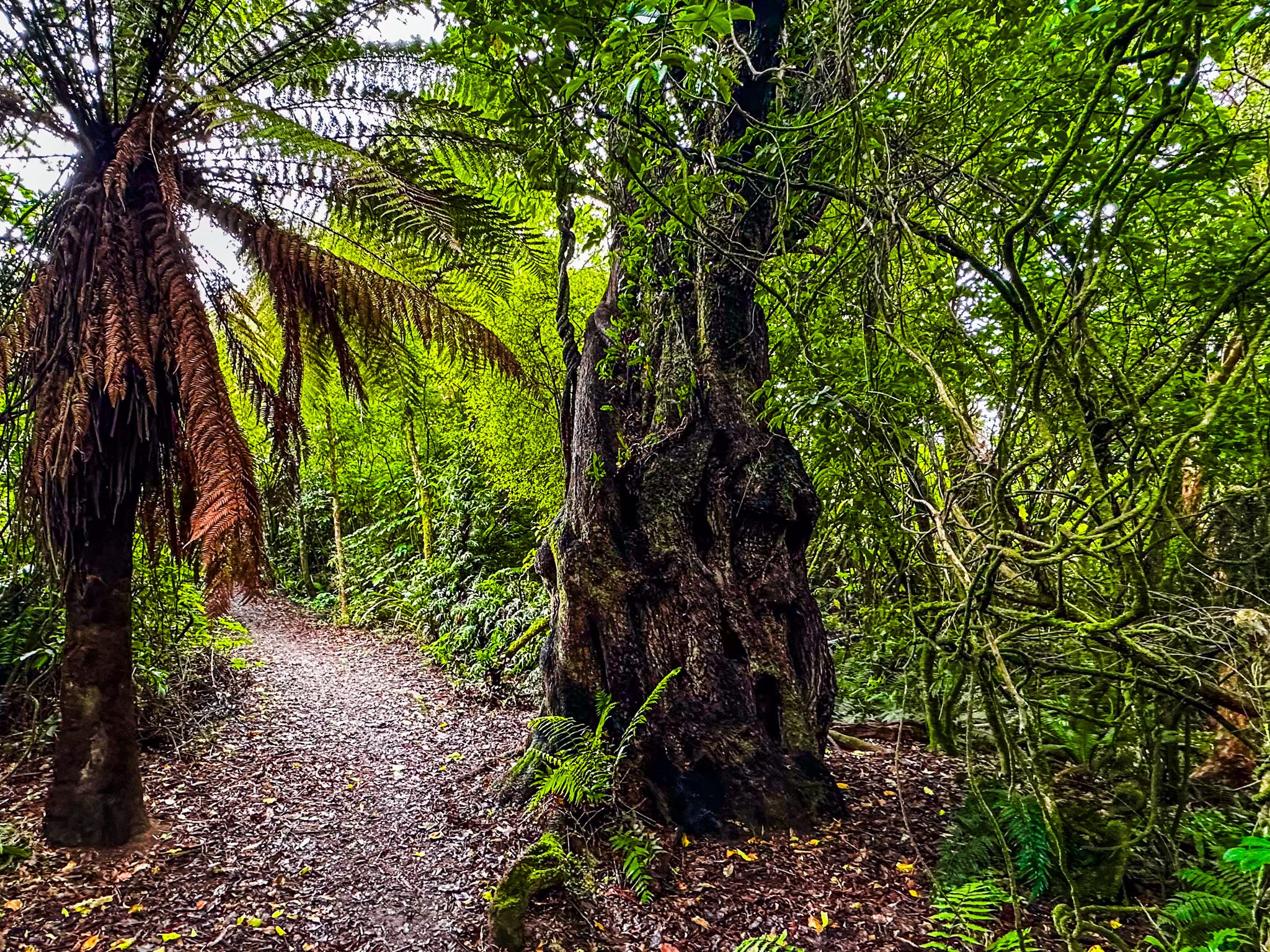
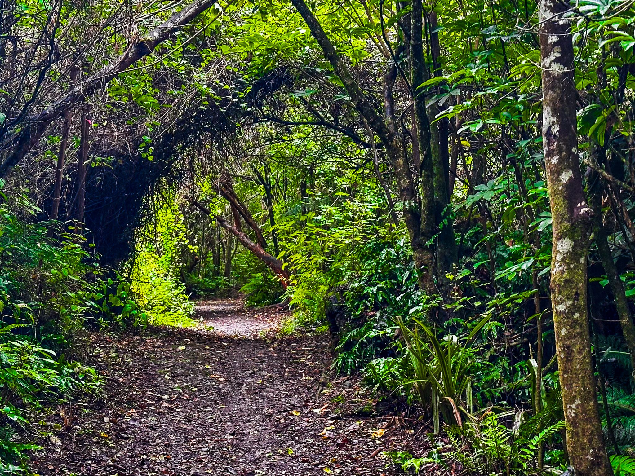
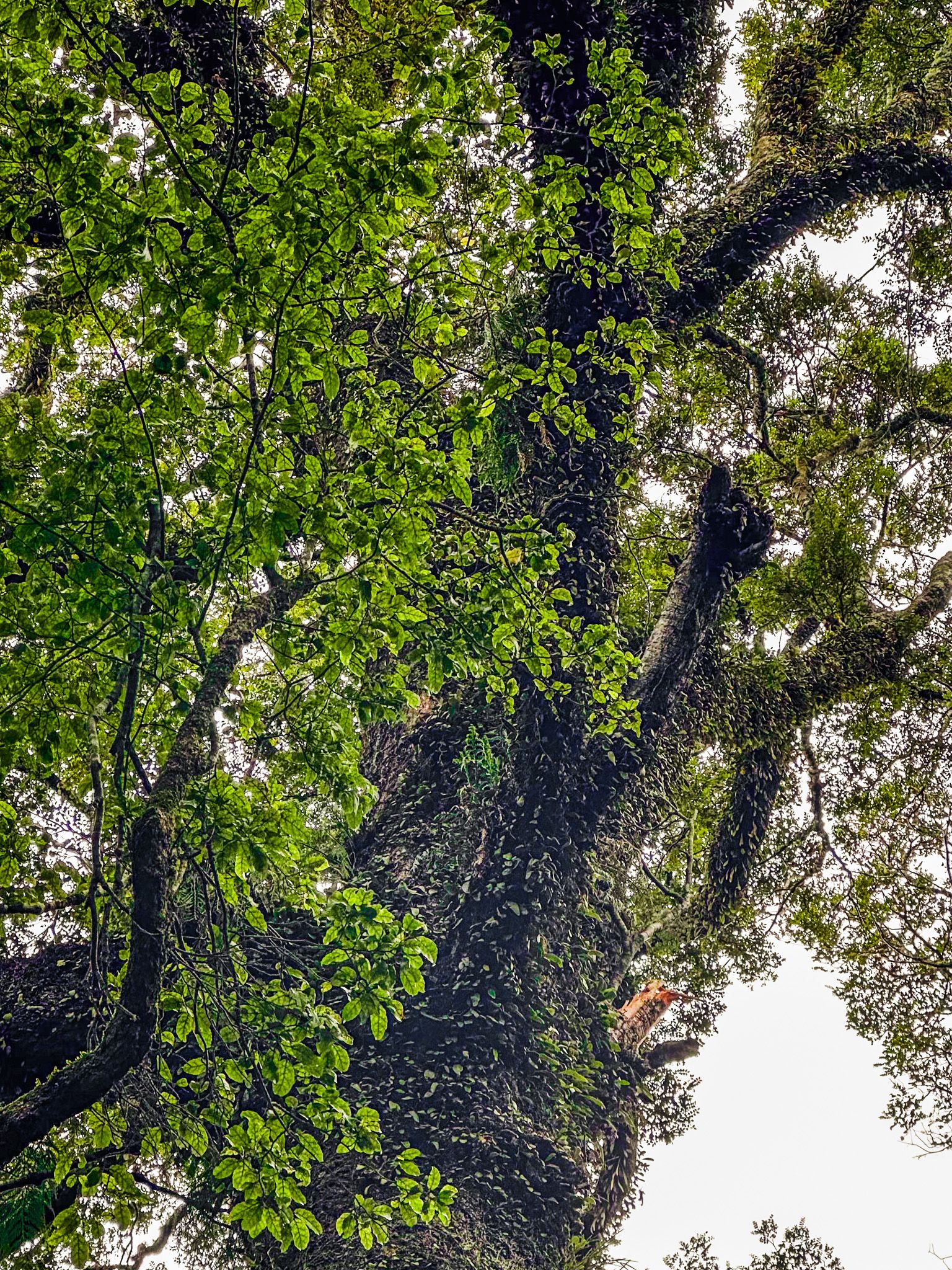
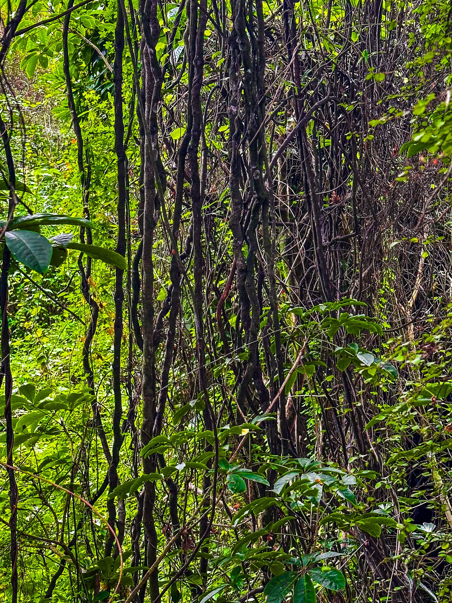
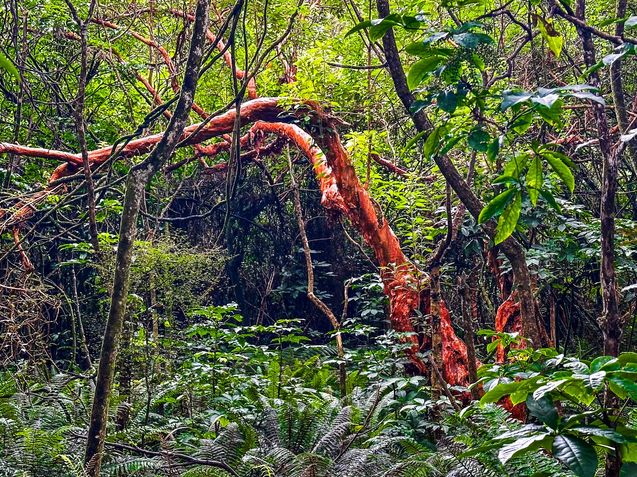
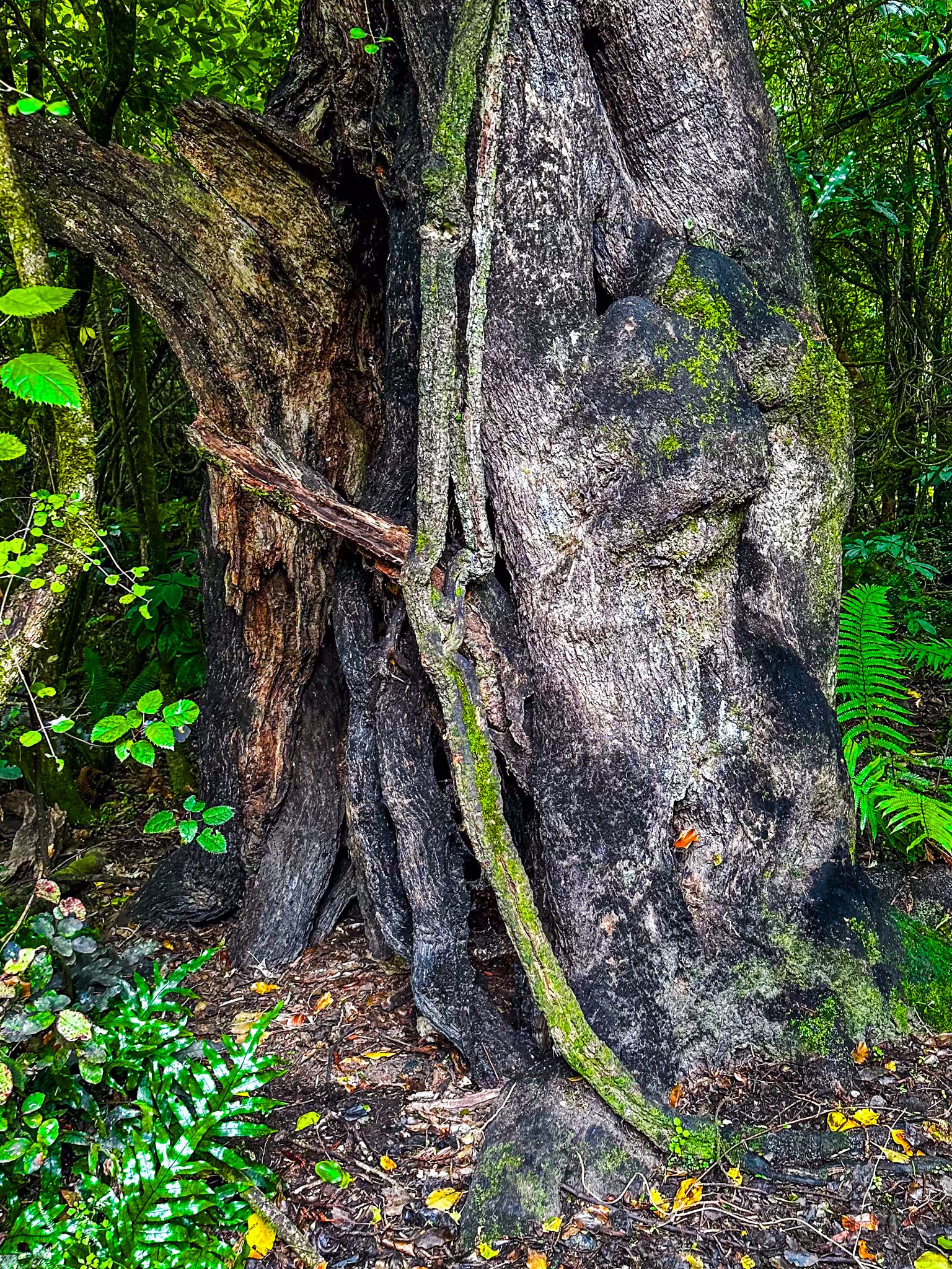
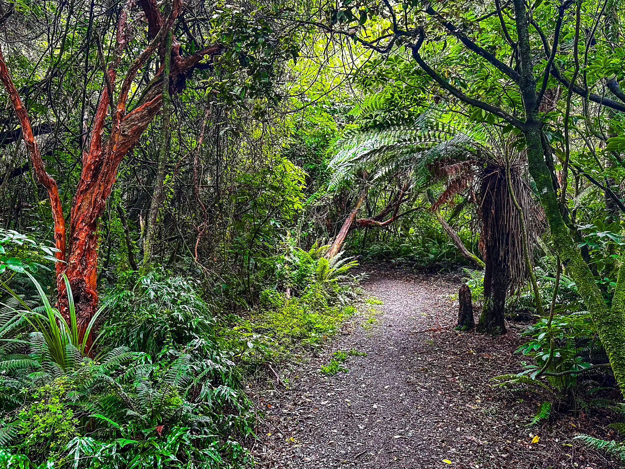
The track begins on the Southern Scenic Route (State Highway 99) and follows the Waiau River. As you walk, you'll encounter a diverse array of native shrubs and trees, including kareao (supplejack), tree ferns, kōtukutuku (tree fuchsia), mātai, and kahikatea. One of the standout features of this walk is a magnificent thousand-year-old tōtara tree, with a diameter of 2.5 metres.
Track Details and Accessibility
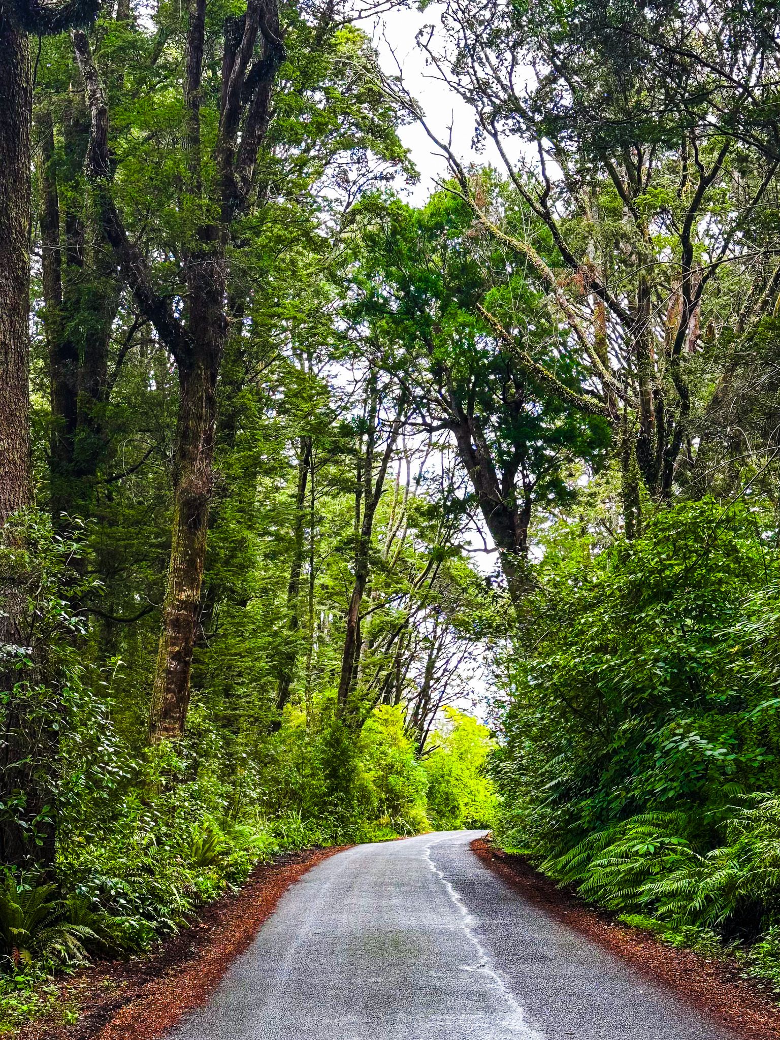
The Tuātapere Scenic Reserve Loop Track is an easy, flat gravel path, making it accessible to visitors of all ages and fitness levels. The loop provides a serene and educational experience, allowing walkers to immerse themselves in the natural beauty and history of the area.
How to Get There
To reach the Tuātapere Scenic Reserve Loop Track, head to Tuātapere Domain, located on the northwest side of the Waiau River. The track begins at the Southern Scenic Route (State Highway 99). Alternatively, you can access the reserve and track from the highway via Elder Drive.
Tuātapere is also the gateway to Bluecliffs Beach on the west side of Te Waewae Bay and the Hump Ridge Track. Heading to the east side of the bay takes you to fabulous Gemstone Beach.