Discover Te Ara Tirohanga and the Remutaka Trig
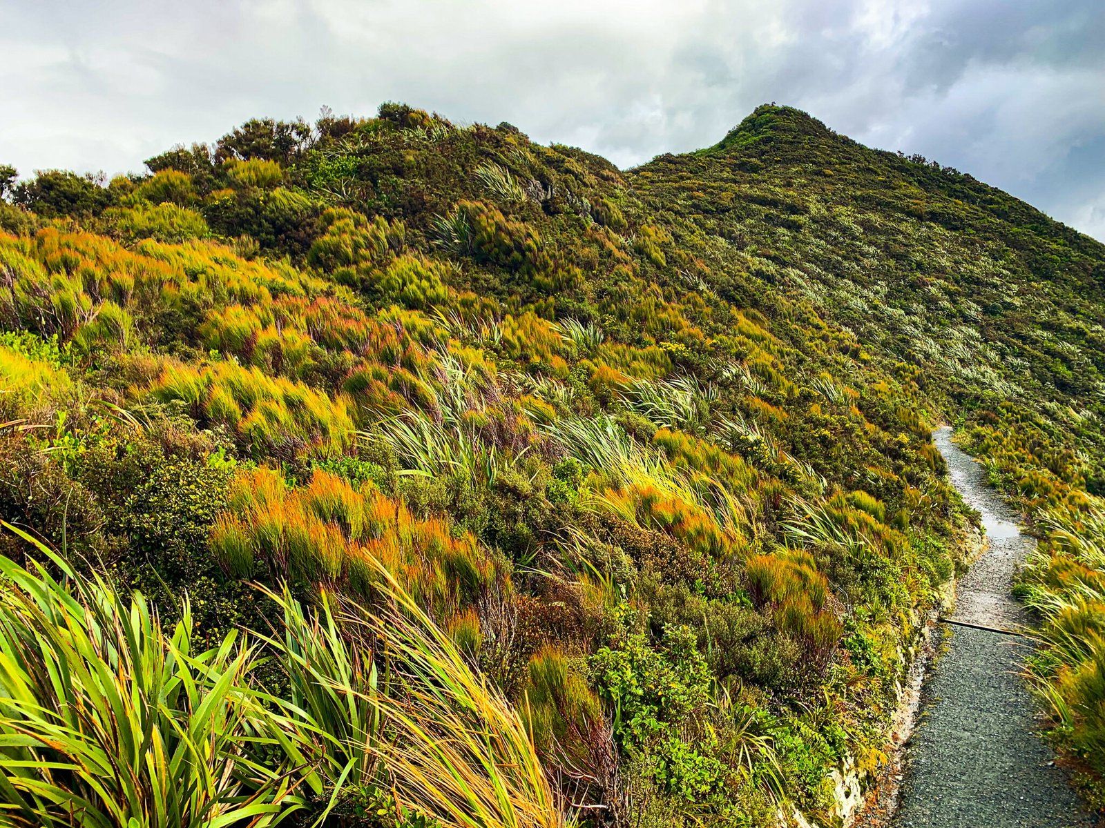
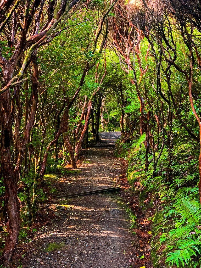
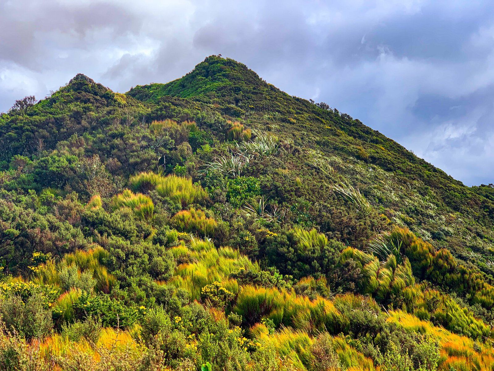
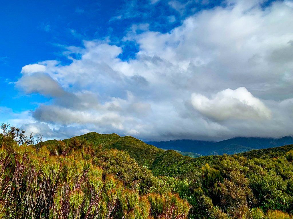
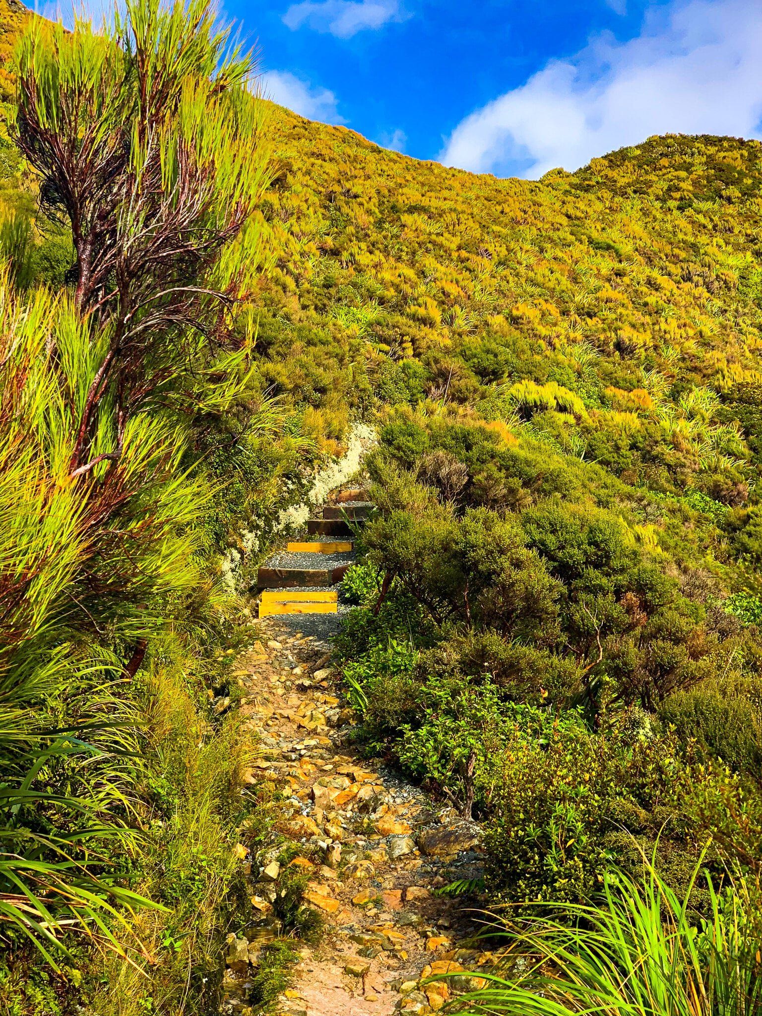
Te Ara Tirohanga offers a challenging hike up to the Remutaka Trig, located in the Remutaka Range between the Hutt Valley and Featherston. This steep track rewards hikers with panoramic views of the surrounding valleys. The trail winds through regenerating native forest, providing a scenic and invigorating outdoor experience.
Hiking the Track
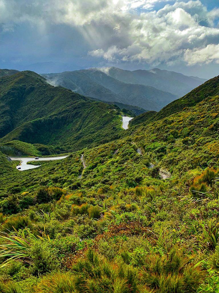
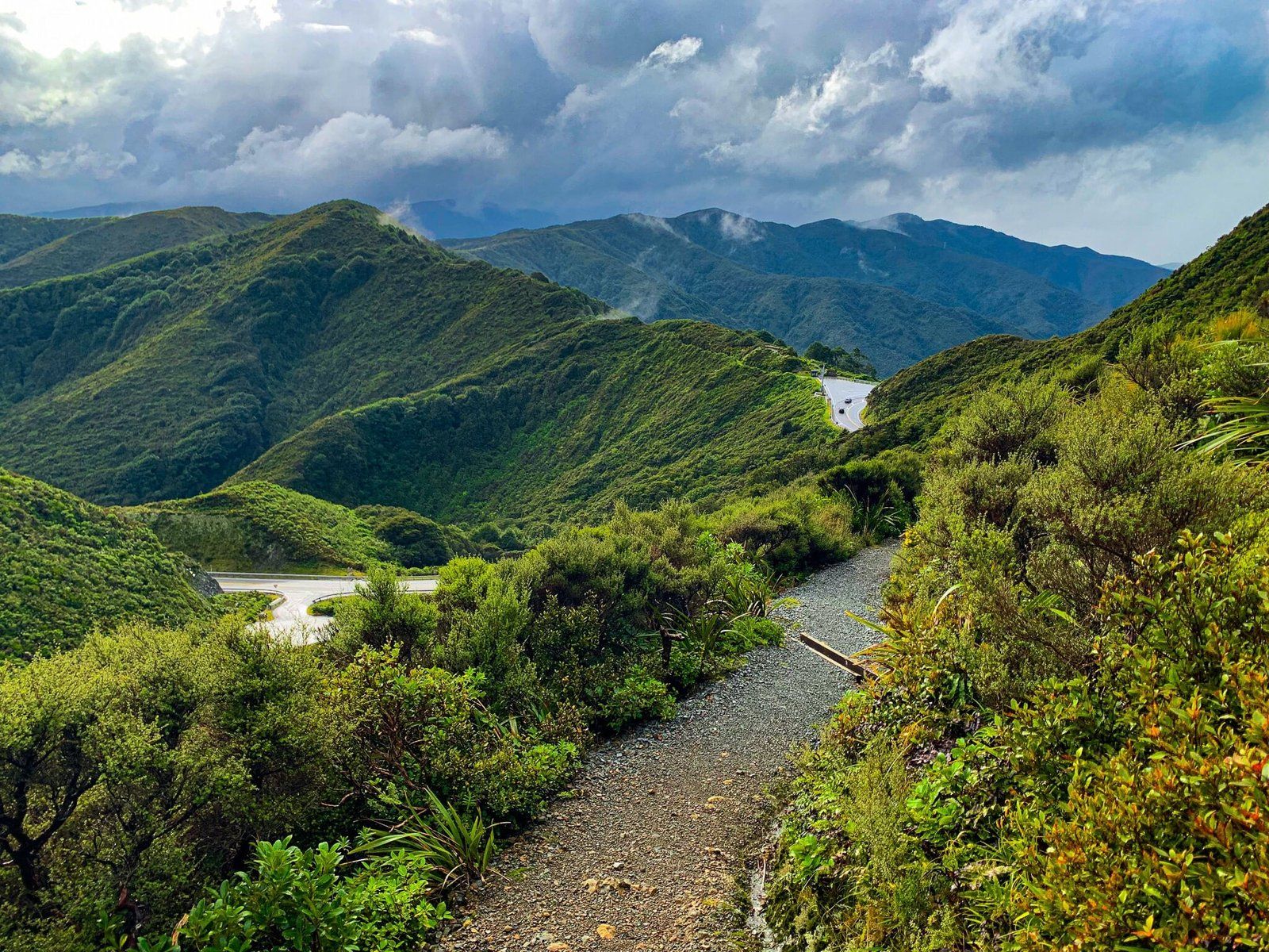
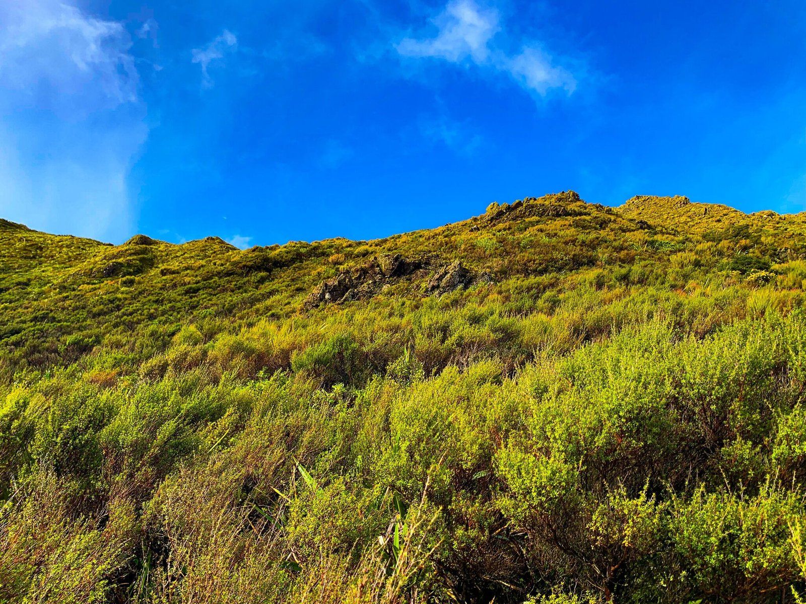
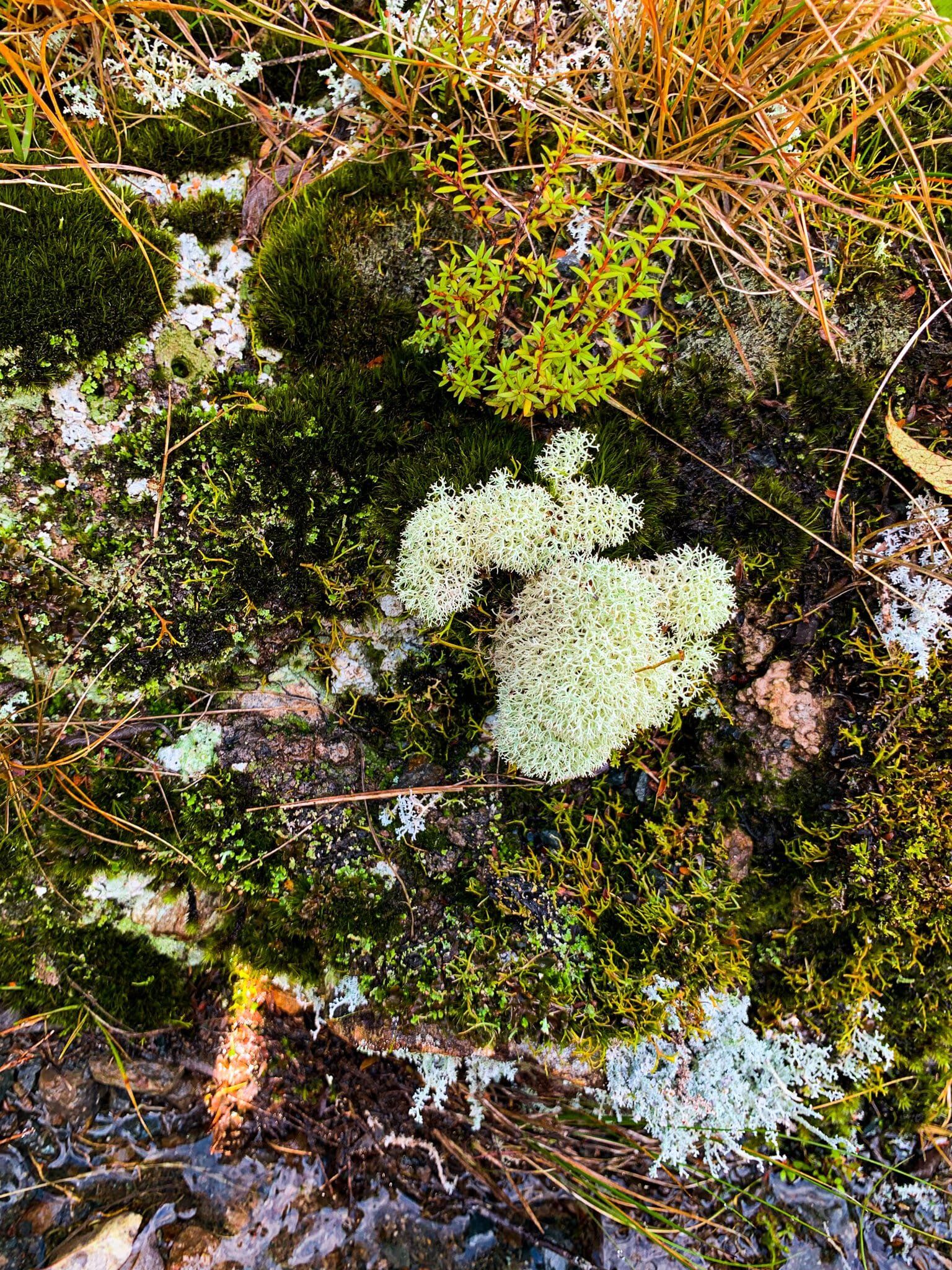
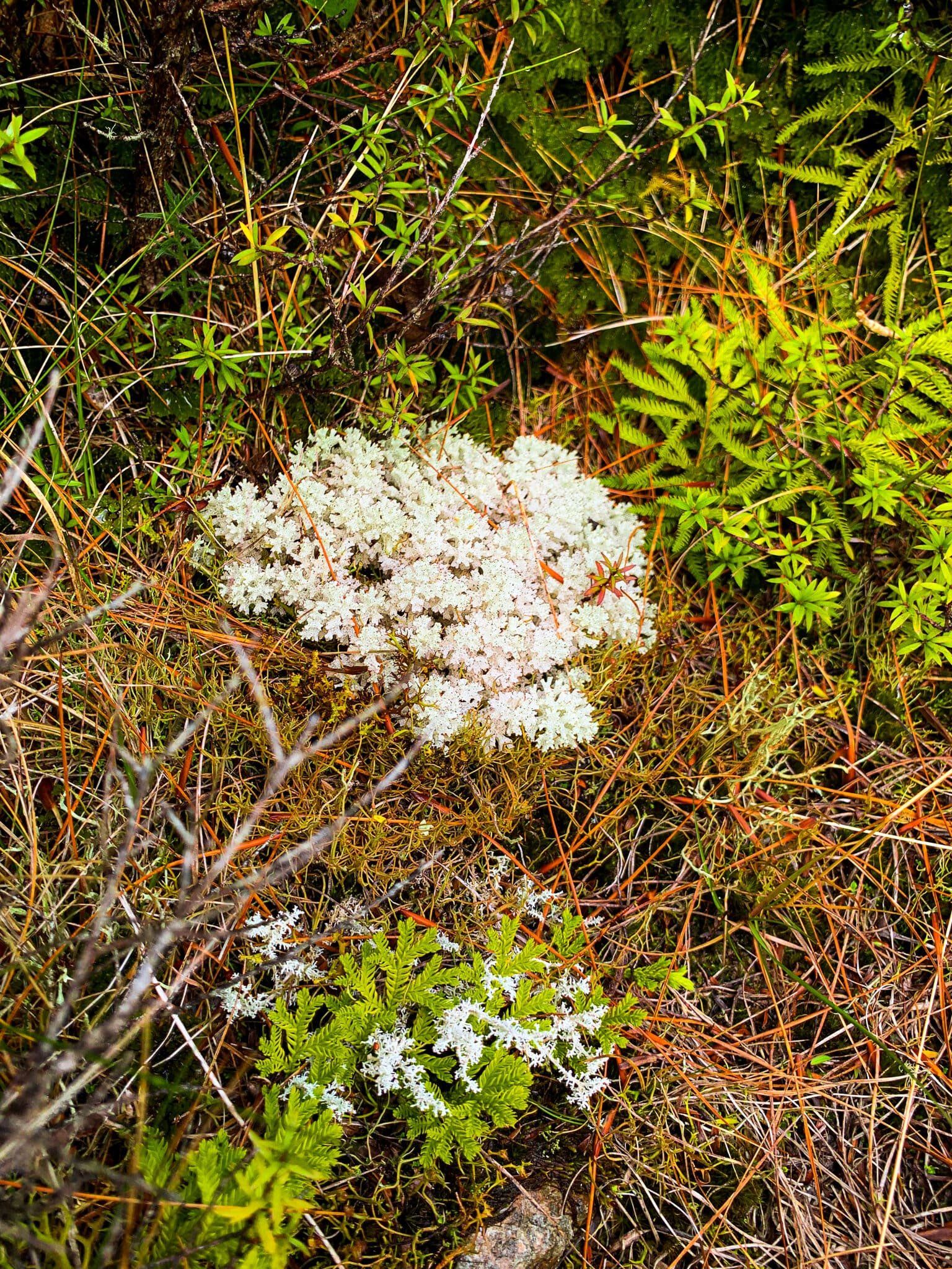
The hike to the top of Te Ara Tirohanga takes approximately half an hour, but due to its steepness, it's wise to allocate an hour for the journey. The track is exposed and can become quite windy, especially at higher elevations, so it's best to avoid hiking in bad weather. In favourable conditions, the summit offers expansive views in all directions. Even on cloudy days, the area is captivating, with a rich display of mosses, lichens, and native birdlife.
Access and Parking
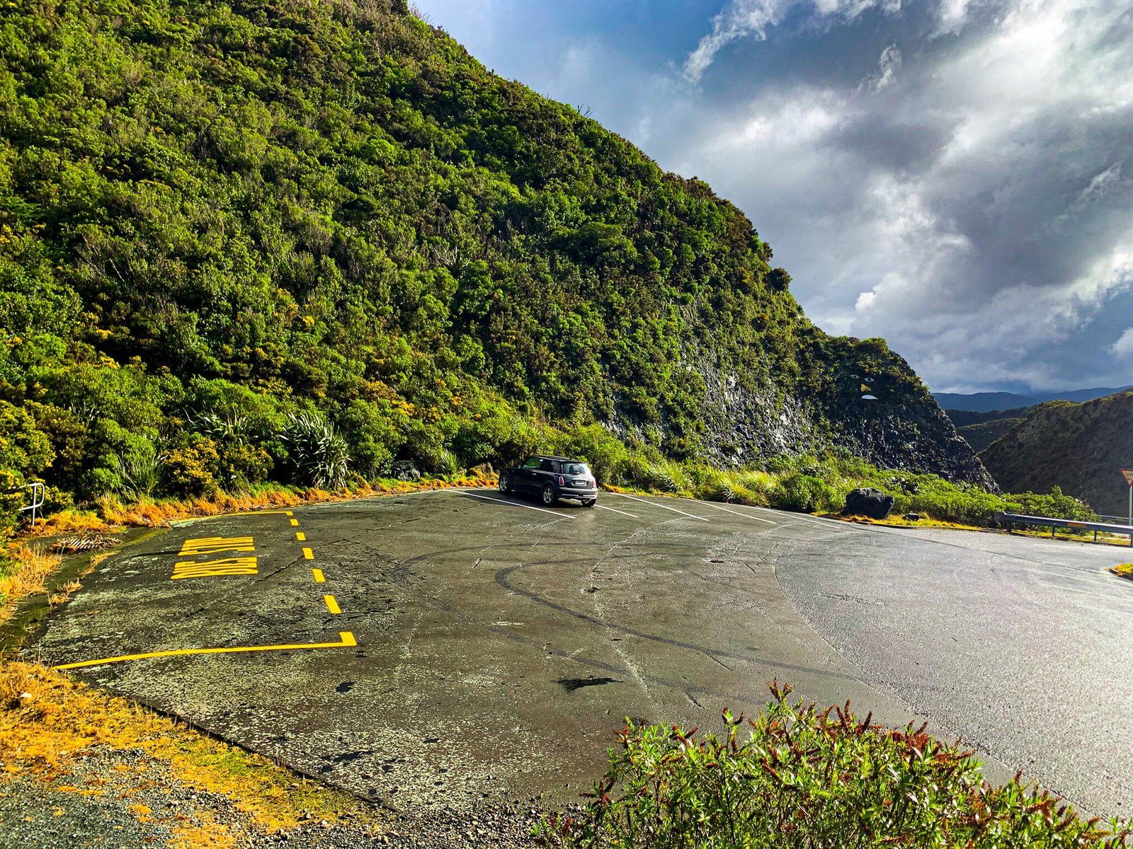
Te Ara Tirohanga is accessed from State Highway 2, which traverses the Remutaka Range. As you travel east towards Wairarapa, look to your right for the large car park bay near where the highway crosses the range. Although the track is not well signposted, the car park is visible from both directions.
How to Get There
To reach the start of Te Ara Tirohanga, drive along State Highway 2 over the Remutaka Range from the Hutt Valley in Wellington to the south or Featherston to the north. The car park is located close to where the highway crosses the range, and you can spot it on your right when heading east towards Wairarapa.
If time is limited, consider stopping at the nearby Remutaka Lookout for a quick view of the landscape. You can also explore the ranges on the Remutaka Rail Trail, then take time out in Martinborough with its wineries and cafes.