Explore Taieri Mouth
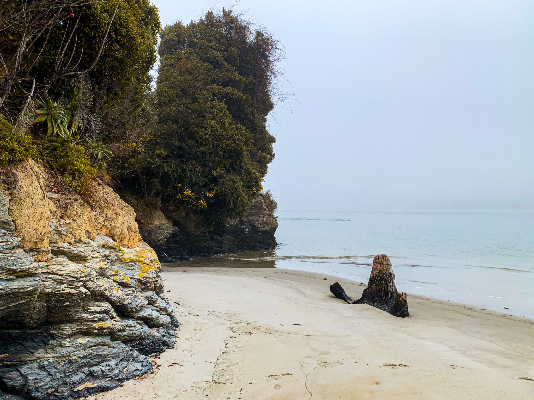
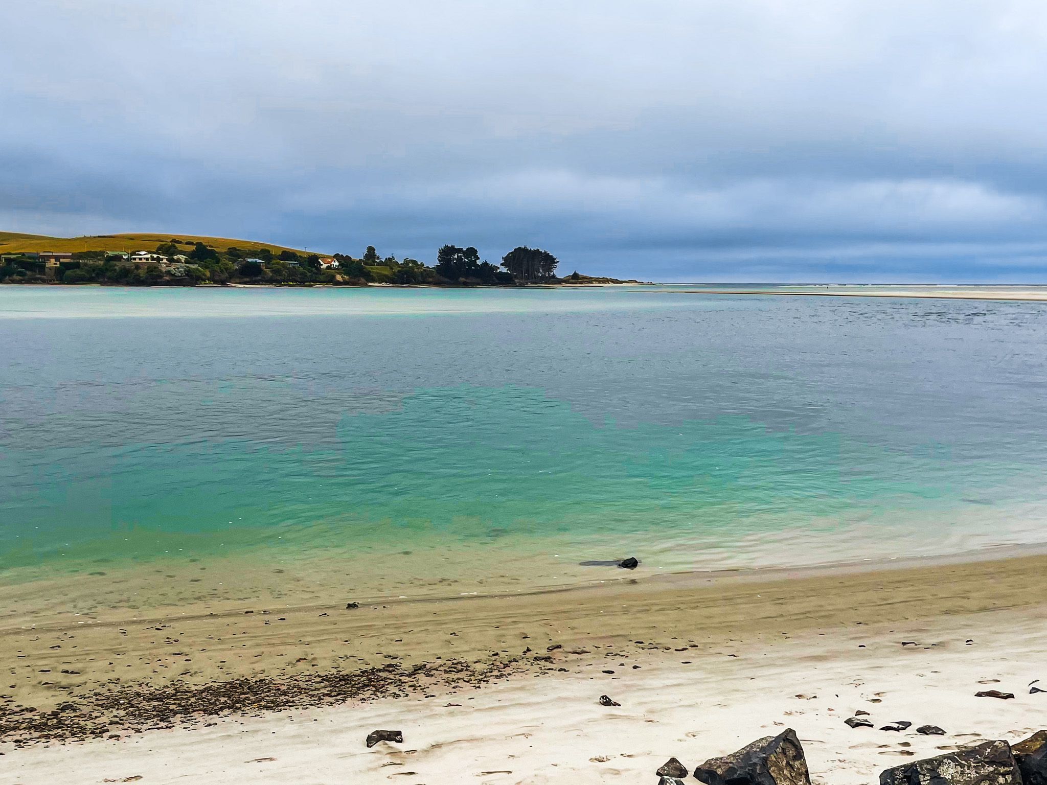
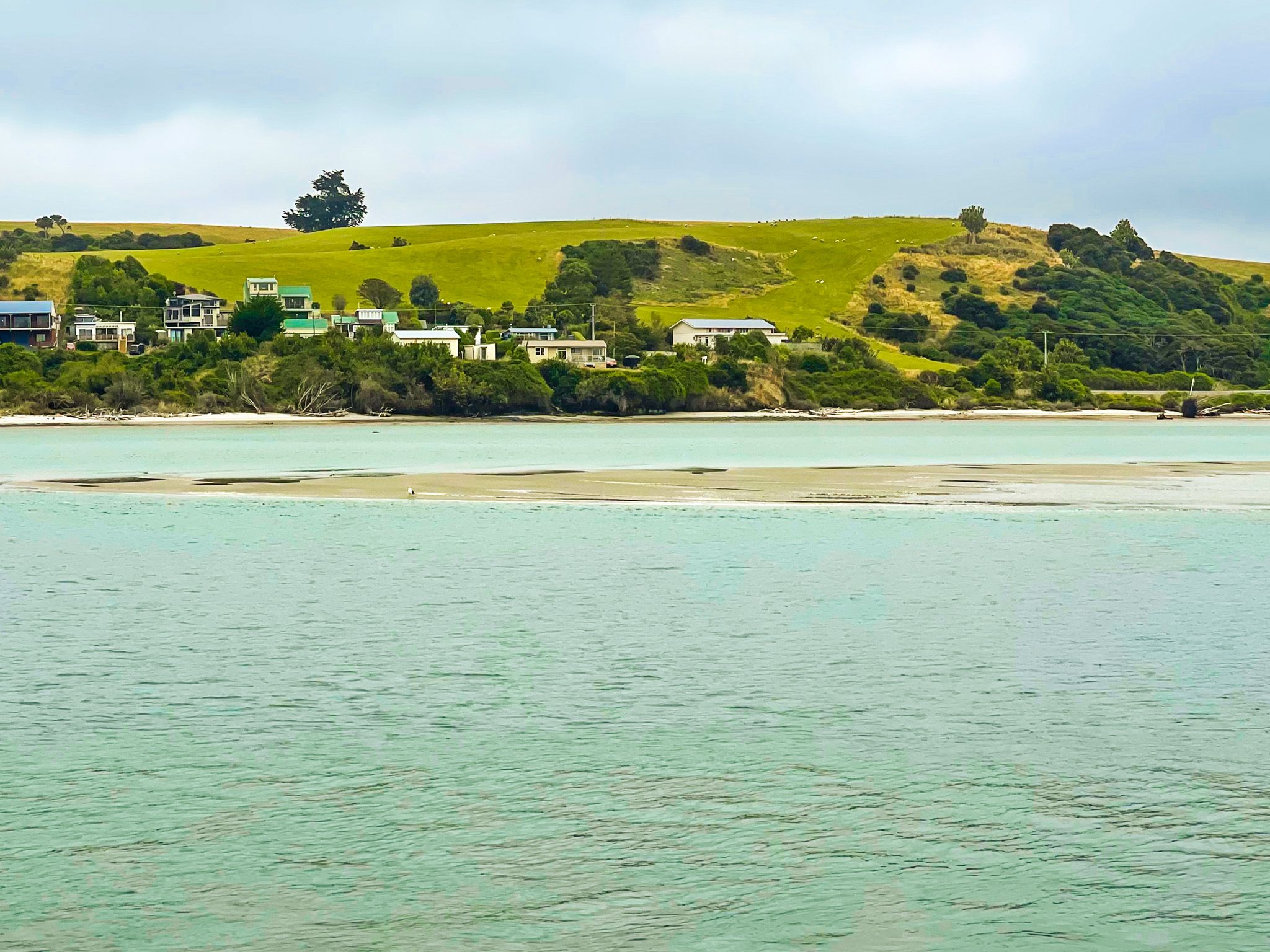
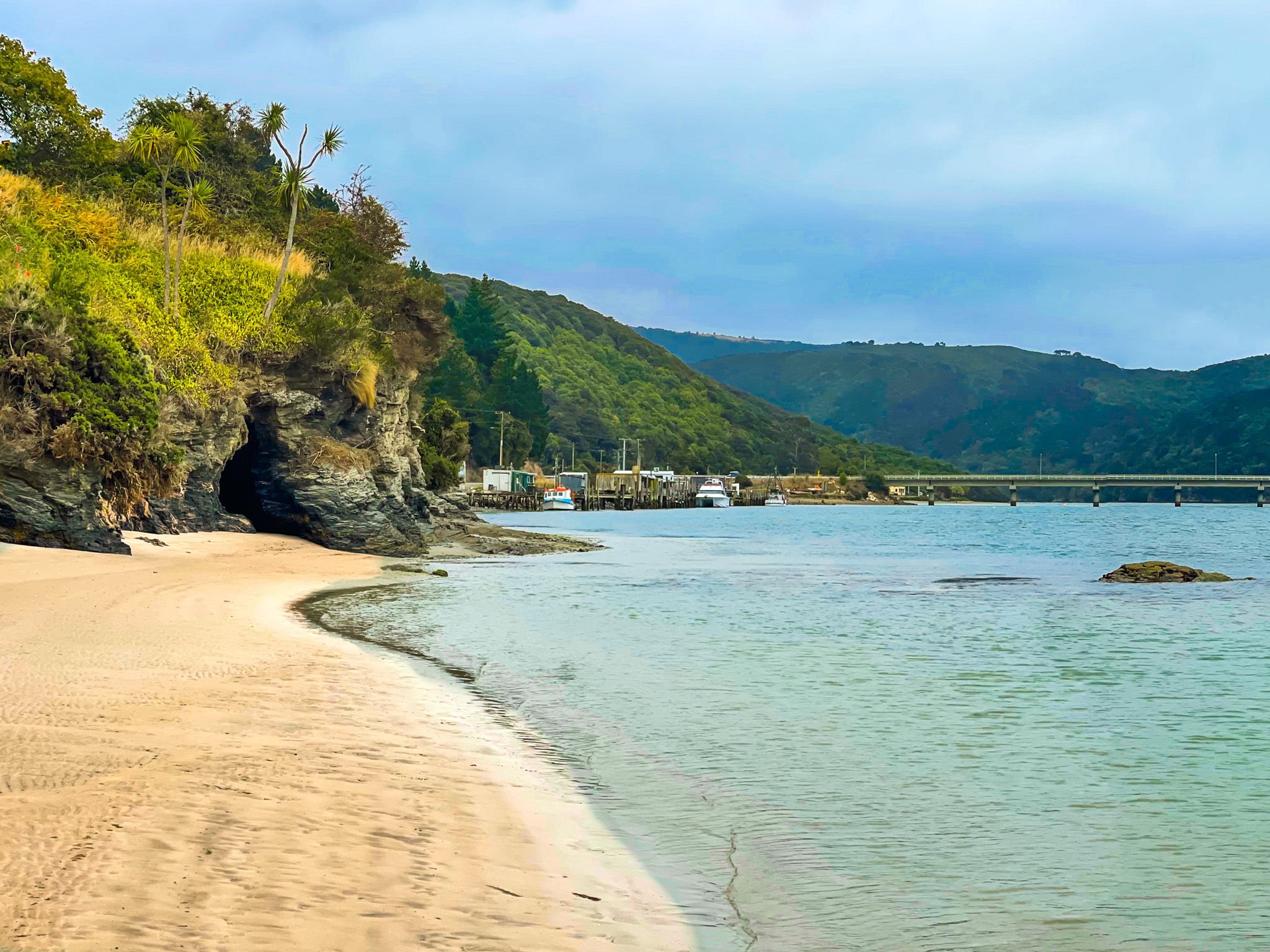
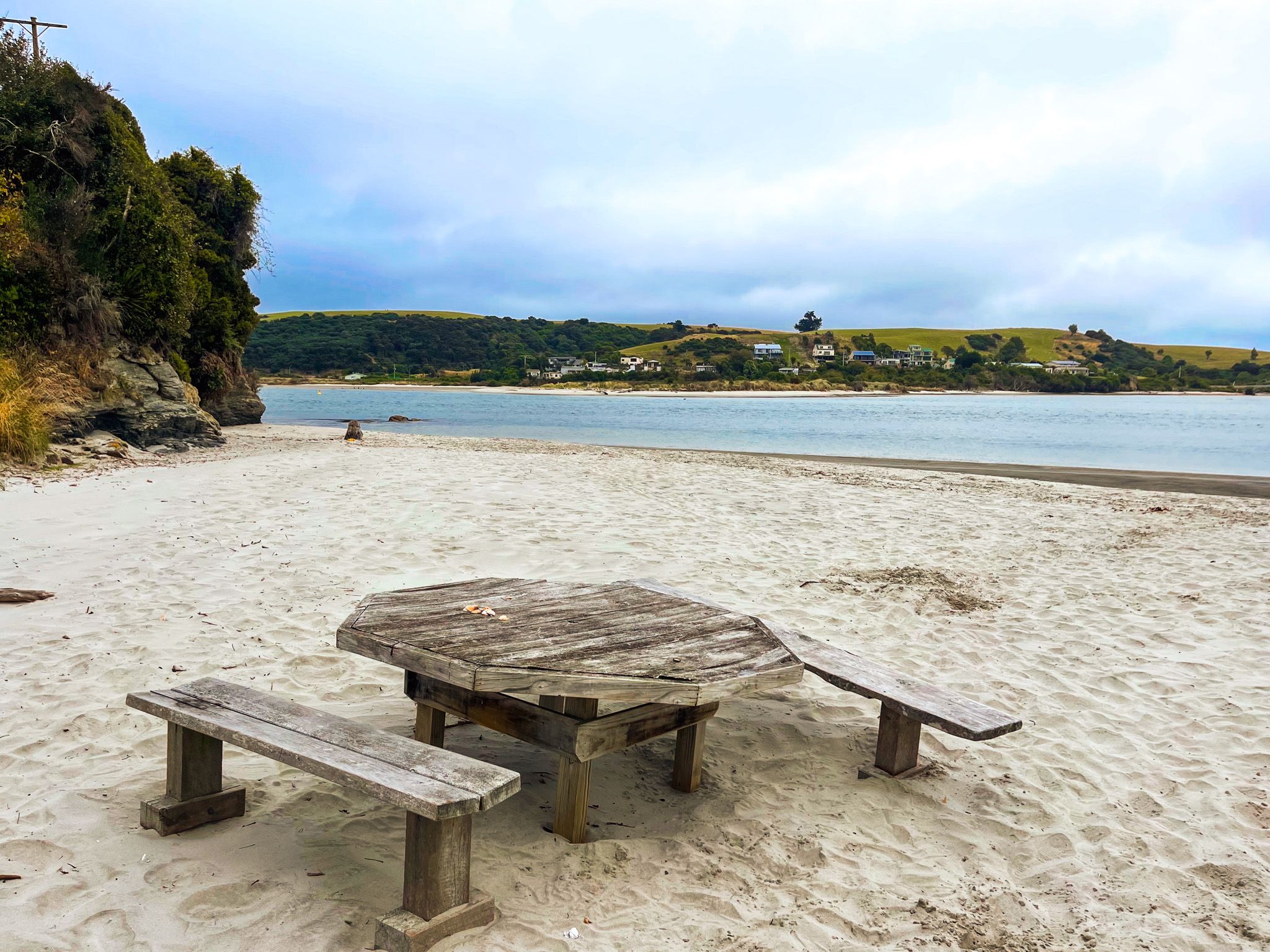
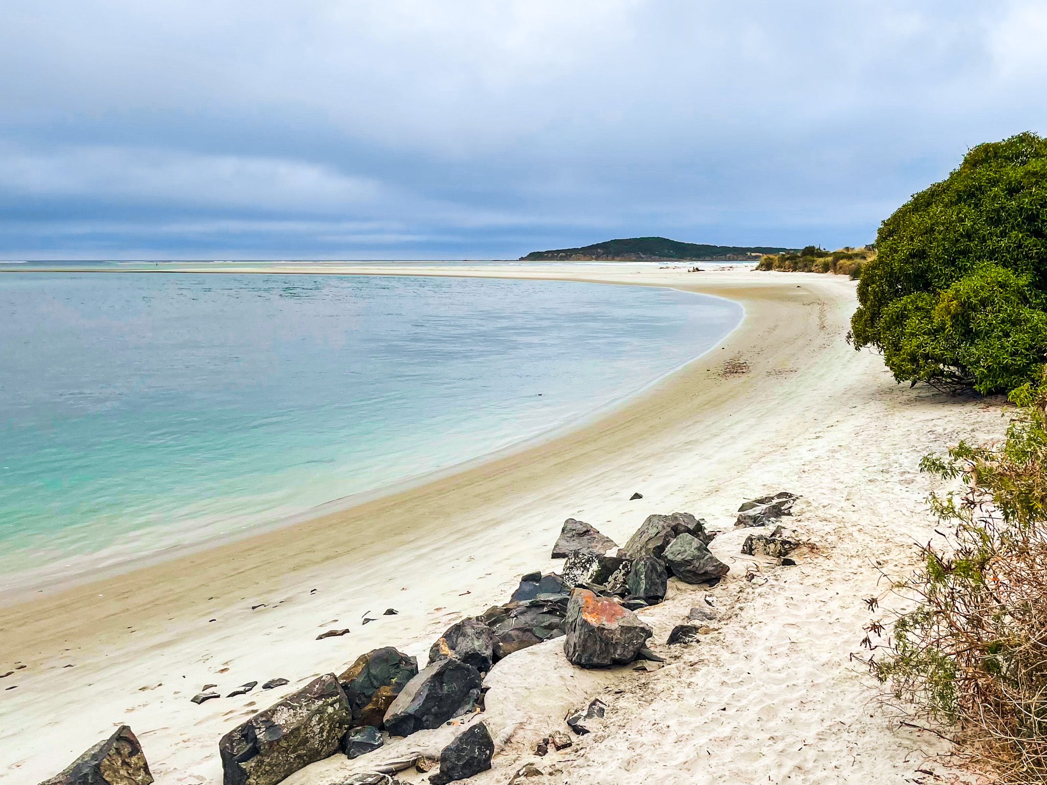
Taieri Mouth is a small fishing village 40 km southwest of Dunedin, where the Taieri River meets the Pacific Ocean. With its sandy beach, estuary, and offshore island, it’s both a peaceful holiday spot and a place of historic importance. Forested hills frame the small village. In addition to the white sand beach, you can explore the river gorge on the Taieri River Track and walk to distinctive Moturata Island (also Taieri Island) at the end of the river mouth at low tide. Boating is also popular in the estuary, while the beach is a safe place for swimming and family picnics.
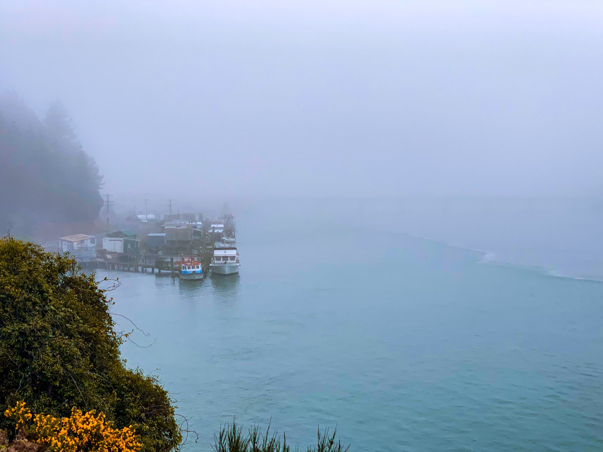
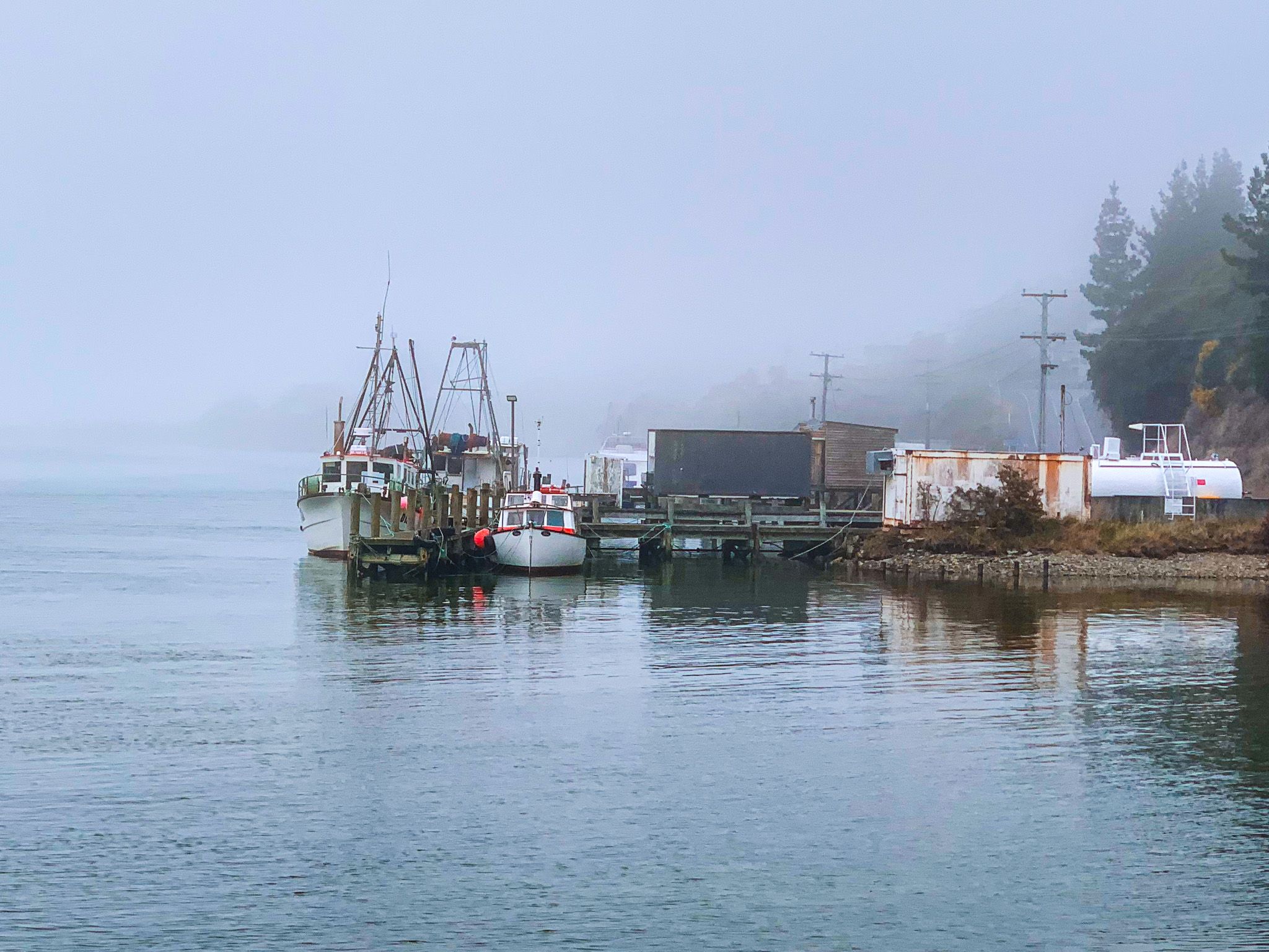
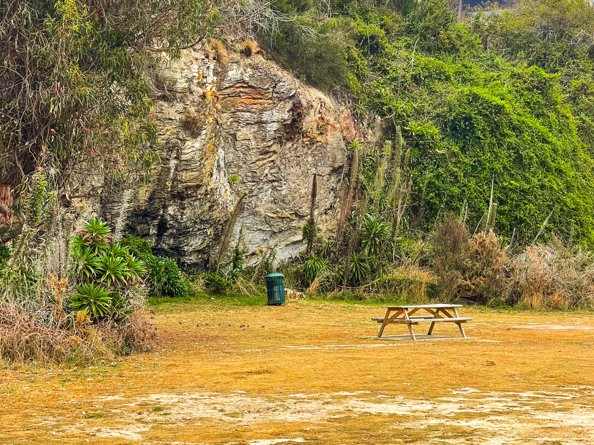
The fishing wharf and main beach, including a reserve with self-contained freedom camping, are on the south side of the river mouth. The Taieri River Track starts at the end of Riverside Road on the west bank of the river. The track follows the river through a gorge and provides a scenic bush walk with river views. Allow about 4 hours for the 8 km return track.
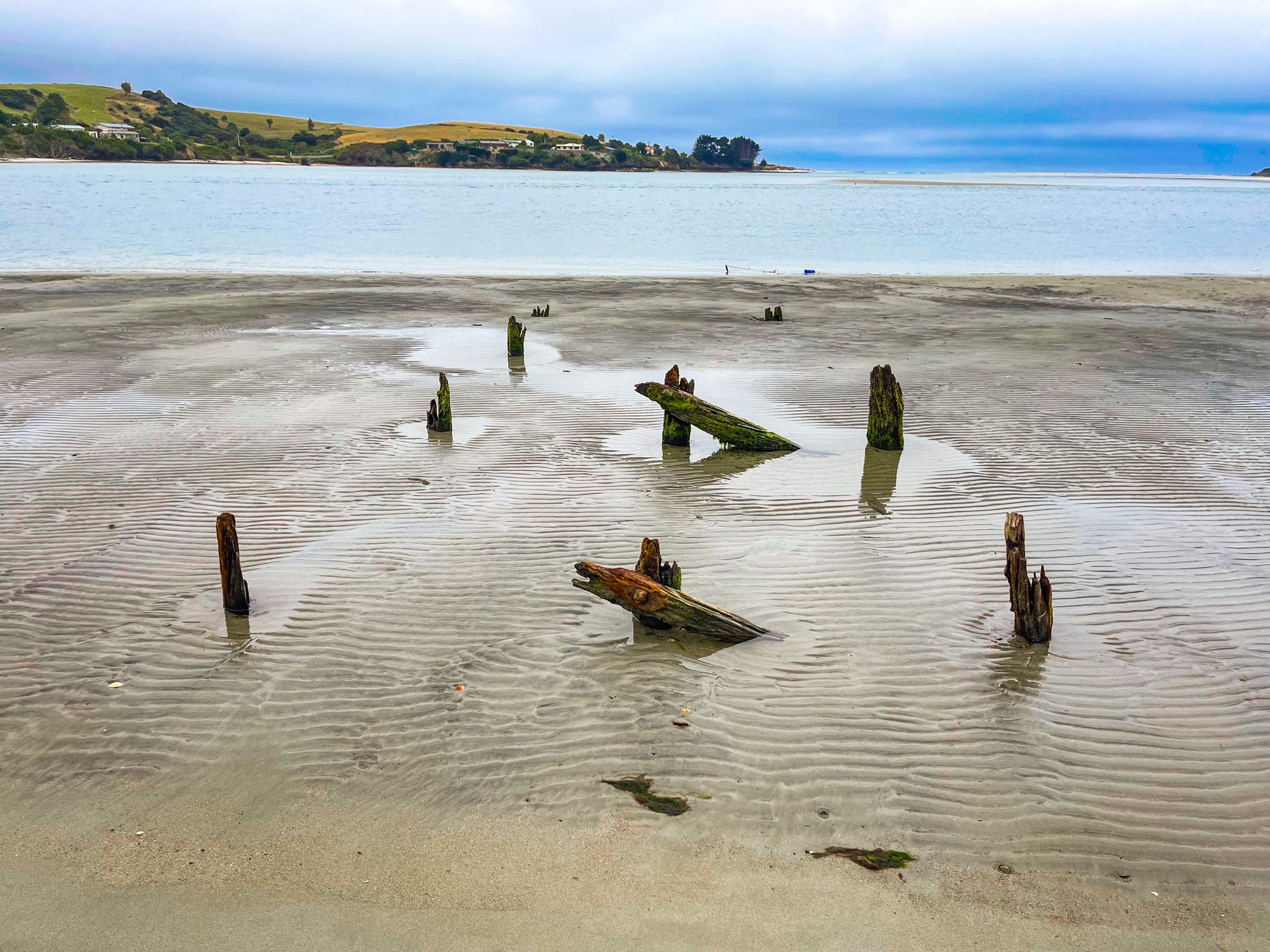
At low tide, it’s possible to walk across the sand to Moturata Island. The island is a nature reserve and is home to many protected seabirds, including the yellow-eyed penguin.
Māori and European History
The area has a long history of Māori occupation. Moturata Island and the river mouth were important fishing grounds, with archaeological evidence of moa bones and settlement (pre-1600). A small settlement was reportedly still there as late as the 1850s.
It is also believed that a pā was located there in the 1700s, from a story associated with the tragic love of Korokowhiti and Haki Te Kura. There are at least two variations of the story, but in both, Haki Te Kura attempts to leap into Korokowhiti’s waka from a cliff on the Taieri River, misjudging and being dashed to death. Topo Map marks a location on the river as Māori Leap, but it is unclear if this is related to the story. Here you can find version one and version two of the story.
With the arrival of Europeans, Taieri Mouth became known for fishing and river trade. Moturata Island became the site of a whaling station in the 1830s and 40s. One colourful character was John Bull (John Edward O’Neil), the “Hermit of Taieri Mouth,” a former whaler who lived alone by the river. His name was given to John Bull Gully at the north end of the Taieri River Track.
How to Get There
From central Dunedin, it is a 40-minute drive to Taieri Mouth. Take State Highway 1 south, then the off-ramp for Brighton Road to Brighton. The road continues south along the coast to Taieri Mouth. The road is sealed and offers striking coastal views, as well as access to unnamed beaches. Taieri Mouth is also accessible from Lake Waihola on State Highway 1 on Finlayson Road.
The nearest coastal settlement to the north of Taieri Mouth is Brighton. Inland, Lake Waihola is a shallow coastal lake well known for birdwatching and boating. On the north side of the lake are the fascinating Sinclair Wetlands. Further south down the coast are the remote locations of Toko Mouth and Measly Beach.