Southshore in Christchurch
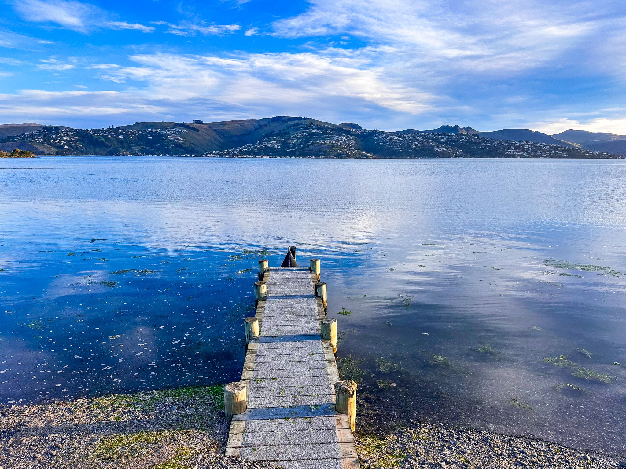
Southshore, also known as Te Kōrero Karoro, is a coastal suburb and reserve in Christchurch. Situated south of New Brighton within Pegasus Bay, it is positioned on a sandspit between the Pacific Ocean and the Estuary of the Avon and Heathcote Rivers / Ihutai. This location, formed by sand carried from the Waimakariri River, offers an escape from the bustle of New Brighton.
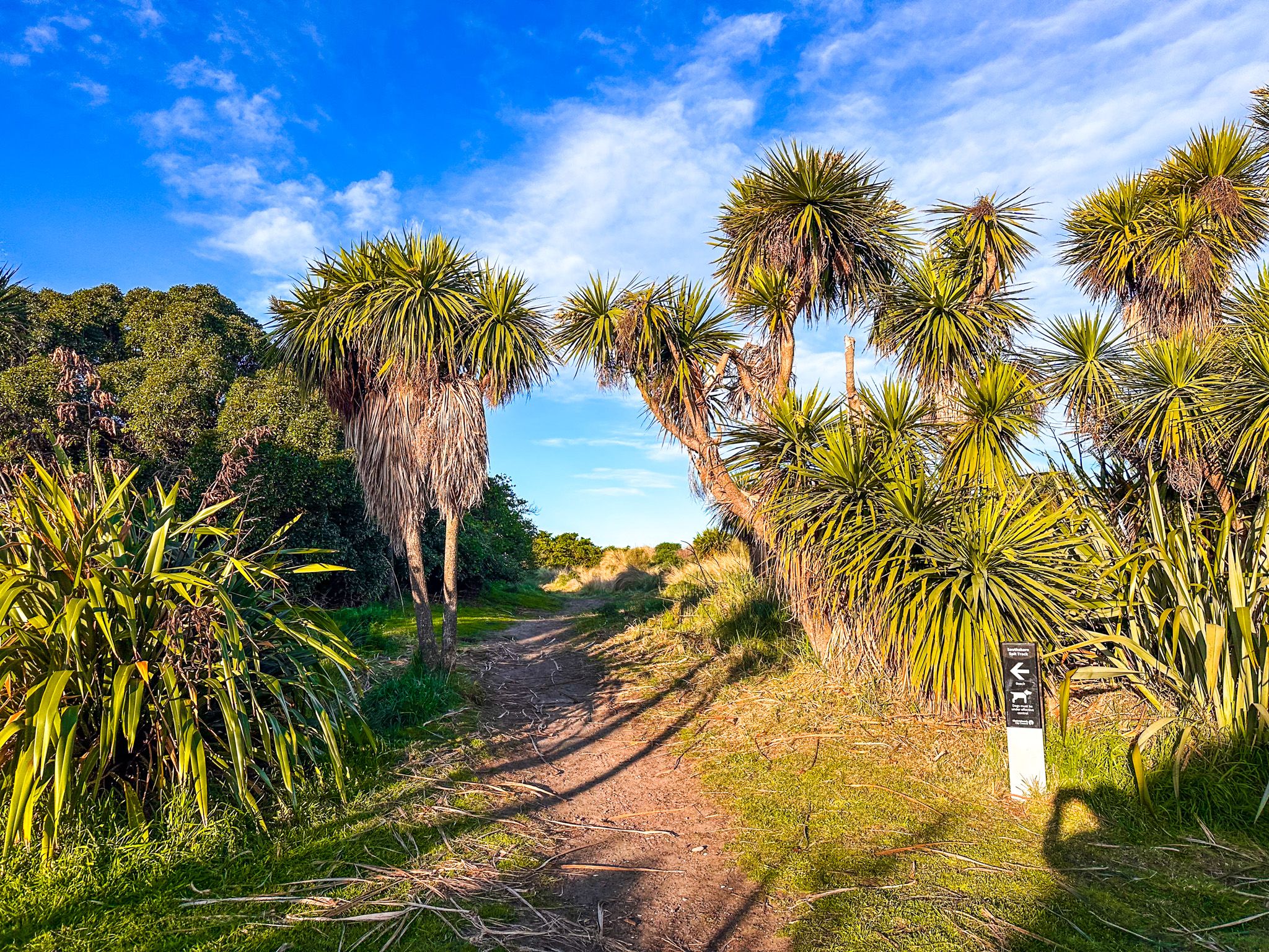
Exploring the Southshore Spit Reserve
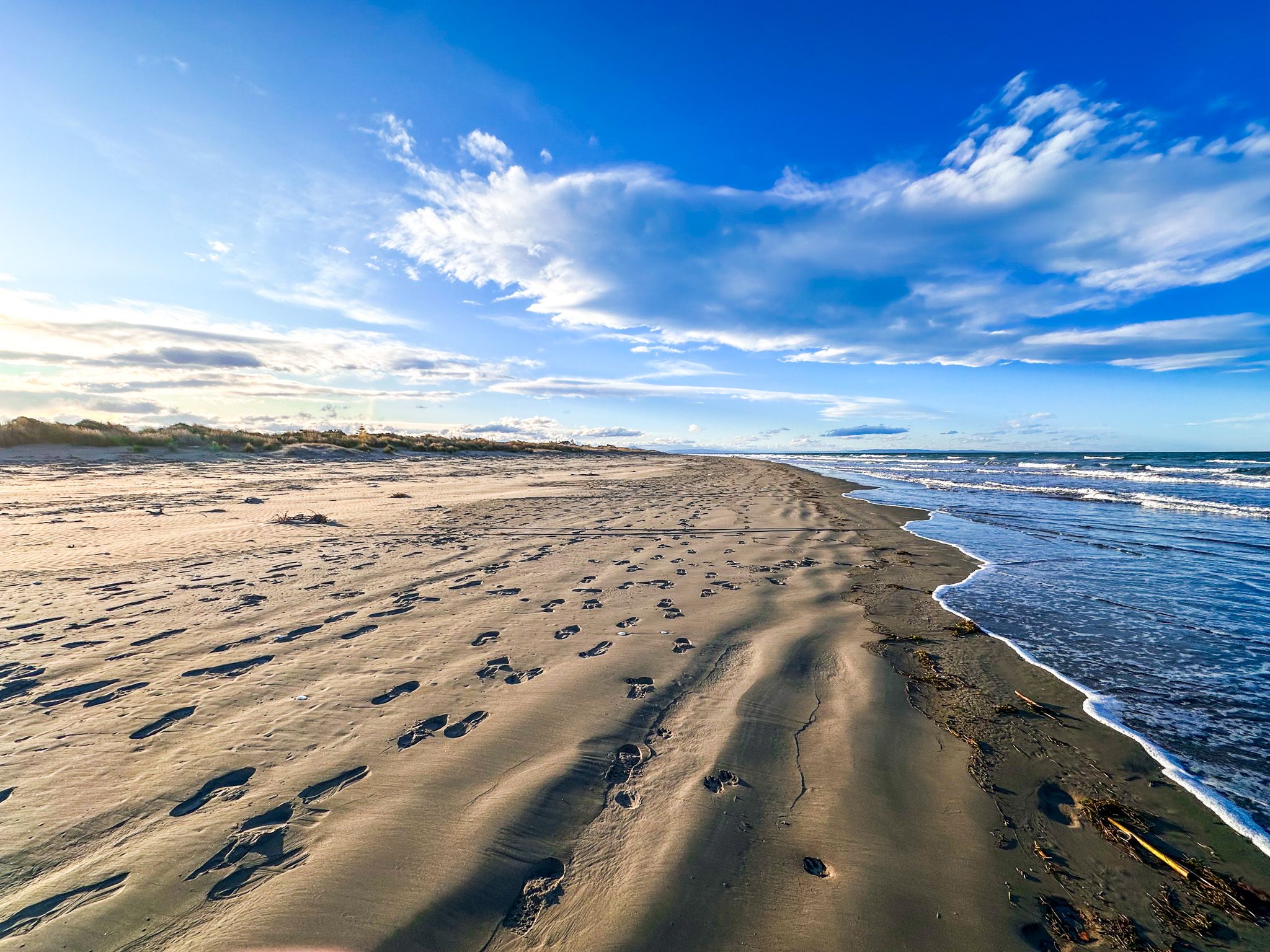
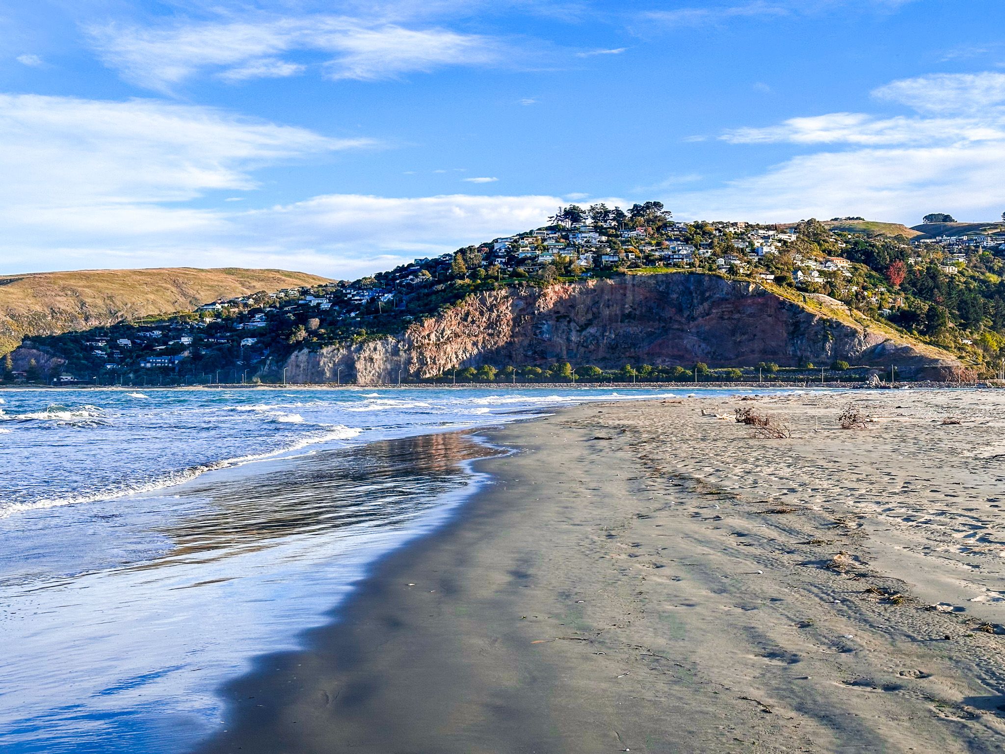
The Southshore Spit Reserve, located at the tip of the sandspit, is accessible via several short streets off Rocking Horse Road. The reserve features a 1.5 km loop track that winds through grass and scrub-covered dunes. This easy walk provides a chance to enjoy the tranquil surroundings, though caution is advised near the estuary mouth due to strong tidal flows.
Shared Track and Urban Green Spaces
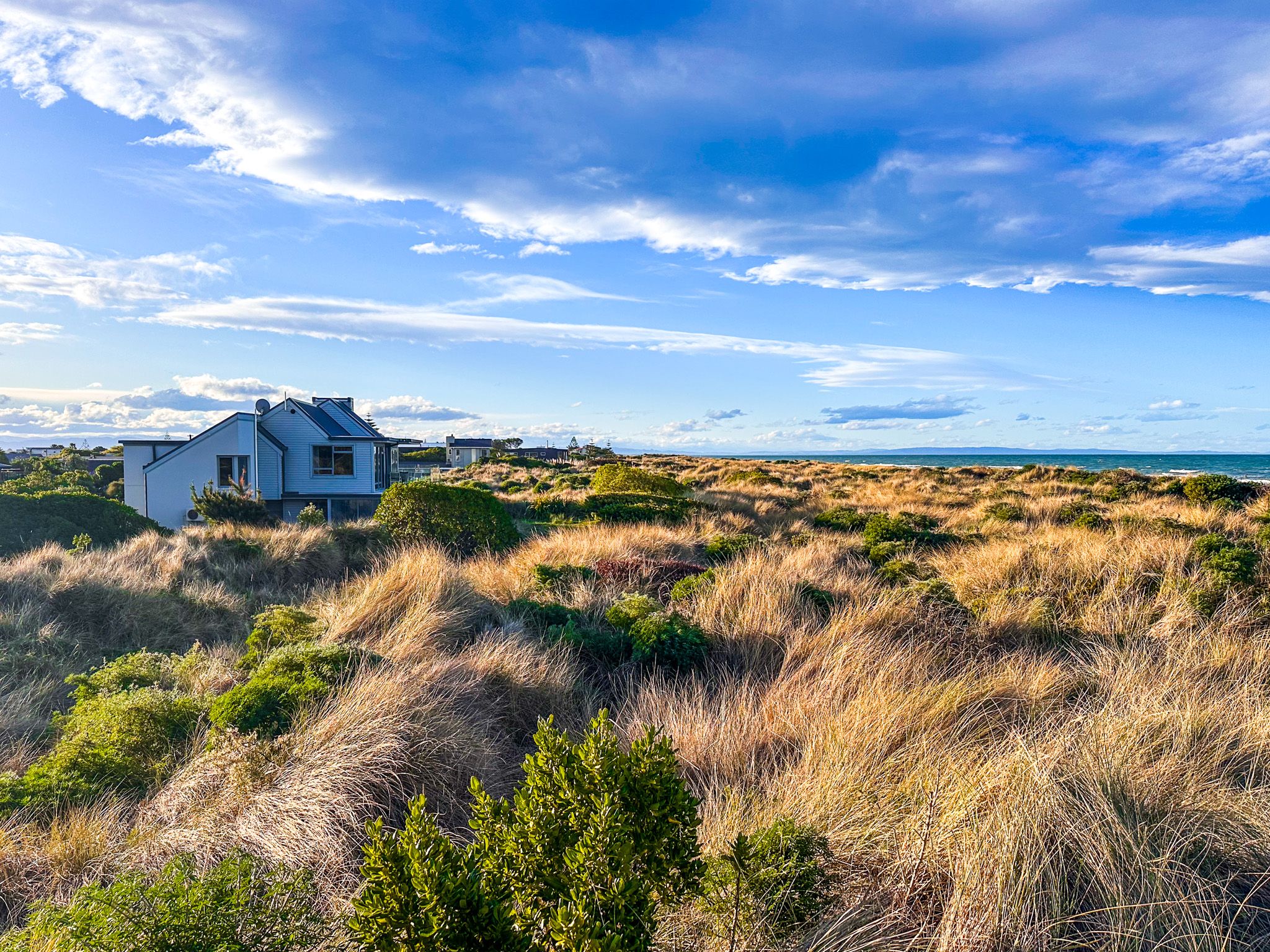
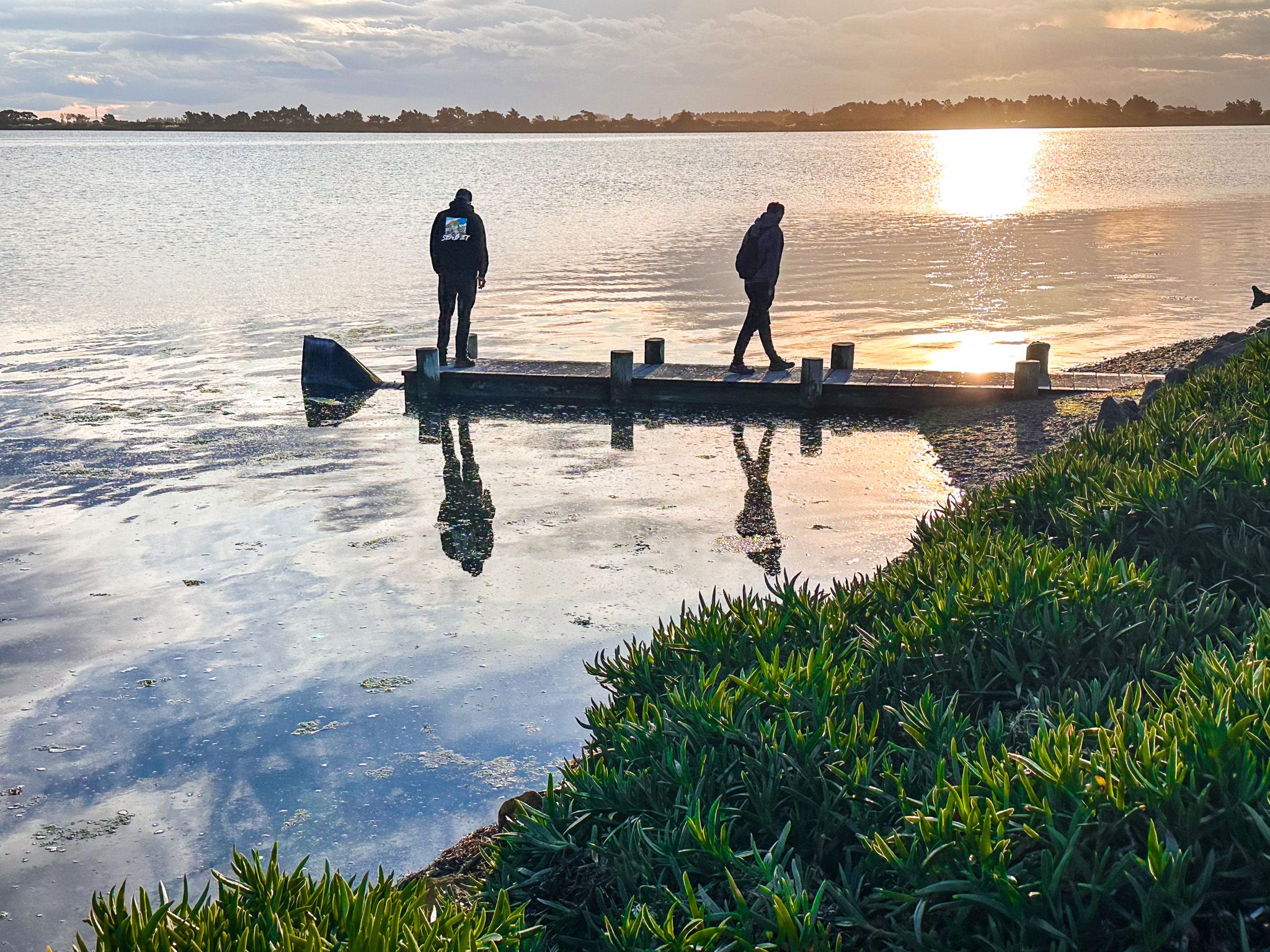
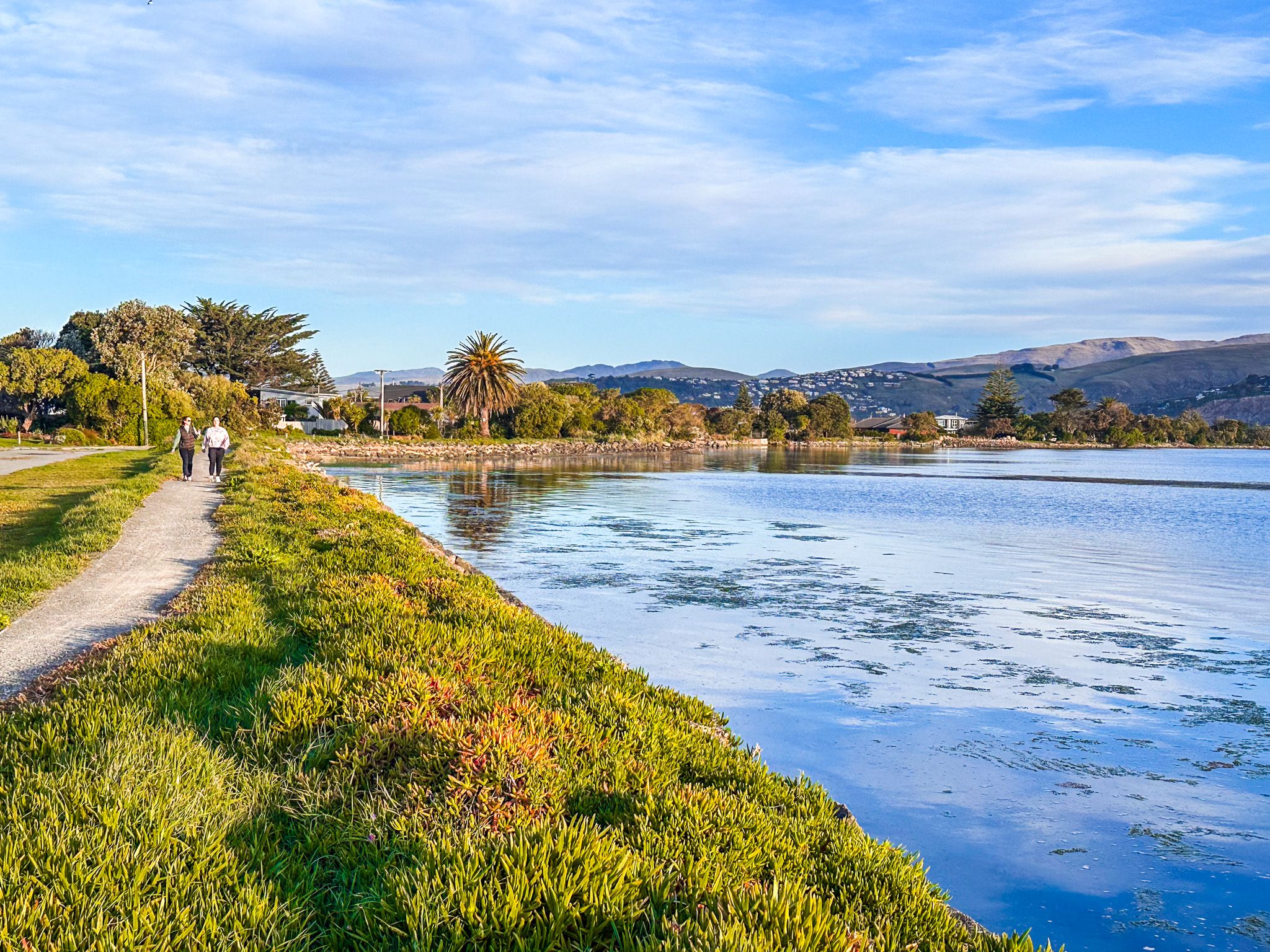
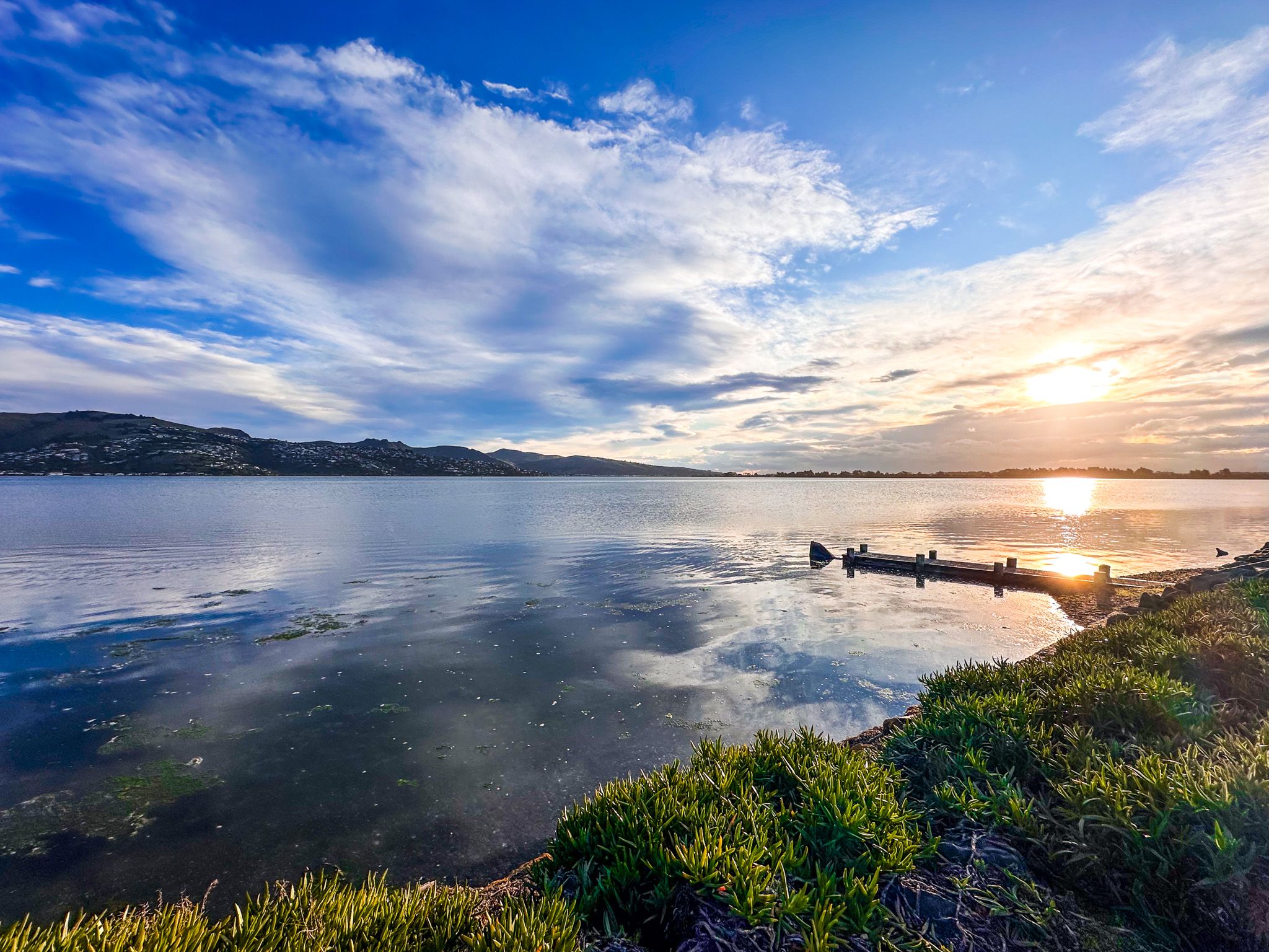
On the spit’s western side, a shared track allows you to walk along the estuary towards South New Brighton. Following the earthquakes of 2010 and 2011, 198 houses on the estuary's edge were red-zoned and removed, transforming the area into an urban green space. The estuary is particularly picturesque at high tide, especially in calm weather.
Historical Significance and Development
Before European settlement, the area was predominantly swampland and coastal dunes, rich in resources for local Māori. It served as a food-gathering site, with wharenui constructed from raupō and native trees. By the 1700s, Māori cultivated aruhe and kūmara in the sandy soil around the Avon River / Ōtākaro.
Europeans initially referred to the area as "Sandhills Run", and bach holiday homes began to appear, although it was used as a gunnery range during WWI. The suburb began to develop after World War II, with the establishment of Rocking Horse Road by the Skellerup family. Before this, the only drivable access was along the estuary at low tide. The name arose when Peter Skellerup described the bumpy road to his son as like "travelling on a rocking horse". The name stuck, although today it is a perfectly normal suburban road.
How to Get There
Southshore is located 8 km east of Central Christchurch and 5 km south of New Brighton's main retail area. To reach the reserve, drive down Marine Parade and connect to Rocking Horse Road via Caspian Road.
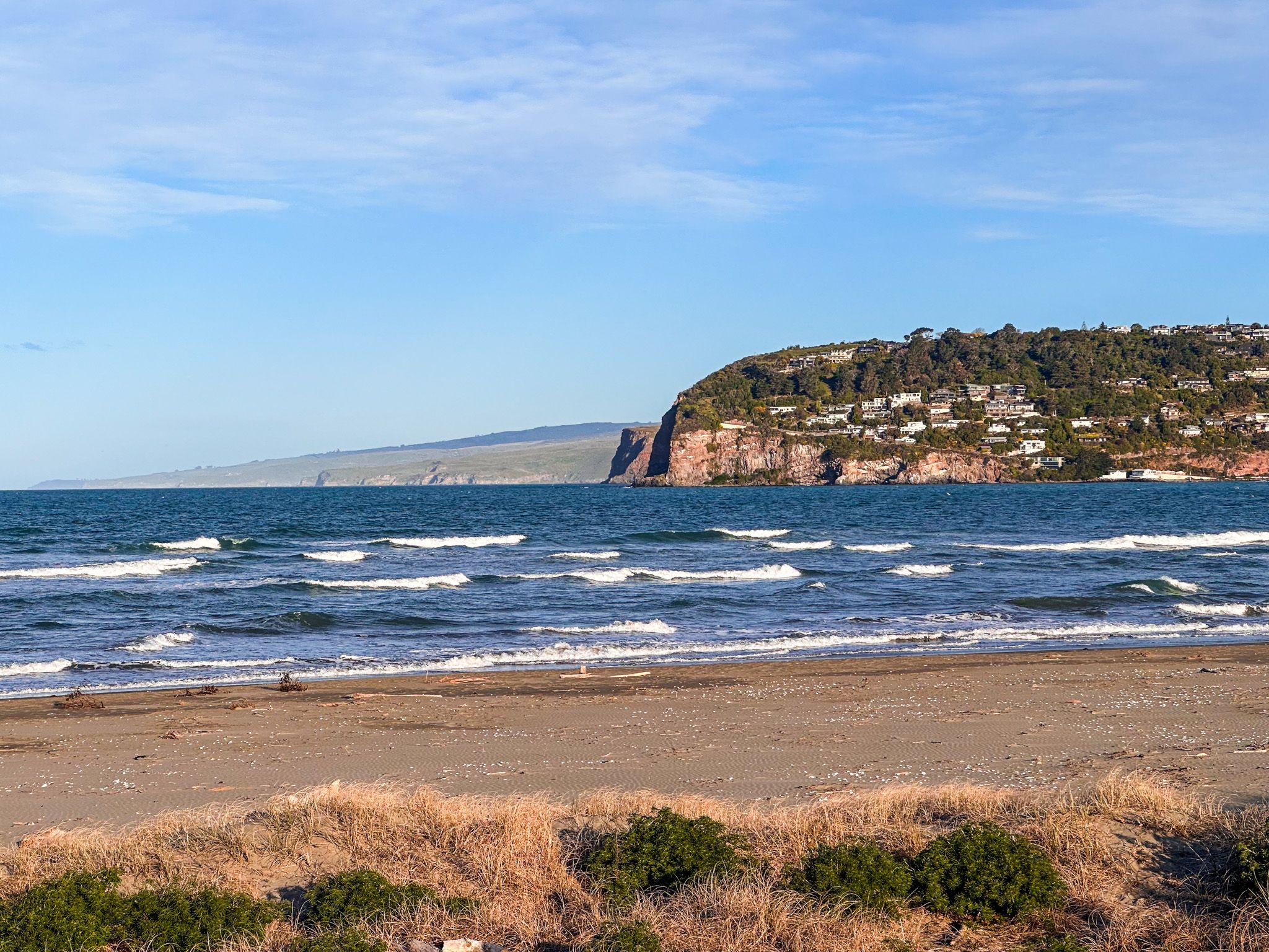
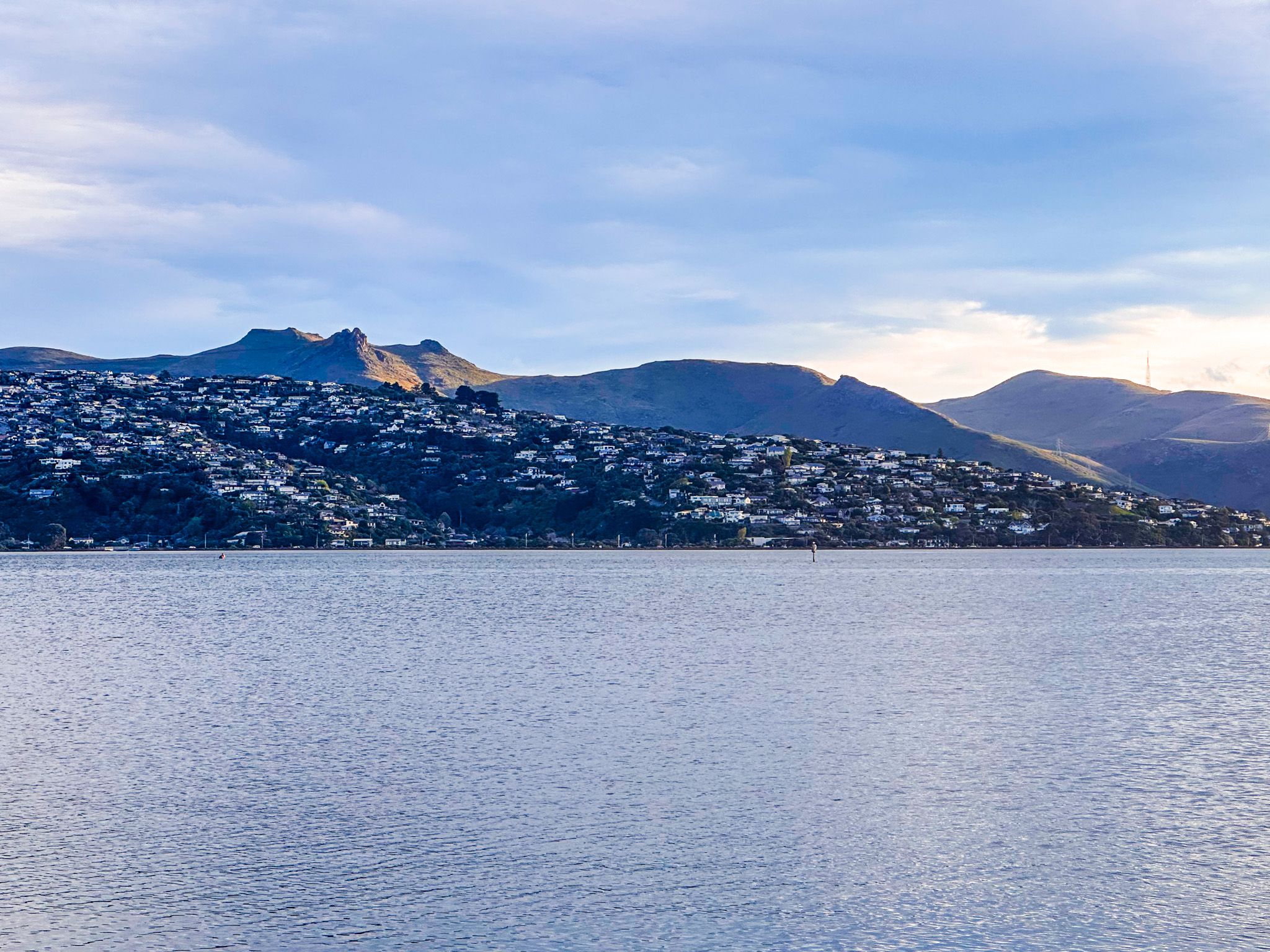
Immediately opposite the sandspit, on the other side of the river mouth, is Sumner and Banks Peninsula. From Sumner, it is a short drive to Taylors Mistake and access to Summit Road at the east end of the Port Hills.