Between the Ruahines and the Plains
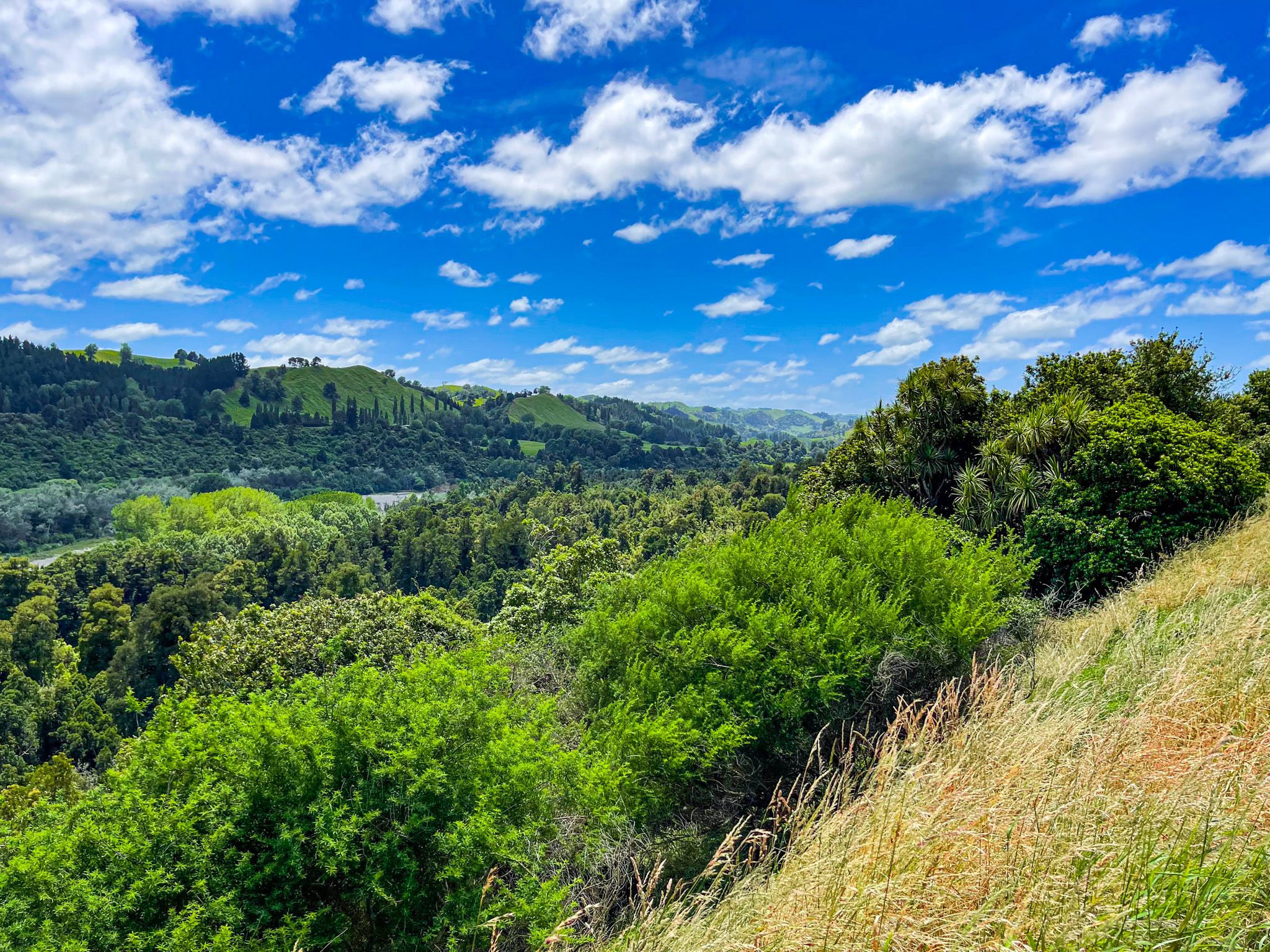
The Pohangina Valley runs roughly north-south for about 50 km between Ashhurst, on the edge of the Manawatū Plains, and the Ruahine foothills near Āpiti. The Pohangina River drains the western face of the Ruahine Range and winds its way down the valley floor, flanked by greywacke terraces and, further up, by pockets of native forest that have survived the century and a half of pastoral farming. The valley is quintessential New Zealand back-country: sheep and beef farms on the hills, dairy on the flats, and a landscape that becomes wilder and more enclosed the further north you go. The Pohangina Valley forms the southern half of the Manawatū Scenic Route, connecting to Ruahine Road near Āpiti.
The Māori Connection
The Māori name Pohangina could mean "ulcerated night," possibly meaning a place marked by bloodshed. The valley was the site of a battle between Rangitāne o Manawatū and Ngāti Kahungunu warriors who crossed the Ruahine Range via Te Ahu a Turanga. The Pohangina River was also considered significant and somewhat tapu by Rangitāne, and was a source of medicinal plants and other resources.
The valley's main European settlement began with Ashhurst in 1879. At the time, it was a remote, heavily forested district, and the new arrivals undertook large-scale clearance, followed by farming, through the late 1800s and into the early 1900s. Today, most of the remains of the Manawatū forests west of the Ruahine Range are found in this valley, primarily within the Tōtara Reserve Regional Park.
Driving the valley: two routes
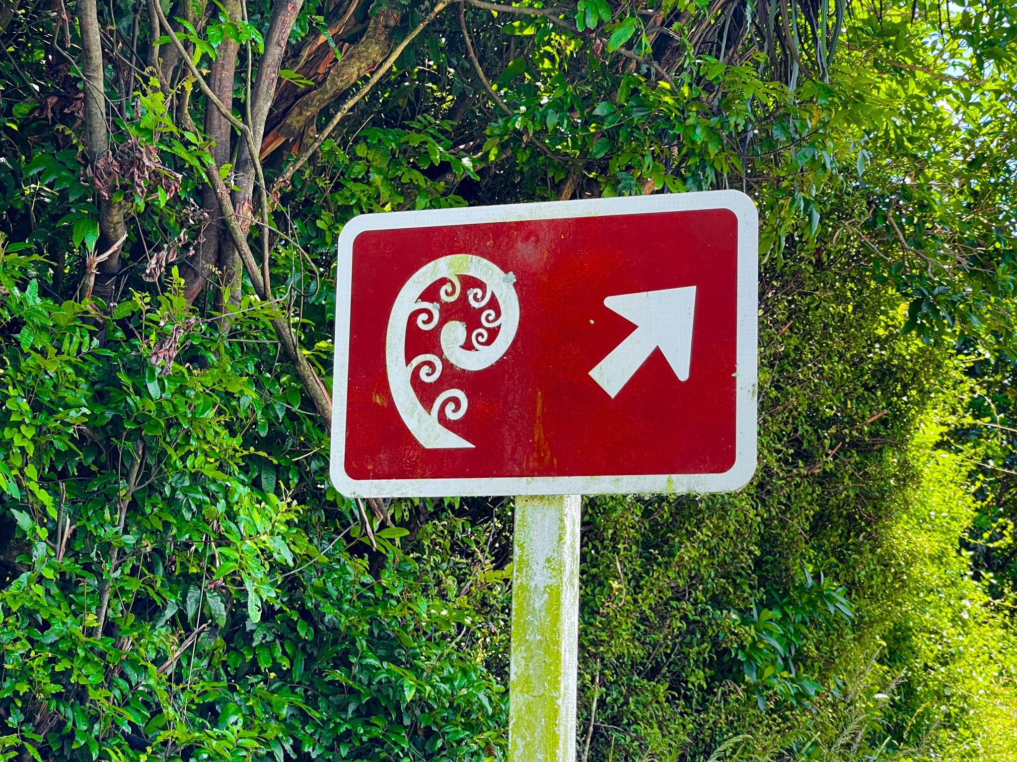
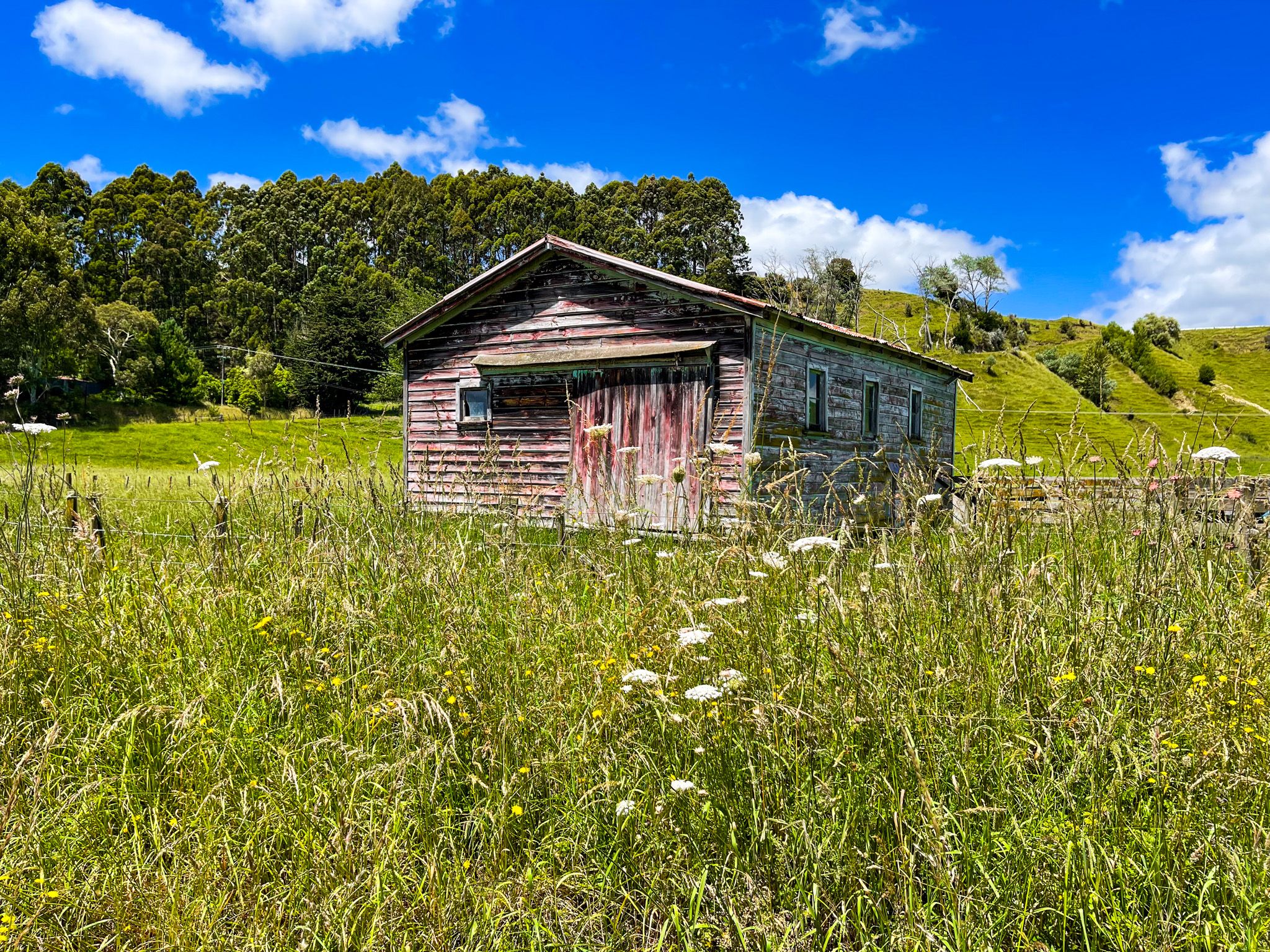
From Ashhurst, the valley splits into two parallel route options. Pohangina Valley East Road is the main sealed route and forms the southern end of the Manawatū Scenic Route. It follows the eastern side of the valley, running below the Ruahine foothills with views across to the western hills and down to the river. Pohangina Valley West Road, partly gravel, passes through the historic Pohangina village, with its small community buildings, and is the quieter, more atmospheric of the two routes. The roads converge via the restored Churchill Road Bridge further north near Tōtara Reserve and can be combined into a loop.
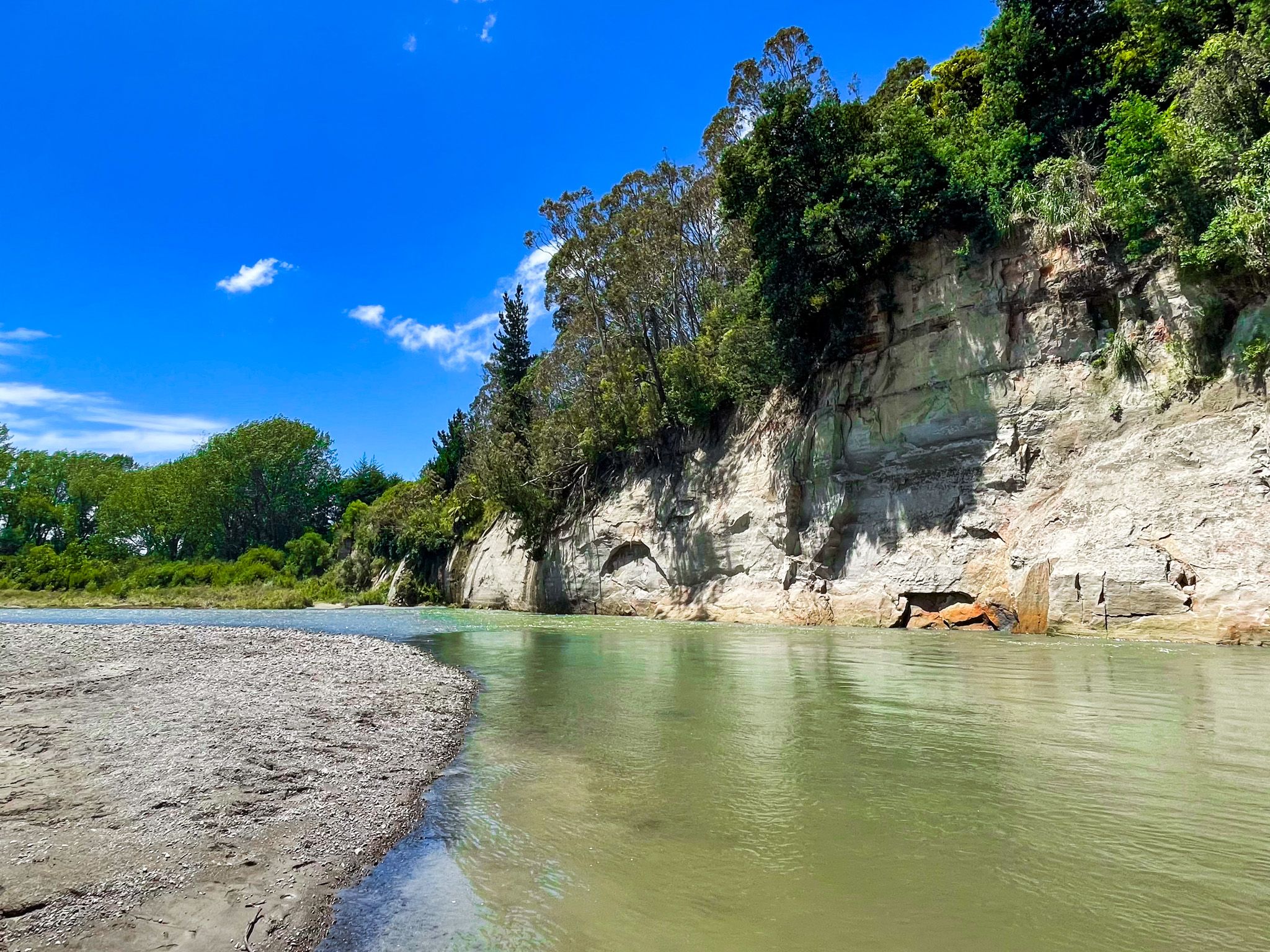
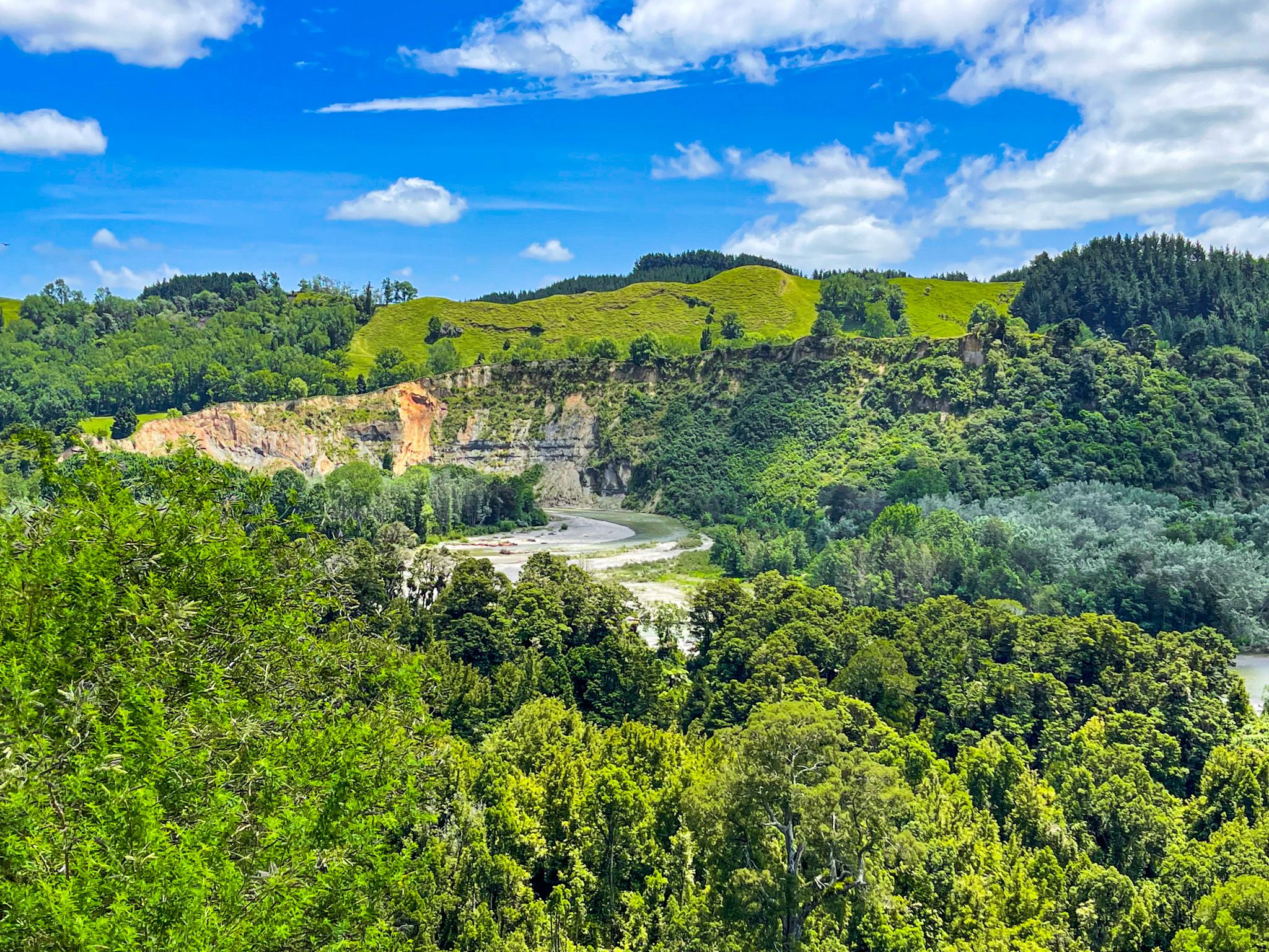
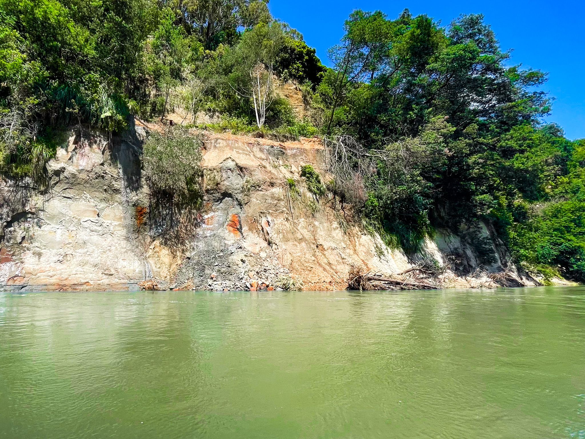
At the lower end of the valley, shortly after leaving Ashhurst on Pohangina Valley East Road, Raumai Reserve is the first significant stopping point. The Pohangina River here flows past stony beaches backed by large greywacke cliffs. This is a different rock type from the papa country to the north, harder and darker. A historic swing bridge crosses the river at the reserve, giving views up and down the valley. There are picnic areas, public toilets, and good river swimming in summer.
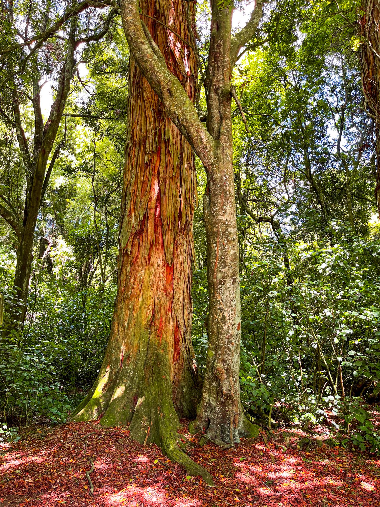
Tōtara Reserve Regional Park
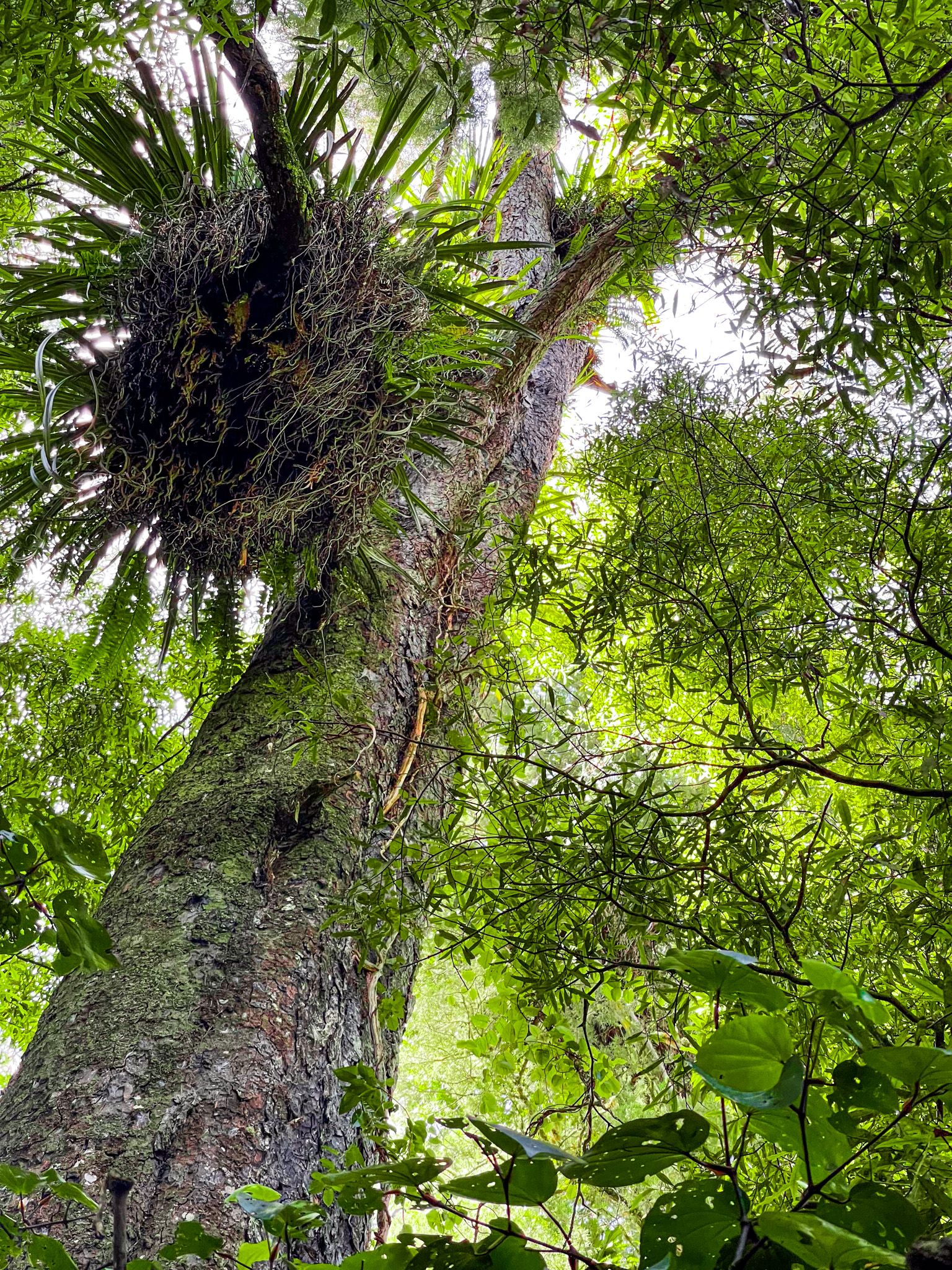
Tōtara Reserve Regional Park is at the northern end of the valley, where the Pohangina River leaves the Ruahina Forest Park and enters the farmed valley and foothills. It is the centrepiece of the valley, with 340 hectares of lowland podocarp forest, the best remaining example in the region. Tracks range from short nature walks to the 4.5 km Fern Walk, two campgrounds, river swimming, and facilities suitable for day visits and overnight stays. Access to the reserve tracks is from Pohangina Valley East Road and Churchill Road at the north end of the park.
Short Walks and Viewpoints
The valley has a good range of short tracks accessible from the road. The Kahikatea Walk on Pohangina Valley East Road is an easy 900-metre path through a stand of mixed native forest, including notable rata, kahikatea, and rimu, with valley views at the end. It takes about 30 minutes return and is suitable for all ages. The No. 1 Line Lookout Track, accessed from No. 1 Line Road off Pohangina Valley East Road near Pohangina village, is a steep 1 to 1.5-hour return walk through native bush to elevated viewpoints with wide views across the Manawatū Plains and south to the Tararua Range. On a clear day, the coast is visible. The Branch Road Walkway, about 4 km, follows a 19th-century road alignment cut into the hillside above the valley, passing through bush and farmland with good views.
How to get there
From Palmerston North, take State Highway 3 east to Ashhurst (about 15 km), then turn north onto Pohangina Road. After about 10 km, turn right onto Pohangina Valley East Road for the main sealed route. Alternatively, continue on Pohangina Road for the West Road route through Pohangina village. The full valley drive from Ashhurst to Tōtara Reserve and back takes about two hours without stops, or a comfortable half-day with pauses. Combined with Ruahine Road north to Āpiti and return via Kimbolton and Feilding, the full Manawatū Scenic Route makes a good full-day circuit from Palmerston North. Nearby places to visit include Iron Gate Gorge and the Ruahine Dress Circle.