Discover the Murray Creek Track
Murray Creek Track in Victoria Forest Park near Blacks Point and Reefton takes you through South Island, West Coast mining country, where old tramways and industrial sites remain scattered through native forest. The track follows Murray Creek, then connects to historic workings that once powered the region's gold-mining economy.
Features and What to See
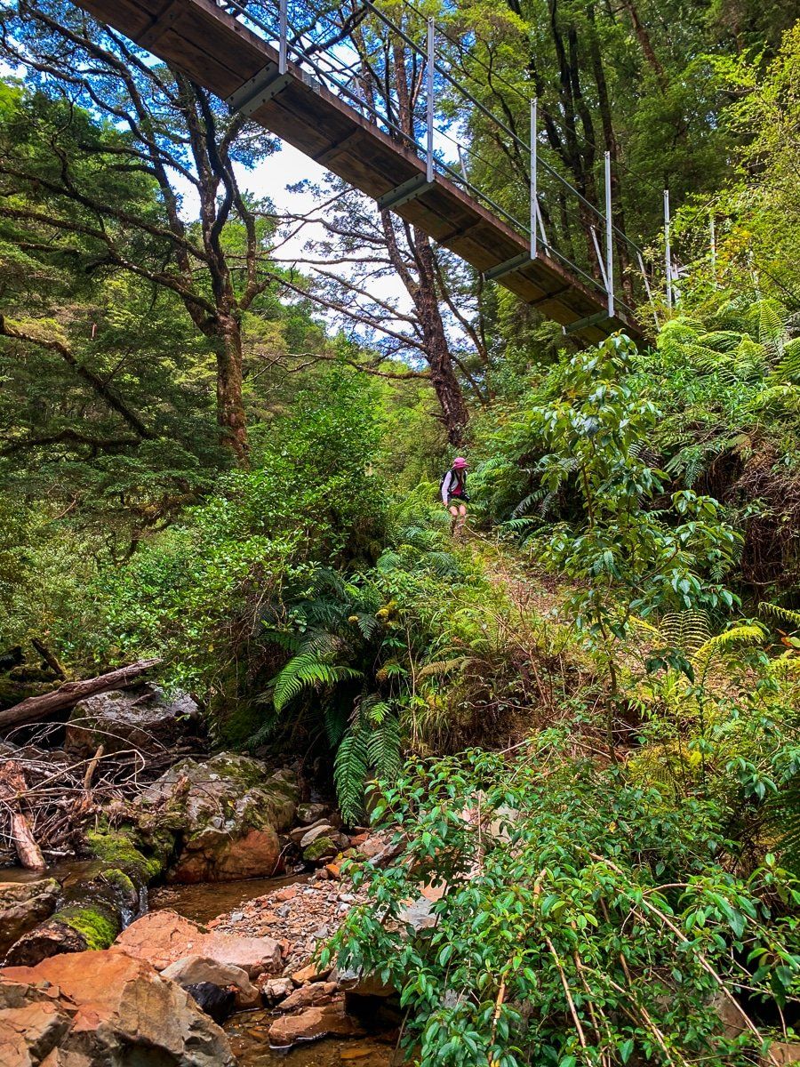
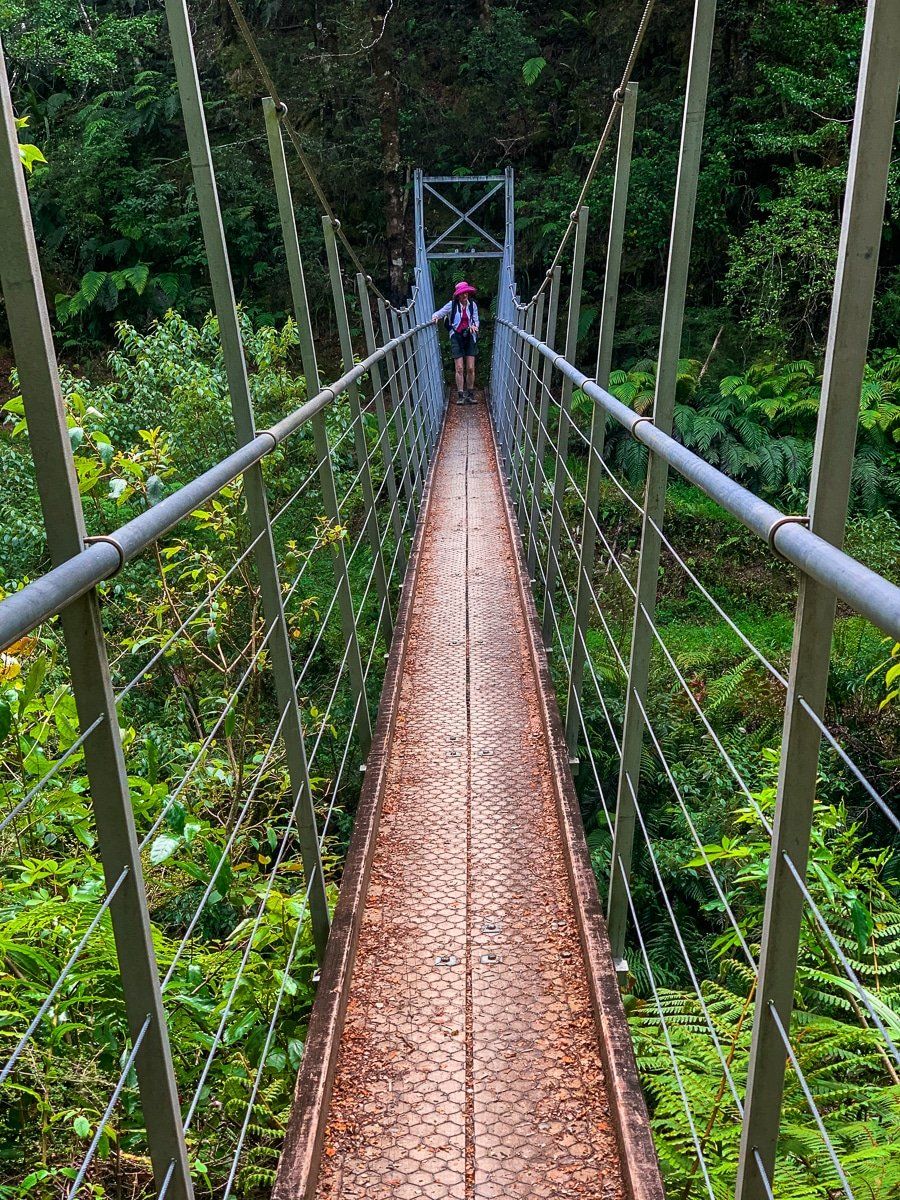
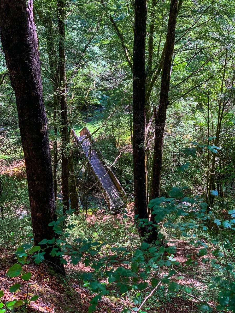
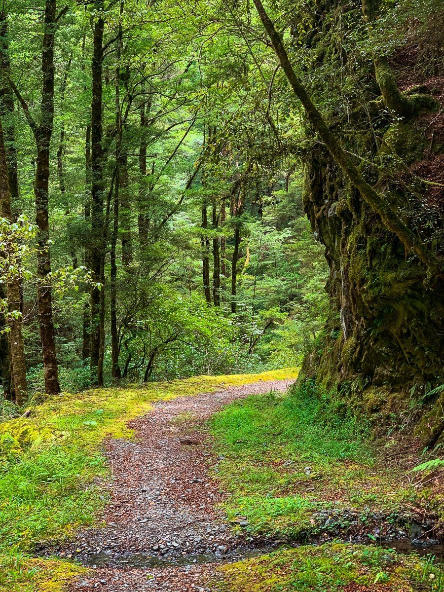
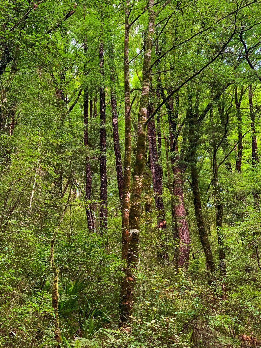
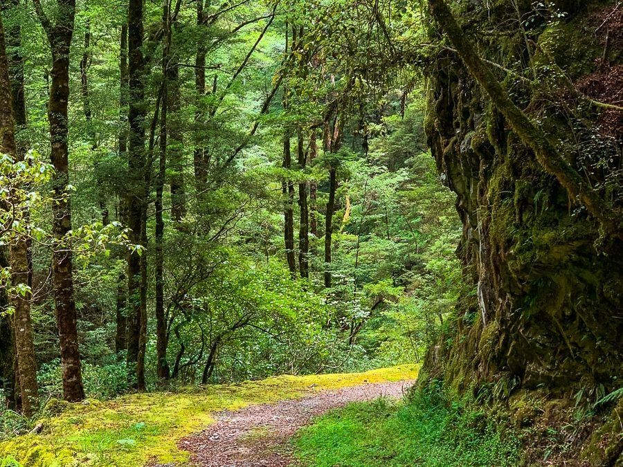
The Murray Creek Track forms a shared hiking and cycling loop that takes around five hours to hike, though shorter options exist. Starting from Blacks Point, the track follows Murrays Creek through regenerating forest that was once cleared by mining operations. A swingbridge crosses the creek partway along, marking the junction where routes diverge toward different historic sites.
Beyond the swingbridge, one route continues to Cementown, an abandoned mining settlement where foundations and machinery parts remain visible among the vegetation. The alternative path follows an old tramway formation to the Energetic Mine, where rusted equipment and tunnel entrances mark where miners extracted quartz and gold. Both routes showcase the infrastructure that supported the region's mining operations during the late 1800s and early 1900s.
For those with more time, the track extends beyond the main loop toward the Waitahu River. This more remote section accesses additional mining sites and tramway remnants through less-visited forest, suitable for mountain biking as well as walking.
History
Gold discoveries in the Reefton district during the 1860s sparked intensive mining development throughout Victoria Forest Park. The Murray Creek area became part of this expansion, with companies establishing operations to extract quartz reef gold rather than alluvial deposits. The Energetic Mine and surrounding workings operated through the late 1800s, requiring tramways to transport ore and supplies between mine sites and processing facilities.
Cementown developed as a support settlement for nearby mining operations, housing workers and their families. The settlement included basic infrastructure and processing equipment, though little remains beyond foundations and scattered machinery. Mining activity declined through the early 1900s as accessible ore bodies were exhausted, leaving the tramways and sites to gradually return to the forest.
Getting There
From Reefton, drive southeast on State Highway 7 to Blacks Point. The track begins at the Blacks Point car park, clearly signposted from the main road. Allow a few minutes of driving time from Reefton township to reach the trailhead.
Other nearby places to visit include the Reefton Historic Power Station, the Inangahua Swingbridge and Waiuta. Be sure to stop in at the Blacks Point Museum as well.