Discover Lake Rotoaira
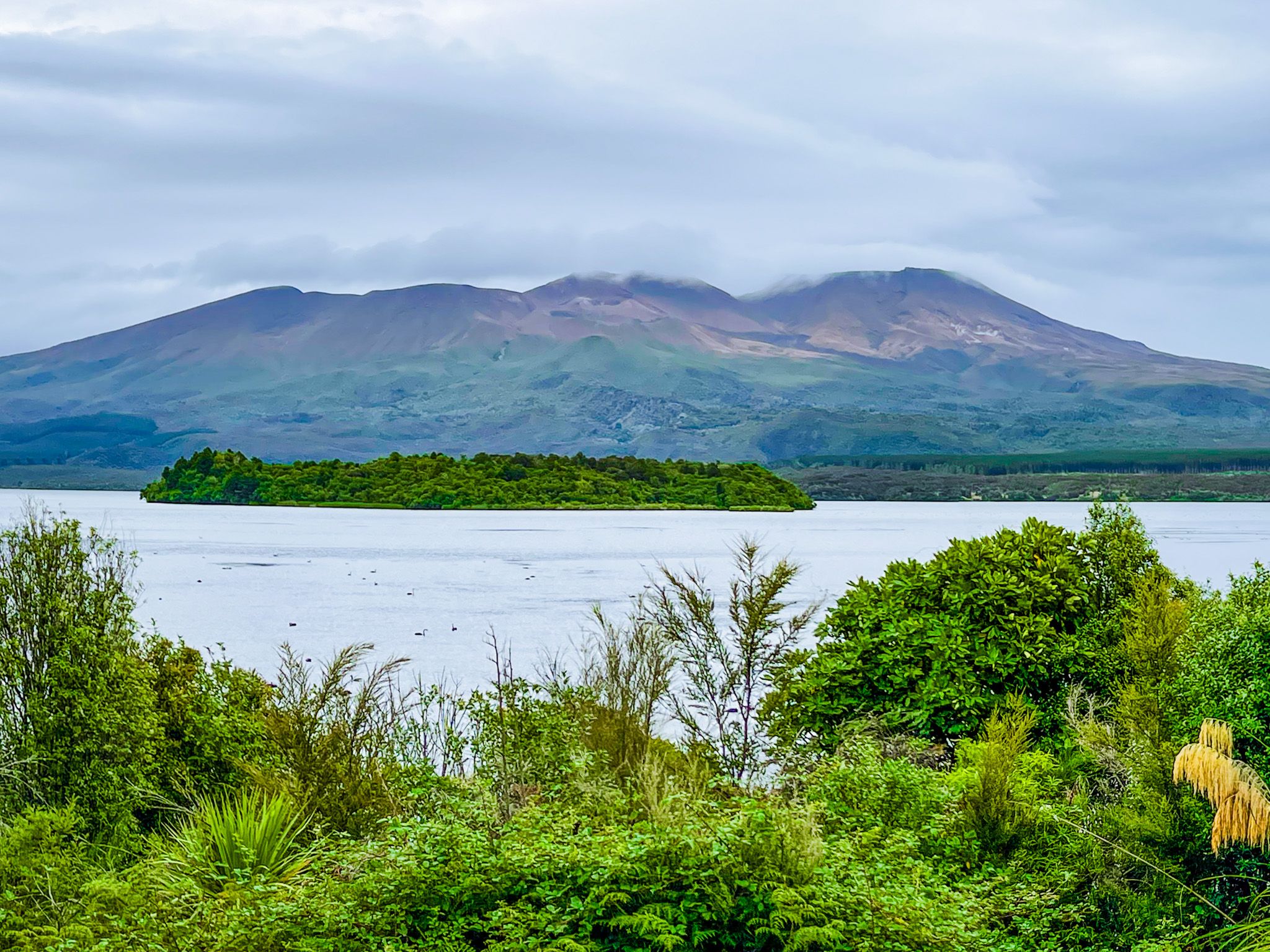
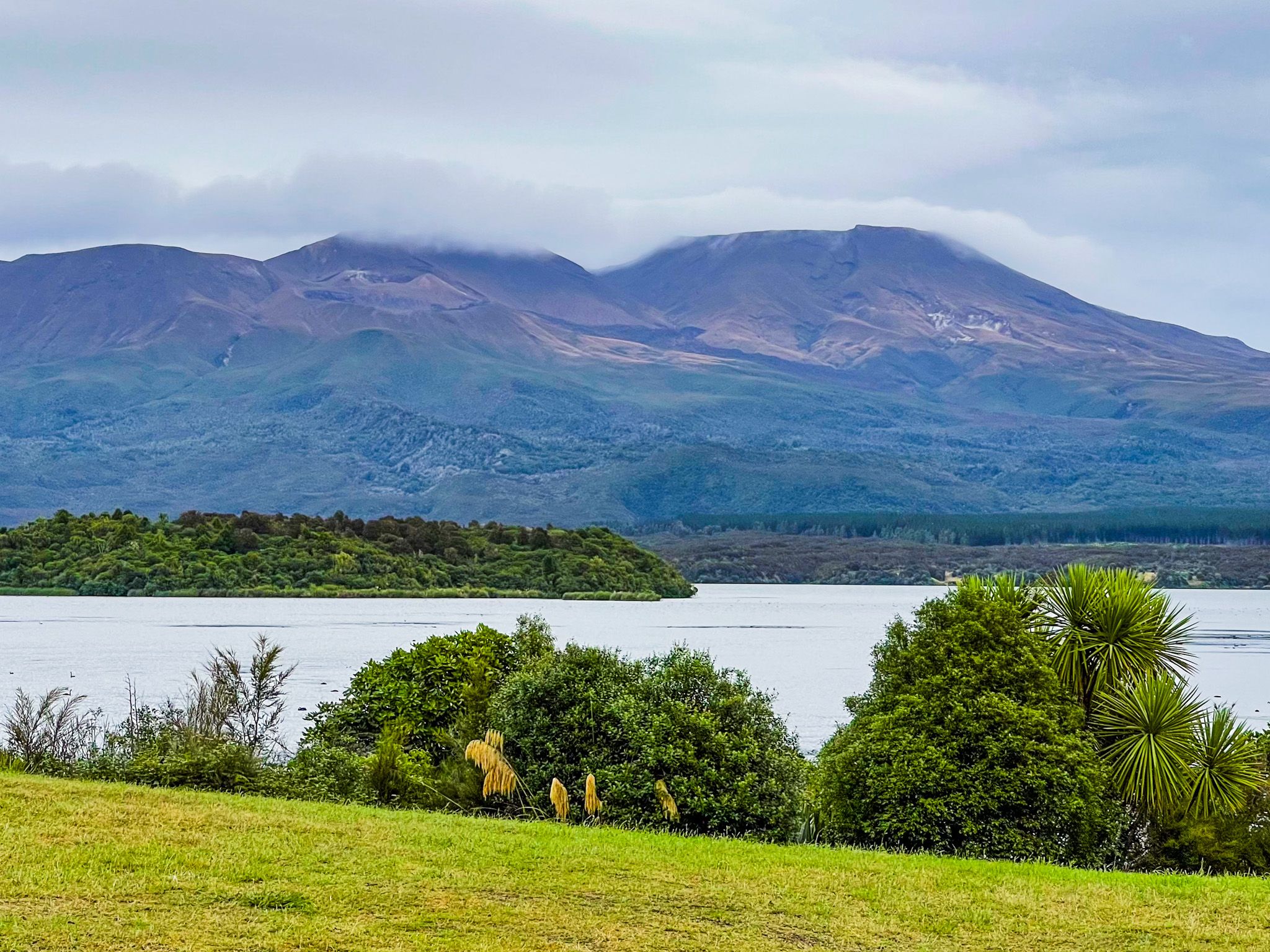
Lake Rotoaira lies on the volcanic plateau of the North Island, between State Highway 46 and State Highway 47. Though modest in size at 13 square km, the lake is 564 metres above sea level, compared to Mount Tongariro at the south end at 1,856 metres high, while Mount Pihanga is to the east at 1,326 metres. The lake is worth visiting for its dramatic volcanic backdrop alone, but it is also culturally significant.
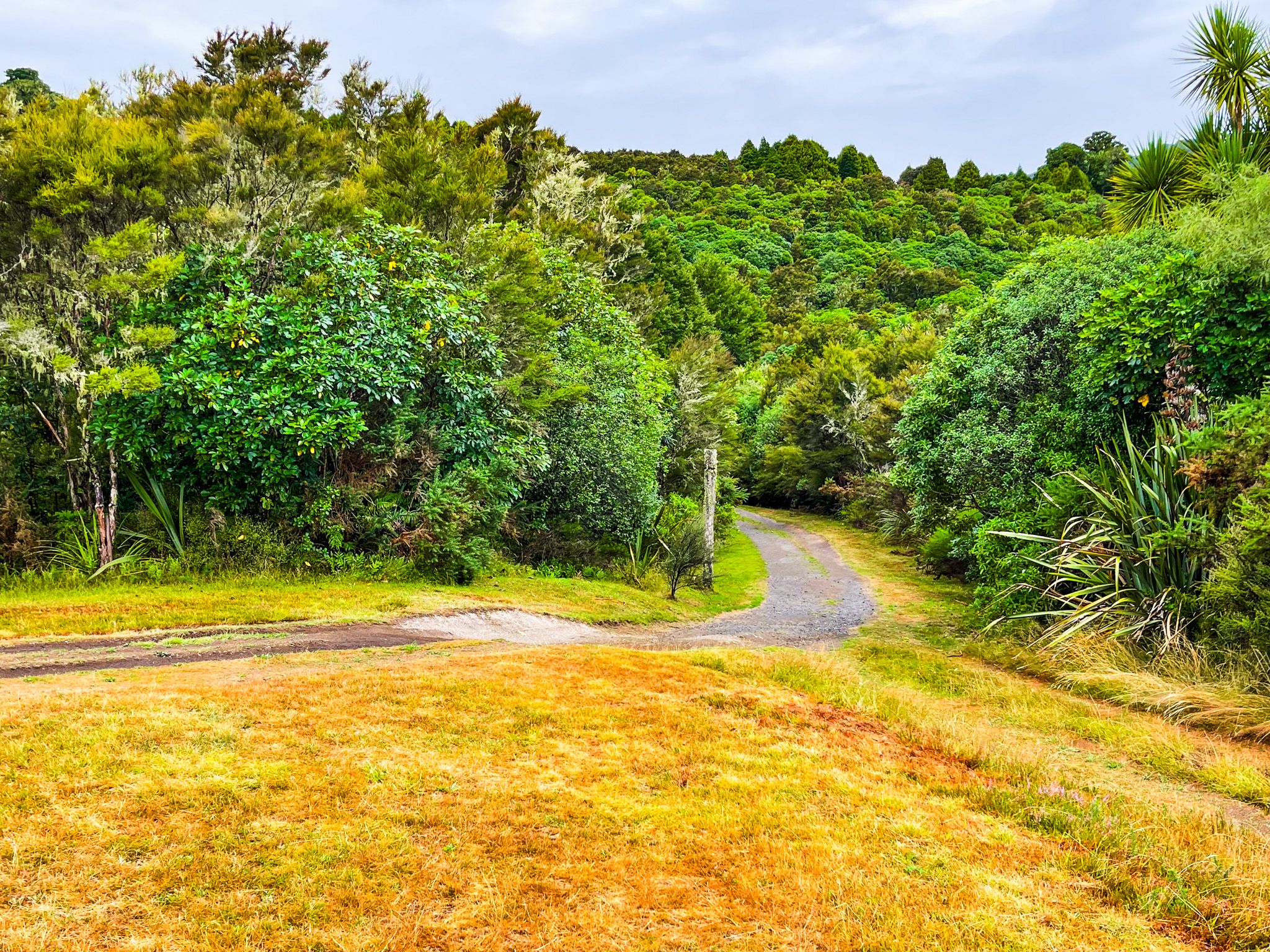
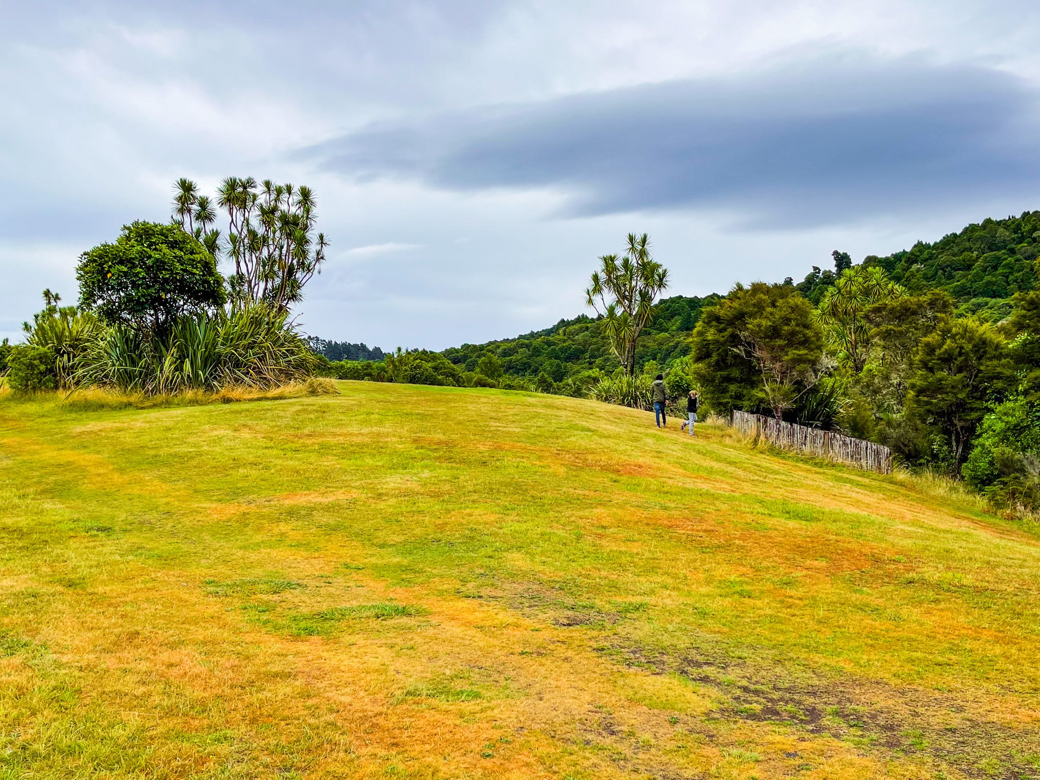
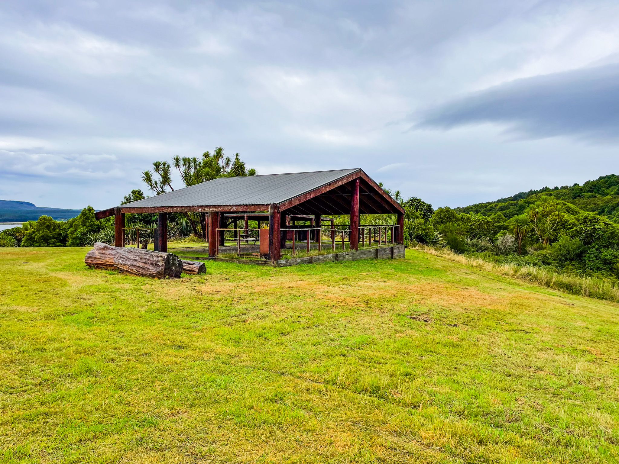
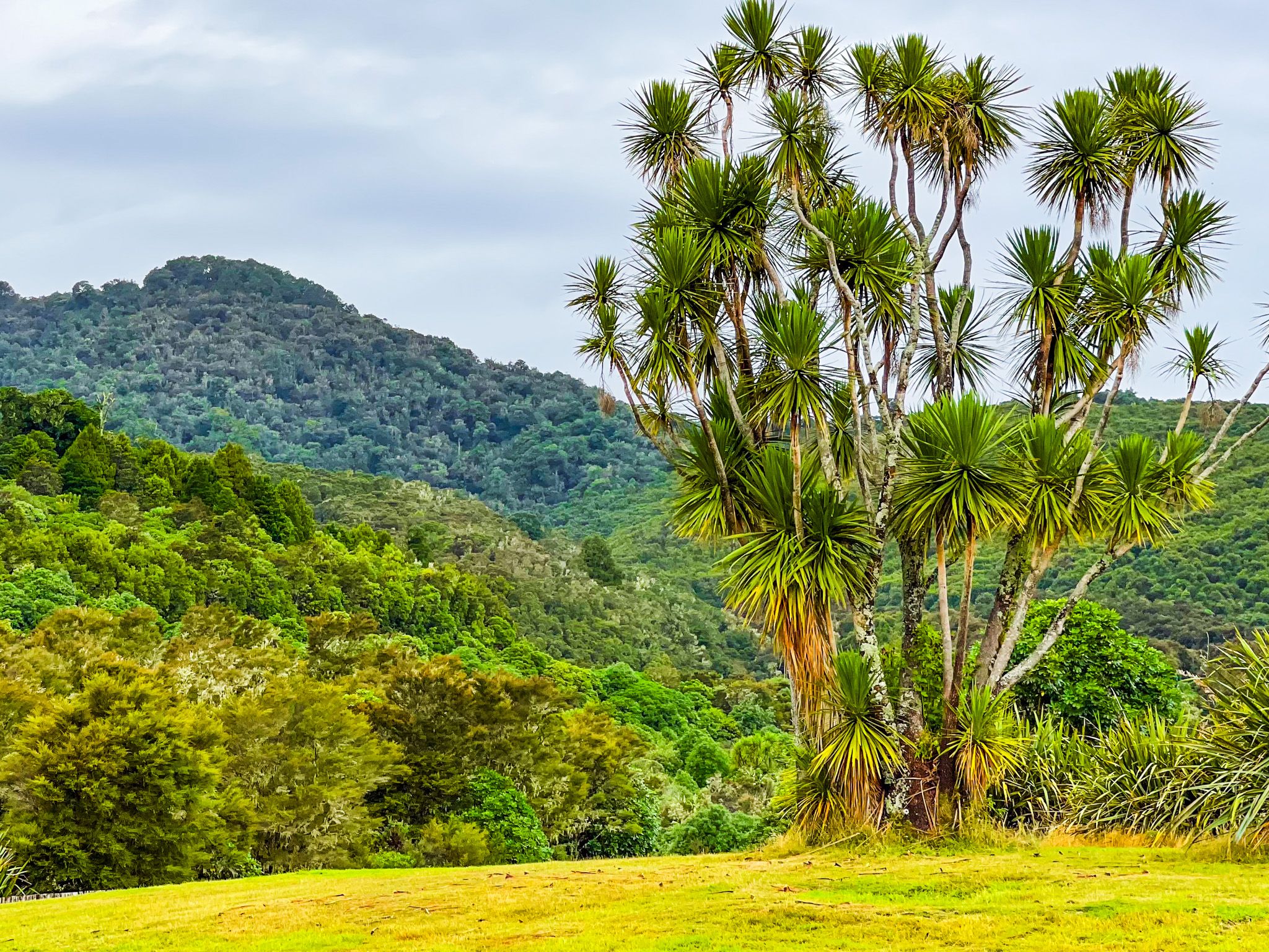
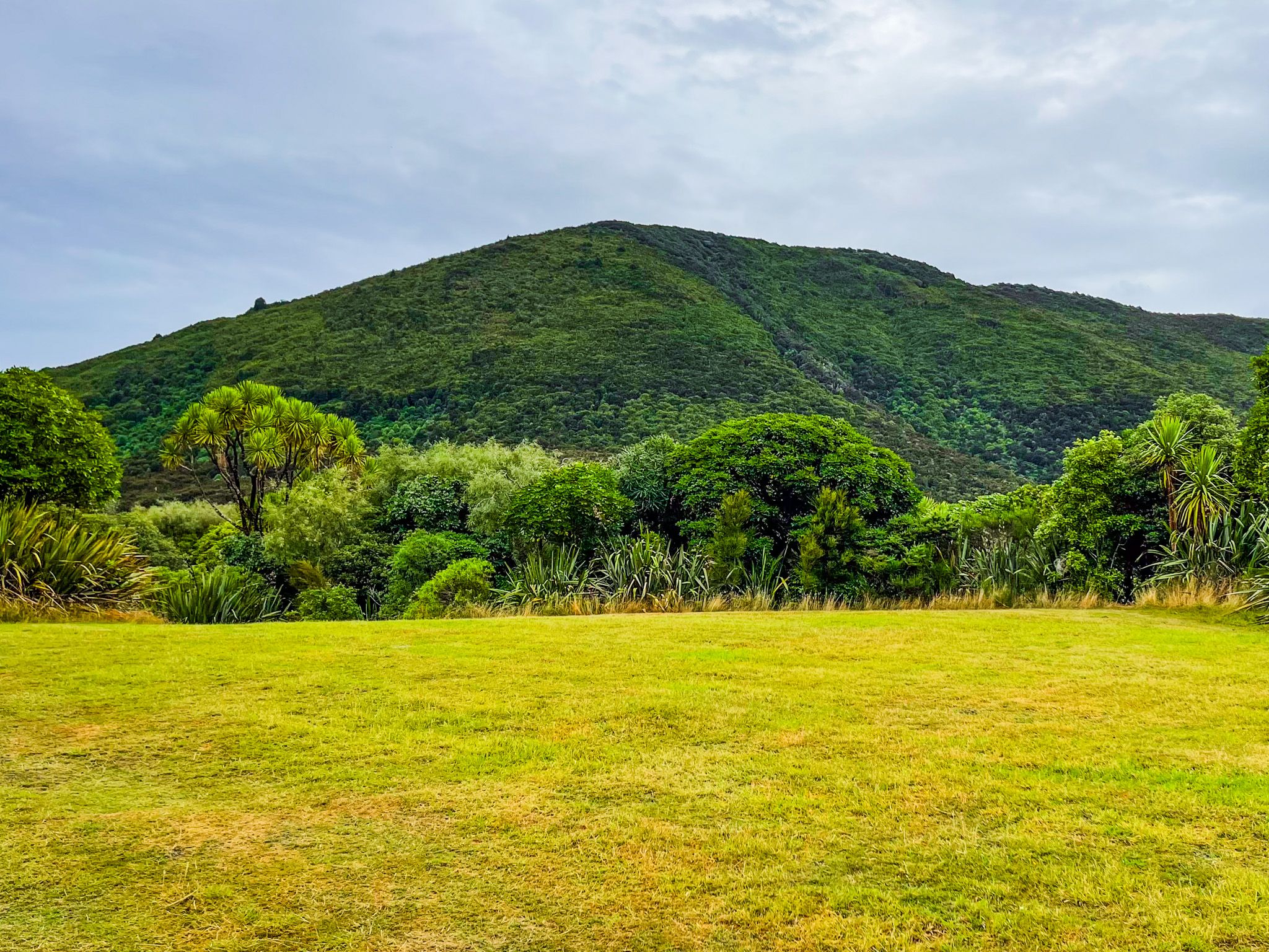
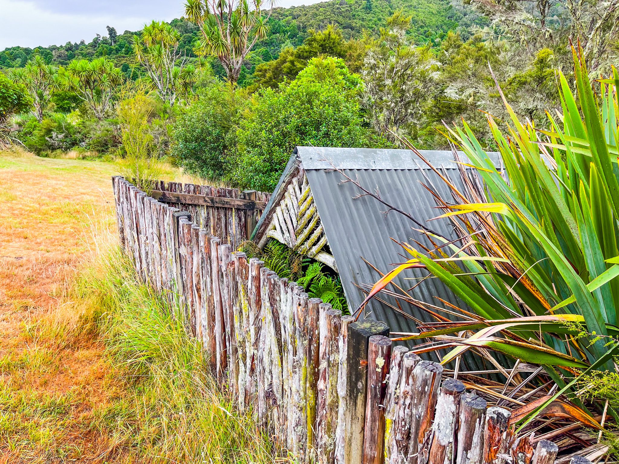
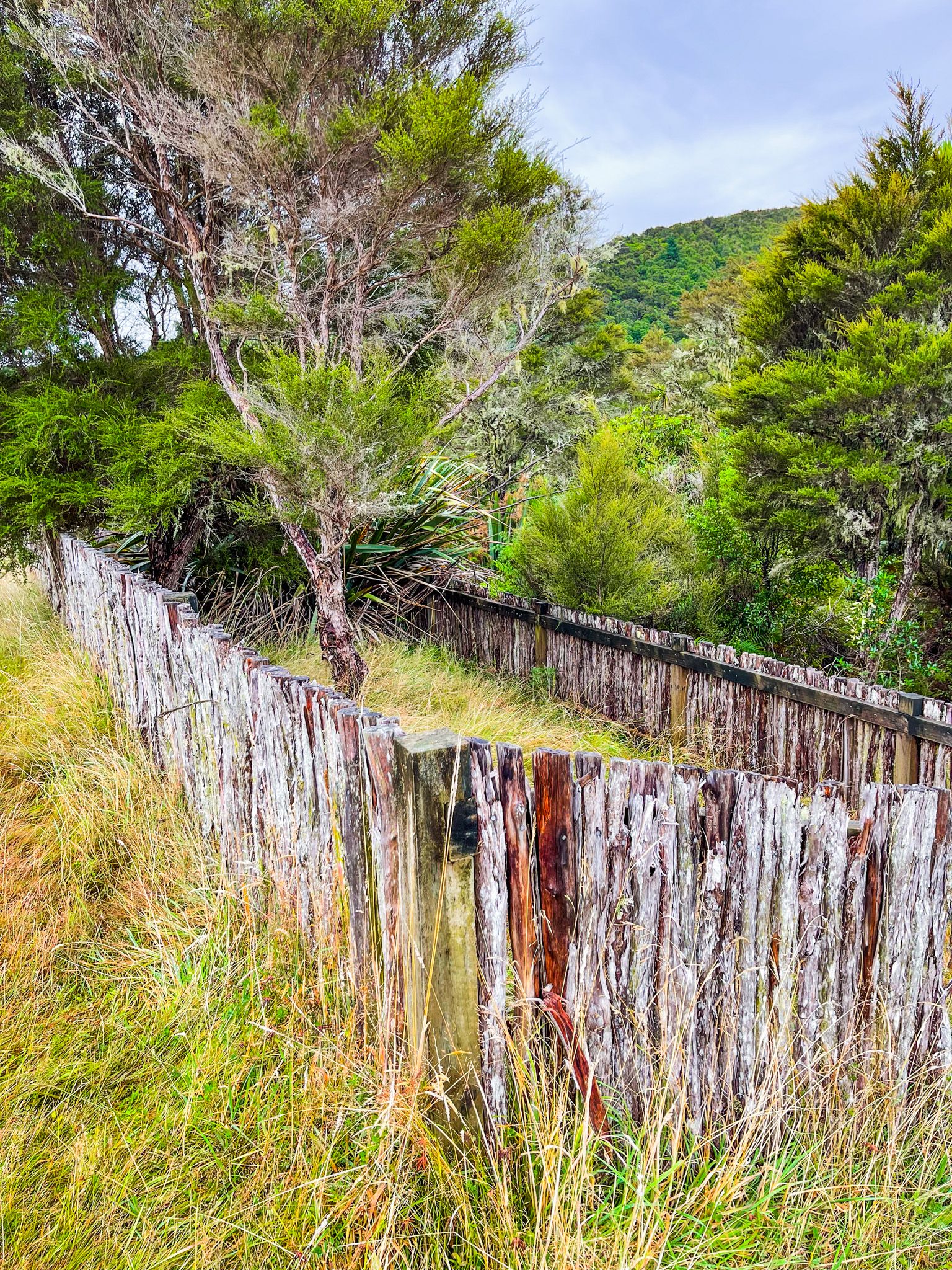
The main access point to the lake is the Opōtaka Historic Reserve, which sits on the north side of Lake Rotoaira. The reserve resulted from an archaeological dig that was required during the implementation of the Tongariro Power Scheme. Today, protected sites, interpretation panels, and paths combine with the picturesque views of the lake, Tongariro, and Pihanga.
The Tongariro Power Scheme
Lake Rotoaira is central to the operation of the Tongariro Power Scheme. It is a key storage reservoir, collecting water from both western and eastern sides of the volcanic plateau before releasing it through the Tokaanu tunnel to the Tokaanu Power Station. From there, the water flows to Lake Taupo in the Tokaanu Tailrace Canal. You can clearly see the power station from State Highway 41, where its tunnels drop 90 metres to the generators.
In the 1960s, the Western Diversion was built to capture water from the Whakapapa River and its tributaries. This water was channelled through a series of canals and lakes, including Lake Te Whaiau and Lake Ōtamangāka, before arriving at Rotoaira via the Wairehu Canal. The construction of the Poutu Dam on Poutu Stream led to the lake being raised by half a metre. Meanwhile, water from the Tongariro River and its tributaries on the eastern side of the plateau flows through the Rangipō and Poutu channels, via Beggs Pool, into Rotoaira.
The transformation of Rotoaira was controversial, leading to an eventual Treaty of Waitangi settlement between the government and the Ngāti Tūwharetoa hapū. Today, the lake is administered by the Lake Rotoaira Trust on behalf of Ngāti Tūwharetoa hapū. The trust manages programmes to restore the lake's fisheries and adjacent waterways and wetlands. You can purchase a fishing license here.
Archaeological and Cultural Significance
Opōtaka was a historic Māori kainga (village) and is believed to be the place where Te Rauparaha wrote the famous haka Ka Mate. The archaeological digs in the late 1960s revealed house platforms, storage pits, and artefacts reflecting both pre-European and European occupation. Ngāti Hikairo hapū have led efforts to restore Opōtaka, and a historic reserve was created in 1981.
Other nearby significant sites include the Te Waiariki burial ground, excavated during hydro tunnel construction. Fifty-five bodies were moved, including two Māori missionaries, Te Manihera and Kereopa, who were ambushed and killed as an act of utu (revenge) in 1847. They were reinterred at St Paul’s Chruch in Tokaanu.
McDonnell's Redoubt on the south side of the lake, linked to Te Kooti, was also investigated and partially reconstructed, although there is nothing much to see today.
How to Get There
Lake Rotoaira can be reached at Opōtaka from State Highway 47 on the north side of the lake, with a signposted access road west of the Lake Rotopounamu Track access.
Other nearby sites include Lake Ōtamangākau, the Tokaanu Thermal Walk, and Te Pōrere Redoubt, a site associated with the New Zealand Wars and Te Kooti. The Kaimanawa Forest Park lies to the east of the Desert Road, only a short drive away.