Exploring Kuripapango
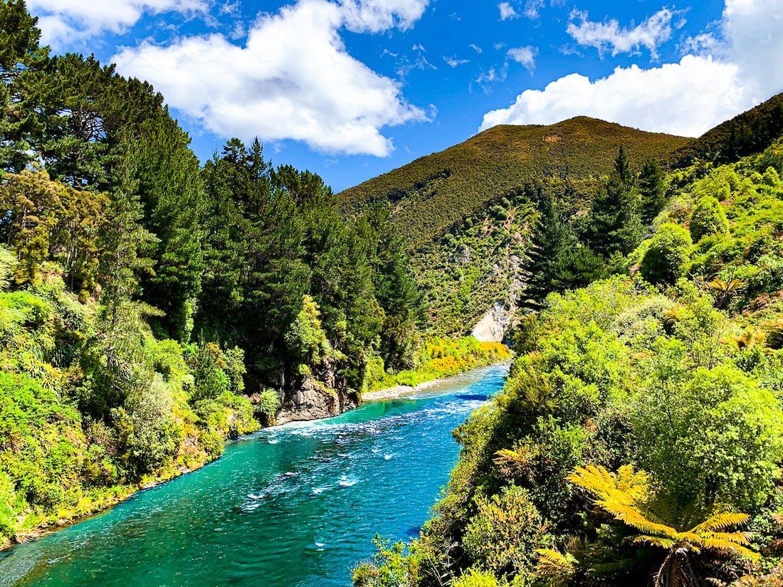
Kuripapango is a remote and scenic area located along the Taihape Napier Road, just west of Kaweka Forest Park. This location is ideal for outdoor enthusiasts, with a DOC campsite by the Ngaruroro River. From here, you can access various hiking and tramping tracks leading into the Kaweka Range to the north, providing opportunities to explore the rugged landscape.
Unexpected History
Kuripapango means “black-spotted dog”, possibly referencing a legendary dog or a distinctive geological formation. In the late 19th century, Kuripapango served as a bustling stopover on the coach road connecting Napier to Taihape, with two hotels for travellers and health-seekers seeking clean air and mountain views. Though the buildings have long since vanished, lost to fires, today it’s a remote location with a campsite and walking tracks.
Hiking and Tramping Options
Today, Kuripapango is best known as a gateway into Kaweka Forest Park, with a cluster of tramping tracks beginning near the riverside campsite. The steep Smith Russell Track climbs through regenerating forest to Mt Kuripapango. For experienced Tampers, the Kaweka J Track leads to Kaweka, the highest point in the range at 1,724 m, with alpine views on a fine day. The popular Kiwi Saddle Route winds through beech forest to a hut in the high country, while backcountry routes like the Rogue Ridge Track are a deeper wilderness experience.
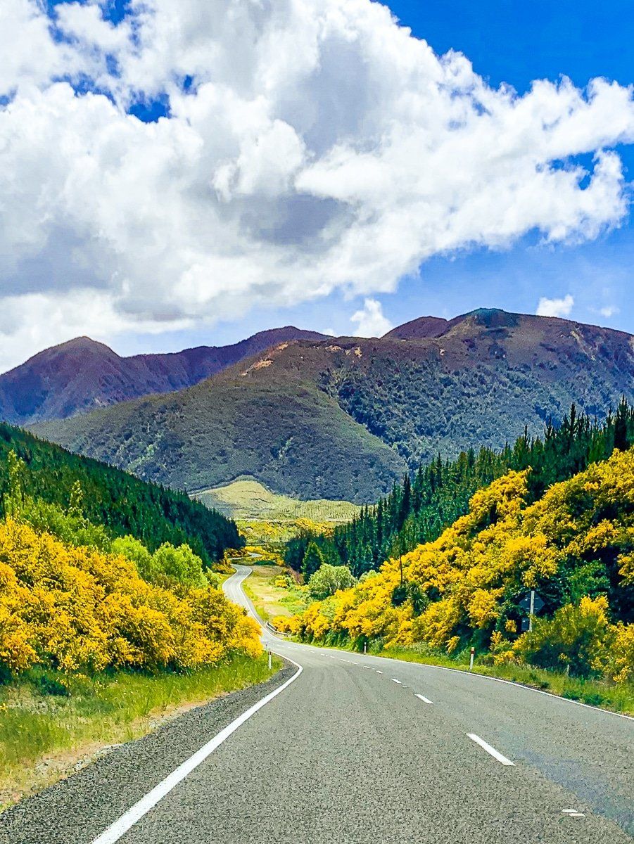
Drive Through Gentle Annie
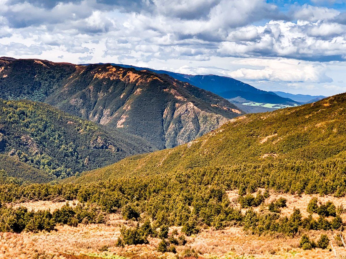
After leaving Kuripapango, heading southwest, the road ascends steeply through an area known as Gentle Annie. This route takes you to a plateau approximately 900 metres above sea level. The terrain here is rugged and characterised by regenerating forest, providing a unique landscape to traverse.
How to get there
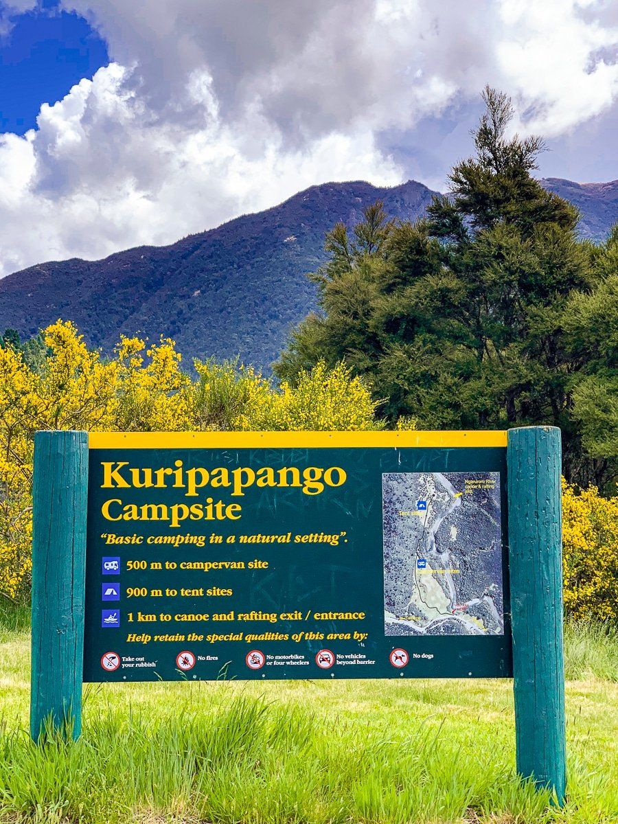
To reach Kuripapango from Napier, follow the Taihape Napier Road for 69 km, 70 minutes. Once there, follow the access road to the campsite. Be aware that there are no services available in Kuripapango, so plan accordingly.
Nearby, you can visit the Blowhard Bush.