Discovering Koropuku Falls in the Catlins
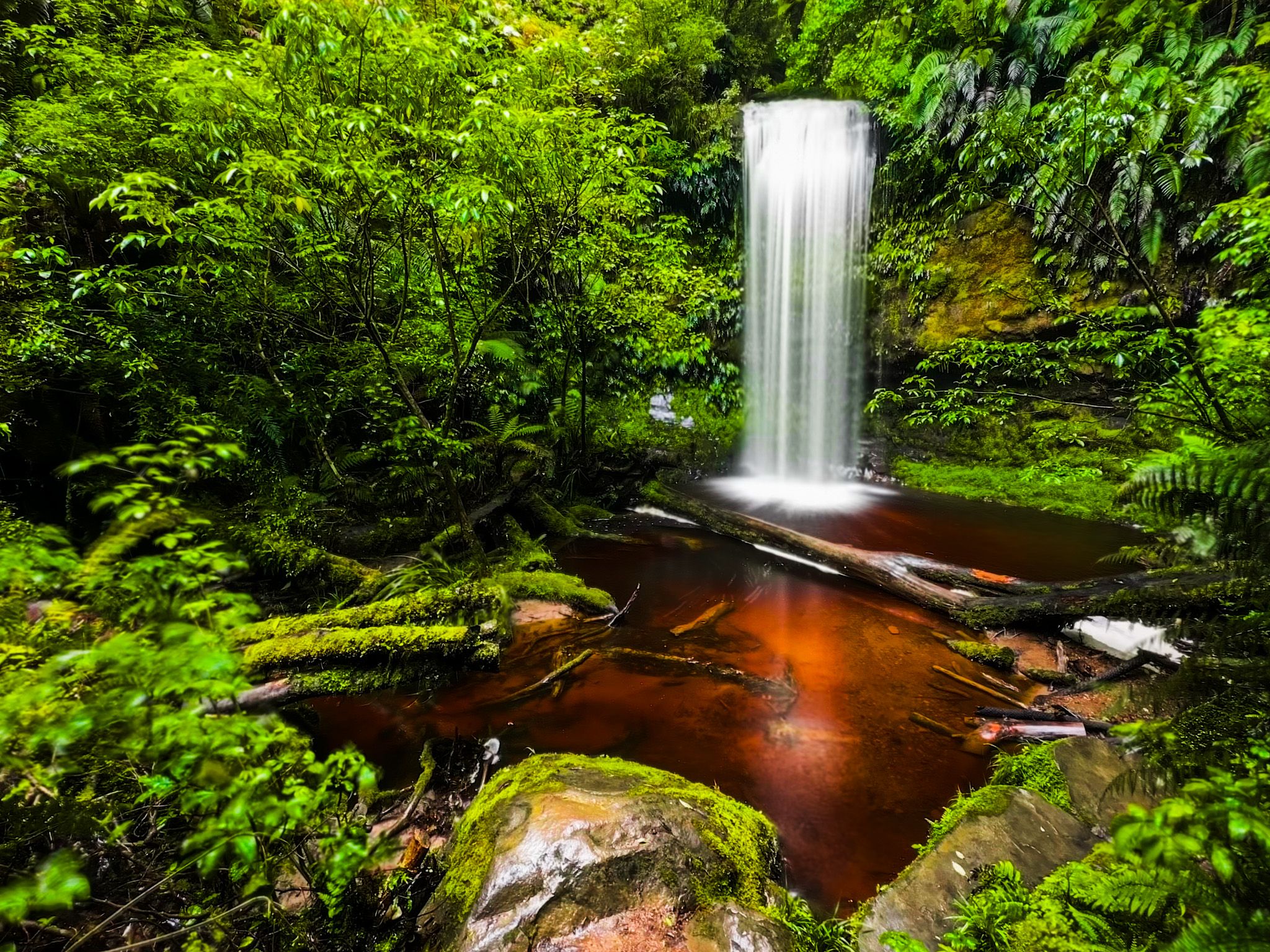
Koropuku Falls is a captivating 10-metre waterfall located on the western side of the Catlins within the Catlins Conservation Park. This scenic spot is directly accessible from the Southern Scenic Route, specifically the Chaslands Highway section. Although the signpost can be easily missed while driving, the location is marked on Google Maps and Topo NZ. The falls offer a unique experience, as the track leading to them is not a Department of Conservation (DOC) track, despite being situated in a conservation area.
Unique Track Construction
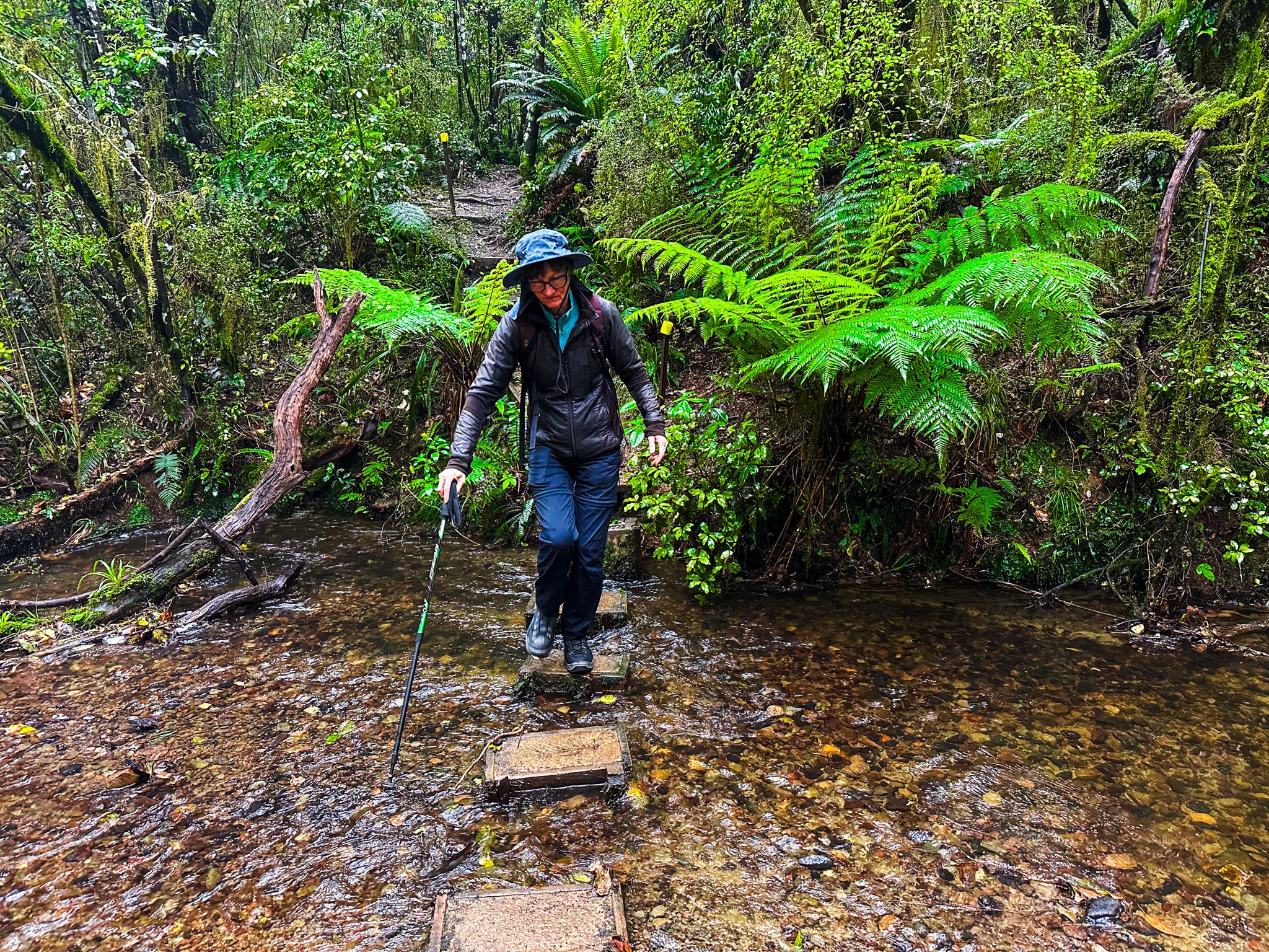
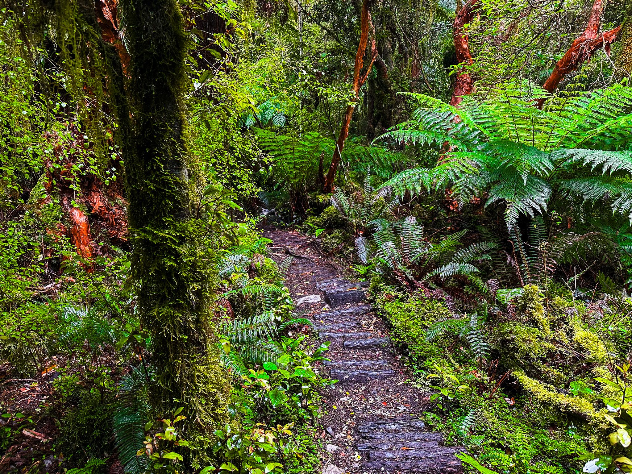
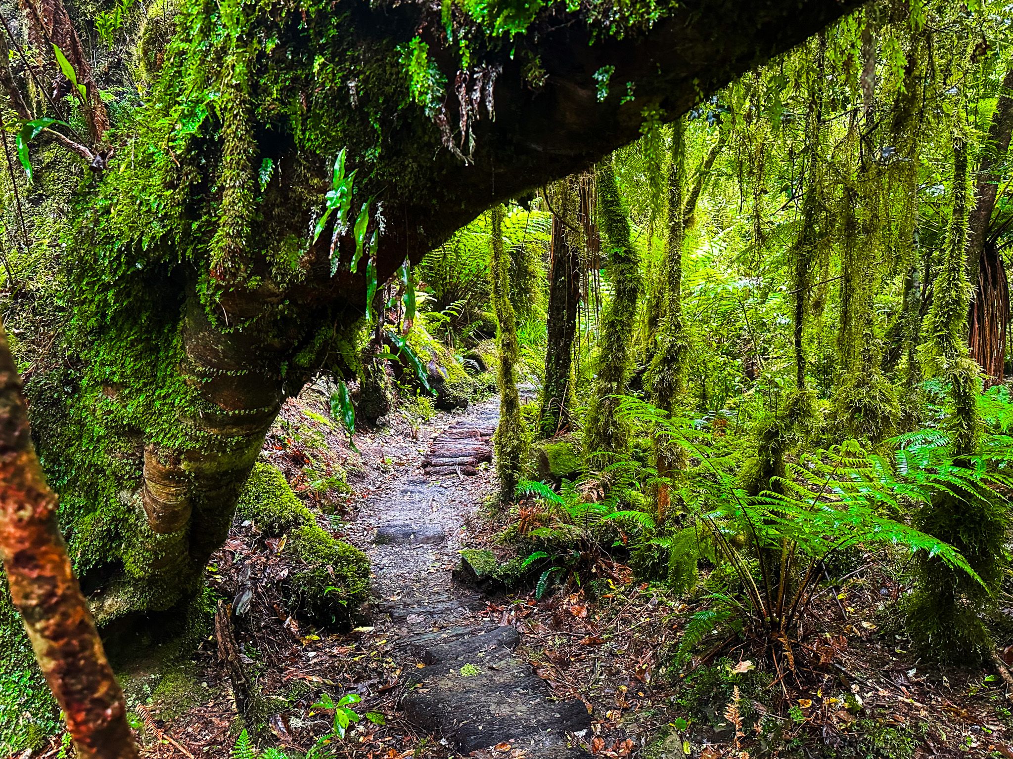
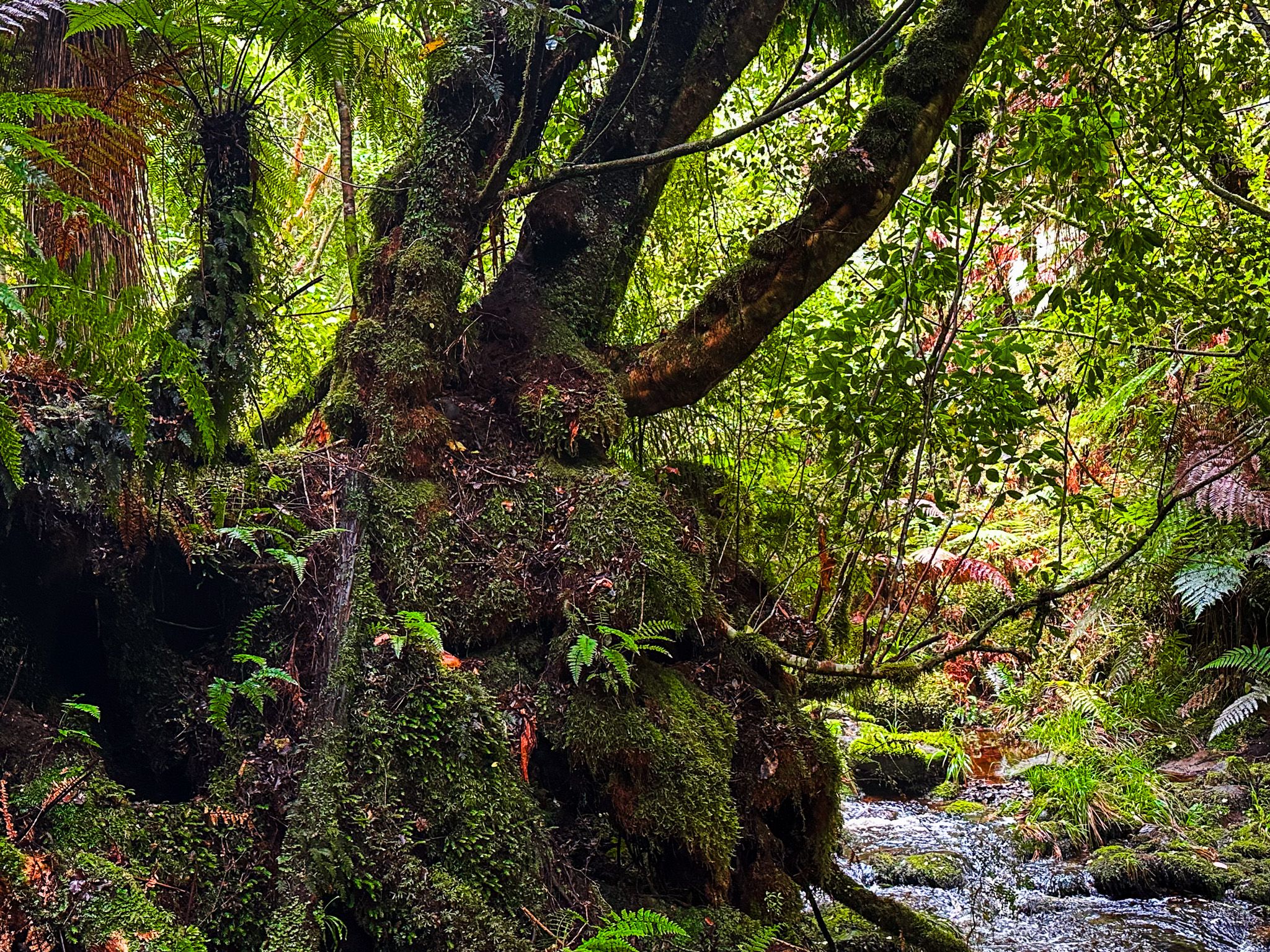
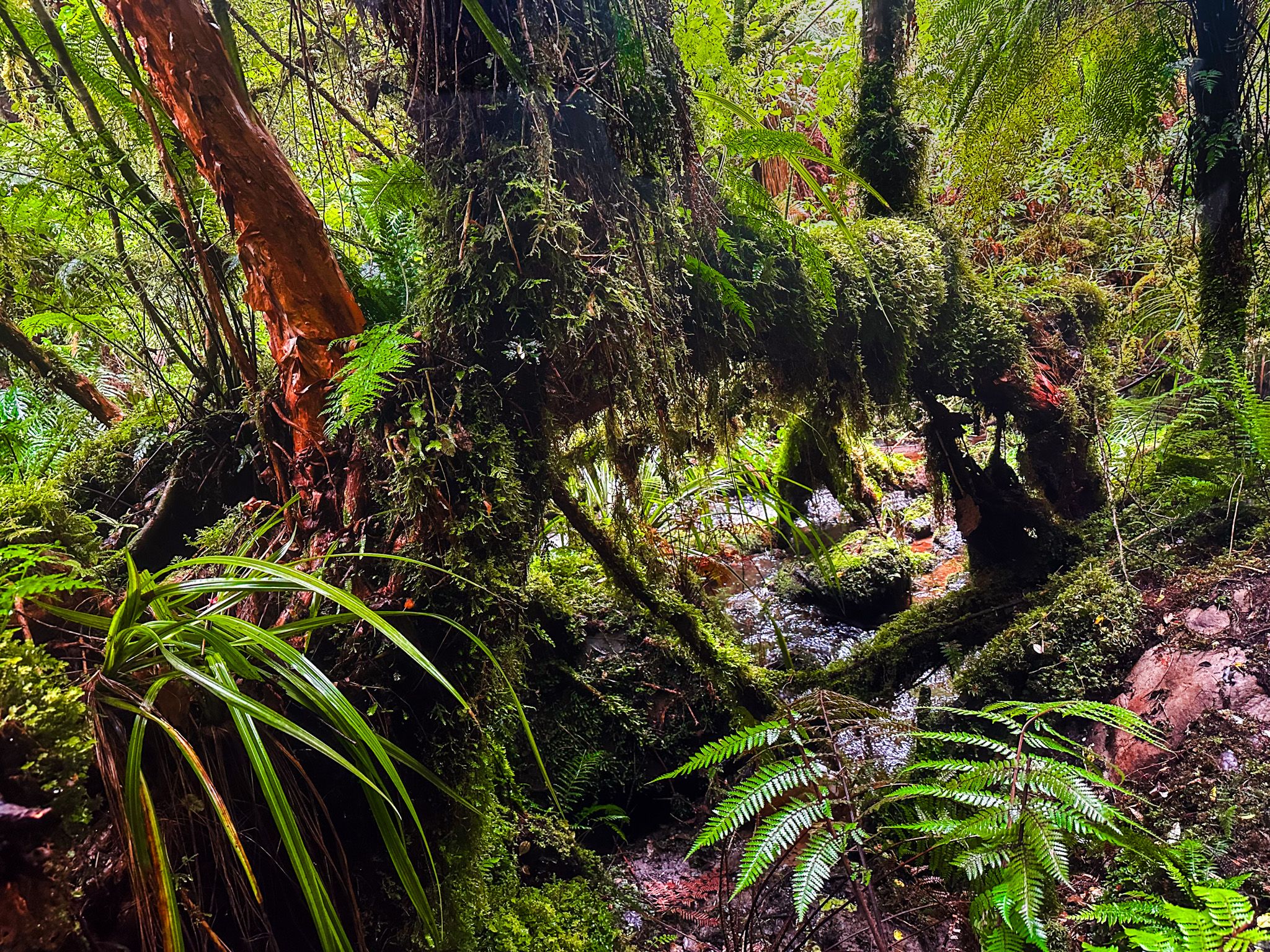
The track to Koropuku Falls is a short 15-minute walk each way. Unlike the typical wide gravelled DOC tracks found in the Catlins, this path is narrow and was constructed by two local men, Wayne Allen and Peter Hill. Over 15 years, they made the waterfall accessible by carrying 2,000 punga logs into the forest to create a surface on the otherwise muddy ground. This unique construction gives visitors a more intimate experience with the surrounding rainforest.
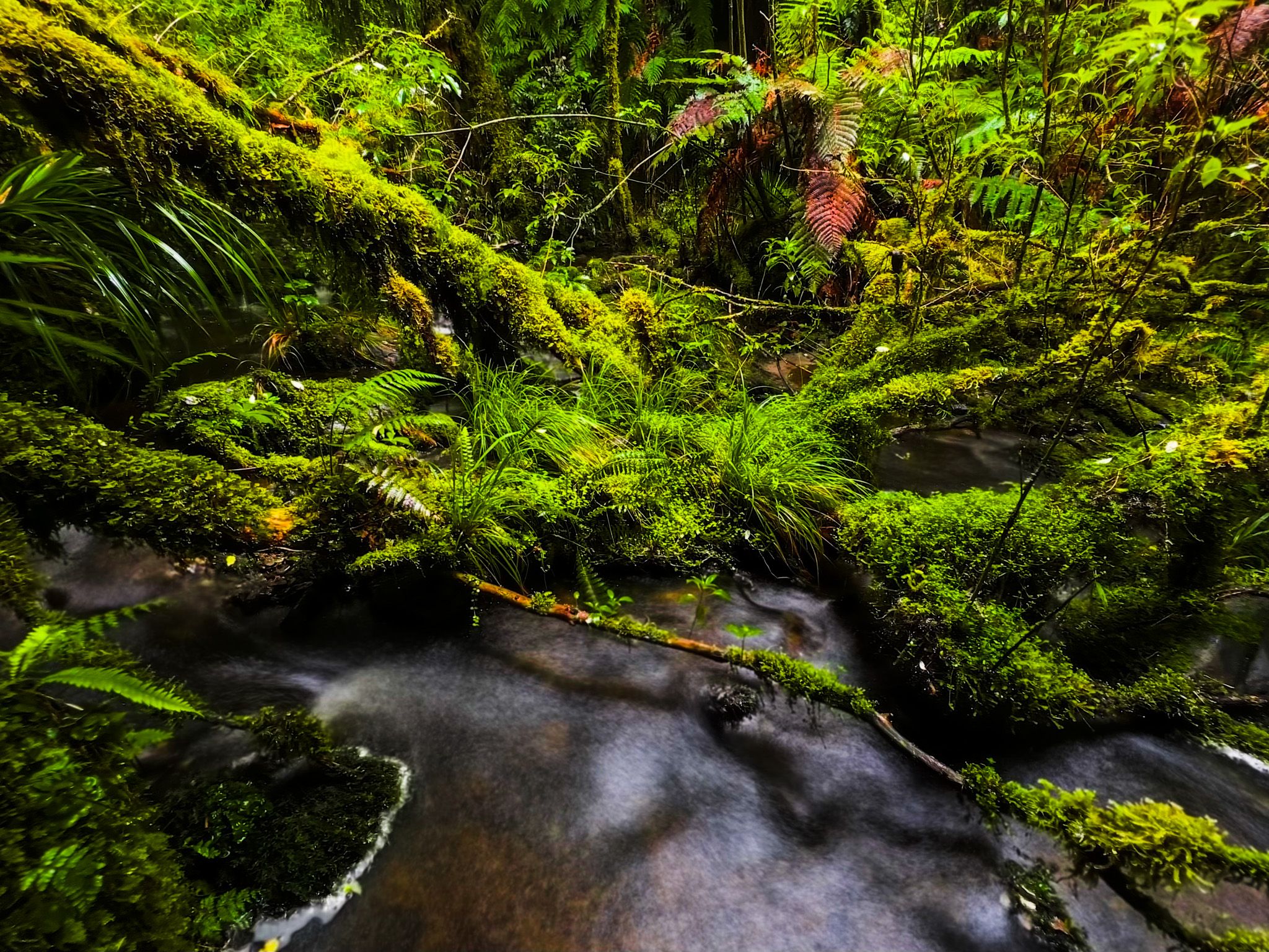
A Scenic Walk to the Falls
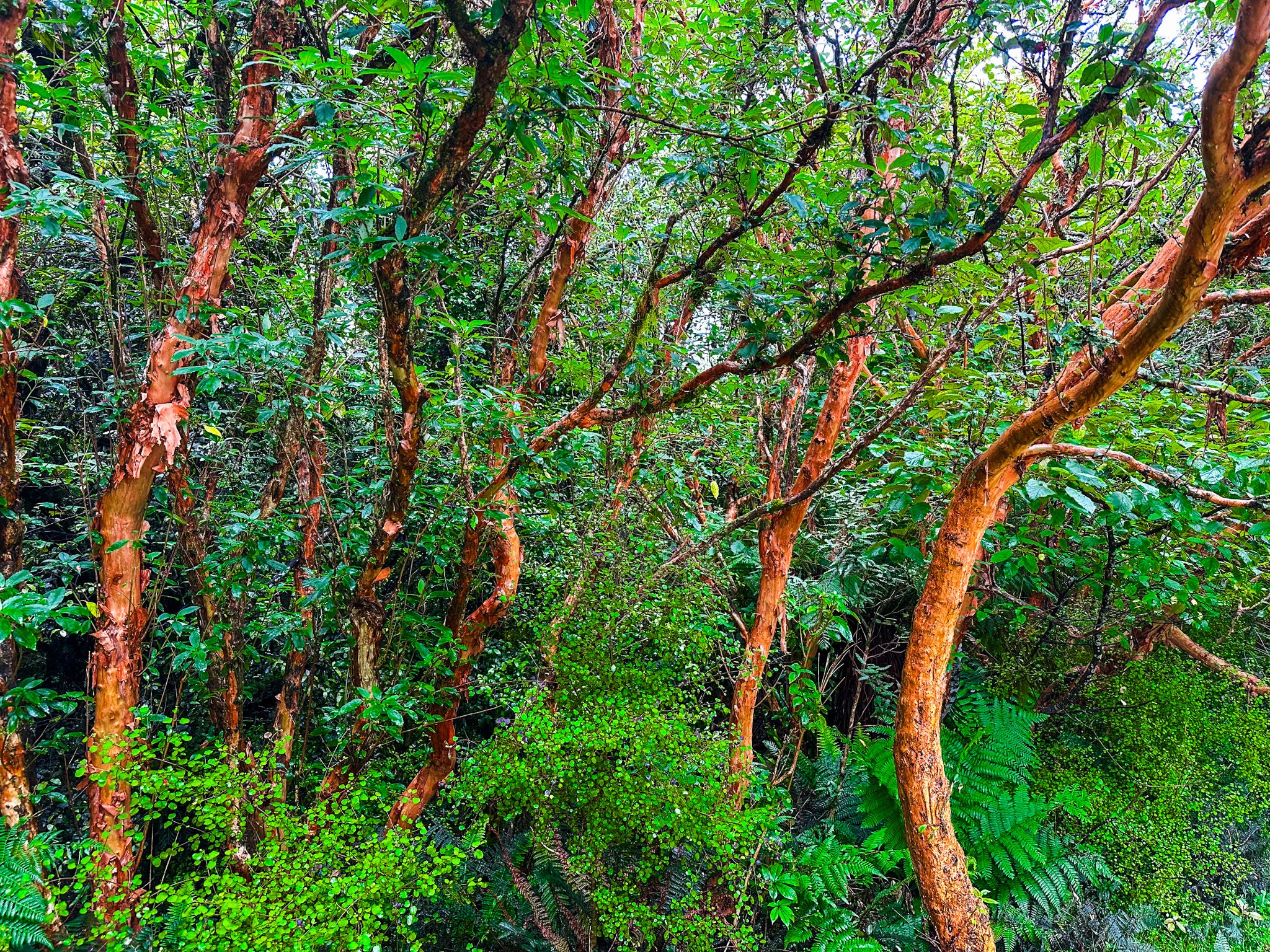
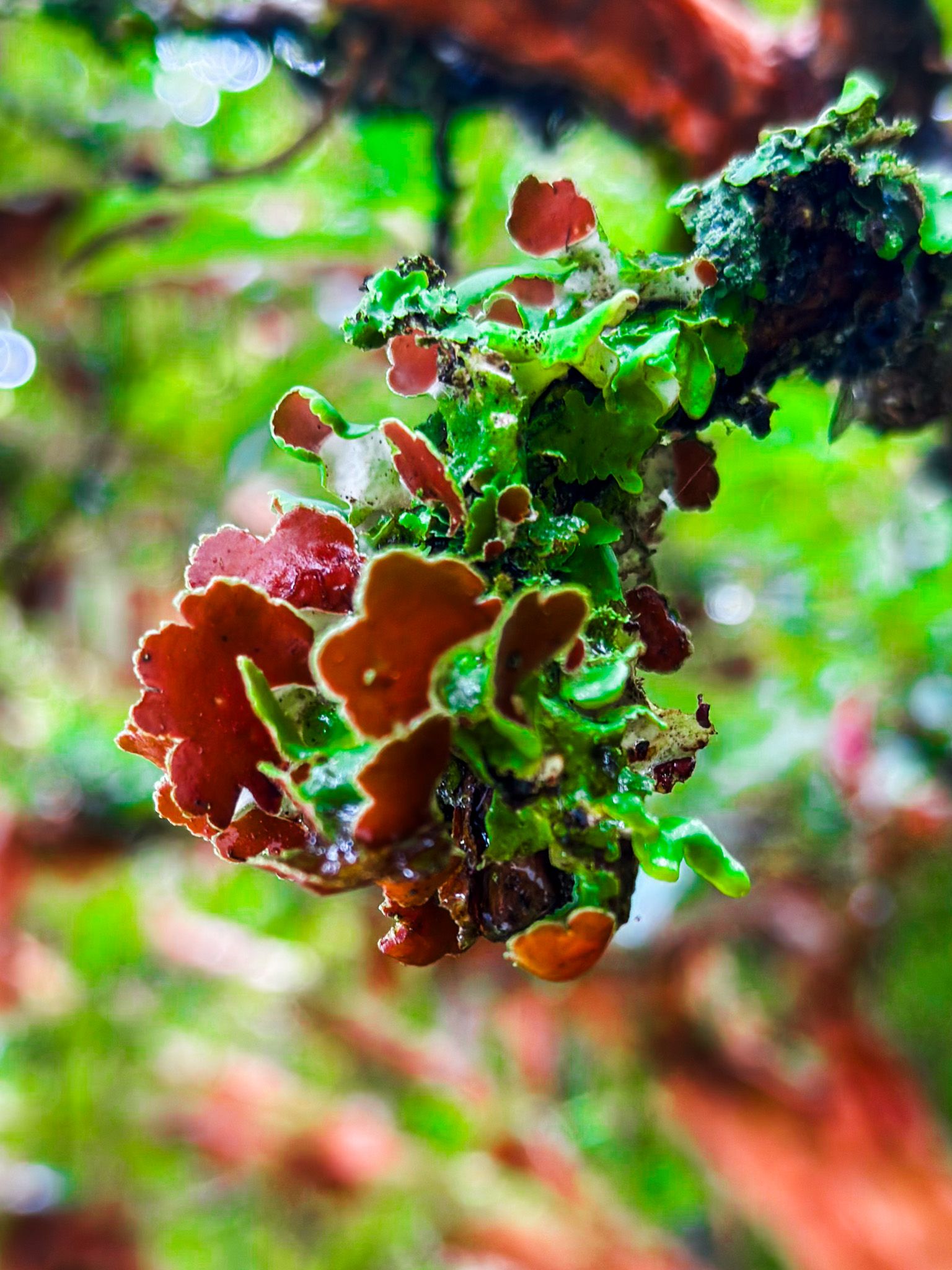
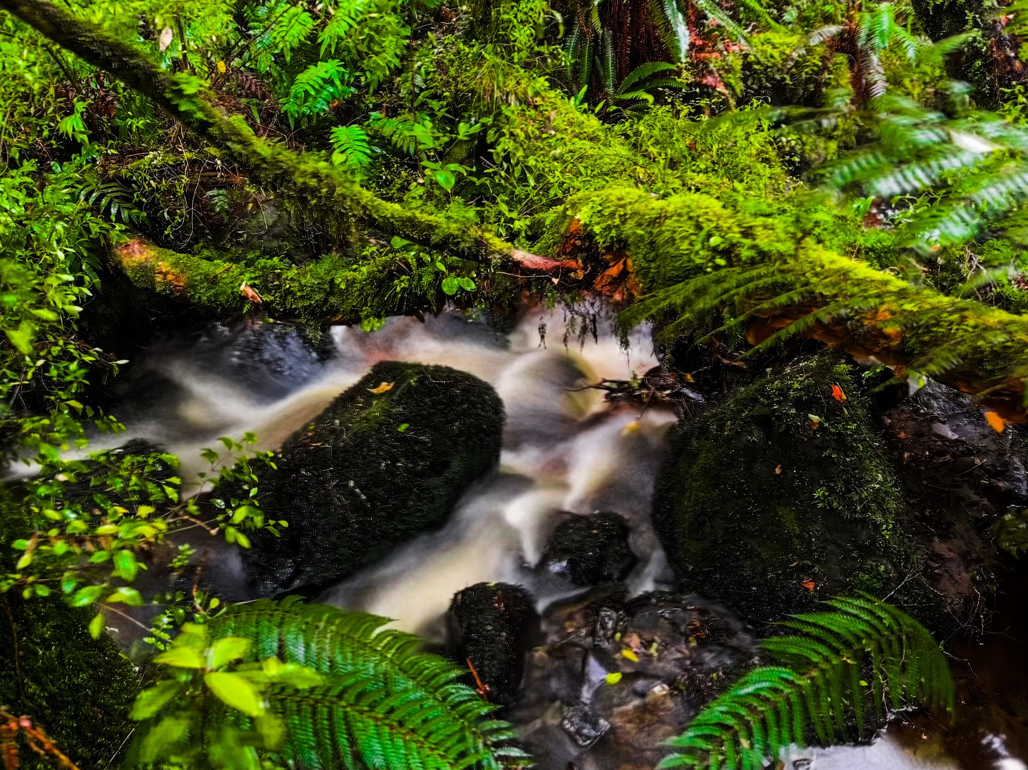
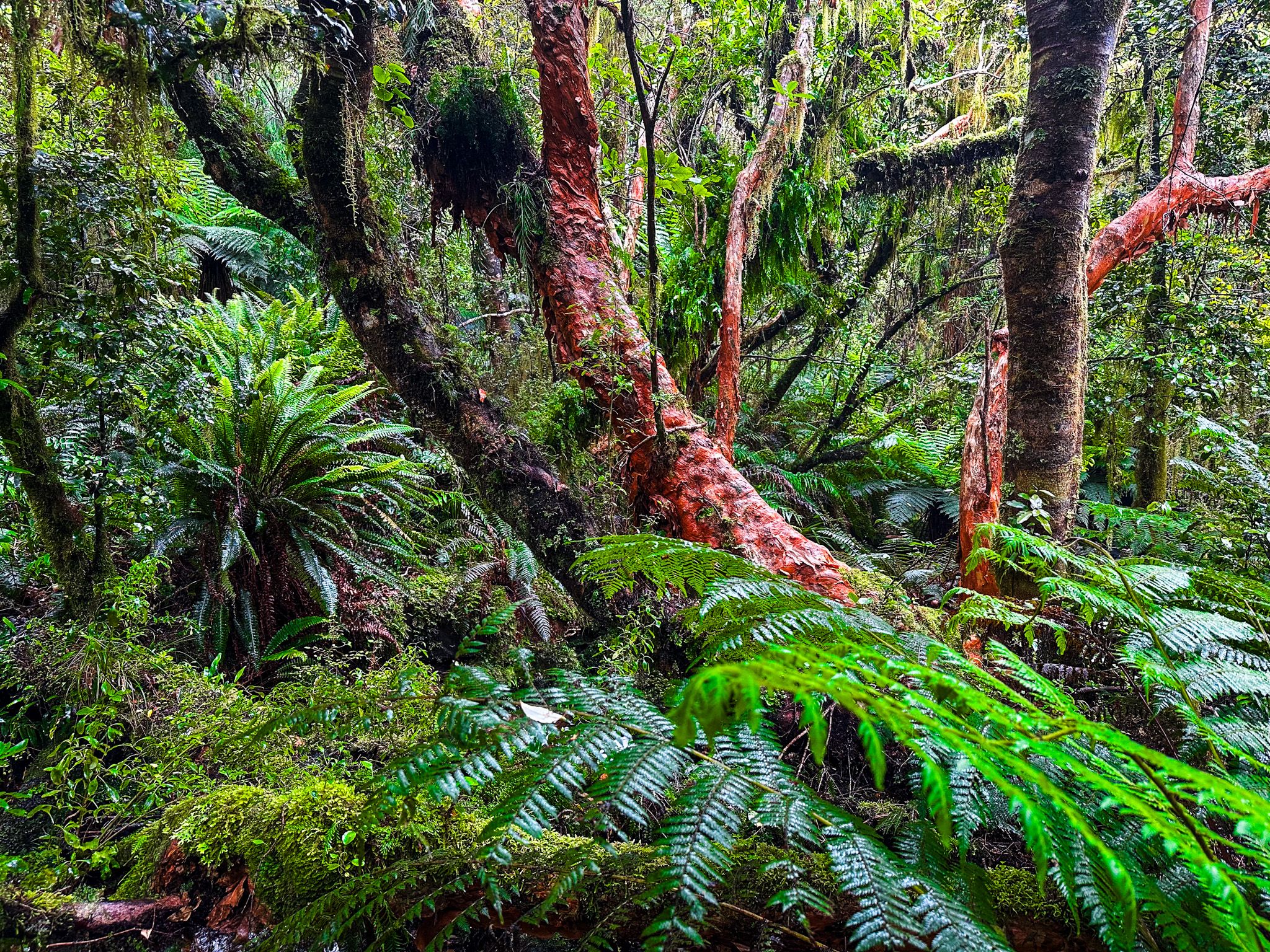
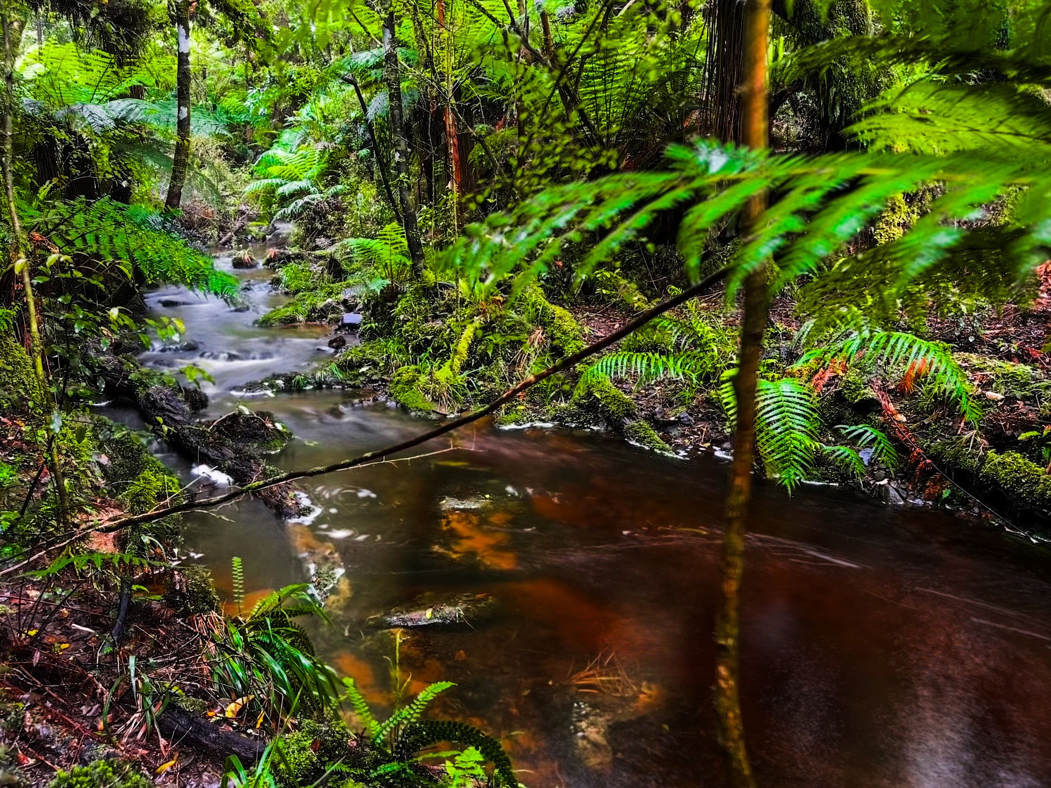
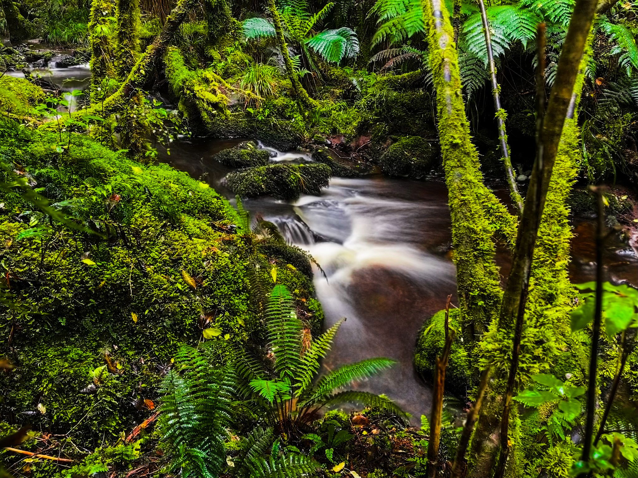
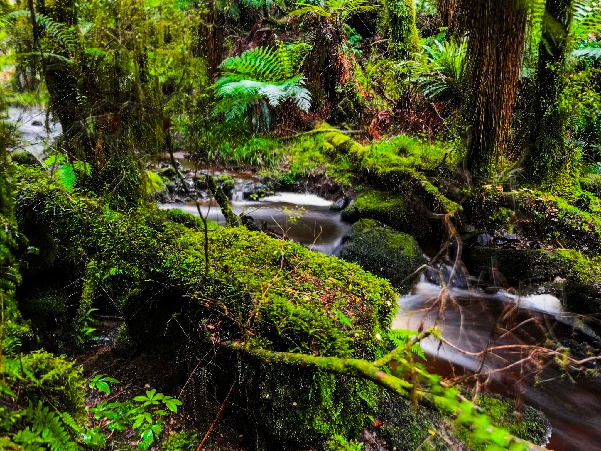
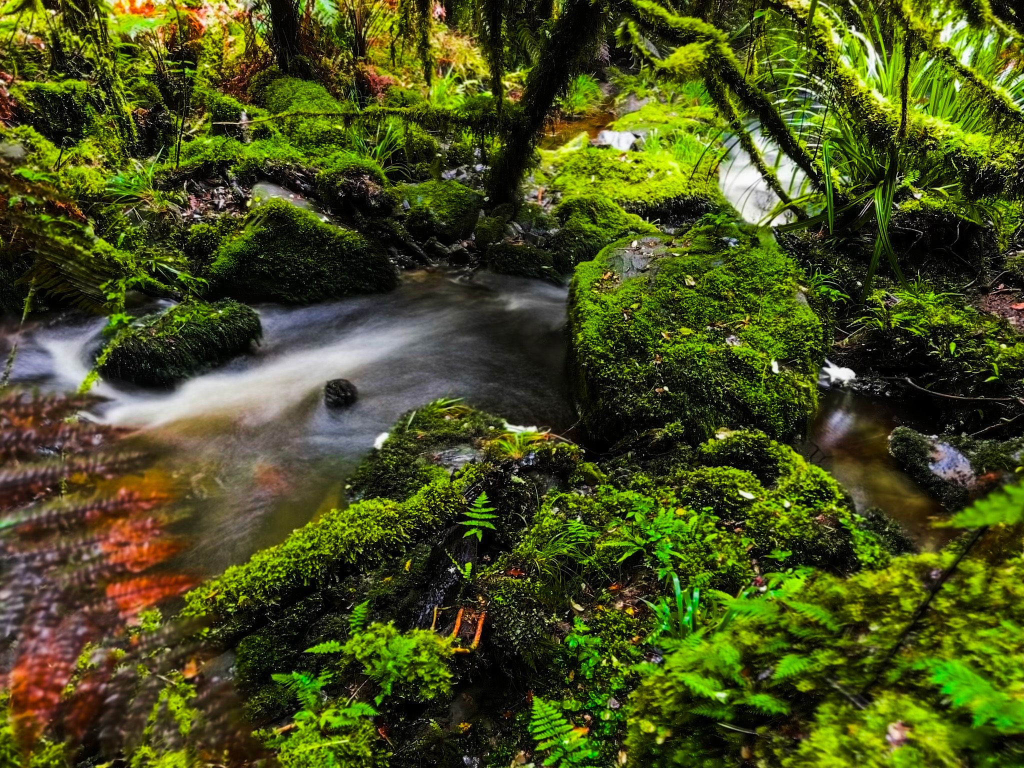
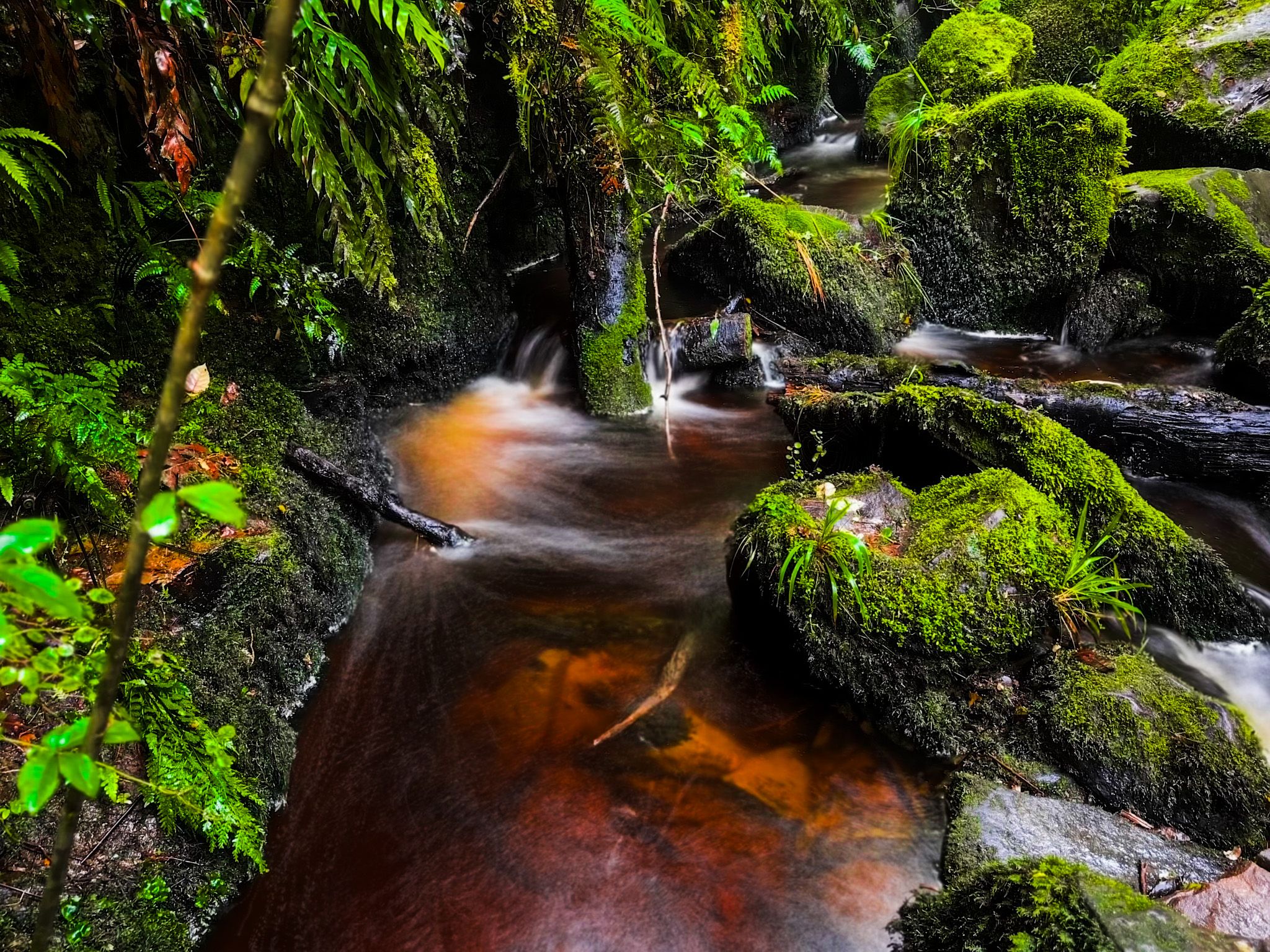
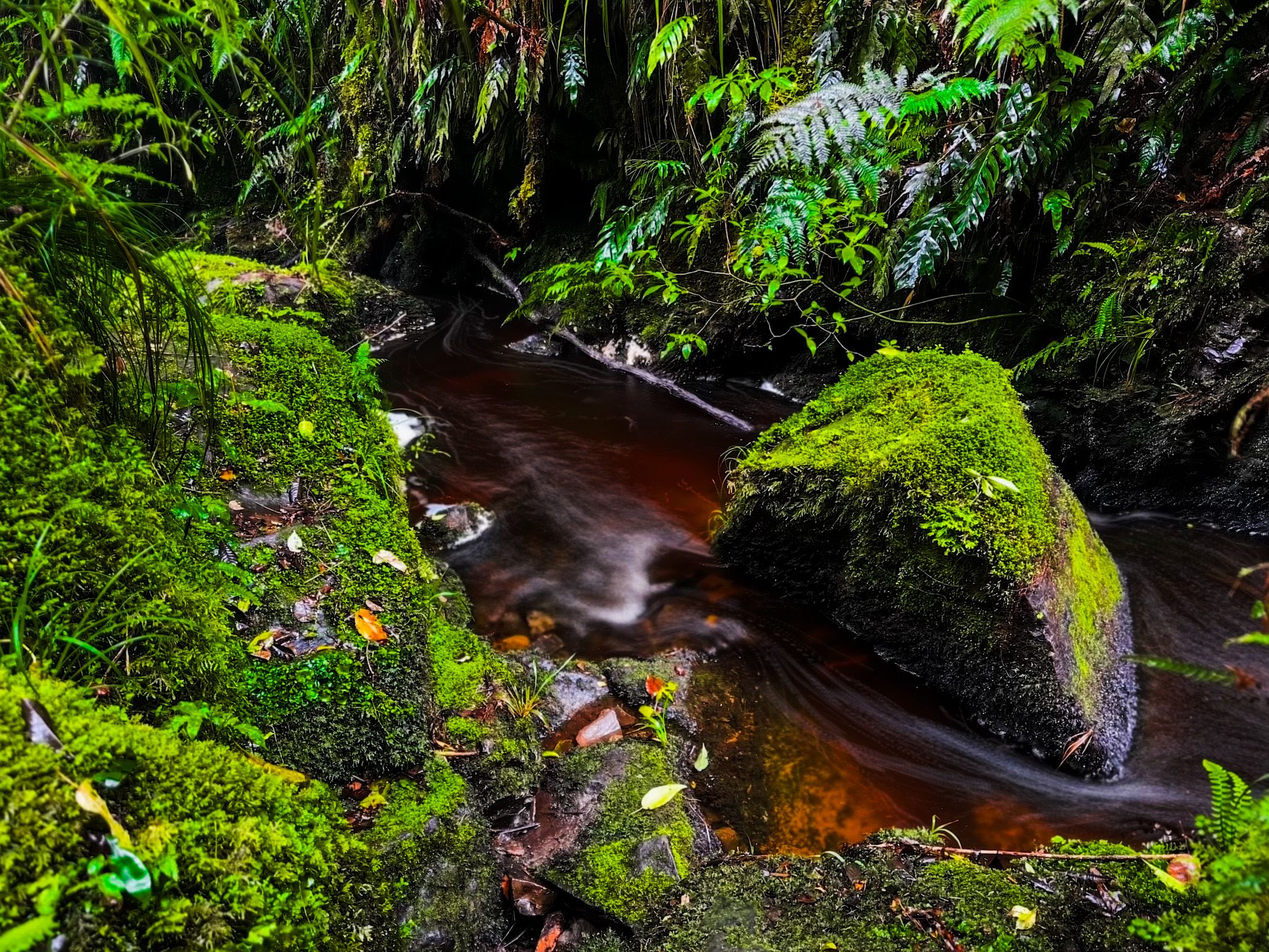
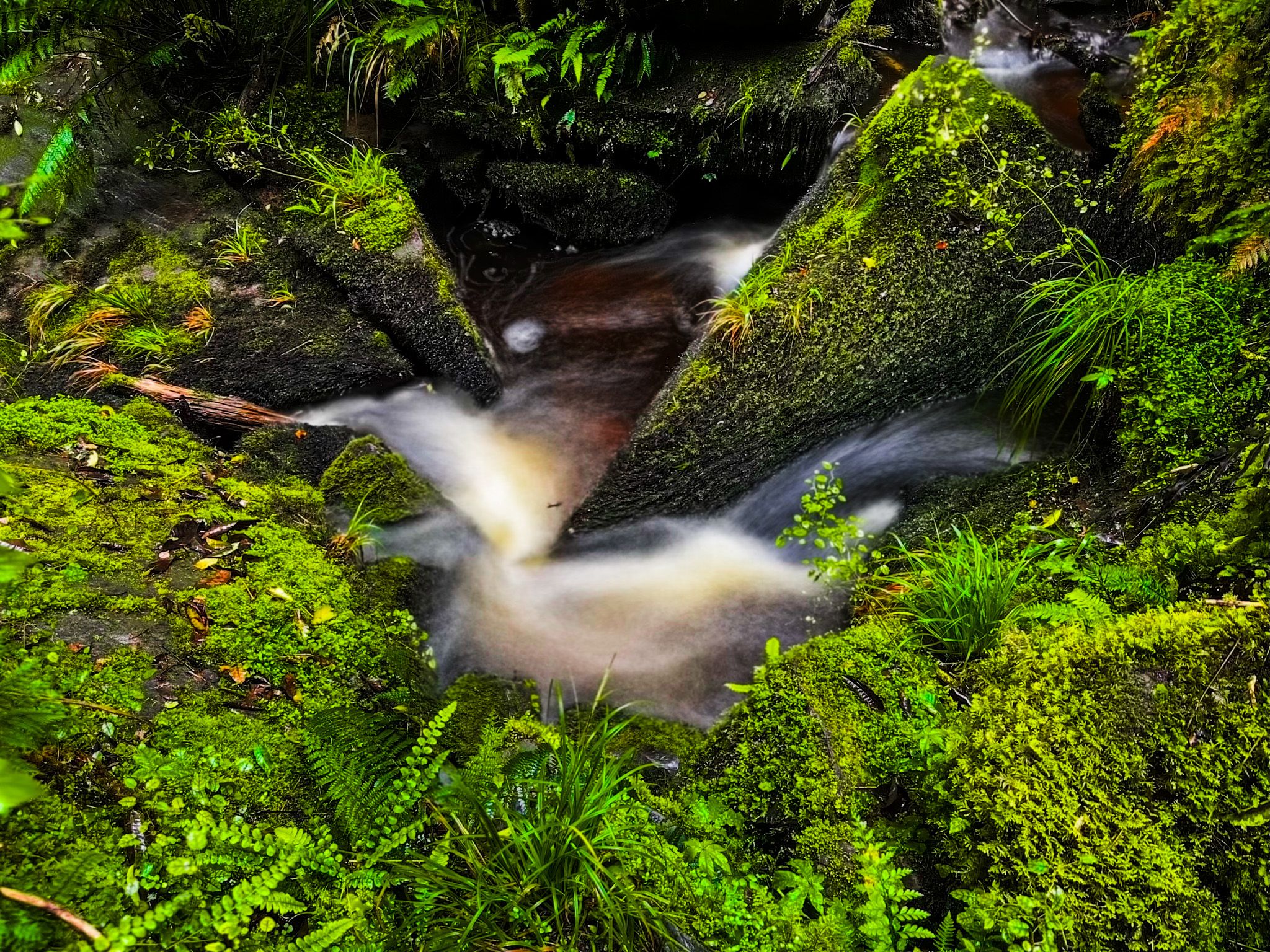
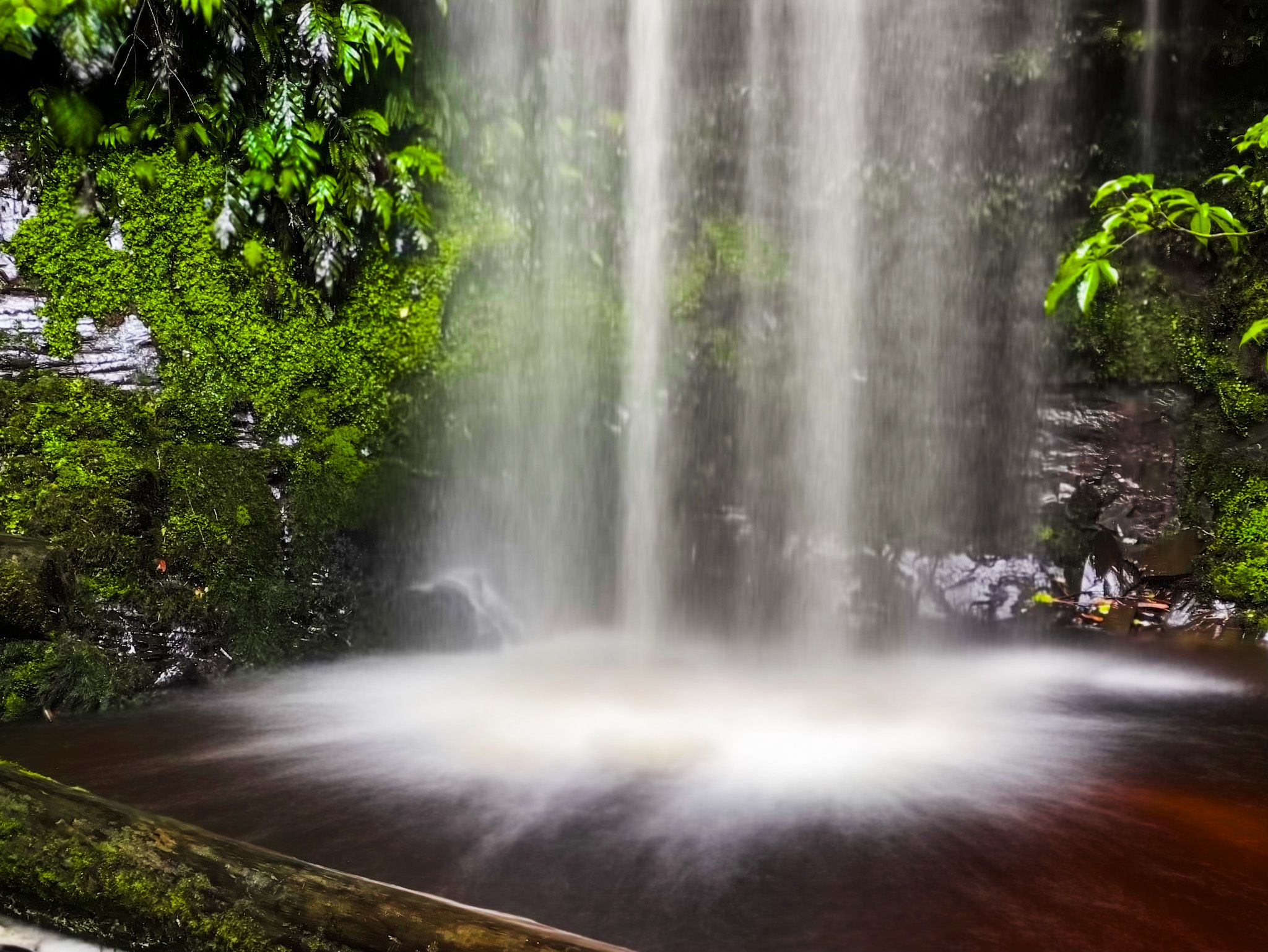
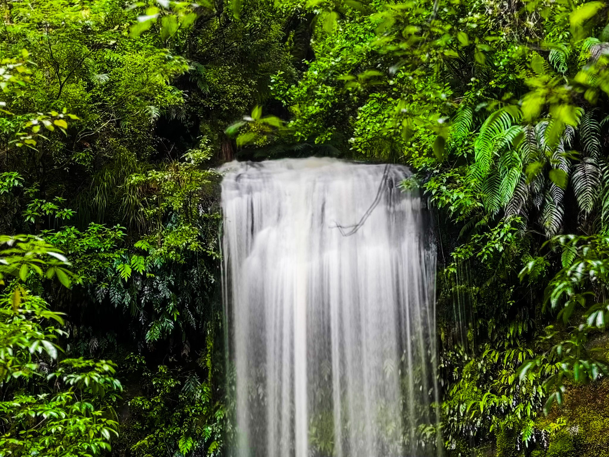
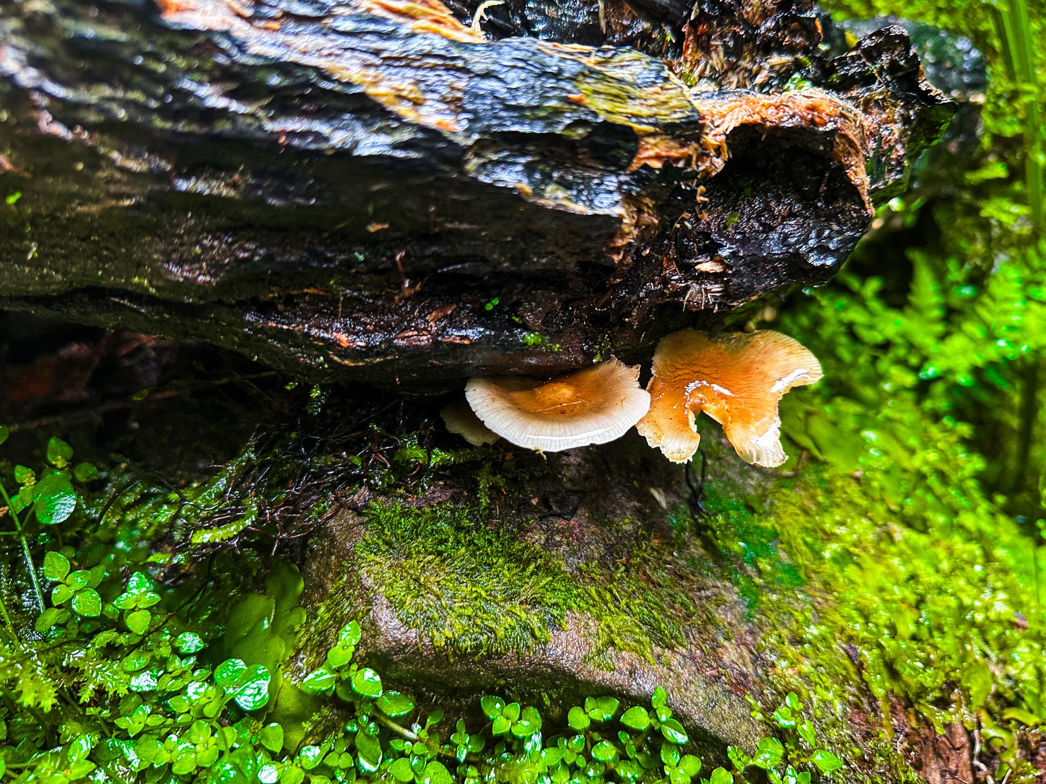
Walking the track to Koropuku Falls offers a sense of immersion in the rainforest, especially when wet. The final section of the walk, along the stream, is particularly picturesque, featuring a mix of rocks, trees, ferns, moss, and lichen. The waterfall itself is nestled within a stunning amphitheatre of rock walls and greenery, making it arguably the prettiest of the waterfall walks in the area.
How to Get There
Koropuku Falls is located 50 kilometres southwest of Owaka, along the Southern Scenic Route. The drive takes approximately 50 minutes. The falls are situated between Tautuku Bay and Curio Bay. Keep an eye out for the signpost as you drive along the Chaslands Highway section to ensure you don't miss this hidden gem.
Other nearby options accessible by side roads from the main highway include McLean Falls and Cathedral Caves.