Exploring Historic Kerikeri Basin
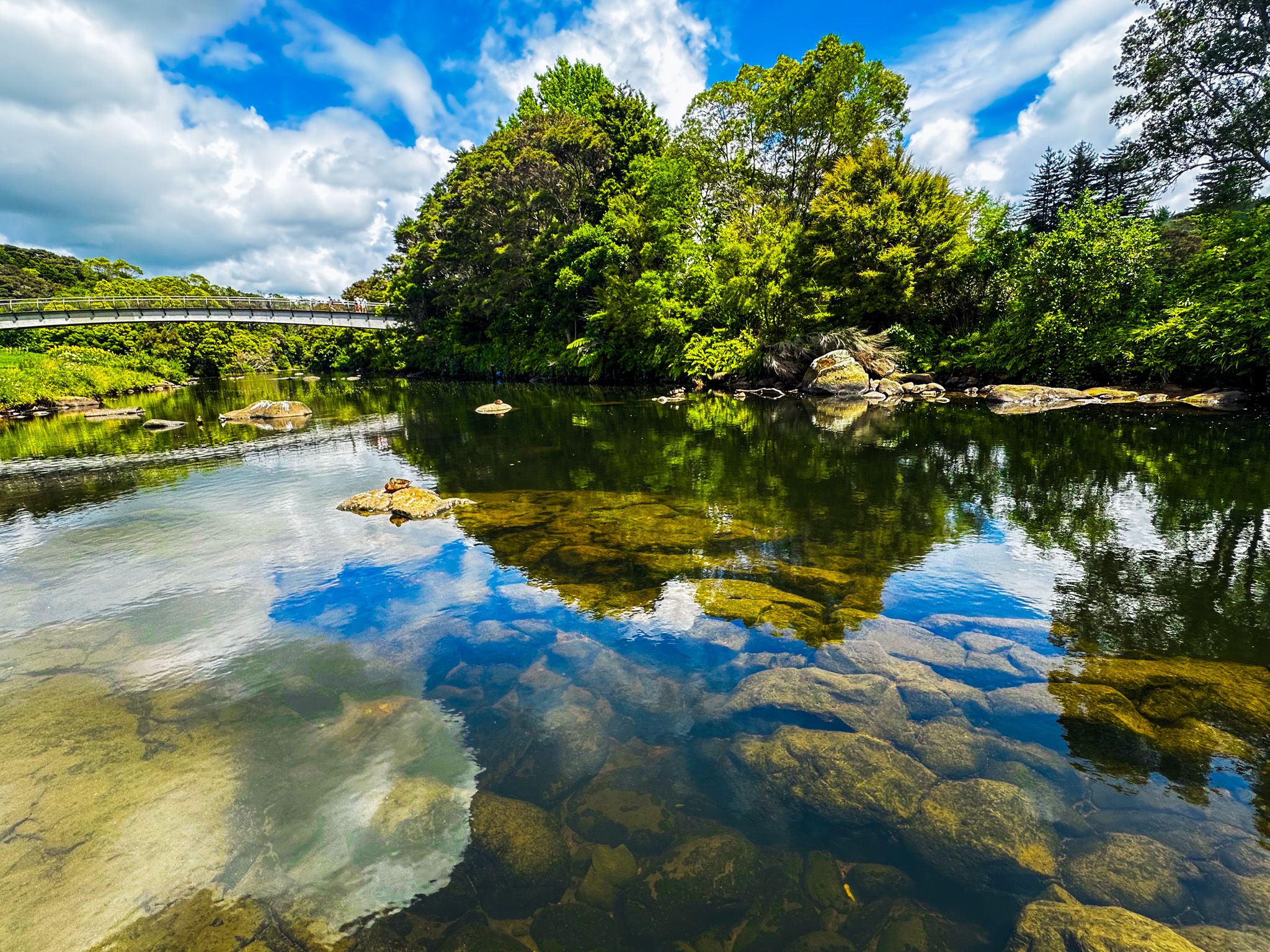
The Kerikeri Basin in Northland marks the site where the Kerikeri River meets the inlet to the Pacific Ocean. This compact riverside area preserves New Zealand's oldest wooden and stone buildings alongside a reconstructed Māori settlement and the significant Kororipo Pā site. The basin also provides direct access to the Kerikeri River Walk and remains one of the country's most significant historical landscapes.
Exploring Historical Features
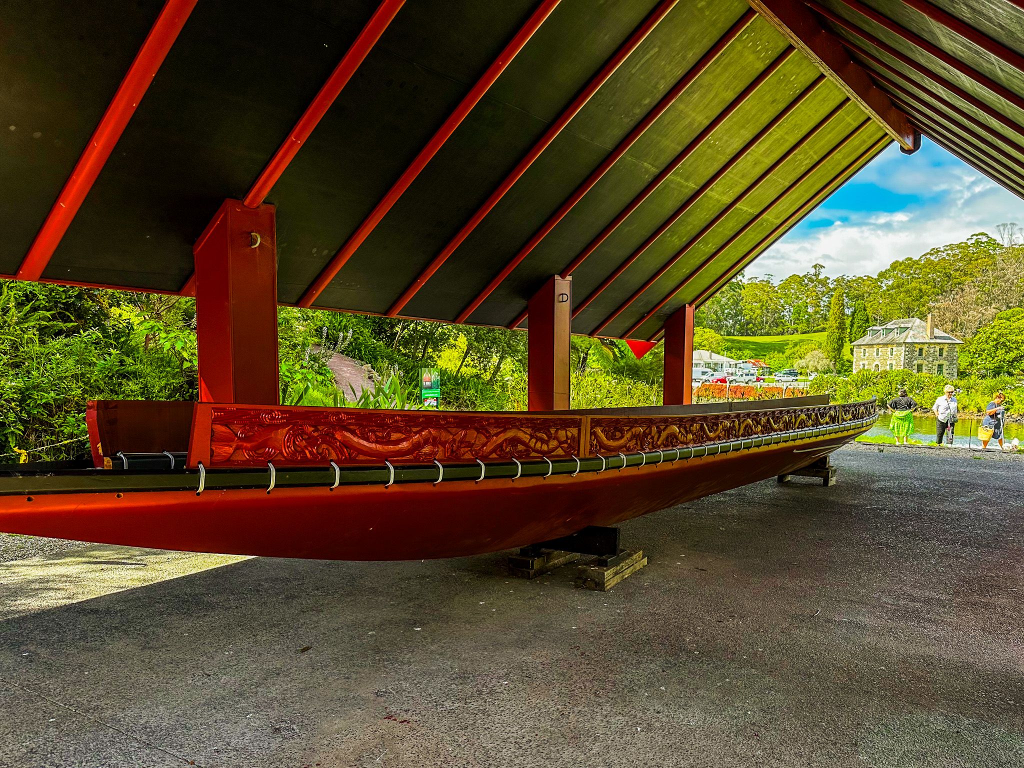
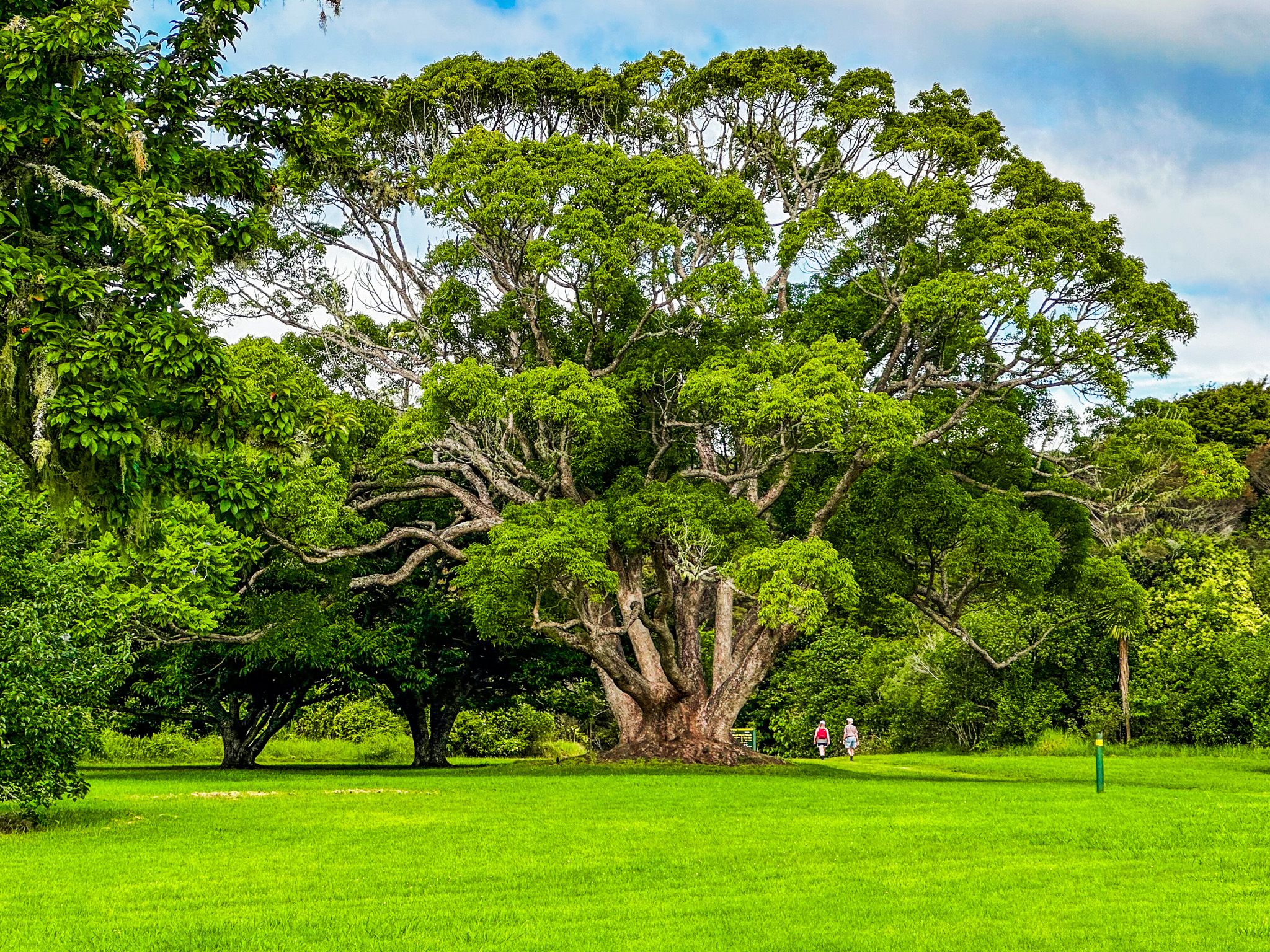
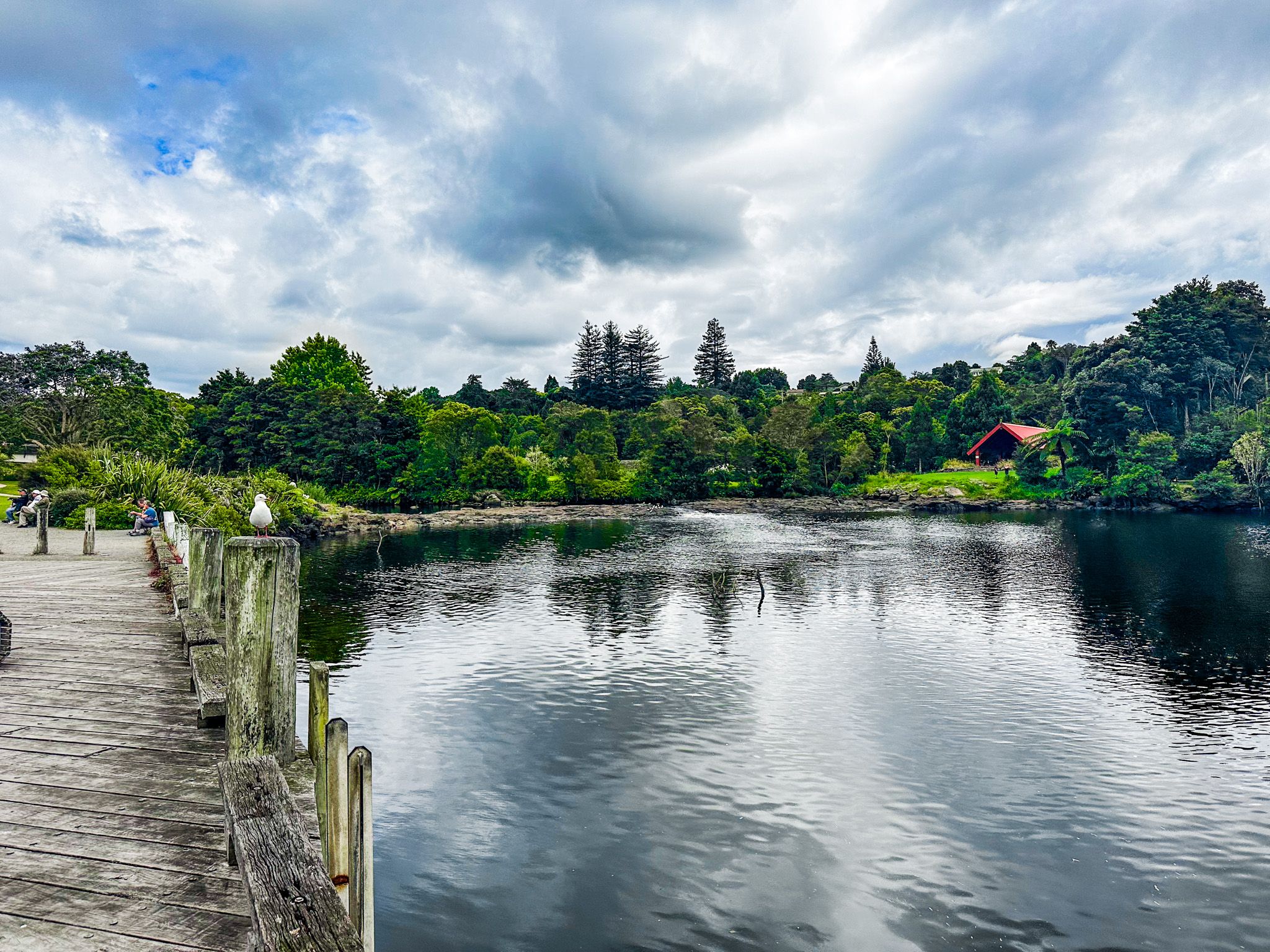
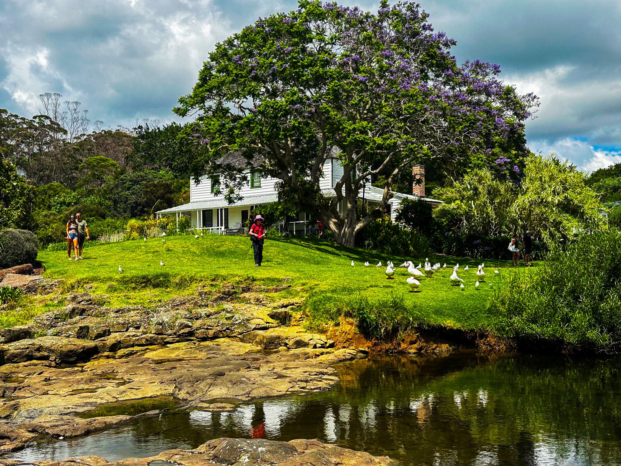
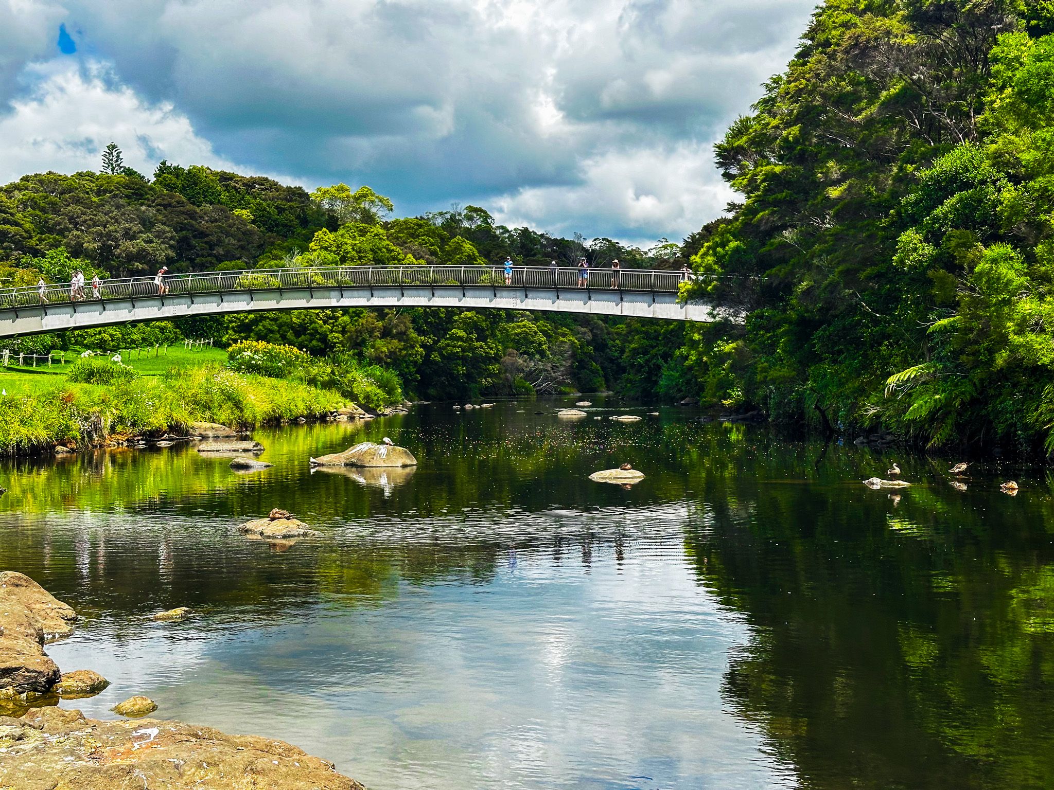
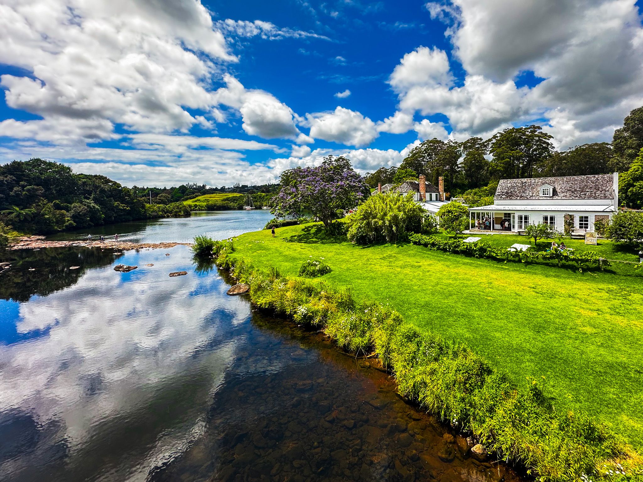
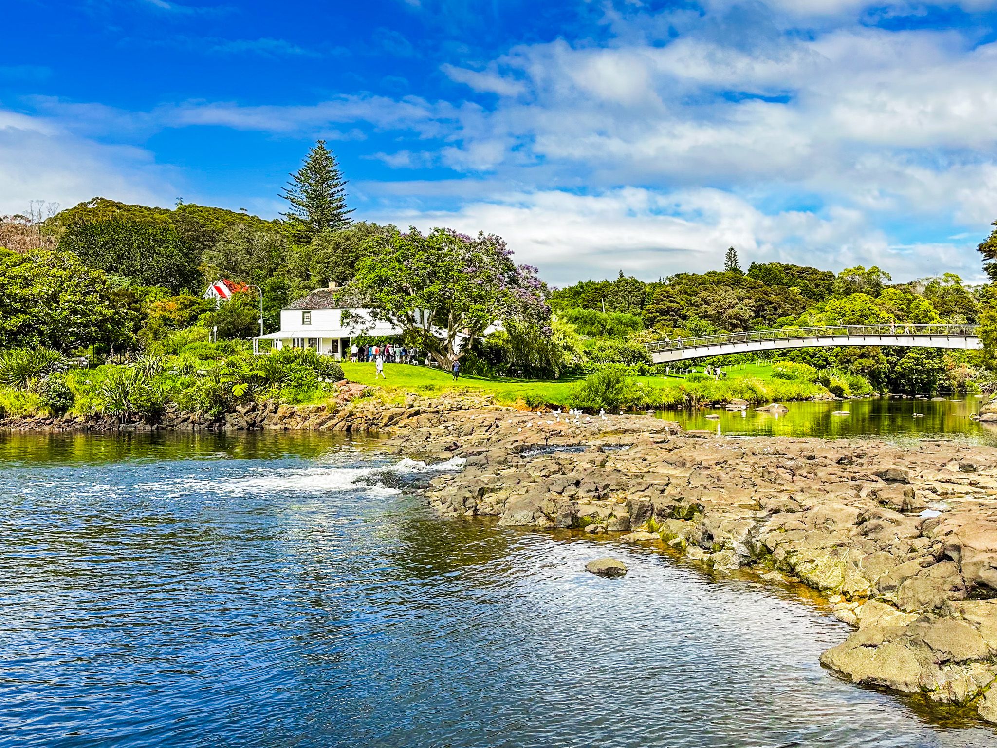
The basin is divided into two distinct areas connected by a footbridge. On the south side, the Stone Store and Mission House anchor the historic precinct, while the Kororipo pā site rises just beyond. The north side features a large grassy reserve surrounded by mature trees, with two Māori canoes positioned near the riverbank.
The Stone Store, constructed between 1832 and 1836, is New Zealand's oldest stone building. The Mission House, built in 1822, holds the distinction of being the country's oldest wooden structure. Both buildings are open to visitors, with the Mission House surrounded by heritage gardens and exotic trees planted during the missionary period. A modern café operates behind the house.
The Kororipo Pā lies within the Kororipo Historic Reserve. A track takes you to the elevated pā site above the river inlet southeast of the Stone Store.
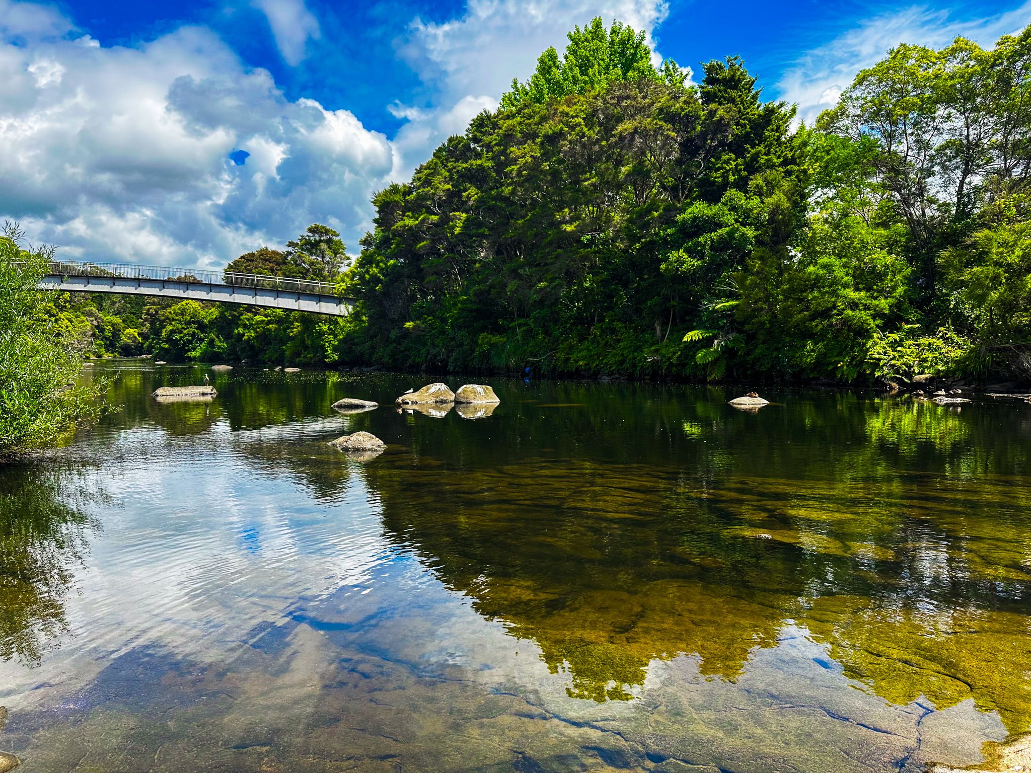
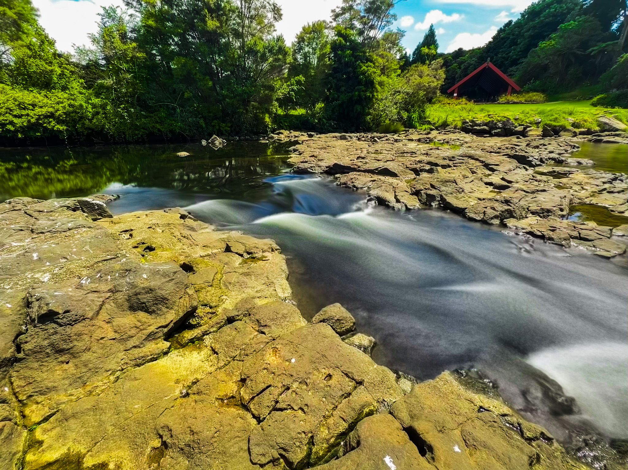
At the river mouth, a rock barrier creates a narrow, low waterfall. This barrier was modified during bridge construction in the early 1900s. Near the west side car park, a short walk leads to Te Ahurea, a reconstructed kāinga that demonstrates traditional Māori village life. The Kerikeri River Walk starts at the car park.
Early Māori and European Interaction
The basin was a thriving Māori settlement with pā, kāinga, and gardens before European arrival. In the early 1800s, the Ngāpuhi iwi, led by Hongi Hika, controlled the area, centred on Kororipo pā. Recognising the benefits of trade with Europeans and desiring access to firearms, Hongi Hika sold 53 square kilometres of land to Samuel Marsden in 1814 for the Church Missionary Society's use.
By 1819, missionaries had successfully cultivated grapevines and citrus in the basin. In 1820, Reverend John Butler became the first person to use a plough in New Zealand, marking the beginning of European agricultural practices in the country. The Mission House followed in 1822, and the Stone Store between 1832 and 1836. These developments were central to early European-Māori relations.
The settlement was initially named Gloucester Town. The name Kerikeri evolved from the Māori pronunciation "Keddi Keddi" or "Kiddeekiddee," likely derived from the river's name.
Getting There
To reach the east side of Kerikeri Basin, head northeast from Kerikeri town centre along Kerikeri Road. A car park sits on the wharf next to the Stone Store, with another car park next to the entrance to Kororipo Historic Reserve. For the west side, take Landing Road to a larger car park beside the reserve, where the Kerikeri River Track begins.
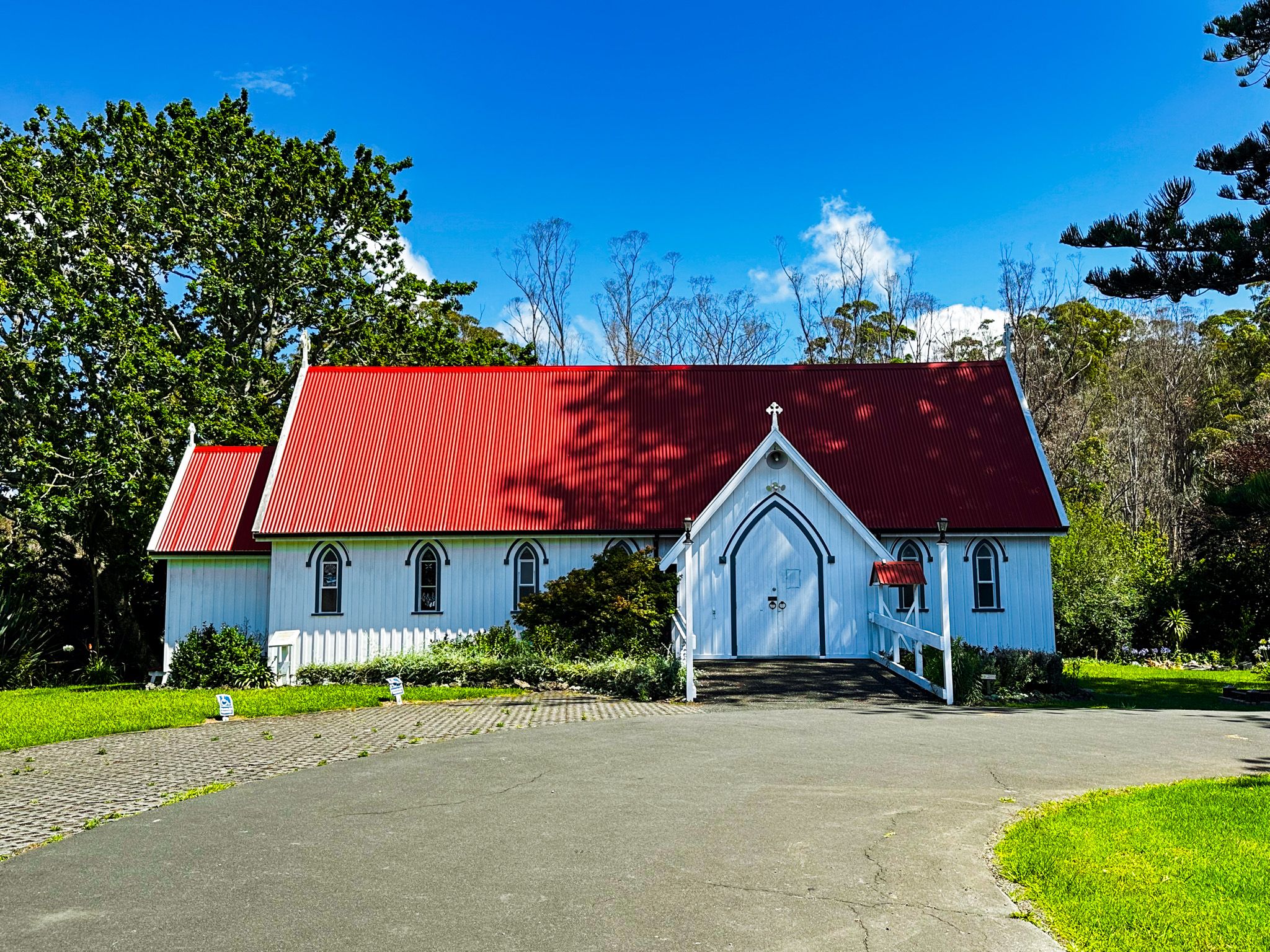
Other places to visit around Kerikeri include Rainbow Falls, Charlies Rock and Te Wairere Falls.